 Block
BlockCollege Station, Texas
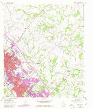
11 topographic sheets cover this place, the earliest surveyed in 1954 and the latest in 1993. It stands in the Bryan-College Station census division. It lies in ZIP code area 77840. The Survey maps it on the Bryan East quadrangle. 120,511 people lived here at the 2020 count. It stands 338 feet above sea level.
Research this city
On record in College Station
Buildings and businesses the archive holds for this place. Each opens its own page, with the source record it came from.
Surveyed buildings and structures 1 record
- Bird Pond Road Bridge, Spanning Carter Creek on County Road 184, College Stationfederal building survey, 4 photographs
Population over time
2 figuresCollege Station grew from 93,857 to 120,511 between 2010 and 2020. These are the recorded population figures Wikidata holds for this place, reached through the Geographic Names Information System number this page is keyed on rather than by name, so they belong to this place and not to another of the same name. Most are census counts, but not all are: an early figure may be a founding or settlement estimate, and an estimate published within five years of a census is left out. The change column is computed, and is left blank where more than 20 years separate a figure from the one before it, because a gap that long is not a change between two counts.
| Year | People | Change |
|---|---|---|
| 2010 | 93,857 | |
| 2020 | 120,511 | +26,654 (+28%) |
Topographic sheets covering this place
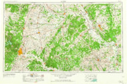
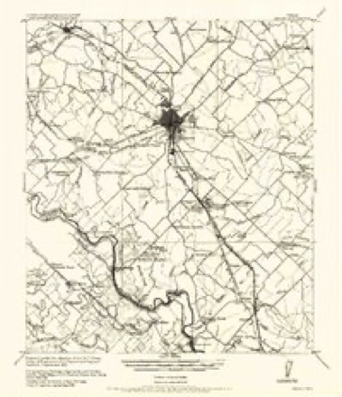
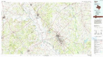
4 surveys from 11 printed sheetsMatched by testing this settlement's coordinate against the published boundary of every sheet in the United States Geological Survey's historical collection. Each opens the scanned sheet at the Survey.
- 1954 USGS Austin quadrangle1:250000, 4 printings
- 1956 USGS Bryan quadrangle1:62500
- 1962 USGS Bryan East quadrangle1:24000, 5 printings
- 1993 USGS Bryan quadrangle1:100000
Photographs
8 of 39 photographs shown, 1942Taken for the Office of War Information and the Farm Security Administration, who photographed the country between 1935 and 1944. Works of United States government photographers, with no known restriction on use. Each opens its catalogue record.
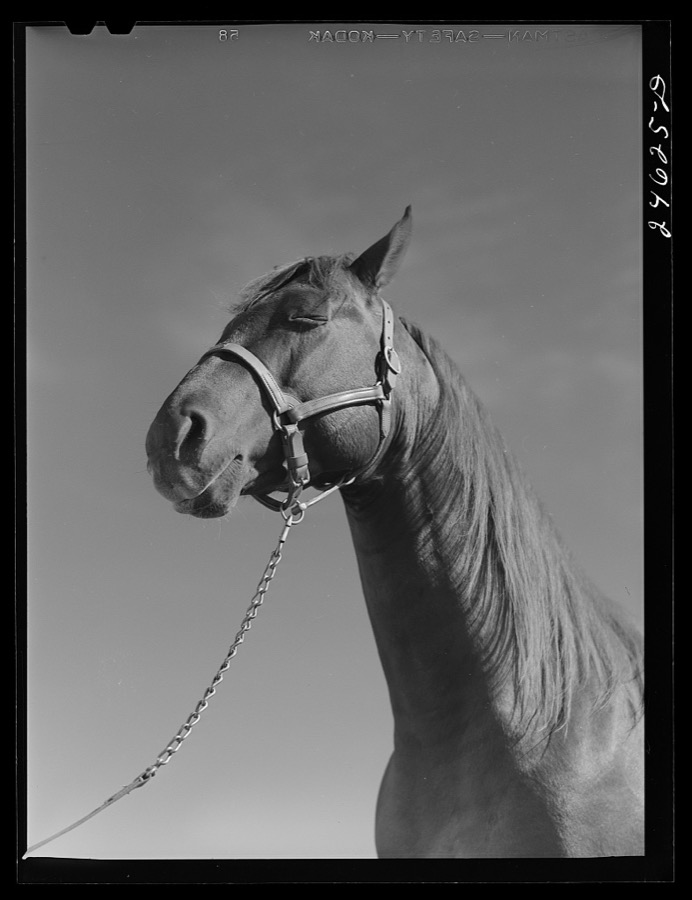
Rothstein, Arthur, 1942. Library of Congress
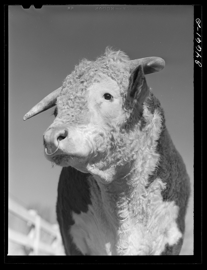
Rothstein, Arthur, 1942. Library of Congress
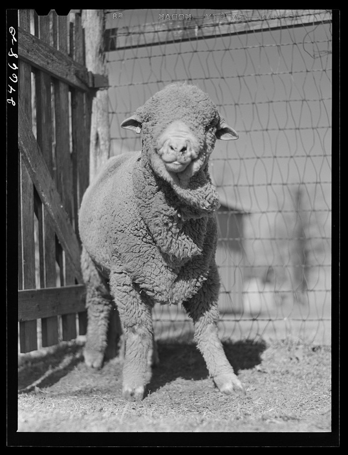
Rothstein, Arthur, 1942. Library of Congress
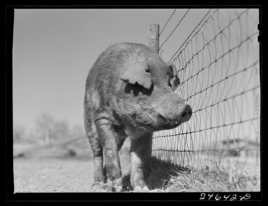
Rothstein, Arthur, 1942. Library of Congress
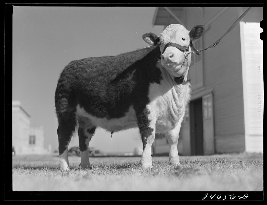
Rothstein, Arthur, 1942. Library of Congress
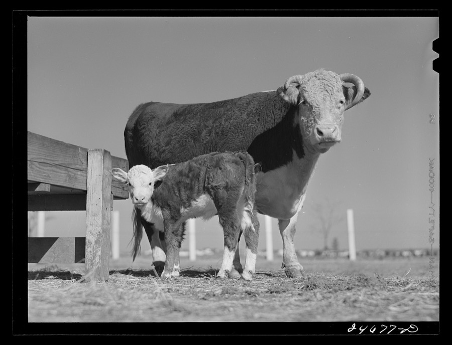
Rothstein, Arthur, 1942. Library of Congress
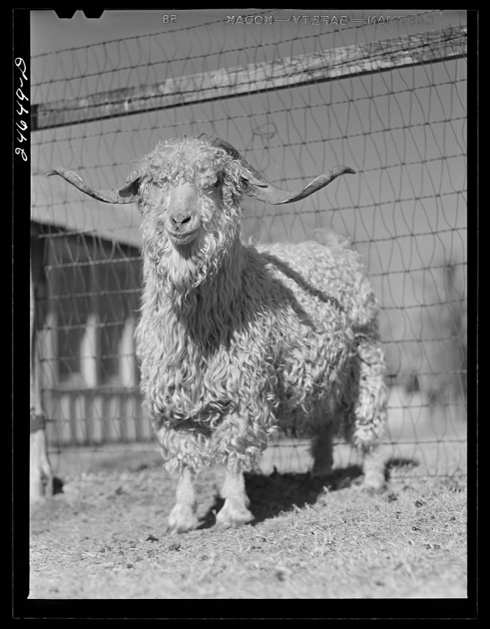
Photographer not recorded, 1942. Library of Congress
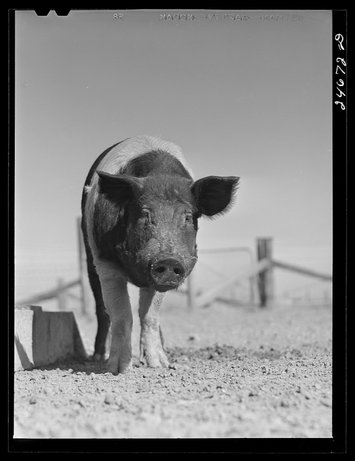
Rothstein, Arthur, 1942. Library of Congress
Every photograph of Brazos County
Fires near this place
360 since 1999Regional context, not property-specific evidence. The federal wildfire occurrence database lists 360 fires within 5 miles of College Station between 1999 and 2020, burning about 621 acres in total. 2 started naturally. 7 were recorded as arson. Distance is straight-line from the map coordinates, so a fire counted here may appear on a neighbouring settlement's page as well.
| Reported cause | Fires |
|---|---|
| Missing data/not specified/undetermined | 152 |
| Equipment and vehicle use | 56 |
| Debris and open burning | 55 |
| Smoking | 49 |
| Power generation/transmission/distribution | 27 |
| Misuse of fire by a minor | 8 |
| Arson/incendiarism | 7 |
| Recreation and ceremony | 4 |
| Natural | 2 |
The most recent of them, most recent first, with the day each was reported and the service that recorded it.
| Date | Cause | Size | Reported by | Name on the report |
|---|---|---|---|---|
| 8 September 2015 | Misuse of fire by a minor | 1.0 acres | Texas A & M Forest Service | 15-5694 BOSWELL FIRE |
| 8 September 2015 | Power generation/transmission/distribution | 1.0 acres | Texas A & M Forest Service | 15-5687 HWY 158 FIRE |
| 7 September 2019 | Missing data/not specified/undetermined | 1.0 acres | Texas A & M Forest Service | 1906945 HARVEY MITCHELL FIRE |
| 7 September 2015 | Missing data/not specified/undetermined | 1.0 acres | Texas A & M Forest Service | 15-5661 SANDSTONE FIRE |
| 7 September 2011 | Missing data/not specified/undetermined | 1.0 acres | Texas A & M Forest Service | 11-0004464 HARVEY MITCHELL HOT SPOT |
| 5 September 2012 | Equipment and vehicle use | 1.0 acres | Texas A & M Forest Service | 12-0004513 MAPLE GRASS FIRE |
| 5 September 2011 | Missing data/not specified/undetermined | 1.0 acres | Texas A & M Forest Service | 11-0004415 HARVEY MITCHELL HOT SPOT |
| 4 September 2017 | Equipment and vehicle use | 1.0 acres | Texas A & M Forest Service | 17-6142 EARL RUDDER FIRE |
Settlements close enough to share some of these fires:
Storms near this place
60 of 123 shownRegional context, not property-specific evidence. The National Weather Service names College Station in 123 storm reports between 1994 and 2026: 64 hail, 36 thunderstorm wind, 10 flash flood, 5 tornado. The reports record 3 injuries. Each account below is quoted exactly as the forecast office filed it, from the NOAA Storm Events Database, and each date opens the federal record of that event.
| When | Event | Place named | Harm | What the report says |
|---|---|---|---|---|
| December 2006 | Tornado (F1) | College Station | 3 hurt, $2,750,000 | Tornado moved south to north crossing central College Station. Touchdown reported near Longmire Street and FM 2818. Several businesses and an apartment complex received significant damage. The majority of the damage was concentrated along the Harvey Mitchell Parkway. |
| January 1999 | Hail | College Station | $10,000,000 | Golfball size hail was dominate across the Bryan/College Station area, however, there were also softball sized hail mixed in. Widespread damage to windows, cars, and roofs. |
| April 2007 | Thunderstorm Wind | College Station | $250,000 | Significant straight line wind damage to businesses between Rock Prairie and Wellborn Streets. Majority of roof torn off a veterinary medical center on Wellborn Road. Storm also damaged the roof and windows of the College Station Middle School affecting five classrooms and one laboratory. Numerous trees were uprooted throughout area blocking portions of Victoria Road while one tree crushed a vehicle on West Rock Prairie Road near Dowling Road. Reported damage to livestock hutches over at Texas A&M. |
| September 1997 | Thunderstorm Wind | College Station | $100,000 | Likely microburst at intersection of Contron-Dix Rd near the railroad tracks. 10 railroad cars overturned, house damaged, and trees down. |
| July 2004 | Thunderstorm Wind | College Station | $60,000 | Roof damaged on Fidelity Street with trees and fences down between Victoria and Shire Drives. Wind damage to trees and fences from Rock Prairie to Elderwise and over to Welch Drive in southwest College Station. |
| June 2004 | Flash Flood | College Station | $55,000 | Numerous streets and highways under water in and around College Station. |
| July 2014 | Flash Flood | College Station | $50,000 | Heavy rains caused area roads to flood in and around the College Station area, including portions of SH 6 and Tauber Road. Some water rescues were reported along with water in some cars and homes. |
| February 2012 | Hail | College Station | $30,000 | Hen egg sized hail reported just north of the Texas A&M campus. |
| March 2005 | Hail | College Station | $30,000 | Reported on the south side of town. |
| March 2005 | Hail | College Station | $30,000 | no account filed |
| April 2024 | Lightning | College Station | $25,000 | A late afternoon lightning strike caused a fire at a building near the intersection of University Drive and Boyett Street. |
| September 2019 | Thunderstorm Wind | College Station | $25,000 | Construction scaffolding collapsed onto parked vehicles near an apartment complex at Century Square. |
| February 2004 | Tornado (F0) | College Station | $25,000 | Several homes received minor damage by A&M High School at intersection of Pheasant and West Ridge. |
| July 1997 | Thunderstorm Wind | College Station | $25,000 | High wind tore the roof off some businesses in a strip shopping center on South College Ave. Satellite dish and refrigeration compressor also damaged at Hurricane Harry's Bar. |
| April 2023 | Thunderstorm Wind | College Station | $20,000 | Several trees were downed and approximately 5 homes sustained minor roof damage due to strong thunderstorm wind gusts in the College Station area. |
| June 2019 | Thunderstorm Wind | College Station | $20,000 | A large tree was downed onto a house. |
| May 2010 | Lightning | College Station | $20,000 | Home on Carnation Ct in College Station struck by lightning. Resulting fire damaged home. |
| April 2006 | Hail | College Station | $20,000 | Penny to golfball-size hail. |
| January 1998 | Hail | College Station | $20,000 | Substantial damage to cars grom golfball size hail. |
| October 1998 | Tornado (F1) | College Station | $20,000 | Utility poles downed and roof damage on the outskirts of Bryan College Station. |
| October 2013 | Thunderstorm Wind | College Station | $15,000 | A severe thunderstorm produced wind damage in and around the Bryan-College Station area. Trees were uprooted that knocked out power and also damaged a parked car. |
| January 2012 | Thunderstorm Wind | College Station | $15,000 | Severe thunderstorm winds tore down a building's veneer wall near the intersection of Texas Avenue and University. |
| July 1997 | Hail | College Station | $15,000 | Golfball hail between College Station and Bryan. |
| May 2000 | Thunderstorm Wind | College Station | $15,000 | no account filed |
| June 2023 | Thunderstorm Wind | College Station | $10,000 | Strong thunderstorm wind gusts destroyed the brick facade of an apartment building. |
| October 2005 | Thunderstorm Wind | College Station | $10,000 | Power lines down. |
| April 1999 | Hail | College Station | $10,000 | Hail also reported at Wixon Valley |
| July 1997 | Hail | College Station | $10,000 | Quarter size hail at University & HWY 6. |
| March 2005 | Hail | College Station | $8,000 | Reported at Post Oak Shopping Mall. |
| April 2026 | Thunderstorm Wind | College Station | $5,000 | A storm spotter reported damage along Rio Grande Boulevard between Deacon Drive and Ponderosa Drive. Large, healthy trees were uprooted. |
| June 2019 | Thunderstorm Wind | College Station | $5,000 | Sliding glass doors were blown in at the TAMU Oceanography and Meteorology building. Large tree limbs were down too. |
| February 2012 | Hail | College Station | $5,000 | Quarter sized hail was reported at the intersection of George Bush Drive and Marion Pugh. This hail broke a window in a home near this intersection. |
| May 2011 | Lightning | College Station | $5,000 | Lightning started a small fire at a home. |
| June 2010 | Lightning | College Station | $5,000 | Power outages were reported in several areas of College Station due to lightning strikes. |
| July 2009 | Hail | College Station | $5,000 | Golf ball sized hail reported with severe thunderstorm. |
| April 2006 | Thunderstorm Wind | College Station | $5,000 | Trees down in the town of College Station. |
| March 2005 | Hail | College Station | $5,000 | Reported at the intersection of the Southwest Parkway and Walborn. |
| March 2003 | Thunderstorm Wind | College Station | $5,000 | Wind gusts at Texas A&M campus with construction damage near science building. |
| January 1998 | Flash Flood | College Station | $5,000 | Street flooding in Bryan/College Station. |
| October 1998 | Flash Flood | College Station | $5,000 | Street flooding in College Station as well as along frontage roads of HWY 6. |
| October 1994 | Thunderstorm Wind | College Station | $5,000 | High winds associated with a bow echo moving through south central College Station produced damage near the SW Parkway between Anderson and Texas Streets. There were reports of numerous fences blown over, downed medium to large tree limbs and blown over gas staion awnings and signs. There were also reports of damaged roofs and cars by the blowing debris. |
| August 1996 | Hail | College Station | $5,000 | no account filed |
| May 1994 | Hail | College Station | $5,000 | no account filed |
| May 1994 | Hail | College Station | $5,000 | no account filed |
| May 1994 | Hail | College Station | $5,000 | no account filed |
| May 1994 | Hail | College Station | $5,000 | no account filed |
| March 2005 | Hail | College Station | $4,000 | Reported at the intersection of Highway 6 and Barron Roads on the south side of town. |
| May 2020 | Hail | College Station | $3,000 | There was ping pong sized hail. |
| August 2009 | Thunderstorm Wind | College Station | $3,000 | Residential fences were blown down along Graham Road. |
| March 2004 | Tornado (F0) | College Station | $3,000 | Power lines down at 1429 Magnolia. |
| June 1998 | Hail | College Station | $3,000 | Hail at BYYT2. |
| January 1998 | Hail | College Station | $3,000 | no account filed |
| October 2005 | Hail | College Station | $2,000 | Hail occurred on FM 577. |
| October 1998 | Flash Flood | College Station | $2,000 | Street flooding in College Station. |
| May 1995 | Hail | College Station | $2,000 | Local television station reported golf ball-size hail at Highway 21 and W.J. Bryan Parkway. |
| May 1995 | Hail | College Station | $2,000 | Local television station reported golfball hail at Highway 21 and W.J. Bryan Parkway. |
| April 2019 | Thunderstorm Wind | College Station | $1,000 | Three trees were blown down and there was some fence damage. |
| August 2009 | Thunderstorm Wind | College Station | $1,000 | Tree limbs, up to three inches in diameter, were snapped off trees. |
| March 2004 | Hail | College Station | $1,000 | Nickel-size hail 1 mile south of College Station. |
| June 2003 | Tornado (F0) | College Station | $1,000 | Tornado touched down on the south side of College Station and tracked to the southeast near Greens Prairie Road and Highway 6. Storm spotters also observed this tornado that caused very little damage. |
Nearest settlements
The eight closest, with where each one stands in the county. Distances are straight-line, computed from the Geographic Names Information System coordinates.
Elsewhere
Matched on this settlement's Geographic Names Information System number rather than its name, so it cannot be a different place of the same name in another state.
| Wikipedia article on College Station | An encyclopaedic summary. Its text is share-alike, so it is linked here rather than copied. |
| Wikidata item Q695511 | The structured record the population and elevation above come from. Public domain (CC0). |
Provenance
This settlement is recorded in the Geographic Names Information System as feature 1354786. The sheet list is computed by point-in-boundary test against the United States Geological Survey's historical topographic inventory. Both are works of the United States government and carry no copyright under 17 U.S.C. 105.
Wildfire. Short, Karen C. 2022. Spatial wildfire occurrence data for the United States, 1992-2020 [FPA_FOD_20221014]. 6th Edition. Fort Collins, CO: Forest Service Research Data Archive. https://doi.org/10.2737/RDS-2013-0009.6 Collected with United States Government funding and usable without additional permissions or fees.
Storms. NOAA National Centers for Environmental Information, Storm Events Database https://www.ncei.noaa.gov/stormevents/ A work of the United States government, no copyright under 17 U.S.C. 105. Narratives are quoted verbatim from the National Weather Service report and are not edited or summarised.