 Block
BlockCrabb, Texas
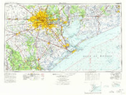
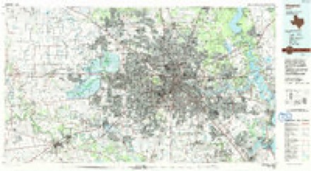
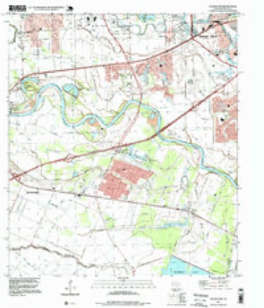
11 topographic sheets cover this place, the earliest surveyed in 1950 and the latest in 1995. It stands in the Rosenberg-Richmond census division. It lies in ZIP code area 77469. The Survey maps it on the Sugar Land quadrangle. It stands 85 feet above sea level.
Topographic sheets covering this place
7 surveys from 11 printed sheetsMatched by testing this settlement's coordinate against the published boundary of every sheet in the United States Geological Survey's historical collection. Each opens the scanned sheet at the Survey.
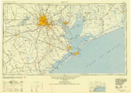
- 1950 USGS Houston quadrangle1:250000
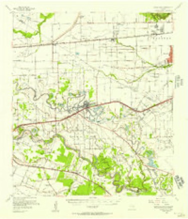
- 1955 USGS Sugar Land quadrangle1:62500
- 1956 USGS Houston quadrangle1:250000, 2 printings
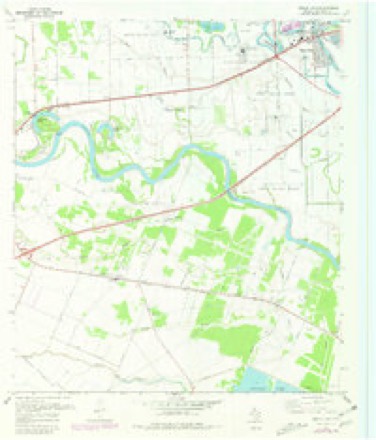
- 1970 USGS Sugar Land quadrangle1:24000, 3 printings
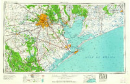
- 1975 USGS Houston quadrangle1:250000, 2 printings
- 1992 USGS Houston quadrangle1:100000
- 1995 USGS Sugar Land quadrangle1:24000
Fires near this place
12 since 2006Regional context, not property-specific evidence. The federal wildfire occurrence database lists 12 fires within 5 miles of Crabb between 2006 and 2020, burning about 30 acres in total. 1 started naturally. 1 was recorded as arson. Distance is straight-line from the map coordinates, so a fire counted here may appear on a neighbouring settlement's page as well.
| Reported cause | Fires |
|---|---|
| Debris and open burning | 6 |
| Missing data/not specified/undetermined | 4 |
| Natural | 1 |
| Arson/incendiarism | 1 |
The most recent of them, most recent first, with the day each was reported and the service that recorded it.
| Date | Cause | Size | Reported by | Name on the report |
|---|---|---|---|---|
| 11 September 2011 | Arson/incendiarism | 5.0 acres | Texas A & M Forest Service | CLAY ST |
| 2 August 2015 | Debris and open burning | 2.0 acres | Texas A & M Forest Service | WILDLAND/GRASS FIRE |
| 15 August 2011 | Missing data/not specified/undetermined | 3.0 acres | Texas A & M Forest Service | GRASS FIRE |
| 6 June 2011 | Natural | 10 acres | Texas A & M Forest Service | GRASS FIRE |
| 6 June 2006 | Missing data/not specified/undetermined | 1.0 acres | Texas A & M Forest Service | not named |
| 29 June 2013 | Debris and open burning | 5.0 acres | Texas A & M Forest Service | 715 SECR 1190 |
| 13 March 2020 | Debris and open burning | 1.0 acres | Texas A & M Forest Service | KOEBLEN RD |
| 12 March 2020 | Debris and open burning | 1.0 acres | Texas A & M Forest Service | KOEBLEN RD |
Settlements close enough to share some of these fires:
Mines and quarries near this place
6 within 5 milesRegional context, not property-specific evidence. The federal mineral resources record lists 6 workings within 5 miles of Crabb: 5 past producers, 1 producer. 1 still produces. What was taken out: Sand and Gravel, Construction, Sulfur. Distance is straight-line from the map coordinates, so a quarry counted here may appear on a neighbouring settlement's page as well.
| Where | Site | Commodity | Status | Recorded |
|---|---|---|---|---|
| Long Point Dome | Sulfur | Past Producer | 1924, 1930 | |
| Unknown | Sand and Gravel, Construction | Past Producer | ||
| Unknown | Sand and Gravel, Construction | Past Producer | ||
| Unknown | Sand and Gravel, Construction | Past Producer | ||
| Unknown | Sand and Gravel, Construction | Past Producer | ||
| Unnamed Pit | Sand and Gravel, Construction | Producer | Gravel, Sand |
Storms near this place
8 since 2013Regional context, not property-specific evidence. The National Weather Service names Crabb in 8 storm reports between 2013 and 2024: 3 hail, 2 lightning, 2 tornado, 1 thunderstorm wind. No death or injury is recorded in these reports. Each account below is quoted exactly as the forecast office filed it, from the NOAA Storm Events Database, and each date opens the federal record of that event.
| When | Event | Place named | Harm | What the report says |
|---|---|---|---|---|
| February 2017 | Tornado (EF2) | Crabb | $1,000,000 | This EF-2 tornado's damage path began in the southern portion of Brazos Village on the north side of FM 762 where roofs suffered minor damage and fences were blown down. The path continued east southeastward across FM 762 with more significant damage in the northern portion of Bridlewood Estates. A large abandoned grain dryer was severely damaged and several large metal silos were completely destroyed. One house on the southeast side of the silos had sections of the roof completely removed on both the north and south facing sides. The tornado continued on an east southeast track across the subdivision. The most severe damage was to a large anchored garage which was completely destroyed with debris pushed off to the south southeast. A pickup truck in the driveway was moved and a car inside the garage was lifted and ended up on top of the debris pile. The house directly across the street suffered damage as the front porch and associated supports shifted with the anchored porch columns pushed inward toward the house. Windows were blown out and a wrought iron metal fence concreted into the ground was heavily damaged. Several other roofs in this stretch were damaged along with many fences and trees downed. Aerial drone footage showed well defined path but nonuniform damage. Eyewitnesses from just north of the grain dryer saw strong west to east winds ripping apart the structure but noted winds from north to south when looking west suggesting a large circulation. All features were rain wrapped. Estimated peak winds were 115 mph. |
| February 2017 | Tornado (EF0) | Crabb | $500,000 | This EF-0 tornado touched down on the west side of Crabb River Road about a mile north of FM 762 and then crossed Crabb River Road into the Tara subdivision where several homes suffered roof, fence and tree damage. Spotty roof and tree damage continued generally eastward across the entire subdivision and into the western section of Greatwood in a well defined path. Security footage from nearby Valasquez Elementary showed very strong shifting winds near the tornado. A police officer experienced very strong winds from the west, then the passage of the small tornado south of the school suggesting perhaps a satellite tornado on the southern flank of the larger circulation may have been responsible for the more significant damage. Estimated peak winds were 80 mph. |
| August 2016 | Lightning | Crabb | $80,000 | Lightning struck a home that caused a fire that extensively damaged a residential home. |
| May 2013 | Lightning | Crabb | $15,000 | Lightning struck a car and set it ablaze at the intersection of Williams Way Blvd. and Highway 59. |
| June 2019 | Thunderstorm Wind | Crabb | $7,100 | Power lines were downed on FM 2977. |
| March 2024 | Hail | Crabb | - | Local media measured quarter-sized hail in the Richmond area. |
| May 2017 | Hail | Crabb | - | Golf ball size hail was reported. |
| April 2015 | Hail | Crabb | - | Golf ball sized hail reported near the intersection of US Highway 59 and FM 762. |
Nearest settlements
The eight closest, with where each one stands in the county. Distances are straight-line, computed from the Geographic Names Information System coordinates.
| Map | Place | Distance | Sheets |
|---|---|---|---|
| Bridlewood Estates | 0.5 miles | 11 | |
| Rabbs Hill | 1.2 miles | 11 | |
| Greatwood Village | 1.2 miles | 11 | |
| Greatwood Trails | 2.0 miles | 11 | |
| Greatwood | 2.1 miles | 11 | |
| Booth | 3.2 miles | 11 | |
| Richmond | 4.1 miles | 9 | |
| New Territory | 4.2 miles | 11 |
Elsewhere
Matched on this settlement's Geographic Names Information System number rather than its name, so it cannot be a different place of the same name in another state.
| Wikipedia article on Crabb | An encyclopaedic summary. Its text is share-alike, so it is linked here rather than copied. |
| Wikidata item Q5180255 | The structured record the population and elevation above come from. Public domain (CC0). |
Provenance
This settlement is recorded in the Geographic Names Information System as feature 1378175. The sheet list is computed by point-in-boundary test against the United States Geological Survey's historical topographic inventory. Both are works of the United States government and carry no copyright under 17 U.S.C. 105.
Wildfire. Short, Karen C. 2022. Spatial wildfire occurrence data for the United States, 1992-2020 [FPA_FOD_20221014]. 6th Edition. Fort Collins, CO: Forest Service Research Data Archive. https://doi.org/10.2737/RDS-2013-0009.6 Collected with United States Government funding and usable without additional permissions or fees.
Mines and quarries. USGS Mineral Resources Data System (MRDS) https://mrdata.usgs.gov/mrds/ A work of the United States government, no copyright under 17 U.S.C. 105.
Storms. NOAA National Centers for Environmental Information, Storm Events Database https://www.ncei.noaa.gov/stormevents/ A work of the United States government, no copyright under 17 U.S.C. 105. Narratives are quoted verbatim from the National Weather Service report and are not edited or summarised.