 Block
BlockCypress, Texas
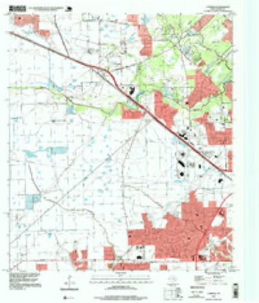
16 topographic sheets cover this place, the earliest surveyed in 1915 and the latest in 1995. It stands in the Northwest Harris census division. It lies in ZIP code area 77429. It stands on Dry Creek. The Survey maps it on the Cypress quadrangle. It stands 151 feet above sea level.
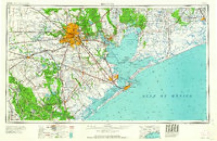
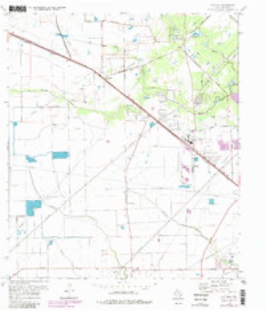
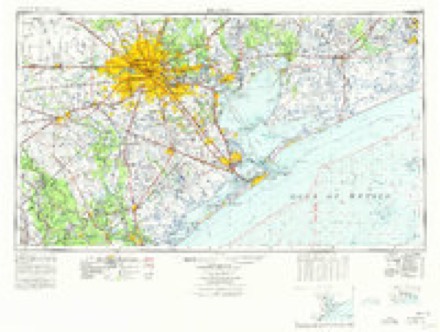
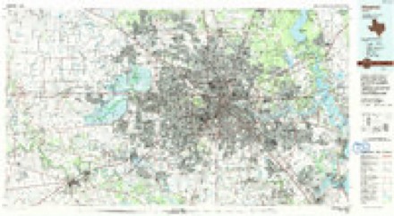
Topographic sheets covering this place
9 surveys from 16 printed sheetsMatched by testing this settlement's coordinate against the published boundary of every sheet in the United States Geological Survey's historical collection. Each opens the scanned sheet at the Survey.
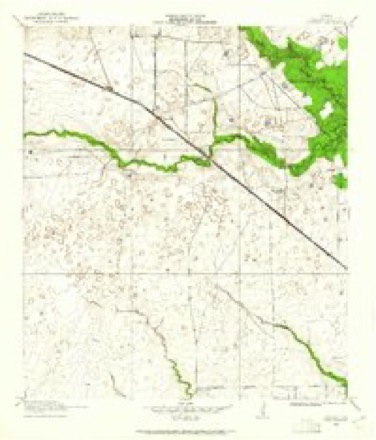
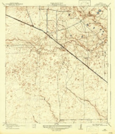
- 1915 USGS Cypress quadrangle1:24000, 3 printings
- 1918 USGS Cypress quadrangle1:31680, 2 printings
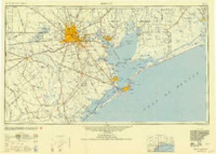
- 1950 USGS Houston quadrangle1:250000
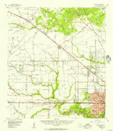
- 1955 USGS Addicks quadrangle1:62500
- 1956 USGS Houston quadrangle1:250000, 2 printings
- 1970 USGS Cypress quadrangle1:24000, 3 printings
- 1975 USGS Houston quadrangle1:250000, 2 printings
- 1992 USGS Houston quadrangle1:100000
- 1995 USGS Cypress quadrangle1:24000
Fires near this place
1 since 2011Regional context, not property-specific evidence. The federal wildfire occurrence database lists 1 fire within 5 miles of Cypress in 2011, burning about 4 acres in total. None started naturally. None was recorded as arson. Distance is straight-line from the map coordinates, so a fire counted here may appear on a neighbouring settlement's page as well.
| Reported cause | Fires |
|---|---|
| Misuse of fire by a minor | 1 |
The most recent of them, most recent first, with the day each was reported and the service that recorded it.
| Date | Cause | Size | Reported by | Name on the report |
|---|---|---|---|---|
| 5 June 2011 | Misuse of fire by a minor | 4.0 acres | Livingston Area | PLEASANT GROVE FIRE |
Settlements close enough to share some of these fires:
Storms near this place
41 since 1995Regional context, not property-specific evidence. The National Weather Service names Cypress in 41 storm reports between 1995 and 2025: 16 thunderstorm wind, 10 hail, 8 tornado, 4 flash flood. No death or injury is recorded in these reports. Each account below is quoted exactly as the forecast office filed it, from the NOAA Storm Events Database, and each date opens the federal record of that event.
| When | Event | Place named | Harm | What the report says |
|---|---|---|---|---|
| May 2024 | Tornado (EF1) | Cypress | $750,000 | Damage path constructed for photos and videos from residents and broadcast media. Rated high end EF1 based on severe damage to 3 houses on NW side of track. |
| May 2024 | Tornado (EF1) | Cypress | $500,000 | This tornado touched down near the intersection of Tuckerton and Greenhouse Roads then tracked southeastward through Highlands subdivision. Numerous single family homes had roof damage and broken windows. The damage path was well defined. Additional damage was found across Lone Star College Campus and CyFair ISD facility. |
| May 2024 | Thunderstorm Wind | Cypress | $300,000 | Large transmission lines were downed by strong thunderstorm winds as the derecho moved through the area. |
| April 1996 | Tornado (F0) | Cypress | $40,000 | no account filed |
| August 2017 | Tornado (EF0) | Cypress | $30,000 | A second tornado spotted near Hwy 290 and Barker Cypress. |
| September 2014 | Flash Flood | Cypress | $25,000 | Numerous locations from the Cypress area to the Sugar Land area to the Houston area were flooded, including the corner of Westheimer Road and Fountain View Drive, George Bush State Park in the Cinco Ranch area, the Cypress area, the left exit lane of 610 South Loop West, parts of Eldridge Parkway, portions of Hidalgo Street near the Galleria area, parts of the Fairwood subdivision, the intersection of Bering Drive and Richmond Avenue, the Interstate 610 East Loop and Clinton Drive, Old Katy Road near the Hillshire Village area, and the 13600 block of FM 1092 near Stafford. The heavy rainfall did cause an old oak tree to collapse in Hunters Creek Village. |
| October 2005 | Thunderstorm Wind | Cypress | $25,000 | A four-story clock tower blown down. |
| March 1999 | Tornado (F0) | Cypress | $25,000 | Tornado in Cypress. Roof damage, trees uprooted and fences blown down |
| October 1998 | Tornado (F0) | Cypress | $25,000 | Minor structural damage and trees down. |
| May 2007 | Flash Flood | Cypress | $15,000 | Flooded and impassable roads in and around Jones Road and Grant Road. |
| March 1999 | Hail | Cypress | $15,000 | no account filed |
| March 2001 | Hail | Cypress | $10,000 | no account filed |
| June 2008 | Thunderstorm Wind | Cypress | $8,000 | Thunderstorm winds downed a fence and damaged a gazebo near the intersection of Highway 6 and Clay Road. |
| November 2004 | Thunderstorm Wind | Cypress | $7,500 | Trees and power lines down at the intersection of FM 529 and Highway 6. |
| April 2015 | Thunderstorm Wind | Cypress | $7,000 | Thunderstorm winds downed trees in the Cypress area. |
| August 2021 | Tornado (EF0) | Cypress | $5,000 | Law enforcement and multiple spotters reported five power poles were downed by a brief EF0 landspout tornado. |
| February 2005 | Hail | Cypress | $5,000 | Quarter size hail. |
| June 2001 | Hail | Cypress | $5,000 | Dime size hail at U.S. Highway 290. |
| May 1997 | Thunderstorm Wind | Cypress | $5,000 | Trees blown down at FM 1960 & HWY 249 |
| May 1997 | Thunderstorm Wind | Cypress | $5,000 | 16 foot oak tree uprooted, pine tree snapped 20 feet up near Jones Rd and HWY 249 |
| June 1995 | Thunderstorm Wind | Cypress | $5,000 | Roof blown off car dealership. |
| May 2001 | Hail | Cypress | $5,000 | no account filed |
| May 1996 | Thunderstorm Wind | Cypress | $5,000 | no account filed |
| July 1998 | Thunderstorm Wind | Cypress | $3,000 | Wind damage to structures at FM 1960 & U.S. 290. |
| June 2023 | Thunderstorm Wind | Cypress | $2,000 | There were downed power lines, trees and fences near the US 290 and Barker Cypress Road intersection. |
| May 2004 | Hail | Cypress | $2,000 | 3/4 inch hail in Cypress or 8 miles SSW of Tomball. |
| November 2025 | Tornado (EF1) | Cypress | - | NWS storm survey teams investigated an areas of damage across the Riata Ranch area in northwest Harris County after a tornadic storm moved through the area. Survey teams concluded that the tornado initially formed just south of Tuckerton Rd and a tad west of Towne Lake Pkwy. It then proceeded north into nearby neighborhoods. Majority of the damage found was EF-0, but a section of EF-1 damage was found along Lake Riata Ln and Barker Grove Ln. High end EF-1 Damage was found with a small portion of plywood decking removed from a roof in this same area. This was the strongest damage indicator (FR12 DOD2) with max winds for the tornado estimated at 105 mph. Survey teams concluded that the tornado weakened afterwards as it moved northeast, then dissipated south of US-290, which matches a public report of a funnel cloud at US-290 during the event. |
| May 2024 | Thunderstorm Wind | Cypress | - | Wind gust occurred at a Cypress area WeatherFlow site. |
| May 2024 | Thunderstorm Wind | Cypress | - | Wind gust occurred at mesonet station CW9236 Cypress. |
| April 2024 | Thunderstorm Wind | Cypress | - | Trees were downed in the Cypress Mill Park subdivision. |
| December 2024 | Hail | Cypress | - | A member of the public reported 1.5 inch hail in southwest Cypress. |
| December 2024 | Hail | Cypress | - | Hail of 1 inch to 1.25 inches was reported near Cypress, TX. Reports received via social media. |
| January 2023 | Funnel Cloud | Cypress | - | A funnel cloud associated with a tornado-warned cell was observed by a member of the public looking northwest from Goforth Park in Harris County. Location was approximated by video posted to social media. |
| May 2019 | Hail | Cypress | - | Half dollar sized hail was reported. |
| August 2017 | Flash Flood | Cypress | - | Flash flooding was reported in and around the town of Cypress. |
| June 2007 | Thunderstorm Wind | Cypress | - | Fences blown down. |
| May 2007 | Flash Flood | Cypress | - | Metro traffic reported several cars underwater at Old Greenhouse Road and Kieth Harrow Boulevard near Bear Creek. |
| July 2004 | Funnel Cloud | Cypress | - | Funnel cloud spotted at Highway 6 and Highway 290. |
| May 1997 | Thunderstorm Wind | Cypress | - | Spotter report of 60 mph gusts at HWY 290 & Tookey Rd. |
| June 2007 | Hail | Cypress | - | no account filed |
| July 2004 | Funnel Cloud | Cypress | - | no account filed |
Nearest settlements
The eight closest, with where each one stands in the county. Distances are straight-line, computed from the Geographic Names Information System coordinates.
| Map | Place | Distance | Sheets |
|---|---|---|---|
| Hot Wells | 1.2 miles | 16 | |
| Cypress Point | 1.6 miles | 16 | |
| Inwood Park | 2.4 miles | 16 | |
| Enchanted Valley | 2.8 miles | 16 | |
| Chappell Ridge | 3.1 miles | 16 | |
| Ravensway South | 4.0 miles | 16 | |
| Bonaire | 4.1 miles | 16 | |
| Sabacen Park | 4.1 miles | 16 |
Elsewhere
Matched on this settlement's Geographic Names Information System number rather than its name, so it cannot be a different place of the same name in another state.
| Wikipedia article on Cypress | An encyclopaedic summary. Its text is share-alike, so it is linked here rather than copied. |
| Wikidata item Q36379 | The structured record the population and elevation above come from. Public domain (CC0). |
Provenance
This settlement is recorded in the Geographic Names Information System as feature 1355512. The sheet list is computed by point-in-boundary test against the United States Geological Survey's historical topographic inventory. Both are works of the United States government and carry no copyright under 17 U.S.C. 105.
Wildfire. Short, Karen C. 2022. Spatial wildfire occurrence data for the United States, 1992-2020 [FPA_FOD_20221014]. 6th Edition. Fort Collins, CO: Forest Service Research Data Archive. https://doi.org/10.2737/RDS-2013-0009.6 Collected with United States Government funding and usable without additional permissions or fees.
Storms. NOAA National Centers for Environmental Information, Storm Events Database https://www.ncei.noaa.gov/stormevents/ A work of the United States government, no copyright under 17 U.S.C. 105. Narratives are quoted verbatim from the National Weather Service report and are not edited or summarised.