 Block
BlockDonna, Texas
16 topographic sheets cover this place, the earliest surveyed in 1914 and the latest in 1992. It stands in the Southeast Hidalgo census division. It lies in ZIP code area 78537. The Survey maps it on the Donna quadrangle. 16,797 people lived here at the 2020 count. It stands 92 feet above sea level.
Population over time
2 figuresDonna grew from 15,798 to 16,797 between 2010 and 2020. These are the recorded population figures Wikidata holds for this place, reached through the Geographic Names Information System number this page is keyed on rather than by name, so they belong to this place and not to another of the same name. Most are census counts, but not all are: an early figure may be a founding or settlement estimate, and an estimate published within five years of a census is left out. The change column is computed, and is left blank where more than 20 years separate a figure from the one before it, because a gap that long is not a change between two counts.
| Year | People | Change |
|---|---|---|
| 2010 | 15,798 | |
| 2020 | 16,797 | +999 (+6%) |
Topographic sheets covering this place
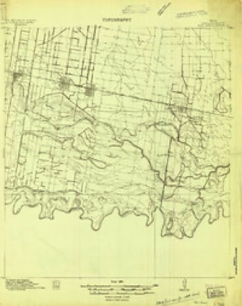
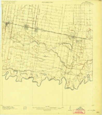
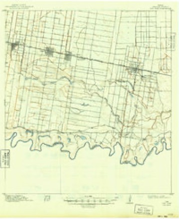
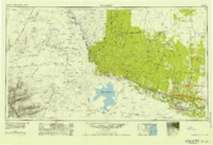
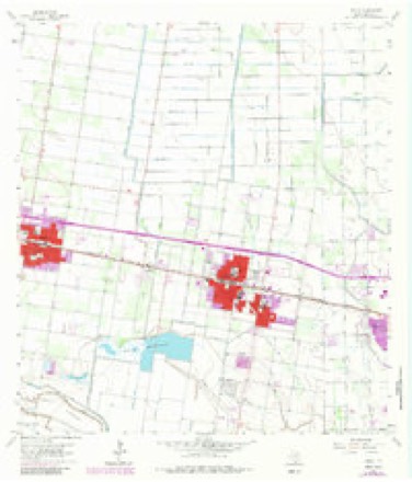
10 surveys from 16 printed sheetsMatched by testing this settlement's coordinate against the published boundary of every sheet in the United States Geological Survey's historical collection. Each opens the scanned sheet at the Survey.
- 1914 USGS San Juan quadrangle1:48000
- 1914 USGS San Juan quadrangle1:62500
- 1916 USGS San Juan quadrangle1:62500, 3 printings
- 1949 USGS Mc Allen quadrangle1:250000
- 1954 USGS McAllen quadrangle1:250000
- 1957 USGS Mc Allen quadrangle1:250000, 2 printings
- 1962 USGS McAllen quadrangle1:250000
- 1963 USGS Donna quadrangle1:24000, 4 printings
- 1983 USGS Mc Allen quadrangle1:250000
- 1992 USGS Mc Allen quadrangle1:100000
Fires near this place
720 since 2003Regional context, not property-specific evidence. The federal wildfire occurrence database lists 720 fires within 5 miles of Donna between 2003 and 2018, burning about 1,344 acres in total. 1 started naturally. 5 were recorded as arson. Distance is straight-line from the map coordinates, so a fire counted here may appear on a neighbouring settlement's page as well.
| Reported cause | Fires |
|---|---|
| Debris and open burning | 682 |
| Power generation/transmission/distribution | 17 |
| Missing data/not specified/undetermined | 12 |
| Arson/incendiarism | 5 |
| Natural | 1 |
| Railroad operations and maintenance | 1 |
| Equipment and vehicle use | 1 |
| Misuse of fire by a minor | 1 |
The most recent of them, most recent first, with the day each was reported and the service that recorded it.
| Date | Cause | Size | Reported by | Name on the report |
|---|---|---|---|---|
| 8 September 2010 | Debris and open burning | 1.0 acres | Texas A & M Forest Service | 10-728 |
| 7 September 2006 | Debris and open burning | 1.0 acres | Texas A & M Forest Service | not named |
| 5 September 2009 | Debris and open burning | 1.0 acres | Texas A & M Forest Service | 09-671 |
| 4 September 2017 | Debris and open burning | 1.0 acres | Texas A & M Forest Service | TRASH FIRE |
| 4 September 2011 | Debris and open burning | 1.0 acres | Texas A & M Forest Service | 11-656 |
| 4 September 2005 | Debris and open burning | 1.0 acres | Texas A & M Forest Service | not named |
| 3 September 2017 | Debris and open burning | 1.0 acres | Texas A & M Forest Service | TRASH FIRE |
| 3 September 2012 | Debris and open burning | 1.0 acres | Texas A & M Forest Service | GRASS FIRE |
Settlements close enough to share some of these fires:
Storms near this place
22 since 1999Regional context, not property-specific evidence. The National Weather Service names Donna in 22 storm reports between 1999 and 2025: 7 thunderstorm wind, 6 hail, 4 flash flood, 2 flood. No death or injury is recorded in these reports. Each account below is quoted exactly as the forecast office filed it, from the NOAA Storm Events Database, and each date opens the federal record of that event.
| When | Event | Place named | Harm | What the report says |
|---|---|---|---|---|
| June 2018 | Flash Flood | Donna | $25,000,000 | Heavy rainfall measured and estimated between 7 and 18 inches in a 3 to 5 hour period produced locally devastating flooding in Weslaco and Mercedes, just north of the expressway. Measured rainfall at the Weslaco Cooperative station was 15.57 inches for the event, with 11.36 of it falling in a three hour period generally between 3 AM CST and 6 AM CST. Radar estimates suggested higher amounts at the Las Brisas and other neighborhoods in northeast Weslaco, where nearly all homes had 18 inches of water depth or higher inside. ||The rain flooded (at least 18 inches) 2500 homes in Weslaco, with an unknown number (but likely in the 1,000 range) in next-door Mercedes. Video, photograph, and first response/law enforcement evidence showed widespread 2 to 4 feet of water depth, with a few poorly draining areas in east Weslaco and Mercedes of at least 5 feet of water depth. An unknown number of vehicles were flooded throughout the area, and the Interstate 2 frontage road was closed through most of the morning. Eighty-six of the eighty-nine school buses in the Weslaco Independent School District sustained significant flood damage. ||Publicly reported damage was estimated to be at least $12.5 million; standard doubling estimated the damage at $25 million though in reality, values could be much higher due to poor measurement due to the volume of uninsured properties that were impacted. The rainfall in the east/north side of Weslaco was the highest on record (since 1910) for a single event, besting the Labor Day 1933 Hurricane (15 inches). |
| April 2023 | Thunderstorm Wind | Donna | $150,000 | An NWS Storm Survey found damage to a large, corrugated light steel fence that was blown down along S FM493 a few miles south of Donna. There were several other areas of damage between there and the intersection of Calle Santiago and Creager Road. That damage included a low masonry wall of about 4 feet in height blown over at intersection of Midway Road and W 34th St; and several buildings, including homes, with partial loss of the roof of vinyl/metal siding along S Texas Blvd on the west side of Progreso. |
| April 2015 | Thunderstorm Wind | Donna | $100,000 | Microburst winds of 70 to 80 mph caused a large swath of damage across the Weslaco area. A newly constructed metal building had awning lifted, which helped tear off the front wall, the garage door was also blown in. Numerous softwood trees were blown down, some of which landed on homes, there were also numerous broken tree branches, power poles and lines were down as well. The winds rolled a poorly constructed and poorly anchored mobile home. Shingles were removed from the southwest side of one home and a wooden fence was blown down. One highway sign was reported to have been blown out of the ground along Highway 83. A metal pergola was destroyed on the southwest side of Weslaco. |
| June 2010 | Thunderstorm Wind | Donna | $75,000 | A microburst tore through a colonia (migrant community) between Donna and Alamo, causing significant damage to mainly mobile homes and other unanchored structures. Two mobile homes were completely destroyed, and one under construction wood framed home collapsed. One outbuilding overturned. A third mobile home lost its roof. Each of the destroyed mobile homes were older and had questionable structural integrity. One of the homes rolled and was not secured properly. The other had a residential addition, which was destroyed.||In the tipped over home, a mother, three children, and an infant were inside but fortunately were left uninjured. Photographs showed most small trees remained standing, as were nearby single family homes. Estimates from damage photos, media coverage, and emergency management quick response surveys suggested a pulse gust between 65 and 70 mph caused the damage.||Slightly lower winds knocked down several trees in nearby Alamo. |
| May 2021 | Thunderstorm Wind | Donna | $23,000 | At least a half dozen manufactured homes sustained|damage, mainly from peeled-back or blown off tin roofs, and car ports|knocked down, in portions of Donna and Weslaco along and near the |Interstate 2 corridor. One home slid off its foundation midway between|the cities. Several mesquite and ash trees were uprooted,|split, or lost large limbs. One uprooted large tree damaged a car|in Donna. Several parts of fences were blown down, and unanchored road|signs were also blown down. |
| June 2025 | Thunderstorm Wind | Donna | $15,000 | Video (via Facebook) showing numerous homes and structures with minor damage in south Donna. A stop sign was reported to be blown over. |
| June 2010 | Flash Flood | Donna | $15,000 | Several roads were under 2 to 3 feet of water from Donna to Alamo during the late afternoon commute after torrential downpours from nearly stationary strong to severe thunderstorms dropped an estimated 4 to 6 inches of rain in 2 hours or less. Photographs verified the high water, including some where water was encroaching on property in both areas. |
| August 1999 | Flash Flood | Donna | $2,000 | Local street and lowland flooding from brief very heavy rains. |
| October 2012 | Thunderstorm Wind | Donna | $1,000 | Internet report of a large-diameter tree blown down by thunderstorm winds near the intersection of North Victoria and Mile 10 Road, just north of Donna. Radar reconciliation suggest the winds fell just below severe limits. |
| November 2008 | Hail | Donna | $1,000 | A severe thunderstorm with a pronounced hail core rolled through the Donna-Alamo area during the mid morning, dropping large hail in several areas. Nickel size hail fell along the federal highway 83 expressway in Donna, shattering at least one automobile windshield. Penny size hail fell a bit later in and near Alamo. In addition to the hail, 2.2 inches of rain fell near the Alamo Country Club in a short period of time, probably less than an hour.||The parent left-moving thunderstorm began across the Rio Grande in northern Mexico a little before 7 AM CST, and moved into extreme southern Hidalgo County near the Santa Ana National Wildlife Refuge around 730 AM. Large hail may well have occurred along this portion of the path, as well as northwest of Donna toward Edinburg, between 830 and 9 AM. |
| May 2025 | Hail | Donna | - | A trained spotter reported golf ball size hail just northeast of Donna, TX. |
| August 2024 | Tornado (EFU) | Donna | - | A landspout was reported in Donna. Image was shared on Slack/NWS Chat 2.0. Timing was based off their observation along with radar. |
| April 2023 | Hail | Donna | - | Member of the public reported half dollar (1.25) sized hail in and around the Donna area. |
| June 2021 | Flood | Donna | - | Reports received of minor street flooding in Donna near Salinas Road, just southwest of Donna High School. |
| June 2020 | Flood | Donna | - | There was a video of the frontage road off of Interstate-2 in Donna flooded with water as high as the top of the wheel well on multiple vehicles including SUVs. One of the vehicles might have been stalled out. |
| August 2014 | Hail | Donna | - | Dime to penny size hail was reported between Donna and Alamo. |
| June 2010 | Hail | Donna | - | Hail up to one inch in diameter fell south of Old 83 Highway south of Donna during a thunderstorm that moved through the Donna area in the afternoon. |
| June 2010 | Funnel Cloud | Donna | - | A persistent funnel cloud was viewed by two local residents in the Weslaco/Donna area during the early evening of June 7th. A resident in Donna reported a funnel on the south side of town reaching halfway to the ground at 420 PM CST. Another resident on the southwest side of Weslaco viewed another funnel, possibly from the same parent storm, 12 minutes later southwest of the intersection of Hopper Road and 34th Street on the southwest side of town. The second funnel lasted only a minute. Touchdowns were not witnessed in either case. |
| May 2009 | Hail | Donna | - | A trained spotter reported nickel size hail fell in Donna during a thunderstorm that moved through Hidalgo County. |
| September 2008 | Heavy Rain | Donna | - | A band of torrential rains moved slowly through populated areas of southeastern Hidalgo County during the middle of the Monday morning commute, likely producing high standing water and minor flooding of poor drainage areas along and just south of Federal Highway 83 between Donna and Mercedes. CoCoRaHS and Cooperative observations showed between 1 and 2 inches a bit west of the core of the heaviest rainfall. |
| September 2006 | Flash Flood | Donna | - | Flash flooding reported along Business Highway 83 between Main Street and Highway 493. |
| May 2002 | Thunderstorm Wind | Donna | - | Law Enforcement Officials reported several power poles and lines down |
Nearest settlements
The eight closest, with where each one stands in the county. Distances are straight-line, computed from the Geographic Names Information System coordinates.
| Map | Place | Distance | Sheets |
|---|---|---|---|
| Lunar Heights Colonia | 1.0 miles | 16 | |
| Balli Colonia Number 1 | 1.0 miles | 16 | |
| Panfilo Martinez Colonia | 1.0 miles | 16 | |
| Villa Donna Colonia | 1.1 miles | 16 | |
| Benita Addition Colonia | 1.2 miles | 16 | |
| Victoria Belen Colonia | 1.3 miles | 16 | |
| Quiet Village Number 2 Colonia | 1.4 miles | 16 | |
| Balli Number 2 Colonia | 1.5 miles | 16 |
Elsewhere
Matched on this settlement's Geographic Names Information System number rather than its name, so it cannot be a different place of the same name in another state.
| Wikipedia article on Donna | An encyclopaedic summary. Its text is share-alike, so it is linked here rather than copied. |
| Wikidata item Q976983 | The structured record the population and elevation above come from. Public domain (CC0). |
Provenance
This settlement is recorded in the Geographic Names Information System as feature 1334485. The sheet list is computed by point-in-boundary test against the United States Geological Survey's historical topographic inventory. Both are works of the United States government and carry no copyright under 17 U.S.C. 105.
Wildfire. Short, Karen C. 2022. Spatial wildfire occurrence data for the United States, 1992-2020 [FPA_FOD_20221014]. 6th Edition. Fort Collins, CO: Forest Service Research Data Archive. https://doi.org/10.2737/RDS-2013-0009.6 Collected with United States Government funding and usable without additional permissions or fees.
Storms. NOAA National Centers for Environmental Information, Storm Events Database https://www.ncei.noaa.gov/stormevents/ A work of the United States government, no copyright under 17 U.S.C. 105. Narratives are quoted verbatim from the National Weather Service report and are not edited or summarised.