 Block
BlockHaltom City, Texas
18 topographic sheets cover this place, the earliest surveyed in 1894 and the latest in 1995. It stands in the Northeast Tarrant census division. It lies in ZIP code area 76117. The Survey maps it on the Haltom City quadrangle. 46,073 people lived here at the 2020 count. It stands 535 feet above sea level.
Population over time
2 figuresHaltom City grew from 42,409 to 46,073 between 2010 and 2020. These are the recorded population figures Wikidata holds for this place, reached through the Geographic Names Information System number this page is keyed on rather than by name, so they belong to this place and not to another of the same name. Most are census counts, but not all are: an early figure may be a founding or settlement estimate, and an estimate published within five years of a census is left out. The change column is computed, and is left blank where more than 20 years separate a figure from the one before it, because a gap that long is not a change between two counts.
| Year | People | Change |
|---|---|---|
| 2010 | 42,409 | |
| 2020 | 46,073 | +3,664 (+9%) |
Topographic sheets covering this place
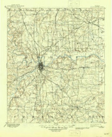
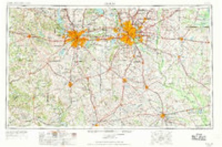
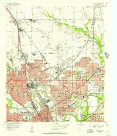
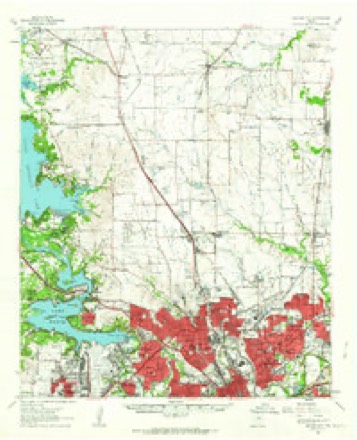
7 surveys from 18 printed sheetsMatched by testing this settlement's coordinate against the published boundary of every sheet in the United States Geological Survey's historical collection. Each opens the scanned sheet at the Survey.
- 1894 USGS Fort Worth quadrangle1:125000, 3 printings
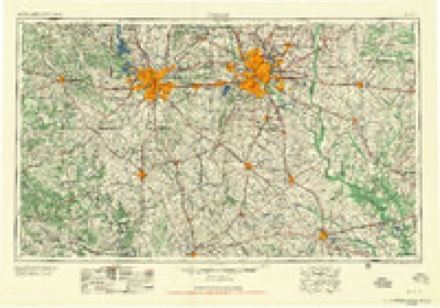
- 1954 USGS Dallas quadrangle1:250000, 4 printings
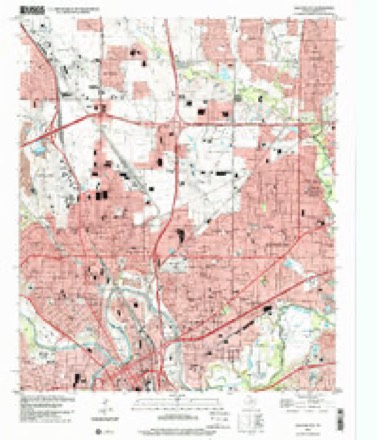
- 1955 USGS Haltom City quadrangle1:24000, 6 printings
- 1955 USGS Haltom City quadrangle1:62500
- 1958 USGS Dallas quadrangle1:250000
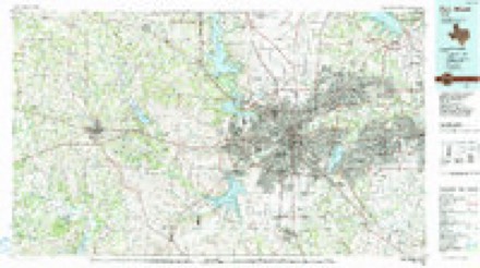
- 1985 USGS Fort Worth quadrangle1:100000, 2 printings
- 1995 USGS Haltom City quadrangle1:24000
Fires near this place
406 since 2006Regional context, not property-specific evidence. The federal wildfire occurrence database lists 406 fires within 5 miles of Haltom City between 2006 and 2020, burning about 2,374 acres in total. 1 started naturally. 2 were recorded as arson. Distance is straight-line from the map coordinates, so a fire counted here may appear on a neighbouring settlement's page as well.
| Reported cause | Fires |
|---|---|
| Missing data/not specified/undetermined | 366 |
| Power generation/transmission/distribution | 10 |
| Recreation and ceremony | 8 |
| Equipment and vehicle use | 5 |
| Railroad operations and maintenance | 5 |
| Smoking | 4 |
| Misuse of fire by a minor | 3 |
| Arson/incendiarism | 2 |
| Debris and open burning | 2 |
| Natural | 1 |
The most recent of them, most recent first, with the day each was reported and the service that recorded it.
| Date | Cause | Size | Reported by | Name on the report |
|---|---|---|---|---|
| 9 September 2019 | Missing data/not specified/undetermined | under an acre | Texas A & M Forest Service | OAKHURST SCENIC |
| 7 September 2020 | Missing data/not specified/undetermined | under an acre | Texas A & M Forest Service | HANDLEY |
| 6 September 2019 | Missing data/not specified/undetermined | under an acre | Texas A & M Forest Service | AIRPORT FREEWAY |
| 6 September 2015 | Missing data/not specified/undetermined | under an acre | Texas A & M Forest Service | COLD SPRINGS |
| 6 September 2014 | Missing data/not specified/undetermined | under an acre | Texas A & M Forest Service | NE 23RD |
| 4 September 2016 | Missing data/not specified/undetermined | under an acre | Texas A & M Forest Service | EAST LOOP 820 |
| 30 September 2020 | Missing data/not specified/undetermined | under an acre | Texas A & M Forest Service | RETTA |
| 30 September 2016 | Missing data/not specified/undetermined | under an acre | Texas A & M Forest Service | AVE G |
Settlements close enough to share some of these fires:
Mines and quarries near this place
1 within 5 milesRegional context, not property-specific evidence. The federal mineral resources record lists 1 working within 5 miles of Haltom City: 1 producer. All of them still produce. What was taken out: Sand and Gravel, Construction. Distance is straight-line from the map coordinates, so a quarry counted here may appear on a neighbouring settlement's page as well.
| Where | Site | Commodity | Status | Recorded |
|---|---|---|---|---|
| Williams Sand and Gravel Midway Rd | Sand and Gravel, Construction | Producer |
Storms near this place
35 since 1997Regional context, not property-specific evidence. The National Weather Service names Haltom City in 35 storm reports between 1997 and 2025: 12 thunderstorm wind, 11 hail, 9 flash flood, 2 lightning. The reports record 1 death. Each account below is quoted exactly as the forecast office filed it, from the NOAA Storm Events Database, and each date opens the federal record of that event.
| When | Event | Place named | Harm | What the report says |
|---|---|---|---|---|
| June 2007 | Flash Flood | Haltom City | 1 killed, $30,000,000 | Torrential rain fell across the central and northern portions of the county, causing very significant flooding in some locations. Four-and-a-quarter inches of rain fell between midnight and 1:45 AM in Keller, where more than twenty homes suffered flood damage. A food bank in Keller also sustained significant damage. A foot-and-a-half of water was reported at the intersection of Highway 377 and Bear Creek Parkway. In Watauga, people were stranded on roofs as water rose very quickly. Several homes were damaged by floodwaters in Haltom City. Hundreds of high water rescues were required. Nine mobile homes were destroyed and ninety were damaged by floodwaters in Haltom City, and one girl drowned after her rescue boat capsized. Several fires were reported as the trailers were pushed from their electrical wires, and at least one trailer burned completely. Two people were hospitalized after their home caught on fire. The force of the water ripped up asphalt and pushed cars into each other. Seven baseball fields in Haltom City were destroyed. They were valued at $200,000. Water was also reported over Interstate 820 near North Richland Hills. |
| March 2025 | Thunderstorm Wind | Haltom City | $300,000 | Damage to several homes was reported in Haltom City, including the partial loss of roof decking. Multiple large trees were snapped around 5 feet from the ground, and one tree was uprooted. A damage survey found straight line wind damage consistent with 105 mph winds along Wathall Rd between Field St and 377. |
| April 1998 | Lightning | Haltom City | $270,000 | Lightning ignited a fire that destroyed two houses under construction and heavily damaged a third. |
| March 2025 | Thunderstorm Wind | Haltom City | $100,000 | A damage survey found straight line wind damage consistent with 90 mph winds in Haltom City north of 121 between Moneda St and Minnis Dr. Damage to trees and warehouses was observed including a cinderblock wall collapsed on one warehouse building, power poles were bent, and a large garage bay door was blown in at a warehouse. |
| April 2023 | Hail | Haltom City | $100,000 | A social media report indicated golf ball sized hail in Haltom City near Birdville Road. |
| June 2014 | Flash Flood | Haltom City | $75,000 | Significant urban flash flood occurred as 2-3 inches of rain in less than 2 hours fell over the western half of Tarrant County. Social media reports showed significant flooding near Hulen and Bryce Streets in Fort Worth. Some roads in downtown Fort Worth were impassable and blocked by the fire department. In the West 7th district, the water was reported to be several feet deep. Many vehicles were flooded or trapped in flood waters. More than 40 high water rescues were conducted in Fort Worth. |
| June 2003 | Lightning | Haltom City | $60,000 | A lightning started fire destroyed a house. |
| June 2019 | Thunderstorm Wind | Haltom City | $50,000 | Public reports indicated numerous trees down and homes/roofs damaged in Haltom City. |
| June 2002 | Thunderstorm Wind | Haltom City | $50,000 | Apartment complex on Baker Boulevard had roof peeled off, and veneer wall on north side of complex sustained major damage. Late model car in the parking lot had trunk lid peeled over top of car. |
| March 2025 | Thunderstorm Wind | Haltom City | $25,000 | A cinderblock wall was collapsed on a warehouse building, power poles were bent, and a large garage bay door was blown in at a warehouse. A damage survey determined the damage was the result of intense straightline winds around 90 mph. |
| April 2008 | Thunderstorm Wind | Haltom City | $25,000 | Power lines and poles, trees, and large branches were blown down. |
| August 2004 | Heavy Rain | Haltom City | $20,000 | Heavy rain caused part of the roof at State Fair Foods to collapse, suspending operations indefinitely. |
| April 2024 | Flash Flood | Haltom City | $10,000 | The City of Fort Worth reported several flooded roads from heavy rain: west Bonds Ranch Road, Randol Mill Rd, Waggley Robertson Road, Old Granbury Road, Golden Triangle at Alta Vista, Oak Grove Rd South, and NE 28th at Decatur Ave. |
| August 2003 | Thunderstorm Wind | Haltom City | $5,000 | Numerous power lines were blown down on Highway 121. |
| August 1998 | Thunderstorm Wind | Haltom City | $3,000 | Trees were blown down onto a car and a house. |
| June 2019 | Thunderstorm Wind | Haltom City | $2,000 | Part of the metal roof was torn off an election building on Premier Street in Fort Worth. |
| July 2021 | Thunderstorm Wind | Haltom City | - | A public report indicated tree damage in Haltom City, TX. |
| April 2020 | Hail | Haltom City | - | Hail report received via mPing. |
| April 2020 | Hail | Haltom City | - | Hail report received via mPing. |
| March 2019 | Hail | Haltom City | - | A social media report indicated quarter-sized hail in Haltom City, TX. |
| October 2019 | Thunderstorm Wind | Haltom City | - | A 63 MPH wind gust was measured at the National Weather Service Office in the north part of the city of Fort Worth, TX. |
| May 2007 | Flash Flood | Haltom City | - | Flooding reported over Belknap Street. |
| July 2004 | Flash Flood | Haltom City | - | A 16 year-old boy was rescued from high water in Big Fossil Creek. |
| April 2002 | Flash Flood | Haltom City | - | Two men were rescued from Fossil Creek, after their boat was flipped over by high water. |
| March 2002 | Flash Flood | Haltom City | - | At least 35 mobile homes in the Skyline Mobile Home Park had to be evacuated due to rising water in a nearby creek. |
| March 1998 | Flash Flood | Haltom City | - | Rising water during the early morning hours forced evacuation of several residences. |
| May 1997 | Flash Flood | Haltom City | - | Several roads were reported flooded by high water. |
| April 2020 | Hail | Haltom City | - | no account filed |
| October 2004 | Hail | Haltom City | - | no account filed |
| May 2003 | Hail | Haltom City | - | no account filed |
| May 2003 | Hail | Haltom City | - | no account filed |
| August 2002 | Thunderstorm Wind | Haltom City | - | no account filed |
| June 2001 | Hail | Haltom City | - | no account filed |
| May 1999 | Hail | Haltom City | - | no account filed |
| May 1999 | Hail | Haltom City | - | no account filed |
Nearest settlements
The eight closest, with where each one stands in the county. Distances are straight-line, computed from the Geographic Names Information System coordinates.
| Map | Place | Distance | Sheets |
|---|---|---|---|
| Richland Hills | 2.5 miles | 20 | |
| Melody Hills | 3.0 miles | 18 | |
| North Richland Hills | 3.2 miles | 20 | |
| Watauga | 4.1 miles | 18 | |
| Ederville | 4.2 miles | 20 | |
| Handley | 5.4 miles | 16 | |
| Blue Mound | 5.4 miles | 18 | |
| Hurst | 5.5 miles | 20 |
Elsewhere
Matched on this settlement's Geographic Names Information System number rather than its name, so it cannot be a different place of the same name in another state.
| Wikipedia article on Haltom City | An encyclopaedic summary. Its text is share-alike, so it is linked here rather than copied. |
| Wikidata item Q26500 | The structured record the population and elevation above come from. Public domain (CC0). |
Provenance
This settlement is recorded in the Geographic Names Information System as feature 1373985. The sheet list is computed by point-in-boundary test against the United States Geological Survey's historical topographic inventory. Both are works of the United States government and carry no copyright under 17 U.S.C. 105.
Wildfire. Short, Karen C. 2022. Spatial wildfire occurrence data for the United States, 1992-2020 [FPA_FOD_20221014]. 6th Edition. Fort Collins, CO: Forest Service Research Data Archive. https://doi.org/10.2737/RDS-2013-0009.6 Collected with United States Government funding and usable without additional permissions or fees.
Mines and quarries. USGS Mineral Resources Data System (MRDS) https://mrdata.usgs.gov/mrds/ A work of the United States government, no copyright under 17 U.S.C. 105.
Storms. NOAA National Centers for Environmental Information, Storm Events Database https://www.ncei.noaa.gov/stormevents/ A work of the United States government, no copyright under 17 U.S.C. 105. Narratives are quoted verbatim from the National Weather Service report and are not edited or summarised.