 Block
BlockHamshire, Texas
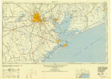
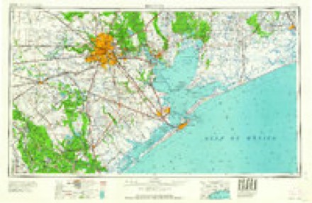
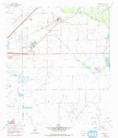
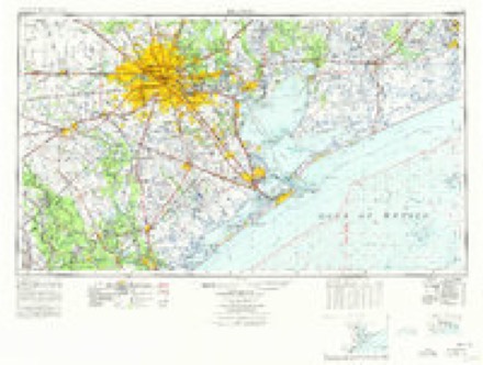
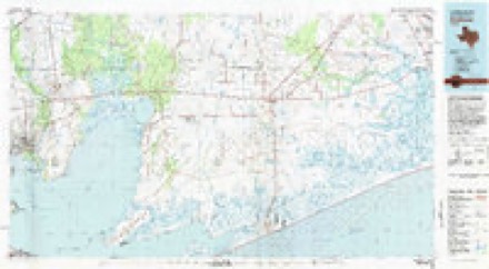
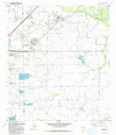
10 topographic sheets cover this place, the earliest surveyed in 1950 and the latest in 1994. It stands in the Nome-China census division. It lies in ZIP code area 77622. The Survey maps it on the Hamshire quadrangle. 962 people lived here at the 2020 count. It stands 13 feet above sea level.
Topographic sheets covering this place
6 surveys from 10 printed sheetsMatched by testing this settlement's coordinate against the published boundary of every sheet in the United States Geological Survey's historical collection. Each opens the scanned sheet at the Survey.
- 1950 USGS Houston quadrangle1:250000
- 1956 USGS Houston quadrangle1:250000, 2 printings
- 1962 USGS Hamshire quadrangle1:24000, 2 printings
- 1975 USGS Houston quadrangle1:250000, 2 printings
- 1983 USGS Anahuac quadrangle1:100000, 2 printings
- 1994 USGS Hamshire quadrangle1:24000
Fires near this place
52 since 1998Regional context, not property-specific evidence. The federal wildfire occurrence database lists 52 fires within 5 miles of Hamshire between 1998 and 2013, burning about 591 acres in total. 2 started naturally. 3 were recorded as arson. Distance is straight-line from the map coordinates, so a fire counted here may appear on a neighbouring settlement's page as well.
| Reported cause | Fires |
|---|---|
| Debris and open burning | 32 |
| Missing data/not specified/undetermined | 9 |
| Smoking | 5 |
| Arson/incendiarism | 3 |
| Natural | 2 |
| Fireworks | 1 |
The most recent of them, most recent first, with the day each was reported and the service that recorded it.
| Date | Cause | Size | Reported by | Name on the report |
|---|---|---|---|---|
| 20 September 2009 | Debris and open burning | 120 acres | Texas A & M Forest Service | SHELLHAMMER RD FIRE |
| 30 August 2011 | Missing data/not specified/undetermined | 1.0 acres | Texas A & M Forest Service | GALVESTON BAY PROCESSING GRASS FIRE |
| 27 August 2010 | Missing data/not specified/undetermined | under an acre | Texas A & M Forest Service | I-10 WEST BOUND FIRE |
| 22 August 2011 | Debris and open burning | 2.0 acres | Texas A & M Forest Service | POWERS RD GRASS FIRE |
| 15 August 2010 | Smoking | under an acre | Texas A & M Forest Service | I-10 EAST BOUND 832 FIRE |
| 13 August 2009 | Debris and open burning | 6.0 acres | Texas A & M Forest Service | WOODVILLE - 207 |
| 7 July 2011 | Natural | under an acre | Texas A & M Forest Service | EAST HAMSHIRE RD GRASS FIRE |
| 6 July 2011 | Natural | 1.5 acres | Texas A & M Forest Service | HAMSHIRE RD @ BRUSH ISLAND RD GRASS FIRE |
Settlements close enough to share some of these fires:
Mines and quarries near this place
1 within 5 milesRegional context, not property-specific evidence. The federal mineral resources record lists 1 working within 5 miles of Hamshire: 1 past producer. None of them still produces. What was taken out: Sulfur, Limestone, Ultra Pure, Halite. Distance is straight-line from the map coordinates, so a quarry counted here may appear on a neighbouring settlement's page as well.
| Where | Site | Commodity | Status | Recorded |
|---|---|---|---|---|
| Fannett Dome Mine | Sulfur, Limestone, Ultra Pure, Halite | Past Producer | Halite |
Storms near this place
24 since 1998Regional context, not property-specific evidence. The National Weather Service names Hamshire in 24 storm reports between 1998 and 2025: 11 hail, 5 flash flood, 4 thunderstorm wind, 2 tornado. The reports record 3 deaths and 2 injuries. Each account below is quoted exactly as the forecast office filed it, from the NOAA Storm Events Database, and each date opens the federal record of that event.
| When | Event | Place named | Harm | What the report says |
|---|---|---|---|---|
| September 2019 | Flash Flood | Hamshire | 3 killed, $300,000,000 | The remnants of Imelda drifted slowly across the interior sections of Southeast Texas during the 18th. A very heavy band of rain dumped over 30 inches of rain in a 12 hour period which created extensive flooding across Jefferson County. The maximum storm total was 44.29 inches near Fannet. The first report of flooding was from the Jefferson County Sheriff's Department with major street flooding in the city of Beaumont and water was entering several homes. Due to the intense rate at which the rain fell flooding depth was worse than Harvey at some locations. Over 5100 homes were flooded. Numerous high water rescues were conducted through out the county. Three people drowned in Jefferson County during the event, 2 men ran off the roadway and into a ditch in different events. Per a family press release, the other man was struck by lightning, but fell in the flood waters and drowned while attempting to save a horse. Drowning was considered the primary cause of death. |
| December 2024 | Tornado (EF3) | Hamshire | 1 hurt, $500,000 | An EF-3 tornado developed south of Houston and moved across Chambers County into Jefferson County just south of Russel Road. It snapped off power poles at French Rd before continuing northeast. An area of trees were snapped off and uprooted just south of the Big Hill Strategic Oil Reserve. The tornado continued northeast where it destroyed the top floor of the Sabine Ranch Lodge, stripped metal from a nearby industrial building, flipped a car into a side yard, and damaged the roofs of two homes. The car contained two people, one sustained a minor injury. The tornado crossed Highways 87 and 82 where it snapped transmission poles. Finally, it moved overtop Sabine Lake. The track continued into western Cameron Parish. Maximum winds were estimated at 161 mph. |
| April 2000 | Tornado (F1) | Hamshire | 1 hurt, $100,000 | no account filed |
| April 2006 | Thunderstorm Wind | Hamshire | $50,000 | no account filed |
| July 2007 | Flash Flood | Hamshire | $5,000 | Some secondary roads were closed in the Hamshire area due to heavy rains. |
| July 2006 | Thunderstorm Wind | Hamshire | $5,000 | no account filed |
| August 2000 | Thunderstorm Wind | Hamshire | $2,000 | no account filed |
| May 2025 | Thunderstorm Wind | Hamshire | - | A flag pole was broken by high winds. |
| May 2024 | Hail | Hamshire | - | Several pictures of large hail were received through social media from Hampshire. |
| November 2024 | Flash Flood | Hamshire | - | Water was reported over several roads just north of Interstate 10 near Hampshire. |
| November 2023 | Flash Flood | Hamshire | - | The south fork of Taylor Bayou flooded roadways near Interstate 10 after heavy rain fell|near Hampshire. |
| April 2020 | Hail | Hamshire | - | One inch in diameter hail reported via social media. |
| April 2017 | Hail | Hamshire | - | Quarter size hail was reported between Winnie and Nome. |
| April 2016 | Flash Flood | Hamshire | - | TXDOT reported Farm-to-Market 366 AT SH 347 flooded in Jefferson County closing portions of the roads. Over 5 inches of rain was reported during the event by several gauges in the county. |
| April 2015 | Hail | Hamshire | - | One inch in diameter hail was reported near Winnie. |
| May 2013 | Hail | Hamshire | - | A report was relayed through Facebook of hail mostly nickel sized with some quarter sized mixed in. |
| April 2009 | Heavy Rain | Hamshire | - | A Jefferson County DD6 Mesonet gauge located 2 miles west of Hamshire measured a three-hour rainfall total of 5.28 inches. |
| April 2009 | Heavy Rain | Hamshire | - | A Jefferson County DD6 Mesonet gauge located 2 miles west of Hamshire measured a six-hour rainfall total of 5.71 inches. |
| April 2003 | Hail | Hamshire | - | no account filed |
| April 2000 | Hail | Hamshire | - | no account filed |
| April 2000 | Hail | Hamshire | - | no account filed |
| September 2000 | Hail | Hamshire | - | no account filed |
| August 1999 | Hail | Hamshire | - | no account filed |
| January 1998 | Hail | Hamshire | - | no account filed |
Nearest settlements
The eight closest, with where each one stands in the county. Distances are straight-line, computed from the Geographic Names Information System coordinates.
| Map | Place | Distance | Sheets |
|---|---|---|---|
| Morey | 2.1 miles | 10 | |
| Fannett | 5.5 miles | 10 | |
| La Belle | 8.1 miles | 12 | |
| Galloway | 9.3 miles | 12 | |
| Taylor Landing | 9.6 miles | 9 | |
| Cheek | 10.2 miles | 12 | |
| Lovell Lake | 11.4 miles | 12 | |
| Hillebrandt | 11.7 miles | 12 |
Elsewhere
Matched on this settlement's Geographic Names Information System number rather than its name, so it cannot be a different place of the same name in another state.
| Wikipedia article on Hamshire | An encyclopaedic summary. Its text is share-alike, so it is linked here rather than copied. |
| Wikidata item Q5646412 | The structured record the population and elevation above come from. Public domain (CC0). |
Provenance
This settlement is recorded in the Geographic Names Information System as feature 1337290. The sheet list is computed by point-in-boundary test against the United States Geological Survey's historical topographic inventory. Both are works of the United States government and carry no copyright under 17 U.S.C. 105.
Wildfire. Short, Karen C. 2022. Spatial wildfire occurrence data for the United States, 1992-2020 [FPA_FOD_20221014]. 6th Edition. Fort Collins, CO: Forest Service Research Data Archive. https://doi.org/10.2737/RDS-2013-0009.6 Collected with United States Government funding and usable without additional permissions or fees.
Mines and quarries. USGS Mineral Resources Data System (MRDS) https://mrdata.usgs.gov/mrds/ A work of the United States government, no copyright under 17 U.S.C. 105.
Storms. NOAA National Centers for Environmental Information, Storm Events Database https://www.ncei.noaa.gov/stormevents/ A work of the United States government, no copyright under 17 U.S.C. 105. Narratives are quoted verbatim from the National Weather Service report and are not edited or summarised.