 Block
BlockHigh, Texas
11 topographic sheets cover this place, the earliest surveyed in 1903 and the latest in 1991. It stands in the Roxton census division. It lies in ZIP code area 75421. The Survey maps it on the Roxton quadrangle.
On record in High
Buildings and businesses the archive holds for this place. Each opens its own page, with the source record it came from.
On the National Register within a mile 1 record
The National Register names another town for these. They stand within one mile of this settlement's coordinate.
- State Highway 5 Bridge at High Creeklisted 1996 · 0.0 miles away
Topographic sheets covering this place
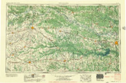
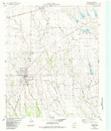
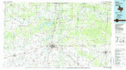
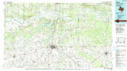
8 surveys from 11 printed sheetsMatched by testing this settlement's coordinate against the published boundary of every sheet in the United States Geological Survey's historical collection. Each opens the scanned sheet at the Survey.
- 1903 USGS Paris quadrangle1:125000
- 1948 USGS Paris quadrangle1:62500
- 1949 USGS Paris quadrangle1:62500
- 1953 USGS Texarkana quadrangle1:250000, 4 printings
- 1956 USGS Texarkana quadrangle1:250000
- 1984 USGS Roxton quadrangle1:24000
- 1985 USGS Paris quadrangle1:100000
- 1991 USGS Paris quadrangle1:100000
Fires near this place
19 since 2006Regional context, not property-specific evidence. The federal wildfire occurrence database lists 19 fires within 5 miles of High between 2006 and 2017, burning about 632 acres in total. 1 started naturally. None was recorded as arson. Distance is straight-line from the map coordinates, so a fire counted here may appear on a neighbouring settlement's page as well.
| Reported cause | Fires |
|---|---|
| Debris and open burning | 13 |
| Equipment and vehicle use | 4 |
| Missing data/not specified/undetermined | 1 |
| Natural | 1 |
The most recent of them, most recent first, with the day each was reported and the service that recorded it.
| Date | Cause | Size | Reported by | Name on the report |
|---|---|---|---|---|
| 5 August 2006 | Equipment and vehicle use | 99 acres | Texas A & M Forest Service | LINDEN - 553 |
| 27 August 2013 | Equipment and vehicle use | 17 acres | Texas A & M Forest Service | 6267 |
| 20 August 2016 | Natural | 1.0 acres | Texas A & M Forest Service | 160820 |
| 12 August 2012 | Debris and open burning | 35 acres | Texas A & M Forest Service | LINDEN - 6186 |
| 10 August 2016 | Debris and open burning | 1.0 acres | Texas A & M Forest Service | 160810 |
| 30 July 2016 | Debris and open burning | 10 acres | Texas A & M Forest Service | RON TRIBBLE |
| 27 July 2015 | Equipment and vehicle use | 20 acres | Texas A & M Forest Service | PHILLIP RANCH BALER |
| 19 July 2011 | Equipment and vehicle use | 274 acres | Texas A & M Forest Service | METRO GATES FIRE |
Settlements close enough to share some of these fires:
Mines and quarries near this place
2 within 5 milesRegional context, not property-specific evidence. The federal mineral resources record lists 2 workings within 5 miles of High: 2 past producers. None of them still produces. What was taken out: Limestone, General. Distance is straight-line from the map coordinates, so a quarry counted here may appear on a neighbouring settlement's page as well.
Storms near this place
3 since 1997Regional context, not property-specific evidence. The National Weather Service names High in 3 storm reports between 1997 and 2022: 2 tornado, 1 hail. The reports record 10 injuries. Each account below is quoted exactly as the forecast office filed it, from the NOAA Storm Events Database, and each date opens the federal record of that event.
| When | Event | Place named | Harm | What the report says |
|---|---|---|---|---|
| November 2022 | Tornado (EF4) | High | 10 hurt, $5,000,000 | A tornado formed near Brookston in western Lamar County and tracked rapidly northeastward, passing to the northwest of Paris, Texas before exiting the northern edge of Lamar County, east of Arthur City. The tornado continued into Choctaw County Oklahoma and additional information about the damage in that county can be found in a separate entry. Several dozen individual homes, businesses and outbuildings were impacted across western and northern Lamar County. Damage consistent with EF-3 intensity tornadic winds of 150-160 mph were identified at several locations west through north of Paris. In particular, several residences along Farm Market Road 1499 northwest of Paris were completely unroofed, with most external and internal walls destroyed. This damage was consistent with tornado intensities of approximately 160 mph. One particular house on CR 33620 revealed EF-4 damage, with estimated winds of at least 170 MPH. EF-3 damage of 145 to 155 mph was also identified with a small number of structures along Farm to Market Road 906 near Mideity, as well as with a residence along Farm to Market Road 2820 west-northwest of Paris. Primary damage to these structures was the total loss of roofs and large-scale interior and exterior wall failure. EF-2 damage, consistent with winds of 111 to 135 mph, was identified with a number of other structures along the tornado's path. Structures with this degree of damage had either all or large portions of their roofs destroyed or significantly damaged, with some wall failures. Widespread EF-1 damage was also apparent all along the track from Brookston to east of Arthur City, as evidenced by trees uprooted, power poles snapped, outbuildings severely damaged, and/or wood frame homes with serious roof damage. Maximum estimated winds were 170 mph. |
| March 2011 | Tornado (EF0) | High | $20,000 | A survey team found damage associated with an EF-0 tornado southwest of the town of Brookston. The tornado path was non-continuous and was estimated to be near 4 miles long with a maximum width of 60 yards. The maximum wind speed were estimated to be 70 mph. The tornado began near the intersection of County Roads 26702 and 25780. From there is traveled east-northeast before dissipating just to the east of FM 38. One barn was damaged. |
| October 1997 | Hail | High | - | no account filed |
Nearest settlements
The eight closest, with where each one stands in the county. Distances are straight-line, computed from the Geographic Names Information System coordinates.
Provenance
This settlement is recorded in the Geographic Names Information System as feature 1359149. The sheet list is computed by point-in-boundary test against the United States Geological Survey's historical topographic inventory. Both are works of the United States government and carry no copyright under 17 U.S.C. 105.
Wildfire. Short, Karen C. 2022. Spatial wildfire occurrence data for the United States, 1992-2020 [FPA_FOD_20221014]. 6th Edition. Fort Collins, CO: Forest Service Research Data Archive. https://doi.org/10.2737/RDS-2013-0009.6 Collected with United States Government funding and usable without additional permissions or fees.
Mines and quarries. USGS Mineral Resources Data System (MRDS) https://mrdata.usgs.gov/mrds/ A work of the United States government, no copyright under 17 U.S.C. 105.
Storms. NOAA National Centers for Environmental Information, Storm Events Database https://www.ncei.noaa.gov/stormevents/ A work of the United States government, no copyright under 17 U.S.C. 105. Narratives are quoted verbatim from the National Weather Service report and are not edited or summarised.