 Block
BlockKennedale, Texas
16 topographic sheets cover this place, the earliest surveyed in 1894 and the latest in 1995. It stands in the Arlington census division. It lies in ZIP code area 76060. It lies near Murray Hill. The Survey maps it on the Kennedale quadrangle. 8,517 people lived here at the 2020 count. It stands 630 feet above sea level.
Population over time
2 figuresKennedale grew from 6,763 to 8,517 between 2010 and 2020. These are the recorded population figures Wikidata holds for this place, reached through the Geographic Names Information System number this page is keyed on rather than by name, so they belong to this place and not to another of the same name. Most are census counts, but not all are: an early figure may be a founding or settlement estimate, and an estimate published within five years of a census is left out. The change column is computed, and is left blank where more than 20 years separate a figure from the one before it, because a gap that long is not a change between two counts.
| Year | People | Change |
|---|---|---|
| 2010 | 6,763 | |
| 2020 | 8,517 | +1,754 (+26%) |
Topographic sheets covering this place
7 surveys from 16 printed sheetsMatched by testing this settlement's coordinate against the published boundary of every sheet in the United States Geological Survey's historical collection. Each opens the scanned sheet at the Survey.
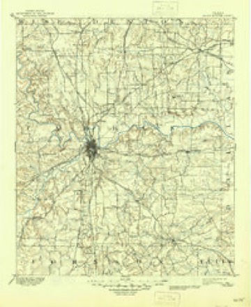
- 1894 USGS Fort Worth quadrangle1:125000, 3 printings
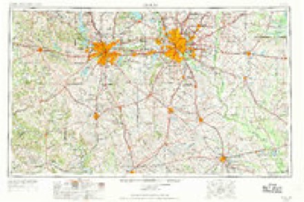
- 1954 USGS Dallas quadrangle1:250000, 4 printings
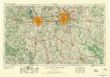
- 1958 USGS Dallas quadrangle1:250000
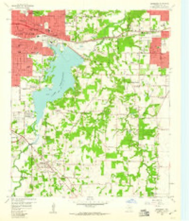
- 1959 USGS Arlington quadrangle1:62500
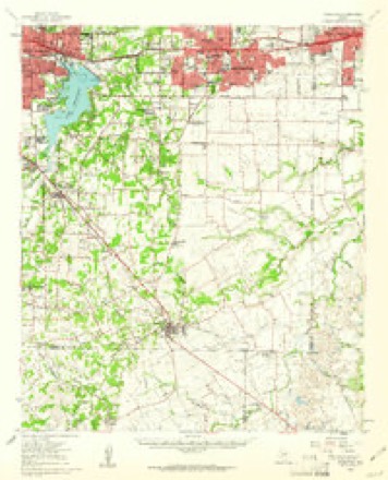
- 1959 USGS Kennedale quadrangle1:24000, 4 printings
- 1985 USGS Fort Worth quadrangle1:100000, 2 printings
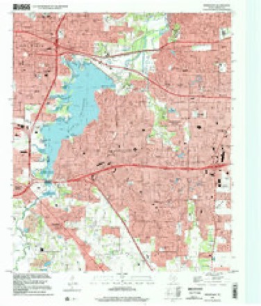
- 1995 USGS Kennedale quadrangle1:24000
Fires near this place
203 since 2005Regional context, not property-specific evidence. The federal wildfire occurrence database lists 203 fires within 5 miles of Kennedale between 2005 and 2020, burning about 1,159 acres in total. None started naturally. 8 were recorded as arson. Distance is straight-line from the map coordinates, so a fire counted here may appear on a neighbouring settlement's page as well.
| Reported cause | Fires |
|---|---|
| Missing data/not specified/undetermined | 159 |
| Debris and open burning | 14 |
| Arson/incendiarism | 8 |
| Smoking | 7 |
| Power generation/transmission/distribution | 6 |
| Equipment and vehicle use | 4 |
| Misuse of fire by a minor | 4 |
| Recreation and ceremony | 1 |
The most recent of them, most recent first, with the day each was reported and the service that recorded it.
| Date | Cause | Size | Reported by | Name on the report |
|---|---|---|---|---|
| 7 September 2012 | Smoking | under an acre | Texas A & M Forest Service | 287 FIRE |
| 6 September 2019 | Missing data/not specified/undetermined | 1.0 acres | Texas A & M Forest Service | WILLBARGER |
| 3 September 2019 | Missing data/not specified/undetermined | under an acre | Texas A & M Forest Service | CIRCLE DR |
| 26 September 2015 | Missing data/not specified/undetermined | under an acre | Texas A & M Forest Service | E SEMINARY |
| 25 September 2019 | Missing data/not specified/undetermined | under an acre | Texas A & M Forest Service | OAK GROVE |
| 25 September 2015 | Missing data/not specified/undetermined | under an acre | Texas A & M Forest Service | CAMPUS |
| 25 September 2014 | Missing data/not specified/undetermined | under an acre | Texas A & M Forest Service | DAVID STRICKLAND |
| 24 September 2015 | Missing data/not specified/undetermined | under an acre | Texas A & M Forest Service | HWY 287 |
Settlements close enough to share some of these fires:
Storms near this place
20 since 1994Regional context, not property-specific evidence. The National Weather Service names Kennedale in 20 storm reports between 1994 and 2025: 11 hail, 7 thunderstorm wind, 1 flash flood, 1 tornado. The reports record 7 injuries. Each account below is quoted exactly as the forecast office filed it, from the NOAA Storm Events Database, and each date opens the federal record of that event.
| When | Event | Place named | Harm | What the report says |
|---|---|---|---|---|
| April 2012 | Tornado (EF2) | Kennedale | 7 hurt, $200,000,000 | An EF-2 tornado began in Kennedale, and then moved north-northeast into Arlington. In its occlusion phase, the tornado curved back to the northwest; ending its track near the east shores of Lake Arlington along Waterview Drive. The path length of the tornado was 6.4 miles long with a width of approximately 150 yards. Damage from the tornado began near the Texas Raceway. Five manufactured homes were heavily damaged or destroyed near the racing strip. Moving to the north-northeast, the tornado produced sporadic damage to trees, power poles, and a storage facility as the storm organized rapidly. Part of the roof of a warehouse at a business on Tower Drive near Business 287 was torn off and tossed onto a city water tower nearby. The warehouse was also damaged by debris tossed by the tornado. Other businesses near this intersection were also damaged. Damage to residences began north of Sublett Rd. EF-2 damage was noted to a few homes between Sublett Rd and Hwy 287, but most areas received EF-0 or EF-1 damage. Approximately 143 homes and apartments sustained some type of damage in this area. Most of the homes appeared to have the initial failure at or near the garage, with subsequent damage coming to exterior walls or portions of roofs. Before the tornado crossed Hwy 287, it damaged the roofs of two buildings at the Chesterfield Apartments. Once the tornado crossed Hwy 287, it cut a path to the north-northeast causing mostly minor roof and fence damage to approximately 25-30 homes between Hwy 287 and Interstate 20. The tornado crossed Interstate 20 between Kelly Elliott Rd and Green Oaks Blvd. First the tornado damaged a church on the north side of the interstate, then the tornado went on to do significant damage in the Oldfield neighborhood just north of Interstate 20 near Martin High School. Approximately 100 homes were damaged in this neighborhood with an additional 85 damaged in the surrounding areas. Several homes experienced significant damage to garages and progressive failure of garage walls and portions of roofs. A few residences in this neighborhood along Haverford Dr and Thorncliffe Dr sustained EF-2 damage. Large trees were also uprooted in the neighborhood. The damage path continued to the north from this area with several other homes and trees sustaining damage near Little Road. Just west of Martin High School, the tornado began to occlude and turn northwest. At this point, near Green Oaks Boulevard and Chaperito Street, a nursing home suffered significant roof and outside wall damage, with the initial failure occurring near a large window. Nearly all of the residential damage in Kennedale and Arlington was EF-0 or EF-1. Only a small portion of the damage path suffered EF-2 damage. A total of 5 homes in Kennedale and 13 homes in Arlington were determined to be destroyed. Another 44 homes sustained major damage and 247 sustained minor damage. An additional 273 residences were affected by the storms on this day. Maximum estimated winds with the tornado were 135 mph. Eight people sustained injuries from the tornado, but only one of those injured was considered severe. |
| May 2013 | Thunderstorm Wind | Kennedale | $100,000 | Thunderstorm winds cause damage to buildings in Kennedale. Storage units had damage to doors and walls, while one building lost a roof. |
| June 2012 | Thunderstorm Wind | Kennedale | $5,000 | Strong thunderstorm winds knocked down 2-3 tree branches along West Kennedale Pkwy. At a business in the 700 block of West Kennedale Pkwy, some trim was removed from the building, street signs were turned around, and an office door was sucked open. Power lines were also knocked down in the area. |
| April 2004 | Thunderstorm Wind | Kennedale | $5,000 | Power lines were blown down. |
| August 1994 | Thunderstorm Wind | Kennedale | $5,000 | Trees were blown down by thunderstorm winds. |
| August 2002 | Thunderstorm Wind | Kennedale | $2,000 | Trees were blown down in Kennedale. |
| April 2020 | Hail | Kennedale | $1,000 | Approximate 1.5 hail was reported near the football stadium at Kennedale High School. |
| April 2008 | Thunderstorm Wind | Kennedale | $1,000 | Fences were blown down. |
| June 2025 | Hail | Kennedale | - | Report from mPING: Half Dollar (1.25 in.). |
| June 2025 | Hail | Kennedale | - | Report from mPING: Ping Pong Ball (1.50 in.). |
| April 2024 | Hail | Kennedale | - | Public reported quarter sized hail 2 miles southeast of Kennedale via mPING. |
| June 2023 | Hail | Kennedale | - | Report was received via mPING. |
| April 2011 | Thunderstorm Wind | Kennedale | - | Thunderstorm winds blew down a large tree in the Kennedale community. |
| June 2009 | Hail | Kennedale | - | Nickel size hail was reported at the intersection of I-20 and Bowman Springs. |
| April 2004 | Hail | Kennedale | - | Occurred at Highway 287. |
| March 1998 | Flash Flood | Kennedale | - | Some streets were closed by high water. |
| April 1994 | Hail | Kennedale | - | Fences and some trees were blown down. |
| April 2004 | Hail | Kennedale | - | no account filed |
| May 2003 | Hail | Kennedale | - | no account filed |
| April 1994 | Hail | Kennedale | - | no account filed |
Nearest settlements
The eight closest, with where each one stands in the county. Distances are straight-line, computed from the Geographic Names Information System coordinates.
| Map | Place | Distance | Sheets |
|---|---|---|---|
| Lindberg | 2.5 miles | 16 | |
| Forest Hill | 2.9 miles | 16 | |
| Tate Springs | 2.9 miles | 16 | |
| Bisbee | 3.4 miles | 16 | |
| Everman | 3.5 miles | 16 | |
| Valley Ridge | 4.2 miles | 16 | |
| Sublett | 4.9 miles | 16 | |
| Rendon | 4.9 miles | 16 |
Elsewhere
Matched on this settlement's Geographic Names Information System number rather than its name, so it cannot be a different place of the same name in another state.
| Wikipedia article on Kennedale | An encyclopaedic summary. Its text is share-alike, so it is linked here rather than copied. |
| Wikidata item Q26488 | The structured record the population and elevation above come from. Public domain (CC0). |
Provenance
This settlement is recorded in the Geographic Names Information System as feature 1339035. The sheet list is computed by point-in-boundary test against the United States Geological Survey's historical topographic inventory. Both are works of the United States government and carry no copyright under 17 U.S.C. 105.
Wildfire. Short, Karen C. 2022. Spatial wildfire occurrence data for the United States, 1992-2020 [FPA_FOD_20221014]. 6th Edition. Fort Collins, CO: Forest Service Research Data Archive. https://doi.org/10.2737/RDS-2013-0009.6 Collected with United States Government funding and usable without additional permissions or fees.
Storms. NOAA National Centers for Environmental Information, Storm Events Database https://www.ncei.noaa.gov/stormevents/ A work of the United States government, no copyright under 17 U.S.C. 105. Narratives are quoted verbatim from the National Weather Service report and are not edited or summarised.