 Block
BlockLa Gloria, Texas
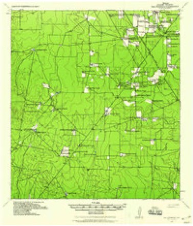
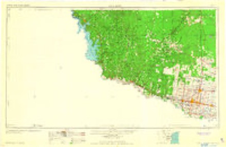
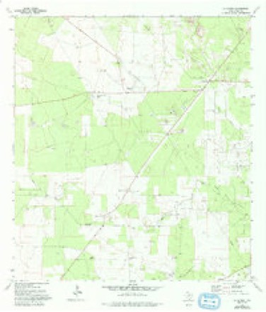
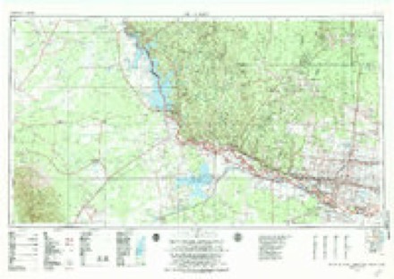
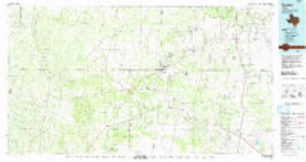
10 topographic sheets cover this place, the earliest surveyed in 1938 and the latest in 1992. It stands in the Rio Grande City census division. It lies in ZIP code area 78591. The Survey maps it on the La Gloria quadrangle.
Topographic sheets covering this place
9 surveys from 10 printed sheetsMatched by testing this settlement's coordinate against the published boundary of every sheet in the United States Geological Survey's historical collection. Each opens the scanned sheet at the Survey.
- 1938 USGS Sal Colorada quadrangle1:62500
- 1949 USGS Mc Allen quadrangle1:250000
- 1954 USGS McAllen quadrangle1:250000
- 1957 USGS Mc Allen quadrangle1:250000, 2 printings
- 1962 USGS McAllen quadrangle1:250000
- 1972 USGS La Gloria quadrangle1:24000
- 1983 USGS Mc Allen quadrangle1:250000
- 1985 USGS Encino quadrangle1:100000
- 1992 USGS Encino quadrangle1:100000
Fires near this place
9 since 2005Regional context, not property-specific evidence. The federal wildfire occurrence database lists 9 fires within 5 miles of La Gloria between 2005 and 2020, burning about 3,184 acres in total. None started naturally. 1 was recorded as arson. Distance is straight-line from the map coordinates, so a fire counted here may appear on a neighbouring settlement's page as well.
| Reported cause | Fires |
|---|---|
| Missing data/not specified/undetermined | 4 |
| Debris and open burning | 2 |
| Equipment and vehicle use | 2 |
| Arson/incendiarism | 1 |
The most recent of them, most recent first, with the day each was reported and the service that recorded it.
| Date | Cause | Size | Reported by | Name on the report |
|---|---|---|---|---|
| 24 July 2020 | Missing data/not specified/undetermined | 15 acres | Texas A & M Forest Service | N 755 |
| 9 June 2016 | Debris and open burning | 15 acres | Texas A & M Forest Service | FM 755 RD |
| 5 June 2018 | Missing data/not specified/undetermined | 125 acres | Texas A & M Forest Service | SANTA ELANA |
| 27 June 2005 | Equipment and vehicle use | 141 acres | South Texas Refuge Complex | AGUA NUEVA |
| 21 May 2005 | Arson/incendiarism | 2,200 acres | South Texas Refuge Complex | YZAGUIRRE |
| 6 March 2019 | Equipment and vehicle use | 75 acres | Texas A & M Forest Service | SAN ISIDRO |
| 11 October 2010 | Missing data/not specified/undetermined | 8.0 acres | South Texas Refuge Complex | 33 |
| 8 January 2006 | Debris and open burning | 500 acres | Texas A & M Forest Service | not named |
Settlements close enough to share some of these fires:
Storms near this place
11 since 1997Regional context, not property-specific evidence. The National Weather Service names La Gloria in 11 storm reports between 1997 and 2020: 6 hail, 3 thunderstorm wind, 2 flash flood. No death or injury is recorded in these reports. Each account below is quoted exactly as the forecast office filed it, from the NOAA Storm Events Database, and each date opens the federal record of that event.
| When | Event | Place named | Harm | What the report says |
|---|---|---|---|---|
| July 2008 | Flash Flood | La Gloria | $10,000 | The slow west, then northwest, movement of Hurricane Dolly through Willacy County during the daylight hours of the 23rd generally kept the heaviest rains from moving into the western Lower Rio Grande Valley. However, overnight on the 23rd, and especially during the morning hours of the 24th, persistent heavy rain bands developed, initially just west and southwest of the immediate center of circulation as it moved into southern Jim Hogg County between 230 and 430 AM, then mainly around and after sunrise in bands stretching from Roma in southwest Starr County northeast toward La Gloria. Arroyos in and near Roma filled quickly, and some minor flash flooding likely resulted from the rainfall, before the rains gradually tapered off toward noon on the 24th. ||Measured and estimated rainfall in Starr County, particularly where the likely flooding occurred, 8 to 12 inches occurred, with perhaps a bit more just to the southeast of Falcon Heights and north/northeast of Roma.||Property and Crop damage are currently estimated. Property damage is estimated based on insured damage reports from FEMA's National Flood Insurance Program, but are likely a bit lower than actual damages since most impacted areas were likely insured. Updates will be provided as additional data are received. |
| May 1999 | Thunderstorm Wind | La Gloria | $2,000 | Tree and roof damage. |
| May 2020 | Thunderstorm Wind | La Gloria | - | Multiple trees were reported down and blocking roadways to the north of La Gloria near highway 755. Time estimated via radar. |
| April 2012 | Hail | La Gloria | - | Quarter sized hail fell across northeast portions of Starr County. United States Postal Office and a coop observer reported hail between 4:20 pm and 4:40 pm between San Ysidro and La Gloria. |
| May 2007 | Hail | La Gloria | - | Golf ball size hail was reported along Highway 1017. |
| July 2002 | Flash Flood | La Gloria | - | Law enforcement officials reported flash flooding over Highway 755 in La Gloria. |
| May 2000 | Hail | La Gloria | - | The United States Post Office in La Gloria received several reports of nickel size hail from people living in Starr and Jim Hogg counties. |
| December 2002 | Hail | La Gloria | - | no account filed |
| March 2000 | Thunderstorm Wind | La Gloria | - | no account filed |
| May 1997 | Hail | La Gloria | - | no account filed |
| May 1997 | Hail | La Gloria | - | no account filed |
Nearest settlements
The eight closest, with where each one stands in the county. Distances are straight-line, computed from the Geographic Names Information System coordinates.
| Map | Place | Distance | Sheets |
|---|---|---|---|
| Old Santa Elena | 2.4 miles | 11 | |
| Santa Elena | 3.3 miles | 11 | |
| San Isidro | 3.6 miles | 11 | |
| Santa Anna | 4.2 miles | 10 | |
| Gloria Colonia | 4.5 miles | 11 | |
| Santa Catarina | 5.4 miles | 10 | |
| El Centro | 5.4 miles | 11 | |
| Robberson | 5.9 miles | 10 |
Elsewhere
Matched on this settlement's Geographic Names Information System number rather than its name, so it cannot be a different place of the same name in another state.
| Wikipedia article on La Gloria | An encyclopaedic summary. Its text is share-alike, so it is linked here rather than copied. |
| Wikidata item Q6462771 | The structured record the population and elevation above come from. Public domain (CC0). |
Provenance
This settlement is recorded in the Geographic Names Information System as feature 1339318. The sheet list is computed by point-in-boundary test against the United States Geological Survey's historical topographic inventory. Both are works of the United States government and carry no copyright under 17 U.S.C. 105.
Wildfire. Short, Karen C. 2022. Spatial wildfire occurrence data for the United States, 1992-2020 [FPA_FOD_20221014]. 6th Edition. Fort Collins, CO: Forest Service Research Data Archive. https://doi.org/10.2737/RDS-2013-0009.6 Collected with United States Government funding and usable without additional permissions or fees.
Storms. NOAA National Centers for Environmental Information, Storm Events Database https://www.ncei.noaa.gov/stormevents/ A work of the United States government, no copyright under 17 U.S.C. 105. Narratives are quoted verbatim from the National Weather Service report and are not edited or summarised.