 Block
BlockLinn, Texas
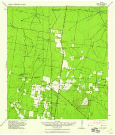
11 topographic sheets cover this place, the earliest surveyed in 1939 and the latest in 1992. It stands in the Puerto Rico-San Manuel census division. It lies in ZIP code area 78542. The Survey maps it on the Linn quadrangle.
On record in Linn
Buildings and businesses the archive holds for this place. Each opens its own page, with the source record it came from.
On the National Register 1 record
- McAllen Ranchlisted 2007
Topographic sheets covering this place
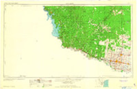
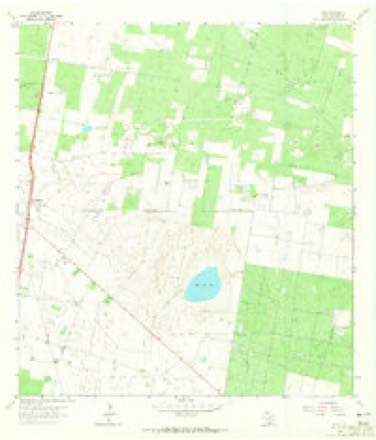
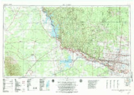
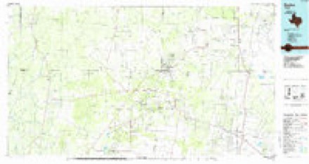
9 surveys from 11 printed sheetsMatched by testing this settlement's coordinate against the published boundary of every sheet in the United States Geological Survey's historical collection. Each opens the scanned sheet at the Survey.
- 1939 USGS Linn quadrangle1:62500
- 1949 USGS Mc Allen quadrangle1:250000
- 1954 USGS McAllen quadrangle1:250000
- 1957 USGS Mc Allen quadrangle1:250000, 2 printings
- 1962 USGS McAllen quadrangle1:250000
- 1963 USGS Linn quadrangle1:24000, 2 printings
- 1983 USGS Mc Allen quadrangle1:250000
- 1985 USGS Encino quadrangle1:100000
- 1992 USGS Encino quadrangle1:100000
Fires near this place
41 since 1994Regional context, not property-specific evidence. The federal wildfire occurrence database lists 41 fires within 5 miles of Linn between 1994 and 2018, burning about 29,623 acres in total. None started naturally. 7 were recorded as arson. Distance is straight-line from the map coordinates, so a fire counted here may appear on a neighbouring settlement's page as well.
| Reported cause | Fires |
|---|---|
| Missing data/not specified/undetermined | 22 |
| Arson/incendiarism | 7 |
| Debris and open burning | 6 |
| Equipment and vehicle use | 3 |
| Power generation/transmission/distribution | 1 |
| Smoking | 1 |
| Railroad operations and maintenance | 1 |
The most recent of them, most recent first, with the day each was reported and the service that recorded it.
| Date | Cause | Size | Reported by | Name on the report |
|---|---|---|---|---|
| 6 August 1998 | Arson/incendiarism | 2.0 acres | Lower Rio Grande Valley National Wildlife Refuge | SAL DE REY |
| 25 August 2002 | Debris and open burning | 1.0 acres | South Texas Refuge Complex | CUELLAR! |
| 19 August 2017 | Missing data/not specified/undetermined | 1.1 acres | Lower Rio Grande Valley National Wildlife Refuge | SAL DEL REY 3 |
| 16 August 2009 | Arson/incendiarism | 1.0 acres | Lower Rio Grande Valley National Wildlife Refuge | LA SAL DEL REY 3 |
| 16 August 2001 | Missing data/not specified/undetermined | 10 acres | Lower Rio Grande Valley National Wildlife Refuge | ROADSIDE |
| 16 August 1994 | Debris and open burning | 15 acres | Lower Rio Grande Valley National Wildlife Refuge | SALDELREY |
| 6 July 2009 | Missing data/not specified/undetermined | 200 acres | South Texas Refuge Complex | MILLER '09 |
| 22 July 1995 | Arson/incendiarism | under an acre | Lower Rio Grande Valley National Wildlife Refuge | HAVANA1 |
Settlements close enough to share some of these fires:
Mines and quarries near this place
3 within 5 milesRegional context, not property-specific evidence. The federal mineral resources record lists 3 workings within 5 miles of Linn: 2 producers, 1 past producer. 2 still produce. What was taken out: Stone, Crushed/Broken. Distance is straight-line from the map coordinates, so a quarry counted here may appear on a neighbouring settlement's page as well.
| Where | Site | Commodity | Status | Recorded |
|---|---|---|---|---|
| Cooks Pit | Stone, Crushed/Broken | Producer | ||
| Linn Pit and Plant | Stone, Crushed/Broken | Past Producer | ||
| Linn Quarry | Stone, Crushed/Broken | Producer | Caliche |
Storms near this place
4 since 2012Regional context, not property-specific evidence. The National Weather Service names Linn in 4 storm reports between 2012 and 2021: 2 thunderstorm wind, 1 heavy rain, 1 flash flood. The reports record 1 injury. Each account below is quoted exactly as the forecast office filed it, from the NOAA Storm Events Database, and each date opens the federal record of that event.
| When | Event | Place named | Harm | What the report says |
|---|---|---|---|---|
| May 2012 | Thunderstorm Wind | Linn | 1 hurt, $50,000 | A semi trailer was blown over on US 281, 6 miles north of TX HWY 186. Driver of semi was injured. Driver stated that he had pulled onto the shoulder due to blinding rain and pelting hail and soon after, the downburst moved the trailer onto the dirt shoulder and then turned over. The trailer was carrying 5 tons of cargo (vacuum cleaners) and at least 200 gallons of diesel, which had to be removed from the scene.||The Precinct Constable, who lives about a mile southwest of the trailer incident, reported numerous asphalt shingles pulled from the northwest facing roof, and one window was blown out. Numerous mesquite trees were snapped or had large healthy limbs broken and healthy ebony and oak trees were also damaged on the ranch. Heavy cable was torn out of a telephone tower (0.2 miles SE of the ranch house) at an estimated height of 200 feet above the ground.||A peak instantaneous wind gust of 102 mph was recorded at a 10 meter temporary wind platform as the microburst surged through. The same platform recorded 35 minutes of wind gusts to 50 mph or higher; the platform was less than one half mile from the Constable's house. |
| May 2015 | Flash Flood | Linn | $2,000,000 | Hidalgo County EM reported flash flooding along and near FM 1017 and extending southeast to north and east of Edinburg, including Faysville, Monte Alto, and Linn-San Manuel. Water Along and near Farm to Market Road 1017 and extending southeast to areas north and east of Edinburg, including Faysville and Monte Alto. Roadways were covered in high water, which resulted in water entering the fire station in San Manuel and numerous water rescues. Hidalgo County EM reported that water entered the fire station in San Manuel. |
| May 2021 | Thunderstorm Wind | Linn | $10,000 | Social media report of a damaged carport and a barn roof torn off in the Linn area. Time was estimated via radar. |
| May 2012 | Heavy Rain | Linn | - | The Hidalgo County Precinct #4 Constable recorded 4 to 4.5 inches of rainfall across his ranch to the northwest of U.S. Highway 281, approximately 6 miles north of Linn. High standing water of unknown depth was reported on unpaved roads and in some of the fields. |
Nearest settlements
The eight closest, with where each one stands in the county. Distances are straight-line, computed from the Geographic Names Information System coordinates.
| Map | Place | Distance | Sheets |
|---|---|---|---|
| San Manuel | 0.3 miles | 11 | |
| Los Angeles | 1.6 miles | 11 | |
| Lane Number 2 Colonia | 4.0 miles | 11 | |
| Lane Number 1 Colonia | 4.0 miles | 11 | |
| Red Gate | 4.4 miles | 8 | |
| Solino | 5.0 miles | 8 | |
| Laguna Seca | 5.9 miles | 8 | |
| Los Cerritos Colonia | 8.2 miles | 8 |
Provenance
This settlement is recorded in the Geographic Names Information System as feature 1378589. The sheet list is computed by point-in-boundary test against the United States Geological Survey's historical topographic inventory. Both are works of the United States government and carry no copyright under 17 U.S.C. 105.
Wildfire. Short, Karen C. 2022. Spatial wildfire occurrence data for the United States, 1992-2020 [FPA_FOD_20221014]. 6th Edition. Fort Collins, CO: Forest Service Research Data Archive. https://doi.org/10.2737/RDS-2013-0009.6 Collected with United States Government funding and usable without additional permissions or fees.
Mines and quarries. USGS Mineral Resources Data System (MRDS) https://mrdata.usgs.gov/mrds/ A work of the United States government, no copyright under 17 U.S.C. 105.
Storms. NOAA National Centers for Environmental Information, Storm Events Database https://www.ncei.noaa.gov/stormevents/ A work of the United States government, no copyright under 17 U.S.C. 105. Narratives are quoted verbatim from the National Weather Service report and are not edited or summarised.