 Block
BlockLouetta, Texas
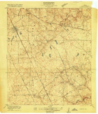
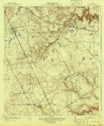
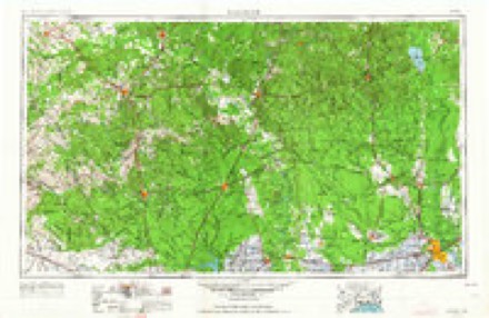
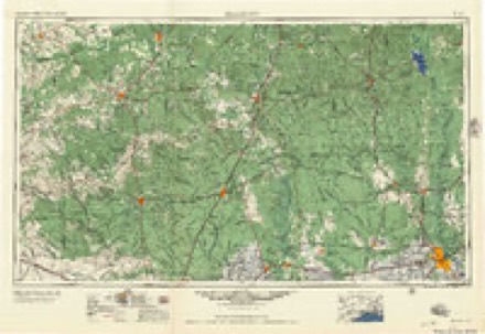
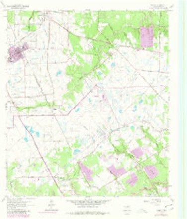
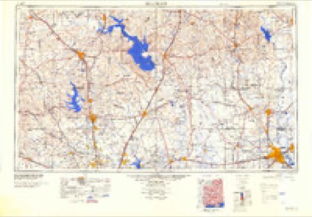
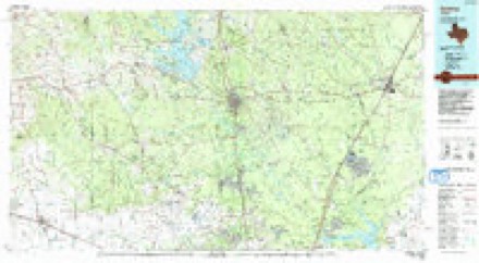
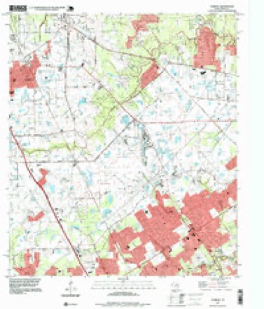
17 topographic sheets cover this place, the earliest surveyed in 1916 and the latest in 1995. It stands in the Northwest Harris census division. It lies in ZIP code area 77379. It lies near Pillot Gully. The Survey maps it on the Tomball quadrangle.
Topographic sheets covering this place
8 surveys from 17 printed sheetsMatched by testing this settlement's coordinate against the published boundary of every sheet in the United States Geological Survey's historical collection. Each opens the scanned sheet at the Survey.
- 1916 USGS Louetta quadrangle1:24000
- 1920 USGS Louetta quadrangle1:31680, 2 printings
- 1954 USGS Beaumont quadrangle1:250000, 3 printings
- 1957 USGS Beaumont quadrangle1:250000
- 1962 USGS Tomball quadrangle1:24000, 4 printings
- 1984 USGS Beaumont quadrangle1:250000, 3 printings
- 1985 USGS Conroe quadrangle1:100000, 2 printings
- 1995 USGS Tomball quadrangle1:24000
Fires near this place
20 since 1992Regional context, not property-specific evidence. The federal wildfire occurrence database lists 20 fires within 5 miles of Louetta between 1992 and 2020, burning about 106 acres in total. None started naturally. 2 were recorded as arson. Distance is straight-line from the map coordinates, so a fire counted here may appear on a neighbouring settlement's page as well.
| Reported cause | Fires |
|---|---|
| Missing data/not specified/undetermined | 9 |
| Debris and open burning | 6 |
| Arson/incendiarism | 2 |
| Recreation and ceremony | 1 |
| Power generation/transmission/distribution | 1 |
| Misuse of fire by a minor | 1 |
The most recent of them, most recent first, with the day each was reported and the service that recorded it.
| Date | Cause | Size | Reported by | Name on the report |
|---|---|---|---|---|
| 13 August 2000 | Misuse of fire by a minor | 2.0 acres | Texas A & M Forest Service | CONROE - 281 |
| 1 August 2015 | Debris and open burning | 6.4 acres | Texas A & M Forest Service | 4514 |
| 4 July 2020 | Missing data/not specified/undetermined | 1.0 acres | Texas A & M Forest Service | B066, E066, E096 |
| 3 July 2020 | Missing data/not specified/undetermined | under an acre | Texas A & M Forest Service | E096 |
| 8 May 2020 | Missing data/not specified/undetermined | under an acre | Texas A & M Forest Service | E004 |
| 16 May 2011 | Debris and open burning | 1.0 acres | Livingston Area | LIVINGSTON - 400 |
| 11 May 2020 | Missing data/not specified/undetermined | under an acre | Texas A & M Forest Service | E096 |
| 17 April 2011 | Debris and open burning | 6.0 acres | Livingston Area | LIVINGSTON - 279 |
Settlements close enough to share some of these fires:
Storms near this place
11 since 1997Regional context, not property-specific evidence. The National Weather Service names Louetta in 11 storm reports between 1997 and 2024: 3 thunderstorm wind, 3 hail, 3 flash flood, 1 lightning. No death or injury is recorded in these reports. Each account below is quoted exactly as the forecast office filed it, from the NOAA Storm Events Database, and each date opens the federal record of that event.
| When | Event | Place named | Harm | What the report says |
|---|---|---|---|---|
| April 2009 | Flash Flood | Louetta | $3,500,000 | Heavy rainfall persisted across the county as several thunderstorms produced rainfall totals of 8 to 10 inches across the county. Numerous roads were closed in areas of the county, including Jersey Village, Houston Heights, La Porte, Pasadena, Webster, and near the Houston Hobby airport. More than 350 homes were flooded due to the heavy rains and flooding along bayous. In some areas residential streets were reported to have more than one foot of standing water. The highest one hour rainfall total was 6.90 inches recorded at Bay Area Blvd and Clear Creek. This exceeds the highest one hour rainfall rate measured during Tropical Storm Allison in June 2001, which was 6.30 inches.||In the northern part of the county five children were killed after the car they were riding in inadvertently drove into a drainage ditch that was filled with nine feet of water from the heavy rainfall. Two adults and one child were able to escape the floodwaters, but the five younger children, all under 7 years old, were not able to escape. |
| July 2013 | Lightning | Louetta | $30,000 | A lightning strike caused an attic fire in a residential home. |
| May 1997 | Thunderstorm Wind | Louetta | $10,000 | Numerous trees down and signal lights damaged near HWY 249 |
| October 2021 | Thunderstorm Wind | Louetta | $7,000 | Trees were down at the Jersey Meadow Golf Course. |
| June 2008 | Hail | Louetta | $5,000 | Nickel size hail was observed just north of Jersey Village. |
| July 2012 | Flash Flood | Louetta | $1,000 | Parts of Eldridge Parkway near 290 became impassable due to high water. |
| March 2024 | Hail | Louetta | - | Quarter sized hail was observed. |
| March 2024 | Hail | Louetta | - | Nickel sized hail was observed. |
| April 2024 | Thunderstorm Wind | Louetta | - | Several trees were downed in the Jersey Village area. |
| January 2017 | Tornado (EF0) | Louetta | - | A witness watched this weak tornado touch down and track over three houses along Perry Road in the Harvest Village subdivision then lift. The three homes sustained roof, window and fence damage. In one case, damaged fences from one home were lifted onto the roof of another home. The storm survey revealed high end EF0 damage with winds estimated near 80 mph. |
| August 2017 | Flash Flood | Louetta | - | Sections of US 290 were closed due to flooding between the 610 Loop and FM 529 in Jersey Village. |
Nearest settlements
The eight closest, with where each one stands in the county. Distances are straight-line, computed from the Geographic Names Information System coordinates.
| Map | Place | Distance | Sheets |
|---|---|---|---|
| Charterwood | 0.6 miles | 17 | |
| Kohrville | 1.4 miles | 17 | |
| Canterbury Forest | 1.5 miles | 16 | |
| Western Estates | 2.2 miles | 16 | |
| Lakewood West | 2.2 miles | 16 | |
| Shannon Forest | 2.3 miles | 17 | |
| Woods of Wimbledon | 2.3 miles | 16 | |
| Norchester | 2.4 miles | 16 |
Provenance
This settlement is recorded in the Geographic Names Information System as feature 1378613. The sheet list is computed by point-in-boundary test against the United States Geological Survey's historical topographic inventory. Both are works of the United States government and carry no copyright under 17 U.S.C. 105.
Wildfire. Short, Karen C. 2022. Spatial wildfire occurrence data for the United States, 1992-2020 [FPA_FOD_20221014]. 6th Edition. Fort Collins, CO: Forest Service Research Data Archive. https://doi.org/10.2737/RDS-2013-0009.6 Collected with United States Government funding and usable without additional permissions or fees.
Storms. NOAA National Centers for Environmental Information, Storm Events Database https://www.ncei.noaa.gov/stormevents/ A work of the United States government, no copyright under 17 U.S.C. 105. Narratives are quoted verbatim from the National Weather Service report and are not edited or summarised.