 Block
BlockNew Hope, Texas
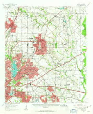
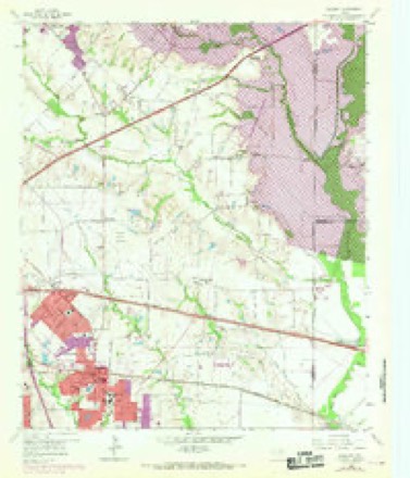
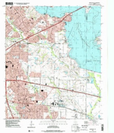
20 topographic sheets cover this place, the earliest surveyed in 1891 and the latest in 1995. It stands in the Northeast Dallas census division. It lies in ZIP code area 75182. The Survey maps it on the Mesquite quadrangle.
Topographic sheets covering this place
8 surveys from 20 printed sheetsMatched by testing this settlement's coordinate against the published boundary of every sheet in the United States Geological Survey's historical collection. Each opens the scanned sheet at the Survey.
- 1891 USGS Dallas quadrangle1:125000
- 1893 USGS Dallas quadrangle1:125000, 5 printings
- 1954 USGS Dallas quadrangle1:250000, 4 printings
- 1958 USGS Dallas quadrangle1:250000
- 1959 USGS Garland quadrangle1:62500
- 1959 USGS Mesquite quadrangle1:24000, 4 printings
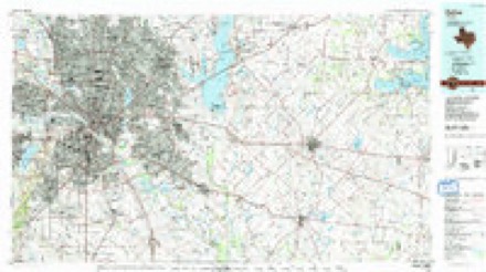
- 1986 USGS Dallas quadrangle1:100000, 3 printings
- 1995 USGS Mesquite quadrangle1:24000
Fires near this place
32 since 2010Regional context, not property-specific evidence. The federal wildfire occurrence database lists 32 fires within 5 miles of New Hope between 2010 and 2016, burning about 17 acres in total. None started naturally. None was recorded as arson. Distance is straight-line from the map coordinates, so a fire counted here may appear on a neighbouring settlement's page as well.
| Reported cause | Fires |
|---|---|
| Missing data/not specified/undetermined | 27 |
| Debris and open burning | 2 |
| Equipment and vehicle use | 2 |
| Recreation and ceremony | 1 |
The most recent of them, most recent first, with the day each was reported and the service that recorded it.
| Date | Cause | Size | Reported by | Name on the report |
|---|---|---|---|---|
| 29 September 2016 | Debris and open burning | under an acre | Texas A & M Forest Service | JAMAICA / LAGOW |
| 26 September 2015 | Missing data/not specified/undetermined | under an acre | Texas A & M Forest Service | LA PRADA |
| 9 August 2015 | Missing data/not specified/undetermined | under an acre | Texas A & M Forest Service | JOHN WEST |
| 6 August 2015 | Missing data/not specified/undetermined | under an acre | Texas A & M Forest Service | HOMEWAY |
| 5 August 2016 | Missing data/not specified/undetermined | under an acre | Texas A & M Forest Service | 2831 N MASTERS |
| 5 August 2015 | Missing data/not specified/undetermined | under an acre | Texas A & M Forest Service | FREEPORT |
| 15 August 2015 | Missing data/not specified/undetermined | under an acre | Texas A & M Forest Service | PARK VISTA |
| 13 August 2015 | Missing data/not specified/undetermined | under an acre | Texas A & M Forest Service | BARNES |
Settlements close enough to share some of these fires:
Storms near this place
8 since 2008Regional context, not property-specific evidence. The National Weather Service names New Hope in 8 storm reports between 2008 and 2024: 2 tornado, 2 flash flood, 2 hail, 1 flood. The reports record 11 deaths and 470 injuries. Each account below is quoted exactly as the forecast office filed it, from the NOAA Storm Events Database, and each date opens the federal record of that event.
| When | Event | Place named | Harm | What the report says |
|---|---|---|---|---|
| December 2015 | Tornado (EF4) | New Hope | 10 killed, 468 hurt, $26,000,000 | The Garland and Rowlett tornado began in Sunnyvale, where several mobile homes were destroyed along a wide and long path. The full tornado length was a little over 13 miles, with nearly ten miles within Dallas County. Nine people lost their lives in vehicles as the tornado crossed Interstate 30 at the President George Bush Turnpike. Another male died after sustaining injuries in a collapsed home in Rowlett. Eight of the 10 died that night, but one died on January 8th from his injuries, and another passed away on January 18th. The tornado affected nearly 600 homes in Dallas County, destroying nearly 400 of these homes. Twenty-two businesses were affected by this tornado, with one business being completely destroyed. |
| May 2015 | Flash Flood | New Hope | 1 killed, $90,000 | The Mesquite Fire Department responded to a call about vehicles being swept from the road by flood water on La Prada Drive, west of Interstate 635 in Mesquite. The vehicles had a total of five people in the cars, one of which drowned. |
| April 2012 | Tornado (EF0) | New Hope | 2 hurt, $300,000 | An EF-0 tornado with maximum estimated winds around 85 mph occurred in Mesquite. The tornado began near Independence Drive and Meadow Lane then tracked east. Minor roof damage was noted along the track of the tornado and several large trees were split or had large branches broken off. Near the end of the track on the east side of N Galloway Ave, a car service station sustained significant damage. The winds from the tornado penetrated the building through the large service doors. The roof was ripped off the building and the back wall collapsed. The path length of this tornado was 0.3 miles with a width of about 30 yards. Two people sustained minor injuries. |
| June 2017 | Hail | New Hope | $50,000 | A social media report indicated 2.5 inch diameter hail near the intersection of Interstate 30 and Highway 635. |
| May 2024 | Thunderstorm Wind | New Hope | $20,000 | A trained spotter reports tree limbs 10 to 15 inches in diameter down in Country Meadows neighborhood in Mesquite. Elsewhere, trees and fences were reported down across Mesquite. |
| March 2021 | Hail | New Hope | - | Significant hail accumulation was reported near the intersection of O Banion Road and Oates Road in Garland. The hail size ranged from less than half an inch up to nickel size. |
| May 2015 | Flash Flood | New Hope | - | A social media report indicated that water covers the yard and is up to porches near Hwy 635 and Oates Rd. |
| August 2008 | Flood | New Hope | - | Service roads were closed along I-30 from previous rainfall. |
Nearest settlements
The eight closest, with where each one stands in the county. Distances are straight-line, computed from the Geographic Names Information System coordinates.
| Map | Place | Distance | Sheets |
|---|---|---|---|
| Sunnyvale | 2.2 miles | 20 | |
| Tripp | 2.3 miles | 20 | |
| Rose Hill | 2.8 miles | 20 | |
| Mesquite | 3.3 miles | 20 | |
| Centerville | 4.6 miles | 22 | |
| Reinhardt | 5.2 miles | 21 | |
| Zacha Junction | 5.2 miles | 21 | |
| Balch Springs | 6.1 miles | 19 |
Provenance
This settlement is recorded in the Geographic Names Information System as feature 1378743. The sheet list is computed by point-in-boundary test against the United States Geological Survey's historical topographic inventory. Both are works of the United States government and carry no copyright under 17 U.S.C. 105.
Wildfire. Short, Karen C. 2022. Spatial wildfire occurrence data for the United States, 1992-2020 [FPA_FOD_20221014]. 6th Edition. Fort Collins, CO: Forest Service Research Data Archive. https://doi.org/10.2737/RDS-2013-0009.6 Collected with United States Government funding and usable without additional permissions or fees.
Storms. NOAA National Centers for Environmental Information, Storm Events Database https://www.ncei.noaa.gov/stormevents/ A work of the United States government, no copyright under 17 U.S.C. 105. Narratives are quoted verbatim from the National Weather Service report and are not edited or summarised.