 Block
BlockPasadena, Texas
13 topographic sheets cover this place, the earliest surveyed in 1915 and the latest in 1995. It stands in the Pasadena census division. It lies in ZIP code area 77502. The Survey maps it on the Pasadena quadrangle. 151,950 people lived here at the 2020 count. It stands 30 feet above sea level.
On record in Pasadena
Buildings and businesses the archive holds for this place. Each opens its own page, with the source record it came from.
On the National Register 3 records
- Pasadena Post Officelisted 2022
- Pomeroy Homesteadlisted 2003
- James and Jessie West Mansionlisted 1994
Population over time
2 figuresPasadena grew from 149,043 to 151,950 between 2010 and 2020. These are the recorded population figures Wikidata holds for this place, reached through the Geographic Names Information System number this page is keyed on rather than by name, so they belong to this place and not to another of the same name. Most are census counts, but not all are: an early figure may be a founding or settlement estimate, and an estimate published within five years of a census is left out. The change column is computed, and is left blank where more than 20 years separate a figure from the one before it, because a gap that long is not a change between two counts.
| Year | People | Change |
|---|---|---|
| 2010 | 149,043 | |
| 2020 | 151,950 | +2,907 (+2%) |
Topographic sheets covering this place
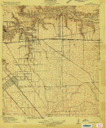
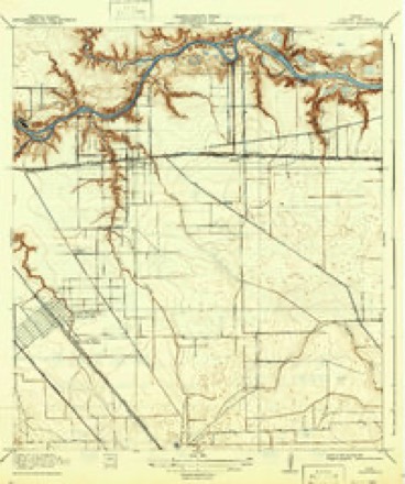
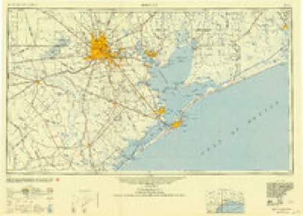
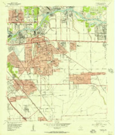
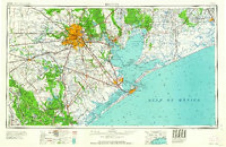
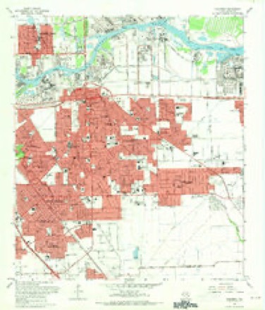
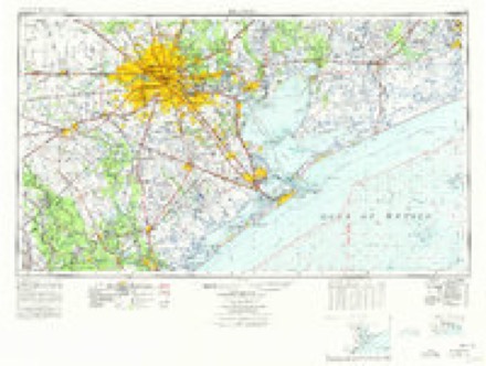
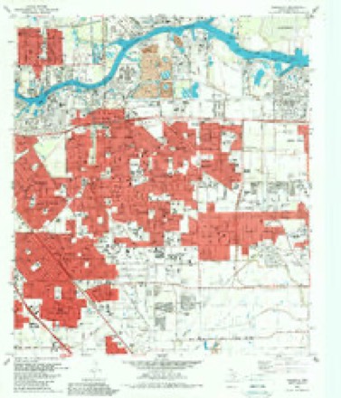
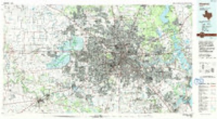
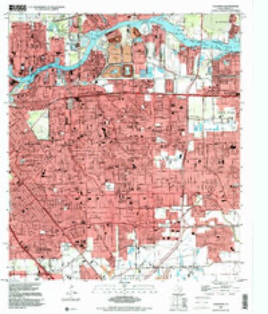
10 surveys from 13 printed sheetsMatched by testing this settlement's coordinate against the published boundary of every sheet in the United States Geological Survey's historical collection. Each opens the scanned sheet at the Survey.
- 1915 USGS Deepwater quadrangle1:24000
- 1919 USGS Deepwater quadrangle1:31680, 2 printings
- 1950 USGS Houston quadrangle1:250000
- 1955 USGS Pasadena quadrangle1:24000
- 1956 USGS Houston quadrangle1:250000, 2 printings
- 1967 USGS Pasadena quadrangle1:24000
- 1975 USGS Houston quadrangle1:250000, 2 printings
- 1982 USGS Pasadena quadrangle1:24000
- 1992 USGS Houston quadrangle1:100000
- 1995 USGS Pasadena quadrangle1:24000
Fires near this place
21 since 2014Regional context, not property-specific evidence. The federal wildfire occurrence database lists 21 fires within 5 miles of Pasadena between 2014 and 2020, burning about 15 acres in total. None started naturally. None was recorded as arson. Distance is straight-line from the map coordinates, so a fire counted here may appear on a neighbouring settlement's page as well.
| Reported cause | Fires |
|---|---|
| Missing data/not specified/undetermined | 20 |
| Debris and open burning | 1 |
The most recent of them, most recent first, with the day each was reported and the service that recorded it.
| Date | Cause | Size | Reported by | Name on the report |
|---|---|---|---|---|
| 14 August 2014 | Debris and open burning | 4.0 acres | Texas A & M Forest Service | MUTUAL AID |
| 13 August 2019 | Missing data/not specified/undetermined | under an acre | Texas A & M Forest Service | E023 |
| 11 August 2019 | Missing data/not specified/undetermined | under an acre | Texas A & M Forest Service | E052 |
| 9 July 2019 | Missing data/not specified/undetermined | under an acre | Texas A & M Forest Service | A36D26D70E29E36E52E61FM22HM2022L29L61M70SF24 |
| 4 July 2019 | Missing data/not specified/undetermined | under an acre | Texas A & M Forest Service | E029 |
| 24 July 2019 | Missing data/not specified/undetermined | under an acre | Texas A & M Forest Service | E023, E029 |
| 20 July 2019 | Missing data/not specified/undetermined | under an acre | Texas A & M Forest Service | E052 |
| 17 July 2019 | Missing data/not specified/undetermined | under an acre | Texas A & M Forest Service | E052, E061 |
Settlements close enough to share some of these fires:
Mines and quarries near this place
10 of 27 shownRegional context, not property-specific evidence. The federal mineral resources record lists 27 workings within 5 miles of Pasadena: 22 producers, 3 plants, 1 occurrence, 1 past producer. 25 still produce. What was taken out: Sand and Gravel, Construction, Stone, Crushed/Broken, Phosphorus-Phosphates, Clay. Distance is straight-line from the map coordinates, so a quarry counted here may appear on a neighbouring settlement's page as well.
| Where | Site | Commodity | Status | Recorded |
|---|---|---|---|---|
| Armco Steel Corp | Iron | Producer | ||
| Galena Park Mill | Barium-Barite | Producer | ||
| South Houston Salt Dome | Halite | Occurrence | 1934 | |
| (Facility) Atlantic Richfield Refinery | Sulfur | Plant | ||
| Charter International Oil Co | Sulfur | Producer | ||
| Galena Park Gypsum Plant | Gypsum-Anhydrite | Producer | ||
| U S Gypsum Calcining Plant | Gypsum-Anhydrite | Producer | ||
| Deepwater Clay Pit | Clay | Producer | ||
| Ideal Cement Clay Pit | Clay | Producer | ||
| Lone Star Clay Pit | Clay | Producer |
Storms near this place
41 since 1997Regional context, not property-specific evidence. The National Weather Service names Pasadena in 41 storm reports between 1997 and 2021: 16 thunderstorm wind, 9 hail, 6 tornado, 4 flash flood. No death or injury is recorded in these reports. Each account below is quoted exactly as the forecast office filed it, from the NOAA Storm Events Database, and each date opens the federal record of that event.
| When | Event | Place named | Harm | What the report says |
|---|---|---|---|---|
| January 1997 | Tornado (F1) | Pasadena | $12,000,000 | no account filed |
| October 2001 | Tornado (F2) | Pasadena | $3,750,000 | 120 homes, 3 apartment complexes, 2 schools, and some businesses damaged by a tornado. The tornado touched down near Fairmont and Shaver, moving northeast to near the intersection of Southmore and Red-Bluff Road. |
| November 2000 | Thunderstorm Wind | Pasadena | $400,000 | Wind damage near Fairmont Parkway and Country Road. Wall blown off side of strip center with awning blown off gas station. Minor roof damage to a few homes and businesses near the Country Briar subdivision. Numerous trees and fences down in area.A strong cold front swept across southeast Texas on the 24th, Thanksgiving night. Several small supercell thunderstorms developed and affected mainly Harris and Montgomery counties. Three tornadoes were observed (two F1 and one F0) along with a few reports of wind damage. |
| November 2000 | Tornado (F1) | Pasadena | $350,000 | Tornado touched down near intersection of Preston and Crenshaw. Roof blown off of home in Parkgate subdivision. Roof peeled off large storage building. Damage to windows and trailers at First Presbyterian Church. Fences and trees knocked over on western edge of adjoining neighborhood with portion of roof torn off Turner Elementary. |
| June 2004 | Hail | Pasadena | $100,000 | Hail at Pasadena Blvd and Red Bluff Road. |
| June 2021 | Thunderstorm Wind | Pasadena | $50,000 | An industrial building sustained significant damage from strong thunderstorm wind gusts. |
| November 2004 | Tornado (F0) | Pasadena | $40,000 | Minor roof and siding damage, fences and tree limbs down along Driftwood and Fairmont Streets. Several billboards along Fairmont Parkway were damaged. |
| September 2000 | Thunderstorm Wind | Pasadena | $40,000 | Numerous power poles down. |
| May 2020 | Tornado (EF0) | Pasadena | $30,000 | Damage along short NW to SE track parallel to Red Bluff Road. Eyewitness saw tornado. Numerous trees down. Damage to fences, carports. |
| December 1997 | Thunderstorm Wind | Pasadena | $30,000 | Strong storm moved west to east across the area producing wind damage in its path. Tree fell onto a house roof and a carport was downed on a car in Pasadena. Road signs bent along HWY 225 in La Porte. Powerlines blown down in Deer Park. Trees blown down in Baytown. |
| May 1999 | Thunderstorm Wind | Pasadena | $25,000 | Metal roof torn off at Crown Petroleum. |
| July 2006 | Lightning | Pasadena | $20,000 | Lightning strike caused a house fire. |
| April 2002 | Flash Flood | Pasadena | $20,000 | There was extensive street flooding and road closures in Pasadena, along Red Bluff, along State Highway 225, and at Spencer Highway. |
| October 2005 | Thunderstorm Wind | Pasadena | $18,000 | A carport blown into power lines cracked two poles and snapped one pole in half. |
| June 2008 | Thunderstorm Wind | Pasadena | $15,000 | Thunderstorm winds blew down a Dairy Queen roof sign near the intersection of Pasadena Boulevard and Strawberry Road. Numerous trees and power lines were downed across the area with some trees downed on residential homes. |
| September 2002 | Flash Flood | Pasadena | $15,000 | Flooding in Pasadena and Deer Park; many roads closed. |
| July 2005 | Thunderstorm Wind | Pasadena | $14,000 | Power lines down in west Pasadena. |
| March 2005 | Thunderstorm Wind | Pasadena | $10,000 | Shopping Center sustained roof damage at 4200 Fairmont Parkway. |
| March 2005 | Lightning | Pasadena | $10,000 | Lightning strike damaged residential home. |
| November 2004 | Thunderstorm Wind | Pasadena | $10,000 | Numerous power lines down. |
| July 1998 | Thunderstorm Wind | Pasadena | $10,000 | Powerlines and trees down in downtown Pasadena. |
| March 2003 | Thunderstorm Wind | Pasadena | $8,000 | Roof blown off and powerlines down. |
| November 2004 | Tornado (F0) | Pasadena | $5,500 | Power pole down at intersection of Red Bluff and Tammer Roads. |
| March 2005 | Hail | Pasadena | $5,000 | no account filed |
| April 1997 | Hail | Pasadena | $5,000 | no account filed |
| April 1997 | Hail | Pasadena | $5,000 | no account filed |
| March 2005 | Thunderstorm Wind | Pasadena | $3,500 | 18 inch diameter tree snapped in half at 4416 Fairmont Parkway. |
| August 2003 | Flash Flood | Pasadena | $3,000 | Flooding in Pasadena. |
| April 2003 | Hail | Pasadena | $3,000 | no account filed |
| March 2005 | Thunderstorm Wind | Pasadena | $2,000 | Tree down at 3700 Bay Area Blvd. |
| April 2003 | Hail | Pasadena | $2,000 | no account filed |
| May 2001 | Hail | Pasadena | $2,000 | no account filed |
| October 2018 | Thunderstorm Wind | Pasadena | - | Thunderstorm winds downed a tree and some power lines. |
| August 2017 | Flash Flood | Pasadena | - | Numerous roads and highways were still closed due to high flood waters including, but not limited to, the Loop 610 near Highway 225, SH 249 in northwestern Houston and FM 1960 near Highway 69.||Catastrophic flooding occurred on nearly every one of the 22 watersheds in Harris County. 10 out of the 19 bayous in the county reached record crests and flooding. There was widespread flooding along Buffalo Bayou and upstream and downstream of both Addicks and Barkers Reservoirs due to record level pool elevations. There was major flooding of hundreds of homes within numerous neighboring subdivisions along the San Jacinto River and the East Fork of the San Jacinto River. Lake Conroe's releases and backwater flow from Lake Houston also contributed to the widespread flooding across the northern and northeastern sectors of the county. |
| March 2016 | Hail | Pasadena | - | Quarter sized hail was observed at the intersection of Highway 225 and Richey Street. |
| October 2014 | Heavy Rain | Pasadena | - | Heavy rain caused some flooding at the intersection of Pasadena Freeway 225 and Bearle Street. |
| May 2010 | Hail | Pasadena | - | There were reports of golf ball size hail at the Red Bluff Road and Highway 225 intersection. |
| April 2008 | Thunderstorm Wind | Pasadena | - | One tree was reported downed by thunderstorm wind gusts. |
| May 2004 | Funnel Cloud | Pasadena | - | Funnel cloud at Beltway 8 and Hwy 225. |
| July 2007 | Funnel Cloud | Pasadena | - | no account filed |
| September 2001 | Funnel Cloud | Pasadena | - | no account filed |
Nearest settlements
The eight closest, with where each one stands in the county. Distances are straight-line, computed from the Geographic Names Information System coordinates.
| Map | Place | Distance | Sheets |
|---|---|---|---|
| Tarrytown | 1.0 miles | 13 | |
| Easthaven | 1.0 miles | 13 | |
| Pasadena Gardens | 1.1 miles | 13 | |
| Revlon | 1.3 miles | 13 | |
| Parkview Manor | 1.3 miles | 13 | |
| Stadium Estates | 1.4 miles | 13 | |
| Meadow Creek Village | 1.6 miles | 13 | |
| Parkview Estates | 1.8 miles | 13 |
Elsewhere
Matched on this settlement's Geographic Names Information System number rather than its name, so it cannot be a different place of the same name in another state.
| Wikipedia article on Pasadena | An encyclopaedic summary. Its text is share-alike, so it is linked here rather than copied. |
| Wikidata item Q51695 | The structured record the population and elevation above come from. Public domain (CC0). |
Provenance
This settlement is recorded in the Geographic Names Information System as feature 1343631. The sheet list is computed by point-in-boundary test against the United States Geological Survey's historical topographic inventory. Both are works of the United States government and carry no copyright under 17 U.S.C. 105.
Wildfire. Short, Karen C. 2022. Spatial wildfire occurrence data for the United States, 1992-2020 [FPA_FOD_20221014]. 6th Edition. Fort Collins, CO: Forest Service Research Data Archive. https://doi.org/10.2737/RDS-2013-0009.6 Collected with United States Government funding and usable without additional permissions or fees.
Mines and quarries. USGS Mineral Resources Data System (MRDS) https://mrdata.usgs.gov/mrds/ A work of the United States government, no copyright under 17 U.S.C. 105.
Storms. NOAA National Centers for Environmental Information, Storm Events Database https://www.ncei.noaa.gov/stormevents/ A work of the United States government, no copyright under 17 U.S.C. 105. Narratives are quoted verbatim from the National Weather Service report and are not edited or summarised.