 Block
BlockPine Crest, Texas
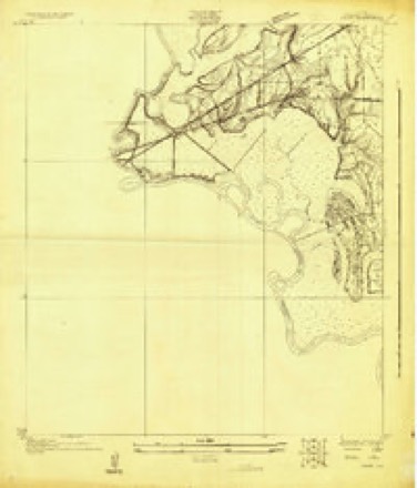
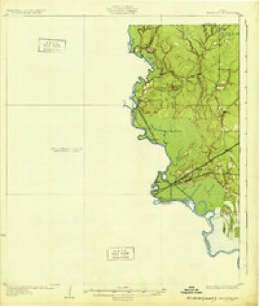
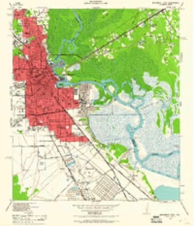
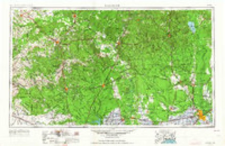
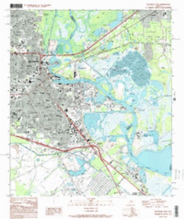
19 topographic sheets cover this place, the earliest surveyed in 1926 and the latest in 1994. It stands in the Beaumont census division. It lies in ZIP code area 77703. The Survey maps it on the Beaumont East quadrangle.
Topographic sheets covering this place
9 surveys from 19 printed sheetsMatched by testing this settlement's coordinate against the published boundary of every sheet in the United States Geological Survey's historical collection. Each opens the scanned sheet at the Survey.
- 1926 USGS Vidor quadrangle1:24000
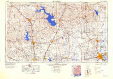
- 1932 USGS Beaumont quadrangle1:62500, 2 printings
- 1943 USGS Beaumont East quadrangle1:24000
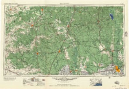
- 1954 USGS Beaumont quadrangle1:250000, 3 printings
- 1957 USGS Beaumont quadrangle1:250000
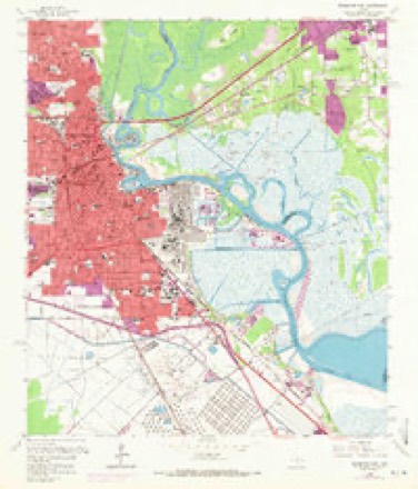
- 1960 USGS Beaumont East quadrangle1:24000, 6 printings
- 1984 USGS Beaumont quadrangle1:250000, 3 printings
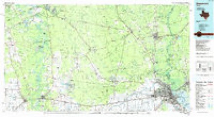
- 1986 USGS Beaumont quadrangle1:100000
- 1994 USGS Beaumont East quadrangle1:24000
Fires near this place
22 since 1992Regional context, not property-specific evidence. The federal wildfire occurrence database lists 22 fires within 5 miles of Pine Crest between 1992 and 2017, burning about 87 acres in total. None started naturally. 3 were recorded as arson. Distance is straight-line from the map coordinates, so a fire counted here may appear on a neighbouring settlement's page as well.
| Reported cause | Fires |
|---|---|
| Debris and open burning | 10 |
| Missing data/not specified/undetermined | 6 |
| Arson/incendiarism | 3 |
| Railroad operations and maintenance | 1 |
| Equipment and vehicle use | 1 |
| Recreation and ceremony | 1 |
The most recent of them, most recent first, with the day each was reported and the service that recorded it.
| Date | Cause | Size | Reported by | Name on the report |
|---|---|---|---|---|
| 27 August 2017 | Recreation and ceremony | 1.0 acres | Texas A & M Forest Service | TEST |
| 10 May 2011 | Railroad operations and maintenance | 10 acres | Livingston Area | LIVINGSTON - 379 |
| 25 April 2012 | Missing data/not specified/undetermined | under an acre | Texas A & M Forest Service | SMALL HAY FIRE |
| 23 April 1994 | Arson/incendiarism | under an acre | Big Thicket National Park | TRASH CAN2 |
| 4 March 2006 | Debris and open burning | 15 acres | Texas A & M Forest Service | 536 R 5 |
| 22 March 1994 | Arson/incendiarism | under an acre | Big Thicket National Park | TRASH CAN |
| 21 March 2002 | Debris and open burning | 2.0 acres | Texas A & M Forest Service | WOODVILLE - 77 |
| 14 March 2010 | Missing data/not specified/undetermined | under an acre | Big Thicket National Park | CONFLUENCE |
Settlements close enough to share some of these fires:
Mines and quarries near this place
7 within 5 milesRegional context, not property-specific evidence. The federal mineral resources record lists 7 workings within 5 miles of Pine Crest: 7 producers. All of them still produce. What was taken out: Sand and Gravel, Construction, Silica, Bromine. Distance is straight-line from the map coordinates, so a quarry counted here may appear on a neighbouring settlement's page as well.
| Where | Site | Commodity | Status | Recorded |
|---|---|---|---|---|
| Beaumont Plant | Bromine | Producer | ||
| Rose City Pit | Silica | Producer | ||
| Rose City Sand Pit | Silica | Producer | ||
| Beeco Pit | Sand and Gravel, Construction | Producer | Sand | |
| L O Block Sand Co | Sand and Gravel, Construction | Producer | ||
| Rose City Pit | Sand and Gravel, Construction | Producer | Sand | |
| Unnamed Pit | Sand and Gravel, Construction | Producer | Sand |
Storms near this place
14 since 2010Regional context, not property-specific evidence. The National Weather Service names Pine Crest in 14 storm reports between 2010 and 2025: 6 flash flood, 3 thunderstorm wind, 2 lightning, 1 heavy rain. No death or injury is recorded in these reports. Each account below is quoted exactly as the forecast office filed it, from the NOAA Storm Events Database, and each date opens the federal record of that event.
| When | Event | Place named | Harm | What the report says |
|---|---|---|---|---|
| July 2011 | Lightning | Pine Crest | $250,000 | Excessive lightning caused a fire at the Stone Hearth Apartments. One unit with eight apartments was on fire and the roof partially collapsed. |
| May 2020 | Flash Flood | Pine Crest | $75,000 | Multiple roads in Beaumont were flooded and closed. Some vehicles in a car dealership were flooded and water approached several homes and businesses. A home rain gauge in the area recorded 5.72 inches during the event. |
| January 2023 | Flash Flood | Pine Crest | $10,000 | Streets were flooded and cars were stalled due to heavy rain. |
| February 2017 | Thunderstorm Wind | Pine Crest | $10,000 | A tree fell and partially damaged 2 homes and a carport and car in North Beaumont. A few other isolated trees were also reported down in the area. |
| August 2014 | Lightning | Pine Crest | $5,000 | Lightning struck a tree in North Beaumont which then fell on a house damaging the kitchen. Three people were inside the home when the tree fell, but no one was injured. |
| August 2010 | Thunderstorm Wind | Pine Crest | $5,000 | KFDM-TV reported trees blown down on Helbig Road, with more than 4400 customers losing power in Jefferson County. |
| June 2025 | Flash Flood | Pine Crest | - | Multiple reports of minor street flooding were received from Beaumont. |
| January 2024 | Flash Flood | Pine Crest | - | Multiple ditch and stream gages indicated flooding on roadways from Beaumont to Fannett. |
| May 2024 | Flash Flood | Pine Crest | - | Heavy rain flooded underpasses in Beaumont. Twin City Highway flooded through Central Gardens and multiple streets also flooded in Nederland. |
| April 2023 | Hail | Pine Crest | - | An MPING report of hail to 1 inch in diameter. |
| May 2023 | Thunderstorm Wind | Pine Crest | - | A large branch was broken off a tree. |
| September 2021 | Flash Flood | Pine Crest | - | Multiple streets across Jefferson County were flooded with underpasses closed while Nicholas moved across the region. |
| September 2017 | Flood | Pine Crest | - | Record or near record crests along the Lower Neches River occurred during Tropical Storm Harvey. Areas along the river stayed flooded during much of the first week of September as the Neches remained above major flood stage. This affected some refineries near the river and also some parks, roadways, and residences. The crest finally moved through Sabine Lake during the 3rd. |
| July 2012 | Heavy Rain | Pine Crest | - | The Eastex Freeway service road between East Lucas and Delaware was flooded due heavy rain. |
Nearest settlements
The eight closest, with where each one stands in the county. Distances are straight-line, computed from the Geographic Names Information System coordinates.
| Map | Place | Distance | Sheets |
|---|---|---|---|
| Helbig | 1.3 miles | 14 | |
| Calder Highlands | 2.0 miles | 15 | |
| Rosedale | 2.5 miles | 14 | |
| Beaumont | 2.6 miles | 19 | |
| Calder Terrace | 2.9 miles | 15 | |
| Gilburg | 3.0 miles | 14 | |
| Caldwood | 3.5 miles | 15 | |
| Mount Evergreen | 3.6 miles | 14 |
Provenance
This settlement is recorded in the Geographic Names Information System as feature 1375462. The sheet list is computed by point-in-boundary test against the United States Geological Survey's historical topographic inventory. Both are works of the United States government and carry no copyright under 17 U.S.C. 105.
Wildfire. Short, Karen C. 2022. Spatial wildfire occurrence data for the United States, 1992-2020 [FPA_FOD_20221014]. 6th Edition. Fort Collins, CO: Forest Service Research Data Archive. https://doi.org/10.2737/RDS-2013-0009.6 Collected with United States Government funding and usable without additional permissions or fees.
Mines and quarries. USGS Mineral Resources Data System (MRDS) https://mrdata.usgs.gov/mrds/ A work of the United States government, no copyright under 17 U.S.C. 105.
Storms. NOAA National Centers for Environmental Information, Storm Events Database https://www.ncei.noaa.gov/stormevents/ A work of the United States government, no copyright under 17 U.S.C. 105. Narratives are quoted verbatim from the National Weather Service report and are not edited or summarised.