 Block
BlockStandart, Texas
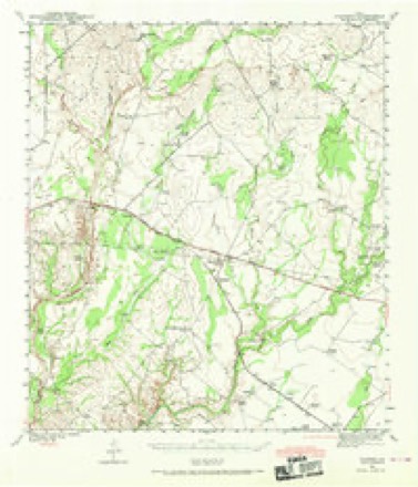
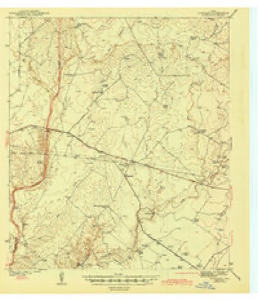
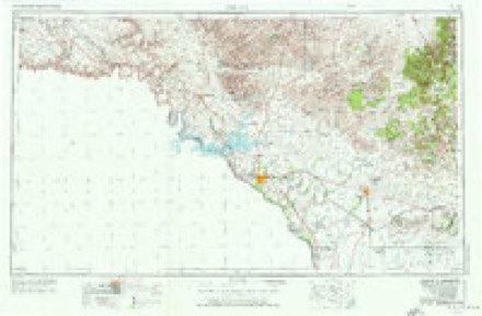
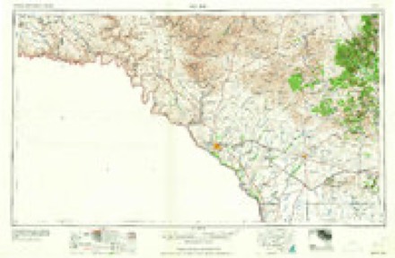
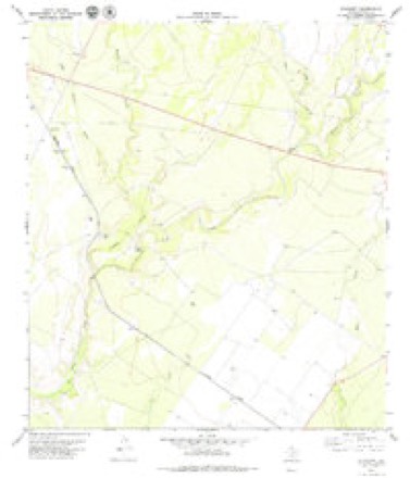
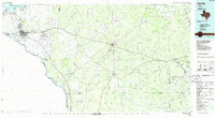
9 topographic sheets cover this place, the earliest surveyed in 1941 and the latest in 1986. It stands in the Brackettville census division. It lies in ZIP code area 78832. The Survey maps it on the Standart quadrangle.
Topographic sheets covering this place
6 surveys from 9 printed sheetsMatched by testing this settlement's coordinate against the published boundary of every sheet in the United States Geological Survey's historical collection. Each opens the scanned sheet at the Survey.
- 1941 USGS Standart quadrangle1:62500, 2 printings
- 1943 USGS Standart quadrangle1:62500
- 1958 USGS Del Rio quadrangle1:250000, 2 printings
- 1964 USGS Del Rio quadrangle1:250000
- 1979 USGS Standart quadrangle1:24000
- 1986 USGS Del Rio quadrangle1:100000, 2 printings
Storms near this place
7 since 2013Regional context, not property-specific evidence. The National Weather Service names Standart in 7 storm reports between 2013 and 2026: 4 flash flood, 2 hail, 1 tornado. No death or injury is recorded in these reports. Each account below is quoted exactly as the forecast office filed it, from the NOAA Storm Events Database, and each date opens the federal record of that event.
| When | Event | Place named | Harm | What the report says |
|---|---|---|---|---|
| March 2026 | Tornado (EFU) | Standart | - | A brief tornado occurred over open country north of US-90 as observed and photographed by storm spotters along US-90. The tornado appears to have remained over open country with no damage reported. With no apparent damage, we could not determine a path length or width. |
| May 2020 | Hail | Standart | - | A thunderstorm produced ping pong ball size hail along RM2523 south of Carta Valley. |
| June 2019 | Flash Flood | Standart | - | Thunderstorms produced heavy rain that led to flash flooding closing FM 2523 north of FM 3008. |
| April 2017 | Flash Flood | Standart | - | Thunderstorms produced heavy rain that led to flash flooding closing RM3008 along Perdido Creek northeast of Amanda. |
| September 2016 | Flash Flood | Standart | - | Thunderstorms produced heavy rain that caused flash flooding closing RM3008 in northwestern Kinney County. |
| October 2015 | Flash Flood | Standart | - | Thunderstorms produced heavy rain that caused flash flooding closing FM693 between Hwy90 and Hwy277. |
| March 2013 | Hail | Standart | - | The Border Patrol reported a thunderstorm that produced golf ball size hail on Highway 277 at Sycamore Creek. |
Nearest settlements
The eight closest, with where each one stands in the county. Distances are straight-line, computed from the Geographic Names Information System coordinates.
| Map | Place | Distance | Sheets |
|---|---|---|---|
| Amanda | 2.9 miles | 9 | |
| Pinto | 4.5 miles | 9 | |
| Fort Clark Springs | 10.7 miles | 11 | |
| Brackettville | 10.8 miles | 11 | |
| Alamo Village | 13.2 miles | 11 | |
| Spofford | 15.8 miles | 11 | |
| Anacacho | 19.8 miles | 11 | |
| Odlaw | 25.0 miles | 12 |
Elsewhere
Matched on this settlement's Geographic Names Information System number rather than its name, so it cannot be a different place of the same name in another state.
| Wikidata item Q122597038 | The structured record the population and elevation above come from. Public domain (CC0). |
Provenance
This settlement is recorded in the Geographic Names Information System as feature 1380599. The sheet list is computed by point-in-boundary test against the United States Geological Survey's historical topographic inventory. Both are works of the United States government and carry no copyright under 17 U.S.C. 105.
Storms. NOAA National Centers for Environmental Information, Storm Events Database https://www.ncei.noaa.gov/stormevents/ A work of the United States government, no copyright under 17 U.S.C. 105. Narratives are quoted verbatim from the National Weather Service report and are not edited or summarised.