 Block
BlockSullivan City, Texas
11 topographic sheets cover this place, the earliest surveyed in 1949 and the latest in 2002. It stands in the Sullivan City census division. It lies in ZIP code area 78595. It stands on Kathy Creek. The Survey maps it on the Sullivan City quadrangle. 3,908 people lived here at the 2020 count. It stands 200 feet above sea level.
Population over time
2 figuresSullivan City fell from 4,002 to 3,908 between 2010 and 2020. These are the recorded population figures Wikidata holds for this place, reached through the Geographic Names Information System number this page is keyed on rather than by name, so they belong to this place and not to another of the same name. Most are census counts, but not all are: an early figure may be a founding or settlement estimate, and an estimate published within five years of a census is left out. The change column is computed, and is left blank where more than 20 years separate a figure from the one before it, because a gap that long is not a change between two counts.
| Year | People | Change |
|---|---|---|
| 2010 | 4,002 | |
| 2020 | 3,908 | -94 (-2%) |
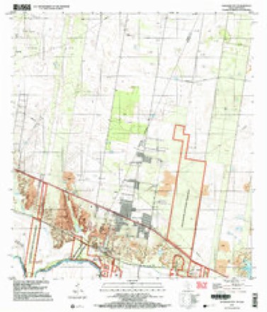
Topographic sheets covering this place
9 surveys from 11 printed sheetsMatched by testing this settlement's coordinate against the published boundary of every sheet in the United States Geological Survey's historical collection. Each opens the scanned sheet at the Survey.
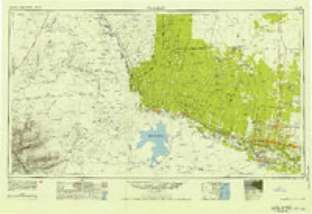
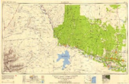
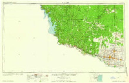
- 1949 USGS Mc Allen quadrangle1:250000
- 1954 USGS McAllen quadrangle1:250000
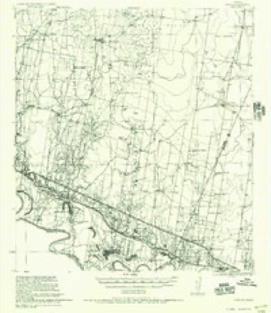
- 1956 USGS Garcias quadrangle1:62500
- 1957 USGS Mc Allen quadrangle1:250000, 2 printings
- 1962 USGS McAllen quadrangle1:250000
- 1965 USGS Sullivan City quadrangle1:24000, 2 printings
- 1983 USGS Mc Allen quadrangle1:250000
- 1992 USGS Mc Allen quadrangle1:100000
- 2002 USGS Sullivan City quadrangle1:24000
Fires near this place
198 since 1994Regional context, not property-specific evidence. The federal wildfire occurrence database lists 198 fires within 5 miles of Sullivan City between 1994 and 2020, burning about 3,000 acres in total. 4 started naturally. 16 were recorded as arson. Distance is straight-line from the map coordinates, so a fire counted here may appear on a neighbouring settlement's page as well.
| Reported cause | Fires |
|---|---|
| Debris and open burning | 106 |
| Missing data/not specified/undetermined | 57 |
| Arson/incendiarism | 16 |
| Equipment and vehicle use | 10 |
| Railroad operations and maintenance | 4 |
| Natural | 4 |
| Recreation and ceremony | 1 |
The most recent of them, most recent first, with the day each was reported and the service that recorded it.
| Date | Cause | Size | Reported by | Name on the report |
|---|---|---|---|---|
| 7 September 2015 | Debris and open burning | 5.0 acres | Texas A & M Forest Service | PIPELINE ROAD |
| 7 September 2011 | Debris and open burning | 2.0 acres | Texas A & M Forest Service | BENITO ST. |
| 6 September 2009 | Missing data/not specified/undetermined | 12 acres | Lower Rio Grande Valley National Wildlife Refuge | BURNING BARREL |
| 29 September 2000 | Debris and open burning | 100 acres | Lower Rio Grande Valley National Wildlife Refuge | ROXANNE |
| 27 September 2005 | Debris and open burning | 1.0 acres | Texas A & M Forest Service | not named |
| 26 September 2017 | Debris and open burning | 3.0 acres | Texas A & M Forest Service | OLD MILITARY RD |
| 22 September 2020 | Debris and open burning | 1.0 acres | Texas A & M Forest Service | QUEZADA RD. |
| 21 September 2017 | Equipment and vehicle use | 20 acres | Texas A & M Forest Service | OLD MILITARY RD |
Settlements close enough to share some of these fires:
Mines and quarries near this place
4 within 5 milesRegional context, not property-specific evidence. The federal mineral resources record lists 4 workings within 5 miles of Sullivan City: 2 past producers, 1 producer, 1 unknown. 1 still produces. What was taken out: Sand and Gravel, Construction. Distance is straight-line from the map coordinates, so a quarry counted here may appear on a neighbouring settlement's page as well.
| Where | Site | Commodity | Status | Recorded |
|---|---|---|---|---|
| Spaulding Pit | Sand and Gravel, Construction | Producer | Gravel, Sand | |
| Spaulding Plant | Sand and Gravel, Construction | Past Producer | ||
| Sullivan City | Sand and Gravel, Construction | Unknown | ||
| Unnamed Pits | Sand and Gravel, Construction | Past Producer | Gravel, Sand |
Storms near this place
7 since 1997Regional context, not property-specific evidence. The National Weather Service names Sullivan City in 7 storm reports between 1997 and 2020: 3 thunderstorm wind, 3 hail, 1 heavy rain. No death or injury is recorded in these reports. Each account below is quoted exactly as the forecast office filed it, from the NOAA Storm Events Database, and each date opens the federal record of that event.
| When | Event | Place named | Harm | What the report says |
|---|---|---|---|---|
| June 2020 | Thunderstorm Wind | Sullivan City | $50,000 | A quick-developing severe thunderstorm formed in the farm and ranchlands of extreme southwestern Hidalgo County along the Starr County line around 530 PM on June 18th, then raced through Sullivan City before crossing the Rio Grande into northern Tamaulipas, Mexico. The storm produced damaging straight-line winds at a colonia in unincorporated Hidalgo County just north of the city limits. Nine residences had partial or total roof damage, three recreational vehicles were flipped, and at least three dozen mesquite trees had a combination of large limbs blown down or were broken/cracked at the base. All damage was facing to the south or south-southwest, in the direction of the storm motion. Each residence was a manufactured home or mobile trailer; one was uninhabited, and one was tilted after being blown off of its pier/block foundation with no visible anchorage. All of the damaged buildings had poor to very poor roof connections.||Each of the recreational vehicles was not anchored properly to the ground. Two were older and rusted, but a third was newer but only sitting on jack pallets. The third vehicle weighed more than three tons, and was a key reason for the top wind speed estimate of 70 mph. A nearby older construction manufactured single-wide home was undamaged, and nearby power lines/poles and mesquite trees had no visible damage. |
| March 1999 | Thunderstorm Wind | Sullivan City | $5,000 | Extensive power line damage. |
| May 1997 | Thunderstorm Wind | Sullivan City | $1,000 | no account filed |
| June 2020 | Hail | Sullivan City | - | Residents impacted by the same pulse-severe storm that damaged nine homes in a colonia along the Hidalgo/Starr County line just northwest of Sullivan City reported a brief period of hail that accompanied the wind. Hail ranged from 1 inch to 1.75 inch (golfball size) in diameter. |
| May 2009 | Heavy Rain | Sullivan City | - | A cooperative observer reported 3.18 inches of rain in less than an hour near La Joya from a thunderstorm moving quickly through. The public reported localized minor flooding in this area. |
| April 2004 | Hail | Sullivan City | - | Hail three-quarters of an inch in diameter was reported by the local police. |
| February 1998 | Hail | Sullivan City | - | no account filed |
Nearest settlements
The eight closest, with where each one stands in the county. Distances are straight-line, computed from the Geographic Names Information System coordinates.
| Map | Place | Distance | Sheets |
|---|---|---|---|
| Colonia San Miguel | 0.2 miles | 11 | |
| Vales Colonia | 0.2 miles | 11 | |
| Las Cuevas Number 2 Colonia | 0.3 miles | 11 | |
| Benavides Colonia Number 2 | 0.3 miles | 11 | |
| Las Cuevas Colonia | 0.3 miles | 11 | |
| Colonia Rafael | 0.3 miles | 11 | |
| Saint Claire Fisher Colonia | 0.4 miles | 11 | |
| Villa Estates Colonia | 0.5 miles | 11 |
Elsewhere
Matched on this settlement's Geographic Names Information System number rather than its name, so it cannot be a different place of the same name in another state.
| Wikipedia article on Sullivan City | An encyclopaedic summary. Its text is share-alike, so it is linked here rather than copied. |
| Wikidata item Q980265 | The structured record the population and elevation above come from. Public domain (CC0). |
Provenance
This settlement is recorded in the Geographic Names Information System as feature 1348049. The sheet list is computed by point-in-boundary test against the United States Geological Survey's historical topographic inventory. Both are works of the United States government and carry no copyright under 17 U.S.C. 105.
Wildfire. Short, Karen C. 2022. Spatial wildfire occurrence data for the United States, 1992-2020 [FPA_FOD_20221014]. 6th Edition. Fort Collins, CO: Forest Service Research Data Archive. https://doi.org/10.2737/RDS-2013-0009.6 Collected with United States Government funding and usable without additional permissions or fees.
Mines and quarries. USGS Mineral Resources Data System (MRDS) https://mrdata.usgs.gov/mrds/ A work of the United States government, no copyright under 17 U.S.C. 105.
Storms. NOAA National Centers for Environmental Information, Storm Events Database https://www.ncei.noaa.gov/stormevents/ A work of the United States government, no copyright under 17 U.S.C. 105. Narratives are quoted verbatim from the National Weather Service report and are not edited or summarised.