 Block
BlockTornillo, Texas
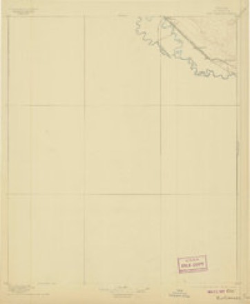
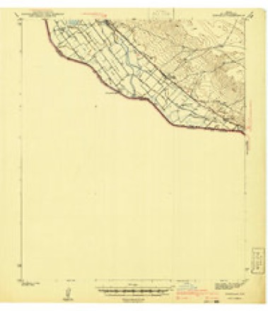
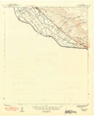
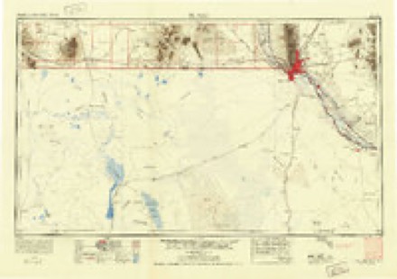
15 topographic sheets cover this place, the earliest surveyed in 1896 and the latest in 1985. It stands in the El Paso East census division. It lies in ZIP code area 79853. The Survey maps it on the Tornillo quadrangle. 1,432 people lived here at the 2020 count. It stands 3,586 feet above sea level.
Population over time
2 figuresTornillo fell from 1,568 to 1,432 between 2010 and 2020. These are the recorded population figures Wikidata holds for this place, reached through the Geographic Names Information System number this page is keyed on rather than by name, so they belong to this place and not to another of the same name. Most are census counts, but not all are: an early figure may be a founding or settlement estimate, and an estimate published within five years of a census is left out. The change column is computed, and is left blank where more than 20 years separate a figure from the one before it, because a gap that long is not a change between two counts.
| Year | People | Change |
|---|---|---|
| 2010 | 1,568 | |
| 2020 | 1,432 | -136 (-9%) |
Topographic sheets covering this place
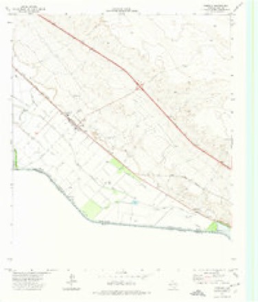
9 surveys from 15 printed sheetsMatched by testing this settlement's coordinate against the published boundary of every sheet in the United States Geological Survey's historical collection. Each opens the scanned sheet at the Survey.
- 1896 USGS Rio Grande quadrangle1:125000, 4 printings
- 1941 USGS Tornillo quadrangle1:62500
- 1945 USGS Tornillo quadrangle1:62500, 2 printings
- 1953 USGS El Paso quadrangle1:250000
- 1959 USGS El Paso quadrangle1:250000, 2 printings
- 1964 USGS El Paso quadrangle1:250000
- 1965 USGS El Paso quadrangle1:250000
- 1972 USGS Tornillo quadrangle1:24000
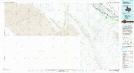
- 1985 USGS Tornillo quadrangle1:100000, 2 printings
Storms near this place
6 since 2002Regional context, not property-specific evidence. The National Weather Service names Tornillo in 6 storm reports between 2002 and 2014: 6 hail. No death or injury is recorded in these reports. Each account below is quoted exactly as the forecast office filed it, from the NOAA Storm Events Database, and each date opens the federal record of that event.
| When | Event | Place named | Harm | What the report says |
|---|---|---|---|---|
| October 2006 | Hail | Tornillo | $20,000 | Golf ball size hail accumulated several inches, with strong winds blowing the hail into drifts more than 2 feet high. Driving was extremely hazardous on I-10, and crops suffered extensive damage. A funnel cloud was also observed. |
| April 2014 | Hail | Tornillo | - | Hail damaged recently sprouted pecan trees. |
| June 2013 | Hail | Tornillo | - | Mostly nickel sized hail with quarters mixed in. |
| April 2010 | Hail | Tornillo | - | A report was received of up to one inch diameter hail in Tornillo. |
| October 2002 | Hail | Tornillo | - | Penny size hail covered the ground at Tornillo Middle School. |
| May 2004 | Hail | Tornillo | - | no account filed |
Nearest settlements
The eight closest, with where each one stands in the county. Distances are straight-line, computed from the Geographic Names Information System coordinates.
| Map | Place | Distance | Sheets |
|---|---|---|---|
| Alamo Alto | 4.4 miles | 15 | |
| Fabens | 5.4 miles | 16 | |
| Sanchez Colonia | 6.0 miles | 16 | |
| Isla | 6.9 miles | 15 | |
| Cuadrilla | 8.5 miles | 16 | |
| Morning Glory Manor Colonia | 10.9 miles | 16 | |
| Morning Glory | 10.9 miles | 16 | |
| Sunshine Acres Colonia | 11.0 miles | 16 |
Elsewhere
Matched on this settlement's Geographic Names Information System number rather than its name, so it cannot be a different place of the same name in another state.
| Wikipedia article on Tornillo | An encyclopaedic summary. Its text is share-alike, so it is linked here rather than copied. |
| Wikidata item Q978238 | The structured record the population and elevation above come from. Public domain (CC0). |
Provenance
This settlement is recorded in the Geographic Names Information System as feature 1370023. The sheet list is computed by point-in-boundary test against the United States Geological Survey's historical topographic inventory. Both are works of the United States government and carry no copyright under 17 U.S.C. 105.
Storms. NOAA National Centers for Environmental Information, Storm Events Database https://www.ncei.noaa.gov/stormevents/ A work of the United States government, no copyright under 17 U.S.C. 105. Narratives are quoted verbatim from the National Weather Service report and are not edited or summarised.