 Block
From the record
4 National Register listings published here.
Sources: the National Register database, National Park Service
27 topographic sheets cover 4 settlements here, and 4 properties are on the National Register of Historic Places.
4 National Register listings published here.
Sources: the National Register database, National Park Service
Taken for the Office of War Information and the Farm Security Administration, who photographed the country between 1935 and 1944. Works of United States government photographers, with no known restriction on use. Each opens its catalogue record.
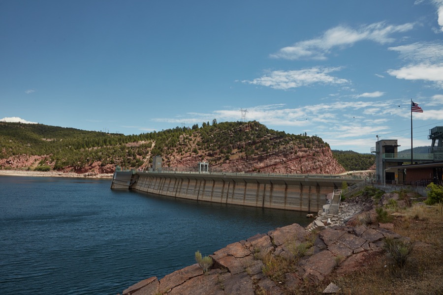
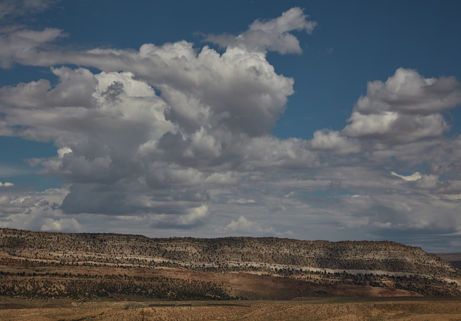
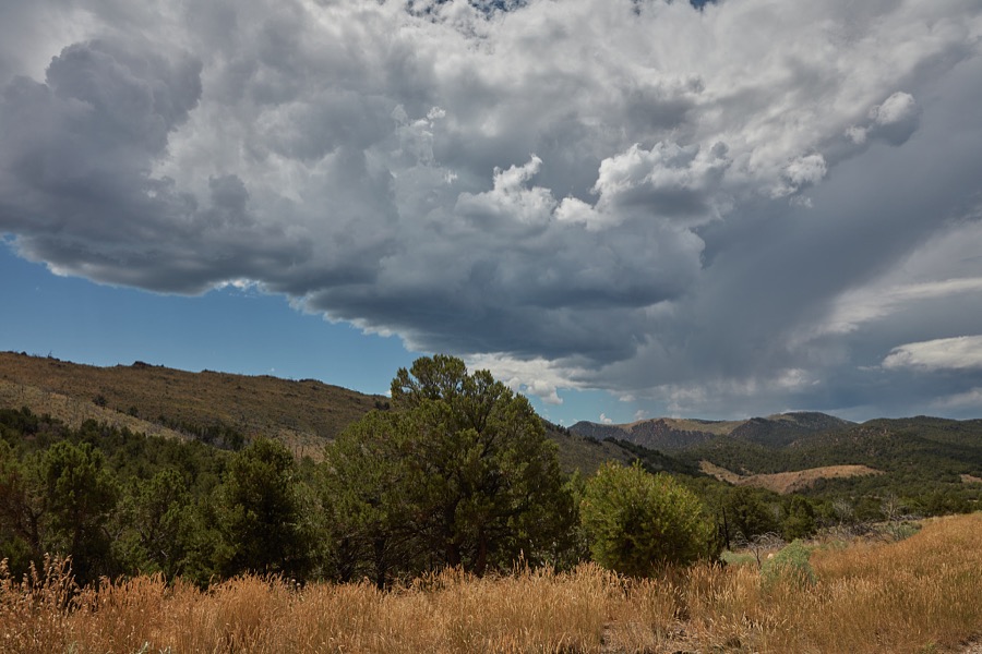
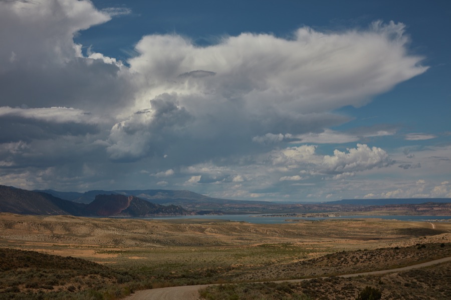
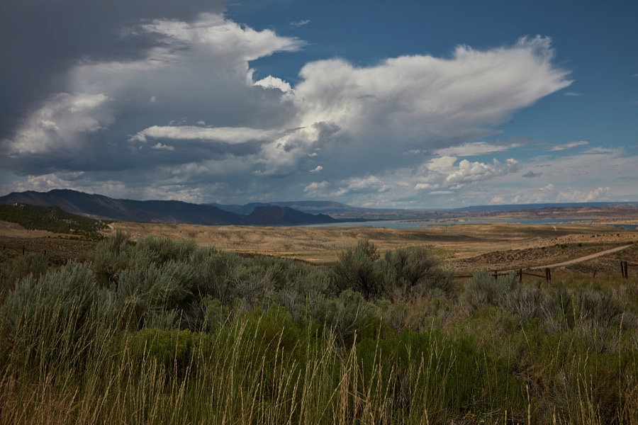
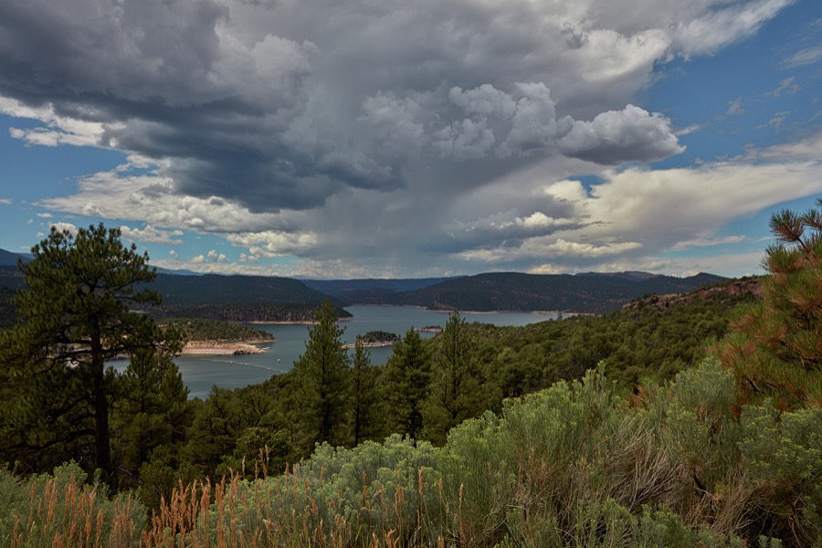
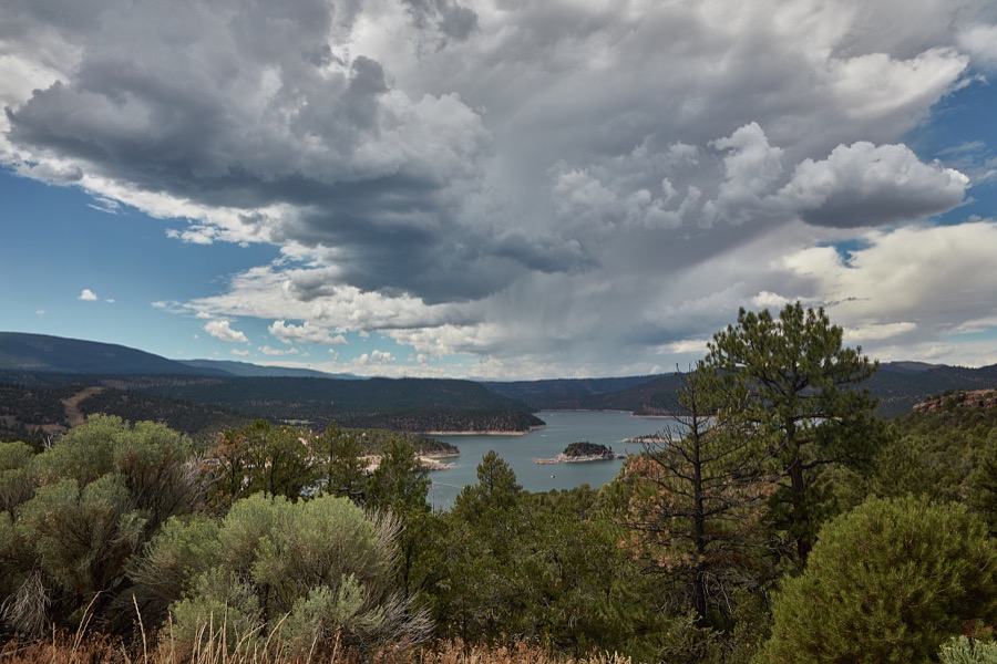
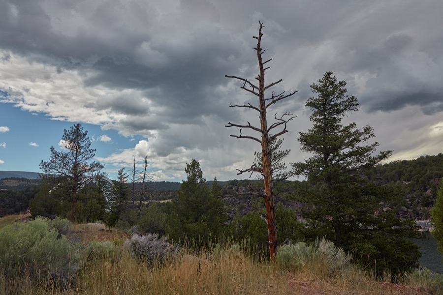
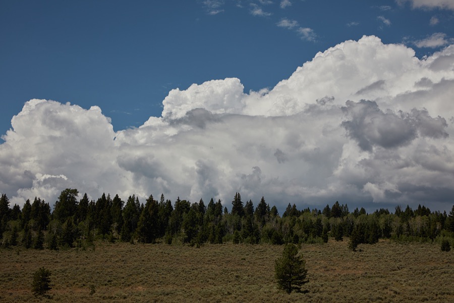
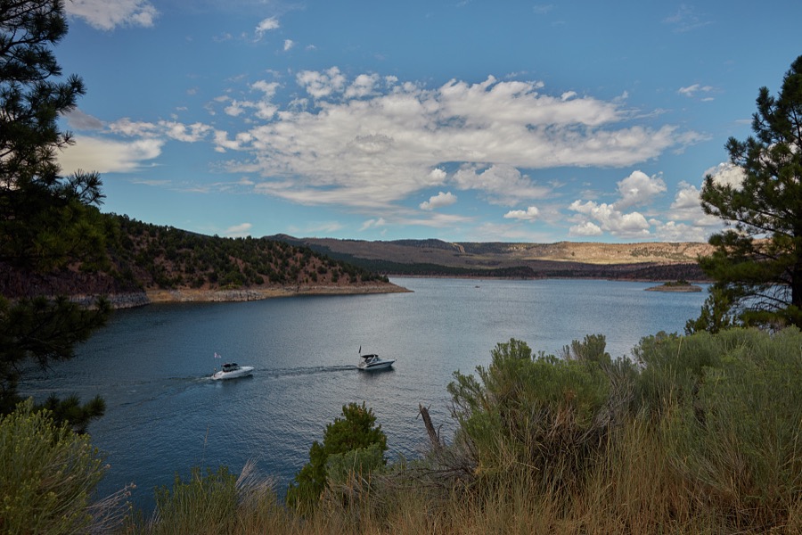
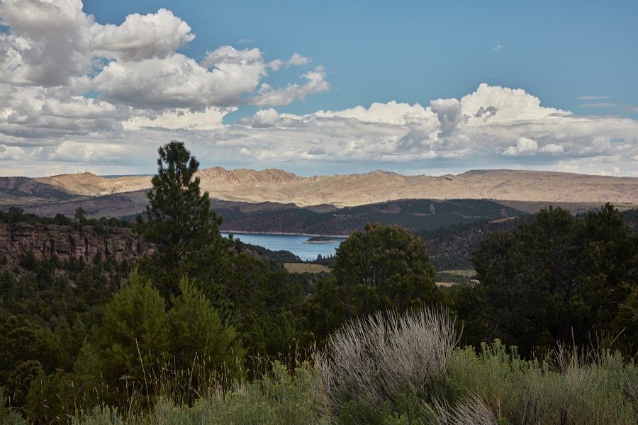
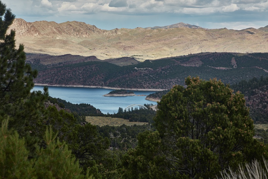
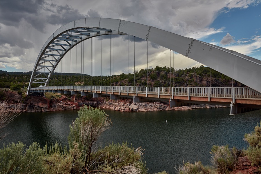
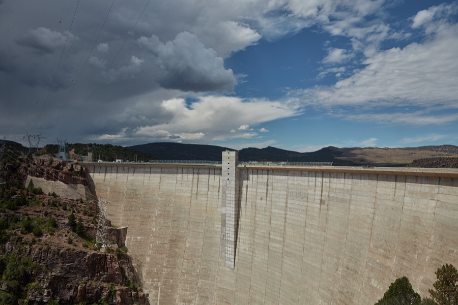
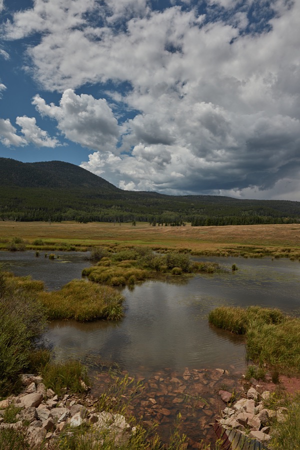
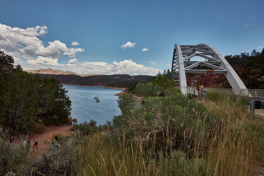
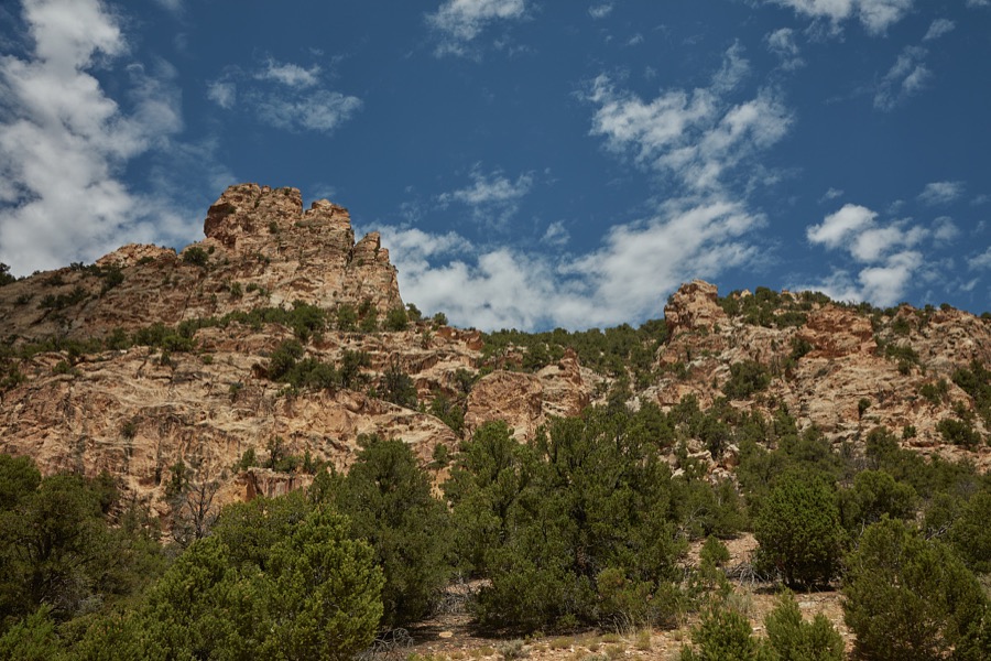
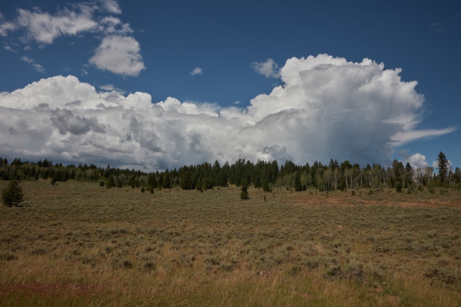
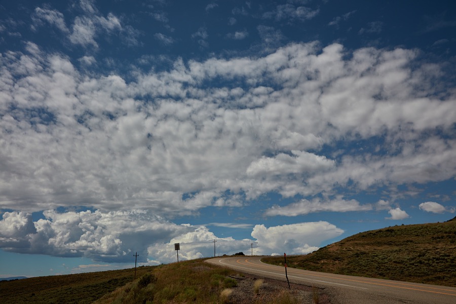
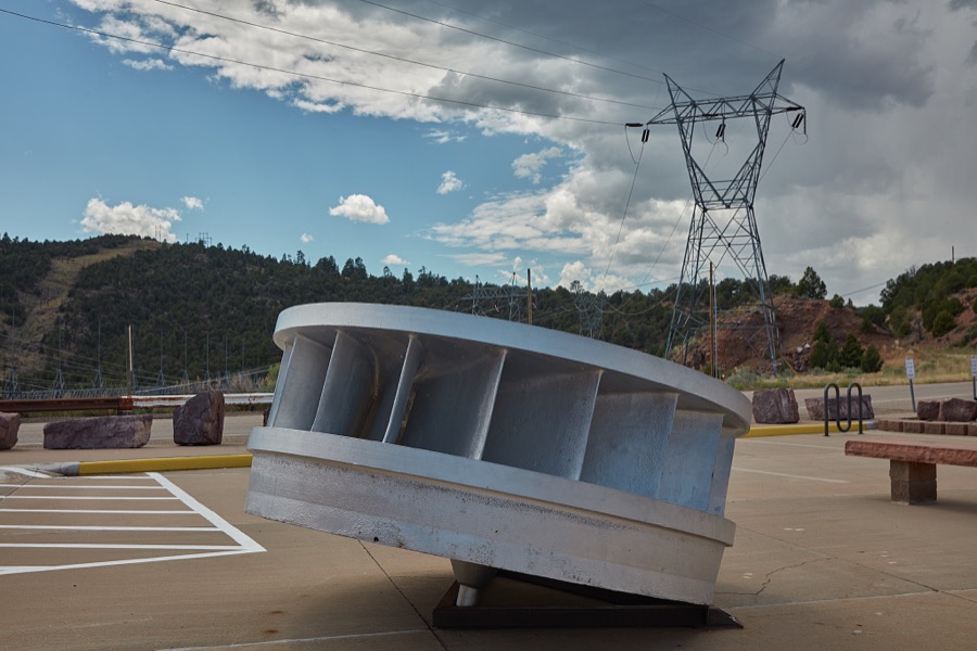
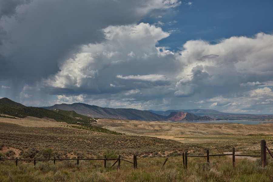
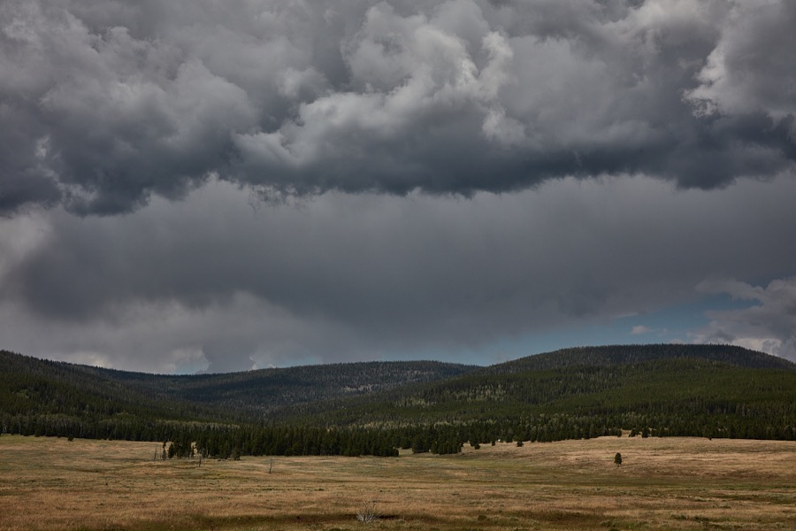
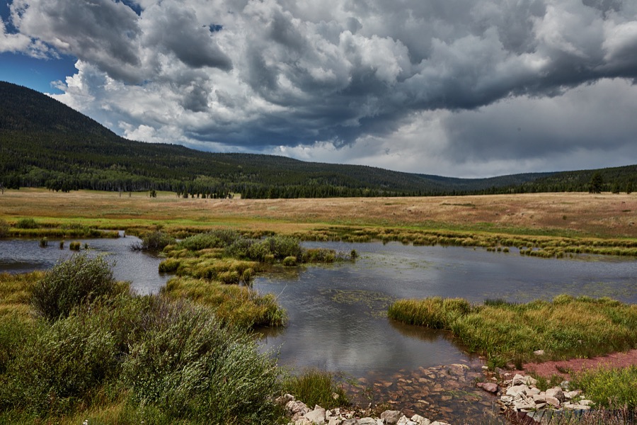
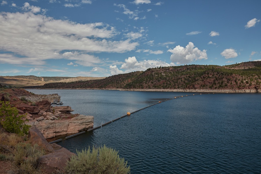
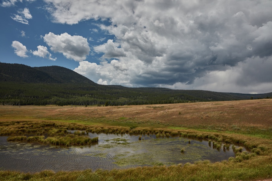
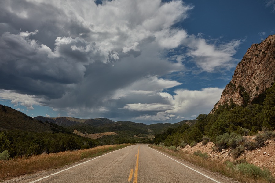
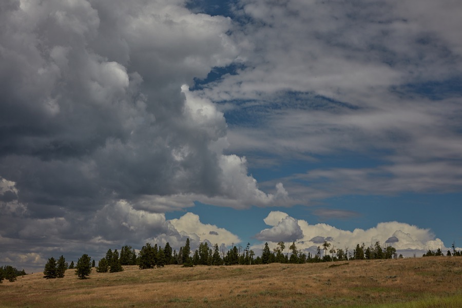
Every property in this county listed on the National Register of Historic Places, with the year it was listed and the federal nomination document.
| Photograph | Property | Type | Listed | Reference |
|---|---|---|---|---|
 | John Jarvie Historic Ranch District | district | 1986 | 86000232 |
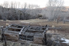 | Dr. John Parson Cabin Complex | building | 1976 | 76001812 |
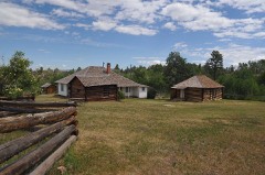 | Swett Ranch | district | 1979 | 79002492 |
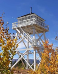 | Ute Mountain Fire Tower | structure | 1980 | 80003895 |
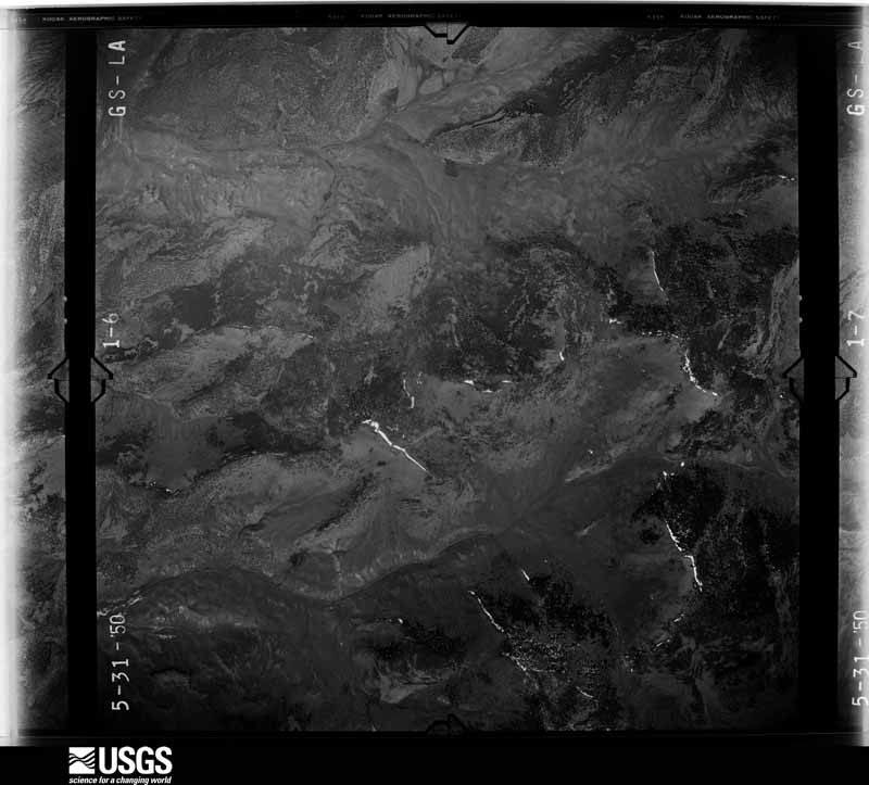
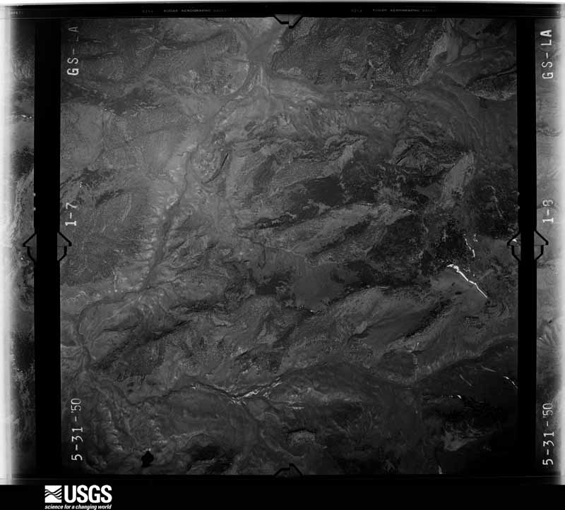
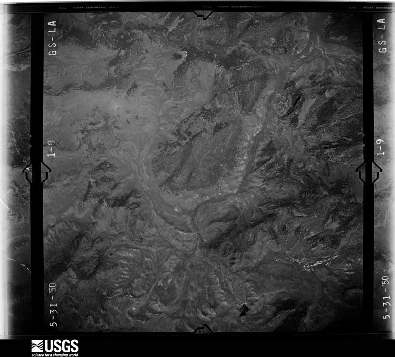
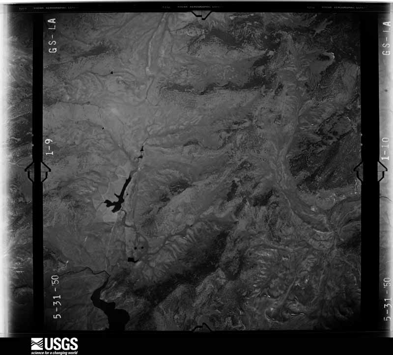
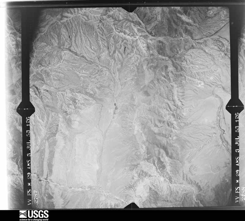
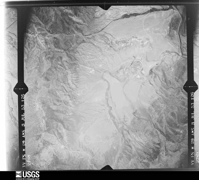
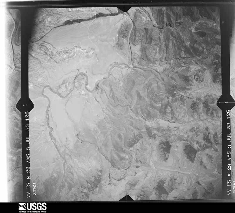
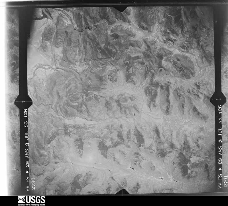
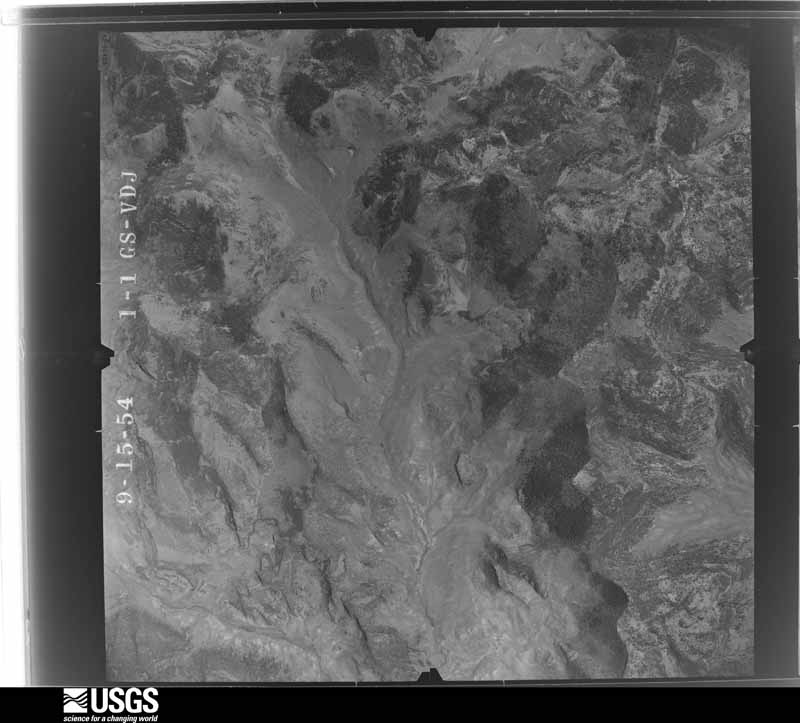
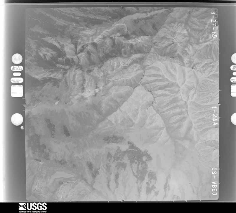
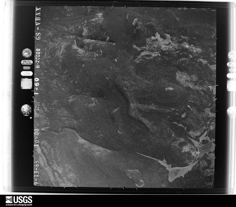
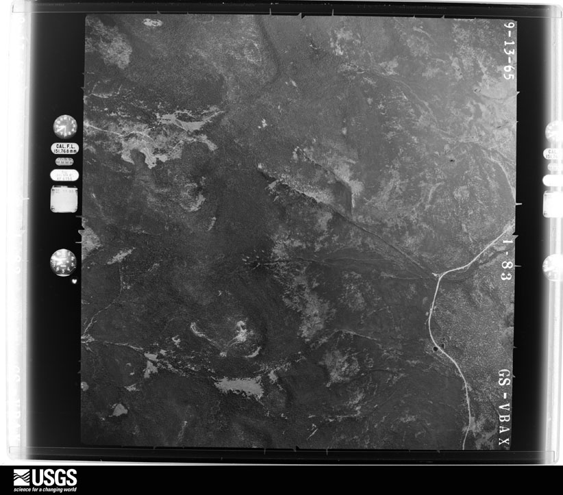
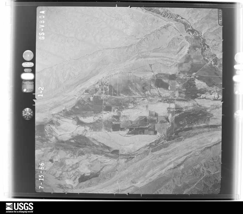
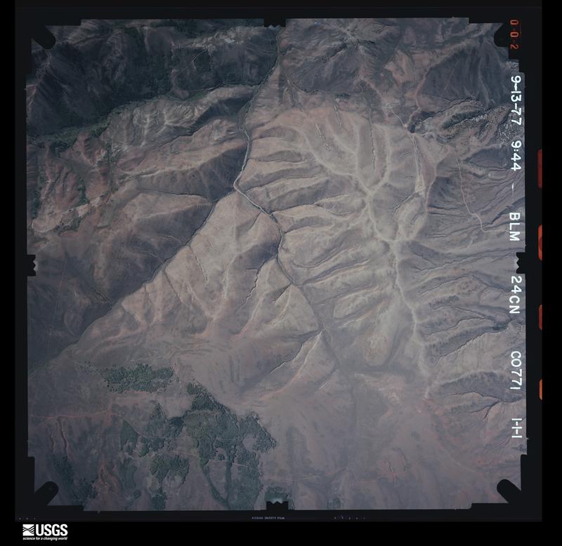
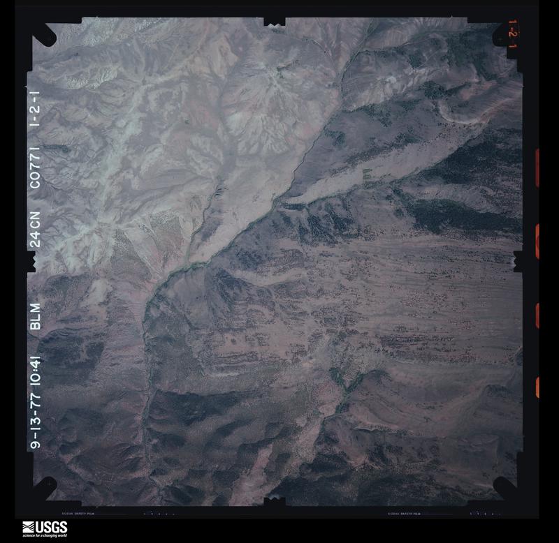
Flown by the U.S. Geological Survey between 1937 and 1989, the Aerial Photo Single Frames collection is the definitive mid-century view of the land: fields, roads and rivers as the camera saw them. The Survey holds 1,617 frames inside the rectangle that bounds this county; the 47 frames below were taken over the county itself, chosen across the decades of flights (at most four a year from that rectangle), so one flight cannot crowd out the rest. The full set is free to browse and download at EarthExplorer under the dataset Aerial Photo Single Frames.
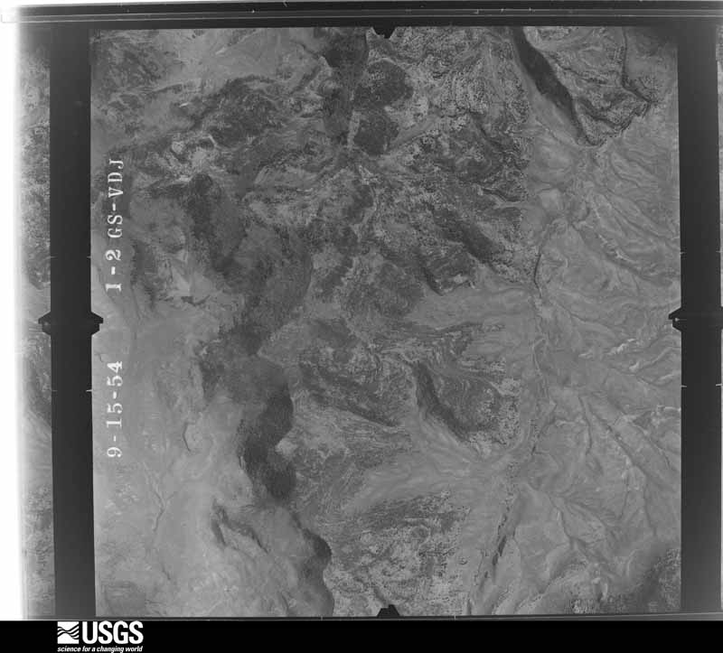
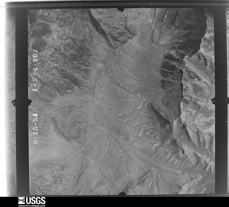
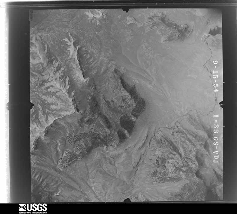
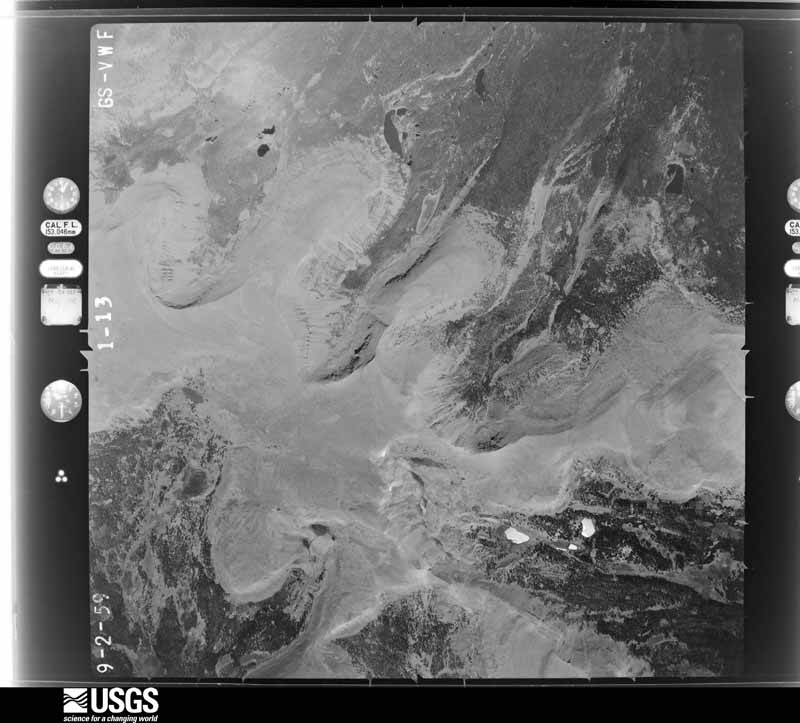
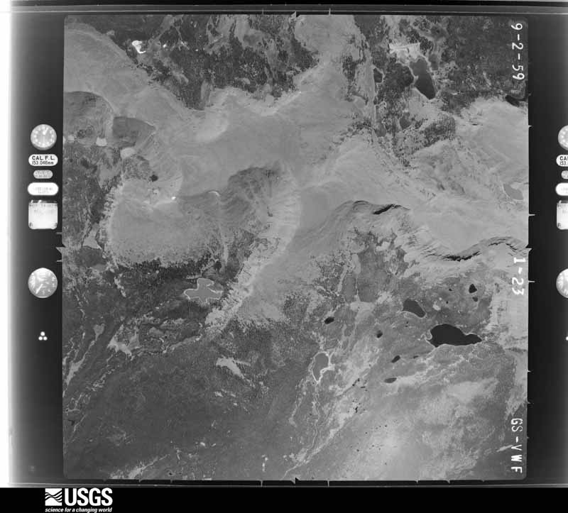
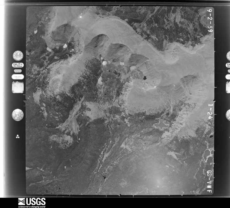
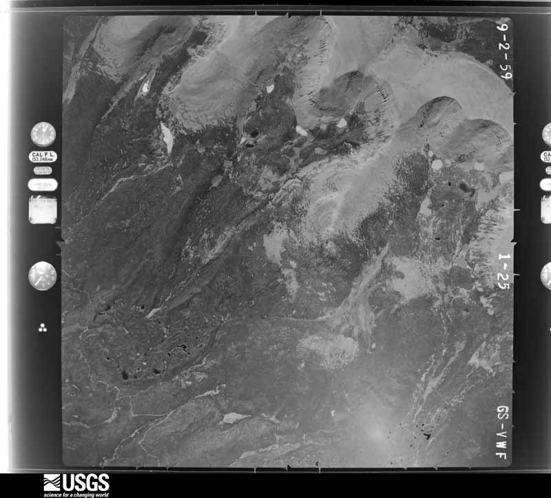
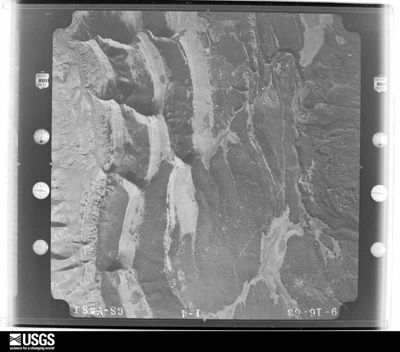
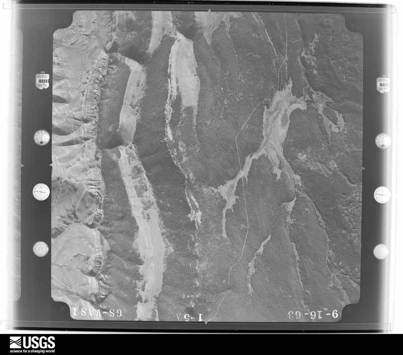
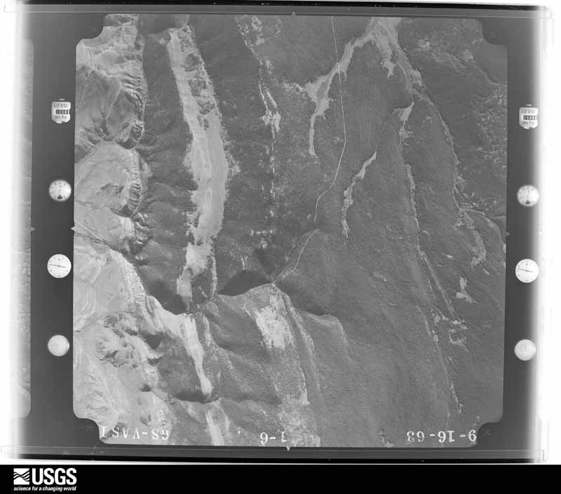
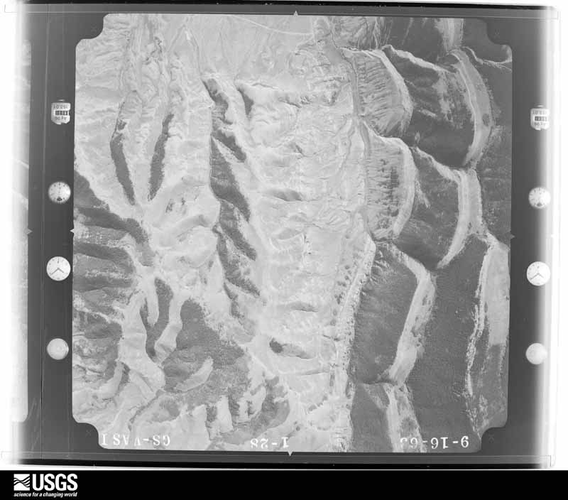
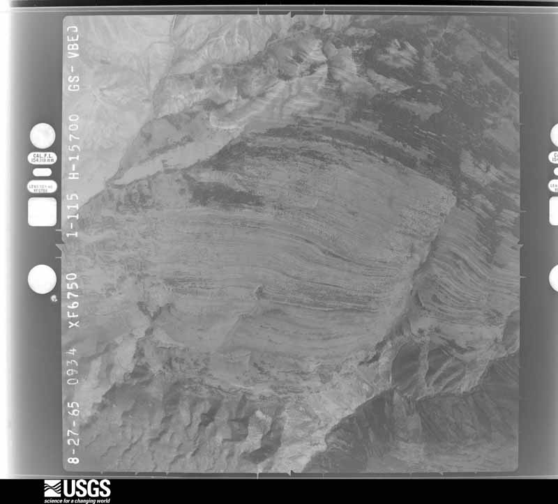
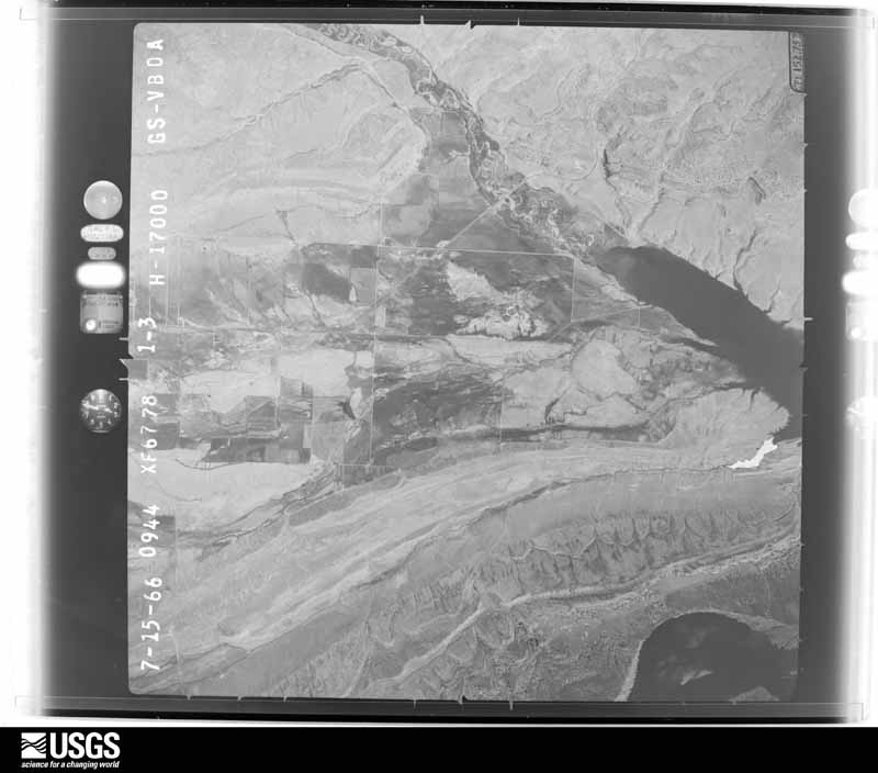
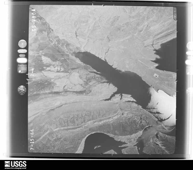
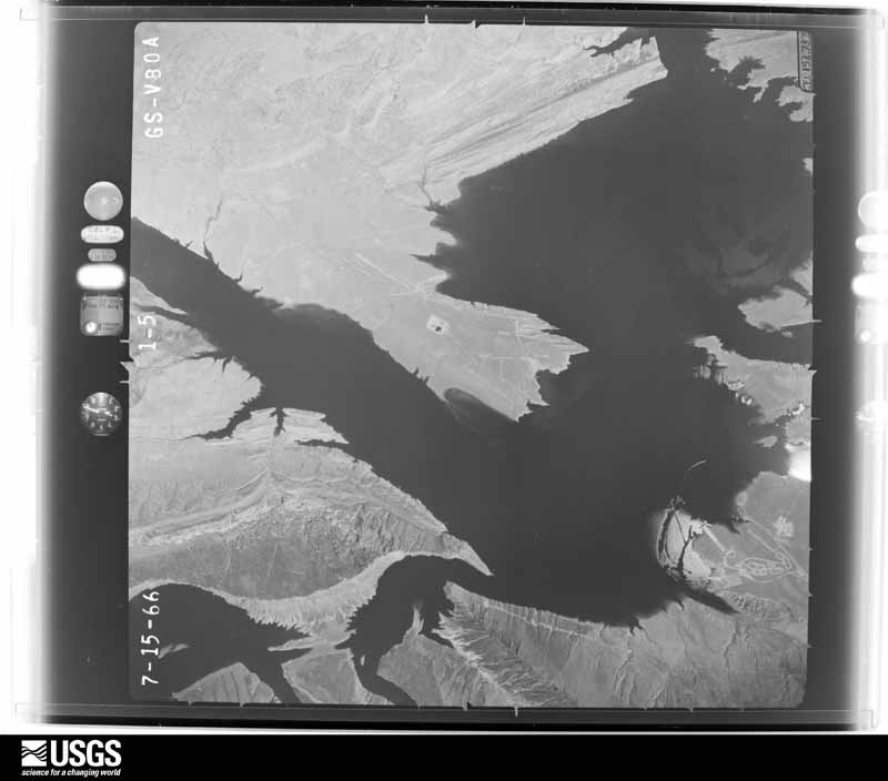
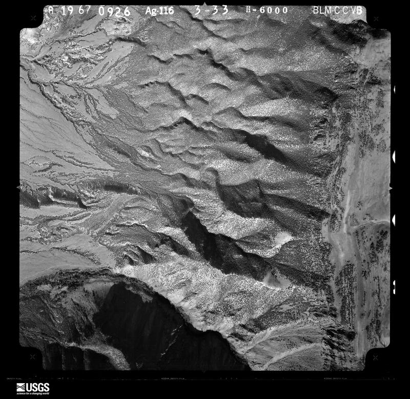
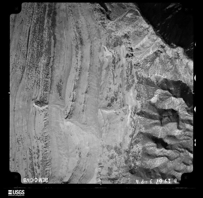
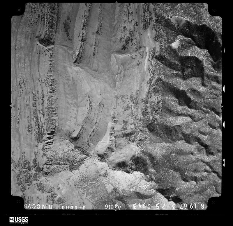
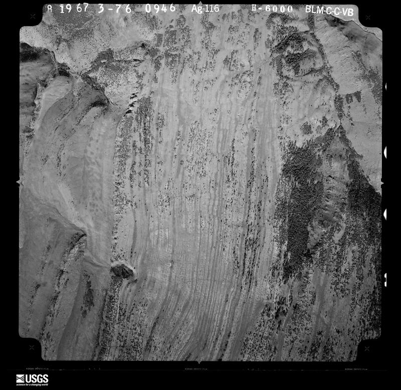
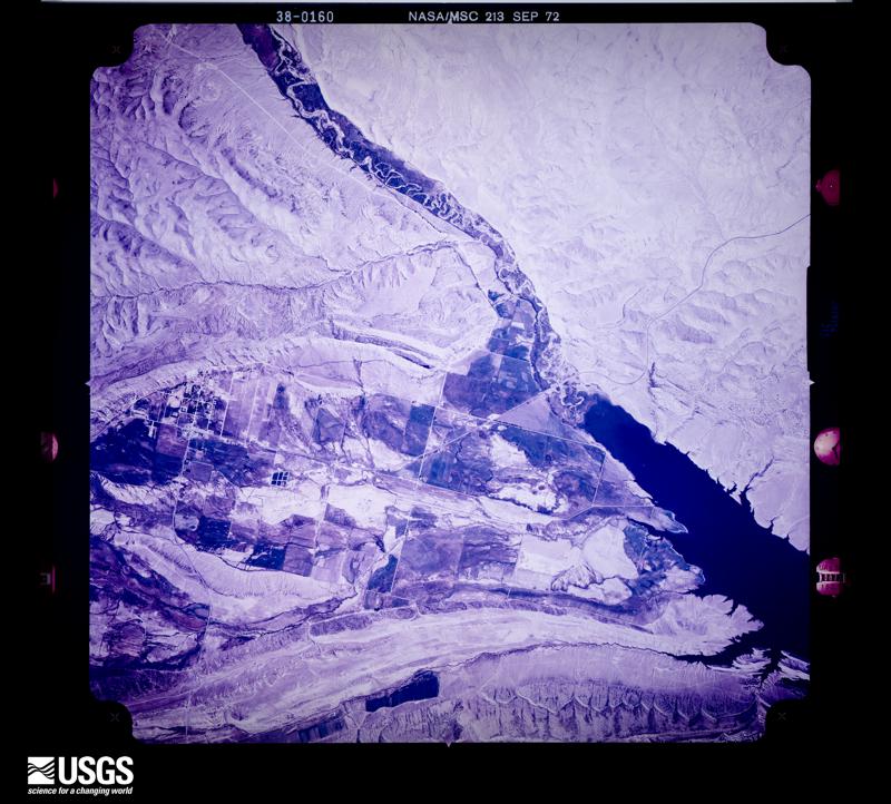
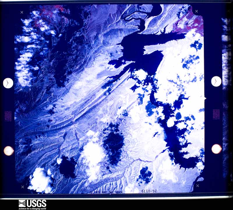
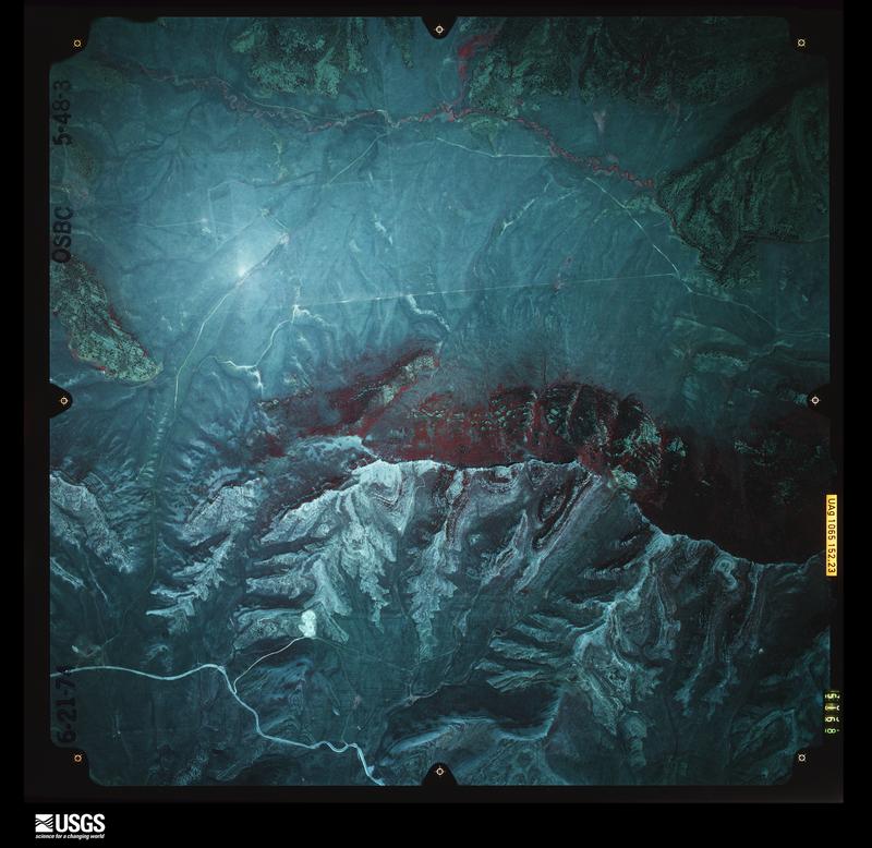
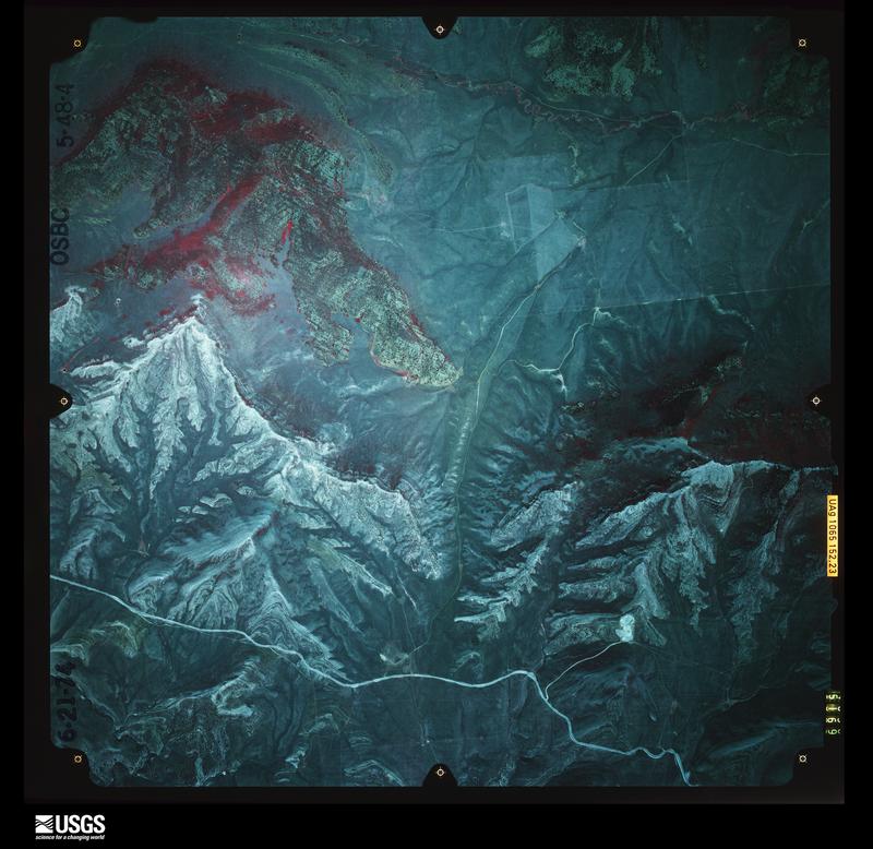
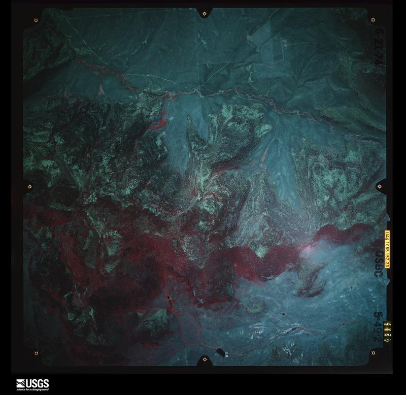
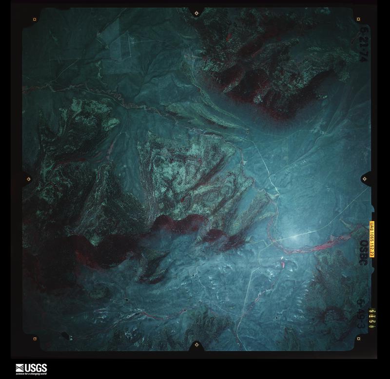
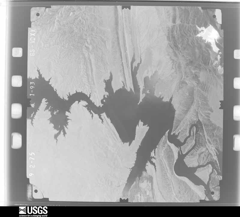
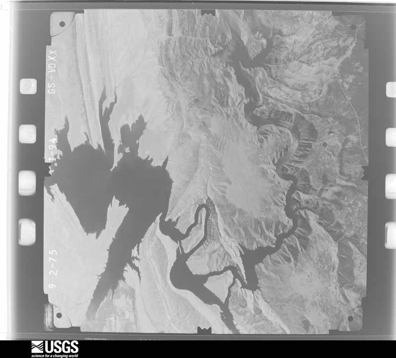
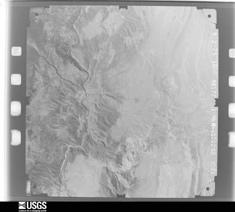
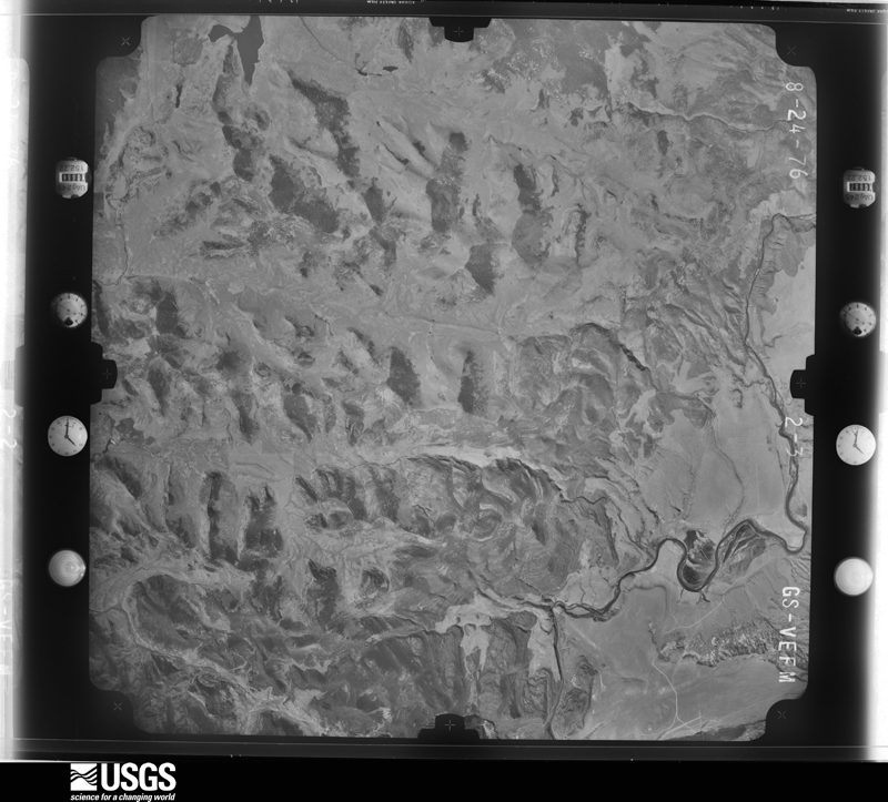
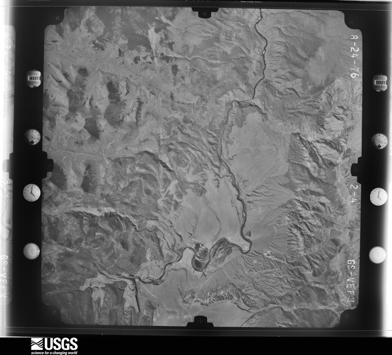
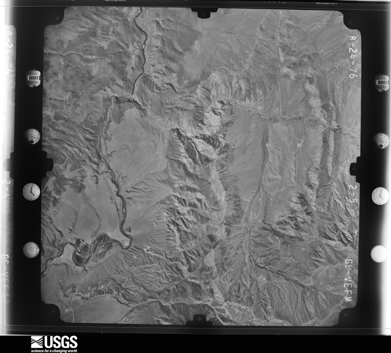
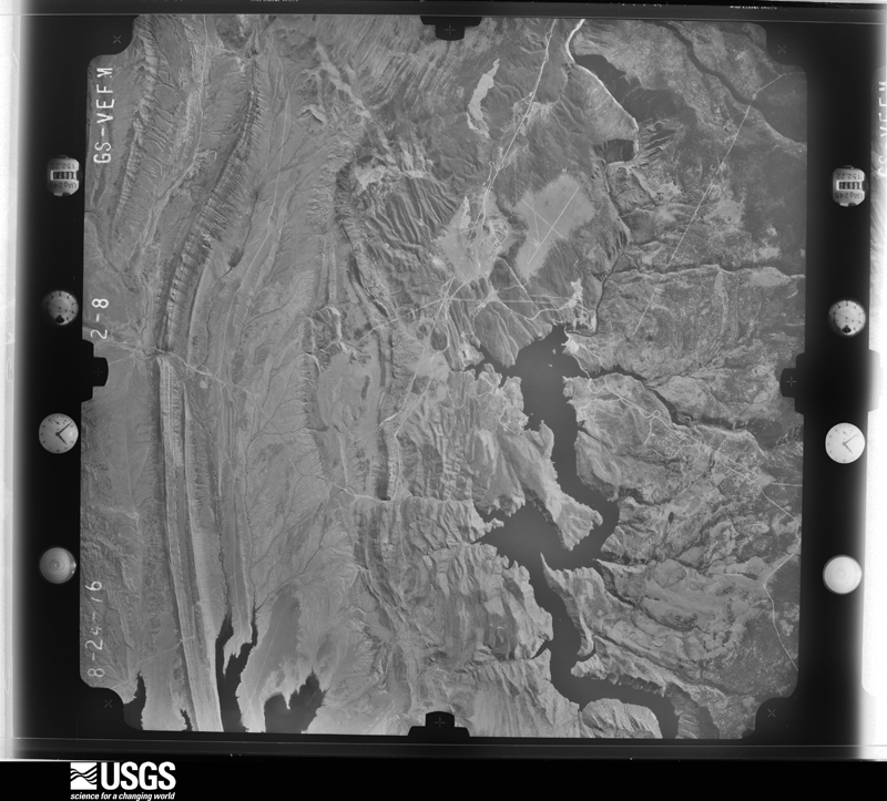
The thermometers that kept this county's weather, and the gages that measured the flow of its streams, as the federal records hold them. The extremes below are measured values from those records, not estimates.
Who lived here in 1950, one enumeration district at a time, as the Census Bureau described each district. Each row opens its official National Archives result, with Population Schedules and ED Maps available there.
Every wildfire the federal occurrence database records inside this county: 471 of them, burning about 32,415 acres. 375 started naturally and 4 were recorded as arson. Each settlement page carries the fires within five miles of it.
| Reported cause | Fires |
|---|---|
| Natural | 375 |
| Recreation and ceremony | 28 |
| Equipment and vehicle use | 20 |
| Missing data/not specified/undetermined | 18 |
| Debris and open burning | 7 |
| Smoking | 7 |
| Misuse of fire by a minor | 5 |
| Power generation/transmission/distribution | 5 |
| Arson/incendiarism | 4 |
| Other causes | 2 |
The five largest, by the area the report gives. None of them was recorded as arson.
| Date | Cause | Size | Reported by | Name on the report |
|---|---|---|---|---|
| 30 June 2002 | Equipment and vehicle use | 20,038 acres | Ashley National Forest | MUSTANG |
| 3 September 2018 | Equipment and vehicle use | 4,116 acres | Vernal Field Office | BENDER MOUNTAIN |
| 16 July 2005 | Natural | 3,322 acres | Ashley National Forest | SHEEP CREEK WFU |
| 23 June 2006 | Natural | 1,024 acres | Utah Division Forestry Fire State Lands | POT HOLE |
| 22 July 2013 | Natural | 689 acres | Ashley National Forest | GOSLIN |
| 18 August 1993 | Debris and open burning | 543 acres | Vernal Field Office | RUPLECABIN |
| 15 August 1994 | Natural | 275 acres | Vernal Field Office | BENDER |
| 24 July 2008 | Natural | 263 acres | Vernal Field Office | GOSLIN |
Every settlement page carries the fires within five miles of it - see the settlement index below.
The NOAA Storm Events Database holds 44 reports for this county, causing 1 death, 1 injury and about $396,500 in recorded property damage. Each settlement page carries the reports that name it.
| Kind of event | Reports |
|---|---|
| Hail | 12 |
| Flash Flood | 10 |
| Lightning | 10 |
| Thunderstorm Wind | 4 |
| Heavy Rain | 2 |
| Tornado | 2 |
| Wildfire | 2 |
| Funnel Cloud | 1 |
| Flood | 1 |
The most serious of them, by death, then injury, then recorded damage. The accounts are quoted exactly as the forecast office filed them.
| When | Event | Place named | Harm | What the report says |
|---|---|---|---|---|
| July 2016 | Lightning | Lucerne Valley | 1 killed, 1 hurt | A 14-year-old girl was killed and her 49-year-old stepmother was critically injured when struck by lightning while riding a jet ski in the Hideout Canyon area of Flaming Gorge Reservoir. |
| August 2014 | Flash Flood | Dutch John | $100,000 | Heavy rainfall fell in the Brown's Park basin lead to flash flooding in the John Jarvie Ranch and Red Creek areas. Over ten miles of paved and dirt roads were damaged with many washed out sections. A coffer dam failed, and water over two feet deep flowed across one road. The normally small Red Creek became a raging river. |
| August 2009 | Hail | Dutch John | $80,000 | Golfball sized hailstones dented vehicles and broke windshields and headlights traveling along highway 191 in the eastern Uinta Mountains. |
| July 2008 | Flash Flood | Manila | $75,000 | Flash flooding caused debris and water to flow over Highway 43 between mile markers 2 and 3. Several inches of water was also reported running across Highway 44. Big rocks also fell across roadways near Sheep Creek. A lot of debris flowed into nearby canals, and the Sheep Creek irrigation canal overflowed. A dirt road to Sols Canyon was washed out, as well as E. 3rd Road in Manila, and a settling pond was also washed out. Flooding also damaged several fields of crops, fences, landscaping, and irrigation systems. Water and mud entered a church basement and garages of some residences. Hail also caused crop damage. Rainfall of 2 inches in 1 hour was reported. |
| July 2002 | Wildfire | Dutch John | $50,000 | no account filed |
| July 2004 | Hail | Manila | $30,000 | no account filed |
| July 2004 | Flash Flood | Manila | $30,000 | no account filed |
| August 2009 | Hail | Manila | $20,000 | Fast moving hailstones up to the size of ping pong balls broke windows, dented vehicles, and damaged siding on residences. |
| September 2007 | Flash Flood | Dutch John | $2,000 | A flash flood with water at least five feet deep ran down an arroyo and across Browns Park Road, about three miles east of the intersection of Red Creek and Browns Park Road. There was some erosion damage to the road and a section of wood fence upstream was torn out and carried down to the road. Road crews repaired the road and cleared out debris from the culverts the next day. |
| June 2004 | Lightning | Manila | $2,000 | no account filed |
| July 1996 | Flash Flood | Manila | $2,000 | no account filed |
| June 2008 | Lightning | Dutch John | $1,000 | Lightning struck and destroyed a transducer at the Red Canyon Water Treatment Plant. |
| July 1998 | Flash Flood | Dutch John | $1,000 | no account filed |
| May 2009 | Lightning | Manila | $500 | Lightning struck the Red Canyon water treatment plant and destroyed the USFS' transducer. |
| June 2007 | Lightning | Manila | $500 | Lightning struck the Red Canyon Water Treatment Plant and destroyed the transducer. |
| July 2007 | Lightning | Manila | $500 | Lightning struck the Red Canyon Water Treatment Plant and destroyed the transducer. |
| May 2005 | Lightning | Dutch John | $500 | no account filed |
| May 2005 | Lightning | Dutch John | $500 | no account filed |
| May 2005 | Lightning | Dutch John | $500 | no account filed |
| June 2005 | Lightning | Dutch John | $500 | no account filed |
| September 2021 | Thunderstorm Wind | Dutch John | - | A peak wind gust of 58 MPH was measured by the automated weather station at the Canyonlands Field Airport. |
| June 2020 | Thunderstorm Wind | Dutch John | - | A peak wind gust of 77 mph was measured by the Kings Point automated weather station. |
| July 2017 | Flash Flood | Dutch John | - | Streets flooded in Dutch John as a result of heavy rain from showers and thunderstorms. Automated stations near Flaming Gorge measured close to 1.30 inches within two hours. Additionally, half-inch diameter hail was mixed in with the heavy rain. |
| June 2015 | Thunderstorm Wind | Dutch John | - | A supercell thunderstorm produced strong winds which snapped off or uprooted many coniferous and aspen trees up to two feet in diameter within the Greens Draw area. This event was experienced by some people who were in that area when it occurred. |
| September 2013 | Flash Flood | Dutch John | - | Several areas of flash flooding were observed along Highway 191. |
| August 2011 | Hail | Dutch John | - | Hail to the size of quarters were reported in the Greendale area on the southern side of Flaming Gorge Reservoir. |
| July 2011 | Flood | Dutch John | - | High releases were necessary to alleviate inflated inflow into Flaming Gorge Reservoir due to heavy runoff from melting snow that occurred from the record snow pack in the Central Rockies. The high releases created low land flooding below the reservoir, caused some bank erosion and impacted recreation along the river. |
| June 2009 | Heavy Rain | Manila | - | A half inch of rain fell within 10 minutes and resulted in some minor flooding. |
| August 2007 | Flash Flood | Dutch John | - | Thunderstorms over the Jarvie Ranch and Clay Basin area caused flash flooding. The flow of water in the main drainage was about 18 feet wide and 4 to 5 feet deep. |
| August 2007 | Hail | Dutch John | - | Daggett County Sheriff's Office reported golf ball size hail near Dutch John and penny-sized hail at the Flaming Gorge Dam. Minor street flooding was reported in Dutch John. |
| July 2007 | Thunderstorm Wind | Dutch John | - | A strong thunderstorm produced damaging wind gusts in extreme northeast Utah. A gust to 63 mph was measured at the Kings Point RAWS. Numerous tree branches were broken off and unsecured items were blown hundreds of feet away. |
| June 2004 | Hail | Manila | - | no account filed |
| August 2004 | Funnel Cloud | Manila | - | no account filed |
| July 2003 | Wildfire | Dutch John | - | no account filed |
| August 2001 | Hail | Manila | - | no account filed |
| August 2001 | Tornado (F0) | Dutch John | - | no account filed |
| July 2000 | Hail | Dutch John | - | no account filed |
| July 2000 | Hail | Dutch John | - | no account filed |
| July 2000 | Hail | Manila | - | no account filed |
| August 2000 | Hail | Manila | - | no account filed |
| May 1999 | Tornado (F0) | Dutch John | - | no account filed |
| July 1998 | Heavy Rain | Manila | - | no account filed |
| July 1996 | Flash Flood | West Of Manila | - | no account filed |
| August 1980 | Hail | not stated | - | no account filed |
The Survey's mineral resources record lists 96 workings inside this county. 4 still produce and 92 are closed or unrecorded. Each settlement page carries the workings within five miles of it.
| Commodity | Workings |
|---|---|
| Sand and Gravel, Construction | 32 |
| Iron | 11 |
| Phosphorus-Phosphates | 10 |
| Copper | 9 |
| Silica | 6 |
| Manganese | 6 |
| Stone, Crushed/Broken | 6 |
| Barium-Barite | 5 |
| Uranium | 5 |
| Gold | 4 |
| Volcanic Materials | 3 |
| Uranium, Copper | 3 |
| Gypsum-Anhydrite, Limestone, General | 1 |
| Copper, Uranium | 1 |
The least common of them first, because a county's hundredth gravel pit says nothing its first ten did not.
| Where | Site | Commodity | Status | Recorded |
|---|---|---|---|---|
| Sheep Creek Gap Gypsum Deposit | Gypsum-Anhydrite, Limestone, General | Occurrence | Sedimentary | |
| Sheep Creek Gap Gypsum Deposit | Gypsum-Anhydrite, Limestone, Dimension | Past Producer | ||
| South Manila Shale Deposit | Clay, Stone, Crushed/Broken | Producer | ||
| South Manila Shale Deposit Pits | Bentonite, Stone, Crushed/Broken | Producer | Sedimentary | |
| Yellow Canary Uranium Deposit | Copper, Uranium | Occurrence | ||
| Browns Park Siliceous Tuff Occurrence | Volcanic Materials | Occurrence | Tuff | |
| Jesse Ewing Siliceous Tuff | Volcanic Materials | Occurrence | Tuff | |
| Red Creek Canyon Prospects | Uranium, Copper | Occurrence | Carnotite | |
| Swallow Canyon Siliceous Tuff Deposit | Volcanic Materials | Occurrence | Tuff | |
| Unknown | Uranium, Copper | Occurrence | ||
| Yellow Canary | Uranium, Copper | Occurrence | Carnotite | |
| Gold Point | Gold | Past Producer | Placer | |
| Gorge Creek | Gold | Past Producer | Placer | |
| Gorge Creek West Placer | Gold | Past Producer | ||
| Gorge Creek West, Placer | Gold | Past Producer | 1906 | |
| Barite Occurrence | Barium-Barite | Occurrence | Barite | |
| Bender Mountain Barite | Barium-Barite | Past Producer | ||
| Bender Mtn. Barite Deposit | Barium-Barite | Occurrence | 1965 | |
| Flaming Gorge Group | Phosphorus-Phosphates, Uranium | Prospect | Surface, Underground | |
| Kleins Hill Prospect | Barium-Barite | Occurrence | Replacement | |
| Kleins Hill Prospect | Barium-Barite | Past Producer | ||
| Unknown | Uranium | Occurrence | ||
| Yellow Canary | Uranium, Copper | Occurrence | 1920 | |
| Yellow Canary | Uranium | Unknown | Surface, Underground | |
| Yellow Canary Uranium | Uranium | Occurrence | ||
| Alteration Prospect | Stone, Crushed/Broken | Past Producer | ||
| Bender Mtn Silica Deposit | Silica | Occurrence | Quartzite | |
| Bender Mtn Silica Deposit | Silica | Past Producer | ||
| Browns Park Siliceous Tuff | Stone, Crushed/Broken | Past Producer | ||
| Daggett Chief No 1,2,3,4 Mn.Dep. | Manganese | Prospect | 1941 | |
| Daggett Chief Workings | Manganese | Occurrence | 1890 | |
| East Goslin Silica Deposit | Silica | Occurrence | Quartzite | |
| East Goslin Silica Deposit | Silica | Past Producer | ||
| Galloway Creek Prospects | Stone, Crushed/Broken | Past Producer | ||
| Goslin Silica Deposit | Silica | Occurrence | Quartzite | |
| Goslin Silica Deposit | Silica | Past Producer | ||
| Jesse Ewing Siliceous Tuff | Stone, Crushed/Broken | Past Producer | ||
| Little Daggett Chief | Iron, Manganese | Past Producer | ||
| Little Daggett Chief. Workings | Iron, Manganese | Occurrence | Replacement | |
| Spring Creek Prospects | Iron, Manganese | Occurrence | Limonite, Pyrolusite | |
| Spring Creek Prospects | Iron, Manganese | Past Producer | ||
| Swallow Canyon Siliceous Tuff | Stone, Crushed/Broken | Past Producer | ||
| Dana Prospect | Copper | Occurrence | Malachite | |
| Dana Prospect | Copper | Past Producer | ||
| Dutch John Mountain | Copper | Past Producer | ||
| Dutch John Mountain Workings | Copper | Occurrence | Malachite | |
| Jesse Ewing Canyon | Copper, Iron | Past Producer | ||
| Jesse Ewing Canyon Claim | Copper, Iron | Occurrence | Bornite, Chalcocite, Chrysocolla, Hematite, Limonite | |
| Red Creek | Copper | Occurrence | Malachite | |
| Red Creek | Copper | Past Producer | ||
| Conner Basin Phosphate | Phosphorus-Phosphates | Past Producer | ||
| Conner Basin Phosphate Occurrence | Phosphorus-Phosphates | Occurrence | ||
| Horseshoe Canyon Phosphate Deposit | Phosphorus-Phosphates | Occurrence | ||
| Horseshoe Canyon Phosphate Deposit | Phosphorus-Phosphates | Past Producer | ||
| Lodge Pole Phosphate Deposit | Phosphorus-Phosphates | Occurrence | ||
| Lodge Pole Phosphate Deposit | Phosphorus-Phosphates | Past Producer | ||
| Phosphate Deposits | Phosphorus-Phosphates | Prospect | BEDDED | |
| Spring Creek Phosphate Deposit | Phosphorus-Phosphates | Occurrence | ||
| Spring Creek Phosphate Deposit | Phosphorus-Phosphates | Past Producer | ||
| Birch Creek Prospect | Iron | Occurrence | ||
| Birch Creek Prospect | Iron | Past Producer | ||
| Birch Creek Prospect | Iron | Prospect | GOSSAN | |
| Goslin Mountain Iron Prospect | Iron | Past Producer | ||
| Goslin Mtn Iron Prospect | Iron | Occurrence | Hematite, Limonite | |
| Antelope Flat Gravel | Sand and Gravel, Construction | Past Producer | Unconsolidated Sediments | |
| Antelope Flat Gravel | Sand and Gravel, Construction | Occurrence | Unconsolidated Sediments | |
| Antelope Flat Gravel | Sand and Gravel, Construction | Past Producer | ||
| Antelope Flat Gravel | Sand and Gravel, Construction | Past Producer | ||
| Birch Creek Gravel Pit | Sand and Gravel, Construction | Past Producer | Unconsolidated Sediments | |
| Birch Creek Gravel Pit | Sand and Gravel, Construction | Past Producer | ||
| Birch Creek Gravel Pit #3 | Sand and Gravel, Construction | Past Producer | Unconsolidated Sediments | |
| Birch Creek Gravel Pit 3 | Sand and Gravel, Construction | Past Producer | ||
| Birch Spring Draw Gravel Pit | Sand and Gravel, Construction | Past Producer | ||
| Birch Spring Draw Gravel Pit. | Sand and Gravel, Construction | Past Producer | Unconsolidated Sediments | |
| Clay Basin Gravel Deposits | Sand and Gravel, Construction | Occurrence | Limestone, Quartzite, Sandstone | |
| Clay Basin Gravel Deposits | Sand and Gravel, Construction | Past Producer | ||
| Crouse Creek Gravel | Sand and Gravel, Construction | Past Producer | ||
| Crouse Creek Gravel Deposit | Sand and Gravel, Construction | Occurrence | Unconsolidated Sediments | |
| East Antelope Gravel Deposits | Sand and Gravel, Construction | Occurrence | Unconsolidated Sediments | |
| East Antelope Gravel Deposits | Sand and Gravel, Construction | Past Producer | ||
| East Clay Basin Gravel | Sand and Gravel, Construction | Past Producer | ||
| East Clay Basin Gravel Deposit | Sand and Gravel, Construction | Occurrence | Unconsolidated Sediments | |
| Little Hole Gravel Deposits | Sand and Gravel, Construction | Occurrence | Unconsolidated Sediments | |
| Little Hole Gravel Deposits | Sand and Gravel, Construction | Past Producer | ||
| Lucerne Valley Gravel Deposit | Sand and Gravel, Construction | Past Producer | ||
| Lucerne Valley Gravel Deposit Pits | Sand and Gravel, Construction | Past Producer | Unconsolidated Sediments | |
| Ne Browns Park Gravel | Sand and Gravel, Construction | Past Producer | ||
| Ne Browns Park Gravel Deposit | Sand and Gravel, Construction | Occurrence | Unconsolidated Sediments | |
| Pebble Pit | Sand and Gravel, Construction | Producer | Chert, Quartzite | |
| Pebble Pit | Sand and Gravel, Construction | Producer | ||
| Pit Draw Gravel | Sand and Gravel, Construction | Past Producer | ||
| Pitt Draw Gravel Pit | Sand and Gravel, Construction | Past Producer | Unconsolidated Sediments | |
| Sears Creek Gravel | Sand and Gravel, Construction | Past Producer | ||
| Sears Creek Gravel Deposit | Sand and Gravel, Construction | Occurrence | Unconsolidated Sediments | |
| Sheep Creek Canal Gravel Pit | Sand and Gravel, Construction | Past Producer | Unconsolidated Sediments | |
| Sheep Creek Canal Gravel Pit | Sand and Gravel, Construction | Past Producer |
Named settlements recorded in the Geographic Names Information System, each with the topographic sheets covering it. Villages, hamlets and abandoned places alike. Each is shown with the nearest named watercourse or landform and the survey quadrangle it falls on.
West Daggett census division · Mount Lena quadrangle
16 sheets, 1885 to 1996
West Daggett census division · 84023 · Near Bear Canyon · Dutch John quadrangle
17 sheets, 1885 to 1996
West Daggett census division · 84023 · Near Bear Canyon · Dutch John quadrangle
17 sheets, 1885 to 1996