 Block
From the record
7 National Register listings published here.
Sources: the National Register database, National Park Service
52 topographic sheets and 3 fire insurance atlases across 1 place.
7 National Register listings published here.
Sources: the National Register database, National Park Service
Taken for the Office of War Information and the Farm Security Administration, who photographed the country between 1935 and 1944. Works of United States government photographers, with no known restriction on use. Each opens its catalogue record.
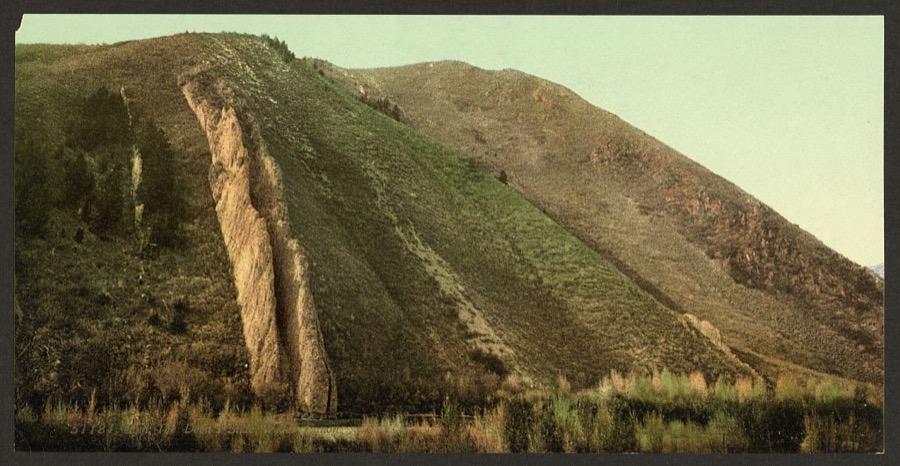
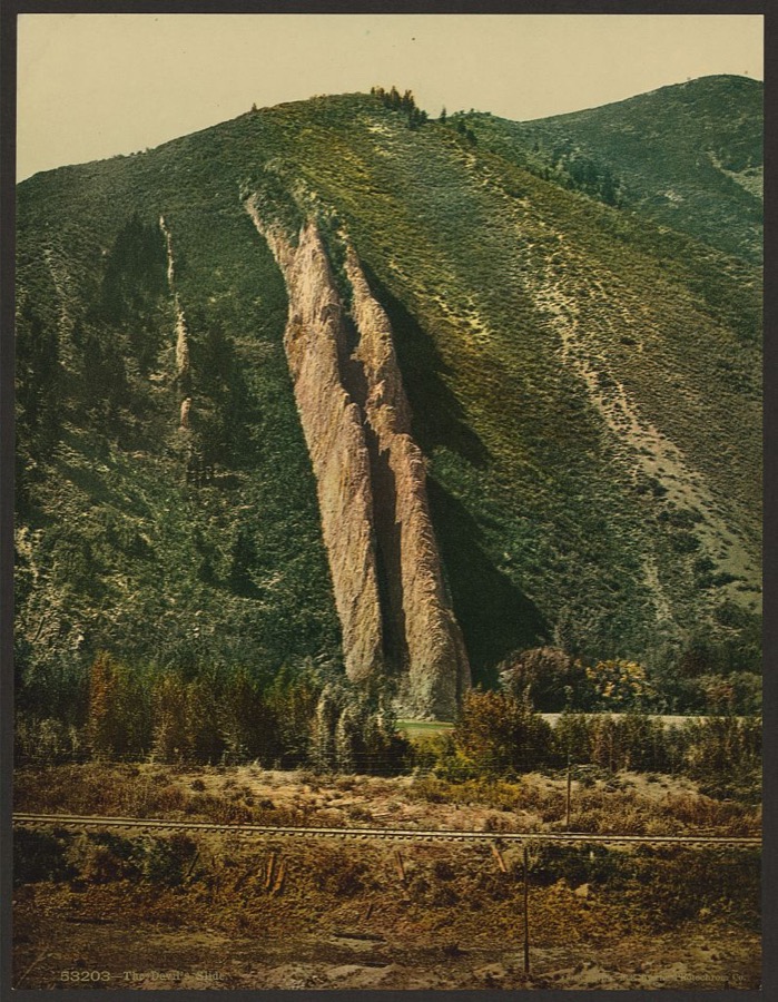
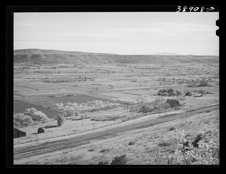
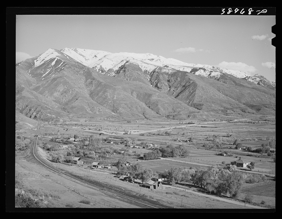
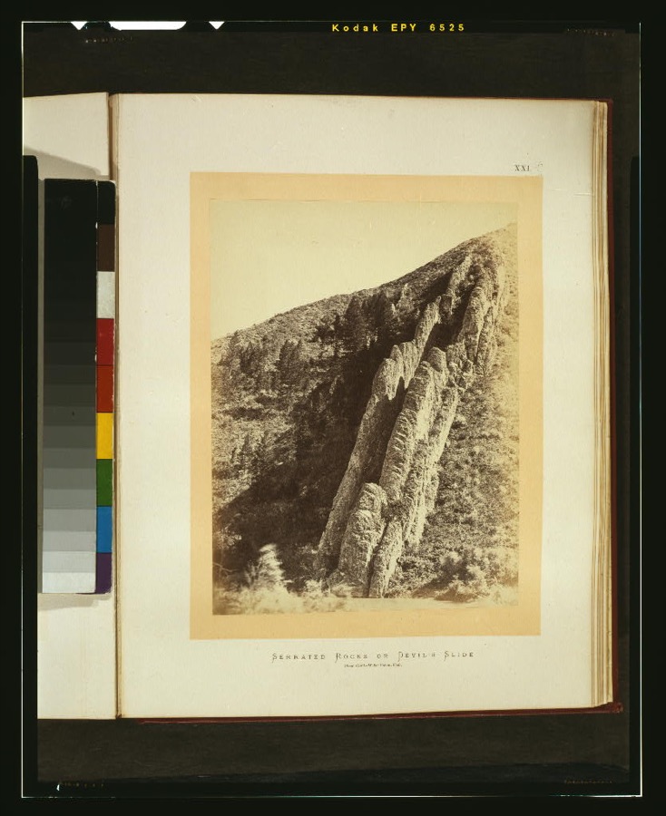
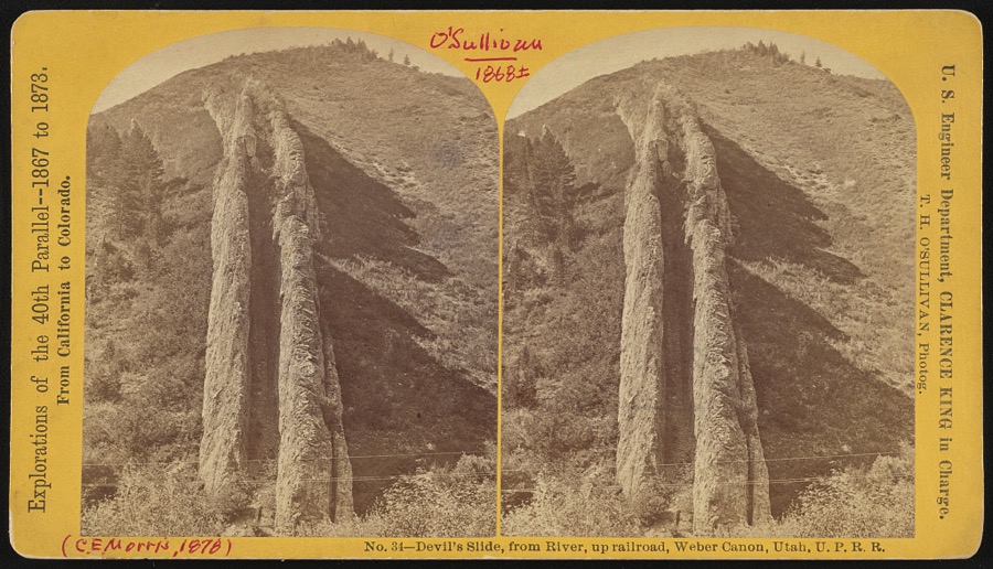
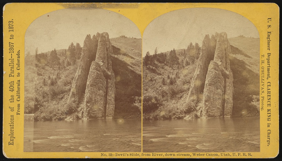
Every property in this county listed on the National Register of Historic Places, with the year it was listed and the federal nomination document.
| Photograph | Property | Type | Listed | Reference |
|---|---|---|---|---|
 | Devil's Gate-Weber Hydroelectric Power Plant Historic District | district | 1989 | 89000276 |
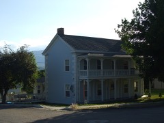 | Daniel Heiner House | building | 1978 | 78002664 |
| Morgan Elementary School | building | 1986 | 86000737 | |
 | Morgan High School Mechanical Arts Building | building | 1986 | 86000738 |
| Morgan Historic District | district | 2022 | 100007519 | |
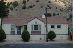 | Morgan Union Pacific Depot | building | 2011 | 11000757 |
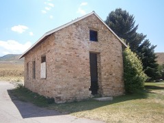 | South Round Valley School | building | 2011 | 11000233 |
Selected from the Digital Public Library of America's 2 image records catalogued for this county. Every one shown here carries a public-domain status or a licence that permits reuse on a site that carries advertising; non-commercial, share-alike and restricted images are excluded. The selection is spread across the county's towns (at most eight per town), so no single institution's bulk upload crowds out the rest. Each opens the holding library's record, and the complete set at the Digital Public Library of America is one click away.
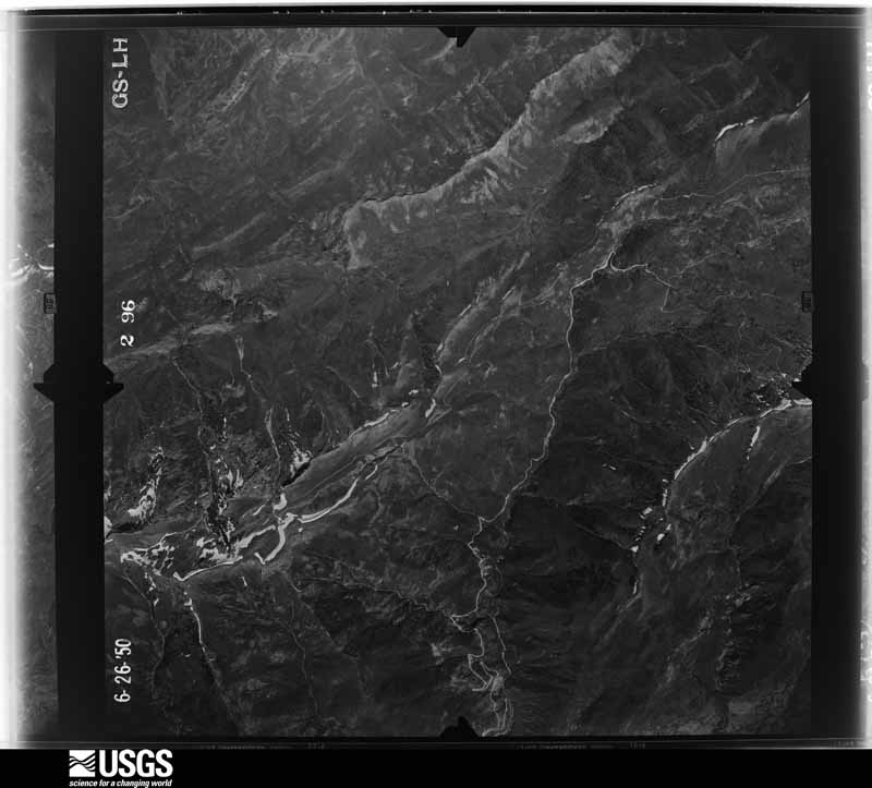
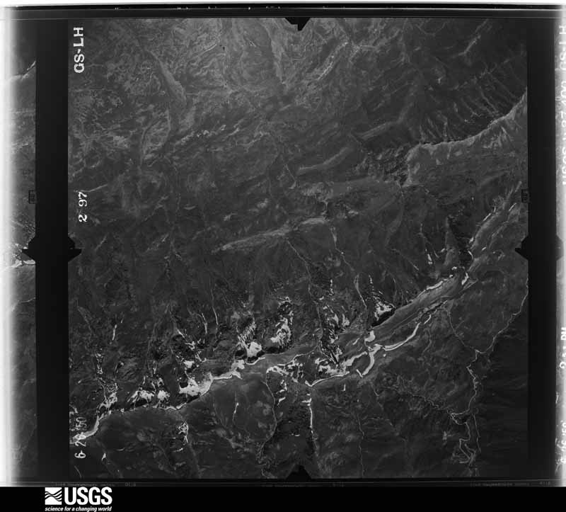
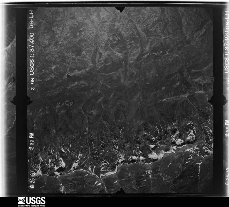
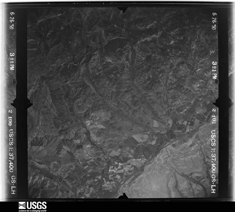
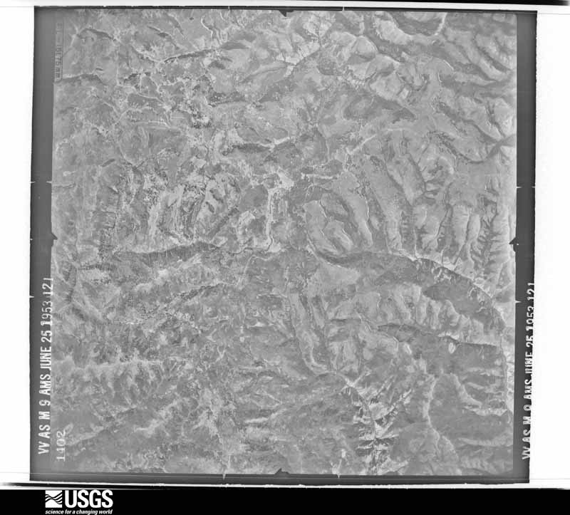
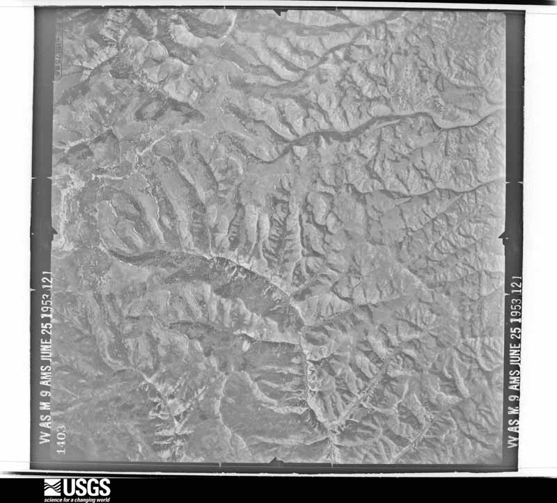
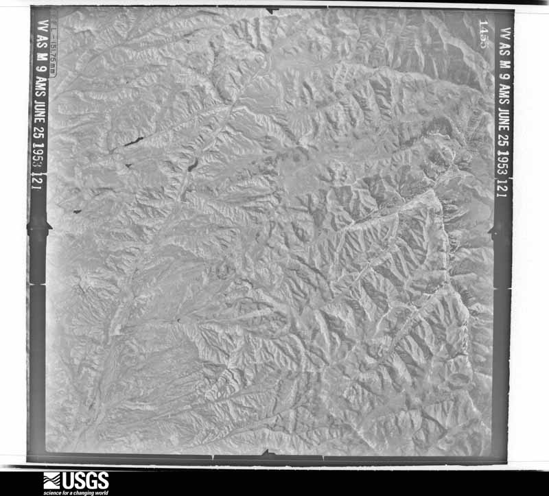
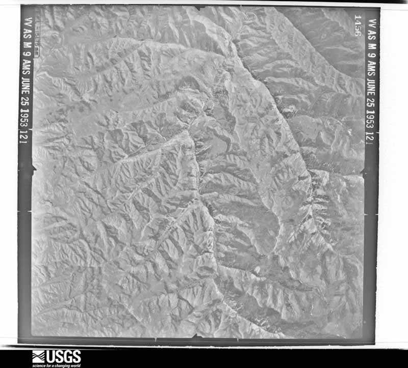
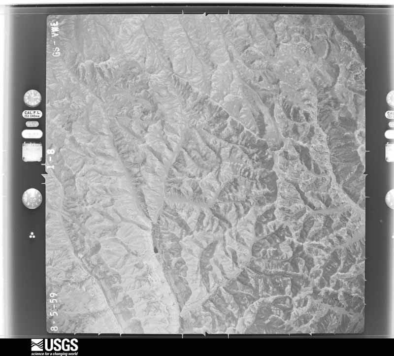
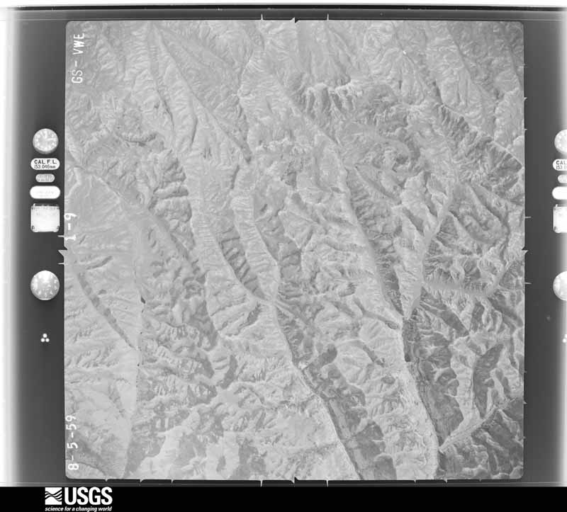
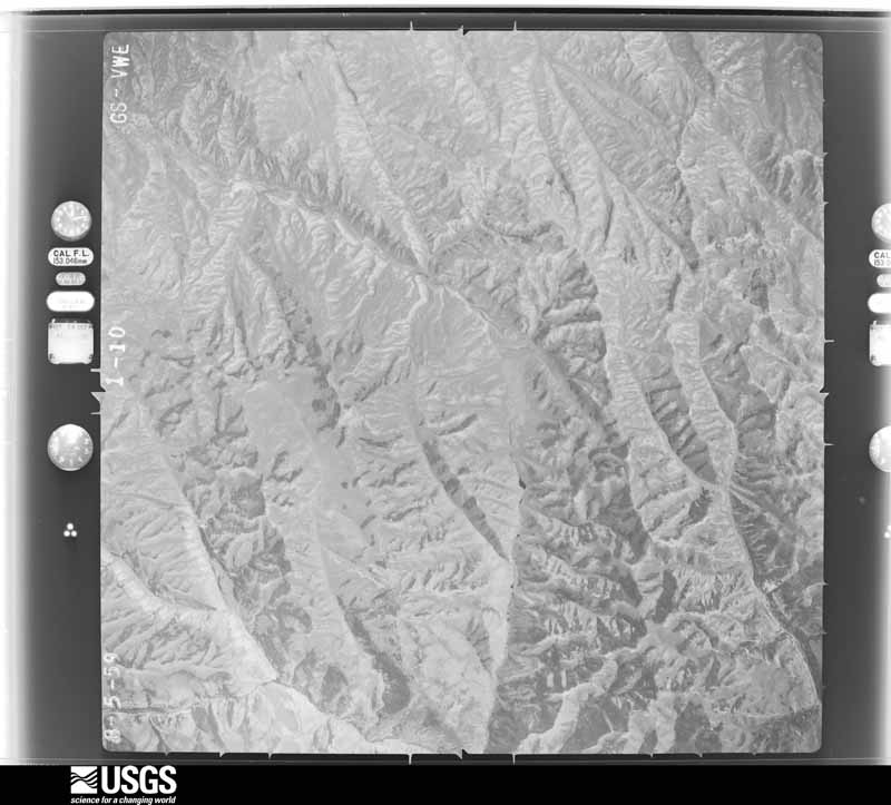
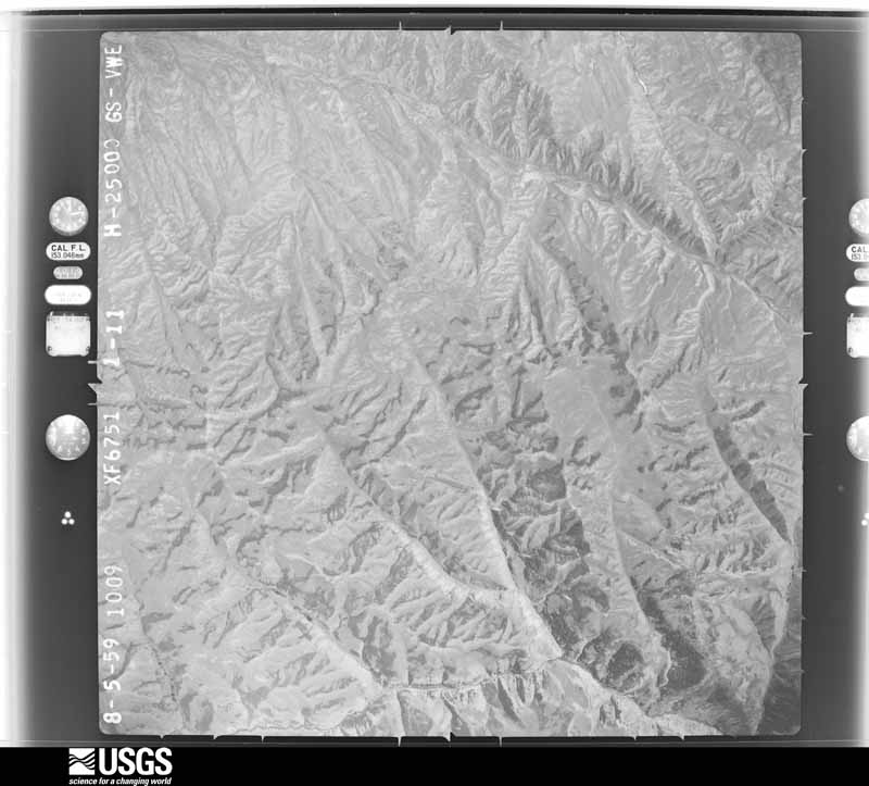
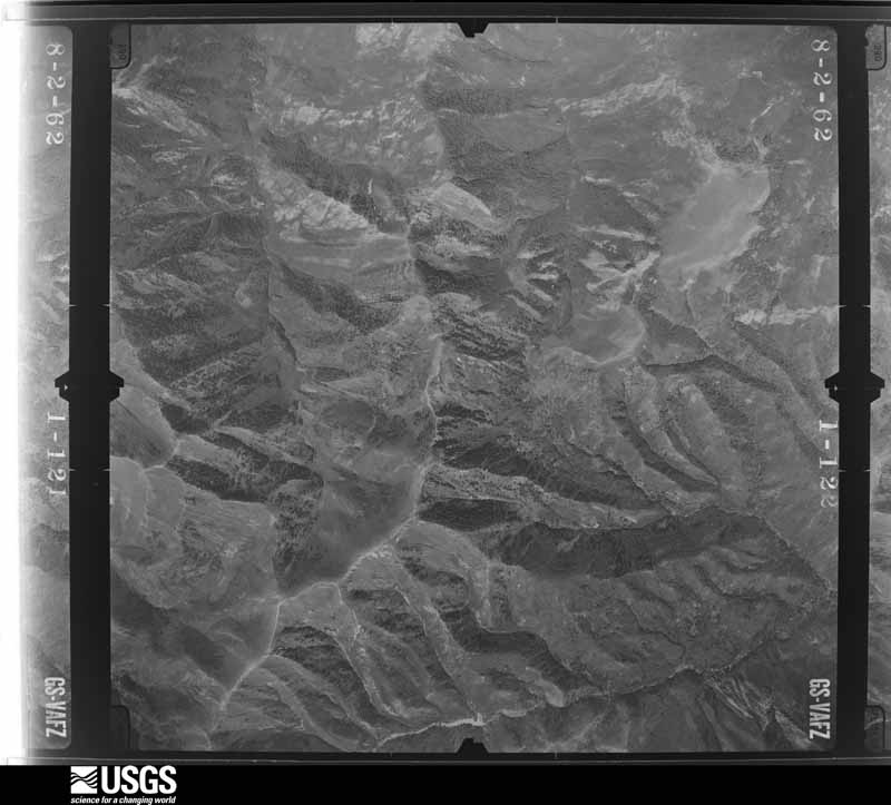
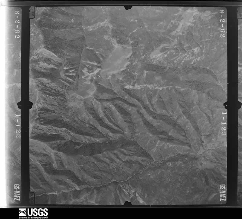
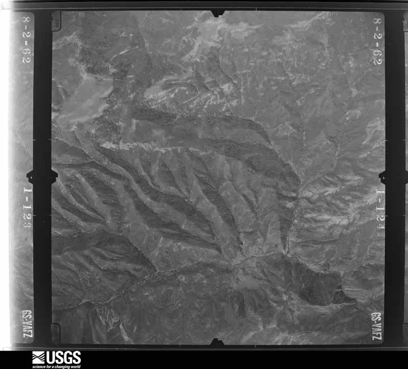
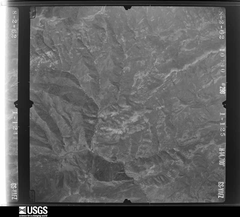
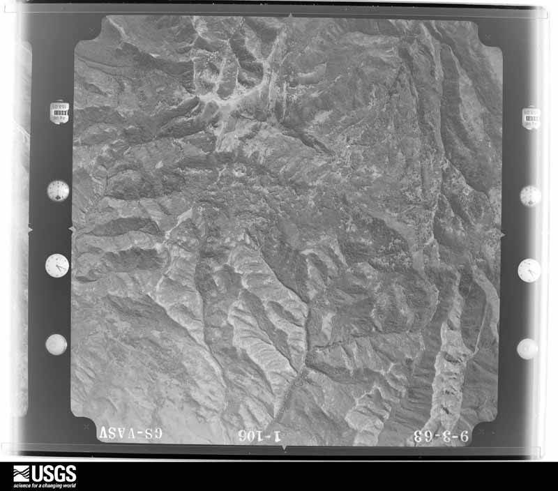
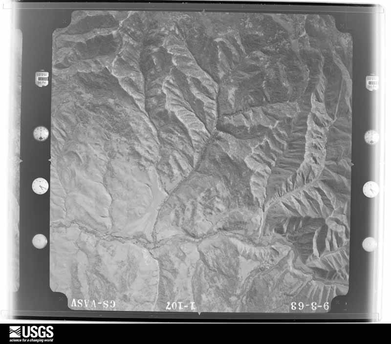
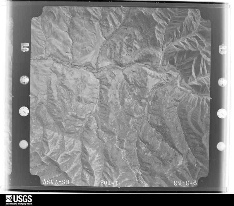
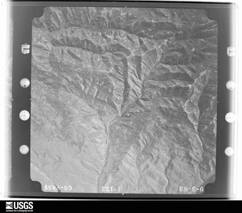
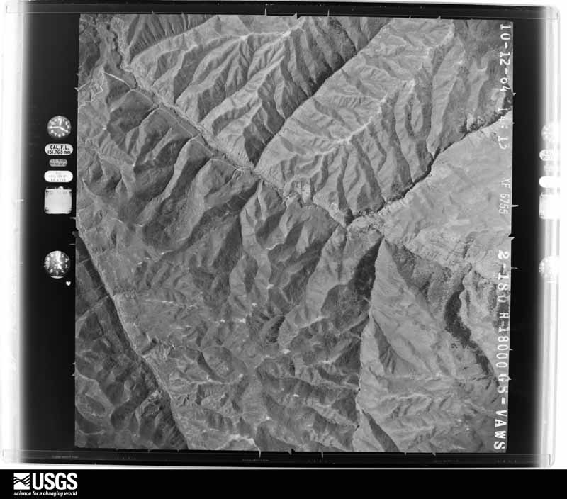
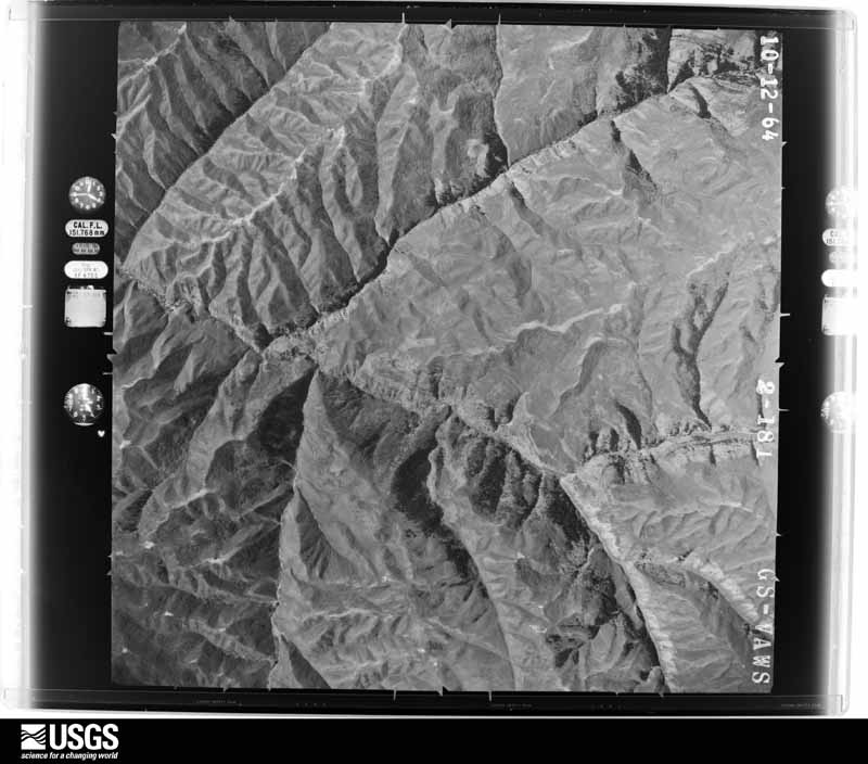
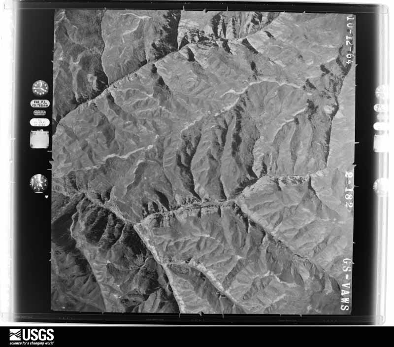
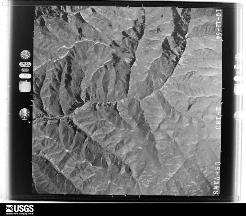
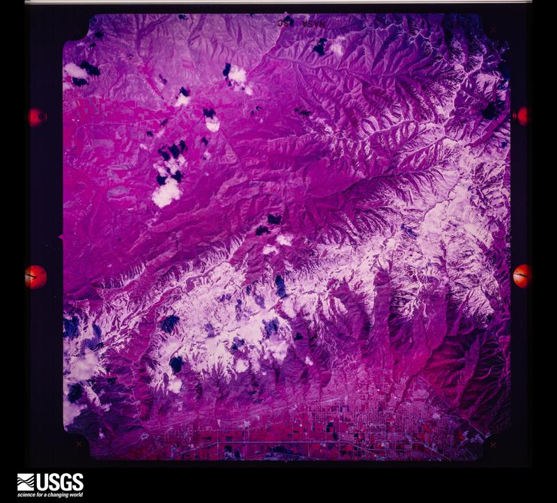
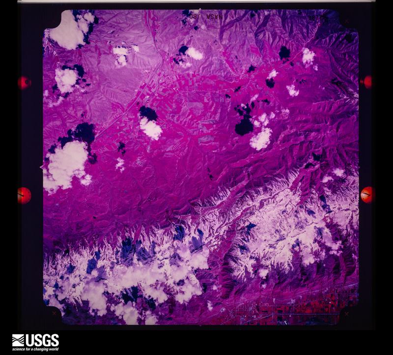
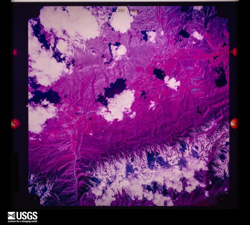
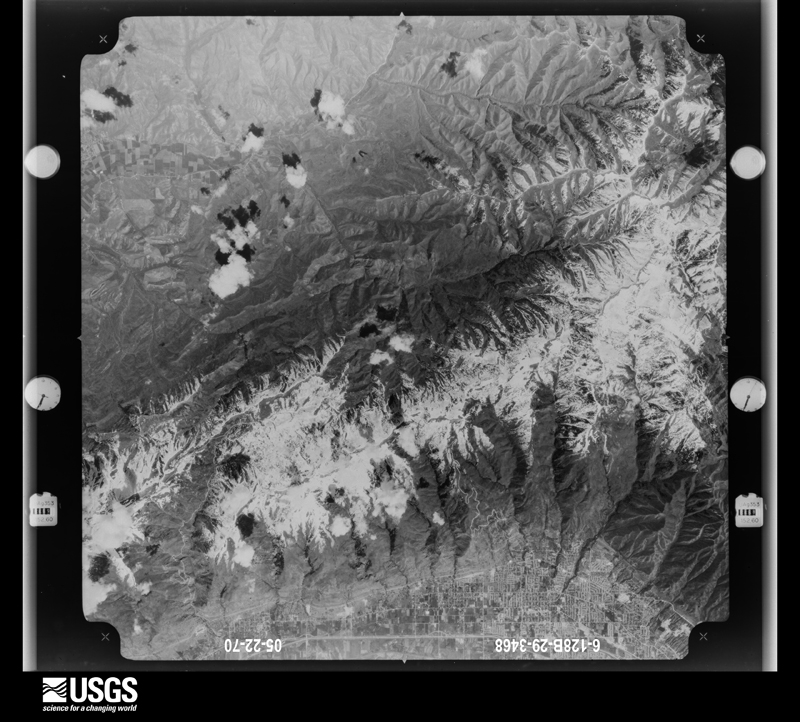
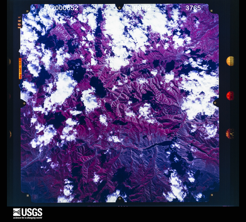
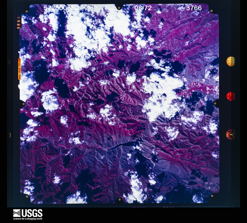
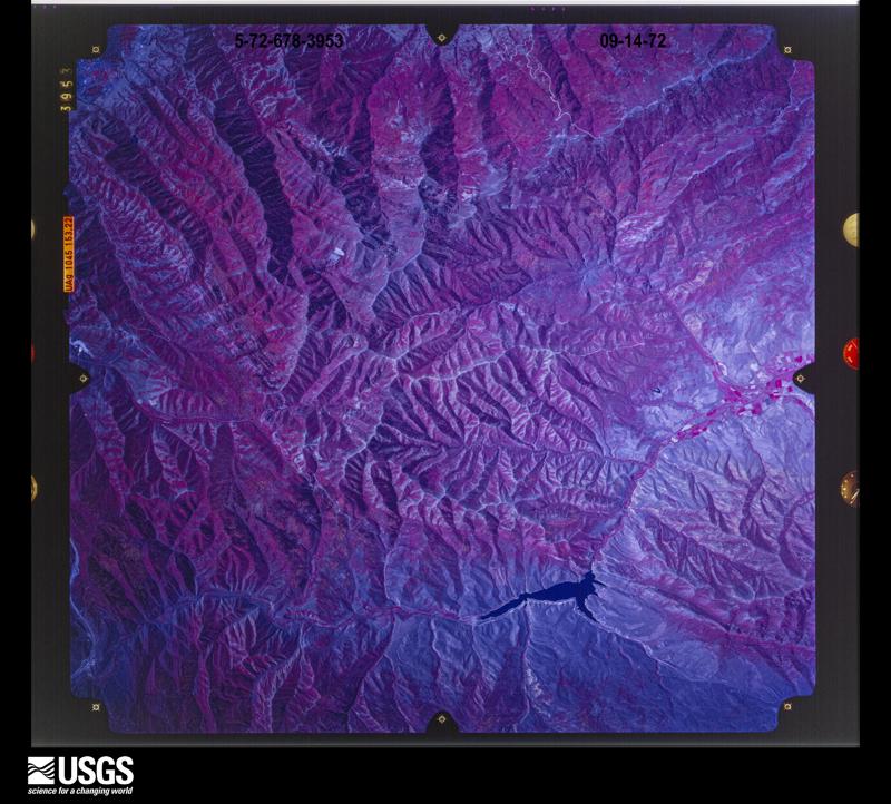
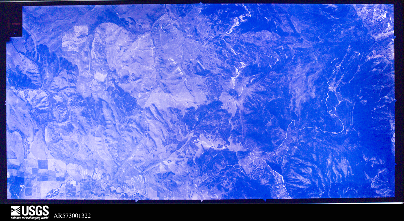
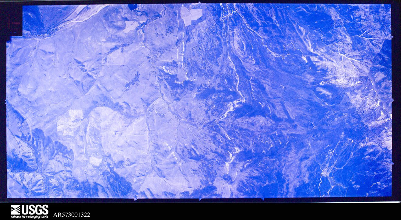
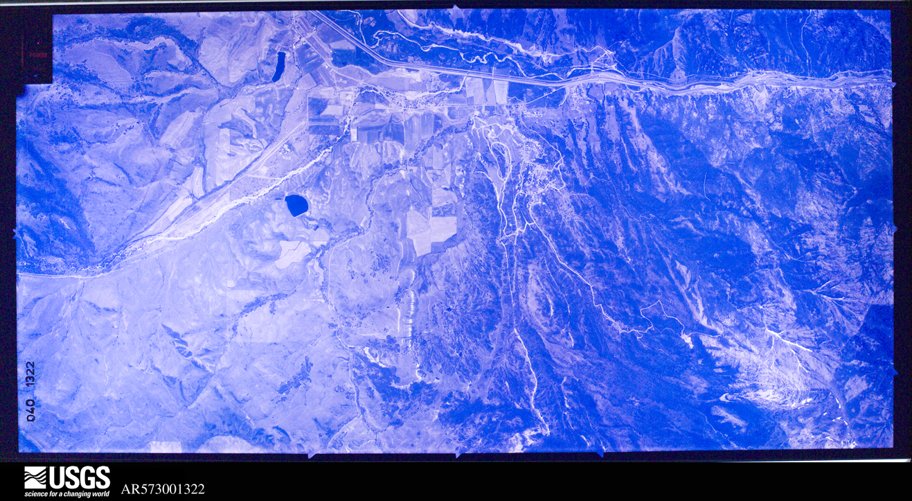
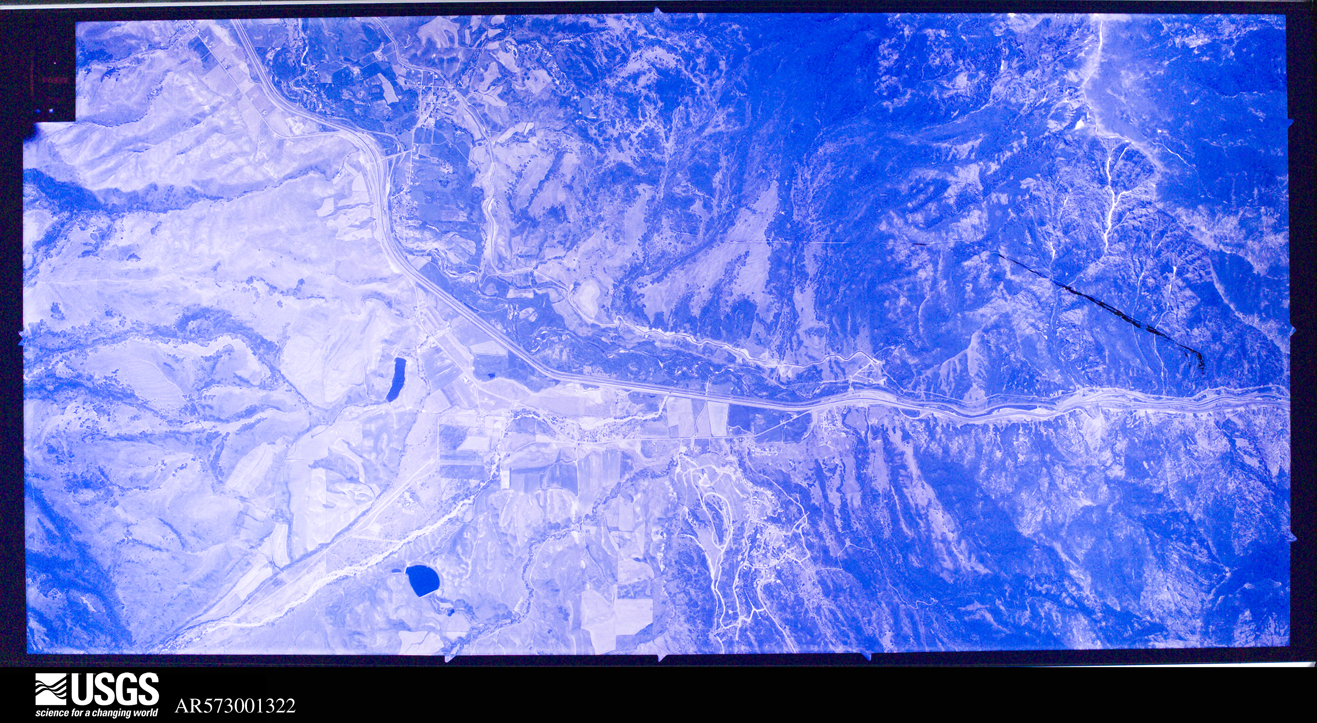
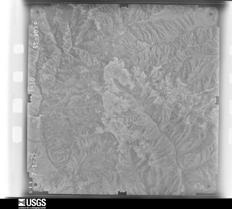
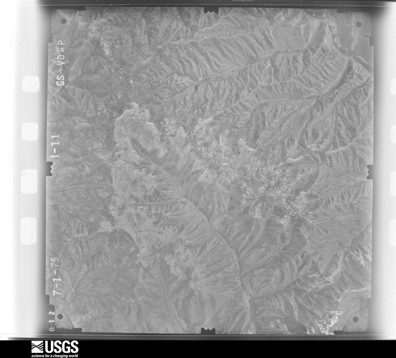
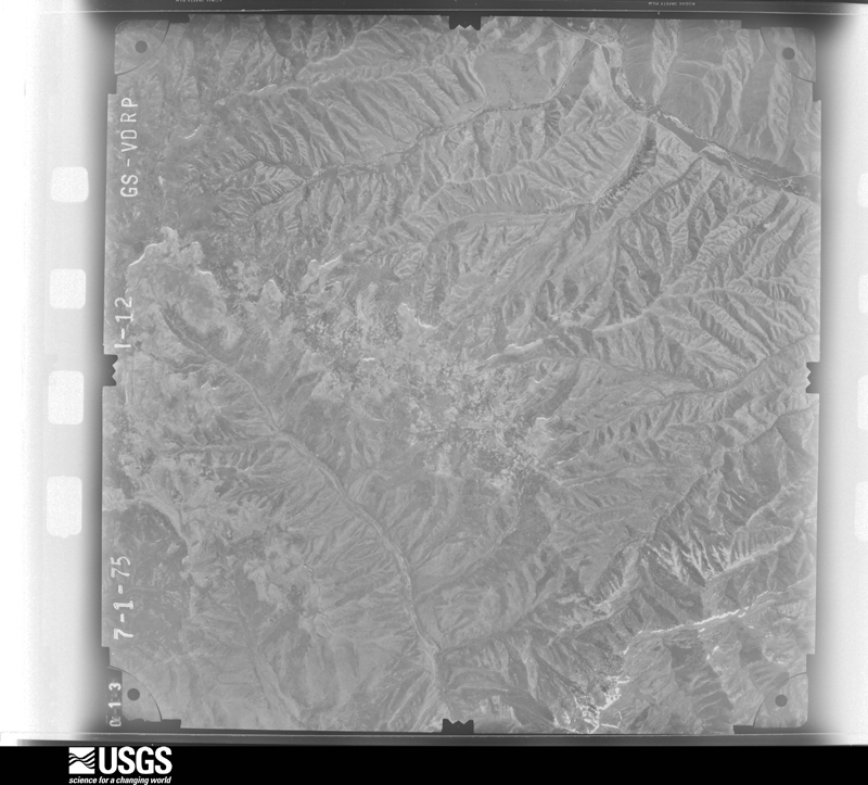
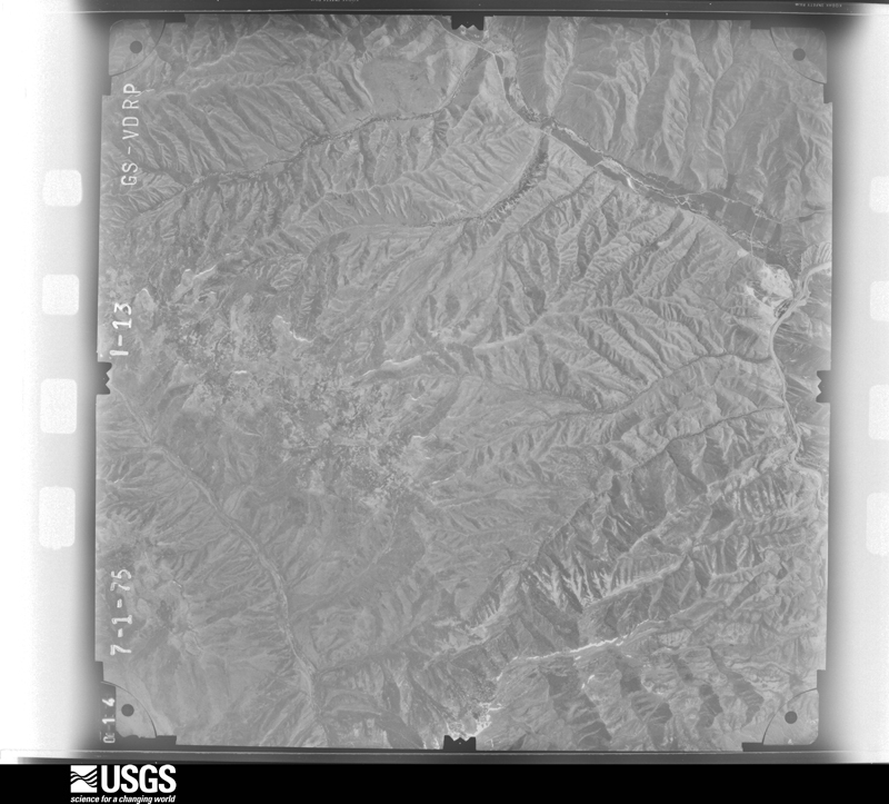
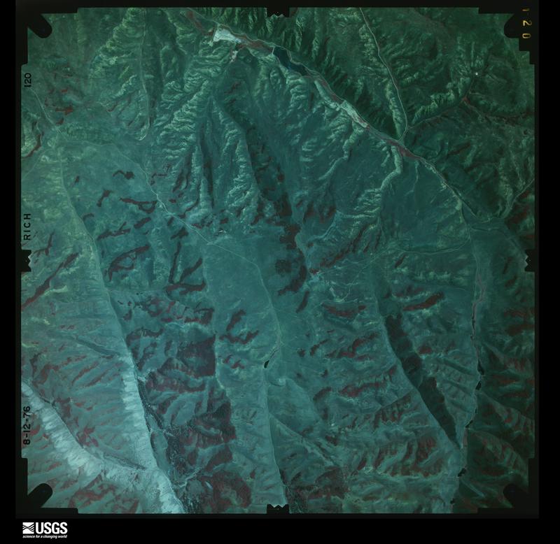
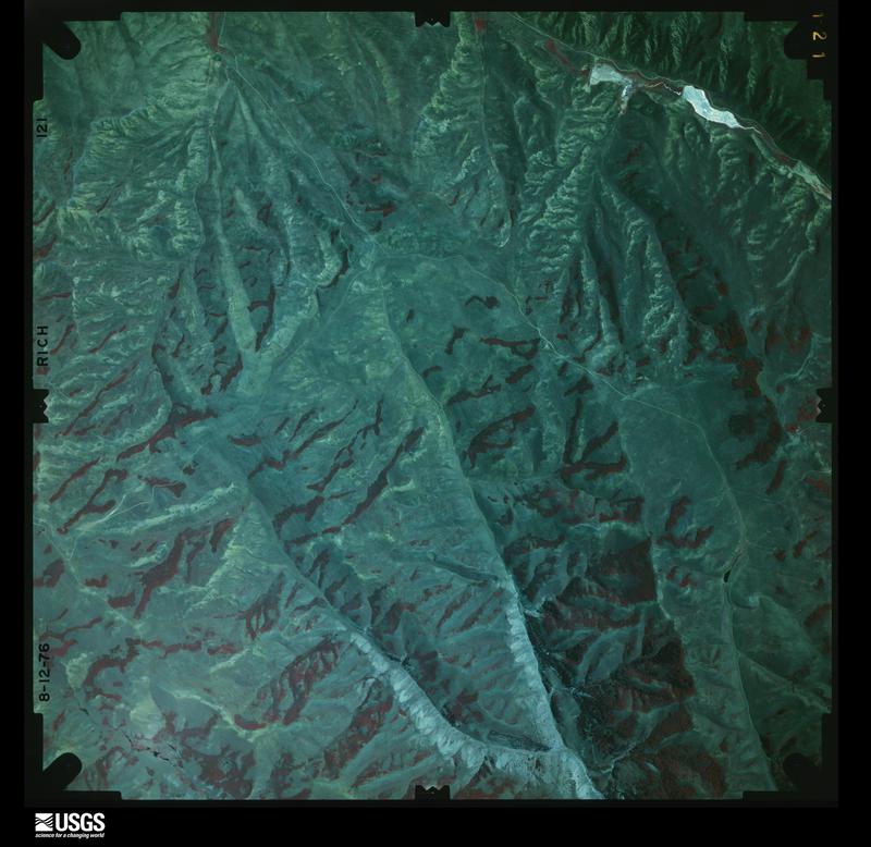
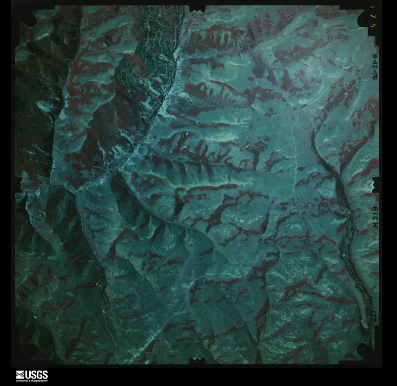
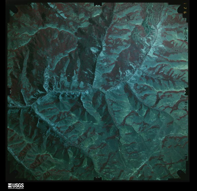
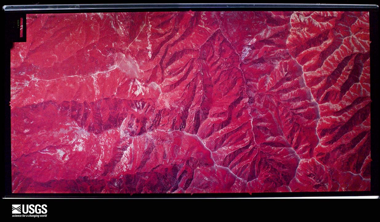
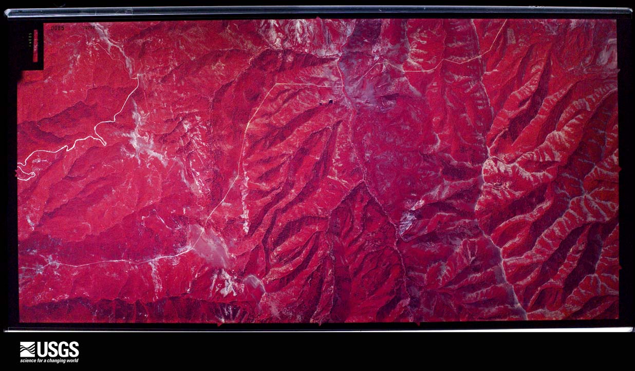
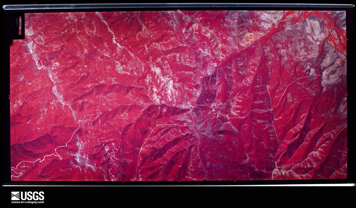
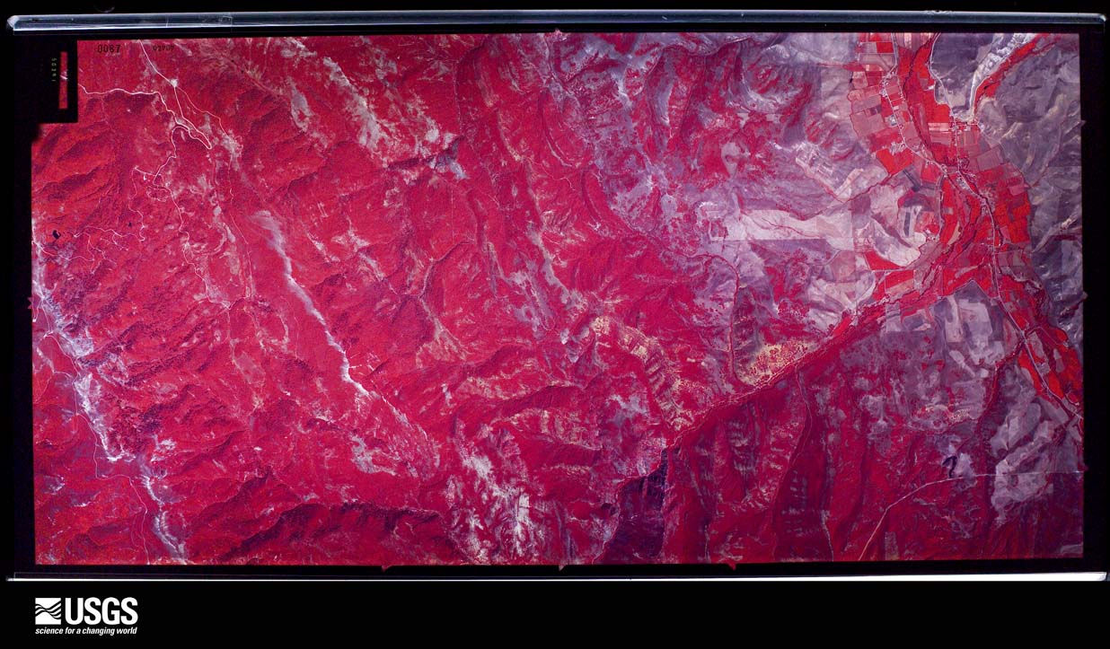
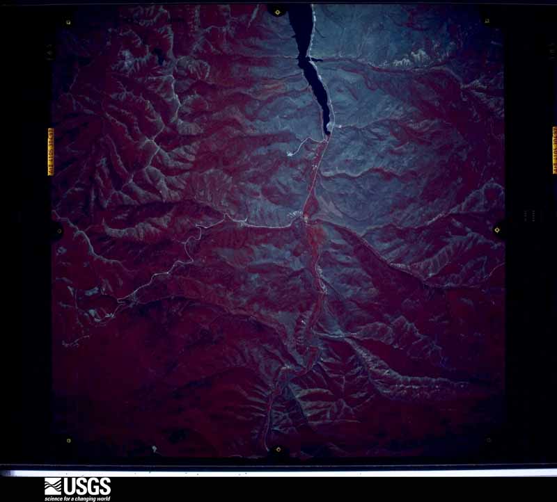
Flown by the U.S. Geological Survey between 1937 and 1989, the Aerial Photo Single Frames collection is the definitive mid-century view of the land: fields, roads and rivers as the camera saw them. The Survey holds 1,639 frames inside the rectangle that bounds this county; the 48 frames below were taken over the county itself, chosen across the decades of flights (at most four a year from that rectangle), so one flight cannot crowd out the rest. The full set is free to browse and download at EarthExplorer under the dataset Aerial Photo Single Frames.
The thermometers that kept this county's weather, and the gages that measured the flow of its streams, as the federal records hold them. The extremes below are measured values from those records, not estimates.
Who lived here in 1950, one enumeration district at a time, as the Census Bureau described each district. Each row opens its official National Archives result, with Population Schedules and ED Maps available there.
Every wildfire the federal occurrence database records inside this county: 514 of them, burning about 11,503 acres. 78 started naturally and 4 were recorded as arson. Each settlement page carries the fires within five miles of it.
| Reported cause | Fires |
|---|---|
| Missing data/not specified/undetermined | 180 |
| Debris and open burning | 120 |
| Natural | 78 |
| Equipment and vehicle use | 41 |
| Recreation and ceremony | 37 |
| Power generation/transmission/distribution | 19 |
| Railroad operations and maintenance | 16 |
| Fireworks | 12 |
| Misuse of fire by a minor | 5 |
| Arson/incendiarism | 4 |
| Smoking | 1 |
| Other causes | 1 |
The five largest, by the area the report gives. None of them was recorded as arson.
| Date | Cause | Size | Reported by | Name on the report |
|---|---|---|---|---|
| 23 July 1992 | Missing data/not specified/undetermined | 4,600 acres | Utah Division Forestry Fire State Lands | PIONEER |
| 20 July 2014 | Natural | 1,600 acres | Salt Lake Field Office | TUNNEL HOLLOW |
| 30 August 1997 | Missing data/not specified/undetermined | 810 acres | Utah Division Forestry Fire State Lands | COTTONWOOD FIRE |
| 28 July 1994 | Missing data/not specified/undetermined | 800 acres | Utah Division Forestry Fire State Lands | TRAPPER'S LOOP |
| 28 August 1996 | Missing data/not specified/undetermined | 550 acres | Utah Division Forestry Fire State Lands | MORMON TRAIL |
| 25 October 1999 | Missing data/not specified/undetermined | 550 acres | Northwest Area | HENEFER LEDGES |
| 7 August 2000 | Missing data/not specified/undetermined | 450 acres | Utah Division Forestry Fire State Lands | FRANKLIN CANYON |
| 6 September 1994 | Missing data/not specified/undetermined | 300 acres | Utah Division Forestry Fire State Lands | LOST CREEK DAM CAMP |
Every settlement page carries the fires within five miles of it - see the settlement index below.
The NOAA Storm Events Database holds 23 reports for this county, causing no deaths, no injuries and about $181,000 in recorded property damage. Each settlement page carries the reports that name it.
| Kind of event | Reports |
|---|---|
| Thunderstorm Wind | 11 |
| Flood | 6 |
| Hail | 3 |
| Heavy Rain | 1 |
| Flash Flood | 1 |
| Funnel Cloud | 1 |
The most serious of them, by death, then injury, then recorded damage. The accounts are quoted exactly as the forecast office filed them.
| When | Event | Place named | Harm | What the report says |
|---|---|---|---|---|
| January 2012 | Flood | Morgan | $50,000 | Heavy rain caused flooding in and around the town of Morgan, Utah, with the most damage occurring along Morgan Valley Drive. Four residential basements were flooded in this area, and water flowed over some roadways. |
| May 2011 | Flood | Croydon | $50,000 | Lost Creek reached flood stage for the last week of May. Multiple bridges along Lost Creek were impacted by rising flood waters, and low lying roads were damaged as well. |
| August 2000 | Flash Flood | Countywide | $50,000 | no account filed |
| March 2011 | Flood | Gateway | $15,000 | Many local creeks went over their banks in Morgan County, with the worst of the flooding occurring along Morgan Valley Drive near the town of Peterson, where authorities had to spend a day cleaning up the debris that had spilled over the roadway. In addition, a couple of homes sustained flood damage in the towns of Peterson and Mountain Green. |
| April 2011 | Flood | Portersville | $10,000 | Flooding occurred in several drainages in Morgan County, including East Canyon Creek, Deep Creek, and Hardscrabble Creek. East Canyon Creek rose from 200 cfs to 800 cfs overnight. The flooding was primarily in agricultural areas, but flood waters also impacted roads in the town of Peterson, as well as low lying bridges along the creeks. |
| April 2023 | Flood | Morgan | $5,000 | State Route 66 between Morgan and East Canyon Reservoir began flooding on the 12th, resulting in closure. It was opened the next day. |
| July 2023 | Thunderstorm Wind | Morgan | $1,000 | Power lines were downed in Morgan. |
| May 2025 | Thunderstorm Wind | Stoddard | - | The The Head mesonet station recorded a wind gust of 65 mph as a result of outflow winds associated with a nearby cluster of showers and thunderstorms moving through the area. |
| July 2025 | Hail | Morgan | - | Public social media photo of hail approximately 1 inch in diameter. Time estimated by radar. |
| July 2025 | Thunderstorm Wind | Croydon | - | The Stokes Canyon mesonet station recorded a wind gust of 63 mph as a result of outflow winds associated with a nearby cluster of showers and thunderstorms moving through the area. |
| July 2024 | Thunderstorm Wind | Gateway | - | The Weber Canyon mesonet station recorded a wind gust of 60 mph as a result of outflow winds associated with a nearby cluster of showers and thunderstorms moving through the area. |
| July 2024 | Thunderstorm Wind | Stoddard | - | The Head mesonet station recorded an initial peak wind gust of 74 mph at 5:50 pm MST, followed by a wind gust of 65 mph at 6:00 pm MST. These gusts were the result of outflow winds associated with a nearby cluster of showers and thunderstorms moving through the area. |
| August 2021 | Thunderstorm Wind | Strawberry | - | The Trappers Loop Road automated weather station recorded a peak wind gust of 63 mph. |
| April 2018 | Thunderstorm Wind | Croydon | - | A peak wind gust of 58 mph was reported at I-84 at Devil's Slide. |
| September 2016 | Thunderstorm Wind | Gateway | - | The Snowbasin-Straw Top sensor reported a peak wind gust of 59 mph. |
| August 2015 | Thunderstorm Wind | Portersville | - | The SR-65 at Big Mountain Pass sensor recorded a peak wind gust of 80 mph. |
| September 2013 | Funnel Cloud | Morgan | - | A funnel cloud was reported and photographed near Morgan, Utah. The time listed is approximate. |
| April 2011 | Thunderstorm Wind | Gateway | - | A sensor at Snowbasin Resort recorded a wind gust of 63 mph. |
| April 2011 | Flood | Gateway | - | The Weber River at Gateway gauge reached a peak of 4640 cfs, above its flood stage of 4140 cfs. No damage was reported in this section of Morgan County with these increased flows. |
| July 2007 | Thunderstorm Wind | Devils Slide | - | The sensor on Ogden Peak measured a wind gust of 55 knots. |
| August 2002 | Hail | Morgan | - | Severe thunderstorms produced 3/4 inch hail in the Morgan Valley. |
| April 1999 | Heavy Rain | Countywide | - | no account filed |
| August 1983 | Hail | not stated | - | no account filed |
The Survey's mineral resources record lists 79 workings inside this county. 10 still produce and 69 are closed or unrecorded. Each settlement page carries the workings within five miles of it.
| Commodity | Workings |
|---|---|
| Sand and Gravel, Construction | 37 |
| Iron | 11 |
| Copper | 8 |
| Phosphorus-Phosphates | 6 |
| Uranium | 4 |
| Silver, Lead, Zinc | 3 |
| Stone, Crushed/Broken | 3 |
| Mica | 2 |
| Silver, Lead, Gold | 2 |
| Silver | 2 |
| Zinc, Lead, Iron | 2 |
| Molybdenum, Uranium | 1 |
| Limestone, General | 1 |
| Copper, Silver, Gold | 1 |
The least common of them first, because a county's hundredth gravel pit says nothing its first ten did not.
| Where | Site | Commodity | Status | Recorded |
|---|---|---|---|---|
| Arthur Fork | Molybdenum, Uranium | Occurrence | Molybdenite, Uraninite | |
| Arthur Fork Prospect | Molybdenum, Uranium, REE | Occurrence | Molybdenite, Monazite, Uraninite, Xenotime | |
| Devils Slide Quarry and Plant | Limestone, General | Producer | Surface | |
| Iron King | Gold, Copper | Occurrence | Vein | |
| Morgan Chief Mine | Lead, Zinc, Silver | Past Producer | ||
| Morgan-Argentine Property | Gold, Lead, Silver | Past Producer | Underground | |
| Red Eagle and Morgan Consolidated | Copper, Silver, Gold | Occurrence | Vein | |
| Utah Highway Dept No 15022 | Stone | Past Producer | ||
| Carbonate Gem | Silver, Zinc, Lead, Iron | Past Producer | ||
| Carbonate Gem Mine | Silver, Lead, Gold | Past Producer | 1905 | |
| Carbonate Hill Mine | Silver, Zinc, Lead, Iron | Past Producer | ||
| Morgan Chief Mine | Silver, Lead, Gold | Prospect | Underground | |
| Unknown Prospect | Mica | Occurrence | Muscovite | |
| Unknown Prospect | Mica | Past Producer | ||
| Carbonate Gem | Silver, Lead, Zinc, Iron | Past Producer | 1882 | |
| Carbonate Hill Mine | Silver, Lead, Zinc, Iron | Past Producer | 1882, 1905 | |
| Devil S Slide Quarry | Stone, Crushed/Broken | Producer | ||
| Devils Slide Plant | Stone, Crushed/Broken | Producer | ||
| Morgan Argentine | Silver, Lead, Zinc, Iron | Past Producer | Vein | |
| Utah Dept. of Highway Pit No. 15022 | Stone, Crushed/Broken | Producer | Surface | |
| Alice Mawle Mine | Uranium | Occurrence | ||
| Arthur Fork | Uranium | Occurrence | Vein | |
| Lucky L | Uranium | Occurrence | ||
| Surprise Group | Uranium | Occurrence | ||
| Devil'm Slide Phosphate Locality | Phosphorus-Phosphates | Occurrence | CHEMICAL SEDIMENT | |
| Devils Slide Phosphate Locality | Phosphorus-Phosphates | Past Producer | ||
| Dry Creek Phosphate Deposit | Phosphorus-Phosphates | Occurrence | ||
| Dry Creek Phosphate Deposit | Phosphorus-Phosphates | Past Producer | ||
| Phosphate Deposits | Phosphorus-Phosphates | Occurrence | ||
| Phosphate Deposits | Phosphorus-Phosphates | Occurrence | ||
| Phil Shop Hollow Copper Prospect | Copper | Occurrence | Vein | |
| Phil Shop Hollow Copper Prospect | Copper | Past Producer | ||
| Ree's Ranch Adit | Copper, Iron | Occurrence | Jarosite, Limonite, Malachite | |
| Rees Ranch Adit | Copper, Iron | Past Producer | ||
| Strawberry Mine | Copper, Iron | Past Producer | Limonite, Malachite | |
| Strawberry Mine | Copper, Iron | Past Producer | ||
| Tunnel Hollow and Mine Hollow Prosp | Copper | Past Producer | ||
| Tunnel Hollow and Mine Hollow Prospects | Copper | Occurrence | Vein | |
| Queen of the West Mine | Iron | Past Producer | 1879 | |
| Queen of the West Mine | Iron | Past Producer | 1879, 1885 | |
| Unknown Claim | Iron | Occurrence | Hematite, Limonite | |
| Unknown Claim | Iron | Past Producer | ||
| Devils Slide Gravel Deposits | Sand and Gravel, Construction | Past Producer | ||
| Devils Slide Gravel Deposits | Sand and Gravel, Construction | Occurrence | CLASTIC SEDIMENTARY | |
| Gravel Pit | Sand and Gravel, Construction | Past Producer | Surface | |
| Gravel Pit In Twn 4n Rng 2e Sec 26 | Sand and Gravel, Construction | Past Producer | ||
| Gravel Pit In Twn 5n Rng 1e Sec 25 | Sand and Gravel, Construction | Past Producer | ||
| Gravel Pit No 5 | Sand and Gravel, Construction | Past Producer | Unconsolidated Sediments | |
| Pine Canyon Gravel Deposit | Sand and Gravel, Construction | Occurrence | ||
| Pine Canyon Gravel Deposit | Sand and Gravel, Construction | Past Producer | ||
| Unknown Gravel Pit | Sand and Gravel, Construction | Producer | Unconsolidated Sediments | |
| Unknown Gravel Pit | Sand and Gravel, Construction | Producer | ||
| Ut Dept Hwys Gravel Pit 15034 | Sand and Gravel, Construction | Producer | ||
| Ut Dept of Hwy Pit 15005 | Sand and Gravel, Construction | Past Producer | Surface | |
| Ut Dept of Hwys Gravel Pit 15038 | Sand and Gravel, Construction | Past Producer | ||
| Ut Dept of Hwys No 15012 | Sand and Gravel, Construction | Occurrence | Surface | |
| Ut Dept of Hwys Pit 15003 | Sand and Gravel, Construction | Past Producer | Surface | |
| Ut Dept of Hwys Pit 15004 | Sand and Gravel, Construction | Past Producer | Surface | |
| Ut Dept of Hwys Pit 15007 | Sand and Gravel, Construction | Past Producer | Surface | |
| Ut Dept of Hwys Pit 15019 | Sand and Gravel, Construction | Past Producer | ||
| Ut Dept of Hwys Pit No 15003 | Sand and Gravel, Construction | Past Producer | ||
| Ut Dept of Hwys Pit No 15004 | Sand and Gravel, Construction | Past Producer | ||
| Ut Dept of Hwys Pit No 15005 | Sand and Gravel, Construction | Past Producer | ||
| Ut Dept of Hwys Pit No 15007 | Sand and Gravel, Construction | Past Producer | ||
| Ut Dept of Hwys Pit No 15009 | Sand and Gravel, Construction | Past Producer | Surface | |
| Ut Dept of Hwys Pit No 15009 | Sand and Gravel, Construction | Past Producer | ||
| Ut Dept of Hwys Pit No 15012 | Sand and Gravel, Construction | Past Producer | ||
| Ut Dept of Hwys Pit No 15019 | Sand and Gravel, Construction | Past Producer | ||
| Ut Dept of Hwys Pit No 15032 | Sand and Gravel, Construction | Producer | ||
| Ut Dept of Hwys Pit No 29047 | Sand and Gravel, Construction | Past Producer | ||
| Ut Dept of Hwys Pit No. 15032 | Sand and Gravel, Construction | Producer | Surface | |
| Ut St Dept Hwys Gravel Pit 15037 | Sand and Gravel, Construction | Past Producer | ||
| Ut State Dept Hwys Gravel Pit 15039 | Sand and Gravel, Construction | Past Producer | ||
| Ut. Dept of Hwys Pit 15002 | Sand and Gravel, Construction | Past Producer | Surface | |
| Ut. Dept. of Highways Pit No. 15039 | Sand and Gravel, Construction | Past Producer | Unconsolidated Sediments | |
| Ut. Dept. of Hwys Gravel Pit No. 15037 | Sand and Gravel, Construction | Past Producer | Unconsolidated Sediments | |
| Ut. Dept. of Hwys Pit No 15038 | Sand and Gravel, Construction | Past Producer | Unconsolidated Sediments | |
| Ut. Dept. of Hwys Pit No. 15040 | Sand and Gravel, Construction | Past Producer | Unconsolidated Sediments | |
| Ut. Dept. of Hwys, Pit No 15034 | Sand and Gravel, Construction | Producer | Unconsolidated Sediments |
Named settlements recorded in the Geographic Names Information System, each with the topographic sheets covering it. Villages, hamlets and abandoned places alike. Each is shown with the nearest named watercourse or landform and the survey quadrangle it falls on. The 1 place that was also surveyed for fire insurance comes first, with the number of atlases and photographs held for them.
Morgan North census division · 84050 · Near Metz Hollow · Morgan quadrangle
13 sheets, 1954 to 1997
Fire insurance: 3 atlases
Morgan North census division · 84050 · Near Upper Weber Canyon · Morgan quadrangle
13 sheets, 1954 to 1997
Morgan North census division · 84018 · Near Little Hollow · Devils Slide quadrangle
12 sheets, 1954 to 1997
Morgan North census division · 84050 · Near Powder Hollow · Devils Slide quadrangle
12 sheets, 1954 to 1997
Morgan North census division · 84050 · Near Spring Hollow · Morgan quadrangle
13 sheets, 1954 to 1997
Morgan South census division · 84050 · On East Canyon Creek · Morgan quadrangle
13 sheets, 1954 to 1997
Morgan North census division · 84050 · On Line Creek · Morgan quadrangle
13 sheets, 1954 to 1997
Morgan North census division · 84050 · On Dry Creek · Snow Basin quadrangle
11 sheets, 1954 to 1998
Morgan South census division · 84050 · On Peterson Creek · Peterson quadrangle
13 sheets, 1954 to 1998
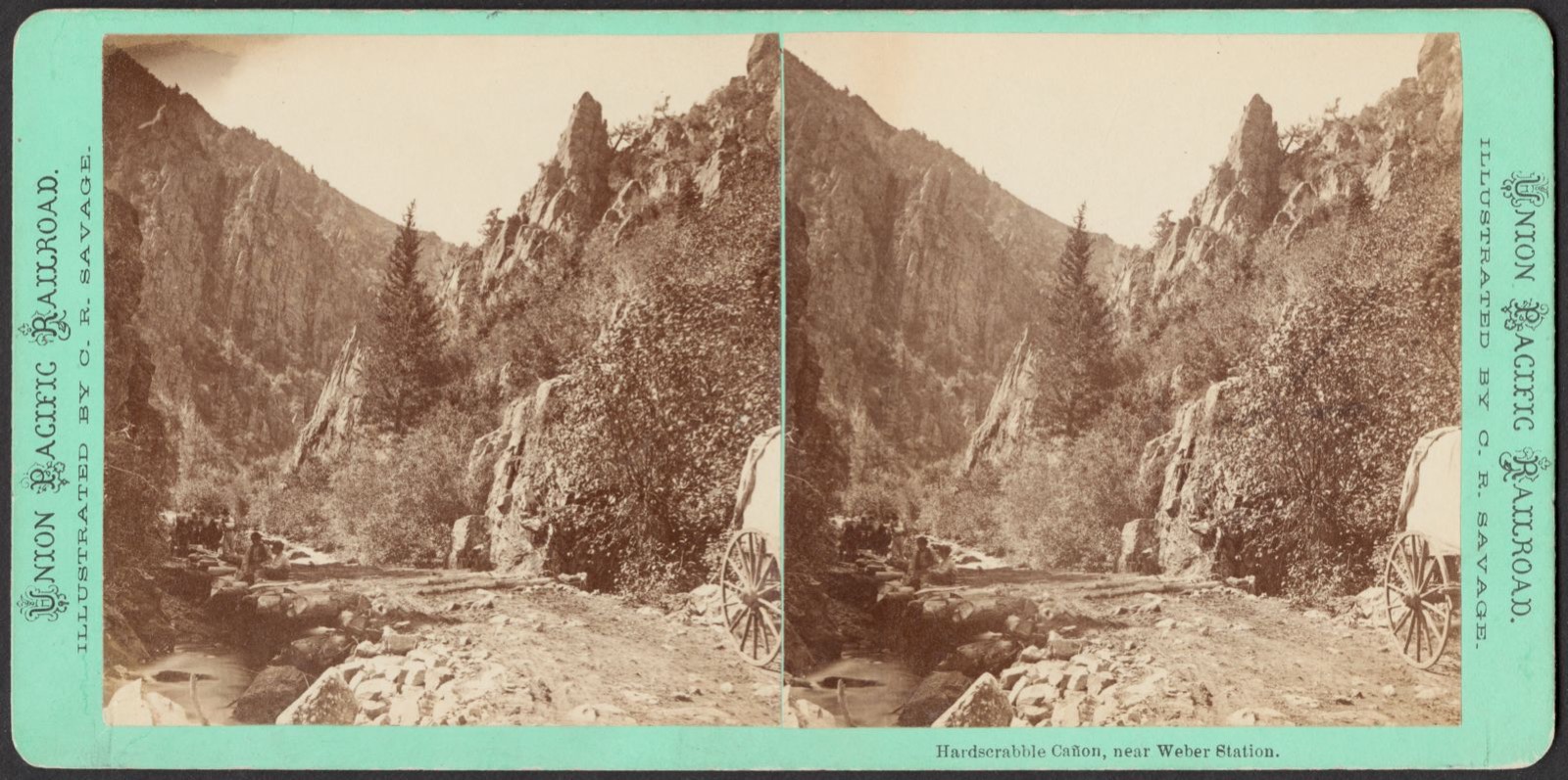
Morgan South census division · 84050 · On Hardscrabble Creek · Porterville quadrangle
23 sheets, 1885 to 1998
Morgan South census division · 84050 · Near Taggart Hollow · Morgan quadrangle
13 sheets, 1954 to 1997
Morgan North census division · 84050 · Near Big Hollow · Morgan quadrangle
13 sheets, 1954 to 1997
Morgan North census division · 84050 · Near Sharps Hollow · Devils Slide quadrangle
12 sheets, 1954 to 1997
Morgan South census division · 84050 · Near Jones Hollow · Porterville quadrangle
23 sheets, 1885 to 1998
13 topographic sheets and 3 fire insurance atlases, 1913 to 1929