 Block
From the record
2 National Register listings published here.
Sources: the National Register database, National Park Service
64 topographic sheets and 2 fire insurance atlases across 1 place.
2 National Register listings published here.
Sources: the National Register database, National Park Service
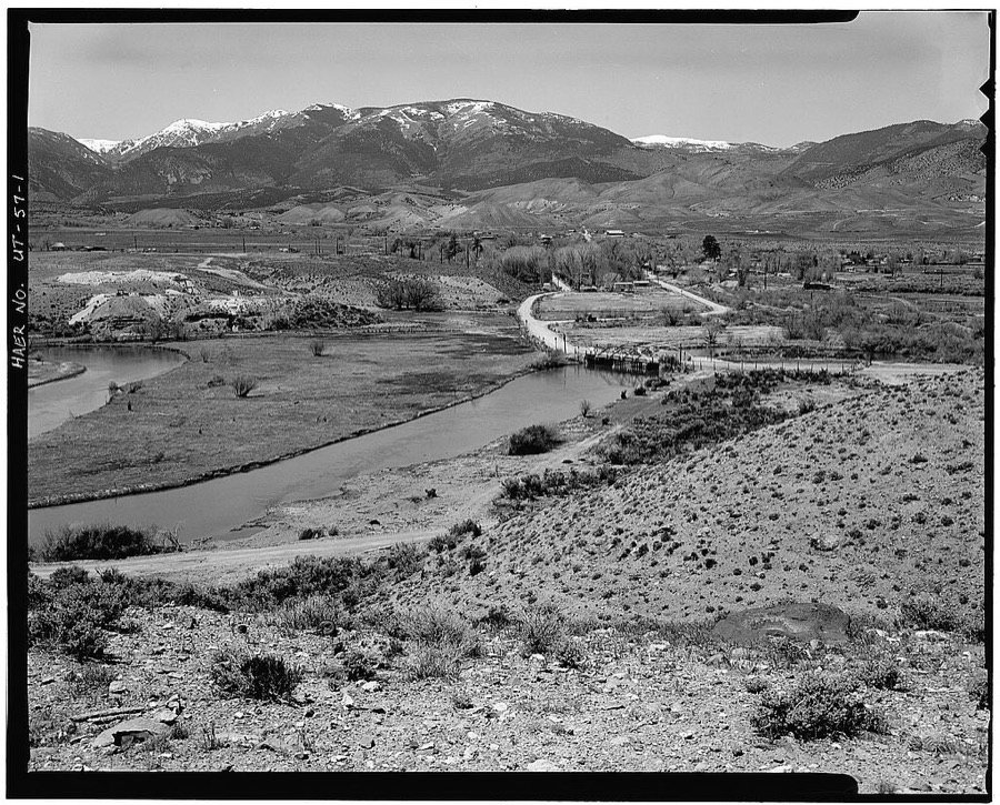
Taken for the Office of War Information and the Farm Security Administration, who photographed the country between 1935 and 1944. Works of United States government photographers, with no known restriction on use. Each opens its catalogue record.
Every property in this county listed on the National Register of Historic Places, with the year it was listed and the federal nomination document.
| Photograph | Property | Type | Listed | Reference |
|---|---|---|---|---|
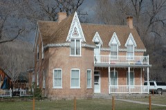 | John and Ella Morrill House | building | 1994 | 94000294 |
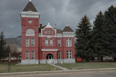 | Piute County Courthouse | building | 1971 | 71000844 |
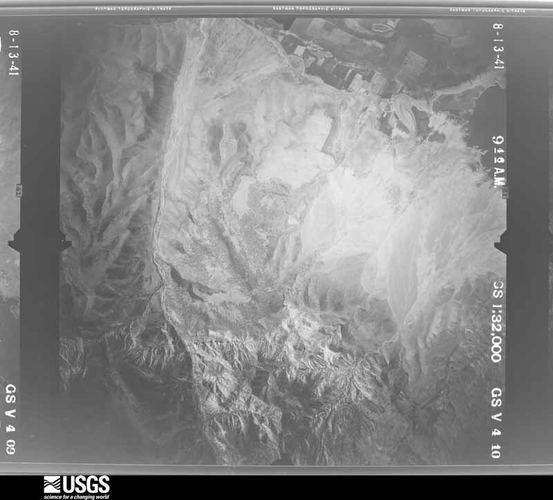
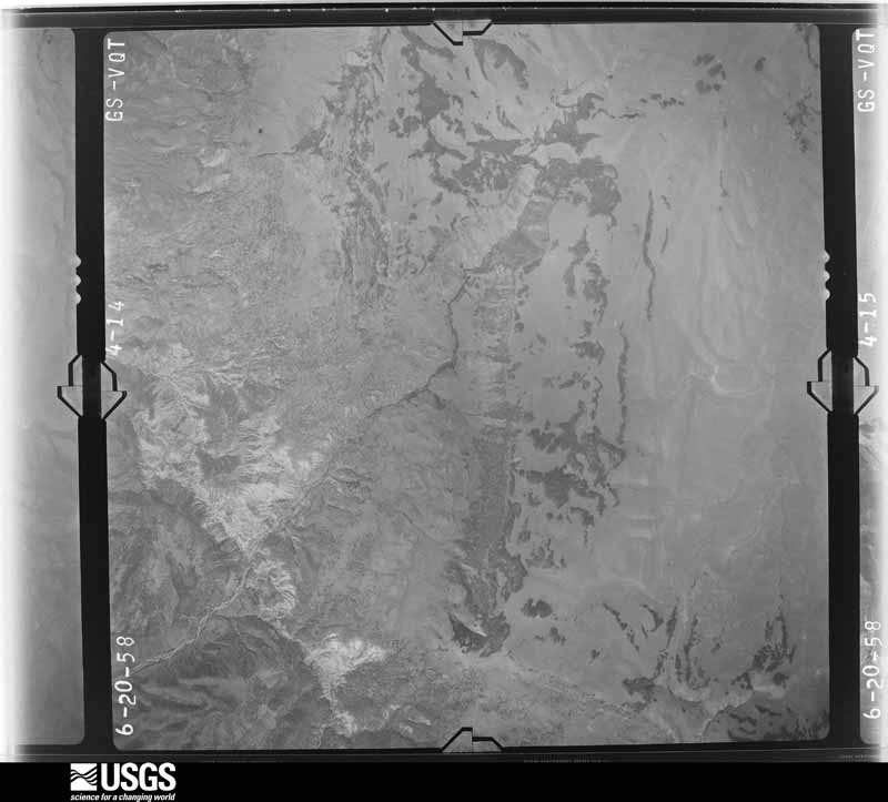
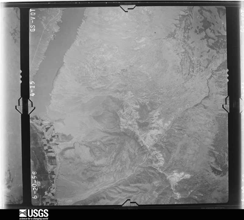
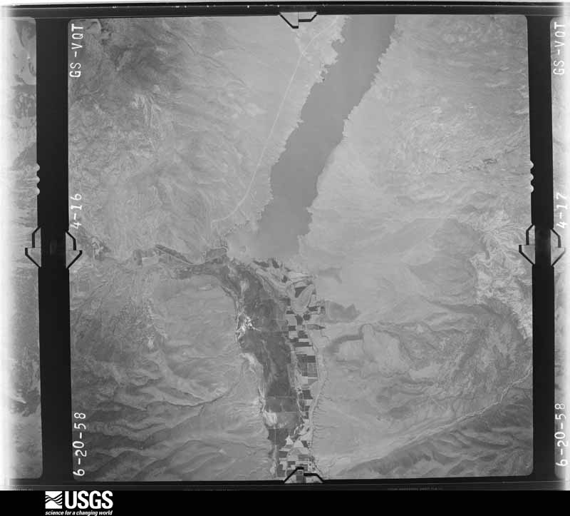
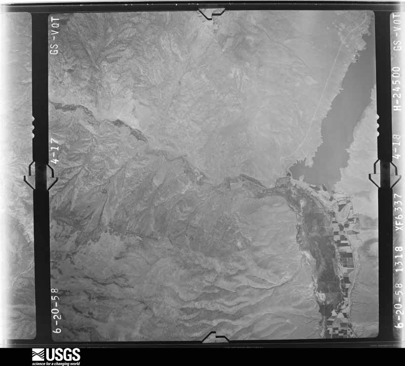
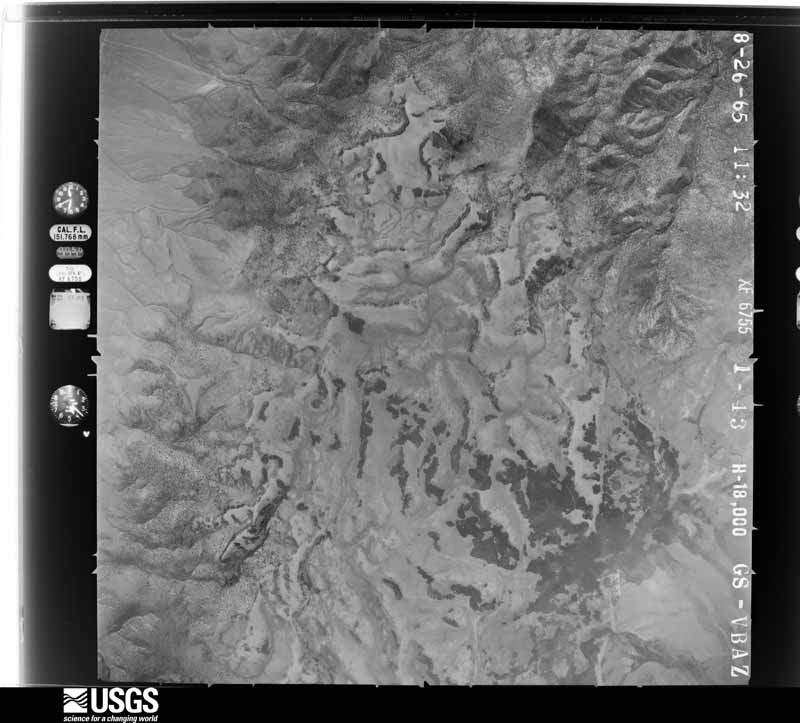
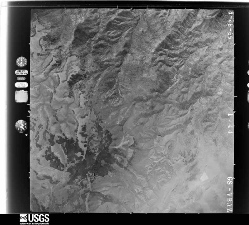
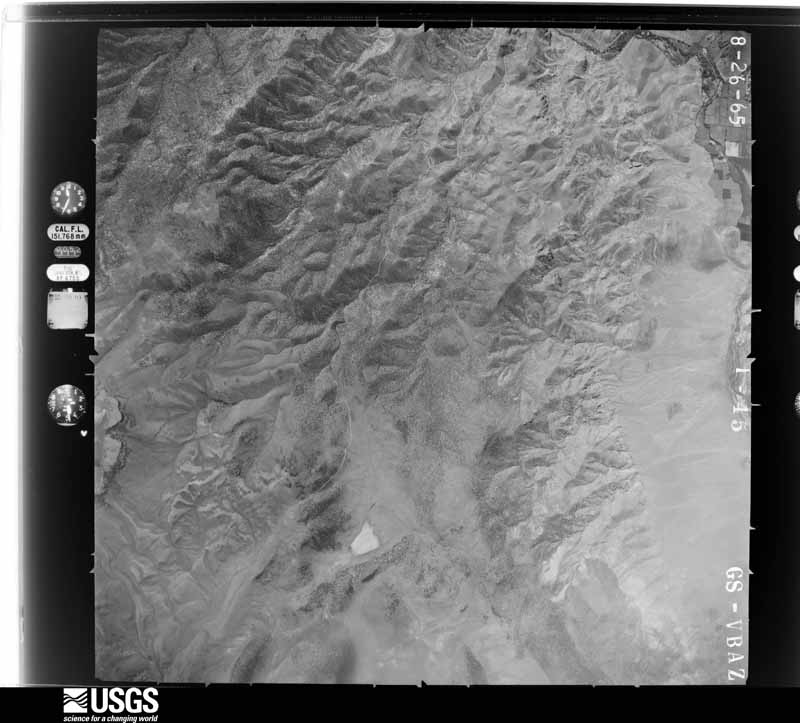
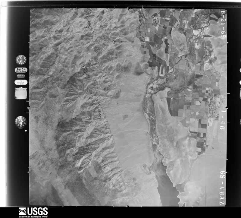
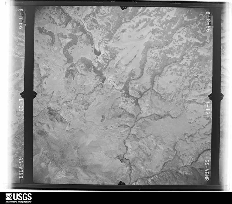
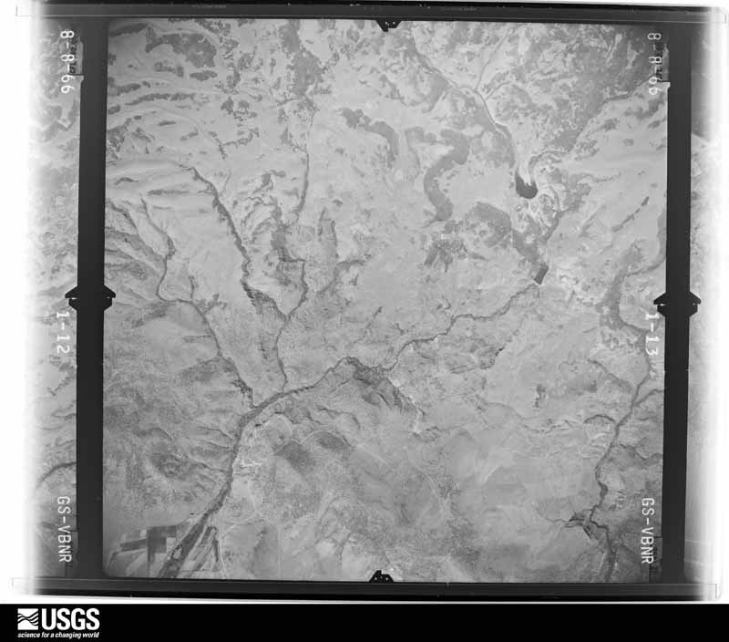
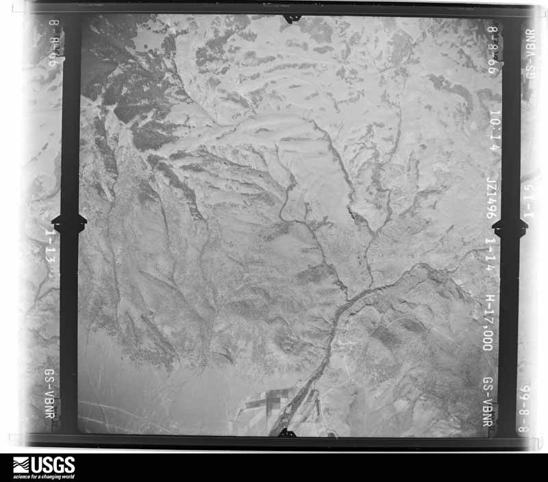
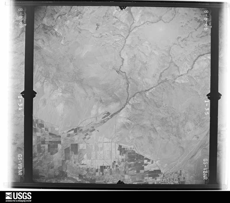
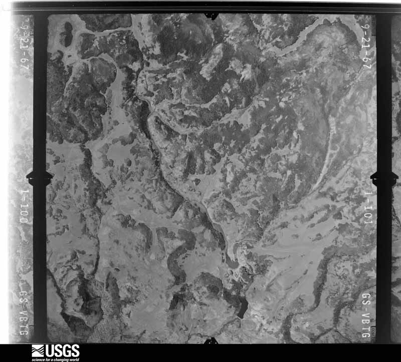
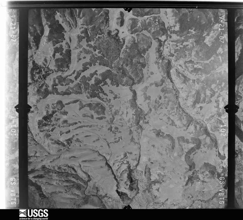
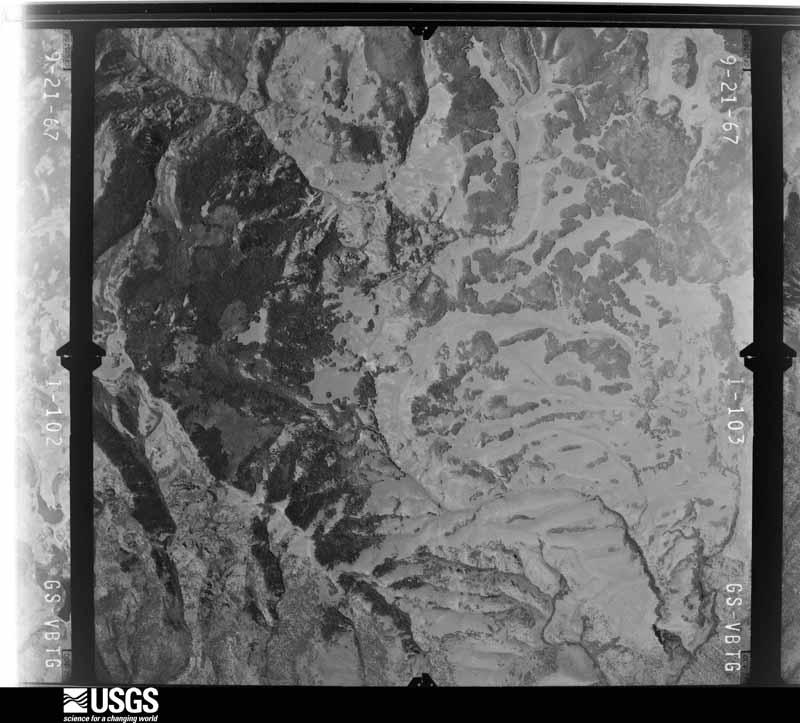
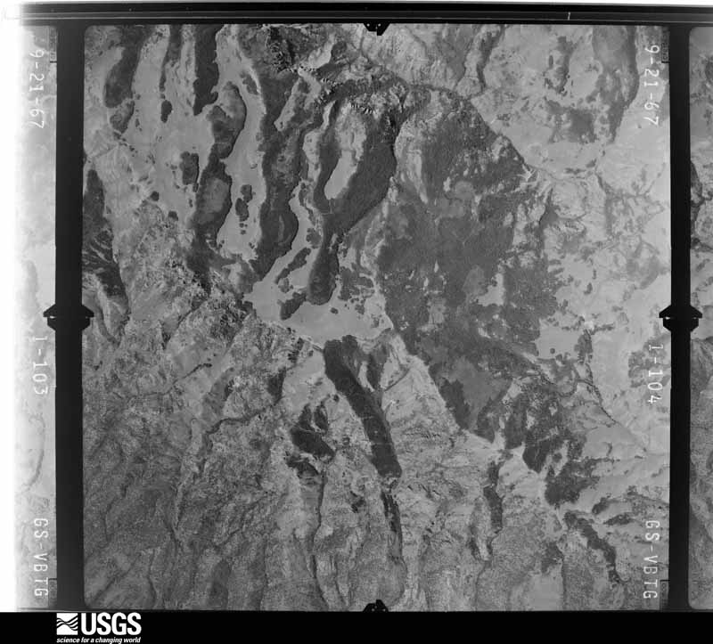
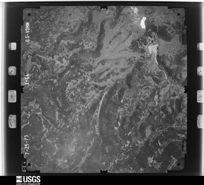
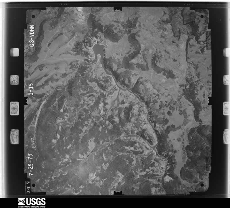
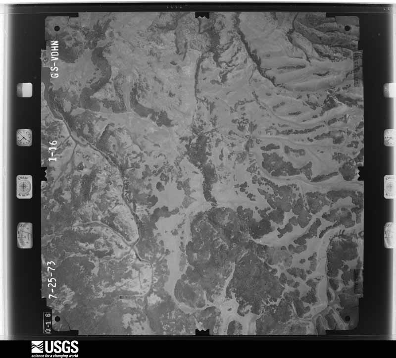
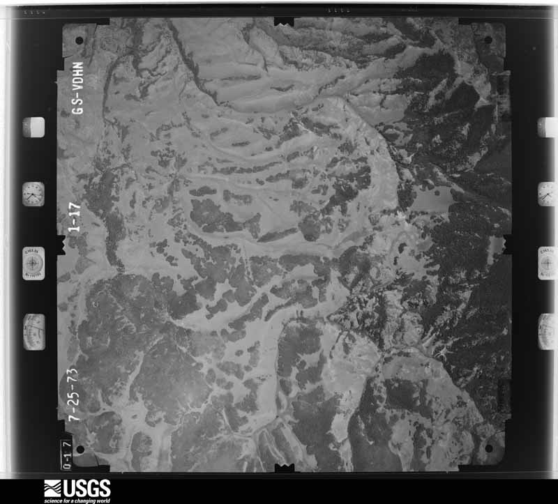
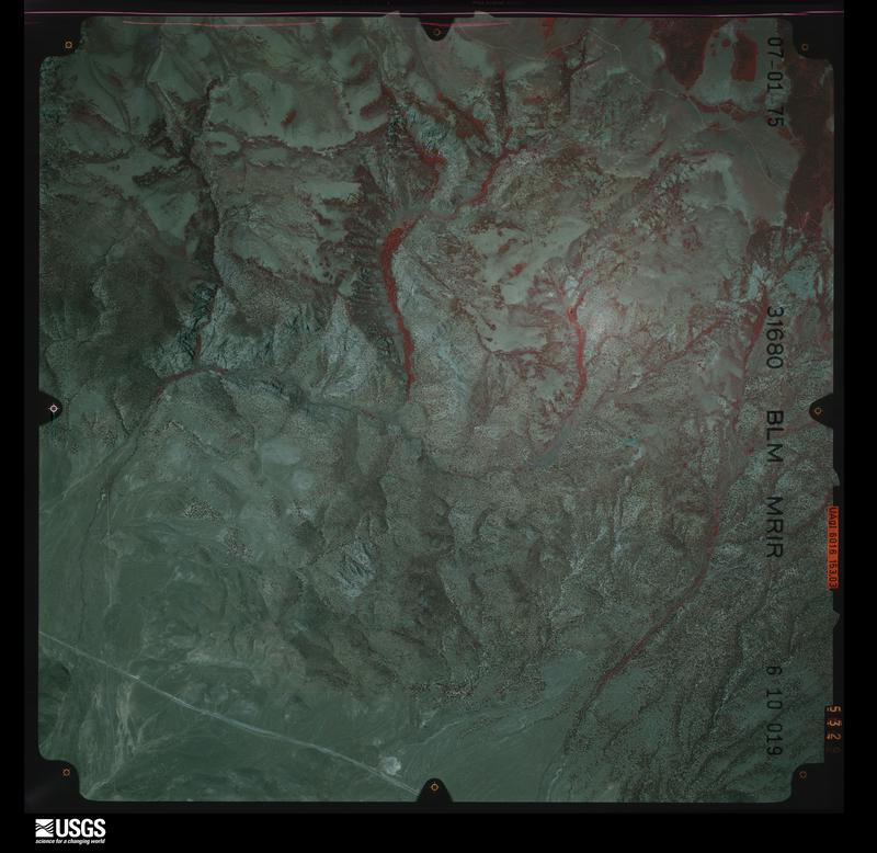
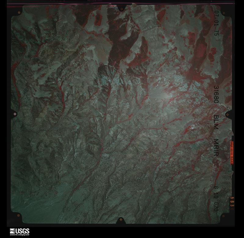
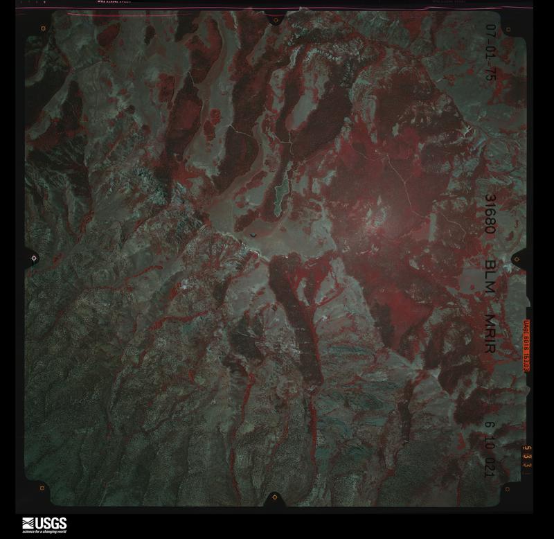
Flown by the U.S. Geological Survey between 1937 and 1989, the Aerial Photo Single Frames collection is the definitive mid-century view of the land: fields, roads and rivers as the camera saw them. The Survey holds 1,458 frames inside the rectangle that bounds this county; the 48 frames below were taken over the county itself, chosen across the decades of flights (at most four a year from that rectangle), so one flight cannot crowd out the rest. The full set is free to browse and download at EarthExplorer under the dataset Aerial Photo Single Frames.
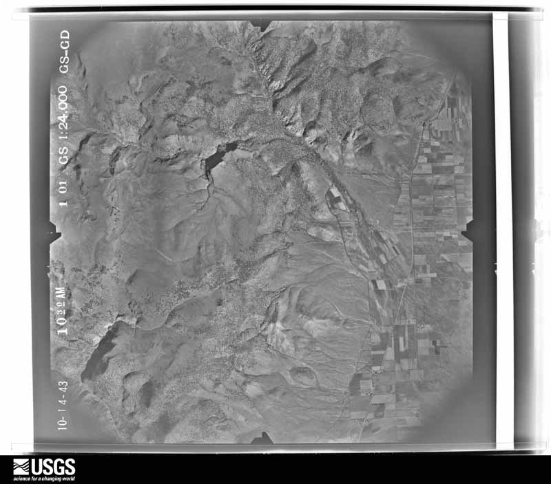
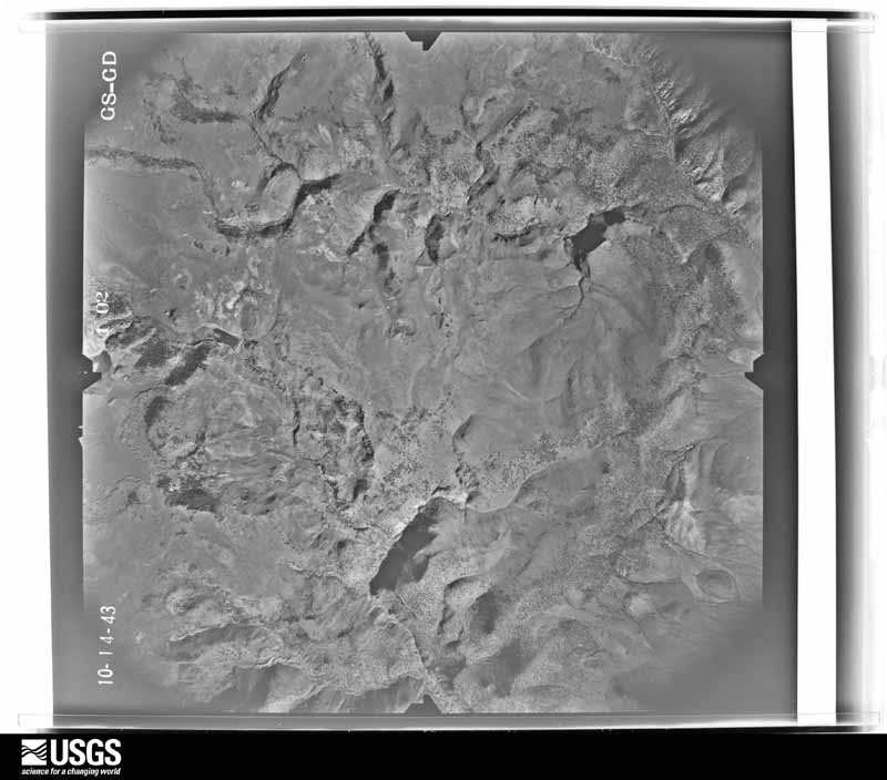
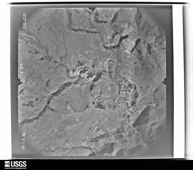
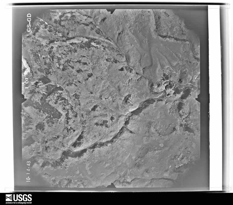
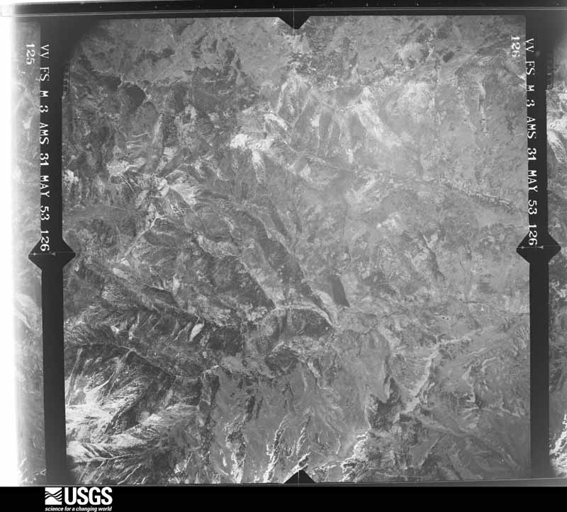
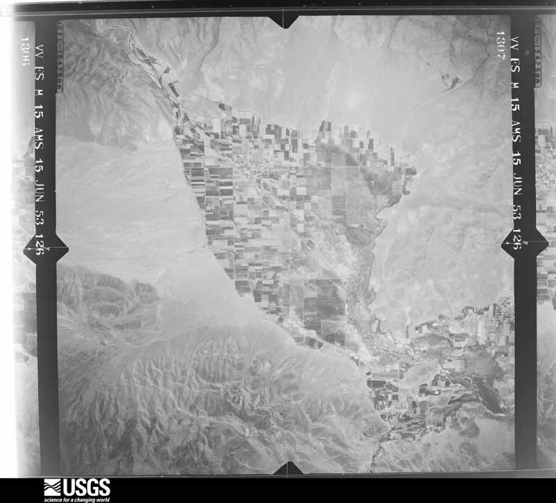
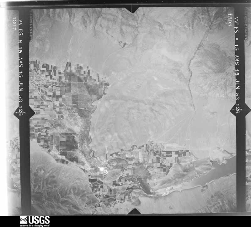
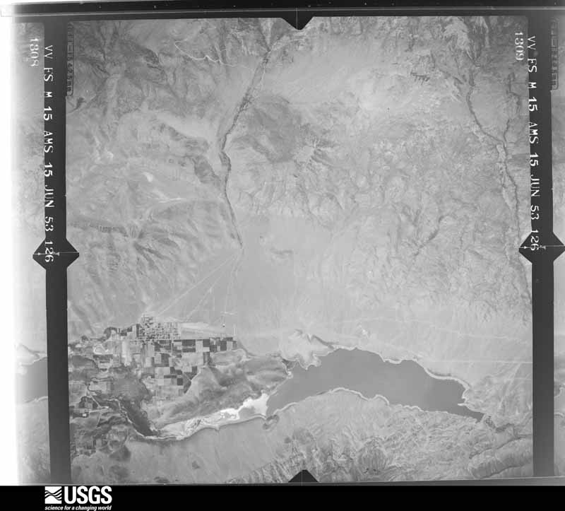
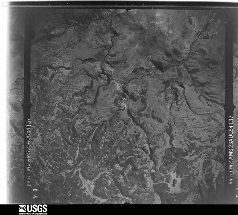
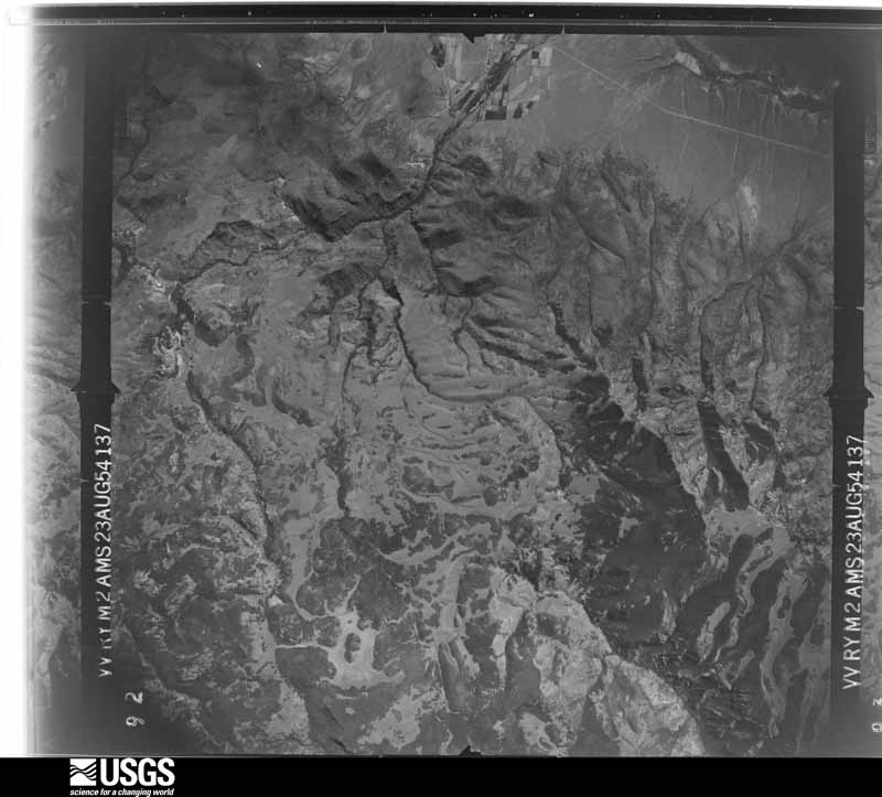
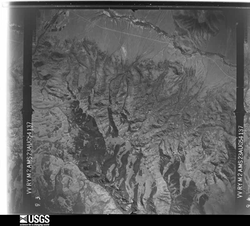
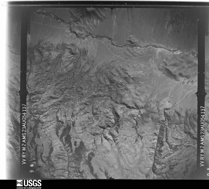
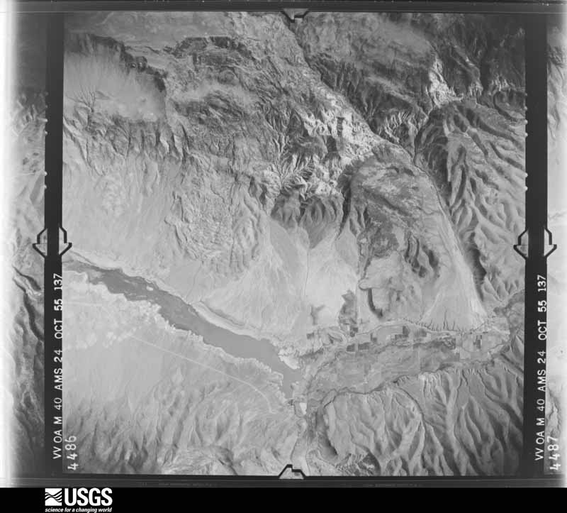
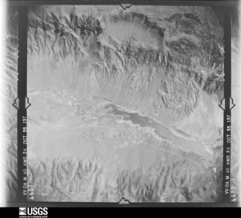
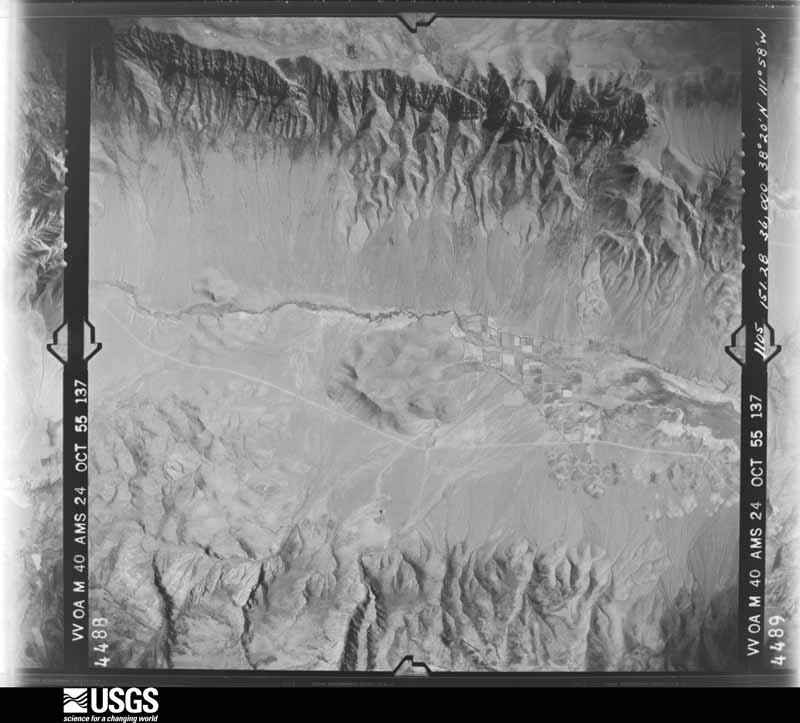
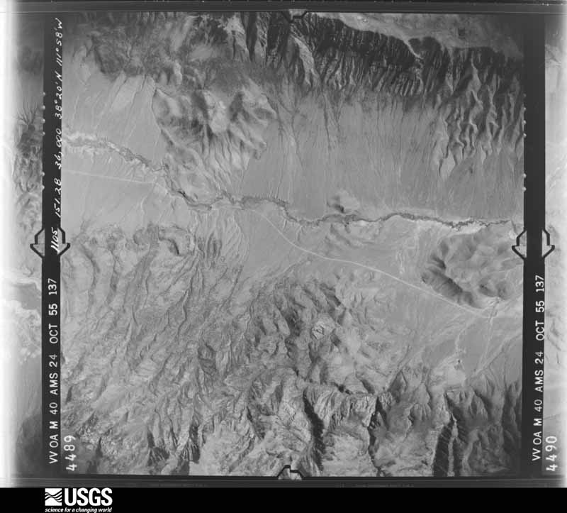
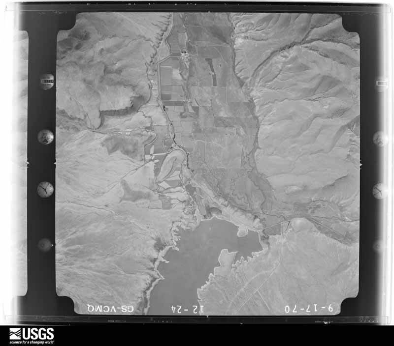
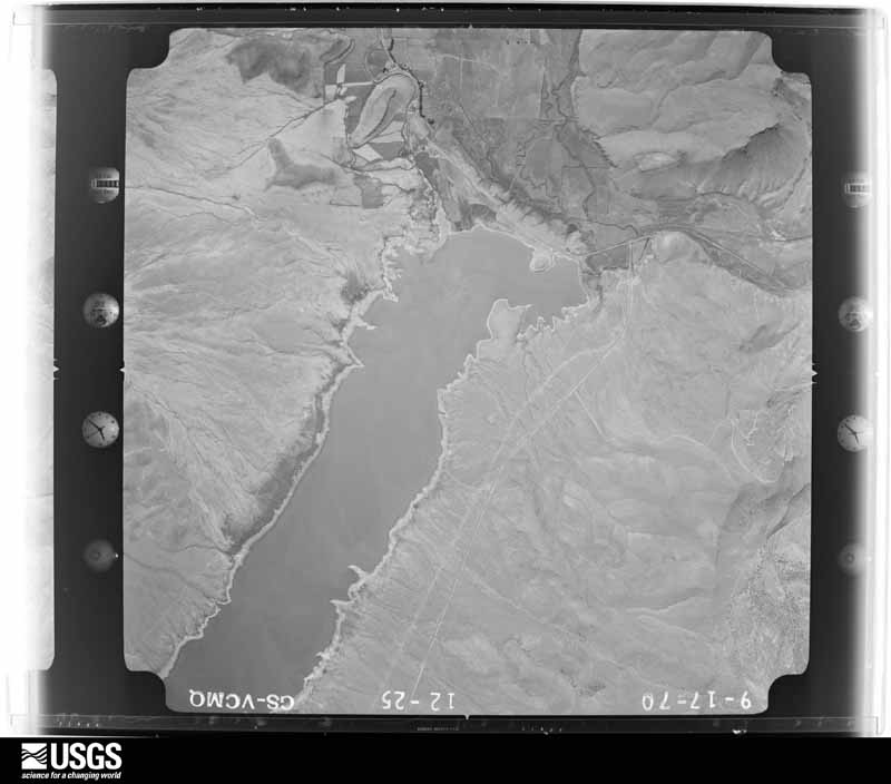
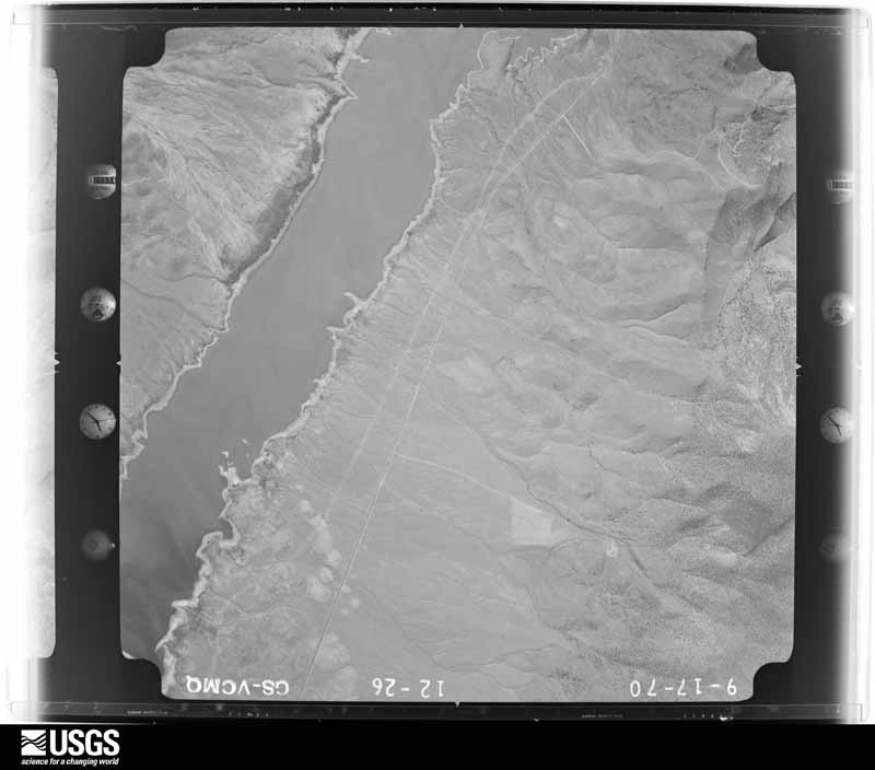
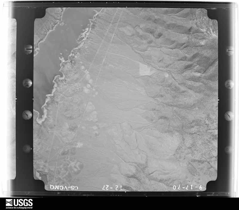
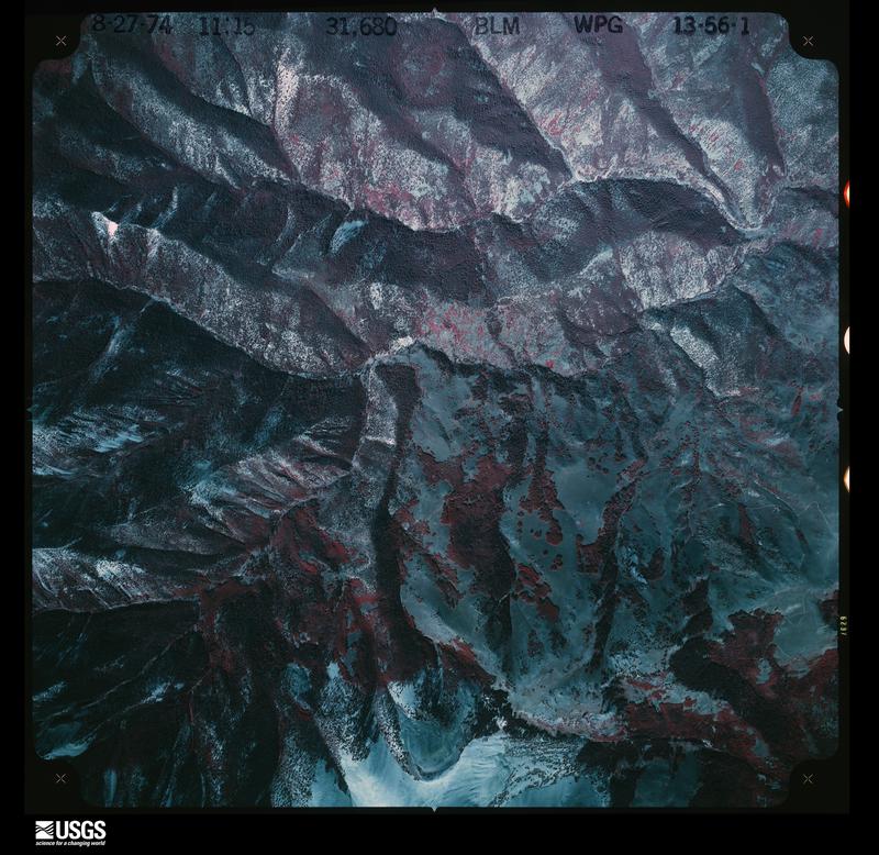
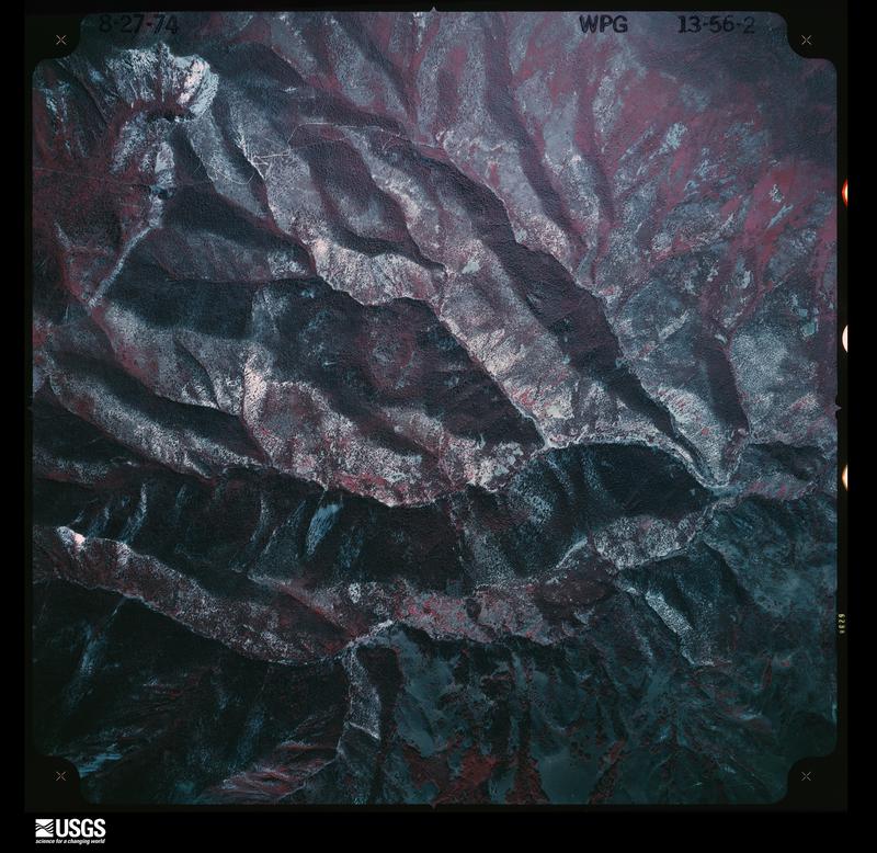
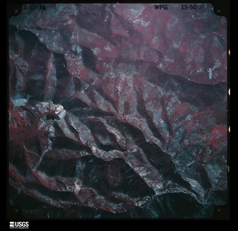
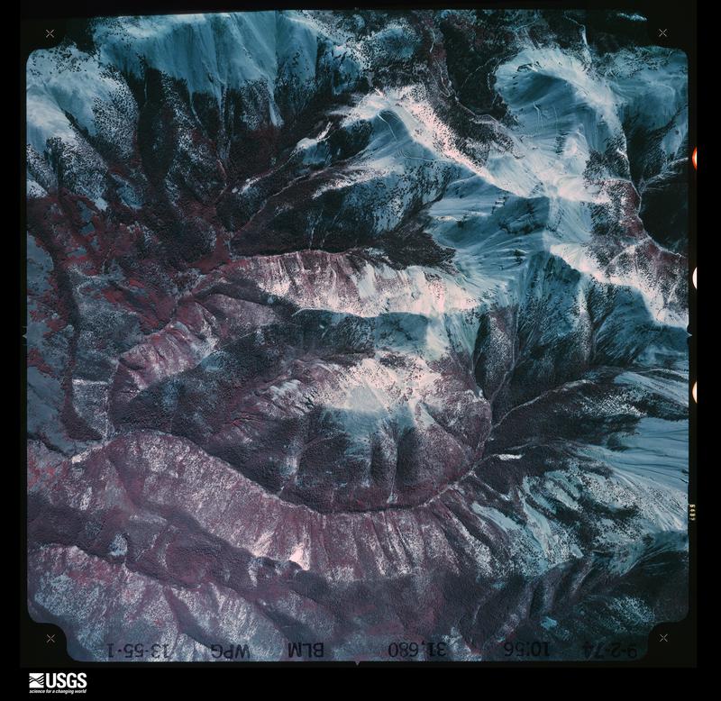
The thermometers that kept this county's weather, and the gages that measured the flow of its streams, as the federal records hold them. The extremes below are measured values from those records, not estimates.
Who lived here in 1950, one enumeration district at a time, as the Census Bureau described each district. Each row opens its official National Archives result, with Population Schedules and ED Maps available there.
Every wildfire the federal occurrence database records inside this county: 219 of them, burning about 18,662 acres. 161 started naturally and 5 were recorded as arson. Each settlement page carries the fires within five miles of it.
| Reported cause | Fires |
|---|---|
| Natural | 161 |
| Missing data/not specified/undetermined | 19 |
| Recreation and ceremony | 15 |
| Debris and open burning | 9 |
| Equipment and vehicle use | 6 |
| Arson/incendiarism | 5 |
| Smoking | 3 |
| Power generation/transmission/distribution | 1 |
The five largest, by the area the report gives. None of them was recorded as arson.
| Date | Cause | Size | Reported by | Name on the report |
|---|---|---|---|---|
| 16 June 1996 | Natural | 10,405 acres | Fishlake National Forest | POLE CREEK |
| 5 June 2012 | Missing data/not specified/undetermined | 2,170 acres | Richfield Field Office | BOX CREEK |
| 19 August 2002 | Natural | 1,523 acres | Fishlake National Forest | COTTONWOOD |
| 6 June 2006 | Natural | 1,463 acres | Fishlake National Forest | BLACK BIRD MINE WFU |
| 3 October 1993 | Debris and open burning | 777 acres | Richfield Field Office | KINGSTON |
| 15 July 2005 | Natural | 761 acres | Fishlake National Forest | MARYSVALE PEAK |
| 3 October 1993 | Missing data/not specified/undetermined | 670 acres | Fishlake National Forest | not named |
| 14 August 1996 | Natural | 320 acres | Fishlake National Forest | DEER TRAIL |
Every settlement page carries the fires within five miles of it - see the settlement index below.
The NOAA Storm Events Database holds 18 reports for this county, causing 1 death, no injuries and about $171,100 in recorded property damage. Each settlement page carries the reports that name it.
| Kind of event | Reports |
|---|---|
| Flash Flood | 10 |
| Thunderstorm Wind | 4 |
| Hail | 2 |
| Tornado | 1 |
| Flood | 1 |
The most serious of them, by death, then injury, then recorded damage. The accounts are quoted exactly as the forecast office filed them.
| When | Event | Place named | Harm | What the report says |
|---|---|---|---|---|
| August 1997 | Flash Flood | Kingston | 1 killed, $30,000 | no account filed |
| July 2018 | Flash Flood | Thompsonville | $75,000 | Heavy rain caused widespread flash flooding in the town of Marysvale. At least five homes were damaged, a gas line was broken, and mud covered many roadways in the area. The flood waters temporarily forced the closure of U.S. Highway 89 through the center of town. |
| July 2001 | Flash Flood | Marysvale | $40,000 | Flash flooding occurred in Marysville, as Rainbow Creek overflowed flooding about 20 homes. Several people had to be evacuated. |
| August 1997 | Flash Flood | Marysvale | $25,000 | no account filed |
| August 2021 | Flash Flood | Kingston | $1,100 | County dispatch reported Kingston Canyon was underwater with rock and debris over a portion of state Route 62. |
| July 2024 | Thunderstorm Wind | Junction | - | The Junction South mesonet station recorded initial peak wind gusts of 66 mph at 5:40 pm MST and 5:50 pm MST, and an additional strong gust of 65 mph at 6:00 pm MST. These winds were the result of thunderstorm outflow, with the thunderstorm also producing 0.27 inches of rain in 10 minutes at the mesonet site. |
| August 2021 | Flood | Alunite | - | State Route 89 was briefly closed due to standing water on the road at milepost 171. |
| July 2018 | Flash Flood | Marysvale | - | Heavy rain produced a flash flood in the vicinity of Marysvale that temporarily closed Interstate 70. |
| August 2011 | Flash Flood | Angle | - | Flash flooding occurred near the town of Angle due to heavy rainfall. |
| August 2011 | Hail | Circleville | - | Hail with a diameter of 0.75 inches was observed near Circleville. This thunderstorm also produced very heavy rain over the area. |
| July 2010 | Flash Flood | Marysvale | - | Heavy rain caused flash flooding on US-89 in Marysville Canyon, near Big Rock Candy Mountain. Mud flowed across the road, blocking traffic and causing several vehicles to get stuck. |
| July 2008 | Flash Flood | Circleville | - | Heavy rain caused flash flooding of streets and low lying areas in the town of Circleville, as well as flooding of several houses. |
| August 2006 | Flash Flood | Marysvale | - | Water and debris across Rt 89 between Richfield and Marysvale. |
| September 2000 | Hail | Circleville | - | A severe thunderstorm dumped 3/4 inch hail on the town of Circleville. |
| July 1992 | Thunderstorm Wind | not stated | - | no account filed |
| July 1984 | Thunderstorm Wind | not stated | - | no account filed |
| July 1984 | Thunderstorm Wind | not stated | - | no account filed |
| August 1984 | Tornado (F0) | not stated | - | no account filed |
The Survey's mineral resources record lists 414 workings inside this county. 30 still produce and 384 are closed or unrecorded. Each settlement page carries the workings within five miles of it.
| Commodity | Workings |
|---|---|
| Uranium | 98 |
| Sand and Gravel, Construction | 66 |
| Aluminum | 39 |
| Fluorine-Fluorite | 28 |
| Gold | 18 |
| Kaolin | 15 |
| Copper | 15 |
| Silver | 15 |
| Aluminum, Potassium | 12 |
| Gold, Silver, Copper | 12 |
| Gold, Silver | 12 |
| Manganese | 11 |
| Silver, Gold | 8 |
| Copper, Lead, Zinc | 5 |
The least common of them first, because a county's hundredth gravel pit says nothing its first ten did not.
| Where | Site | Commodity | Status | Recorded |
|---|---|---|---|---|
| Amber Shaft | Silver, Copper | Past Producer | ||
| Blood Mine | Gold, Copper, Silver | Past Producer | Replacement | |
| Bullion Monarch | Uranium, Silver, Gold, Lead, Copper | Occurrence | ||
| Bully Boy Mine | Silver, Gold, Zinc, Lead, Copper | Past Producer | 1868 | |
| Bully Boy and Webster Mine | Fluorine-Fluorite, Gold, Copper, Silver, Zinc, Lead | Past Producer | 1886 | |
| Carole Ann 1 - 24 , Greenwich 1 - 4 | Kaolin, Aluminum | Occurrence | Replacement | |
| Cascade Mine | Silver, Lead, Zinc, Copper, Gold, Manganese | Past Producer | Vein | |
| Cascade Mine | Zinc, Silver, Lead, Copper | Past Producer | ||
| Contact No 4 | Lead, Copper | Occurrence | Quartz | |
| Crystal Mine | Gold, Silver, Lead, Zinc, Copper | Past Producer | Vein | |
| Crystal Mine | Silver, Lead, Gold | Past Producer | ||
| Dalton | Gold, Silver, Copper, Lead, Zinc | Past Producer | Bornite, Gold, Silver, Tetrahedrite | |
| Dalton | Lead, Gold, Copper, Silver | Past Producer | ||
| Deer Trail Mine | Lead, Zinc, Silver, Gold, Copper, Cadmium | Past Producer | 1878 | |
| Durkee District | Uranium, Aluminum, Iron, Silver, Fluorine-Fluorite, Molybdenum | Past Producer | VEIN AND REPLACEMENT | |
| Fluorite Mine | Iodine | Prospect | 1949 | |
| Freedom Farmer John Wilhelm | Fluorine-Fluorite, Uranium | Producer | ||
| Freedom, Farmerjohn, Wilhelm | Uranium, Fluorine-Fluorite, Molybdenum | Past Producer | 1948, 1950 | |
| Glen Erie Mine | Gold, Silver, Copper, Zinc, Lead | Past Producer | Vein | |
| Great Western Mine | Silver, Copper, Lead, Zinc, Gold | Past Producer | Chalcocite, Chalcopyrite, Chrysocolla, Galena, Malachite, Tetrahedrite | |
| Great Western Mine | Silver, Gold, Lead, Uranium | Producer | ||
| Iris Mine | Silver, Gold, Zinc, Copper, Lead | Past Producer | Vein | |
| Iris Mine | Zinc, Gold, Lead, Silver, Copper | Past Producer | Chalcopyrite, Chrysocolla, Galena, Gold, Malachite, Pyrite, Silver, Sphalerite, Tetrahedrite | |
| Iris Mine | Copper, Gold, Lead, Silver, Zinc | Past Producer | Underground | |
| Jeep Spring #3 | Lead, Copper, Zinc | Occurrence | Replacement | |
| Jeep Spring Prospect | Zinc, Copper, Lead | Occurrence | Replacement | |
| Jolly Green Giant Claims | Gold, Silver, Fluorine-Fluorite | Occurrence | Vein | |
| Lucky Boy | Mercury, Selenium, Gold, Tellurium, Barium-Barite, Zinc, Manganese | Past Producer | 1881 | |
| Manning Creek Deposit | Aluminum, Potassium, Kaolin | Occurrence | 1915 | |
| Monte Del Rey Mine | Gold, Lead, Zinc, Copper, Silver | Prospect | Vein | |
| Park Mine | Silver, Gold, Lead, Zinc, Copper | Prospect | Vein | |
| Plata Azul | Silver, Copper, Zinc, Gold, Lead | Occurrence | Replacement | |
| Prospector Mine | Uranium, Molybdenum, Fluorine-Fluorite, Manganese | Past Producer | 1941, 1950 | |
| Rainbow | Lead, Zinc, Silver, Copper, Gold | Prospect | Underground | |
| Shamrock Mine | Zinc, Silver, Lead, Gold, Copper | Past Producer | Vein | |
| Shine 1 and 2 | Silver, Gold, Lead, Zinc | Prospect | Vein | |
| Tate | Uranium, Silver, Lead | Producer | Uranophane | |
| Tate Prospect | Silver, Lead, Zinc, Copper, Gold | Prospect | Underground | |
| Tunnel Extension No. 2 Mine | Bismuth, Copper, Silver, Tin, Gold, Antimony, Lead | Occurrence | Bismuthinite, Cassiterite, Chalcocite, Chalcopyrite, Covellite, Gold, Tetrahedrite | |
| Unknown | Silver, Gold, Lead, Copper, Zinc | Prospect | Vein | |
| Unknown | Lead, Silver, Zinc, Copper | Prospect | Vein | |
| Unknown | Silver, Gold, Zinc, Lead, Copper | Prospect | ||
| Unknown | Gold, Silver, Zinc, Copper | Prospect | Vein | |
| Utah Dept. Highways Pit #16001 | Stone, Crushed/Broken | Occurrence | ||
| Utah Dept. Highways Pit #16002 | Sand and Gravel, Construction, Stone, Crushed/Broken | Occurrence | Gravel | |
| White Horse Deposit | Aluminum, Kaolin, Potassium | Past Producer | 1915, 1942 | |
| Winkelman Group | Aluminum, Potassium, Copper, Uranium | Past Producer | 1915, 1918 | |
| Blackbird Claims | Lead | Prospect | 1942 | |
| Copper Butte Prospect | Uranium, Copper | Occurrence | ||
| Grey Eagle Nos 2 , 7 , 11 , and 12 | Aluminum, Uranium | Occurrence | Alunite | |
| J and L | Aluminum, Uranium | Prospect | Replacement | |
| Mt Baldy District | Gold, Silver, Lead, Iron | Past Producer | 1878 | |
| Phonolite Hill Perlite Deposit | Perlite | Past Producer | ||
| Phonolite Hill Perute Deposit | Perlite | Occurrence | ||
| Rainbow | Lead | Past Producer | ||
| Saturday Prospect | Uranium, Copper | Occurrence | Malachite, Uraninite | |
| Unknown | Silver, Lead, Zinc, Copper | Prospect | Vein | |
| Buddy - Lucky Strike Mine | Uranium, Fluorine-Fluorite, Molybdenum | Past Producer | 1950 | |
| Close In Deposit | Potassium, Aluminum | Past Producer | 1914, 1915 | |
| Fluorite Mine | Uranium, Fluorine-Fluorite | Producer | ||
| Iron Duke Mine | Iron | Past Producer | 1911 | |
| Iron Duke Mine | Iron | Past Producer | 1903 | |
| J D G Shaft | Uranium, Fluorine-Fluorite | Past Producer | ||
| Long Shot Deposit | Potassium, Aluminum | Occurrence | 1915 | |
| Lucky Boy Mine | Mercury | Past Producer | Vein | |
| Lucky Boy Mine | Mercury | Past Producer | ||
| Mineral Products - Bradburn Deposit | Potassium, Aluminum | Past Producer | 1911, 1915 | |
| Piute Ridge #2 Adits | Silver, Copper, Gold | Prospect | Replacement | |
| Sunnyside Vca Shaft Workings | Uranium, Fluorine-Fluorite | Producer | ||
| Sunnyside-Vca Shaft Workings | Uranium, Fluorine-Fluorite, Molybdenum | Past Producer | 1950 | |
| Unknown | Silver, Copper, Gold | Prospect | ||
| Unknown | Silver, Copper, Gold | Prospect | Vein | |
| Blood Mine | Silver, Gold, Copper | Past Producer | ||
| Clay Junction Deposit | Clay | Past Producer | Sedimentary | |
| Clyde Mine | Silver, Gold, Copper | Prospect | Vein | |
| East Fork Prospects | Clay | Occurrence | Replacement | |
| Glen Erie Mine | Silver, Gold, Copper | Past Producer | ||
| Kingston Clay Deposit | Clay | Occurrence | Sedimentary | |
| Uranium Exploration Deposit | Clay | Occurrence | ||
| Wedge Mine | Silver, Gold, Copper | Past Producer | ||
| Blind Spring Prospect | Copper, Lead, Zinc | Occurrence | Replacement | |
| Clyde Mine | Silver, Lead | Past Producer | ||
| Hickman Canyon Prospect | Copper, Lead, Zinc | Occurrence | Replacement | |
| Jeep Spring # 2 | Copper, Lead, Zinc | Occurrence | Replacement | |
| Jeep Spring #4 | Copper, Lead, Zinc | Occurrence | Replacement | |
| Jeep Spring #5 | Copper, Lead, Zinc | Occurrence | Replacement | |
| Monarch and Monarch Nos 3 , 20 , 21 | Silver, Lead | Occurrence | Quartz | |
| Monte Del Rey Mine | Silver, Lead | Past Producer | ||
| Park Mine | Silver, Lead | Past Producer | ||
| Tate Prospect | Silver, Lead | Past Producer | ||
| Golden Eagl 1-8 | Silver, Gold | Past Producer | ||
| Pluto Mine | Silver, Gold | Past Producer | 1879 | |
| Pluto Mine | Silver, Gold | Past Producer | ||
| Suprize | Silver, Gold | Past Producer | ||
| Three Venice | Silver, Gold | Occurrence | Quartz | |
| Unknown | Silver, Gold | Prospect | Vein | |
| Unknown | Silver, Gold | Occurrence | Vein | |
| Unknown | Silver, Gold | Past Producer | ||
| Blackbird | Manganese | Past Producer | Psilomelane, Pyrolusite | |
| Blackbird | Manganese | Past Producer | ||
| Blue Miami Moon No 1 Claim | Manganese | Past Producer | 1942 | |
| Dry Canyon Claim | Manganese | Occurrence | Vein | |
| Dry Canyon Claims | Manganese | Occurrence | Vein | |
| Dry Canyon Claims | Manganese | Prospect | 1942 | |
| Dry Creek Manganese | Manganese | Past Producer | Vein | |
| Kingston Manganese Occurance | Manganese | Past Producer | ||
| Kingston Manganese Occurrence | Manganese | Occurrence | Vein | |
| Unknown | Manganese | Occurrence | Vein | |
| Unknown | Manganese | Past Producer | ||
| 4 H #1 | Gold, Silver, Copper | Prospect | Vein | |
| Aluminum Bar Deposit | Aluminum, Potassium | Occurrence | 1915 | |
| Aluminum Queen Deposit | Aluminum, Potassium | Occurrence | 1915 | |
| April Fool Occurrence | Aluminum, Potassium | Occurrence | 1915 | |
| Butler & Beck | Gold, Silver | Past Producer | Vein | |
| Crystal Fraction | Aluminum, Potassium | Occurrence | 1915 | |
| Elephant | Gold, Silver, Copper | Prospect | Vein | |
| Gold Mountain-Kimberly | Gold, Silver | Occurrence | ||
| Golden Eagle 1 - 8 and Junebug 1 - 4 | Gold, Silver | Prospect | Vein | |
| J and L Deposit | Aluminum, Potassium, Kaolin | Past Producer | 1935, 1937 | |
| Jerad | Gold, Silver | Occurrence | Vein | |
| L and N Deposit | Aluminum, Potassium | Occurrence | 1913 | |
| Michelson Prospect | Gold, Silver, Copper | Prospect | Vein | |
| Moffat Occurrence | Aluminum, Potassium | Occurrence | 1915 | |
| Pittsburgh Deposit | Aluminum, Potassium | Occurrence | 1915 | |
| Piute Ridge Prospect | Gold, Silver, Copper | Occurrence | Replacement | |
| Rainbo No 8 | Gold, Silver | Occurrence | Quartz | |
| Section 9 Prospect | Gold, Silver | Occurrence | Vein | |
| Stag Nos 1 , 2 , and 5 | Gold, Silver | Occurrence | ||
| Sunny Slope Deposit | Aluminum, Potassium | Occurrence | 1915 | |
| Sunshine - Christmas - Aetna Peak Deposits | Aluminum, Potassium | Past Producer | 1913, 1914 | |
| Suprize | Gold, Silver, Copper | Prospect | Vein | |
| Unknown | Gold, Silver, Copper | Prospect | Vein | |
| Unknown | Gold, Silver | Prospect | Vein | |
| Unknown | Gold, Silver | Prospect | Vein | |
| Unknown | Gold, Silver, Copper | Occurrence | Vein | |
| Unknown | Gold, Silver, Copper | Occurrence | Vein | |
| Unknown | Gold, Silver, Copper | Prospect | Vein | |
| Unknown | Gold, Silver, Copper | Occurrence | Replacement | |
| Unknown | Gold, Silver, Copper | Prospect | Vein | |
| Unknown | Gold, Silver | Past Producer | ||
| Unknown | Gold, Silver | Past Producer | ||
| Wedge Mine | Gold, Silver, Copper | Past Producer | 1898 | |
| White Hills Deposit | Aluminum, Potassium, Kaolin | Past Producer | 1915, 1916 | |
| Amber Shaft | Silver, Copper | Past Producer | Vein | |
| Annie Laurie Mine | Gold, Silver | Past Producer | 1892 | |
| Blind Spring Prospect | Copper | Past Producer | ||
| Box Creek Deposit | Kaolin | Producer | Replacement | |
| Carole Ann 1 Thru 24 | Kaolin | Past Producer | ||
| Copper Belt Mine | Copper, Silver | Past Producer | 1879, 1880 | |
| Copper Belt Mine | Copper | Past Producer | ||
| East Fork Prospects | Kaolin | Past Producer | ||
| Four H No 1 | Silver | Past Producer | ||
| Hanover | Silver | Occurrence | Quartz | |
| Henry Clay Deposit | Kaolin, Aluminum | Occurrence | Replacement | |
| Hickman Canyon Prospect | Copper | Past Producer | ||
| Interstate Brick Clay Pit | Kaolin | Past Producer | Replacement | |
| Interstate Brick Clay Pit | Kaolin | Past Producer | ||
| Jeep Spring No 2 | Copper | Past Producer | ||
| Jeep Spring No 3 | Copper | Past Producer | ||
| Jeep Spring No 5 | Copper | Past Producer | ||
| Jeep Springs Prospect | Copper | Past Producer | ||
| Junkyard Clay Deposit | Kaolin | Past Producer | ||
| Junkyard Clogs Deposit | Kaolin | Occurrence | Replacement | |
| Marysvale Peak | Aluminum, Kaolin | Occurrence | 1915 | |
| Piute Ridge No 2 Adit | Copper | Past Producer | ||
| Plata Azul | Silver, Copper | Past Producer | ||
| Sevier Mine | Gold, Silver | Past Producer | 1892 | |
| Shine 1 and 2 | Silver | Past Producer | ||
| Smoot Clay Mine | Kaolin | Past Producer | Replacement | |
| Smoot Clay Mine | Kaolin | Past Producer | ||
| Unknown | Kaolin | Occurrence | Replacement | |
| Unknown | Silver | Past Producer | ||
| Unknown | Silver | Past Producer | ||
| Unknown | Silver | Past Producer | ||
| Unknown | Silver | Past Producer | ||
| Unknown | Copper | Past Producer | ||
| Unknown | Kaolin | Past Producer | ||
| Unknown | Silver | Past Producer | ||
| Unknown | Silver | Past Producer | ||
| Butler 1 and 2 | Gold | Past Producer | ||
| Elephant | Gold | Past Producer | ||
| Jerad | Gold | Past Producer | ||
| Keystone Mine | Gold | Prospect | Vein | |
| Michelson Prospect | Gold | Past Producer | ||
| Ohio-Mount Baldy-Marysvale | Gold | Occurrence | ||
| Piute Ridge | Gold | Past Producer | ||
| Unknown | Gold | Past Producer | ||
| Unknown | Gold | Past Producer | ||
| Unknown | Gold | Past Producer | ||
| Unknown | Gold | Past Producer | ||
| Unknown | Gold | Past Producer | ||
| Unknown | Gold | Past Producer | ||
| Unknown | Gold | Past Producer | ||
| Unknown | Gold | Past Producer | ||
| Unknown | Gold | Past Producer | ||
| Annie Laurie Mine | Fluorine-Fluorite | Past Producer | 1890 | |
| Beaver Claims | Fluorine-Fluorite | Occurrence | ||
| Beaver Claims Nos. 1-5 | Fluorine-Fluorite | Prospect | 1969 | |
| Buddy Mine | Fluorine-Fluorite | Producer | 1949 | |
| Bullion Monarch | Fluorine-Fluorite | Past Producer | 1949 | |
| Come Back Claims | Fluorine-Fluorite | Occurrence | Vein | |
| Come Back Claims Nos. 1-6 | Fluorine-Fluorite | Occurrence | 1973 | |
| Etta | Fluorine-Fluorite | Producer | 1949 | |
| Freedom No. 2 Mine | Fluorine-Fluorite | Past Producer | 1949 | |
| Freedom No.1 Mine | Fluorine-Fluorite | Producer | 1949 | |
| Great Western Mine | Fluorine-Fluorite | Past Producer | 1872 | |
| J.D.G. Shaft | Uranium, Fluorine-Fluorite | Occurrence | 1949 | |
| Jolly Green Giant Claims No. 1-14 | Fluorine-Fluorite | Occurrence | 1973 | |
| Keystone Mine | Fluorine-Fluorite | Producer | Underground | |
| Mary Ellen | Fluorine-Fluorite | Occurrence | ||
| Mary Ellen Adit | Fluorine-Fluorite | Prospect | 1933 | |
| Potts Fraction | Uranium, Fluorine-Fluorite | Past Producer | 1950, 1951 | |
| Prospector | Fluorine-Fluorite | Past Producer | 1949 | |
| Scorpion Fault Area | Fluorine-Fluorite | Prospect | 1949 | |
| Section 9 Prospect | Fluorine-Fluorite | Unknown | Underground | |
| Sevier Mine | Fluorine-Fluorite | Past Producer | 1889 | |
| Shamrock Mine | Fluorine-Fluorite | Past Producer | 1924 | |
| Sunnyside Mine | Fluorine-Fluorite | Producer | 1949 | |
| Upper and Lower Cloys | Uranium, Fluorine-Fluorite | Past Producer | 1959 | |
| Vega Poison Shaft | Uranium, Fluorine-Fluorite | Past Producer | 1951, 1952 | |
| Yellow Canary | Uranium, Fluorine-Fluorite | Prospect | 1949 | |
| Yellow Canary Prospect | Fluorine-Fluorite | Past Producer | 1949 | |
| Aetna Peak Mine | Aluminum | Occurrence | Vein | |
| Aetna Peak Mine | Aluminum | Past Producer | ||
| Aluminum Bar | Aluminum | Occurrence | Replacement | |
| Aluminum Bar | Aluminum | Past Producer | ||
| Aluminum Queen | Aluminum | Occurrence | Replacement | |
| Aluminum Queen | Aluminum | Past Producer | ||
| April Fool | Aluminum | Occurrence | Replacement | |
| April Fool | Aluminum | Past Producer | ||
| Bradburn Mine | Aluminum | Past Producer | Vein | |
| Bradburn Mine | Aluminum | Past Producer | ||
| Christmas - Sunshine | Aluminum | Prospect | Vein | |
| Christmas Sunshine | Aluminum | Past Producer | ||
| Close In | Aluminum | Past Producer | Replacement | |
| Close In | Aluminum | Past Producer | ||
| Divide | Aluminum | Occurrence | Replacement | |
| L and N Deposit | Aluminum | Past Producer | Vein | |
| L and N Deposit | Aluminum | Past Producer | ||
| Long Shot | Aluminum | Occurrence | Replacement | |
| Long Shot | Aluminum | Past Producer | ||
| Manning Creek | Aluminum | Prospect | Replacement | |
| Manning Creek | Aluminum | Past Producer | ||
| Mineral Products Mine | Aluminum | Past Producer | Vein | |
| Mineral Products Mine | Aluminum | Past Producer | ||
| Sevier Plateau alunite deposits | Aluminum | Occurrence | ||
| Sunny Slope | Aluminum | Occurrence | Replacement | |
| Sunny Slope | Aluminum | Past Producer | ||
| Unknown | Aluminum | Prospect | Vein | |
| Unknown | Aluminum | Past Producer | ||
| Unknown Alunite Prospect | Aluminum | Prospect | Replacement | |
| Unknown Alunite Prospect | Aluminum | Past Producer | ||
| Walker Day Alunite Deposit | Aluminum | Past Producer | ||
| Walker Day Alunite Prospect | Aluminum | Occurrence | Replacement | |
| White Hills | Aluminum | Past Producer | Replacement | |
| White Hills | Aluminum | Past Producer | ||
| White Horse | Aluminum | Past Producer | Replacement | |
| White Horse | Aluminum | Past Producer | ||
| Gravel Pit | Sand and Gravel, Construction | Past Producer | Gravel | |
| Gravel Pit | Sand and Gravel, Construction | Past Producer | Gravel | |
| Gravel Pit | Sand and Gravel, Construction | Past Producer | ||
| Gravel Pit | Sand and Gravel, Construction | Producer | ||
| Gravel Pit | Sand and Gravel, Construction | Producer | ||
| Graveyard Gravel Deposit | Sand and Gravel, Construction | Past Producer | ||
| Graveyard Gravel Prospect | Sand and Gravel, Construction | Occurrence | Surface | |
| Section 16 Gravel Deposit | Sand and Gravel, Construction | Past Producer | ||
| Section 16 Gravel Prospect | Sand and Gravel, Construction | Occurrence | Surface | |
| Utah Dept Highways Pit No 16002 | Sand and Gravel, Construction | Past Producer | ||
| Utah Dept Highways Pit No 16003 | Sand and Gravel, Construction | Past Producer | ||
| Utah Dept Highways Pit No 16004 | Sand and Gravel, Construction | Past Producer | ||
| Utah Dept Highways Pit No 16005 | Sand and Gravel, Construction | Past Producer | ||
| Utah Dept Highways Pit No 16006 | Sand and Gravel, Construction | Past Producer | ||
| Utah Dept Highways Pit No 16007 | Sand and Gravel, Construction | Past Producer | ||
| Utah Dept Highways Pit No 16008 | Sand and Gravel, Construction | Past Producer | ||
| Utah Dept Highways Pit No 16009 | Sand and Gravel, Construction | Past Producer | ||
| Utah Dept Highways Pit No 16010 | Sand and Gravel, Construction | Past Producer | ||
| Utah Dept Highways Pit No 16011 | Sand and Gravel, Construction | Past Producer | ||
| Utah Dept Highways Pit No 16012 | Sand and Gravel, Construction | Past Producer | ||
| Utah Dept Highways Pit No 16013 | Sand and Gravel, Construction | Past Producer | ||
| Utah Dept Highways Pit No 16015 | Sand and Gravel, Construction | Past Producer | ||
| Utah Dept Highways Pit No 16016 | Sand and Gravel, Construction | Past Producer | ||
| Utah Dept Highways Pit No 16017 | Sand and Gravel, Construction | Past Producer | ||
| Utah Dept Highways Pit No 16018 | Sand and Gravel, Construction | Past Producer | ||
| Utah Dept Highways Pit No 16019 | Sand and Gravel, Construction | Past Producer | ||
| Utah Dept Highways Pit No 16020 | Sand and Gravel, Construction | Past Producer | ||
| Utah Dept Highways Pit No 16021 | Sand and Gravel, Construction | Past Producer | ||
| Utah Dept Highways Pit No 16023 | Sand and Gravel, Construction | Past Producer | ||
| Utah Dept Highways Pit No 16025 | Sand and Gravel, Construction | Past Producer | ||
| Utah Dept Highways Pit No 16026 | Sand and Gravel, Construction | Past Producer | ||
| Utah Dept Highways Pit No 16027 | Sand and Gravel, Construction | Past Producer | ||
| Utah Dept Highways Pit No 16028 | Sand and Gravel, Construction | Past Producer | ||
| Utah Dept Highways Pit No 16029 | Sand and Gravel, Construction | Past Producer | ||
| Utah Dept Highways Pit No 16030 | Sand and Gravel, Construction | Past Producer | ||
| Utah Dept of Highways Pit No 16001 | Sand and Gravel, Construction | Past Producer | ||
| Utah Dept of Highways Pit No 16024 | Sand and Gravel, Construction | Past Producer | ||
| Utah Dept of Hiways Pit No 16014 | Sand and Gravel, Construction | Past Producer | ||
| Utah Dept. Highways Pit # 16020 | Sand and Gravel, Construction | Past Producer | Surface | |
| Utah Dept. Highways Pit # 16026 | Sand and Gravel, Construction | Past Producer | Gravel | |
| Utah Dept. Highways Pit #16003 | Sand and Gravel, Construction | Past Producer | Gravel | |
| Utah Dept. Highways Pit #16004 | Sand and Gravel, Construction | Past Producer | Gravel | |
| Utah Dept. Highways Pit #16005 | Sand and Gravel, Construction | Past Producer | Gravel | |
| Utah Dept. Highways Pit #16006 | Sand and Gravel, Construction | Past Producer | Surface | |
| Utah Dept. Highways Pit #16007 | Sand and Gravel, Construction | Past Producer | Gravel | |
| Utah Dept. Highways Pit #16008 | Sand and Gravel, Construction | Past Producer | Gravel | |
| Utah Dept. Highways Pit #16009 | Sand and Gravel, Construction | Occurrence | ||
| Utah Dept. Highways Pit #16010 | Sand and Gravel, Construction | Past Producer | Gravel | |
| Utah Dept. Highways Pit #16011 | Sand and Gravel, Construction | Occurrence | ||
| Utah Dept. Highways Pit #16012 | Sand and Gravel, Construction | Past Producer | Surface | |
| Utah Dept. Highways Pit #16013 | Sand and Gravel, Construction | Past Producer | Gravel | |
| Utah Dept. Highways Pit #16014 | Sand and Gravel, Construction | Occurrence | Sand and Gravel | |
| Utah Dept. Highways Pit #16015 | Sand and Gravel, Construction | Past Producer | Gravel | |
| Utah Dept. Highways Pit #16016 | Sand and Gravel, Construction | Past Producer | Sand and Gravel | |
| Utah Dept. Highways Pit #16017 | Sand and Gravel, Construction | Past Producer | Gravel | |
| Utah Dept. Highways Pit #16018 | Sand and Gravel, Construction | Past Producer | Gravel, Sand | |
| Utah Dept. Highways Pit #16019 | Sand and Gravel, Construction | Occurrence | Sand and Gravel | |
| Utah Dept. Highways Pit #16021 | Sand and Gravel, Construction | Occurrence | Gravel | |
| Utah Dept. Highways Pit #16022 | Sand and Gravel, Construction | Occurrence | Sand and Gravel | |
| Utah Dept. Highways Pit #16023 | Sand and Gravel, Construction | Past Producer | Gravel | |
| Utah Dept. Highways Pit #16024 | Sand and Gravel, Construction | Occurrence | Gravel | |
| Utah Dept. Highways Pit #16025 | Sand and Gravel, Construction | Occurrence | ||
| Utah Dept. Highways Pit #16027 | Sand and Gravel, Construction | Past Producer | Gravel | |
| Utah Dept. Highways Pit #16028 | Sand and Gravel, Construction | Past Producer | Gravel | |
| Utah Dept. Highways Pit #16029 | Sand and Gravel, Construction | Past Producer | Gravel | |
| Utah Dept. Highways Pit #16030 | Sand and Gravel, Construction | Past Producer | Gravel | |
| Badger Prospect | Uranium | Past Producer | ||
| Benny K Prospect | Uranium | Occurrence | ||
| Benny K. No. 1 Claim | Uranium | Producer | Uraninite | |
| Bertleson Mine | Uranium | Producer | ||
| Blackie Prospect | Uranium | Occurrence | Vein | |
| Blue Eagle | Uranium | Occurrence | ||
| Bobcat Prospects | Uranium | Occurrence | Surface | |
| Bobcat Prospects | Uranium | Past Producer | ||
| Buddy Lucky Strike Mine | Uranium | Producer | ||
| Buddy Mine | Uranium | Producer | ||
| Bullion Monarch Mine | Uranium | Producer | ||
| Canary Claims | Uranium | Occurrence | ||
| Carson | Uranium | Occurrence | ||
| Carson | Uranium | Unknown | ||
| Cedar Hills | Uranium | Prospect | Surface | |
| Charlotte Prospect | Uranium | Occurrence | Vein | |
| Cloy's Mine | Uranium | Producer | ||
| Cloy's Mine | Uranium | Occurrence | ||
| Cloys | Uranium | Past Producer | Underground | |
| Come Back #1 | Uranium | Occurrence | ||
| Copper Butte | Uranium | Unknown | Underground | |
| Dark Horse | Uranium | Unknown | Underground | |
| Dark Horse Mine | Uranium | Past Producer | Uraninite, Uranophane | |
| Dark Horse Prospect | Uranium | Occurrence | ||
| East Slope | Uranium | Past Producer | ||
| East Slope Group | Uranium | Producer | ||
| East Slope Mine | Uranium | Past Producer | Vein | |
| East Slope Mine | Uranium | Producer | ||
| Etta | Uranium | Producer | ||
| Farmer John | Uranium | Past Producer | Underground | |
| Flat Tire # 2 | Uranium | Past Producer | Torbernite | |
| Freedom #2 | Uranium | Producer | Vein | |
| Freedom Mine #2 | Uranium | Producer | ||
| Ghost Tunnel | Uranium | Occurrence | ||
| Glen-Perry Adit | Uranium | Occurrence | ||
| Glenn Mine Potts Fraction | Uranium | Producer | Fluorite, Torbernite | |
| Hilltope #4 | Uranium | Occurrence | ||
| Hope 1 - 20 , Cliff 1 - 16 | Uranium | Occurrence | Vein | |
| Hope No 1 Thru 20 | Uranium | Past Producer | ||
| J.D.G. | Uranium | Producer | ||
| Laura Mae Claims | Uranium | Occurrence | ||
| Lucky Strike Mine | Uranium | Occurrence | Vein | |
| Luckystrike | Uranium | Past Producer | Surface, Underground | |
| Marysvale | Uranium | Occurrence | ||
| Mineral Hills | Uranium | Occurrence | ||
| Mineral Hills Prospect | Uranium | Occurrence | Uranophane | |
| New Deer Trail Mine | Uranium | Occurrence | ||
| Nucular Sniffer #1 Prospect | Uranium | Occurrence | ||
| Obsidian #1 Prospect | Uranium | Occurrence | ||
| Obsidian No 1 Prospect | Uranium | Past Producer | ||
| Papsy's Hope Prospect | Uranium | Occurrence | ||
| Papsys Hope | Uranium | Past Producer | Uraninite, Uranophane | |
| Papsys Hope | Uranium | Unknown | ||
| Paramont | Uranium | Past Producer | ||
| Paramont Shaft | Uranium | Occurrence | 1952 | |
| Pe-G Mine | Uranium | Past Producer | Vein | |
| Pe-G Mine | Uranium | Past Producer | ||
| Perry Adit | Uranium | Occurrence | Vein | |
| Pittsburg | Uranium | Occurrence | Alunite | |
| Plainview | Uranium | Unknown | ||
| Plainview Prospect | Uranium | Occurrence | Underground | |
| Plumbic Prospect | Uranium | Occurrence | ||
| Plumbic Prospect | Uranium | Occurrence | 1951 | |
| Plumbic Prospect | Uranium | Past Producer | ||
| Poison Shaft | Uranium | Occurrence | Vein | |
| Potts Fraction | Uranium | Producer | ||
| Potts Fraction | Uranium | Past Producer | Surface, Underground | |
| Prospector #4 | Uranium | Prospect | Underground | |
| Prospector Mine | Uranium | Producer | ||
| Royston | Uranium | Occurrence | ||
| Royston Coalition | Uranium | Occurrence | Alunite, Pitchblende | |
| Saddle | Uranium | Occurrence | ||
| Saturday | Uranium | Unknown | Underground | |
| Saturday Prospect | Uranium | Occurrence | ||
| Scorpion | Uranium | Occurrence | ||
| Shine Claims | Uranium | Occurrence | ||
| Sunnyside Mine | Uranium | Producer | Pitchblende, Torbernite | |
| Uranium Bluffs | Uranium | Past Producer | ||
| Uranium Bluffs #1 | Uranium | Occurrence | 1954 | |
| Vca Mine | Uranium | Producer | ||
| Vega Claim | Uranium | Occurrence | ||
| Vega Poison Shaft | Uranium | Past Producer | ||
| West End 2 Prospect | Uranium | Past Producer | Vein | |
| West End No Two | Uranium | Past Producer | ||
| West End Prospect | Uranium | Occurrence | Underground | |
| West End Prospect | Uranium | Past Producer | ||
| White Elephant Prospect | Uranium | Occurrence | 1967 | |
| White Elephant Prospect | Uranium | Past Producer | ||
| Wilhelm | Uranium | Prospect | Underground | |
| Yellow Canary | Uranium | Occurrence |
Named settlements recorded in the Geographic Names Information System, each with the topographic sheets covering it. Villages, hamlets and abandoned places alike. Each is shown with the nearest named watercourse or landform and the survey quadrangle it falls on. The 1 place that was also surveyed for fire insurance comes first, with the number of atlases and photographs held for them.
Marysvale census division · 84750 · On Pine Creek · Marysvale quadrangle
20 sheets, 1885 to 2001
Fire insurance: 2 atlases
Circleville census division · 84712 · On Otter Creek · Angle quadrangle
17 sheets, 1885 to 2002
Marysvale census division · On Cascade Creek · Mount Brigham quadrangle
19 sheets, 1885 to 2001
Circleville census division · 84723 · On Bullberry Creek · Circleville quadrangle
14 sheets, 1885 to 2001
Marysvale census division · 84750 · On Deer Creek · Marysvale Canyon quadrangle
19 sheets, 1885 to 2001
Circleville census division · 84740 · On East Fork Sevier River · Junction quadrangle
16 sheets, 1885 to 2002
Circleville census division · 84743 · On East Fork Sevier River · Junction quadrangle
16 sheets, 1885 to 2002
Marysvale census division · Near Suprise Gulch · Mount Belknap quadrangle
18 sheets, 1885 to 2001
Marysvale census division · 84750 · On Deer Creek · Marysvale Canyon quadrangle
19 sheets, 1885 to 2001
Marysvale census division · 84750 · On Cottonwood Creek · Marysvale quadrangle
20 sheets, 1885 to 2001
Marysvale census division · Near Suprise Gulch · Mount Belknap quadrangle
18 sheets, 1885 to 2001
The complete index, with nothing left out. Each of these is a separate record with its own page: a federal survey report, or the case file that argued a property on to the National Register. Both are public domain and reproduced word for word.