 Block
From the record
2 National Register listings published here.
Sources: the National Register database, National Park Service
26 topographic sheets and 2 fire insurance atlases across 1 place.
2 National Register listings published here.
Sources: the National Register database, National Park Service
Every property in this county listed on the National Register of Historic Places, with the year it was listed and the federal nomination document.
| Photograph | Property | Type | Listed | Reference |
|---|---|---|---|---|
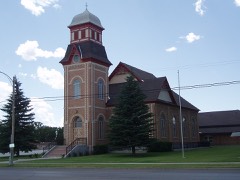 | Randolph Tabernacle | building | 1986 | 86000724 |
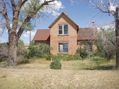 | Woodruff Stake House | building | 2000 | 00001586 |
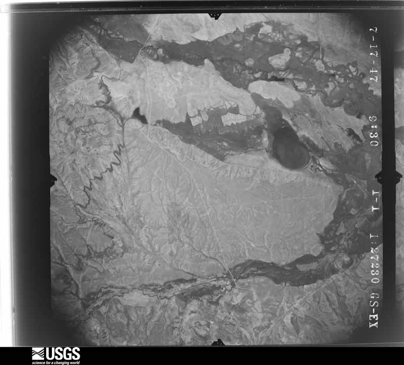
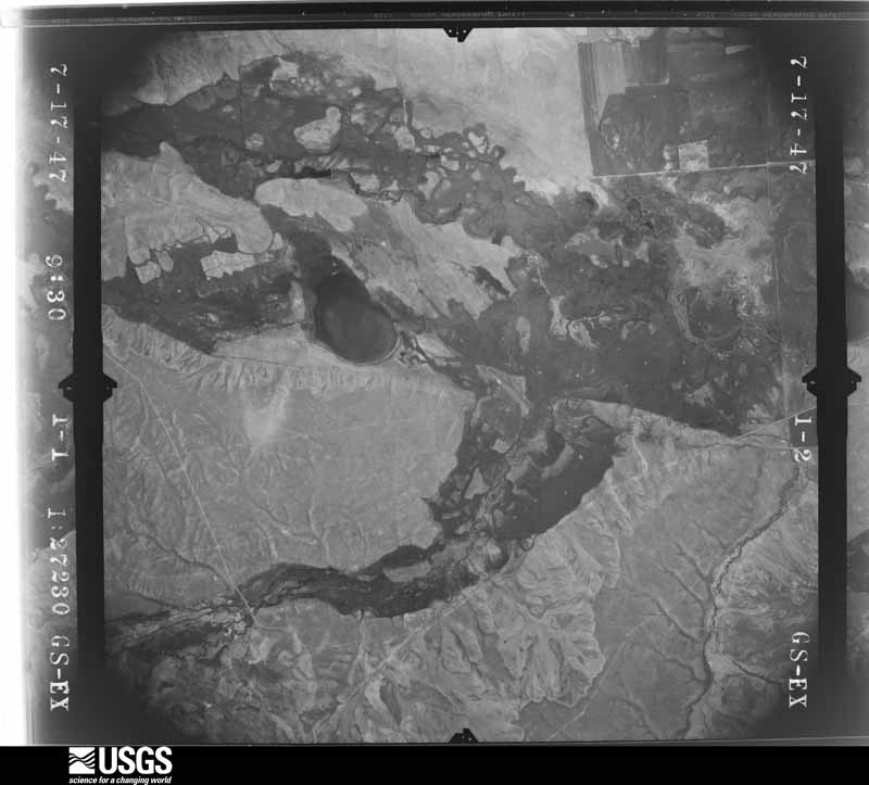
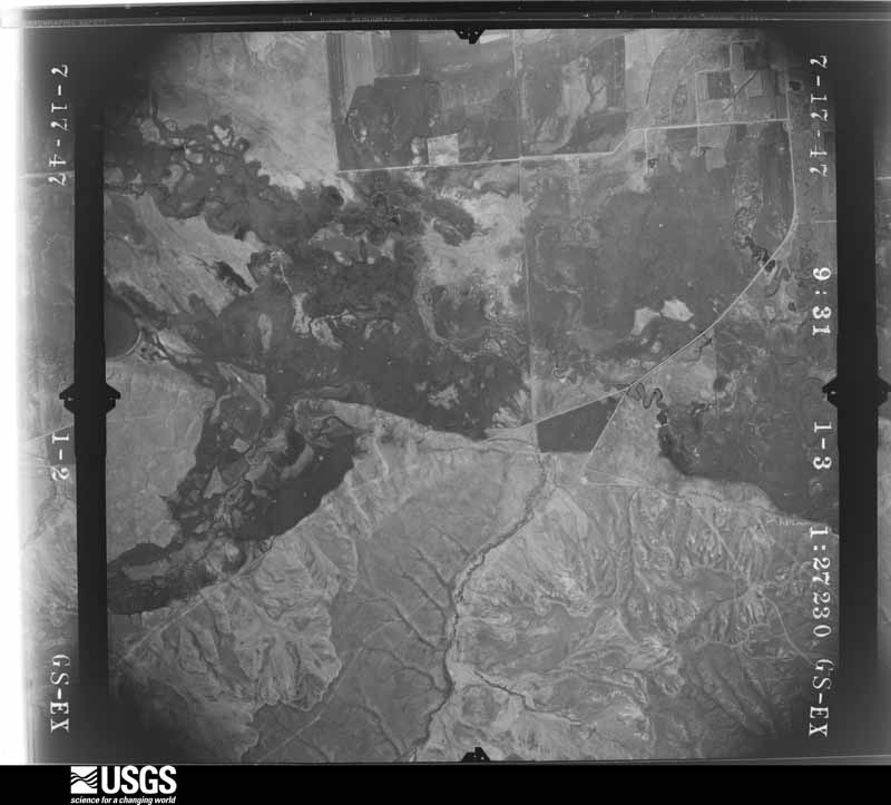
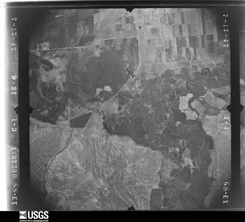
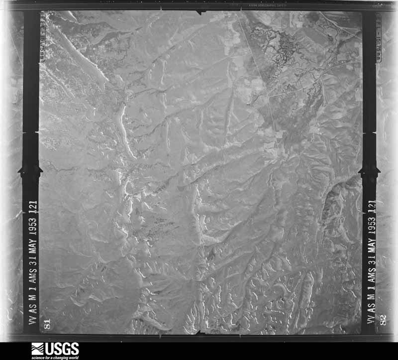
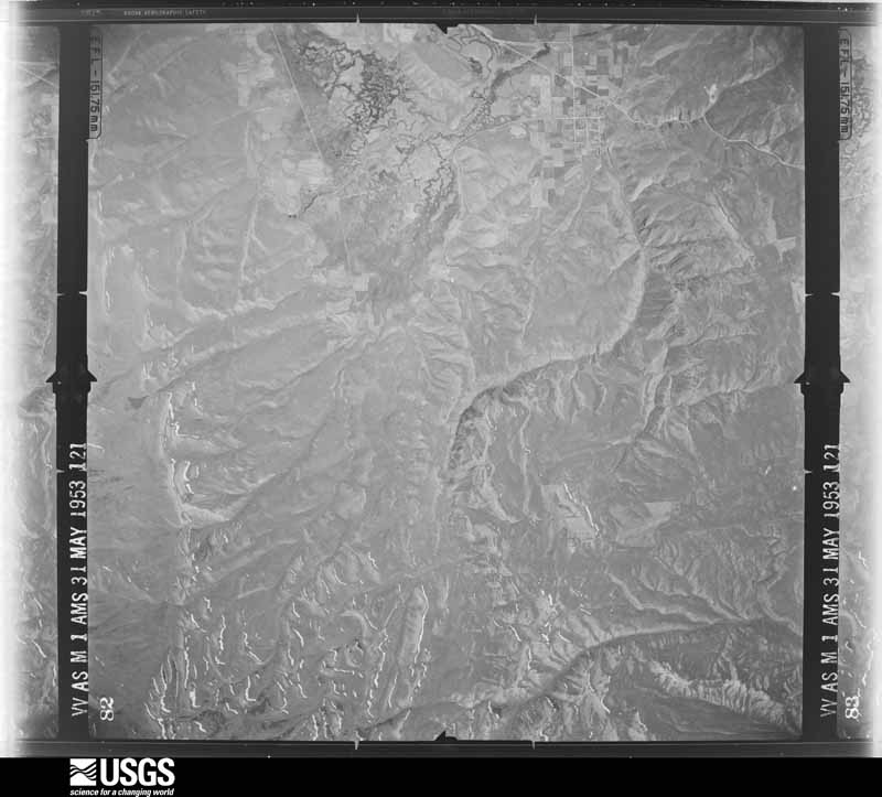
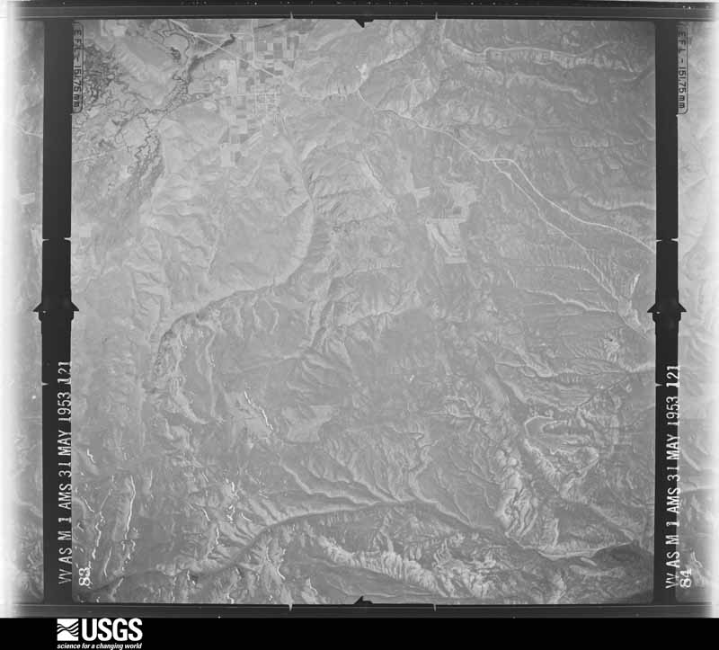
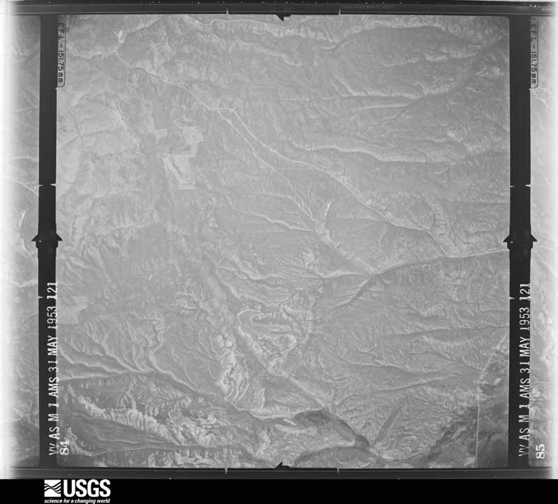
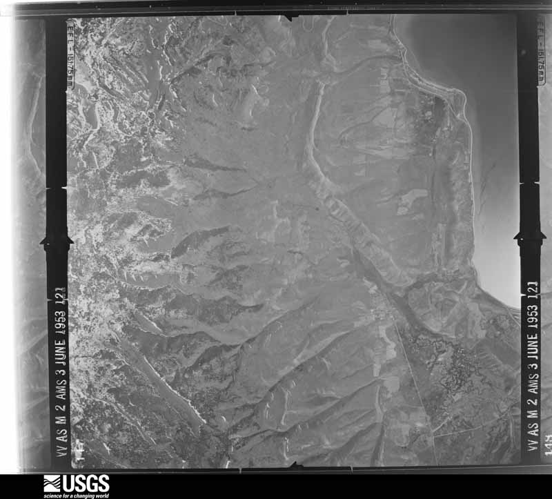
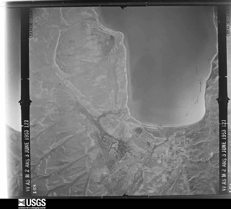
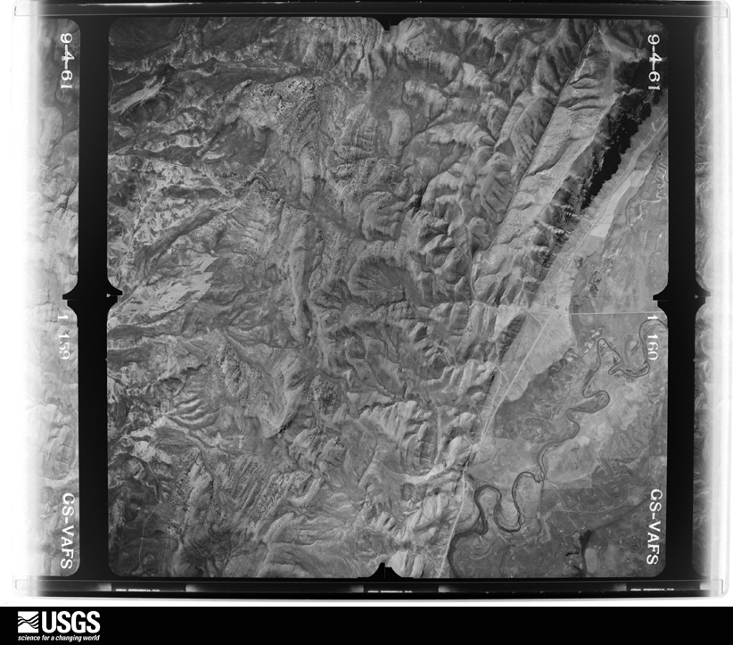
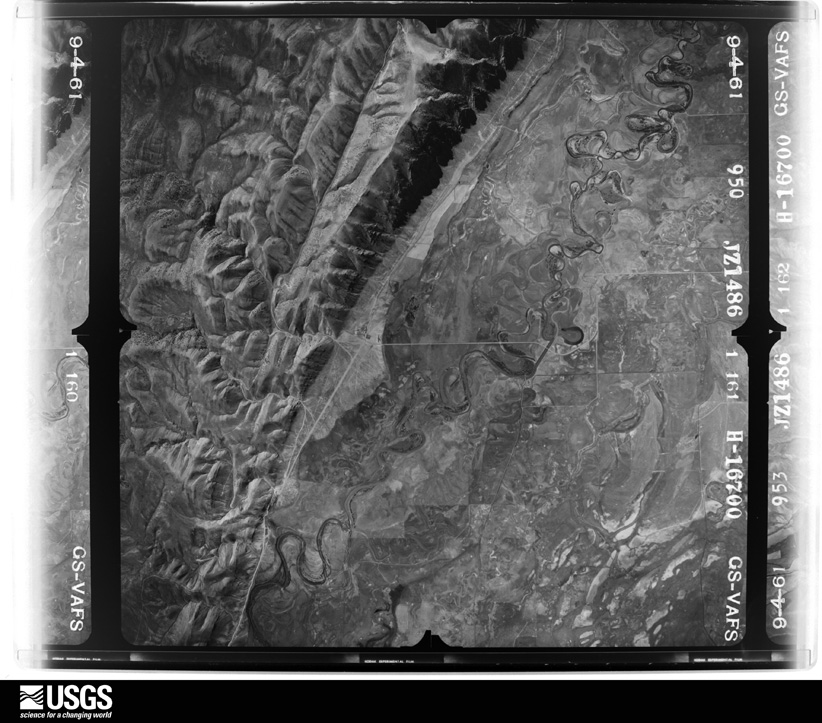
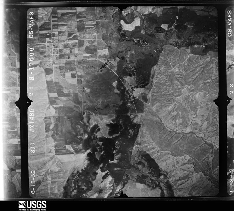
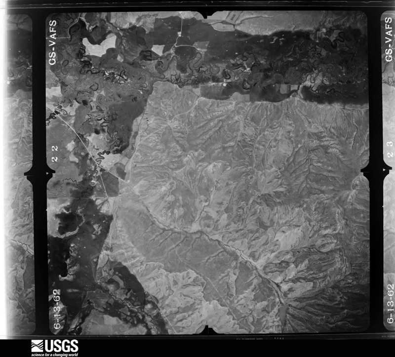
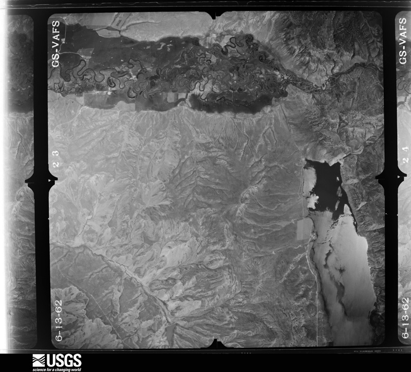
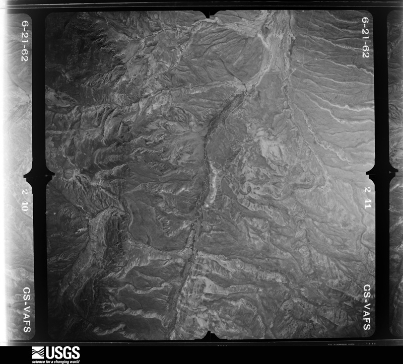
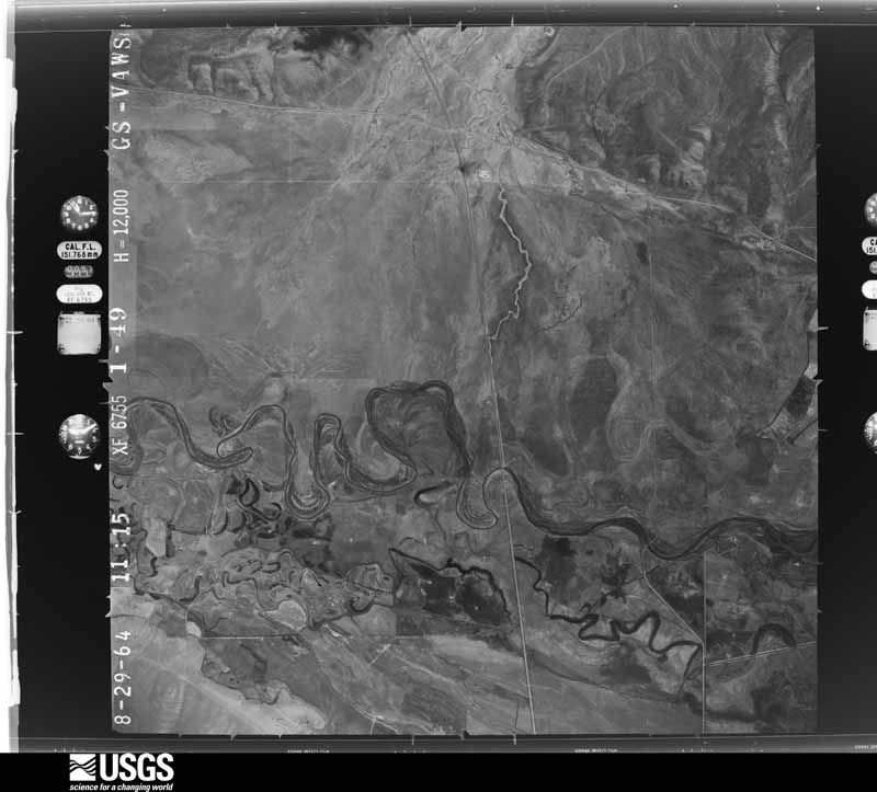
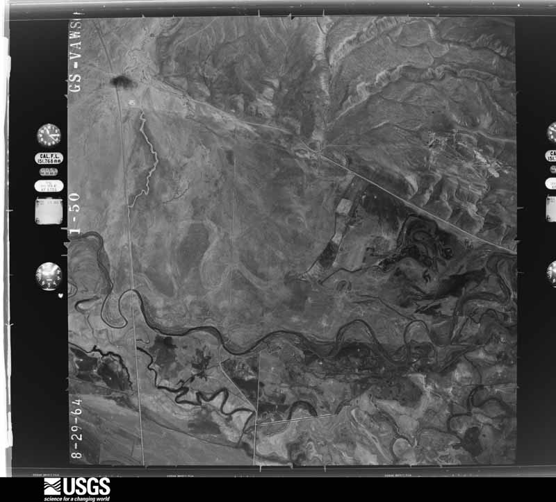
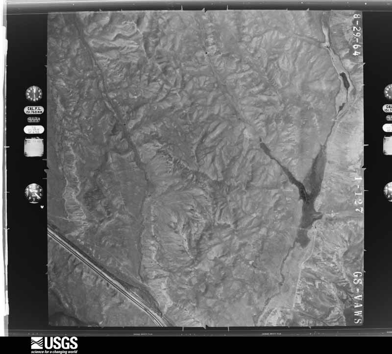
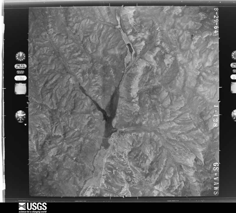
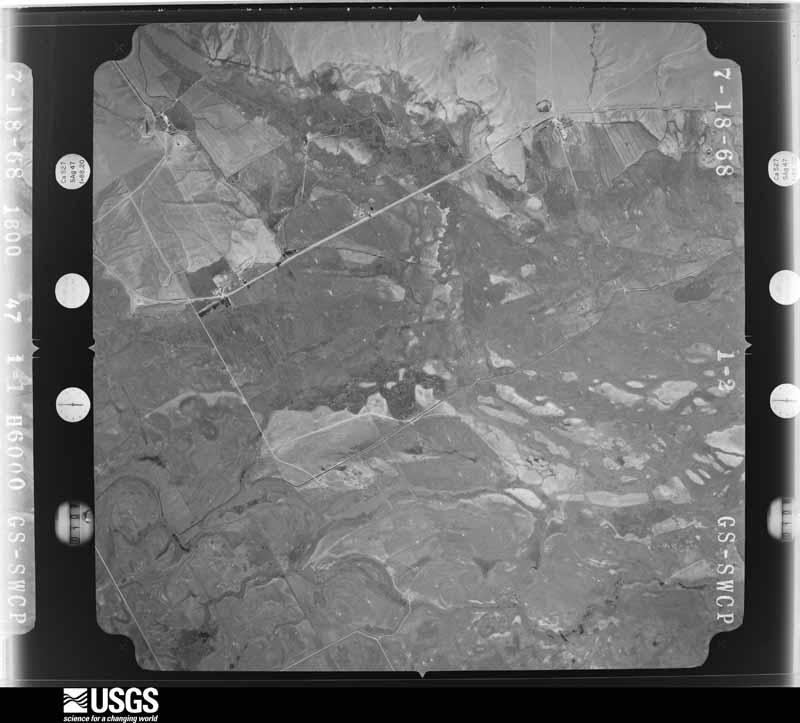
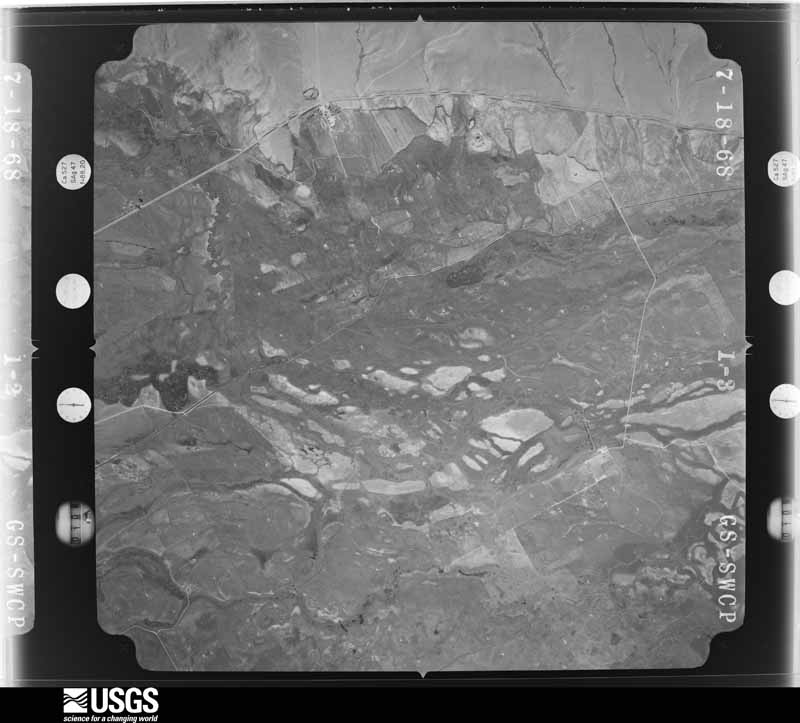
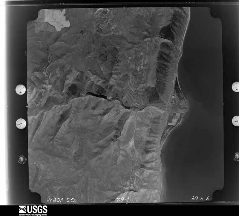
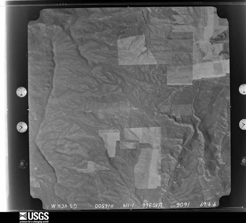
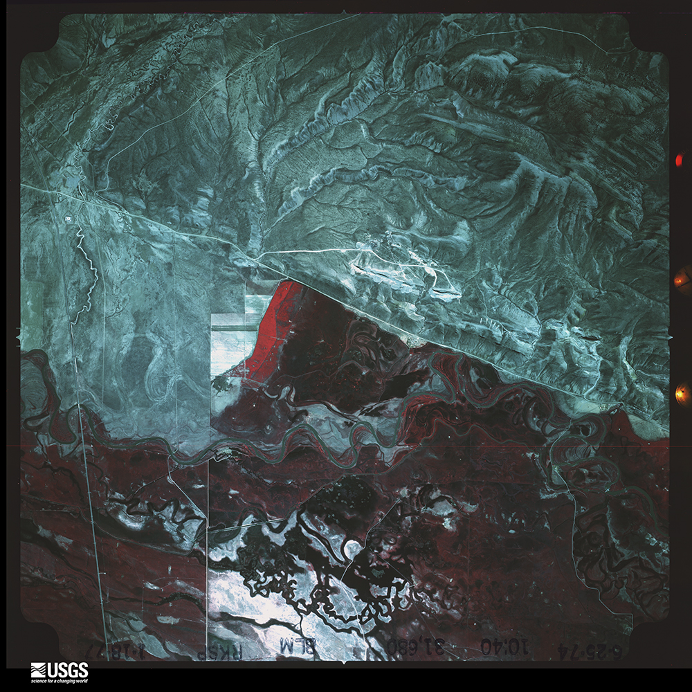
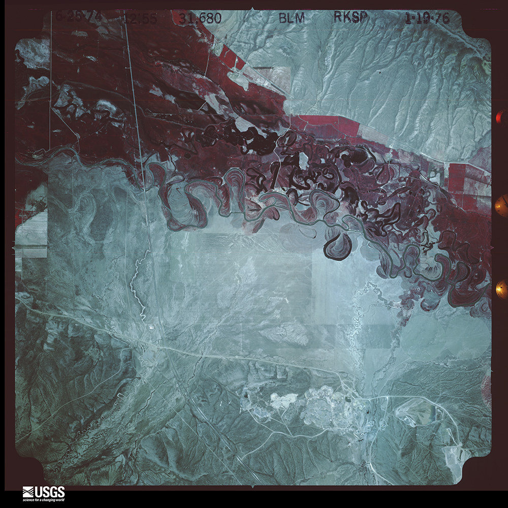
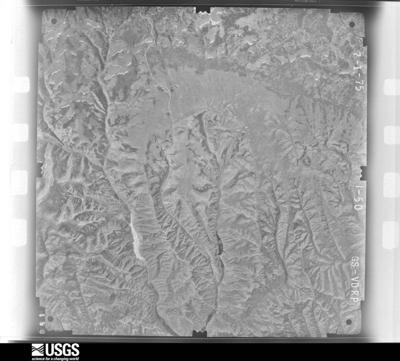
Flown by the U.S. Geological Survey between 1937 and 1989, the Aerial Photo Single Frames collection is the definitive mid-century view of the land: fields, roads and rivers as the camera saw them. The Survey holds 1,797 frames inside the rectangle that bounds this county; the 48 frames below were taken over the county itself, chosen across the decades of flights (at most four a year from that rectangle), so one flight cannot crowd out the rest. The full set is free to browse and download at EarthExplorer under the dataset Aerial Photo Single Frames.
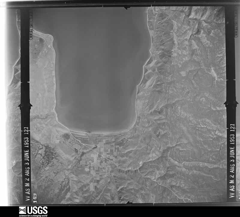
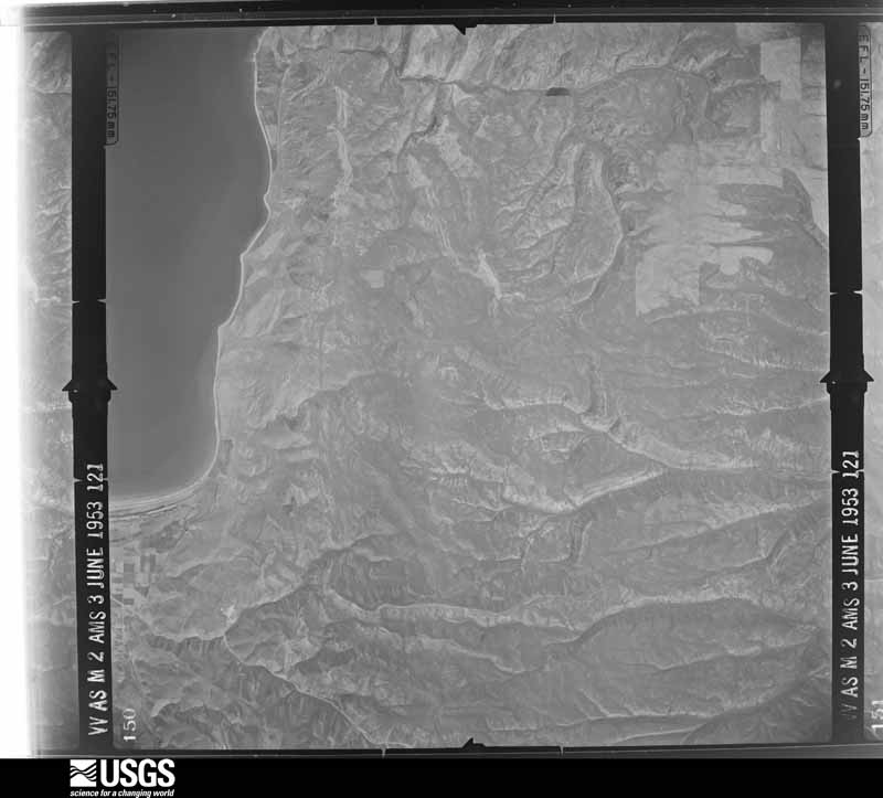
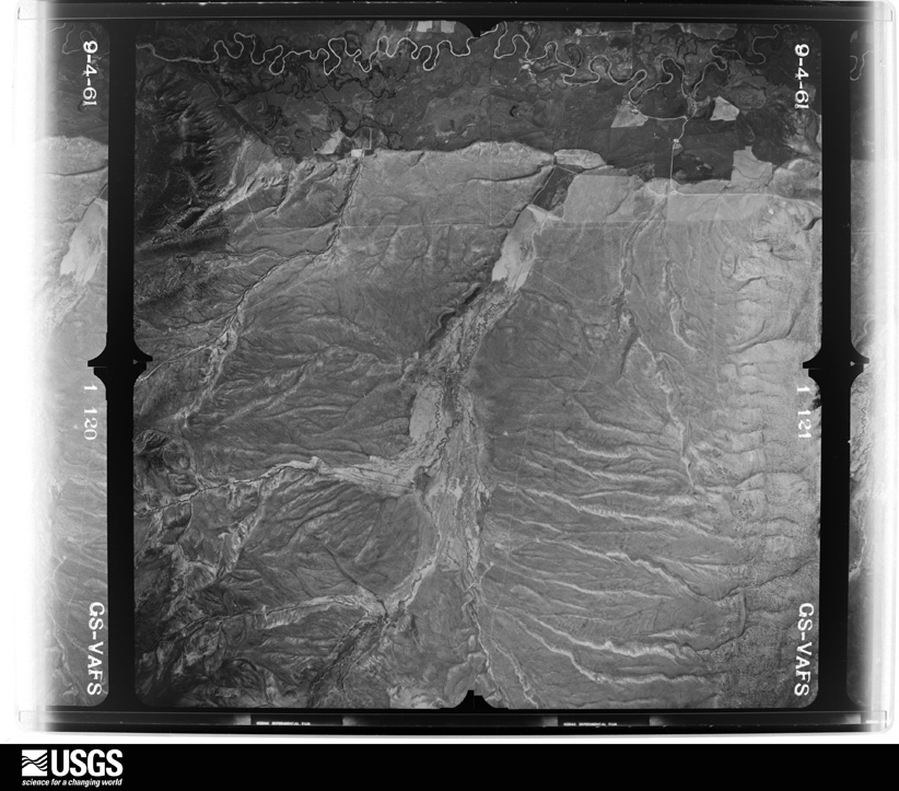
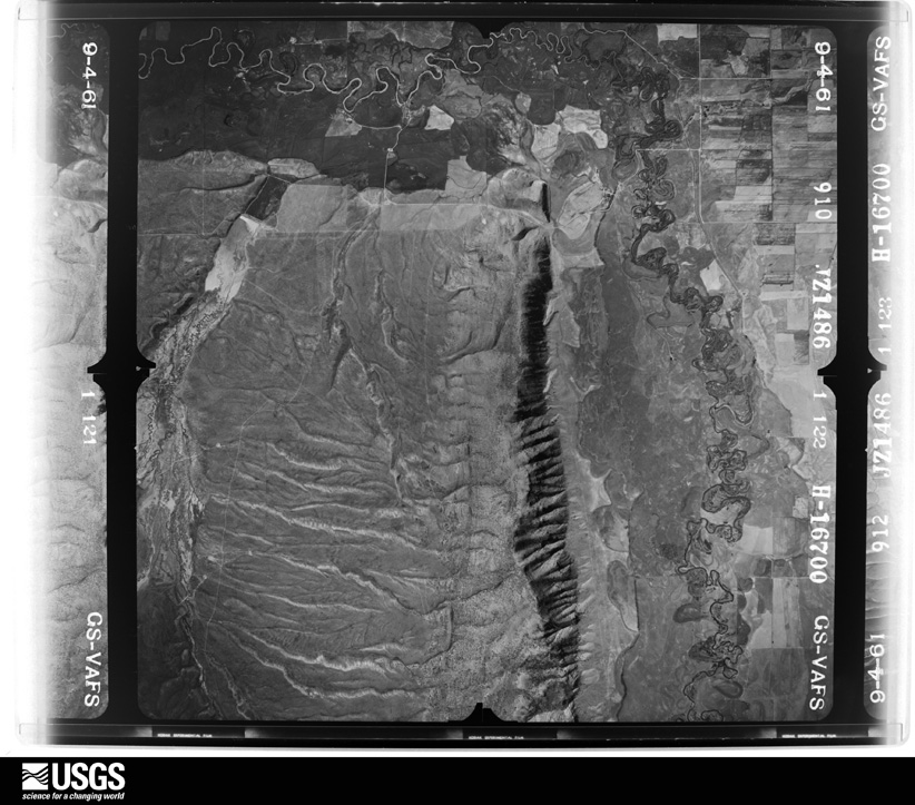
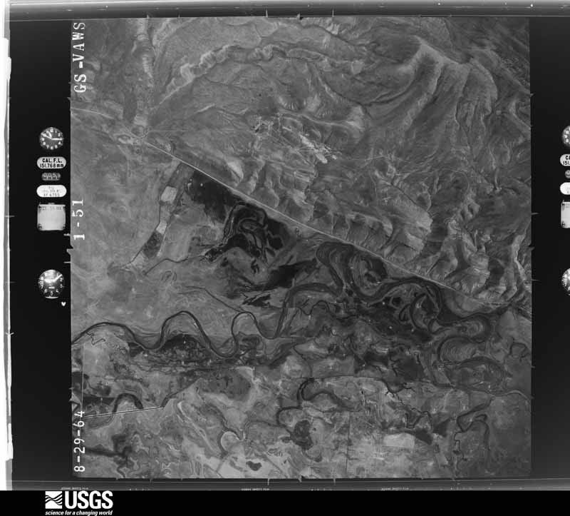
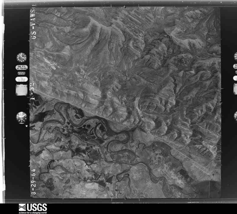
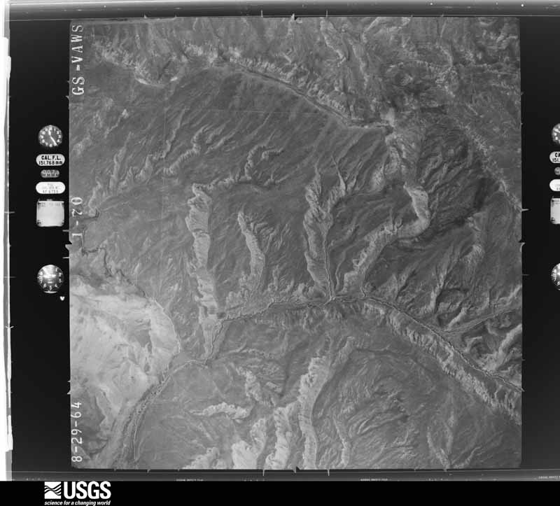
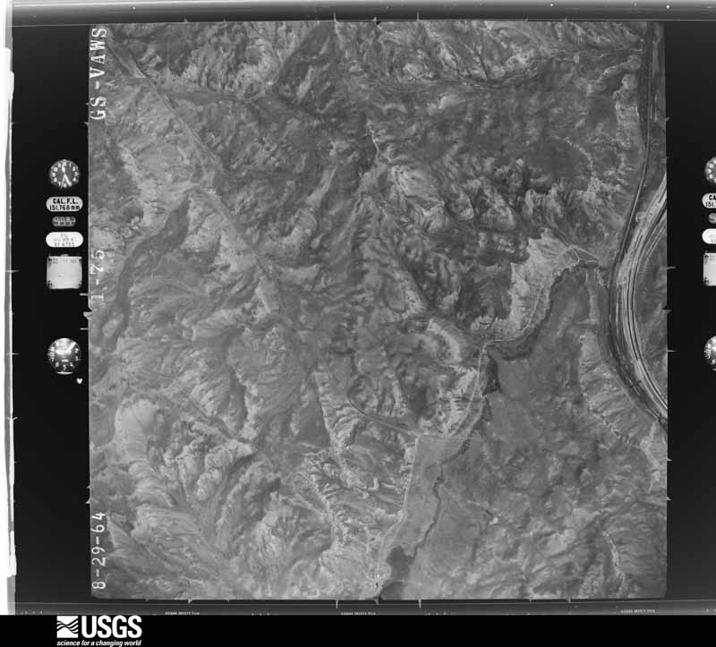
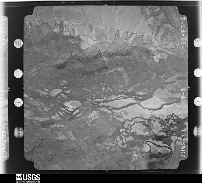
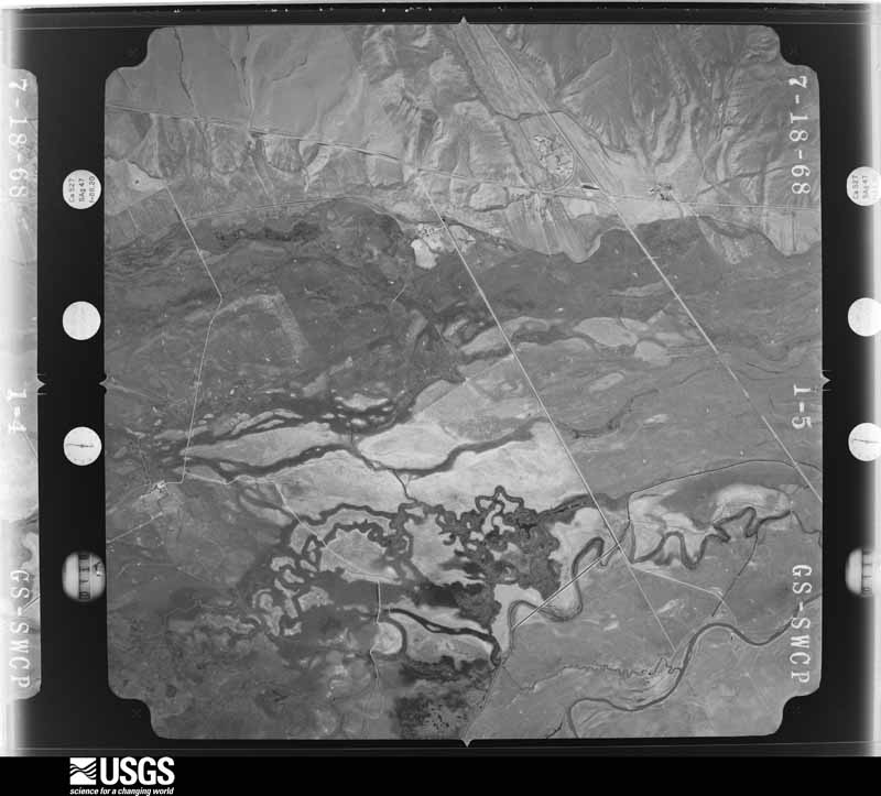
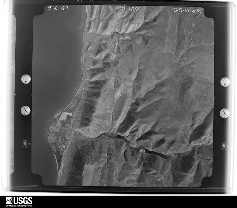
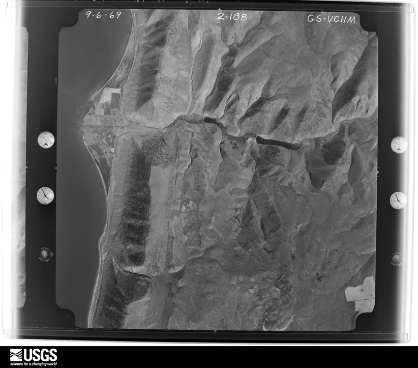
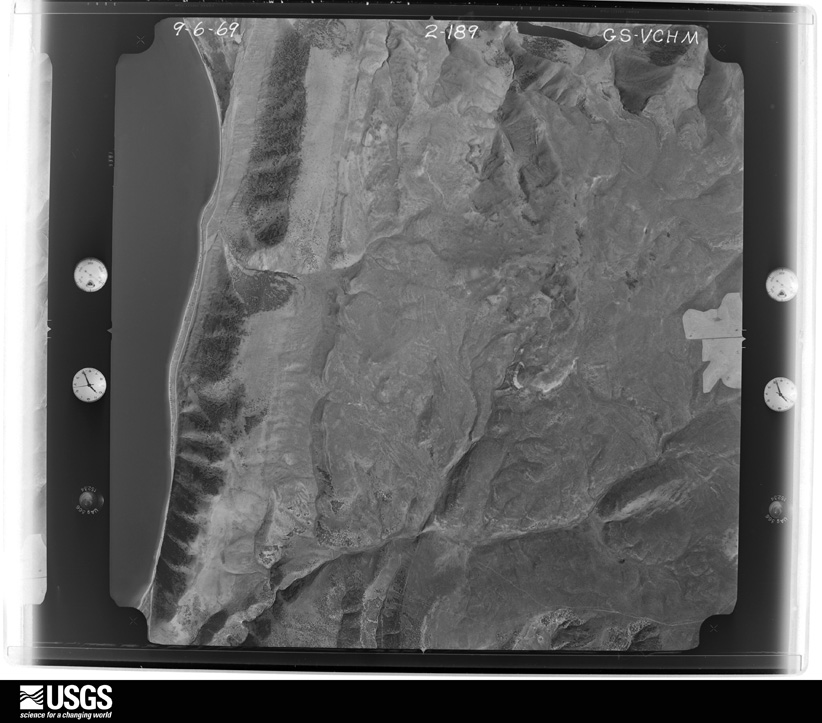
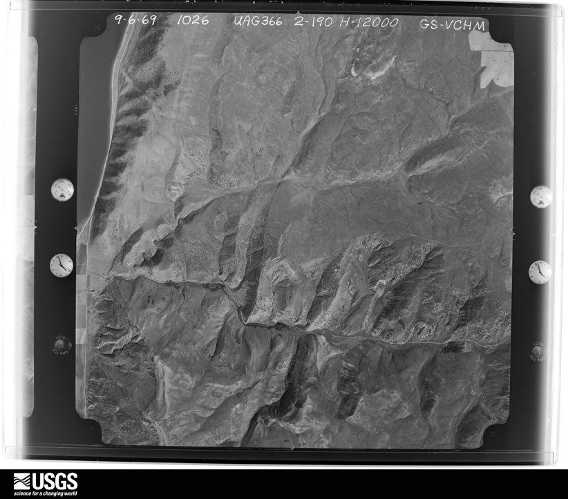
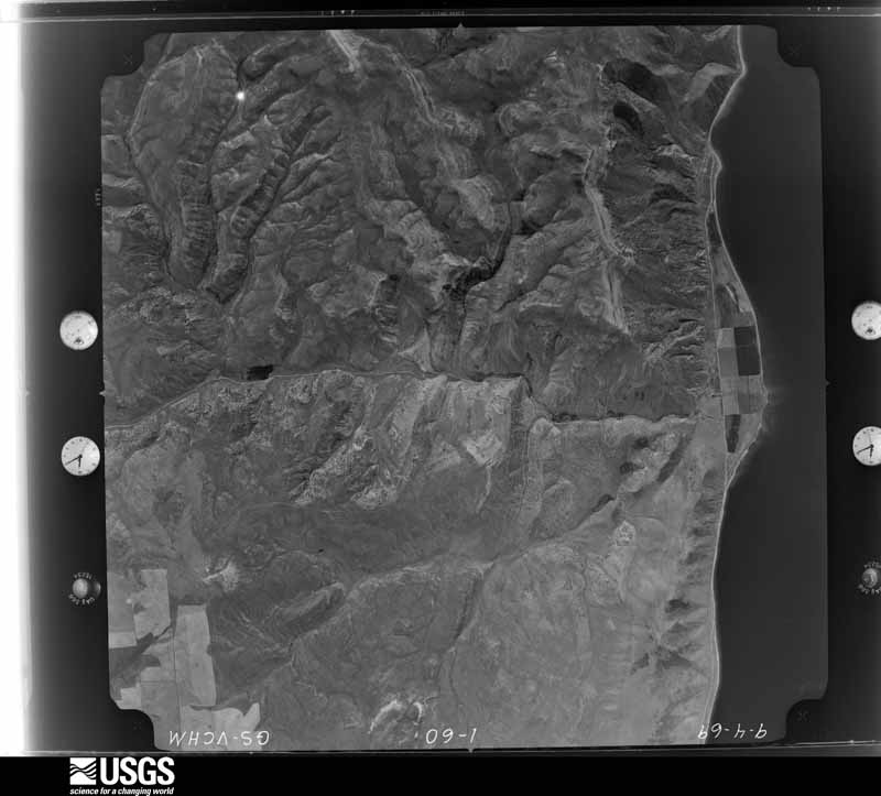
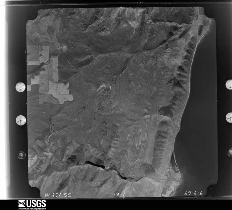
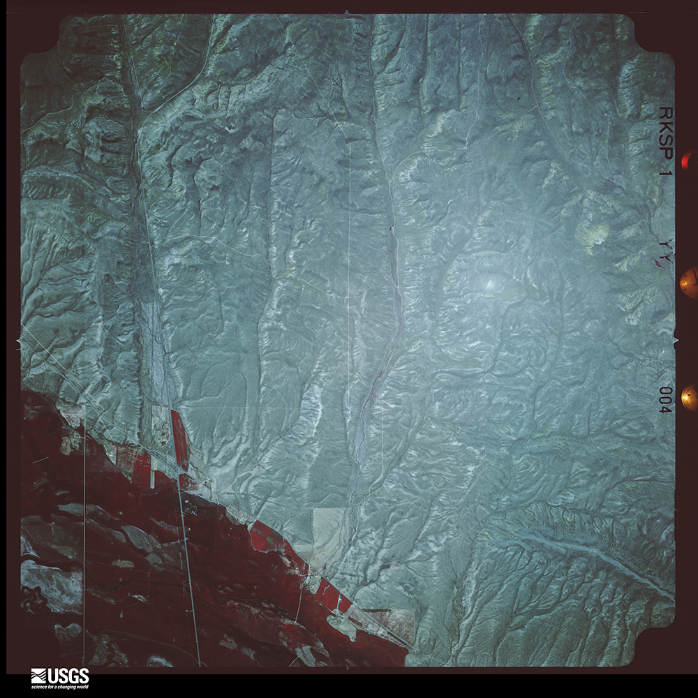

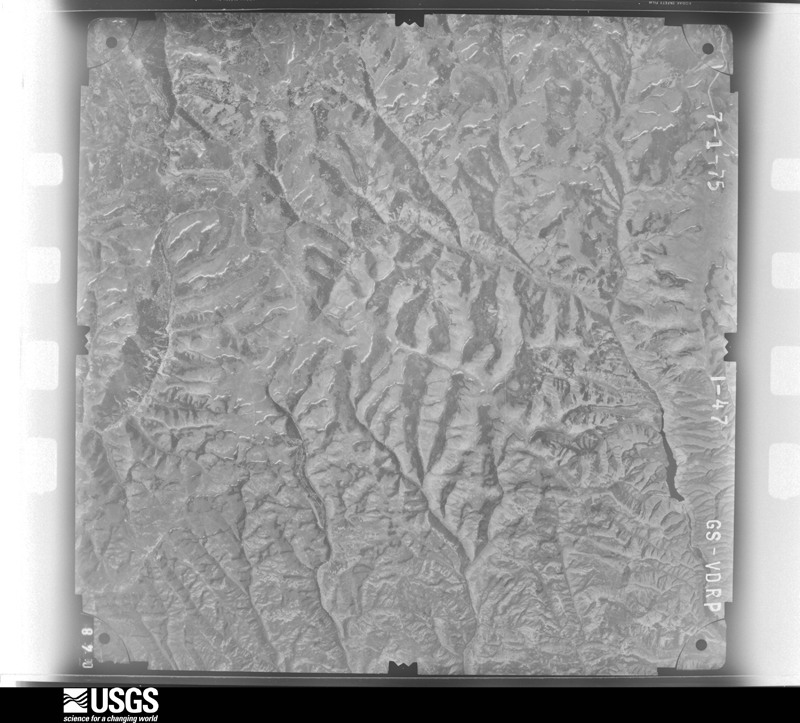
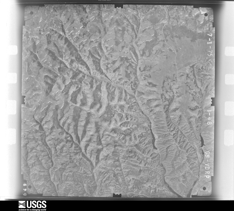
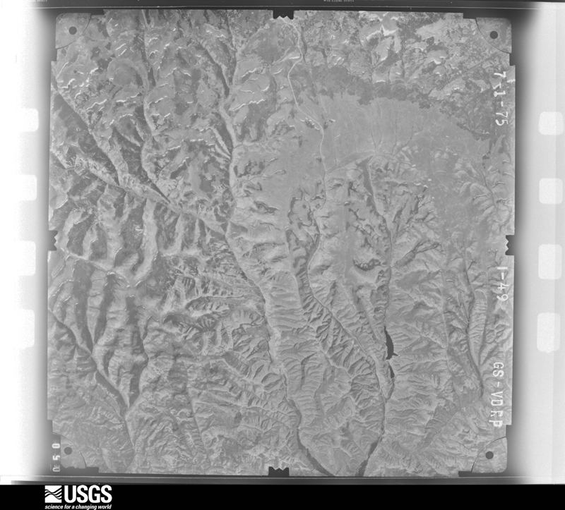
The thermometers that kept this county's weather, and the gages that measured the flow of its streams, as the federal records hold them. The extremes below are measured values from those records, not estimates.
Who lived here in 1950, one enumeration district at a time, as the Census Bureau described each district. Each row opens its official National Archives result, with Population Schedules and ED Maps available there.
Every wildfire the federal occurrence database records inside this county: 251 of them, burning about 40,670 acres. 95 started naturally and none was recorded as arson. Each settlement page carries the fires within five miles of it.
| Reported cause | Fires |
|---|---|
| Natural | 95 |
| Missing data/not specified/undetermined | 46 |
| Recreation and ceremony | 45 |
| Equipment and vehicle use | 36 |
| Debris and open burning | 8 |
| Fireworks | 7 |
| Power generation/transmission/distribution | 6 |
| Smoking | 5 |
| Misuse of fire by a minor | 2 |
| Railroad operations and maintenance | 1 |
The five largest, by the area the report gives. None of them was recorded as arson.
| Date | Cause | Size | Reported by | Name on the report |
|---|---|---|---|---|
| 16 August 2018 | Power generation/transmission/distribution | 13,763 acres | Kemmerer Field Office | NORTH EDEN |
| 4 August 1994 | Natural | 10,500 acres | Uinta-Wasatch-Cache National Forest | DRY CANYON 2 |
| 1 August 1992 | Missing data/not specified/undetermined | 4,160 acres | Utah Division Forestry Fire State Lands | DESERET/SPRING CANYON |
| 1 August 1994 | Natural | 3,640 acres | Uinta-Wasatch-Cache National Forest | EDGAR CANYON |
| 1 July 2000 | Natural | 1,415 acres | Uinta-Wasatch-Cache National Forest | RABBIT CREEK |
| 10 August 2003 | Natural | 887 acres | Salt Lake Field Office | EAST BEAR |
| 1 September 1994 | Missing data/not specified/undetermined | 730 acres | Utah Division Forestry Fire State Lands | MURPHY RIDGE II |
| 20 August 2005 | Natural | 700 acres | Utah Division Forestry Fire State Lands | FIVE SPRING |
Every settlement page carries the fires within five miles of it - see the settlement index below.
The NOAA Storm Events Database holds 29 reports for this county, causing no deaths, no injuries and about $364,700 in recorded property damage. Each settlement page carries the reports that name it.
| Kind of event | Reports |
|---|---|
| Thunderstorm Wind | 19 |
| Tornado | 2 |
| Hail | 2 |
| Waterspout | 2 |
| Flood | 2 |
| Heavy Rain | 1 |
| Flash Flood | 1 |
The most serious of them, by death, then injury, then recorded damage. The accounts are quoted exactly as the forecast office filed them.
| When | Event | Place named | Harm | What the report says |
|---|---|---|---|---|
| February 2017 | Flood | Garden City | $250,000 | Heavy rain and snowmelt overwhelmed drainage systems in portions of Rich County. A 10 to 15 foot section of a canal was breached near Garden City, leading to flooding in several homes. Eleven homes were also flooded in Laketown, and water flowed over multiple area roadways, including State Route 16 between Randolph and Woodruff. |
| August 2021 | Flash Flood | Randolph | $50,000 | An observer reported 3 feet of rocks, mud, and water flooded into a ranch basement and nearly moved a second home off its foundation near the Crawford Mountains. |
| July 2021 | Flood | Randolph | $30,000 | Basement flooding occurred in 3 homes in Randolph. |
| May 1954 | Tornado (F1) | not stated | $25,000 | no account filed |
| June 1965 | Tornado (F1) | not stated | $2,500 | no account filed |
| June 2017 | Thunderstorm Wind | Garden City | $2,000 | A maximum wind gust of 45 mph was recorded at the Bear Lake sensor. Wind damage was reported near Bear Lake and in Garden City, including large tree limbs that were damaged and roof shingles that were blown off of a house. |
| September 2007 | Thunderstorm Wind | Garden City | $2,000 | The roof of a mobile home was blown off. |
| August 1999 | Thunderstorm Wind | Woodruff | $2,000 | Microburst winds uprooted several trees and downed power lines near the town of Woodruff. |
| June 2011 | Thunderstorm Wind | Woodruff | $1,000 | The Otter Creek RAWS recorded a maximum wind gust of 64 mph. In addition, the Rich County sheriff reported that a large tree was knocked over in Woodruff. |
| June 1998 | Thunderstorm Wind | Randolph | $200 | no account filed |
| May 2025 | Thunderstorm Wind | Garden City | - | The FW8325 Garden City mesonet station recorded a wind gust of 60 mph as a result of outflow winds associated with a nearby cluster of showers and thunderstorms moving through the area. |
| July 2024 | Thunderstorm Wind | Woodruff | - | The SR-16 @ MP1 mesonet station recorded an initial peak wind gust of 66 mph at 6:40 pm MST. After a brief period of slightly sub-severe wind gusts, a gust of 61 mph was recorded at 7:10 pm MST followed by a final severe wind gust of 58 mph at 7:20 pm MST. These gusts were the result of outflow winds associated with a nearby cluster of showers and thunderstorms moving through the area. |
| August 2024 | Thunderstorm Wind | Laketown | - | A wind gust of 59 mph was recorded at the Otter Creek mesonet site. |
| August 2024 | Thunderstorm Wind | Laketown | - | A wind gust of 61 mph was recorded at the East Bearlake mesonet site. |
| May 2023 | Thunderstorm Wind | Laketown | - | The high elevation Otter Creek mesonet station recorded a wind gust of 76 mph as a result of outflow winds associated with a nearby cluster of showers and thunderstorms moving through the area. |
| July 2023 | Thunderstorm Wind | Laketown | - | The East Bearlake mesonet station recorded a wind gust of 60 mph as a result of outflow winds associated with a nearby cluster of showers and thunderstorms moving through the area. |
| July 2023 | Thunderstorm Wind | Laketown | - | The East Bearlake mesonet station recorded a wind gust of 62 mph as a result of outflow winds associated with a nearby cluster of showers and thunderstorms moving through the area. |
| August 2021 | Thunderstorm Wind | Laketown | - | The Otter Creek automated weather station recorded a peak wind gust of 59 mph. |
| June 2015 | Thunderstorm Wind | Laketown | - | A maximum wind gust of 69 mph was recorded at the Otter Creek RAWS. |
| September 2007 | Thunderstorm Wind | Garden City | - | A 51 knot gust of wind was recorded at Otter Creek RAWS. |
| June 2005 | Thunderstorm Wind | Randolph | - | Otter Creek RAWS |
| July 2002 | Hail | Randolph | - | A severe thunderstorm deposited 3/4 inch hail about 3 miles south of Randolph. |
| October 1998 | Waterspout | Laketown | - | A spotter observed a waterspout on the Utah portion of Bear Lake. |
| April 1999 | Heavy Rain | Countywide | - | no account filed |
| September 1996 | Waterspout | Bear Lake | - | no account filed |
| May 1994 | Thunderstorm Wind | Randolph | - | no account filed |
| July 1994 | Thunderstorm Wind | Randolph | - | no account filed |
| July 1994 | Thunderstorm Wind | Randolph | - | no account filed |
| July 1987 | Hail | not stated | - | no account filed |
The Survey's mineral resources record lists 107 workings inside this county. 24 still produce and 83 are closed or unrecorded. Each settlement page carries the workings within five miles of it.
| Commodity | Workings |
|---|---|
| Sand and Gravel, Construction | 53 |
| Phosphorus-Phosphates | 33 |
| Stone, Crushed/Broken | 9 |
| Limestone, General | 3 |
| Manganese | 3 |
| Selenium | 3 |
| Iron | 2 |
| Uranium | 2 |
| Lead, Copper | 1 |
| Barium-Barite | 1 |
| Copper, Barium-Barite, Lead | 1 |
| Barium-Barite, Copper | 1 |
| Molybdenum | 1 |
| Limestone, Dimension | 1 |
The least common of them first, because a county's hundredth gravel pit says nothing its first ten did not.
| Where | Site | Commodity | Status | Recorded |
|---|---|---|---|---|
| Frank Mine | Molybdenum | Past Producer | ||
| Hodge's Canyon | Iron, Barium-Barite, Copper | Occurrence | Vein | |
| Unknown | Limestone, Dimension | Past Producer | ||
| Utah Dept of Highways Pit No 17018 | Limestone, Dimension, Sand and Gravel, Construction | Past Producer | ||
| Victoria No 1 Prospect | Lead, Copper, Barium-Barite | Prospect | Vein | |
| Victoria No. 1 | Copper, Barium-Barite, Lead | Occurrence | Barite | |
| Crawford Mountains Group | Phosphorus-Phosphates, Uranium | Past Producer | 1904, 1907 | |
| Lakeview Manganese Mine | Manganese, Iron | Past Producer | Vein | |
| Northern Wasatch Range | Phosphorus-Phosphates, Uranium | Prospect | 1889 | |
| Arickaree Mine | Phosphorus-Phosphates, Selenium | Past Producer | 1897, 1907 | |
| Bear Lake Summit Limestone Pit | Limestone, General | Past Producer | Surface | |
| Lakeview Claims | Manganese | Prospect | 1946 | |
| Lakeview Manganese Mine | Manganese | Occurrence | ||
| Mandan Mine | Phosphorus-Phosphates, Selenium | Past Producer | Bedded -Phosphate | |
| Sioux Claim | Phosphorus-Phosphates, Selenium | Occurrence | Whitlockite | |
| Unknown | Limestone, General | Occurrence | Surface | |
| Unknown | Limestone, General | Occurrence | Calcite | |
| Unknown | Stone, Crushed/Broken | Past Producer | ||
| Unknown | Stone, Crushed/Broken | Past Producer | ||
| Unknown | Stone, Crushed/Broken | Past Producer | ||
| Unknown Mine | Stone, Crushed/Broken | Past Producer | Sedimentary | |
| Unknown Mine | Stone, Crushed/Broken | Past Producer | Sedimentary | |
| Unknown Mine | Stone, Crushed/Broken | Past Producer | Sedimentary | |
| Unknown Mine | Stone, Crushed/Broken | Past Producer | ||
| Unknown Pit | Stone, Crushed/Broken | Past Producer | Sedimentary | |
| Unknown Rock Quarry | Stone, Crushed/Broken | Past Producer | Surface | |
| Benjamin Mine | Phosphorus-Phosphates | Past Producer | 1964 | |
| Cherokee Mine | Phosphorus-Phosphates | Past Producer | 1957 | |
| Emma Mine | Phosphorus-Phosphates | Past Producer | 1897, 1954 | |
| Frank Mine | Phosphorus-Phosphates | Past Producer | Apatite | |
| Lake Town Phosphate Deposits | Phosphorus-Phosphates | Past Producer | ||
| Laketown Phosphate Deposits | Phosphorus-Phosphates | Prospect | Whitlockite | |
| Otto Mine | Phosphorus-Phosphates | Past Producer | Bedded - Phosphate | |
| Pawnee Mine | Phosphorus-Phosphates | Past Producer | Bedded - Phosphate | |
| Phosphate Deposits | Phosphorus-Phosphates | Occurrence | Whitlockite | |
| Rex Peak Mines | Phosphorus-Phosphates | Past Producer | Chemical Sediment, Marine | |
| Rex Peak Mines | Phosphorus-Phosphates | Past Producer | CHEMICAL SEDIMENT | |
| Sugar Pine Canyon | Phosphorus-Phosphates | Past Producer | ||
| Sugar Pine Canyon Locality | Phosphorus-Phosphates | Prospect | CHEMICAL SEDIMENT | |
| Tuscarora Mine | Phosphorus-Phosphates | Past Producer | 1897, 1954 | |
| Unknown | Phosphorus-Phosphates | Occurrence | Surface | |
| Unknown | Phosphorus-Phosphates | Past Producer | Apatite | |
| Unknown | Phosphorus-Phosphates | Occurrence | 1909 | |
| Unknown | Phosphorus-Phosphates | Occurrence | ||
| Unknown | Phosphorus-Phosphates | Occurrence | Surface/Underground | |
| Unknown | Phosphorus-Phosphates | Occurrence | Apatite | |
| Unknown | Phosphorus-Phosphates | Producer | ||
| Unknown | Phosphorus-Phosphates | Producer | ||
| Unknown | Phosphorus-Phosphates | Past Producer | ||
| Unknown | Phosphorus-Phosphates | Past Producer | ||
| Unknown | Phosphorus-Phosphates | Past Producer | ||
| Unknown Prospect | Phosphorus-Phosphates | Occurrence | ||
| Woodruff Creek Phosphate Prospect | Phosphorus-Phosphates | Past Producer | ||
| Woodruff Creek Phosphate Prospects | Phosphorus-Phosphates | Occurrence | Collophane | |
| Dairy Ridge Gravel Pit | Sand and Gravel, Construction | Producer | ||
| Dairy Ridge Gravel Pit #1 | Sand and Gravel, Construction | Producer | Dolomite | |
| Gravel Pit | Sand and Gravel, Construction | Past Producer | ||
| Gravel Pit. | Sand and Gravel, Construction | Past Producer | Surface | |
| Home Ranch Gravel Pit #2 | Sand and Gravel, Construction | Past Producer | Unconsolidated Sediments | |
| Home Ranch Gravel Pit No 1 | Sand and Gravel, Construction | Past Producer | ||
| Home Ranch Gravel Pit No. 1 | Sand and Gravel, Construction | Past Producer | Surface | |
| Johnson Ready Mix Pit | Sand and Gravel, Construction | Producer | Surface | |
| Leefe Gravel Pit #1 | Sand and Gravel, Construction | Producer | Unconsolidated Sediments | |
| Leefe Gravel Pit #2 | Sand and Gravel, Construction | Past Producer | Quartzite, Sand, Sandstone | |
| Leefe Gravel Pit #3 | Sand and Gravel, Construction | Producer | Quartzite, Sand, Sandstone | |
| Leefe Gravel Pit #4 | Sand and Gravel, Construction | Producer | Quartzite, Sandstone | |
| Leefe Gravel Pit No 1 | Sand and Gravel, Construction | Producer | ||
| Leefe Gravel Pit No 2 | Sand and Gravel, Construction | Past Producer | ||
| Leefe Gravel Pit No 3 | Sand and Gravel, Construction | Producer | ||
| Leefe Gravel Pit No 4 | Sand and Gravel, Construction | Producer | ||
| Rex Peak Borrow Pit #2 | Sand and Gravel, Construction | Producer | Unconsolidated Sediments | |
| Rex Peak Borrow Pit No 2 | Sand and Gravel, Construction | Past Producer | ||
| Rex Peak Borrow Pit No 3 | Sand and Gravel, Construction | Past Producer | ||
| Rex Peak Gravel Pit #3 | Sand and Gravel, Construction | Producer | Unconsolidated Sediments | |
| Sage Creek Gravel Pit | Sand and Gravel, Construction | Past Producer | ||
| Sage Creek Gravel Pit No 1 | Sand and Gravel, Construction | Past Producer | Unconsolidated Sediments | |
| Unknown | Sand and Gravel, Construction | Past Producer | Unconsolidated Sediments | |
| Unknown | Sand and Gravel, Construction | Past Producer | ||
| Unknown | Sand and Gravel, Construction | Past Producer | ||
| Unknown | Sand and Gravel, Construction | Past Producer | ||
| Unknown | Sand and Gravel, Construction | Producer | ||
| Unknown Mine | Sand and Gravel, Construction | Producer | Unconsolidated Sediments | |
| Unknown Pit | Sand and Gravel, Construction | Past Producer | Unconsolidated Sediments | |
| Unknown Pit | Sand and Gravel, Construction | Past Producer | Unconsolidated Sediments | |
| Unknown Pit | Sand and Gravel, Construction | Past Producer | Unconsolidated Sediments | |
| Unknown Pit | Sand and Gravel, Construction | Past Producer | ||
| Unknown Pit | Sand and Gravel, Construction | Past Producer | ||
| Unknown Pit | Sand and Gravel, Construction | Past Producer | ||
| Ut Dept Hwys Pit No 17012 | Sand and Gravel, Construction | Producer | ||
| Ut Dept of Hwy Pit No 17011 | Sand and Gravel, Construction | Past Producer | ||
| Ut Dept of Hwys Pit No 17014 | Sand and Gravel, Construction | Producer | ||
| Ut. Dept. of Hwys, Pit No. 17012 | Sand and Gravel, Construction | Producer | Unconsolidated Sediments | |
| Ut. Dept. of Hwys, Pit No. 17014 | Sand and Gravel, Construction | Producer | Unconsolidated Sediments | |
| Ut. Dept. of Hwys. Pit. No. 17007 | Sand and Gravel, Construction | Past Producer | Unconsolidated Sediments | |
| Utah Dept of Highways Pit No 17007 | Sand and Gravel, Construction | Past Producer | ||
| Utah Dept of Highways Pit No 17009 | Sand and Gravel, Construction | Producer | ||
| Utah Dept of Highways Pit No 17019 | Sand and Gravel, Construction | Producer | ||
| Utah Dept of Highways Pit No 17020 | Sand and Gravel, Construction | Past Producer | ||
| Utah Dept of Hwys Borrow Pit 17008 | Sand and Gravel, Construction | Past Producer | ||
| Utah Dept. of Highways Pit #17009 | Sand and Gravel, Construction | Producer | Unconsolidated Sediments | |
| Utah Dept. of Highways Pit #17011 | Sand and Gravel, Construction | Past Producer | Unconsolidated Sediments | |
| Utah Dept. of Highways Pit #17019 | Sand and Gravel, Construction | Producer | Unconsolidated Sediments | |
| Utah Dept. of Highways Pit #17020 | Sand and Gravel, Construction | Past Producer | Unconsolidated Sediments | |
| Utah Dept. of Highways Potential Borrow Pit 17008 | Sand and Gravel, Construction | Occurrence | Unconsolidated Sediments | |
| Utah Dept. of Highways Potential Pit #17018 | Sand and Gravel, Construction | Occurrence | Unconsolidated Sediments | |
| Woodruff Narrows N01 Gravel Pits | Sand and Gravel, Construction | Producer | ||
| Woodruff Narrows No. 1 Gravel Pits | Sand and Gravel, Construction | Past Producer | Surface |
Named settlements recorded in the Geographic Names Information System, each with the topographic sheets covering it. Villages, hamlets and abandoned places alike. Each is shown with the nearest named watercourse or landform and the survey quadrangle it falls on. The 1 place that was also surveyed for fire insurance comes first, with the number of atlases and photographs held for them.
Randolph-Woodruff census division · 84064 · On Little Creek · Randolph quadrangle
13 sheets, 1912 to 1984
Fire insurance: 2 atlases
Garden City-Laketown census division · 84028 · Garden City quadrangle
16 sheets, 1912 to 1998
Garden City-Laketown census division · 84028 · In Garden City Canyon · Garden City quadrangle
16 sheets, 1912 to 1998
Garden City-Laketown census division · 84038 · In Laketown Canyon · Laketown quadrangle
13 sheets, 1912 to 1984
Garden City-Laketown census division · 84028 · On Swan Creek · Garden City quadrangle
16 sheets, 1912 to 1998
Garden City-Laketown census division · 84038 · Near Temple Canyon · Meadowville quadrangle
13 sheets, 1912 to 1998
Garden City-Laketown census division · 84028 · Near Burnt Fork · Garden City quadrangle
16 sheets, 1912 to 1998
Garden City-Laketown census division · 84028 · Near Hodges Canyon · Garden City quadrangle
16 sheets, 1912 to 1998
No longer a settlement
Randolph-Woodruff census division · 84064 · On Sage Creek · Leefe quadrangle
13 sheets, 1912 to 1984
Randolph-Woodruff census division · 84086 · On Genes Creek · Woodruff quadrangle
13 sheets, 1912 to 1984
The vanished settlements of Rich County: the places named above that are no longer on the map.
13 topographic sheets and 2 fire insurance atlases, 1916 to 1922