 Block
Honey Lake, Wisconsin
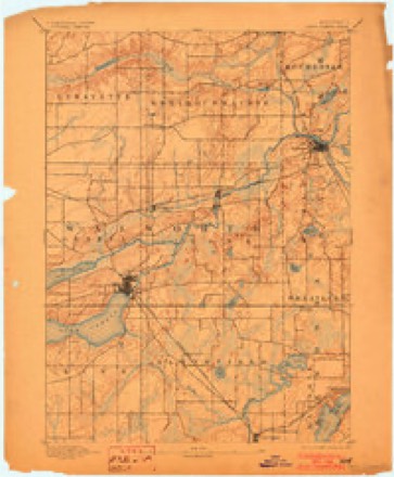
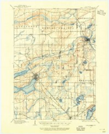
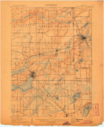
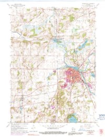
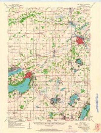
19 topographic sheets cover this place, the earliest surveyed in 1893 and the latest in 1980. It stands in Rochester Village. It lies in ZIP code area 53105. The Survey maps it on the Burlington quadrangle. It stands 774 feet above sea level.
Topographic sheets covering this place
10 surveys from 19 printed sheetsMatched by testing this settlement's coordinate against the published boundary of every sheet in the United States Geological Survey's historical collection. Each opens the scanned sheet at the Survey.
- 1893 USGS Geneva quadrangle1:62500, 2 printings
- 1904 USGS Lake Geneva quadrangle1:62500
- 1906 USGS Lake Geneva quadrangle1:62500, 4 printings
- 1954 USGS Rockford quadrangle1:250000
- 1955 USGS Rockford quadrangle1:250000
- 1958 USGS Rockford quadrangle1:250000, 4 printings
- 1960 USGS Burlington quadrangle1:24000, 3 printings
- 1960 USGS Lake Geneva quadrangle1:62500
- 1963 USGS Rockford quadrangle1:250000
- 1980 USGS Lake Geneva quadrangle1:100000





What happened here
An account from the chapter on Rochester village. The inset identifies its exact source book and publication year.
Miscellaneous
The Hanging of John McCaffrey. - Capital punishment, as is known, is prohibited by statute in Wisconsin. In two cases only, has it been enforced, and one of these occurred in Kenosha County, when John McCaffrey suffered the extreme penalty of the law, for the murder of his wife. The crime was committed on the night of Monday, July 22, 1850.
In the county-history sources
53,959 words on this townshipOfficial Record of the Old Settlers Society of Racine County, Wisconsin : with the Historical Address of Charles E. Dyer, Delivered at Burlington, Wis., February 22, 1871, published 1871; The History of Racine and Kenosha Counties, Wisconsin .., published 1879; Racine County Militant; an Illustrated Narrative of War Times, and a Soldiers' Roster; a Pioneer Publication Undertaken in the Interest of Patriotic Americans in Racine County, Wisconsin. A Home-made Book, About Home People, for Home People, published 1915 has no passage naming this settlement, which was common for smaller places. Its township is covered in full.
The chapter on Rochester Village covers the township.
Read the chapter on Rochester Village - 53,959 words.
Fires near this place
21 since 2018Regional context, not property-specific evidence. The federal wildfire occurrence database lists 21 fires within 5 miles of Honey Lake between 2018 and 2020, burning about 38 acres in total. 2 started naturally. 1 was recorded as arson. Distance is straight-line from the map coordinates, so a fire counted here may appear on a neighbouring settlement's page as well.
| Reported cause | Fires |
|---|---|
| Missing data/not specified/undetermined | 11 |
| Debris and open burning | 7 |
| Natural | 2 |
| Arson/incendiarism | 1 |
The most recent of them, most recent first, with the day each was reported and the service that recorded it.
| Date | Cause | Size | Reported by | Name on the report |
|---|---|---|---|---|
| 26 August 2018 | Natural | 1.0 acres | Wisconsin Department of Natural Resources | 217 |
| 9 June 2020 | Missing data/not specified/undetermined | 1.0 acres | Wisconsin Department of Natural Resources | 717 |
| 1 June 2018 | Debris and open burning | 1.0 acres | Wisconsin Department of Natural Resources | 517 |
| 4 May 2018 | Missing data/not specified/undetermined | under an acre | Wisconsin Department of Natural Resources | 97 |
| 2 May 2018 | Natural | under an acre | Wisconsin Department of Natural Resources | 132 |
| 7 April 2018 | Debris and open burning | 20 acres | Wisconsin Department of Natural Resources | 75 |
| 7 April 2018 | Missing data/not specified/undetermined | under an acre | Wisconsin Department of Natural Resources | 67 |
| 3 April 2019 | Debris and open burning | under an acre | Wisconsin Department of Natural Resources | 81 |
Settlements close enough to share some of these fires:
Mines and quarries near this place
10 of 11 shownRegional context, not property-specific evidence. The federal mineral resources record lists 11 workings within 5 miles of Honey Lake: 6 producers, 5 past producers. 6 still produce. What was taken out: Sand and Gravel, Construction, Stone, Crushed/Broken. Distance is straight-line from the map coordinates, so a quarry counted here may appear on a neighbouring settlement's page as well.
| Where | Site | Commodity | Status | Recorded |
|---|---|---|---|---|
| Limestone Quarry #3 | Stone, Crushed/Broken | Producer | ||
| Alby Pit Number 1 | Sand and Gravel, Construction | Producer | ||
| Alby Pit Number 2 | Sand and Gravel, Construction | Past Producer | ||
| Burlington Pit Yard 12 | Sand and Gravel, Construction | Producer | ||
| Dons Pit | Sand and Gravel, Construction | Producer | ||
| J W Peters and Sons Inc Pit No 1 | Sand and Gravel, Construction | Producer | ||
| Oakes Pit | Sand and Gravel, Construction | Past Producer | ||
| Payne and Dolan Pit | Sand and Gravel, Construction | Past Producer | ||
| Racine County Hwy Dept Frost Pit | Sand and Gravel, Construction | Producer | ||
| Rochester Pit | Sand and Gravel, Construction | Past Producer |
Storms near this place
3 since 2010Regional context, not property-specific evidence. The National Weather Service names Honey Lake in 3 storm reports between 2010 and 2017: 2 flash flood, 1 flood. No death or injury is recorded in these reports. Each account below is quoted exactly as the forecast office filed it, from the NOAA Storm Events Database, and each date opens the federal record of that event.
| When | Event | Place named | Harm | What the report says |
|---|---|---|---|---|
| July 2017 | Flood | Honey Lake | $23,500,000 | The Fox River crested in Burlington at a record level of 16.15 feet on July 13th after 4-8 inches of rain in the Fox River Basin. The city of Burlington is divided in half at this river stage from east to west. Bridges and streets in downtown Burlington are blocked off and closed, including Bridge Street. Floodwaters affect homes on the following streets north of E. Jefferson St. in Burlington: North Spring St., North Main St., East Washington St., North Wisconsin St., and Capital Street. Riverside Park and Veterans Park is flooded. Floodwaters affect a portion of Brever Road 4 miles south of Burlington. Floodwaters also approach highway 83. Various road closures over the southwest half of Racine County continued due to flooding. The power was out for much of Burlington for a few days. |
| July 2017 | Flash Flood | Honey Lake | $300,000 | Four to eight inches of rain fell over the southwest half of the county over several hours causing urban and rural flash flooding. Racine County and the city and town of Burlington declared emergencies. Many creeks flooded; thereby flooding and washing-out many roads. Some of the roads that were closed were portions of highways 11 and 20 near the communities of Kansasville and Beaumont. The Hoosier Creek flooded and washed-out a portion of Mount Tom Rd. and flooded a portion of highway J. Urban flash flooding in Burlington and Union Grove closed many roads. The Fox River began to flood with sandbagging along the river in Waterford and Burlington. |
| July 2010 | Flash Flood | Honey Lake | $20,000 | The southern edge of a line of training thunderstorms pushed across northern portions of Racine County, producing between 3 and 4 inches of rain in two hours or less. water covering area roads made them impassable, including CTH G at I-94, with the flood waters washing out gravel shoulders. Basements flooded, causing damage to contents, including the basement of a home on Spring Street on the northwest side of the city of Racine, flooded with water from the swollen Root River. |
Nearest settlements
The eight closest, with where each one stands in the county. Distances are straight-line, computed from the Geographic Names Information System coordinates.
| Map | Place | Distance | Sheets |
|---|---|---|---|
| Burlington | 3.0 miles | 19 | |
| Browns Lake | 4.3 miles | 19 | |
| Cedar Park | 4.4 miles | 19 | |
| Rochester | 4.7 miles | 19 | |
| Waterford | 5.8 miles | 18 | |
| Harbor Heights | 6.5 miles | 18 | |
| Bohners Lake | 6.5 miles | 18 | |
| Buena Park | 7.0 miles | 18 |
Elsewhere
Matched on this settlement's Geographic Names Information System number rather than its name, so it cannot be a different place of the same name in another state.
| Wikipedia article on Honey Lake | An encyclopaedic summary. Its text is share-alike, so it is linked here rather than copied. |
| Wikidata item Q23750673 | The structured record the population and elevation above come from. Public domain (CC0). |
Provenance
This settlement is recorded in the Geographic Names Information System as feature 1566657. The sheet list is computed by point-in-boundary test against the United States Geological Survey's historical topographic inventory. Both are works of the United States government and carry no copyright under 17 U.S.C. 105.
Wildfire. Short, Karen C. 2022. Spatial wildfire occurrence data for the United States, 1992-2020 [FPA_FOD_20221014]. 6th Edition. Fort Collins, CO: Forest Service Research Data Archive. https://doi.org/10.2737/RDS-2013-0009.6 Collected with United States Government funding and usable without additional permissions or fees.
Mines and quarries. USGS Mineral Resources Data System (MRDS) https://mrdata.usgs.gov/mrds/ A work of the United States government, no copyright under 17 U.S.C. 105.
Storms. NOAA National Centers for Environmental Information, Storm Events Database https://www.ncei.noaa.gov/stormevents/ A work of the United States government, no copyright under 17 U.S.C. 105. Narratives are quoted verbatim from the National Weather Service report and are not edited or summarised.