 Block
Waumandee, Wisconsin
11 topographic sheets cover this place, the earliest surveyed in 1932 and the latest in 1985. It stands in Waumandee town. It lies in ZIP code area 54622. It lies near Irish Valley. The Survey maps it on the Waumandee quadrangle.
On record in Waumandee
Buildings and businesses the archive holds for this place. Each opens its own page, with the source record it came from.
On the National Register 1 record
- Harmonia Halllisted 2009
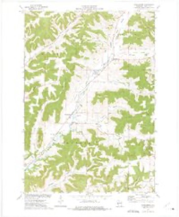
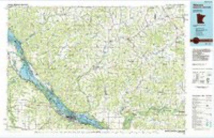
Topographic sheets covering this place
6 surveys from 11 printed sheetsMatched by testing this settlement's coordinate against the published boundary of every sheet in the United States Geological Survey's historical collection. Each opens the scanned sheet at the Survey.
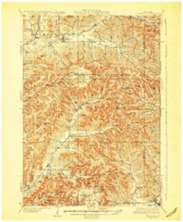
- 1932 USGS Gilmanton quadrangle1:62500, 2 printings
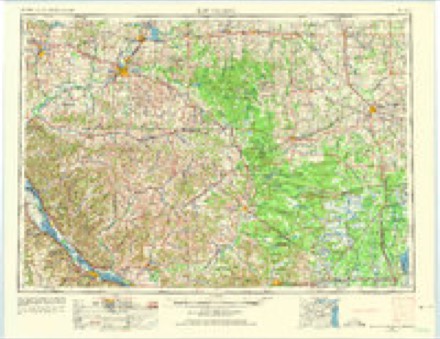
- 1953 USGS Eau Claire quadrangle1:250000, 4 printings
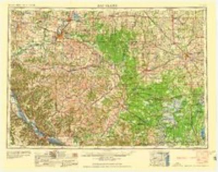
- 1958 USGS Eau Claire quadrangle1:250000
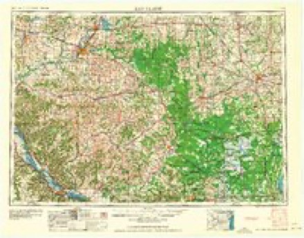
- 1964 USGS Eau Claire quadrangle1:250000
- 1973 USGS Waumandee quadrangle1:24000
- 1985 USGS Winona quadrangle1:100000, 2 printings
In the county-history sources
1,901 words on this townshipHistory of Buffalo County, Wisconsin, published 1888 names this settlement in its chapter on Waumandee Town. These are the passages that mention it, exactly as the scans read.
Before the formation of the towns of Montana in 1867 and Lincoln in 1871, the town of Waumandee embraced the Townships 21 and 22 of Range 11 with the eastern tier of sections in T. 21, R. 12 except Sec 13, and also Sec. 25 and 36 of T, 22, R. 12. The two entire townships constituted the' original town, the sections on the west were annexed in the course of settlement in order to afford settlers communications on legal roads, which could not but lead into Little Waumandee Valley or else in the direction to the main Waumandee Valley road. The northwest part of T. 22, R. 11, lay across the bluffs in Hutphjnson Valley and Sec.
Passage source: History of Buffalo County, Wisconsin, published 1888.
At that time there was no mill in operation in this valley or neighborhood and the earliest settlers were obliged to go to Rollingstone to get their grain reduced to flour. That they also had to get groceries and other necessary things in Fountain City or Alma was a matter of course. In 1862 Caspar Schmitz and his wife, now Mrs, Bach, came to the Big Waumandee and began to keep store and saloon near the Catholic Church, and things began to assume an air of civilization. The organization of the town was begun by a resolution of the county board March 13th, 1856 and perfected at the election a few weeks afterwards. It filled up rapidly and about 1870-80 could boast of two stores, two taverns, several blacksmith shops in different parts etc. These were the flush times when crops were large and prices good. But though crops are not so abundant as in those times, farming is still remunerative in the town, only it is more diversified.
Passage source: History of Buffalo County, Wisconsin, published 1888.
0 and 6 were annexed to Alma, for similar reasons, as the sections on the east side of Belvidere had been annexed to Waumandee in former times. In the organization of the above named towns the northern township has been entirely taken away, but at the discontinuance of the town ofEagle Mills the parts in township 20 were added and retained at the reorganization of the town of Milton in 1870 by the legislature. The cause of this is stated in the chapter on Organization. Bluffs and valleys are described in Topography, but it is to be remarked that it is principally the lower course of the two Waumandee Creeks, which lies within the limits of the present town. The land in the immediate neighborhood of the creeks is frequently smampy though at present less, so than formerly. Most of the soil in the valleys is excellent and as the valleys constitute the greater part of the town, it may by rights be said that in regard to agriculture this town ranks first of all towns of the county. A few farms within the limits of this town are on Bluffs principally in the southern and southeastern part of Township 21. They are of the usual quality of bluflf lands. Wood is comparatively scarce within the town, but certainly not as much as in some towns farther north.
Passage source: History of Buffalo County, Wisconsin, published 1888.
Machine-read from a century-old scan, so expect the errors a machine makes: misspelled names, dropped words, stray characters.
Read the whole chapter on Waumandee Town - it names this place 2 more 2 times.
Fires near this place
1 since 1999Regional context, not property-specific evidence. The federal wildfire occurrence database lists 1 fire within 5 miles of Waumandee in 1999, burning under an acre in total. None started naturally. None was recorded as arson. Distance is straight-line from the map coordinates, so a fire counted here may appear on a neighbouring settlement's page as well.
| Reported cause | Fires |
|---|---|
| Debris and open burning | 1 |
The most recent of them, most recent first, with the day each was reported and the service that recorded it.
| Date | Cause | Size | Reported by | Name on the report |
|---|---|---|---|---|
| 30 April 1999 | Debris and open burning | under an acre | Wisconsin Department of Natural Resources | not named |
Settlements close enough to share some of these fires:
Mines and quarries near this place
10 of 35 shownRegional context, not property-specific evidence. The federal mineral resources record lists 35 workings within 5 miles of Waumandee: 20 occurrences, 12 past producers, 2 producers, 1 unknown. 2 still produce. What was taken out: Stone, Crushed/Broken, Sand and Gravel, Construction, Stone. Distance is straight-line from the map coordinates, so a quarry counted here may appear on a neighbouring settlement's page as well.
| Where | Site | Commodity | Status | Recorded |
|---|---|---|---|---|
| Irish Valley Sand Pit | Sand and Gravel, Construction | Past Producer | ||
| Rotering Quarry | Stone | Unknown | ||
| Blank Hill Rd Limestone Deposit #1 | Stone, Crushed/Broken | Occurrence | ||
| Blank Hill Rd Limestone Deposit #2 | Stone, Crushed/Broken | Occurrence | ||
| Blank Hill Rd Limestone Deposit #3 | Stone, Crushed/Broken | Occurrence | ||
| Buffalo County Operations | Stone, Crushed/Broken | Producer | ||
| Canada Ridge Sandstone Deposit | Stone, Crushed/Broken | Occurrence | ||
| Eagle Valley Road Shale Deposit | Stone, Crushed/Broken | Occurrence | ||
| Elwood Mueller Limestone Deposit | Stone, Crushed/Broken | Occurrence | ||
| Eugene Schaub Limestone Deposit | Stone, Crushed/Broken | Occurrence |
Storms near this place
15 since 1997Regional context, not property-specific evidence. The National Weather Service names Waumandee in 15 storm reports between 1997 and 2026: 8 hail, 5 thunderstorm wind, 1 flood, 1 funnel cloud. No death or injury is recorded in these reports. Each account below is quoted exactly as the forecast office filed it, from the NOAA Storm Events Database, and each date opens the federal record of that event.
| When | Event | Place named | Harm | What the report says |
|---|---|---|---|---|
| June 2017 | Hail | Waumandee | $425,000 | Egg sized hail was reported in Waumandee. |
| May 2024 | Thunderstorm Wind | Waumandee | $90,000 | Law enforcement reported several large trees down and barn damage in Waumandee. |
| April 2026 | Hail | Waumandee | $75,000 | A trained spotter reported a 3 inch diameter hailstone near Waumandee. This report was made about 10 minutes after the hail core had left the area. |
| August 2010 | Flood | Waumandee | $50,000 | Two homes were flooded with water up to the first floor windows, causing significant damage to both homes. |
| July 2010 | Thunderstorm Wind | Waumandee | $8,000 | Law enforcement reported trees down and buildings damaged. |
| July 2010 | Thunderstorm Wind | Waumandee | $4,000 | Law enforcement reported a chicken barn damaged two miles southeast of Waumandee. |
| September 2002 | Hail | Waumandee | $1,200 | no account filed |
| July 2006 | Thunderstorm Wind | Waumandee | $800 | no account filed |
| July 2025 | Thunderstorm Wind | Waumandee | - | The public reported a 72 mph wind gust 3 miles southeast of Waumandee. |
| August 2023 | Funnel Cloud | Waumandee | - | A volunteer observer reported a funnel cloud near Arcadia. |
| June 2017 | Hail | Waumandee | - | Golfball sized hail fell southeast of Waumandee. |
| May 2013 | Hail | Waumandee | - | no account filed |
| June 2005 | Hail | Waumandee | - | no account filed |
| September 2002 | Hail | Waumandee | - | no account filed |
| August 1997 | Hail | Waumandee | - | no account filed |
Nearest settlements
The eight closest, with where each one stands in the county. Distances are straight-line, computed from the Geographic Names Information System coordinates.
| Map | Place | Distance | Sheets |
|---|---|---|---|
| Montana | 3.4 miles | 11 | |
| Anchorage (historical) | 3.6 miles | 19 | |
| Cream | 3.6 miles | 19 | |
| Glencoe | 5.3 miles | 11 | |
| Praag | 5.7 miles | 19 | |
| Herold | 7.2 miles | 19 | |
| Cochrane | 8.6 miles | 14 | |
| Czechville | 8.8 miles | 14 |
Provenance
This settlement is recorded in the Geographic Names Information System as feature 1576313. The sheet list is computed by point-in-boundary test against the United States Geological Survey's historical topographic inventory. Both are works of the United States government and carry no copyright under 17 U.S.C. 105.
Wildfire. Short, Karen C. 2022. Spatial wildfire occurrence data for the United States, 1992-2020 [FPA_FOD_20221014]. 6th Edition. Fort Collins, CO: Forest Service Research Data Archive. https://doi.org/10.2737/RDS-2013-0009.6 Collected with United States Government funding and usable without additional permissions or fees.
Mines and quarries. USGS Mineral Resources Data System (MRDS) https://mrdata.usgs.gov/mrds/ A work of the United States government, no copyright under 17 U.S.C. 105.
Storms. NOAA National Centers for Environmental Information, Storm Events Database https://www.ncei.noaa.gov/stormevents/ A work of the United States government, no copyright under 17 U.S.C. 105. Narratives are quoted verbatim from the National Weather Service report and are not edited or summarised.