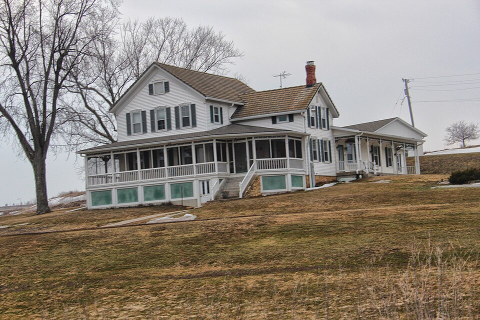
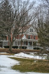
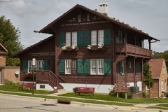
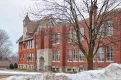
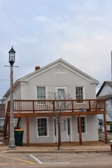
Listed on the National Register of Historic Places in 2000.
From the record
“Adam Blumer, a Swiss, came in 1849 and entered 240 acres of land on sections 8, 9 and 10. He improved a large farm and lived there until the time of his death.”
History of Green County, Wisconsin (1884). Machine-read text.
One of 31 National Register listings published here for Green County · listed in 2000 · category: Building.
National Register reference number.00000601- the number the National Park Service assigned this property when it was listed, and the key its nomination file is catalogued under at the National Archives.
The ground it stands on
12,189 words
The chapter on Washington Town in History of Green County, Wisconsin, published 1877 names Washington. This is what it says, exactly as the scans read.
About the time the capitol at Madison was begun in: 1837, Josiah Pierce of New York landed at Milwaukee,, where he was almost immediately engaged to go to Madison and board the workmen. His was the second family in Madison. In the following November, he removed to a cabin which he had built during the summer in what is now the town of Washington, Green County. The cabin, whose dimensions were sixteen by eighteen feet, was on the line of nearly all the travel from the eastern part of the state to Galena, and there was hardly ever a night that some one did not stop there. Sometimes the guest was Gov. Dodge attended by his colored servant, who rode at a respectful distance behind the Governor, and carried his excellency's pistoL
This was the time of the "wild cat" currency. Apparently everybody could issue money and as much as he chose, and those who did not issue it had no trouble in getting it, though it was often not worth the getting. Mr. Albert H. Pierce, then seventeen years of age, could easily earn $30 a month at farm labor, but it took $50 dollars to buy him an ordinary coat. A man who was hauling flour from Galena to the garrison at Fort Winnebago once broke down near Mr. Pierce's, and finding he could not go on with the whole load, kindly sold Mr. Pierce two barrels at thirteen dollars a barrel. Mr. Noah Phelps, who helped survey Green County before the Black Hawk war, returning at the conclusion of his work to his home in New York state, wished to bring his family to Wisconsin in 1S37. ^e was neai"ly ready to start in May, when the banks suspended specie payment. As all his money was in bank notes, and as government land could be bought only with coin, he was obliged to wait. When specie payment was resumed the next May he was still ready to come, and in June, '38, he made the second home in the town of Washington. By iS42-'43, when the next settlers came to Washington, there were so many people in the county that residence in it was no longer presumptive proof of acquaintance with all its inhabitants. The settlers in the different parts of Washington seem to have had very little to do with each other, and it is now impossible for any of them to give a chronological list of the first comers. Samuel Holloway, of Illinois, went to made their claims. Elijah Roby, of Ohio, went in '46, and C. J. Simmons went in '47. Among the next settlers were Samuel O. Allison, of Illinois; Hiram Bain, of New York; James Richards, of Indiana; John Perine, Barney Becker, Wm. Tucker, James Crouch,
Regional context, not property-specific
evidence. The
federal wildfire occurrence database
lists 23 fires within 5 miles of Hefty-Blum Farmstead
between 2018 and 2020, burning about 134 acres in total. None started naturally. None was recorded as arson.
Distance is straight-line from the map coordinates, so a fire counted
here may appear on a neighbouring settlement's page as well.
Reported cause
Fires
Debris and open burning
16
Missing data/not specified/undetermined
4
Smoking
2
Equipment and vehicle use
1
The most recent of
them, most recent first, with the day each was reported and the service
that recorded it.
Regional context, not property-specific
evidence. The federal mineral resources record lists
10 workings within 5 miles of Hefty-Blum Farmstead: 6 past producers, 3 unknowns, 1 producer.
1 still produces. What was taken out: Stone, Crushed/Broken, Stone, Lead, Zinc. Distance is straight-line from the
map coordinates, so a quarry counted here may appear on a neighbouring
settlement's page as well.
No historic map-sheet match is published
for this property yet. That does not mean no map exists. This record needs
a coordinate-quality review before it can be joined to a sheet boundary.
Browse the county's mapped places while that work is
pending.
Listed places nearby
6 within 8 miles
Other National Register properties close
enough to walk or drive between, ordered by distance from this one. Both
positions come from the same geocoding pass that matched these properties
to their map sheets.
Listing record. National Park Service National Register of Historic Places, listed-properties dataset, current to 2026-05-22.
Map join. Address geocoded through the United States Census geocoder, then tested against the published boundary of every sheet in the USGS Historical Topographic Map Collection.
How this page is made. Listing fields come from federal records; map-sheet coverage is a labelled coordinate-to-boundary calculation, not a source-field claim.
Wildfire. Short, Karen C. 2022. Spatial wildfire occurrence data for the United States, 1992-2020 [FPA_FOD_20221014]. 6th Edition. Fort Collins, CO: Forest Service Research Data Archive. https://doi.org/10.2737/RDS-2013-0009.6 Collected with United States Government funding and usable without additional permissions or fees.
Mines and quarries. USGS Mineral Resources Data System (MRDS) https://mrdata.usgs.gov/mrds/ A work of the United States government, no copyright under 17 U.S.C. 105.
 Block