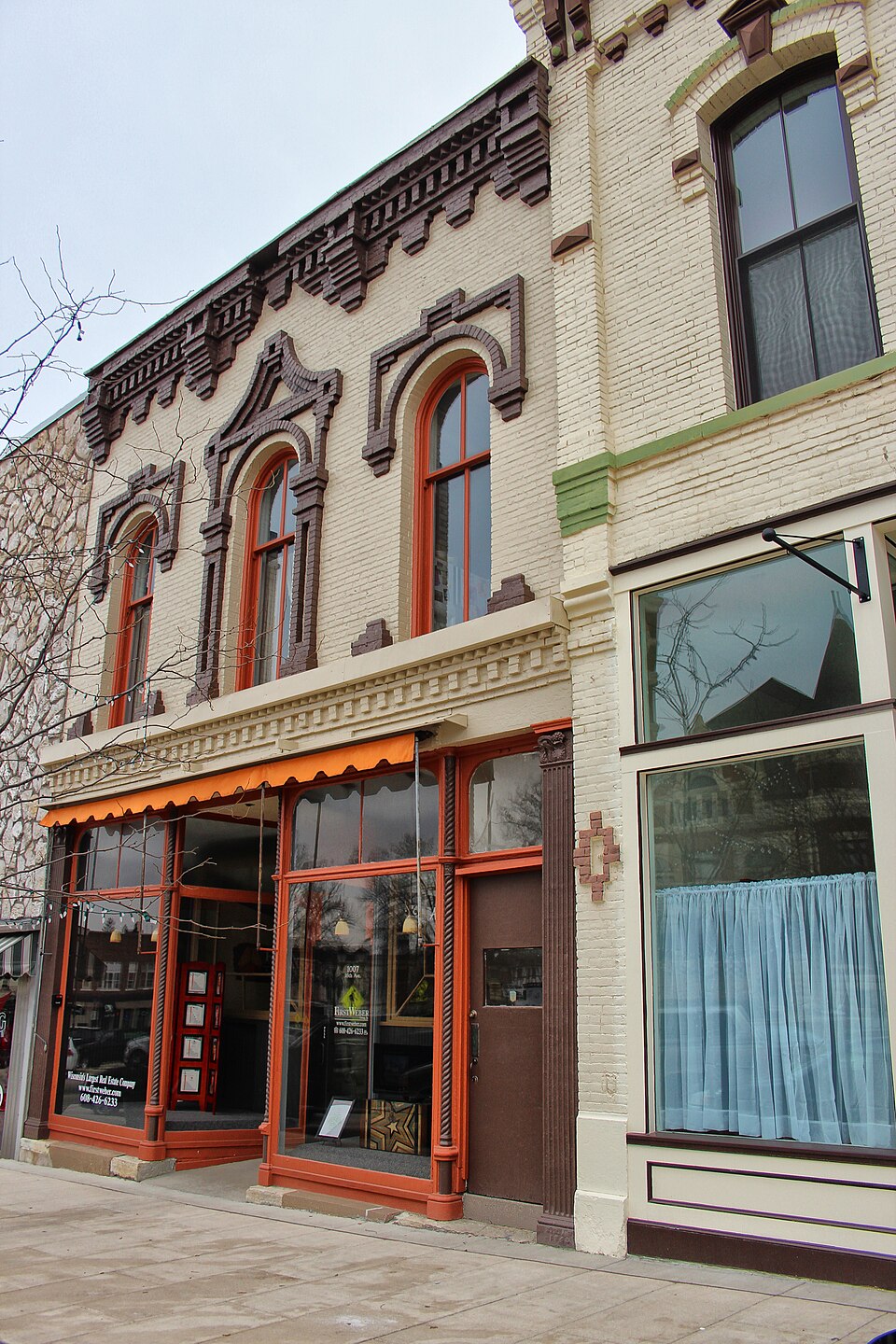
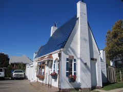
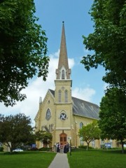
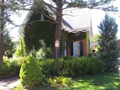
Built in 1869. Listed on the National Register of Historic Places in 1979.
From the record
“The Caradine Building is a historic commercial building at 1007 16th Avenue in Monroe, Wisconsin. Elisha Mosher, a merchant and local politician, had the building constructed in 1869.”
Wikipedia article Caradine Building, CC BY-SA 4.0.
One of 31 National Register listings published here for Green County · listed in 1979 · category: Building · built in 1869.
National Register reference number.79000081- the number the National Park Service assigned this property when it was listed, and the key its nomination file is catalogued under at the National Archives.
The ground it stands on
37,985 words
The chapter on Monroe City in History of Green County, Wisconsin, published 1877 names Monroe. This is what it says, exactly as the scans read.
Monroe has disputed with Exeter the honor of being the first abode of white men in the county. The first comers were miners, John B. Skinner and Thomas Neal. They discovered mineral on the banks of the stream since called Skinner, erected a smelting furnace there, and had been working in the vicinity several years when the Black Hawk war began. The general opinion of the old settlers seems to be that the first discovery of lead on the Skinner was in 1S29; but Mr. Stewart, in his sketch of Green County published by the State Historical Society, says "some of them say it was. in 1827." In 1834, Hiram Rust and Leonard Ross came together from New York state, and built a cabin on what is known as the Pratt farm, east of the village of Monroe. In the spring of 1835 theY broke thirteen acres where the barn is on Wm. Brown's farm. Their claim also included a part of the land now in the county fair ground. In 1S35, Mr- Rust examined the old Skinner mines, which he found deserted. They were on sections three, ten, and thirteen; some of them were seventy feet deep. On section three there were a dozen shafts which were about twenty-eight feet deep, and which Mr. Rust supposes were abandoned for a reason which is readily understood after a moment's consideration of the order in which the rocks of the lead region are arranged. Though the thickness of each layer is variable, the order is invariably as follows : surface, clay and soil; hard, white limestone; shale; gray limestone, the ordinary surface rock of the mines, containing veins of lead, and, in its lower beds, zinc and copper; blue or brown limestone, cutting off the veins; yellowish limestone, in which the veins are renewed; sandstone, containing no veins; lower magnesian limestone. In the shafts referred to, the sandstone was reached after digging about twenty-eight feet. They were undoubtedly abandoned then in obedience to the general belief of that time that no lead could be found below the sandstone. Mr. Rust and Joab Enos sank these shafts three or four feet lower and struck rich veins. They continued to mine here through 1835-6, being joined in the latter year by N. Cornelius, who came from Illinois to Wisconsin some years before; and Mr. Rust thinks they raised more lead than has ever been raised in the county since, in the same length of time.
In 1835, Joseph Paine, having removed from Clarno, began to farm where the village of Monroe is now. About the same time, Jarvis Rattan, an Illinoisan who had been for many years a miner, built the second house in the village, and Julius Austin settled just west of the village - his brother, Elijah Austin, who came with him from Illinois, settling in Clarno. Jacob Andrick came the same year from Ohio, and made a farm in that part of Clarno which is now included in the southern part of the village of Monroe. There were at this time two cabins at the Skinner diggings, occupied by Nicholas Hale and Richard Palmer, and their families. Mr. Hale cultivated a small tract of land which miners, of whom Mr. Hale may have been one, broke before the war. In 1S36, the brothers Robert and Hiram Delapp came from Illinois. The former made a farm where Mr. Cornelius now lives, Mr. Cornelius being farther west, on what is called the Chamness place. Daniel S. Sutherland came in 1S36, from Illinois, to the farm where he still resides. At the land sale in Mineral Point, when a friend bought the farm for Mr. Sutherland, there was quite a strife for it. The price of land, good or bad, was $1.25 an acre, except where more than one person wanted it, in which case it was sold to the highest bidder. The price of Mr. Sutherland's land was run up to $2.50 an acre, by a man who kept a little store at Mineral Point. He did not pay for it that day, and, according to the rule in such cases, the land was offered for sale the next day. Before the hour of the sale a number of Mr. Sutherland's friends gathered in the store, and, by one pretext and another, kept the merchant busy until the farm was bought at the usual price. Land purchases were often attended with excitement, and sometimes with danger. One Monroe farmer, while on the way to Mineral Point to buy eighty acres which joined his farm, learned that one of his acquaintances had started on the same errand two hours before him. At first he was in despair, for he had only the money to pay the government price, and the success of his whole life seemed to him, then, to hinge on his poses sion of the eighty acres. But the bearer of the bad news had these words of comfort : " You will neither of you reach the Point before the office is closed; tomorrow I will lend you all the money you need to bid against him, for you are a farmer and he is a speculator." The farmer arrived at Mineral Point after dark, and went to bed, but not to sleep. The suspense was too great to be endured. A little after midnight he arose, and, with his money and the description of his land in his hand, went to the land office. He felt around in the dark until he found the door, which he pounded with the energy born of a last hope; and when, after a time, a few horrible oaths told him there was some sleepy wight within, he was filled with a wild delight which the sweetest music had never given him before. Then followed a practical exemplification of the text, though he will not rise and give him because he is his friend, yet because of his importunity he will rise and give him. First, the deafened man opened the door, swearing he would not do business in the night; then, swearing still, he took the description and the money. The farmer went to sleep then, but, rising betimes, went again to the office to see the discomfiture of his speculating rival, who had relied so much on his earlier start from Monroe that he stopped for the night eight miles this side of Mineral Point. At another time, two would-be purchasers started together from Monroe. The one who had least money knew a shorter road to Mineral Point than the other knew, but the knowledge was of no advantage for he could not get away from his companion. In vain he stormed and declared that no one who bought the land away from him should ever return to Monroe alive. Greek had met Greek, and the victory was not to be gained by threats. Finally, when the greater part of the road had been traveled over, the involuntary guide turned back, and the other went on and bought the land.
Regional context, not property-specific
evidence. The
federal wildfire occurrence database
lists 13 fires within 5 miles of Caradine Building
between 2009 and 2020, burning about 631 acres in total. None started naturally. 1 was recorded as arson.
Distance is straight-line from the map coordinates, so a fire counted
here may appear on a neighbouring settlement's page as well.
Reported cause
Fires
Debris and open burning
4
Missing data/not specified/undetermined
4
Equipment and vehicle use
3
Arson/incendiarism
1
Power generation/transmission/distribution
1
The most recent of
them, most recent first, with the day each was reported and the service
that recorded it.
Regional context, not property-specific
evidence. The federal mineral resources record lists
11 workings within 5 miles of Caradine Building: 6 unknowns, 3 producers, 2 past producers.
3 still produce. What was taken out: Stone, Stone, Crushed/Broken, Sand and Gravel, Construction, Calcium. Distance is straight-line from the
map coordinates, so a quarry counted here may appear on a neighbouring
settlement's page as well.
Regional context, not property-specific
evidence. The National Weather Service names
Monroe, the town this property stands in, in 56 storm reports between 1994 and 2026: 36 thunderstorm wind, 11 hail, 3 flash flood, 2 heavy rain.
No death or injury is recorded in these reports. Each account below is quoted exactly as the forecast office
filed it, from the NOAA Storm Events Database, and each date
opens the federal record of that event.
This was a heat burst - generated by a decaying convective rain shower band which resulted in evaporation of most of the rain that caused gusty southwest winds and rising temperatures of 10 to 20 degrees F. Large trees were blown down in Albany, and 2 buildings in Monroe were damaged. Additionally, there were scattered reports of broken power poles and power lines. The damage swath was about 5 miles wide.
Dozens of power outages resulted from lightning stikes from the city of Monroe to Brodhead. Either the lines and poles were hit or the transformers were hit.
A lightning strike to a tree killed 8 cows that had gathered under the tree seeking shelter from a thunderstorm. The value of the cows was between $12,000 and $16,000.
Police reported numerous trees and power lines blown down in a 10-mile wide swath. This was a separate thunderstorm cluster from the one that caused the damage near New Glarus.
A National Weather Service employee reported significant street flooding in the city of Monroe with water depths of 2 to 4 feet. Some water damage to basement contents was noted.
A trained spotter reported trees and power lines were blown down by severe thunderstorm wind gusts estimated at 56 knots (64 mph). Heavy rains also caused a rain gutter to back up with water covering State Highway 69 in Monroe.
No historic map-sheet match is published
for this property yet. That does not mean no map exists. This record needs
a coordinate-quality review before it can be joined to a sheet boundary.
Browse the county's mapped places while that work is
pending.
Listed places nearby
6 within 8 miles
Other National Register properties close
enough to walk or drive between, ordered by distance from this one. Both
positions come from the same geocoding pass that matched these properties
to their map sheets.
Listing record. National Park Service National Register of Historic Places, listed-properties dataset, current to 2026-05-22.
Map join. Address geocoded through the United States Census geocoder, then tested against the published boundary of every sheet in the USGS Historical Topographic Map Collection.
How this page is made. Listing fields come from federal records; map-sheet coverage is a labelled coordinate-to-boundary calculation, not a source-field claim.
Wildfire. Short, Karen C. 2022. Spatial wildfire occurrence data for the United States, 1992-2020 [FPA_FOD_20221014]. 6th Edition. Fort Collins, CO: Forest Service Research Data Archive. https://doi.org/10.2737/RDS-2013-0009.6 Collected with United States Government funding and usable without additional permissions or fees.
Mines and quarries. USGS Mineral Resources Data System (MRDS) https://mrdata.usgs.gov/mrds/ A work of the United States government, no copyright under 17 U.S.C. 105.
Storms. NOAA National Centers for Environmental Information, Storm Events Database https://www.ncei.noaa.gov/stormevents/ A work of the United States government, no copyright under 17 U.S.C. 105. Narratives are quoted verbatim from the National Weather Service report and are not edited or summarised.
 Block