 Block
Deadhorse, Alaska
15 topographic sheets cover this place, the earliest surveyed in 1951 and the latest in 1970. It stands in North Slope census subarea. It lies in ZIP code area 99734. The Survey maps it on the Beechey Point A-3 NW quadrangle. 25 people lived here at the last count. It stands 49 feet above sea level.
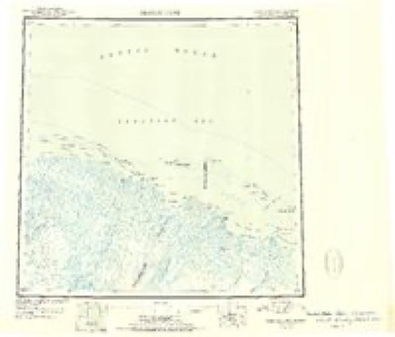
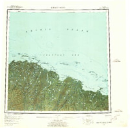
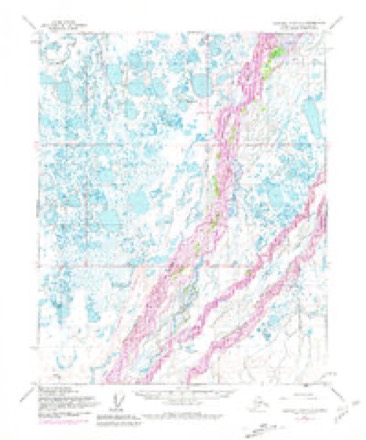
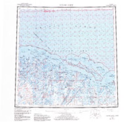
Topographic sheets covering this place
6 surveys from 15 printed sheetsMatched by testing this settlement's coordinate against the published boundary of every sheet in the United States Geological Survey's historical collection. Each opens the scanned sheet at the Survey.
- 1951 USGS Beechey Point quadrangle1:250000
- 1955 USGS Beechey Point quadrangle1:250000, 5 printings
- 1955 USGS Beechey Point A-3 quadrangle1:63360, 3 printings
- 1960 USGS Beechey Point quadrangle1:250000, 3 printings
- 1964 USGS Beechey Point quadrangle1:250000
- 1970 USGS Beechey Point A-3 NW quadrangle1:24000, 2 printings
Storms near this place
3 since 2015Regional context, not property-specific evidence. The National Weather Service names Deadhorse in 3 storm reports between 2015 and 2024: 3 flood. No death or injury is recorded in these reports. Each account below is quoted exactly as the forecast office filed it, from the NOAA Storm Events Database, and each date opens the federal record of that event.
| When | Event | Place named | Harm | What the report says |
|---|---|---|---|---|
| May 2015 | Flood | Deadhorse | $15,500,000 | no account filed |
| June 2024 | Flood | Deadhorse | - | On June 7th at 1500 AKDT, a USGS hydro technician observed an ice jam downstream of Spine road. The Kupurak Roads and Pads Foreman reported that the causeway approaches to bridges were flooded and that water went over the road on Sunday June 9th and rose Sunday night with an estimated 0.5 feet of water on the road. Water levels at the KUPA2 (Kuparuk River near Deadhorse) gage hit minor flood stage of 35.5 feet on Sunday June 9th at 0500 AKDT and rose steadily until early afternoon. There was a steep rise from mid-afternoon through 1900 AKDT to a relatively flat plateau around 36.7 feet. The Kuparuk Roads and Pads Foreman reported water was 0.7 feet deep over the road and that vehicles were being escorted across. On June 11th at 1200 AKDT the sate at KUPA2 was around 36.3 feet. Water levels remained above minor flood stage until late morning on June 12 when recession steepened, and fell below action state by the morning of June 13th. |
| June 2023 | Flood | Deadhorse | - | The main flow of the Sagavanirktok (Sag) River was diverted to the farthest west channel of the river due to aurfeis blocking the channel. The Sag River was pushed up against the Dalton Highway and began to erode the road near Milepost 403.5. On June 7th the road was closed at Milepost 403.5 due to the Sag River eroding the highway to the centerline with the threat of a total washout. This closure shut off the only road access to the oil fields on the North Slope of Alaska. The AK Department of Transportation immediately began hauling rock from a quarry 150 miles away in order to secure the road. The road reopened to one lane traffic on June 8th, although the threat of erosion continued for another week. Runoff from heavy rain and snowmelt in the headwaters of the Sag River reached Milepost 403.5 of the Dalton Highway on June 14th. |
Nearest settlements
The eight closest, with where each one stands in the county. Distances are straight-line, computed from the Geographic Names Information System coordinates.
| Map | Place | Distance | Sheets |
|---|---|---|---|
| Prudhoe Bay | 9.9 miles | 14 | |
| Sagwon | 58.3 miles | 13 | |
| Nuiqsut | 130.6 miles | 11 | |
| Alpine | 131.0 miles | 12 | |
| Umiat | 201.0 miles | 8 | |
| Anaktuvuk Pass | 222.4 miles | 13 | |
| Kokruagarok | 246.6 miles | 8 | |
| Elupak (historical) | 253.2 miles | 12 |
Elsewhere
Matched on this settlement's Geographic Names Information System number rather than its name, so it cannot be a different place of the same name in another state.
| Wikipedia article on Deadhorse | An encyclopaedic summary. Its text is share-alike, so it is linked here rather than copied. |
| Wikidata item Q605671 | The structured record the population and elevation above come from. Public domain (CC0). |
Provenance
This settlement is recorded in the Geographic Names Information System as feature 1866941. The sheet list is computed by point-in-boundary test against the United States Geological Survey's historical topographic inventory. Both are works of the United States government and carry no copyright under 17 U.S.C. 105.
Storms. NOAA National Centers for Environmental Information, Storm Events Database https://www.ncei.noaa.gov/stormevents/ A work of the United States government, no copyright under 17 U.S.C. 105. Narratives are quoted verbatim from the National Weather Service report and are not edited or summarised.