 Block
Manley Hot Springs, Alaska
15 topographic sheets cover this place, the earliest surveyed in 1951 and the latest in 1960. It stands in Koyukuk-Middle Yukon census subarea. It lies in ZIP code area 99756. It stands on Ohio Creek. The Survey maps it on the Tanana A-2 SE quadrangle. 169 people lived here at the 2020 count.
Population over time
2 figuresManley Hot Springs grew from 89 to 169 between 2010 and 2020. These are the recorded population figures Wikidata holds for this place, reached through the Geographic Names Information System number this page is keyed on rather than by name, so they belong to this place and not to another of the same name. Most are census counts, but not all are: an early figure may be a founding or settlement estimate, and an estimate published within five years of a census is left out. The change column is computed, and is left blank where more than 20 years separate a figure from the one before it, because a gap that long is not a change between two counts.
| Year | People | Change |
|---|---|---|
| 2010 | 89 | |
| 2020 | 169 | +80 (+90%) |
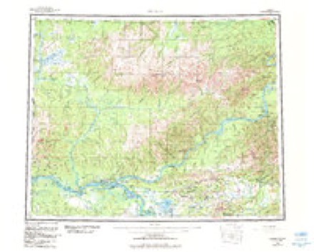
Topographic sheets covering this place
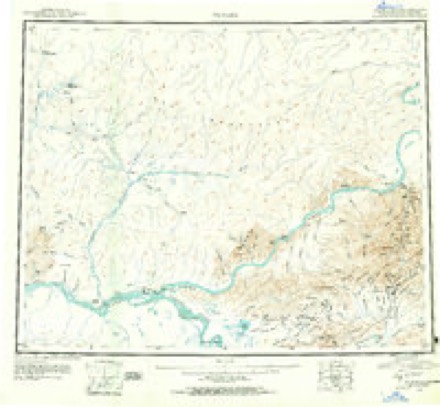
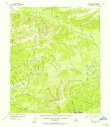
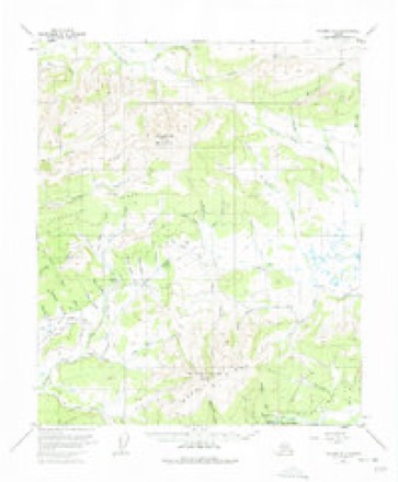
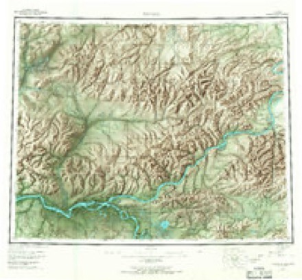
5 surveys from 15 printed sheetsMatched by testing this settlement's coordinate against the published boundary of every sheet in the United States Geological Survey's historical collection. Each opens the scanned sheet at the Survey.
- 1951 USGS Tanana quadrangle1:250000, 3 printings
- 1952 USGS Tanana A-2 quadrangle1:63360
- 1953 USGS Tanana A-2 quadrangle1:63360, 3 printings
- 1956 USGS Tanana quadrangle1:250000, 4 printings
- 1960 USGS Tanana quadrangle1:250000, 4 printings
Mines and quarries near this place
7 within 5 milesRegional context, not property-specific evidence. The federal mineral resources record lists 7 workings within 5 miles of Manley Hot Springs: 4 prospects, 3 occurrences. None of them still produces. What was taken out: Gold, REE, Gold, Silver, Copper, Lead, Cobalt. Distance is straight-line from the map coordinates, so a quarry counted here may appear on a neighbouring settlement's page as well.
| Where | Site | Commodity | Status | Recorded |
|---|---|---|---|---|
| Barrett | Gold, Cobalt, Copper, Lead, Silver | Prospect | 1890 | |
| Barrett Prospect, Hot Springs Dome | Cobalt, Nickel | Occurrence | Chalcopyrite, Erythrite, Galena, Pyrite, Pyrrhotite, Quartz, Siderite | |
| Hot Springs Dome Prospect | Gold, Silver, Copper, Lead, Cobalt, Nickel, REE, Manganese | Occurrence | Chalcopyrite, Gold, Monazite, Silver | |
| Mcintyre | Tin | Prospect | ||
| Karshner Creek | Gold, REE | Prospect | ||
| Karshner Creek Occurrence | REE | Occurrence | Monazite | |
| Sunde Creek | Gold | Prospect |
Storms near this place
4 since 2008Regional context, not property-specific evidence. The National Weather Service names Manley Hot Springs in 4 storm reports between 2008 and 2022: 3 flood, 1 hail. No death or injury is recorded in these reports. Each account below is quoted exactly as the forecast office filed it, from the NOAA Storm Events Database, and each date opens the federal record of that event.
| When | Event | Place named | Harm | What the report says |
|---|---|---|---|---|
| May 2022 | Flood | Manley Hot Springs | $282,000 | Water levels rose to bankfull in Manley Hot Springs the evening of May 6th and by the morning of May 7th major flooding was observed in the community. NWS staff on a Civil Air Patrol reconnaissance flight observed a large ice jam on the Tanana River 12 miles downriver which dammed the river and backed up water into the community. The river crested around 9 am May 8th with a preliminary estimated stage of 19.50 feet, which is 6.0 feet above flood stage. This was the highest water level observed at Manley Hot Springs since the record flood of 1956 (the 1956 flood is estimated approximately 2.5 feet higher). The ice jam held for 36 hrs, releasing on the morning of May 8th and water levels began to recede through the day. Standing water remained in low lying areas of the community through the following week. Impacts to the community included many homes and structures either flooded or surrounded by water, many roads inundated with some parts of town appearing cut off and only accessible by boat, Only 6 of freeboard under the Manley Hot Springs Slough bridge, approximately 500 feet of the Elliot Highway approaching town was inundated with several feet of water, power was shut down in the community as a precaution due to the lines being buried, cellular, phone, and internet networks are down. In addition significant areas of fuel sheen on the water surface due to overturned heating fuel tanks and other sources. |
| April 2012 | Flood | Manley Hot Springs | - | no account filed |
| May 2010 | Hail | Manley Hot Springs | - | no account filed |
| May 2008 | Flood | Manley Hot Springs | - | no account filed |
Nearest settlements
The eight closest, with where each one stands in the county. Distances are straight-line, computed from the Geographic Names Information System coordinates.
| Map | Place | Distance | Sheets |
|---|---|---|---|
| Baker | 9.5 miles | 14 | |
| Tofty | 14.4 miles | 15 | |
| Woodchopper (historical) | 20.2 miles | 14 | |
| Eureka | 25.4 miles | 14 | |
| Tutlut (historical) | 38.6 miles | 21 | |
| Toklat | 40.0 miles | 13 | |
| Cos Jacket | 42.4 miles | 13 | |
| Rampart | 42.6 miles | 14 |
Elsewhere
Matched on this settlement's Geographic Names Information System number rather than its name, so it cannot be a different place of the same name in another state.
| Wikipedia article on Manley Hot Springs | An encyclopaedic summary. Its text is share-alike, so it is linked here rather than copied. |
| Wikidata item Q2738327 | The structured record the population and elevation above come from. Public domain (CC0). |
Provenance
This settlement is recorded in the Geographic Names Information System as feature 1405922. The sheet list is computed by point-in-boundary test against the United States Geological Survey's historical topographic inventory. Both are works of the United States government and carry no copyright under 17 U.S.C. 105.
Mines and quarries. USGS Mineral Resources Data System (MRDS) https://mrdata.usgs.gov/mrds/ A work of the United States government, no copyright under 17 U.S.C. 105.
Storms. NOAA National Centers for Environmental Information, Storm Events Database https://www.ncei.noaa.gov/stormevents/ A work of the United States government, no copyright under 17 U.S.C. 105. Narratives are quoted verbatim from the National Weather Service report and are not edited or summarised.