 Block
Mendenhall Valley, Alaska
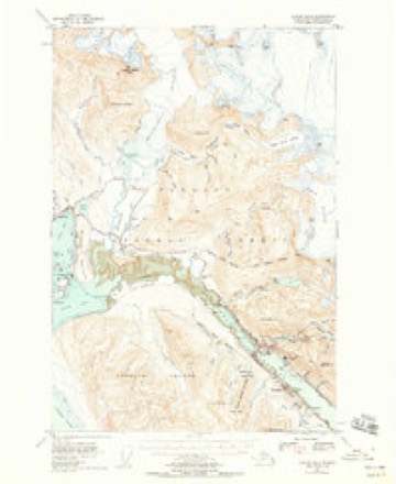
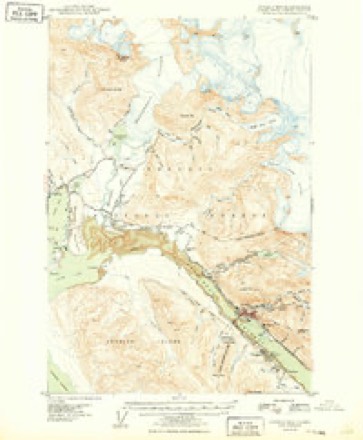
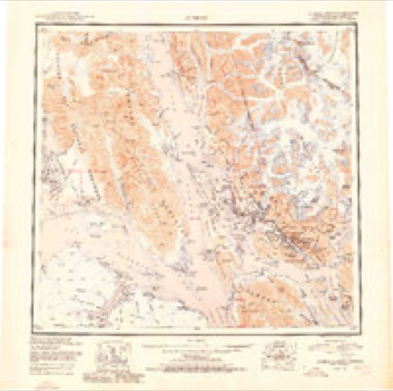
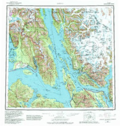
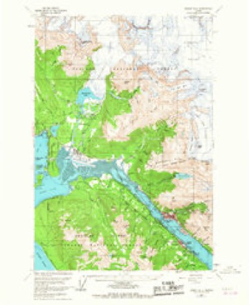
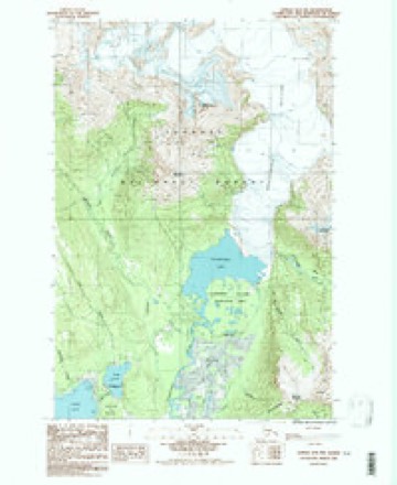
20 topographic sheets cover this place, the earliest surveyed in 1947 and the latest in 1986. It stands in Juneau census subarea. It lies in ZIP code area 99801. It stands on Arastra Creek. The Survey maps it on the Juneau B-2 NW quadrangle.
Topographic sheets covering this place
6 surveys from 20 printed sheetsMatched by testing this settlement's coordinate against the published boundary of every sheet in the United States Geological Survey's historical collection. Each opens the scanned sheet at the Survey.
- 1947 USGS Juneau B-2 quadrangle1:63360, 2 printings
- 1949 USGS Juneau B-2 quadrangle1:62500
- 1951 USGS Juneau quadrangle1:250000, 4 printings
- 1962 USGS Juneau quadrangle1:250000, 7 printings
- 1962 USGS Juneau B-2 quadrangle1:63360, 4 printings
- 1986 USGS Juneau B-2 NW quadrangle1:25000, 2 printings
Fires near this place
51 since 1993Regional context, not property-specific evidence. The federal wildfire occurrence database lists 51 fires within 5 miles of Mendenhall Valley between 1993 and 2020, burning about 14 acres in total. None started naturally. 6 were recorded as arson. Distance is straight-line from the map coordinates, so a fire counted here may appear on a neighbouring settlement's page as well.
| Reported cause | Fires |
|---|---|
| Recreation and ceremony | 19 |
| Missing data/not specified/undetermined | 11 |
| Arson/incendiarism | 6 |
| Debris and open burning | 4 |
| Misuse of fire by a minor | 4 |
| Smoking | 3 |
| Fireworks | 3 |
| Equipment and vehicle use | 1 |
The most recent of them, most recent first, with the day each was reported and the service that recorded it.
| Date | Cause | Size | Reported by | Name on the report |
|---|---|---|---|---|
| 19 September 2014 | Arson/incendiarism | under an acre | Tongass National Forest | BACKLOOP BRIDGE |
| 11 September 2014 | Recreation and ceremony | under an acre | Tongass National Forest | MENDENHALL PENN. |
| 5 August 1993 | Recreation and ceremony | under an acre | Tongass National Forest | not named |
| 22 August 1994 | Recreation and ceremony | under an acre | Tongass National Forest | not named |
| 20 August 1993 | Recreation and ceremony | under an acre | Tongass National Forest | not named |
| 11 August 2019 | Missing data/not specified/undetermined | under an acre | Tongass National Forest | INDIAN POINT |
| 5 July 2019 | Missing data/not specified/undetermined | under an acre | Tongass National Forest | RIVER BEND |
| 5 July 2004 | Fireworks | under an acre | Tongass National Forest | DREDGE |
Settlements close enough to share some of these fires:
Mines and quarries near this place
10 of 41 shownRegional context, not property-specific evidence. The federal mineral resources record lists 41 workings within 5 miles of Mendenhall Valley: 20 past producers, 11 prospects, 9 occurrences, 1 producer. 1 still produces. What was taken out: Gold, Sand and Gravel, Construction, Lead, Copper. Distance is straight-line from the map coordinates, so a quarry counted here may appear on a neighbouring settlement's page as well.
| Where | Site | Commodity | Status | Recorded |
|---|---|---|---|---|
| Lucky Lou | Gold, Zirconium | Prospect | ||
| Treasury Hill | Arsenic, Gold | Prospect | ||
| Clark Prospect | Gold, Copper | Occurrence | Chalcopyrite | |
| Dull and Stephens Prospect | Gold, Lead, Copper | Occurrence | Chalcopyrite, Galena | |
| Fish Creek Quarry | Stone | Past Producer | ||
| Mendenhall Glacier Occurrence | Copper | Occurrence | ||
| Mendenhall Prospect | Gold, Lead | Occurrence | Galena | |
| Mile 7 Quarry | Stone | Past Producer | ||
| Rainbow | Gold, Stone | Occurrence | ||
| Treasury Hill Prospect | Gold, Lead | Occurrence | 1908 |
Storms near this place
4 since 2024Regional context, not property-specific evidence. The National Weather Service names Mendenhall Valley in 4 storm reports between 2024 and 2025: 3 flood, 1 debris flow. No death or injury is recorded in these reports. Each account below is quoted exactly as the forecast office filed it, from the NOAA Storm Events Database, and each date opens the federal record of that event.
| When | Event | Place named | Harm | What the report says |
|---|---|---|---|---|
| August 2024 | Flood | Mendenhall Valley | $6,660,000 | The level of Mendenhall Lake was slightly below normal levels of 5.0 feet before this event started in the early morning hours of Sunday August 4th. Twenty four hours into the flooding event, by noon on Monday, water levels had risen 5 feet and were over the moderate flood stage of 10 feet. By this time, areas near Skaters Cabin Rd and the Mendenhall Glacier Visitor Center were experiencing moderate flooding impacts with the USFS Mendenhall Lake Campground being evacuated. As water levels continued to rise, homes along View Drive were cut off with flood waters from 1 to 3 feet deep. Areas below the Mendenhall Back Loop Road bridge started to see flooding of yards between 12 and 13 feet but other locations that saw flooding during last years major event when the river level was near 13 to 13.5 feet did not see flooding at that level due to storm sewer one way values the City and Bough of Juneau installed prior to this event. Also the bank stabilization and armoring that residents installed on the right and left side of the river below the Mendenhall Back Loop Road bridge after last years event remained in tact and protected those residences from flooding/erosion impacts. ||From Monday morning to the crest early Tuesday morning, the rate of rise on the river was around 0.4 FT per hour. The rate of rise was faster this year than last year, which could be due to a more efficient subglacial conduit drainage system, primed by a previous atmospheric river. The river continued to rise on this fast pace through the Monday evening hours and reached major flood stage of 14 feet at 2015AKST, when most of the flooding of homes and roads below the Mendenhall Back Loop bridge started to take place. By 2245AKST on August 5th the Mendenhall River went over the previous record stage set last year of 14.97 feet. The river would rise for another 3 and a half hours and crested at a new record crest of 15.99 feet (preliminary crest from the USGS) at 0315AKST on August 6th. The Mendenhall Lake and River were back below minor flood stage of 9.0 feet by noon on Tuesday, August 6th. The river system was above flood stage for 28 hours.||Through an extensive storm survey, it was determined that water came over the banks of the Mendenhall River along Marion Dr, Riverside Dr, Killewich Rd and Meander Way and produced major flooding to homes west of Riverside Drive and made roads impassable during the peak of the event. The local electric company cut power to those residences due to the flood waters. The amount of water that flowed over Killewich Drive was much higher than last year, causing water to move like a strong river down Riverside Drive and Killewich Dr into Emily Way, Sharon Street, Gee Street, Long Run, and Northland St - areas that had not seen such flooding before. Residents in those areas saw water not just coming from the river to the west, but also from the north, as water made its way through the community from the breach at Killewich Dr. These flood waters produced major impacts, with 1 to 4 FT of water in homes, causing significant damage. There were some areas that reported as much as 6 feet of water in their homes. As the floodwaters moved through homes west of Riverside Drive, the water flowed down Rivercourt Way and returned to the Mendenhall River. After the Mendenhall River breached the banks around Marion Drive, Riverside Drive, Killewich Drive, and Meander Way, water entered the storm sewer drains but could not flow into the Mendenhall River due to the high velocity and pressure from the flood flow. This caused water pressure to build up in the storm sewer system, leading to flooding in areas around the Mendenhall Valley Library and other nearby locations as water emerged from manhole covers. This also occurred near the back of the Safeway by the Mendenhall River at Brotherhood Bridge.||There were changes to the sections of the river above the Back Loop Bridge along View Drive after last years record event which was able to hold more water within its banks. This area did not see moderate flooding impacts until the Mendenhall Lake gauge read above 11.5 feet. This was due to large amounts of river scouring from last year's event. Even through there was major flooding along View Dr, the events high water marks along the south side of View Drive were about 6 inches lower than last year (which saved one house from flood damage). Meanwhile, residents on the north side of View Drive experienced more water flowing across their property, causing increased road and home damage with reports of 4 to 7 feet of water in homes and other erosion issues. ||In the end, there were about 300 homes majorly affected from this significant flood. This was another historic event as it was the second year in a row there was major flooding impacts to an area that historically has not seen any flooding. The area affected this year expanded from last year due and increase of water released from Suicide Basin in a single event. This year, there was approximately 16 billion gallons of water that came out of the basin and into the Mendenhall Lake and River system which was 2 billion more than last year. |
| August 2025 | Flood | Mendenhall Valley | $5,890,000 | The level of Mendenhall Lake was already above the minor flood stage of 9 feet due to an atmospheric river and heavy rain in the days leading up to the event when the outburst flood started on the morning of Tuesday August 12th. By 1200 AKST the water levels had risen 1 foot to be over the moderate flood stage of 10 feet. By this time, areas near Skaters Cabin Rd and the Mendenhall Glacier Visitor Center were experiencing moderate flooding impacts with the USFS Mendenhall Lake Campground being evacuated. As water levels continued to rise, homes along View Drive were cut off with flood waters from 1 to 3 feet deep. The rate of rise continued to increase through the evening hours with Mendenhall Lake going over the major flood stage of 14 feet at 2325 AKST. The rate of rise was higher than last year and the highest observed with an over 3000 CFS increase per hour. For context, the average flow for this time of year for the Mendenhall Lake is around 3500 CFS. The river continued to rise and went over the previous flood stage record of 16 feet around 0420 AKST on August 13th and crested at a new record of 16.65 feet (preliminary crest from the USGS) at 0615 AKST (1515 UTC). The Mendenhall Lake gauge was back below minor flood stage of 9.0 feet at 1440 AKST on Wednesday August 13th. The river system was above flood stage for approximately 38 hours.||According to the City and Borough of Juneau (CBJ), this major flooding event produced significant impacts upstream of the Back Loop Road Bridge, along with minor impacts downstream along the Mendenhall River. These impacts below back loop bridge are different from last years impacts and not as severe due to flood protection. Based on FEMA damage definitions, CBJ identified 35 homes as affected, including 11 with minor damage and 6 with major damage. The most severe flooding occurred in the View Drive area, where CBJ reported 5 homes sustained major damage after 45 FT of water entered living spaces. Additional homes along Meander Way (15 total) were also impacted, including 2 with minor damage and 1 with major damage caused by water seeping under or through HESCO barriers (flood protection measures). Homes near River Road were also affected, and storm drains near the Safeway parking lot at Brotherhood Bridge backed up, contributing to localized flooding. CBJ also documented severe erosion along the left bank (river left) near the Back Loop Road Bridge at the event peak. This erosion damaged the bridge approach, which was already closed, causing part of the sidewalk to fall into the river and severed telecommunication and power lines. The loss of a utility pole into the river cut power and internet connectivity to nearby homes and businesses. |
| September 2025 | Debris Flow | Mendenhall Valley | $2,000 | The City & Borough of Juneau Parks and Recreation teams closed the Auke Lake Trail on Saturday after two landslides were observed. The first landslide was reported via social media at approximately 130pm AKDT on the 20th between the two docks at Auke Lake. The second reported landslide via social media occurred at approximately 235pm AKDT. Rainfall amounts in the 12 hours leading up to the slides were 1-2 inches in vicinity of Auke Bay. Jordan Creek and Montana Creek areas also saw minor flooding during this time. The trail along the lake remained closed for the next two months. |
| October 2024 | Flood | Mendenhall Valley | - | The Mendenhall Lake Gauge rose above the moderate flood stage of 10 feet at 715pm AKST on Sunday October 20th, crested at 10.8 feet at 1130pm, and fell below moderate flood stage at 1am AKDT on the 21st. There were reports of trees and debris floating down the river and water into some yards on View Drive. Skaters Cabin Road was closed and impassable along with some damage to the USFS Mendenhall Campground. |
Nearest settlements
The eight closest, with where each one stands in the county. Distances are straight-line, computed from the Geographic Names Information System coordinates.
| Map | Place | Distance | Sheets |
|---|---|---|---|
| Mendenhaven | 0.0 miles | 20 | |
| Lemon Creek | 4.3 miles | 20 | |
| Fish Creek (historical) | 4.4 miles | 20 | |
| Auke Bay | 5.0 miles | 20 | |
| Vanderbilt Hill | 5.1 miles | 20 | |
| Fairhaven | 7.3 miles | 18 | |
| Auke (historical) | 8.5 miles | 19 | |
| New Boston (historical) | 8.8 miles | 20 |
Elsewhere
Matched on this settlement's Geographic Names Information System number rather than its name, so it cannot be a different place of the same name in another state.
| Wikipedia article on Mendenhall Valley | An encyclopaedic summary. Its text is share-alike, so it is linked here rather than copied. |
| Wikidata item Q6816603 | The structured record the population and elevation above come from. Public domain (CC0). |
Provenance
This settlement is recorded in the Geographic Names Information System as feature 1415962. The sheet list is computed by point-in-boundary test against the United States Geological Survey's historical topographic inventory. Both are works of the United States government and carry no copyright under 17 U.S.C. 105.
Wildfire. Short, Karen C. 2022. Spatial wildfire occurrence data for the United States, 1992-2020 [FPA_FOD_20221014]. 6th Edition. Fort Collins, CO: Forest Service Research Data Archive. https://doi.org/10.2737/RDS-2013-0009.6 Collected with United States Government funding and usable without additional permissions or fees.
Mines and quarries. USGS Mineral Resources Data System (MRDS) https://mrdata.usgs.gov/mrds/ A work of the United States government, no copyright under 17 U.S.C. 105.
Storms. NOAA National Centers for Environmental Information, Storm Events Database https://www.ncei.noaa.gov/stormevents/ A work of the United States government, no copyright under 17 U.S.C. 105. Narratives are quoted verbatim from the National Weather Service report and are not edited or summarised.