 Block
Soldotna, Alaska
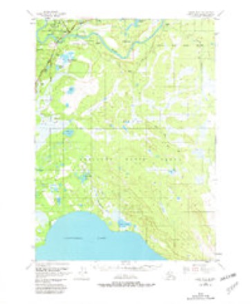
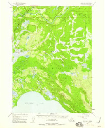
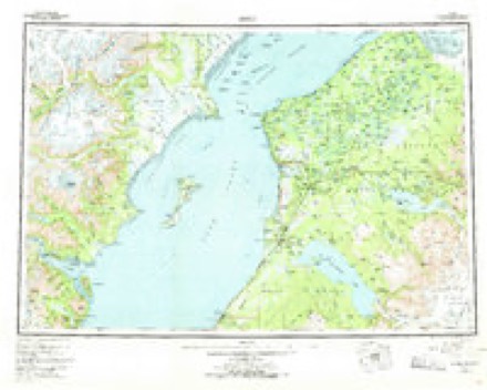
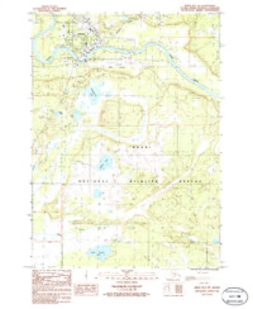
18 topographic sheets cover this place, the earliest surveyed in 1944 and the latest in 1986. It stands in Kenai-Cook Inlet census subarea. It lies in ZIP code area 99669. It stands on Soldotna Creek. The Survey maps it on the Kenai B-3 NW quadrangle. 4,342 people lived here at the 2020 count. It stands 105 feet above sea level.
Research this city
On record in Soldotna
Buildings and businesses the archive holds for this place. Each opens its own page, with the source record it came from.
On the National Register 2 records
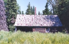 Andrew Berg Cabinlisted 2000
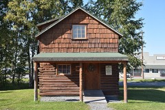 Soldotna Post Officelisted 2008
Population over time
3 figuresSoldotna grew from 332 to 4,342 between 1960 and 2020. These are the recorded population figures Wikidata holds for this place, reached through the Geographic Names Information System number this page is keyed on rather than by name, so they belong to this place and not to another of the same name. Most are census counts, but not all are: an early figure may be a founding or settlement estimate, and an estimate published within five years of a census is left out. The change column is computed, and is left blank where more than 20 years separate a figure from the one before it, because a gap that long is not a change between two counts.
| Year | People | Change |
|---|---|---|
| 1960 | 332 | |
| 2010 | 4,163 | |
| 2020 | 4,342 | +179 (+4%) |
Topographic sheets covering this place
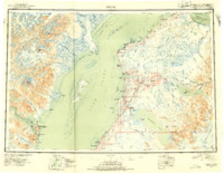
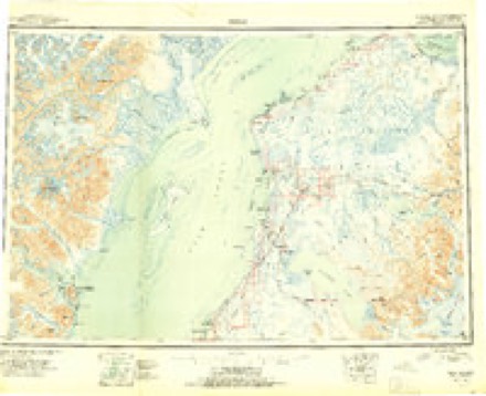
6 surveys from 18 printed sheetsMatched by testing this settlement's coordinate against the published boundary of every sheet in the United States Geological Survey's historical collection. Each opens the scanned sheet at the Survey.
- 1944 USGS Kenai quadrangle1:250000, 4 printings
- 1950 USGS Kenai quadrangle1:250000, 2 printings
- 1950 USGS Kenai B-3 quadrangle1:63360, 2 printings
- 1952 USGS Kenai B-3 quadrangle1:63360, 3 printings
- 1958 USGS Kenai quadrangle1:250000, 6 printings
- 1986 USGS Kenai B-3 NW quadrangle1:25000
Fires near this place
263 since 1992Regional context, not property-specific evidence. The federal wildfire occurrence database lists 263 fires within 5 miles of Soldotna between 1992 and 2020, burning about 196,782 acres in total. None started naturally. 4 were recorded as arson. Distance is straight-line from the map coordinates, so a fire counted here may appear on a neighbouring settlement's page as well.
| Reported cause | Fires |
|---|---|
| Missing data/not specified/undetermined | 96 |
| Debris and open burning | 71 |
| Misuse of fire by a minor | 34 |
| Power generation/transmission/distribution | 17 |
| Recreation and ceremony | 16 |
| Smoking | 8 |
| Equipment and vehicle use | 8 |
| Other causes | 5 |
| Arson/incendiarism | 4 |
| Fireworks | 3 |
| Firearms and explosives use | 1 |
The most recent of them, most recent first, with the day each was reported and the service that recorded it.
| Date | Cause | Size | Reported by | Name on the report |
|---|---|---|---|---|
| 3 September 1994 | Smoking | under an acre | Kenai-Kodiak Area | MOOSEMEAT |
| 17 September 2000 | Misuse of fire by a minor | under an acre | Kenai-Kodiak Area | GASWELL |
| 15 September 1992 | Power generation/transmission/distribution | under an acre | Kenai-Kodiak Area | DOC ISSAC |
| 15 September 1992 | Power generation/transmission/distribution | under an acre | Kenai-Kodiak Area | HARVARD |
| 15 September 1992 | Power generation/transmission/distribution | under an acre | Kenai-Kodiak Area | BOUNDARY |
| 15 September 1992 | Power generation/transmission/distribution | under an acre | Kenai-Kodiak Area | SHIRLEY LANE |
| 15 September 1992 | Power generation/transmission/distribution | under an acre | Kenai-Kodiak Area | MEEKES FOOD |
| 12 September 2013 | Recreation and ceremony | under an acre | Kenai-Kodiak Area | ARC LAKE |
Settlements close enough to share some of these fires:
Mines and quarries near this place
9 within 5 milesRegional context, not property-specific evidence. The federal mineral resources record lists 9 workings within 5 miles of Soldotna: 7 past producers, 2 producers. 2 still produce. What was taken out: Sand and Gravel, Construction. Distance is straight-line from the map coordinates, so a quarry counted here may appear on a neighbouring settlement's page as well.
| Where | Site | Commodity | Status | Recorded |
|---|---|---|---|---|
| Airport Pit | Sand and Gravel, Construction | Past Producer | ||
| Breeden Pit | Sand and Gravel, Construction | Producer | ||
| Central Sand & Gravel Pit | Sand and Gravel, Construction | Past Producer | ||
| Davis Block Pit & Plant | Sand and Gravel, Construction | Past Producer | ||
| Douglas Norris Pit | Sand and Gravel, Construction | Producer | ||
| Mcwilliams Pit | Sand and Gravel, Construction | Past Producer | ||
| Oteco Pit & Mill | Sand and Gravel, Construction | Past Producer | ||
| Soldotna Creek Pit | Sand and Gravel, Construction | Past Producer | ||
| Soldotna Sand and Gravel | Sand and Gravel, Construction | Past Producer |
Storms near this place
18 since 2005Regional context, not property-specific evidence. The National Weather Service names Soldotna in 18 storm reports between 2005 and 2024: 13 flood, 5 hail. No death or injury is recorded in these reports. Each account below is quoted exactly as the forecast office filed it, from the NOAA Storm Events Database, and each date opens the federal record of that event.
| When | Event | Place named | Harm | What the report says |
|---|---|---|---|---|
| September 2017 | Flood | Soldotna | $5,000,000 | Flooding in many yards and at least one cabin along Snug Harbor Road. The lake edge is normally about another 30 feet off the deck. NWS survey crews found flooded boat launches at both Cooper Landing Boat Launch and Quartz Creek Campground Boat Launch. The public also reported flooding of various parking lots around the Cooper Landing area via Social Media. |
| February 2007 | Flood | Soldotna | $1,600,000 | no account filed |
| January 2007 | Flood | Soldotna | $1,600,000 | no account filed |
| September 2012 | Flood | Soldotna | $1,380,000 | The Kenai River at Skilak crested at 15.56ft on 9/26/12 at 15:15 AKDT; the Kenai River at Soldotna crested at 12.53ft on 9/26/12 at 13:15 AKDT. |
| August 2019 | Flood | Soldotna | $350,000 | Aerial monitoring of the Snow Glacier Dammed Lake, combined with a rise in the water level on the river gauge indicated the lake had released. The forecast river stage was based on the estimated amount of water in the lake. Primrose Campground and Cooper Lake Campground were flooded, closing the campgrounds. The Alaska Railroad experienced high levels of erosion along the route due to shifting of the river channel, in addition to the high volume of water. The railroad had to close the route for a week during peak tourist season. |
| October 2018 | Flood | Soldotna | $300,000 | Two heavy waves of precipitation between October 12th and 16th each dropped roughly 6 of rain on the precipitation gage at the headwaters of the Resurrection River, and 6.86 of precipitation at the Seward airport during the second event. The Resurrection River reached moderate flood stage on Oct 13th and again on the 16th. Numerous creeks in the Seward area went overbank; closing and washing out roads to critical infrastructure. The airport runway flooded, and there were mud and rock slides throughout the area. |
| January 2020 | Flood | Soldotna | $50,000 | Big Eddy Ice Jam on the Kenai River on January 9th, an ice jam formed on the Kenai River at Big Eddy, sending water over roads and into residences in the area. Flooding was mostly on the Riverside Drive/Eddy Lane subdivision. Water levels stabilized after the ice jam. After the overbank water froze, the borough graded the road to allow resident access. No changes are expected until breakup. |
| August 2024 | Flood | Soldotna | - | Heavy rain caused widespread lowland flooding and large amounts of riverine erosion across Seward, AK and the surrounding areas. Several streams in the region were moving large amounts of sediment and Seward officials were in an ongoing flood flight to keep area culverts clear of debris to mitigate more severe flooding. Flooding along Japanese Creek flooded Dieckgraeff Road after a berm washed out flooding the area. |
| September 2023 | Flood | Soldotna | - | Observations of Snow Glacier indicated that a Glacial Dammed Lake (GDL) released on or around the 9/7/23 to 9/8/23. The Snow and Kenai Rivers rose rapidly in response, routing flood waters through the system from the GDL. The Snow River reached action stage, however as the flood propagated downstream it combined with high river baseflows to crest in minor flood at 13.48 feet at 3:15pm AKDT on 9/10/23 at the Cooper Landing river gauge. |
| September 2023 | Flood | Soldotna | - | Skilak Glacier Dammed Lake released, combining with flow coming through Skilak Lake, impacting the region below Skilak Lake and Soldotna. Widespread flooding was reported at Kenai Keys and along the Kenai River, especially below Skilak Lake where flood levels reached moderate severity. Verification was made using inundation maps matched with ground truth photos, emergency manager reports and social media. |
| August 2022 | Flood | Soldotna | - | River gage on the Kenai River remained in action stage for over a week due to the persistent rainfall from day to day. Low lying areas of a campground nearby reported higher than usual water levels during the timeframe of the 18th-27th but only minor flooding reported. |
| September 2022 | Flood | Soldotna | - | Snow Glacial Dam releases caused minor flooding along the Snow and Kenai Rivers from near Seward to Skilak Lake. Water levels reached minor flood levels with reports of high water closing down boat access, reaching into yards, and encroaching on garages along the rivers. |
| August 2009 | Flood | Soldotna | - | Reconnaissance of the Skilak Lake by the Kenai Peninsula Borough revealed the glacial dam release. |
| June 2007 | Hail | Soldotna | - | no account filed |
| July 2005 | Hail | Soldotna | - | no account filed |
| July 2005 | Hail | Soldotna | - | no account filed |
| July 2005 | Hail | Soldotna | - | no account filed |
| July 2005 | Hail | Soldotna | - | no account filed |
Nearest settlements
The eight closest, with where each one stands in the county. Distances are straight-line, computed from the Geographic Names Information System coordinates.
| Map | Place | Distance | Sheets |
|---|---|---|---|
| Ridgeway | 3.4 miles | 20 | |
| Shlakaq' (historical) | 4.1 miles | 18 | |
| Kenai | 11.6 miles | 19 | |
| Chinila (historical) | 11.6 miles | 19 | |
| Skittok (historical) | 11.8 miles | 19 | |
| Kalifornsky | 13.2 miles | 18 | |
| Kasilof | 15.5 miles | 18 | |
| Cohoe | 15.5 miles | 18 |
Elsewhere
Matched on this settlement's Geographic Names Information System number rather than its name, so it cannot be a different place of the same name in another state.
| Wikipedia article on Soldotna | An encyclopaedic summary. Its text is share-alike, so it is linked here rather than copied. |
| Wikidata item Q79393 | The structured record the population and elevation above come from. Public domain (CC0). |
Provenance
This settlement is recorded in the Geographic Names Information System as feature 1414025. The sheet list is computed by point-in-boundary test against the United States Geological Survey's historical topographic inventory. Both are works of the United States government and carry no copyright under 17 U.S.C. 105.
Wildfire. Short, Karen C. 2022. Spatial wildfire occurrence data for the United States, 1992-2020 [FPA_FOD_20221014]. 6th Edition. Fort Collins, CO: Forest Service Research Data Archive. https://doi.org/10.2737/RDS-2013-0009.6 Collected with United States Government funding and usable without additional permissions or fees.
Mines and quarries. USGS Mineral Resources Data System (MRDS) https://mrdata.usgs.gov/mrds/ A work of the United States government, no copyright under 17 U.S.C. 105.
Storms. NOAA National Centers for Environmental Information, Storm Events Database https://www.ncei.noaa.gov/stormevents/ A work of the United States government, no copyright under 17 U.S.C. 105. Narratives are quoted verbatim from the National Weather Service report and are not edited or summarised.