 Block
From the record
20 National Register listings published here, 1 of them a National Historic Landmark.
Sources: the National Register database, National Park Service
42 topographic sheets and 14 fire insurance atlases across 2 places.
20 National Register listings published here, 1 of them a National Historic Landmark.
Sources: the National Register database, National Park Service
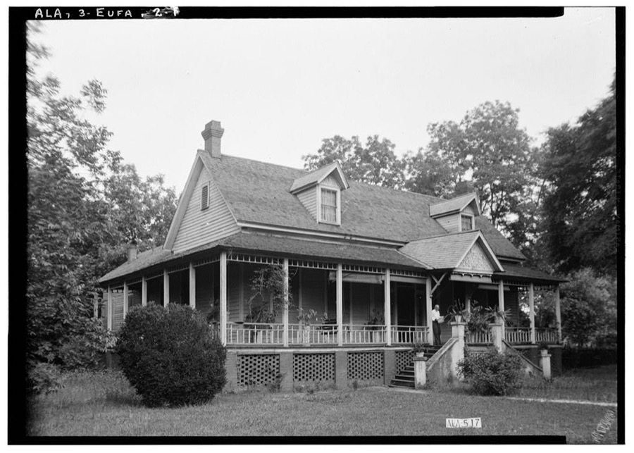
Taken for the Office of War Information and the Farm Security Administration, who photographed the country between 1935 and 1944. Works of United States government photographers, with no known restriction on use. Each opens its catalogue record.
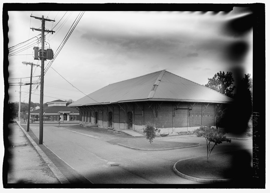
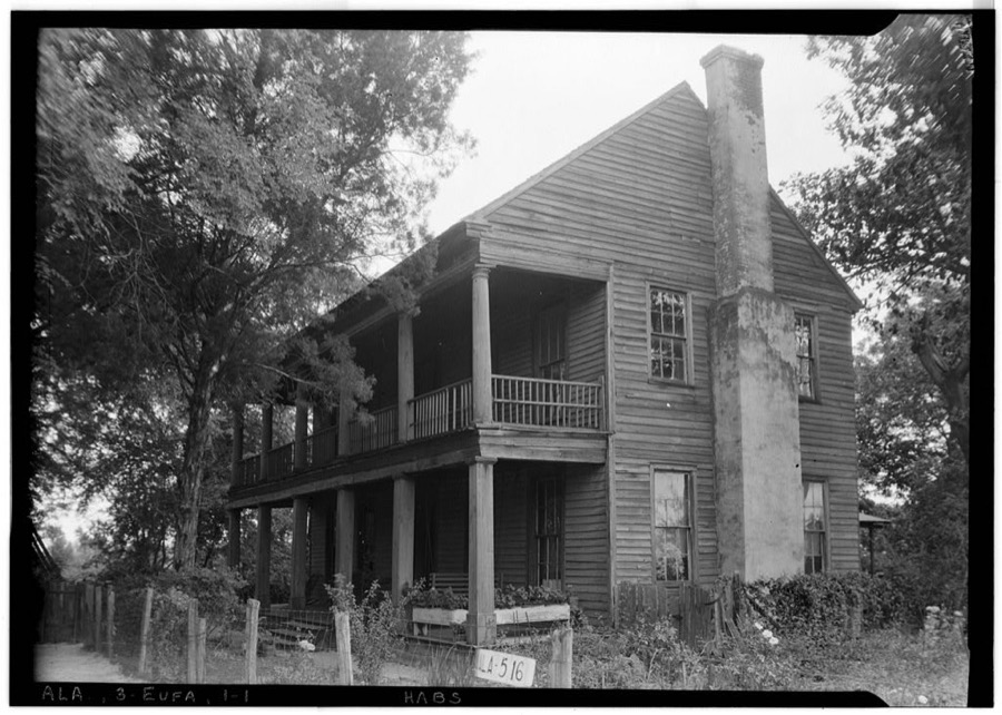
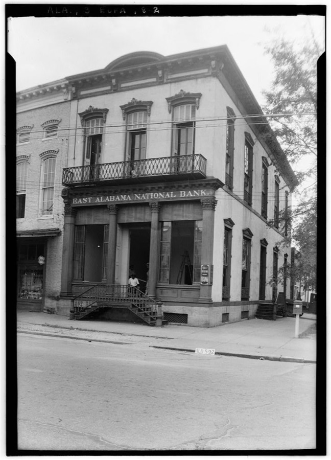
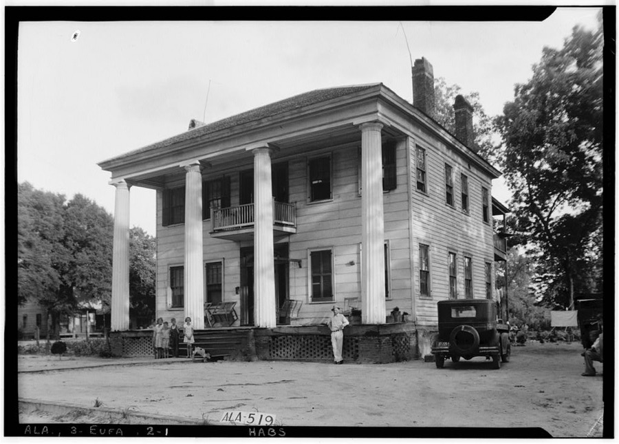
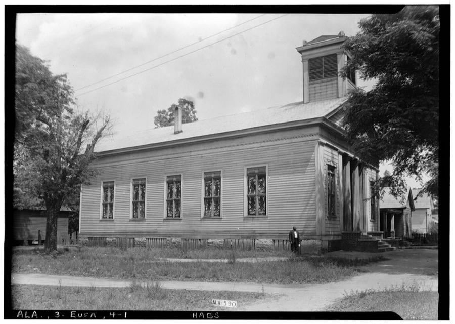
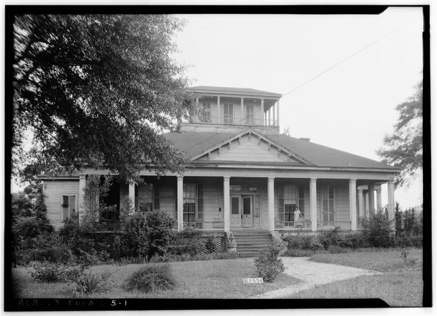
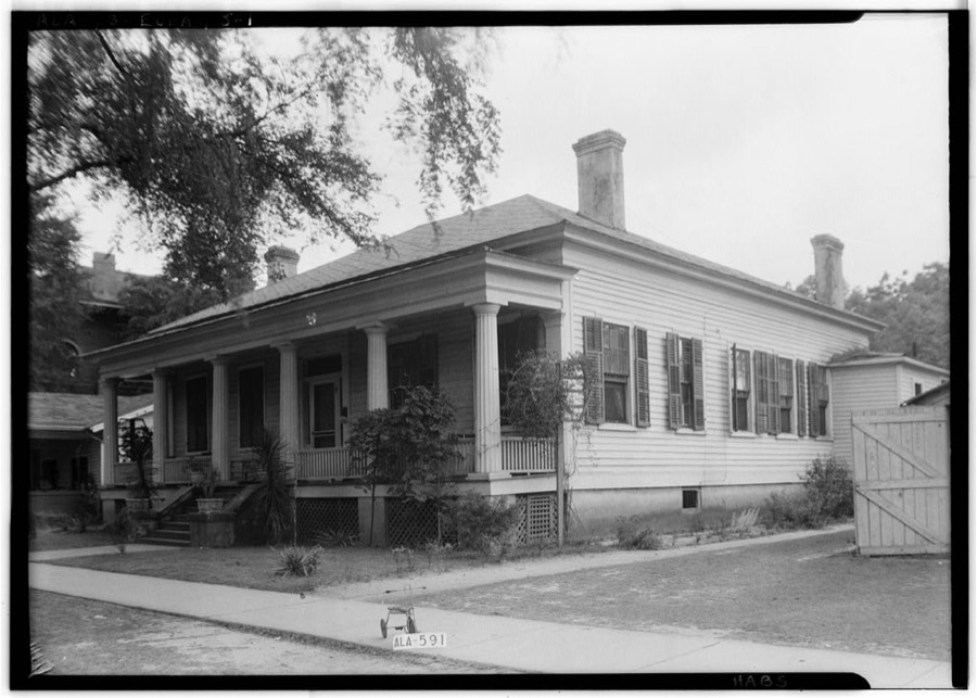
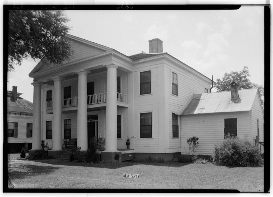
Every property in this county listed on the National Register of Historic Places, with the year it was listed and the federal nomination document.
| Photograph | Property | Type | Listed | Reference |
|---|---|---|---|---|
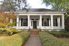 | Bray-Barron House | building | 1971 | 71000093 |
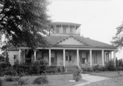 | Cato House | building | 1971 | 71000094 |
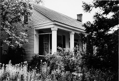 | Henry D. Clayton House | building | 1976 | 76002259 |
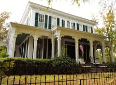 | Drewry-Mitchell-Moorer House | building | 1972 | 72000154 |
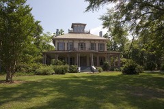 | Fendall Hall | building | 1970 | 70000097 |
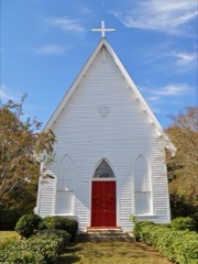 | Grace Episcopal Church | building | 1995 | 95001116 |
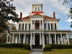 | Kendall Manor | building | 1972 | 72000155 |
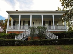 | Kiels-McNab House | building | 1982 | 82001996 |
| Lore Historic District | district | 1973 | 73000330 | |
| Lore, Seth and Irwinton Historic District (Boundary Increase) | district | 1986 | 86001534 | |
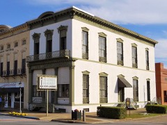 | McNab Bank Building | building | 1971 | 71000095 |
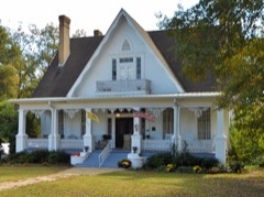 | Miller-Martin Town House | building | 1974 | 74000399 |
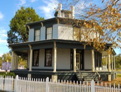 | Petty-Roberts-Beatty House | building | 1974 | 74000400 |
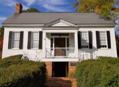 | Sheppard Cottage | building | 1971 | 71000096 |
 | Shorter Mansion | building | 1972 | 72000156 |
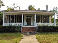 | Gov. Chauncy Sparks House | building | 1972 | 72000157 |
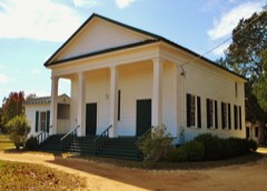 | Spring Hill Methodist Church | building | 1996 | 96000110 |
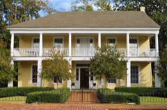 | Tavern, The | building | 1970 | 70000098 |
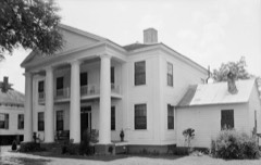 | Wellborn | building | 1971 | 71000097 |
| Woodlane Plantation | building | 2006 | 06000183 |
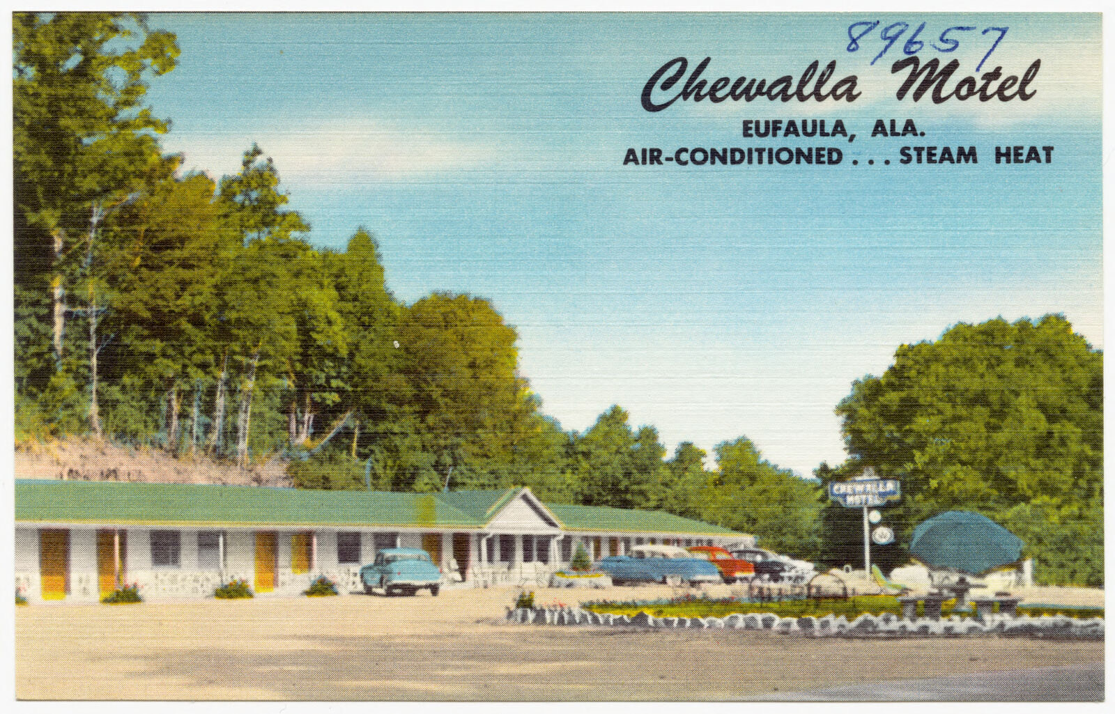
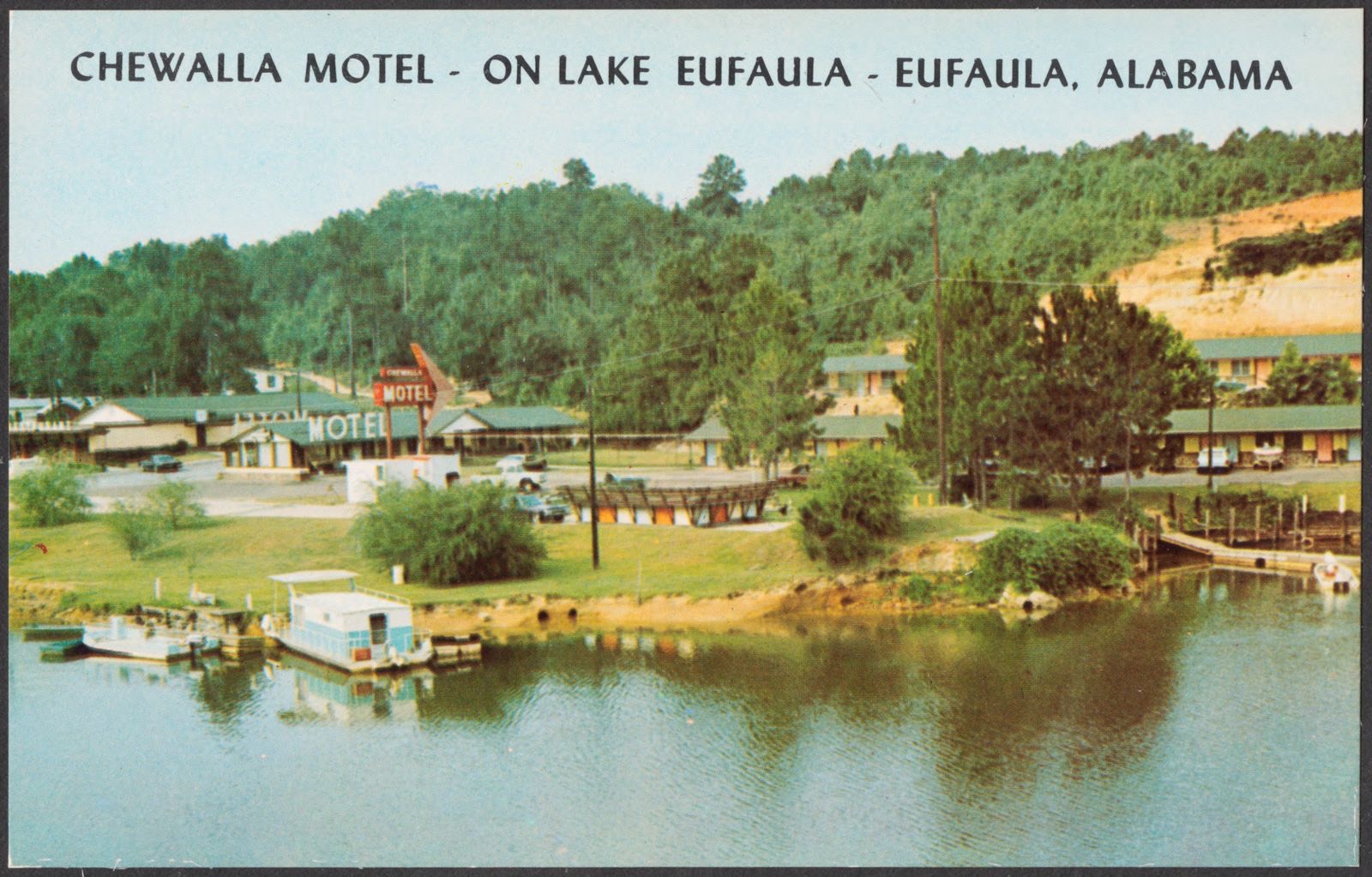
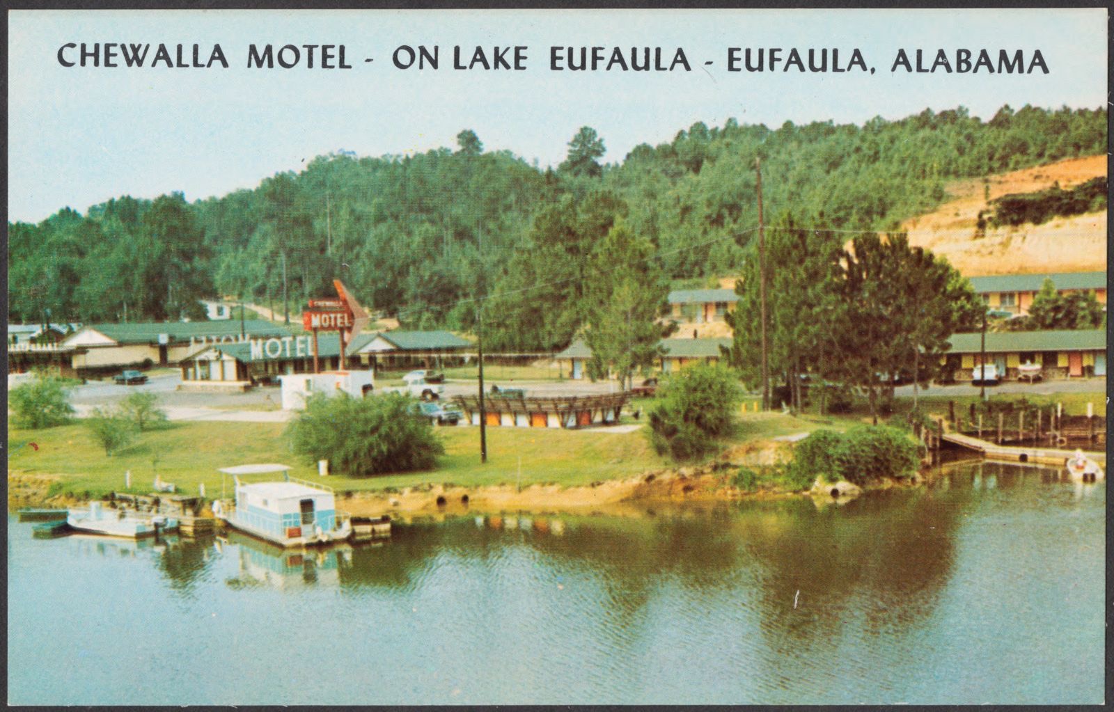
Selected from the Digital Public Library of America's 5 image records catalogued for this county. Every one shown here carries a public-domain status or a licence that permits reuse on a site that carries advertising; non-commercial, share-alike and restricted images are excluded. The selection is spread across the county's towns (at most eight per town), so no single institution's bulk upload crowds out the rest. Each opens the holding library's record, and the complete set at the Digital Public Library of America is one click away.
Flown by the U.S. Geological Survey between 1937 and 1989, the Aerial Photo Single Frames collection is the definitive mid-century view of the land: fields, roads and rivers as the camera saw them. The Survey holds 1,229 frames inside the rectangle that bounds this county; the 20 frames below were taken over the county itself, chosen across the decades of flights (at most four a year from that rectangle), so one flight cannot crowd out the rest. The full set is free to browse and download at EarthExplorer under the dataset Aerial Photo Single Frames.
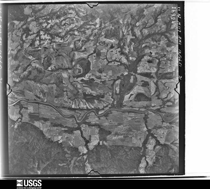
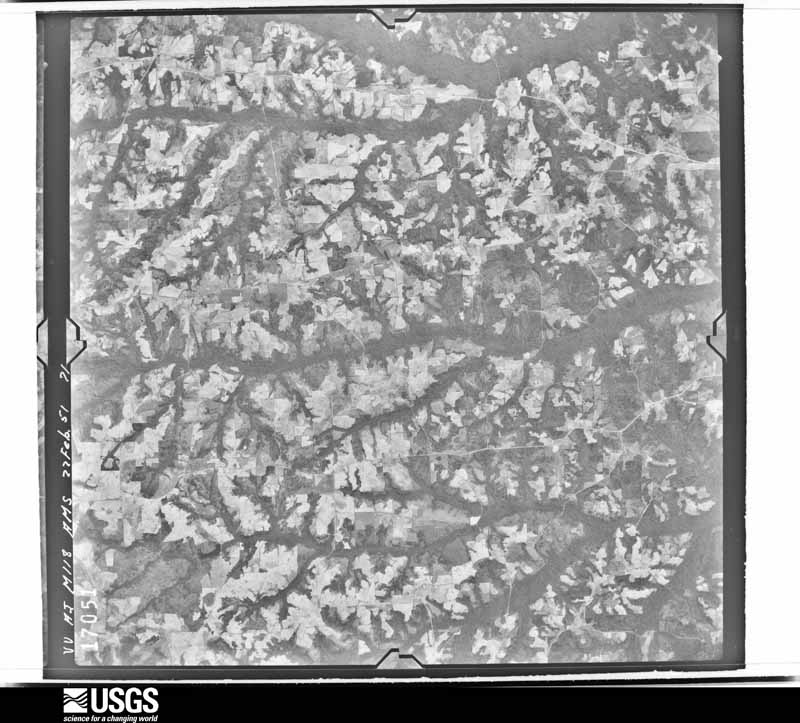
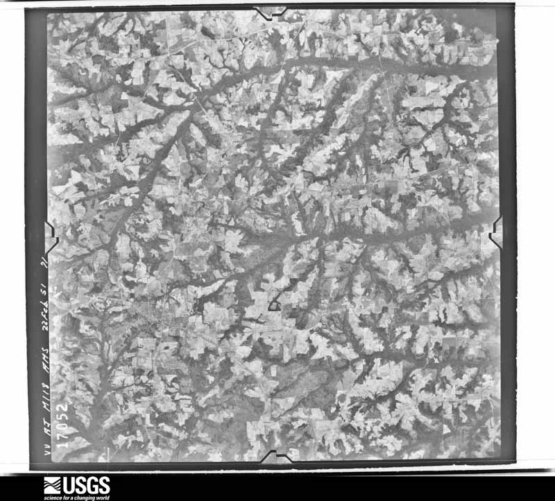
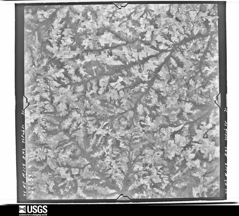
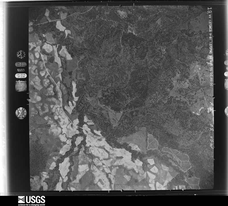
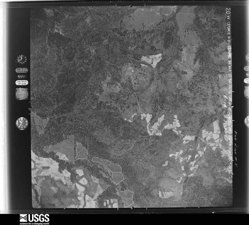
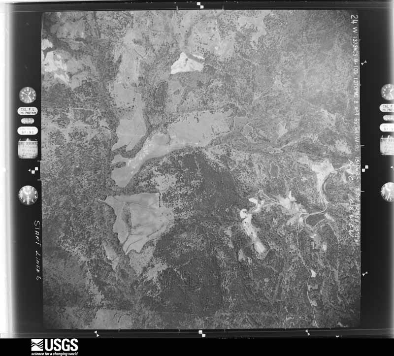
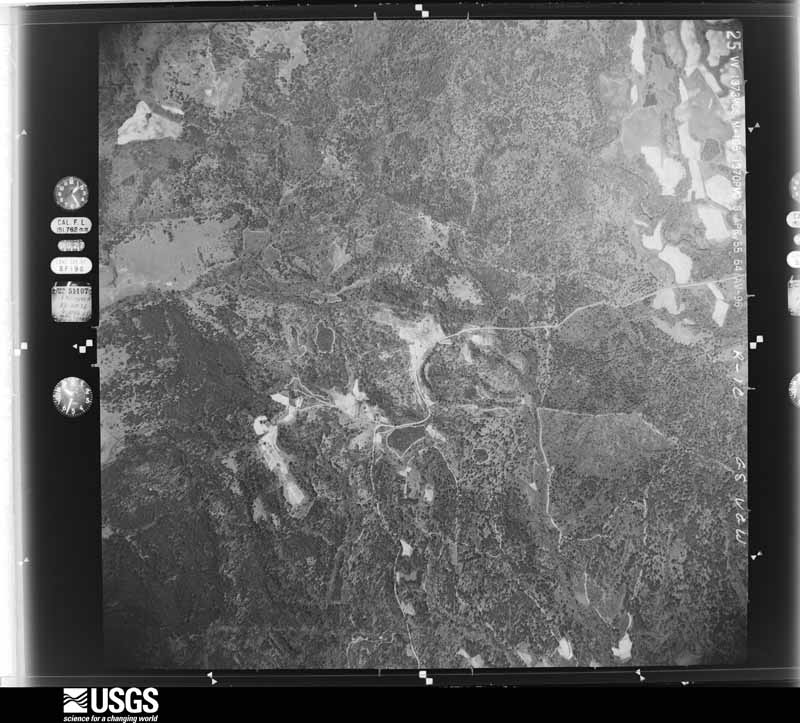
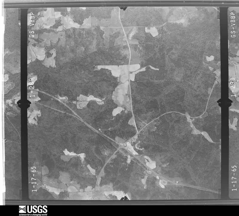
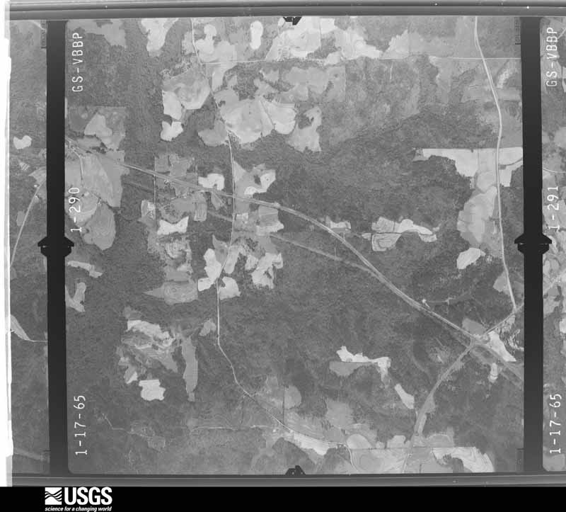
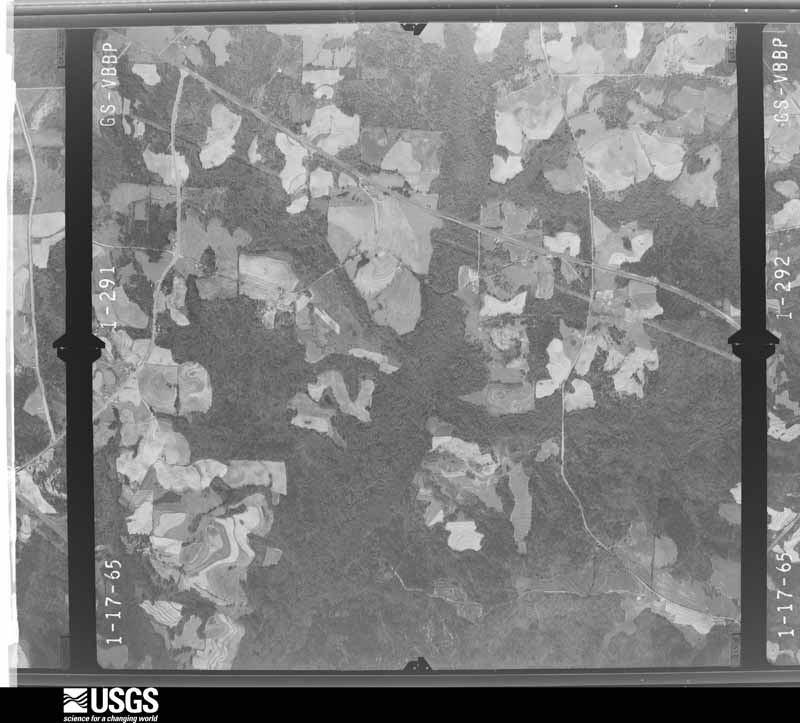
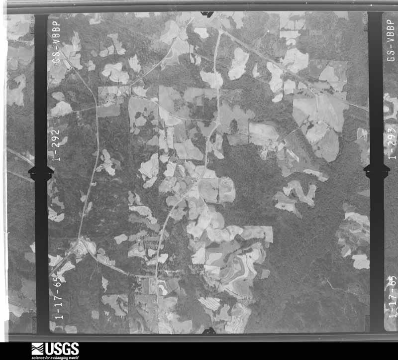
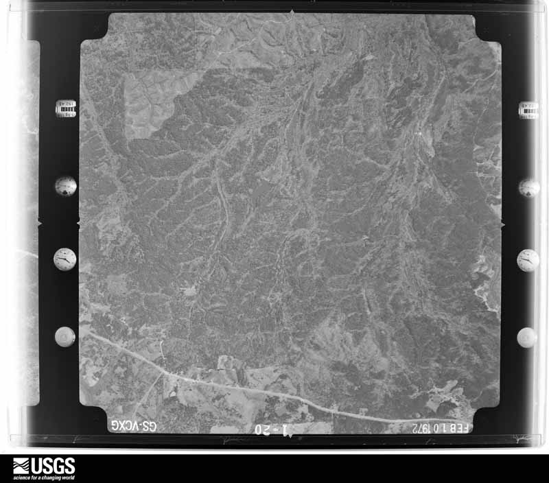
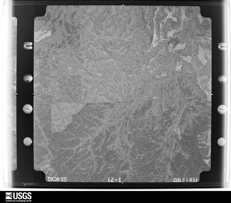
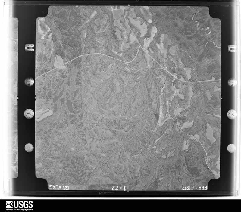
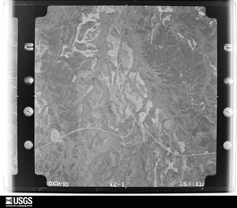
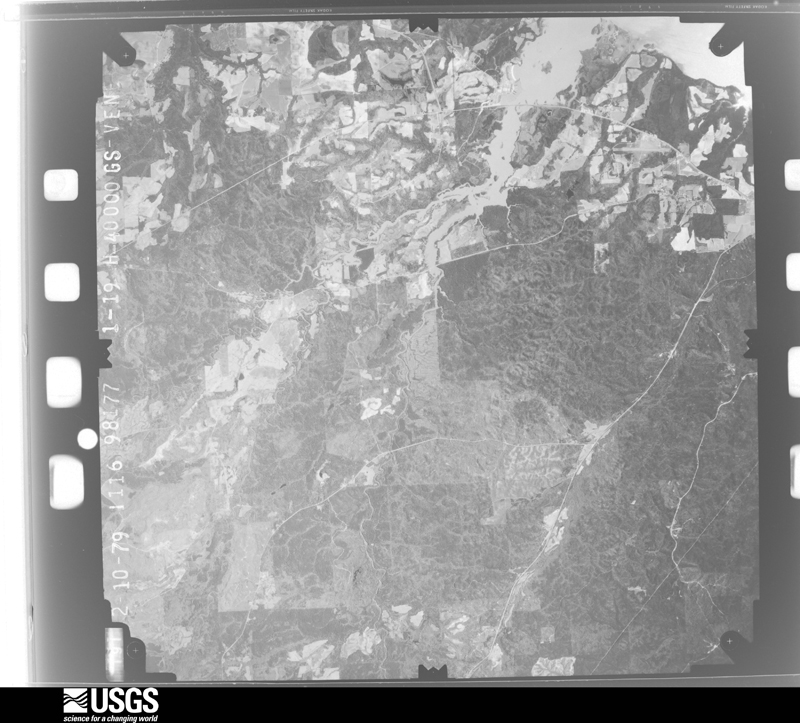
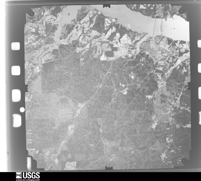
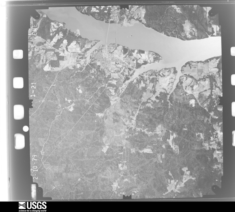
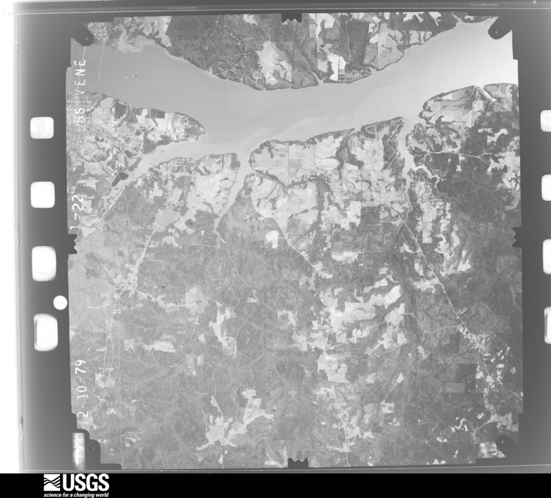
Who lived here in 1950, one enumeration district at a time, as the Census Bureau described each district. Each row opens its official National Archives result, with Population Schedules and ED Maps available there.
Every wildfire the federal occurrence database records inside this county: 651 of them, burning about 8,269 acres. 34 started naturally and 106 were recorded as arson. Each settlement page carries the fires within five miles of it.
| Reported cause | Fires |
|---|---|
| Debris and open burning | 261 |
| Missing data/not specified/undetermined | 114 |
| Arson/incendiarism | 106 |
| Equipment and vehicle use | 52 |
| Recreation and ceremony | 48 |
| Natural | 34 |
| Smoking | 14 |
| Railroad operations and maintenance | 11 |
| Misuse of fire by a minor | 10 |
| Power generation/transmission/distribution | 1 |
The five largest, by the area the report gives. Four of them were set deliberately.
| Date | Cause | Size | Reported by | Name on the report |
|---|---|---|---|---|
| 23 April 2013 | Arson/incendiarism | 340 acres | Alabama Forestry Commission | SER-20130423-001 |
| 29 July 2000 | Natural | 300 acres | Alabama Forestry Commission | not named |
| 15 July 2000 | Natural | 230 acres | Alabama Forestry Commission | not named |
| 5 April 2006 | Arson/incendiarism | 228 acres | Alabama Forestry Commission | MIDWAY |
| 12 March 2005 | Arson/incendiarism | 185 acres | Alabama Forestry Commission | not named |
| 3 March 2018 | Debris and open burning | 178 acres | Alabama Forestry Commission | 20180303-9 |
| 27 October 2014 | Equipment and vehicle use | 143 acres | Alabama Forestry Commission | SER-20141027-001 |
| 31 January 2017 | Arson/incendiarism | 138 acres | Alabama Forestry Commission | 20170131-29 |
Every settlement page carries the fires within five miles of it - see the settlement index below.
The NOAA Storm Events Database holds 259 reports for this county, causing no deaths, 14 injuries and about $4,267,000 in recorded property damage. Each settlement page carries the reports that name it.
| Kind of event | Reports |
|---|---|
| Thunderstorm Wind | 128 |
| Hail | 72 |
| Tornado | 44 |
| Flash Flood | 9 |
| Funnel Cloud | 5 |
| Lightning | 1 |
The most serious of them, by death, then injury, then recorded damage. The accounts are quoted exactly as the forecast office filed them.
| When | Event | Place named | Harm | What the report says |
|---|---|---|---|---|
| December 1954 | Tornado (F2) | not stated | 3 hurt, $2,500 | no account filed |
| April 2017 | Tornado (EF0) | Alston | 3 hurt | NWS Meteorologists surveyed damage in central Barbour County and determined the damage was consistent with an EF0 tornado, with maximum sustained winds of 85 mph. The tornado touched down in the Clayton City Limits along Highway 30, just east of Mill Drum Place. The tornado tracked northeast and uprooted a few trees on Clayton Street and Midway Street. One of these large trees landed on a mobile home. One adult and two children were injured at this location on Midway Street. The tornado continued northeast and went through the eastern part of Clayton. Several trees were uprooted and several structures suffered minor damage or trees landed on them. The tornado lifted at Oak Avenue just before Browder Street. |
| October 1964 | Tornado (F2) | not stated | 2 hurt, $2,500 | no account filed |
| January 2006 | Tornado (F0) | Clayton | 1 hurt, $250,000 | The tornado touched down at 12:20 PM CST in the Barbour County Wildlife Management Area, near the intersection of Charles Drive and County Road 49. It then moved northeastward and skirted County Road 49, then moved across a large wooded area and open pasture area. Several hundred trees were snapped off and uprooted near the beginning of the tornado damage path. As the tornado traveled northeast, a large warehouse at a family owned sod farm was completely destroyed. An office used by the sod farm was heavily damaged due to a large tree falling on it. The tornado crossed US 82 between the Comer community and the Batesville community. As the tornado crossed US 82, an automobile was tossed some 80 feet off the roadway. One male occupant of the car was injured and transported to the hospital. The tornado traveled just over a mile past US 82 and snapped off several hundred more trees before lifting north of US 82 near Bear Creek at approximately 1233 PM CST. The tornado snapped off many hundreds of trees along its path. One warehouse was destroyed, one office was heavily damaged, and one home sustained roof damage. Metal tin from the roof of a shed was thrown at least a half mile down the tornado path. At least one automobile was damaged and one man was injured. The tornado path length was 8.5 miles long and was 100 yards wide at its widest point.Begin: 31.9875/85.4472 End: 32.0328/85.3122 |
| May 1980 | Tornado (F2) | not stated | 1 hurt, $25,000 | no account filed |
| June 1957 | Tornado (F2) | not stated | 1 hurt, $25,000 | no account filed |
| April 1997 | Thunderstorm Wind | Clio | 1 hurt, $10,000 | Poles were snapped, power lines were downed, and trees were snapped and uprooted. Widespread damage was also reported throughout the county. There was one injury due to a tree falling on a car. Clio is in the southwest part of the county. |
| February 1990 | Thunderstorm Wind | not stated | 1 hurt | no account filed |
| July 1986 | Thunderstorm Wind | not stated | 1 hurt | no account filed |
| November 1986 | Tornado (F3) | not stated | $2,500,000 | no account filed |
| January 2007 | Tornado (F1) | Terese | $250,000 | The tornado touched down in the White Oak Shores Community, about nine miles south of Eufaula along Walter F. George Lake. Several hundred trees were snapped off or uprooted along the path. Numerous mobile homes were damaged and some were totally destroyed at White Oak Shores. The tornado then tracked northeastward across White Oak Creek Park and into the far southern part of the Woodlawn Subdivision. The tornado track ended at the Chattahoochee River. |
| January 1972 | Tornado (F3) | not stated | $250,000 | no account filed |
| April 2010 | Lightning | Eufaula | $100,000 | A lightning strike led to the complete loss of a home on AL-30, near the city of Eufaula. A resident of the home was able to escape unharmed. |
| February 2008 | Tornado (EF1) | Blue Spgs | $75,000 | The tornado touched down at the intersection of CR-72 and AL-33, near Blue Springs State Park. It then traveled northeastward about 2 miles, before lifting at CR-41 just east of the park. Four houses and one mobile home sustained roof damage, and several trees were snapped off. |
| March 1998 | Flash Flood | Countywide | $75,000 | After heavy rains over south Alabama, several roads were washed out in the southern part of the county. Schools were closed for a day due to the flooding. |
| January 2008 | Tornado (EF1) | Blue Spgs | $70,000 | The tornado touched down just southwest of the intersection of CR-33 and CR-72, where it damaged the roof of a mobile home, and tore off a covered deck and a portion of the attached roof of another home. Several large trees were also uprooted in this area. The tornado then tracked northeastward near Blue Springs State Park, with limited tree damage. Near the intersection of CR-70 and CR-41, a pecan tree was partially snapped and twisted, and another home sustained significant roof damage. Tornado debris punctured the roof of another home across the street. A total of 4 homes and one mobile home was damaged. |
| August 1999 | Thunderstorm Wind | Eufaula | $60,000 | Numerous trees were knocked down or uprooted. Numerous power lines were blown down. The Barbour County Bank had its roof torn off. A roof ripped off a store in downtown Eufaula and landed on a car. Three cars were damaged when a portable building was thrown into the air and landed on them. |
| December 1995 | Thunderstorm Wind | Clio | $45,000 | Wind damage was reported in Clio to the roofs of five houses along with damage to several peanut trailers. One house was reportedly blown down. |
| April 2005 | Tornado (F1) | Mt Andrew | $40,000 | The tornado first touched down southeast of Mount Andrew near CR 51 where several trees were blown down or snapped off. As the tornado moved northeastward, it gained strength and produced its most significant damage around the Barbour County Public Lake. Hundreds of very large trees were snapped off or blown down. Some of the trees were at least 4 feet in diameter. One home at the lake sustained significant damage due to fallen trees. Two out-buildings, one truck, and several boats were eitherdamaged or destroyed on the lake property. Two 14ft aluminum boats were picked up and sent flying over100 yards. Several lake roads were temporarily impassable due to the fallen trees. Numerous trees weresnapped off as the tornado continued northeastward across the Barbour County State Wildlife Management Area. The tornado weakened near the end of the path and only produced light tree damage near US 82 and CR 49. Begin: 31 55.82/85 29.82 End: 32 01.96/85 22.68 |
| February 2008 | Tornado (EF1) | Elamville | $35,000 | The tornado touched down near River Road and AL-10, where it snapped two wooden power poles. It then tracked northeast, across AL-51 just to the north of Clio, and rain roughly parallel to AL-51 south and west of Louisville, before lifting near the intersection of CR-79 and AL-30 several miles east of Clayton. Along the path, numerous trees were uprooted or snapped and several mobile homes sustained minor damage. |
| March 2005 | Hail | Louisville | $35,000 | no account filed |
| January 1998 | Flash Flood | Countywide | $35,000 | no account filed |
| December 2009 | Flash Flood | Eufaula | $25,000 | A portion of Cotton Hill Road, near the intersection with AL-30, became partially washed out due to water flowing over it. |
| May 2001 | Flash Flood | Countywide | $25,000 | Radar estimated 6 to 8 inches of rain fell in a short period of time that caused flooding mainly in eastern Barbour county near Eufaula. Most streets in the city of Eufaula were temporarily impassable and many vehicles were stranded or stalled in the high water. US 431 had up to a foot of water covering the roadway in the city of Eufaula. Just south of Eufaula, a large hole developed on US 82 that was created by flood waters. Several separate locations on US 82 had large cracks develop across the road. |
| November 1985 | Tornado (F1) | not stated | $25,000 | no account filed |
| March 2009 | Thunderstorm Wind | Akinsville | $20,000 | Two empty chicken houses were damaged near the Teals Crossroads community. |
| April 2002 | Hail | Clayton | $15,000 | A supercell thunderstorm moved across Barbour County producing very large hail and some tree damage. Dime to baseball size hail fell along the path of the storm. Many locations reported accumulations of hail on the ground. Several trees were also blown down and many trees received damage from the large hail. This was the same storm that produced the F0 tornado south of Clayton. |
| July 2000 | Thunderstorm Wind | Eufaula | $15,000 | Several trees were blown down just north of Eufaula near the intersection of US 431 and CR 97. One home was heavily damaged when a tree fell on it. One building in Eufaula had a heating unit damaged on the top of the structure. Several other reports of minor roof damage and trees blown down were received from the eastern part of Barbour County. |
| June 2006 | Thunderstorm Wind | Clayton | $12,000 | Trees were blown down. Tin roof of three trailers at Ventress Correctional Facility were peeled off. |
| August 2006 | Thunderstorm Wind | Eufaula | $10,000 | Multiple trees were blown down, resulting in damage to homes. |
| November 2006 | Tornado (F0) | Mt Andrew | $10,000 | The tornado briefly touched down approximately 1 mile west of the Mount Andrew community, on State Highway 51. One house suffered roof and wall damage near the intersection of Dry Creek Road and Minnie Guice Road, and at least one tree was snapped off. |
| April 1999 | Thunderstorm Wind | Eufaula | $10,000 | Several trees were knocked down in northern Barbour County. The most concentrated damage was near Lugo. |
| May 1998 | Hail | Batesville | $10,000 | Golf ball size hail was reported northeast of Batesville. |
| March 1996 | Hail | Clayton | $10,000 | no account filed |
| April 2003 | Hail | Louisville | $8,000 | A severe thunderstorm dumped a swath of large hail over a 15 mile area in Barbour County. The hail fell from near Louisville to near Bakerhill with the largest pieces as big as half dollars. |
| July 2003 | Thunderstorm Wind | Eufaula | $8,000 | A few trees and power lines were blown down in Eufaula. |
| June 2002 | Thunderstorm Wind | Clayton | $8,000 | Trees were knocked down along SR 51 around mile marker 58. Some of the fallen trees landed on automobiles. No injuries were reported. |
| April 2011 | Thunderstorm Wind | Clayton Muni Arpt | $7,500 | Several trees were blown down in the western portion of Barbour County. One tree landed on a home, causing considerable damage. |
| February 2008 | Tornado (EF0) | Richards Xrds | $6,000 | A weak tornado touched down briefly near Eubanks Road (also known as CR-12) where it destroyed a barn, tore shingles off a roof, uprooted a large pine tree and damaged a tin roof. It then tracked northeast along CR-79 a short distance, before lifting near the intersection of CR-79 and AL-18. Along the path several trees were uprooted or snapped and several road signs sustained minor damage. |
| December 2005 | Hail | Clayton | $6,000 | Golf ball size hail fell in and around Clayton and covered the ground in several locations. |
| March 2002 | Thunderstorm Wind | Clayton | $6,000 | A large tree was blown down and landed on an automobile. The vehicle suffered moderate damage. |
| March 2001 | Thunderstorm Wind | Louisville | $6,000 | Several trees were blown down and one barn was destroyed in Louisville. |
| March 2005 | Thunderstorm Wind | Louisville | $6,000 | no account filed |
| December 2009 | Flash Flood | Terese | $5,000 | A portion of AL-95 south of Eufaula had to be closed for a short time due to flash flooding. |
| November 2006 | Tornado (F2) | Baxters | $5,000 | The Hamilton Crossroads tornado crossed from Pike into Barbour County, and traveled another 3 miles before lifting. Damage in the Barbour County portion was relatively minor, and consisted of mainly downed trees. |
| March 2005 | Hail | Clayton | $5,000 | Golf ball size hail was reported near the White Oak community by the Fire Department. |
| September 2001 | Thunderstorm Wind | Eufaula | $5,000 | One large pine tree fell on a carport in Eufaula. The tree destroyed the carport and much of its contents. |
| March 1999 | Thunderstorm Wind | Blue Spgs | $5,000 | Numerous trees were knocked down around Blue Springs. |
| June 1998 | Thunderstorm Wind | Eufaula | $5,000 | A few large limbs were down in the Eufaula area. |
| June 1998 | Thunderstorm Wind | Eufaula | $5,000 | Numerous trees were blown down in Eufaula. |
| July 1998 | Thunderstorm Wind | Clayton | $5,000 | Numerous power outages were reported in Clayton due to downed trees. |
| June 1998 | Thunderstorm Wind | Eufaula | $5,000 | Trees and power lines were down in Eufaula. |
| January 1997 | Hail | Eufaula | $5,000 | no account filed |
| November 1997 | Hail | Eufaula | $5,000 | no account filed |
| November 1997 | Thunderstorm Wind | Eufaula | $5,000 | no account filed |
| August 2010 | Thunderstorm Wind | Comer | $4,000 | Several trees down, either snapped or bent over, along County Road 49 and Comer Loop. Lots of small branches in the roadway. Two trees fell onto power lines. |
| March 2005 | Hail | Bakerhill | $4,000 | Golf ball size hail was reported along the Barbour and Henry County line just east of US 431. The hailalso fell near the Richards Crossroads community. |
| March 2005 | Hail | Bakerhill | $4,000 | Golf ball size hail was reported near the White Oak Recreation Area on Walter F George Lake. |
| April 1998 | Hail | Louisville | $4,000 | Golf ball size hail was reported in the Louisville area, reported by the state trooper post. |
| July 1997 | Hail | Clio | $4,000 | Three-quarter inch hail was reported just east of Clio, in the southern part of the county. |
The Survey's mineral resources record lists 428 workings inside this county. 12 still produce and 416 are closed or unrecorded. Each settlement page carries the workings within five miles of it.
| Commodity | Workings |
|---|---|
| Aluminum | 233 |
| Iron | 178 |
| Water, Free | 11 |
| Clay | 10 |
| Sand and Gravel, Construction | 4 |
| Kaolin | 4 |
| Titanium, Metal | 1 |
| Titanium | 1 |
| Zirconium | 1 |
| Fire Clay (Refractory) | 1 |
| Kaolin, Aluminum | 1 |
| Manganese | 1 |
The least common of them first, because a county's hundredth gravel pit says nothing its first ten did not.
| Where | Site | Commodity | Status | Recorded |
|---|---|---|---|---|
| Alabama Bauxite Mine | Aluminum, Titanium, Metal | Producer | Bauxite, Ilmenite | |
| Barbour County Brown Iron Ore Deposits | Iron, Manganese | Past Producer | 1944 | |
| Barbour County Mines Pit 2 | Fire Clay (Refractory), Aluminum | Producer | ||
| Chattahoochee River Prospect | Titanium, Zirconium | Occurrence | ||
| Eufaula Bauxite District | Kaolin, Aluminum | Producer | 1922, 1923 | |
| Barbour Operation Wilson-Snead Mill | Kaolin | Producer | ||
| Dixon Mine | Aluminum, Kaolin | Past Producer | ||
| Eufaula Mine | Sand and Gravel, Construction | Producer | ||
| Eufaula Pit | Aluminum, Kaolin | Past Producer | ||
| Harbison-Walker Refractories Pit | Aluminum, Kaolin | Past Producer | ||
| McKenzie No. 2 Pit | Sand and Gravel, Construction | Past Producer | ||
| Unnamed Quarry | Sand and Gravel, Construction | Producer | Quartz | |
| Unnamed Quarry | Sand and Gravel, Construction | Producer | Quartz | |
| A P Green Mine & Eufaula Mill | Clay | Producer | ||
| Bar 1 Clay Prospect | Clay | Prospect | ||
| Bar 16 Clay Prospect | Clay | Prospect | ||
| Bar 17 Clay Prospect | Clay | Prospect | ||
| Bar 2 Clay Prospect | Clay | Prospect | ||
| Barbour County Mine | Clay | Producer | ||
| Barbour County Mines | Clay | Producer | ||
| Barbour County Mines | Clay | Past Producer | ||
| Bowden Deposits | Clay | Occurrence | ||
| Eufaula Plant | Clay | Producer | ||
| Baker 1 | Aluminum, Water, Free | Past Producer | Surface | |
| Barbour Operations Mine | Aluminum, Water, Free | Producer | Surface | |
| Black Brothers Sand and Gravel Pit | Aluminum, Water, Free | Past Producer | Surface | |
| Dixon 2 | Aluminum, Water, Free | Past Producer | Surface | |
| Dixon 3 | Aluminum, Water, Free | Past Producer | Surface | |
| Eubanks | Aluminum, Water, Free | Past Producer | Surface | |
| Hartzog 1 | Aluminum, Water, Free | Past Producer | Surface | |
| Lynn | Aluminum, Water, Free | Past Producer | 1942 | |
| Sparkman 1 | Aluminum, Water, Free | Past Producer | Surface | |
| Whitehead | Aluminum, Water, Free | Past Producer | 1942 | |
| Wilson 6 | Aluminum, Water, Free | Past Producer | Surface | |
| Unnamed | Iron | Unknown | ||
| Unnamed | Iron | Unknown | ||
| Unnamed | Iron | Unknown | ||
| Unnamed | Iron | Unknown | ||
| Unnamed | Iron | Unknown | ||
| Unnamed | Iron | Unknown | ||
| Unnamed | Iron | Unknown | ||
| Unnamed | Iron | Unknown | ||
| Unnamed | Iron | Unknown | ||
| Unnamed | Iron | Unknown | ||
| Unnamed | Iron | Unknown | ||
| Unnamed | Iron | Unknown | ||
| Unnamed | Iron | Unknown | ||
| Unnamed | Iron | Unknown | ||
| Unnamed | Iron | Unknown | ||
| Unnamed | Iron | Unknown | ||
| Unnamed | Iron | Unknown | ||
| Unnamed | Iron | Unknown | ||
| Unnamed | Iron | Unknown | ||
| Unnamed | Iron | Unknown | ||
| Unnamed | Iron | Unknown | ||
| Unnamed | Iron | Unknown | ||
| Unnamed | Iron | Unknown | ||
| Unnamed | Iron | Unknown | ||
| Unnamed | Iron | Unknown | ||
| Unnamed | Iron | Unknown | ||
| Unnamed | Iron | Unknown | ||
| Unnamed | Iron | Unknown | ||
| Unnamed | Iron | Unknown | ||
| Unnamed | Iron | Unknown | ||
| Unnamed | Iron | Unknown | ||
| Unnamed | Iron | Unknown | ||
| Unnamed | Iron | Unknown | ||
| Unnamed | Iron | Unknown | ||
| Unnamed | Iron | Unknown | ||
| Unnamed | Iron | Unknown | ||
| Unnamed | Iron | Unknown | ||
| Unnamed | Iron | Unknown | ||
| Unnamed | Iron | Unknown | ||
| Unnamed | Iron | Unknown | ||
| Unnamed | Iron | Unknown | ||
| Unnamed | Iron | Unknown | ||
| Unnamed | Iron | Unknown | ||
| Unnamed | Iron | Unknown | ||
| Unnamed | Iron | Unknown | ||
| Unnamed | Iron | Unknown | ||
| Unnamed | Iron | Unknown | ||
| Unnamed | Iron | Unknown | ||
| Unnamed | Iron | Unknown | ||
| Unnamed | Iron | Unknown | ||
| Unnamed | Iron | Unknown | ||
| Unnamed | Iron | Unknown | ||
| Unnamed | Iron | Unknown | ||
| Unnamed | Iron | Unknown | ||
| Unnamed | Iron | Unknown | ||
| Unnamed | Iron | Unknown | ||
| Unnamed | Iron | Unknown | ||
| Unnamed | Iron | Unknown | ||
| Unnamed | Iron | Unknown | ||
| Unnamed | Iron | Unknown | ||
| Unnamed | Iron | Unknown | ||
| Unnamed | Iron | Unknown | ||
| Unnamed | Iron | Unknown | ||
| Unnamed | Iron | Unknown | ||
| Unnamed | Iron | Unknown | ||
| Unnamed | Iron | Unknown | ||
| Unnamed | Iron | Unknown | ||
| Unnamed | Iron | Unknown | ||
| Unnamed | Iron | Unknown | ||
| Unnamed | Iron | Unknown | ||
| Unnamed | Iron | Unknown | ||
| Unnamed | Iron | Unknown | ||
| Unnamed | Iron | Unknown | ||
| Unnamed | Iron | Unknown | ||
| Unnamed | Iron | Unknown | ||
| Unnamed | Iron | Unknown | ||
| Unnamed Deposit | Iron | Occurrence | ||
| Unnamed Deposit | Iron | Occurrence | ||
| Unnamed Deposit | Iron | Occurrence | ||
| Unnamed Deposit | Iron | Occurrence | ||
| Unnamed Deposit | Iron | Occurrence | ||
| Unnamed Deposit | Iron | Occurrence | ||
| Unnamed Deposit | Iron | Occurrence | ||
| Unnamed Deposit | Iron | Occurrence | ||
| Unnamed Deposit | Iron | Occurrence | ||
| Unnamed Deposit | Iron | Occurrence | ||
| Unnamed Deposit | Iron | Occurrence | ||
| Unnamed Deposit | Iron | Occurrence | ||
| Unnamed Deposit | Iron | Occurrence | ||
| Unnamed Deposit | Iron | Occurrence | ||
| Unnamed Deposit | Iron | Occurrence | ||
| Unnamed Deposit | Iron | Occurrence | ||
| Unnamed Deposit | Iron | Occurrence | ||
| Unnamed Deposit | Iron | Occurrence | ||
| Unnamed Deposit | Iron | Occurrence | ||
| Unnamed Deposit | Iron | Occurrence | ||
| Unnamed Mine | Iron | Past Producer | ||
| Unnamed Mine | Iron | Past Producer | ||
| Unnamed Mine | Iron | Past Producer | ||
| Unnamed Mine | Iron | Past Producer | ||
| Unnamed Mine | Iron | Past Producer | ||
| Unnamed Mine | Iron | Past Producer | ||
| Unnamed Mine | Iron | Past Producer | ||
| Unnamed Mine | Iron | Past Producer | ||
| Unnamed Mine | Iron | Past Producer | ||
| Unnamed Mine | Iron | Past Producer | ||
| Unnamed Mine | Iron | Past Producer | ||
| Unnamed Mine | Iron | Past Producer | ||
| Unnamed Mine | Iron | Past Producer | ||
| Unnamed Mine | Iron | Past Producer | ||
| Unnamed Mine | Iron | Past Producer | ||
| Unnamed Mine | Iron | Past Producer | ||
| Unnamed Mine | Iron | Past Producer | ||
| Unnamed Mine | Iron | Past Producer | ||
| Unnamed Mine | Iron | Past Producer | ||
| Unnamed Mine | Iron | Past Producer | ||
| Unnamed Mine | Iron | Past Producer | ||
| Unnamed Mine | Iron | Past Producer | ||
| Unnamed Mine | Iron | Past Producer | ||
| Unnamed Mine | Iron | Past Producer | ||
| Unnamed Mine | Iron | Past Producer | ||
| Unnamed Mine | Iron | Past Producer | ||
| Unnamed Mine | Iron | Past Producer | ||
| Unnamed Mine | Iron | Past Producer | ||
| Unnamed Mine | Iron | Past Producer | ||
| Unnamed Mine | Iron | Past Producer | ||
| Unnamed Mine | Iron | Past Producer | ||
| Unnamed Mine | Iron | Past Producer | ||
| Unnamed Mine | Iron | Past Producer | ||
| Unnamed Mine | Iron | Past Producer | ||
| Unnamed Mine | Iron | Past Producer | ||
| Unnamed Mine | Iron | Past Producer | ||
| Unnamed Mine | Iron | Past Producer | ||
| Unnamed Mine | Iron | Past Producer | ||
| Unnamed Mine | Iron | Past Producer | ||
| Unnamed Mine | Iron | Past Producer | ||
| Unnamed Mine | Iron | Past Producer | ||
| Unnamed Mine | Iron | Past Producer | ||
| Unnamed Mine | Iron | Past Producer | ||
| Unnamed Mine | Iron | Past Producer | ||
| Unnamed Mine | Iron | Past Producer | ||
| Unnamed Mine | Iron | Past Producer | ||
| Unnamed Mine | Iron | Past Producer | ||
| Unnamed Mine | Iron | Past Producer | ||
| Unnamed Mines | Iron | Past Producer | ||
| Unnamed Mines | Iron | Past Producer | ||
| Unnamed Prospect | Iron | Prospect | ||
| Unnamed Prospect | Iron | Prospect | ||
| Unnamed Prospect | Iron | Prospect | ||
| Unnamed Prospect | Iron | Prospect | ||
| Unnamed Prospect | Iron | Prospect | ||
| Unnamed Prospect | Iron | Prospect | ||
| Unnamed Prospect | Iron | Prospect | ||
| Unnamed Prospect | Iron | Prospect | ||
| Unnamed Prospect | Iron | Prospect | ||
| Unnamed Prospect | Iron | Prospect | ||
| Unnamed Prospect | Iron | Prospect | ||
| Unnamed Prospect | Iron | Prospect | ||
| Unnamed Prospect | Iron | Prospect | ||
| Unnamed Prospect | Iron | Prospect | ||
| Unnamed Prospect | Iron | Prospect | ||
| Unnamed Prospect | Iron | Prospect | ||
| Unnamed Prospect | Iron | Prospect | ||
| Unnamed Prospect | Iron | Prospect | ||
| Unnamed Prospect | Iron | Prospect | ||
| Unnamed Prospect | Iron | Prospect | ||
| Unnamed Prospect | Iron | Prospect | ||
| Unnamed Prospect | Iron | Prospect | ||
| Unnamed Prospect | Iron | Prospect | ||
| Unnamed Prospect | Iron | Prospect | ||
| Unnamed Prospect | Iron | Prospect | ||
| Unnamed Prospect | Iron | Prospect | ||
| Unnamed Prospect | Iron | Prospect | ||
| Unnamed Prospect | Iron | Prospect | ||
| Unnamed Prospect | Iron | Prospect | ||
| Unnamed Prospect | Iron | Prospect | ||
| Unnamed Prospect | Iron | Prospect | ||
| A.J. Richards No. 4 Prospect | Aluminum | Prospect | ||
| A.J. Richards No. 6 Prospect | Aluminum | Prospect | ||
| A.P. Green Refractories Co. Pit | Aluminum | Past Producer | ||
| Barbour County Mine | Aluminum | Past Producer | ||
| Barbour County Pit | Aluminum | Past Producer | ||
| Barbour County Pit | Aluminum | Past Producer | ||
| Bauxite Mine | Aluminum | Past Producer | ||
| Bauxite Mine | Aluminum | Past Producer | ||
| Bauxite Mine | Aluminum | Past Producer | ||
| Bauxite Mine | Aluminum | Past Producer | ||
| Bauxite Mine | Aluminum | Past Producer | ||
| Bauxite Mine | Aluminum | Past Producer | ||
| Bauxite Mine | Aluminum | Past Producer | ||
| Bauxite Mine | Aluminum | Past Producer | ||
| Bauxite Mine | Aluminum | Past Producer | ||
| Bauxite Mine | Aluminum | Past Producer | ||
| Bauxite Mine | Aluminum | Past Producer | ||
| Bauxite Mine | Aluminum | Past Producer | ||
| Bauxite Mine | Aluminum | Past Producer | ||
| Bauxite Mine | Aluminum | Past Producer | ||
| Bauxite Mine | Aluminum | Past Producer | ||
| Bauxite Mine | Aluminum | Past Producer | ||
| Bauxite Mine | Aluminum | Past Producer | ||
| Bauxite Mine | Aluminum | Past Producer | ||
| Bauxite Mine | Aluminum | Past Producer | ||
| Bauxite Mine | Aluminum | Past Producer | ||
| Bauxite Mine | Aluminum | Past Producer | ||
| Bauxite Mine | Aluminum | Past Producer | ||
| Bauxite Mine | Aluminum | Past Producer | ||
| Bauxite Mine | Aluminum | Past Producer | ||
| Bauxite Mine | Aluminum | Past Producer | ||
| Bauxite Mine | Aluminum | Past Producer | ||
| Bauxite Mine | Aluminum | Past Producer | ||
| Bauxite Mines | Aluminum | Past Producer | ||
| Bauxite Mines | Aluminum | Past Producer | ||
| Bauxite Mines | Aluminum | Past Producer | ||
| Bauxite Mines | Aluminum | Past Producer | ||
| Bauxite Mines | Aluminum | Past Producer | ||
| Bauxite Mines | Aluminum | Past Producer | ||
| Baxley - Lynn Prospect | Aluminum | Unknown | ||
| Bertha Mcleod Mine | Aluminum | Past Producer | ||
| Blakley No. 4 Mine | Aluminum | Past Producer | ||
| Bradley No. 2 Prospect | Aluminum | Prospect | ||
| C A Lee Mine | Aluminum | Prospect | ||
| C A Lee Prospect | Aluminum | Occurrence | ||
| Dent Mine | Aluminum | Past Producer | ||
| Dixon - Federal Land Bank Deposit | Aluminum | Occurrence | ||
| Dixon - Federal Land Bank Deposit | Aluminum | Occurrence | ||
| Dixon - Federal Land Bank Deposit | Aluminum | Occurrence | ||
| Dixon - Federal Land Bank Deposit | Aluminum | Occurrence | ||
| Dixon - Federal Land Bank Deposit | Aluminum | Occurrence | ||
| Dixon - Federal Land Bnk Deposit | Aluminum | Occurrence | ||
| Dixon - White Deposit No 3 | Aluminum | Occurrence | ||
| Dixon - White Deposit No 4 | Aluminum | Occurrence | ||
| Espy Mine | Aluminum | Past Producer | ||
| Espy Mine | Aluminum | Past Producer | ||
| Espy Mine | Aluminum | Past Producer | ||
| Espy Mine | Aluminum | Past Producer | ||
| Espy No. 1 Mine | Aluminum | Past Producer | ||
| Espy Nos. 25 & 26 Mines | Aluminum | Past Producer | ||
| Espy Pit | Aluminum | Past Producer | ||
| Eufaula Mill | Aluminum | Past Producer | ||
| Eufaula Mining Operation | Aluminum | Past Producer | ||
| F. Lee No. 3 Mine | Aluminum | Past Producer | ||
| Foy No. 1 Prospect | Aluminum | Prospect | ||
| Godfrey Pits | Aluminum | Past Producer | ||
| Green and Lunsford Mine | Aluminum | Past Producer | ||
| Harbison-Walker Refractories Pit | Aluminum | Past Producer | ||
| J B Lee Mine | Aluminum | Past Producer | ||
| J P Williams Mine | Aluminum | Past Producer | ||
| J V Searcy Mine | Aluminum | Past Producer | ||
| J W Baxley Prospect | Aluminum | Occurrence | ||
| J W Baxley Prospect | Aluminum | Occurrence | ||
| Jemison No. 3 Prospect | Aluminum | Prospect | ||
| Jemison No. 4 Prospect | Aluminum | Prospect | ||
| Kaiser Number 1 | Aluminum | Occurrence | ||
| Kaiser Number 2 | Aluminum | Occurrence | ||
| Kaiser Number 3 | Aluminum | Occurrence | ||
| Kaiser Number 4 | Aluminum | Occurrence | ||
| Lee Pit No. 1 | Aluminum | Past Producer | ||
| Lucas Mines | Aluminum | Past Producer | ||
| M E Hudson Mine | Aluminum | Past Producer | ||
| M W Vinson Mine | Aluminum | Past Producer | ||
| Mamie Lee Mine | Aluminum | Past Producer | ||
| Mamie Lee Mine | Aluminum | Past Producer | ||
| Mamie Lee Mine No 2 | Aluminum | Past Producer | ||
| Mccraney Pit | Aluminum | Past Producer | ||
| Mcgilvary Prospect | Aluminum | Prospect | ||
| Mchellon Mine | Aluminum | Past Producer | ||
| Mchellon No. 1 Prospect | Aluminum | Prospect | ||
| Oma Threatt Mine | Aluminum | Past Producer | ||
| Omar White Mine | Aluminum | Past Producer | ||
| Omar White Mines | Aluminum | Past Producer | ||
| Pits Tr 1,2, & 3 | Aluminum | Past Producer | ||
| R R Johns Deposit No 14 | Aluminum | Occurrence | ||
| Richards No. 2 Prospect | Aluminum | Prospect | ||
| Richards Prospect | Aluminum | Unknown | ||
| Roan Baker Mine | Aluminum | Past Producer | ||
| Roan Baker No. 10 Prospect | Aluminum | Prospect | ||
| Roan Baker Nos. 5 & 6 Prospects | Aluminum | Prospect | ||
| S L Wood Mine | Aluminum | Past Producer | ||
| Shirley No. 1 Prospect | Aluminum | Prospect | ||
| Shirley No. 4 Prospect | Aluminum | Prospect | ||
| Smith Mine | Aluminum | Past Producer | ||
| Smith Mines | Aluminum | Past Producer | ||
| Smith Pit No. 1 | Aluminum | Past Producer | ||
| T A Richards Deposits | Aluminum | Occurrence | ||
| T A Richards Mine Nos 1 2 3 | Aluminum | Past Producer | ||
| T C Green Mine | Aluminum | Past Producer | ||
| Thomas No. 1 Prospect | Aluminum | Prospect | ||
| Trammell No. 1 Prospect | Aluminum | Prospect | ||
| Unnamed Deposit | Aluminum | Occurrence | ||
| Unnamed Deposit | Aluminum | Occurrence | ||
| Unnamed Deposit | Aluminum | Occurrence | ||
| Unnamed Deposit | Aluminum | Occurrence | ||
| Unnamed Deposit | Aluminum | Occurrence | ||
| Unnamed Deposit | Aluminum | Occurrence | ||
| Unnamed Deposit | Aluminum | Occurrence | ||
| Unnamed Deposit | Aluminum | Occurrence | ||
| Unnamed Deposit | Aluminum | Occurrence | ||
| Unnamed Deposit | Aluminum | Occurrence | ||
| Unnamed Deposit | Aluminum | Occurrence | ||
| Unnamed Deposit | Aluminum | Occurrence | ||
| Unnamed Deposit | Aluminum | Occurrence | ||
| Unnamed Deposit | Aluminum | Occurrence | ||
| Unnamed Deposit | Aluminum | Occurrence | ||
| Unnamed Deposit | Aluminum | Occurrence | ||
| Unnamed Deposit | Aluminum | Occurrence | ||
| Unnamed Deposit | Aluminum | Occurrence | ||
| Unnamed Deposit | Aluminum | Occurrence | ||
| Unnamed Deposit | Aluminum | Occurrence | ||
| Unnamed Deposit | Aluminum | Occurrence | ||
| Unnamed Deposit | Aluminum | Occurrence | ||
| Unnamed Deposit | Aluminum | Occurrence | ||
| Unnamed Deposit | Aluminum | Occurrence | ||
| Unnamed Deposit | Aluminum | Occurrence | ||
| Unnamed Deposit | Aluminum | Occurrence | ||
| Unnamed Deposit | Aluminum | Occurrence | ||
| Unnamed Deposit | Aluminum | Occurrence | ||
| Unnamed Deposit | Aluminum | Occurrence | ||
| Unnamed Deposit | Aluminum | Occurrence | ||
| Unnamed Deposit | Aluminum | Occurrence | ||
| Unnamed Deposit | Aluminum | Occurrence | ||
| Unnamed Deposit | Aluminum | Occurrence | ||
| Unnamed Deposit | Aluminum | Occurrence | ||
| Unnamed Deposit | Aluminum | Occurrence | ||
| Unnamed Deposit | Aluminum | Occurrence | ||
| Unnamed Deposit | Aluminum | Occurrence | ||
| Unnamed Deposit | Aluminum | Occurrence | ||
| Unnamed Deposit | Aluminum | Occurrence | ||
| Unnamed Deposit | Aluminum | Occurrence | ||
| Unnamed Deposit | Aluminum | Occurrence | ||
| Unnamed Deposit | Aluminum | Occurrence | ||
| Unnamed Deposit | Aluminum | Occurrence | ||
| Unnamed Deposit | Aluminum | Occurrence | ||
| Unnamed Deposit | Aluminum | Occurrence | ||
| Unnamed Deposit | Aluminum | Occurrence | ||
| Unnamed Deposit | Aluminum | Occurrence | ||
| Unnamed Deposit | Aluminum | Occurrence | ||
| Unnamed Deposit | Aluminum | Occurrence | ||
| Unnamed Deposit | Aluminum | Occurrence | ||
| Unnamed Deposit | Aluminum | Occurrence | ||
| Unnamed Deposit | Aluminum | Occurrence | ||
| Unnamed Deposit | Aluminum | Occurrence | ||
| Unnamed Deposit | Aluminum | Occurrence | ||
| Unnamed Deposit | Aluminum | Occurrence | ||
| Unnamed Deposit | Aluminum | Occurrence | ||
| Unnamed Deposit | Aluminum | Occurrence | ||
| Unnamed Deposit | Aluminum | Occurrence | ||
| Unnamed Deposit | Aluminum | Occurrence | ||
| Unnamed Deposit | Aluminum | Occurrence | ||
| Unnamed Deposit | Aluminum | Occurrence | ||
| Unnamed Deposit | Aluminum | Occurrence | ||
| Unnamed Deposit | Aluminum | Occurrence | ||
| Unnamed Deposit | Aluminum | Occurrence | ||
| Unnamed Deposit | Aluminum | Occurrence | ||
| Unnamed Deposit | Aluminum | Occurrence | ||
| Unnamed Deposit | Aluminum | Occurrence | ||
| Unnamed Deposit | Aluminum | Occurrence | ||
| Unnamed Deposit | Aluminum | Occurrence | ||
| Unnamed Deposit | Aluminum | Occurrence | ||
| Unnamed Deposit | Aluminum | Occurrence | ||
| Unnamed Deposit | Aluminum | Occurrence | ||
| Unnamed Deposit | Aluminum | Occurrence | ||
| Unnamed Deposit | Aluminum | Occurrence | ||
| Unnamed Deposit | Aluminum | Occurrence | ||
| Unnamed Deposit | Aluminum | Occurrence | ||
| Unnamed Deposit | Aluminum | Occurrence | ||
| Unnamed Deposit | Aluminum | Occurrence | ||
| Unnamed Deposit | Aluminum | Occurrence | ||
| Unnamed Deposit | Aluminum | Occurrence | ||
| Unnamed Deposit | Aluminum | Occurrence | ||
| Unnamed Deposit | Aluminum | Occurrence | ||
| Unnamed Deposit | Aluminum | Occurrence | ||
| Unnamed Deposit | Aluminum | Occurrence | ||
| Unnamed Deposit | Aluminum | Occurrence | ||
| Unnamed Deposit | Aluminum | Occurrence | ||
| Unnamed Deposit | Aluminum | Occurrence | ||
| Unnamed Deposit | Aluminum | Occurrence | ||
| Unnamed Deposit | Aluminum | Occurrence | ||
| Unnamed Deposit | Aluminum | Occurrence | ||
| Unnamed Deposit | Aluminum | Occurrence | ||
| Unnamed Deposit | Aluminum | Occurrence | ||
| Unnamed Deposit | Aluminum | Occurrence | ||
| Unnamed Deposit | Aluminum | Occurrence | ||
| Unnamed Deposit | Aluminum | Occurrence | ||
| Unnamed Deposit | Aluminum | Occurrence | ||
| Unnamed Mine | Aluminum | Past Producer | ||
| Unnamed Mine | Aluminum | Past Producer | ||
| Unnamed Mine | Aluminum | Past Producer | ||
| Unnamed Mine | Aluminum | Past Producer | ||
| Unnamed Mine | Aluminum | Past Producer | ||
| White No. 1 Deposit | Aluminum | Prospect | ||
| Wilson 7 | Aluminum | Occurrence | ||
| Wood Brothers Deposit | Aluminum | Occurrence | ||
| Wood Brothers Deposit | Aluminum | Occurrence | ||
| Wood Nos. 1 & 2 Prospects | Aluminum | Prospect |
Named settlements recorded in the Geographic Names Information System, each with the topographic sheets covering it. Villages, hamlets and abandoned places alike. Each is shown with the nearest named watercourse or landform and the survey quadrangle it falls on. The 2 places that were also surveyed for fire insurance come first, with the number of atlases and photographs held for them.
Clayton census division · 36016 · Clayton North quadrangle
8 sheets, 1953 to 1981
Fire insurance: 6 atlases
Eufaula census division · 36027 · On Chewalla Creek · Eufaula North quadrangle
8 sheets, 1953 to 1981
Fire insurance: 8 atlases
Eufaula census division · 36027 · On North Fork Cowikee Creek · Eufaula North quadrangle
8 sheets, 1953 to 1981
No longer a settlement
Clio census division · 36317 · Texasville quadrangle
8 sheets, 1953 to 1997
No longer a settlement
Clio census division · 36017 · On Chaney Branch · Clio quadrangle
8 sheets, 1953 to 1981
Louisville census division · 36048 · On Mothershed Branch · Perote quadrangle
7 sheets, 1953 to 1981
Eufaula census division · 36027 · Twin Springs quadrangle
9 sheets, 1955 to 1981
No longer a settlement
Clio census division · 36311 · Elamville quadrangle
8 sheets, 1953 to 1981
No longer a settlement
Eufaula census division · 36027 · Batesville quadrangle
8 sheets, 1955 to 1981
No longer a settlement
Bakerhill census division · 36027 · On Howell Creek · Baker Hill quadrangle
7 sheets, 1953 to 1981
Bakerhill census division · 36016 · On Hamm Creek · Lawrenceville quadrangle
8 sheets, 1953 to 1997
Eufaula census division · 36053 · On Bronson Creek · Batesville quadrangle
8 sheets, 1955 to 1981
No longer a settlement
Eufaula census division · 36027 · Eufaula North quadrangle
8 sheets, 1953 to 1981
No longer a settlement
Clayton census division · 36053 · Near Center Ridge · Mount Andrew quadrangle
7 sheets, 1953 to 1981
Eufaula census division · 36027 · On Chewalla Creek · Eufaula North quadrangle
8 sheets, 1953 to 1981
Eufaula census division · 36027 · On Middle Fork Cowikee Creek · Howe quadrangle
9 sheets, 1955 to 1981
Eufaula census division · 36016 · On Dowdy Creek · White Oak quadrangle
7 sheets, 1953 to 1981
No longer a settlement
Clayton census division · 36053 · On Spring Creek · Mount Andrew quadrangle
7 sheets, 1953 to 1981
No longer a settlement
Bakerhill census division · 36016 · On Smith Branch · Clayton South quadrangle
7 sheets, 1953 to 1981
Louisville census division · 36016 · On Mill Branch · Clayton South quadrangle
7 sheets, 1953 to 1981
Clayton census division · 36053 · Near Center Ridge · Mount Andrew quadrangle
7 sheets, 1953 to 1981
Clayton census division · 36016 · Near Graveyard Hill · Clayton North quadrangle
8 sheets, 1953 to 1981
No longer a settlement
Bakerhill census division · 36016 · On Cold Spring Branch · Baker Hill quadrangle
7 sheets, 1953 to 1981
Bakerhill census division · 36027 · Near Baker Hill Cuesta · Fort Gaines NW quadrangle
8 sheets, 1953 to 1981
Eufaula census division · 36027 · On Wilburn Creek · Batesville quadrangle
8 sheets, 1955 to 1981
No longer a settlement
Bakerhill census division · 36027 · Near Baker Hill Cuesta · Lawrenceville quadrangle
8 sheets, 1953 to 1997
Bakerhill census division · 36027 · On South Chipola Creek · Baker Hill quadrangle
7 sheets, 1953 to 1981
Clio census division · 36317 · Texasville quadrangle
8 sheets, 1953 to 1997
No longer a settlement
Bakerhill census division · 36027 · On Blacks Branch · Eufaula South quadrangle
8 sheets, 1953 to 1981
Clio census division · 36048 · On Carpenter Mill Creek · Clio quadrangle
8 sheets, 1953 to 1981
Eufaula census division · 36027 · On Cool Branch · Georgetown quadrangle
8 sheets, 1953 to 1981
The vanished settlements of Barbour County: the places named above that are no longer on the map.
8 topographic sheets and 8 fire insurance atlases, 1885 to 1950
8 topographic sheets and 6 fire insurance atlases, 1885 to 1924
The complete index, with nothing left out. Each of these is a separate record with its own page: a federal survey report, or the case file that argued a property on to the National Register. Both are public domain and reproduced word for word.
The vanished settlements of Barbour County, the places these records name that are no longer on the map.