Block
From the record
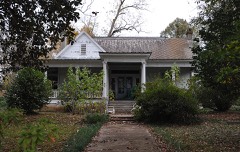
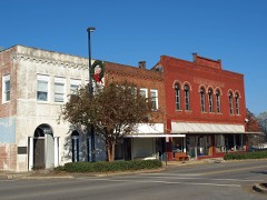
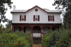
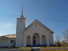
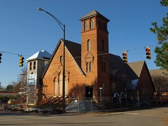
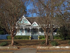
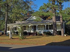
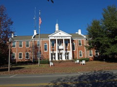
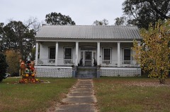
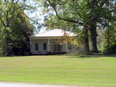
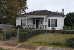
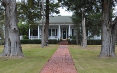
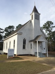
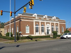
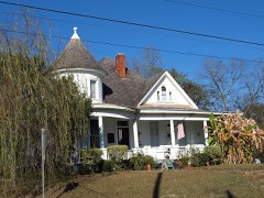
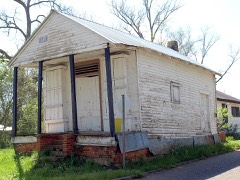
31 National Register listings published here.
Sources: the county history on the Internet Archive · the National Register database, National Park Service
32 topographic sheets and 11 fire insurance atlases across 2 places.
31 National Register listings published here.
Sources: the county history on the Internet Archive · the National Register database, National Park Service
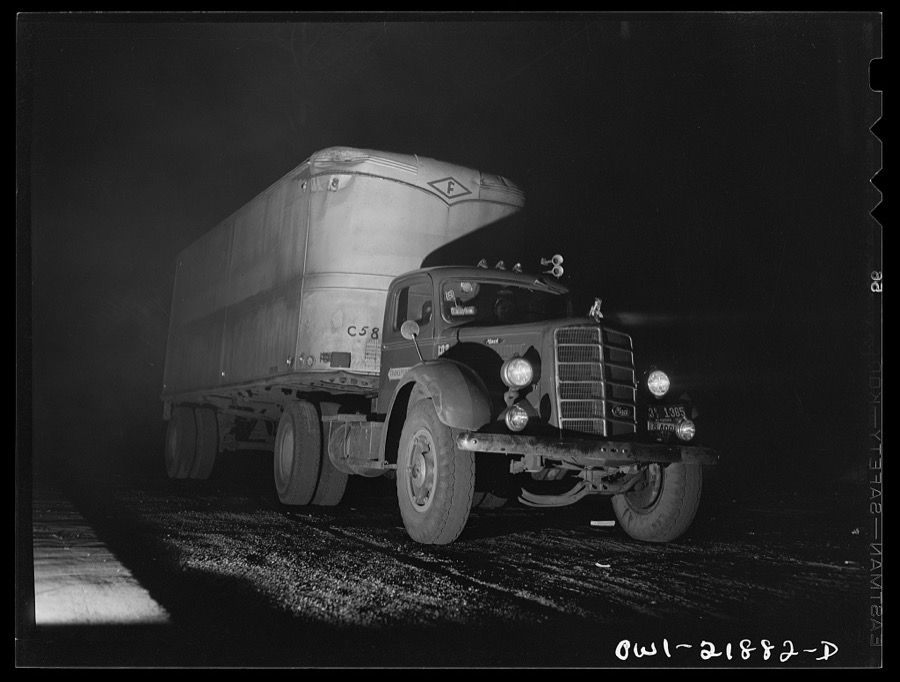
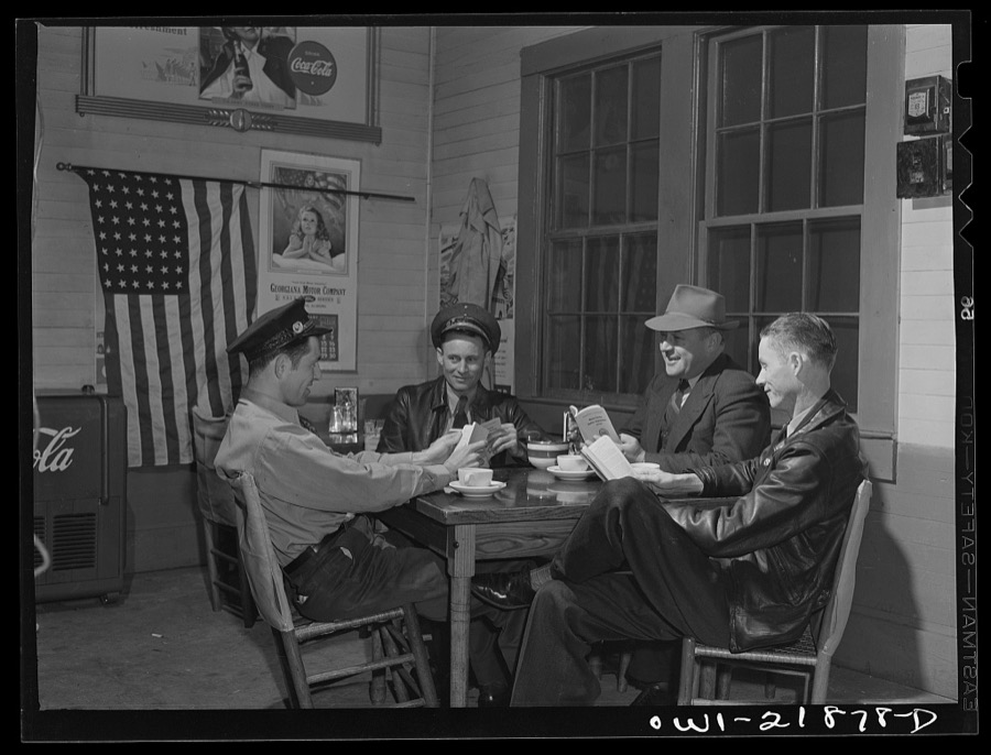
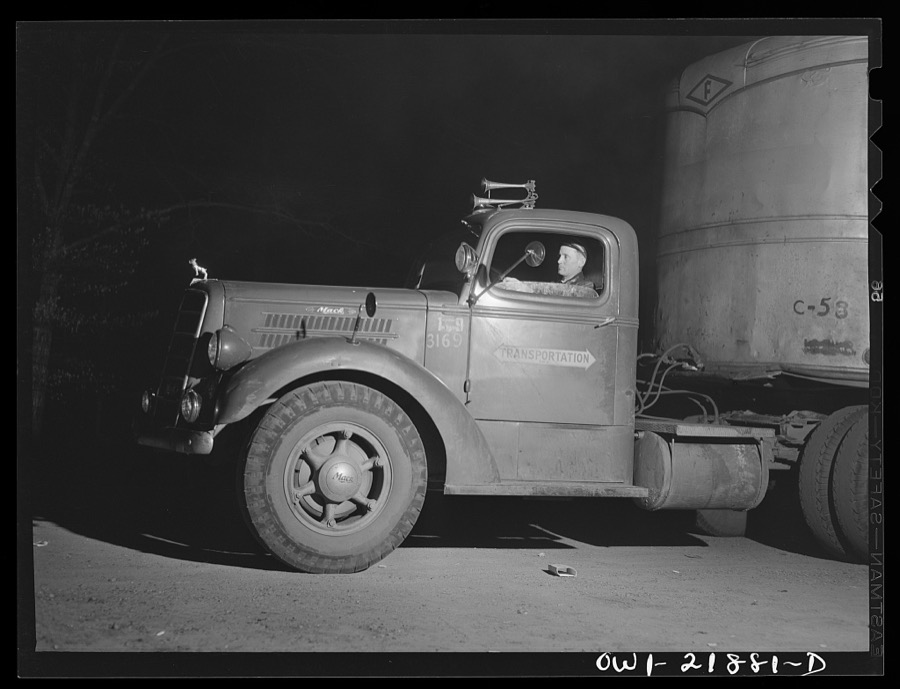
Taken for the Office of War Information and the Farm Security Administration, who photographed the country between 1935 and 1944. Works of United States government photographers, with no known restriction on use. Each opens its catalogue record.

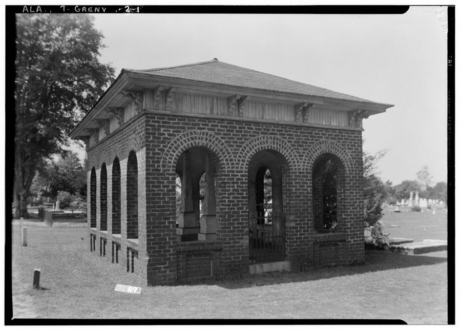
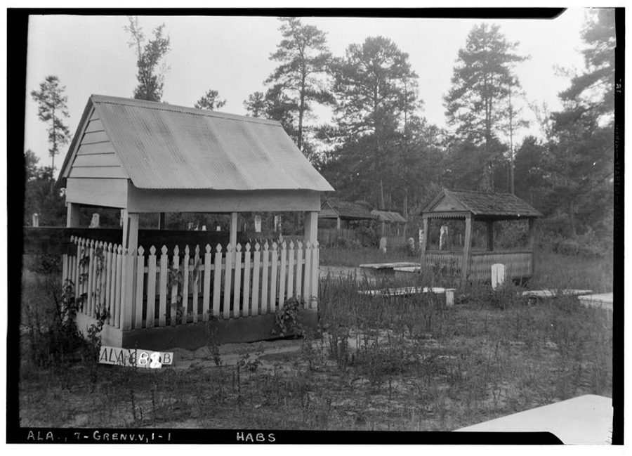
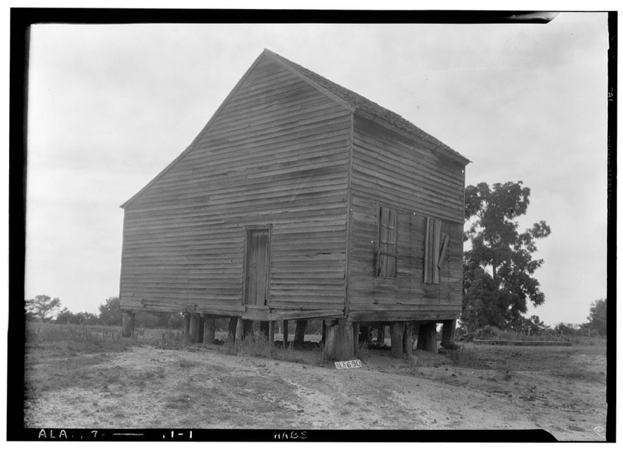
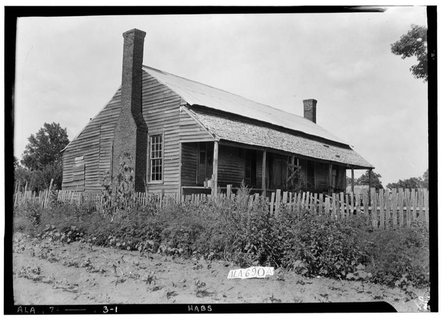
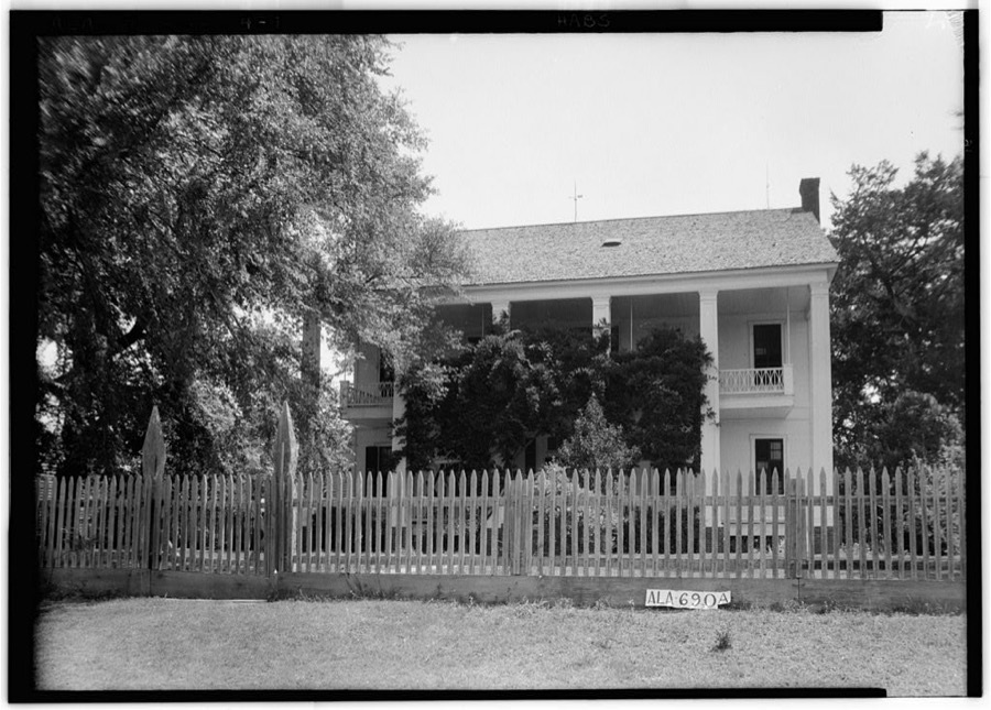
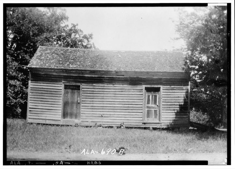
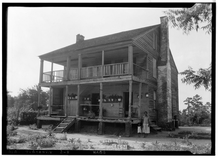
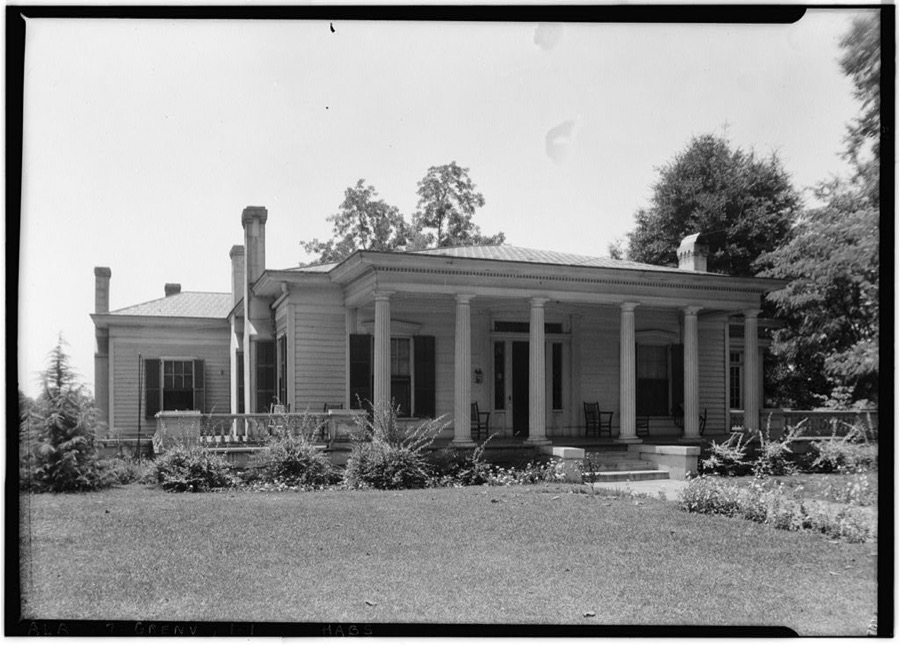
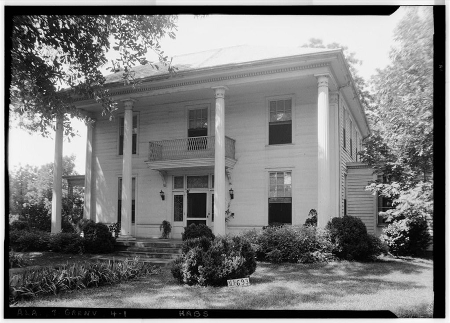
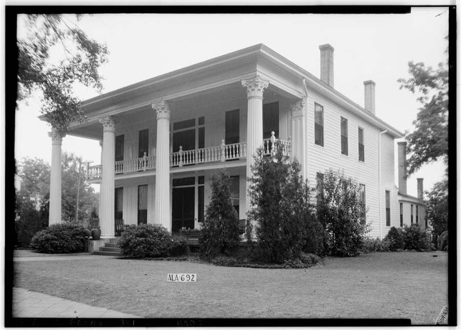
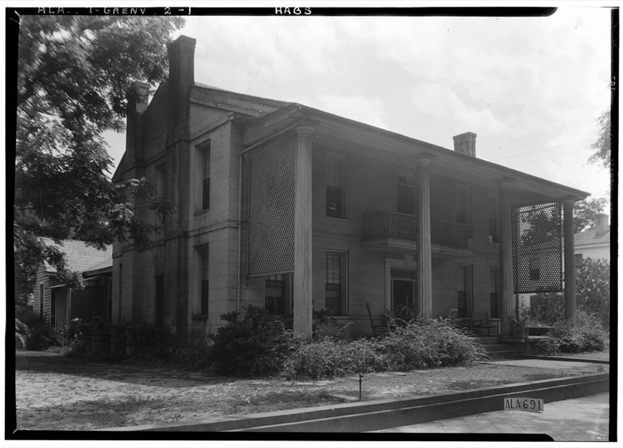
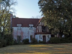
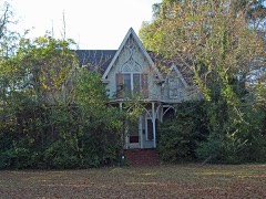
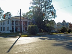
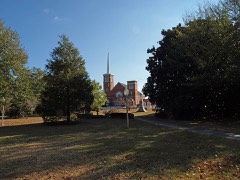
Every property in this county listed on the National Register of Historic Places, with the year it was listed and the federal nomination document.
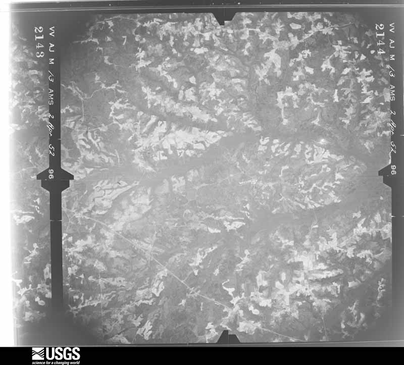
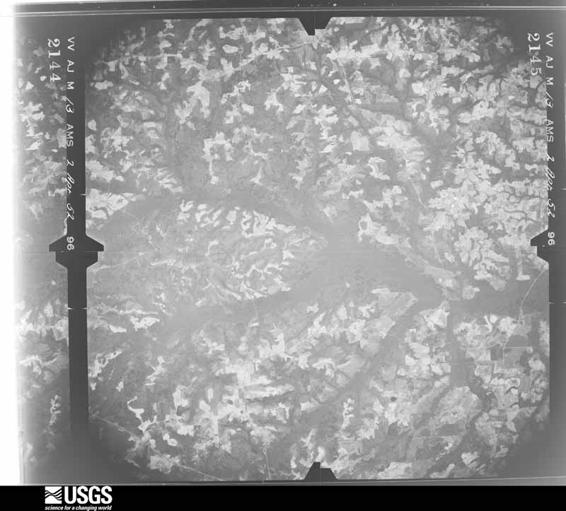
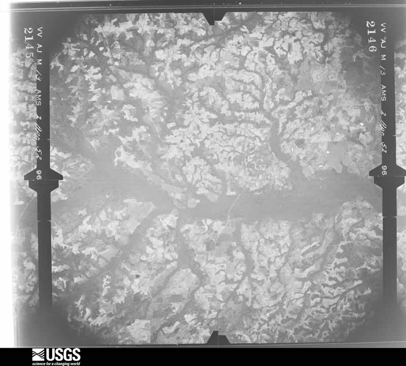
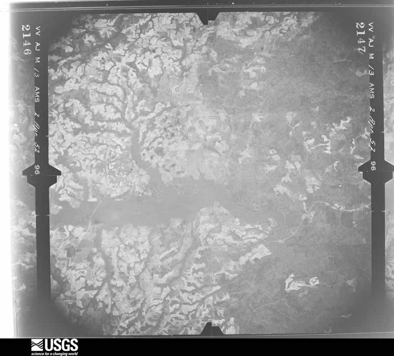
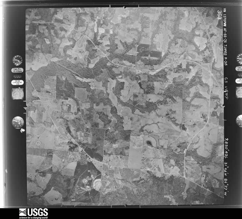
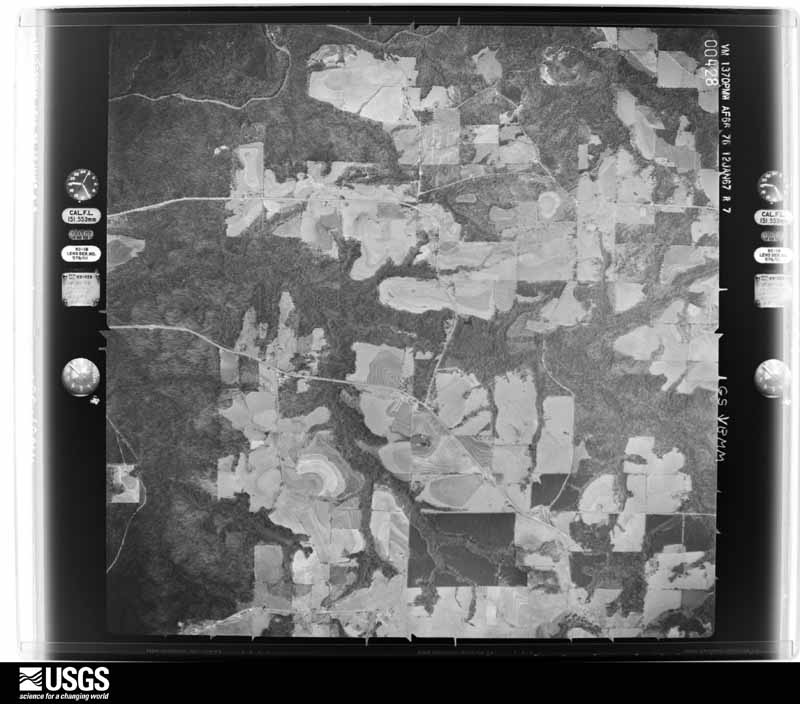
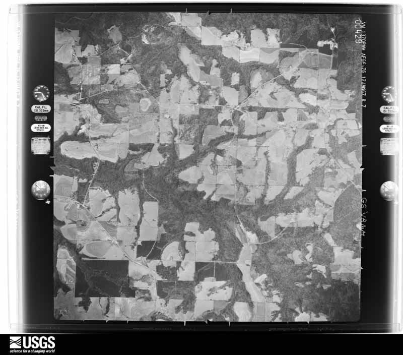
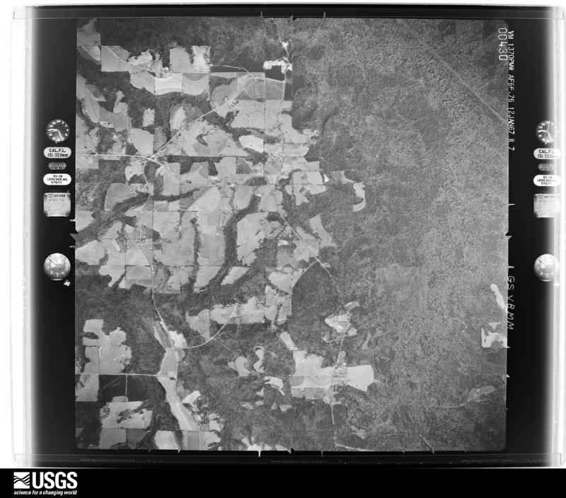
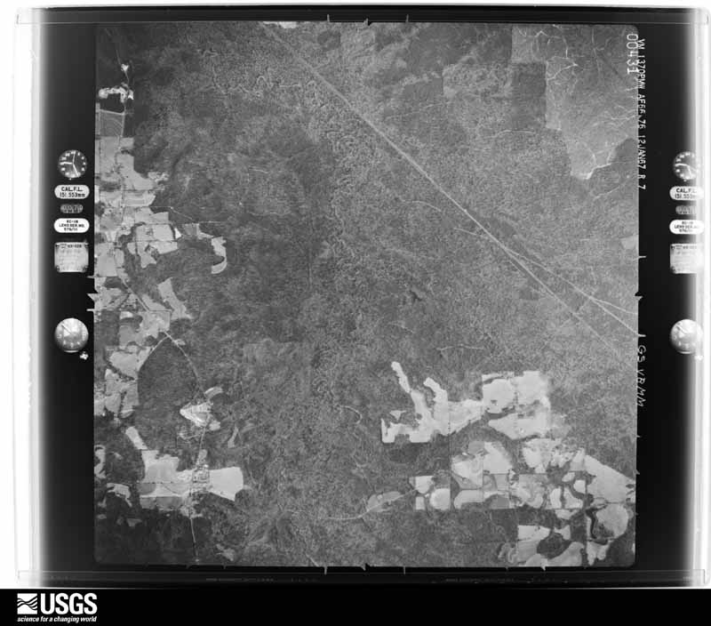
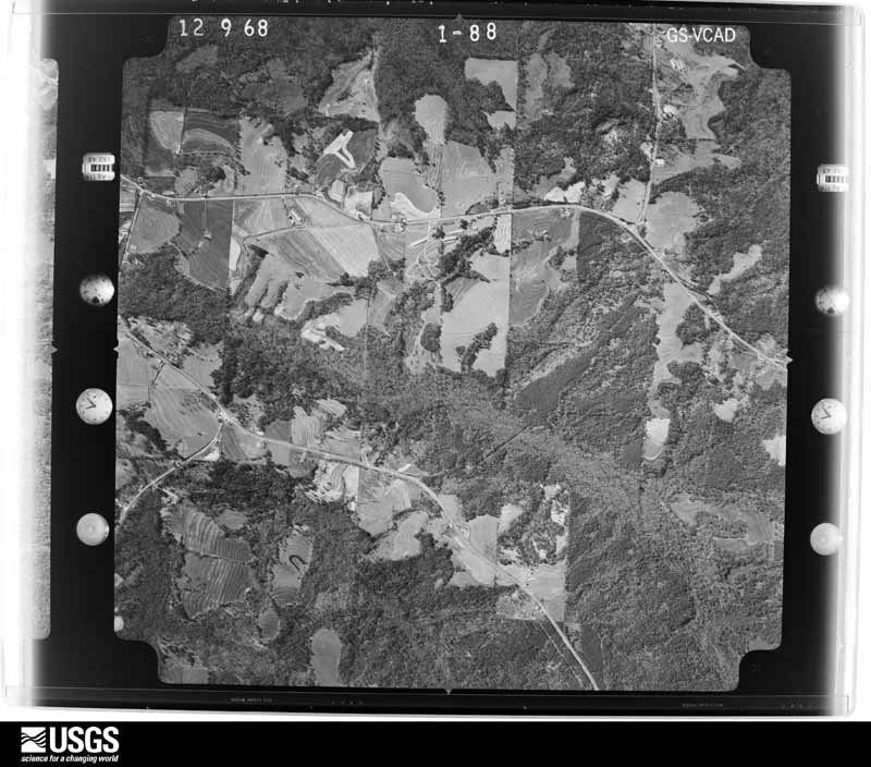
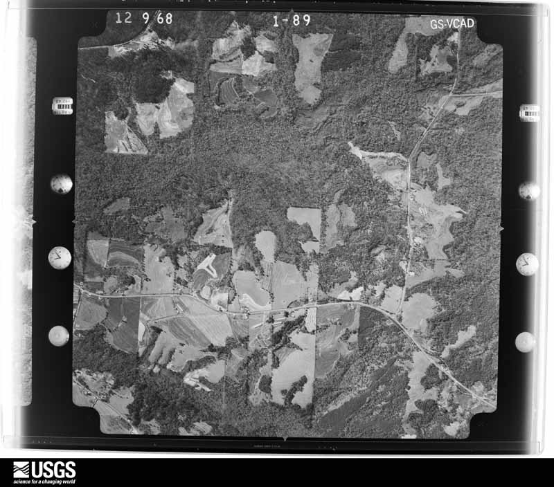
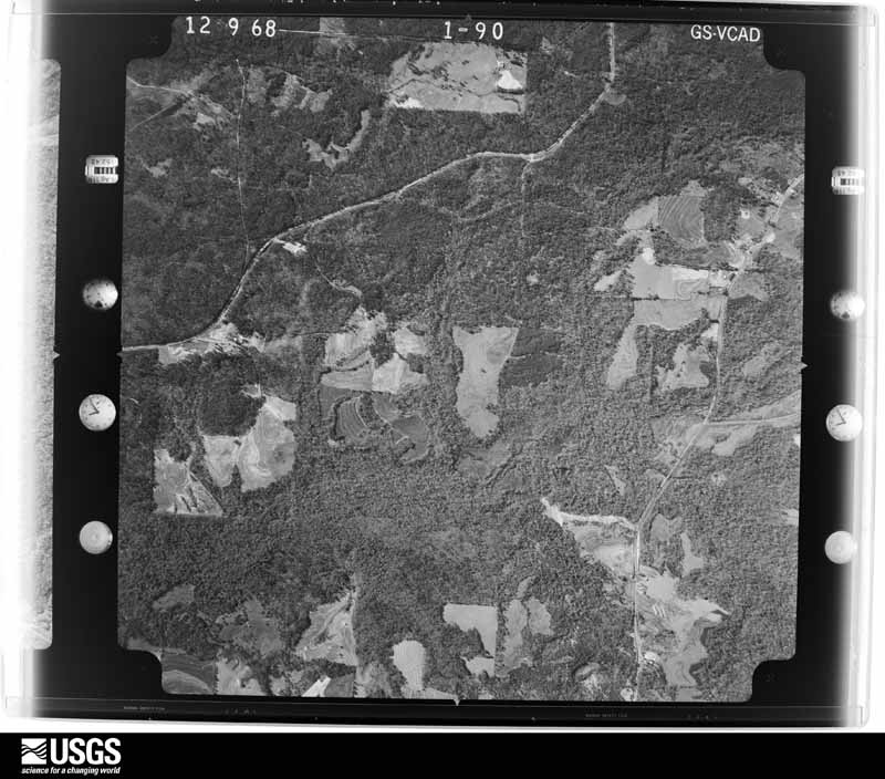
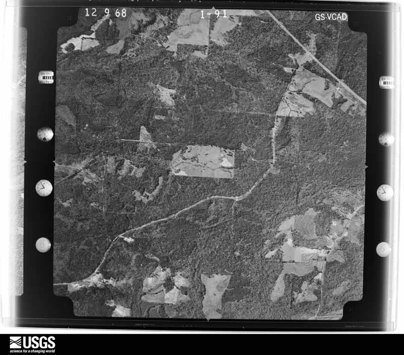
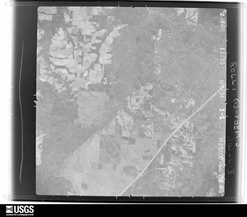
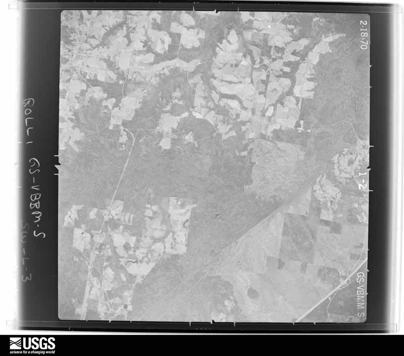
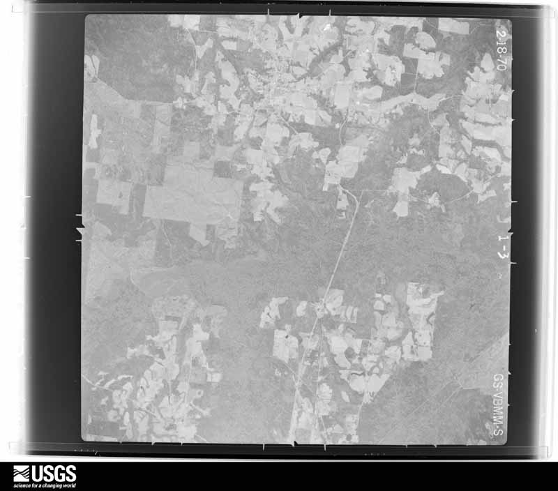
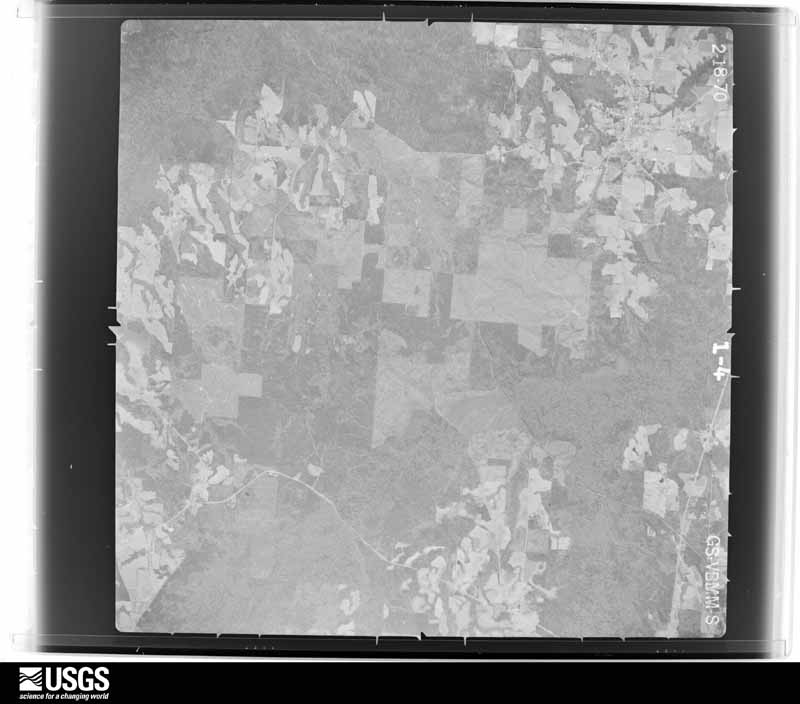
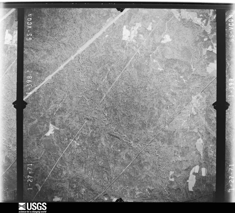
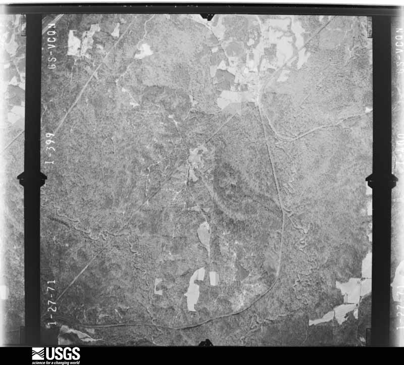
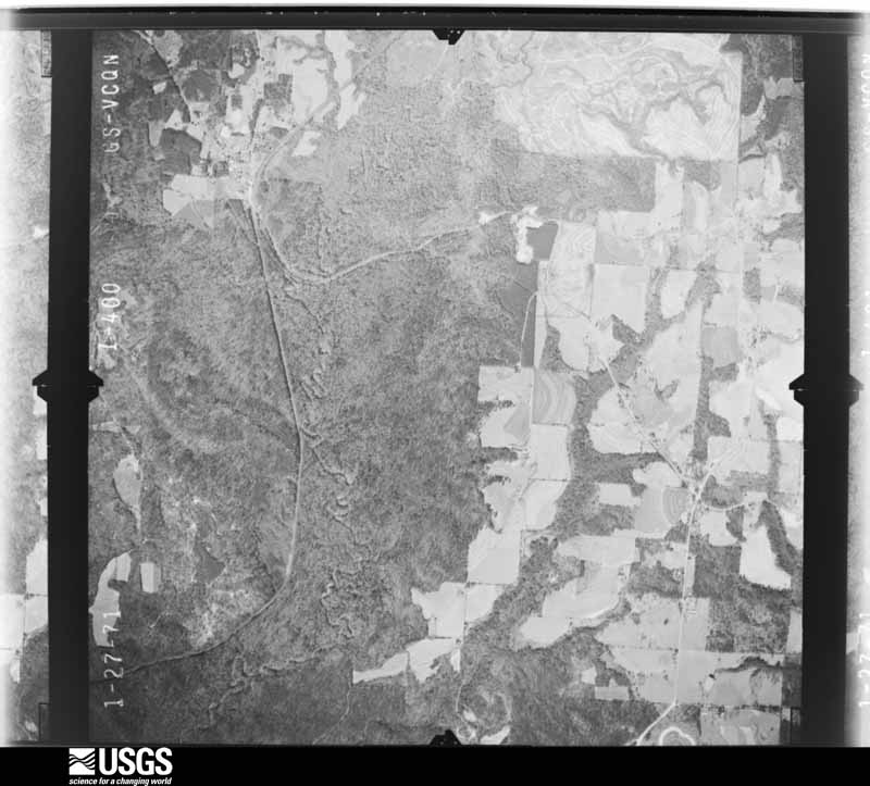
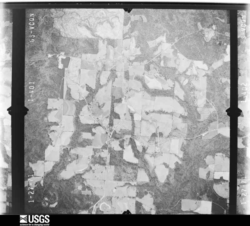
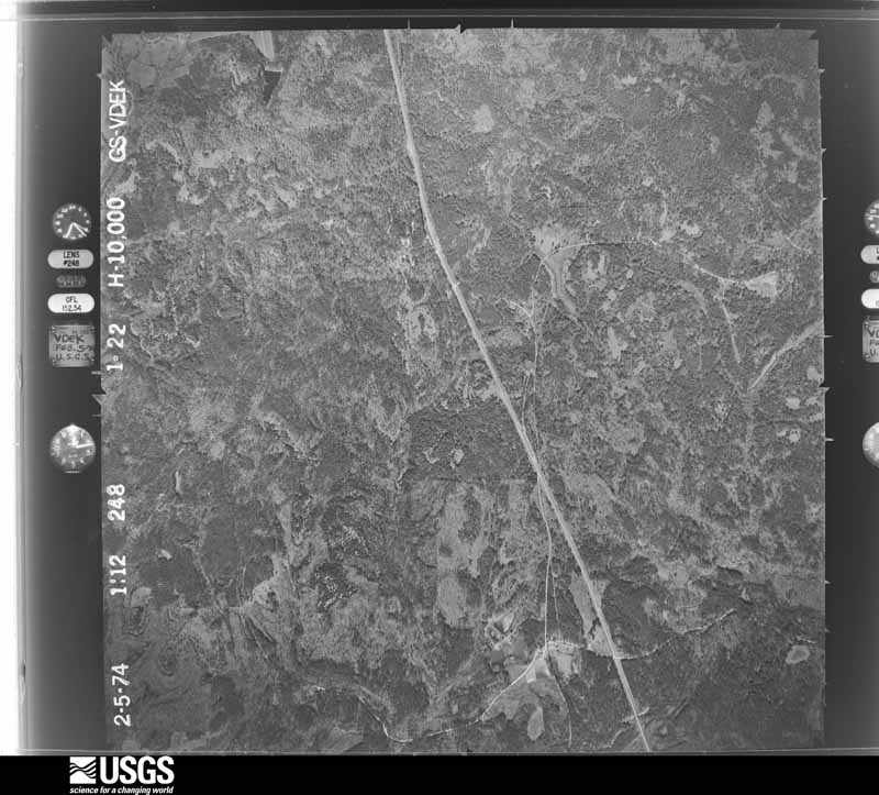
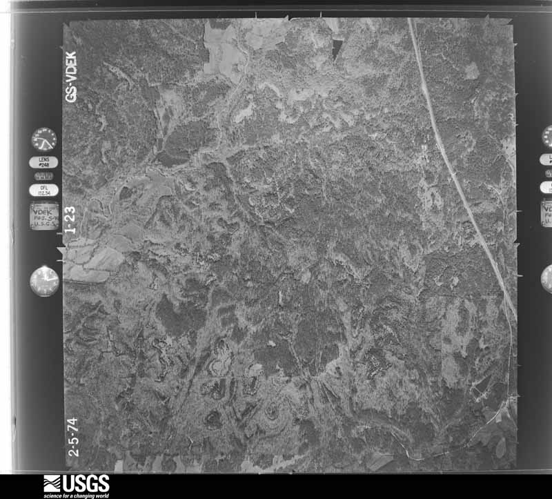
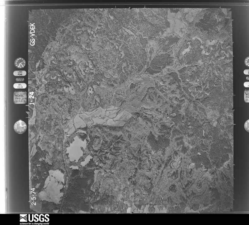
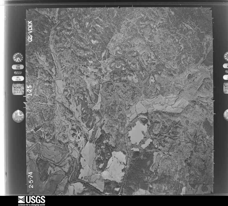
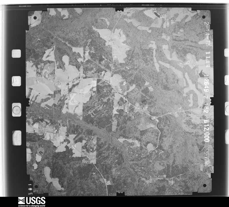
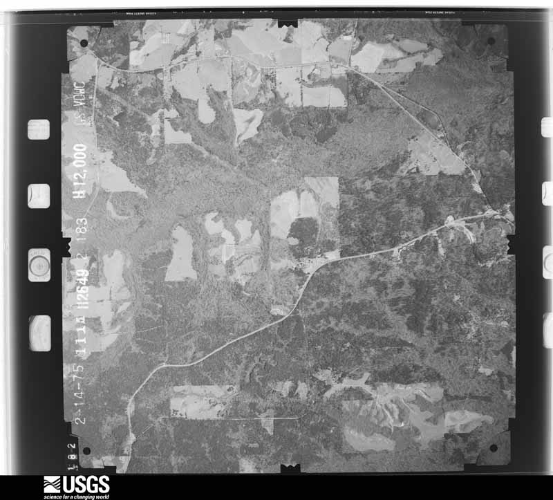
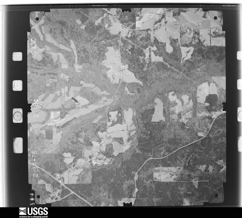
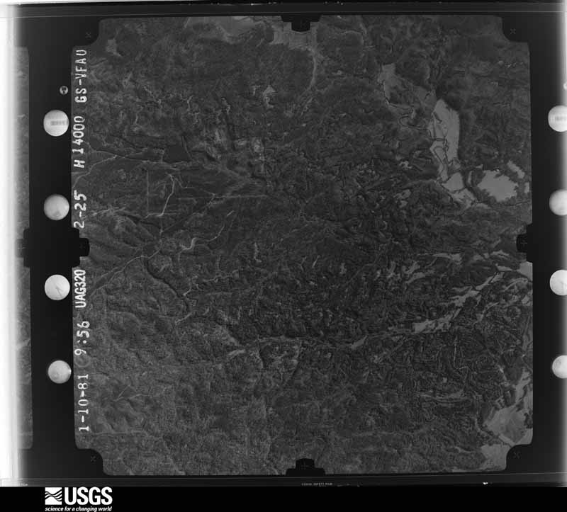
Flown by the U.S. Geological Survey between 1937 and 1989, the Aerial Photo Single Frames collection is the definitive mid-century view of the land: fields, roads and rivers as the camera saw them. The Survey holds 933 frames inside the rectangle that bounds this county; the 30 frames below were taken over the county itself, chosen across the decades of flights (at most four a year from that rectangle), so one flight cannot crowd out the rest. The full set is free to browse and download at EarthExplorer under the dataset Aerial Photo Single Frames.

The thermometers that kept this county's weather, and the gages that measured the flow of its streams, as the federal records hold them. The extremes below are measured values from those records, not estimates.
Who lived here in 1950, one enumeration district at a time, as the Census Bureau described each district. Each row opens its official National Archives result, with Population Schedules and ED Maps available there.
Every wildfire the federal occurrence database records inside this county: 1,091 of them, burning about 9,464 acres. 11 started naturally and 181 were recorded as arson. Each settlement page carries the fires within five miles of it.
| Reported cause | Fires |
|---|---|
| Debris and open burning | 385 |
| Equipment and vehicle use | 213 |
| Arson/incendiarism | 181 |
| Missing data/not specified/undetermined | 167 |
| Recreation and ceremony | 50 |
| Smoking | 44 |
| Railroad operations and maintenance | 21 |
| Misuse of fire by a minor | 12 |
| Natural | 11 |
| Power generation/transmission/distribution | 5 |
| Fireworks | 1 |
| Other causes | 1 |
The five largest, by the area the report gives. Three of them were set deliberately.
| Date | Cause | Size | Reported by | Name on the report |
|---|---|---|---|---|
| 16 February 2015 | Arson/incendiarism | 678 acres | Alabama Forestry Commission | SER-20150216-005 |
| 9 March 2013 | Missing data/not specified/undetermined | 299 acres | Alabama Forestry Commission | SER-20130309-004 |
| 16 February 2015 | Arson/incendiarism | 263 acres | Alabama Forestry Commission | SWR-20150216-003 |
| 4 April 2002 | Debris and open burning | 244 acres | Alabama Forestry Commission | not named |
| 13 October 2007 | Missing data/not specified/undetermined | 200 acres | Alabama Forestry Commission | RMS |
| 5 February 2001 | Arson/incendiarism | 168 acres | Alabama Forestry Commission | not named |
| 3 April 2015 | Missing data/not specified/undetermined | 160 acres | Alabama Forestry Commission | SER-20150403-001 |
| 8 March 1994 | Debris and open burning | 135 acres | Alabama Forestry Commission | not named |
Every settlement page carries the fires within five miles of it - see the settlement index below.
The NOAA Storm Events Database holds 220 reports for this county, causing 4 deaths, 18 injuries and about $4,234,030 in recorded property damage. Each settlement page carries the reports that name it.
| Kind of event | Reports |
|---|---|
| Thunderstorm Wind | 129 |
| Hail | 41 |
| Tornado | 29 |
| Flash Flood | 15 |
| Lightning | 4 |
| Heavy Rain | 1 |
| Flood | 1 |
The most serious of them, by death, then injury, then recorded damage. The accounts are quoted exactly as the forecast office filed them.
| When | Event | Place named | Harm | What the report says |
|---|---|---|---|---|
| April 1969 | Tornado (F4) | not stated | 2 killed, 11 hurt, $250,000 | no account filed |
| December 2012 | Thunderstorm Wind | Georgiana | 1 killed, $35,000 | Winds estimated at 70 mph blew a large pine tree into a house...seriously injured him. The man later died at the hospital the next day. |
| March 2012 | Lightning | Greenville | 1 killed | A 12 year old boy was killed when the tree he was standing under was struck by lightning. |
| November 2001 | Tornado (F1) | Mc Kenzie | 3 hurt, $100,000 | A tornado touched down in a wooded area just north of Odom Crossroads, which is to the west of McKenzie. The tornado then crossed County Road 29, where a mobile home was destroyed. Three occupants of the mobile home were injured. The tornado continued to move toward the northeast over mostly wooded areas, but crossed over County Roads 28 and 8. Tree damage occurred along this portion of the storms path. The tornado eventually crossed US Highway 31 and into a mainly wooded area south of Georgiana. The damage path of the tornado, which was again mostly to trees north of Highway 31, ended near Rocky Creek, where the tornado lifted back into the clouds. |
| March 2012 | Lightning | Georgiana | 2 hurt | Two people struck by lightning one of which was critical. |
| October 2006 | Heavy Rain | Greenville | 1 hurt, $60,000 | Heavy rains caused a roof to collapse on a recently built building near Butler. The roof was not draining properly and the weight of the accumulated rainfall caused to roof to collapse. One person was injured when the roof collapsed. |
| January 2012 | Thunderstorm Wind | Greenville | 1 hurt, $3,000 | Winds estimated at 60 mph damaged a small building resulting in 1 minor injury. |
| March 1998 | Flash Flood | Countywide | $800,000 | no account filed |
| December 2015 | Flood | Searcy | $600,000 | Numerous roads were closed across Butler County for much of December 24th into early Christmas Day. Numerous dirt roads were damaged in the county, along with some minor damage to a few paved roads. |
| April 2005 | Thunderstorm Wind | Chapman | $500,000 | A large microburst from a thunderstorm blew down numerous trees in and around Chapman. Several of the trees fell on homes. One home had thirty four trees blown down in their yard. Luckily none fell on their house. They had just gotten their home repaired from the damage they received from Hurricane Ivan. Another home had a large tree break through their roof. They were asleep and the branches fell into their bedroom. They rushed into another room and the branches fell through the roof there and they were eventually able to escape into the garage. In all about 300 trees were blown down with several homes suffering damage, mostly from fallen trees. No one was injured. |
| June 1957 | Tornado (F2) | not stated | $250,000 | no account filed |
| June 1957 | Tornado (F2) | not stated | $250,000 | no account filed |
| April 2011 | Tornado (EF2) | Greenville Muni Arpt | $150,000 | The tornado touched down at the intersection of Ridge Road and Sherling Lake Road northwest of Greenville, and continued east along Sherling Lake Road strengthening to EF-2 intensity as it passed over the eastern-most sections of the Cambrian Ridge Golf Course. The tornado then crossed the Sherling Lake RV Park snapping numerous pine trees in a 300 to 400 yard wide path. The tornado crossed Highway 263 then lifted west of Highway 185. |
| November 2014 | Tornado (EF1) | Georgiana | $100,000 | The tornado touched down near Norrell Ave. and tracked northeast across Palmer and Veneer Ave. It was at these locations where the tornado reached its peak intensity. Significant tree damage was observed and many power lines were downed. A few sheds and outbuildings were destroyed with minor shingle damage noted to a couple of homes. The tornado tracked northeast across highway 31 and 106, producing sporadic tree damage. The tornado lifted near Bushy Creek Drive and Mccall Road. Prior to lifting the tornado produced minor damage to a couple of mobile homes and two cars were heavily damaged by trees. |
| April 2011 | Tornado (EF1) | Butler Spgs | $90,000 | Roof blown off of a mobile home and a tree was blown over onto a house. Several homes sustained damage to shingles. Numerous trees blown over along the tornado path. |
| April 2014 | Thunderstorm Wind | Butler Spgs | $50,000 | The NWS survey team found evidence consistent with damaging macroburst winds from a severe thunderstorm that moved across the northwestern part of Butler County. Most of the damage occurred south of Highway 10 along South Shackelville Road...where numerous trees were snapped or uprooted and there was minor to moderate damage noted to a few structures. A large tree fell into a residence. |
| March 2001 | Thunderstorm Wind | Oaky Streak | $50,000 | High winds from a line of thunderstorms that had moved out of Covington county, blew down several hundred mature pine trees. The damage was along County Road 59 south of Oaky Streak. The "Bow Echo" that caused the high winds then weakened as it moved east and northeast. |
| July 1994 | Thunderstorm Wind | Greenville | $50,000 | High winds with a thunderstorm raked the Kolb City area of Greenville downing a number of trees. One tree fell on a house causing extensive damage to the roof of one corner. |
| June 2018 | Thunderstorm Wind | Wald | $30,000 | Winds estimated at 70 mph downed numerous trees throughout the county. Two mobile homes were completely destroyed by falling trees. |
| April 2009 | Thunderstorm Wind | Greenville | $30,000 | Winds estimated at 70 mph downed a 2 foot diameter oak tree onto a single wide mobile home and split it in half. |
| November 2001 | Tornado (F0) | Georgiana | $30,000 | A weak tornado moved nearly 3 miles across mostly wooded areas to the west of Georgiana. Most of the damage along the path of the tornado was to trees. The tornado first touched down near County Road 16 near Panther Creek. From there the tornado moved northeast, crossing State Road 106, at which point some minor structural damage occurred to a church. The tornado then passed near the intersection of County Roads 25 and 37. Shortly thereafter, the tornado lifted back up into the cloud. |
| March 2016 | Thunderstorm Wind | Garland | $25,000 | Winds estimated at 70 mph damaged 3 to 4 houses and downed several trees in the area. |
| July 2007 | Thunderstorm Wind | Greenville | $25,000 | High winds from a thunderstorm damaged a radio tower and knocked the station off the air. |
| May 2003 | Thunderstorm Wind | Greenville | $25,000 | High thunderstorm winds blew down several trees and power lines near Greenville. One of the trees fell on on a house, producing minor roof damage. |
| February 2008 | Thunderstorm Wind | Greenville | $25,000 | no account filed |
| November 1979 | Tornado (F2) | not stated | $25,000 | no account filed |
| October 1964 | Tornado (F1) | not stated | $25,000 | no account filed |
| December 1964 | Tornado (F2) | not stated | $25,000 | no account filed |
| January 2017 | Thunderstorm Wind | Georgiana | $20,000 | A home's roof was damaged. Numerous trees and power lines were blown down with one tree falling onto a car. |
| April 2014 | Thunderstorm Wind | Wald | $20,000 | The NWS survey team found evidence consistent with microburst wind damage from a severe thunderstorm. The storm tracked to the east at 45 mph. Most of the damage was noted near Sirmon Road. A few trees in saturated ground were uprooted...and some large branches were also snapped which caused moderate damage to a barn. |
| April 2014 | Thunderstorm Wind | Greenville Muni Arpt | $20,000 | The NWS survey team found evidence consistent with microburst wind damage from a severe thunderstorm. The storm tracked to the east at 45 mph. Most of the damage was located in the vicinity of the DOT along State Highway 185...where numerous large trees were snapped or uprooted and damage to several structures were noted...including the collapse of a storage outbuilding. |
| March 2007 | Tornado (EF0) | Industry | $20,000 | A weak tornado blew down several trees east of Georgiana. A tractor trailer was blown off State Highway 106 by the wind. |
| October 2007 | Tornado (EF0) | Georgiana | $20,000 | A weak tornado briefly touched down near I-65 and State Highway 106. The tornado blew down several trees and power lines. |
| October 2001 | Thunderstorm Wind | Greenville | $20,000 | High winds, along the leading edge of a squall line, blew down several trees and power lines from Greenville to McKenzie. |
| June 1998 | Thunderstorm Wind | Georgiana | $20,000 | Trees and power lines were blown down between Georgiana and Greenville. Wind speeds in the Georgiana area were estimated above 50 mph. |
| March 2019 | Tornado (EF1) | Searcy | $15,000 | The tornado formed and damaged an outbuilding near the intersection of Kirkville Road and Steiner Store Road before continuing northeast into a wooded area, where numerous trees were snapped and uprooted. The tornado then crossed Kirkville Road and partially lifted the roof off a one story brick home before dissipating shortly thereafter. |
| January 2017 | Thunderstorm Wind | Mc Kenzie | $15,000 | Numerous trees and power lines were downed in and around McKenzie. A home on Elizabeth Street was damaged due to fallen trees. A home on Garland Road suffered minor damage from a fallen tree. |
| March 2016 | Thunderstorm Wind | Mc Kenzie | $15,000 | Straight line winds resulted in a large tree being uprooted and landing on a mobile home. Several other trees were downed in the same general area. |
| December 2012 | Thunderstorm Wind | Greenville | $15,000 | Winds estimated at 70 mph caused a modular home porch to be blown off and roof peeled off. Several trees and power lines were also downed in the area. |
| May 1998 | Thunderstorm Wind | Greenville | $15,000 | The county sheriff's office estimated thunderstorm winds near 80 mph in the community with reports of several trees down and some homes suffered window damage. |
| February 2008 | Thunderstorm Wind | Forest Home | $15,000 | no account filed |
| October 2007 | Thunderstorm Wind | Georgiana | $15,000 | no account filed |
| June 2008 | Thunderstorm Wind | Georgiana | $12,000 | Several trees and powerlines were downed by wind gusts estimated at 60 mph. |
| January 2007 | Thunderstorm Wind | Greenville | $12,000 | High winds from a thunderstorm blew down several trees and power lines near Greenville. |
| August 2007 | Thunderstorm Wind | Greenville | $12,000 | High winds from a thunderstorm blew down several trees near Greenville. |
| April 2019 | Thunderstorm Wind | Greenville | $10,000 | High winds downed multiple trees in and around Greenville. |
| October 2017 | Tornado (EF0) | Searcy | $10,000 | A brief EF-0 tornado touched down in far northeast Butler County on County Road 75. The tornado moved northwest and lifted just east of Highway 31. The tornado produced sporadic tree damage along its path and damage to a metal roof of a residence. |
| April 2014 | Thunderstorm Wind | Greenville | $10,000 | A porch was blown off of a residence and a tree was blown onto a police car. Many trees were reported down throughout the county. |
| December 2012 | Thunderstorm Wind | Georgiana | $10,000 | Winds estimated at 70 mph downed several trees and power lines along County Road 24 and County Road 45. |
| December 2012 | Thunderstorm Wind | Greenville | $10,000 | Winds estimated at 70 mph destroyed a barn. |
| June 2007 | Thunderstorm Wind | Greenville | $10,000 | Strong thunderstorm winds blew down trees in Greenville. |
| April 2006 | Thunderstorm Wind | Greenville | $10,000 | High winds from a thunderstorm blew down several trees and power lines near Greenville. |
| March 2001 | Thunderstorm Wind | Forest Home | $10,000 | Trees and power lines were blown down by high thunderstorm winds just south of Forest Home. |
| October 2001 | Thunderstorm Wind | Greenville | $10,000 | High winds blew down several trees east of Greenville. |
| November 2001 | Tornado (F0) | Garland | $10,000 | A weak tornado briefly touched down, uprooting a few trees near the community of Grace, which is to the northwest of Garland. |
| November 2001 | Flash Flood | Greenville | $10,000 | A small earthen dam broke west of Greenville. The dam was located near Highway 10, just to the west of Interstate 65. Some side roads in the area were closed. |
| March 2000 | Thunderstorm Wind | Greenville | $10,000 | Thunderstorm winds blew down trees and power lines just west of the community along State Highway 10. |
| March 1999 | Thunderstorm Wind | Mc Kenzie | $10,000 | High winds caused minor damage to some homes and businesses near McKenzie. There were also a few trees blown down in the area. No one was injured. |
| May 1998 | Hail | Mc Kenzie | $10,000 | Baseball size hail was reported in the community. The hail damaged several vehicles where the large hail fell. |
| October 1995 | Tornado (F0) | Georgiana | $10,000 | A tornado briefly touched down near Georgiana. Trees and power lines were blown down. |
The Survey's mineral resources record lists 206 workings inside this county. None of them still produces: all are closed or unrecorded. Each settlement page carries the workings within five miles of it.
| Commodity | Workings |
|---|---|
| Iron | 204 |
| Clay | 2 |
The least common of them first, because a county's hundredth gravel pit says nothing its first ten did not.
| Where | Site | Commodity | Status | Recorded |
|---|---|---|---|---|
| But 5 Clay Prospect | Clay | Prospect | ||
| But 6 Clay Prospect | Clay | Prospect | ||
| Butler County Brown Iron Ore Deposit | Iron | Past Producer | 1929 | |
| Carl F Parrish Prospect | Iron | Prospect | ||
| Joe P Henderson Prospect | Iron | Prospect | ||
| R E Smith Prospect | Iron | Prospect | ||
| Unnamed | Iron | Unknown | ||
| Unnamed | Iron | Unknown | ||
| Unnamed | Iron | Unknown | ||
| Unnamed | Iron | Unknown | ||
| Unnamed | Iron | Unknown | ||
| Unnamed | Iron | Unknown | ||
| Unnamed | Iron | Unknown | ||
| Unnamed | Iron | Unknown | ||
| Unnamed | Iron | Unknown | ||
| Unnamed | Iron | Unknown | ||
| Unnamed | Iron | Unknown | ||
| Unnamed | Iron | Unknown | ||
| Unnamed | Iron | Unknown | ||
| Unnamed | Iron | Unknown | ||
| Unnamed | Iron | Unknown | ||
| Unnamed | Iron | Unknown | ||
| Unnamed | Iron | Unknown | ||
| Unnamed | Iron | Unknown | ||
| Unnamed | Iron | Unknown | ||
| Unnamed | Iron | Unknown | ||
| Unnamed | Iron | Unknown | ||
| Unnamed | Iron | Unknown | ||
| Unnamed | Iron | Unknown | ||
| Unnamed | Iron | Unknown | ||
| Unnamed | Iron | Unknown | ||
| Unnamed | Iron | Unknown | ||
| Unnamed | Iron | Unknown | ||
| Unnamed | Iron | Unknown | ||
| Unnamed | Iron | Unknown | ||
| Unnamed | Iron | Unknown | ||
| Unnamed | Iron | Unknown | ||
| Unnamed | Iron | Unknown | ||
| Unnamed | Iron | Unknown | ||
| Unnamed | Iron | Unknown | ||
| Unnamed | Iron | Unknown | ||
| Unnamed | Iron | Unknown | ||
| Unnamed | Iron | Unknown | ||
| Unnamed | Iron | Unknown | ||
| Unnamed | Iron | Unknown | ||
| Unnamed | Iron | Unknown | ||
| Unnamed | Iron | Unknown | ||
| Unnamed | Iron | Unknown | ||
| Unnamed | Iron | Unknown | ||
| Unnamed | Iron | Unknown | ||
| Unnamed | Iron | Unknown | ||
| Unnamed | Iron | Unknown | ||
| Unnamed | Iron | Unknown | ||
| Unnamed | Iron | Unknown | ||
| Unnamed | Iron | Unknown | ||
| Unnamed | Iron | Unknown | ||
| Unnamed | Iron | Unknown | ||
| Unnamed | Iron | Unknown | ||
| Unnamed | Iron | Unknown | ||
| Unnamed | Iron | Unknown | ||
| Unnamed | Iron | Unknown | ||
| Unnamed | Iron | Unknown | ||
| Unnamed | Iron | Unknown | ||
| Unnamed | Iron | Unknown | ||
| Unnamed | Iron | Unknown | ||
| Unnamed | Iron | Unknown | ||
| Unnamed | Iron | Unknown | ||
| Unnamed | Iron | Unknown | ||
| Unnamed | Iron | Unknown | ||
| Unnamed | Iron | Unknown | ||
| Unnamed | Iron | Unknown | ||
| Unnamed | Iron | Unknown | ||
| Unnamed | Iron | Unknown | ||
| Unnamed | Iron | Unknown | ||
| Unnamed | Iron | Unknown | ||
| Unnamed | Iron | Unknown | ||
| Unnamed | Iron | Unknown | ||
| Unnamed | Iron | Unknown | ||
| Unnamed | Iron | Unknown | ||
| Unnamed | Iron | Unknown | ||
| Unnamed | Iron | Unknown | ||
| Unnamed | Iron | Unknown | ||
| Unnamed | Iron | Unknown | ||
| Unnamed | Iron | Unknown | ||
| Unnamed | Iron | Unknown | ||
| Unnamed | Iron | Unknown | ||
| Unnamed | Iron | Unknown | ||
| Unnamed | Iron | Unknown | ||
| Unnamed | Iron | Unknown | ||
| Unnamed | Iron | Unknown | ||
| Unnamed | Iron | Unknown | ||
| Unnamed | Iron | Unknown | ||
| Unnamed | Iron | Unknown | ||
| Unnamed | Iron | Unknown | ||
| Unnamed | Iron | Unknown | ||
| Unnamed | Iron | Unknown | ||
| Unnamed | Iron | Unknown | ||
| Unnamed | Iron | Unknown | ||
| Unnamed | Iron | Unknown | ||
| Unnamed | Iron | Unknown | ||
| Unnamed | Iron | Unknown | ||
| Unnamed | Iron | Unknown | ||
| Unnamed | Iron | Unknown | ||
| Unnamed | Iron | Unknown | ||
| Unnamed | Iron | Unknown | ||
| Unnamed | Iron | Unknown | ||
| Unnamed | Iron | Unknown | ||
| Unnamed | Iron | Unknown | ||
| Unnamed | Iron | Unknown | ||
| Unnamed | Iron | Unknown | ||
| Unnamed | Iron | Unknown | ||
| Unnamed | Iron | Unknown | ||
| Unnamed | Iron | Unknown | ||
| Unnamed | Iron | Unknown | ||
| Unnamed | Iron | Unknown | ||
| Unnamed | Iron | Unknown | ||
| Unnamed | Iron | Unknown | ||
| Unnamed | Iron | Unknown | ||
| Unnamed | Iron | Unknown | ||
| Unnamed | Iron | Unknown | ||
| Unnamed Mine | Iron | Past Producer | ||
| Unnamed Mine | Iron | Past Producer | ||
| Unnamed Mine | Iron | Past Producer | ||
| Unnamed Mine | Iron | Past Producer | ||
| Unnamed Mine | Iron | Past Producer | ||
| Unnamed Mine | Iron | Past Producer | ||
| Unnamed Mine | Iron | Past Producer | ||
| Unnamed Mine | Iron | Past Producer | ||
| Unnamed Mine | Iron | Past Producer | ||
| Unnamed Mine | Iron | Past Producer | ||
| Unnamed Mine | Iron | Past Producer | ||
| Unnamed Mine | Iron | Past Producer | ||
| Unnamed Mine | Iron | Past Producer | ||
| Unnamed Mine | Iron | Past Producer | ||
| Unnamed Mine | Iron | Past Producer | ||
| Unnamed Mine | Iron | Past Producer | ||
| Unnamed Mine | Iron | Past Producer | ||
| Unnamed Mine | Iron | Past Producer | ||
| Unnamed Mine | Iron | Past Producer | ||
| Unnamed Mine | Iron | Past Producer | ||
| Unnamed Mine | Iron | Past Producer | ||
| Unnamed Mine | Iron | Past Producer | ||
| Unnamed Mine | Iron | Past Producer | ||
| Unnamed Mine | Iron | Past Producer | ||
| Unnamed Mine | Iron | Past Producer | ||
| Unnamed Mine | Iron | Past Producer | ||
| Unnamed Mine | Iron | Past Producer | ||
| Unnamed Mine | Iron | Past Producer | ||
| Unnamed Mine | Iron | Past Producer | ||
| Unnamed Mine | Iron | Past Producer | ||
| Unnamed Mine | Iron | Past Producer | ||
| Unnamed Mine | Iron | Past Producer | ||
| Unnamed Mine | Iron | Past Producer | ||
| Unnamed Mine | Iron | Past Producer | ||
| Unnamed Mine | Iron | Past Producer | ||
| Unnamed Mine | Iron | Past Producer | ||
| Unnamed Mine | Iron | Past Producer | ||
| Unnamed Mine | Iron | Past Producer | ||
| Unnamed Mine | Iron | Past Producer | ||
| Unnamed Mine | Iron | Past Producer | ||
| Unnamed Mine | Iron | Past Producer | ||
| Unnamed Mine | Iron | Past Producer | ||
| Unnamed Mine | Iron | Past Producer | ||
| Unnamed Mine | Iron | Past Producer | ||
| Unnamed Mine | Iron | Past Producer | ||
| Unnamed Mine | Iron | Past Producer | ||
| Unnamed Mine | Iron | Past Producer | ||
| Unnamed Mine | Iron | Past Producer | ||
| Unnamed Mine | Iron | Past Producer | ||
| Unnamed Mine | Iron | Past Producer | ||
| Unnamed Mine | Iron | Past Producer | ||
| Unnamed Mine | Iron | Past Producer | ||
| Unnamed Mine | Iron | Past Producer | ||
| Unnamed Mine | Iron | Past Producer | ||
| Unnamed Mine | Iron | Past Producer | ||
| Unnamed Mine | Iron | Past Producer | ||
| Unnamed Mine | Iron | Past Producer | ||
| Unnamed Mine | Iron | Past Producer | ||
| Unnamed Mine | Iron | Past Producer | ||
| Unnamed Prospect | Iron | Occurrence | ||
| Unnamed Prospect | Iron | Occurrence | ||
| Unnamed Prospect | Iron | Occurrence | ||
| Unnamed Prospect | Iron | Occurrence | ||
| Unnamed Prospect | Iron | Occurrence | ||
| Unnamed Prospect | Iron | Occurrence | ||
| Unnamed Prospect | Iron | Occurrence | ||
| Unnamed Prospect | Iron | Occurrence | ||
| Unnamed Prospect | Iron | Occurrence | ||
| Unnamed Prospect | Iron | Occurrence | ||
| Unnamed Prospect | Iron | Occurrence | ||
| Unnamed Prospect | Iron | Occurrence | ||
| Unnamed Prospect | Iron | Occurrence | ||
| Unnamed Prospect | Iron | Occurrence | ||
| Unnamed Prospect | Iron | Occurrence | ||
| Unnamed Prospect | Iron | Occurrence | ||
| Unnamed Prospect | Iron | Occurrence | ||
| Unnamed Prospect | Iron | Occurrence | ||
| Unnamed Prospect | Iron | Occurrence | ||
| Unnamed Prospect | Iron | Occurrence | ||
| Unnamed Prospect | Iron | Occurrence | ||
| Unnamed Prospect | Iron | Occurrence | ||
| Unnamed Prospect | Iron | Occurrence | ||
| Unnamed Prospect | Iron | Occurrence | ||
| Unnamed Prospect | Iron | Occurrence | ||
| Unnamed Prospect | Iron | Occurrence | ||
| Unnamed Prospect | Iron | Occurrence |
One book written about this county, cut here where the book itself is cut, at its printed chapters: 36 chapters in all. Every chapter is public domain, machine-read from the scan and reproduced complete. A chapter already given under one of the county's towns is not repeated in this list.
Named settlements recorded in the Geographic Names Information System, each with the topographic sheets covering it. Villages, hamlets and abandoned places alike. Each is shown with the nearest named watercourse or landform and the survey quadrangle it falls on. The 2 places that were also surveyed for fire insurance come first, with the number of atlases and photographs held for them.
Georgiana-McKenzie census division · 36033 · Georgiana East quadrangle
9 sheets, 1953 to 1986
Fire insurance: 3 atlases
Greenville census division · 36037 · On Tanyard Branch · Greenville East quadrangle
8 sheets, 1953 to 1986
Fire insurance: 8 atlases
Chapman census division · 36037 · On Arnold Branch · Georgiana East quadrangle
9 sheets, 1953 to 1986
Chapman census division · 36033 · On Martin Creek · Georgiana East quadrangle
9 sheets, 1953 to 1986
Greenville census division · 36042 · On Mill Branch · Danielsville quadrangle
7 sheets, 1953 to 1986
Chapman census division · 36033 · On Martin Creek · Georgiana East quadrangle
9 sheets, 1953 to 1986
Greenville census division · 36037 · On Nannie Branch · Greenville East quadrangle
8 sheets, 1953 to 1986
Greenville census division · 36037 · On Hard Labor Creek · Pigeon Creek quadrangle
7 sheets, 1953 to 1986
Forest Home census division · 36030 · Pine Apple North quadrangle
7 sheets, 1953 to 1986
Georgiana-McKenzie census division · 36456 · On Long Creek · Garland quadrangle
8 sheets, 1953 to 1986
Georgiana-McKenzie census division · 36456 · Garland quadrangle
8 sheets, 1953 to 1986
Forest Home census division · 36037 · Greenville West quadrangle
8 sheets, 1953 to 1986
Georgiana-McKenzie census division · 36456 · On Rocky Creek · McKenzie quadrangle
8 sheets, 1953 to 1986
Chapman census division · 36037 · On Sulphur Branch · Greenville West quadrangle
8 sheets, 1953 to 1986
Forest Home census division · 36030 · On Black Branch · Forest Home quadrangle
7 sheets, 1953 to 1986
Georgiana-McKenzie census division · 36033 · On Brushy Creek · McKenzie quadrangle
8 sheets, 1953 to 1986
8 topographic sheets and 8 fire insurance atlases, 1884 to 1941
9 topographic sheets and 3 fire insurance atlases, 1916 to 1927
The complete index, with nothing left out. Each of these is a separate record with its own page: a federal survey report, or the case file that argued a property on to the National Register. Both are public domain and reproduced word for word.