 Block
From the record
1 National Register listing published here.
Sources: the National Register database, National Park Service
88 topographic sheets cover 115 settlements here, and 1 property is on the National Register of Historic Places.
1 National Register listing published here.
Sources: the National Register database, National Park Service
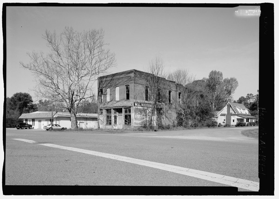
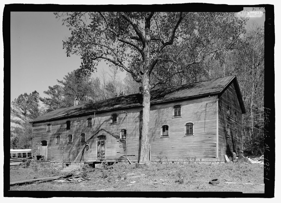
Taken for the Office of War Information and the Farm Security Administration, who photographed the country between 1935 and 1944. Works of United States government photographers, with no known restriction on use. Each opens its catalogue record.
Every property in this county listed on the National Register of Historic Places, with the year it was listed and the federal nomination document.
| Photograph | Property | Type | Listed | Reference |
|---|---|---|---|---|
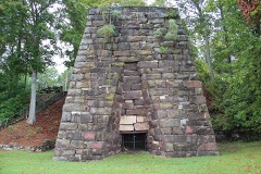 | Cornwall Furnace | structure | 1972 | 72000158 |
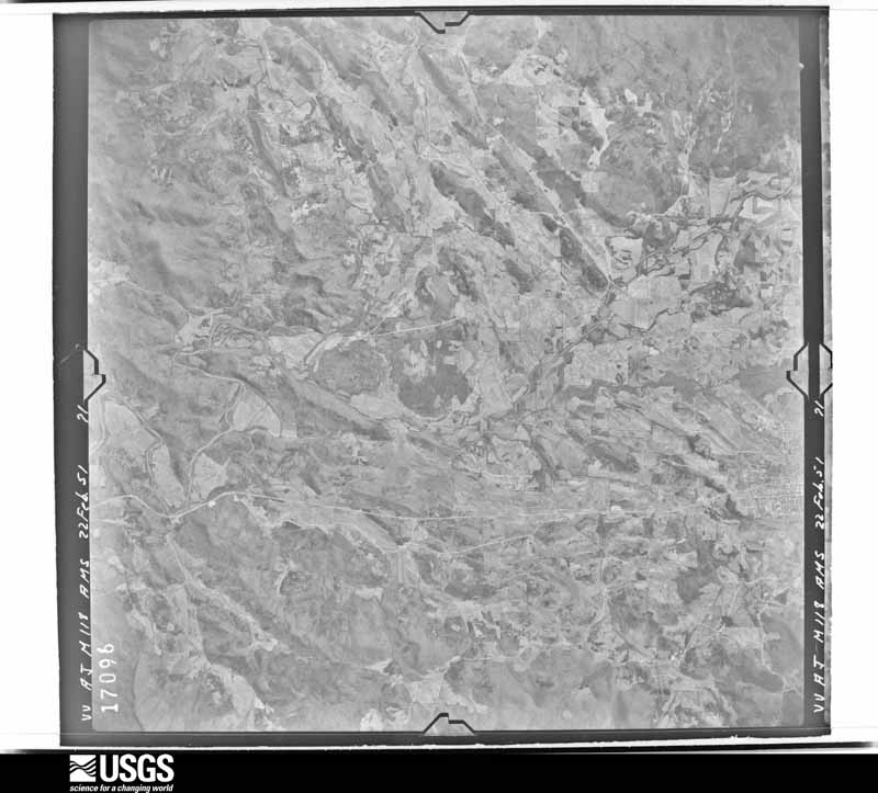
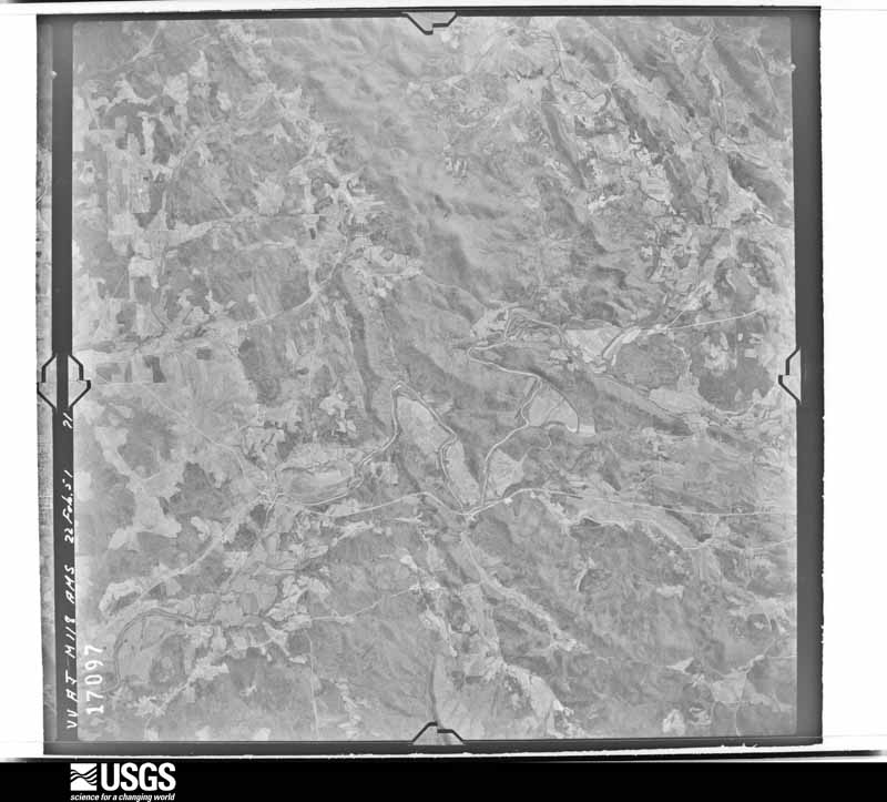
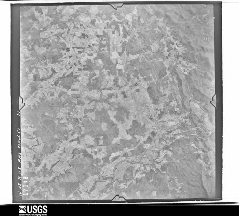
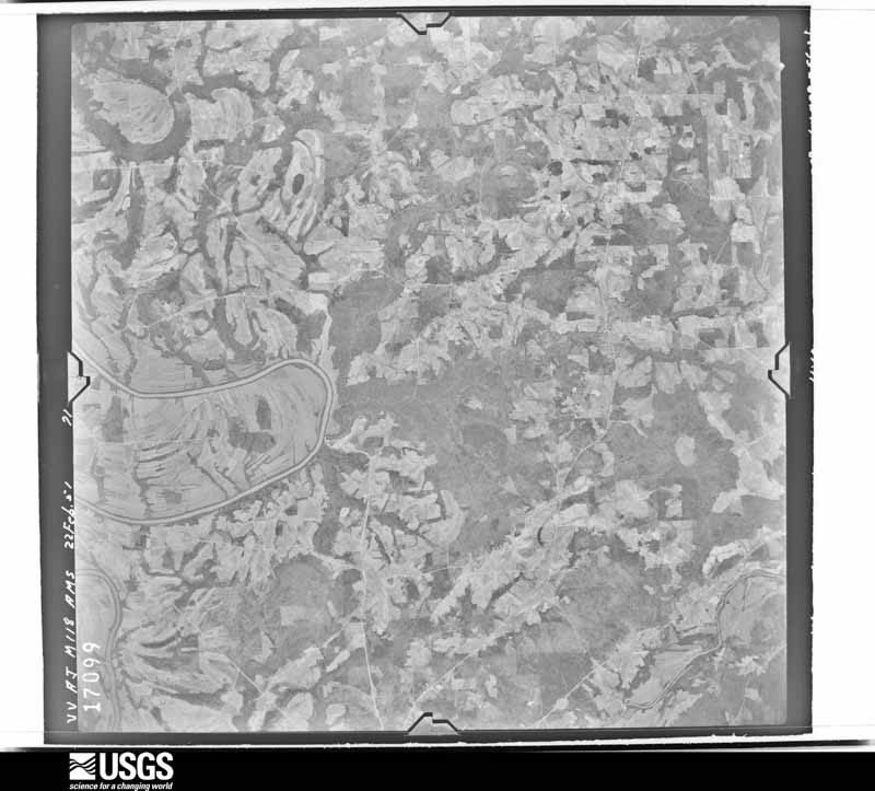
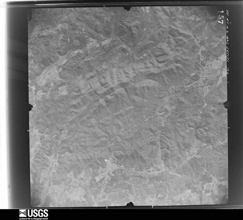
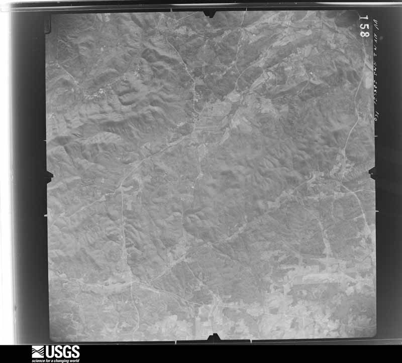
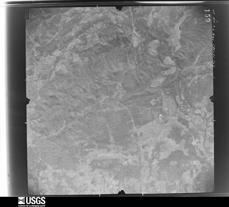
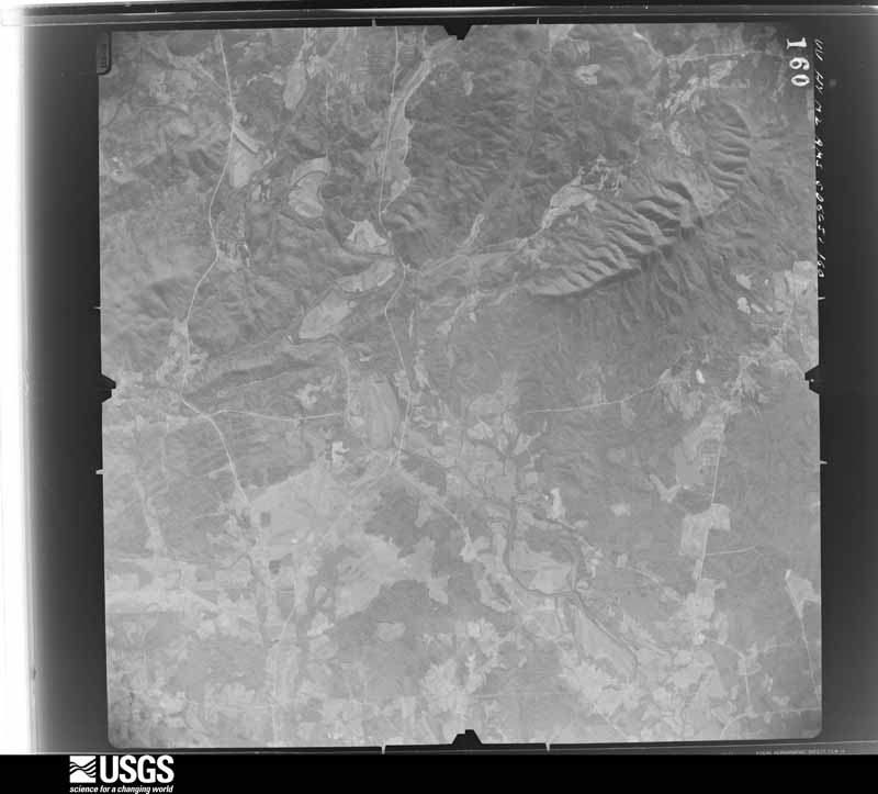
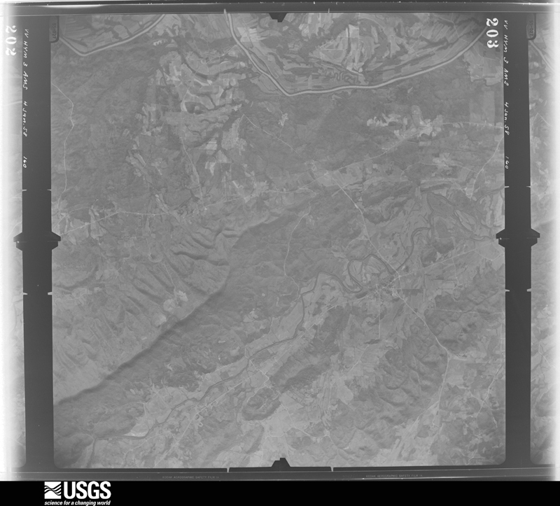
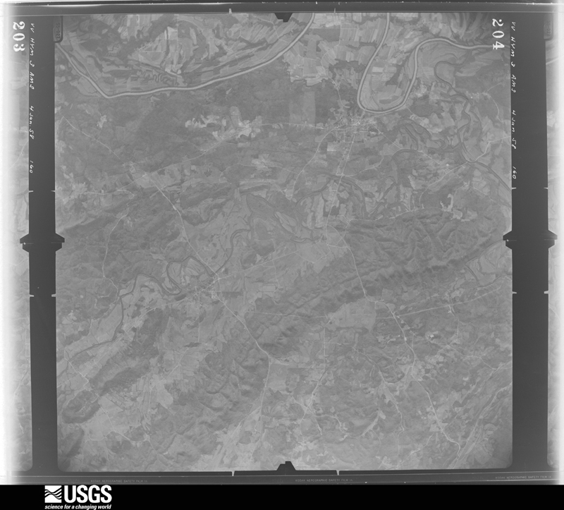
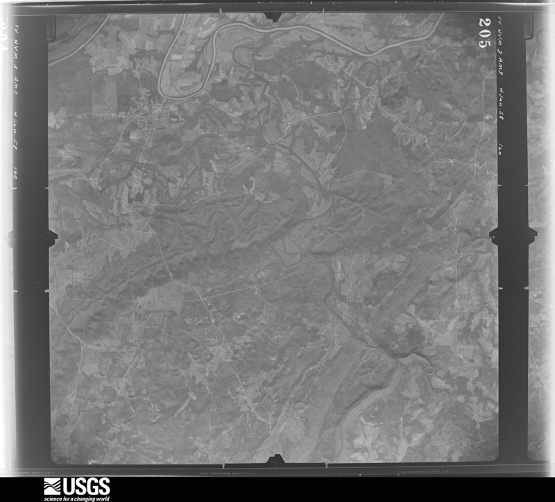
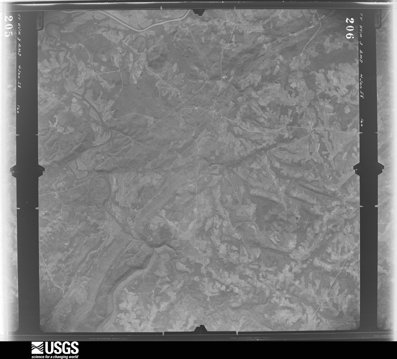
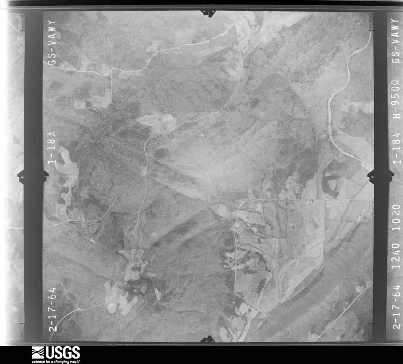
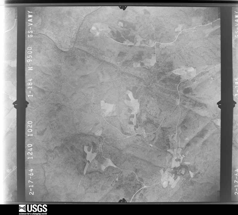
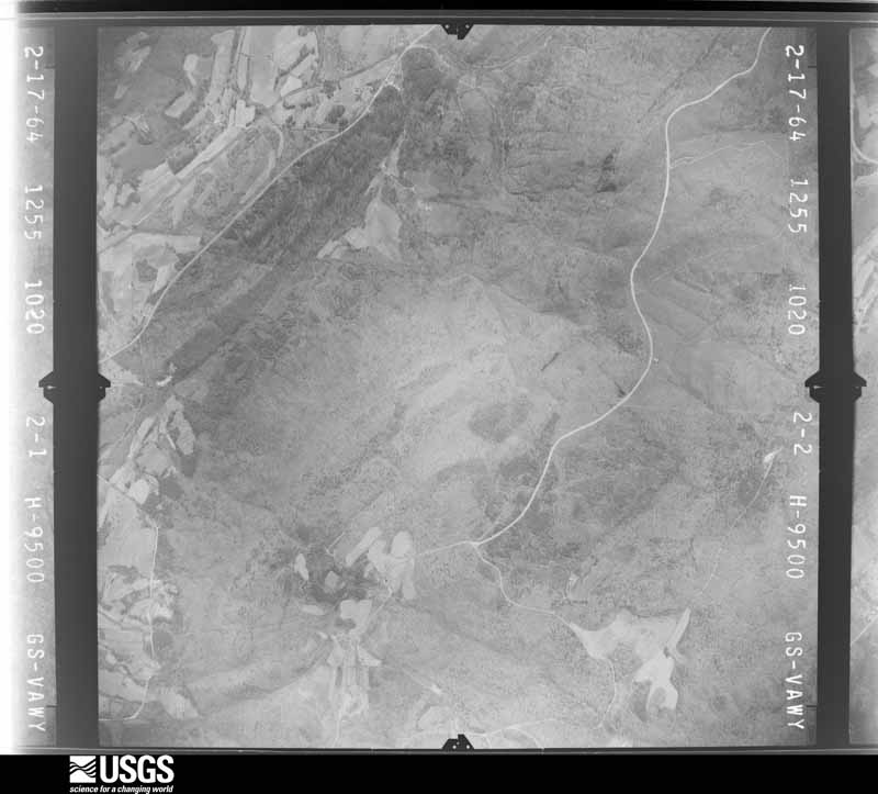
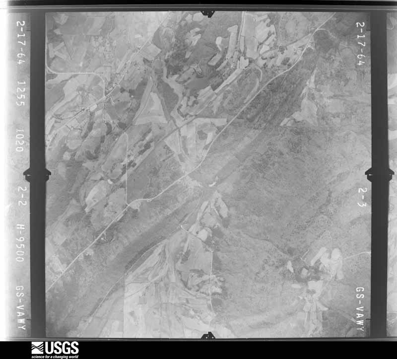
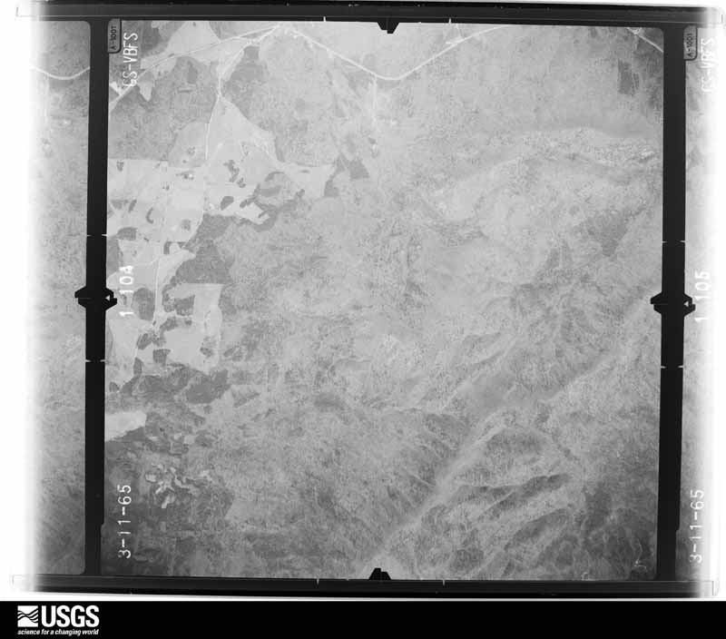
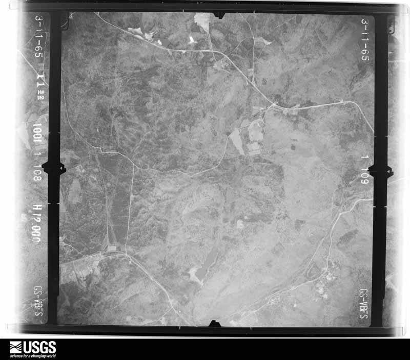
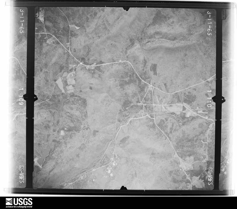
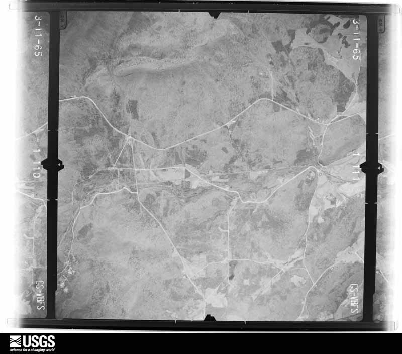
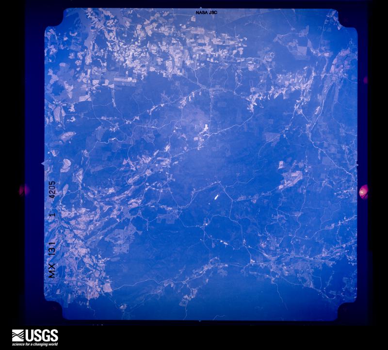
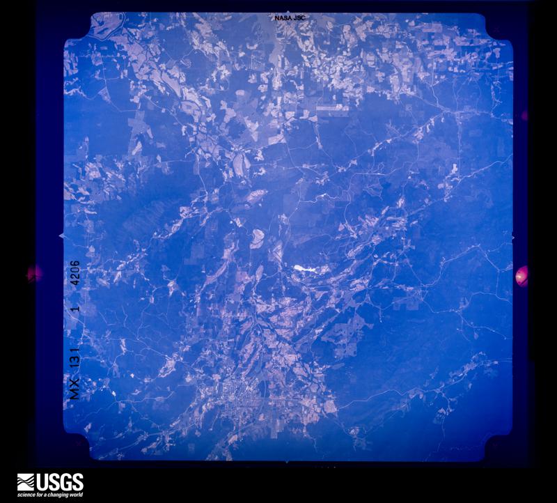
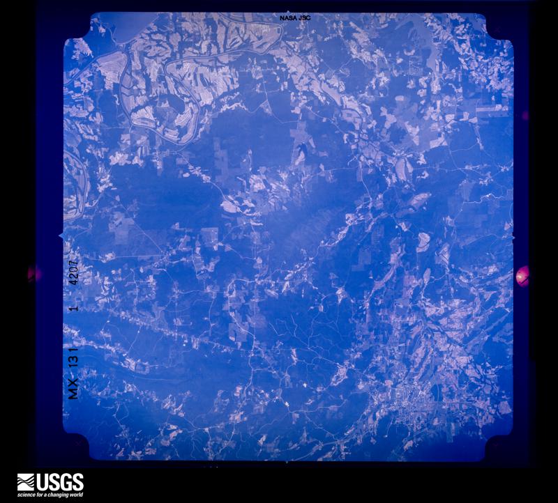
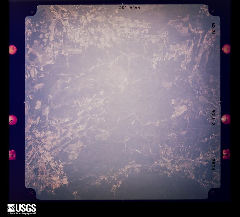
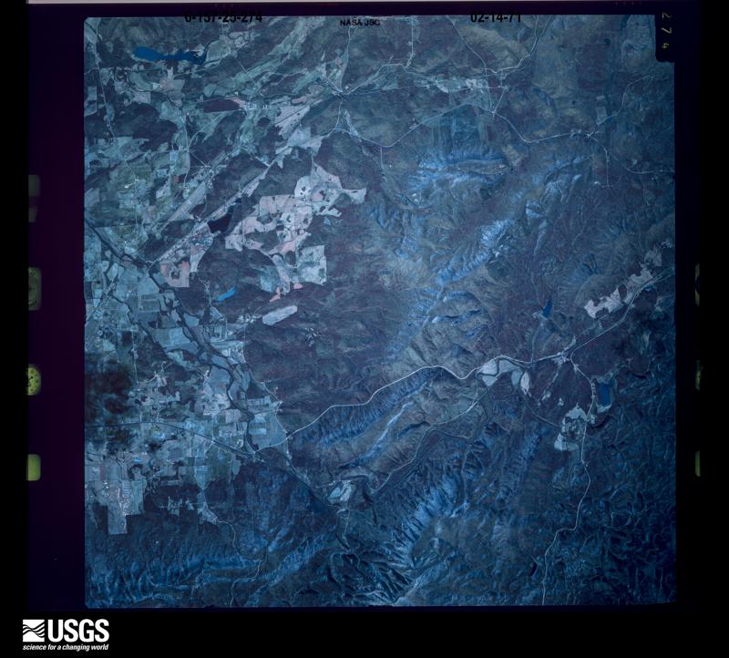
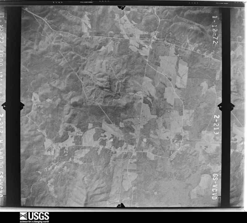
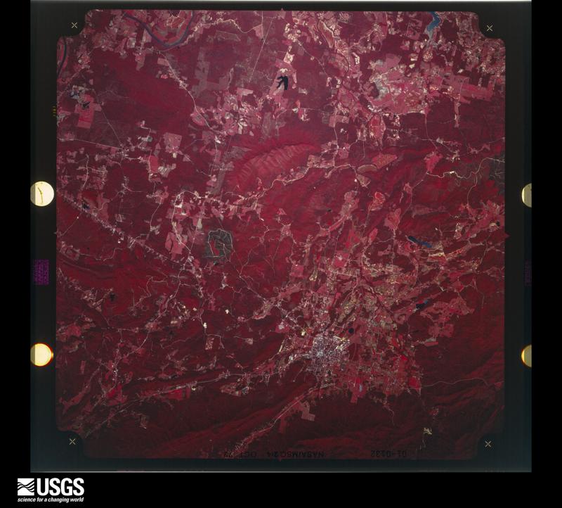
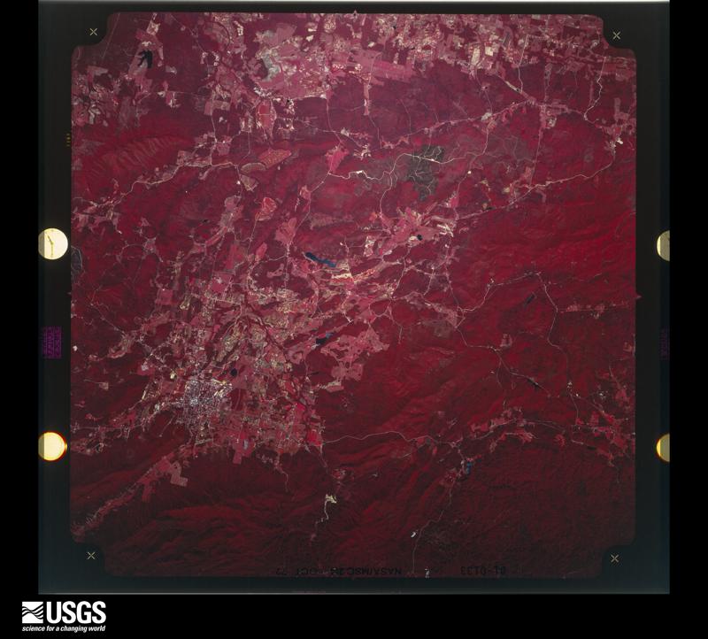
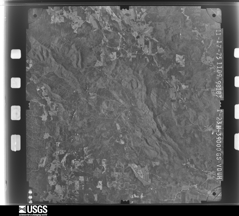
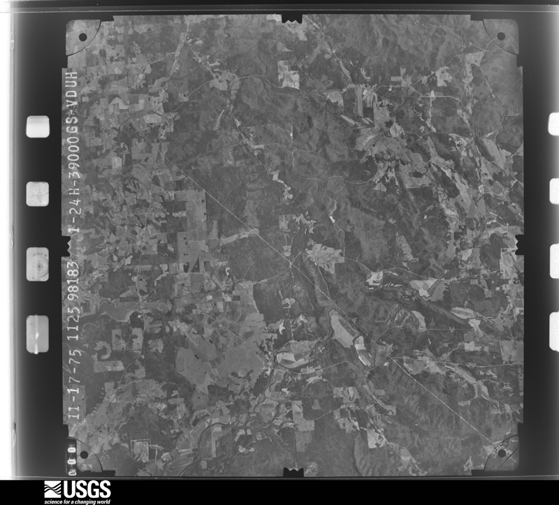
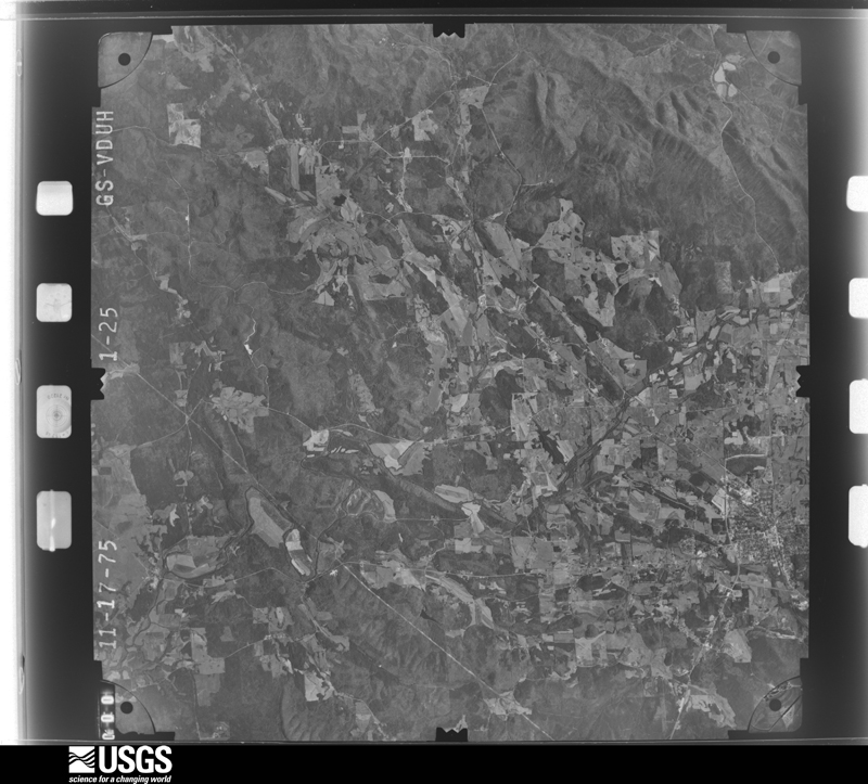
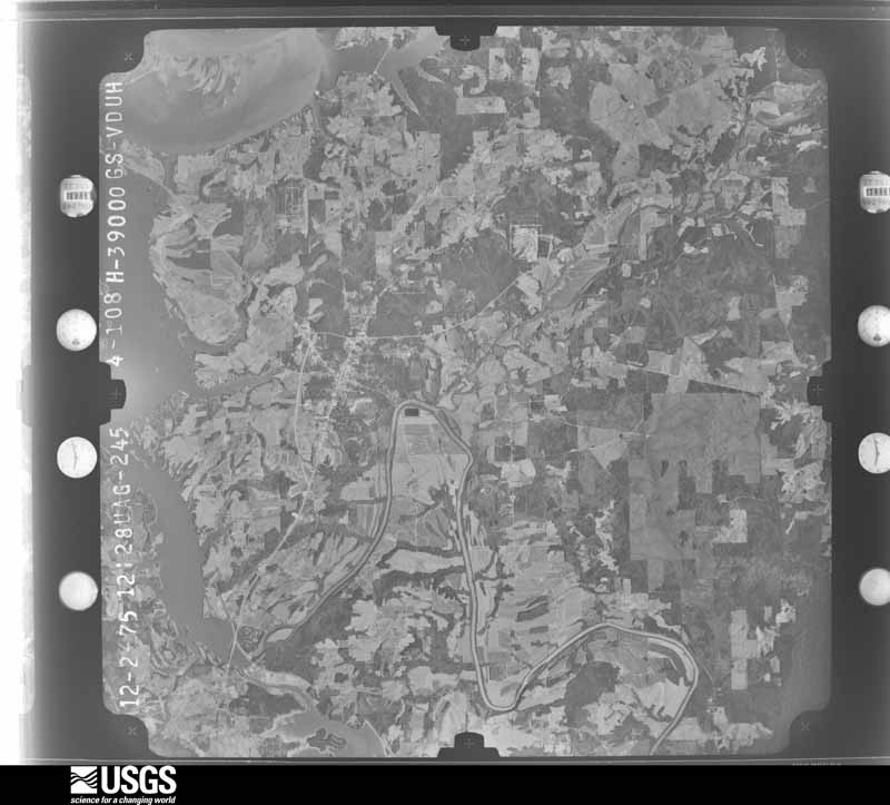
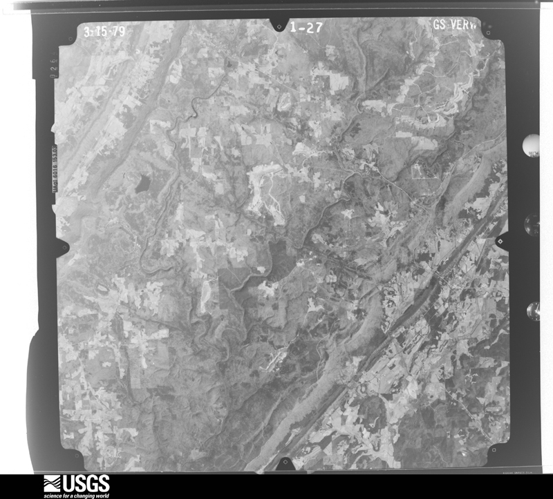
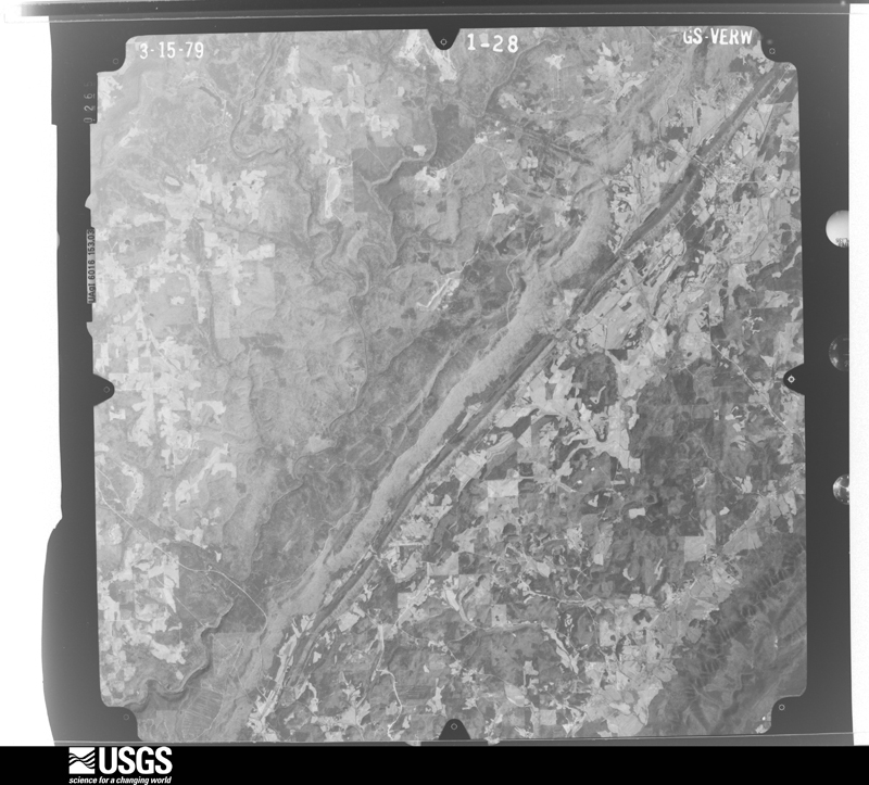
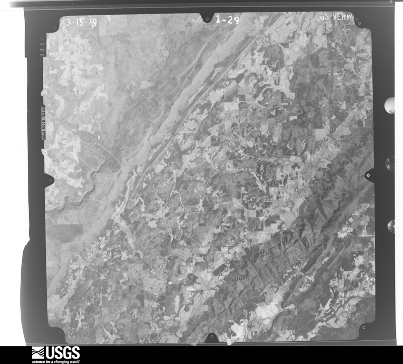
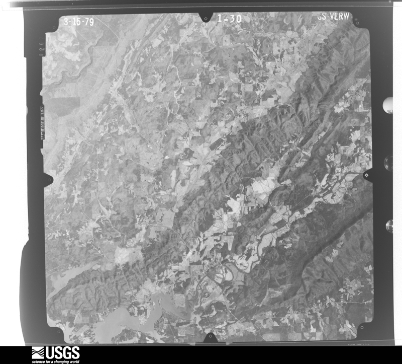
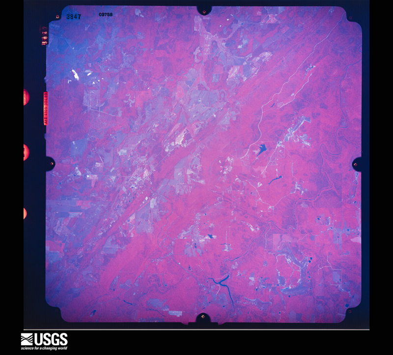
Flown by the U.S. Geological Survey between 1937 and 1989, the Aerial Photo Single Frames collection is the definitive mid-century view of the land: fields, roads and rivers as the camera saw them. The Survey holds 930 frames inside the rectangle that bounds this county; the 44 frames below were taken over the county itself, chosen across the decades of flights (at most four a year from that rectangle), so one flight cannot crowd out the rest. The full set is free to browse and download at EarthExplorer under the dataset Aerial Photo Single Frames.
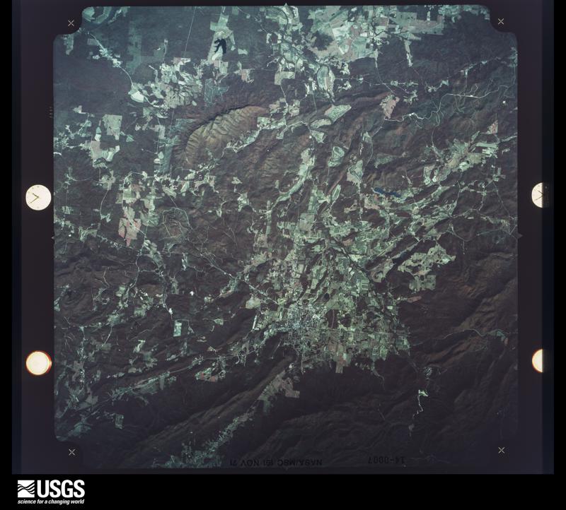
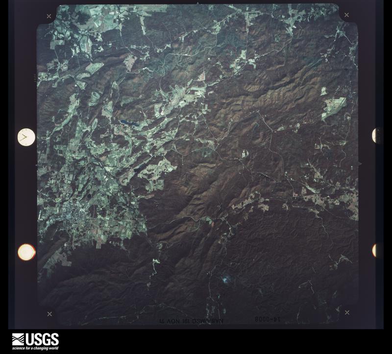
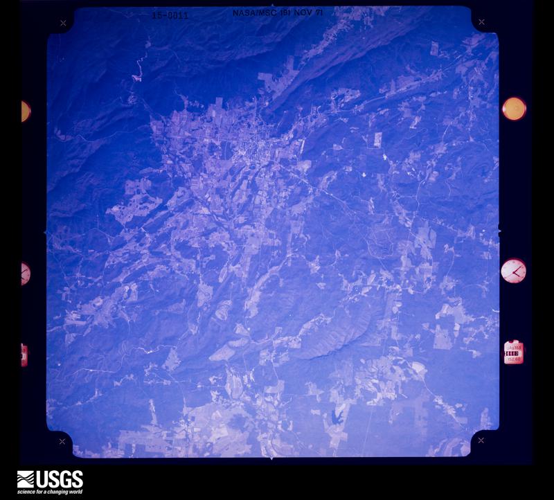
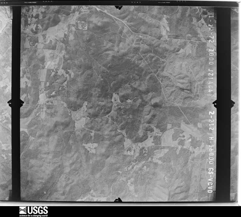



The thermometers that kept this county's weather, and the gages that measured the flow of its streams, as the federal records hold them. The extremes below are measured values from those records, not estimates.
Who lived here in 1950, one enumeration district at a time, as the Census Bureau described each district. Each row opens its official National Archives result, with Population Schedules and ED Maps available there.
Every wildfire the federal occurrence database records inside this county: 2,019 of them, burning about 48,102 acres. 20 started naturally and 1,316 were recorded as arson. Each settlement page carries the fires within five miles of it.
| Reported cause | Fires |
|---|---|
| Arson/incendiarism | 1316 |
| Debris and open burning | 342 |
| Missing data/not specified/undetermined | 242 |
| Equipment and vehicle use | 42 |
| Recreation and ceremony | 23 |
| Smoking | 21 |
| Natural | 20 |
| Misuse of fire by a minor | 7 |
| Fireworks | 2 |
| Other causes | 2 |
| Railroad operations and maintenance | 1 |
| Power generation/transmission/distribution | 1 |
The five largest, by the area the report gives. 6 of them were set deliberately.
| Date | Cause | Size | Reported by | Name on the report |
|---|---|---|---|---|
| 12 March 2007 | Debris and open burning | 3,000 acres | Alabama Forestry Commission | PENTECOST |
| 30 October 2000 | Missing data/not specified/undetermined | 1,636 acres | Alabama Forestry Commission | not named |
| 28 January 2001 | Arson/incendiarism | 740 acres | Alabama Forestry Commission | not named |
| 4 March 2011 | Arson/incendiarism | 616 acres | Alabama Forestry Commission | CO RD 2& ST MARKS CHURCH, AL |
| 5 March 2007 | Arson/incendiarism | 568 acres | Little River Canyon National Preserve | WILDCAT BRANCH WFIRE |
| 1 November 2010 | Arson/incendiarism | 530 acres | Alabama Forestry Commission | THE NOVEMBER 500 FIRE |
| 21 August 2006 | Arson/incendiarism | 480 acres | Little River Canyon National Preserve | SLANT ROCK WF |
| 21 October 2007 | Arson/incendiarism | 450 acres | Alabama Forestry Commission | TEMPLE #2 |
Every settlement page carries the fires within five miles of it - see the settlement index below.
The NOAA Storm Events Database holds 385 reports for this county, causing 3 deaths, 55 injuries and about $23,761,500 in recorded property damage. Each settlement page carries the reports that name it.
| Kind of event | Reports |
|---|---|
| Thunderstorm Wind | 219 |
| Hail | 109 |
| Flash Flood | 24 |
| Tornado | 18 |
| Flood | 7 |
| Lightning | 4 |
| Funnel Cloud | 2 |
| Heavy Rain | 2 |
The most serious of them, by death, then injury, then recorded damage. The accounts are quoted exactly as the forecast office filed them.
| When | Event | Place named | Harm | What the report says |
|---|---|---|---|---|
| November 2001 | Tornado (F2) | Sand Rock | 2 killed, 4 hurt, $300,000 | The tornado began about 2.7 miles south-southwest of Sand Rock at 3:01 pm moving northeast. The tornado moved across the southern and eastern portions of Sand Rock damaging a number of structures. Two people were killed in a mobile home just east of Sand Rock. The tornado continued northeast moving through mostly open areas with structures damaged and trees downed along the way. The tornado finally dissipated around 3:18 pm about 5.5 miles northeast of Sand Rock.The tornado was rated an F2 with a path length of 8.2 miles and a width of 200 yards.Beginning: 34 12.477/85 47.520 Ending: 34 18.063/85 42.139 |
| November 2002 | Tornado (F2) | Centre | 1 killed, 4 hurt, $1,200,000 | The Centre Tornado touched down near Highway 411, just to the east of the Cherokee Country Club. It then traveled northeast, crossed over Cowan Creek, and damaged houses along County Road 40 at approximately 1122 pm CST. The tornado continued its northeastward movement and crossed over County Road 16 at approximately 1125 pm CST. One death was reported in a mobile home at the point where the tornado crossed over County Road 16. From this point, the tornado crossed County Road 31, damaging more homes before moving over Spring Creek. The tornado turned more to the east-northeast, damaging even more homes, before finally lifting near the eastern end of Weiss Lake near Mud Creek.The Cherokee County Emergency Management Agency estimates that 88 homes were either damaged or destroyed as this tornado moved across the county. In addition to the one fatality, there were also 4 injuries reported.The tornado was on the ground from 1120 pm CST to approximately 1132 pm CST. It had a path 10.5 miles long, and at its widest point was 440 yards wide.Beg: 34 07.176/85 38.020 End: 34 10.010/85 27.928 |
| April 2011 | Tornado (EF3) | Gnatville | 25 hurt, $19,000,000 | This tornado initially touched down in eastern Jefferson County, north northeast of Trussville and moved northeast through portions of St. Clair, Calhoun, Etowah and Cherokee Counties. The tornado then moved into Georgia, across Polk, Floyd and Bartow (See Storm Data Peachtree City) Counties. The tornado moved into southwestern Cherokee County south of Estes Crossroads, along CR 19. As the tornado continued northeast, it strengthened as it moved south of Gnatville, to an EF2 rating with winds of 120 mph. Extensive tree damage was noted along CR 6 and several mobile homes sustained significant damage off of CR 447. The tornado strengthened further to an EF3 rating with winds of 150 mph as it crossed AL Hwy 9 south of Coloma. A single family home was destroyed on CR 31. The tornado weakened slightly as it crossed Frog Mountain, but continued to knock down trees and damage an outbuilding. The tornado re-strengthened as it crossed CR 45 north of Rock Run. Damage along CR 29 south of Forney was consistent with an EF3 rating and winds of 160 mph. Several well built homes were completely destroyed. The tornado weakened as it moved toward the Alabama/Georgia stateline, but continued to cause significant tree damage consistent with an EF1 rating and winds of 105 mph. The tornado crossed into Polk County Georgia at CR 28, south of Hanson. ||This tornado was produced by a supercell thunderstorm that began in Newton County Mississippi at 13:54 pm CST, and eventually dissipated in Macon County, North Carolina at approximately 21:18 pm CST. This supercell spawned several strong to violent tornadoes along its long path, which included another violent EF4 tornado that crossed portions of Tuscaloosa and western suburbs of the Birmingham. |
| April 1974 | Tornado (F3) | not stated | 9 hurt, $250,000 | no account filed |
| February 1993 | Tornado (F3) | not stated | 5 hurt, $500,000 | A tornado moved west to east through a 19-mile-path in southern Cherokee County. The tornado first touched down in the Gnatville Community around 1800 CST, about 3 miles southeast of Pine Grove, then moved east. The tornado crossed a road then moved through the Spring Garden Community, then through the Tecumseh area to the Alabama line. Five injuries occurred in mobile homes. Thirteen mobile homes and two houses were completely destroyed. One mobile home and four houses had major damage. One mobile home and ten homes received minor damage. Damage was estimated at approximately $400,000. |
| March 1963 | Tornado (F1) | not stated | 3 hurt, $25,000 | no account filed |
| August 2002 | Lightning | Weiss Lake East | 2 hurt | Two boys, age 11 and 12, were struck by lightning while playing outside on the bank of Weiss Lake. Both boys were knocked down, and the 12-year-old was not breathing and had no pulse. An adult in the group who had taken CPR only a few weeks earlier began CPR and the boy began breathing after about five minutes. Both boys were transported to the local hospital. The most seriously injured boy was transported to Childrens Hospital in Birmingham and released from the hospital three days later. The lightning apparently entered the boy's body through a necklace, traveled through his body, and exited through his hip; he had wounds on his hip, neck, chest, and back. |
| April 2011 | Thunderstorm Wind | Gnatville | 1 hurt, $15,000 | Strong winds damaged a home on CR 6 near Gnatville, resulting in one injury. |
| August 2025 | Thunderstorm Wind | Centre | 1 hurt | A tree fell on a kayaker on Terrapin Creek near County Road 336, resulting in an injury. Nearby, a tree was downed at CR 14 and CR 523 as well. |
| April 2018 | Thunderstorm Wind | Centre | 1 hurt | Large tree on home with one injury. |
| April 1994 | Thunderstorm Wind | Cedar Bluff | $500,000 | Strong winds with a thunderstorm produced scattered damage in the Cedar Bluff area of Cherokee County. A portion of the roof to the Cedar Bluff High School gym was blown off. A number of trees were blown down, and a lumber company lost part of the roof as did a paint and body shop. A number of houses and mobile homes just east of Cedar Bluff suffered roof damage. Four homes were damaged, two mobile homes destroyed, and two mobile homes damaged in the Watson's Crossroads area on Alabama Highway 35 north of Gaylesville. Twelve camping trailers were destroyed in the Buffington Campground. |
| June 1994 | Tornado (F0) | not stated | $500,000 | Nickel-size hail was reported by the Cherokee County Sheriff's office about 10 miles south-southeast of Centre. A funnel cloud was reported near Coloma about seven miles south-southeast of Centre. A weak tornado touched down in the Rock Run/Spring Garden area with damage to seven houses along with a number of trees uprooted. |
| August 2010 | Lightning | Congo | $150,000 | Lightning struck a house on County Road 77 resulting in a fire. |
| May 2003 | Flash Flood | Countywide | $150,000 | Numerous roads across the county were temporarily impassable due to high water. Many remained closed for several hours. Some towns that reported flooding included Broomtown, Gaylesville, Cedar Bluff, and Leesburg. |
| March 2008 | Tornado (EF2) | Gnatville | $75,000 | The tornado touched down near the intersection of CR-6 and CR-31, just west of AL-9, about 5 miles north of Piedmont. From there, it moved just north of due east, across AL-9, and then roughly parallel to CR-10 for about 3 miles, before lifting near Hurricane Creek. Some metal roof paneling was torn off a barn and one-half of a roof was torn off a brick home. Two other homes and another barn also sustained damage. Numerous trees in the area were also snapped or uprooted. |
| May 2003 | Hail | Centre | $65,000 | Hail up to the size of softballs fell across western and southern Cherokee County. Many locations reported the hail was covering the ground. Most of the hail fell across rural areas. |
| January 2007 | Thunderstorm Wind | Leesburg | $50,000 | A mobile home received substantial damage. A sign was blown down, and a roof was damaged, near the intersection of Highways 68 and 411. |
| July 2000 | Thunderstorm Wind | Countywide | $50,000 | Numerous trees and power lines were knocked down throughout Cherokee County. Several of the downed trees landed on mobile homes or vehicles. One mobile home was totally destroyed on CR 19 south of Centre. No injuries were reported. |
| April 1994 | Thunderstorm Wind | North & Central | $50,000 | Trees and power lines were downed across north and central Cherokee County when thunderstorms moved through the area. A double-wide mobile home located on Weiss Lake was blown off its foundation and a mobile home in Alexis (9 east of Centre) had the roof blown off. A mobile home lost its roof in strong winds in Sand Rock, about eight miles northwest of Center. |
| December 2000 | Tornado (F3) | Centre | $40,000 | no account filed |
| March 2010 | Thunderstorm Wind | Little River | $30,000 | Two houses and one mobile home sustained roof damage, 2 barns were damaged, and several more trees were blown down, near Black Oak Church, on CR-57. |
| September 2004 | Flash Flood | Countywide | $30,000 | no account filed |
| January 2009 | Flash Flood | Centre | $25,000 | Heavy rainfall produced flooding at several locations across Cherokee County. Around a half a dozen roads were closed due to high water. One car on Park Street, in the city of Centre, was swept away by flood waters, briefly trapping its occupant. |
| May 2003 | Flash Flood | Countywide | $25,000 | Several roads were flooded around Gaylesville and Broonsville. Most county roads north of Centre were temporarily impassable. |
| June 1999 | Lightning | Centre | $25,000 | Lightning struck the steeple of the Shiloh Baptist Church on Bay Springs Road during a thunderstorm. The lightning started a fire which heavily damaged the roof, the main sanctuary, and the foyer. Additional damage was done by the smoke and the water used to put out the fire. |
| April 1998 | Tornado (F0) | Centre | $25,000 | A small tornado touched down on the east side of Centre downing a number of trees and damaging several house roofs. |
| January 1998 | Flash Flood | Countywide | $25,000 | no account filed |
| November 1983 | Tornado (F1) | not stated | $25,000 | no account filed |
| April 1964 | Tornado (F1) | not stated | $25,000 | no account filed |
| August 2008 | Thunderstorm Wind | Farill | $20,000 | Several trees were blown down on AL-9, including one that fell onto a church, east of Gaylesville. |
| April 2005 | Tornado (F0) | Jamestown | $20,000 | The second Cherokee County tornado touched down just west of CR 15, approximatley one mile north of Jamestown, around 703 PM CDT. It stayed on the ground for only about one minute, before lifting around 704 PM CDT. The total path length was 0.9 miles with a path width of 75 yards at its widest point. This tornado uprooted or snapped off numerous trees along its path. A porch of one home was completely destroyed. As this tornado crossed over CR 15, a 40 year old home had its tin roof blown off and received some structural damage, which included several windows being blown out. On this same property, three to four outbuildings were completely destroyed.Begin: 34 24.53/85 34.26 End: 34 24.44/85 33.35 |
| February 1999 | Thunderstorm Wind | Centre | $20,000 | Numerous trees reported down around the Davis Chapel Church near CR 19. In the Mt. Weisner Community on CR 39, two mobile homes were totally destroyed and six other homes sustained minor damage. Numerous barns and outbuildings were demolished, and numerous trees and power lines were blown to the ground. |
| June 1998 | Thunderstorm Wind | Centre | $20,000 | Trees were down along SR 9 in Centre. |
| March 1996 | Hail | Blanche | $18,000 | no account filed |
| May 2003 | Thunderstorm Wind | Blanche | $17,000 | Several trees were blown down just east of SR 273 and SR 35 near Jamestown. One home also sustained roof damage. |
| April 2011 | Thunderstorm Wind | Richardson | $15,000 | Numerous trees were knocked down across the area, including the Tates Chapel community. Several homes were damaged due to fallen trees. |
| April 2011 | Thunderstorm Wind | Key | $15,000 | Strong winds resulted in significant structural damage to the New Bethel Church. |
| May 2010 | Thunderstorm Wind | Gnatville | $15,000 | Trees and power lines were blown down on CR-9, north of Piedmont. One tree fell onto a house. |
| July 2005 | Thunderstorm Wind | Forney | $11,000 | A few trees were blown down near Forney. One home had its porch blown off and destroyed. |
| November 2004 | Flash Flood | Countywide | $11,000 | Several roads were reported covered with water and were temporarily impassable. Doppler radar estimatedrain amounts of three to five inches with a few spots receiving up to 8 inches. Runoff from these stormslasted for several hours after the heaviest rains ended. |
| June 2010 | Thunderstorm Wind | Blanche | $10,000 | Trees and power lines were blown down at several locations near the Blanche community, along AL-35 and CR-15. |
| April 2009 | Thunderstorm Wind | Centre | $10,000 | A large awning was blown off a service station, and several trees were blown down, in the city of Centre. Single trees were blown down at several other locations across the county. |
| November 2007 | Thunderstorm Wind | Pine Grove | $10,000 | Several trees were blown down and grain bins were damaged, in the Pine Grove Community. |
| July 2007 | Thunderstorm Wind | Forney | $10,000 | Wind damaged a barn, and caused several trees to be blown down, in the Bauxite Community. |
| August 2007 | Thunderstorm Wind | Centre | $10,000 | A barn was damaged on County Road 22, just north of US-411. |
| June 2006 | Thunderstorm Wind | Centre | $10,000 | Numerous trees were blown down across the southern sections of the county. |
| May 2003 | Thunderstorm Wind | Gaylesville | $10,000 | Trees were blown down and minor structural damage occurred near SR 35 and CR 925. |
| February 2001 | Thunderstorm Wind | Countywide | $10,000 | Cherokee County reported numerous trees blown down. Several roads were closed after being blocked by downed trees. |
| May 1998 | Hail | Gaylesville | $10,000 | Golf ball size hail was reported in Gaylesville. |
| August 2010 | Flash Flood | Leesburg | $8,000 | Several road closures required in and around Leesburg, including County Road 44, due to high water. |
| April 2005 | Thunderstorm Wind | Blanche | $8,000 | Several trees were blown down along CR 921. These trees were blown down by the same storm that produced the two tornadoes previously. |
| November 2004 | Thunderstorm Wind | Cedar Bluff | $8,000 | Numerous trees and power lines were reported blown down in and around Cedar Bluff. |
| March 2003 | Thunderstorm Wind | Ringgold | $8,000 | Several trees and power lines were blown down near Ringgold on CR 91, CR 56, and on Highway 35 North. |
| March 2003 | Hail | Sand Rock | $8,000 | Golf ball size hail was observed in the Sand Rock area. |
| May 2003 | Flash Flood | Centre | $8,000 | US 411 was flooded and temporarily impassable near Centre. |
| April 2003 | Hail | Sand Rock | $8,000 | Nickel to golf ball size hail was reported from around Sand Rock to near Cedar Bluff. |
| June 2003 | Thunderstorm Wind | Centre | $8,000 | A few trees and power lines were blown down in and around the city of Centre. Pea size hail also accompanied this storm. |
| May 2003 | Thunderstorm Wind | Spring Garden | $8,000 | no account filed |
| March 1997 | Hail | Gaylesville | $8,000 | no account filed |
| April 2011 | Thunderstorm Wind | Sand Rock | $7,000 | Multiple trees were blown down in and around Sand Rock, one of which fell onto a vehicle. In addition, shingles were blown off a barn on County Line Street. |
The Survey's mineral resources record lists 253 workings inside this county. 1 still produces and 252 are closed or unrecorded. Each settlement page carries the workings within five miles of it.
| Commodity | Workings |
|---|---|
| Iron | 152 |
| Aluminum | 50 |
| Manganese | 21 |
| Iron, Manganese | 7 |
| Cobalt, Manganese | 6 |
| Kaolin | 6 |
| Manganese, Iron | 4 |
| Cobalt, Iron, Manganese | 4 |
| Water, Free | 4 |
| Clay | 3 |
| Cobalt | 2 |
| Nickel, Cobalt, Manganese | 1 |
| Kaolin, Aluminum | 1 |
| Calcium, Fluorine-Fluorite | 1 |
The least common of them first, because a county's hundredth gravel pit says nothing its first ten did not.
| Where | Site | Commodity | Status | Recorded |
|---|---|---|---|---|
| Cherokee County Hwy. Dept. | Sand and Gravel, Construction | Producer | ||
| Frank Gillum Prospect | Barium-Barite | Prospect | ||
| Gilley Fluorspar Deposit | Calcium, Fluorine-Fluorite | Occurrence | 1900 | |
| Gilley Fluorspar Deposit | Fluorine-Fluorite | Past Producer | 1900 | |
| Harbour and Thompson Prospects | Nickel, Cobalt, Manganese | Occurrence | ||
| Pope-Brittain Deposit | Manganese, Iron, Cobalt | Prospect | Wad | |
| Price-Rowland Prospect | Manganese, Cobalt, Iron | Past Producer | 1938 | |
| Rock Run-Goshen Ala. | Kaolin, Aluminum | Past Producer | 1891, 1923 | |
| Stock Property | Manganese, Stone | Prospect | 1949 | |
| Hughes Deposits | Manganese, Cobalt | Past Producer | Wad | |
| Pope-Hughes Prospect | Manganese, Cobalt | Past Producer | ||
| Che 6 Clay Prospect | Clay | Prospect | ||
| Che 7 Clay Prospect | Clay | Prospect | ||
| Che 9 Clay Prospect | Clay | Prospect | ||
| Central Rock Run Area | Aluminum, Water, Free | Past Producer | 1891 | |
| Dupont | Aluminum, Water, Free | Past Producer | 1897 | |
| Gorman Prospects | Cobalt, Iron, Manganese | Past Producer | 1930 | |
| Hughes Prospect | Manganese, Iron | Prospect | 1953 | |
| North Rock Run Area | Aluminum, Water, Free | Past Producer | 1891 | |
| Northeastern Alababa | Cobalt, Iron, Manganese | Past Producer | 1918 | |
| Pope-Brittain | Manganese, Iron | Past Producer | Residual | |
| Price Rowland Deposit | Manganese, Iron | Past Producer | 1938 | |
| Price-Rowland Prospect | Manganese, Iron | Past Producer | Residual | |
| R. Stockdale Property | Cobalt, Iron, Manganese | Past Producer | ||
| W.C. Pope Prospect | Cobalt, Iron, Manganese | Past Producer | 1918 | |
| West Rock Run Area | Aluminum, Water, Free | Past Producer | 1891 | |
| Asbury Prospect 1 | Aluminum, Kaolin | Prospect | ||
| Estes Prospect | Aluminum, Kaolin | Prospect | ||
| Harbour Property | Cobalt, Manganese | Occurrence | ||
| Johnson Prospect | Aluminum, Kaolin | Prospect | ||
| North of Bluffington Deposits | Cobalt, Manganese | Occurrence | ||
| Pittman Prospect | Aluminum, Kaolin | Prospect | ||
| Pope Hughes | Cobalt, Manganese | Occurrence | 1938 | |
| Site Rr 1 Prospect | Aluminum, Kaolin | Prospect | ||
| Site Rr 2 Prospect | Aluminum, Kaolin | Past Producer | ||
| Thompson Property | Cobalt, Manganese | Prospect | ||
| Toll Property,Goshen Valley | Cobalt, Manganese | Occurrence | ||
| Unnamed Prospect | Cobalt, Manganese | Occurrence | ||
| Arrington Pit | Iron, Manganese | Prospect | 1949 | |
| Bluffton Mines | Iron, Manganese | Past Producer | 1873, 1956 | |
| Bluffton Mines | Iron, Manganese | Past Producer | Residual | |
| Erwin Brown Ore Pit | Iron, Manganese | Past Producer | 1949 | |
| Erwin Pit | Iron, Manganese | Prospect | 1949 | |
| Sid Hart Property | Iron, Manganese | Past Producer | 1949 | |
| Smith Iron Deposits | Iron, Manganese | Past Producer | 1949 | |
| Daughdrill Prospect-Rock Run A. | Manganese | Prospect | 1949 | |
| Davis Property | Manganese | Occurrence | 1949 | |
| E.A. Jones Prospect | Manganese | Occurrence | ||
| Emerson Pit | Manganese | Past Producer | 1930 | |
| Goshen Valley Manganese Prospect | Manganese | Occurrence | ||
| Hughes Deposit | Manganese | Past Producer | Residual | |
| Jones Deposit | Manganese | Prospect | 1953 | |
| Neddie Parker Property | Manganese | Occurrence | 1949 | |
| Palmer Deposit | Manganese | Occurrence | ||
| Palmer Deposit | Manganese | Prospect | 1953 | |
| Parker Deposit | Manganese | Prospect | 1953 | |
| Pope-Brittain Deposits-Britton P | Manganese | Past Producer | 1939 | |
| Pope-Huges Prospect | Manganese | Past Producer | Residual | |
| Rock Run Deposits | Manganese | Prospect | 1949 | |
| W. L. Moore Prospect | Manganese | Past Producer | 1949 | |
| Wilder Manganese Prospect | Manganese | Occurrence | ||
| Wirt Hill | Iron, Manganese | Past Producer | Residual | |
| Barfield Bauxite Mine | Aluminum | Past Producer | ||
| Bogan Mine | Aluminum | Past Producer | ||
| Bust-Up Mine | Aluminum | Past Producer | ||
| Carr Mine | Aluminum | Past Producer | ||
| Congo Deposit | Aluminum | Occurrence | ||
| Cunliff Prospect | Aluminum | Prospect | ||
| Gaines Hill Mine | Aluminum | Past Producer | ||
| Garvin Prospect | Aluminum | Prospect | ||
| Gaylord M Leslie Bauxite Mine | Aluminum | Past Producer | ||
| Hite Mine | Aluminum | Past Producer | ||
| Howell Prospect | Aluminum | Prospect | ||
| Indian Dyke Mine | Aluminum | Past Producer | ||
| Klondike Mine | Aluminum | Past Producer | ||
| Lewis Prospect | Aluminum | Unknown | ||
| Lumpkin | Aluminum | Prospect | ||
| Monahan Mine | Aluminum | Past Producer | ||
| Mundy Prospect | Aluminum | Prospect | 1909 | |
| Murnaghan Mine | Aluminum | Past Producer | ||
| New Dyke Mine | Aluminum | Past Producer | ||
| Old Dyke Mine | Aluminum | Past Producer | ||
| Old and New Stewart Prospects | Aluminum | Prospect | ||
| Pine Cut Mine | Aluminum | Past Producer | ||
| Red Cut Prospect | Aluminum | Past Producer | ||
| Red Washer Mine | Aluminum | Past Producer | ||
| Rumsey and Lee Prospects 1 and 2 | Aluminum | Prospect | ||
| Site Rr 4 Prospect | Aluminum | Past Producer | ||
| Snyder Mine | Aluminum | Past Producer | ||
| Stubbs Hill Mine | Aluminum | Past Producer | ||
| Tierce Mine | Aluminum | Past Producer | ||
| Tomahawk Mine | Aluminum | Past Producer | ||
| Unnamed Prospect | Aluminum | Occurrence | ||
| Unnamed Prospect | Aluminum | Occurrence | ||
| Unnamed Prospect | Aluminum | Occurrence | ||
| Wallace Prospect | Aluminum | Prospect | ||
| Warwhoop Mine | Aluminum | Past Producer | ||
| Washer Mine | Aluminum | Past Producer | ||
| Wilson Mine | Aluminum | Past Producer | ||
| Wood Property | Aluminum | Prospect | ||
| Woodward Hollow Prospects 1 | Aluminum | Prospect | ||
| Wright Prospect | Aluminum | Prospect | ||
| Baker Hill | Iron | Unknown | ||
| Baker Hill Mines | Iron | Past Producer | 1960 | |
| Bustup | Iron | Unknown | ||
| Cherokee County | Iron | Unknown | ||
| Dockage | Iron | Unknown | ||
| Emmett Sharpe Iron Property | Iron | Past Producer | ||
| Frog Mountain | Iron | Unknown | ||
| Gaylesville Area | Iron | Past Producer | Hematite | |
| J A Pilgrim Iron Mine | Iron | Past Producer | ||
| Little River Area | Iron | Past Producer | Hematite | |
| Mcclung Bank | Iron | Past Producer | Residual | |
| Monahan | Iron | Unknown | ||
| Rilgrim Land Area | Iron | Past Producer | Hematite | |
| Rock Run Distr-C | Iron | Past Producer | Residual | |
| Rock Run Distr.-B | Iron | Past Producer | Residual | |
| Rock Run-A | Iron | Past Producer | Residual | |
| Round Mountain Mine | Iron | Past Producer | ||
| Round Mt. Mine | Iron | Past Producer | Hematite | |
| Rumsey Old Houses | Iron | Past Producer | Residual | |
| Sidhart | Iron | Unknown | ||
| Smith Mine | Iron | Past Producer | ||
| State Line Mine | Iron | Past Producer | Residual | |
| Stonewall | Iron | Unknown | ||
| Unknown, Frog Mt & Weems Bank | Iron | Past Producer | Residual | |
| Unknown, Mills Creek Area | Iron | Past Producer | Hematite | |
| Unnamed | Iron | Unknown | ||
| Unnamed | Iron | Unknown | ||
| Unnamed | Iron | Unknown | ||
| Unnamed | Iron | Unknown | ||
| Unnamed | Iron | Unknown | ||
| Unnamed | Iron | Unknown | ||
| Unnamed | Iron | Unknown | ||
| Unnamed | Iron | Unknown | ||
| Unnamed | Iron | Unknown | ||
| Unnamed | Iron | Unknown | ||
| Unnamed | Iron | Unknown | ||
| Unnamed | Iron | Unknown | ||
| Unnamed | Iron | Unknown | ||
| Unnamed | Iron | Unknown | ||
| Unnamed | Iron | Unknown | ||
| Unnamed | Iron | Unknown | ||
| Unnamed | Iron | Unknown | ||
| Unnamed | Iron | Unknown | ||
| Unnamed | Iron | Unknown | ||
| Unnamed | Iron | Unknown | ||
| Unnamed | Iron | Unknown | ||
| Unnamed | Iron | Unknown | ||
| Unnamed | Iron | Unknown | ||
| Unnamed | Iron | Unknown | ||
| Unnamed | Iron | Unknown | ||
| Unnamed | Iron | Unknown | ||
| Unnamed | Iron | Unknown | ||
| Unnamed | Iron | Unknown | ||
| Unnamed | Iron | Unknown | ||
| Unnamed | Iron | Unknown | ||
| Unnamed | Iron | Unknown | ||
| Unnamed | Iron | Unknown | ||
| Unnamed | Iron | Unknown | ||
| Unnamed | Iron | Unknown | ||
| Unnamed | Iron | Unknown | ||
| Unnamed | Iron | Unknown | ||
| Unnamed | Iron | Unknown | ||
| Unnamed | Iron | Unknown | ||
| Unnamed | Iron | Unknown | ||
| Unnamed | Iron | Unknown | ||
| Unnamed | Iron | Unknown | ||
| Unnamed | Iron | Unknown | ||
| Unnamed | Iron | Unknown | ||
| Unnamed | Iron | Unknown | ||
| Unnamed | Iron | Unknown | ||
| Unnamed | Iron | Unknown | ||
| Unnamed | Iron | Unknown | ||
| Unnamed | Iron | Unknown | ||
| Unnamed | Iron | Unknown | ||
| Unnamed | Iron | Unknown | ||
| Unnamed | Iron | Unknown | ||
| Unnamed | Iron | Unknown | ||
| Unnamed | Iron | Unknown | ||
| Unnamed | Iron | Unknown | ||
| Unnamed | Iron | Unknown | ||
| Unnamed | Iron | Unknown | ||
| Unnamed | Iron | Unknown | ||
| Unnamed | Iron | Unknown | ||
| Unnamed | Iron | Unknown | ||
| Unnamed | Iron | Unknown | ||
| Unnamed | Iron | Unknown | ||
| Unnamed | Iron | Unknown | ||
| Unnamed | Iron | Unknown | ||
| Unnamed | Iron | Unknown | ||
| Unnamed | Iron | Unknown | ||
| Unnamed | Iron | Unknown | ||
| Unnamed | Iron | Unknown | ||
| Unnamed | Iron | Unknown | ||
| Unnamed | Iron | Unknown | ||
| Unnamed | Iron | Unknown | ||
| Unnamed | Iron | Unknown | ||
| Unnamed | Iron | Unknown | ||
| Unnamed | Iron | Unknown | ||
| Unnamed | Iron | Unknown | ||
| Unnamed | Iron | Unknown | ||
| Unnamed | Iron | Unknown | ||
| Unnamed | Iron | Unknown | ||
| Unnamed | Iron | Unknown | ||
| Unnamed | Iron | Unknown | ||
| Unnamed | Iron | Unknown | ||
| Unnamed | Iron | Unknown | ||
| Unnamed | Iron | Unknown | ||
| Unnamed | Iron | Unknown | ||
| Unnamed | Iron | Unknown | ||
| Unnamed | Iron | Unknown | ||
| Unnamed | Iron | Unknown | ||
| Unnamed | Iron | Unknown | ||
| Unnamed | Iron | Unknown | ||
| Unnamed | Iron | Unknown | ||
| Unnamed | Iron | Unknown | ||
| Unnamed | Iron | Unknown | ||
| Unnamed | Iron | Unknown | ||
| Unnamed | Iron | Unknown | ||
| Unnamed Mine | Iron | Past Producer | ||
| Unnamed Mine | Iron | Past Producer | ||
| Unnamed Mine | Iron | Past Producer | ||
| Unnamed Mine | Iron | Past Producer | ||
| Unnamed Mine | Iron | Past Producer | ||
| Unnamed Prospect | Iron | Prospect | ||
| Unnamed Prospect | Iron | Occurrence | ||
| Unnamed Prospect | Iron | Occurrence | ||
| Unnamed Prospect | Iron | Occurrence | ||
| Unnamed Prospect | Iron | Occurrence | ||
| Unnamed Prospect | Iron | Prospect | ||
| Unnamed Prospect | Iron | Prospect | ||
| Unnamed Prospect | Iron | Occurrence | ||
| Unnamed Prospect | Iron | Occurrence | ||
| Unnamed Prospect | Iron | Occurrence | ||
| Unnamed Prospect | Iron | Occurrence | ||
| Unnamed Prospect | Iron | Occurrence | ||
| Unnamed Prospect | Iron | Occurrence | ||
| Unnamed Prospect | Iron | Occurrence | ||
| Unnamed Prospect | Iron | Occurrence | ||
| Unnamed Prospect | Iron | Occurrence | ||
| Unnamed Prospect | Iron | Occurrence | ||
| Unnamed Prospect | Iron | Occurrence | ||
| Unnamed Prospect | Iron | Occurrence | ||
| Unnamed Prospect | Iron | Occurrence | ||
| Unnamed Prospect | Iron | Occurrence | ||
| Unnamed Prospect | Iron | Occurrence | ||
| Unnamed Prospect | Iron | Occurrence | ||
| Unnamed Prospect | Iron | Occurrence | ||
| Unnamed Prospect | Iron | Occurrence | ||
| Unnamed Prospect | Iron | Occurrence | ||
| Unnamed, Craig Mt & Frog Mt. | Iron | Past Producer | Residual | |
| Warhoop | Iron | Unknown |
Named settlements recorded in the Geographic Names Information System, each with the topographic sheets covering it. Villages, hamlets and abandoned places alike. Each is shown with the nearest named watercourse or landform and the survey quadrangle it falls on.
Spring Garden census division · 35960 · Near Frost Mountain · Indian Mountain quadrangle
18 sheets, 1886 to 1981
Spring Garden census division · 35960 · Near Godfreys Island · Cedar Bluff quadrangle
19 sheets, 1893 to 1981
Cedar Bluff-Gaylesville census division · 35959 · Cedar Bluff quadrangle
19 sheets, 1893 to 1981
Cedar Bluff-Gaylesville census division · 35959 · On Little River · Centre quadrangle
19 sheets, 1893 to 1981
Cedar Bluff-Gaylesville census division · 35959 · On Spring Creek · Centre quadrangle
19 sheets, 1893 to 1981
Centre census division · 36272 · On Little Ballplay Creek · Weisner Mountain quadrangle
18 sheets, 1893 to 1981
Spring Garden census division · 35960 · Near Suzanne Davis Mountain · Indian Mountain quadrangle
18 sheets, 1886 to 1981
Leesburg census division · 35959 · Near Round Mountain · Centre quadrangle
19 sheets, 1893 to 1981
Cedar Bluff-Gaylesville census division · 35973 · On Alpine Creek · Jamestown quadrangle
18 sheets, 1893 to 1981
Centre census division · 35960 · On Yellow Creek · Centre quadrangle
19 sheets, 1893 to 1981
Cedar Bluff-Gaylesville census division · 35973 · Gaylesville quadrangle
20 sheets, 1893 to 1981
Spring Garden census division · 36272 · On Sal Brown Branch · Indian Mountain quadrangle
18 sheets, 1886 to 1981
Spring Garden census division · 35960 · On Cowan Creek · Ellisville quadrangle
18 sheets, 1893 to 1981
Centre census division · 35960 · On Terrapin Creek · Centre quadrangle
19 sheets, 1893 to 1981
Cedar Bluff-Gaylesville census division · 35973 · On Culstigh Creek · Gaylesville quadrangle
20 sheets, 1893 to 1981
Cedar Bluff-Gaylesville census division · 35973 · Jamestown quadrangle
18 sheets, 1893 to 1981
Cedar Bluff-Gaylesville census division · 35959 · Near Buffingtons Island · Cedar Bluff quadrangle
19 sheets, 1893 to 1981
Cedar Bluff-Gaylesville census division · 35973 · On Mills Creek · Chattoogaville quadrangle
16 sheets, 1886 to 1981
No longer a settlement
Centre census division · 35960 · On Terrapin Creek · Centre quadrangle
19 sheets, 1893 to 1981
Cedar Bluff-Gaylesville census division · 35973 · On Dry Branch · Jamestown quadrangle
18 sheets, 1893 to 1981
Centre census division · 35960 · Ellisville quadrangle
18 sheets, 1893 to 1981
No longer a settlement
Cedar Bluff-Gaylesville census division · 35959 · Little River quadrangle
19 sheets, 1893 to 1981
Cedar Bluff-Gaylesville census division · 35959 · Cedar Bluff quadrangle
19 sheets, 1893 to 1981
Cedar Bluff-Gaylesville census division · 35959 · On Chattooga River · Cedar Bluff quadrangle
19 sheets, 1893 to 1981
Cedar Bluff-Gaylesville census division · 35973 · Near Back Valley · Gaylesville quadrangle
20 sheets, 1893 to 1981
Centre census division · 36272 · On Little Ballplay Creek · Piedmont NW quadrangle
16 sheets, 1900 to 2001
Spring Garden census division · 35960 · Near Stubbs Mountain · Ellisville quadrangle
18 sheets, 1893 to 1981
Spring Garden census division · 35960 · On Spring Creek · Cedar Bluff quadrangle
19 sheets, 1893 to 1981
Cedar Bluff-Gaylesville census division · 35984 · Jamestown quadrangle
18 sheets, 1893 to 1981
Spring Garden census division · 35960 · Near Suzanne Davis Mountain · Indian Mountain quadrangle
18 sheets, 1886 to 1981
Centre census division · 36272 · Near Freeman Hill · Ellisville quadrangle
18 sheets, 1893 to 1981
Cedar Bluff-Gaylesville census division · 35973 · On Mills Creek · Chattoogaville quadrangle
16 sheets, 1886 to 1981
Cedar Bluff-Gaylesville census division · 35973 · On Chattooga River · Gaylesville quadrangle
20 sheets, 1893 to 1981
Cedar Bluff-Gaylesville census division · 30165 · On Ballplay Creek · Melson quadrangle
17 sheets, 1886 to 1981
No longer a settlement
Cedar Bluff-Gaylesville census division · 35973 · Near Broomtown Valley · Gaylesville quadrangle
20 sheets, 1893 to 1981
Cedar Bluff-Gaylesville census division · 35973 · Jamestown quadrangle
18 sheets, 1893 to 1981
Cedar Bluff-Gaylesville census division · 35959 · Chattoogaville quadrangle
16 sheets, 1886 to 1981
Spring Garden census division · 35960 · Near Poplar Ridge · Indian Mountain quadrangle
18 sheets, 1886 to 1981
Spring Garden census division · 35960 · Near Godfreys Island · Cedar Bluff quadrangle
19 sheets, 1893 to 1981
Cedar Bluff-Gaylesville census division · 35959 · Gaylesville quadrangle
20 sheets, 1893 to 1981
Cedar Bluff-Gaylesville census division · 35973 · Jamestown quadrangle
18 sheets, 1893 to 1981
Spring Garden census division · 35960 · On Strickland Branch · Ellisville quadrangle
18 sheets, 1893 to 1981
Leesburg census division · 35983 · Near Byrams Island · Leesburg quadrangle
19 sheets, 1893 to 1981
No longer a settlement
Spring Garden census division · 35960 · On Ballplay Creek · Melson quadrangle
17 sheets, 1886 to 1981
Cedar Bluff-Gaylesville census division · 35959 · Cedar Bluff quadrangle
19 sheets, 1893 to 1981
Leesburg census division · 35959 · Near Shinbone Valley · Little River quadrangle
19 sheets, 1893 to 1981
Cedar Bluff-Gaylesville census division · 35973 · Little River quadrangle
19 sheets, 1893 to 1981
Leesburg census division · 35983 · Near Byrams Island · Leesburg quadrangle
19 sheets, 1893 to 1981
Spring Garden census division · 35960 · On Lumpkin Mill Creek · Indian Mountain quadrangle
18 sheets, 1886 to 1981
Centre census division · 36272 · On Mill Creek · Piedmont quadrangle
17 sheets, 1900 to 2001
Cedar Bluff-Gaylesville census division · 35959 · Cedar Bluff quadrangle
19 sheets, 1893 to 1981
Centre census division · 36272 · Near Roberts Mountain · Ellisville quadrangle
18 sheets, 1893 to 1981
No longer a settlement
Leesburg census division · 35959 · Little River quadrangle
19 sheets, 1893 to 1981
No longer a settlement
Cedar Bluff-Gaylesville census division · 35973 · On Chattooga River · Gaylesville quadrangle
20 sheets, 1893 to 1981
Leesburg census division · 35983 · Leesburg quadrangle
19 sheets, 1893 to 1981
Cedar Bluff-Gaylesville census division · 35973 · Jamestown quadrangle
18 sheets, 1893 to 1981
Spring Garden census division · 35960 · On Three Mile Creek · Cedar Bluff quadrangle
19 sheets, 1893 to 1981
Spring Garden census division · 35960 · On Spring Creek · Cedar Bluff quadrangle
19 sheets, 1893 to 1981
Spring Garden census division · 35960 · On Locust Branch · Cedar Bluff quadrangle
19 sheets, 1893 to 1981
Spring Garden census division · 35960 · On Mud Creek · Melson quadrangle
17 sheets, 1886 to 1981
Centre census division · 36272 · Near Coloma Mountain · Ellisville quadrangle
18 sheets, 1893 to 1981
Centre census division · 36272 · On Morrison Creek · Weisner Mountain quadrangle
18 sheets, 1893 to 1981
Spring Garden census division · 36272 · On Wolf Branch · Piedmont quadrangle
17 sheets, 1900 to 2001
Cedar Bluff-Gaylesville census division · 35973 · Gaylesville quadrangle
20 sheets, 1893 to 1981
Centre census division · 36272 · Weisner Mountain quadrangle
18 sheets, 1893 to 1981
No longer a settlement
Cedar Bluff-Gaylesville census division · 35973 · Gaylesville quadrangle
20 sheets, 1893 to 1981
Spring Garden census division · 36272 · Near Pump Log Hollow · Indian Mountain quadrangle
18 sheets, 1886 to 1981
Leesburg census division · 35959 · On Round Mountain · Centre quadrangle
19 sheets, 1893 to 1981
Spring Garden census division · 35960 · Near McCauley Mountain · Indian Mountain quadrangle
18 sheets, 1886 to 1981
Spring Garden census division · 36272 · Near Casey Hill · Ellisville quadrangle
18 sheets, 1893 to 1981
Cedar Bluff-Gaylesville census division · 35959 · On Little River · Centre quadrangle
19 sheets, 1893 to 1981
Spring Garden census division · 36272 · Near Hawkins Hollow · Indian Mountain quadrangle
18 sheets, 1886 to 1981
No longer a settlement
Leesburg census division · 35983 · Near Byrams Island · Leesburg quadrangle
19 sheets, 1893 to 1981
Cedar Bluff-Gaylesville census division · 35973 · Lyerly quadrangle
17 sheets, 1886 to 1981
No longer a settlement
Cedar Bluff-Gaylesville census division · 35959 · Cedar Bluff quadrangle
19 sheets, 1893 to 1981
No longer a settlement
Cedar Bluff-Gaylesville census division · 35959 · Near Pruetts Island · Cedar Bluff quadrangle
19 sheets, 1893 to 1981
Cedar Bluff-Gaylesville census division · 35973 · Little River quadrangle
19 sheets, 1893 to 1981
Spring Garden census division · 36272 · Near Bluffton Mountain · Borden Springs quadrangle
17 sheets, 1889 to 2001
Spring Garden census division · 36272 · Near Baker Hill · Borden Springs quadrangle
17 sheets, 1889 to 2001
Spring Garden census division · 35960 · Cedar Bluff quadrangle
19 sheets, 1893 to 1981
Leesburg census division · 35983 · On Terrapin Creek · Centre quadrangle
19 sheets, 1893 to 1981
No longer a settlement
Spring Garden census division · 36272 · Near Davis Mountain · Borden Springs quadrangle
17 sheets, 1889 to 2001
No longer a settlement
Cedar Bluff-Gaylesville census division · 35959 · On Ballplay Creek · Melson quadrangle
17 sheets, 1886 to 1981
Cedar Bluff-Gaylesville census division · 35973 · On Mud Creek · Gaylesville quadrangle
20 sheets, 1893 to 1981
Cedar Bluff-Gaylesville census division · 35973 · Gaylesville quadrangle
20 sheets, 1893 to 1981
Spring Garden census division · 35960 · On Dry Branch · Cedar Bluff quadrangle
19 sheets, 1893 to 1981
The vanished settlements of Cherokee County: the places named above that are no longer on the map.
The complete index, with nothing left out. Each of these is a separate record with its own page: a federal survey report, or the case file that argued a property on to the National Register. Both are public domain and reproduced word for word.
The vanished settlements of Cherokee County, the places these records name that are no longer on the map.