 Block
From the record
3 National Register listings published here.
Sources: the National Register database, National Park Service
60 topographic sheets and 3 fire insurance atlases across 1 place.
3 National Register listings published here.
Sources: the National Register database, National Park Service
Taken for the Office of War Information and the Farm Security Administration, who photographed the country between 1935 and 1944. Works of United States government photographers, with no known restriction on use. Each opens its catalogue record.
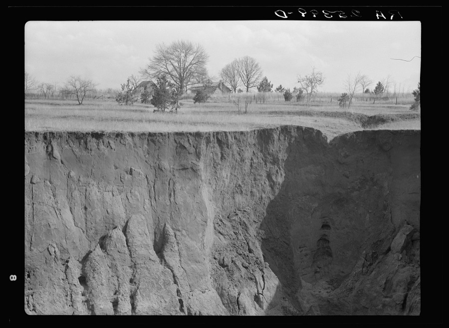
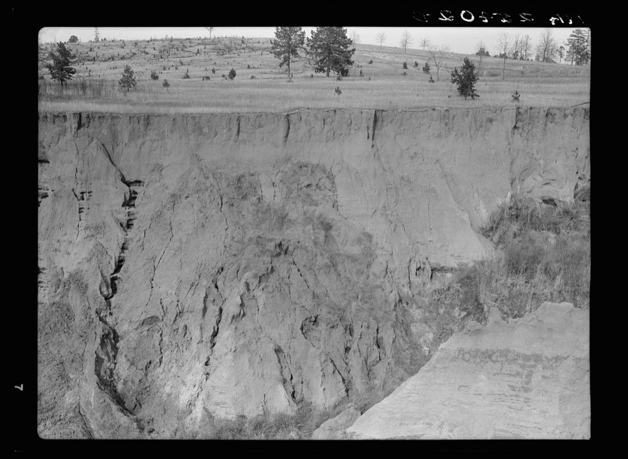
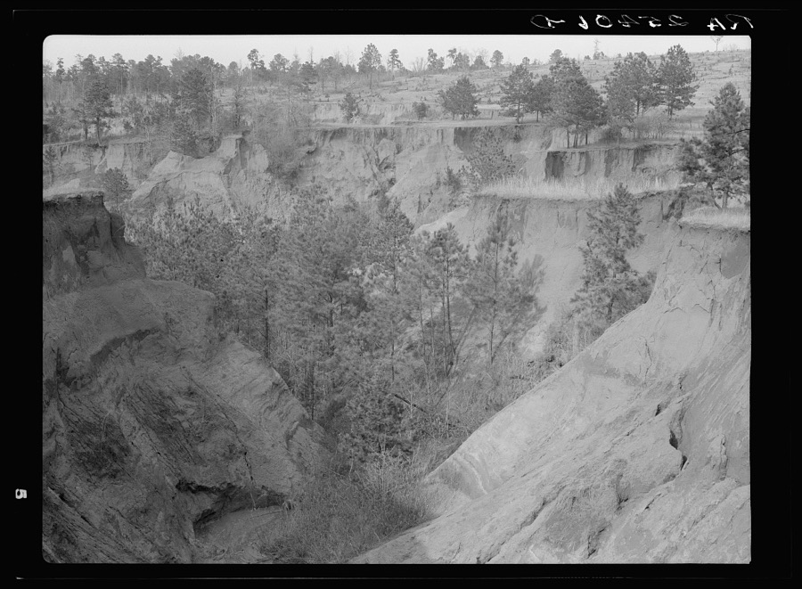
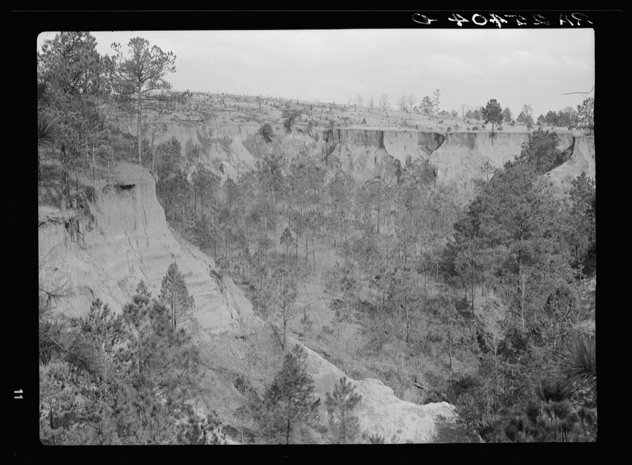
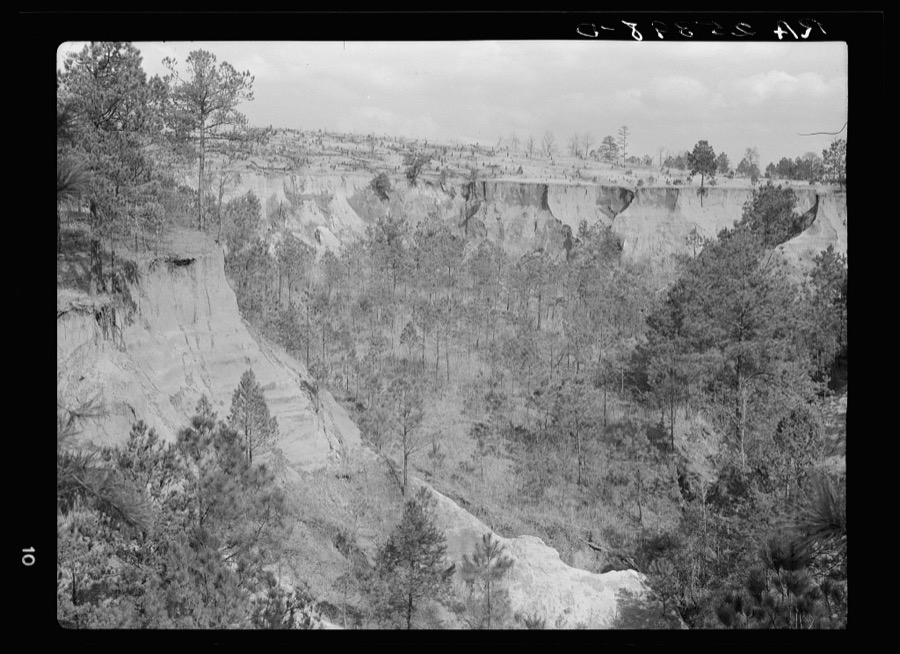
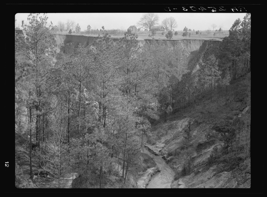
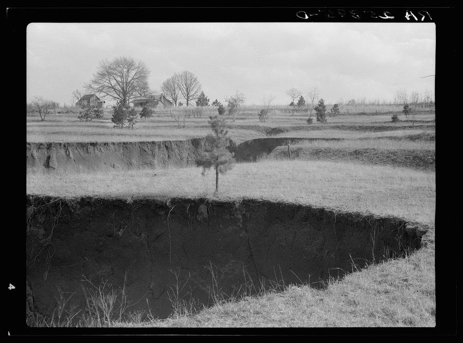
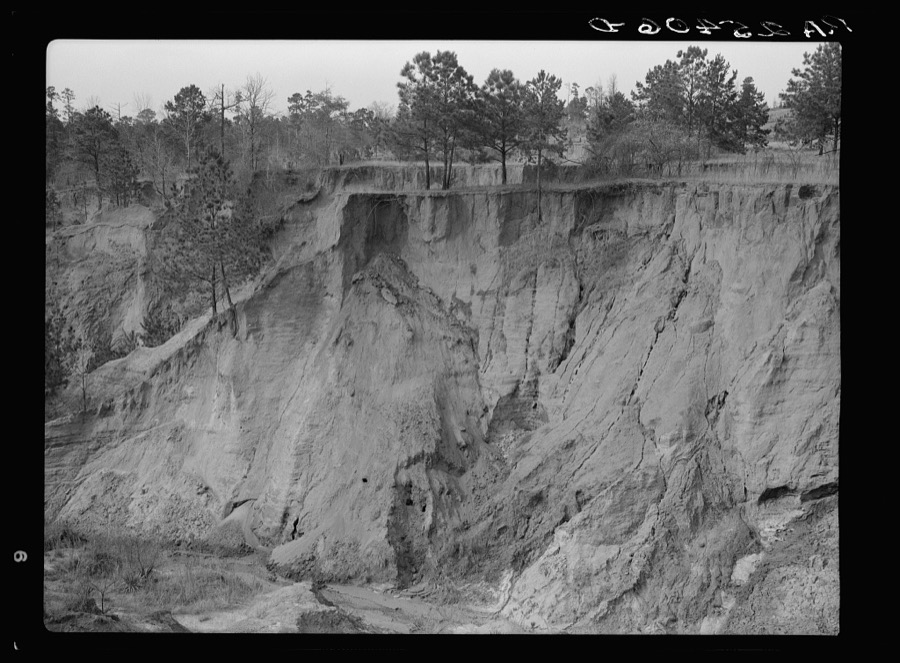
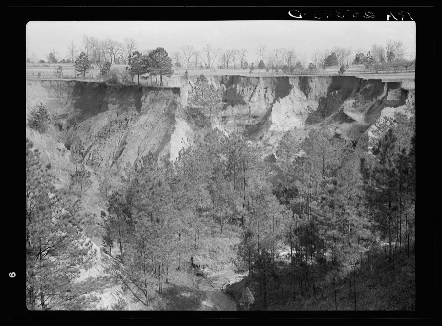
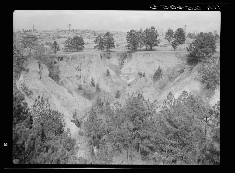
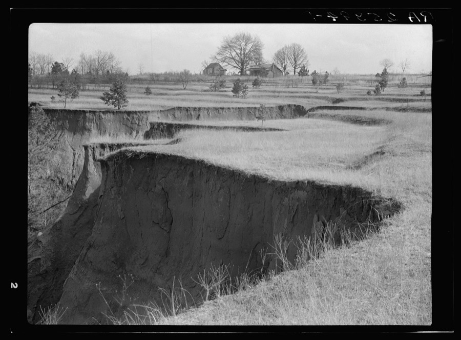
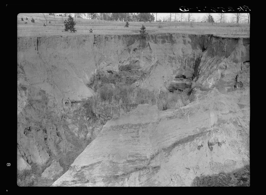
Every property in this county listed on the National Register of Historic Places, with the year it was listed and the federal nomination document.
| Photograph | Property | Type | Listed | Reference |
|---|---|---|---|---|
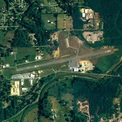 | Gragg Field Historic District | district | 2004 | 04000557 |
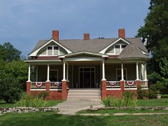 | Verbena | district | 1976 | 76002238 |
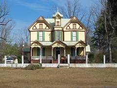 | Walker-Klinner Farm | district | 1987 | 87001849 |
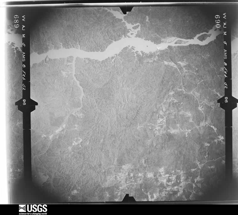
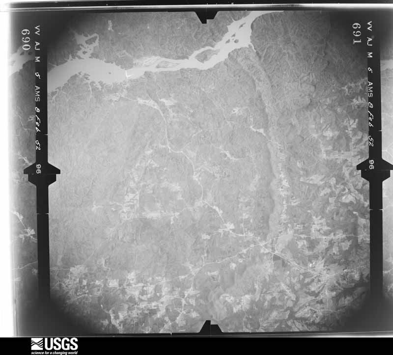
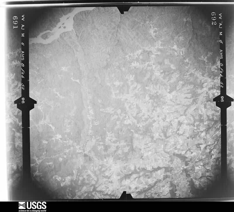
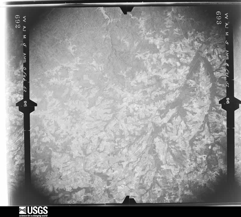
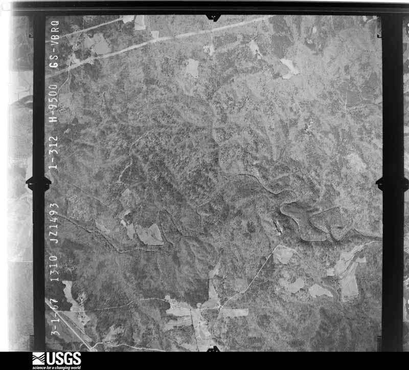
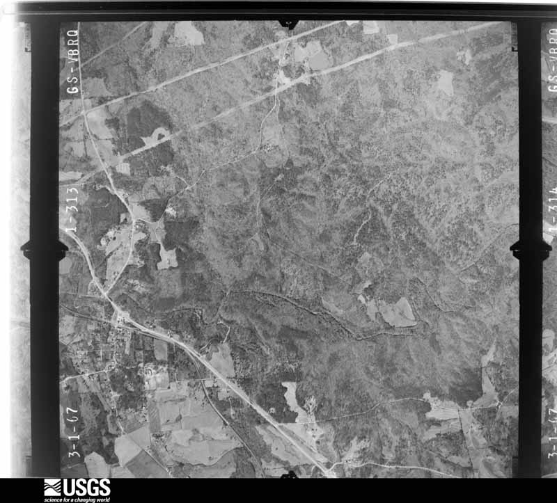
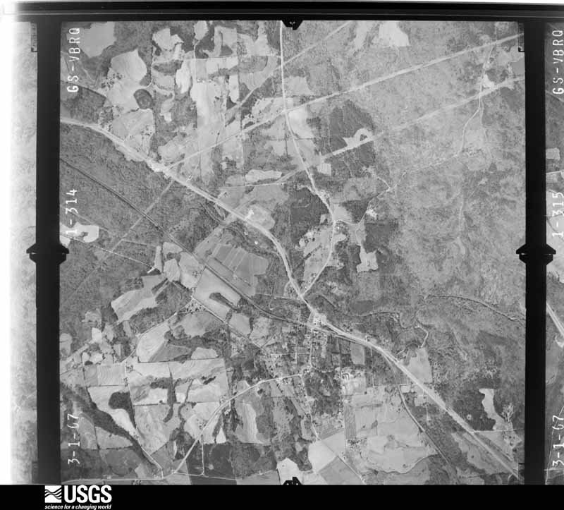
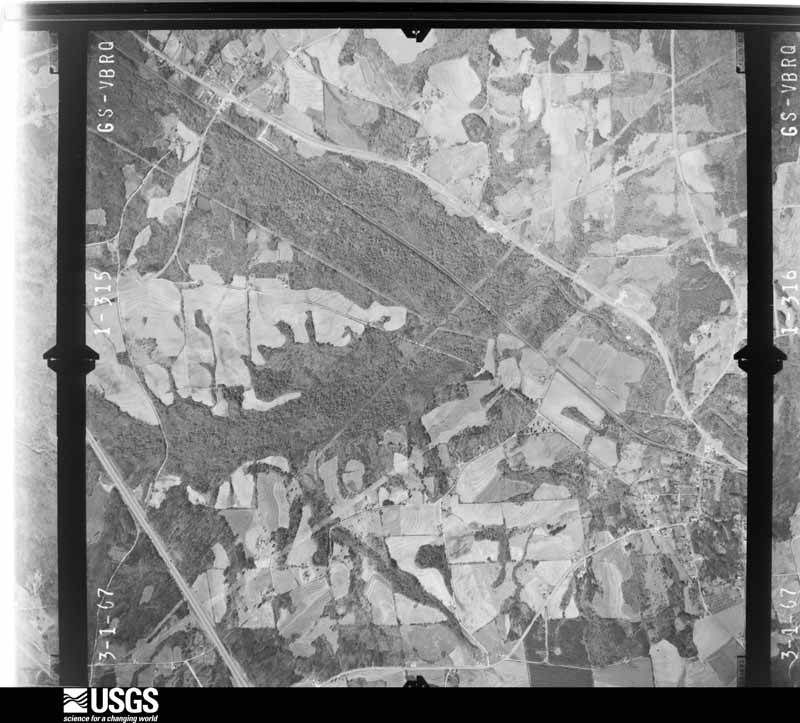
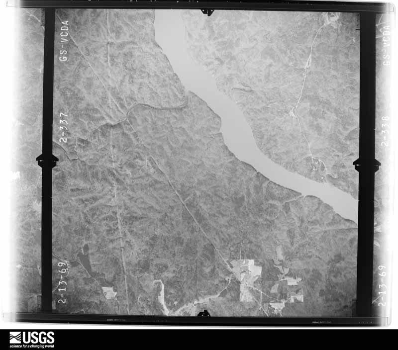
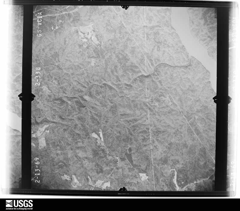
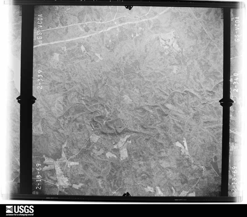
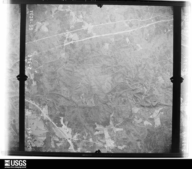
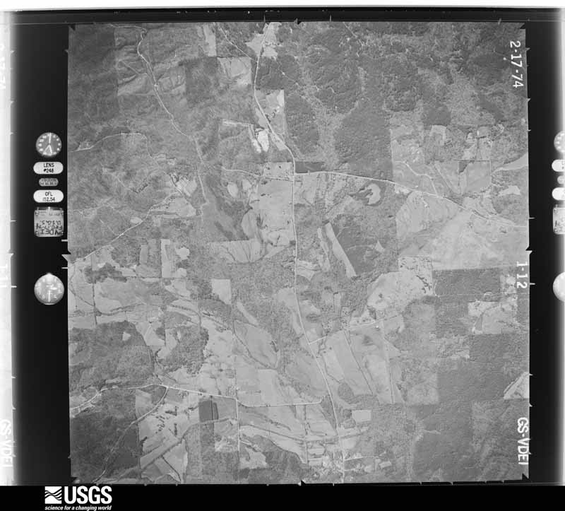
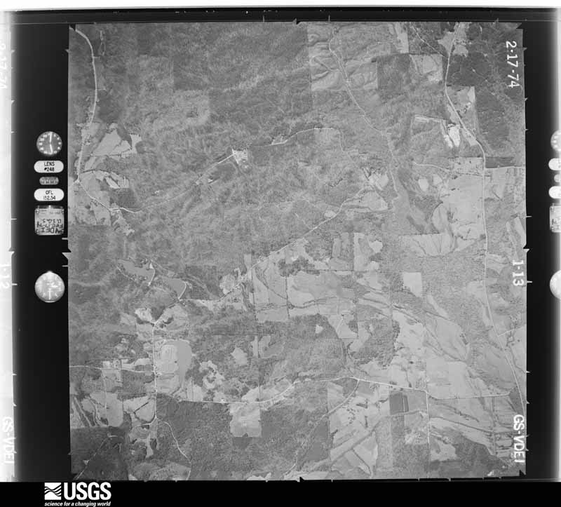
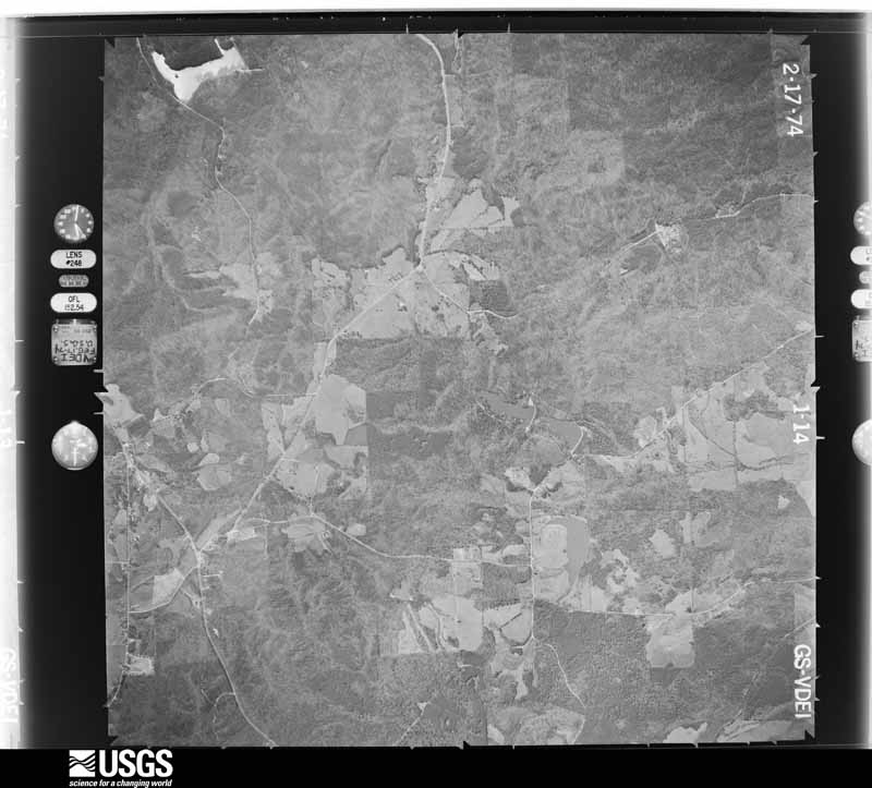
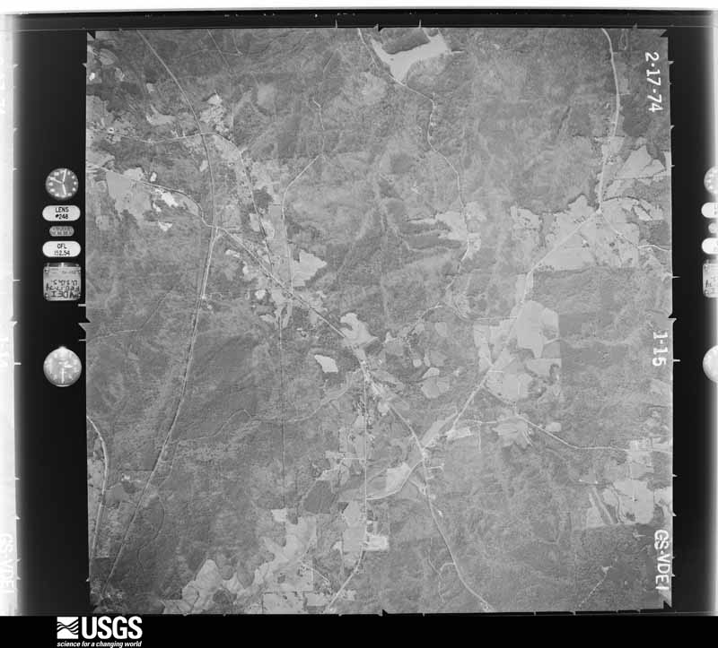
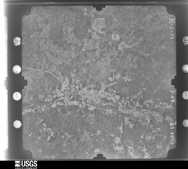
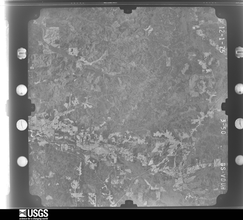
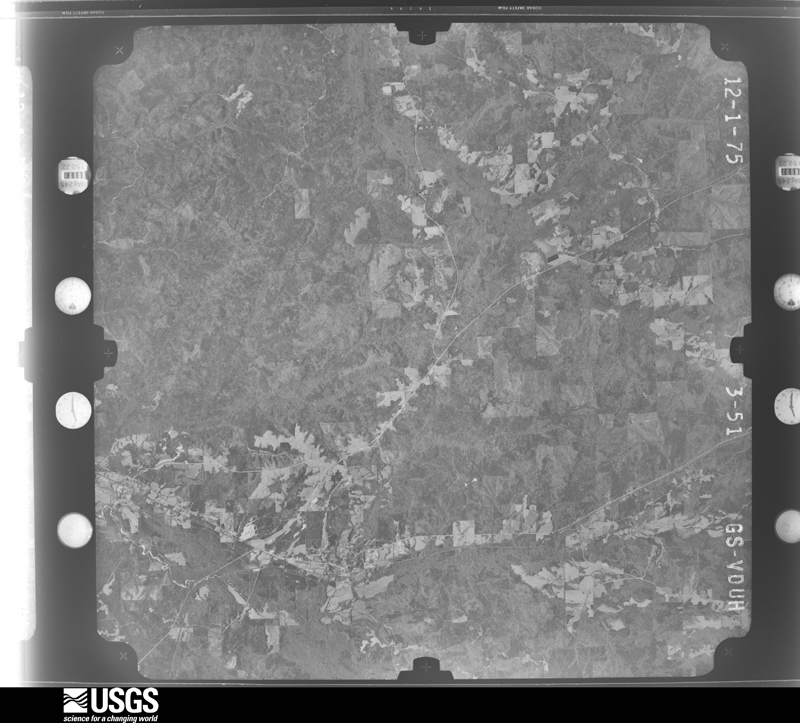
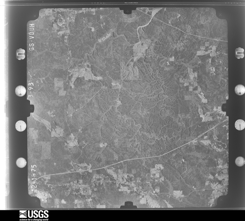
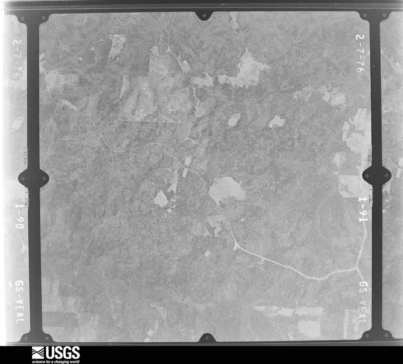
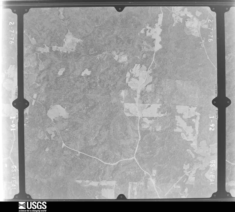
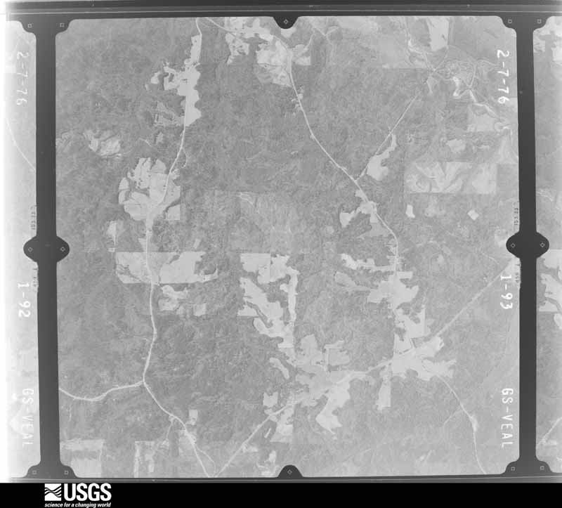
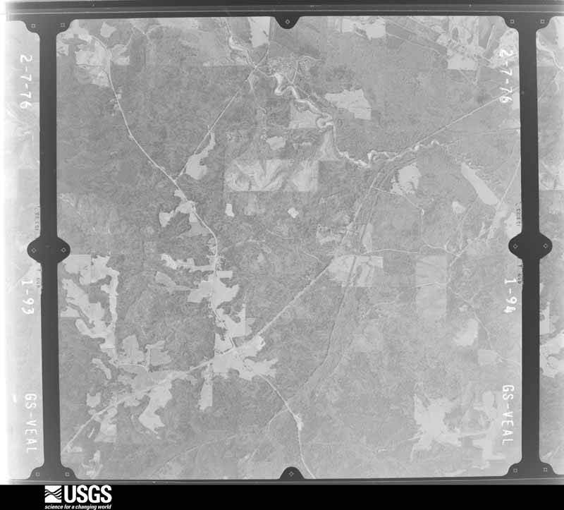
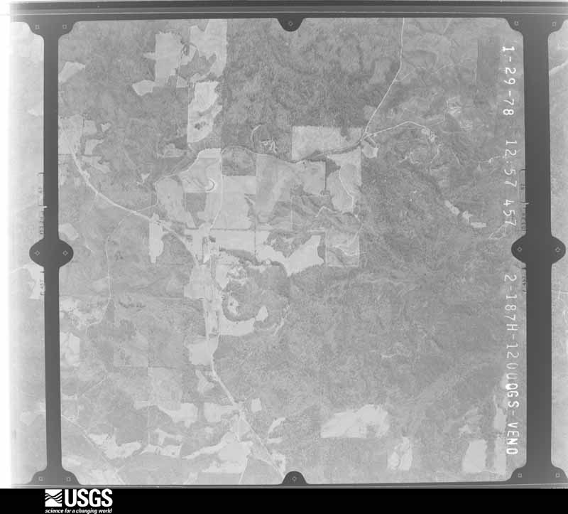
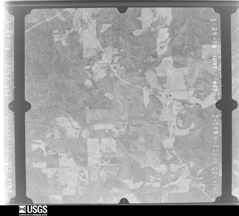
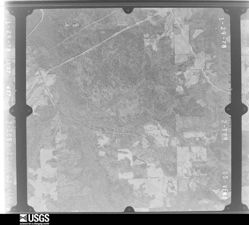
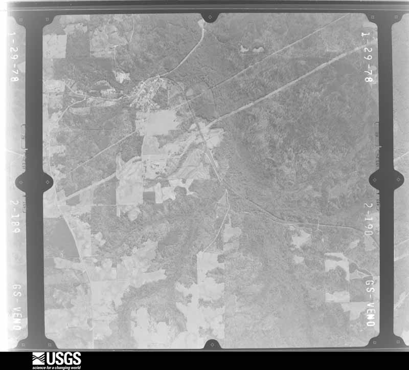
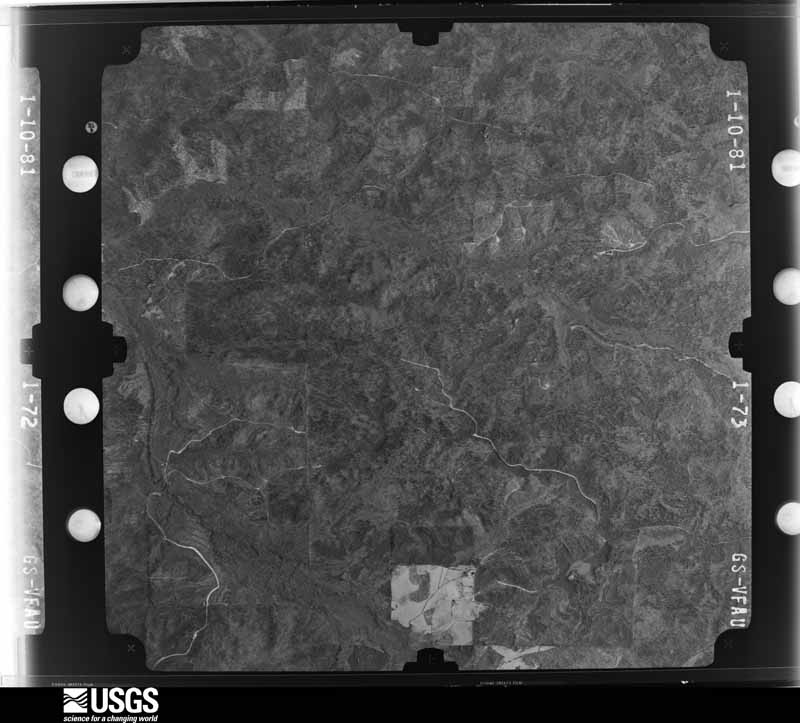
Flown by the U.S. Geological Survey between 1937 and 1989, the Aerial Photo Single Frames collection is the definitive mid-century view of the land: fields, roads and rivers as the camera saw them. The Survey holds 882 frames inside the rectangle that bounds this county; the 32 frames below were taken over the county itself, chosen across the decades of flights (at most four a year from that rectangle), so one flight cannot crowd out the rest. The full set is free to browse and download at EarthExplorer under the dataset Aerial Photo Single Frames.



The thermometers that kept this county's weather, and the gages that measured the flow of its streams, as the federal records hold them. The extremes below are measured values from those records, not estimates.
Who lived here in 1950, one enumeration district at a time, as the Census Bureau described each district. Each row opens its official National Archives result, with Population Schedules and ED Maps available there.
Every wildfire the federal occurrence database records inside this county: 1,789 of them, burning about 14,928 acres. 35 started naturally and 366 were recorded as arson. Each settlement page carries the fires within five miles of it.
| Reported cause | Fires |
|---|---|
| Debris and open burning | 745 |
| Arson/incendiarism | 366 |
| Missing data/not specified/undetermined | 365 |
| Recreation and ceremony | 146 |
| Equipment and vehicle use | 52 |
| Natural | 35 |
| Misuse of fire by a minor | 31 |
| Smoking | 31 |
| Railroad operations and maintenance | 8 |
| Other causes | 5 |
| Power generation/transmission/distribution | 3 |
| Fireworks | 2 |
The five largest, by the area the report gives. Three of them were set deliberately.
| Date | Cause | Size | Reported by | Name on the report |
|---|---|---|---|---|
| 2 April 2019 | Missing data/not specified/undetermined | 2,590 acres | National Forests in Alabama | 426 B |
| 14 May 2000 | Arson/incendiarism | 657 acres | Alabama Forestry Commission | not named |
| 11 October 2019 | Arson/incendiarism | 441 acres | National Forests in Alabama | 418C |
| 11 October 2019 | Arson/incendiarism | 214 acres | National Forests in Alabama | 426X |
| 16 April 2017 | Missing data/not specified/undetermined | 209 acres | Alabama Forestry Commission | 20170416-9 |
| 25 February 2002 | Debris and open burning | 200 acres | National Forests in Alabama | J.W. |
| 9 July 2012 | Natural | 200 acres | Alabama Forestry Commission | ECR-20120709-001 |
| 9 July 2012 | Natural | 186 acres | National Forests in Alabama | MUDCUT |
Every settlement page carries the fires within five miles of it - see the settlement index below.
The NOAA Storm Events Database holds 333 reports for this county, causing 2 deaths, 41 injuries and about $5,913,500 in recorded property damage. Each settlement page carries the reports that name it.
| Kind of event | Reports |
|---|---|
| Thunderstorm Wind | 168 |
| Hail | 93 |
| Tornado | 44 |
| Flash Flood | 15 |
| Lightning | 8 |
| Heavy Rain | 3 |
| Funnel Cloud | 2 |
The most serious of them, by death, then injury, then recorded damage. The accounts are quoted exactly as the forecast office filed them.
| When | Event | Place named | Harm | What the report says |
|---|---|---|---|---|
| November 1968 | Tornado (F3) | not stated | 1 killed, 24 hurt, $2,500,000 | no account filed |
| February 1996 | Flash Flood | Unknown | 1 killed | no account filed |
| January 1982 | Tornado (F2) | not stated | 6 hurt, $250,000 | no account filed |
| January 1982 | Tornado (F1) | not stated | 4 hurt, $25,000 | no account filed |
| March 1967 | Tornado (F1) | not stated | 4 hurt, $25,000 | no account filed |
| May 1953 | Tornado (F2) | not stated | 2 hurt, $25,000 | no account filed |
| April 2011 | Tornado (EF0) | Cooper | 1 hurt, $102,000 | A tornado briefly touched down near the intersection of US Hwy 31 and CR 24, just northwest of Verbena and uprooted a few oak trees. The tornado moved northeast, and crossed CR 597 where it damaged a metal carport of one single family home and the roof of a mobile home. In addition, many trees were knocked down in a 50 yd wide path. The tornado quickly dissipated along CR 59, south of CR 24. Damage along this path was consistent with an EF0 rating and winds of 80 mph. |
| November 2004 | Tornado (F2) | Pletcher | $500,000 | no account filed |
| January 1982 | Tornado (F2) | not stated | $250,000 | no account filed |
| March 1973 | Tornado (F2) | not stated | $250,000 | no account filed |
| December 1957 | Tornado (F1) | not stated | $250,000 | no account filed |
| November 1996 | Tornado (F0) | Clanton | $200,000 | no account filed |
| February 2008 | Tornado (EF1) | Falakto | $150,000 | Within a larger area of straight line wind damage, a short tornado damage path was found near and northeast of exit 205 on Interstate 65, southeast of the city of Clanton. The heaviest damage was sustained by a mobile home along County Road 41, where two large oak trees fell on the mobile home and demolished it. Several fast food restaurant signs and a couple of road signs were damaged or destroyed, and a couple hundred trees were also snapped off or uprooted. |
| April 2003 | Hail | Maplesville | $110,000 | The supercell continued on an almost eastward path through Chilton County. A swath of hail up to 3 inches in diameter was reported. The hail covered the ground in a few locations. The largest hail fell just northwest of Maplesville while most of the remainder of the county experienced hail up to 1.50 inches in diameter. Several trees were also blown down near Clanton and near Maplesville. Funnel clouds and a roaring sound were reported as the storm moved across the county. |
| January 1998 | Thunderstorm Wind | Clanton | $90,000 | What was believed to be a downburst damaged a number of structures and downed trees and power lines in central Chilton County between Clanton and Thorsby around New Salem Church and Collins Chapel. Two mobile homes were destroyed, five mobile homes were damaged, at least eight permanent homes were damaged, two vehicles were damaged, and a number of trees were down. Three poles along a major power line were also downed forcing US 31 traffic to be rerouted for several hours. The damage area was surveyed by NWS meteorologists and the damage pattern was consistent with straight-line wind. |
| April 2003 | Hail | Maplesville | $65,000 | The severe thunderstorm continued across southern Chilton County. Several trees were blown down along the path. Hail was observed up to 1.25 inches in diameter, but could have been larger. Many locations reported that the ground was totally covered by hail. |
| May 2009 | Thunderstorm Wind | Jemison | $60,000 | Several trees were snapped off along Interstate 65, between mile markers 219 and 212, and several more were blown down within the city of Jemison. An old store front was blown over in downtown Jemison. Four buildings suffered damage. At least 3 vehicles were damaged by fallen trees. The railroad tracks were blocked for several hours. The fence around the baseball field at Jemison High School was blown down. |
| May 2009 | Thunderstorm Wind | Maplesville | $50,000 | Trees and power lines were blown down around Maplesville. At least three homes and two mobile homes were damaged by the fallen trees. Fallen trees blocked the railroad tracks. Several outbuildings suffered varying degrees of roof damage. |
| September 2009 | Flash Flood | Jumbo | $50,000 | Several county roads around Chilton County became impassable due to flooding. The hardest hit was CR-61, in the Jumbo community, where floodwater and associated debris caused several large sections of the paved road to wash out. |
| April 2000 | Tornado (F0) | Jemison | $50,000 | A weak tornado touched down just south of the city of Jemison. The tornado knocked down some power lines along US 31 that went over the top of a train. A few automobiles were flipped over and severely damaged. Numerous trees and power lines were blown down along the path. Several homes sustained varying degrees of roof damage. One home had the front porch removed. Beginning: 32 56.282/86 44.206 Ending: 32 56.840/86 43.392 |
| March 2005 | Thunderstorm Wind | Verbena | $45,000 | A severe thunderstorm caused extensive roof damage to two mobile homes in the Midway community just southeast of Verbena. One out-building suffered damage and several large tree limbs were snapped off. |
| May 2004 | Thunderstorm Wind | Jemison | $45,000 | Numerous trees and power lines were blown down just north of Jemison. The damage began near CR 770, traveled in a southeast direction, and ended near CR 51. The damage occurred in a 2.4 mile long path that was approximately one half of a mile wide. One home sustained damage, a few signs were knocked down, and a few outbuildings were damaged. |
| March 2010 | Tornado (EF1) | Clanton | $35,000 | The tornado touched down just northwest of the city limits of Clanton, near the intersection of CR-406 and CR-53. From there it moved east-northeast into the northern part of the city, and lifted just after crossing US-31 west of the hospital. At least five structures received damage, with much of it consisting of shingles being blown off. One garage and a gazebo were heavily damaged, and one large storage building was totally destroyed with debris scattered nearly 1 1/2 miles downstream. Eight to 10 hardwood trees were uprooted and 6 to 9 smaller hard and soft wood trees were snapped. |
| March 2011 | Heavy Rain | Verbena | $30,000 | Heavy rain reduced visibility and caused slick roadways along Interstate 65 near the Chilton and Autauga county line. As traffic moved slowly due to the thunderstorm and high volume of spring break travelers, a vehicle traveling south hydroplaned and crossed the median, hitting northbound traffic. The accident resulted in 5 fatalities (indirect) and at least 4 injuries (indirect). In addition, three vehicles were destroyed. |
| July 1998 | Lightning | Thorsby | $30,000 | Six horses were killed by lightning in the Mineral Springs community. |
| January 1998 | Flash Flood | Countywide | $30,000 | no account filed |
| June 2009 | Thunderstorm Wind | Clanton Gragg Arpt | $25,000 | A large sign for a restaurant and motel was blown down onto a road, briely blocking it. |
| January 2008 | Thunderstorm Wind | Clanton | $25,000 | The roof of a storage trailer was blown off, a tree fell on a car, and a wooden storage shed was destroyed. |
| July 2000 | Thunderstorm Wind | Countywide | $25,000 | Numerous trees and power lines were knocked down throughout Chilton County. A few of the trees landed on vehicles. |
| February 1996 | Thunderstorm Wind | Clanton | $25,000 | no account filed |
| December 1983 | Tornado (F1) | not stated | $25,000 | no account filed |
| March 1976 | Tornado (F2) | not stated | $25,000 | no account filed |
| March 1975 | Tornado (F1) | not stated | $25,000 | no account filed |
| April 1958 | Tornado (F1) | not stated | $25,000 | no account filed |
| March 2000 | Thunderstorm Wind | Clanton | $20,000 | A few trees were blown down in and around the city of Clanton. One tree fell on a home in Clanton, causing moderate roof damage. One light pole was knocked over in the Chilton Mart Shopping Center. |
| June 2004 | Thunderstorm Wind | Thorsby | $17,000 | Several trees and power lines were blown down along CR 29 between Thorsby and Lomax. One old barn and a few outbuildings were destroyed in Lomax. |
| May 1998 | Thunderstorm Wind | Jemison | $15,000 | About a half dozen trees were down along I-65 north of Jemison along the west side of the interstate. |
| August 1998 | Thunderstorm Wind | Clanton | $15,000 | no account filed |
| March 1996 | Hail | Verbena | $15,000 | no account filed |
| August 2011 | Thunderstorm Wind | Kincheon | $12,000 | Numerous trees were knocked down across south central Chilton county, blocking several county roads, including County Road 24, County Road 47, County Road 7 and County Road 49. In addition, the metal roof of several mobile homes along County Road 24 was partially removed. |
| February 2003 | Flash Flood | Jemison | $12,000 | County Road 46 was flooded as heavy rain fell in a short period of time. One vehicle was stranded in the high water and two occupants were rescued by the fire department. |
| March 2003 | Thunderstorm Wind | Countywide | $12,000 | Numerous trees and power lines were knocked down across the county. The most concentrated areas of damage were along US 82 north of Maplesville, just north of Isabella, west of Clanton on Highway 22, and near Collins Chapel. Alabama Power estimated that up to 1500 customers were temporarily without power in Chilton County. |
| July 1999 | Flash Flood | Thorsby | $12,000 | Radar estimated that two to four inches of rain fell across parts of Chilton County in less than three hours. This caused many roads in Thorsby to become flooded. |
| April 1996 | Thunderstorm Wind | Clanton | $12,000 | no account filed |
| May 2009 | Thunderstorm Wind | Clanton Gragg Arpt | $10,000 | Several trees were blown down in the city of Clanton. At least one home was damaged by fallen trees. |
| September 2009 | Tornado (EF0) | Lomax | $10,000 | The tornado touched down near the intersection of Reed Road and Judge Avenue, where it removed a few shingles off of a home and peeled back the tin roof of an outbuilding. It continued north-northeastward across Old Henry Road, to the intersection of US-31 and Lomax Drive. Eyewitnesses at this location photographed the tornado as it moved away. A metal roof was totally lifted off of an outbuilding, with portions of this debris deposited nearly a half mile downstream. Damage was|relatively minor and limited to a very narrow yet discernible path. Peak winds were estimated between 60 and 70 mph. |
| February 2008 | Thunderstorm Wind | Kincheon | $10,000 | Downburst winds, estimated around 70 mph, blew down numerous trees and power lines, near and southwest of the city of Clanton. |
| April 2008 | Thunderstorm Wind | Pletcher | $10,000 | A roof was blown off a house on US 82, near the Autauga County line. |
| July 2003 | Thunderstorm Wind | Countywide | $10,000 | Numerous trees were knocked down across the county. |
| August 2002 | Thunderstorm Wind | Jemison | $10,000 | An estimated 60 mile an hour wind blew through Jemison. A church sustained roof and siding damage. Several trees were blown down along SR 155. Many lightning strikes occurred from Jemison to Clanton and minor damage was reported. |
| June 1998 | Thunderstorm Wind | Clanton | $10,000 | Several trees and power lines were down in Clanton, leaving about 5000 people without power for several hours. |
| September 2002 | Flash Flood | Countywide | $10,000 | no account filed |
| May 1996 | Hail | Clanton | $10,000 | no account filed |
| June 1996 | Thunderstorm Wind | Maplesville | $10,000 | no account filed |
| December 1996 | Hail | Jemison | $10,000 | no account filed |
| March 2005 | Thunderstorm Wind | Clanton | $8,000 | Trees and power lines were blown down in the Fairview area. |
| June 2001 | Thunderstorm Wind | Countywide | $8,000 | Several trees were blown down throughout Chilton County. On Interstate 65 at Exit 212, a Chevron gas station had one of its gas pumps blown over. |
| August 1997 | Thunderstorm Wind | Jemison | $8,000 | A portion of the roof of a house under construction was ripped off. Several large trees were knocked down. |
| September 2004 | Flash Flood | Countywide | $8,000 | no account filed |
| August 1998 | Hail | Clanton | $8,000 | no account filed |
The Survey's mineral resources record lists 65 workings inside this county. 9 still produce and 56 are closed or unrecorded. Each settlement page carries the workings within five miles of it.
| Commodity | Workings |
|---|---|
| Iron | 29 |
| Gold | 18 |
| Sand and Gravel, Construction | 6 |
| Clay | 5 |
| Mica | 4 |
| Kyanite | 3 |
| Copper, Iron, Arsenic | 1 |
| Graphite | 1 |
| Arsenic, Copper, Gold | 1 |
The least common of them first, because a county's hundredth gravel pit says nothing its first ten did not.
| Where | Site | Commodity | Status | Recorded |
|---|---|---|---|---|
| B. T. Childers Prospect | Arsenic, Copper, Gold | Occurrence | 1929 | |
| B.T. Childer's Prospect | Gold, Copper, Iron, Arsenic | Occurrence | Chalcopyrite, Gold, Pyrite | |
| Bama Graphite Mine | Graphite | Past Producer | ||
| Brand Prospect | Kyanite | Occurrence | ||
| Foshee Kyanite Prospect | Kyanite | Prospect | ||
| Maddox Mica Mine | Mica, Kyanite | Past Producer | ||
| Fitzpatrick Mica Prospect No 1 | Mica | Prospect | ||
| Fitzpatrick Mica Prospect No 2 | Mica | Prospect | ||
| Old Maddox Mine | Mica | Past Producer | ||
| Chi 1 Clay Prospect | Clay | Prospect | ||
| Frye Shale Pit | Clay | Producer | ||
| Jemison | Clay | Producer | ||
| Jenkins Pit | Clay | Producer | ||
| Wessington Shale Prospect | Clay | Prospect | ||
| Camp Ambassador Pit | Sand and Gravel, Construction | Producer | ||
| Jemison Mine and Mill | Sand and Gravel, Construction | Producer | ||
| Jemison Quarry | Sand and Gravel, Construction | Producer | Unconsolidated Sediments | |
| Pierce Pit | Sand and Gravel, Construction | Producer | ||
| Unnamed Quarry | Sand and Gravel, Construction | Producer | Quartz | |
| White Chert Pit | Sand and Gravel, Construction | Producer | ||
| B. T. Childer Prospect | Gold | Past Producer | Vein | |
| Franklin Mine | Gold | Occurrence | Gold | |
| Franklin Mine | Gold | Past Producer | ||
| Honeycutt's Mill Placer | Gold | Past Producer | ||
| Honeycutt's Mill Placer Mine | Gold, Iron | Past Producer | 1842, 1892 | |
| Mulberry Creek Placer | Gold | Past Producer | Placer | |
| Mulberry Creek Placer | Gold | Past Producer | Placer | |
| Mulberry Creek Placer | Gold | Past Producer | ||
| Rippatoe Mine and Placer | Gold | Past Producer | Vein | |
| Rippatoe Placer | Gold | Past Producer | 1835 | |
| Rippatoe Placer | Gold | Past Producer | ||
| Rocky Creek Placer | Gold | Past Producer | Placer | |
| Rocky Creek Placer | Gold | Past Producer | ||
| Rocky Creek Placer Mine | Gold | Past Producer | 1872 | |
| Unnamed Gold Placer Prospect | Gold | Occurrence | Gold | |
| William Howard Property | Gold | Occurrence | Gold | |
| William Howard Prospect | Gold | Prospect | ||
| Bama Pit | Iron | Unknown | ||
| Booth | Iron | Unknown | ||
| Boyd Pit | Iron | Past Producer | Surface | |
| Boyd Pit | Iron | Unknown | ||
| Davis Pit | Iron | Unknown | ||
| Dean Pit | Iron | Unknown | ||
| Heatley Prospect | Iron | Occurrence | ||
| Hubbard Iron Mine | Iron | Past Producer | ||
| Lamar 1 Pit | Iron | Unknown | ||
| Lamar 2 Pit | Iron | Unknown | ||
| Mayfield Pit | Iron | Unknown | ||
| Mountain Creek B | Iron | Past Producer | Residual | |
| Mountain Creek C | Iron | Past Producer | Residual | |
| Mountain Creek Iron Ore District | Iron | Past Producer | GOSSAN | |
| Moutain Creek District | Iron | Past Producer | Residual | |
| Nelson Iron Prospect | Iron | Occurrence | ||
| Outcrop | Iron | Unknown | ||
| Outcrop | Iron | Unknown | ||
| Rocky Mount | Iron | Unknown | ||
| Unnamed | Iron | Unknown | ||
| Unnamed | Iron | Unknown | ||
| Unnamed | Iron | Unknown | ||
| Unnamed | Iron | Unknown | ||
| Unnamed | Iron | Unknown | ||
| Unnamed | Iron | Unknown | ||
| Unnamed | Iron | Unknown | ||
| Unnamed | Iron | Unknown | ||
| Unnamed | Iron | Unknown |
Named settlements recorded in the Geographic Names Information System, each with the topographic sheets covering it. Villages, hamlets and abandoned places alike. Each is shown with the nearest named watercourse or landform and the survey quadrangle it falls on. The 1 place that was also surveyed for fire insurance comes first, with the number of atlases and photographs held for them.
Clanton census division · 35045 · On Black Snake Creek · Clanton West quadrangle
14 sheets, 1891 to 1987
Fire insurance: 3 atlases
Jemison census division · 35085 · On Cressie Branch · Jemison West quadrangle
15 sheets, 1891 to 1987
Jemison census division · 35085 · On Abbott Branch · Jemison West quadrangle
15 sheets, 1891 to 1987
Jemison census division · 35085 · On Pig Pen Creek · Jemison East quadrangle
15 sheets, 1891 to 1987
Verbena census division · 36091 · On South Prong Chestnut Creek · Clanton East quadrangle
15 sheets, 1891 to 1987
Maplesville census division · 36790 · On Boggles Creek · Plantersville quadrangle
17 sheets, 1891 to 2002
Isabella-Pletcher census division · 35045 · Clanton West quadrangle
14 sheets, 1891 to 1987
Mineral Springs census division · 35046 · Near Chandler Mountain · Lay Dam quadrangle
15 sheets, 1891 to 1987
Isabella-Pletcher census division · 35045 · Clanton West quadrangle
14 sheets, 1891 to 1987
Jemison census division · 35085 · On Little Creek · Jemison West quadrangle
15 sheets, 1891 to 1987
Isabella-Pletcher census division · 36750 · On Sandy Branch · Maplesville East quadrangle
15 sheets, 1891 to 1987
Mineral Springs census division · 35046 · On Blue Gut Creek · Lay Dam quadrangle
15 sheets, 1891 to 1987
Isabella-Pletcher census division · 35045 · On Talley Branch · Clanton West quadrangle
14 sheets, 1891 to 1987
Maplesville census division · 36750 · On Byrd Creek · Maplesville East quadrangle
15 sheets, 1891 to 1987
Jemison census division · 35085 · On Reaves Creek · Jemison West quadrangle
15 sheets, 1891 to 1987
Mineral Springs census division · 35046 · On Turkey Creek · Jemison East quadrangle
15 sheets, 1891 to 1987
Jemison census division · 35040 · On Clear Creek · Montevallo quadrangle
19 sheets, 1890 to 1984
Maplesville census division · 36750 · On Gin Creek · Maplesville East quadrangle
15 sheets, 1891 to 1987
Jemison census division · 35040 · On Clear Creek · Montevallo quadrangle
19 sheets, 1890 to 1984
Maplesville census division · 36790 · On Harris Branch · Plantersville quadrangle
17 sheets, 1891 to 2002
Isabella-Pletcher census division · 36750 · On Beaver Branch · Pletcher quadrangle
16 sheets, 1891 to 1987
Isabella-Pletcher census division · 35045 · On Talley Branch · Billingsley quadrangle
17 sheets, 1891 to 1987
Jemison census division · 35085 · On Cressie Branch · Jemison West quadrangle
15 sheets, 1891 to 1987
Maplesville census division · 36758 · On Martin Creek · Plantersville quadrangle
17 sheets, 1891 to 2002
Maplesville census division · 36790 · On Blue Branch · Plantersville quadrangle
17 sheets, 1891 to 2002
Jemison census division · 35171 · On Ram Branch · Jemison East quadrangle
15 sheets, 1891 to 1987
Mineral Springs census division · 35085 · Jemison East quadrangle
15 sheets, 1891 to 1987
Verbena census division · 36091 · On South Prong Chestnut Creek · White City quadrangle
17 sheets, 1891 to 1987
14 topographic sheets and 3 fire insurance atlases, 1917 to 1938