 Block
From the record
1 National Register listing published here.
Sources: the National Register database, National Park Service
54 topographic sheets cover 69 settlements here, and 1 property is on the National Register of Historic Places.
1 National Register listing published here.
Sources: the National Register database, National Park Service
Every property in this county listed on the National Register of Historic Places, with the year it was listed and the federal nomination document.
| Photograph | Property | Type | Listed | Reference |
|---|---|---|---|---|
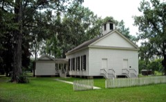 | Mount Sterling Methodist Church | building | 1986 | 86000995 |
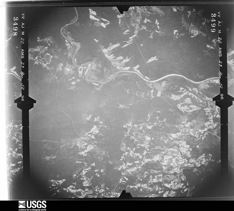
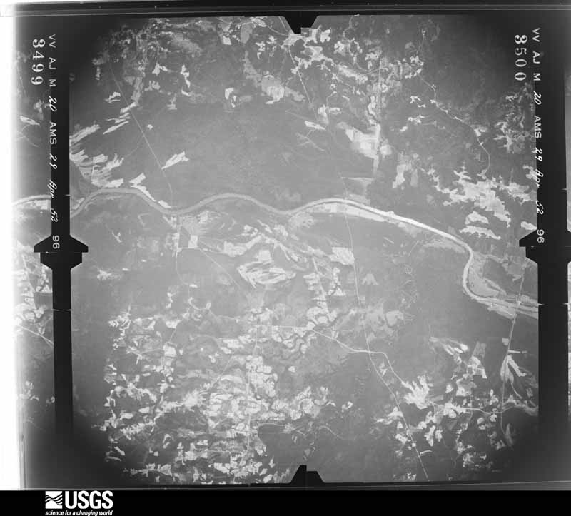
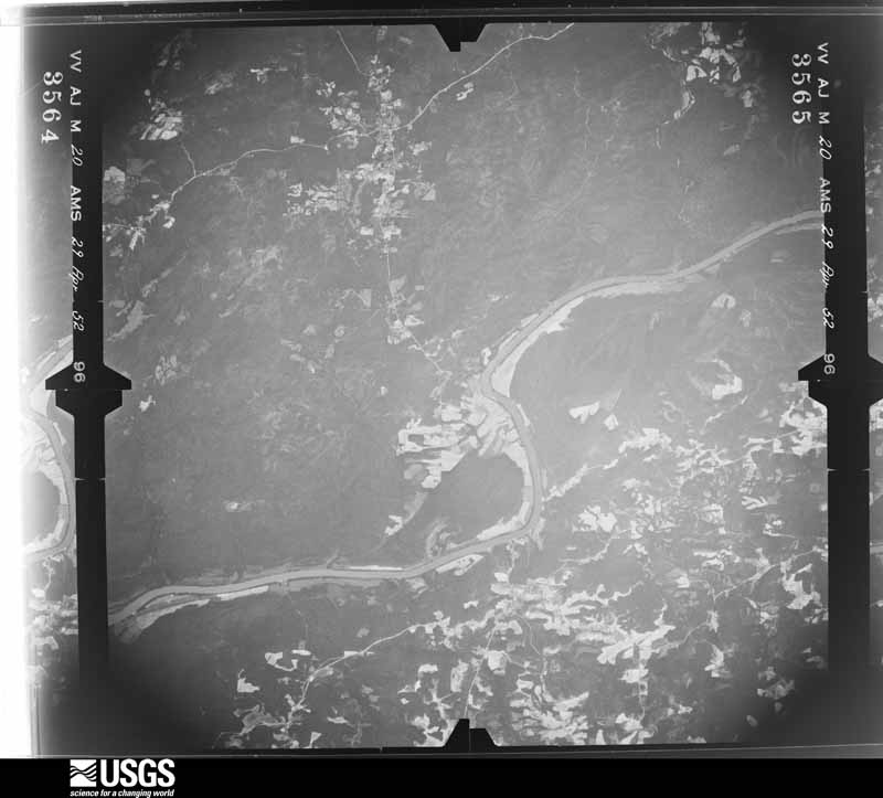
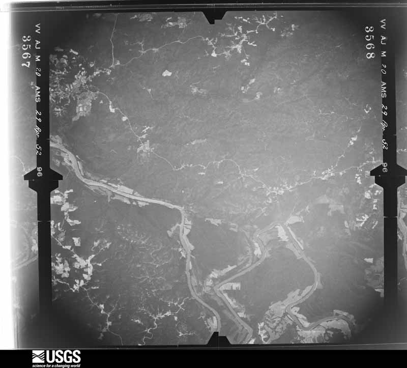
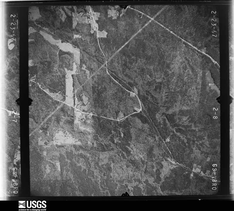
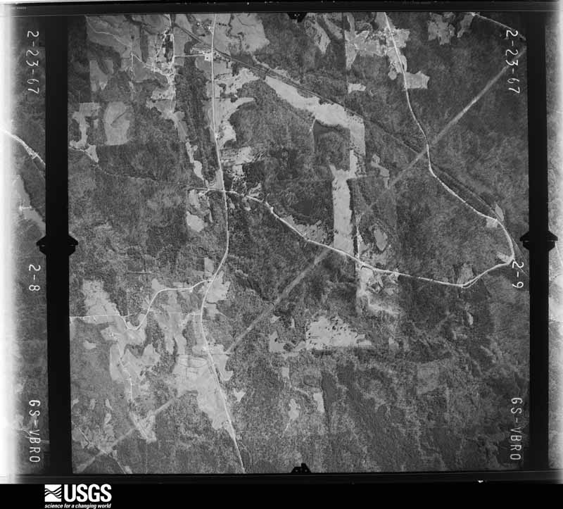
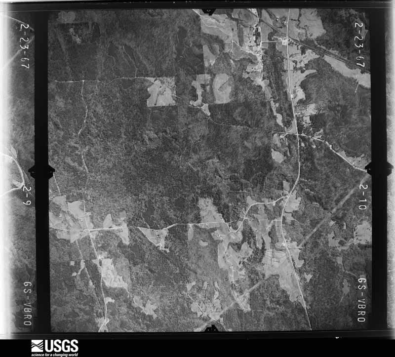
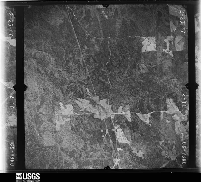
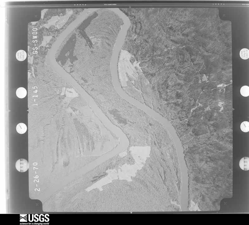
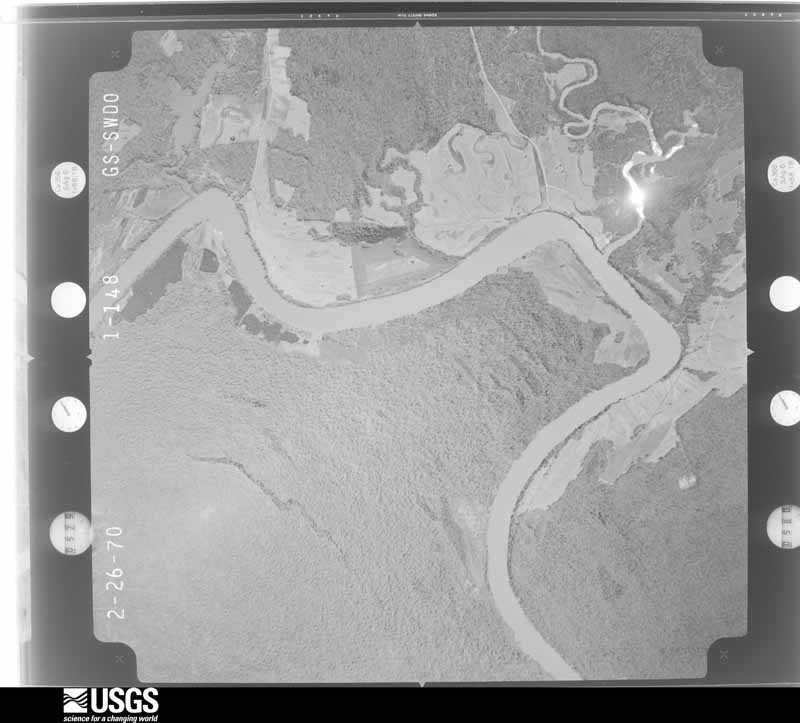
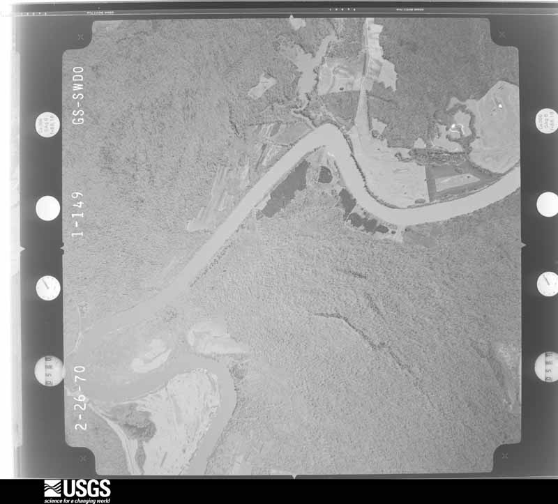
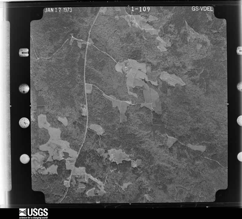
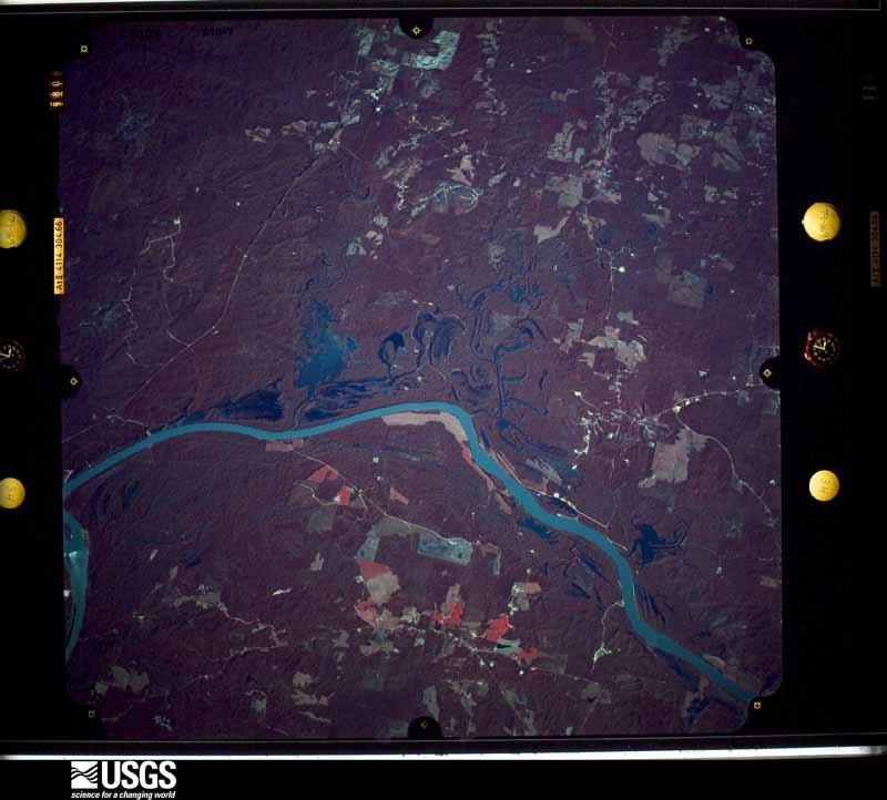
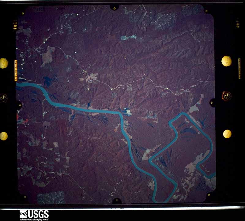
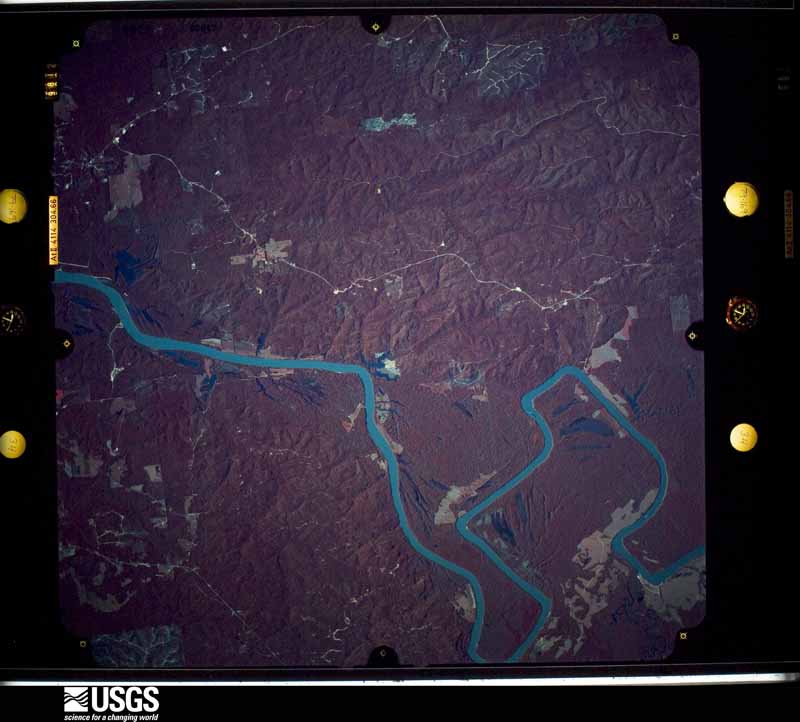
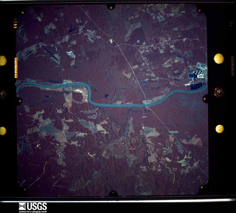
Flown by the U.S. Geological Survey between 1937 and 1989, the Aerial Photo Single Frames collection is the definitive mid-century view of the land: fields, roads and rivers as the camera saw them. The Survey holds 1,395 frames inside the rectangle that bounds this county; the 23 frames below were taken over the county itself, chosen across the decades of flights (at most four a year from that rectangle), so one flight cannot crowd out the rest. The full set is free to browse and download at EarthExplorer under the dataset Aerial Photo Single Frames.
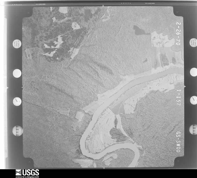



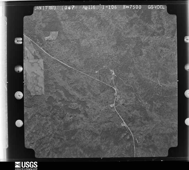
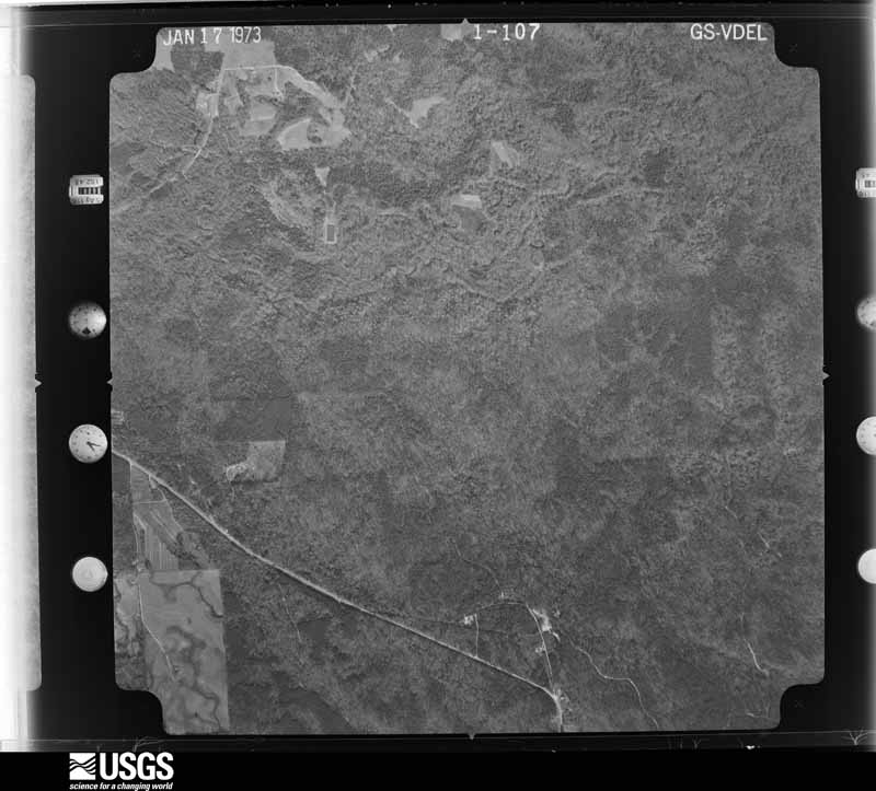
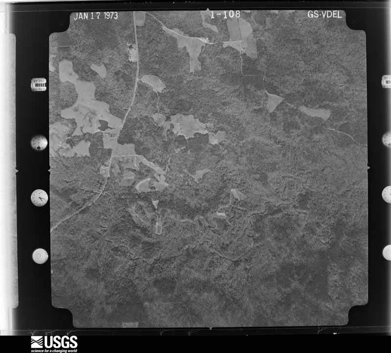
The thermometers that kept this county's weather, and the gages that measured the flow of its streams, as the federal records hold them. The extremes below are measured values from those records, not estimates.
Who lived here in 1950, one enumeration district at a time, as the Census Bureau described each district. Each row opens its official National Archives result, with Population Schedules and ED Maps available there.
Every wildfire the federal occurrence database records inside this county: 787 of them, burning about 8,037 acres. 6 started naturally and 84 were recorded as arson. Each settlement page carries the fires within five miles of it.
| Reported cause | Fires |
|---|---|
| Debris and open burning | 302 |
| Missing data/not specified/undetermined | 246 |
| Arson/incendiarism | 84 |
| Recreation and ceremony | 57 |
| Equipment and vehicle use | 39 |
| Smoking | 20 |
| Misuse of fire by a minor | 12 |
| Railroad operations and maintenance | 10 |
| Power generation/transmission/distribution | 7 |
| Natural | 6 |
| Other causes | 4 |
The five largest, by the area the report gives. Three of them were set deliberately.
| Date | Cause | Size | Reported by | Name on the report |
|---|---|---|---|---|
| 21 January 1999 | Debris and open burning | 345 acres | Alabama Forestry Commission | not named |
| 18 July 2006 | Arson/incendiarism | 320 acres | Alabama Forestry Commission | CYRIL |
| 29 January 2015 | Missing data/not specified/undetermined | 312 acres | Alabama Forestry Commission | SWR-20150129-006 |
| 27 June 2006 | Natural | 312 acres | Alabama Forestry Commission | CHOCTAW-4 |
| 8 March 2000 | Arson/incendiarism | 220 acres | Alabama Forestry Commission | not named |
| 10 June 2006 | Equipment and vehicle use | 175 acres | Alabama Forestry Commission | CHOCTAW-2 |
| 13 February 1996 | Debris and open burning | 160 acres | Alabama Forestry Commission | not named |
| 7 January 2006 | Arson/incendiarism | 158 acres | Alabama Forestry Commission | CHOCTAW |
Every settlement page carries the fires within five miles of it - see the settlement index below.
The NOAA Storm Events Database holds 328 reports for this county, causing 4 deaths, 9 injuries and about $20,623,250 in recorded property damage. Each settlement page carries the reports that name it.
| Kind of event | Reports |
|---|---|
| Thunderstorm Wind | 171 |
| Hail | 70 |
| Flash Flood | 46 |
| Tornado | 34 |
| Lightning | 4 |
| Funnel Cloud | 3 |
The most serious of them, by death, then injury, then recorded damage. The accounts are quoted exactly as the forecast office filed them.
| When | Event | Place named | Harm | What the report says |
|---|---|---|---|---|
| May 1953 | Tornado (F4) | not stated | 2 killed, 3 hurt, $25,000 | no account filed |
| January 1998 | Flash Flood | Countywide | 1 killed, $20,000 | Three to five inches of rain caused extensive flooding and road closures throughout the county. Most of the roads that had to be closed were secondary dirt roads. One death was attributed to the flooding. Two persons were driving along a county road six miles east of Gilbertown. Their automobile became stranded near a bridge across Okatuppa Creek. The rapidly rising current flowing across the road washed the automobile into the creek. One of the passengers was able to swim to shore and the other drowned. |
| March 2005 | Flash Flood | Countywide | 1 killed | Heavy rains caused several roads across Choctaw county to have standing water in them. Several roads had to be closed for more than an hour due to high water. Radar estimated that five to six inches of rain fell across the county between 630 and 900 AM. A male drowned during the heavy rain event just south of Pushmataha. The sixty-three year old male went to check on some property he used for a hunting camp. The male knew about the flooding and had driven across a bridge that was closed for construction. His truck was then washed off the road. He was able to get out of his truck and was walking along a road and tried to cross a flooded spot in the road. Evidently the water washed him off the road and his body was not found until three days later. Unfortunately, the man passed several locations where he could have escaped the flood waters, but for unknown reasons he chose to keep walking. |
| January 2017 | Tornado (EF2) | Lou | 4 hurt, $750,000 | The tornado first touched down on Clark Road near Gilbertown and continued 15 miles to the northeast to the Choctaw and Marengo County line. The tornado then crossed the Tombigbee River and continued into Marengo County. A total of 24 structures were damaged by the tornado along its path. 4 residences were completely destroyed, 2 of which were mobile homes with the other 2 homes having no attached foundation. 2 other mobile homes were destroyed by downed trees. Another 20 structures experienced varying degrees of damage, some of which included major roof damage. The EF-2 intensity damage was located on Chapel Hill Road, Wimberly Road, and Pleasant Hill Road. 4 people were injured with 2 receiving significant, but non life threatening injuries after they were ejected 100-200 yards from their destroyed mobile home. Damage estimates of property were around $600,000 with another $150,000 estimated on the extensive tree damage. |
| November 1968 | Tornado (F2) | not stated | 2 hurt, $25,000 | no account filed |
| April 2011 | Tornado (EF3) | Cyril | $8,600,000 | The tornado was already on the ground as it moved out of extreme northeastern Clarke County Mississippi into northern Choctaw County Alabama approximately 4 miles to the southwest of the community of Yantley. The tornado then remained on the ground as it moved east across the entire width of extreme northern Choctaw county, before exiting the county by crossing the Tombigbee river north of the|community of Oakchia. The tornado nearly paralleled County Road 32 as it moved east across the county, producing EF-3 damage. Considerable tree damage was noted along the entire path, with many trees snapped off above ground level in a 500 yard wide path. Extensive damage to homes and other structures was also noted. A few homes had their roof taken off and exterior walls collapsed. Several manufactured homes along the path of the tornado were also completely destroyed. Property damage to homes is estimated to be near 2 million dollars, with widespread damage to timber resulting in losses near 6.6 million dollars. |
| April 2011 | Tornado (EF2) | Land | $5,300,000 | Tornado touched down just west of Highway 17 near the Red Springs area, and quickly intensified as it moved southeast of Butler towards the Tombigbee River. National Weather Service ground and aerial surveys shows a 600 yard wide path of trees snapped just above the ground or uprooted, with several homes either damaged or destroyed along the path across the Ararat Road, Dansby Road, and County Road 43. Several homes either had large sections of their roof removed with several mobile homes damaged or completely destroyed. The tornado continued east across the Tombigbee River into Marengo County Alabama. The Alabama Forestry Commission estimates timber losses along this tornado track to be near 4.3 million dollars. Property damages to homes are estimated to be near 1 million dollars. |
| April 2015 | Flash Flood | Water Vly | $1,200,000 | Major flash flooding occurred in the town of Gilbertown due to nearly 10 inches of rain that fell in a short duration. There were 10 businesses and 8 homes that experienced major flooding damage. Numerous wash outs also occurred on roads and bridges in and around Gilbertown. |
| April 2011 | Hail | Naheola | $1,000,000 | Baseball size hail caused damage to the Georgia Pacific Paper Plant northeast of Pennington. Numerous automobiles around the facility suffered significant damage with numerous windshields and sunroofs knocked out. |
| December 2018 | Flash Flood | Gilbertown | $700,000 | Extensive flash flooding occurred across the central and northern portions of Choctaw County due to a large swath of 6 to 10 inches of rain. Some of the harder hit areas included the Yantley and Jachin communities along Highway 10, along with the Mosley Bridge Road area near Gilberton. In total, around 20 roads were flooded, with more than 10 damaged. 5 homes and 3 businesses also suffered flooding damage. In total, there was over $600,000 in infrastructure damage, including damage to roads, railroads, and water utilities. |
| July 1997 | Flash Flood | Lisman | $500,000 | no account filed |
| April 2011 | Hail | Chapel Hill | $300,000 | Baseball size hail caused significant damage to automobiles and various other properties. Several cars had windshields knocked out. |
| June 1998 | Thunderstorm Wind | Countywide | $300,000 | A line of severe thunderstorms moved across the county from west to east between 1015 pm and 1045 pm. Trees and power lines were blown down throughout the county. The worst damage was in the south part of the county along County Road 3 near the small community of Aquilla. Trees blocked the county road for several hours and some of the trees fell on homes. No injuries were reported. |
| February 1958 | Tornado (F2) | not stated | $250,000 | no account filed |
| April 2011 | Tornado (EF1) | Hinton | $150,000 | Tornado crossed from Clarke County, Mississippi and continued northeast crossing near Lisman. The tornado continued northeast crossing Highway 17 just north of Jachin before lifting. Several trees and power lines were snapped off or blown over by the tornado along the path. Major structural damage to a home was reported by Emergency Management in Lisman. |
| May 2009 | Flash Flood | Bolinger | $75,000 | A nearly stationary thunderstorm produced rainfall amounts of 7 to 9 inches during a 3 to 4 hour period. The heavy rains flooded several homes and numerous roads across southern Choctaw county. |
| April 2011 | Tornado (EF0) | Melvin | $60,000 | Brief tornado touchdown at the Hunt Oil Refinery near Melvin. Minor damage to outbuildings and some trees were snapped. |
| June 2007 | Lightning | Toxey | $60,000 | A house was destroyed when a lightning strike caused a fire. No injuries. |
| January 2002 | Thunderstorm Wind | Melvin | $50,000 | Strong winds from a line of thunderstorms blew trees and power lines down from Melvin to Toxey and Gilbertown. In the Melvin area, in addition to trees and power lines blown down, some shingles were blown from a couple of roofs and a trailer suffered minor damage. In the Toxey and Gilbertown areas, in addition to trees being blown down, several outbuildings were also damaged. |
| April 2000 | Tornado (F1) | Needham | $50,000 | It was determined from a National Weather Service Storm Survey that a strong F1 tornado first touched down near State Highway 17 and County Road 18 just East of Needham. The tornado tracked Northeast across large wooded areas where tree damage occurred. The tornado then crossed County Road 23 just North of Morgan Chapel where several homes sustained roof damage. The tornado continued tracking Northeast across mainly wooded areas...crossing County Road 43 just North of Mt. Sterling. Damage along this portion of the track was mainly to trees. The tornado then moved across Browns Landing Road to County Road 27 East of Mt. Sterling where the tornado lifted back into the clouds. The most substantial structural damage occurred along the track between Browns Landing Road and County Road 27. |
| April 2011 | Tornado (EF0) | Evansboro | $40,000 | Tornado touched down near Hurricane Road taking the roof off of one mobile home and damaging one other. The tornado continued northeast across Melvin road and was tracked by a local newspaper reporter on the scene farther to the northeast. |
| April 2011 | Tornado (EF1) | Butler | $40,000 | A large tree was blown over onto a manufactured home with 3 persons trapped inside for several minutes approximately 4 miles north-northwest of the community of Ararat. Several trees were blown over or snapped along the tornado path. |
| June 2004 | Lightning | Butler | $40,000 | Lightning struck a home causing a fire. The house burned down before the fire department could get there. |
| January 2019 | Flash Flood | Bladon Spgs | $25,000 | Bladon Springs Road washed out south of Highway 84 intersection. |
| September 2018 | Flash Flood | Choctaw | $25,000 | County Road 37 was closed due to a wash out from flooding. |
| August 2001 | Thunderstorm Wind | Butler | $25,000 | High winds from thunderstorms blew down numerous trees along SR 10 between Lisman and Butler. A couple of the trees landed on vehicles. |
| November 2001 | Tornado (F0) | Toxey | $25,000 | A weak tornado downed trees and power lines, and produced some minor roof damage, just northeast of Toxey. |
| April 1999 | Thunderstorm Wind | Gilbertown | $25,000 | High winds blew several trees down in the Shady Grove area of Gilbertown, off of U.S. Highway 84. Three houses sustained roof and window damage by the fallen trees. Power lines were also blown down near the area. More trees were blown down on County Road 6. |
| April 1998 | Flash Flood | Central Portion | $25,000 | Heavy rains caused flooding across the central and south parts of the county. Many secondary dirt roads were closed for several hours until the water had drained. Most of the flooding was to roads that run off of Alabama Highway 17 south of Butler. Doppler radar estimated that five to six inches of rain fell across the area. |
| March 1995 | Thunderstorm Wind | not stated | $25,000 | A number of homes sustained damage and a number of trees were reported down in many areas of the county. Damage to structures was reported at Needham, Barrytown, Silas, and in the Pine Mill area. The roof was reportedly blown off a house in Silas. |
| April 1964 | Tornado (F1) | not stated | $25,000 | no account filed |
| January 2023 | Flash Flood | Land | $20,000 | Heavy rain washed a culvert out neat West Butler Road and Bailey Road. |
| May 2009 | Thunderstorm Wind | Butler | $20,000 | Winds estimated at 70 mph downed numerous trees and power lines around Butler. |
| April 2001 | Lightning | Butler | $20,000 | Lightning struck an abandoned house and caught it on fire. The fire destroyed part of the house before firefighters could extinguish the blaze. No one was injured. |
| March 2011 | Flash Flood | Pennington | $15,000 | Heavy rain caused a section of Highway 156 west of Pennington to be washed out. |
| January 2009 | Thunderstorm Wind | Gilbertown | $15,000 | Several trees and power lines were downed by wind gusts estimated at 60 mph. |
| August 2007 | Thunderstorm Wind | Isney | $15,000 | High winds from a thunderstorm blew down trees and power lines in Isney and Melvin. |
| July 2007 | Thunderstorm Wind | Hinton | $15,000 | A severe thunderstorm downed trees from Hinton across CR 9 near Riderwood. Trees were also downed in Butler. |
| April 2005 | Thunderstorm Wind | Pennington | $15,000 | High winds from a thunderstorm blew down several trees and power lines near Pennington. A few of the trees fell on some buildings causing minor damage to the structures. |
| January 2002 | Thunderstorm Wind | Bladon Spgs | $15,000 | Several trees and power lines were blown down by high winds from a thunderstorm just east of Bladon Springs. Some outbuildings were also damaged by the high winds. |
| July 2002 | Thunderstorm Wind | Pennington | $15,000 | High winds from a thunderstorm blew down several trees near Pennington. One of the trees fell on a truck and damaged it. Penny size hail was also reported. |
| March 2001 | Thunderstorm Wind | Toxey | $15,000 | Trees and power lines were blown down by high thunderstorm winds near Toxey. |
| March 2001 | Thunderstorm Wind | Bladon Spgs | $15,000 | High thunderstorm winds blew several trees down near Bladon Springs State Park. |
| June 2001 | Thunderstorm Wind | Gilbertown | $15,000 | High thunderstorm winds downed trees and power lines in the community. |
| November 2001 | Tornado (F0) | Butler | $15,000 | A small and weak tornado move through the area just southwest of Butler. Trees and power lines were reported down in the area. In addition, golfball sized hail was also observed in Jachin. |
| November 2001 | Tornado (F0) | Gilbertown | $15,000 | A weak tornado downed several trees near Griffins Mills. |
| October 2001 | Thunderstorm Wind | Cyril | $15,000 | Strong thunderstorm winds downed trees between Cyril and Pushmataha. |
| June 1998 | Thunderstorm Wind | Butler | $15,000 | Thunderstorm wind gusts to 60 MPH downed trees and power lines in the community. |
| July 2007 | Thunderstorm Wind | Ararat | $12,000 | High winds from thunderstorms downed trees across central parts of Choctaw county. |
| July 2005 | Thunderstorm Wind | Lisman | $12,000 | High winds from a thunderstorm blew down several trees and power lines near Lisman. |
| January 2008 | Thunderstorm Wind | Silas | $12,000 | no account filed |
| June 2016 | Thunderstorm Wind | Butler | $10,000 | Winds estimated near 70 mph downed many trees and power lines in the city of Butler. |
| December 2014 | Thunderstorm Wind | Pushmataha | $10,000 | Several trees and power lines were blown down one mile west of Gilfield Branch due to wind gusts estimated around 60 mph. |
| January 2012 | Thunderstorm Wind | Gilbertown | $10,000 | Winds estimated at 70 mph knocked windows out and downed a tree on Paragon Road. The winds also damaged to a shed behind MM hardware. |
| March 2011 | Flash Flood | Melvin | $10,000 | Heavy rain caused County Road 18 east of Melvin to be closed with one lane impassable due to water line wash out. |
| July 2007 | Thunderstorm Wind | Edna | $10,000 | A severe thunderstorm downed trees northeast of Edna. |
| August 2007 | Thunderstorm Wind | Pennington | $10,000 | High winds from a thunderstorm blew down several trees near Pennington. |
| August 2006 | Thunderstorm Wind | Gilbertown | $10,000 | High winds from a thunderstorm blew down several trees near Gilbertown. |
| August 2006 | Thunderstorm Wind | Butler | $10,000 | High winds from a thunderstorm blew down several trees and power lines east of Butler. |
| November 2006 | Thunderstorm Wind | Needham | $10,000 | High winds from a thunderstorm blew down several trees and power lines near Needham. |
The Survey's mineral resources record lists 5 workings inside this county. None of them still produces: all are closed or unrecorded. Each settlement page carries the workings within five miles of it.
| Commodity | Workings |
|---|---|
| Clay | 2 |
| Bromine | 1 |
| Fullers Earth, Zeolites | 1 |
| Zeolites, Fullers Earth | 1 |
The least common of them first, because a county's hundredth gravel pit says nothing its first ten did not.
| Where | Site | Commodity | Status | Recorded |
|---|---|---|---|---|
| Cullom Springs Well | Bromine | Occurrence | 1884 | |
| Tallahatta Claystone, Silas | Zeolites, Fullers Earth | Prospect | BEDDED | |
| Tallahatta Claystone, West Butler | Fullers Earth, Zeolites | Prospect | BEDDED | |
| Cho 1 Clay Prospect | Clay | Prospect | ||
| Cho 8 Clay Prospect | Clay | Prospect |
Named settlements recorded in the Geographic Names Information System, each with the topographic sheets covering it. Villages, hamlets and abandoned places alike. Each is shown with the nearest named watercourse or landform and the survey quadrangle it falls on.
Butler census division · 36921 · Near Chatman Ridge · Ararat quadrangle
12 sheets, 1953 to 1984
Gilbertown-Toxey census division · 36908 · On Surveyors Creek · Silas quadrangle
12 sheets, 1953 to 1984
Gilbertown-Toxey census division · 36915 · On Long Creek · Toxey quadrangle
12 sheets, 1953 to 1984
Gilbertown-Toxey census division · 36915 · On Tanyard Branch · Toxey quadrangle
12 sheets, 1953 to 1984
Lisman census division · 36916 · On Indian Creek · Myrtlewood North quadrangle
9 sheets, 1953 to 1986
No longer a settlement
Lisman census division · 36912 · On Smith Branch · Jachin quadrangle
9 sheets, 1953 to 1984
Lisman census division · 36916 · On Camp Branch · Pennington quadrangle
8 sheets, 1953 to 1984
Lisman census division · 36912 · On Eureka Branch · Lisman quadrangle
8 sheets, 1953 to 1984
Lisman census division · 36922 · On Scanlin Branch · Pennington quadrangle
8 sheets, 1953 to 1984
Lisman census division · 36922 · On Bullock Branch · Whitfield quadrangle
8 sheets, 1953 to 1984
Gilbertown-Toxey census division · 36913 · On Opossum Branch · Melvin quadrangle
12 sheets, 1953 to 1984
Silas census division · 36919 · On McNish Branch · Coffeeville Lock And Dam quadrangle
12 sheets, 1953 to 1984
Gilbertown-Toxey census division · 36908 · On Seals Creek · Toxey quadrangle
12 sheets, 1953 to 1984
Gilbertown-Toxey census division · 36904 · On Phillips Creek · Hinton quadrangle
8 sheets, 1953 to 1984
Gilbertown-Toxey census division · 36921 · On Rock Branch · Toxey quadrangle
12 sheets, 1953 to 1984
Silas census division · 36919 · On Prong Puss Cuss Creek · Isney quadrangle
11 sheets, 1953 to 1984
Gilbertown-Toxey census division · 36915 · On Buck Creek · Toxey quadrangle
12 sheets, 1953 to 1984
Gilbertown-Toxey census division · 36904 · On Hunnicut Creek · Land quadrangle
8 sheets, 1953 to 1984
Butler census division · 36904 · On Hopewell Branch · Pennington quadrangle
8 sheets, 1953 to 1984
Butler census division · 36908 · On Middle Tallawampa Creek · Ararat quadrangle
12 sheets, 1953 to 1984
Gilbertown-Toxey census division · 36908 · On Possum Branch · Toxey quadrangle
12 sheets, 1953 to 1984
Butler census division · 36921 · On Pickett Creek · Butler quadrangle
9 sheets, 1953 to 1984
Lisman census division · 36916 · By James Bluff · Pennington quadrangle
8 sheets, 1953 to 1984
Gilbertown-Toxey census division · 36915 · On Cane Creek · Toxey quadrangle
12 sheets, 1953 to 1984
Lisman census division · 36916 · On Indian Creek · Whitfield quadrangle
8 sheets, 1953 to 1984
Gilbertown-Toxey census division · 36915 · On Biddys Creek · Melvin quadrangle
12 sheets, 1953 to 1984
Gilbertown-Toxey census division · 36908 · On Bogueloosa Creek · Silas quadrangle
12 sheets, 1953 to 1984
Gilbertown-Toxey census division · 36908 · On James Creek · Toxey quadrangle
12 sheets, 1953 to 1984
Lisman census division · 36922 · On Burnam Branch · Whitfield quadrangle
8 sheets, 1953 to 1984
Lisman census division · 36916 · On Perry Branch · Pennington quadrangle
8 sheets, 1953 to 1984
Butler census division · 36908 · On Middle Tallawampa Creek · Ararat quadrangle
12 sheets, 1953 to 1984
Lisman census division · 36912 · On Williams Creek · Lisman quadrangle
8 sheets, 1953 to 1984
Butler census division · 36921 · Near Hill Mountain · Land quadrangle
8 sheets, 1953 to 1984
Butler census division · 36904 · On Rocky Branch · Lisman quadrangle
8 sheets, 1953 to 1984
Lisman census division · 36922 · On Chucksey Branch · Jachin quadrangle
9 sheets, 1953 to 1984
Silas census division · 36919 · On Thompson Creek · Silas quadrangle
12 sheets, 1953 to 1984
Butler census division · 36921 · By McCartys Bluff · Ararat quadrangle
12 sheets, 1953 to 1984
Gilbertown-Toxey census division · 36908 · Ararat quadrangle
12 sheets, 1953 to 1984
Lisman census division · 36916 · By Tompkins Bluff · Pennington quadrangle
8 sheets, 1953 to 1984
Gilbertown-Toxey census division · 36921 · On James Creek · Toxey quadrangle
12 sheets, 1953 to 1984
Gilbertown-Toxey census division · 36908 · On Thornton Branch · Melvin quadrangle
12 sheets, 1953 to 1984
Gilbertown-Toxey census division · 36904 · Near Sickle Ridge · Land quadrangle
8 sheets, 1953 to 1984
Gilbertown-Toxey census division · 36908 · On Campbell Branch · Ararat quadrangle
12 sheets, 1953 to 1984
Gilbertown-Toxey census division · 36908 · On Big Tallawampa Creek · Coffeeville Lock And Dam quadrangle
12 sheets, 1953 to 1984
Lisman census division · 36912 · On Hyndes Branch · Yantley quadrangle
8 sheets, 1953 to 1984
The vanished settlements of Choctaw County: the places named above that are no longer on the map.