 Block
Cyril, Alabama
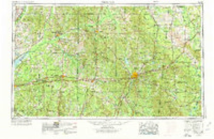
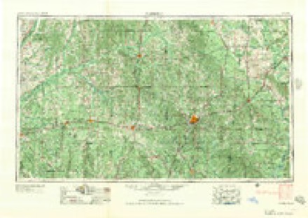
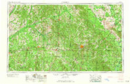
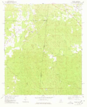
8 topographic sheets cover this place, the earliest surveyed in 1953 and the latest in 1984. It stands in the Butler census division. It lies in ZIP code area 36912. It stands on Fuller Creek. The Survey maps it on the Yantley quadrangle.
Topographic sheets covering this place
5 surveys from 8 printed sheetsMatched by testing this settlement's coordinate against the published boundary of every sheet in the United States Geological Survey's historical collection. Each opens the scanned sheet at the Survey.
- 1953 USGS Meridian quadrangle1:250000, 2 printings
- 1957 USGS Meridian quadrangle1:250000
- 1965 USGS Meridian quadrangle1:250000
- 1974 USGS Yantley quadrangle1:24000
- 1984 USGS Meridian quadrangle1:100000, 3 printings
Fires near this place
42 since 1993Regional context, not property-specific evidence. The federal wildfire occurrence database lists 42 fires within 5 miles of Cyril between 1993 and 2017, burning about 1,017 acres in total. None started naturally. 12 were recorded as arson. Distance is straight-line from the map coordinates, so a fire counted here may appear on a neighbouring settlement's page as well.
| Reported cause | Fires |
|---|---|
| Debris and open burning | 14 |
| Missing data/not specified/undetermined | 13 |
| Arson/incendiarism | 12 |
| Recreation and ceremony | 2 |
| Smoking | 1 |
The most recent of them, most recent first, with the day each was reported and the service that recorded it.
| Date | Cause | Size | Reported by | Name on the report |
|---|---|---|---|---|
| 17 September 1998 | Debris and open burning | 6.0 acres | Alabama Forestry Commission | not named |
| 6 August 2010 | Missing data/not specified/undetermined | 10 acres | Mississippi Forestry Commission | MS0 1010-3120806001 |
| 3 July 2012 | Missing data/not specified/undetermined | 86 acres | Alabama Forestry Commission | SWR-20120703-002 |
| 19 July 2006 | Arson/incendiarism | under an acre | Alabama Forestry Commission | not named |
| 19 July 2006 | Arson/incendiarism | 73 acres | Alabama Forestry Commission | not named |
| 19 July 2006 | Arson/incendiarism | 20 acres | Alabama Forestry Commission | not named |
| 18 July 2006 | Missing data/not specified/undetermined | 3.0 acres | Mississippi Forestry Commission | not named |
| 18 July 2006 | Missing data/not specified/undetermined | 5.0 acres | Mississippi Forestry Commission | not named |
Settlements close enough to share some of these fires:
Storms near this place
4 since 2001Regional context, not property-specific evidence. The National Weather Service names Cyril in 4 storm reports between 2001 and 2022: 2 tornado, 1 thunderstorm wind, 1 hail. No death or injury is recorded in these reports. Each account below is quoted exactly as the forecast office filed it, from the NOAA Storm Events Database, and each date opens the federal record of that event.
| When | Event | Place named | Harm | What the report says |
|---|---|---|---|---|
| April 2011 | Tornado (EF3) | Cyril | $8,600,000 | The tornado was already on the ground as it moved out of extreme northeastern Clarke County Mississippi into northern Choctaw County Alabama approximately 4 miles to the southwest of the community of Yantley. The tornado then remained on the ground as it moved east across the entire width of extreme northern Choctaw county, before exiting the county by crossing the Tombigbee river north of the|community of Oakchia. The tornado nearly paralleled County Road 32 as it moved east across the county, producing EF-3 damage. Considerable tree damage was noted along the entire path, with many trees snapped off above ground level in a 500 yard wide path. Extensive damage to homes and other structures was also noted. A few homes had their roof taken off and exterior walls collapsed. Several manufactured homes along the path of the tornado were also completely destroyed. Property damage to homes is estimated to be near 2 million dollars, with widespread damage to timber resulting in losses near 6.6 million dollars. |
| October 2001 | Thunderstorm Wind | Cyril | $15,000 | Strong thunderstorm winds downed trees between Cyril and Pushmataha. |
| March 2022 | Tornado (EF2) | Cyril | - | An EF-2 tornado began southwest of the community of Cyril, Alabama|in a forested area. The tornadoes strongest point was in this area|where a swath of extensive tree damage was noted based on Sentinel|satellite imagery. Based on this data in corroboration with other|upgrades done this season, we have raised the peak intensity of|the tornado to EF-2 with wind speeds of 120mph. The tornado began|to weaken some as it approached the community of Cyril, Alabama,|where a manufactured home was lifted and rolled into Cyril Rd just|west of Alabama SR-10. Debris from the home was scattered in the|treeline across the street. The manufactured home located next|door to the damaged home was intact with a couple of nearby large|trees snapped half way up the trunk. A nearby power pole was|uprooted as well. Numerous trees in the Cyril Rd area were|uprooted and snapped. There was minor roof damage to another|nearby home. The Cyril Rd area was the only area along the initial|tornado path that was able to be surveyed due to lack of road|access further southwest and the rest of the damage survey was|determined based on Sentinel satellite imagery. Sentinel satellite|data confirmed that the path of this tornado extended another 2+|miles to the southwest of the damage along Cyril Rd. A continuous|track with a swath of tree damage was noted in the satellite data.|Approximately 3 miles to the north-northeast of the damage along|Cyril Rd was an area of straight-line wind damage along CR 32 and|Gamma Rd. The survey team could not discern any notable |convergent pattern in the tree damage along Gamma Rd, nor did the |satellite imagery confirm a continuous track into this area. There|was also minor damage to two manufactured homes along Gamma Rd. |
| April 2020 | Hail | Cyril | - | Quarter size hail was reported near the community of Cyril. |
Nearest settlements
The eight closest, with where each one stands in the county. Distances are straight-line, computed from the Geographic Names Information System coordinates.
| Map | Place | Distance | Sheets |
|---|---|---|---|
| Pushmataha | 3.8 miles | 8 | |
| Yantley | 5.2 miles | 8 | |
| Hinton | 6.0 miles | 8 | |
| Riderwood | 6.1 miles | 8 | |
| Lisman | 7.4 miles | 8 | |
| Rock Springs | 7.5 miles | 8 | |
| Cromwell | 8.6 miles | 8 | |
| West Butler | 8.8 miles | 8 |
Provenance
This settlement is recorded in the Geographic Names Information System as feature 156245. The sheet list is computed by point-in-boundary test against the United States Geological Survey's historical topographic inventory. Both are works of the United States government and carry no copyright under 17 U.S.C. 105.
Wildfire. Short, Karen C. 2022. Spatial wildfire occurrence data for the United States, 1992-2020 [FPA_FOD_20221014]. 6th Edition. Fort Collins, CO: Forest Service Research Data Archive. https://doi.org/10.2737/RDS-2013-0009.6 Collected with United States Government funding and usable without additional permissions or fees.
Storms. NOAA National Centers for Environmental Information, Storm Events Database https://www.ncei.noaa.gov/stormevents/ A work of the United States government, no copyright under 17 U.S.C. 105. Narratives are quoted verbatim from the National Weather Service report and are not edited or summarised.