 Block
From the record
2 National Register listings published here.
Sources: the National Register database, National Park Service
73 topographic sheets and 2 fire insurance atlases across 1 place.
2 National Register listings published here.
Sources: the National Register database, National Park Service
Every property in this county listed on the National Register of Historic Places, with the year it was listed and the federal nomination document.
| Photograph | Property | Type | Listed | Reference |
|---|---|---|---|---|
| Hugo Black House | building | 1973 | 73000334 | |
 | Clay County Courthouse | building | 1976 | 76000316 |
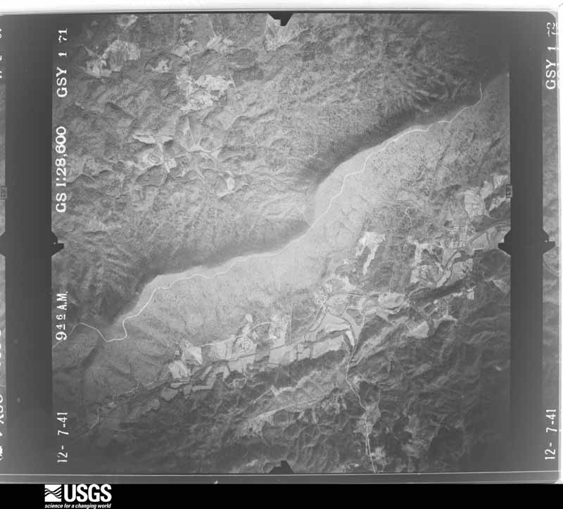
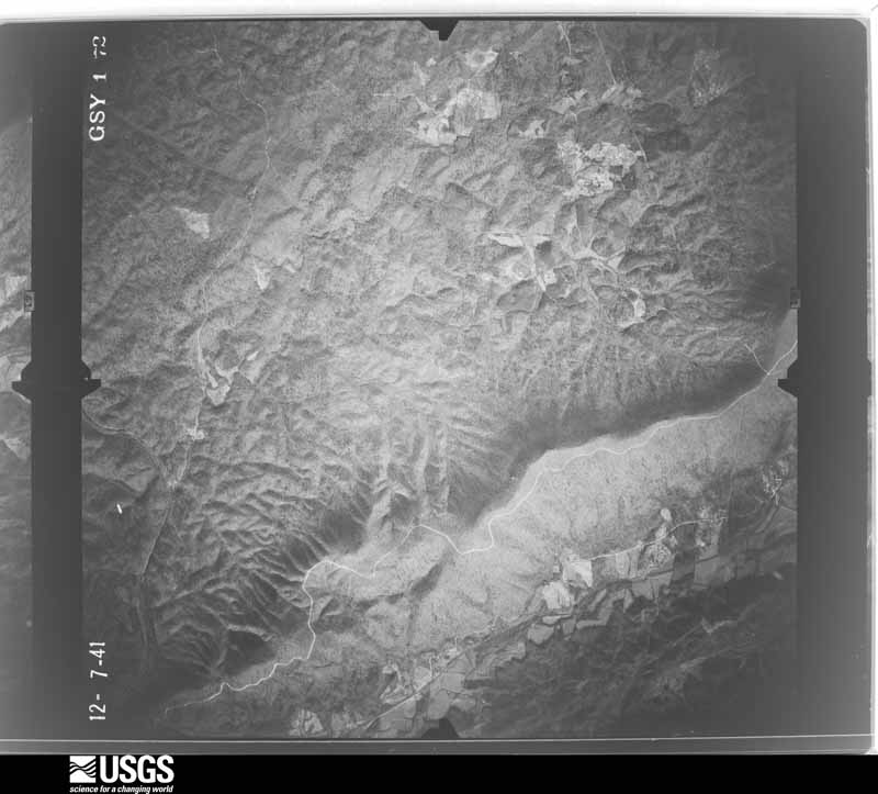
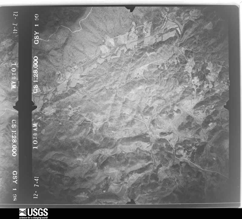
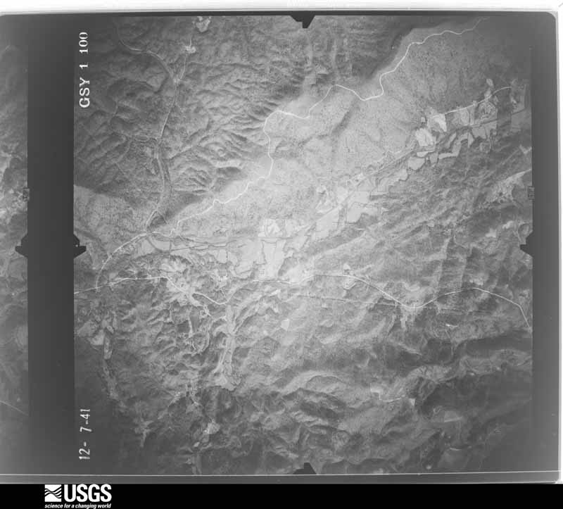
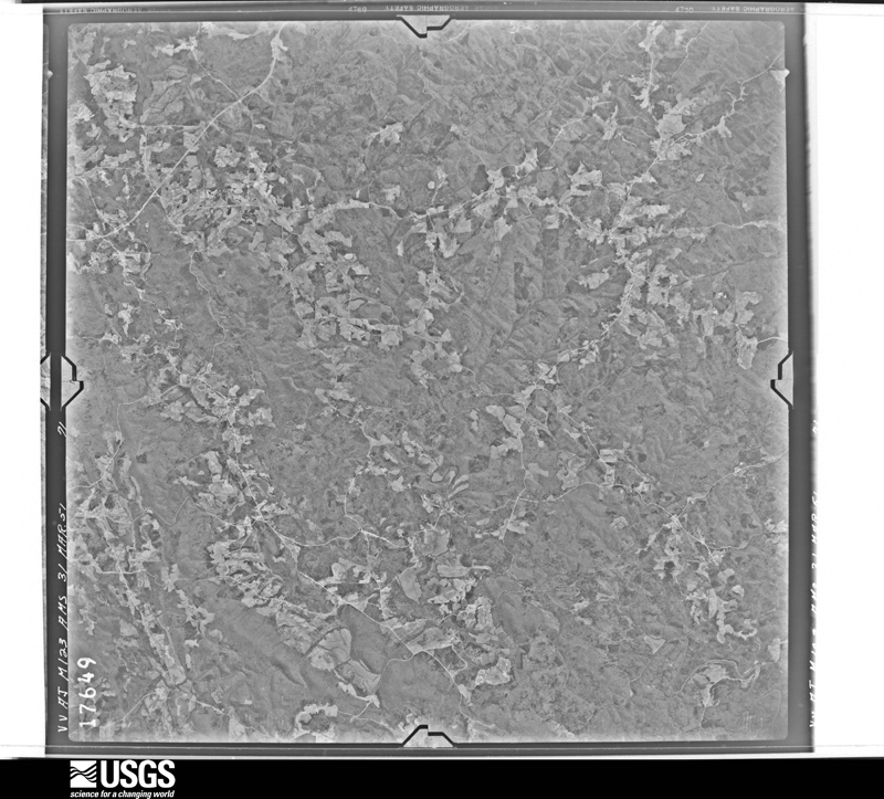
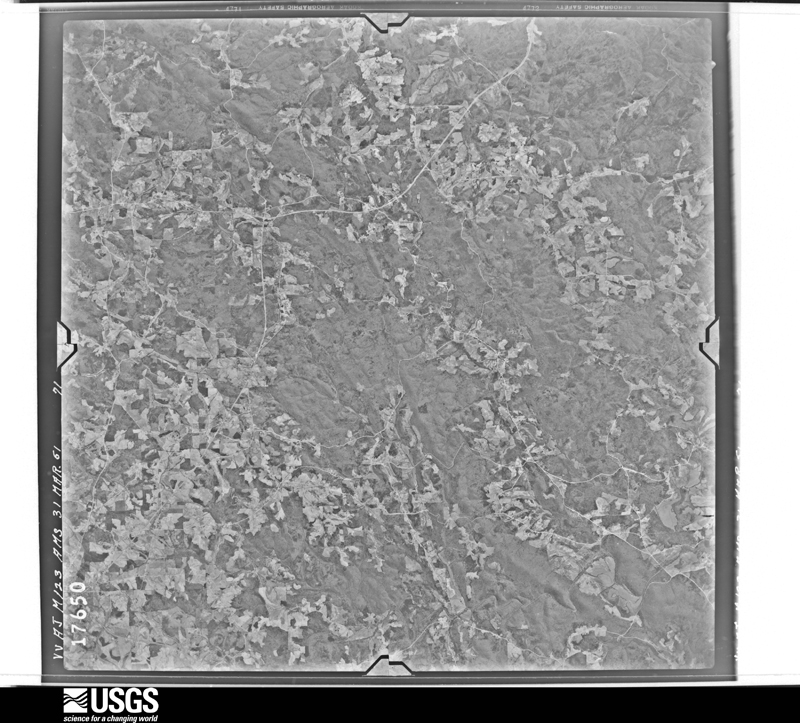
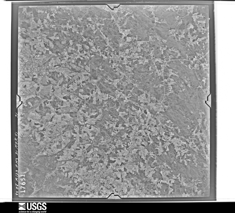
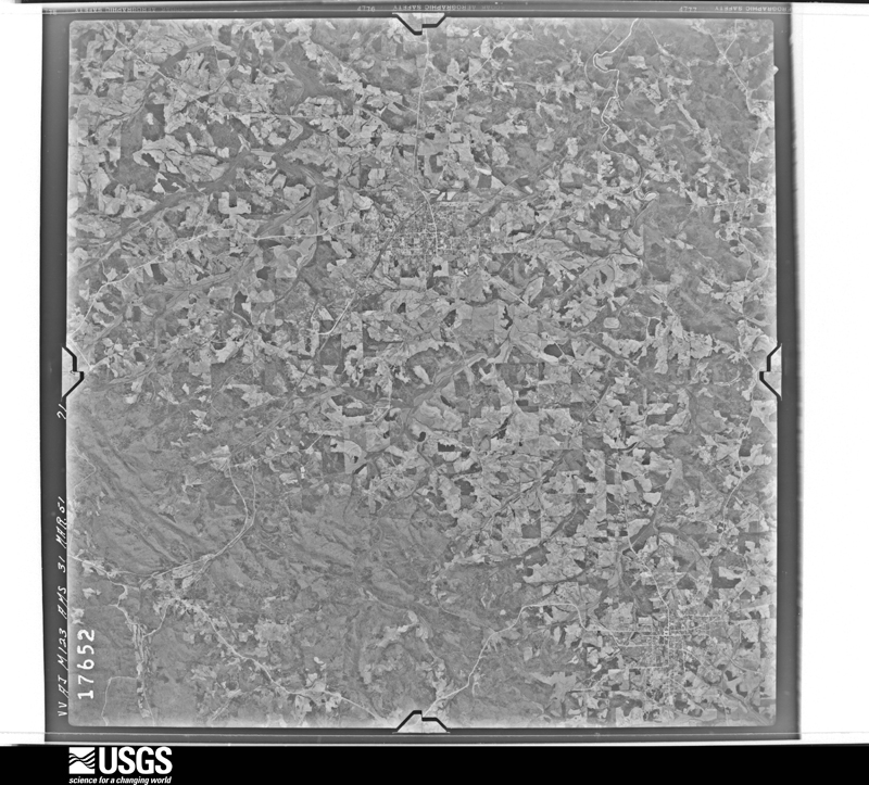
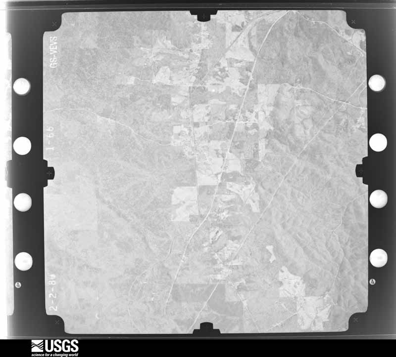
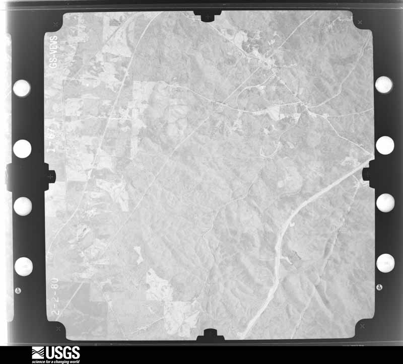
Flown by the U.S. Geological Survey between 1937 and 1989, the Aerial Photo Single Frames collection is the definitive mid-century view of the land: fields, roads and rivers as the camera saw them. The Survey holds 1,110 frames inside the rectangle that bounds this county; the 45 frames below were taken over the county itself, chosen across the decades of flights (at most four a year from that rectangle), so one flight cannot crowd out the rest. The full set is free to browse and download at EarthExplorer under the dataset Aerial Photo Single Frames.
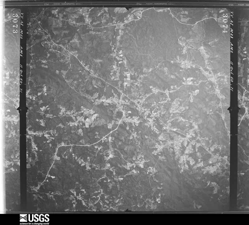
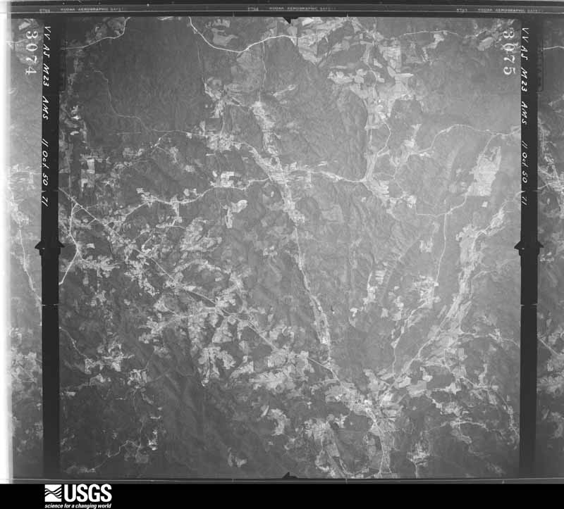
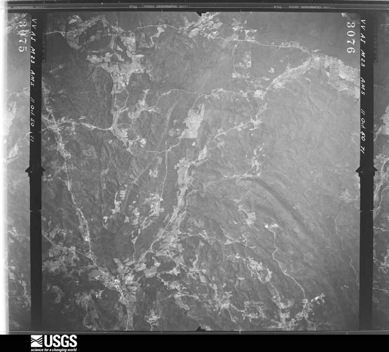
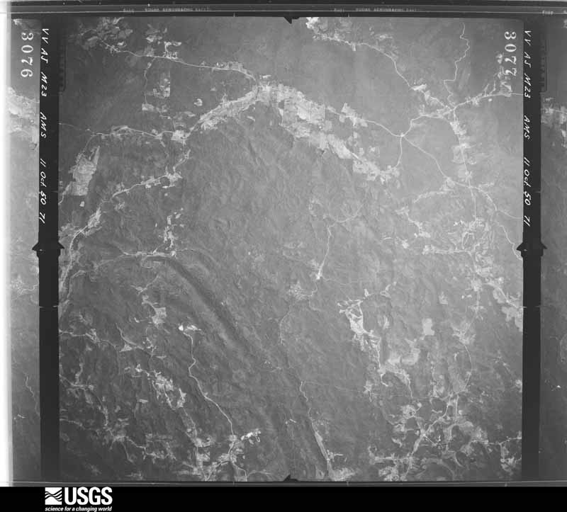
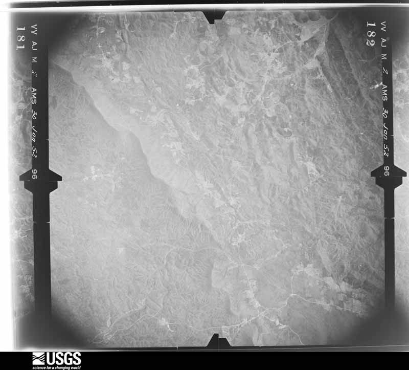
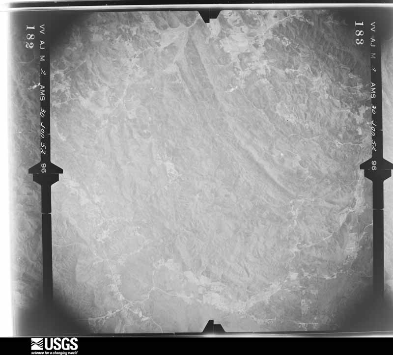
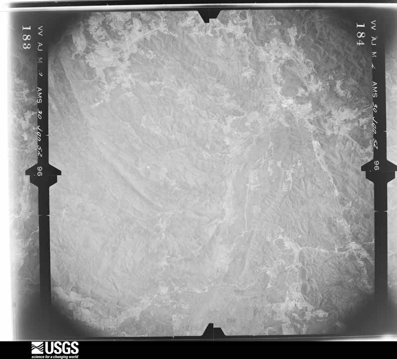
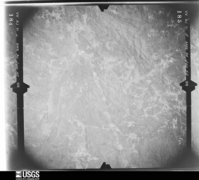
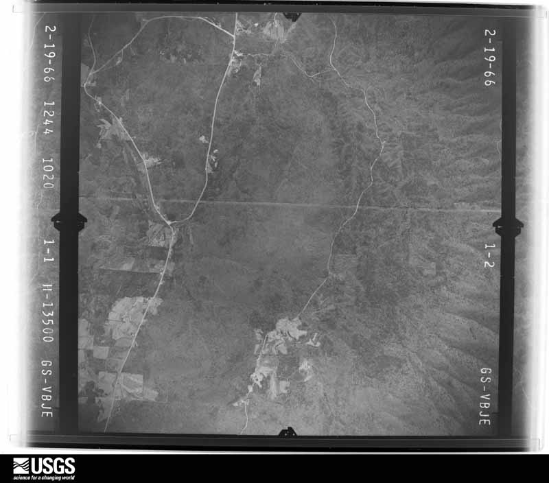
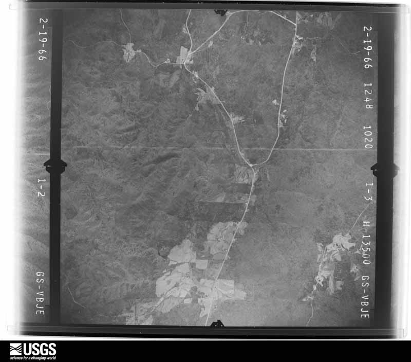
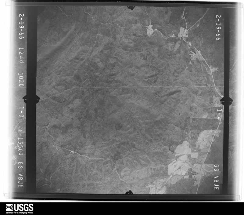
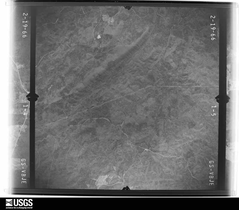
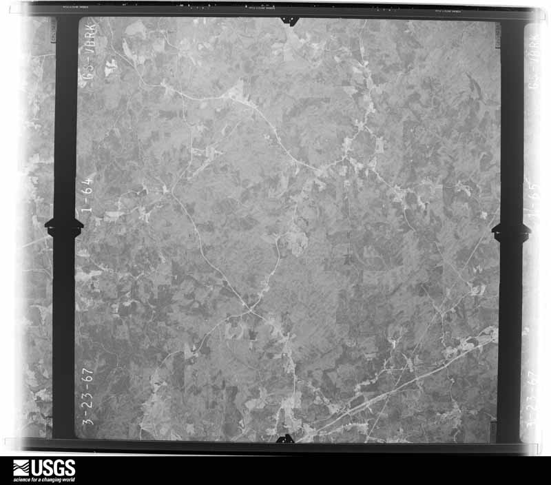
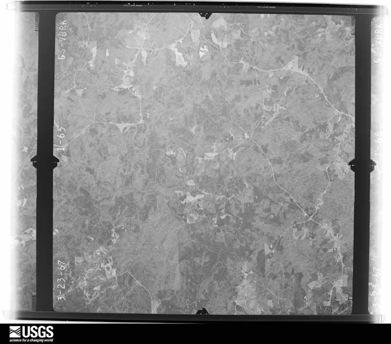
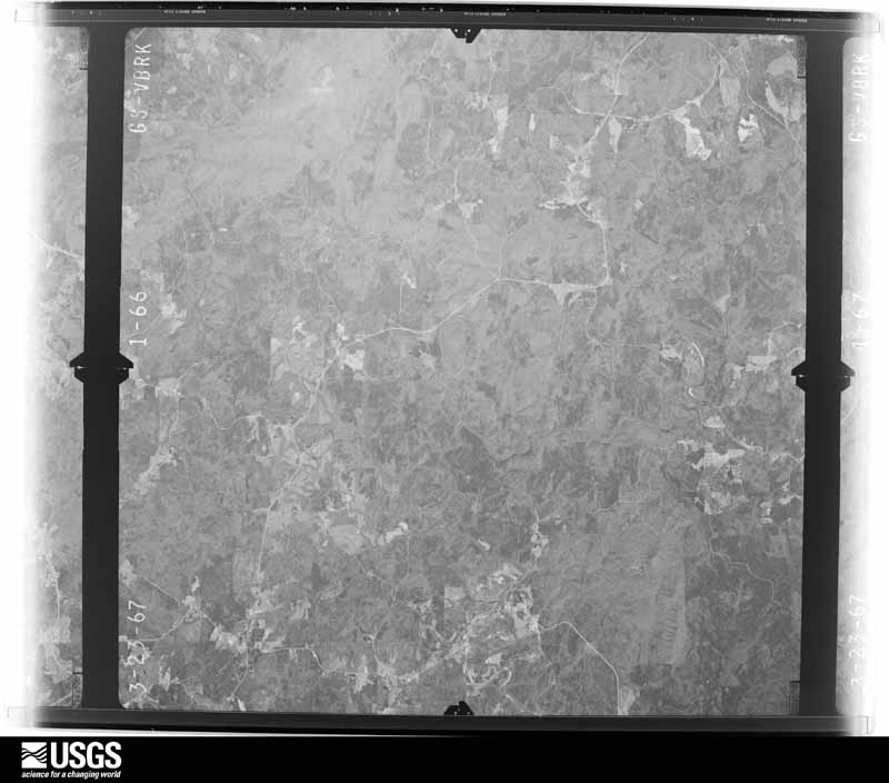
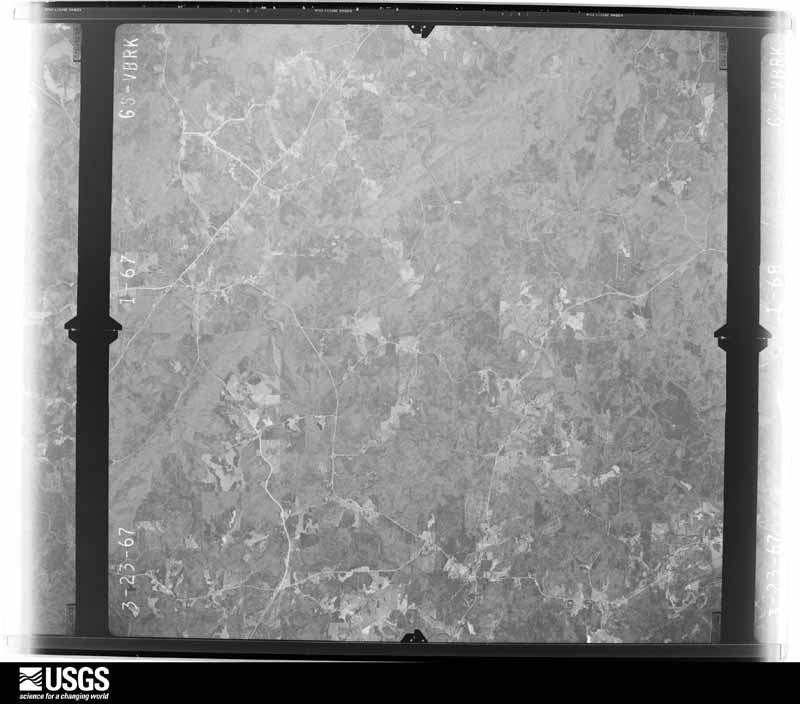
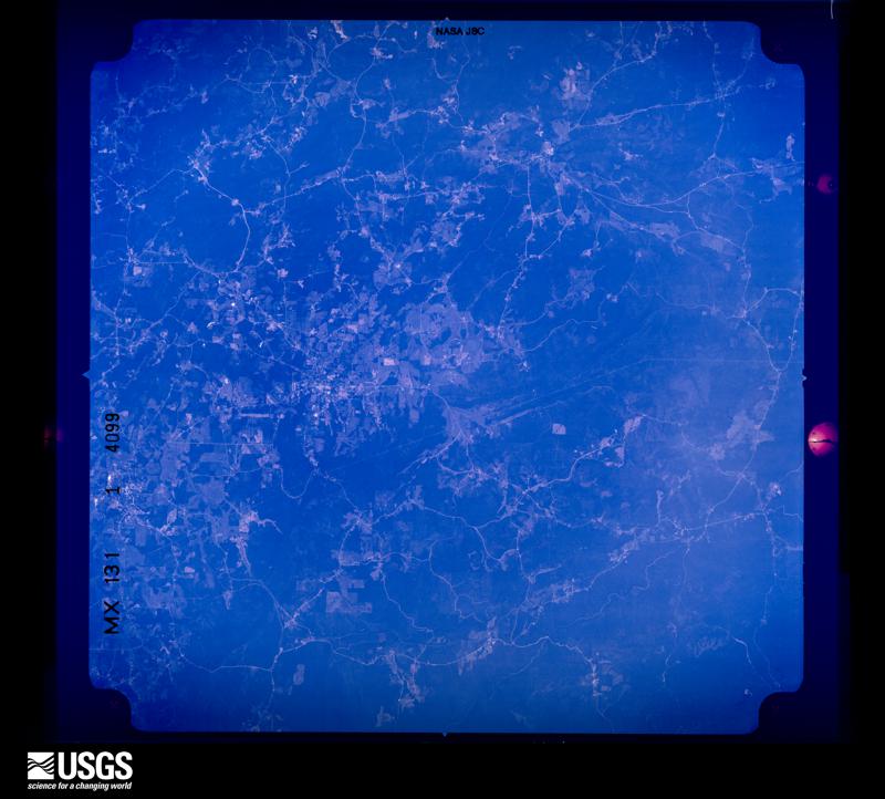
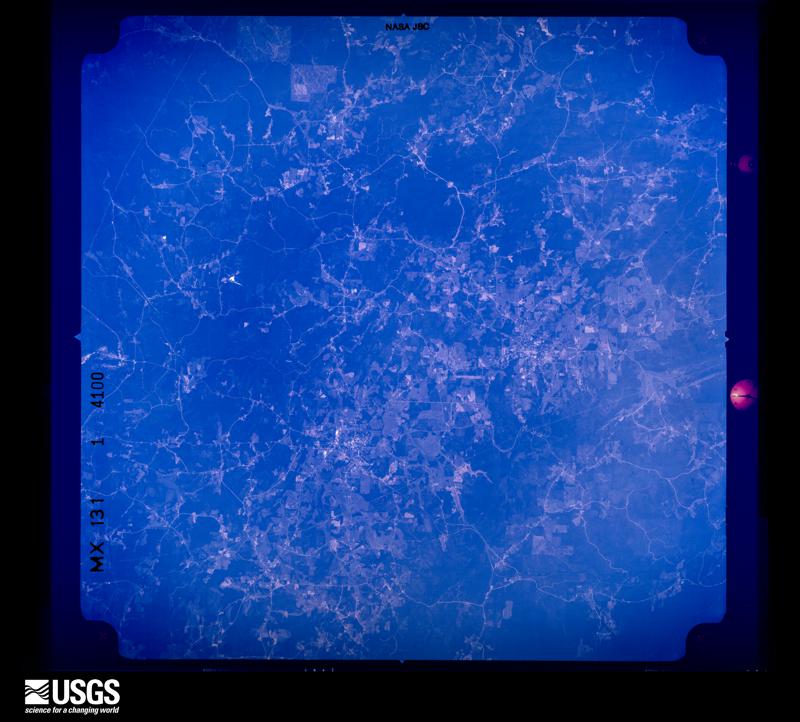
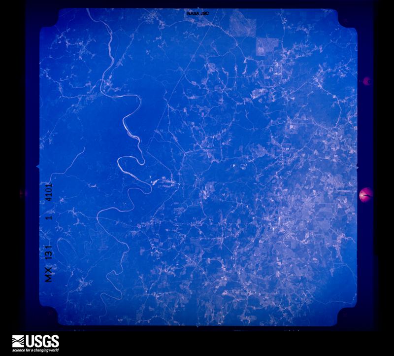
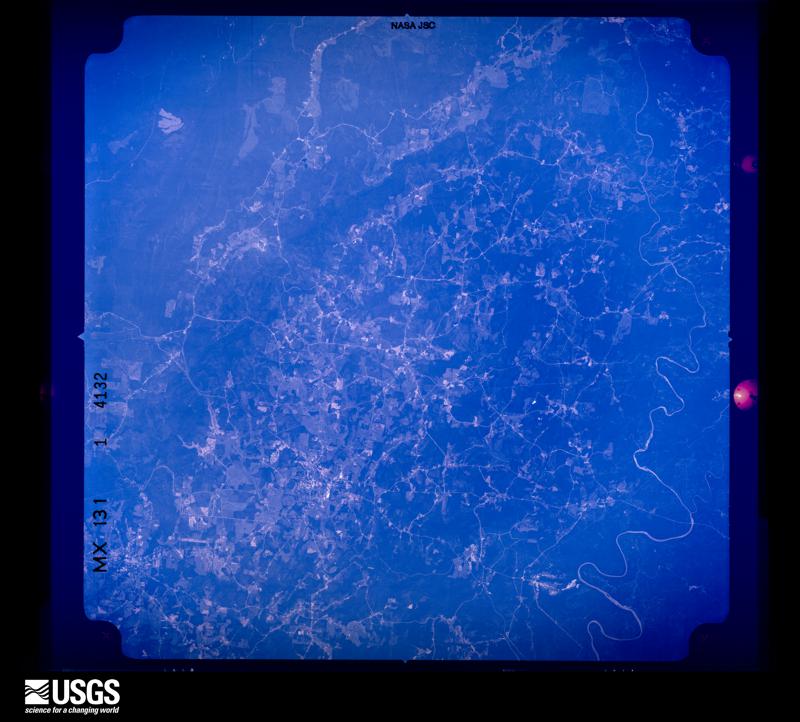



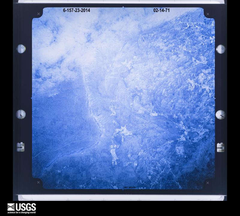
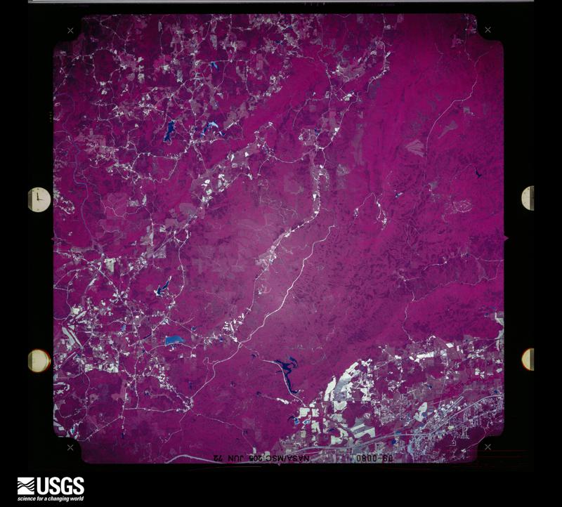
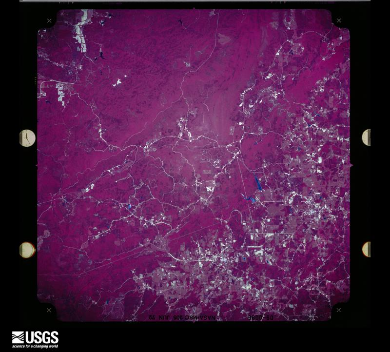
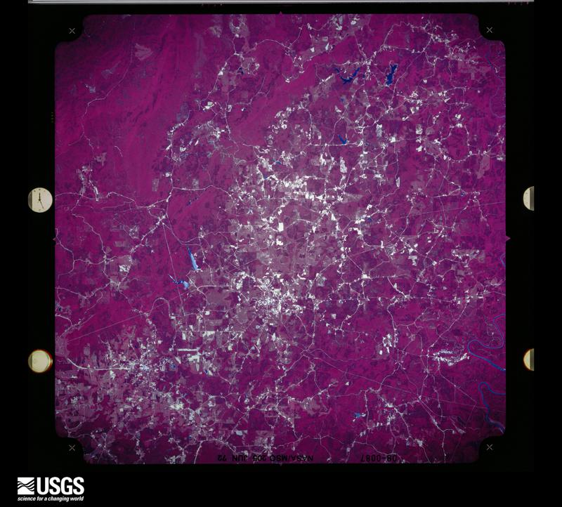
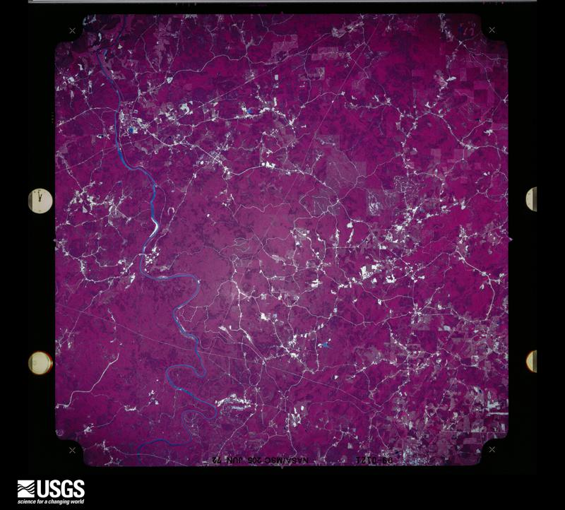
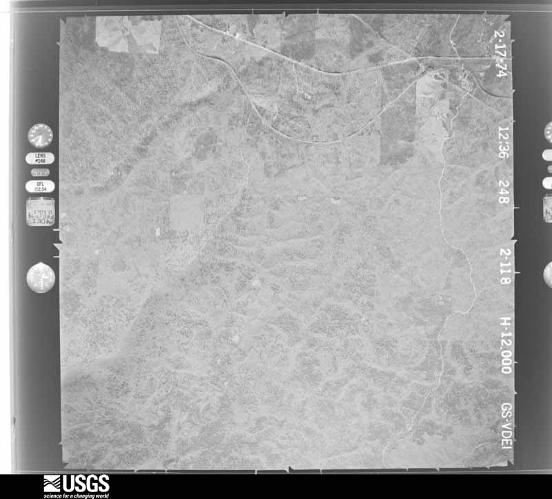
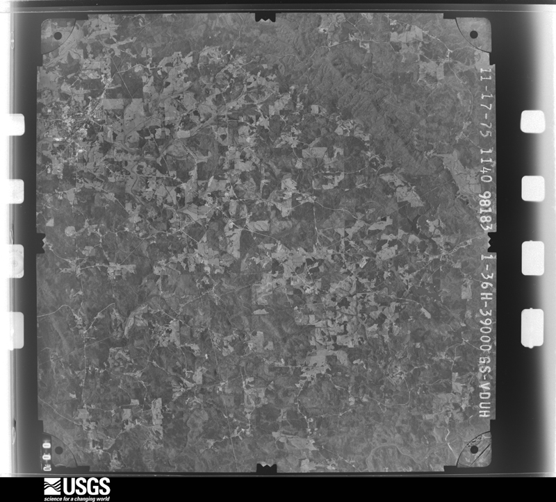
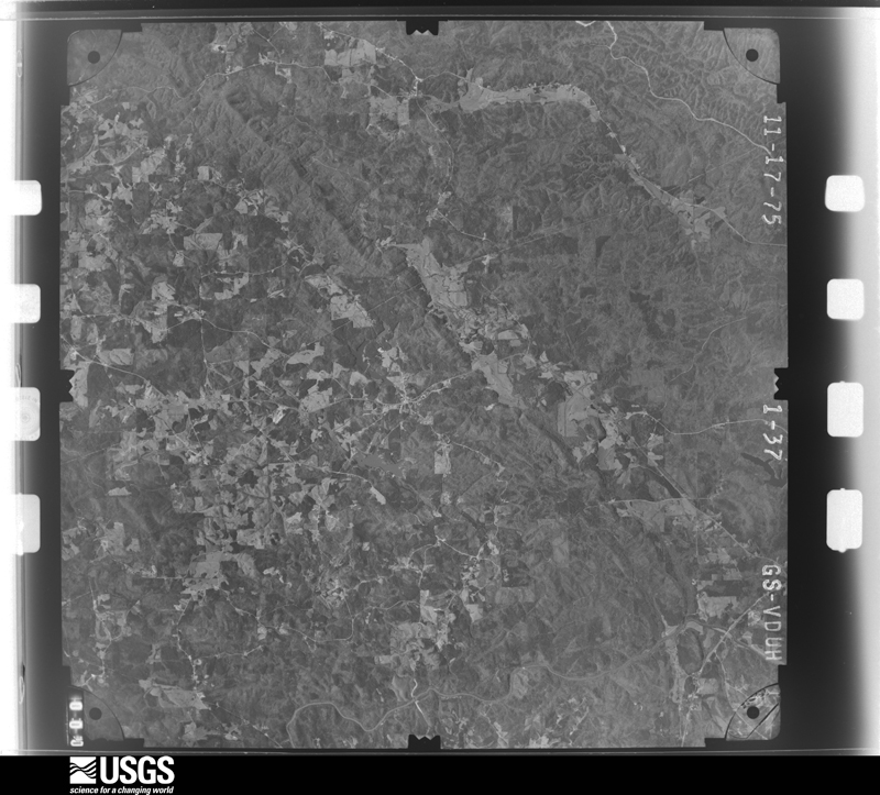
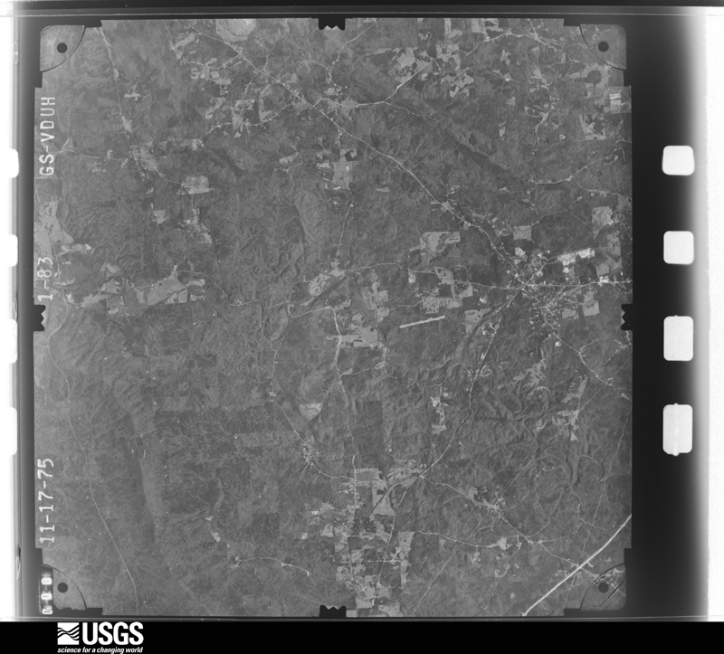
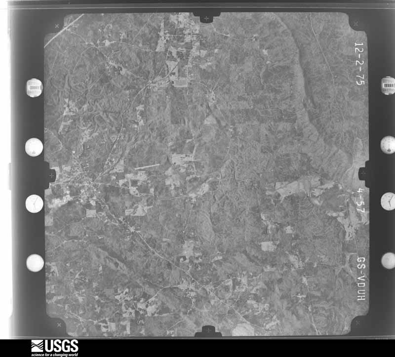
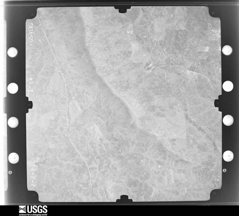
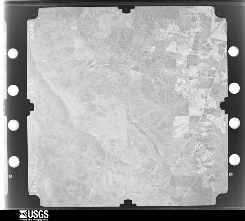
The thermometers that kept this county's weather, and the gages that measured the flow of its streams, as the federal records hold them. The extremes below are measured values from those records, not estimates.
Who lived here in 1950, one enumeration district at a time, as the Census Bureau described each district. Each row opens its official National Archives result, with Population Schedules and ED Maps available there.
Every wildfire the federal occurrence database records inside this county: 1,221 of them, burning about 28,374 acres. 42 started naturally and 486 were recorded as arson. Each settlement page carries the fires within five miles of it.
| Reported cause | Fires |
|---|---|
| Arson/incendiarism | 486 |
| Debris and open burning | 352 |
| Missing data/not specified/undetermined | 191 |
| Recreation and ceremony | 71 |
| Equipment and vehicle use | 43 |
| Natural | 42 |
| Railroad operations and maintenance | 22 |
| Misuse of fire by a minor | 6 |
| Power generation/transmission/distribution | 5 |
| Smoking | 3 |
The five largest, by the area the report gives. 6 of them were set deliberately.
| Date | Cause | Size | Reported by | Name on the report |
|---|---|---|---|---|
| 4 December 1998 | Arson/incendiarism | 3,108 acres | National Forests in Alabama | CHEAHA WILDERNESS |
| 28 November 2016 | Arson/incendiarism | 2,229 acres | National Forests in Alabama | LAKE CHINNABEE |
| 12 November 2016 | Recreation and ceremony | 1,066 acres | National Forests in Alabama | HALF WAY |
| 30 October 2016 | Arson/incendiarism | 988 acres | National Forests in Alabama | WELCOME HOME 1 |
| 20 March 2016 | Arson/incendiarism | 932 acres | National Forests in Alabama | CANEY HEAD |
| 19 August 2007 | Natural | 615 acres | National Forests in Alabama | HIGH FALLS |
| 12 October 2016 | Arson/incendiarism | 570 acres | National Forests in Alabama | POWER HORN |
| 19 November 2013 | Arson/incendiarism | 428 acres | National Forests in Alabama | HORN MTN WEST |
Every settlement page carries the fires within five miles of it - see the settlement index below.
The NOAA Storm Events Database holds 246 reports for this county, causing 8 deaths, 26 injuries and about $28,160,500 in recorded property damage. Each settlement page carries the reports that name it.
| Kind of event | Reports |
|---|---|
| Thunderstorm Wind | 136 |
| Hail | 57 |
| Tornado | 25 |
| Flash Flood | 19 |
| Lightning | 5 |
| Funnel Cloud | 2 |
| Flood | 2 |
The most serious of them, by death, then injury, then recorded damage. The accounts are quoted exactly as the forecast office filed them.
| When | Event | Place named | Harm | What the report says |
|---|---|---|---|---|
| May 1953 | Tornado (F4) | not stated | 7 killed, 12 hurt, $250,000 | no account filed |
| July 1998 | Flash Flood | Ashland | 1 killed, $15,000 | A flash flood, about 3 inches in an hour, washed out sections of Fuller Road in Mellow Valley. A 51 year-old man drove into the washed out area and was severely injured. He died the next day in the hospital from his injuries. |
| February 1990 | Tornado (F1) | not stated | 5 hurt, $250,000 | no account filed |
| November 1989 | Tornado (F1) | not stated | 3 hurt, $25,000 | no account filed |
| May 1984 | Tornado (F2) | not stated | 2 hurt, $250,000 | no account filed |
| November 2004 | Tornado (F1) | Millerville | 1 hurt, $250,000 | no account filed |
| June 2002 | Lightning | Ashland | 1 hurt, $3,000 | A seven year old girl was struck by lightning inside the Cheaha State Park grounds. She suffered minor injuries. One home was also struck by lightning near the park and minor damage occurred. |
| June 2018 | Thunderstorm Wind | Lineville | 1 hurt | Lineville city police reported a fatality when a large tree fell on a moving vehicle. The vehicle was traveling on Martha Street. |
| August 1993 | Thunderstorm Wind | not stated | 1 hurt | Several trees were uprooted in Lineville. One of the trees fell on a van, slightly injuring the occupant. |
| May 1973 | Tornado (F4) | not stated | $25,000,000 | no account filed |
| May 2003 | Flash Flood | Countywide | $700,000 | no account filed |
| January 1988 | Tornado (F1) | not stated | $250,000 | no account filed |
| May 1995 | Thunderstorm Wind | Lineville | $100,000 | Thunderstorm wind destroyed a maintenance building and a tire company building in the Lineville Industrial Park South. A house on Highway 9 east of Ashland was heavily damaged when a large tree fell on it. Several mobile homes in the area sustained light to moderate damage. |
| April 2005 | Tornado (F1) | Ashland | $80,000 | no account filed |
| May 2003 | Lightning | Ashland | $70,000 | no account filed |
| February 2008 | Thunderstorm Wind | Lineville | $50,000 | Numerous trees were blown down across the northern portion of the county. |
| July 1999 | Lightning | Ashland | $50,000 | Lightning apparently struck a home causing a fire. The fire virtually destroyed everything inside the home. No injuries were reported. |
| March 1994 | Hail | Ashland | $50,000 | Hail about the size of nickels was reported about five miles west of Ashland. |
| November 2001 | Tornado (F1) | Lineville | $50,000 | no account filed |
| August 2005 | Flash Flood | Millerville | $47,000 | Two bridges were covered with water and were temporarily impassable. One culvert was washed out. Both of these incidents occurred within five miles of the Mellow Valley community. |
| July 2000 | Thunderstorm Wind | Countywide | $40,000 | Numerous trees and power lines were blown down countywide. One mobile home lost part of its roof near Millerville. In the southwest part of the county, one home had its front porch removed. One residence in Ashland caught on fire from a lightning strike and sustained major damage. A grass fire was ignited in the Highland Pine area due to a lightning strike. Several vehicles were damaged by falling trees. |
| June 1999 | Thunderstorm Wind | Lineville | $25,000 | What appeared to be a rather typical evening thunderstorm produced an apparent downburst that downed trees and power lines on the south and west side of Lineville. A storm survey of the damage confirmed a divergent pattern in the scattered tree damage. Several large structures including an armory and a high school gymnasium sustained minor roof damage. The most significant damage occurred when a large limb - about a foot and a half in diameter - crashed through the roof of a well-built brick home. The area of damage was about 4 tenths of a mile wide and just short of a mile in length. |
| January 1998 | Flash Flood | Countywide | $25,000 | no account filed |
| June 1985 | Tornado (F1) | not stated | $25,000 | no account filed |
| November 1984 | Tornado (F1) | not stated | $25,000 | no account filed |
| March 1981 | Tornado (F1) | not stated | $25,000 | no account filed |
| March 1981 | Tornado (F1) | not stated | $25,000 | no account filed |
| June 1980 | Tornado (F2) | not stated | $25,000 | no account filed |
| April 1978 | Tornado (F1) | not stated | $25,000 | no account filed |
| November 1957 | Tornado (F2) | not stated | $25,000 | no account filed |
| March 2008 | Thunderstorm Wind | Ashland Lineville Ar | $20,000 | An aircraft hangar collapsed, and the debris was blown 100-150 yards downwind. |
| June 2007 | Thunderstorm Wind | Dampsey | $20,000 | One barn had its roof torn off and one mobile home was damaged, near State Route 49 in far northern Clay County. |
| April 2011 | Thunderstorm Wind | Ashland | $15,000 | Numerous trees and power lines were blown down in and around Ashland, including a tree that fell onto a house in the Shireys Mill community. |
| November 2010 | Tornado (EF0) | Hatchett | $15,000 | The tornado touched down about 4.5 miles east of Hollins, near the Brownsville Community, just south of Chapman Road on Brownsville Loop Road. Much of the damage path was very minor and consisted of tree limb damage. The most significant damage occurred along CR-7 just north of Partridge Creek Road. Several trees were either uprooted or snapped off in this area. One vehicle suffered moderate damage due to a fallen tree. The tornado lifted just after it crossed CR-7. |
| June 2010 | Thunderstorm Wind | Delta | $15,000 | Trees and power lines were blown down at several locations near the Delta community, including Good Hope Delta Road, Lees Bridge Road, Center Hill Road, and the Lake Gerald area. Several barns in the same area were also damaged. |
| May 1999 | Lightning | Barfield | $15,000 | Lightning struck a barn in Barfield and the ensuing fire damaged the structure significantly. |
| April 2001 | Flash Flood | Countywide | $14,000 | Several roads throughout the county were flooded and temporarily impassable. |
| March 1996 | Hail | Lineville | $12,000 | no account filed |
| July 2005 | Thunderstorm Wind | Countywide | $11,000 | Several trees were blown down countywide. Some of the communities that reported wind damage include Cragford, Lineville, and Delta. |
| November 2004 | Flash Flood | Countywide | $11,000 | Numerous roads were reported covered with water and some were temporarily impassable. Widespread rain amounts ranged from 1 to 3 inches with a few spots approaching 5 inches. Much of the rain occurred in a short period of time. Due to the terrain, runoff from these storms lasted for several hours after the heaviest rains ended. |
| February 2008 | Tornado (EF0) | Gibsonville | $10,000 | The tornado touched down near Fuller Road where minimal tree damage occurred and one home sustained roof damage. It then tracked northeast before lifting near catfish road. A small catfish restaurant had a part of the roof torn off. Several trees were snapped off along the short path. One vehicle was partially lifted into the air and the roof debris was deposited underneath it. There were approximately 100 people in the catfish restaurant when the tornado hit. These people were in the basement after the owner took action when hearing the warning. No injuries were reported. |
| February 2001 | Thunderstorm Wind | Countywide | $10,000 | Clay County reported shingle damage on one home and a roof torn off a barn in Lineville. |
| July 1998 | Thunderstorm Wind | Ashland | $10,000 | A few trees were down, including one on a house, which did minor roof damage. |
| September 2004 | Flash Flood | Countywide | $10,000 | no account filed |
| May 2003 | Thunderstorm Wind | Ashland | $10,000 | no account filed |
| July 2003 | Flash Flood | Countywide | $10,000 | no account filed |
| September 2002 | Flash Flood | Countywide | $10,000 | no account filed |
| May 1996 | Thunderstorm Wind | Hollins | $10,000 | no account filed |
| April 1996 | Thunderstorm Wind | Ashland | $10,000 | no account filed |
| August 1996 | Hail | Lineville | $10,000 | no account filed |
| March 1996 | Hail | Ashland | $10,000 | no account filed |
| May 2003 | Flash Flood | Countywide | $8,000 | Several roads across the county were temporarily impassable and flooded. |
| June 1997 | Lightning | Ashland | $8,000 | The steeple on the First United Methodist Church was struck by lightning resulting in damage to a sound system and a computer. The steeple and cross were also damaged. Time estimated. |
| July 2004 | Thunderstorm Wind | Millerville | $6,000 | Trees were blown down in the Bluff Springs community near Millerville. |
| May 2011 | Thunderstorm Wind | Lineville | $5,000 | A building at Lineville High School received unspecified damage. Several trees were blown down around the city. |
| May 2009 | Thunderstorm Wind | Ashland | $5,000 | Several trees were blown down across Clay County. At least one structure suffered unspecified wind damage. |
| June 2009 | Thunderstorm Wind | Ashland | $5,000 | Several trees were blown down on Mines Road, west of Ashland. Trees were also blown down on State Lake Road, and Church Road. |
| July 2006 | Thunderstorm Wind | Lineville | $5,000 | A roof was blown off a workshop along Highway 9. |
| June 2004 | Thunderstorm Wind | Ashland | $5,000 | A few trees were knocked down in the extreme northwest part of Clay County near the Cheaha Wilderness Area. |
| July 2004 | Thunderstorm Wind | Millerville | $5,000 | Several trees and power lines were blown down near Millerville alongSR 148. |
The Survey's mineral resources record lists 248 workings inside this county. 2 still produce and 246 are closed or unrecorded. Each settlement page carries the workings within five miles of it.
| Commodity | Workings |
|---|---|
| Mica | 68 |
| Gold | 56 |
| Graphite | 53 |
| Copper | 17 |
| Manganese | 17 |
| Zinc | 9 |
| Arsenic | 8 |
| Iron | 8 |
| Sulfur, Sulfuric Acid | 8 |
| Vanadium | 5 |
| Arsenic, Lead | 5 |
| Arsenic, Copper, Lead | 4 |
| Mica, Vanadium | 3 |
| Clay | 3 |
The least common of them first, because a county's hundredth gravel pit says nothing its first ten did not.
| Where | Site | Commodity | Status | Recorded |
|---|---|---|---|---|
| Ashland Cyanite Prospect | Kyanite | Occurrence | ||
| Ashland District | Graphite, Vanadium, Mica | Past Producer | BEDDED | |
| Benjamin Prospect | Copper, Gold, Lead, Arsenic | Prospect | ||
| Central Clay County Gibbsite Prospect | Aluminum, Manganese | Occurrence | 1977 | |
| Dulin Mine | Manganese, Cobalt | Past Producer | ||
| Dulin Mine | Cobalt, Manganese | Past Producer | 1917 | |
| East Clay County Gibbsite Prospect | Aluminum | Occurrence | 1977 | |
| Grizzel Prospect | Gold, Garnet | Occurrence | Gold | |
| Grizzell Prospect | Arsenic, Gold, Lead | Prospect | ||
| Harall Gold Mine | Gold, Silver, Iron | Past Producer | 1846 | |
| Harall Mine | Gold, Silver | Past Producer | ||
| Hatchet Creek Copper | Copper, Molybdenum, Bismuth | Producer | Chalcopyrite, Molybdenite | |
| Hatchet Creek Prospect - West Millerville | Iron, Copper, Sulfur | Occurrence | 1963 | |
| Hatchet Creek Prospect Main Deposit | Sulfur, Iron, Copper | Occurrence | 1962 | |
| J D Crarter Prospect | Arsenic, Lead | Prospect | ||
| J D Walker Prospect | Zinc, Lead, Copper, Arsenic | Prospect | ||
| Pyriton Area | Copper, Zinc, Sulfur-Pyrite, Gold | Past Producer | 1850 | |
| Pyriton Mines | Iron, Sulfur, Copper | Past Producer | 1862 | |
| Stringfellow Prospect | Sulfur-Pyrite, Copper | Occurrence | 1854 | |
| Suggs Beryl Prospect | Beryllium, Mica | Occurrence | ||
| USGS MR-60 Alabama No.7 Prospect | Fluorine-Fluorite | Occurrence | ||
| Unnamed Occurrence | Uranium, Graphite | Occurrence | 1974 | |
| Unnamed Prospect | Zinc, Copper, Lead | Prospect | ||
| Unnamed Prospect | Zinc, Lead, Arsenic | Prospect | ||
| Van Smith Soapstone Prospect | Talc-Soapstone | Occurrence | Talc | |
| A S Bell Pyrite Deposit | Sulfur | Occurrence | ||
| Benjamin Prospect | Gold, Lead, Zinc, Arsenic | Past Producer | Vein | |
| Clay County Hwy Dept. Ashland Pit | Sand and Gravel, Construction | Producer | ||
| Coosa River News Prospect | Arsenic, Lead, Zinc | Prospect | ||
| Dempsey Pyrite Prospect | Sulfur, Iron, Copper | Occurrence | ||
| Hatchet Creek Prospect Millerville | Sulfur, Iron, Copper | Occurrence | 1963 | |
| Pyriton Mines | Sulfur, Copper | Past Producer | ||
| Sand and Gravel Pit | Sand and Gravel, Construction | Past Producer | ||
| Carbon Mountain | Graphite, Mica, Vanadium | Past Producer | 1917 | |
| Cly 4 Clay Prospect | Clay | Prospect | ||
| Enitachopco Mine | Graphite, Mica, Vanadium | Past Producer | Surface | |
| Garrett Prospect | Copper, Sulfur | Prospect | ||
| Mcghee Prospect | Copper, Sulfur | Occurrence | 1850 | |
| Reams Clay Prospect | Clay | Prospect | ||
| Simmons Clay Prospect | Clay | Prospect | ||
| South Queneldo Area | Graphite, Mica, Vanadium | Past Producer | BEDDED | |
| Stringfellow Prospect | Copper, Sulfur | Occurrence | 1855 | |
| Amason Prospect | Zinc, Arsenic, Copper, Lead | Prospect | ||
| Dawkins Prospect | Zinc, Arsenic, Copper, Lead | Prospect | ||
| Unnamed Prospect | Zinc, Arsenic, Copper, Lead | Prospect | ||
| Unnamed Prospect | Zinc, Arsenic, Copper, Lead | Prospect | ||
| Alabama No. 1 Mine | Graphite, Vanadium, Mica | Past Producer | 1912 | |
| Farrar-Wallace Mine | Zinc, Arsenic, Lead | Past Producer | ||
| H Amason Prospect | Arsenic, Lead | Prospect | Underground | |
| Jennings-Republic Area | Graphite, Vanadium, Mica | Past Producer | 1914 | |
| Monitor, King and Barrett Mines | Graphite, Vanadium, Mica | Past Producer | 1918 | |
| National Mine | Graphite, Vanadium, Mica | Past Producer | 1916 | |
| Old Copper Mine Prospect | Copper, Arsenic, Lead | Prospect | ||
| Superior Flake | Graphite, Vanadium, Mica | Past Producer | 1920 | |
| Unnamed Prospect | Zinc, Arsenic, Lead | Prospect | ||
| Unnamed Prospect | Zinc, Arsenic, Lead | Prospect | ||
| Caldwell Mine | Sulfur, Sulfuric Acid, Copper | Past Producer | ||
| Dempsey | Iron | Unknown | ||
| Dempsey Mine | Iron | Past Producer | Residual | |
| Dempsey Prospects | Iron | Prospect | ||
| Franklin Mine | Gold, Iron | Past Producer | ||
| Jasper Williams Prospect | Sulfur, Sulfuric Acid | Occurrence | ||
| Knight's Mill Prospect | Gold, Arsenic | Prospect | ||
| L & M Mining Association Mine | Sulfur, Sulfuric Acid, Copper | Past Producer | ||
| National Pyrite & Copper Co. Mine | Sulfur, Sulfuric Acid, Copper | Past Producer | ||
| National Pyrite & Copper Co. Mine | Sulfur, Sulfuric Acid | Past Producer | ||
| Pyrite Prospect | Sulfur, Sulfuric Acid | Prospect | ||
| Sewell Property | Sulfur, Sulfuric Acid, Copper | Past Producer | ||
| Southern Sulfur Ore Co. Mine | Sulfur, Sulfuric Acid, Copper | Past Producer | ||
| Unnamed | Iron | Unknown | ||
| Unnamed | Iron | Unknown | ||
| Unnamed Prospect | Iron | Occurrence | ||
| W D Mitchell Prospect No. 2 | Gold, Arsenic | Prospect | ||
| W M Sharps Mine | Iron | Past Producer | ||
| W.D. Mitchell Properties No. 1 | Gold, Arsenic | Occurrence | Gold | |
| W.D. Mitchell Properties No. 1 | Gold, Arsenic | Occurrence | ||
| Alamag Copper Prospects No 1 | Copper | Occurrence | ||
| Alamag Copper Prospects No 2 | Copper | Occurrence | ||
| Alamag Copper Prospects No 3 | Copper | Occurrence | ||
| Alamag Copper Prospects No 4 | Copper | Occurrence | ||
| Bowden Grove Manganese Prospect | Manganese | Occurrence | Pyrolusite | |
| Dean Watts Manganese Mine | Manganese | Past Producer | 1949 | |
| Dempsy Greenstone Manganese Outcrop | Manganese | Occurrence | ||
| Dulin Mine Shadix Property | Manganese | Past Producer | Residual | |
| G.C. Miller Prospect | Manganese | Occurrence | 1944 | |
| J Van Smith Prospect | Manganese | Occurrence | ||
| Thos. Peoples Prospect | Manganese | Occurrence | 1944 | |
| Unnamed Prospect | Manganese | Occurrence | ||
| Unnamed Prospect | Manganese | Occurrence | ||
| Unnamed Prospect | Manganese | Occurrence | ||
| Unnamed Prospect | Manganese | Occurrence | ||
| Unnamed Prospect | Copper | Occurrence | ||
| Unnamed, Near Hatchet Creek | Copper | Past Producer | ||
| Van Smith Manganese Prospect | Manganese | Occurrence | Pyrolusite | |
| Watt Manganese District | Manganese | Prospect | LATERITE | |
| Watt Manganese Opening | Manganese | Prospect | Pyrolusite | |
| Watt Mn District | Manganese | Past Producer | Residual | |
| Watts Prospect | Manganese | Occurrence | 1944 | |
| A B C Railroad Cuts | Graphite | Prospect | ||
| Acme Mine | Graphite | Past Producer | ||
| Alabama #1 Mine | Graphite | Past Producer | 1865, 1912 | |
| Alabama #2 Mine | Graphite | Past Producer | 1865, 1917 | |
| Alabama #3 Mine | Graphite | Past Producer | 1865 | |
| Alabama Flake Graphite Company Mine | Graphite | Past Producer | ||
| American Mine | Graphite | Past Producer | ||
| Ashland Mines | Graphite | Past Producer | ||
| Atlas Mine | Graphite | Past Producer | ||
| Axton-Noe Mine | Graphite | Past Producer | ||
| C B Allen Area | Graphite | Past Producer | 1865, 1917 | |
| Carbon Mountain Mine | Graphite | Past Producer | ||
| Clay County Graphite Mine | Graphite | Unknown | ||
| Crystalline Flake Mine | Graphite | Past Producer | ||
| Eagle Area | Graphite | Past Producer | 1865, 1917 | |
| Enitachopco Mine | Graphite | Past Producer | ||
| Graphite Prospect | Graphite | Prospect | ||
| Griessemer Mine | Graphite | Past Producer | ||
| Haile Mines | Graphite | Past Producer | 1865, 1916 | |
| Hood-Graves Mine | Graphite | Past Producer | ||
| J M Smith Prospect | Graphite | Prospect | ||
| J W Williams Prospect | Graphite | Occurrence | ||
| Jefferson Mine | Graphite | Past Producer | 1865, 1917 | |
| Jennings Area | Graphite | Past Producer | 1865, 1914 | |
| King Mine | Graphite | Past Producer | ||
| Liberty Mine | Graphite, Mica | Past Producer | 1917 | |
| Liberty Mine | Graphite | Occurrence | ||
| Lineville Mine | Graphite | Past Producer | ||
| May Brothers No 2 Mine | Graphite | Unknown | ||
| May Brothers No. 1 Area | Graphite | Past Producer | 1865, 1917 | |
| Monitor Mine | Graphite | Past Producer | ||
| National Area | Graphite | Past Producer | 1865, 1916 | |
| Peerless Mine | Graphite | Past Producer | ||
| Pocahontas Mine | Graphite, Mica | Past Producer | 1921 | |
| Pocahontas Mine | Graphite | Past Producer | 1865, 1921 | |
| Quenelda Area | Graphite | Past Producer | 1865, 1917 | |
| Republic Area | Graphite | Past Producer | 1865, 1917 | |
| Southern Mine | Graphite | Past Producer | ||
| Standard Graphite Mine | Graphite | Unknown | ||
| Superior Flake Area | Graphite | Past Producer | 1865, 1920 | |
| Unnamed Prospect | Graphite | Occurrence | ||
| Unnamed Prospect | Graphite | Unknown | ||
| Walter S Smith Property | Graphite | Prospect | ||
| Al Au & Mica Co Mine | Gold | Past Producer | Vein | |
| Alabama Gold & Mica Co. Mine | Gold | Past Producer | ||
| Alabama Gold and Mica Co Gold Mine | Gold | Past Producer | Gold | |
| Ashland Mining Co Gold Prospect | Gold | Occurrence | Vein | |
| Brown Prospect | Gold | Occurrence | Stratabound | |
| Brown Prospect | Gold | Prospect | ||
| California Lode | Gold | Past Producer | Vein | |
| California Lode Prospect | Gold | Occurrence | Gold | |
| California Mine | Gold | Past Producer | ||
| Chinca-Pina Lode Prospect | Gold | Occurrence | Gold | |
| Chinca-Pine Mine | Gold | Past Producer | ||
| Cockrell Lode Prospect | Gold | Occurrence | Gold | |
| Dawkin's Lode | Gold | Past Producer | Vein | |
| Dawkins Lode Prospect | Gold | Occurrence | Gold | |
| Eley Gold Mine | Gold | Past Producer | Stratabound | |
| Eley Mine | Gold | Past Producer | Vein | |
| Eley Mine | Gold | Past Producer | ||
| Farrar-Wallace Prospect | Gold | Past Producer | 1860 | |
| Franklin Mine | Gold | Past Producer | Vein | |
| Franklin Pits - Idaho Mine | Gold | Past Producer | Stratabound | |
| Grizzle Prospect | Gold | Prospect | ||
| Haraldson Mine | Gold | Past Producer | Gold | |
| Haraldson Mine | Gold | Past Producer | ||
| Harall Au Mine Harold Or Harral | Gold | Past Producer | Vein | |
| Harold Gold Mine | Gold | Past Producer | Gold | |
| Harwell Propect | Gold | Past Producer | Vein | |
| Harwell Prospect | Gold | Occurrence | 1930 | |
| Hobbs Prospect | Gold | Past Producer | Stratabound | |
| Hobbs Prospect | Gold | Prospect | ||
| Horn's Peak Mine | Gold | Prospect | Gold | |
| Horns Peak Mine | Gold | Past Producer | ||
| Lashley Property Prospect | Gold | Occurrence | Gold | |
| Laurel Prospect | Gold | Past Producer | Gold | |
| Laurel Prospect | Gold | Past Producer | ||
| Little Samson Lode | Gold | Past Producer | Stratabound | |
| Manning Placer | Gold | Occurrence | Gold | |
| Old Gold Mine | Gold | Past Producer | Vein | |
| Old Gold Mine | Gold | Past Producer | Stratabound | |
| Unnamed Gold Prospect | Gold | Occurrence | Gold | |
| Unnamed Gold Prospect Tunnel | Gold | Occurrence | Gold | |
| Unnamed Mine | Gold | Past Producer | ||
| Unnamed Mine | Gold | Past Producer | ||
| Unnamed Mine | Gold | Past Producer | ||
| Unnamed Mine | Gold | Past Producer | ||
| W D Mitchell Prospect | Gold | Prospect | ||
| W D Mitchell Prospect | Gold | Prospect | ||
| Whatley Gold Mine | Gold | Past Producer | Stratabound | |
| Ashland Mine | Mica | Past Producer | ||
| Bains Prospect | Mica | Prospect | ||
| Barfield Mine | Mica | Past Producer | ||
| Barfield Prospect | Mica | Prospect | ||
| Bob Lee Mica Prospect | Mica | Occurrence | ||
| Bob Lee No. 2 Mine | Mica | Past Producer | ||
| Bob Mitchell Prospect | Mica | Prospect | ||
| Brown Prospect | Mica | Prospect | ||
| Bunn-Jones Prospect | Mica | Prospect | ||
| C D Hodge Prospect | Mica | Prospect | ||
| Campbell-Alabama Mineral Land Mine | Mica | Past Producer | ||
| Cicero Smith Prospect | Mica | Prospect | ||
| Delta Mica Co. Mine | Mica | Past Producer | ||
| Delta Mica Co. Prospect | Mica | Occurrence | ||
| Delta Mine | Mica | Past Producer | ||
| Dye Prospect | Mica | Prospect | ||
| Fletcher Smith Mine | Mica | Past Producer | ||
| Four Pits Prospect | Mica | Prospect | ||
| Gibbs Lubricating Co. Prospect | Mica | Prospect | ||
| Gibson Mine | Mica | Past Producer | ||
| Good Hope Church Mine | Mica | Past Producer | ||
| Gopher Mine | Mica | Past Producer | ||
| Great Southern Mica Co. Mine | Mica | Past Producer | ||
| Griffin Mine | Mica | Past Producer | ||
| Haralson Mine | Mica | Past Producer | ||
| Hodge Mine and Prospect | Mica | Past Producer | ||
| Hudson Mine | Mica | Past Producer | ||
| Hurst Mine | Mica | Past Producer | ||
| J J Smith No 1 Mine | Mica | Past Producer | ||
| J J Smith No. 2 Prospect | Mica | Prospect | ||
| J J Smith Prospect | Mica | Prospect | ||
| J W Hunter Prospect | Mica | Past Producer | ||
| J W Smith Mine | Mica | Prospect | ||
| Jones-Bunn Prospect | Mica | Prospect | ||
| Lett No 1 and 2 Prospects | Mica | Prospect | ||
| Lett No 3 Prospect | Mica | Prospect | ||
| M & G No. 2 Mine | Mica | Past Producer | ||
| M and G Mine | Mica | Past Producer | ||
| Mary Low Prospect | Mica | Prospect | ||
| May Mine | Mica | Past Producer | ||
| Mcnamara Mine | Mica | Past Producer | ||
| Pitts No. 1 Mine | Mica | Unknown | ||
| Pitts No. 2 Mine | Mica | Past Producer | ||
| Robinson Prospect | Mica | Prospect | ||
| S M Smith Prospects | Mica | Prospect | ||
| S M and F Smith Mine | Mica | Past Producer | ||
| Shirey Prospect No 2 | Mica | Prospect | ||
| Shirey Prospect No. 2 | Mica | Prospect | ||
| Shirey Prospect No. 4 | Mica | Prospect | ||
| Shirley Prospect | Mica | Prospect | ||
| Shirley Prospect No. 3 | Mica | Prospect | ||
| Shirley-Gopher Mine | Mica | Past Producer | ||
| Smith No. 1 Prospect | Mica | Prospect | ||
| Smitth No. 1 Mine | Mica | Past Producer | ||
| Unnamed Mine | Mica | Past Producer | ||
| Unnamed Prospect | Mica | Occurrence | ||
| Unnamed Prospect | Mica | Occurrence | ||
| Unnamed Prospect | Mica | Occurrence | ||
| W D Dye Prospect | Mica | Occurrence | ||
| W H Lane Mica Prospect | Mica | Occurrence |
Named settlements recorded in the Geographic Names Information System, each with the topographic sheets covering it. Villages, hamlets and abandoned places alike. Each is shown with the nearest named watercourse or landform and the survey quadrangle it falls on. The 1 place that was also surveyed for fire insurance comes first, with the number of atlases and photographs held for them.
Ashland census division · 36251 · Lineville West quadrangle
12 sheets, 1891 to 1978
Fire insurance: 2 atlases
Lineville census division · 36266 · Lineville East quadrangle
12 sheets, 1891 to 1978
No longer a settlement
Lineville census division · 36266 · On Little Creek · Lineville East quadrangle
12 sheets, 1891 to 1978
Ashland census division · 36251 · On Sweetwater Creek · Gibsonville quadrangle
11 sheets, 1891 to 1978
Ashland census division · 36266 · On Cardwell Branch · Lineville West quadrangle
12 sheets, 1891 to 1978
Millerville-Hollins census division · 35072 · On Partridge Creek · Bulls Gap quadrangle
23 sheets, 1890 to 2001
Lineville census division · 36266 · On Mill Creek · Lineville West quadrangle
12 sheets, 1891 to 1978
Lineville census division · 36266 · On Mill Creek · Clairmont Springs quadrangle
15 sheets, 1891 to 2001
Millerville-Hollins census division · 36251 · On Blue Creek · Millerville quadrangle
14 sheets, 1891 to 2001
Millerville-Hollins census division · 35160 · Porter Gap quadrangle
22 sheets, 1890 to 2001
Lineville census division · 35160 · Clairmont Springs quadrangle
15 sheets, 1891 to 2001
Millerville-Hollins census division · 35072 · On Saxon Creek · Hackneyville quadrangle
12 sheets, 1891 to 1978
Ashland census division · 36255 · Near Evan Ridge · Mellow Valley quadrangle
12 sheets, 1891 to 1978
Ashland census division · 36255 · On Dinner Creek · Mellow Valley quadrangle
12 sheets, 1891 to 1978
Ashland census division · 36255 · On White Oak Creek · Lineville East quadrangle
12 sheets, 1891 to 1978
Millerville-Hollins census division · 35072 · On Partridge Creek · Bulls Gap quadrangle
23 sheets, 1890 to 2001
Lineville census division · 36258 · On Pretty Branch · Cheaha Mountain quadrangle
14 sheets, 1891 to 2001
No longer a settlement
Lineville census division · 36266 · On Gold Mines Creek · Clairmont Springs quadrangle
15 sheets, 1891 to 2001
Millerville-Hollins census division · 35072 · Near McGehee Mountain · Bulls Gap quadrangle
23 sheets, 1890 to 2001
Ashland census division · 36251 · On Holdridge Branch · Gibsonville quadrangle
11 sheets, 1891 to 1978
Millerville-Hollins census division · 35160 · On Simmons Branch · Millerville quadrangle
14 sheets, 1891 to 2001
Lineville census division · 35160 · On Horn Branch · Clairmont Springs quadrangle
15 sheets, 1891 to 2001
Millerville-Hollins census division · 35160 · On East Fork Hatchet Creek · Bulls Gap quadrangle
23 sheets, 1890 to 2001
Lineville census division · 36258 · On Red Hill Branch · Delta quadrangle
14 sheets, 1891 to 2001
Millerville-Hollins census division · 36251 · Near Poe Bridge Mountain · Clairmont Springs quadrangle
15 sheets, 1891 to 2001
Ashland census division · 36255 · On Tanyard Branch · Mellow Valley quadrangle
12 sheets, 1891 to 1978
Lineville census division · 36251 · On Old Town Creek · Lineville West quadrangle
12 sheets, 1891 to 1978
Lineville census division · 36251 · On Old Town Creek · Lineville West quadrangle
12 sheets, 1891 to 1978
Millerville-Hollins census division · 36251 · On Ray Creek · Millerville quadrangle
14 sheets, 1891 to 2001
Lineville census division · 36258 · Near Fishhead Valley · Delta quadrangle
14 sheets, 1891 to 2001
Millerville-Hollins census division · 35072 · On Harbuck Creek · Hackneyville quadrangle
12 sheets, 1891 to 1978
Lineville census division · 36266 · On Shireys Mill Creek · Lineville West quadrangle
12 sheets, 1891 to 1978
Millerville-Hollins census division · 36251 · Clairmont Springs quadrangle
15 sheets, 1891 to 2001
Millerville-Hollins census division · 35072 · On Moss Rock Branch · Bulls Gap quadrangle
23 sheets, 1890 to 2001
Millerville-Hollins census division · 35072 · Bulls Gap quadrangle
23 sheets, 1890 to 2001
Ashland census division · 36266 · On Buck Creek · Lineville East quadrangle
12 sheets, 1891 to 1978
Millerville-Hollins census division · 35072 · Goodwater quadrangle
23 sheets, 1890 to 2001
Ashland census division · 36251 · Near Lizard Scrape Mountain · Clairmont Springs quadrangle
15 sheets, 1891 to 2001
Lineville census division · 36266 · On Dempsy Creek · Cheaha Mountain quadrangle
14 sheets, 1891 to 2001
Lineville census division · 36266 · On Bee Branch · Lineville West quadrangle
12 sheets, 1891 to 1978
Lineville census division · 35160 · On Buzzard Creek · Clairmont Springs quadrangle
15 sheets, 1891 to 2001
The vanished settlements of Clay County: the places named above that are no longer on the map.
12 topographic sheets and 2 fire insurance atlases, 1928