 Block
From the record
3 National Register listings published here.
Sources: the National Register database, National Park Service
37 topographic sheets and 6 fire insurance atlases across 1 place.
3 National Register listings published here.
Sources: the National Register database, National Park Service
Taken for the Office of War Information and the Farm Security Administration, who photographed the country between 1935 and 1944. Works of United States government photographers, with no known restriction on use. Each opens its catalogue record.
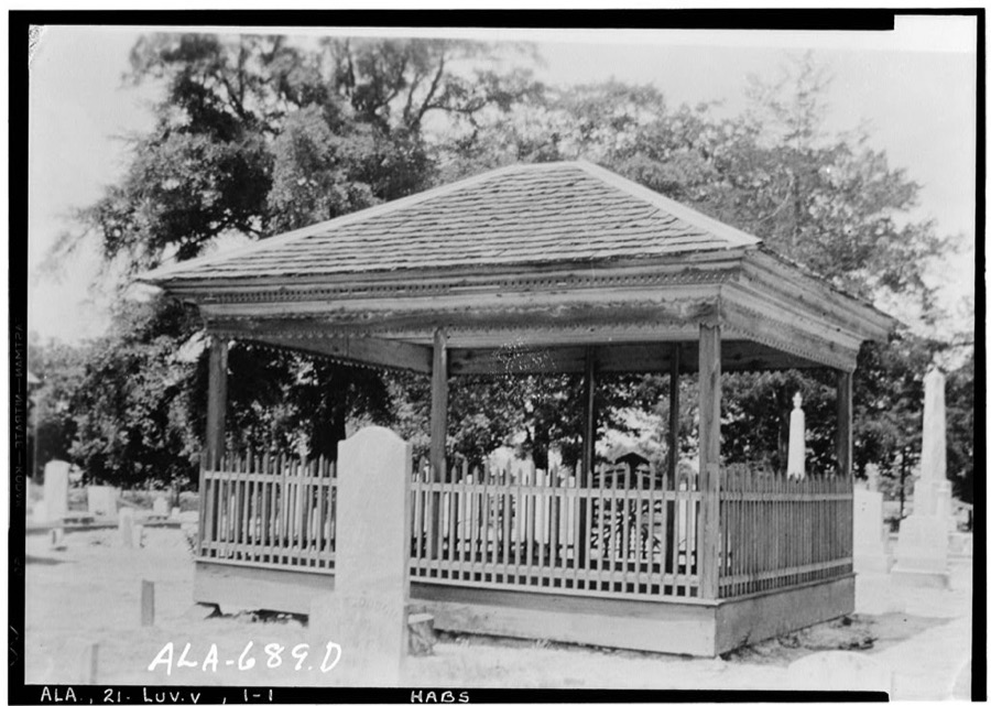
Every property in this county listed on the National Register of Historic Places, with the year it was listed and the federal nomination document.
| Photograph | Property | Type | Listed | Reference |
|---|---|---|---|---|
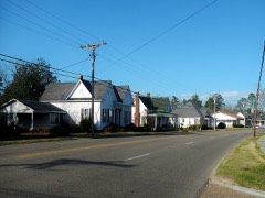 | Brantley Historic District | district | 2004 | 04000558 |
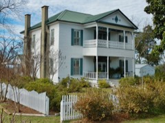 | Kirkpatrick House | building | 1975 | 75000309 |
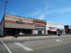 | Luverne Historic District | district | 2005 | 04000926 |
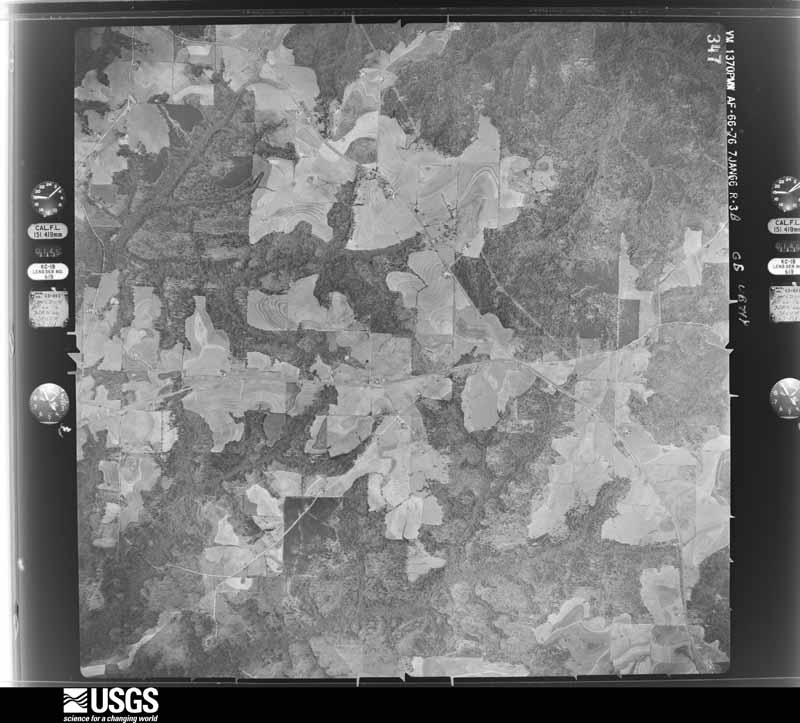
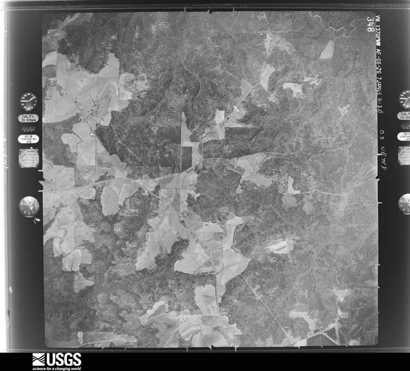
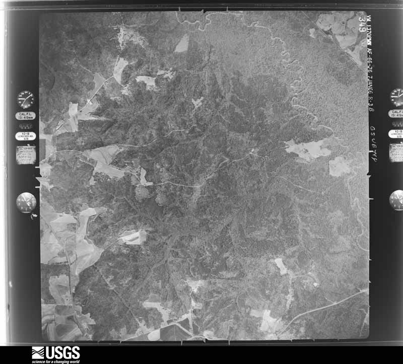
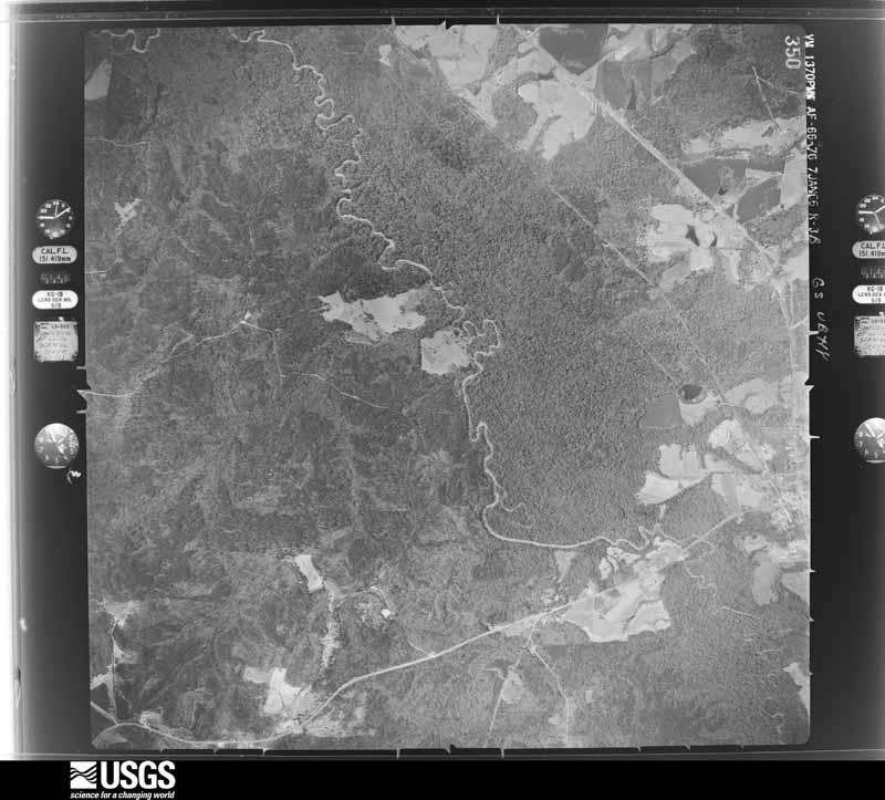
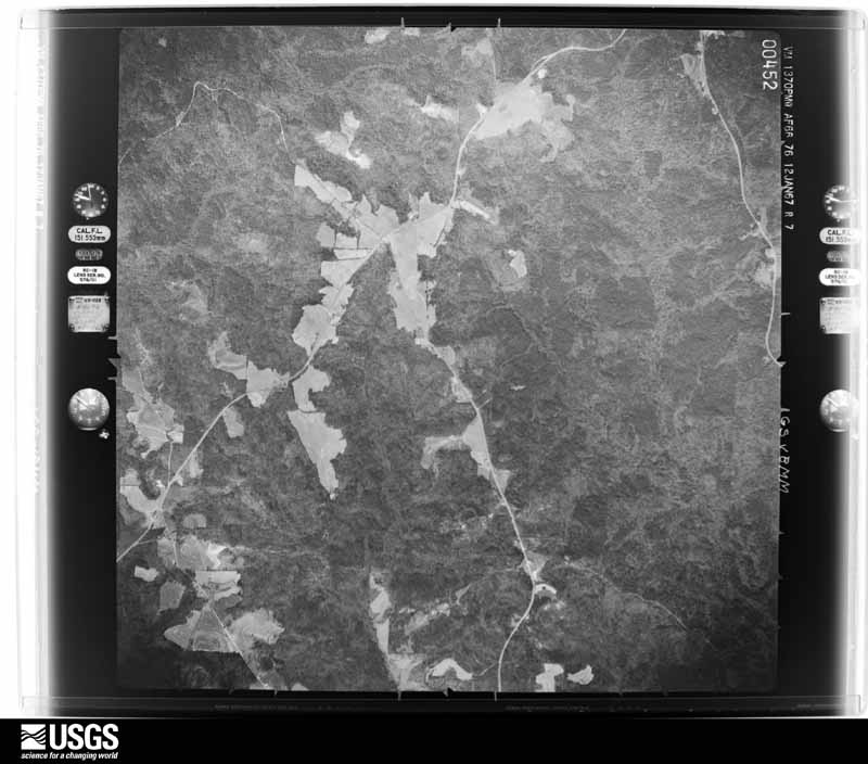
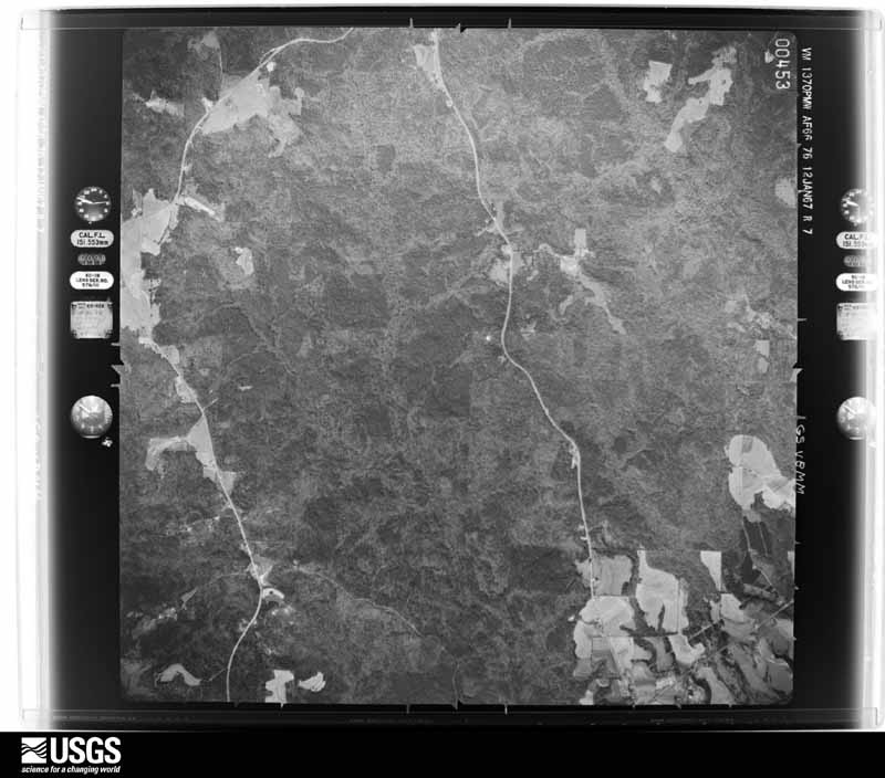
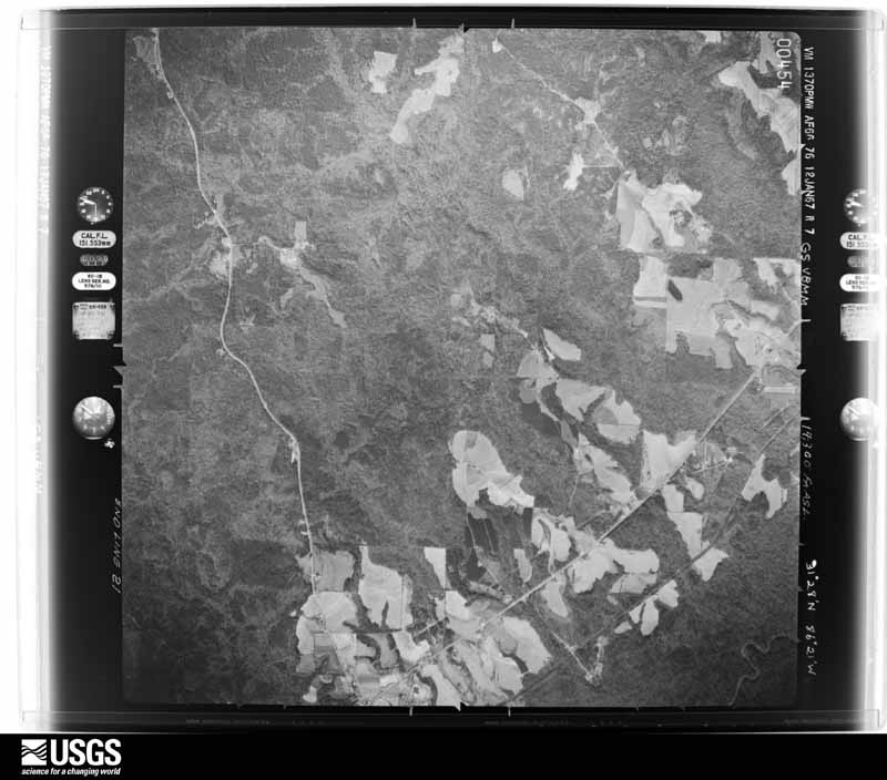
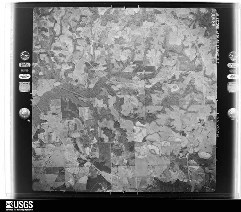
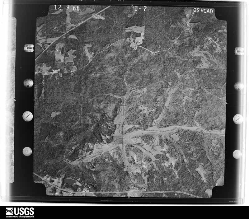
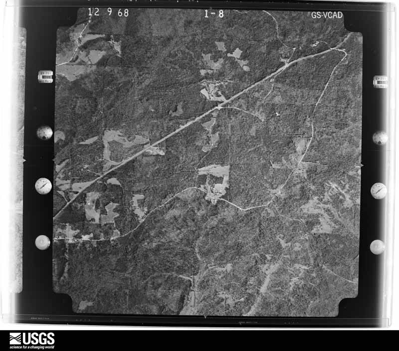
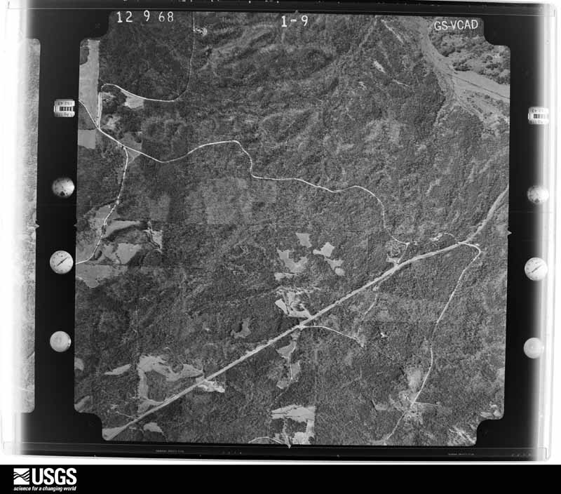
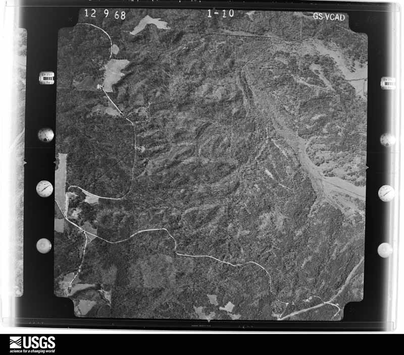
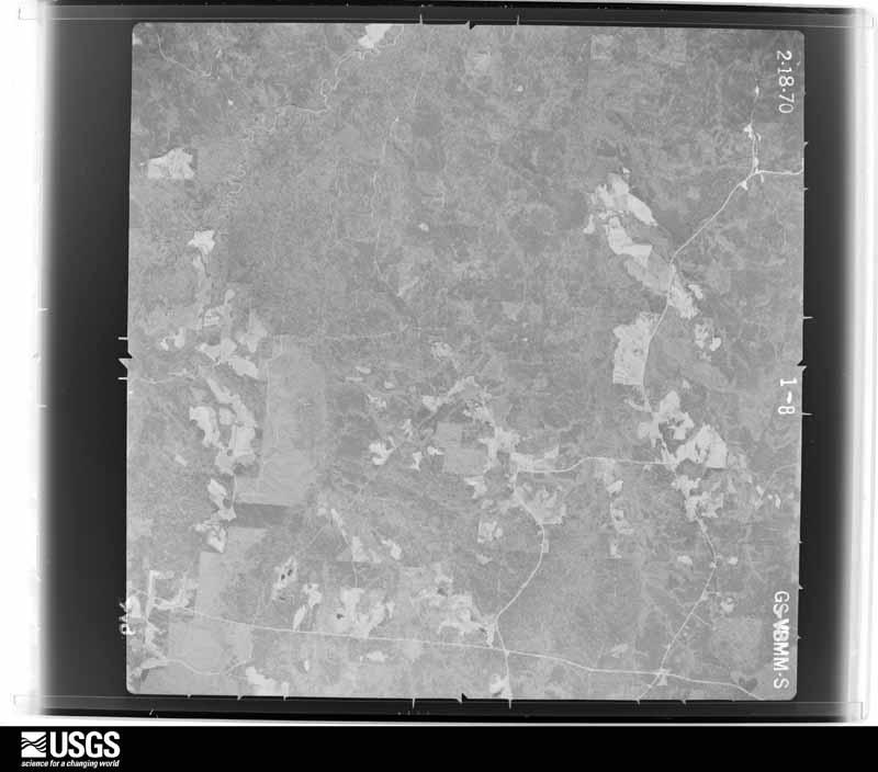
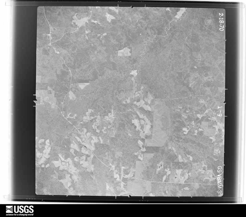
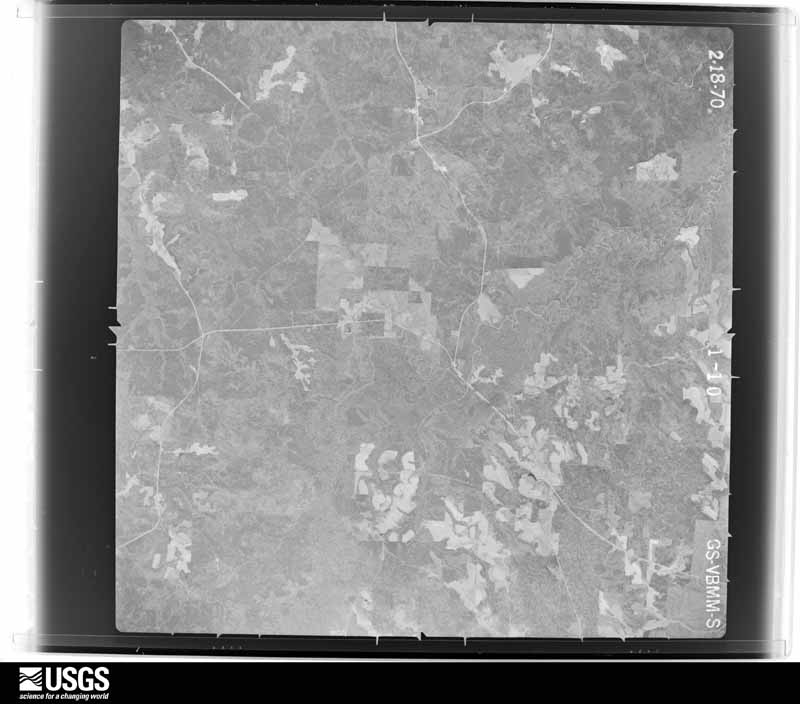
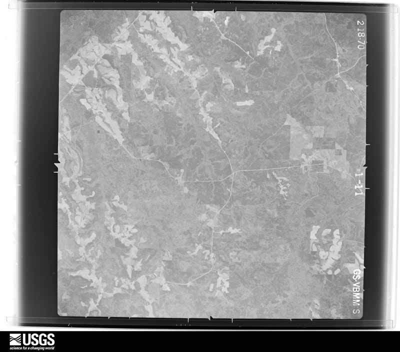
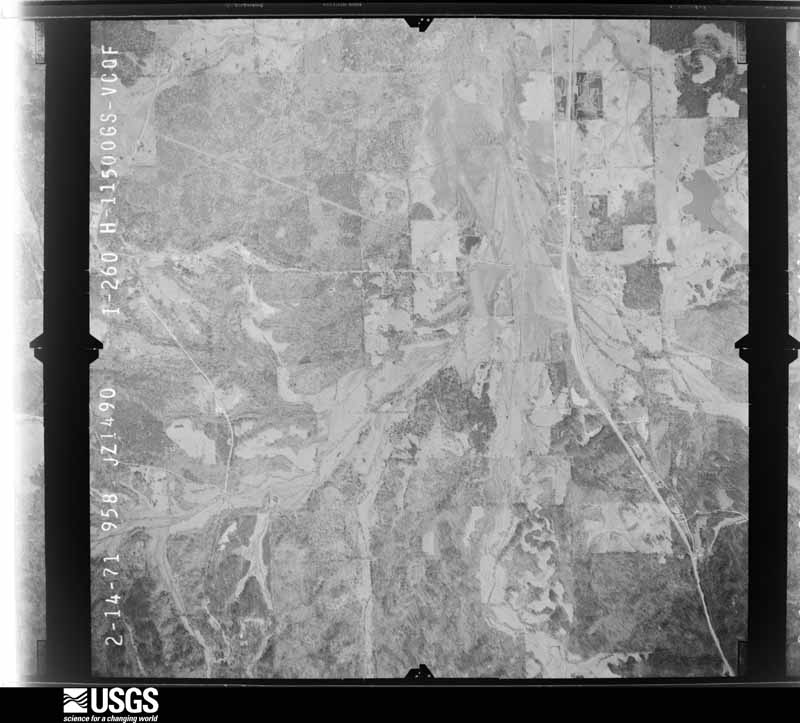
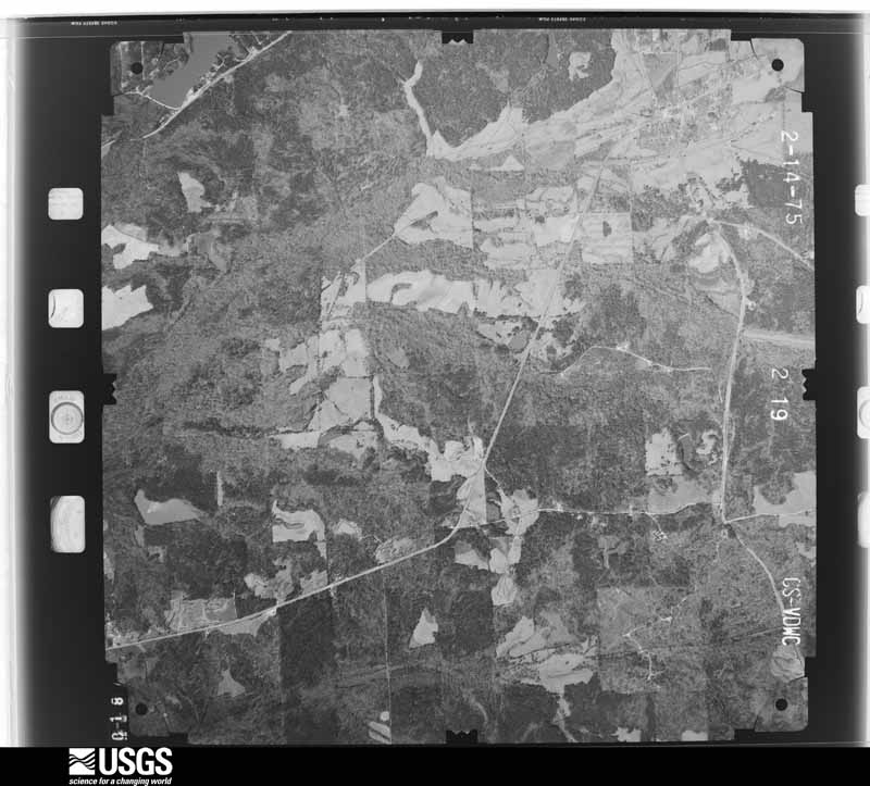
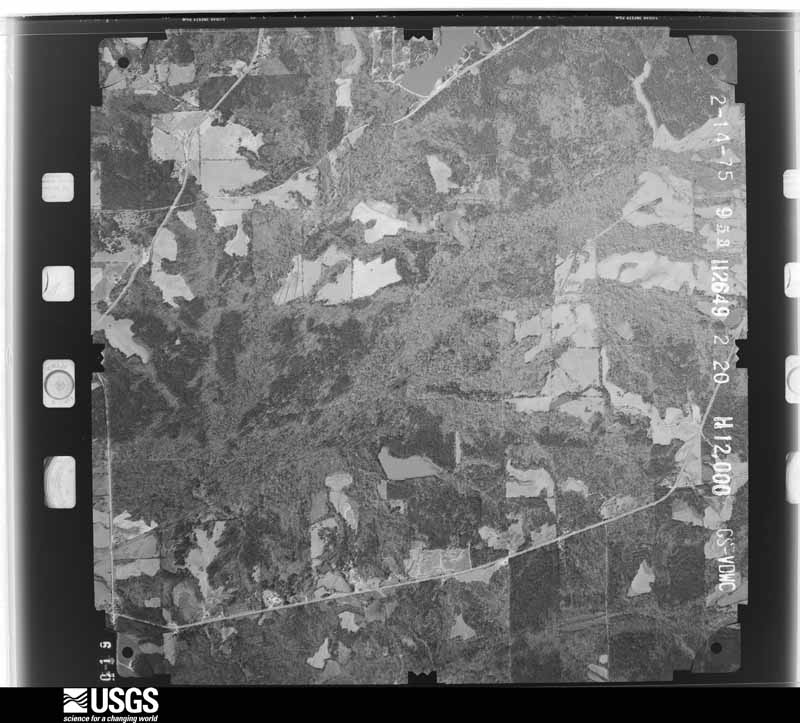
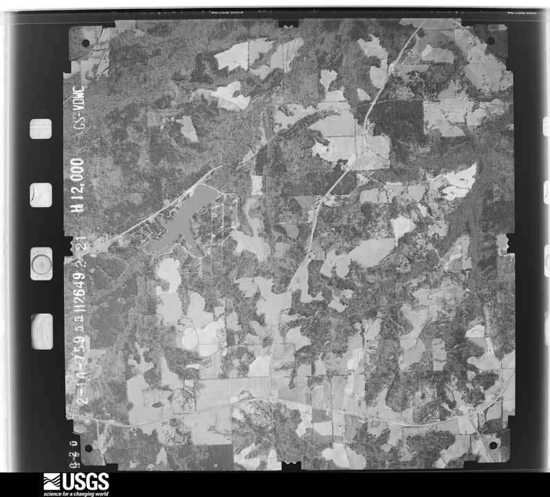
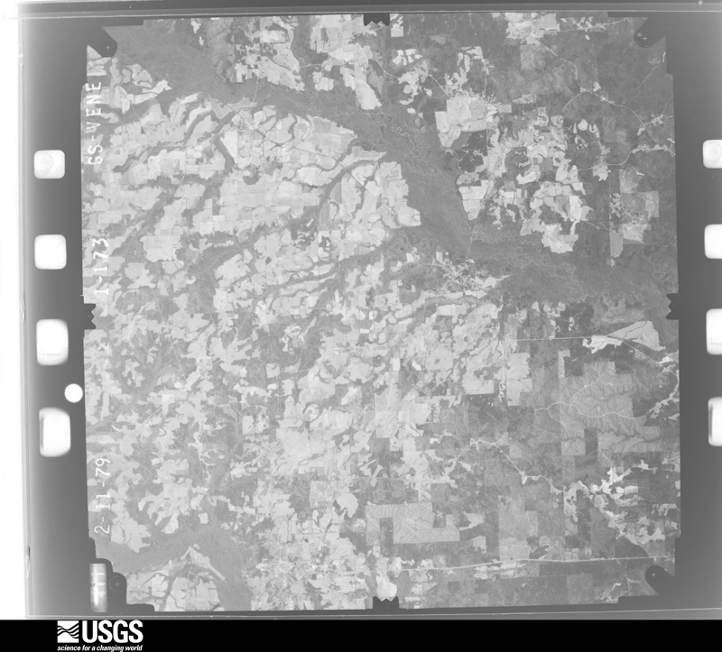
Flown by the U.S. Geological Survey between 1937 and 1989, the Aerial Photo Single Frames collection is the definitive mid-century view of the land: fields, roads and rivers as the camera saw them. The Survey holds 998 frames inside the rectangle that bounds this county; the 33 frames below were taken over the county itself, chosen across the decades of flights (at most four a year from that rectangle), so one flight cannot crowd out the rest. The full set is free to browse and download at EarthExplorer under the dataset Aerial Photo Single Frames.
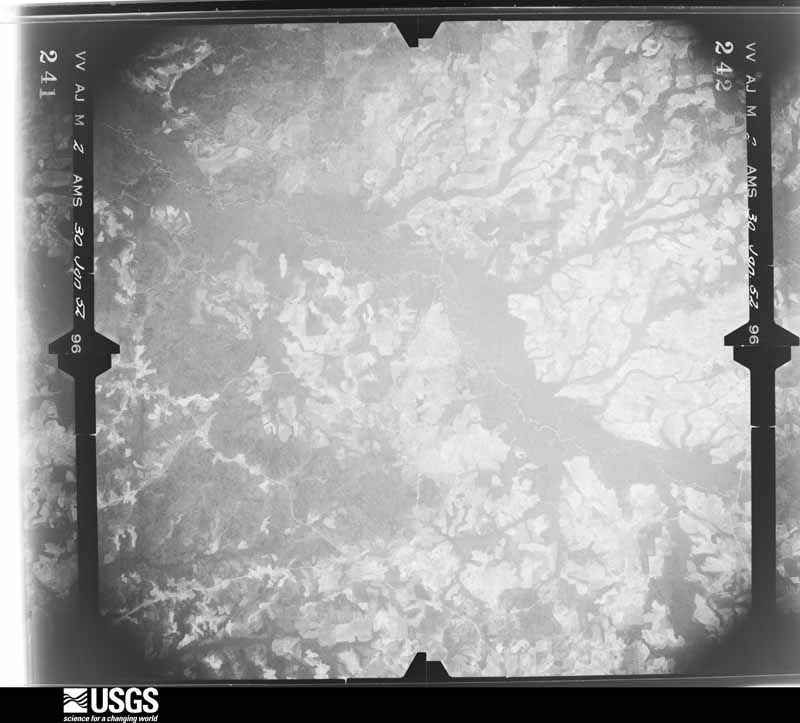
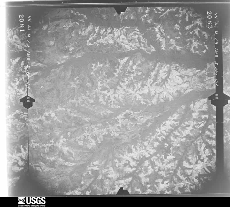
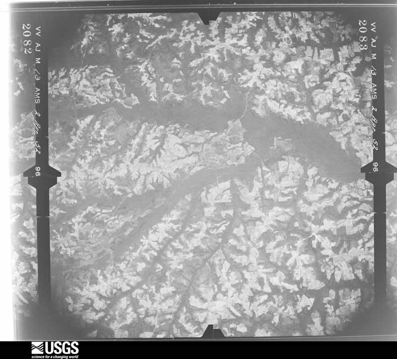
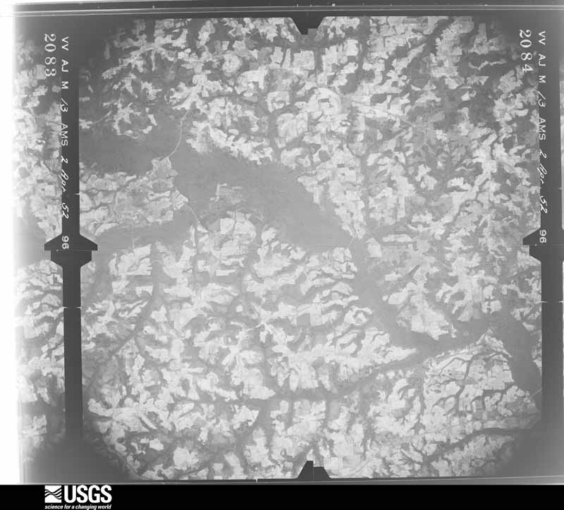
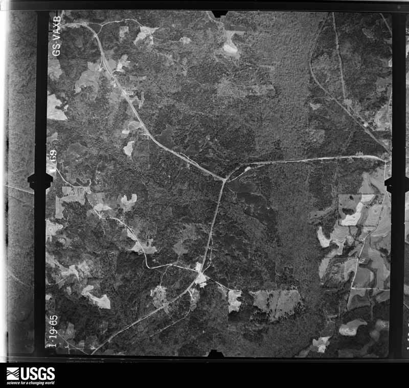
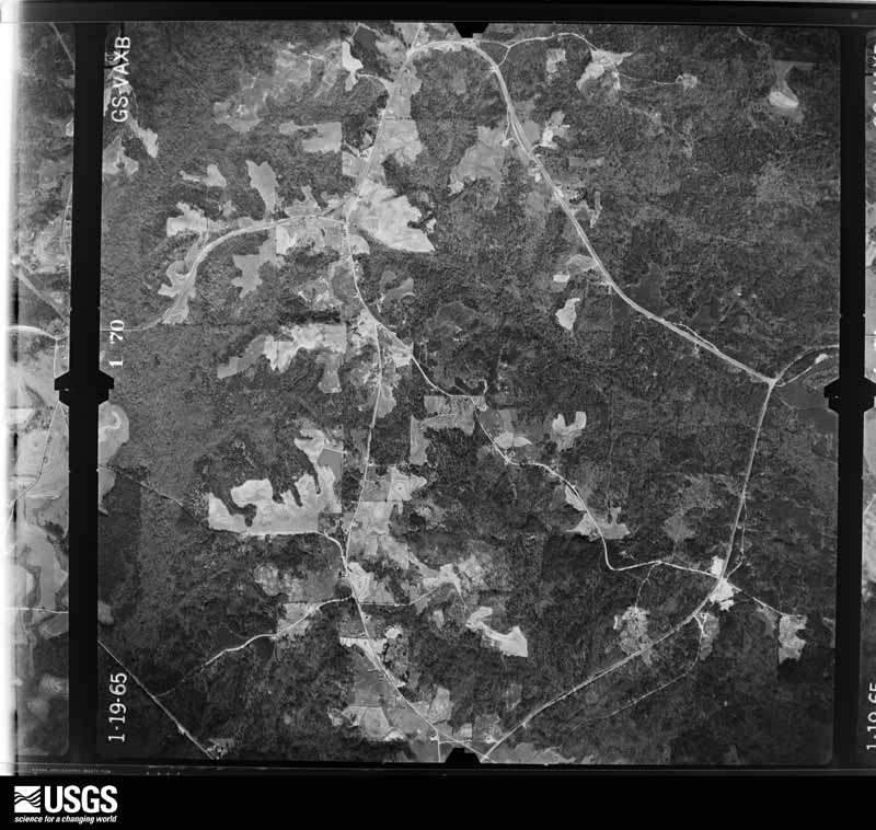
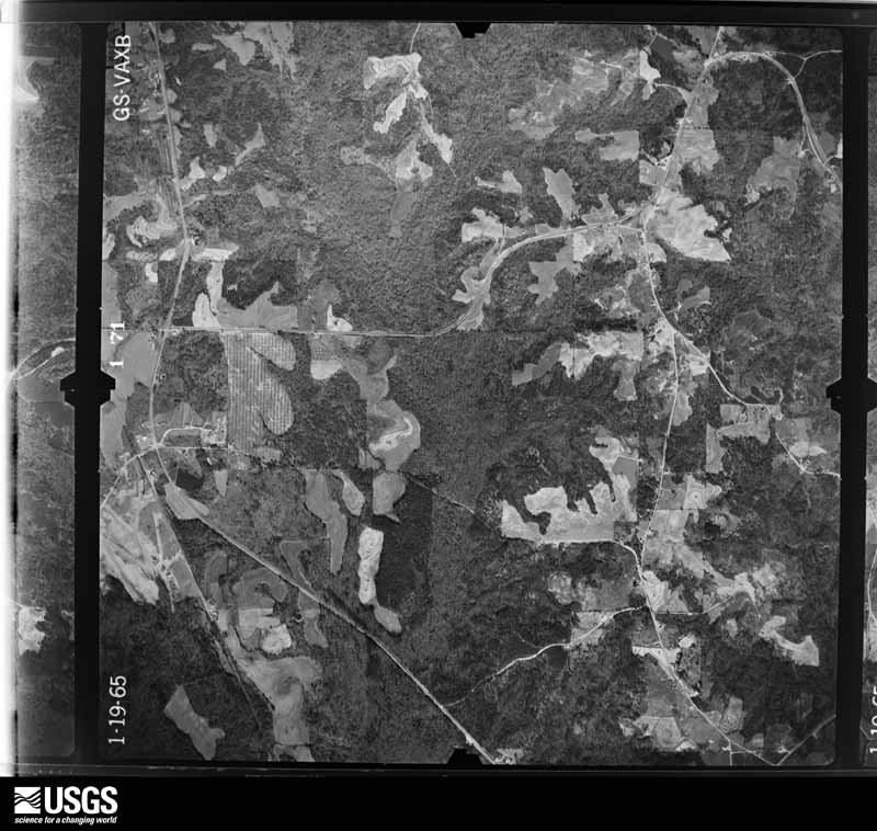
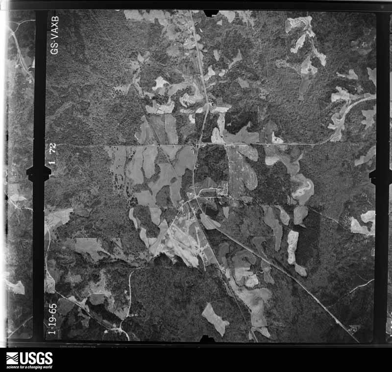
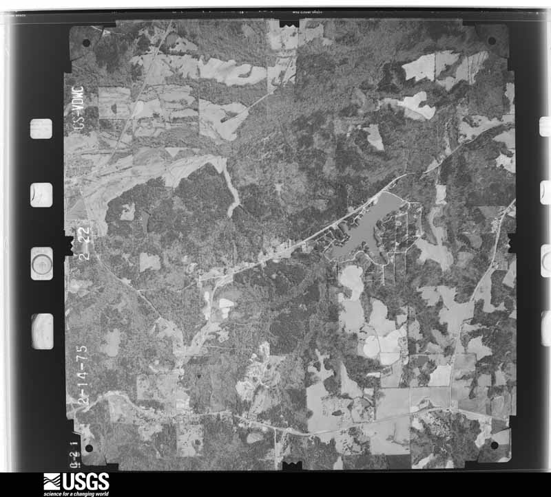
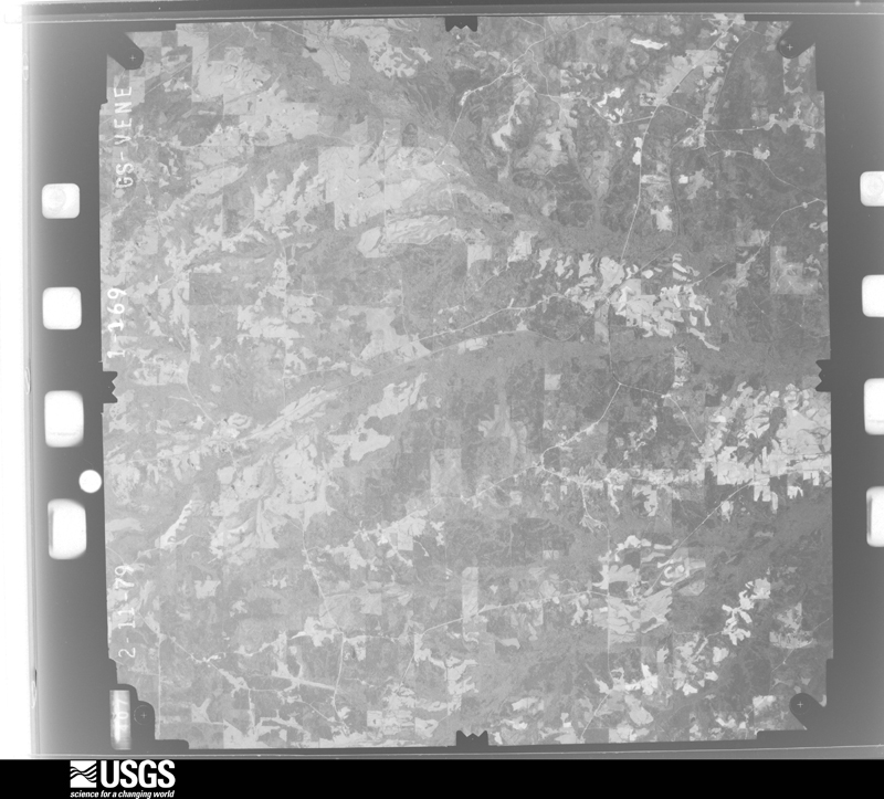
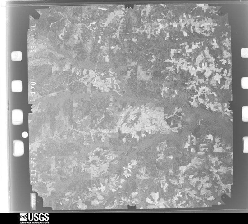
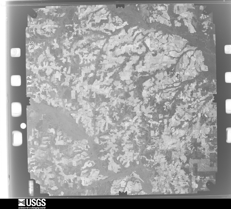
The thermometers that kept this county's weather, and the gages that measured the flow of its streams, as the federal records hold them. The extremes below are measured values from those records, not estimates.
Who lived here in 1950, one enumeration district at a time, as the Census Bureau described each district. Each row opens its official National Archives result, with Population Schedules and ED Maps available there.
Every wildfire the federal occurrence database records inside this county: 602 of them, burning about 3,827 acres. 10 started naturally and 95 were recorded as arson. Each settlement page carries the fires within five miles of it.
| Reported cause | Fires |
|---|---|
| Debris and open burning | 234 |
| Missing data/not specified/undetermined | 118 |
| Arson/incendiarism | 95 |
| Recreation and ceremony | 57 |
| Equipment and vehicle use | 40 |
| Railroad operations and maintenance | 17 |
| Smoking | 14 |
| Natural | 10 |
| Misuse of fire by a minor | 9 |
| Power generation/transmission/distribution | 4 |
| Other causes | 3 |
| Fireworks | 1 |
The five largest, by the area the report gives. Two of them were set deliberately.
| Date | Cause | Size | Reported by | Name on the report |
|---|---|---|---|---|
| 28 March 2006 | Arson/incendiarism | 162 acres | Alabama Forestry Commission | POWELL |
| 31 January 2015 | Missing data/not specified/undetermined | 111 acres | Alabama Forestry Commission | SER-20150131-001 |
| 13 May 1998 | Debris and open burning | 107 acres | Alabama Forestry Commission | not named |
| 2 April 2010 | Debris and open burning | 94 acres | Alabama Forestry Commission | not named |
| 24 March 2006 | Debris and open burning | 92 acres | Alabama Forestry Commission | not named |
| 29 March 2013 | Missing data/not specified/undetermined | 89 acres | Alabama Forestry Commission | SER-20130329-003 |
| 3 March 1996 | Railroad operations and maintenance | 87 acres | Alabama Forestry Commission | not named |
| 22 January 2011 | Arson/incendiarism | 80 acres | Alabama Forestry Commission | CO RD 50, AL |
Every settlement page carries the fires within five miles of it - see the settlement index below.
The NOAA Storm Events Database holds 250 reports for this county, causing no deaths, 30 injuries and about $6,839,000 in recorded property damage. Each settlement page carries the reports that name it.
| Kind of event | Reports |
|---|---|
| Thunderstorm Wind | 158 |
| Hail | 38 |
| Tornado | 31 |
| Flash Flood | 17 |
| Funnel Cloud | 3 |
| Flood | 2 |
| Lightning | 1 |
The most serious of them, by death, then injury, then recorded damage. The accounts are quoted exactly as the forecast office filed them.
| When | Event | Place named | Harm | What the report says |
|---|---|---|---|---|
| January 1990 | Tornado (F1) | not stated | 28 hurt, $2,500,000 | no account filed |
| September 1965 | Tornado (F2) | not stated | 2 hurt, $25,000 | no account filed |
| April 2017 | Thunderstorm Wind | Luverne | $1,000,000 | Most of the damage in and around the city of Luverne was produced by a corridor of enhanced straight line winds with top winds estimated as high as 90 mph. Significant tree and power line damage was observed in the city with a few homes suffering significant shingle damage. A few homes were also damaged by fallen trees. A few businesses in downtown Luverne suffered major roof loss. The greatest damage occurred on Fourth Street where a single wide mobile home was pushed off its unanchored foundation and destroyed. |
| March 1998 | Flash Flood | Countywide | $300,000 | no account filed |
| November 2014 | Tornado (EF1) | Blackrock | $285,000 | The tornado first touched own on Cook Stand Road just east of the Butler County line. Several homes experienced significant damage due to downed trees. A double wide manufactured home was shifted off its blocks. The tornado tracked east northeast across highway 10 where it produced minor shingle damage and broken windows to a single family home. The tornado continued northeast producing sporadic tree damage. A chicken house was destroyed on Quail Tower Road. The tornado intensified again as it crossed highway 331. Numerous chicken houses were destroyed on CR 50 and Cross Road. The tornado continued northeast and produced additional sporadic tree damage until it reached the Pike County line just south and east of Petrey. |
| November 1996 | Thunderstorm Wind | Highland Home | $250,000 | no account filed |
| April 1969 | Tornado (F4) | not stated | $250,000 | no account filed |
| January 2015 | Tornado (EF2) | Theba | $200,000 | A severe thunderstorm moved northeastward across Crenshaw County and spawned a tornado which tracked from extreme southwest Crenshaw County to east central Crenshaw County. The tornado initially touched down at EF-0 intensity about 5 miles north of Dozier or about 1 mile northeast of Leon. The tornado varied in strength from EF-1 to EF-2 before dissipating about 4 miles east of Luverne, or about 1 mile south-southwest of Vidette. The survey showed strong evidence of convergence into the center of the path for just about every single damage location surveyed. Damage along the path was primarily snapped trunks of pine and hardwood trees on both hilltops and valleys. Chicken houses and outbuildings were destroyed. In addition, the tornado resulted in significant damage to a house and car at the end of the path before the tornado quickly dissipated. The path width varied from 40 yards to a maximum of 100 yards, but averaged 60 to 80 yards at most points. |
| July 2003 | Tornado (F1) | Honoraville | $200,000 | A tornado, that was spawned as Tropical Storm Bill moved inland, first touched down just east of the intersection of County roads 11 and 86 on Mothershed road which is just northeast of Honoraville. The tornado was narrow at the beginning and damage was limited to trees. The tornado tracked north along Mothershed road and some trees fell on a few homes and some shingles were blown off. Two sheds were also blown down. The tornado then crossed County road 68 where the major damage to homes occurred. A brick home had its roof blown off and parts of the brick walls were blown down. Several manufactured homes were also damaged. The tornado reached its maximum width of about 600 yards here. The tornado then tracked north northwest across open forests where the width of damage narrowed to a couple hundred yards. The tornado then lifted back into the clouds near Faulk road and County road 11. A manufactured home on Faulk road had its roof torn off and the home was shifted off its blocks. The home was oriented parallel to the movement of the storm. Other than minor scrapes and bruises, no injuries were reported. |
| April 2005 | Tornado (F0) | Bradleyton | $150,000 | A weak tornado moved across the northeast part of Crenshaw county. The tornado touched down near Bradleyton and moved almost due east for about four miles. Most of the damage was to timber with some minor damage to a church and a few homes. The most damage occurred when a tree fell through an almost new manufactured home and split the home in two. The tornado dissipated near the Helicon community. The lady who would have normally been sleeping in the home where the tree fell, had gone to the hospital for an appointment. Other people were sleeping on both ends of the home and never knew the tree had split the home in two until someone woke them up. No one was injured. |
| December 2015 | Flood | Bullock | $135,000 | Numerous roads were closed throughout the county and several unpaved roads were damaged. |
| April 2018 | Tornado (EF1) | Blackrock | $100,000 | The EF-1 tornado touched down just prior to crossing Jeffcoast Road, then moved north-northeast destroying a manufactured home, causing moderate damage to a second manufactured home, destroyed a shed, and uprooted and snapped large trees, one of which fell on a vehicle. The tornado was at its widest as it cut through a grove of trees and open fields before crossing Chapel Hill Road. A metal roof was then torn off a barn and thrown one-third of a mile back to the south. The tornado then caused sporadic damage as it passed through mainly wooded areas uprooting and snapping large trees, with one falling on a house causing minor damage, before lifting near Center Ridge Road. |
| April 2018 | Tornado (EF1) | Highland Home | $100,000 | The tornado touched down near Daniel Mill Road causing minor tree damage and then passed through mainly wooded areas as it moved north-northeast. The tornado strengthened to an EF-1 before reaching Oliver Myers Road, passing through wooded areas uprooting and snapping large trees as it approached a small lake in the Magnolia Shores area. The tornado caused minor to moderate damage to several homes around the lake, mainly to roofs and siding. The tornado then proceeded through more woods before dissipating. |
| April 2007 | Tornado (EF0) | Saville | $100,000 | A weak EF-0 tornado did some minor damage in the extreme north part of the county near Clearview. The tornado touched down near County Road 11 and damaged a poultry farm, three of the buildings on the farm had their tin roofs damaged. Three other buildings had parts of their roofs taken off. None of the chickens were injured. An eye witness said the tornado looked like pencil dropping out of the sky. The tornado continued northeast and dissipated near Hwy 97. A church located in this area had shingles taken off and a tree fell on the roof. |
| September 1998 | Tornado (F1) | Patsburg | $100,000 | A tornado briefly touched down near the community of Patsburg. Two homes had major damage and a business was destroyed. Trees and power lines were also blown down. Several horses were also injured. |
| November 1996 | Tornado (F1) | Highland Home | $70,000 | no account filed |
| April 1997 | Thunderstorm Wind | Luverne | $60,000 | Several trees and power lines were blown down just north of Luverne. One of the trees happened to fall onto a house and caused major damage to the home. A trailer was also turned over. |
| February 2022 | Flash Flood | Saville | $50,000 | Heavy rain caused numerous roads to be damaged or washed out due to flash flooding. |
| September 1998 | Tornado (F1) | Glenwood | $50,000 | A tornado moving northwest out of western Pike County, moved through the community of Glenwood and lifted back into the cloud just northwest of Glenwood. The tornado destroyed a trailer and damaged several other homes. Trees and power lines were also blown down. No injuries were reported. |
| September 1998 | Tornado (F1) | Luverne | $50,000 | A tornado briefly touched down just northwest of Luverne. The tornado destroyed a county barn and caused minor damage to several brick homes. Trees and power lines were also blown down. |
| September 1998 | Tornado (F1) | Petrey | $50,000 | A tornado briefly touched down near the community of Petrey. Three homes suffered major damage. Trees and power lines were also blown down. No injuries were reported. |
| March 2016 | Thunderstorm Wind | Brantley | $40,000 | Winds estimated at 70 mph damaged multiple structures in Brantley. |
| February 2008 | Thunderstorm Wind | Highland Home | $30,000 | High winds from a thunderstorm caused roof damage to a home and damaged a barn just south of Highland Home. |
| October 2007 | Thunderstorm Wind | Brantley | $30,000 | no account filed |
| September 2009 | Flash Flood | Rutledge | $25,000 | Chicken houses flooded off county Road 77 near Rutledge. Portions of Alabama State Highway 10 near Rutledge closed due to flooding. Some homes were flooded in the Rutledge area. |
| July 2007 | Thunderstorm Wind | Brantley | $25,000 | A severe thunderstorm produced high winds that damaged a house and downed trees in Brantley. |
| February 2003 | Thunderstorm Wind | Highland Home | $25,000 | High winds from a thunderstorm blew down several trees. Some of the trees fell on a couple of homes and caused minor damage to them. |
| May 1980 | Tornado (F1) | not stated | $25,000 | no account filed |
| November 1973 | Tornado (F2) | not stated | $25,000 | no account filed |
| May 1969 | Tornado (F2) | not stated | $25,000 | no account filed |
| April 2019 | Tornado (EF0) | Social Town | $20,000 | The tornado formed west of Goshen, AL near the intersection of Jones Bridge Rd and Athen Church Rd where it uprooted trees and tore the roof off of a chicken barn. The tornado continued east causing damage to tree limbs before crossing N Goshen Rd into Pike County. |
| June 2018 | Thunderstorm Wind | Luverne | $20,000 | Winds estimated at 70 mph downed numerous trees and power lines throughout the county with sporadic roof damage. |
| December 2008 | Thunderstorm Wind | Brantley | $20,000 | Trees were downed in Brantley and a roof was damaged. |
| March 2019 | Tornado (EF1) | Honoraville | $15,000 | The tornado formed just west of Moseley Road where it snapped an uprooted numerous trees, including one large tree that fell on a mobile home. The tornado then crossed over Moseley Road damaging a nearby outbuilding before moving into a heavily forested area where sporadic tree damage continued. The tornado lifted shortly after crossing Bowden Road. |
| May 2009 | Thunderstorm Wind | Brantley | $15,000 | Winds estimated at 60 mph partially removed a roof from a single family home. A tree was also blown over onto the house. |
| May 2006 | Thunderstorm Wind | Brantley | $15,000 | High winds from a thunderstorm blew part of a roof off a home near Weed (near the intersection of State Highway 141 and County Road 43). |
| April 2005 | Thunderstorm Wind | Highland Home | $15,000 | Several trees and power lines were blown down between Highland Home and Luverne. The trees and power lines were blown down by high winds from a line of thunderstorms that was moving through the area. |
| May 2005 | Tornado (F0) | Dozier | $15,000 | A weak tornado briefly touched down near Dozier. The tornado blew down several trees and power lines and also damaged a couple of out buildings. |
| March 2001 | Thunderstorm Wind | Dozier | $15,000 | Structural damage, due to high thunderstorm winds, was reported in the community. |
| October 2001 | Thunderstorm Wind | Luverne | $15,000 | High winds blew down several trees and power lines near Luverne. |
| March 2009 | Thunderstorm Wind | Highland Home | $12,000 | Winds estimated at 60 mph damaged trees...powerlines and chicken houses along Highway 331 south of Highland Home. |
| February 2008 | Thunderstorm Wind | Dozier | $12,000 | no account filed |
| February 2008 | Thunderstorm Wind | Highland Home | $12,000 | no account filed |
| February 2008 | Thunderstorm Wind | Brantley | $12,000 | no account filed |
| January 2017 | Thunderstorm Wind | Luverne | $10,000 | Numerous trees and power lines down in the city of Luverne. One business experienced minor wind damage. |
| March 2016 | Thunderstorm Wind | Rutledge | $10,000 | Severe thunderstorm wind gusts caused damage to one house and downed numerous tree across the southern portion of Crenshaw County. |
| July 2012 | Thunderstorm Wind | Brantley | $10,000 | Winds estimated at 70 mph downed several trees in the Brantley area with some homes damaged. US Hwy 331 blocked due to downed trees. |
| May 2009 | Thunderstorm Wind | Highland Home | $10,000 | Winds at estimated 60 mph downed trees in Highland Home. |
| August 2009 | Thunderstorm Wind | Glenwood | $10,000 | Winds estimated at 60 mph downed large limbs on County Road 6 between Luverne and Glenwood. Power was knocked out in Luverne. |
| April 2005 | Thunderstorm Wind | Luverne | $10,000 | Trees and power lines were blown down by high winds from a thunderstorm. |
| January 2002 | Thunderstorm Wind | Patsburg | $10,000 | High winds from a thunderstorm blew down several trees and power lines near Patsburg. Tin siding was also blown from an outbuilding. |
| March 2002 | Thunderstorm Wind | Highland Home | $10,000 | Trees and power lines were blown down near Highland Home. Dime size hail was also reported. |
| July 2002 | Thunderstorm Wind | Luverne | $10,000 | Trees were blown down and a roof was damaged at a local Flea Market by high winds from a thunderstorm near Luverne. |
| July 2002 | Thunderstorm Wind | Luverne | $10,000 | Trees and power lines were blown down by winds from a thunderstorm near Luverne. |
| July 2002 | Thunderstorm Wind | Brantley | $10,000 | Trees were blown down near Brantley by high winds from a thunderstorm. Dime size hail was also reported with the storm. |
| October 2001 | Thunderstorm Wind | Dozier | $10,000 | High winds blew down several trees near Dozier. |
| May 1999 | Flash Flood | Countywide | $10,000 | Slow moving thunderstorms, that dropped nearly six inches of rain in a short period of time, caused water to rise over several roads. Several dirt roads were washed out due to the heavy runoff. Several roads were impassable through most of the afternoon due to high water. After the thunderstorms moved out the area the water receded. No one was inquired. |
| October 1995 | Tornado (F0) | Brantley | $10,000 | A tornado briefly touched down near Brantley on U.S. Highway 29. Several trees and power lines were blown down. |
| October 1995 | Tornado (F0) | Saville | $10,000 | A tornado briefly touched down along U.S. Highway 331 just east of Saville. Several trees and power lines were blown down. |
| March 2001 | Flash Flood | Countywide | $10,000 | no account filed |
The Survey's mineral resources record lists 167 workings inside this county. None of them still produces: all are closed or unrecorded. Each settlement page carries the workings within five miles of it.
| Commodity | Workings |
|---|---|
| Iron | 160 |
| Clay | 6 |
| Sand and Gravel, Construction | 1 |
| Manganese | 1 |
The least common of them first, because a county's hundredth gravel pit says nothing its first ten did not.
| Where | Site | Commodity | Status | Recorded |
|---|---|---|---|---|
| Bowers and Burkette Pit | Sand and Gravel, Construction | Past Producer | ||
| Crenshaw County Brown Iron Ore Deposits | Iron, Manganese | Past Producer | 1939 | |
| Cre 1 Clay Prospect | Clay | Prospect | ||
| Cre 2 Clay Prospect | Clay | Prospect | ||
| Cre 3 Clay Prospect | Clay | Past Producer | ||
| Cre 4 Clay Prospect | Clay | Prospect | ||
| Cre 6 Clay Prospect | Clay | Prospect | ||
| Cre 7 Clay Prospect | Clay | Prospect | ||
| E W Williams Prospect | Iron | Prospect | ||
| E W Williams Prospect | Iron | Prospect | ||
| Felix Horn Prospect | Iron | Prospect | ||
| Horn Pit | Iron | Past Producer | ||
| J S Layton Prospect | Iron | Prospect | ||
| Joe West Prospect | Iron | Prospect | ||
| Margaret H Hooper Prospect | Iron | Prospect | ||
| Unnamed | Iron | Unknown | ||
| Unnamed | Iron | Unknown | ||
| Unnamed | Iron | Unknown | ||
| Unnamed | Iron | Unknown | ||
| Unnamed | Iron | Unknown | ||
| Unnamed | Iron | Unknown | ||
| Unnamed | Iron | Unknown | ||
| Unnamed | Iron | Unknown | ||
| Unnamed | Iron | Unknown | ||
| Unnamed | Iron | Unknown | ||
| Unnamed | Iron | Unknown | ||
| Unnamed | Iron | Unknown | ||
| Unnamed | Iron | Unknown | ||
| Unnamed | Iron | Unknown | ||
| Unnamed | Iron | Unknown | ||
| Unnamed | Iron | Unknown | ||
| Unnamed | Iron | Unknown | ||
| Unnamed | Iron | Unknown | ||
| Unnamed | Iron | Unknown | ||
| Unnamed | Iron | Unknown | ||
| Unnamed | Iron | Unknown | ||
| Unnamed | Iron | Unknown | ||
| Unnamed | Iron | Unknown | ||
| Unnamed | Iron | Unknown | ||
| Unnamed | Iron | Unknown | ||
| Unnamed | Iron | Unknown | ||
| Unnamed | Iron | Unknown | ||
| Unnamed | Iron | Unknown | ||
| Unnamed | Iron | Unknown | ||
| Unnamed | Iron | Unknown | ||
| Unnamed | Iron | Unknown | ||
| Unnamed | Iron | Unknown | ||
| Unnamed | Iron | Unknown | ||
| Unnamed | Iron | Unknown | ||
| Unnamed | Iron | Unknown | ||
| Unnamed | Iron | Unknown | ||
| Unnamed | Iron | Unknown | ||
| Unnamed | Iron | Unknown | ||
| Unnamed | Iron | Unknown | ||
| Unnamed | Iron | Unknown | ||
| Unnamed | Iron | Unknown | ||
| Unnamed | Iron | Unknown | ||
| Unnamed | Iron | Unknown | ||
| Unnamed | Iron | Unknown | ||
| Unnamed | Iron | Unknown | ||
| Unnamed | Iron | Unknown | ||
| Unnamed | Iron | Unknown | ||
| Unnamed | Iron | Unknown | ||
| Unnamed | Iron | Unknown | ||
| Unnamed | Iron | Unknown | ||
| Unnamed | Iron | Unknown | ||
| Unnamed | Iron | Unknown | ||
| Unnamed | Iron | Unknown | ||
| Unnamed | Iron | Unknown | ||
| Unnamed | Iron | Unknown | ||
| Unnamed | Iron | Unknown | ||
| Unnamed | Iron | Unknown | ||
| Unnamed | Iron | Unknown | ||
| Unnamed | Iron | Unknown | ||
| Unnamed | Iron | Unknown | ||
| Unnamed | Iron | Unknown | ||
| Unnamed | Iron | Unknown | ||
| Unnamed | Iron | Unknown | ||
| Unnamed | Iron | Unknown | ||
| Unnamed | Iron | Unknown | ||
| Unnamed | Iron | Unknown | ||
| Unnamed | Iron | Unknown | ||
| Unnamed | Iron | Unknown | ||
| Unnamed | Iron | Unknown | ||
| Unnamed | Iron | Unknown | ||
| Unnamed | Iron | Unknown | ||
| Unnamed | Iron | Unknown | ||
| Unnamed | Iron | Unknown | ||
| Unnamed | Iron | Unknown | ||
| Unnamed | Iron | Unknown | ||
| Unnamed | Iron | Unknown | ||
| Unnamed | Iron | Unknown | ||
| Unnamed | Iron | Unknown | ||
| Unnamed | Iron | Unknown | ||
| Unnamed | Iron | Unknown | ||
| Unnamed | Iron | Unknown | ||
| Unnamed | Iron | Unknown | ||
| Unnamed | Iron | Unknown | ||
| Unnamed | Iron | Unknown | ||
| Unnamed | Iron | Unknown | ||
| Unnamed | Iron | Unknown | ||
| Unnamed | Iron | Unknown | ||
| Unnamed | Iron | Unknown | ||
| Unnamed | Iron | Unknown | ||
| Unnamed | Iron | Unknown | ||
| Unnamed | Iron | Unknown | ||
| Unnamed Deposit | Iron | Occurrence | ||
| Unnamed Deposit | Iron | Occurrence | ||
| Unnamed Deposit | Iron | Occurrence | ||
| Unnamed Deposit | Iron | Occurrence | ||
| Unnamed Deposit | Iron | Occurrence | ||
| Unnamed Deposit | Iron | Occurrence | ||
| Unnamed Deposit | Iron | Occurrence | ||
| Unnamed Deposit | Iron | Occurrence | ||
| Unnamed Deposit | Iron | Occurrence | ||
| Unnamed Deposit | Iron | Occurrence | ||
| Unnamed Deposit | Iron | Occurrence | ||
| Unnamed Deposit | Iron | Occurrence | ||
| Unnamed Deposit | Iron | Occurrence | ||
| Unnamed Deposit | Iron | Occurrence | ||
| Unnamed Deposit | Iron | Occurrence | ||
| Unnamed Deposit | Iron | Occurrence | ||
| Unnamed Deposit | Iron | Occurrence | ||
| Unnamed Deposit | Iron | Occurrence | ||
| Unnamed Deposit | Iron | Occurrence | ||
| Unnamed Deposit | Iron | Occurrence | ||
| Unnamed Deposit | Iron | Occurrence | ||
| Unnamed Deposit | Iron | Occurrence | ||
| Unnamed Deposit | Iron | Occurrence | ||
| Unnamed Deposit | Iron | Occurrence | ||
| Unnamed Deposit | Iron | Occurrence | ||
| Unnamed Deposit | Iron | Occurrence | ||
| Unnamed Deposit | Iron | Occurrence | ||
| Unnamed Deposit | Iron | Occurrence | ||
| Unnamed Deposit | Iron | Occurrence | ||
| Unnamed Deposit | Iron | Occurrence | ||
| Unnamed Deposit | Iron | Occurrence | ||
| Unnamed Deposit | Iron | Occurrence | ||
| Unnamed Deposit | Iron | Occurrence | ||
| Unnamed Deposit | Iron | Occurrence | ||
| Unnamed Deposit | Iron | Occurrence | ||
| Unnamed Mine | Iron | Past Producer | ||
| Unnamed Mine | Iron | Past Producer | ||
| Unnamed Mine | Iron | Past Producer | ||
| Unnamed Mine | Iron | Past Producer | ||
| Unnamed Mine | Iron | Past Producer | ||
| Unnamed Mine | Iron | Past Producer | ||
| Unnamed Mine | Iron | Past Producer | ||
| Unnamed Mine | Iron | Past Producer | ||
| Unnamed Mine | Iron | Past Producer | ||
| Unnamed Mine | Iron | Past Producer | ||
| Unnamed Mine | Iron | Past Producer | ||
| Unnamed Mine | Iron | Past Producer | ||
| Unnamed Mine | Iron | Past Producer | ||
| Unnamed Mine | Iron | Past Producer | ||
| Unnamed Mine | Iron | Past Producer | ||
| Unnamed Mine | Iron | Past Producer | ||
| Unnamed Mine | Iron | Past Producer | ||
| Unnamed Mine | Iron | Past Producer | ||
| Unnamed Mine | Iron | Past Producer | ||
| Unnamed Mine | Iron | Past Producer | ||
| Unnamed Mine | Iron | Past Producer | ||
| Unnamed Mine | Iron | Past Producer | ||
| Unnamed Mine | Iron | Past Producer | ||
| Unnamed Mine | Iron | Past Producer | ||
| Unnamed Mine | Iron | Past Producer | ||
| W I Russell Prospect | Iron | Prospect |
Named settlements recorded in the Geographic Names Information System, each with the topographic sheets covering it. Villages, hamlets and abandoned places alike. Each is shown with the nearest named watercourse or landform and the survey quadrangle it falls on. The 1 place that was also surveyed for fire insurance comes first, with the number of atlases and photographs held for them.
Luverne census division · 36049 · On Sikes Mill Creek · Luverne quadrangle
7 sheets, 1953 to 1986
Fire insurance: 6 atlases
Petrey-Highland Home census division · 36041 · On Jordan Creek · Grady quadrangle
8 sheets, 1953 to 1986
Brantley census division · 36009 · On Moody Mill Creek · Brantley quadrangle
7 sheets, 1953 to 1986
Luverne census division · 36049 · On Huckleberry Branch · Fullers Crossroads quadrangle
7 sheets, 1953 to 1986
Luverne census division · 36071 · On Cane Creek · Luverne quadrangle
7 sheets, 1953 to 1986
Petrey-Highland Home census division · 36041 · Sandy Ridge quadrangle
11 sheets, 1953 to 1986
Petrey-Highland Home census division · 36042 · Danielsville quadrangle
7 sheets, 1953 to 1986
Brantley census division · 36028 · On Hornet Creek · Dozier quadrangle
7 sheets, 1953 to 1986
Petrey-Highland Home census division · 36049 · Fullers Crossroads quadrangle
7 sheets, 1953 to 1986
Petrey-Highland Home census division · 36041 · Lapine quadrangle
8 sheets, 1953 to 1986
Luverne census division · 36034 · On Cedar Creek · Glenwood quadrangle
8 sheets, 1953 to 1986
Petrey-Highland Home census division · 36041 · Lapine quadrangle
8 sheets, 1953 to 1986
Luverne census division · 36071 · On Siloam Creek · Luverne quadrangle
7 sheets, 1953 to 1986
Petrey-Highland Home census division · 36041 · Lapine quadrangle
8 sheets, 1953 to 1986
Brantley census division · 36028 · On Bradley Branch · Leon quadrangle
7 sheets, 1953 to 1986
Luverne census division · 36049 · Moodys Crossroads quadrangle
7 sheets, 1953 to 1986
Brantley census division · 36009 · On Burgan Branch · Leon quadrangle
7 sheets, 1953 to 1986
Petrey-Highland Home census division · 36046 · Danielsville quadrangle
7 sheets, 1953 to 1986
Luverne census division · 36049 · On Turkey Creek · Petrey quadrangle
7 sheets, 1953 to 1986
Brantley census division · 36009 · On Buck Creek · Bullock quadrangle
7 sheets, 1953 to 1986
No longer a settlement
Petrey-Highland Home census division · 36049 · On Dry Creek · Petrey quadrangle
7 sheets, 1953 to 1986
Luverne census division · 36049 · Moodys Crossroads quadrangle
7 sheets, 1953 to 1986
Luverne census division · 36049 · On Cane Creek · Luverne quadrangle
7 sheets, 1953 to 1986
Petrey-Highland Home census division · 36041 · On Roberts Branch · Lapine quadrangle
8 sheets, 1953 to 1986
Brantley census division · 36009 · On Bushy Creek · Brantley quadrangle
7 sheets, 1953 to 1986
Luverne census division · 36049 · On Patterson Branch · Glenwood quadrangle
8 sheets, 1953 to 1986
The vanished settlements of Crenshaw County: the places named above that are no longer on the map.
7 topographic sheets and 6 fire insurance atlases, 1893 to 1927
The complete index, with nothing left out. Each of these is a separate record with its own page: a federal survey report, or the case file that argued a property on to the National Register. Both are public domain and reproduced word for word.
The vanished settlements of Crenshaw County, the places these records name that are no longer on the map.