 Block
From the record
4 National Register listings published here.
Sources: the National Register database, National Park Service
29 topographic sheets and 8 fire insurance atlases across 2 places.
4 National Register listings published here.
Sources: the National Register database, National Park Service
Taken for the Office of War Information and the Farm Security Administration, who photographed the country between 1935 and 1944. Works of United States government photographers, with no known restriction on use. Each opens its catalogue record.
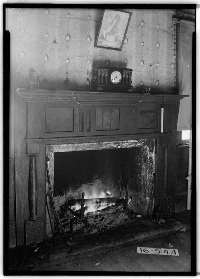
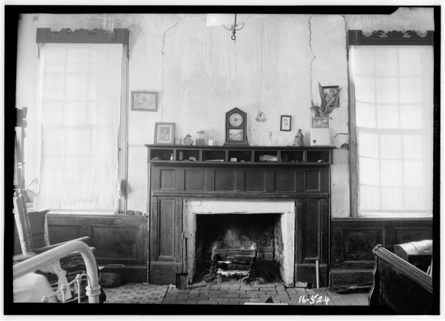
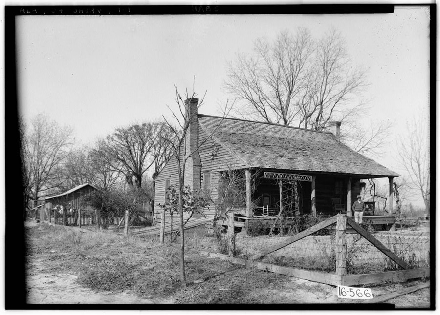
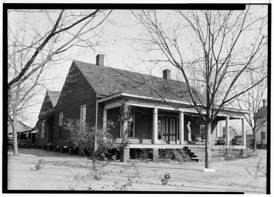
Every property in this county listed on the National Register of Historic Places, with the year it was listed and the federal nomination document.
| Photograph | Property | Type | Listed | Reference |
|---|---|---|---|---|
| Headland Commercial Historic District | district | 2024 | 100011166 | |
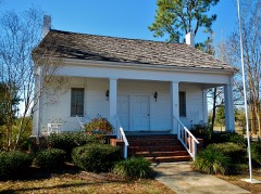 | Kennedy House | building | 1978 | 78000489 |
| Oates House | building | 1989 | 89000164 | |
| Seaboard Coast Line Railroad Depot | building | 1980 | 80000687 |
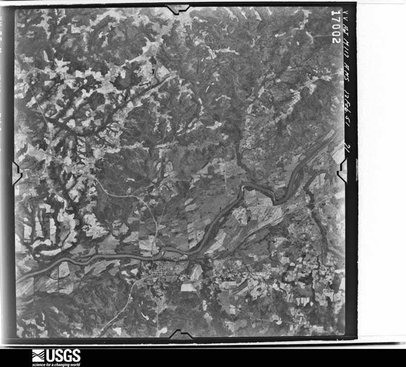
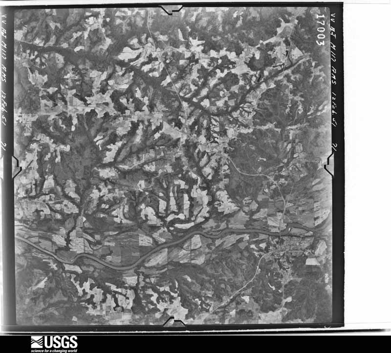
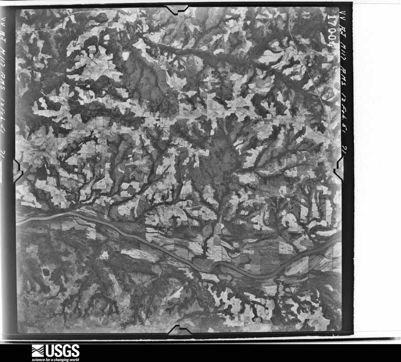
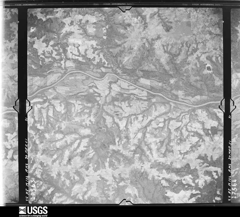
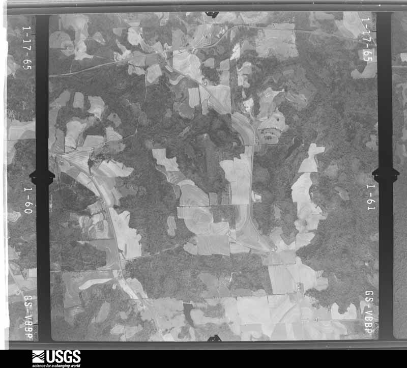
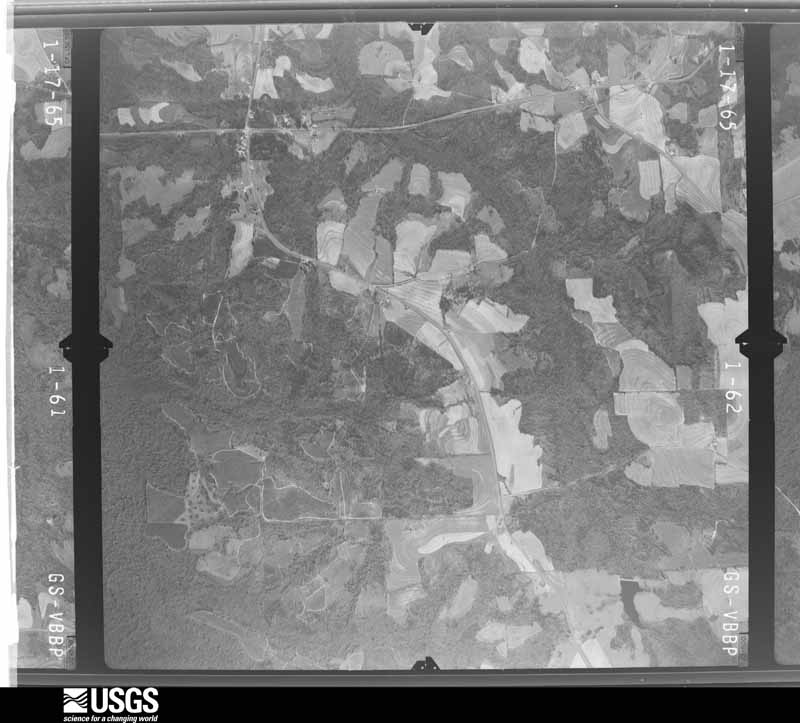
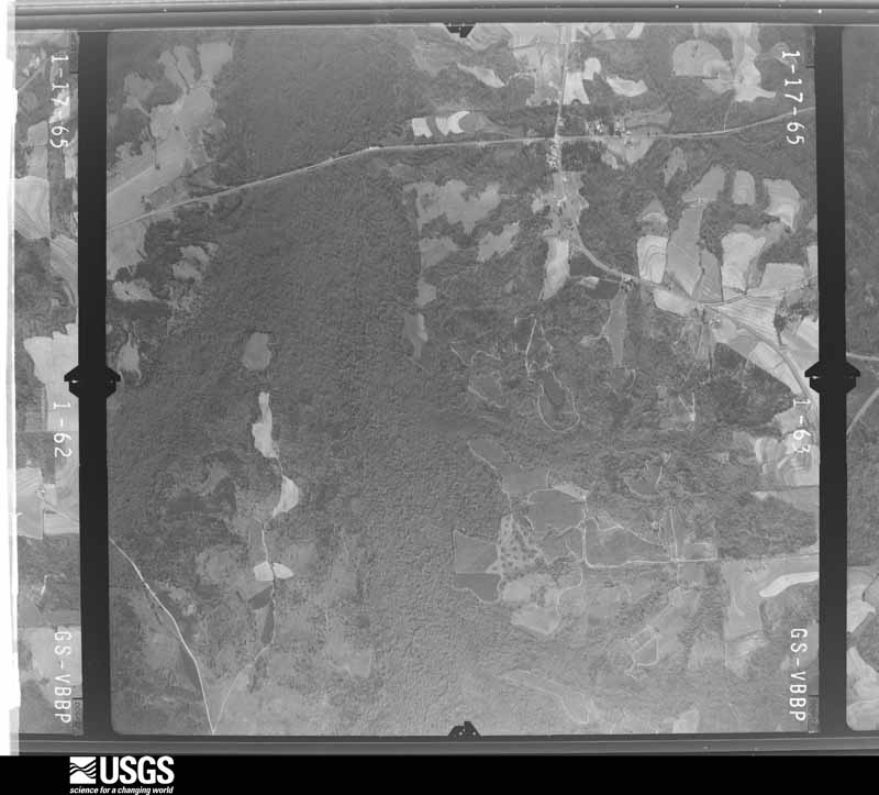
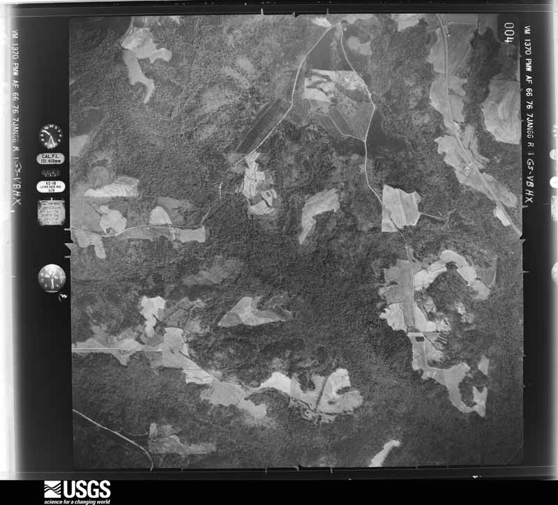
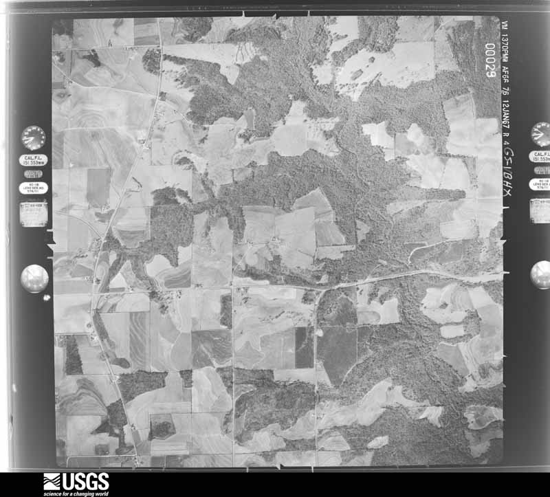
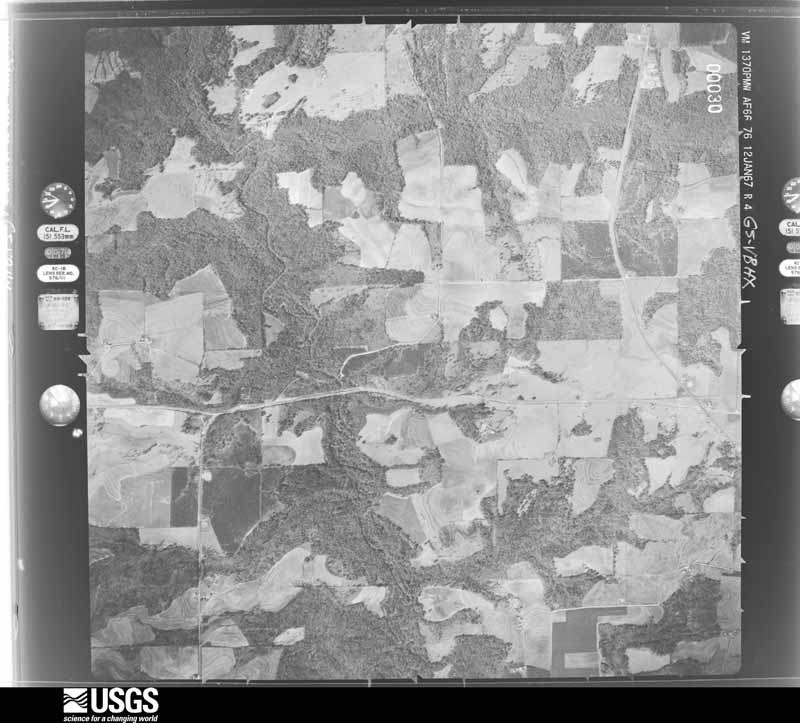
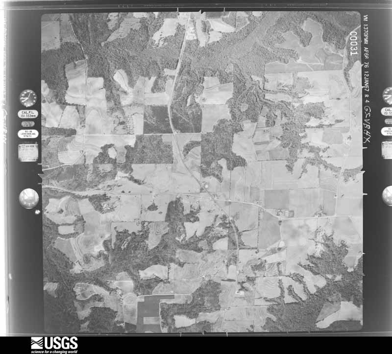
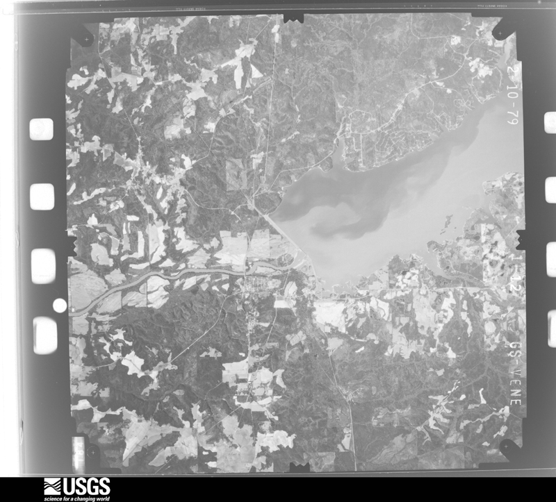
Flown by the U.S. Geological Survey between 1937 and 1989, the Aerial Photo Single Frames collection is the definitive mid-century view of the land: fields, roads and rivers as the camera saw them. The Survey holds 713 frames inside the rectangle that bounds this county; the 20 frames below were taken over the county itself, chosen across the decades of flights (at most four a year from that rectangle), so one flight cannot crowd out the rest. The full set is free to browse and download at EarthExplorer under the dataset Aerial Photo Single Frames.
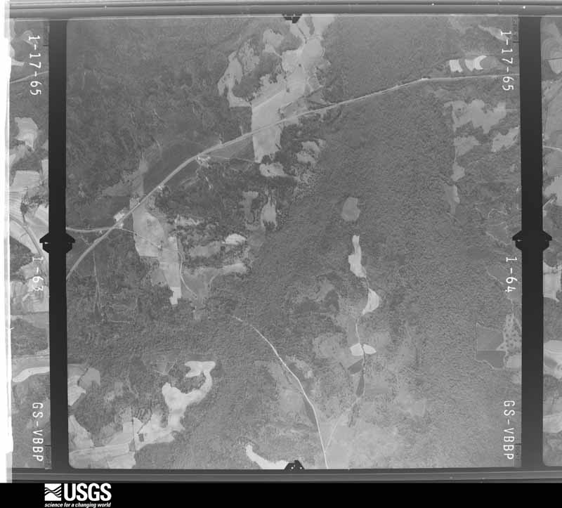
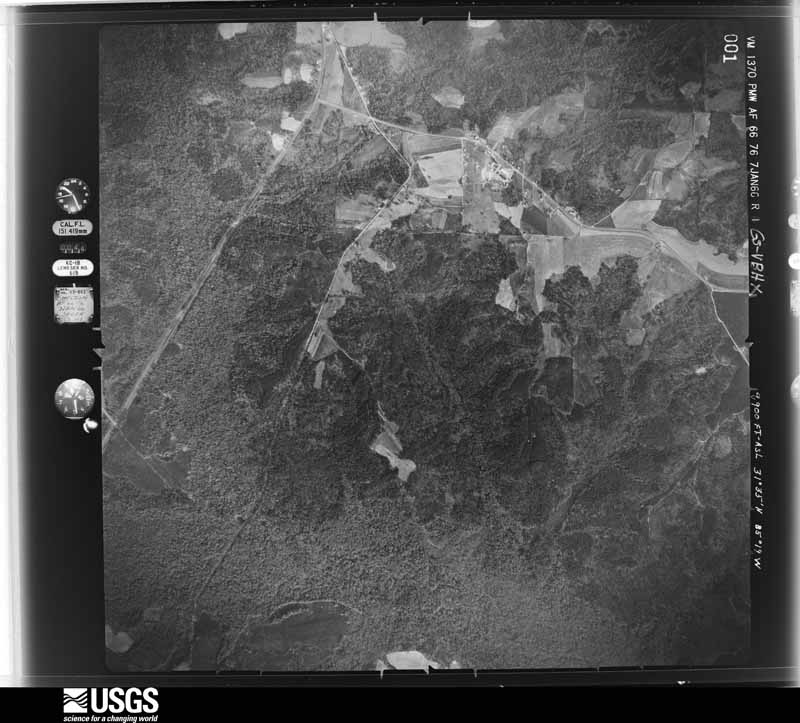
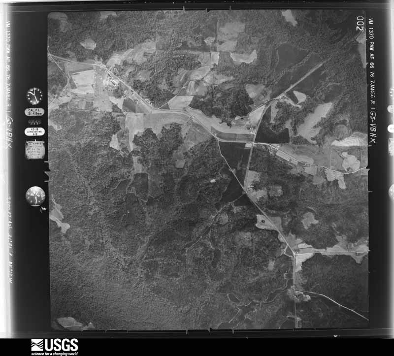
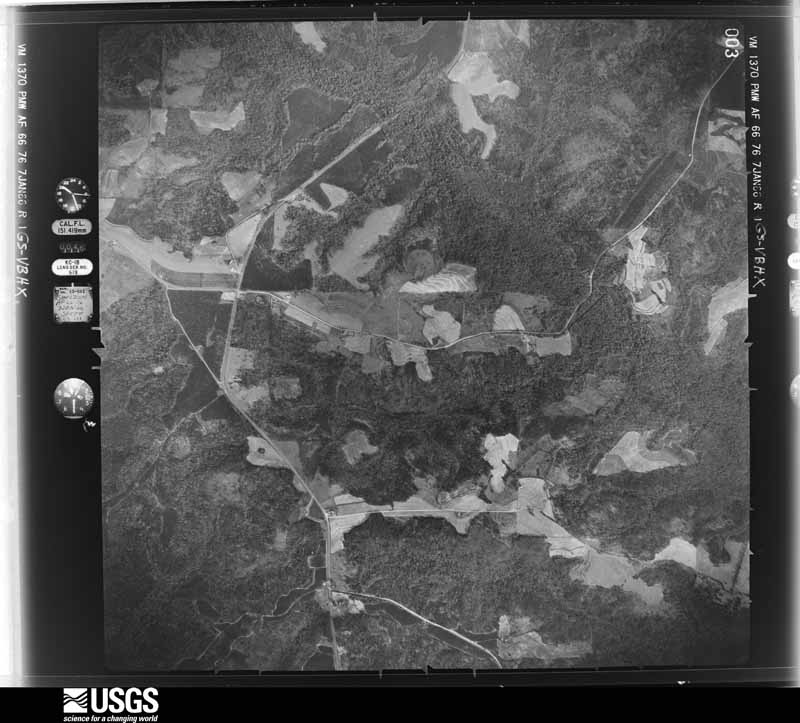
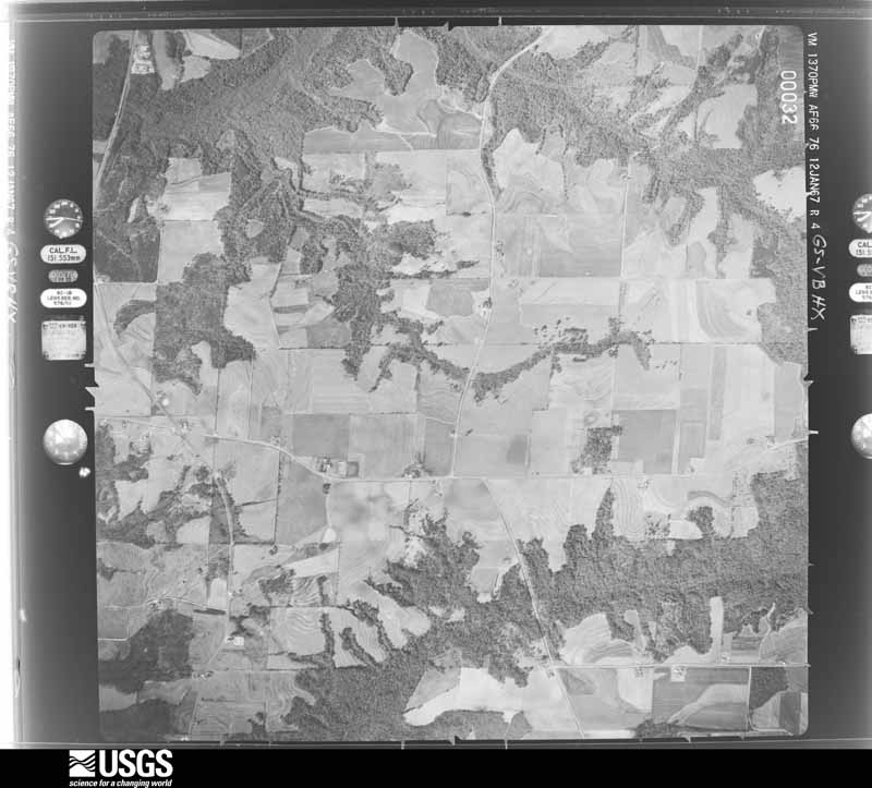
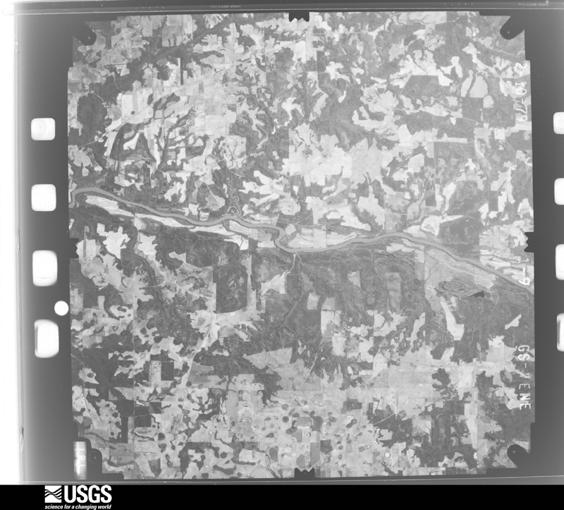
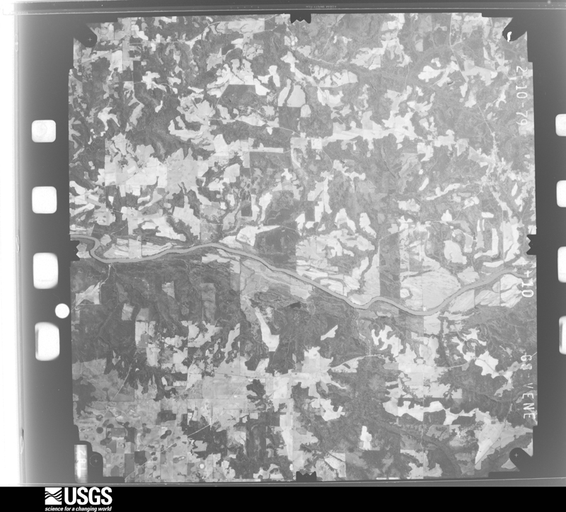
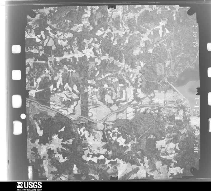
The thermometers that kept this county's weather, and the gages that measured the flow of its streams, as the federal records hold them. The extremes below are measured values from those records, not estimates.
Who lived here in 1950, one enumeration district at a time, as the Census Bureau described each district. Each row opens its official National Archives result, with Population Schedules and ED Maps available there.
Every wildfire the federal occurrence database records inside this county: 389 of them, burning about 2,530 acres. 12 started naturally and 30 were recorded as arson. Each settlement page carries the fires within five miles of it.
| Reported cause | Fires |
|---|---|
| Debris and open burning | 164 |
| Missing data/not specified/undetermined | 112 |
| Equipment and vehicle use | 35 |
| Arson/incendiarism | 30 |
| Recreation and ceremony | 22 |
| Natural | 12 |
| Smoking | 5 |
| Railroad operations and maintenance | 4 |
| Power generation/transmission/distribution | 3 |
| Misuse of fire by a minor | 2 |
The five largest, by the area the report gives. Two of them were set deliberately.
| Date | Cause | Size | Reported by | Name on the report |
|---|---|---|---|---|
| 12 March 2005 | Arson/incendiarism | 238 acres | Alabama Forestry Commission | not named |
| 23 April 2011 | Missing data/not specified/undetermined | 190 acres | Alabama Forestry Commission | 9421 CO RD 54 W, AL |
| 22 April 2017 | Debris and open burning | 152 acres | Alabama Forestry Commission | 20170422-9 |
| 10 March 2009 | Debris and open burning | 130 acres | Alabama Forestry Commission | CO RD 28, AL |
| 29 July 2000 | Natural | 72 acres | Alabama Forestry Commission | not named |
| 7 July 2012 | Natural | 60 acres | Alabama Forestry Commission | SER-20120707-001 |
| 14 March 2004 | Debris and open burning | 58 acres | Alabama Forestry Commission | not named |
| 22 March 2004 | Arson/incendiarism | 48 acres | Alabama Forestry Commission | not named |
Every settlement page carries the fires within five miles of it - see the settlement index below.
The NOAA Storm Events Database holds 327 reports for this county, causing 2 deaths, 38 injuries and about $28,623,650 in recorded property damage. Each settlement page carries the reports that name it.
| Kind of event | Reports |
|---|---|
| Thunderstorm Wind | 232 |
| Tornado | 40 |
| Hail | 33 |
| Flash Flood | 17 |
| Funnel Cloud | 2 |
| Lightning | 2 |
| Flood | 1 |
The most serious of them, by death, then injury, then recorded damage. The accounts are quoted exactly as the forecast office filed them.
| When | Event | Place named | Harm | What the report says |
|---|---|---|---|---|
| November 2002 | Tornado (F2) | Abbeville | 1 killed, 20 hurt, $3,000,000 | The supercell thunderstorm which spawned the tornado in Dale County, produced another tornado which touched down just west of U.S. Highway 431, and tore through the center of Abbeville. It destroyed several single-family homes and mobile homes, and severely damaged numerous other homes and businesses, including the high school. Uprooted trees and power lines littered city streets, with nearly 2,000 residents without electricity. Twenty people were injured, with a half of those hospitalized. A man died when the tornado destroyed his home on Rock Hill Circle. Henry County was declared a state disaster area. Reported by the Henry County EMA. |
| April 2020 | Tornado (EF2) | Tumbleton | 1 killed | Tornado touched down just west of County Road 15 in Henry County, Alabama. The tornado continued northeast through the town of Tumbleton, damaging several single family homes. The tornado destroyed a double wide mobile home northeast of Tumbleton, leading to one fatality. The peak damage was noted from Tumbleton|to the mobile home, with winds estimated at 125 mph. The tornado continued northeast, damaging another single family home and outbuildings. The tornado lifted near County Road 53. Special thanks to Henry County Emergency Management and the Henry County Sheriff's Office for providing damage information and aerial imagery. |
| December 2002 | Tornado (F1) | Headland | 8 hurt, $2,000,000 | A tornado touched down in Headland, north of County Road 99 and U.S.Highway 431. The tornado caused extensive roof damage to several homes, businesses, and a school. It damaged six planes and a hanger at the Headland Airport. The tornado raced east-northeast, and destroyed a few barns and damaged a few mobile homes in the Tumbleton/Camp Springs area. The worst damage occurred in Haleburg where several mobile homes and barns were destroyed, with damage to a local church. Eight persons were injured, with six of them hospitalized. The tornado crossed the Chattahoochee River into Georgia. Reported by the Henry County EMA. |
| March 2007 | Tornado (EF1) | Abbeville | 2 hurt, $11,000,000 | After the EF-1 tornado crossed into western Henry County from eastern Dale County, it traveled northeast causing sporadic tree damage along County Roads 7 and 40. It then tore through the Bethlehem community, and damaged 51 mobile homes and destroyed 28 others. Two persons were injured when the tornado damaged their mobile home. The tornado overturned a semi on State Road 10 before lifting. The tornado descended two miles southwest of the community of Otho along County Road 97. It destroyed 14 homes and damaged 27 others in Otho. Numerous trees and utility poles were also blown down there and in the Stonebridge subdivision. The tornado exited the northeast part of the county at Lake Eufaula. Henry County was declared a federal disaster area. |
| December 1973 | Tornado (F3) | not stated | 2 hurt, $2,500,000 | no account filed |
| January 1972 | Tornado (F3) | not stated | 2 hurt, $250,000 | no account filed |
| April 2021 | Tornado (EF1) | Tumbleton | 2 hurt, $100,000 | An EF1 tornado touched down near CR 120 in Henry County with max winds estimated at 95 mph. The tornado moved quickly eastward, causing extensive tree damage. Numerous snapped and uprooted trees were observed. A mobile home was flipped on CR 12 near CR 53. Two injuries were reported at this location. Other minor damage to roofs and damage to outbuildings was noted in this area. The tornado dissipated as it crossed CR 61. The rating was determined from the extensive tree damage, the damage to the mobile home, and other minor damage to homes. |
| March 2011 | Thunderstorm Wind | Edwin | 1 hurt, $35,000 | A mobile home was flipped over and destroyed. The occupant received a minor cut to the hand. The damage was surveyed and consistent with straight line winds of 70 to 75 mph. The monetary damage figure provided is a rough estimate. |
| December 1953 | Tornado (F2) | not stated | 1 hurt, $25,000 | no account filed |
| December 2000 | Tornado (F1) | Abbeville | $2,900,000 | The F2 tornado continued its intermittent track northeast from eastern Dale County into western Henry County, but had weakened to an F1 tornado. Just north of Murphy Station along Highway 27 and a quarter mile west of U.S. Highway 431, the tornado completely destroyed the Murphy Feed & Seed warehouse, numerous peanut trailers and two sheds. Before the tornado dissipated, it severely damaged the West Point Stevens Textile plant. Numerous vehicles were damaged. Henry County was declared a federal disaster area. Reported by the Henry County EMA. |
| November 1992 | Tornado (F1) | not stated | $2,500,000 | no account filed |
| April 2015 | Tornado (EF1) | Capps | $1,000,000 | A short EF1 tornado track was surveyed just southwest of Abbeville, AL with max winds estimated at 110 mph. Eight railroad cars were flipped off their tracks along Alabama Highway 173 just south of a pulpwood plant. Otherwise, damage was confined to trees on the remainder of the path. A media article reported that it would cost around $1 million to turn the railroad cars upright again. |
| April 2017 | Tornado (EF2) | Coates | $500,000 | The tornado touched down in extreme southeastern Barbour County in the White Oak community producing EF1 damage on White Oak Drive. The tornado then crossed Sandy Creek into Henry County's White Oak subdivision producing mostly EF1 damage across the entire width of the neighborhood between Sandy Creek and White Oak Creek. However, a double-wide manufactured home on Laurel Drive was shifted about 8 feet despite being strapped to the ground by 2 to 3 foot anchors which were completely pulled from the ground. This justified EF2 damage in this location with winds estimated at 115 mph. The tornado then crossed the Walter F. George Reservoir, also known as Lake Eufaula, into the state of Georgia with EF1 damage on the eastern shore of the lake along County Road 28. The tornado came ashore at the Quitman-Clay County line producing damage in both counties primarily in the form of uprooted trees. The trees damaged several homes. Debris from a lakeside porch was lofted and deposited on the opposite side of the home and strewn across an adjacent field. The tornado continued northeastward across rural Quitman County hitting the Self Family Farm on Self Road. The tornado did significant damage to the roof of a well constructed brick home, removing the majority of the roof. The walls of a brick outbuilding collapsed. There were also numerous trees snapped or uprooted adjacent to the home, two of which were debarked. This damage was consistent with EF2 winds of about 115 mph. Just northeast of the house, an irrigation pivot was toppled with the northern portion falling toward the southwest and the southern portion falling in the opposite direction. The tornado continued northeast across more rural areas causing EF1 damage to trees on County Road 82 before lifting shortly thereafter. |
| December 2015 | Flood | Coates | $301,000 | Significant river flooding along the Chattahoochee River and heavy rainfall in the county resulted in flood damages estimated at $301,028 in Henry county, mainly due to road damage. |
| June 2023 | Tornado (EF1) | Graball | $250,000 | This tornado touched down in a wooded area west of U.S. Highway 431 and uprooted some trees. It then demolished half of a large out building right along the highway removing the roof and collapsing the walls. An adjacent small office building had substantial roof damage. The tornado then crossed Highway 431 and snapped several hardwood trees. As the tornado approached Singletary Road, it destroyed some outbuildings and removed substantial roofing material from two adjacent homes. One of the homes also had some siding removed and the porch was damaged. Several trees were also uprooted in this area. The tornado crossed the other end of a curving Singletary Road, snapping and uprooting more trees. Near the intersection of Singletary Road and W. Washington St., the tornado toppled several concrete memorial monuments. After crossing Washington St. The tornado toppled trees on Marianna Drive and Alberta Drive. Finally, the tornado snapped or uprooted several trees in the vicinity of a cemetery on East Washington St. before lifting short of Eufaula Highway. Damage along the entire path was estimated to be consistent with EF-1 damage with maximum sustained winds around 100 mph. |
| April 2020 | Tornado (EF1) | Tumbleton | $250,000 | Tornado touched down along Camp Springs Road, near County Road 131. A single family home was damaged and an automotive shop was destroyed at County Road 121. The tornado continued northeast, causing scattered tree damage before lifting near County Road 53 after damaging an additional structure. This tornado was rated EF1 with max winds near 110 mph. |
| January 1997 | Tornado (F2) | Newville | $180,000 | no account filed |
| February 2011 | Tornado (EF0) | Wills Crossroads | $150,000 | Although much of the damage in Henry county was consistent with straight line winds associated with a line of thunderstorms, a small segment was determined to be associated with an EF0 tornado. This tornado began about one mile southwest of the intersection of Alabama State Highway 10 and County Road 57. The tornado continued intermittently for around 2 miles and ended to the north of Alabama State Highway 10 about 5 miles east of Abbeville. Damage with this tornado was limited primarily to numerous downed trees and roof damage to barns and outbuildings. This is consistent with DI 1 (Damage Indicator) and DOD 1 and 2 (Degree of Damage) on the EF (Enhanced Fujita) scale. The damage to personal property was estimated to be around $95,000 according to the Emergency Manager with total damage expected to exceed $150,000 including utility restoration. No injuries were reported. |
| November 2006 | Tornado (F1) | Newville | $150,000 | A tornado touched down just south of Newville and crossed U.S. Highway 431 where it heavily damaged a yeast facility. A nearby building materials warehouse and service station sustained some damage. The tornado then weakened but downed numerous trees along its path before it dissipated. |
| July 2005 | Thunderstorm Wind | Tumbleton | $150,000 | A half dozen trees were toppled. Three barns were damaged and one destroyed. A mobile home was damaged. Reported by the Henry County EMA. |
| March 2026 | Tornado (EF1) | Newville | $100,000 | An aerial survey indicated that a tornado touched down northwest of Newville, AL damaging the roof of a two-story business near the intersection of West Columbia Road and Reynolds Street. As the tornado crossed downtown Newville, it snapped and uprooted many trees and damaged the roofs of several businesses between the Seaboard Coastline Railroad tracks and Oak Lane including E Columbia Road. The tornado snapped trees on Wheddon Farm Road before lifting near U.S. 431. Maximum sustained winds were estimated to be 100 mph which is EF-1 strength. |
| April 2020 | Tornado (EF1) | Kirkland Crossroads | $100,000 | An EF1 tornado touched down in Ozark and tracked east into Henry county. Max winds were estimated at 105 mph. Most of the damage was snapped trees and some roof damage in Ozark. |
| January 2017 | Tornado (EF1) | Grandberry Crossroads | $100,000 | An EF1 tornado tracked across southern Henry County, snapping and uprooting numerous trees, destroying a mobile home, and causing minor roof damage to a few structures. Max winds were estimated at 110 mph. Damage cost was estimated. |
| January 2006 | Tornado (F0) | Tumbleton | $100,000 | A severe thunderstorm spawned a weak tornado which damaged a church parsonage, several barns and farm equipment. It blew down a road sign and a few trees and power lines near the intersection of County Roads 45 and 13. Also, five homes were damaged. Reported by the Henry County EMA. |
| October 2008 | Tornado (EF0) | Capps | $75,000 | The supercell responsible for the Coffee and Dale county tornadoes spawned its last tornado near the Dale-Henry County line north of State Road 27. It damaged a home. The carport attached to the home was destroyed, with debris scattered over several acres. The tornado lifted a few minutes later. The tornado was rated an EF-0 with winds estimated at 85 mph. |
| September 1998 | Tornado (F0) | Newville | $75,000 | An F0 tornado damaged a barn and residence off CR 173 in Newville. |
| March 2026 | Tornado (EF1) | Murphy Station | $50,000 | An EF-1 tornado touched down east of Poor Creek and tracked east, south of CR 25 before lifting at CR 27. Along the way, the tornado snapped and uprooted a large swath of trees, overturned an outbuilding, significantly damaged the roof of one mobile home and shifted another off its base. Maximum winds were estimated to be 100 mph based on the tree damage. |
| January 2023 | Tornado (EF1) | Edwin | $50,000 | A tornado touched down south of highway 108 between Indian Creek and County Road 68 in northwest Henry County. The first reports of damage occurred along County Road 68 where it uprooted numerous trees and snapped others at the trunk. The tornado then moved to the east-northeast and went across County Road 75. Here, many trees were uprooted or snapped at various levels. One home lost roof shingles and a farm outbuilding had damage to the entire structure. The storm then continued along to the east-northeast with trees being damaged; however, the next report of noticeable tree damage occurred along highway 31 where large branches, around 1 to 3 inches in diameter, were broken. The storm eventually moved towards Highway 431. Several barns had roof uplift or substantial structure damage west of Highway 431. The tornado then moved across Highway 431 towards the Henry County / Barbour County line and damaged multiple trees, which is the last point in Henry County for tornado damage. Additional thunderstorm wind damage was reported at the Walter F George Reservoir near Marilyn Dr and Sharon Dr. Max winds were estimated around 90 mph. |
| August 2023 | Thunderstorm Wind | Murphy Station | $50,000 | Trees were blown down onto residences on County Road 107 east near Abbeville. |
| December 2023 | Tornado (EF0) | Edwin | $50,000 | This is a continuation of the EF0 tornado from Barbour County. The tornado began in rural southwestern Barbour County just west of Lury Walker Road, with a single tree uprooted along the road bank and a few branches off the trees. The entire tornado track mainly consisted of sporadic very minor tree damage, yet the path remained discernible and consistent with the associated Tornado Debris Signature (TDS) noted on doppler radar. The tornado crossed Alabama Highway 10 and entered Henry County just north of and parallel to County Rd (CR) 54, before crossing CR 54 just before CR 216. The tornado reached its maximum width of approximately 200 yards wide as well as its maximum intensity, with relatively more widespread tree damage, as well as superficial damage to several manufactured homes. The tornado continued northeastward through forested land before crossing CR 75 and CR 235. It continued across the East Fork of the Choctawhatchee River before crossing CR 29. As the tornado crossed CR 235, it struck a chicken farm, where it caused primarily narrow and minor damage to 6 chicken barns. The tornado continued to the northeast and dissipated before crossing CR 54 yet another time. Max winds were estimated around 75 mph. Damage was estimated. |
| February 2016 | Tornado (EF1) | Headland | $50,000 | This tornado was the fifth tornado to be spawned by the same parent thunderstorm in southeast Alabama, this time in Henry county. The tornado initially developed near CR-83 and the city limits of Headland, where large trees were uprooted. The tornado crossed a wooded area near a creek and then ended near Knowles Road and CR-16 where a house had roof damage, an RV was overturned, a shed was destroyed, and some large trees were uprooted. This tornado was rated EF1 with max winds estimated near 100 mph. Damage cost was estimated. |
| August 2008 | Lightning | Otho | $50,000 | Lightning struck two house trailers. Fire from the trailers spread to a nearby vehicle and grass field. |
| November 2006 | Thunderstorm Wind | Headland | $50,000 | Straight-line winds downed numerous trees, limbs and power lines throughout the city. Phone lines were out as well. Equipment and building damage was reported at the city's recreation park. Power outages affected much of the city. |
| July 2000 | Thunderstorm Wind | Abbeville | $50,000 | Numerous downed trees and power lines on County Roads 107, 65, and 95 just east and south of Abbeville. Two barns destroyed just south of Abbeville. Power outages in Abbeville. Reported by the Henry County EMA. |
| March 2007 | Thunderstorm Wind | Abbeville | $25,000 | Several downed trees and power lines as well as some small buildings damaged in Abbeville. |
| April 1974 | Tornado (F2) | not stated | $25,000 | no account filed |
| March 1954 | Tornado (F2) | not stated | $25,000 | no account filed |
| November 2015 | Thunderstorm Wind | Headland | $20,000 | Roofing material was blown off Headland High School and into portions of Headland Elementary School. The roofing material caused additional damage on the ground, including damaged power lines, a destroyed breezeway, and broken light poles. The material all blew off to the northeast suggesting straight line winds around 70 mph. No other significant damage was noted around the schools. Damage cost was estimated. |
| July 2011 | Lightning | Abbeville | $20,000 | Lightning struck a barn and a travel trailer on State Highway 95 South at 700 Columbia Road. The trailer was destroyed. The monetary damage figure provided is a rough estimate. |
| March 2026 | Thunderstorm Wind | Abbeville | $10,000 | A tree planted in 1960 fell on a home in the Abbeville area. |
| January 2023 | Thunderstorm Wind | Lawrenceville | $10,000 | Numerous trees and power lines were blown down across the northern portions of Henry County with one home with structural damage. |
| April 2021 | Thunderstorm Wind | Haleburg | $10,000 | A mobile home was damaged near Haleburg. |
| April 2015 | Thunderstorm Wind | Headland | $10,000 | Multiple trees were blown down in the Headland area. A wooden swing set was blown into a fence. Damage was estimated. |
| April 2011 | Thunderstorm Wind | Abbeville | $10,000 | Numerous trees were blown down and blocking roads throughout the county with power outages also reported. The monetary damage figure provided is a rough estimate. |
| February 2011 | Thunderstorm Wind | Abbeville | $10,000 | Several trees were blown down including one tree on a vehicle. The monetary damage figure provided is a rough estimate. |
| April 2000 | Thunderstorm Wind | Newville | $10,000 | The Henry County EMA reported vinyl siding torn off a house. |
| June 1998 | Thunderstorm Wind | Countywide | $10,000 | Estimated 50 to 60 mph straight-line winds downed numerous trees and power lines. Numerous power outages reported. One business' glass window was blown out in Abbeville. |
| April 2011 | Thunderstorm Wind | Danzey | $6,000 | Trees and power lines were blown down on County Road 99 between County Road 66 and County Road 257. The monetary damage figure provided is a rough estimate. |
| June 2011 | Thunderstorm Wind | Haleburg | $6,000 | Multiple trees and power lines were blown down in the vicinity of Haleburg. The monetary damage figure provided is a rough estimate. |
| June 2023 | Thunderstorm Wind | Coates | $5,000 | Multiple trees and power lines were blown down in Henry county. |
| June 2023 | Thunderstorm Wind | Abbeville | $5,000 | Multiple trees and power lines were blown down. |
| June 2023 | Thunderstorm Wind | Newville | $5,000 | High winds caused numerous power outages due to tree limbs and other debris blowing onto the power lines. |
| August 2021 | Thunderstorm Wind | Newville | $5,000 | Tree damage and damage to a barn was reported near County Road 56 and County Road 99. |
| April 2020 | Tornado (EF1) | Danzey | $5,000 | Damage from this tornado was primarily confined to snapped trees consistent with an EF1 tornado with max winds estimated at 95 mph. Roof damage to a double wide manufactured home occurred on Field Road. |
| July 2018 | Thunderstorm Wind | Abbeville | $5,000 | Numerous trees and power lines were blown down in the Abbeville area. |
| July 2017 | Thunderstorm Wind | Abbeville | $5,000 | A tree was blown down onto a residence with power lines down. |
| June 2014 | Thunderstorm Wind | Abbeville | $5,000 | Numerous trees and power lines were blown down across the county. |
| February 2013 | Thunderstorm Wind | Abbeville | $5,000 | Trees and power lines were blown down across the county. Monetary damage was estimated. |
| January 2013 | Thunderstorm Wind | Abbeville | $5,000 | Trees were blown down across Henry county. Monetary damage was estimated. |
| December 2009 | Thunderstorm Wind | Murphy Station | $5,000 | A few trees fell on State Highway 27. One vehicle was struck by a tree, however the driver was not injured. |
The Survey's mineral resources record lists 178 workings inside this county. 5 still produce and 173 are closed or unrecorded. Each settlement page carries the workings within five miles of it.
| Commodity | Workings |
|---|---|
| Aluminum | 160 |
| Iron | 11 |
| Water, Free | 5 |
| Clay | 4 |
| Fire Clay (Refractory) | 2 |
| Limestone, General | 2 |
The least common of them first, because a county's hundredth gravel pit says nothing its first ten did not.
| Where | Site | Commodity | Status | Recorded |
|---|---|---|---|---|
| Abbeville Limestone Quarry | Limestone, General | Past Producer | ||
| Harbison-Walker Henry County Mines | Fire Clay (Refractory) | Producer | ||
| Henry County Pit | Limestone, General | Producer | ||
| W M Bledsoe Henry County Mines | Fire Clay (Refractory) | Producer | ||
| Farmer 2 | Aluminum, Clay, Water, Free | Past Producer | Surface | |
| Hen 7 Clay Prospect | Clay | Prospect | ||
| Henry County Mines | Clay | Producer | ||
| Mathison Mine | Clay | Producer | ||
| Deloach | Aluminum, Water, Free | Past Producer | Surface | |
| Lucas 3 | Aluminum, Water, Free | Past Producer | Surface | |
| Mathison 1 | Aluminum, Water, Free | Past Producer | Surface | |
| Mathison 2 | Aluminum, Water, Free | Past Producer | 1942 | |
| Unnamed | Iron | Unknown | ||
| Unnamed | Iron | Unknown | ||
| Unnamed | Iron | Unknown | ||
| Unnamed | Iron | Unknown | ||
| Unnamed | Iron | Unknown | ||
| Unnamed | Iron | Unknown | ||
| Unnamed | Iron | Unknown | ||
| Unnamed | Iron | Unknown | ||
| Unnamed Deposit | Iron | Occurrence | ||
| Unnamed Deposit | Iron | Occurrence | ||
| Unnamed Deposit | Iron | Occurrence | ||
| A Williams Deposit | Aluminum | Occurrence | ||
| B E Kelly Deposit A | Aluminum | Occurrence | ||
| B E Kelly Deposit B | Aluminum | Occurrence | ||
| B E Kelly Deposit C | Aluminum | Occurrence | ||
| Bauxite Mine | Aluminum | Past Producer | ||
| Bauxite Mine | Aluminum | Past Producer | ||
| Bauxite Mine | Aluminum | Past Producer | ||
| Bauxite Mine | Aluminum | Past Producer | ||
| Bauxite Mine | Aluminum | Past Producer | ||
| Bauxite Mine | Aluminum | Past Producer | ||
| Bauxite Mine | Aluminum | Past Producer | ||
| Bauxite Mine | Aluminum | Past Producer | ||
| Bauxite Mine | Aluminum | Past Producer | ||
| Bauxite Mine | Aluminum | Past Producer | ||
| Bauxite Mine | Aluminum | Past Producer | ||
| Bauxite Mines | Aluminum | Past Producer | ||
| Bauxite Mines | Aluminum | Past Producer | ||
| Bauxite Mines | Aluminum | Past Producer | ||
| Bauxite Mines | Aluminum | Past Producer | ||
| Bell Brothers Deposit | Aluminum | Occurrence | ||
| Bell Brothers Deposit B | Aluminum | Occurrence | ||
| C A Wood Deposit | Aluminum | Occurrence | ||
| C R Lynn Deposit | Aluminum | Occurrence | ||
| C. Scott Mine | Aluminum | Past Producer | ||
| C. Scott Mines | Aluminum | Past Producer | ||
| Clark Mine | Aluminum | Unknown | ||
| Davis Mine | Aluminum | Past Producer | ||
| Davis Mines | Aluminum | Past Producer | ||
| Davis Mines | Aluminum | Past Producer | ||
| Davis Mines | Aluminum | Past Producer | ||
| Davis No. 11 Prospect | Aluminum | Prospect | ||
| Davis No. 6 Mine | Aluminum | Past Producer | ||
| Davis No. 7 Mine | Aluminum | Past Producer | ||
| Davis No. 8 Prospect | Aluminum | Prospect | ||
| Davis Nos. 2 & 4 Mines | Aluminum | Past Producer | ||
| Davis Nos. 9 & 10 Mines | Aluminum | Past Producer | ||
| E F Espy Deposit | Aluminum | Occurrence | ||
| Earnest Richardson Deposit | Aluminum | Occurrence | ||
| Espy Prospect | Aluminum | Occurrence | ||
| Eufaula Minerals Henry County Mines | Aluminum | Past Producer | ||
| Farmer Mine | Aluminum | Past Producer | ||
| Francis Deloch Deposit | Aluminum | Occurrence | ||
| Francis Deloch Deposit B | Aluminum | Occurrence | ||
| G M Vickers Deposit | Aluminum | Occurrence | ||
| G W Cunningham Deposit A | Aluminum | Occurrence | ||
| G W Cunningham Deposit B | Aluminum | Occurrence | ||
| Griffin Mine | Aluminum | Past Producer | ||
| H P Calhoun Deposit A | Aluminum | Occurrence | ||
| H P Calhoun Deposit B | Aluminum | Occurrence | ||
| Henry County Gibbsite Sand | Aluminum | Prospect | 1958 | |
| Hertzog Prospect | Aluminum | Occurrence | ||
| J Coates Deposit | Aluminum | Occurrence | ||
| J E Holmes Deposit | Aluminum | Occurrence | ||
| J F Belcher Deposit | Aluminum | Occurrence | ||
| J S Vickers Deposit | Aluminum | Occurrence | ||
| J T Searcy Deposit | Aluminum | Occurrence | ||
| J W Coates Deposit B | Aluminum | Occurrence | ||
| L C Vinson Deposit | Aluminum | Occurrence | ||
| Lipscomb Mines | Aluminum | Past Producer | ||
| Lucas No. 1 Mine | Aluminum | Past Producer | ||
| Lucas No. 4 Mine | Aluminum | Past Producer | ||
| Lucas No. 5 Mine | Aluminum | Past Producer | ||
| Lucas No. 6 Mine | Aluminum | Past Producer | ||
| Lucas No. 7 Prospect | Aluminum | Prospect | ||
| Lucas Nos. 2 & 3 Mines | Aluminum | Past Producer | ||
| M M Powell Deposit | Aluminum | Occurrence | ||
| Mathison Mine | Aluminum | Past Producer | ||
| Mathison No. 1 Mine | Aluminum | Past Producer | ||
| Pits Ac No. 1 and Tr No. 9 | Aluminum | Past Producer | ||
| Republic No. 1 Mine | Aluminum | Past Producer | ||
| S Griffin Deposit | Aluminum | Occurrence | ||
| Singleton Pit No. 1 | Aluminum | Past Producer | ||
| Stanley Pit | Aluminum | Past Producer | ||
| Unnamed Deposit | Aluminum | Occurrence | ||
| Unnamed Deposit | Aluminum | Occurrence | ||
| Unnamed Deposit | Aluminum | Occurrence | ||
| Unnamed Deposit | Aluminum | Occurrence | ||
| Unnamed Deposit | Aluminum | Occurrence | ||
| Unnamed Deposit | Aluminum | Occurrence | ||
| Unnamed Deposit | Aluminum | Occurrence | ||
| Unnamed Deposit | Aluminum | Occurrence | ||
| Unnamed Deposit | Aluminum | Occurrence | ||
| Unnamed Deposit | Aluminum | Occurrence | ||
| Unnamed Deposit | Aluminum | Occurrence | ||
| Unnamed Deposit | Aluminum | Occurrence | ||
| Unnamed Deposit | Aluminum | Occurrence | ||
| Unnamed Deposit | Aluminum | Occurrence | ||
| Unnamed Deposit | Aluminum | Occurrence | ||
| Unnamed Deposit | Aluminum | Occurrence | ||
| Unnamed Deposit | Aluminum | Occurrence | ||
| Unnamed Deposit | Aluminum | Occurrence | ||
| Unnamed Deposit | Aluminum | Occurrence | ||
| Unnamed Deposit | Aluminum | Occurrence | ||
| Unnamed Deposit | Aluminum | Occurrence | ||
| Unnamed Deposit | Aluminum | Occurrence | ||
| Unnamed Deposit | Aluminum | Occurrence | ||
| Unnamed Deposit | Aluminum | Occurrence | ||
| Unnamed Deposit | Aluminum | Occurrence | ||
| Unnamed Deposit | Aluminum | Occurrence | ||
| Unnamed Deposit | Aluminum | Occurrence | ||
| Unnamed Deposit | Aluminum | Occurrence | ||
| Unnamed Deposit | Aluminum | Occurrence | ||
| Unnamed Deposit | Aluminum | Occurrence | ||
| Unnamed Deposit | Aluminum | Occurrence | ||
| Unnamed Deposit | Aluminum | Occurrence | ||
| Unnamed Deposit | Aluminum | Occurrence | ||
| Unnamed Deposit | Aluminum | Occurrence | ||
| Unnamed Deposit | Aluminum | Occurrence | ||
| Unnamed Deposit | Aluminum | Occurrence | ||
| Unnamed Deposit | Aluminum | Occurrence | ||
| Unnamed Deposit | Aluminum | Occurrence | ||
| Unnamed Deposit | Aluminum | Occurrence | ||
| Unnamed Deposit | Aluminum | Occurrence | ||
| Unnamed Deposit | Aluminum | Occurrence | ||
| Unnamed Deposit | Aluminum | Occurrence | ||
| Unnamed Deposit | Aluminum | Occurrence | ||
| Unnamed Deposit | Aluminum | Occurrence | ||
| Unnamed Deposit | Aluminum | Occurrence | ||
| Unnamed Deposit | Aluminum | Occurrence | ||
| Unnamed Deposit | Aluminum | Occurrence | ||
| Unnamed Deposit | Aluminum | Occurrence | ||
| Unnamed Deposit | Aluminum | Occurrence | ||
| Unnamed Deposit | Aluminum | Occurrence | ||
| Unnamed Deposit | Aluminum | Occurrence | ||
| Unnamed Deposit | Aluminum | Occurrence | ||
| Unnamed Deposit | Aluminum | Occurrence | ||
| Unnamed Deposit | Aluminum | Occurrence | ||
| Unnamed Deposit | Aluminum | Occurrence | ||
| Unnamed Deposit | Aluminum | Occurrence | ||
| Unnamed Deposit | Aluminum | Occurrence | ||
| Unnamed Deposit | Aluminum | Occurrence | ||
| Unnamed Deposit | Aluminum | Occurrence | ||
| Unnamed Deposit | Aluminum | Occurrence | ||
| Unnamed Deposit | Aluminum | Occurrence | ||
| Unnamed Deposit | Aluminum | Occurrence | ||
| Unnamed Deposit | Aluminum | Occurrence | ||
| Unnamed Deposit | Aluminum | Occurrence | ||
| Unnamed Deposit | Aluminum | Occurrence | ||
| Unnamed Deposit | Aluminum | Occurrence | ||
| Unnamed Deposit | Aluminum | Occurrence | ||
| Unnamed Deposit | Aluminum | Occurrence | ||
| Unnamed Deposit | Aluminum | Occurrence | ||
| Unnamed Deposit | Aluminum | Occurrence | ||
| Unnamed Deposit | Aluminum | Occurrence | ||
| Unnamed Deposit | Aluminum | Occurrence | ||
| Unnamed Deposit | Aluminum | Occurrence | ||
| Unnamed Deposit | Aluminum | Occurrence | ||
| Unnamed Deposit | Aluminum | Occurrence | ||
| Unnamed Deposit | Aluminum | Occurrence | ||
| Unnamed Deposit | Aluminum | Occurrence | ||
| Unnamed Mine | Aluminum | Occurrence | ||
| W D Lucas Property | Aluminum | Occurrence | ||
| W D Lucas Prospect | Aluminum | Occurrence | ||
| W E Hudspeth Deposit | Aluminum | Occurrence | ||
| Will Bell Deposit | Aluminum | Occurrence |
Named settlements recorded in the Geographic Names Information System, each with the topographic sheets covering it. Villages, hamlets and abandoned places alike. Each is shown with the nearest named watercourse or landform and the survey quadrangle it falls on. The 2 places that were also surveyed for fire insurance come first, with the number of atlases and photographs held for them.
Abbeville census division · 36310 · On Town Creek · Abbeville West quadrangle
9 sheets, 1953 to 1997
Fire insurance: 4 atlases
Headland-Newville census division · 36345 · Headland quadrangle
7 sheets, 1953 to 1981
Fire insurance: 4 atlases
Haleburg census division · 36373 · On Geneva Branch · Columbia NE quadrangle
7 sheets, 1953 to 1981
Headland-Newville census division · 36345 · On Pond Branch · Echo quadrangle
8 sheets, 1953 to 1981
Shorterville census division · 36310 · On Polk Spring Branch · Fort Gaines NW quadrangle
8 sheets, 1953 to 1981
Headland-Newville census division · 36345 · On Buck Branch · Newville quadrangle
8 sheets, 1953 to 1981
Headland-Newville census division · 36345 · On Grandberry Branch · Sigma quadrangle
7 sheets, 1953 to 1981
Haleburg census division · 36319 · On Harp Branch · Haleburg quadrangle
8 sheets, 1953 to 1981
Shorterville census division · 36373 · On Fleming Branch · Haleburg quadrangle
8 sheets, 1953 to 1981
Haleburg census division · 36373 · On Barnett Branch · Fort Gaines quadrangle
8 sheets, 1953 to 1981
Haleburg census division · 36345 · On Culpepper Branch · Sigma quadrangle
7 sheets, 1953 to 1981
Headland-Newville census division · 36353 · On Camp Branch · Echo quadrangle
8 sheets, 1953 to 1981
Headland-Newville census division · 36353 · On White Branch · Newville quadrangle
8 sheets, 1953 to 1981
Headland-Newville census division · 36353 · On Little Creek · Newville quadrangle
8 sheets, 1953 to 1981
Shorterville census division · 36310 · On Otho Branch · Fort Gaines NW quadrangle
8 sheets, 1953 to 1981
Shorterville census division · 36310 · Fort Gaines NW quadrangle
8 sheets, 1953 to 1981
Shorterville census division · 36310 · On Barnes Mill Creek · Fort Gaines NW quadrangle
8 sheets, 1953 to 1981
Shorterville census division · 36310 · On Barnes Mill Creek · Fort Gaines NW quadrangle
8 sheets, 1953 to 1981
Headland-Newville census division · 36345 · Headland quadrangle
7 sheets, 1953 to 1981
Shorterville census division · 36310 · On Davis Branch · Abbeville East quadrangle
8 sheets, 1953 to 1981
9 topographic sheets and 4 fire insurance atlases, 1907 to 1943
7 topographic sheets and 4 fire insurance atlases, 1916 to 1945
The complete index, with nothing left out. Each of these is a separate record with its own page: a federal survey report, or the case file that argued a property on to the National Register. Both are public domain and reproduced word for word.