 Block
From the record
3 National Register listings published here.
Sources: the National Register database, National Park Service
51 topographic sheets and 14 fire insurance atlases across 2 places.
3 National Register listings published here.
Sources: the National Register database, National Park Service
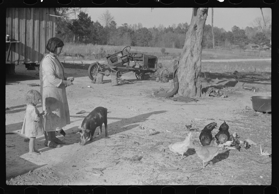
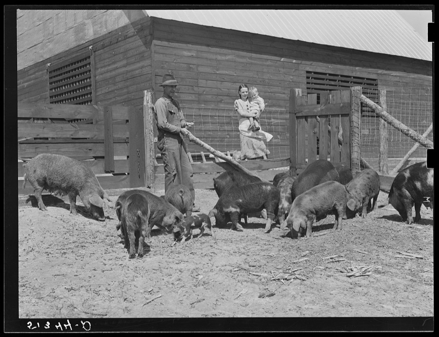
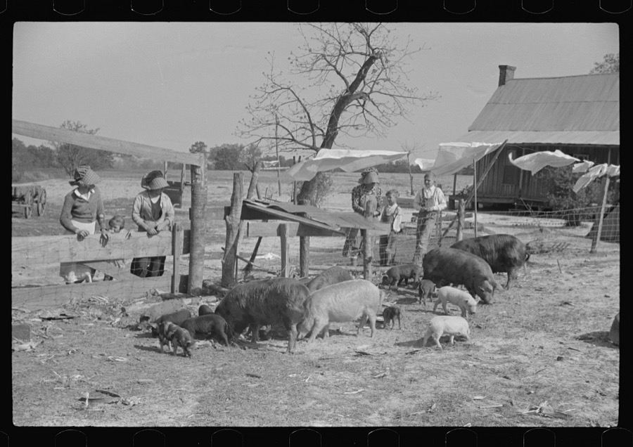
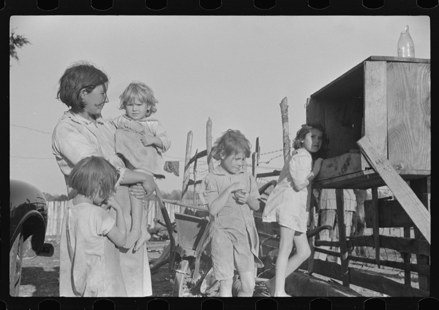
Taken for the Office of War Information and the Farm Security Administration, who photographed the country between 1935 and 1944. Works of United States government photographers, with no known restriction on use. Each opens its catalogue record.
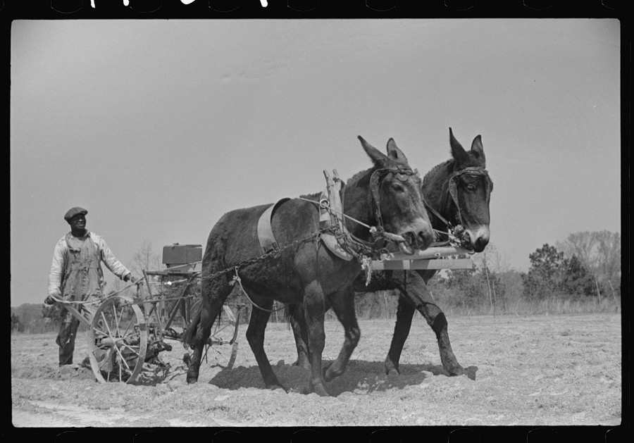
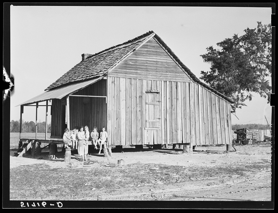
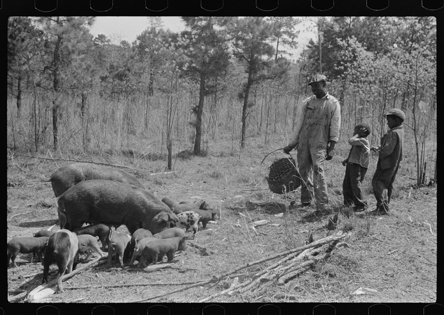
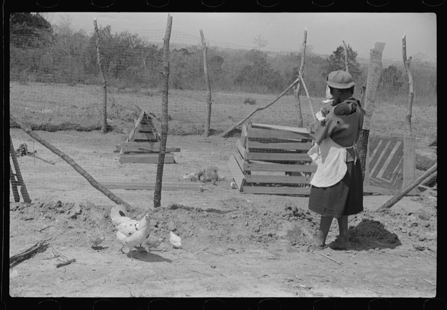
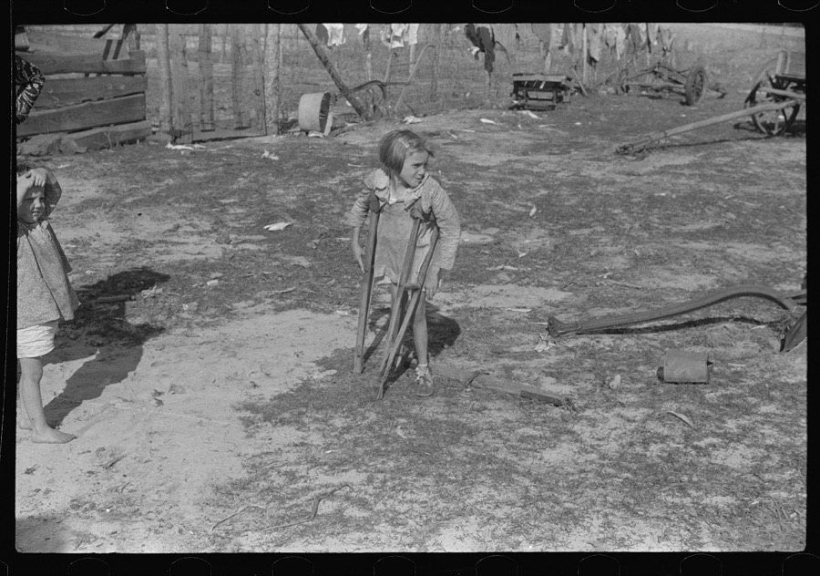
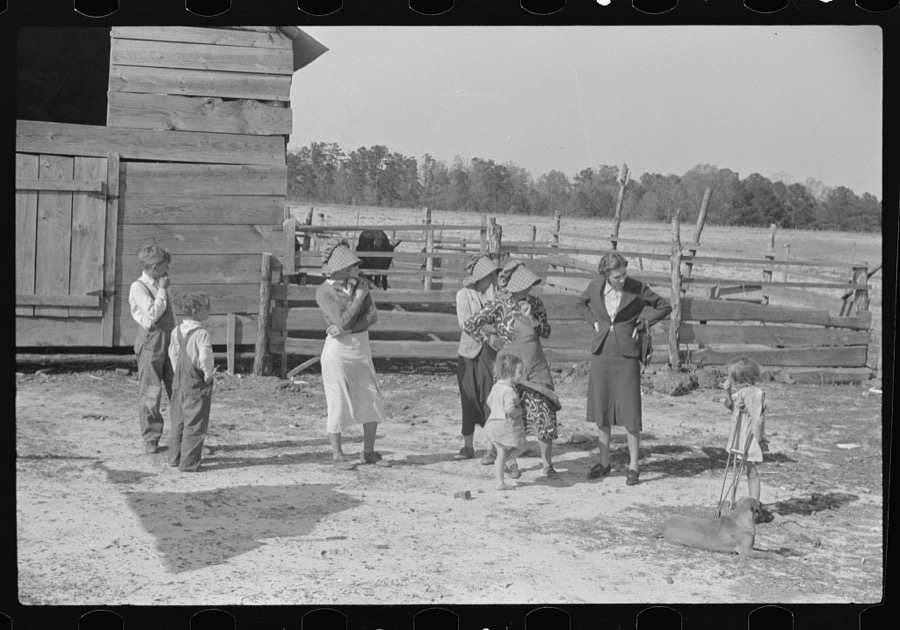
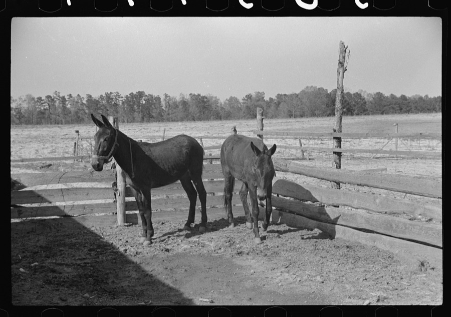
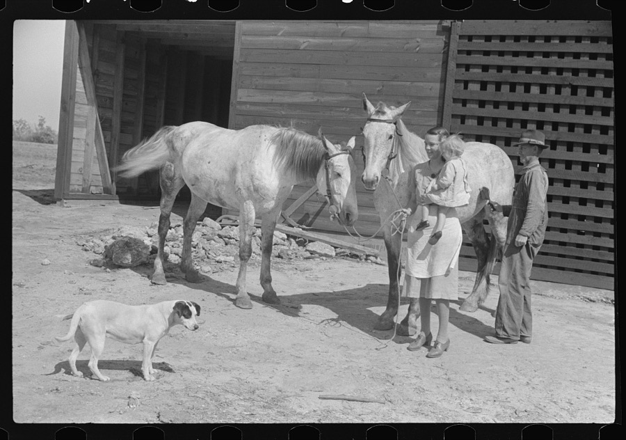
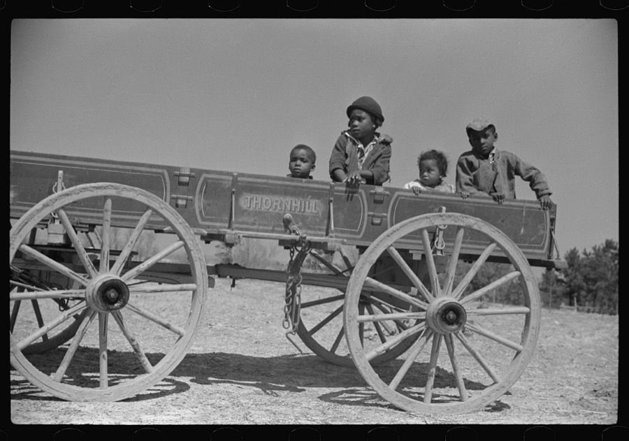
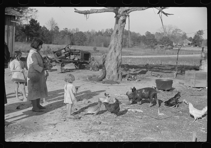
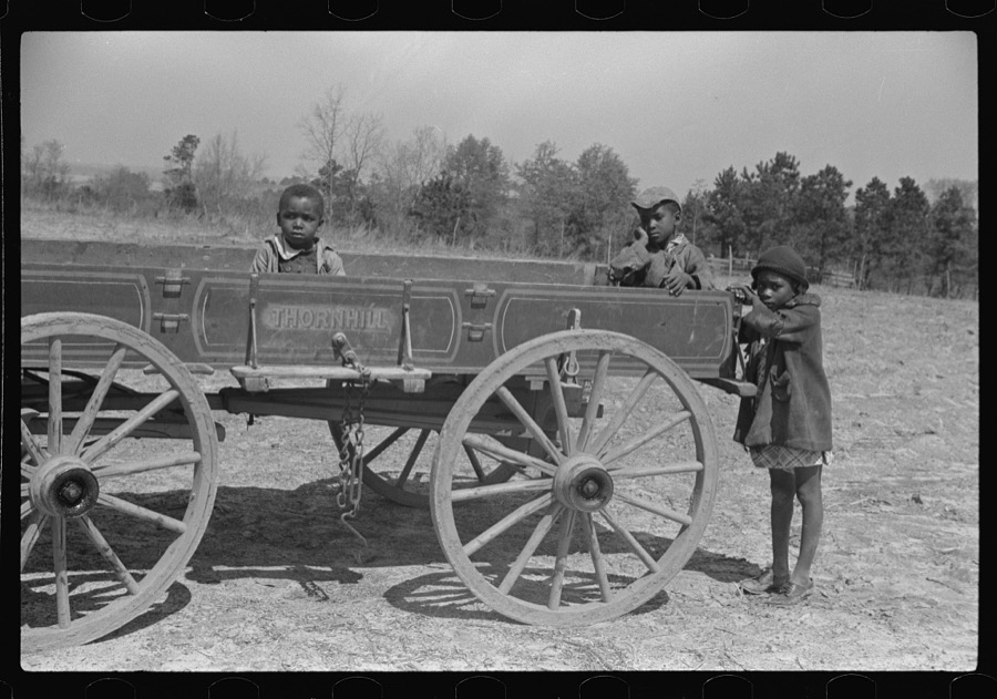
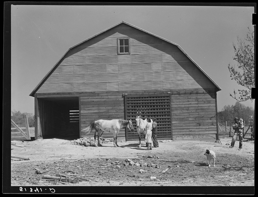
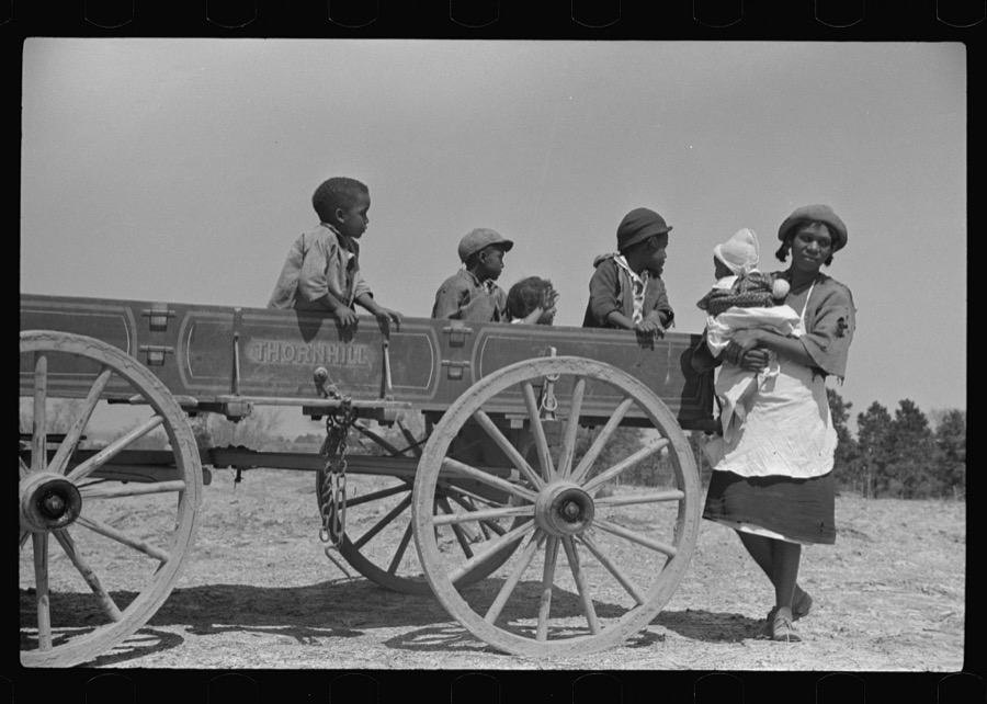
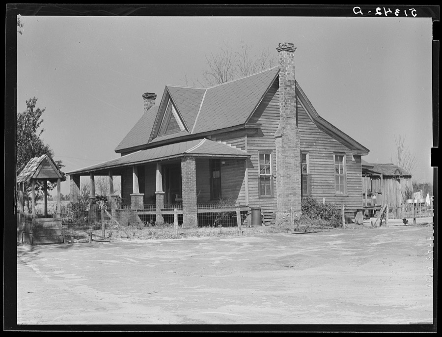
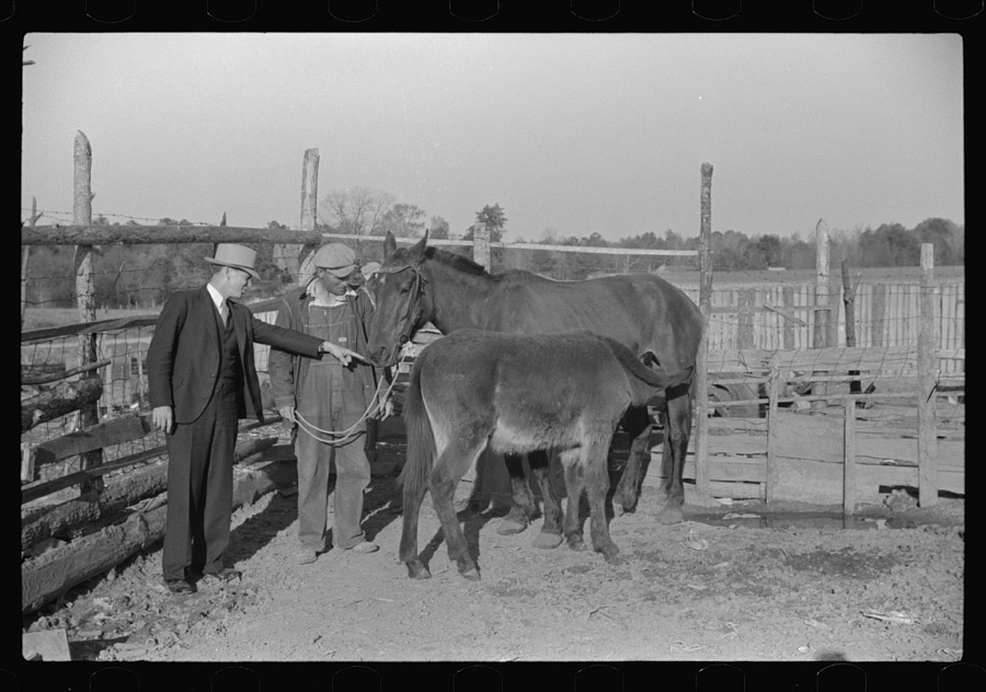
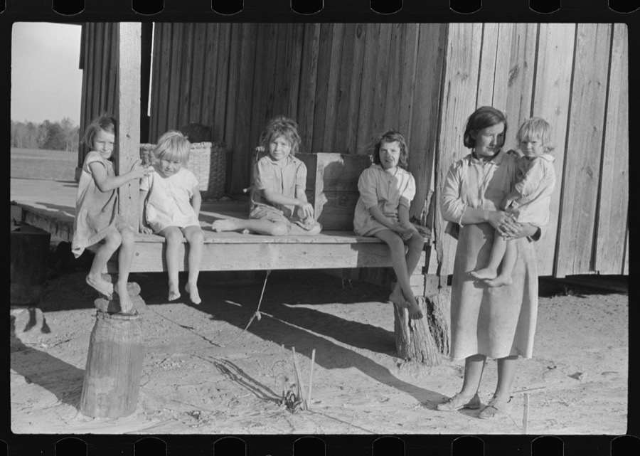
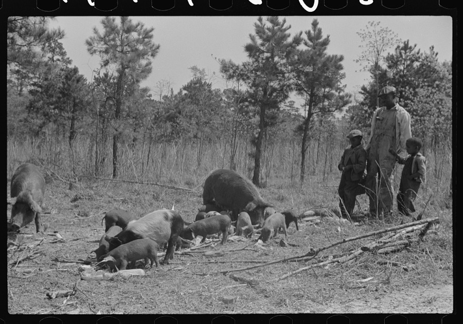
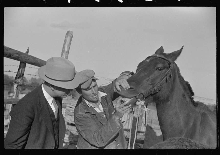
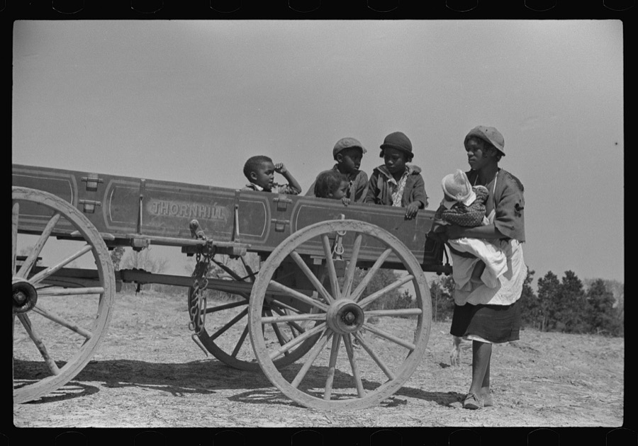
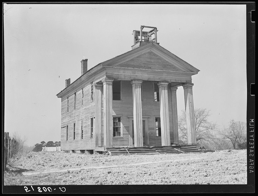
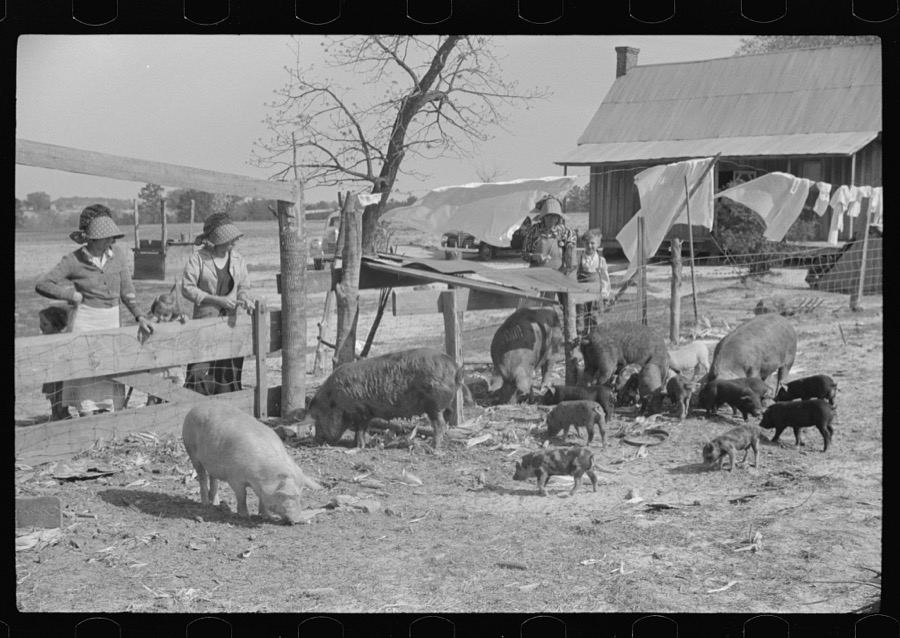
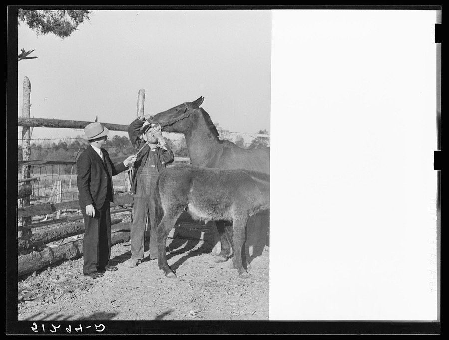
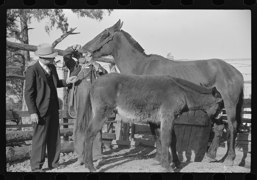
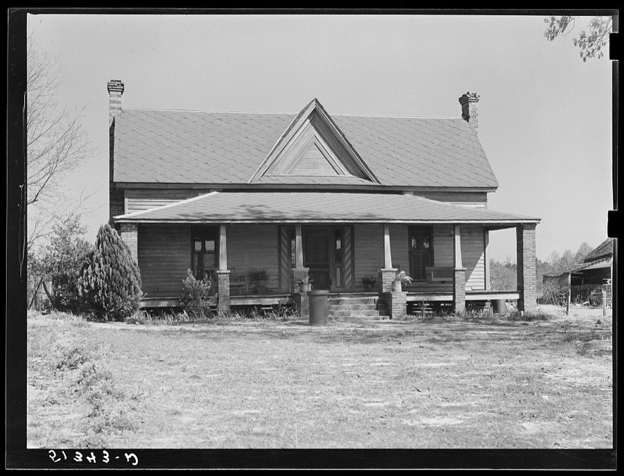
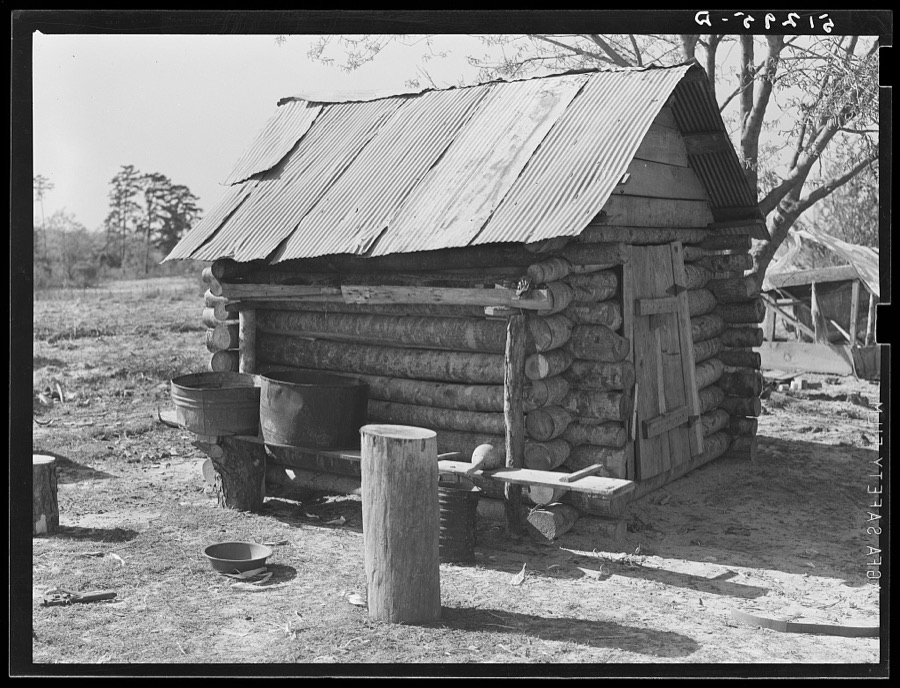
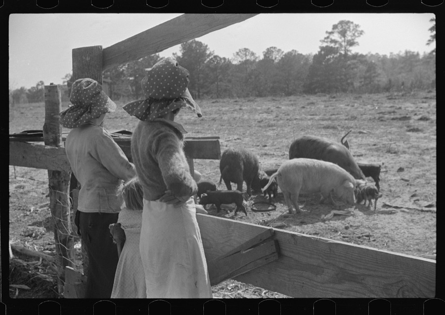
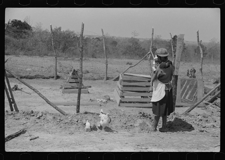
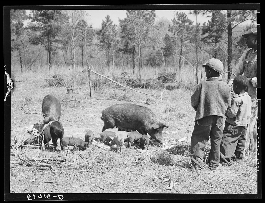
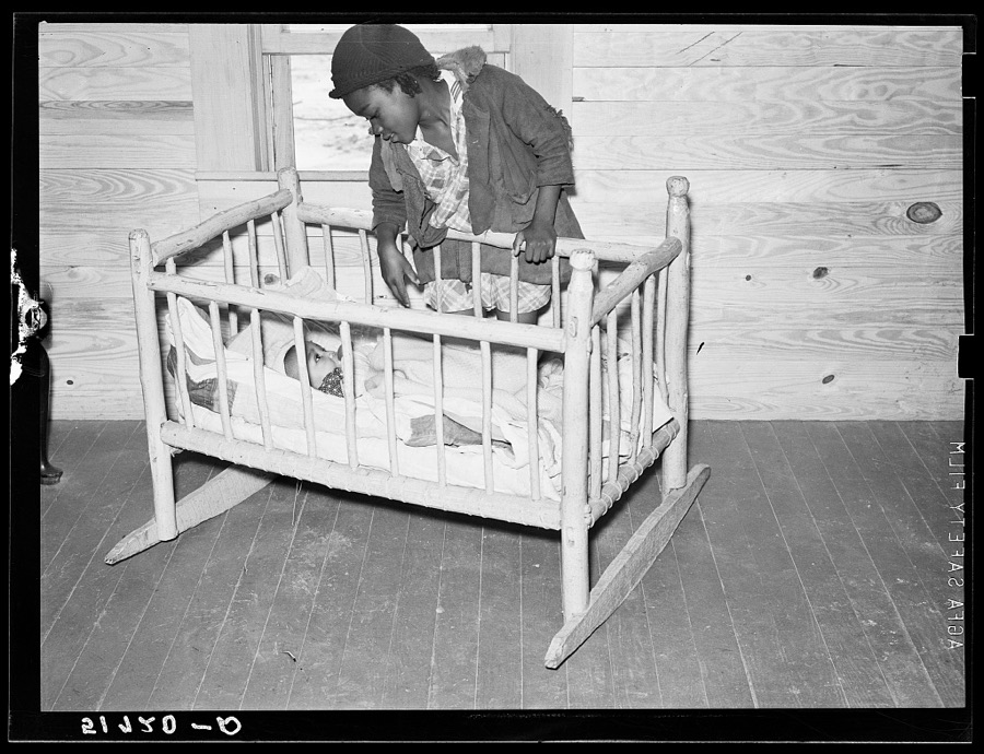
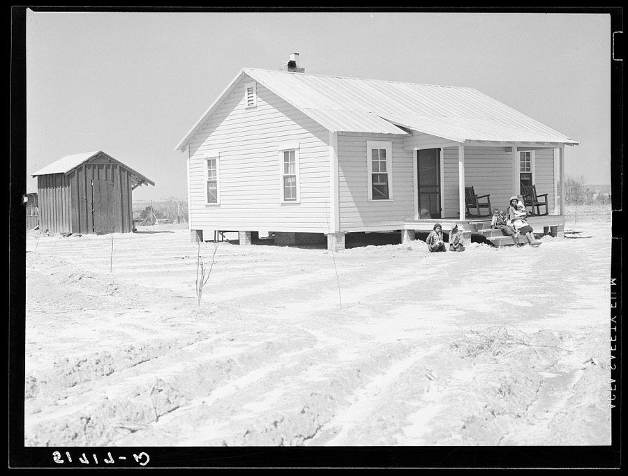
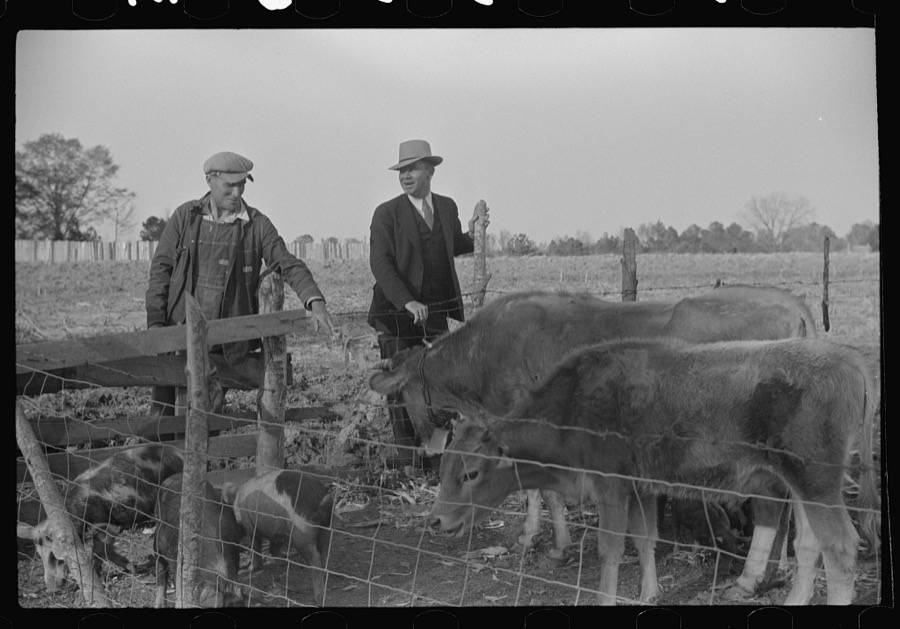
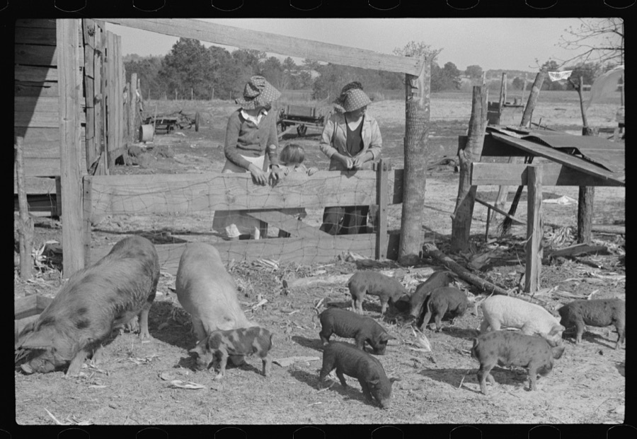
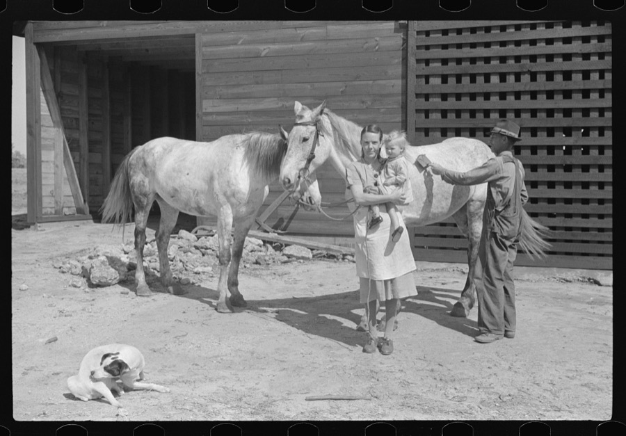
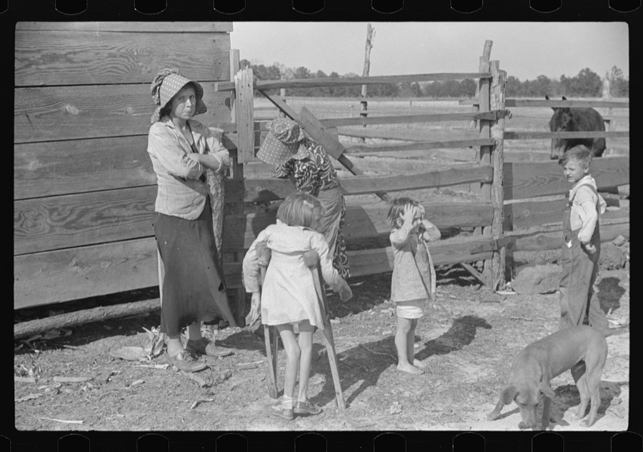
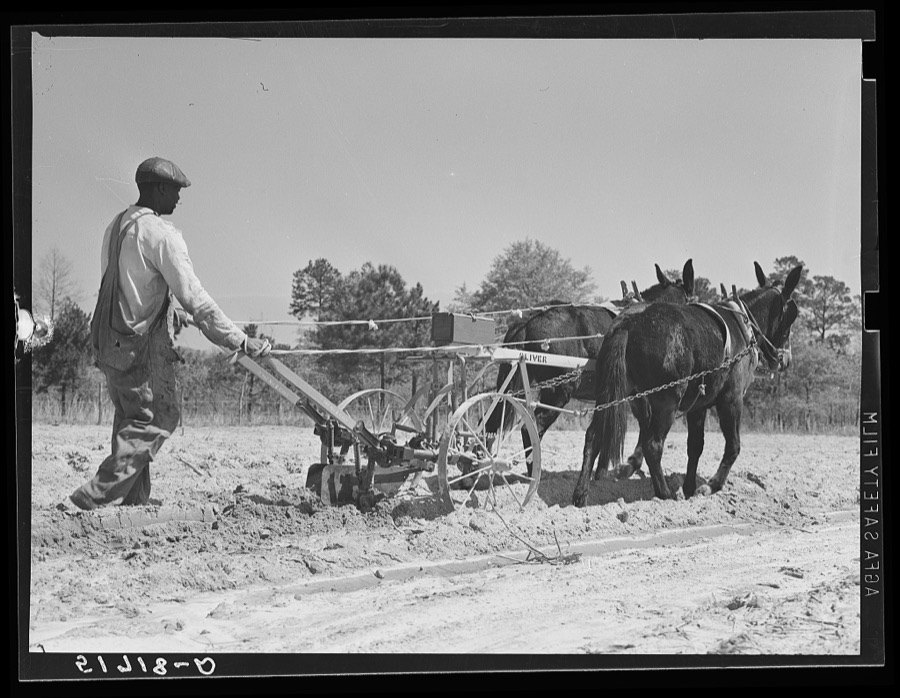
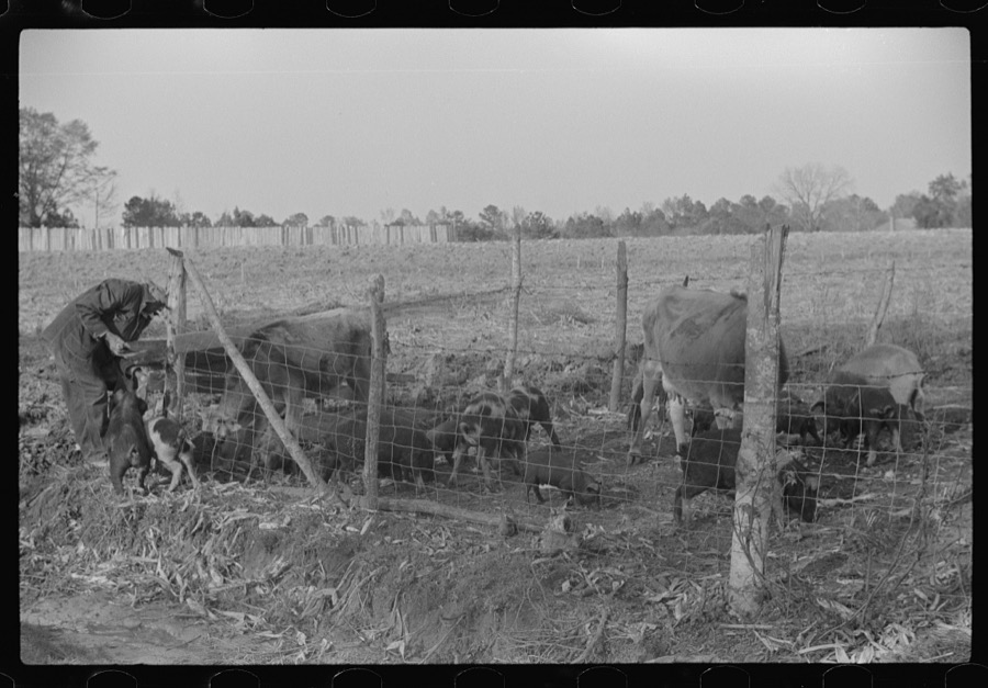
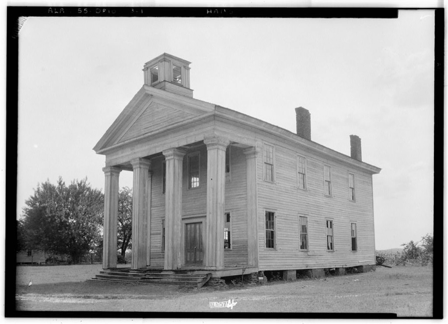
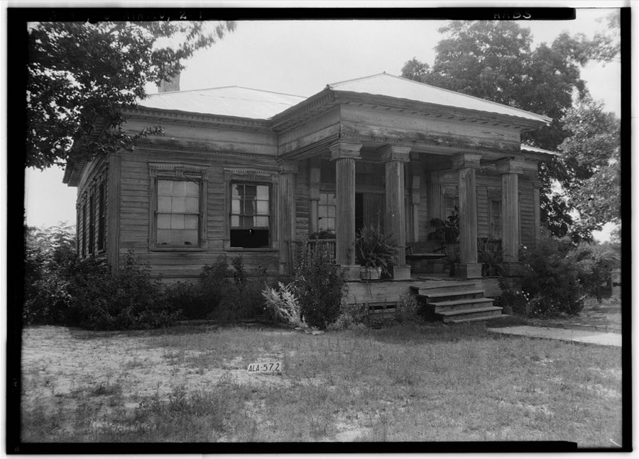
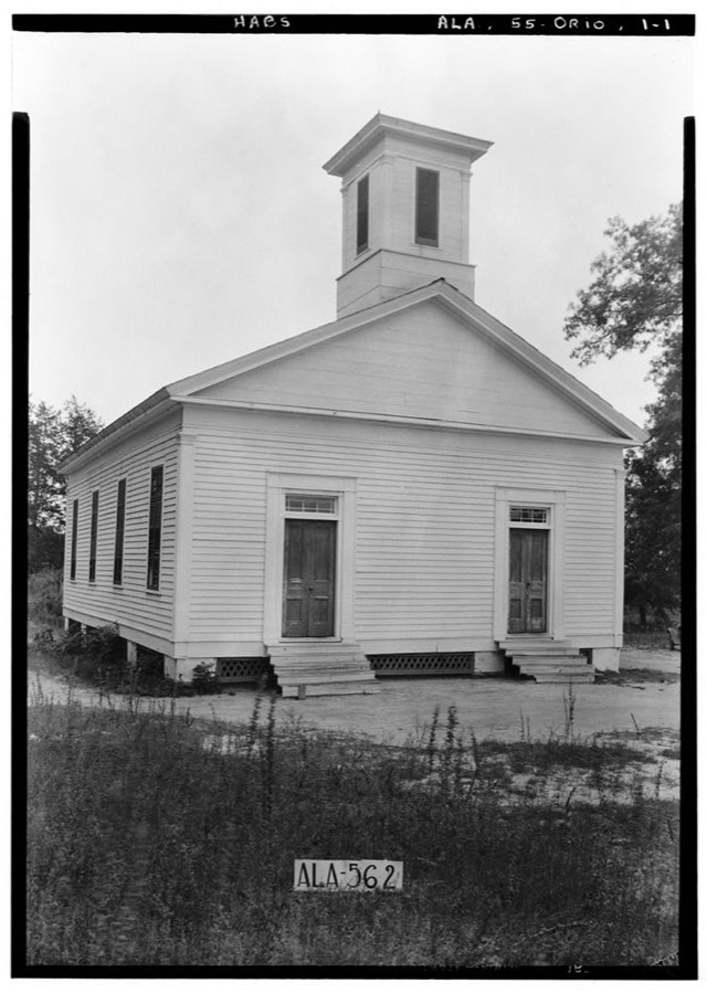
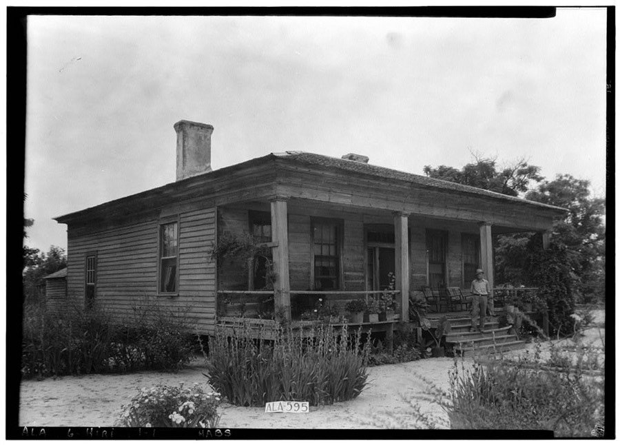
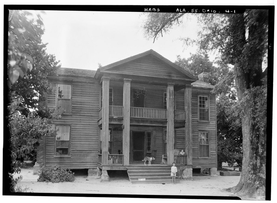
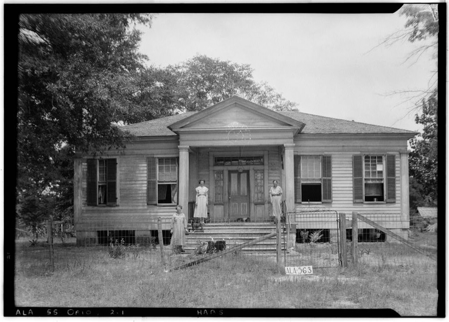
Every property in this county listed on the National Register of Historic Places, with the year it was listed and the federal nomination document.
| Photograph | Property | Type | Listed | Reference |
|---|---|---|---|---|
 | College Street Historic District | building | 1976 | 76000352 |
| Troy High School | building | 1984 | 84000721 | |
| Troy Masonic Temple | building | 2024 | 100011023 |
Selected from the Digital Public Library of America's 1 image records catalogued for this county. Every one shown here carries a public-domain status or a licence that permits reuse on a site that carries advertising; non-commercial, share-alike and restricted images are excluded. The selection is spread across the county's towns (at most eight per town), so no single institution's bulk upload crowds out the rest. Each opens the holding library's record, and the complete set at the Digital Public Library of America is one click away.
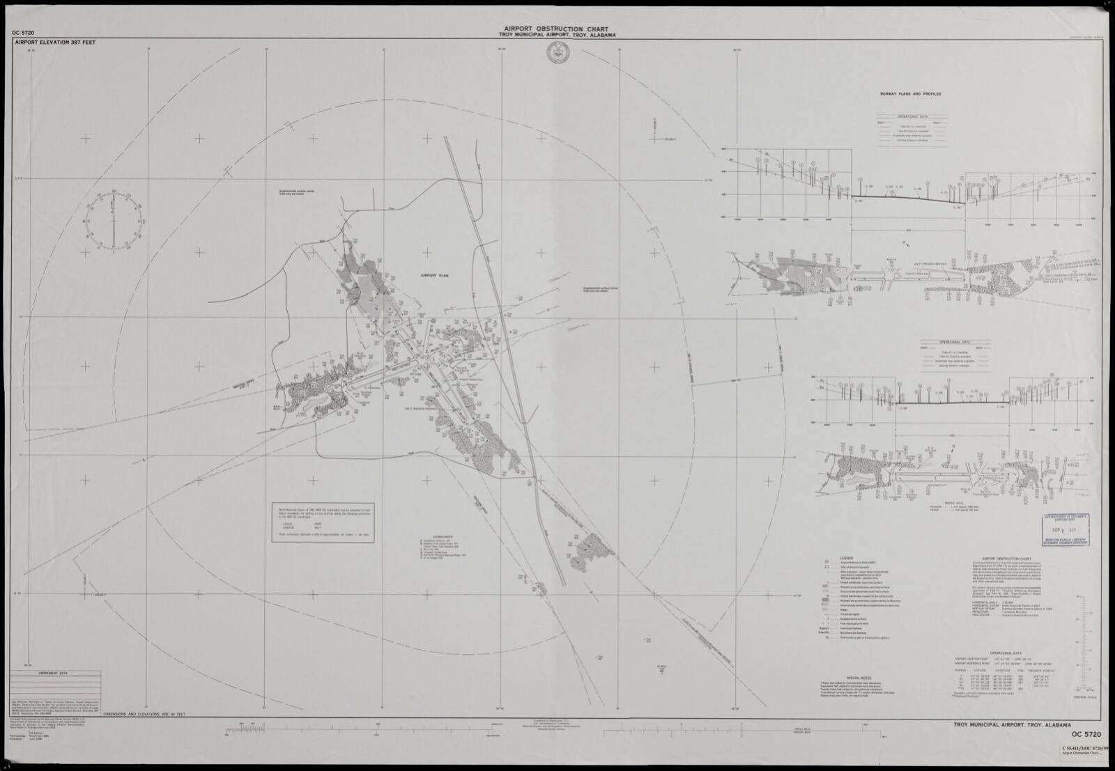
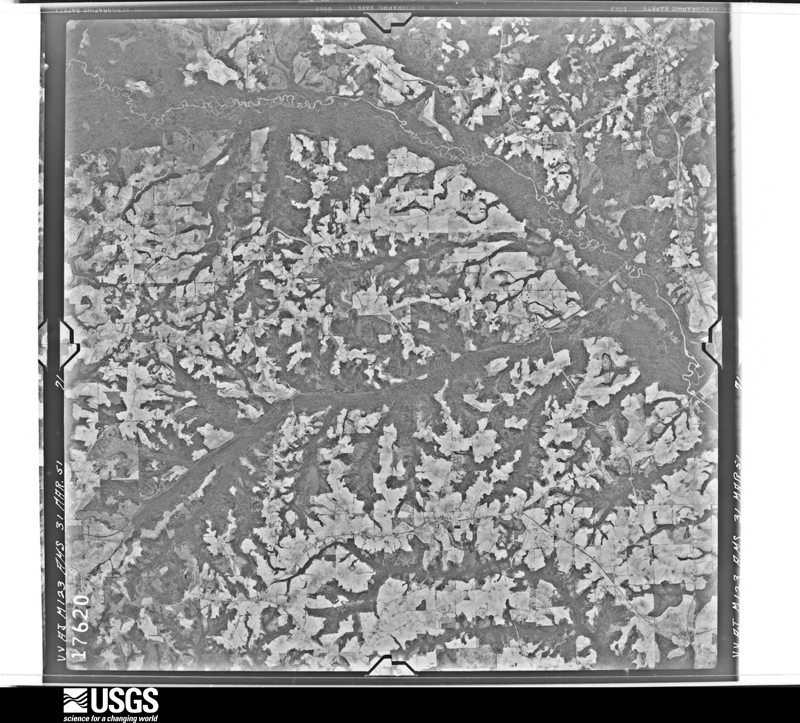
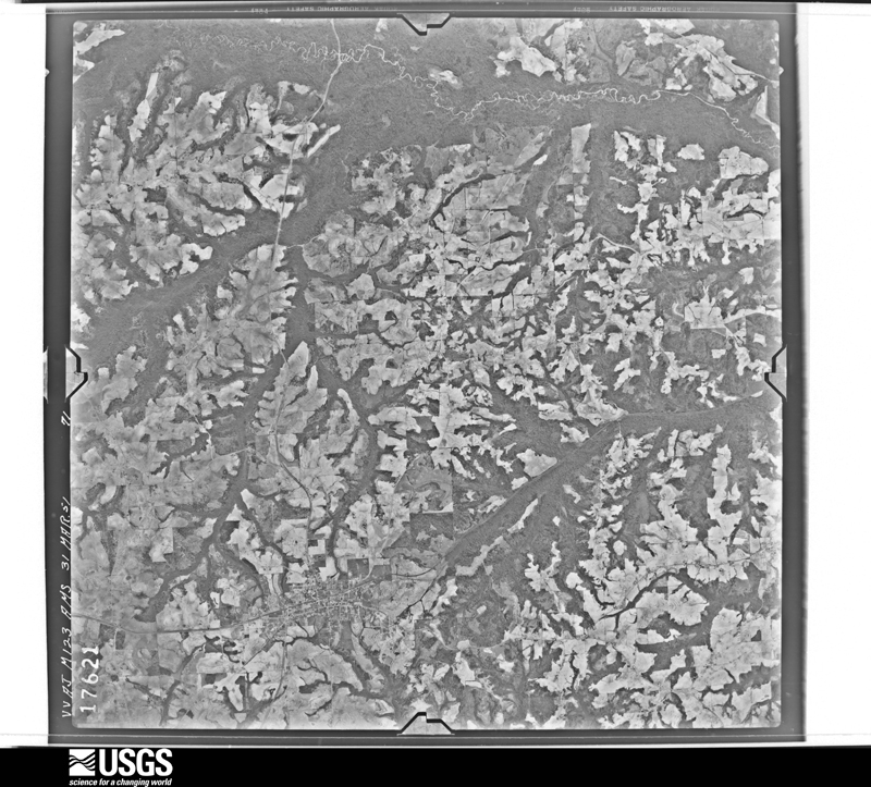
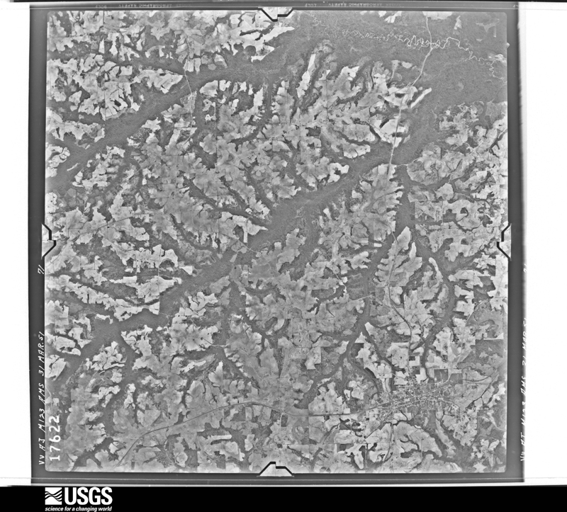
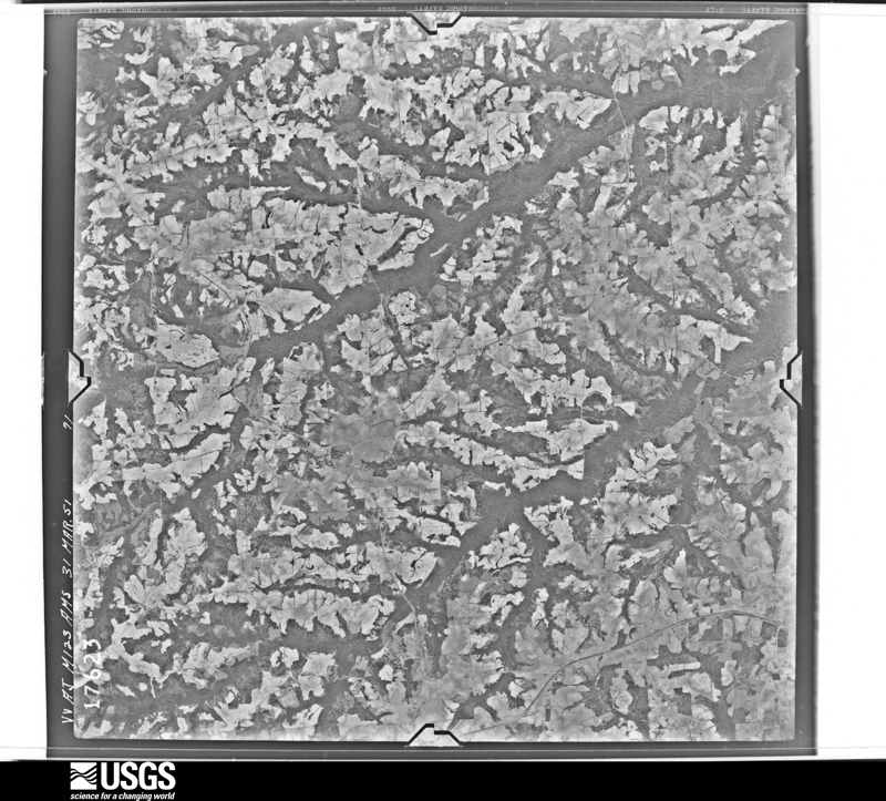
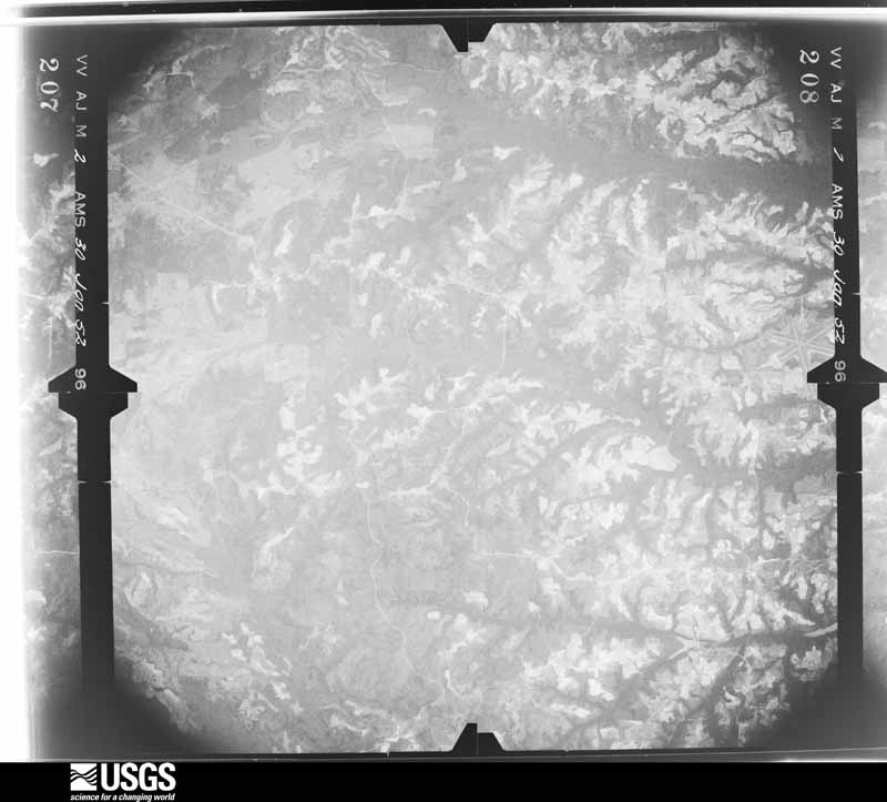
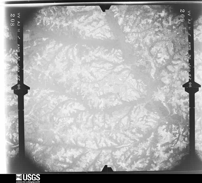
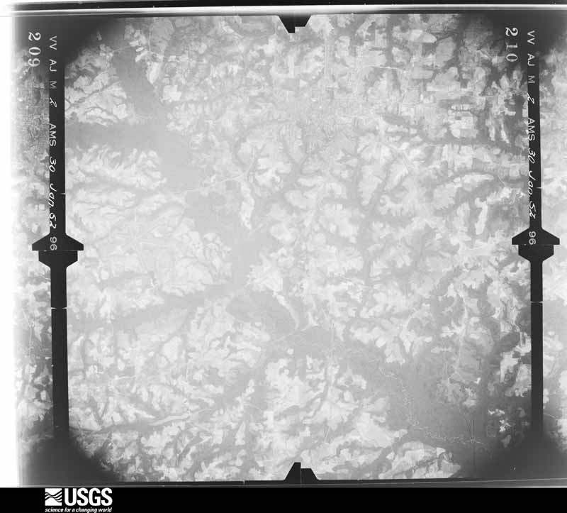
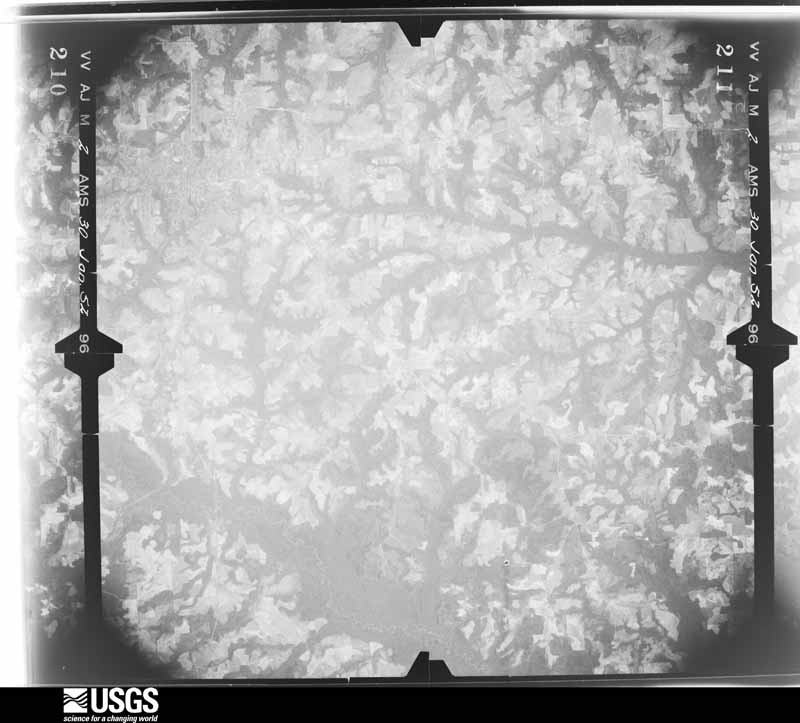
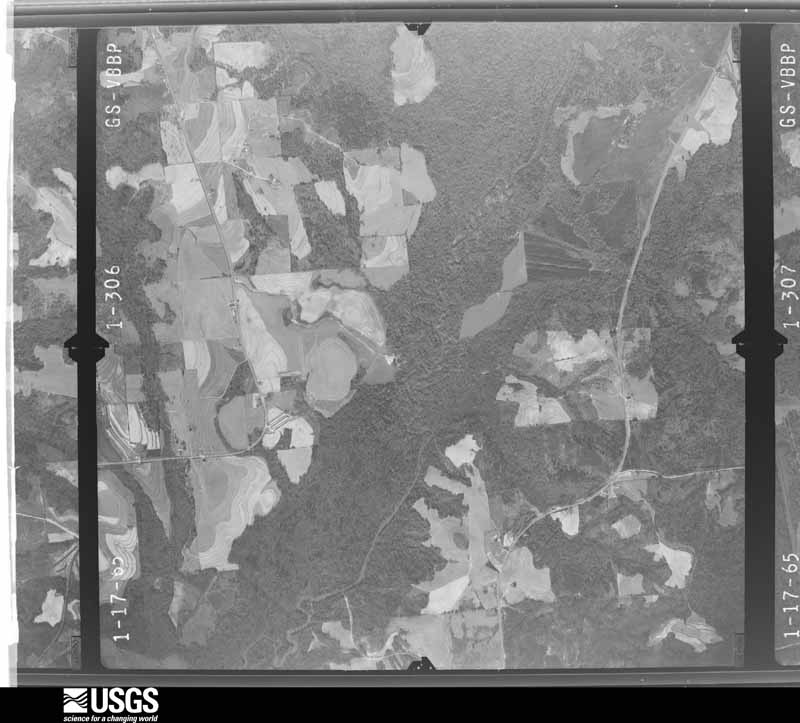
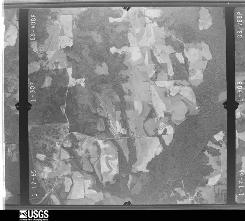
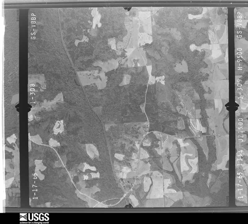
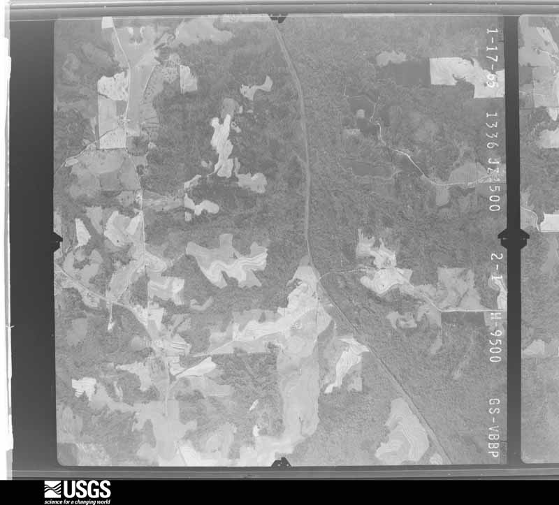
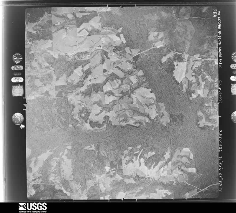
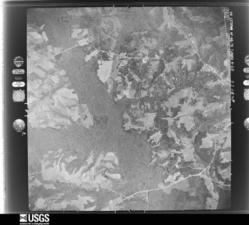
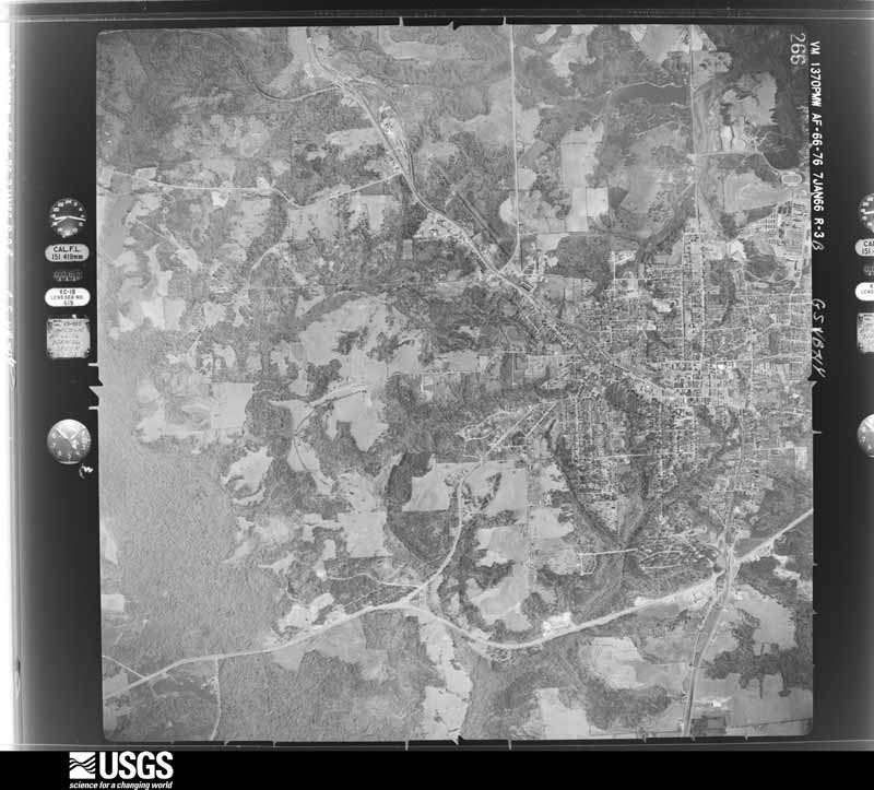
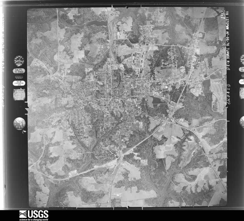
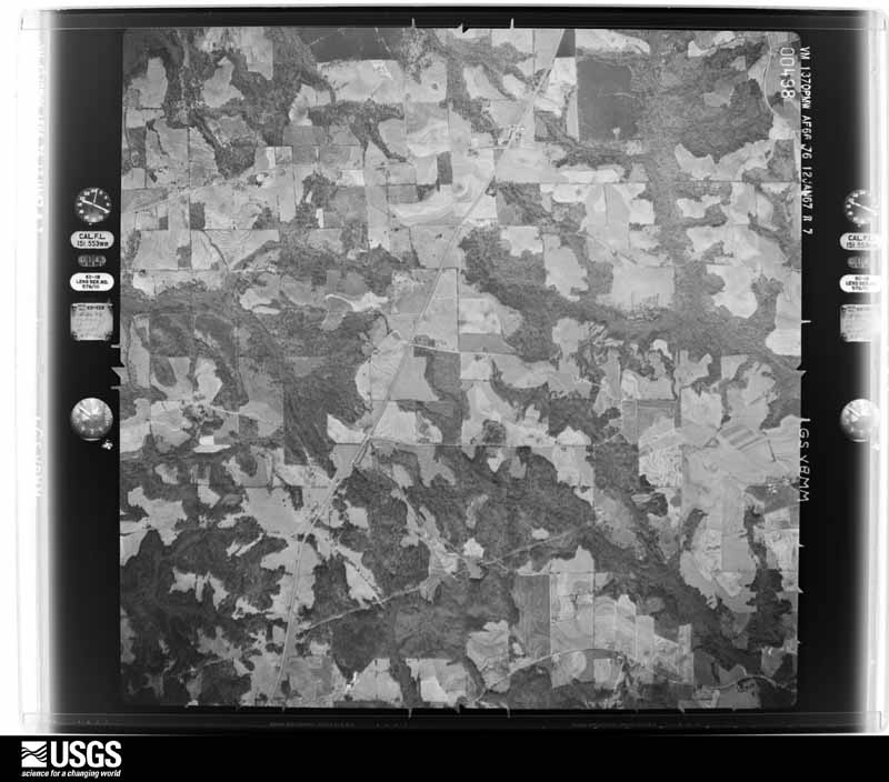
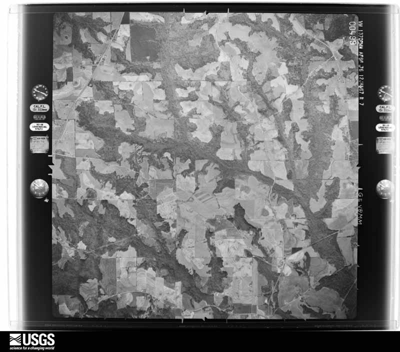
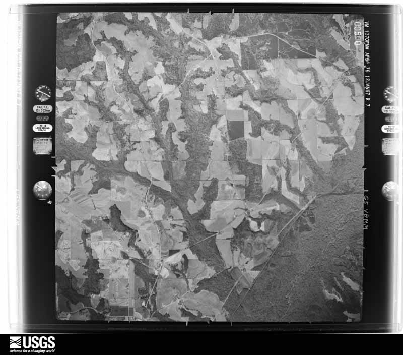
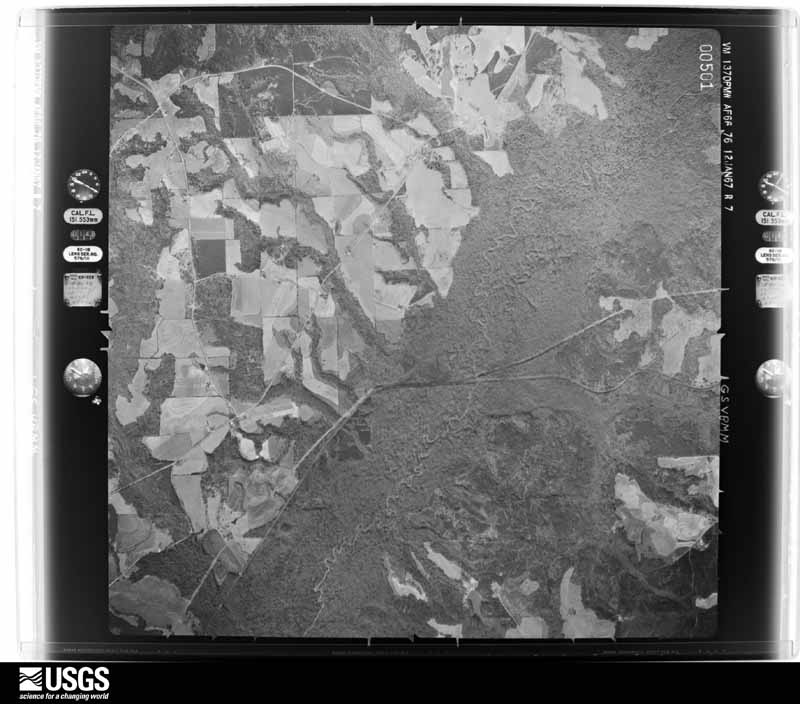
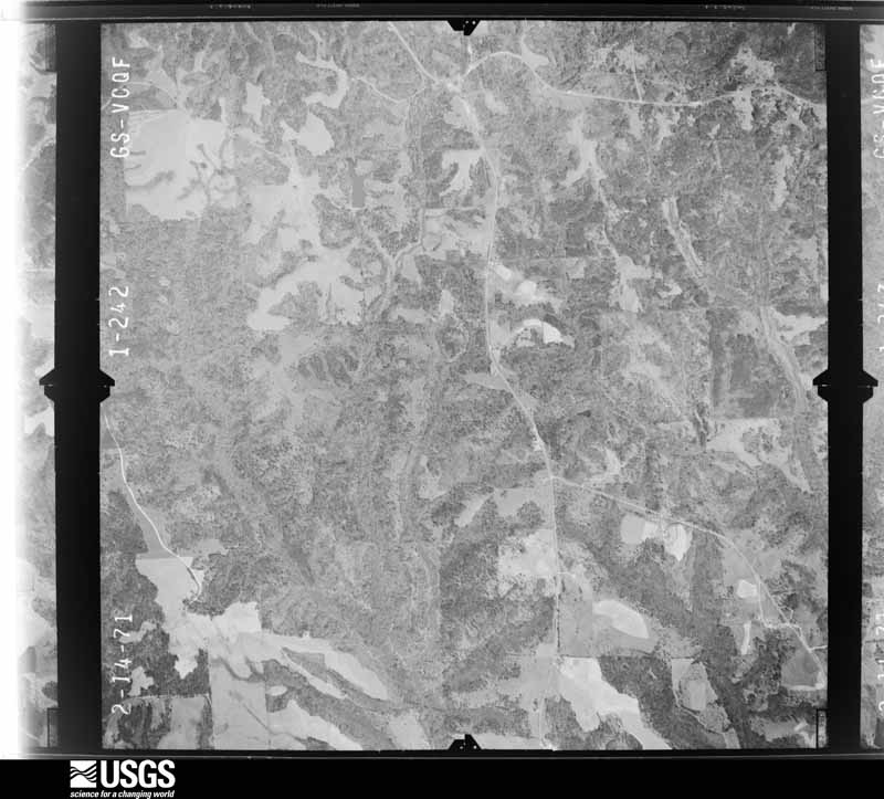
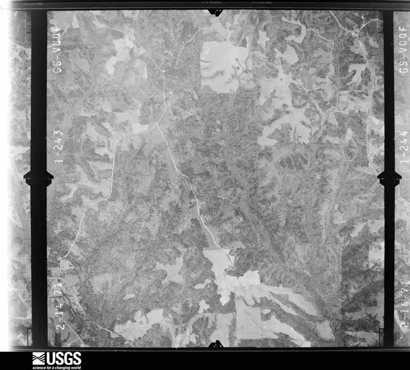
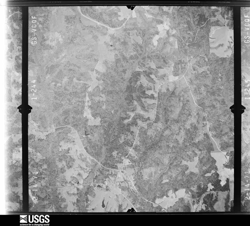
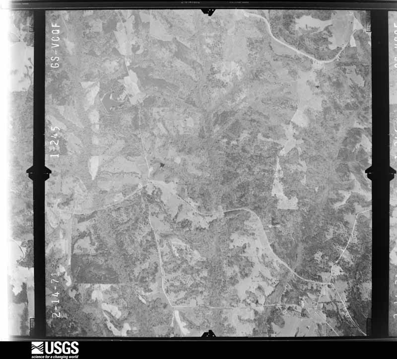
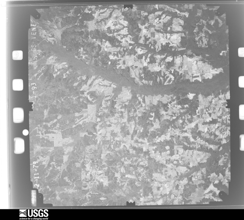
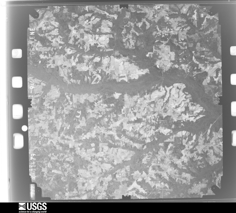
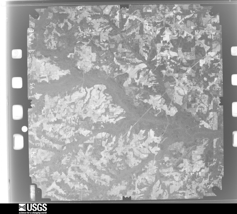
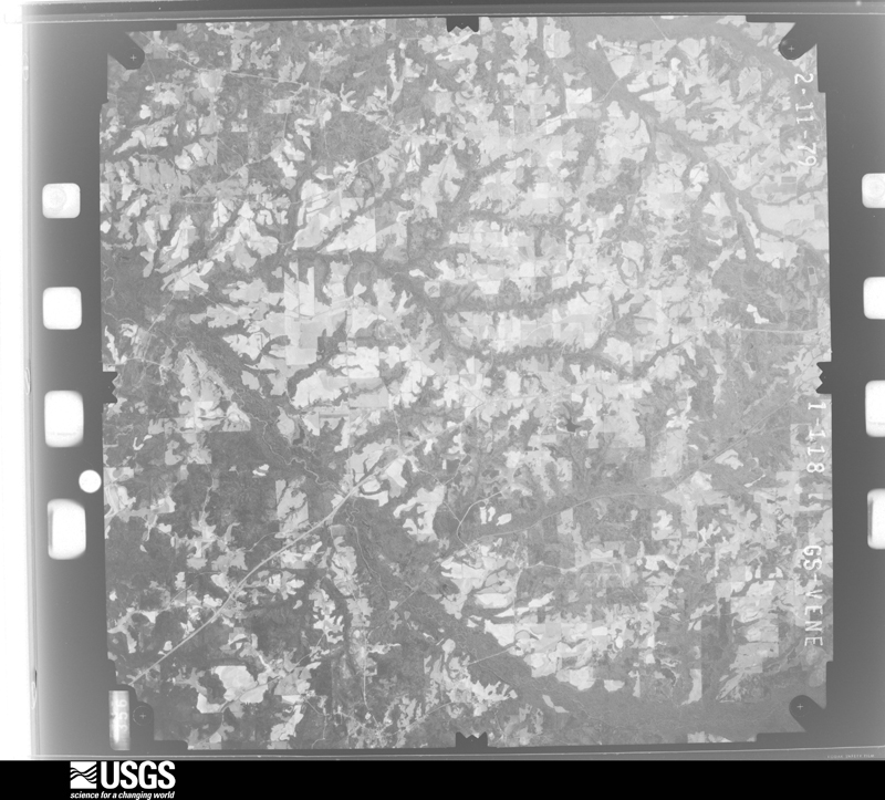
Flown by the U.S. Geological Survey between 1937 and 1989, the Aerial Photo Single Frames collection is the definitive mid-century view of the land: fields, roads and rivers as the camera saw them. The Survey holds 823 frames inside the rectangle that bounds this county; the 28 frames below were taken over the county itself, chosen across the decades of flights (at most four a year from that rectangle), so one flight cannot crowd out the rest. The full set is free to browse and download at EarthExplorer under the dataset Aerial Photo Single Frames.
The thermometers that kept this county's weather, and the gages that measured the flow of its streams, as the federal records hold them. The extremes below are measured values from those records, not estimates.
Who lived here in 1950, one enumeration district at a time, as the Census Bureau described each district. Each row opens its official National Archives result, with Population Schedules and ED Maps available there.
Every wildfire the federal occurrence database records inside this county: 461 of them, burning about 3,719 acres. 12 started naturally and 70 were recorded as arson. Each settlement page carries the fires within five miles of it.
| Reported cause | Fires |
|---|---|
| Debris and open burning | 156 |
| Missing data/not specified/undetermined | 105 |
| Arson/incendiarism | 70 |
| Equipment and vehicle use | 40 |
| Recreation and ceremony | 29 |
| Railroad operations and maintenance | 21 |
| Smoking | 14 |
| Natural | 12 |
| Misuse of fire by a minor | 11 |
| Power generation/transmission/distribution | 2 |
| Other causes | 1 |
The five largest, by the area the report gives. Five of them were set deliberately.
| Date | Cause | Size | Reported by | Name on the report |
|---|---|---|---|---|
| 11 November 2011 | Arson/incendiarism | 270 acres | Alabama Forestry Commission | CR 56 &97, AL |
| 18 March 2012 | Missing data/not specified/undetermined | 204 acres | Alabama Forestry Commission | SER-20120318-004 |
| 4 February 2006 | Railroad operations and maintenance | 139 acres | Alabama Forestry Commission | PIKE |
| 22 March 2017 | Arson/incendiarism | 133 acres | Alabama Forestry Commission | 20170322-28 |
| 15 July 2000 | Missing data/not specified/undetermined | 100 acres | Alabama Forestry Commission | not named |
| 9 March 2007 | Arson/incendiarism | 90 acres | Alabama Forestry Commission | not named |
| 21 March 2004 | Arson/incendiarism | 88 acres | Alabama Forestry Commission | not named |
| 14 March 2007 | Arson/incendiarism | 50 acres | Alabama Forestry Commission | not named |
Every settlement page carries the fires within five miles of it - see the settlement index below.
The NOAA Storm Events Database holds 245 reports for this county, causing no deaths, 22 injuries and about $5,417,250 in recorded property damage. Each settlement page carries the reports that name it.
| Kind of event | Reports |
|---|---|
| Thunderstorm Wind | 126 |
| Tornado | 53 |
| Hail | 47 |
| Flash Flood | 14 |
| Funnel Cloud | 2 |
| Heavy Rain | 2 |
| Lightning | 1 |
The most serious of them, by death, then injury, then recorded damage. The accounts are quoted exactly as the forecast office filed them.
| When | Event | Place named | Harm | What the report says |
|---|---|---|---|---|
| August 2015 | Tornado (EF1) | Troy | 7 hurt | National Weather Service meteorologists surveyed the damage in Troy and have confirmed that the damage was the result of an EF-1 Tornado. The tornado touched down just south of the Pike Liberal Arts School behind the Troy Walmart. Damage to the Walmart extended from the rear of the building to the front, with a portion of the roof collapsed. The damage was confined to a very narrow path, with other HVAC systems a few yards either side of the main damage area largely intact. Significant damage was caused to the entrances of the store as well. As the tornado crossed the parking lot, it pushed an empty tractor-trailer approximately 100 yards into a second tractor trailer, damaging both. A third tractor trailer was overturned, causing major damage. The tornado then clipped the south end of a strip mall, collapsing the front glass walls and a portion of a masonry wall on the side of Hibbett Sporting Goods. Minor damage was caused to the canopy of the Murphy USA gas station across the parking lot. The tornado crossed U.S. Highway 231 and weakened rapidly, with only minor damage caused to a convenience store across the highway before dissipating. Peak wind estimated at 100 mph. |
| February 1990 | Thunderstorm Wind | not stated | 4 hurt | no account filed |
| April 1961 | Tornado (F2) | not stated | 2 hurt, $25,000 | no account filed |
| December 1954 | Tornado (F1) | not stated | 2 hurt, $2,500 | no account filed |
| December 2012 | Tornado (EF2) | Goshen | 2 hurt | An EF-2 tornado touched down just inside the county line on Brantley Road near an open field causing only minor tree damage. It traveled northeast to County Road (CR) 2219, where it caused significant damage to 2 chicken barns, a home and a small barn before crossing CR 2201. As it continued to the northeast, the tornado traveled parallel to the Conecuh River on CR 2214 for more than two miles, causing widespread damage with hundreds of trees snapped or uprooted and damaging several homes. As it passed CR 11, a single-wide manufactured home had its anchors ripped out of the ground and rolled 75 yards into a wooded area, while leaving the wooden post porch intact. The home fell apart as it rolled, leaving a trail of debris that lead into the woods, where the frame split in two and was wrapped around the trees. Two occupants were injured and required medical attention. The tornado continued over mainly fields and wooded areas, crossing Hwy 29 just west of CR 1165. The tornado crossed the Conecuh River and intensified as it approached the River Ridge Subdivision on CR 1101. Numerous large tall trees were uprooted, scores of pines were snapped, and a portion of the wall of a brick home collapsed causing major damage. From there, it continued northeast to the Brantley Woods Motor Home Park just north of CR 1148 on the west side of US Hwy 231, between the Troy Airport and the Conecuh River. A large swath of softwood trees were mowed down about 20 feet off the ground, and 3 single-wide manufactured homes were destroyed. One of the homes had its anchors ripped out of the ground and begin to roll, but because the park was heavily wooded, it was stopped from tumbling over onto and crushing the next home. From there, the tornado continued over marshy low lands and forested areas for another 3 miles before lifting at CR 103 north of Needmore Road. |
| August 1986 | Thunderstorm Wind | not stated | 2 hurt | no account filed |
| November 1986 | Tornado (F2) | not stated | 1 hurt, $250,000 | no account filed |
| December 1974 | Tornado (F3) | not stated | 1 hurt, $2,500 | no account filed |
| June 2010 | Thunderstorm Wind | Spring Hill | 1 hurt, $2,000 | One person was injured when the roof was blown out of a dugout. |
| March 1989 | Tornado (F1) | not stated | $2,500,000 | no account filed |
| November 2006 | Tornado (F2) | Hamilton Xrds | $500,000 | This tornado, which is believed to have initially touched down just across the Coffee County line near the Roeton community, entered Pike County about 1.5 miles southwest of Hamilton Crossroads. The tornado track crossed US Highway 231, State Highway 10, and State Highway 130 before crossing the Pea River into western Barbour County. Numerous trees were blown down or snapped off along the path. Numerous structures suffered significant damage, including a water tower that completely collapsed, a fire department building, and several homes. |
| July 1989 | Tornado (F1) | not stated | $250,000 | no account filed |
| December 1974 | Tornado (F3) | not stated | $250,000 | no account filed |
| July 1972 | Tornado (F2) | not stated | $250,000 | no account filed |
| April 1969 | Tornado | not stated | $250,000 | no account filed |
| November 2000 | Tornado (F1) | Troy | $95,000 | A weak tornado formed on a bow echo about 4.1 miles north-northeast of Troy just west of the intersection of CR 103 and CR 7. The tornado traveled on a northeasterly track crossing CR 103 and CR 7. The tornado dissipated just southeast of Needmore after traveling about 1.9 miles. One mobile home that was tied down was completely destroyed and was thrown over 100 feet. Another mobile home suffered significant damage when a tree fell on one end of it. Three other mobile homes suffered some damage. Five permanent homes also sustained damage mostly to the roofs. Numerous trees sustained damage including several that were uprooted. A number of outbuildings (sheds and the like) also were damaged by the storm. Beginning: 31 52.281/85 57.246 Ending: 31 53.402/85 55.727 |
| March 2005 | Hail | Brundidge | $85,000 | no account filed |
| March 1998 | Flash Flood | Countywide | $75,000 | Several county roads were washed out after more than five inches of rain fell over the southern part of the county. Several schools were also closed due to the flooding. |
| March 2005 | Thunderstorm Wind | Brundidge | $70,000 | no account filed |
| February 2008 | Tornado (EF1) | Baltic | $60,000 | This tornado was already on the ground when it entered Pike County from Coffee County, about 5 miles southeast of Henderson. The tornado moved northeast, crossing AL-87 and AL-167, before lifting north of the intersection of CR-6 and CR-57. In Pike County, one home and one church were damaged, and a greenhouse had its windows blown out. Numerous trees were either snapped off or were uprooted along the path. |
| May 1998 | Hail | Troy | $60,000 | Baseball size hail that damaged cars was reported in Goshen. |
| August 2008 | Tornado (EF0) | Corcoran | $50,000 | The tornado touched down near the intersection of Needmore Road and County Road 7749. It then moved north-northeastward, roughly parallel to Needmore Road, for about a half mile before lifting. It produced minor damage to the roof of a home, destroyed one outbuilding, damaged the awning of a barn, caused extensive damage to two chicken houses, and snapped off about 15 hardwood trees. This tornado was associated with the remnants of Tropical Storm Fay. |
| November 2001 | Tornado (F1) | Spring Hill | $50,000 | An F1 tornado began near the intersection of SR 87 and CR 78 south of Spring Hill. A few homes sustained moderate roof damage near the beginning of the path between SR 87 and CR 167. The tornado traveled northeast and damaged a few roofs near Mims Creek. The tornado ended just south of the city of Brundidge where one home had significant roof damage. Numerous trees were snapped off or blown down along the entire tornado path. No injuries were reported. Beg: 31 38.160/85 58.206 End: 31 42.649/85 48.690 |
| September 1998 | Flash Flood | Countywide | $50,000 | no account filed |
| August 2002 | Thunderstorm Wind | Troy | $40,000 | Numerous trees were blown down across the city of Troy. Five homes were damaged from fallen trees. Troy County Club had forty to fifty trees blown down just on its property. |
| June 2010 | Lightning | Troy | $25,000 | Lightning caused a fire at the substation resulting in numerous power outages across northern portions of the county. |
| September 1998 | Tornado (F0) | Troy | $25,000 | Hurricane Georges spawned tornadoes across southeast and south central Alabama on the 28th and 29th. The first tornado touched down in extreme southwest Pike County. Numerous trees and power lines down in the Camp Sharon and Fleetwood communities. This tornado continued into Crenshaw County and produced damage near Glenwood. |
| January 1998 | Flash Flood | Countywide | $25,000 | no account filed |
| January 1974 | Tornado (F2) | not stated | $25,000 | no account filed |
| May 1973 | Tornado (F1) | not stated | $25,000 | no account filed |
| March 1971 | Tornado (F3) | not stated | $25,000 | no account filed |
| March 1971 | Tornado (F3) | not stated | $25,000 | no account filed |
| January 1962 | Tornado (F2) | not stated | $25,000 | no account filed |
| February 1958 | Tornado (F2) | not stated | $25,000 | no account filed |
| January 2000 | Thunderstorm Wind | Troy | $20,000 | Large tree limbs were knocked down onto power lines across the city causing numerous power outages. Newspaper reports indicated businesses along US 231 Bypass received minor roof and shutter damage and some signs were destroyed. |
| May 1996 | Thunderstorm Wind | Brundidge | $20,000 | no account filed |
| March 2005 | Hail | Troy | $18,000 | Golf ball size hail was observed from just south of the Ansley community to near CR 49 north of Orion. The hail producing thunderstorm affected areas in and around Ansley and Orion and crossedUS 231. |
| April 1999 | Thunderstorm Wind | Troy | $15,000 | Numerous trees and power lines blown down in the city of Troy. |
| June 1998 | Thunderstorm Wind | Troy | $15,000 | Trees and power lines were down in Troy and a trailer was cut in two by a falling tree. |
| January 1997 | Thunderstorm Wind | Brundidge | $15,000 | no account filed |
| September 1998 | Thunderstorm Wind | Troy | $12,000 | Wind associated with a thunderstorm downed trees near the intersection of SR 10 and CR 5 in western Pike County. |
| June 2004 | Thunderstorm Wind | Goshen | $11,000 | Numerous trees were blown down from near Goshen to near Troy. |
| March 2011 | Thunderstorm Wind | Tarentum | $10,000 | Sporadic wind damage occurred from near Spring Hill to near Hamilton Crossroads. Several trees and powerlines were downed and minor structure damage occurred. |
| June 2009 | Thunderstorm Wind | Spring Hill | $10,000 | A tree fell onto a house in the Spring Hill community. |
| July 2009 | Thunderstorm Wind | Olustee | $10,000 | A mobile home was blown off its foundation, and 4 tree tops were broken, near the Briar Hill community. |
| September 2004 | Flash Flood | Countywide | $8,000 | Slow moving thunderstorms dropped several inches of rain across Pike County in a short period of time. Major street flooding was reported in the city of Troy around 7 pm and continued across the area for the next hour or so. |
| March 2003 | Hail | Goshen | $8,000 | Penny to golf ball size hail pounded areas in and around Goshen. Several locations reported the hail covering the ground. One mobile home suffered minor damage. |
| April 2011 | Thunderstorm Wind | Troy | $7,000 | Numerous trees were blown down around Troy. One tree fell on a house. |
| April 2011 | Thunderstorm Wind | Brundidge Muni Arpt | $5,000 | Several trees were blown down across the eastern portion of Pike County. State Route 93 reportedly had trees and limbs that covered the roadway. |
| December 2008 | Thunderstorm Wind | Troy | $5,000 | Numerous trees were blown down around Troy, and other portions of the county. |
| February 2008 | Thunderstorm Wind | Orion | $5,000 | Several trees were blown down across the northern portion of the county. |
| November 1997 | Hail | Orion | $5,000 | Quarter to half dollar size hail was reported near Orion, in the northern part of the county. |
| January 1997 | Hail | Troy | $5,000 | no account filed |
| April 2005 | Thunderstorm Wind | Countywide | $4,000 | A few trees were knocked down across the county. |
| September 1998 | Tornado (F0) | Troy | $4,000 | A tornado knocked trees down in Shiloh and Monticello as it moved northward across eastern Pike County. |
| September 1998 | Tornado (F0) | Troy | $4,000 | A tornado moved northward across southeastern Pike county and knocked trees down east of Hamilton Crossroads. |
| October 1997 | Hail | Brundidge | $4,000 | Golf ball size hail was reported on Alabama Highway 10. |
| May 2011 | Thunderstorm Wind | (Toi)Troy Muni Arpt | $3,000 | Trees and power lines were blown down around the city of Troy. The Troy Airport measured a wind gust of 60 mph. |
| June 2010 | Thunderstorm Wind | Troy | $3,000 | Several trees were blown down. |
| April 2005 | Hail | Orion | $3,000 | Hail up to the size of golf balls fell across extreme northern Pike County. Wind gusts associated with this storm were estimated around 60 miles an hour. The large hail completely covered the groundalong US 231 and traffic was temporarily halted. |
The Survey's mineral resources record lists 302 workings inside this county. None of them still produces: all are closed or unrecorded. Each settlement page carries the workings within five miles of it.
| Commodity | Workings |
|---|---|
| Iron | 296 |
| Clay | 6 |
The least common of them first, because a county's hundredth gravel pit says nothing its first ten did not.
| Where | Site | Commodity | Status | Recorded |
|---|---|---|---|---|
| Pik 3 Clay Prospect | Clay | Prospect | ||
| Pik 4 Clay Prospect | Clay | Prospect | ||
| Pik 5 Clay Prospect | Clay | Prospect | ||
| Pik 7 Clay Prospect | Clay | Prospect | ||
| Pik 8 Clay Prospect | Clay | Prospect | ||
| Pik 9 Clay Prospect | Clay | Prospect | ||
| G P Taylor Prospect | Iron | Prospect | ||
| J A Curtis Prospect | Iron | Prospect | ||
| J Bryce Smith Prospect | Iron | Prospect | ||
| Milton McKeller Prospect | Iron | Prospect | ||
| Miss Annie Bass Prospect | Iron | Unknown | ||
| O D Warren Prospect | Iron | Prospect | ||
| O L Bryan Prospect | Iron | Prospect | ||
| Pike County Brown Iron Ore Deposits | Iron | Past Producer | 1940 | |
| R L Godwin Prospect | Iron | Prospect | ||
| R L Godwinn Prospect | Iron | Prospect | ||
| Unnamed | Iron | Unknown | ||
| Unnamed | Iron | Unknown | ||
| Unnamed | Iron | Unknown | ||
| Unnamed | Iron | Unknown | ||
| Unnamed | Iron | Unknown | ||
| Unnamed | Iron | Unknown | ||
| Unnamed | Iron | Unknown | ||
| Unnamed | Iron | Unknown | ||
| Unnamed | Iron | Unknown | ||
| Unnamed | Iron | Unknown | ||
| Unnamed | Iron | Unknown | ||
| Unnamed | Iron | Unknown | ||
| Unnamed | Iron | Unknown | ||
| Unnamed | Iron | Unknown | ||
| Unnamed | Iron | Unknown | ||
| Unnamed | Iron | Unknown | ||
| Unnamed | Iron | Unknown | ||
| Unnamed | Iron | Unknown | ||
| Unnamed | Iron | Unknown | ||
| Unnamed | Iron | Unknown | ||
| Unnamed | Iron | Unknown | ||
| Unnamed | Iron | Unknown | ||
| Unnamed | Iron | Unknown | ||
| Unnamed | Iron | Unknown | ||
| Unnamed | Iron | Unknown | ||
| Unnamed | Iron | Unknown | ||
| Unnamed | Iron | Unknown | ||
| Unnamed | Iron | Unknown | ||
| Unnamed | Iron | Unknown | ||
| Unnamed | Iron | Unknown | ||
| Unnamed | Iron | Unknown | ||
| Unnamed | Iron | Unknown | ||
| Unnamed | Iron | Unknown | ||
| Unnamed | Iron | Unknown | ||
| Unnamed | Iron | Unknown | ||
| Unnamed | Iron | Unknown | ||
| Unnamed | Iron | Unknown | ||
| Unnamed | Iron | Unknown | ||
| Unnamed | Iron | Unknown | ||
| Unnamed | Iron | Unknown | ||
| Unnamed | Iron | Unknown | ||
| Unnamed | Iron | Unknown | ||
| Unnamed | Iron | Unknown | ||
| Unnamed | Iron | Unknown | ||
| Unnamed | Iron | Unknown | ||
| Unnamed | Iron | Unknown | ||
| Unnamed | Iron | Unknown | ||
| Unnamed | Iron | Unknown | ||
| Unnamed | Iron | Unknown | ||
| Unnamed | Iron | Unknown | ||
| Unnamed | Iron | Unknown | ||
| Unnamed | Iron | Unknown | ||
| Unnamed | Iron | Unknown | ||
| Unnamed | Iron | Unknown | ||
| Unnamed | Iron | Unknown | ||
| Unnamed | Iron | Unknown | ||
| Unnamed | Iron | Unknown | ||
| Unnamed | Iron | Unknown | ||
| Unnamed | Iron | Unknown | ||
| Unnamed | Iron | Unknown | ||
| Unnamed | Iron | Unknown | ||
| Unnamed | Iron | Unknown | ||
| Unnamed | Iron | Unknown | ||
| Unnamed | Iron | Unknown | ||
| Unnamed | Iron | Unknown | ||
| Unnamed | Iron | Unknown | ||
| Unnamed | Iron | Unknown | ||
| Unnamed | Iron | Unknown | ||
| Unnamed | Iron | Unknown | ||
| Unnamed | Iron | Unknown | ||
| Unnamed | Iron | Unknown | ||
| Unnamed | Iron | Unknown | ||
| Unnamed | Iron | Unknown | ||
| Unnamed | Iron | Unknown | ||
| Unnamed | Iron | Unknown | ||
| Unnamed | Iron | Unknown | ||
| Unnamed | Iron | Unknown | ||
| Unnamed | Iron | Unknown | ||
| Unnamed | Iron | Unknown | ||
| Unnamed | Iron | Unknown | ||
| Unnamed | Iron | Unknown | ||
| Unnamed | Iron | Unknown | ||
| Unnamed | Iron | Unknown | ||
| Unnamed | Iron | Unknown | ||
| Unnamed | Iron | Unknown | ||
| Unnamed | Iron | Unknown | ||
| Unnamed | Iron | Unknown | ||
| Unnamed | Iron | Unknown | ||
| Unnamed | Iron | Unknown | ||
| Unnamed | Iron | Unknown | ||
| Unnamed | Iron | Unknown | ||
| Unnamed | Iron | Unknown | ||
| Unnamed | Iron | Unknown | ||
| Unnamed | Iron | Unknown | ||
| Unnamed | Iron | Unknown | ||
| Unnamed | Iron | Unknown | ||
| Unnamed | Iron | Unknown | ||
| Unnamed | Iron | Unknown | ||
| Unnamed | Iron | Unknown | ||
| Unnamed | Iron | Unknown | ||
| Unnamed | Iron | Unknown | ||
| Unnamed | Iron | Unknown | ||
| Unnamed | Iron | Unknown | ||
| Unnamed | Iron | Unknown | ||
| Unnamed | Iron | Unknown | ||
| Unnamed | Iron | Unknown | ||
| Unnamed | Iron | Unknown | ||
| Unnamed | Iron | Unknown | ||
| Unnamed | Iron | Unknown | ||
| Unnamed | Iron | Unknown | ||
| Unnamed | Iron | Unknown | ||
| Unnamed | Iron | Unknown | ||
| Unnamed | Iron | Unknown | ||
| Unnamed | Iron | Unknown | ||
| Unnamed | Iron | Unknown | ||
| Unnamed | Iron | Unknown | ||
| Unnamed | Iron | Unknown | ||
| Unnamed | Iron | Unknown | ||
| Unnamed | Iron | Unknown | ||
| Unnamed | Iron | Unknown | ||
| Unnamed | Iron | Unknown | ||
| Unnamed | Iron | Unknown | ||
| Unnamed | Iron | Unknown | ||
| Unnamed | Iron | Unknown | ||
| Unnamed | Iron | Unknown | ||
| Unnamed | Iron | Unknown | ||
| Unnamed | Iron | Unknown | ||
| Unnamed | Iron | Unknown | ||
| Unnamed | Iron | Unknown | ||
| Unnamed | Iron | Unknown | ||
| Unnamed | Iron | Unknown | ||
| Unnamed | Iron | Unknown | ||
| Unnamed | Iron | Unknown | ||
| Unnamed | Iron | Unknown | ||
| Unnamed | Iron | Unknown | ||
| Unnamed | Iron | Unknown | ||
| Unnamed | Iron | Unknown | ||
| Unnamed | Iron | Unknown | ||
| Unnamed | Iron | Unknown | ||
| Unnamed | Iron | Unknown | ||
| Unnamed | Iron | Unknown | ||
| Unnamed | Iron | Unknown | ||
| Unnamed | Iron | Unknown | ||
| Unnamed | Iron | Unknown | ||
| Unnamed | Iron | Unknown | ||
| Unnamed | Iron | Unknown | ||
| Unnamed | Iron | Unknown | ||
| Unnamed | Iron | Unknown | ||
| Unnamed | Iron | Unknown | ||
| Unnamed | Iron | Unknown | ||
| Unnamed | Iron | Unknown | ||
| Unnamed | Iron | Unknown | ||
| Unnamed | Iron | Unknown | ||
| Unnamed | Iron | Unknown | ||
| Unnamed | Iron | Unknown | ||
| Unnamed | Iron | Unknown | ||
| Unnamed | Iron | Unknown | ||
| Unnamed | Iron | Unknown | ||
| Unnamed | Iron | Unknown | ||
| Unnamed | Iron | Unknown | ||
| Unnamed | Iron | Unknown | ||
| Unnamed | Iron | Unknown | ||
| Unnamed | Iron | Unknown | ||
| Unnamed | Iron | Unknown | ||
| Unnamed | Iron | Unknown | ||
| Unnamed | Iron | Unknown | ||
| Unnamed | Iron | Unknown | ||
| Unnamed | Iron | Unknown | ||
| Unnamed | Iron | Unknown | ||
| Unnamed | Iron | Unknown | ||
| Unnamed | Iron | Unknown | ||
| Unnamed | Iron | Unknown | ||
| Unnamed | Iron | Unknown | ||
| Unnamed Deposit | Iron | Occurrence | ||
| Unnamed Deposit | Iron | Occurrence | ||
| Unnamed Deposit | Iron | Occurrence | ||
| Unnamed Deposit | Iron | Occurrence | ||
| Unnamed Deposit | Iron | Occurrence | ||
| Unnamed Deposit | Iron | Occurrence | ||
| Unnamed Deposit | Iron | Occurrence | ||
| Unnamed Deposit | Iron | Occurrence | ||
| Unnamed Deposit | Iron | Occurrence | ||
| Unnamed Deposit | Iron | Occurrence | ||
| Unnamed Deposit | Iron | Occurrence | ||
| Unnamed Deposit | Iron | Occurrence | ||
| Unnamed Deposit | Iron | Occurrence | ||
| Unnamed Deposit | Iron | Occurrence | ||
| Unnamed Deposit | Iron | Occurrence | ||
| Unnamed Deposit | Iron | Occurrence | ||
| Unnamed Deposit | Iron | Occurrence | ||
| Unnamed Deposit | Iron | Occurrence | ||
| Unnamed Deposit | Iron | Occurrence | ||
| Unnamed Deposit | Iron | Occurrence | ||
| Unnamed Deposit | Iron | Occurrence | ||
| Unnamed Deposit | Iron | Occurrence | ||
| Unnamed Deposit | Iron | Occurrence | ||
| Unnamed Deposit | Iron | Occurrence | ||
| Unnamed Deposit | Iron | Occurrence | ||
| Unnamed Deposit | Iron | Occurrence | ||
| Unnamed Deposit | Iron | Occurrence | ||
| Unnamed Deposit | Iron | Occurrence | ||
| Unnamed Deposit | Iron | Occurrence | ||
| Unnamed Deposit | Iron | Occurrence | ||
| Unnamed Deposit | Iron | Occurrence | ||
| Unnamed Deposit | Iron | Occurrence | ||
| Unnamed Deposit | Iron | Occurrence | ||
| Unnamed Deposit | Iron | Occurrence | ||
| Unnamed Deposit | Iron | Occurrence | ||
| Unnamed Deposit | Iron | Occurrence | ||
| Unnamed Deposit | Iron | Occurrence | ||
| Unnamed Deposit | Iron | Occurrence | ||
| Unnamed Deposit | Iron | Occurrence | ||
| Unnamed Deposit | Iron | Occurrence | ||
| Unnamed Deposit | Iron | Occurrence | ||
| Unnamed Deposit | Iron | Occurrence | ||
| Unnamed Deposit | Iron | Occurrence | ||
| Unnamed Deposit | Iron | Occurrence | ||
| Unnamed Deposit | Iron | Occurrence | ||
| Unnamed Mine | Iron | Past Producer | ||
| Unnamed Mine | Iron | Past Producer | ||
| Unnamed Mine | Iron | Past Producer | ||
| Unnamed Mine | Iron | Past Producer | ||
| Unnamed Mine | Iron | Past Producer | ||
| Unnamed Mine | Iron | Past Producer | ||
| Unnamed Mine | Iron | Past Producer | ||
| Unnamed Mine | Iron | Past Producer | ||
| Unnamed Mine | Iron | Past Producer | ||
| Unnamed Mine | Iron | Past Producer | ||
| Unnamed Mine | Iron | Past Producer | ||
| Unnamed Mine | Iron | Past Producer | ||
| Unnamed Mine | Iron | Past Producer | ||
| Unnamed Mine | Iron | Past Producer | ||
| Unnamed Mine | Iron | Past Producer | ||
| Unnamed Mine | Iron | Past Producer | ||
| Unnamed Mine | Iron | Past Producer | ||
| Unnamed Mine | Iron | Past Producer | ||
| Unnamed Mine | Iron | Past Producer | ||
| Unnamed Mine | Iron | Past Producer | ||
| Unnamed Mine | Iron | Past Producer | ||
| Unnamed Mine | Iron | Past Producer | ||
| Unnamed Mine | Iron | Past Producer | ||
| Unnamed Mine | Iron | Past Producer | ||
| Unnamed Mine | Iron | Past Producer | ||
| Unnamed Mine | Iron | Past Producer | ||
| Unnamed Mine | Iron | Past Producer | ||
| Unnamed Mine | Iron | Past Producer | ||
| Unnamed Mine | Iron | Past Producer | ||
| Unnamed Mine | Iron | Past Producer | ||
| Unnamed Mine | Iron | Past Producer | ||
| Unnamed Mine | Iron | Past Producer | ||
| Unnamed Mine | Iron | Past Producer | ||
| Unnamed Mine | Iron | Past Producer | ||
| Unnamed Mine | Iron | Past Producer | ||
| Unnamed Mine | Iron | Past Producer | ||
| Unnamed Mine | Iron | Past Producer | ||
| Unnamed Mine | Iron | Past Producer | ||
| Unnamed Mine | Iron | Past Producer | ||
| Unnamed Mine | Iron | Past Producer | ||
| Unnamed Mine | Iron | Past Producer | ||
| Unnamed Mine | Iron | Past Producer | ||
| Unnamed Mine | Iron | Past Producer | ||
| Unnamed Mine | Iron | Past Producer | ||
| Unnamed Mine | Iron | Past Producer | ||
| Unnamed Mine | Iron | Past Producer | ||
| Unnamed Mine | Iron | Past Producer | ||
| Unnamed Mine | Iron | Past Producer | ||
| Unnamed Mine | Iron | Past Producer | ||
| Unnamed Mine | Iron | Past Producer | ||
| Unnamed Mine | Iron | Past Producer | ||
| Unnamed Mine | Iron | Past Producer | ||
| Unnamed Mine | Iron | Past Producer | ||
| Unnamed Mine | Iron | Past Producer | ||
| Unnamed Mine | Iron | Past Producer | ||
| Unnamed Mine | Iron | Past Producer | ||
| Unnamed Mine | Iron | Past Producer | ||
| Unnamed Mine | Iron | Past Producer | ||
| Unnamed Mine | Iron | Past Producer | ||
| Unnamed Mine | Iron | Past Producer | ||
| Unnamed Mine | Iron | Past Producer | ||
| Unnamed Mine | Iron | Past Producer | ||
| Unnamed Mine | Iron | Past Producer | ||
| Unnamed Mine | Iron | Past Producer | ||
| Unnamed Mine | Iron | Past Producer | ||
| Unnamed Mine | Iron | Past Producer | ||
| Unnamed Mine | Iron | Past Producer | ||
| Unnamed Mine | Iron | Past Producer |
Named settlements recorded in the Geographic Names Information System, each with the topographic sheets covering it. Villages, hamlets and abandoned places alike. Each is shown with the nearest named watercourse or landform and the survey quadrangle it falls on. The 2 places that were also surveyed for fire insurance come first, with the number of atlases and photographs held for them.
Brundidge census division · 36010 · Brundidge quadrangle
11 sheets, 1948 to 1981
Fire insurance: 4 atlases
Troy census division · 36081 · Troy quadrangle
8 sheets, 1953 to 1981
Fire insurance: 10 atlases
Henderson-Spring Hill census division · 36079 · On Gibson Mill Branch · Goshen quadrangle
8 sheets, 1953 to 1986
Goshen-Shady Grove census division · 36035 · On Jackson Creek · Grady quadrangle
8 sheets, 1953 to 1986
Banks-Josie census division · 36005 · On Bridge Creek · Banks quadrangle
7 sheets, 1953 to 1981
Henderson-Spring Hill census division · 36079 · Brundidge NW quadrangle
11 sheets, 1948 to 1981
No longer a settlement
Needmore census division · 36081 · On China Grove Creek · China Grove quadrangle
9 sheets, 1955 to 1981
Goshen-Shady Grove census division · 36079 · Near Becks Mountain · Ansley quadrangle
8 sheets, 1953 to 1986
Henderson-Spring Hill census division · 36035 · On Tenmile Branch · Goshen quadrangle
8 sheets, 1953 to 1986
Troy census division · 36081 · On Kendrick Branch · Troy quadrangle
8 sheets, 1953 to 1981
Goshen-Shady Grove census division · 36035 · Youngblood quadrangle
8 sheets, 1953 to 1986
Troy census division · 36081 · On Collins Branch · Troy quadrangle
8 sheets, 1953 to 1981
Goshen-Shady Grove census division · 36079 · On Jordan Creek · Youngblood quadrangle
8 sheets, 1953 to 1986
Goshen-Shady Grove census division · 36035 · On Elam Branch · Goshen quadrangle
8 sheets, 1953 to 1986
Goshen-Shady Grove census division · 36079 · On Lynn Mill Creek · Goshen quadrangle
8 sheets, 1953 to 1986
Brundidge census division · 36010 · Brundidge quadrangle
11 sheets, 1948 to 1981
Needmore census division · 36081 · On Surveyors Branch · Ansley quadrangle
8 sheets, 1953 to 1986
Henderson-Spring Hill census division · 36035 · On Dolton Branch · Goshen quadrangle
8 sheets, 1953 to 1986
Troy census division · 36081 · On Nappy Head Branch · Troy quadrangle
8 sheets, 1953 to 1981
Needmore census division · 36081 · On Browns Mill Creek · Needmore quadrangle
7 sheets, 1953 to 1981
Banks-Josie census division · 36081 · On Dunns Branch · Needmore quadrangle
7 sheets, 1953 to 1981
Troy census division · 36081 · On Morgans Branch · Troy quadrangle
8 sheets, 1953 to 1981
Henderson-Spring Hill census division · 36079 · Youngblood quadrangle
8 sheets, 1953 to 1986
Banks-Josie census division · 36005 · On Little Buckhorn Creek · Banks quadrangle
7 sheets, 1953 to 1981
Henderson-Spring Hill census division · 36079 · Brundidge NW quadrangle
11 sheets, 1948 to 1981
Henderson-Spring Hill census division · 36079 · Brundidge NW quadrangle
11 sheets, 1948 to 1981
Needmore census division · 36081 · On Ross Branch · Needmore quadrangle
7 sheets, 1953 to 1981
Henderson-Spring Hill census division · 36035 · On Dolton Branch · Goshen quadrangle
8 sheets, 1953 to 1986
Troy census division · 36081 · On Kendrick Branch · Troy quadrangle
8 sheets, 1953 to 1981
Troy census division · 36081 · On Kendrick Branch · Troy quadrangle
8 sheets, 1953 to 1981
Troy census division · 36081 · On Indian Creek · Troy quadrangle
8 sheets, 1953 to 1981
Henderson-Spring Hill census division · 36035 · On Dolton Branch · Goshen quadrangle
8 sheets, 1953 to 1986
Brundidge census division · 36010 · On Sandy Run Creek · Elamville quadrangle
8 sheets, 1953 to 1981
Troy census division · 36081 · On Kendrick Branch · Troy quadrangle
8 sheets, 1953 to 1981
Troy census division · 36079 · On Beeman Creek · Youngblood quadrangle
8 sheets, 1953 to 1986
Henderson-Spring Hill census division · 36035 · On Tenmile Branch · Goshen quadrangle
8 sheets, 1953 to 1986
Banks-Josie census division · 36081 · Near Devils Backbone · Saco quadrangle
8 sheets, 1953 to 1981
Goshen-Shady Grove census division · 36079 · On McQuagge Mill Creek · Ansley quadrangle
8 sheets, 1953 to 1986
Henderson-Spring Hill census division · 36079 · Brundidge NW quadrangle
11 sheets, 1948 to 1981
Goshen-Shady Grove census division · 36035 · On Mill Creek · Petrey quadrangle
7 sheets, 1953 to 1986
Troy census division · 36079 · Youngblood quadrangle
8 sheets, 1953 to 1986
Troy census division · 36081 · On Kendrick Branch · Troy quadrangle
8 sheets, 1953 to 1981
Goshen-Shady Grove census division · 36079 · On Boyds Mill Creek · Youngblood quadrangle
8 sheets, 1953 to 1986
The vanished settlements of Pike County: the places named above that are no longer on the map.
8 topographic sheets and 10 fire insurance atlases, 1885 to 1948
11 topographic sheets and 4 fire insurance atlases, 1916 to 1943
The complete index, with nothing left out. Each of these is a separate record with its own page: a federal survey report, or the case file that argued a property on to the National Register. Both are public domain and reproduced word for word.
The vanished settlements of Pike County, the places these records name that are no longer on the map.