 Block
From the record
3 National Register listings published here.
Sources: the National Register database, National Park Service
43 topographic sheets and 8 fire insurance atlases across 1 place.
3 National Register listings published here.
Sources: the National Register database, National Park Service
Every property in this county listed on the National Register of Historic Places, with the year it was listed and the federal nomination document.
| Photograph | Property | Type | Listed | Reference |
|---|---|---|---|---|
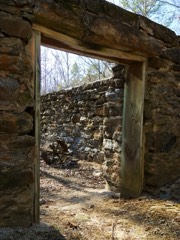 | McCosh Grist Mill | district | 1976 | 76000353 |
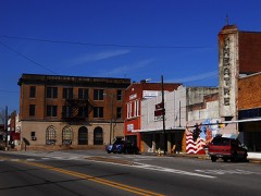 | Roanoke Downtown Historic District | district | 1993 | 85003683 |
 | Wadley Railroad Depot | building | 2011 | 11000428 |
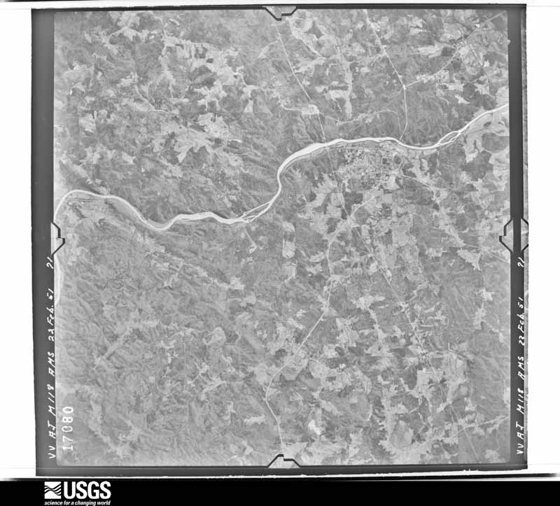
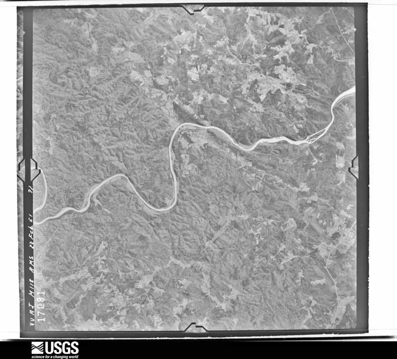
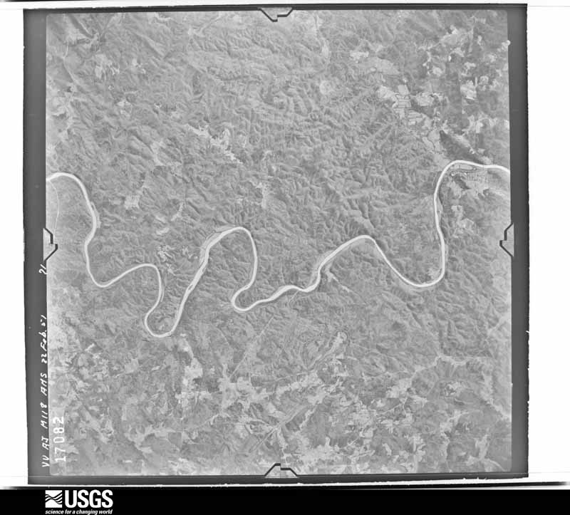
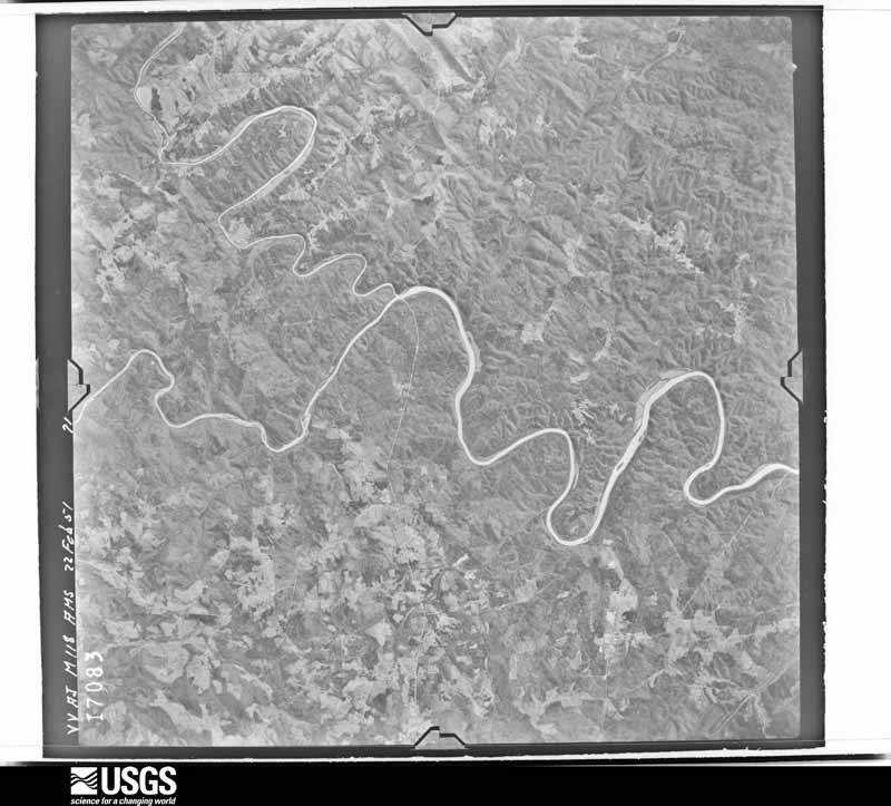
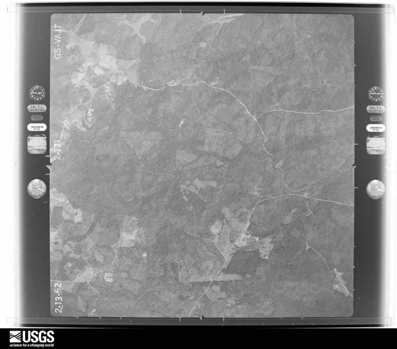
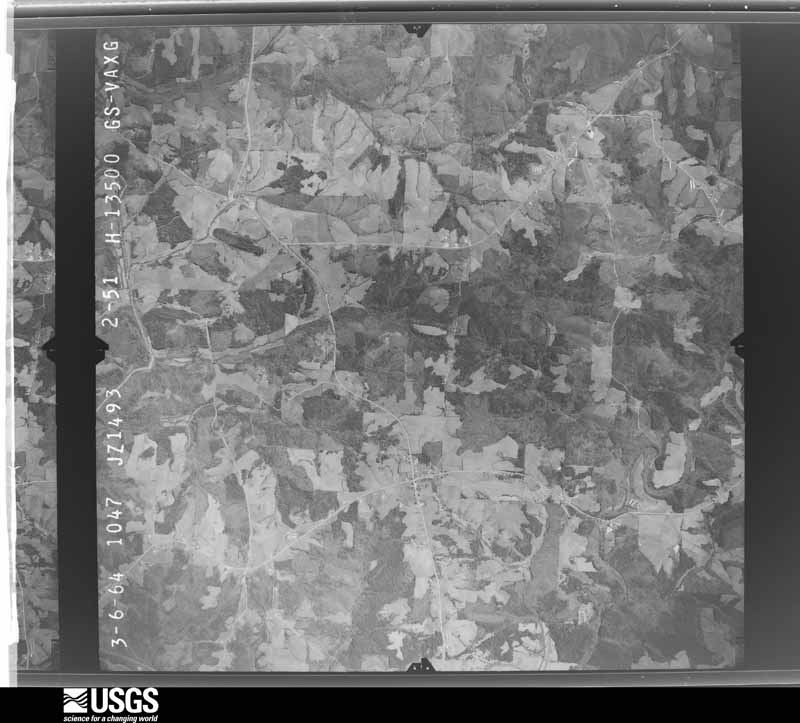
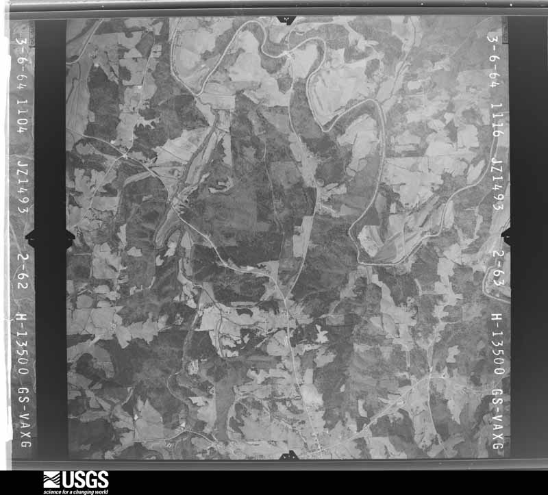
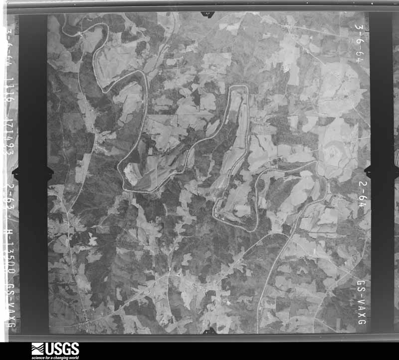
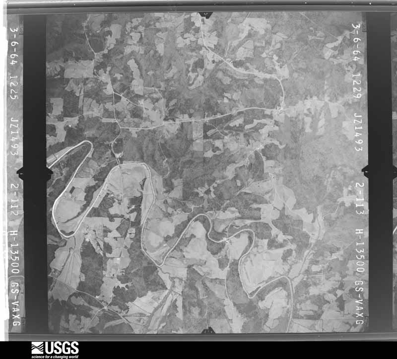
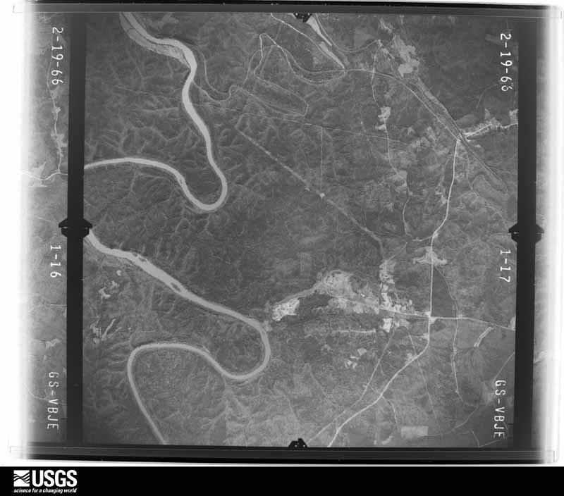
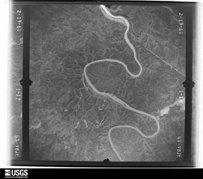
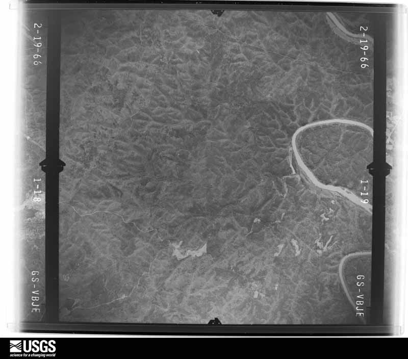
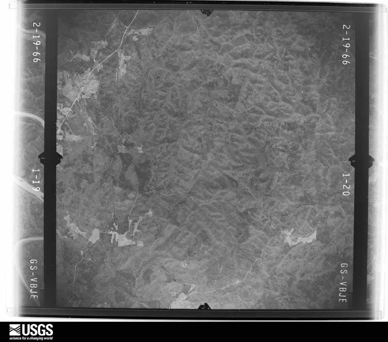
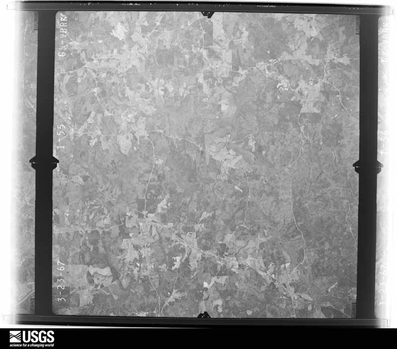
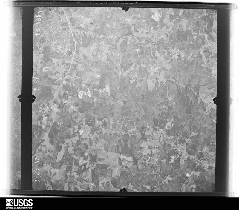
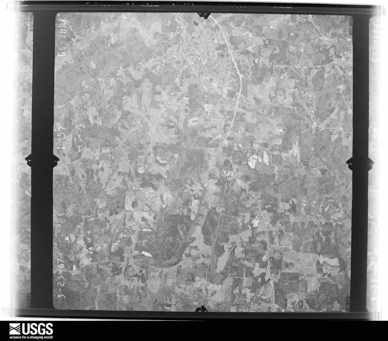
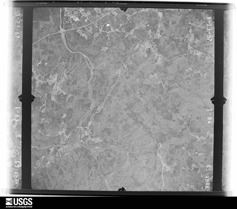
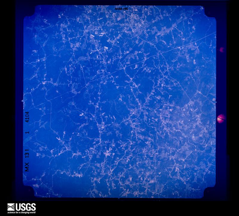
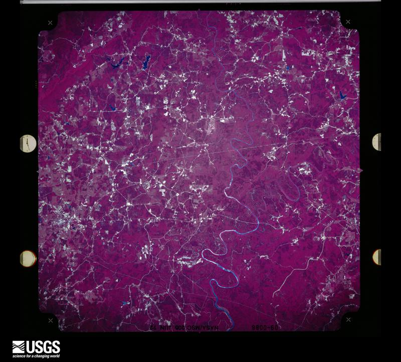
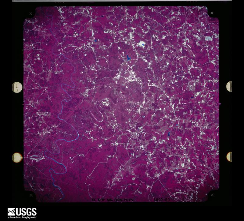
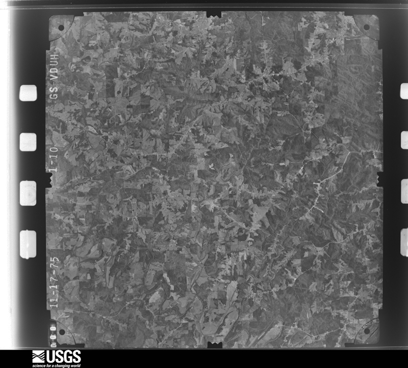
Flown by the U.S. Geological Survey between 1937 and 1989, the Aerial Photo Single Frames collection is the definitive mid-century view of the land: fields, roads and rivers as the camera saw them. The Survey holds 970 frames inside the rectangle that bounds this county; the 33 frames below were taken over the county itself, chosen across the decades of flights (at most four a year from that rectangle), so one flight cannot crowd out the rest. The full set is free to browse and download at EarthExplorer under the dataset Aerial Photo Single Frames.












The thermometers that kept this county's weather, and the gages that measured the flow of its streams, as the federal records hold them. The extremes below are measured values from those records, not estimates.
Who lived here in 1950, one enumeration district at a time, as the Census Bureau described each district. Each row opens its official National Archives result, with Population Schedules and ED Maps available there.
Every wildfire the federal occurrence database records inside this county: 971 of them, burning about 7,030 acres. 18 started naturally and 201 were recorded as arson. Each settlement page carries the fires within five miles of it.
| Reported cause | Fires |
|---|---|
| Debris and open burning | 425 |
| Arson/incendiarism | 201 |
| Missing data/not specified/undetermined | 146 |
| Recreation and ceremony | 83 |
| Equipment and vehicle use | 40 |
| Railroad operations and maintenance | 32 |
| Natural | 18 |
| Misuse of fire by a minor | 10 |
| Smoking | 9 |
| Power generation/transmission/distribution | 3 |
| Other causes | 3 |
| Fireworks | 1 |
The five largest, by the area the report gives. Five of them were set deliberately.
| Date | Cause | Size | Reported by | Name on the report |
|---|---|---|---|---|
| 29 April 2000 | Arson/incendiarism | 172 acres | Alabama Forestry Commission | not named |
| 1 May 2000 | Arson/incendiarism | 172 acres | Alabama Forestry Commission | not named |
| 7 March 2000 | Arson/incendiarism | 122 acres | Alabama Forestry Commission | not named |
| 10 April 1995 | Debris and open burning | 117 acres | Alabama Forestry Commission | not named |
| 12 December 2015 | Arson/incendiarism | 113 acres | Alabama Forestry Commission | NER-20151212-001 |
| 9 April 1996 | Debris and open burning | 110 acres | Alabama Forestry Commission | not named |
| 28 October 2000 | Debris and open burning | 100 acres | Alabama Forestry Commission | not named |
| 1 March 2002 | Arson/incendiarism | 90 acres | Alabama Forestry Commission | not named |
Every settlement page carries the fires within five miles of it - see the settlement index below.
The NOAA Storm Events Database holds 310 reports for this county, causing 3 deaths, 16 injuries and about $9,900,000 in recorded property damage. Each settlement page carries the reports that name it.
| Kind of event | Reports |
|---|---|
| Thunderstorm Wind | 156 |
| Hail | 99 |
| Tornado | 22 |
| Flash Flood | 21 |
| Lightning | 9 |
| Flood | 2 |
| Heavy Rain | 1 |
The most serious of them, by death, then injury, then recorded damage. The accounts are quoted exactly as the forecast office filed them.
| When | Event | Place named | Harm | What the report says |
|---|---|---|---|---|
| April 1985 | Thunderstorm Wind | not stated | 2 killed | no account filed |
| January 1974 | Tornado (F3) | not stated | 1 killed, 7 hurt, $250,000 | no account filed |
| November 1992 | Tornado (F1) | not stated | 5 hurt, $2,500,000 | no account filed |
| April 1970 | Tornado (F2) | not stated | 2 hurt, $25,000 | no account filed |
| July 2008 | Thunderstorm Wind | Roanoke Muni Arpt | 1 hurt, $5,000 | The top of a pine tree fell on a mobile home, and injured one person who was taken to the hospital. |
| February 2020 | Flood | Malone | 1 hurt | Several road washed out across northern Randolph County with 3-4 inches of rainfall reported during the event. One person injured when driving into area where road washed out. |
| March 1989 | Tornado (F2) | not stated | $2,500,000 | no account filed |
| May 2003 | Thunderstorm Wind | Wedowee | $800,000 | The Randolph County Emergency Management Agency estimated winds of at least 80 mph swept through Roanoke. Numerous trees and power lines were blown down. Two or three homes were destroyed by falling trees while 16 other homes sustained major to moderate damage. A light pole at the high school stadium was toppled. The high school, a nursing home, the grammar school, and the recreation center reported minor damage. Six businesses sustained damage including an outbuilding business which suffered major damage. Two chicken houses sustained roof damage. Several trees were reported downed by the wind across the county. |
| March 1998 | Flash Flood | Countywide | $500,000 | After a very heavy rain event, several creeks, including Wedowee and Wehadkee Creeks, overflowed their banks. This washed out 15 to 20 roads and bridges across the county. |
| July 2008 | Thunderstorm Wind | Dingler | $300,000 | A 75 ton, 40 foot tall, gantry crane on the top of R. L. Harris Dam was moved along its tracks by an apparent microburst. The crane subsequently rolled through its end stops, eventually coming to a stop partially resting over the edge of the dam. The crane itself, and several portions of the dam that it impacted, sustained considerable damage as a result. |
| November 1984 | Tornado (F1) | not stated | $250,000 | no account filed |
| May 1984 | Tornado (F2) | not stated | $250,000 | no account filed |
| September 2002 | Flash Flood | Countywide | $200,000 | no account filed |
| January 2000 | Thunderstorm Wind | Countywide | $150,000 | Damaging thunderstorm wind moved across the county around midnight. As the storm entered the county, a barn roof was damaged, and a chicken house lost its roof near the intersection of US 431 and CR 82. A barn was totally destroyed, several homes sustained roof damage, and trees and power lines were blown down along CR 82 across northern Randolph County. In northeast Randolph County on CR 422, chicken houses and homes sustained roof and some structural damage. |
| April 2005 | Thunderstorm Wind | Wedowee | $125,000 | Damaging straight line winds affected areas in and around Wedowee. Several homes sustained roof damage, several docks were damaged, one bank sustained major roof damage, and several trees and power lines were blown down. Power outages lasted through a large part of the afternoon. |
| June 2010 | Flash Flood | Roanoke | $115,000 | Significant flooding was reported around the city of Roanoke. Several streets became impassable with a foot or more of water flowing over them, and several homes in the area got up to 3 feet of water in them. The hardest hit area was along AL-22, near Midway Full Gospel Church. At least one unoccupied vehicle was carried about 400 feet down a flood swollen creek, and an additional vehicle in the same area was submerged for a time. One person had to be rescued from her trailer after flood waters surrounded it. |
| May 2013 | Flash Flood | Pine Tuckey | $100,000 | Over four inches of rainfall led to road closures and damage in northern Randolph county. Portions of old U. S. Highway 431 near Pineywood Creek and County Road 92 were impassable. A portion of County Road 9 near Lofty was washed away with repairs estimated at $100,000. |
| February 2008 | Tornado (EF1) | Corinth | $100,000 | The tornado touched down on CR-15 near the Pleasant Grove Church, about 3 miles southwest of Wedowee. It then tracked northeast, damaging five homes, at least two vehicles and three barns. One shop and numerous other outbuildings were significantly damaged or destroyed. Additionally, several dozen trees were either snapped off or were uprooted along the path. The tornado lifted near the Georgia state line at CR-477. |
| May 2003 | Tornado (F1) | Wedowee | $85,000 | A tornado touched down 1.6 miles south-southwest of Wedowee or just west of CR 15. The tornado crossed CR 15 and US 431 where a restaurant and several other buildings suffered minor damage. The tornado continued on an east-northeast path crossing through primarily rural areas damaging a few buildings and downing a large number of trees. Tornado intensity varied along the path and in some locations there was significant tree damage with some trees splintered. The tornado crossed through the Napoleon area and crossed CR 39 before ending close to the Alabama-Georgia state line. Damage toward the end of the path became very minor.Beg: 33 17.229/85 29.559 End: 33 21.147/85 16.994 |
| February 2008 | Thunderstorm Wind | Pine Tuckey | $75,000 | Numerous trees and power lines were blown down across the northern portion of the county. Two permanent houses, 2 mobile homes, and 5 barns sustained varying degrees of damage from fallen trees. |
| August 2006 | Lightning | Wedowee | $75,000 | Lightning strikes destroyed the downtown traffic lights, several computers and equipment in the courthouse and commission anex buildings. Lightning also struck a house, which subsequently burned to the ground due to the strike. |
| November 2004 | Thunderstorm Wind | Wedowee | $75,000 | Numerous trees and power lines down were blown down in and around the city of Wedowee. The fallen trees caused some home and vehicle damage. |
| May 2003 | Flash Flood | Countywide | $75,000 | Several roads and bridges across the county were flooded. |
| April 2002 | Thunderstorm Wind | Roanoke | $75,000 | no account filed |
| June 2005 | Lightning | Woodland | $60,000 | Lightning struck a home in the Woodland community on County Road 464. The subsequent fire burned the house down to the ground. The residents of the home were able to escape without injury. |
| April 2005 | Tornado (F1) | Wadley | $60,000 | no account filed |
| May 2009 | Flash Flood | Roanoke | $50,000 | Several roads in and near the city of Roanoke were closed due to flash flooding. These roads included Chestnut Road, Louina Road, and CR-45 near Rockstand Road. County Road 41, near the Corinth Community, had four feet of water rushing across it. |
| July 2008 | Lightning | Pine Tuckey | $50,000 | A house on Old Highway 431, in the Morrison Crossroads Community, was destroyed by fire after being struck by lightning. |
| October 2006 | Thunderstorm Wind | Roanoke | $50,000 | A billboard was blown down onto 3 cars in a discount store parking lot. An air conditioner on top of the store was blown over, and a skylight was blown out. |
| April 2002 | Thunderstorm Wind | Roanoke | $50,000 | Damaging thunderstorm winds moved through the city of Roanoke. One large police communications tower was blown down and landed on a police vehicle. Several trees and power lines were knocked down around the city. A large plate glass window was blown out of the local Ford dealers showroom. |
| June 1994 | Thunderstorm Wind | not stated | $50,000 | Numerous trees were reported down in southern Randolph County especially in the areas between Wedowee and Wadley and between Wedowee and Roanoke. |
| November 2001 | Tornado (F1) | Wedowee | $50,000 | no account filed |
| June 1999 | Flash Flood | Roanoke | $40,000 | Rainfall up to ten inches in a few hours caused flooding throughout the city of Roanoke. Numerous roads were closed and a few homes had water in them. One family was temporarily trapped in their home before being rescued by the fire department. |
| May 2003 | Thunderstorm Wind | Roanoke | $37,000 | Several trees and power lines were blown down in and around Roanoke. |
| March 2003 | Hail | Roanoke | $35,000 | A large hail storm affected southern Randolph County from near Wadley to Roanoke to near the Georgia State Line. Hail ranging from nickel size to grapefruit size was reported. The grapefruit size hail fell in the Friendship Community and collected up to a foot deep. |
| May 2009 | Thunderstorm Wind | Roanoke | $30,000 | Several trees were blown down and caused power outages. The fallen trees damaged several buildings and vehicles. Several outbuildings and barns also suffered damage. |
| July 2000 | Thunderstorm Wind | Countywide | $30,000 | Numerous trees and power lines were blown down across the county. The Randolph County EMA reported that the hardest hit areas were around Wadley and near Wedowee. |
| December 2011 | Tornado (EF0) | Graham | $25,000 | After a review of damage, eye witness accounts, and analysis of Dual-Pol radar data from KFFC, it was determined that damage in northeastern Randolph county was a result of a brief EF-0 tornado. The EF-0 tornado with winds of 70 mph briefly touched down near Sewell, along County Road 87, south of County Road 438. One home and half a dozen outbuildings sustained roof damage, as metal roofing was peeled off and tossed up to one half mile downwind. Minor tree damage was also noted. Two witnesses reported a funnel cloud in the area, but due to terrain were unable to confirm whether the circulation extended to the ground. |
| January 2010 | Flash Flood | Wedowee | $25,000 | Widespread flooding was reported around the city of Wedowee, and several roads had to be closed for several hours due to high water. |
| March 1999 | Thunderstorm Wind | Graham | $25,000 | A house under construction was damaged on CR 455 just north of Sewell. The home had all its windows broken out, the front porch torn off, damage to the siding, and roof damage. A barn on the property was totally destroyed. Just north of the Bethel East Baptist Church on CR 87, a mobile home was pushed off its foundation, several trees were blown down, and one barn destroyed and one heavily damaged. |
| January 1998 | Flash Flood | Countywide | $25,000 | no account filed |
| March 1996 | Thunderstorm Wind | Wadley | $25,000 | no account filed |
| November 1989 | Tornado (F0) | not stated | $25,000 | no account filed |
| May 1984 | Tornado (F1) | not stated | $25,000 | no account filed |
| February 1971 | Tornado (F0) | not stated | $25,000 | no account filed |
| July 2008 | Thunderstorm Wind | Wehadkee | $20,000 | At least two mobile homes received considerable roof damage. One home and one church also received minor shingle damage. |
| June 2006 | Thunderstorm Wind | Roanoke | $20,000 | Numerous trees and power lines were blown down. The windows of a downtown building were blown out, and a plywood wall of a theater were blown out. |
| June 1998 | Thunderstorm Wind | Roanoke | $20,000 | Trees and power lines were down and major damage was done to a barn in Roanoke. |
| February 2005 | Hail | Newell | $18,000 | Quarter to golf ball size hail was reported across the northern half of Randolph County. A few locations observed the hail covering the ground. A few vehicles were damaged by the large hail. |
| April 2005 | Tornado (F1) | Wadley | $18,000 | no account filed |
| May 1996 | Hail | Wedowee | $15,000 | no account filed |
| September 2000 | Flash Flood | Wedowee | $12,000 | Heavy rainfall in a short period of time caused flooding in Wedowee. Many roads were flooded and creeks briefly ran out of their banks. |
| March 2025 | Thunderstorm Wind | Rice Mill | $10,000 | There were 10 to 12 campers damaged at Pineywoods Campground as strong wind over Lake Wedowee moved onshore. |
| April 2011 | Thunderstorm Wind | Roanoke Muni Arpt | $10,000 | A large tree fell on a home in Roanoke. |
| March 2011 | Lightning | Corinth | $10,000 | Lightning struck a tree and traveled into a home, damaging brick on the exterior wall and destroying electronics inside the home. |
| February 2009 | Tornado (EF1) | Wehadkee | $10,000 | The tornado touched down in a forested area one-quarter mile west of County Road 296, about 8 miles northeast of Roanoke. It then tracked east-southeastward for just under a mile before lifting near the Georgia state line. Several hundred trees were either snapped off or blown down along the path, but it hit no other structures. |
| September 2009 | Lightning | Pine Hill | $10,000 | A lightning strike caused a house to catch fire, on CR-82 near the Hawk community, resulting in unspecified damages. |
| April 2006 | Lightning | Wadley | $10,000 | A lightning strike ignited a gas fire. |
| August 2006 | Thunderstorm Wind | Wedowee | $10,000 | A large tree was blown across CR-333, and a large tree limb fell through a house on CR-233. |
| October 2006 | Thunderstorm Wind | Rock Mills | $10,000 | The upper portion of a house was damaged, and an outbuilding was destroyed, on CR 16 between Roanoke and Rock Mills. |
The Survey's mineral resources record lists 151 workings inside this county. 2 still produce and 149 are closed or unrecorded. Each settlement page carries the workings within five miles of it.
| Commodity | Workings |
|---|---|
| Mica | 77 |
| Gold | 31 |
| Zinc | 23 |
| Arsenic, Copper, Lead | 13 |
| Arsenic | 6 |
| Lead | 5 |
| Sand and Gravel, Construction | 5 |
| Arsenic, Lead | 3 |
| Sulfides | 3 |
| Copper, Arsenic, Lead | 3 |
| Gold, Arsenic | 2 |
| Lead, Arsenic, Copper | 2 |
| Clay | 2 |
| Copper, Lead, Arsenic | 2 |
The least common of them first, because a county's hundredth gravel pit says nothing its first ten did not.
| Where | Site | Commodity | Status | Recorded |
|---|---|---|---|---|
| Bradford Fraction Prospect | Copper, Arsenic, Gold | Prospect | ||
| Bradford Ridge-Weaver Mine | Gold, Arsenic, Copper | Past Producer | Vein | |
| Goldberg Prospect | Arsenic, Gold, Iron, Lead | Prospect | ||
| Harris Dam Quarry | Stone, Crushed/Broken | Producer | ||
| Johnson Prospect | Iron | Prospect | ||
| Number Two Prospect | Arsenic, Lead, Zinc, Copper | Occurrence | Underground | |
| Ran 1 Clay Prospect | Feldspar | Prospect | ||
| Teakle Prospect | Arsenic, Gold, Zinc | Occurrence | Underground | |
| Walker Mine | Lead, Zinc, Arsenic | Past Producer | ||
| Worthy - Walker Prospect | Arsenic, Copper, Gold, Lead, Zinc | Occurrence | Underground | |
| Worthy-Walker Mine | Gold, Arsenic, Lead, Copper, Zinc | Past Producer | Vein | |
| Bradford Fraction Prospect | Gold, Arsenic | Occurrence | Gold | |
| Clay Pit | Clay | Past Producer | ||
| Clay Pit | Clay | Past Producer | ||
| Teakle Mine | Gold, Arsenic, Zinc | Occurrence | Vein | |
| Unnamed Mine | Zinc, Copper, Lead, Arsenic | Past Producer | ||
| Unnamed Mine | Zinc, Copper, Lead, Arsenic | Past Producer | ||
| Unnamed Prospect | Zinc, Lead, Arsenic, Copper | Prospect | ||
| Unnamed Prospect | Zinc, Lead, Arsenic, Copper | Prospect | ||
| Goldberg Mine | Gold, Arsenic, Lead | Past Producer | Vein | |
| Grey Goose Prospect | Zinc, Arsenic, Lead | Prospect | ||
| H.S. Bradley Prospect | Gold, Sulfides | Occurrence | Gold, Pyrite | |
| John Turner Property Prospect | Zinc, Arsenic, Lead | Prospect | ||
| Joshua Ballard Prospect | Gold, Sulfides | Occurrence | Gold, Pyrite | |
| Teakle Mine | Gold, Sulfides | Past Producer | 1890, 1935 | |
| Unnamed Mine | Zinc, Copper, Arsenic, Lead | Past Producer | ||
| Unnamed Mine | Zinc, Copper, Arsenic, Lead | Past Producer | ||
| Unnamed Prospect | Zinc, Copper, Arsenic, Lead | Prospect | ||
| C H Mitchell Mine | Arsenic, Lead | Past Producer | ||
| Fetner Prospect | Arsenic, Lead | Prospect | ||
| Lashley Prospect | Gold, Lead, Arsenic | Past Producer | Vein | |
| Morris Property Prospect | Arsenic, Lead | Prospect | ||
| Sand and Gravel Pit | Sand and Gravel, Construction | Past Producer | ||
| Sand and Gravel Pit | Sand and Gravel, Construction | Past Producer | ||
| Sand and Gravel Pit | Sand and Gravel, Construction | Past Producer | ||
| Sand and Gravel Pit | Sand and Gravel, Construction | Past Producer | ||
| Sand and Gravel Pit | Sand and Gravel, Construction | Past Producer | ||
| Lashley Prospect | Gold, Arsenic | Prospect | ||
| Blue Goose Prospect | Zinc, Arsenic, Copper, Lead | Prospect | ||
| L D Walker Prospect | Zinc, Arsenic, Copper, Lead | Prospect | ||
| Unnamed Mine | Zinc, Arsenic, Copper, Lead | Past Producer | ||
| Unnamed Mine | Zinc, Arsenic, Copper, Lead | Past Producer | ||
| Unnamed Mine | Zinc, Arsenic, Copper, Lead | Past Producer | ||
| Unnamed Mine | Zinc, Arsenic, Copper, Lead | Past Producer | ||
| Unnamed Mine | Zinc, Arsenic, Copper, Lead | Past Producer | ||
| Unnamed Mine | Zinc, Arsenic, Copper, Lead | Past Producer | ||
| Unnamed Prospect | Zinc, Arsenic, Copper, Lead | Prospect | ||
| Unnamed Prospect | Zinc, Arsenic, Copper, Lead | Prospect | ||
| Unnamed Prospect | Zinc, Arsenic, Copper, Lead | Prospect | ||
| Unnamed Prospect | Zinc, Arsenic, Copper, Lead | Prospect | ||
| Unnamed Prospect | Zinc, Arsenic, Copper, Lead | Prospect | ||
| Bradford Prospect | Gold | Prospect | ||
| Browning Lode | Gold | Occurrence | Gold | |
| Browning Prospect | Gold | Prospect | ||
| Gold Ridge Mine | Gold | Past Producer | 1908 | |
| Gold Ridge Mine | Gold | Past Producer | Vein | |
| Gold Ridge Mine | Gold | Past Producer | ||
| H S Bradley Prospect | Gold | Occurrence | ||
| John Turner Placer | Gold | Occurrence | Gold | |
| John Turner Placer | Gold | Past Producer | ||
| Joshua Ballard Prospect | Gold | Past Producer | Vein | |
| L.D. Walker Prospect | Gold | Past Producer | Vein | |
| Morris Mine | Gold | Past Producer | Gold | |
| Morris Mine | Gold | Past Producer | ||
| Morris Mine Cragford District | Gold | Past Producer | Vein | |
| Pine Hill Mine | Gold | Past Producer | Gold | |
| Pine Hill Mine | Gold | Past Producer | ||
| Pine Tuckey Gold Mine | Gold | Past Producer | Vein | |
| Pinetucky Mine | Gold | Past Producer | Vein | |
| Pinetucky Mine | Gold | Past Producer | ||
| W.D. Mitchell Property No. 2 | Gold | Occurrence | Gold | |
| Weaver Mine | Gold | Past Producer | ||
| Wildcat Hollow Prospect | Gold | Occurrence | 1893 | |
| Wildcat Hollow Prospect | Gold | Prospect | ||
| Alexandria Mine | Mica | Past Producer | ||
| Arnold Prospect | Mica | Prospect | ||
| Arnott Mine | Mica | Past Producer | ||
| Arnott No 2 Prospect | Mica | Prospect | ||
| Arnott No. 1 Prospect | Mica | Prospect | ||
| Arnott Road Prospect | Mica | Prospect | ||
| Arthemus Morrison Mine | Mica | Past Producer | ||
| Bagley Prospect | Mica | Prospect | ||
| Chas Boyd Mine | Mica | Past Producer | ||
| Clein Scrap-Mica Deposit | Mica | Prospect | ||
| Clouse Prospects | Mica | Prospect | ||
| Consolidated | Mica | Prospect | ||
| Consolidated Mica Co. Mine | Mica | Past Producer | ||
| Consolidated Mica Co. Prospect | Mica | Prospect | ||
| Crens Mine | Mica | Past Producer | ||
| Crystal Clear Mine | Mica | Past Producer | ||
| Douglas Smith Mine | Mica | Past Producer | ||
| East Indian Prospect | Mica | Prospect | ||
| Foster Mine | Mica | Past Producer | ||
| Friendship No. 1 Mine | Mica | Past Producer | ||
| Frinedship No 2 Mine | Mica | Past Producer | ||
| Great Souathern No. 1 Mine | Mica | Past Producer | ||
| Great Southern Mica Company Mine #1 | Mica | Past Producer | ||
| Great Southern Mica Company Mine #2 | Mica | Past Producer | ||
| Great Southern Mine | Mica | Past Producer | ||
| Great Southern No 4 Mine | Mica | Past Producer | ||
| Great Southern No. 2 Mine | Mica | Past Producer | ||
| Great Southern No. 3 Mine | Mica | Past Producer | ||
| Great Southern No. 5 Mine | Mica | Past Producer | ||
| Haynes No 2 Mine | Mica | Past Producer | ||
| Haynes No. 1 Mine | Mica | Past Producer | ||
| Haynes Prospect | Mica | Prospect | ||
| Holmes Prospect | Mica | Prospect | ||
| Indian Mine | Mica | Past Producer | ||
| J B Motes Prospects | Mica | Unknown | ||
| J J New Bo. 4 Prospect | Mica | Prospect | ||
| J J New No. 1 Mine | Mica | Past Producer | ||
| J J New No. 2 Mine | Mica | Past Producer | ||
| J J New No. 6 Prospect | Mica | Prospect | ||
| J J New No.3 Mine | Mica | Past Producer | ||
| J W Turley Mine | Mica | Past Producer | ||
| J.J. New No.6 Prospect | Mica | Prospect | ||
| J.P. Holmes Prospect | Mica | Prospect | ||
| Jake Rice Mine | Mica | Past Producer | ||
| Jones No 1 Mine | Mica | Past Producer | ||
| Jones Prospects | Mica | Prospect | ||
| Kitchen Prospect | Mica | Prospect | ||
| Lester and William Kitchen Prospect | Mica | Occurrence | ||
| Liberty Mine | Mica | Past Producer | ||
| Mcadoo Mine | Mica | Past Producer | ||
| Mcinnish Prospect | Mica | Occurrence | ||
| Mcinnish Prospects | Mica | Prospect | ||
| Mica Prospect | Mica | Occurrence | ||
| Newell Mine & Mill | Mica | Plant | ||
| Old Ancient Mine | Mica | Past Producer | ||
| Pat Ayers No. 1 Prospect | Mica | Prospect | ||
| Pat Ayers No. 2 | Mica | Prospect | ||
| Pat Ayers No. 3 Prospect | Mica | Prospect | ||
| Pat Ayers No. 4 Prospect | Mica | Prospect | ||
| Pat Ayers No. 5 Prospect | Mica | Prospect | ||
| Pat Ayers No. 6 Prospect | Mica | Prospect | ||
| Pate Prospect | Mica | Prospect | ||
| Pearce Lenless Nos 2,3 &4 Prospects | Mica | Prospect | ||
| Pearce Lensless No 1 Prospect | Mica | Prospect | ||
| Pinetucky No. 1 Mine | Mica | Past Producer | ||
| Pinetucky No. 2 Mine | Mica | Past Producer | ||
| Randolph Mica Co Prospect | Mica | Prospect | ||
| Tennant Prospects | Mica | Prospect | ||
| Trommell No 1 Prospect | Mica | Prospect | ||
| Trommell No. 2 Prospects | Mica | Past Producer | ||
| U.S. Gypsum Co. Mine | Mica | Past Producer | ||
| Unnamed Prospect | Mica | Prospect | ||
| Vickers No 1 Mine | Mica | Past Producer | ||
| Vickers No 3 Prospect | Mica | Prospect | ||
| Vickers No 4 Mine | Mica | Past Producer | ||
| Vickers No.2 Prospect | Mica | Prospect | ||
| York and Verge Prospect | Mica | Prospect |
Named settlements recorded in the Geographic Names Information System, each with the topographic sheets covering it. Villages, hamlets and abandoned places alike. Each is shown with the nearest named watercourse or landform and the survey quadrangle it falls on. The 1 place that was also surveyed for fire insurance comes first, with the number of atlases and photographs held for them.
Roanoke census division · 36274 · On Graves Creek · Roanoke East quadrangle
11 sheets, 1899 to 1978
Fire insurance: 8 atlases
Wadley census division · 36276 · Near Buck Mountain · Wadley North quadrangle
12 sheets, 1891 to 1978
Roanoke census division · 36274 · On Meacham Creek · Roanoke East quadrangle
11 sheets, 1899 to 1978
Roanoke census division · 36274 · Roanoke East quadrangle
11 sheets, 1899 to 1978
Woodland census division · 36263 · On Knokes Creek · Newell quadrangle
12 sheets, 1899 to 1978
Folsom census division · 36280 · On Bear Creek · Newell quadrangle
12 sheets, 1899 to 1978
Folsom census division · 36280 · On Mud Creek · Newell quadrangle
12 sheets, 1899 to 1978
Folsom census division · 36280 · On Turpentine Still Branch · Micaville quadrangle
13 sheets, 1891 to 1978
Folsom census division · 36258 · On Ketchepedrakee Creek · Delta quadrangle
14 sheets, 1891 to 2001
Wedowee census division · 36278 · On Rollins Creek · Wedowee quadrangle
10 sheets, 1899 to 1978
Folsom census division · 36278 · On Ketchepedrakee Creek · Micaville quadrangle
13 sheets, 1891 to 1978
Folsom census division · 36278 · On Ketchepedrakee Creek · Micaville quadrangle
13 sheets, 1891 to 1978
Wedowee census division · 36278 · On Gaston Branch · Roanoke West quadrangle
11 sheets, 1899 to 1978
Wadley census division · 36276 · On Boatner Creek · Roanoke West quadrangle
11 sheets, 1899 to 1978
Wedowee census division · 36266 · On Mad Indian Creek · Lineville East quadrangle
12 sheets, 1891 to 1978
Folsom census division · 36266 · On Gobbler Creek · Micaville quadrangle
13 sheets, 1891 to 1978
Folsom census division · 36263 · On Knokes Creek · Newell quadrangle
12 sheets, 1899 to 1978
Woodland census division · 36263 · On Knight Branch · Graham quadrangle
13 sheets, 1899 to 1978
Wadley census division · 36276 · On Gaston Branch · Roanoke West quadrangle
11 sheets, 1899 to 1978
Woodland census division · 36280 · On Boone Creek · Wedowee quadrangle
10 sheets, 1899 to 1978
Roanoke census division · 36274 · On Jack Branch · Milltown quadrangle
11 sheets, 1899 to 1978
Folsom census division · 36280 · On Turpentine Still Branch · Newell quadrangle
12 sheets, 1899 to 1978
Woodland census division · 36263 · On Knight Branch · Graham quadrangle
13 sheets, 1899 to 1978
Folsom census division · 36266 · On Fuller Creek · Ofelia quadrangle
12 sheets, 1891 to 1978
Wadley census division · 36276 · On Carlisle Branch · Wadley South quadrangle
11 sheets, 1891 to 1978
Wadley census division · 36276 · On No Business Creek · Wadley North quadrangle
12 sheets, 1891 to 1978
Roanoke census division · 36274 · On Vineyard Branch · Roanoke East quadrangle
11 sheets, 1899 to 1978
Folsom census division · 36280 · On Little Pineywood Creek · Newell quadrangle
12 sheets, 1899 to 1978
Woodland census division · 36280 · On Rocky Branch · Wedowee quadrangle
10 sheets, 1899 to 1978
Roanoke census division · 36274 · On Liles Branch · Roanoke West quadrangle
11 sheets, 1899 to 1978
Wedowee census division · 36278 · On Rollins Creek · Wedowee quadrangle
10 sheets, 1899 to 1978
Folsom census division · 36280 · On Edwards Branch · Newell quadrangle
12 sheets, 1899 to 1978
Wedowee census division · 36266 · On Mad Indian Creek · Ofelia quadrangle
12 sheets, 1891 to 1978
Roanoke census division · 36274 · On Jack Branch · Roanoke West quadrangle
11 sheets, 1899 to 1978
Wadley census division · 36274 · On Red Caty Creek · Milltown quadrangle
11 sheets, 1899 to 1978
Woodland census division · 36280 · On Coppers Rock Creek · Graham quadrangle
13 sheets, 1899 to 1978
Roanoke census division · 36274 · On Vineyard Branch · Roanoke East quadrangle
11 sheets, 1899 to 1978
Folsom census division · 36278 · On Henson Branch · Newell quadrangle
12 sheets, 1899 to 1978
Woodland census division · 36280 · On Rocky Branch · Wedowee quadrangle
10 sheets, 1899 to 1978
Roanoke census division · 36274 · On Little Wehadkee Branch · Roanoke East quadrangle
11 sheets, 1899 to 1978
Roanoke census division · 36274 · Roanoke East quadrangle
11 sheets, 1899 to 1978
Wadley census division · 36276 · On Carlisle Branch · Wadley South quadrangle
11 sheets, 1891 to 1978
Wedowee census division · 36278 · On Frog Level Branch · Wedowee quadrangle
10 sheets, 1899 to 1978
Roanoke census division · 36274 · On Stitt Branch · Roanoke East quadrangle
11 sheets, 1899 to 1978
Roanoke census division · 36274 · Roanoke West quadrangle
11 sheets, 1899 to 1978
11 topographic sheets and 8 fire insurance atlases, 1894 to 1949