| June 2010 | Flash Flood | Roanoke | $115,000 | Significant flooding was reported around the city of Roanoke. Several streets became impassable with a foot or more of water flowing over them, and several homes in the area got up to 3 feet of water in them. The hardest hit area was along AL-22, near Midway Full Gospel Church. At least one unoccupied vehicle was carried about 400 feet down a flood swollen creek, and an additional vehicle in the same area was submerged for a time. One person had to be rescued from her trailer after flood waters surrounded it. |
| April 2002 | Thunderstorm Wind | Roanoke | $75,000 | no account filed |
| May 2009 | Flash Flood | Roanoke | $50,000 | Several roads in and near the city of Roanoke were closed due to flash flooding. These roads included Chestnut Road, Louina Road, and CR-45 near Rockstand Road. County Road 41, near the Corinth Community, had four feet of water rushing across it. |
| October 2006 | Thunderstorm Wind | Roanoke | $50,000 | A billboard was blown down onto 3 cars in a discount store parking lot. An air conditioner on top of the store was blown over, and a skylight was blown out. |
| April 2002 | Thunderstorm Wind | Roanoke | $50,000 | Damaging thunderstorm winds moved through the city of Roanoke. One large police communications tower was blown down and landed on a police vehicle. Several trees and power lines were knocked down around the city. A large plate glass window was blown out of the local Ford dealers showroom. |
| June 1999 | Flash Flood | Roanoke | $40,000 | Rainfall up to ten inches in a few hours caused flooding throughout the city of Roanoke. Numerous roads were closed and a few homes had water in them. One family was temporarily trapped in their home before being rescued by the fire department. |
| May 2003 | Thunderstorm Wind | Roanoke | $37,000 | Several trees and power lines were blown down in and around Roanoke. |
| March 2003 | Hail | Roanoke | $35,000 | A large hail storm affected southern Randolph County from near Wadley to Roanoke to near the Georgia State Line. Hail ranging from nickel size to grapefruit size was reported. The grapefruit size hail fell in the Friendship Community and collected up to a foot deep. |
| May 2009 | Thunderstorm Wind | Roanoke | $30,000 | Several trees were blown down and caused power outages. The fallen trees damaged several buildings and vehicles. Several outbuildings and barns also suffered damage. |
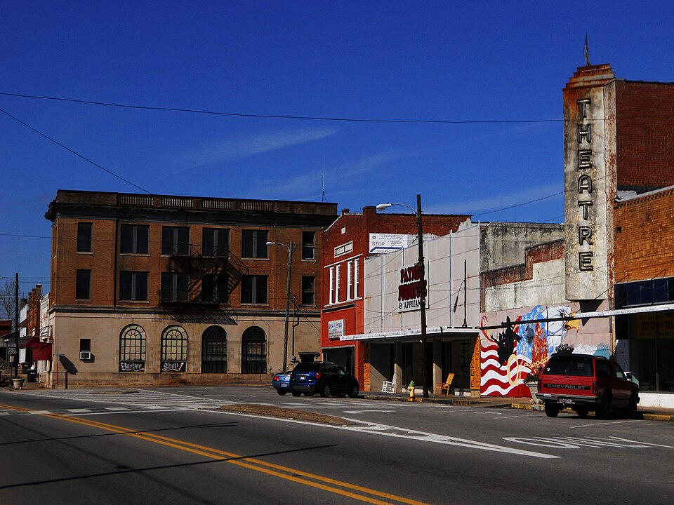
| June 2006 | Thunderstorm Wind | Roanoke | $20,000 | Numerous trees and power lines were blown down. The windows of a downtown building were blown out, and a plywood wall of a theater were blown out. |
| June 1998 | Thunderstorm Wind | Roanoke | $20,000 | Trees and power lines were down and major damage was done to a barn in Roanoke. |
| March 1996 | Hail | Roanoke | $10,000 | no account filed |
| March 2003 | Hail | Roanoke | $7,000 | Golf ball size hail fell in and around the city of Roanoke. |
| July 2006 | Thunderstorm Wind | Roanoke | $5,000 | Trees and power lines were blown down about 2 miles north of Roanoke. The damage was about 1 mile wide. |
| June 1998 | Thunderstorm Wind | Roanoke | $5,000 | Trees were down in Roanoke and Wadley. |
| April 1998 | Hail | Roanoke | $4,000 | Larger than quarter size hail was reported in Roanoke. |
| May 2011 | Thunderstorm Wind | Roanoke | $3,000 | Trees and power lines were blown down around the city of Roanoke. |
| May 2001 | Hail | Roanoke | $3,000 | Golf ball size hail was reported on CR 87 in the eastern part of Randolph County. |
| October 1997 | Hail | Roanoke | $3,000 | Hail the size of quarters was reported in the northern and southern part of Roanoke. |
| July 2008 | Thunderstorm Wind | Roanoke | $2,000 | Several trees and power lines were blown down in and just east of Roanoke. |
| May 1995 | Hail | Roanoke | $2,000 | Quarter-size hail was reported seven miles northeast of Roanoke at the Springfield community and along Highway 87 in Roanoke. |
| June 2002 | Thunderstorm Wind | Roanoke | $2,000 | no account filed |
| July 2002 | Thunderstorm Wind | Roanoke | $2,000 | no account filed |
| February 2025 | Thunderstorm Wind | Roanoke | - | Trees were downed in various locations across Randolph County. |
| May 2023 | Thunderstorm Wind | Roanoke | - | Numerous trees uprooted in Roanoke. |
| January 2020 | Thunderstorm Wind | Roanoke | - | Several trees uprooted in the town of Roanoke. |
| March 2020 | Thunderstorm Wind | Roanoke | - | Several trees uprooted and power lines downed in the city of Roanoke. |
| June 2013 | Thunderstorm Wind | Roanoke | - | A large tree was uprooted on the west side of Roanoke on Highway 22. |
| June 2013 | Thunderstorm Wind | Roanoke | - | Trees were uprooted in several locations across the southern part of Randolph County. |
| January 2012 | Flash Flood | Roanoke | - | Heavy rain resulted in street flooding in Roanoke for several hours. |
| April 2011 | Hail | Roanoke | - | One inch hail was reported in Roanoke, Wadley, and Corinth in Randolph County. |
| November 2006 | Flash Flood | Roanoke | - | Satterwhite Street, in Roanoke, was temporarily closed due to flooding from heavy rainfall. |
| February 2005 | Hail | Roanoke | - | Penny size hail was reported in eastern Randolph County near the Georgia state line. |
| March 2003 | Hail | Roanoke | - | Penny to quarter size hail was reported in and around Roanoke. |
| May 2003 | Hail | Roanoke | - | Penny size hail was observed near Roanoke. |
| November 2002 | Hail | Roanoke | - | Dime size hail fell in Roanoke. |
| March 2000 | Hail | Roanoke | - | Dime size hail fell in the Broughton Ridge community. In some spots, the hail was completely covering the ground. |
| July 1999 | Hail | Roanoke | - | Dime to nickel size hail was reported in Roanoke. |
| July 1998 | Hail | Roanoke | - | Dime size hail was reported at Rock Mills. |
| May 1995 | Hail | Roanoke | - | Quarter-size hail was reported seven miles northeast of Roanoke at the Springfield community and along Highway 87 in Roanoke. |
| April 2017 | Hail | Roanoke | - | no account filed |
| March 2015 | Hail | Roanoke | - | no account filed |
| April 2011 | Hail | Roanoke | - | no account filed |
| April 2008 | Hail | Roanoke | - | no account filed |
| May 2007 | Hail | Roanoke | - | no account filed |
| April 2006 | Hail | Roanoke | - | no account filed |
| April 2006 | Hail | Roanoke | - | no account filed |
| April 2006 | Hail | Roanoke | - | no account filed |
| April 2002 | Hail | Roanoke | - | no account filed |
| June 2002 | Hail | Roanoke | - | no account filed |
| July 2002 | Hail | Roanoke | - | no account filed |
 Block