 Block
From the record
14 National Register listings published here.
Sources: the National Register database, National Park Service
48 topographic sheets and 5 fire insurance atlases across 1 place.
14 National Register listings published here.
Sources: the National Register database, National Park Service
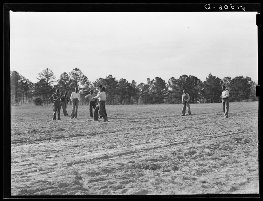
Taken for the Office of War Information and the Farm Security Administration, who photographed the country between 1935 and 1944. Works of United States government photographers, with no known restriction on use. Each opens its catalogue record.
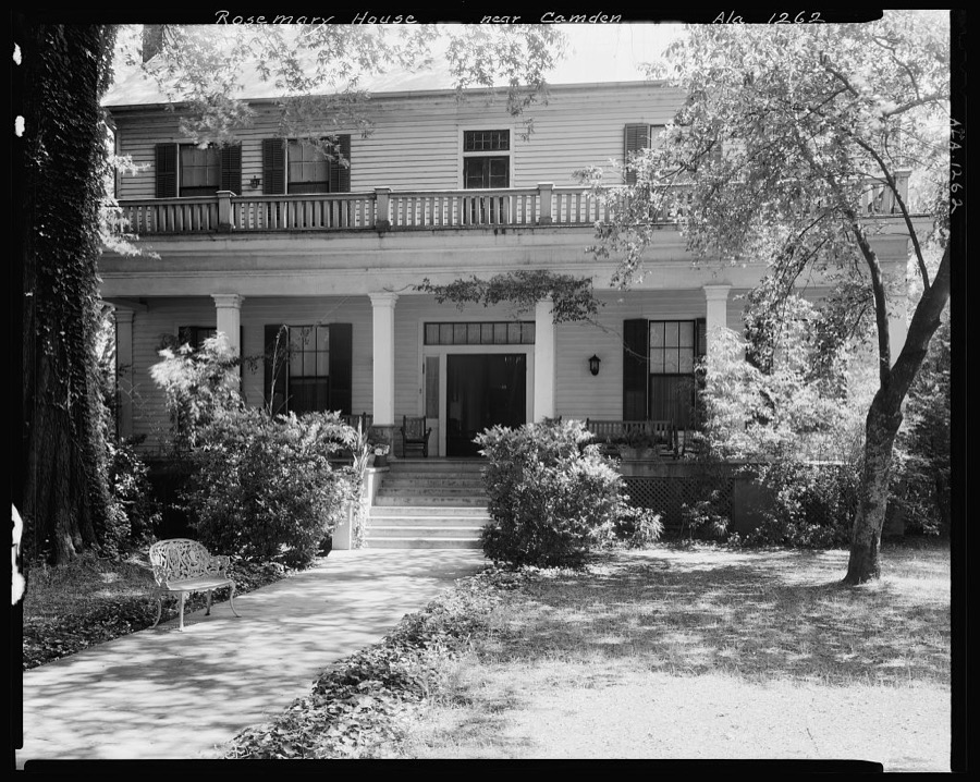



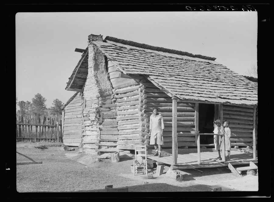
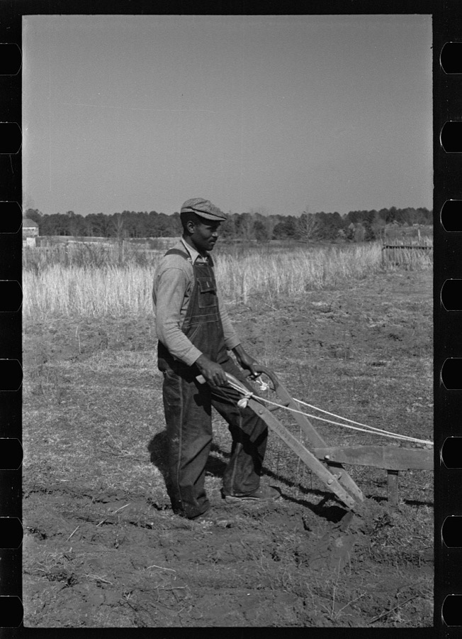

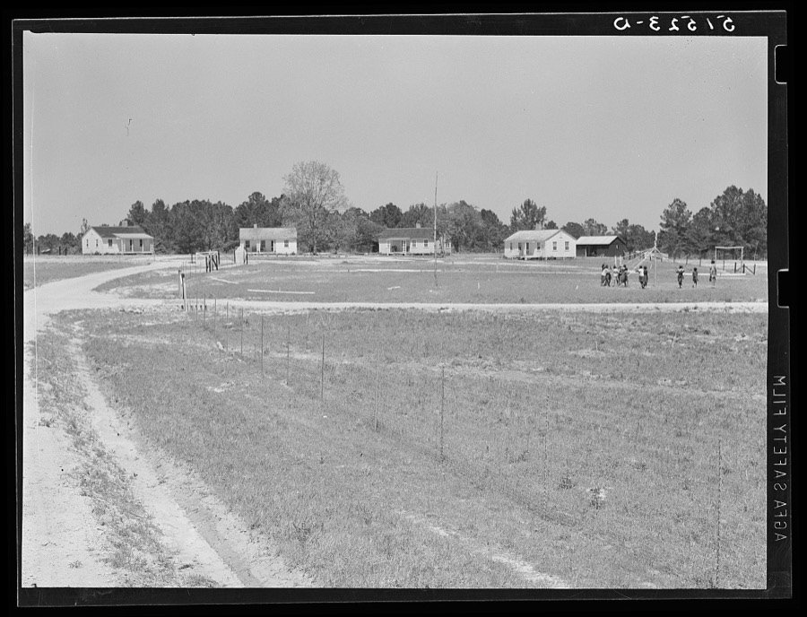
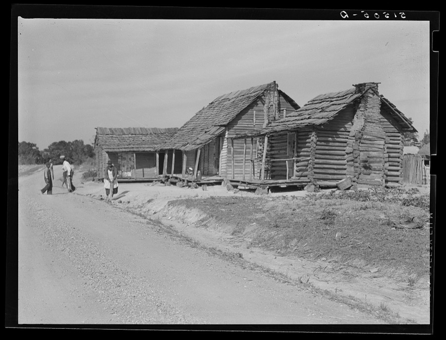
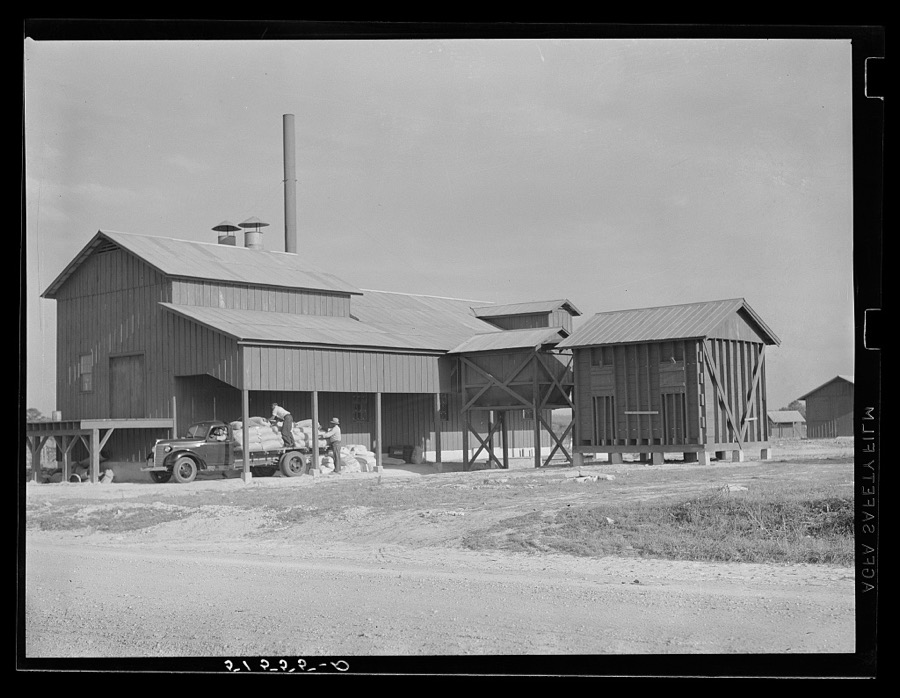

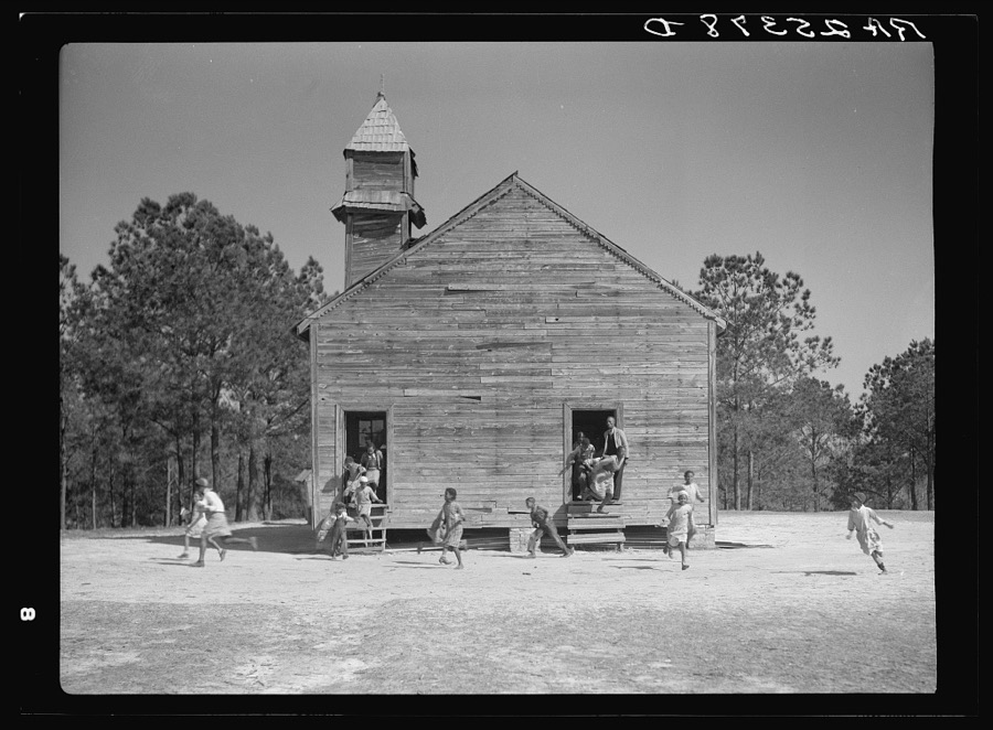
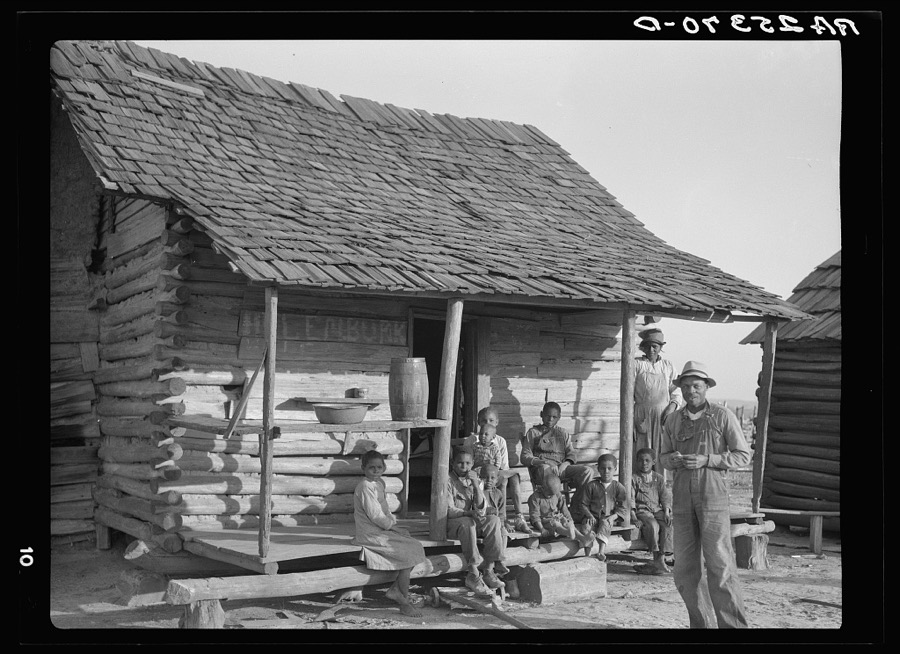
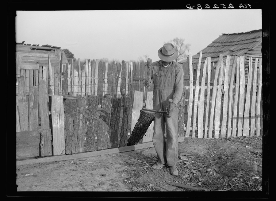


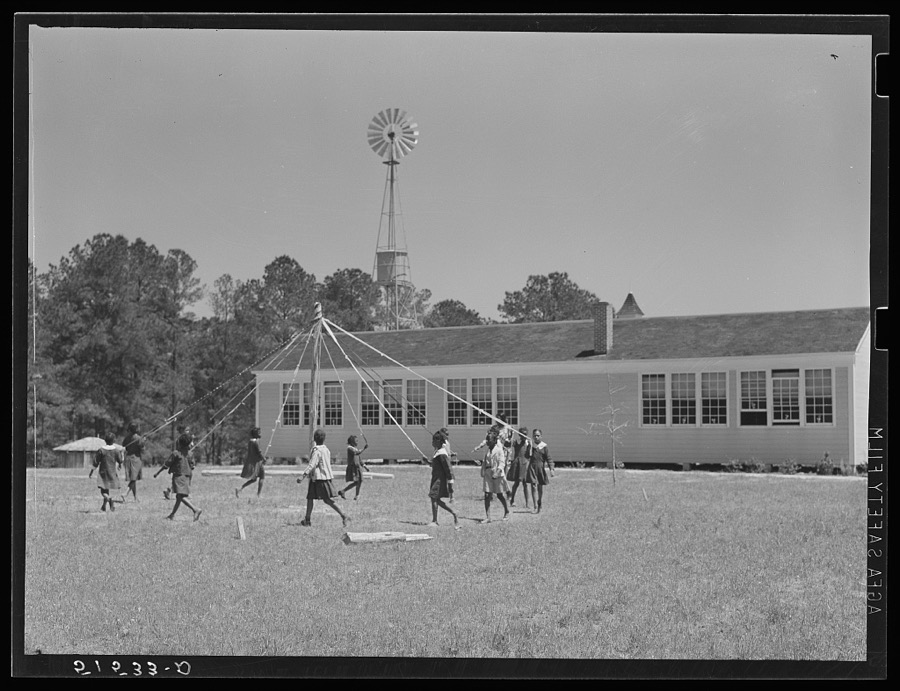

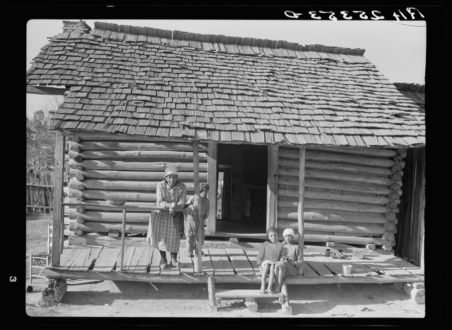
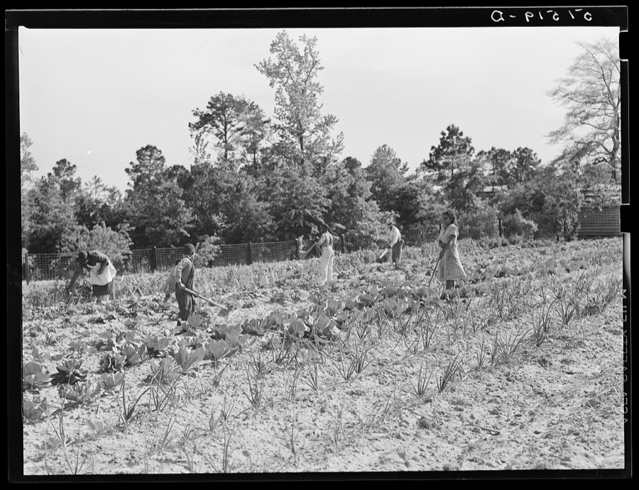

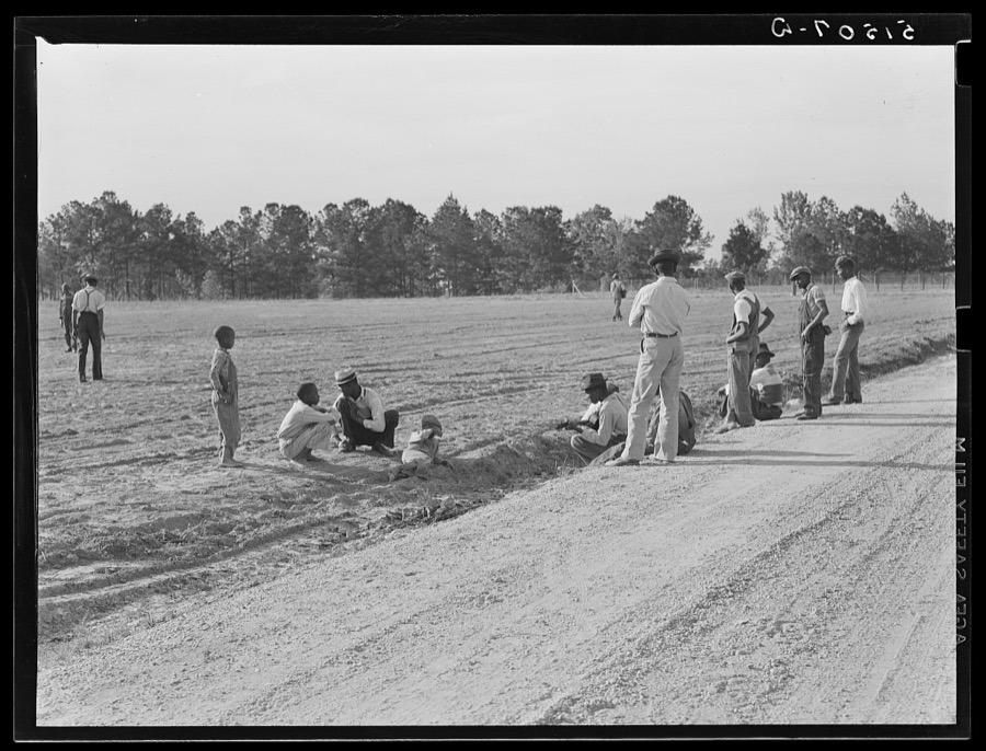
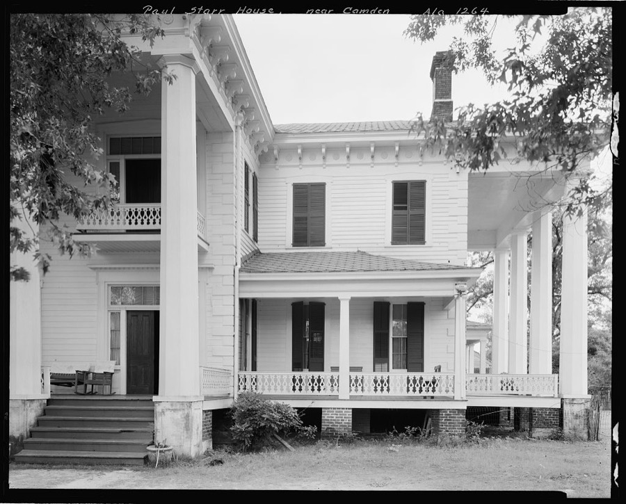


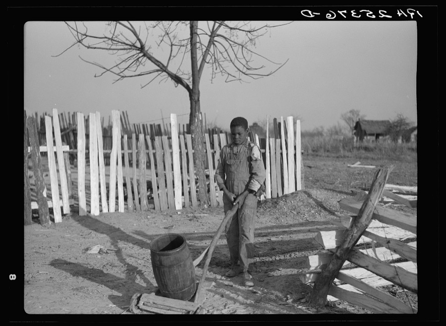


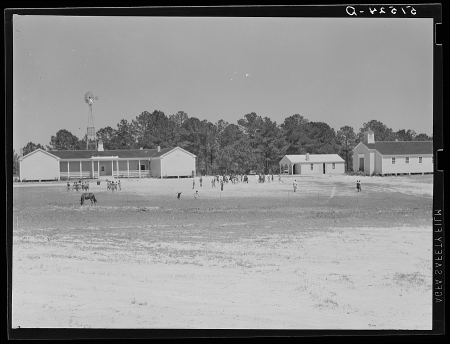
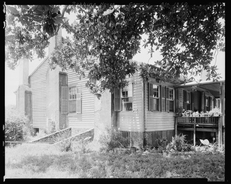

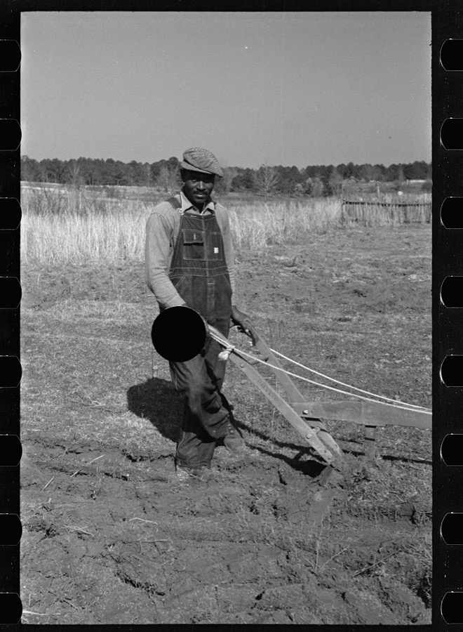


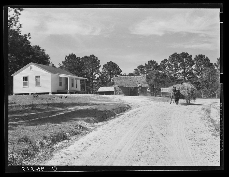
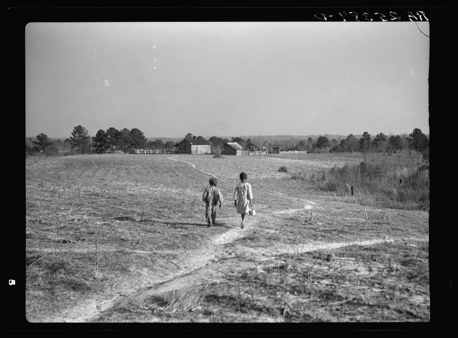



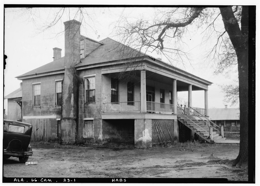
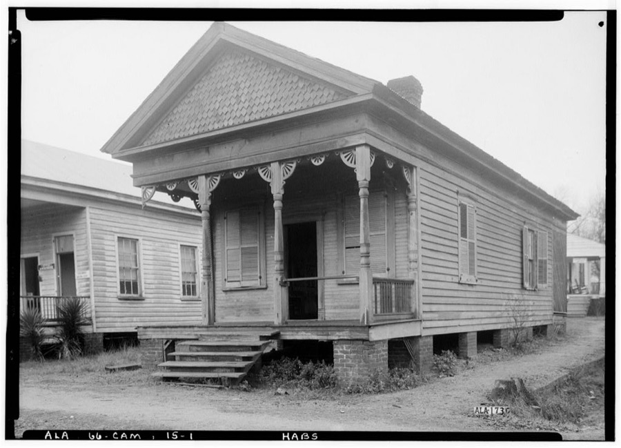
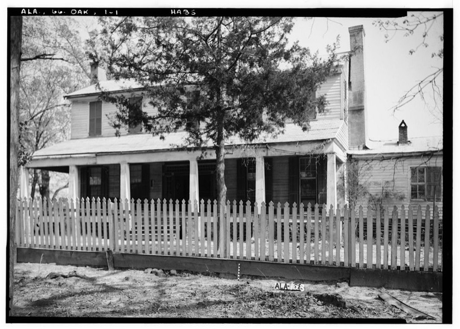
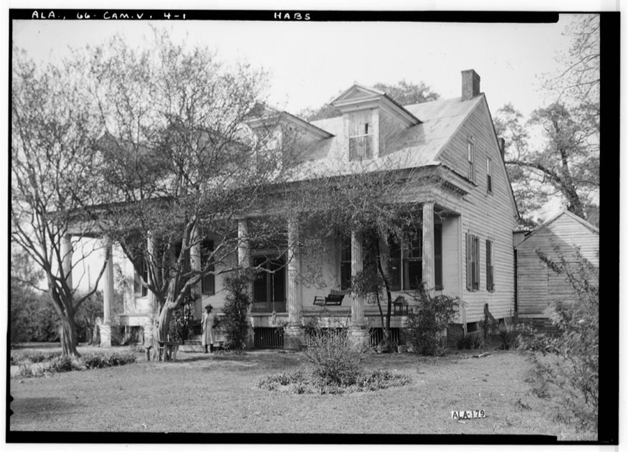
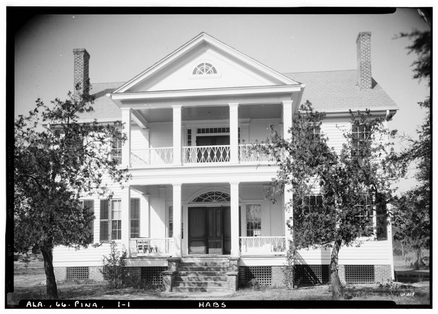
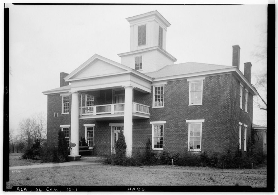
Every property in this county listed on the National Register of Historic Places, with the year it was listed and the federal nomination document.
| Photograph | Property | Type | Listed | Reference |
|---|---|---|---|---|
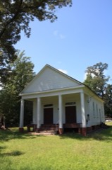 | Ackerville Baptist Church of Christ | building | 2003 | 03000228 |
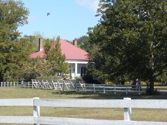 | William King Beck House | district | 1993 | 93000421 |
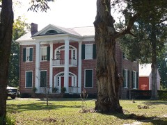 | Tristram Bethea House | building | 1985 | 85001501 |
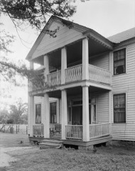 | Dry Forks Plantation | building | 1999 | 99000250 |
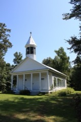 | Furman Historic District | district | 1999 | 99000249 |
 | Hawthorn House | building | 1985 | 85000452 |
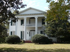 | Liberty Hall | building | 1984 | 84000751 |
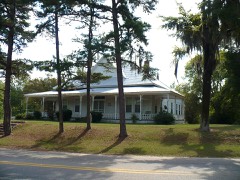 | Oak Hill Historic District | district | 1998 | 98000711 |
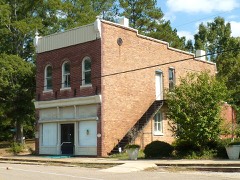 | Pine Apple Historic District | district | 1999 | 99000248 |
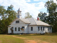 | Prairie Mission | building | 2001 | 01001171 |
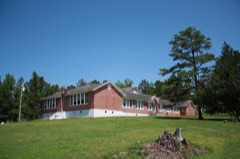 | Snow Hill Normal and Industrial Institute | district | 1995 | 95000146 |
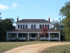 | Tait-Ervin House | building | 1995 | 95000147 |
 | Wilcox County Courthouse Historic District | district | 1979 | 79000405 |
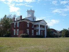 | Wilcox Female Institute | building | 1975 | 75000330 |
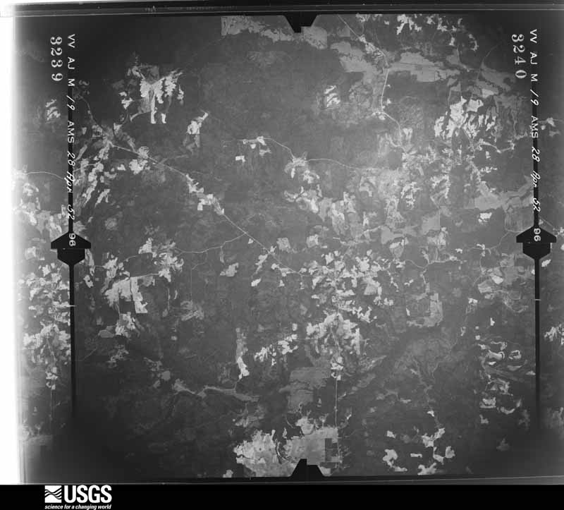
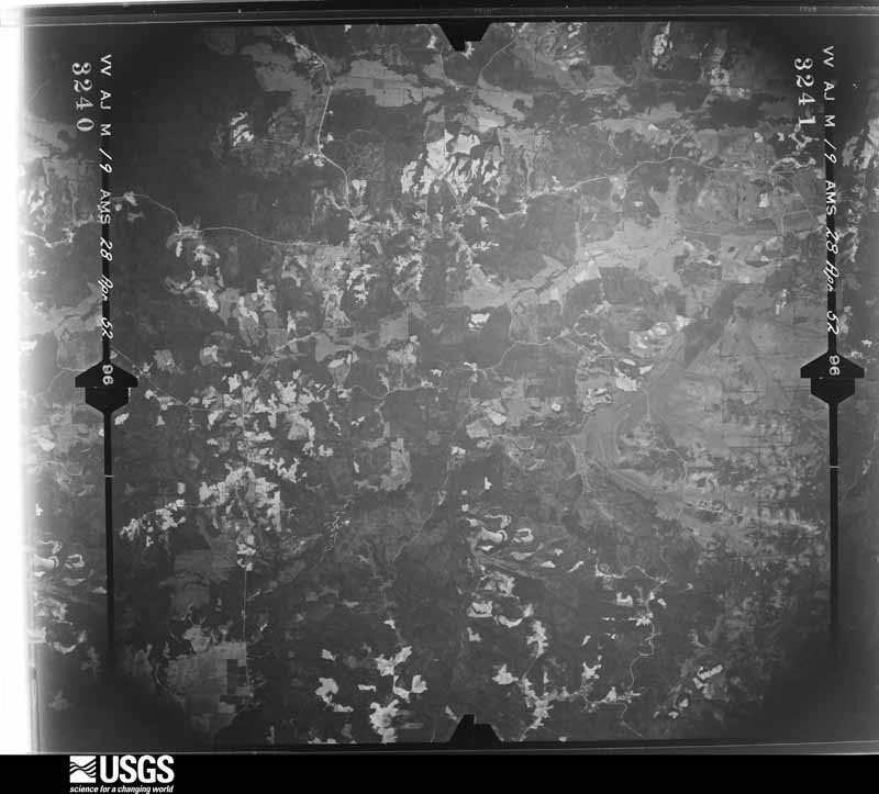
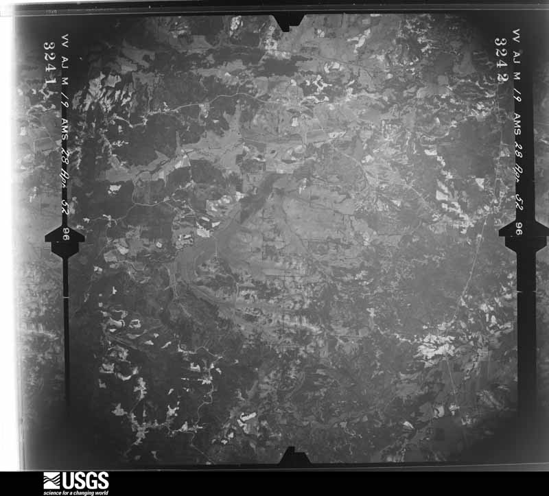
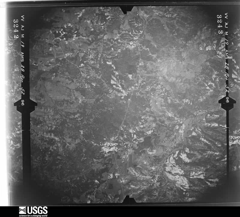
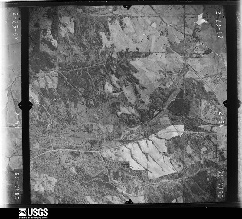
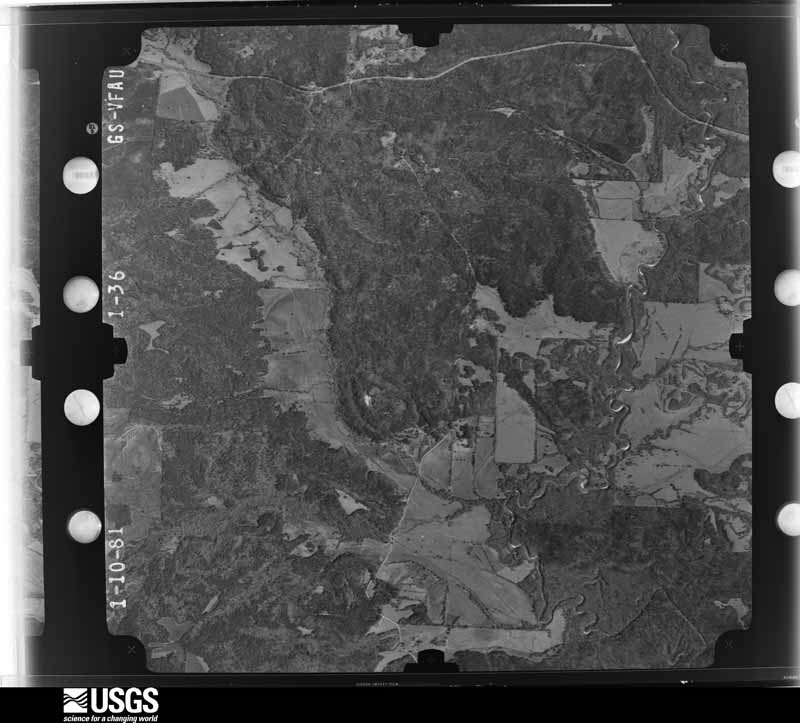
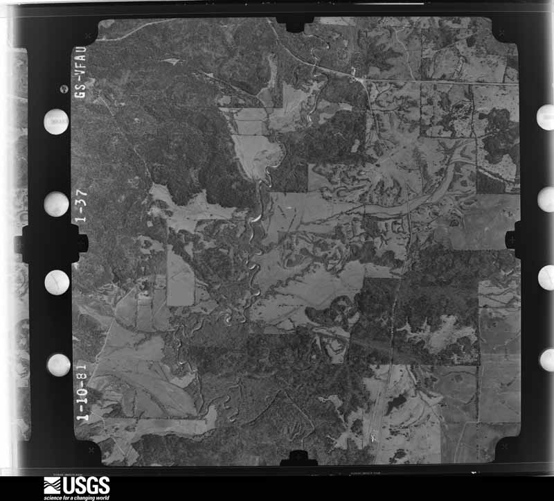
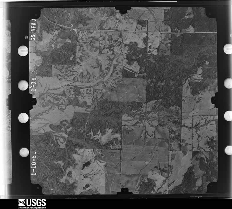
Flown by the U.S. Geological Survey between 1937 and 1989, the Aerial Photo Single Frames collection is the definitive mid-century view of the land: fields, roads and rivers as the camera saw them. The Survey holds 1,465 frames inside the rectangle that bounds this county; the 28 frames below were taken over the county itself, chosen across the decades of flights (at most four a year from that rectangle), so one flight cannot crowd out the rest. The full set is free to browse and download at EarthExplorer under the dataset Aerial Photo Single Frames.
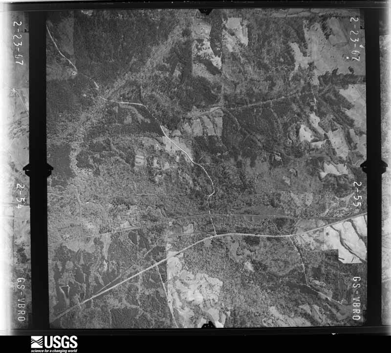
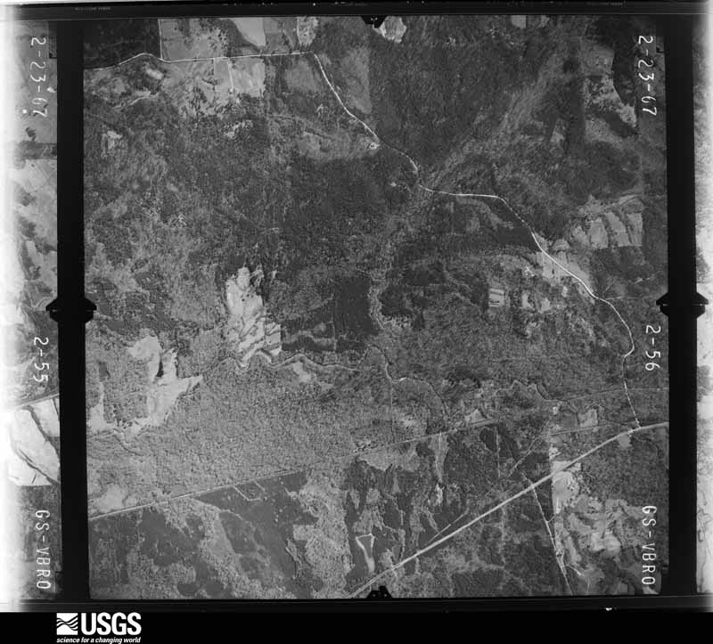
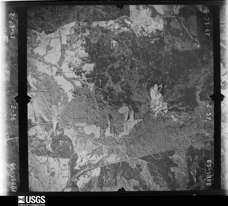
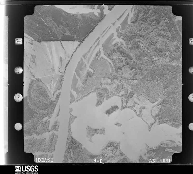
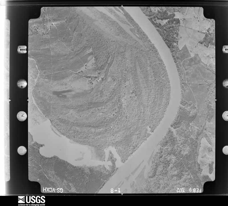
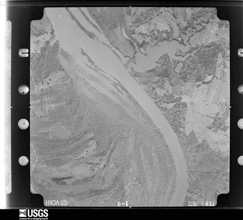
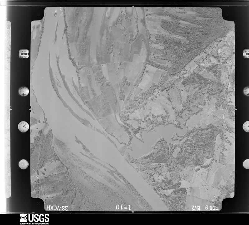
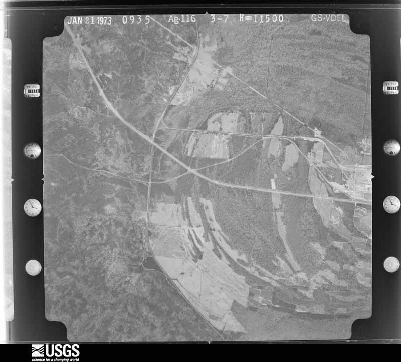
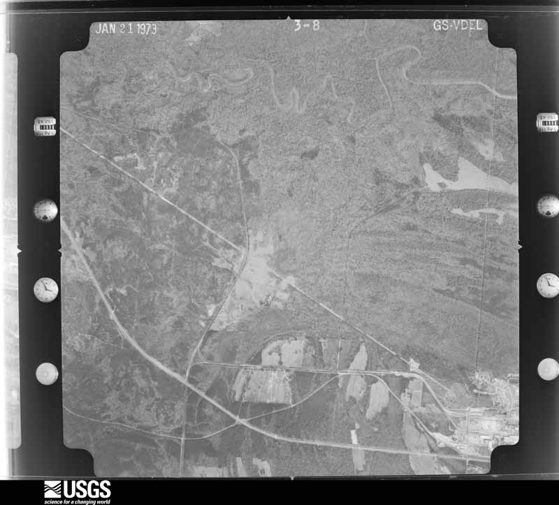
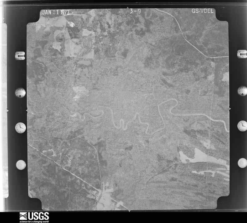
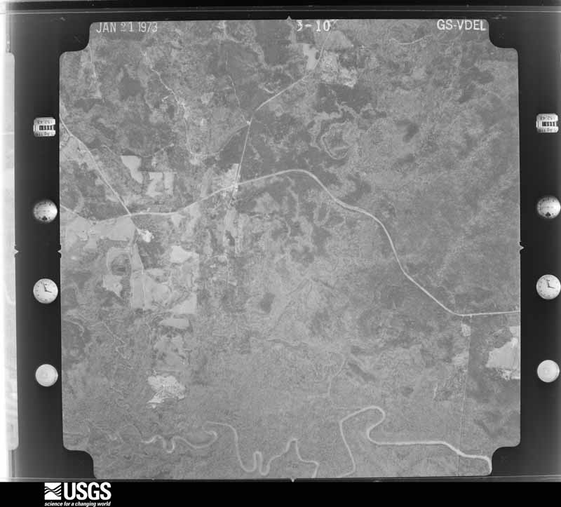
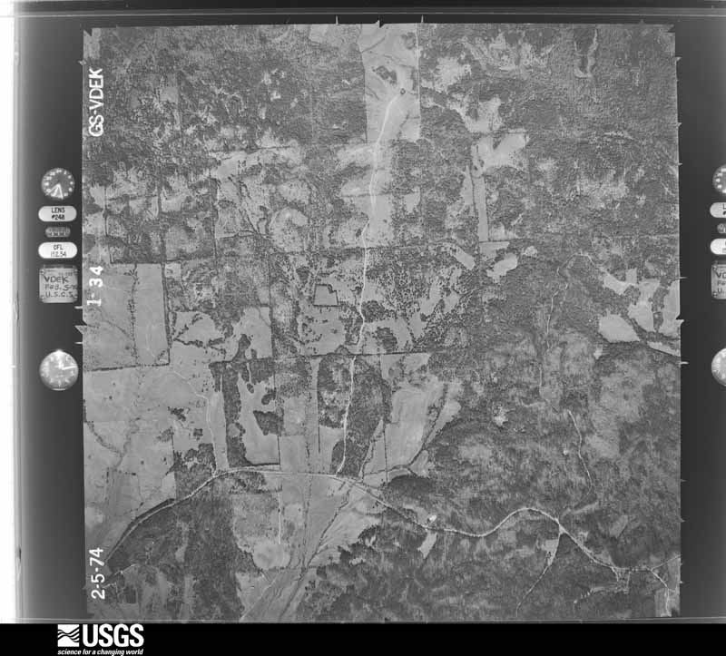
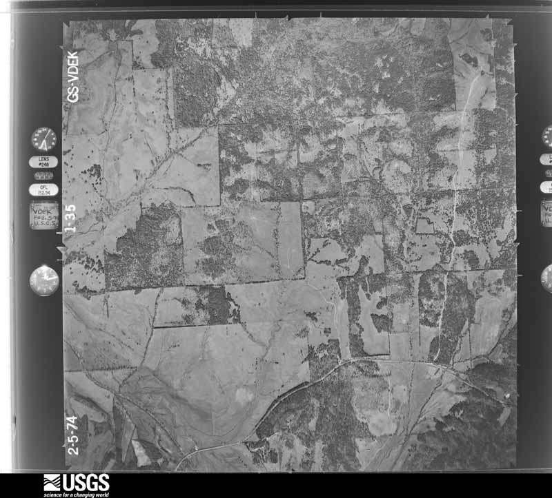
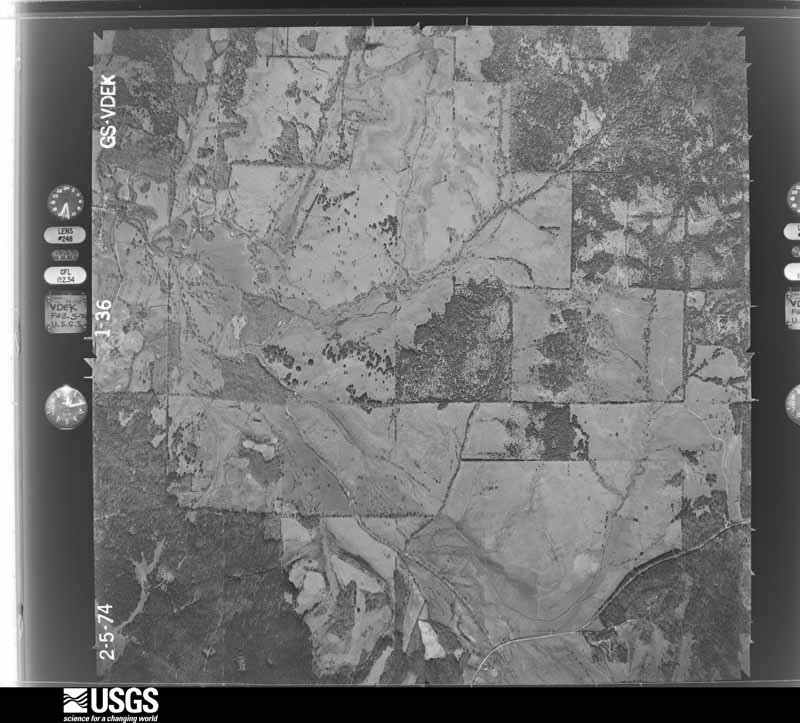
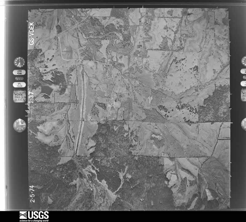
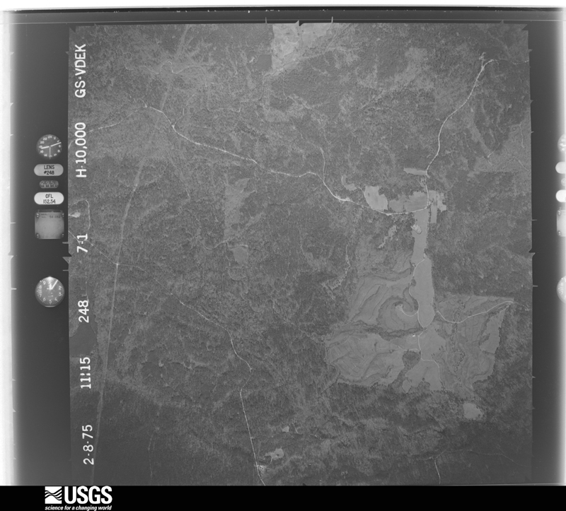
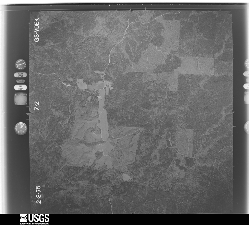
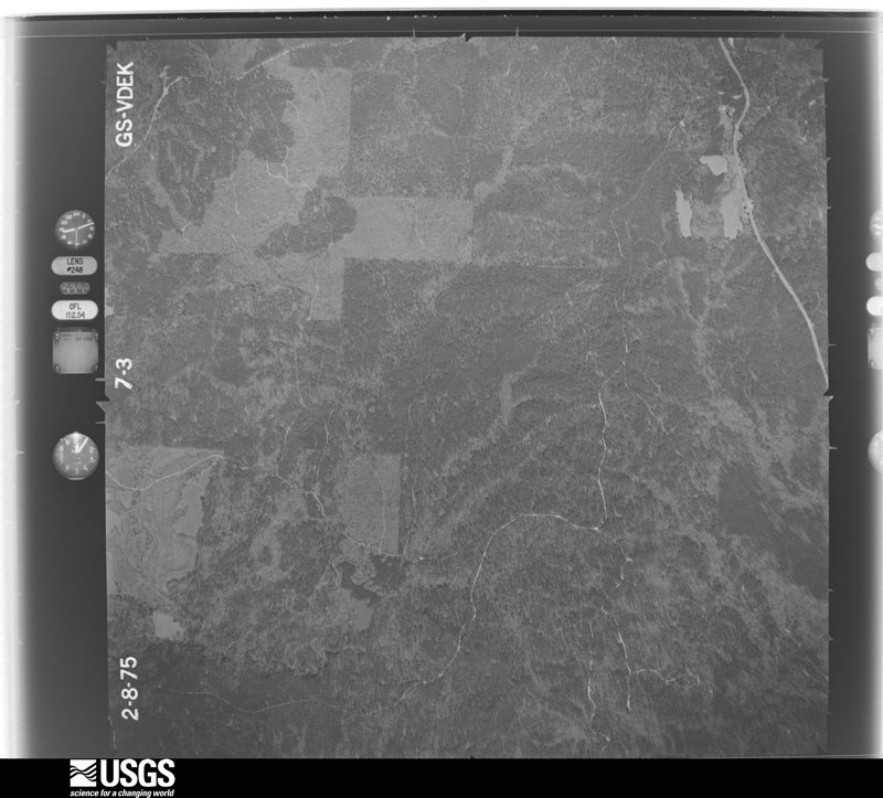
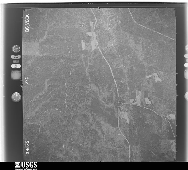
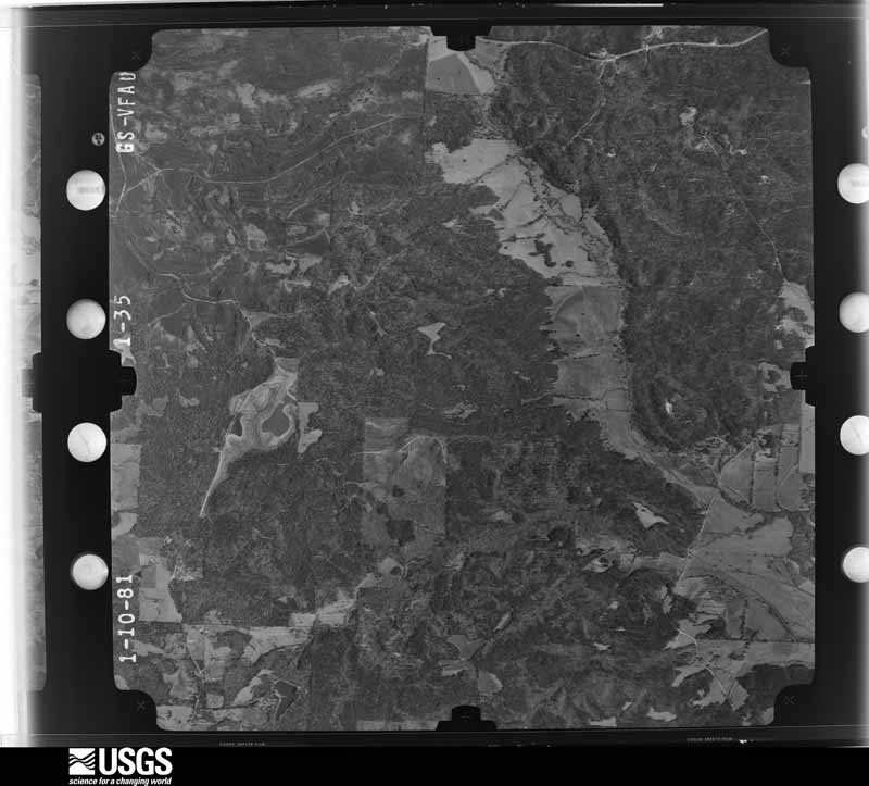
The thermometers that kept this county's weather, and the gages that measured the flow of its streams, as the federal records hold them. The extremes below are measured values from those records, not estimates.
Who lived here in 1950, one enumeration district at a time, as the Census Bureau described each district. Each row opens its official National Archives result, with Population Schedules and ED Maps available there.
Every wildfire the federal occurrence database records inside this county: 904 of them, burning about 8,237 acres. 19 started naturally and 114 were recorded as arson. Each settlement page carries the fires within five miles of it.
| Reported cause | Fires |
|---|---|
| Debris and open burning | 308 |
| Missing data/not specified/undetermined | 207 |
| Equipment and vehicle use | 148 |
| Arson/incendiarism | 114 |
| Recreation and ceremony | 40 |
| Misuse of fire by a minor | 22 |
| Natural | 19 |
| Railroad operations and maintenance | 16 |
| Smoking | 12 |
| Power generation/transmission/distribution | 12 |
| Other causes | 4 |
| Fireworks | 2 |
The five largest, by the area the report gives. None of them was recorded as arson.
| Date | Cause | Size | Reported by | Name on the report |
|---|---|---|---|---|
| 6 November 2016 | Missing data/not specified/undetermined | 300 acres | Alabama Forestry Commission | 20161106-10 |
| 10 March 2009 | Equipment and vehicle use | 259 acres | Alabama Forestry Commission | 380 WHITE LILLY RD, AL |
| 18 June 2007 | Debris and open burning | 200 acres | Alabama Forestry Commission | WEYERHAEUSER-2 |
| 28 November 2016 | Equipment and vehicle use | 189 acres | Alabama Forestry Commission | 20161128-25 |
| 17 August 2019 | Missing data/not specified/undetermined | 168 acres | Alabama Forestry Commission | 20190817-3 |
| 28 November 2016 | Missing data/not specified/undetermined | 165 acres | Alabama Forestry Commission | 20161128-97 |
| 22 October 2016 | Equipment and vehicle use | 154 acres | Alabama Forestry Commission | 20161022-27 |
| 17 September 2010 | Missing data/not specified/undetermined | 138 acres | Alabama Forestry Commission | THE VINCENT FIRE |
Every settlement page carries the fires within five miles of it - see the settlement index below.
The NOAA Storm Events Database holds 146 reports for this county, causing 1 death, 4 injuries and about $2,961,000 in recorded property damage. Each settlement page carries the reports that name it.
| Kind of event | Reports |
|---|---|
| Thunderstorm Wind | 82 |
| Hail | 36 |
| Tornado | 15 |
| Flash Flood | 12 |
| Lightning | 1 |
The most serious of them, by death, then injury, then recorded damage. The accounts are quoted exactly as the forecast office filed them.
| When | Event | Place named | Harm | What the report says |
|---|---|---|---|---|
| March 2007 | Tornado (EF4) | Prairie | 1 killed, 2 hurt, $2,000,000 | A significant tornado first touched down around 1227 pm at State Highway 28 near Miller's Ferry dam. The tornado then tracked northeast across William Bill Dannelly Reservoir moving ashore on Sand Island Drive. This is where most of the severe damage occurred with numerous homes damaged or destroyed.|One resident had arrived at his home on the lake to eat lunch when the tornado hit and he was killed when his newer model manufactured home was destroyed. The straps holding the home down all snapped in the same place. He was thrown out of his home and later found in the debris. Neighbors next door had sought shelter in an underground storm shelter outside their house seconds before the tornado hit. When they safely emerged from the shelter, they found their home destroyed. Most of the homes on Sand Island are vacation homes with part-time residents. If the tornado had struck on the weekend when more people are present, the loss of life would likely have been greater.|Around 40 homes(four of these were slab homes)were damaged or destroyed along Sand Island Drive with some of the debris scattered up to two miles downstream. The tornado continued quickly to the northeast through sparsely populated areas. Damage did occur to homes and hunting camps along this path. However, the damage here was only rated as EF-0 and EF-1 on the Enhanced Fujita Scale. The tornado crossed into Dallas County.|In all, one person died and two people were slightly injured by the tornado. The injuries occurred along Sand Island Drive when a single wide trailer was destroyed with the occupants being thrown from the trailer. They were protected from flying debris by part of the trailer that had fallen on top of them. The highest wind speed of the tornado was estimated at 185 mph.| |
| November 1983 | Tornado (F2) | not stated | 2 hurt, $250,000 | no account filed |
| April 2007 | Thunderstorm Wind | Fatama | $200,000 | The Vredenburgh storm took on a bow-shaped appearance again as it entered Wilcox County and did sporadic damage to trees for another five to six miles. The storm continued northeast and crossed State Highway 265. The storm damaged some out buildings on County Road 45. The storm lost its intensity near County Road 45 and no other damage was found north of County Road 45. |
| April 2018 | Flash Flood | Pine Hill | $100,000 | Significant flooding was reported near Highway 5 in Pine Hill. Several culverts were washed out. |
| June 1998 | Thunderstorm Wind | Countywide | $50,000 | A line of severe thunderstorms moved through the county between 1130 pm and 1225 am. Trees and power lines were blown down throughout the county. No major injuries were reported. |
| June 2001 | Thunderstorm Wind | Camden | $30,000 | Trees were blown down and some roofs of houses were damaged, mainly due to falling trees, as strong thunderstorms moved through the area. A roof was also peeled off a larger building in the downtown area. |
| March 2016 | Lightning | Camden | $25,000 | Lightning struck a house and caused a fire. |
| March 1976 | Tornado (F0) | not stated | $25,000 | no account filed |
| June 1957 | Tornado (F2) | not stated | $25,000 | no account filed |
| February 2008 | Thunderstorm Wind | Boykin | $15,000 | no account filed |
| August 1996 | Flash Flood | Coy | $15,000 | no account filed |
| March 2017 | Thunderstorm Wind | Pine Hill | $10,000 | Winds estimated at 60 mph downed two trees with one falling on a house. |
| March 2006 | Thunderstorm Wind | Pine Hill | $10,000 | High winds from a thunderstorm blew down several trees and power lines in Pine Hill. A tin roof was also blown off a building. |
| April 2003 | Tornado (F0) | Millers Ferry | $10,000 | A weak tornado briefly touched down near Millers Ferry. The tornado blew down several trees and damaged a large storage building. |
| January 2002 | Thunderstorm Wind | Boykin | $10,000 | High winds from a line of thunderstorms blew down trees and power lines along County Road 29 between Boykin and Rehoboth. |
| March 2001 | Thunderstorm Wind | Alberta | $10,000 | High thunderstorm winds blew trees down just south of Alberta. |
| March 2001 | Thunderstorm Wind | Annemanie | $10,000 | Trees and power lines were blown down by high thunderstorm winds. |
| March 2001 | Flash Flood | Countywide | $10,000 | no account filed |
| April 2005 | Thunderstorm Wind | Camden | $8,000 | Trees and power lines were blown down by high winds from a thunderstorm just southeast of Camden. |
| July 2004 | Thunderstorm Wind | Pine Hill | $8,000 | High winds from a thunderstorm blew down several trees near Pine Hill. |
| July 2002 | Thunderstorm Wind | Camden | $8,000 | Trees were blown down by high winds from a thunderstorm near Camden. |
| July 2002 | Thunderstorm Wind | Camden | $8,000 | High winds from a thunderstorm blew down several trees near Camden. |
| April 1995 | Thunderstorm Wind | Camden | $8,000 | Alabama Power Company reported power lines and trees down in Camden and in the Millers Ferry areas. |
| March 1996 | Thunderstorm Wind | Yellow Bluff | $7,500 | no account filed |
| June 2018 | Thunderstorm Wind | Camden | $5,000 | Winds estimated at 70 mph downed numerous trees and power lines across the county. |
| February 2016 | Thunderstorm Wind | Oakhill | $5,000 | Trees down in rose bud along County Road 51. |
| June 2015 | Thunderstorm Wind | Boykin | $5,000 | Several trees were blown down by severe thunderstorm wind gusts along Alabama Highway 41 near the Dallas County line. |
| June 2015 | Thunderstorm Wind | Camden Muni Arpt | $5,000 | Severe thunderstorm winds blew down trees along Kennedy Street in Camden. |
| April 2003 | Thunderstorm Wind | Catherine | $5,000 | Several trees were blown down by high winds from a thunderstorm near Catherine. |
| January 2001 | Thunderstorm Wind | Pine Hill | $5,000 | Trees were reported downed by strong thunderstorm winds just south of the community. |
| June 2001 | Thunderstorm Wind | Sunny South | $5,000 | Several trees were reported down along State Road 5 after strong thunderstorms moved through the area. |
| June 2001 | Thunderstorm Wind | Pine Hill | $5,000 | Strong thunderstorm winds downed several trees around the community. |
| March 2000 | Thunderstorm Wind | Pine Hill | $5,000 | High thunderstom winds blew trees and power lines down at the intersection of State Highway 29 and County Road 21. |
| January 2000 | Thunderstorm Wind | Millers Ferry | $5,000 | Trees and power lines were blown down near Millers Ferry. |
| December 2000 | Thunderstorm Wind | Camden | $5,000 | Trees were blown down near Camden by high thunderstorm winds. |
| July 1995 | Thunderstorm Wind | Camden | $5,000 | Numerous trees up to a foot in diameter were downed along Highway 162 in the western part of Wilcox County. |
| June 1999 | Thunderstorm Wind | Pine Apple | $4,000 | High winds blew several trees down. |
| June 1999 | Thunderstorm Wind | Camden | $4,000 | High winds blew several trees down. |
| February 2016 | Thunderstorm Wind | Pine Hill | $3,000 | Winds estimated at 60 mph downed trees along Crawford and CR 1. |
| June 2013 | Thunderstorm Wind | Millers Ferry | $3,000 | Winds estimated at 60 mph downed a tree and several limbs. |
| March 2005 | Hail | Camden | $3,000 | Golfball size hail fell just south of Camden. Some residences suffered roof damage and a few vehicles were damaged by the large hail. |
| August 1999 | Thunderstorm Wind | Boykin | $3,000 | Several trees were blown down just south of Boykin. |
| April 1999 | Thunderstorm Wind | Camden | $3,000 | High winds blew several trees down 6 miles east of Camden. |
| January 1998 | Thunderstorm Wind | Fatama | $3,000 | Several trees were blown down along State Highway 265 just north of the Fatama community. |
| May 1998 | Thunderstorm Wind | Camden | $3,000 | Several trees were blown down near Camden. |
| September 1977 | Tornado (F1) | not stated | $2,500 | no account filed |
| July 2013 | Thunderstorm Wind | Camden | $2,000 | Winds estimated at 60 mph downed trees. |
| June 1999 | Flash Flood | Southwest Portion | $2,000 | Heavy rainfall in the southwest part of the county caused several roads to become flooded. These roads had to be closed for more than an hour, until the heavy rainfall moved out of the area. Weather radars estimated that four to six hours of rain fell across the area in a four hour period. Most of the rain fell near the Alabama River and the rainfall quickly ran into the basin. |
| April 1997 | Thunderstorm Wind | Pine Hill | $2,000 | Several trees were blown down along State Highway 10 between Pine Hill and Yellow Bluff. |
| August 1995 | Thunderstorm Wind | Pine Hill | $2,000 | Trees and power lines were blown down along State Highway 5 in Pine Hill. |
| October 1995 | Thunderstorm Wind | Hybart | $2,000 | Trees and power lines were blown down along Highway 41 between Hybart and Dry Forks. |
| January 1997 | Thunderstorm Wind | Camden | $2,000 | no account filed |
| January 1996 | Thunderstorm Wind | Camden | $2,000 | no account filed |
| May 1997 | Thunderstorm Wind | Alberta | $1,000 | Several trees were blown down near Alberta. |
| July 1995 | Thunderstorm Wind | Coy | $1,000 | Several trees were blown down across the highway near Coy. |
| July 1995 | Thunderstorm Wind | Camden | $1,000 | Several trees were blown down in and around Camden. |
| April 2025 | Tornado (EF1) | Pine Hill | - | The tornado began in the woods behind the intersection of Old Selma Rd and Highway 5 where it resulted in snaps of large hardwood limbs and some uprooted small trees. An unattached awning to a gas station was lofted and tossed about 50 yards into a tree. This awning was closer to a carport and thus damage was deemed on lower bound. The tornado continued across highway 5 resulting in roof damage to a restaurant and continued tree damage with uprooted and some snapped hardwood trees. The tornado continued across highway 10, producing tree damage. The most significant damage occurred as the tornado crossed Sandpit Rd. Numerous uprooted and snapped large hardwood and softwood trees occurred at this location. Some patches were rather significant snapping; however, just not enough to warrant a higher rating. A single wide manufactured home was rolled at this location; however, the home was not tied down and sitting on the side of the hill. As a result, a lower bound estimate was given for this damage. The tornado likely continued northeast into the woods where survey crews were unable to reach. After review of available Sentinel satellite imagery, the tornado track was determined to have continued northeast, likely lifting just prior to crossing the Southern Railroad east of Gwen Road. Additional adjustments may occur as more high-resolution satellite imagery becomes available. |
| April 2025 | Tornado (EF1) | Pine Hill | - | The tornado likely began near Godboldt Ave and Cedar Ave in Pine|Hill where a few trees were uprooted in a weakly convergent|pattern. The tornado then continued east towards county road|5 producing weak tree damage. The tornado quickly intensified and|reached peak intensity as it crossed highway 5 resulting in|several large softwood pines snapped and minor damage to a home.|The tornado then quickly crossed highway 5 where it quickly|dissipated. |
| August 2024 | Thunderstorm Wind | Gastonburg | - | High winds downed ten trees on CR30. |
| August 2024 | Thunderstorm Wind | Lower Peach Tree | - | High winds downed trees in several spots along CR35 (Old Line Rd) in Clarke County and along CR1 in Wilcox County. |
The Survey's mineral resources record lists 5 workings inside this county. 2 still produce and 3 are closed or unrecorded. Each settlement page carries the workings within five miles of it.
| Commodity | Workings |
|---|---|
| Bloating Material | 2 |
| Sand and Gravel, Construction | 1 |
| Zirconium, Kyanite, Titanium, Metal | 1 |
| Bromine | 1 |
| Stone, Crushed/Broken | 1 |
The least common of them first, because a county's hundredth gravel pit says nothing its first ten did not.
| Where | Site | Commodity | Status | Recorded |
|---|---|---|---|---|
| Alabama River Gravel-Wilcox Co | Sand and Gravel, Construction, Zirconium, Kyanite, Titanium, Metal | Producer | Placer | |
| Furman Quarry and Plant | Stone, Crushed/Broken | Producer | ||
| G.W. Morgan Estate Well Number 1 | Bromine | Occurrence | 1945 | |
| Agee Property | Bloating Material | Occurrence | 1972 | |
| Taylor Property | Bloating Material | Occurrence | 1972 |
Named settlements recorded in the Geographic Names Information System, each with the topographic sheets covering it. Villages, hamlets and abandoned places alike. Each is shown with the nearest named watercourse or landform and the survey quadrangle it falls on. The 1 place that was also surveyed for fire insurance comes first, with the number of atlases and photographs held for them.
Camden census division · 36726 · On Lotties Creek · Camden South quadrangle
8 sheets, 1953 to 1986
Fire insurance: 5 atlases
Alberta census division · 36720 · On Rogers Creek · Catherine quadrangle
9 sheets, 1953 to 1986
Pine Apple census division · 36768 · On Callie Creek · Oak Hill quadrangle
7 sheets, 1953 to 1986
Alberta census division · 36728 · On Slater Branch · Catherine quadrangle
9 sheets, 1953 to 1986
Alberta census division · 36728 · On Slater Branch · Catherine quadrangle
9 sheets, 1953 to 1986
Alberta census division · 36728 · On Glover Creek · Central Mills quadrangle
11 sheets, 1953 to 1986
Pine Hill census division · 36751 · On Tiger Creek · Pine Hill quadrangle
7 sheets, 1953 to 1986
Coy-Fatama census division · 36435 · By Gullett Bluff · Camden South quadrangle
8 sheets, 1953 to 1986
Pine Apple census division · 36768 · On Bear Creek · Oak Hill quadrangle
7 sheets, 1953 to 1986
Pine Hill census division · 36722 · On James Creek · Kimbrough quadrangle
9 sheets, 1953 to 1986
Pine Hill census division · 36728 · On Graham Creek · Kimbrough quadrangle
9 sheets, 1953 to 1986
Pine Hill census division · 36751 · Near Ohio Island (historical) · Lower Peach Tree quadrangle
7 sheets, 1953 to 1986
Pine Apple census division · 36768 · On Bear Creek · Oak Hill quadrangle
7 sheets, 1953 to 1986
Coy-Fatama census division · 36726 · On East Prong Pursley Creek · Rosebud quadrangle
7 sheets, 1953 to 1986
Coy-Fatama census division · 36726 · On Bones Branch · Camden South quadrangle
8 sheets, 1953 to 1986
Pine Hill census division · 36769 · On Moccasin Creek · Pine Hill quadrangle
7 sheets, 1953 to 1986
Alberta census division · 36728 · On Shell Creek · Catherine quadrangle
9 sheets, 1953 to 1986
Pine Apple census division · 36768 · On Wildcat Creek · Pine Apple North quadrangle
7 sheets, 1953 to 1986
Pine Apple census division · 36768 · On Grindstone Creek · McWilliams quadrangle
7 sheets, 1953 to 1986
Pine Apple census division · 36768 · On Grindstone Creek · McWilliams quadrangle
7 sheets, 1953 to 1986
Pine Hill census division · 36769 · On Bear Creek · Thomasville quadrangle
8 sheets, 1953 to 1986
Pine Hill census division · 36769 · By Walnut Bluff · Coy quadrangle
7 sheets, 1953 to 1986
8 topographic sheets and 5 fire insurance atlases, 1894 to 1938
The complete index, with nothing left out. Each of these is a separate record with its own page: a federal survey report, or the case file that argued a property on to the National Register. Both are public domain and reproduced word for word.