 Block
Arkadelphia, Alabama
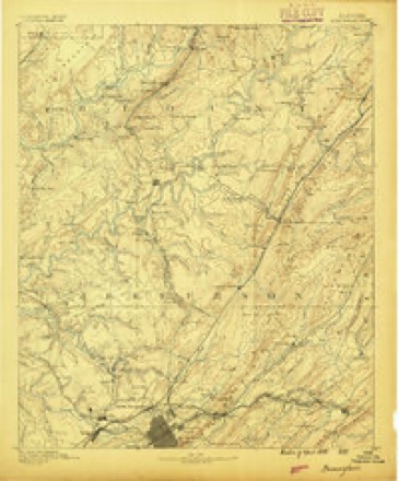
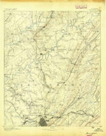
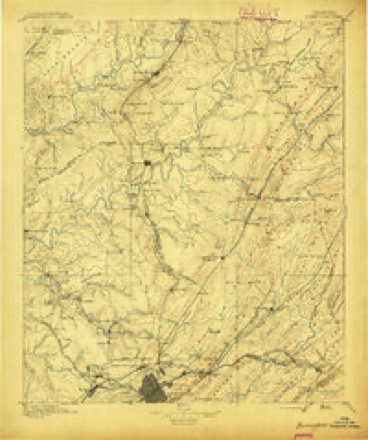
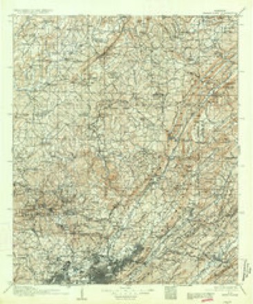
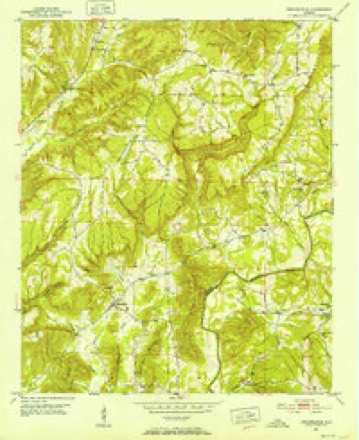
23 topographic sheets cover this place, the earliest surveyed in 1889 and the latest in 1984. It stands in the Bremen census division. It lies in ZIP code area 35077. It stands on James Creek. The Survey maps it on the Arkadelphia quadrangle. It stands 367 feet above sea level.
Topographic sheets covering this place
10 surveys from 23 printed sheetsMatched by testing this settlement's coordinate against the published boundary of every sheet in the United States Geological Survey's historical collection. Each opens the scanned sheet at the Survey.
- 1889 USGS Birmingham quadrangle1:125000
- 1892 USGS Birmingham quadrangle1:125000
- 1895 USGS Birmingham quadrangle1:125000, 2 printings
- 1907 USGS Birmingham quadrangle1:125000, 5 printings
- 1951 USGS Arkadelphia quadrangle1:24000, 5 printings
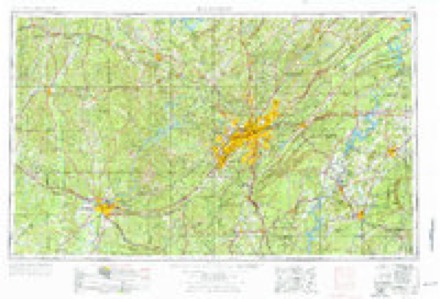
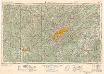
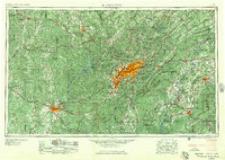
- 1953 USGS Birmingham quadrangle1:250000, 4 printings
- 1956 USGS Birmingham quadrangle1:250000
- 1957 USGS Birmingham quadrangle1:250000
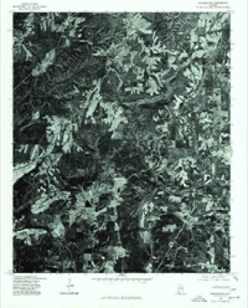
- 1975 USGS Arkadelphia quadrangle1:24000
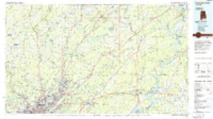
- 1984 USGS Birmingham North quadrangle1:100000, 2 printings
Fires near this place
111 since 1994Regional context, not property-specific evidence. The federal wildfire occurrence database lists 111 fires within 5 miles of Arkadelphia between 1994 and 2019, burning about 4,539 acres in total. 4 started naturally. 31 were recorded as arson. Distance is straight-line from the map coordinates, so a fire counted here may appear on a neighbouring settlement's page as well.
| Reported cause | Fires |
|---|---|
| Debris and open burning | 40 |
| Arson/incendiarism | 31 |
| Missing data/not specified/undetermined | 17 |
| Recreation and ceremony | 8 |
| Equipment and vehicle use | 6 |
| Natural | 4 |
| Smoking | 3 |
| Power generation/transmission/distribution | 1 |
| Misuse of fire by a minor | 1 |
The most recent of them, most recent first, with the day each was reported and the service that recorded it.
| Date | Cause | Size | Reported by | Name on the report |
|---|---|---|---|---|
| 7 September 1995 | Smoking | 20 acres | Alabama Forestry Commission | not named |
| 4 September 2007 | Arson/incendiarism | 1.0 acres | Alabama Forestry Commission | not named |
| 4 September 1995 | Equipment and vehicle use | 35 acres | Alabama Forestry Commission | not named |
| 30 September 1998 | Debris and open burning | under an acre | Alabama Forestry Commission | not named |
| 3 September 2000 | Arson/incendiarism | 1.0 acres | Alabama Forestry Commission | not named |
| 28 September 2014 | Missing data/not specified/undetermined | under an acre | Alabama Forestry Commission | NWR-20140928-001 |
| 26 September 2019 | Natural | 12 acres | Alabama Forestry Commission | 20190926-10 |
| 23 September 2010 | Arson/incendiarism | 10 acres | Alabama Forestry Commission | not named |
Settlements close enough to share some of these fires:
Storms near this place
21 since 1996Regional context, not property-specific evidence. The National Weather Service names Arkadelphia in 21 storm reports between 1996 and 2025: 6 thunderstorm wind, 5 hail, 5 tornado, 3 flash flood. No death or injury is recorded in these reports. Each account below is quoted exactly as the forecast office filed it, from the NOAA Storm Events Database, and each date opens the federal record of that event.
| When | Event | Place named | Harm | What the report says |
|---|---|---|---|---|
| April 2011 | Tornado (EF4) | Arkadelphia | $20,000,000 | A large violent tornado continued it's track from Walker County into the Huntsville County Warning Area (CWA) across the very southern tip of Cullman County, from about 3 miles southwest of Arkadelphia to just over 2 miles ESE of Arkadelphia. This tornado then tracked out of the Huntsville CWA into Blount County. In Cullman County, a wide swath of pine and hardwood trees was found snapped at the bases or splintered several feet off the ground, with some debarking of trees. South of Hwy 91 along Washington Loop, several homes were damaged or destroyed. A mobile home was obliterated and the frame was found at least 200 yards to the east up a hill. A cinder block home was wiped out, with the contents landing across the road, while the cars nearby were tossed. A truck landed in a nearby hollow at least 50 yards away while a sedan was smashed as it landed about 130 yards away. Farming equipment in a barn was displaced into the hollow, including a hay baler and a tractor. The storm shelter by the residence was partially lifted and damaged. The person inside received minor injuries. Additional homes and buildings nearby were destroyed and only a few trees were left standing or not debarked. The main damage path was fairly well confined, as a well built home just at the edge of the track only sustained minor roof damage. |
| May 2008 | Tornado (EF2) | Arkadelphia | $150,000 | A tornado moved across far southern Cullman County. Several debris paths were found during this storm survey. The most significant damage with peak wind speeds of 120 mph occurred along Highway 91 in the vicinity of the town of Colony. Four chicken houses were either severely damaged or destroyed and numerous large trees were snapped or uprooted. Significant tree damage was found in the vicinity of Arkadelphia along County Roads 8 and 35. Spotty lighter damage was found near the end of the tornado's path just east of Interstate 65 near Black Bottom. |
| April 1998 | Tornado (F1) | Arkadelphia | $55,000 | A tornado touched down just north of Arkadelphia and SR 91 and traveled northeastward moving across the northern side of The Colony community. It crossed Interstate 65 at the 294-mile marker before ending. The tornado damaged a number of houses and outbuildings and downed numerous trees. |
| July 2009 | Thunderstorm Wind | Arkadelphia | $25,000 | Bow echoes pushed north across Cullman county, producing widespread wind damage across the county. Numerous trees and power lines were blown down. Wind gusts were estimated to be around 65 mph. Particularly hard hit were the Cullman and West Point communities. |
| March 1996 | Hail | Arkadelphia | $10,000 | no account filed |
| April 2001 | Flash Flood | Arkadelphia | $3,000 | Heavy rainfall of 3 to 5 inches caused many roads in Arkadelphia and the Colony community to become flooded and impassible. Several area creeks and streams were above bank full and flooding. |
| November 2022 | Thunderstorm Wind | Arkadelphia | $1,500 | A tree and power lines were knocked down at 8304 Highway 91. |
| November 2025 | Thunderstorm Wind | Arkadelphia | $1,000 | A tree was knocked down on CR 35 in Arkadelphia. Time estimated by radar. |
| February 2019 | Thunderstorm Wind | Arkadelphia | $500 | Trees were knocked down along Highway 91 in Colony. |
| April 2013 | Thunderstorm Wind | Arkadelphia | $500 | A tree was knocked down at the 7000 block of Highway 91. |
| April 2020 | Flash Flood | Arkadelphia | - | Flash flooding of both bridges where Sullivan Creek flows under CR 91 northeast of Arkadelphia. |
| February 2019 | Flood | Arkadelphia | - | Portions of County Road 5 are damaged. |
| April 2011 | Tornado (EF1) | Arkadelphia | - | A long track tornado crossed the Mulberry Fork of the Black Warrior River (and between Cullman and Blount Counties) multiple times. |
| June 2010 | Heavy Rain | Arkadelphia | - | Portions of highway 91 about 1 mile west of interstate 65 were reported flooded. |
| February 2009 | Flash Flood | Arkadelphia | - | Flash flooding was reported along Alabama highway 91 between mile markers 6 and 7. |
| April 2006 | Hail | Arkadelphia | - | Nickel size hail was reported. |
| March 2006 | Tornado (F0) | Arkadelphia | - | The initial touch down was along county road 501 about 13 miles south-southwest of Cullman, just east of I-65, about 2 miles east-southeast of the I-65 291 exit. The tornado initially knocked down a few trees in this area and had a path length of 75 yards and a 50 yard path width. Winds were at 70 mph, making it a F-0 tornado. The tornado lifted and then touched down briefly again along county road 504, about 11 miles south of Cullman. The F-0 tornado with winds topping out at 60 mph had a path length at 20 yards and a 20 yard width. The tornado again quickly lifted and touched down again about 4 miles northeast of the previous touch down, along the north end of county road 506, about 9 miles southeast of Cullman. The path length of this F-0 tornado with maximum wind speeds of 60 mph was again around 20 yards and path width at 20 yards. |
| March 2006 | Thunderstorm Wind | Arkadelphia | - | A few trees were blown down by thunderstorm winds. |
| May 2002 | Hail | Arkadelphia | - | Pea to dime size hail was observed in Arkadelphia. |
| March 2000 | Hail | Arkadelphia | - | Nickel size hail fell near Arkadelphia. |
| April 1998 | Hail | Arkadelphia | - | Nickel size hail was reported in Bug Tussle in southwest Cullman County. |
Nearest settlements
The eight closest, with where each one stands in the county. Distances are straight-line, computed from the Geographic Names Information System coordinates.
| Map | Place | Distance | Sheets |
|---|---|---|---|
| Baltimore (historical) | 4.1 miles | 23 | |
| The Colony | 4.3 miles | 23 | |
| Wilburn | 5.0 miles | 20 | |
| Bremen | 6.2 miles | 23 | |
| Black Bottom | 6.2 miles | 23 | |
| Cold Springs | 6.5 miles | 20 | |
| Damascus | 6.7 miles | 23 | |
| Misty Harbor | 8.6 miles | 18 |
Elsewhere
Matched on this settlement's Geographic Names Information System number rather than its name, so it cannot be a different place of the same name in another state.
| Wikipedia article on Arkadelphia | An encyclopaedic summary. Its text is share-alike, so it is linked here rather than copied. |
| Wikidata item Q4791656 | The structured record the population and elevation above come from. Public domain (CC0). |
Provenance
This settlement is recorded in the Geographic Names Information System as feature 113207. The sheet list is computed by point-in-boundary test against the United States Geological Survey's historical topographic inventory. Both are works of the United States government and carry no copyright under 17 U.S.C. 105.
Wildfire. Short, Karen C. 2022. Spatial wildfire occurrence data for the United States, 1992-2020 [FPA_FOD_20221014]. 6th Edition. Fort Collins, CO: Forest Service Research Data Archive. https://doi.org/10.2737/RDS-2013-0009.6 Collected with United States Government funding and usable without additional permissions or fees.
Storms. NOAA National Centers for Environmental Information, Storm Events Database https://www.ncei.noaa.gov/stormevents/ A work of the United States government, no copyright under 17 U.S.C. 105. Narratives are quoted verbatim from the National Weather Service report and are not edited or summarised.