 Block
From the record
9 National Register listings published here.
Sources: the National Register database, National Park Service
138 topographic sheets and 8 fire insurance atlases across 1 place.
9 National Register listings published here.
Sources: the National Register database, National Park Service
Every property in this county listed on the National Register of Historic Places, with the year it was listed and the federal nomination document.
| Photograph | Property | Type | Listed | Reference |
|---|---|---|---|---|
 | Ave Maria Grotto | district | 1984 | 84000610 |
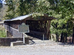 | Clarkson Bridge | structure | 1974 | 74000408 |
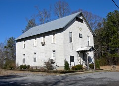 | Crane Hill Masonic Lodge | building | 2001 | 01001294 |
 | Cullman Downtown Commercial Historic District | district | 1985 | 85000738 |
 | Cullman Historic District | district | 1984 | 84000615 |
 | Ernest Edward Greene House | building | 1993 | 92001828 |
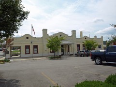 | Louisville and Nashville Railroad Depot | building | 1976 | 76000320 |
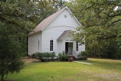 | Shady Grove Methodist Church and Cemetery | building | 2002 | 02001067 |
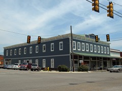 | Stiefelmeyer's | building | 1983 | 83003444 |
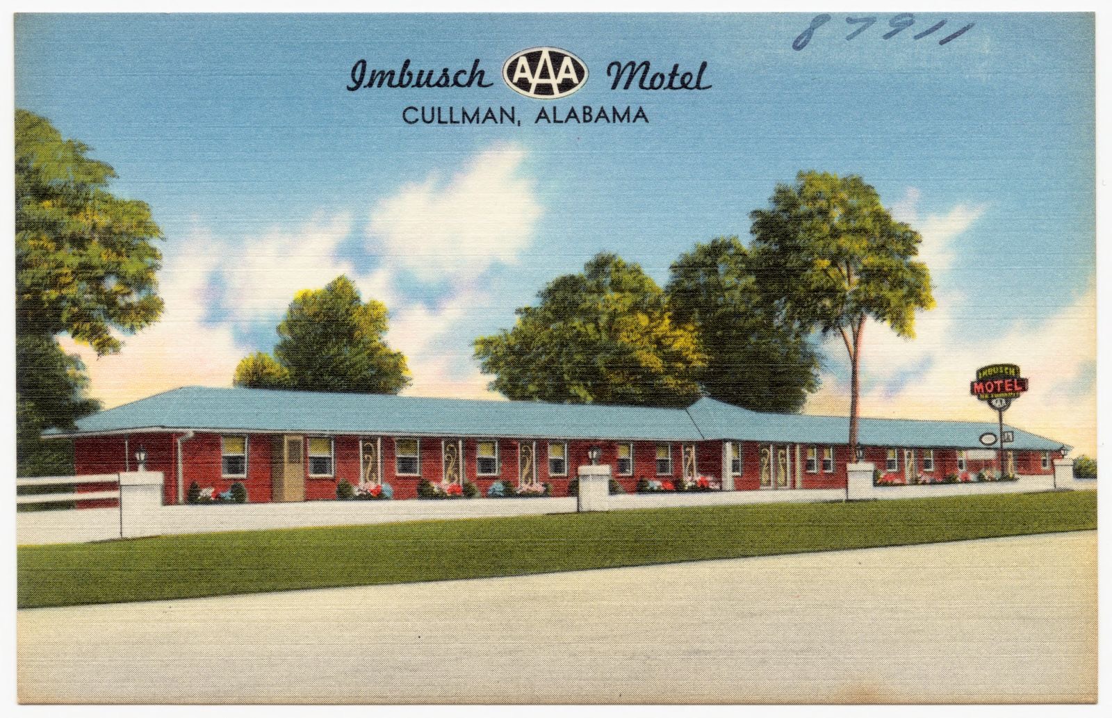
Selected from the Digital Public Library of America's 2 image records catalogued for this county. Every one shown here carries a public-domain status or a licence that permits reuse on a site that carries advertising; non-commercial, share-alike and restricted images are excluded. The selection is spread across the county's towns (at most eight per town), so no single institution's bulk upload crowds out the rest. Each opens the holding library's record, and the complete set at the Digital Public Library of America is one click away.
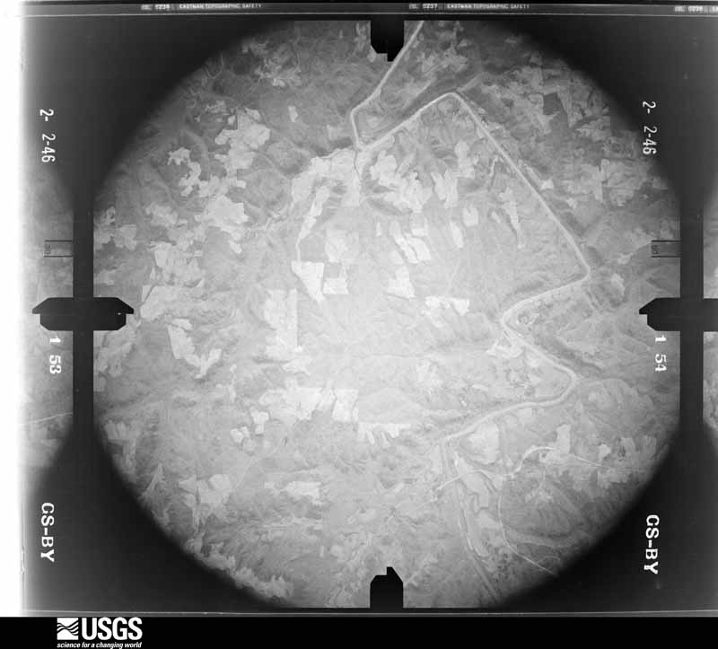
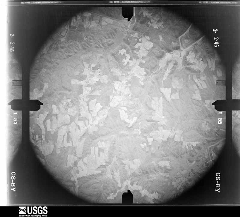
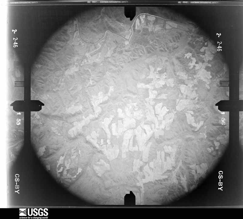
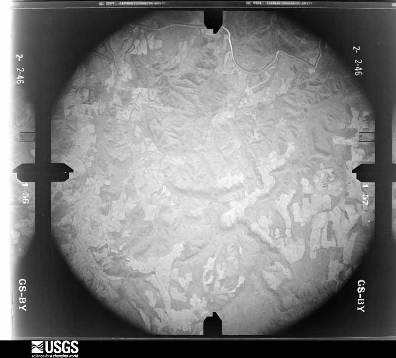
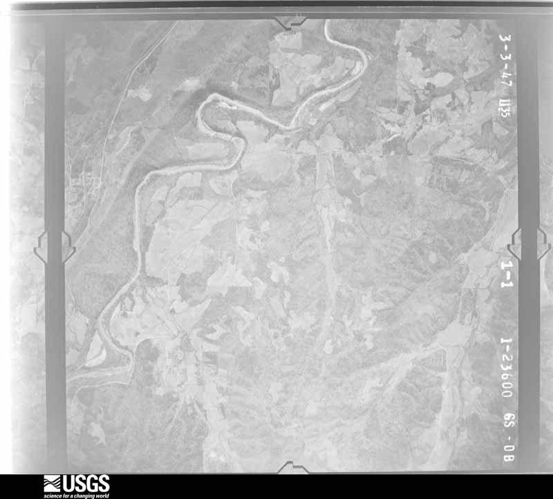
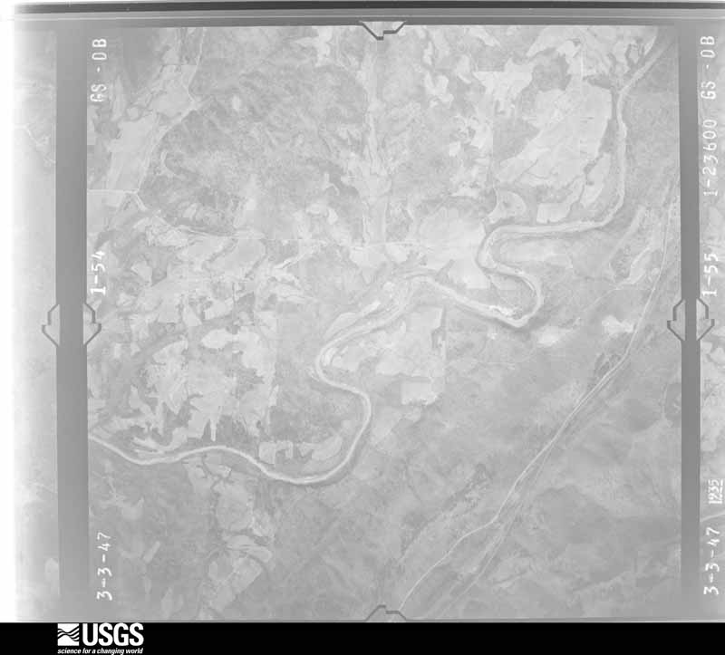
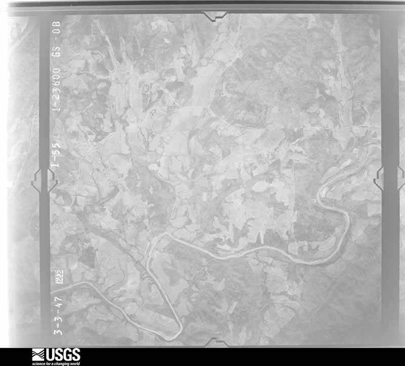
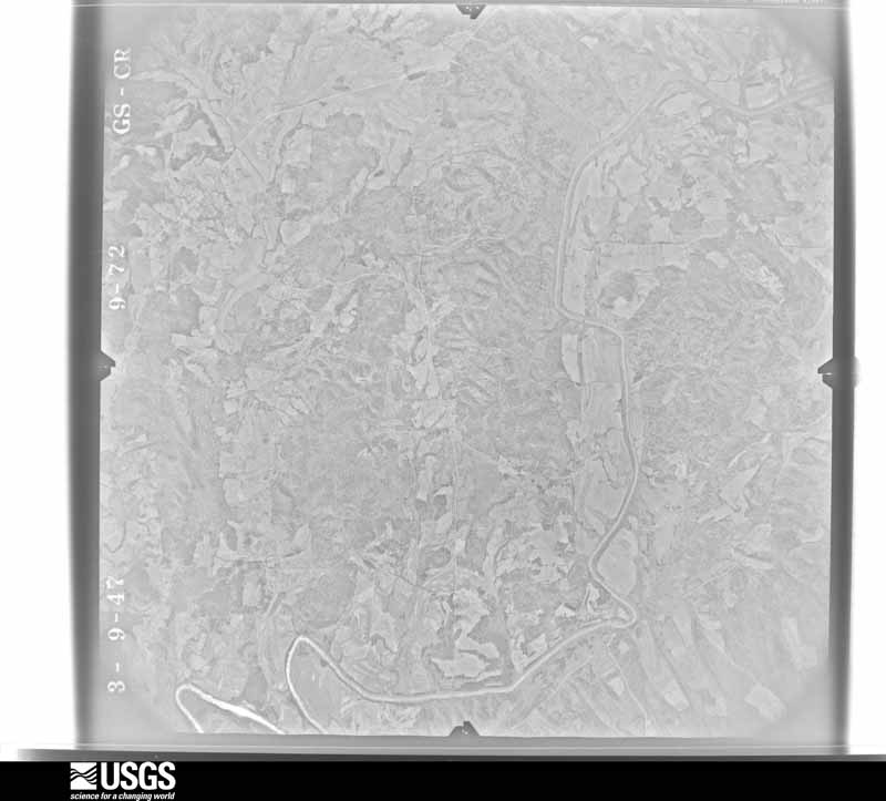
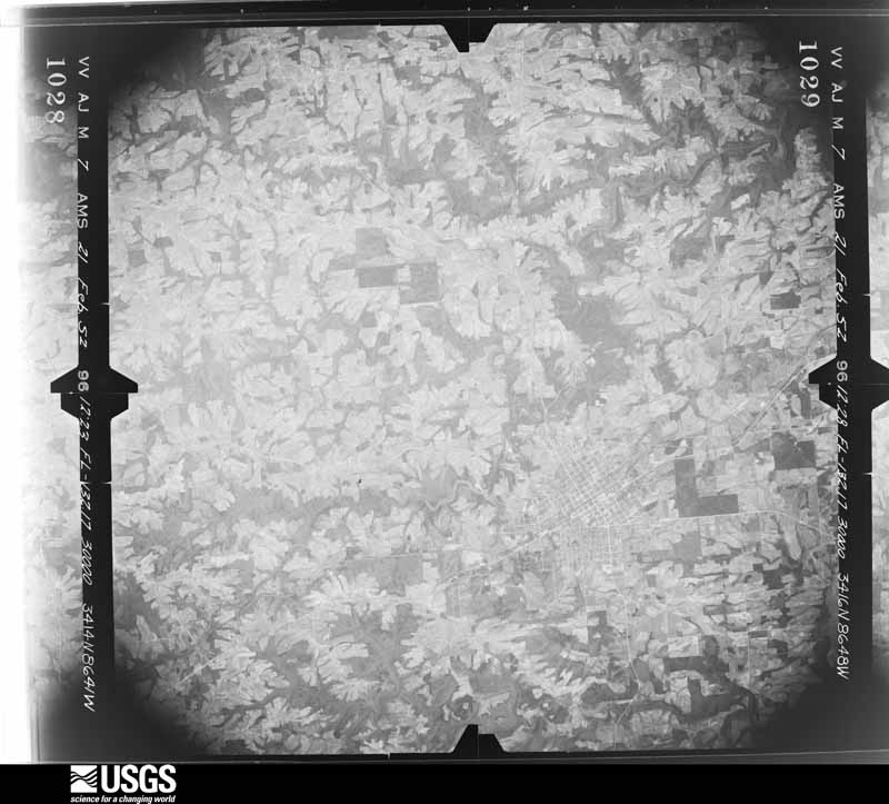
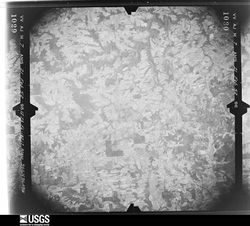
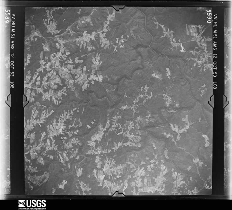
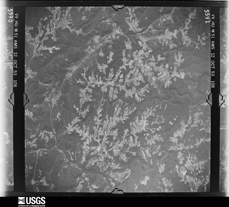
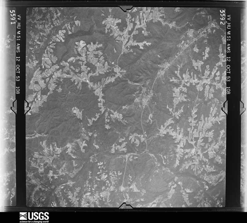
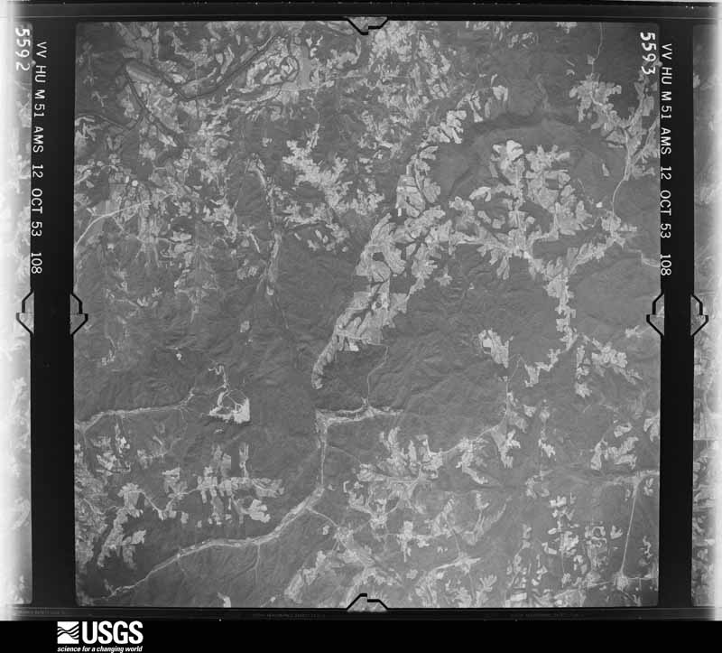
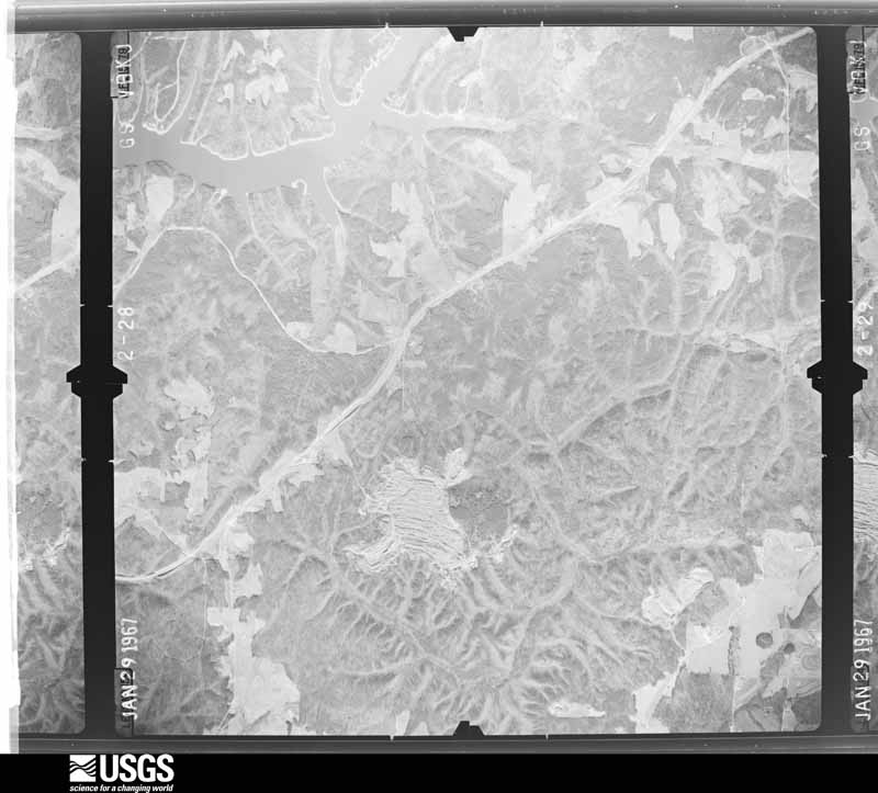
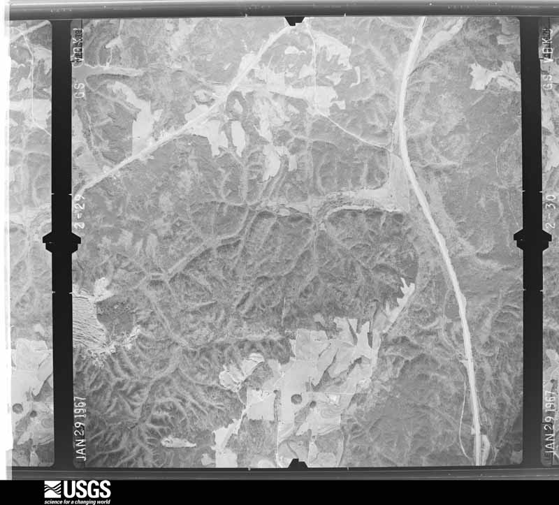
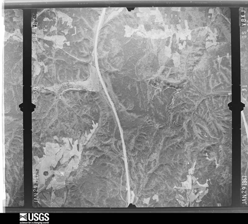
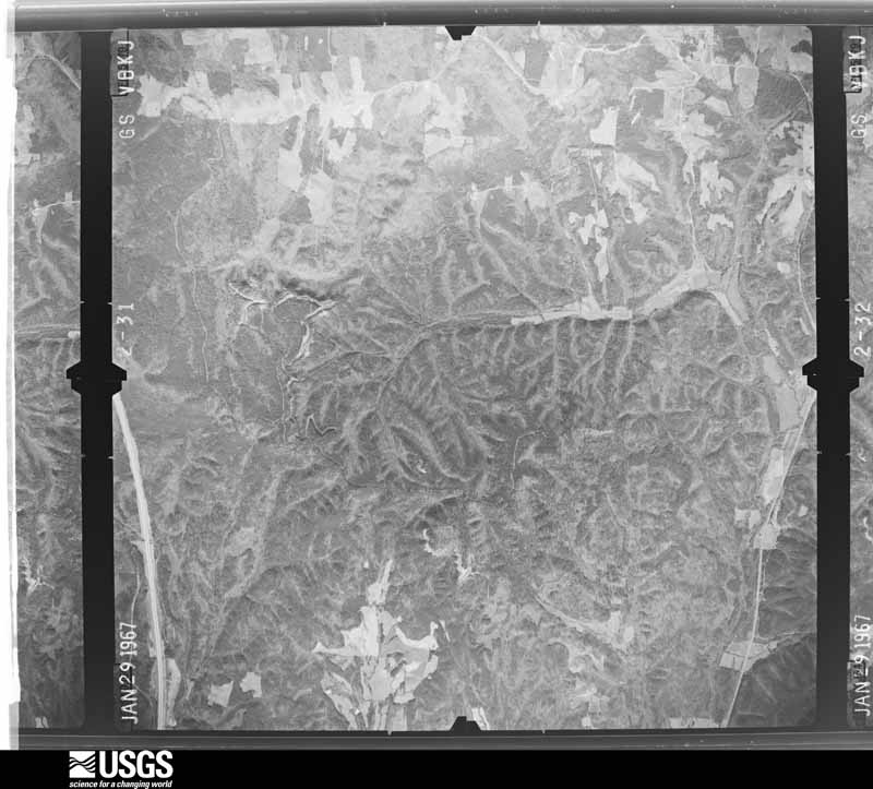
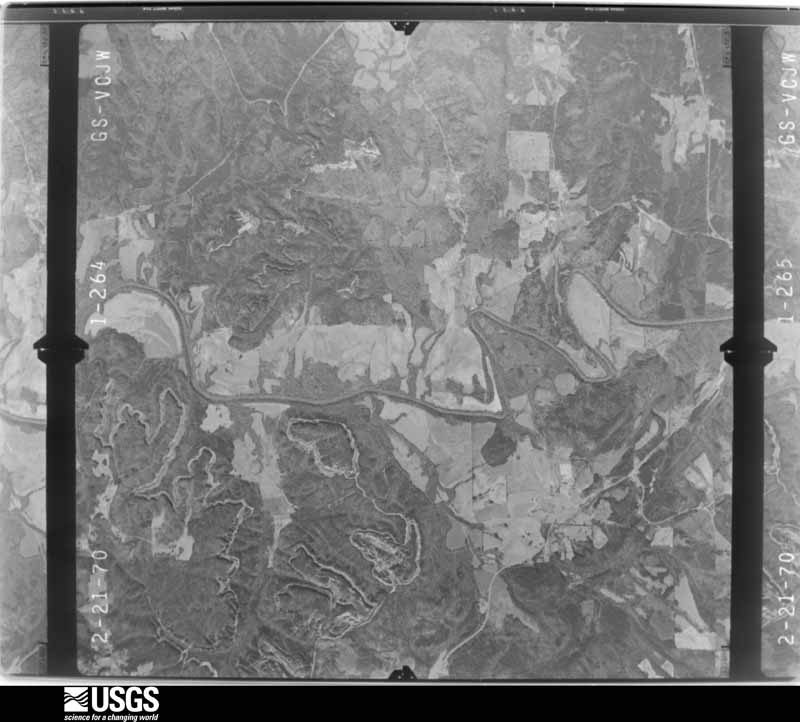
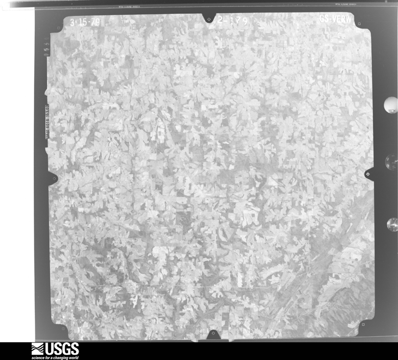
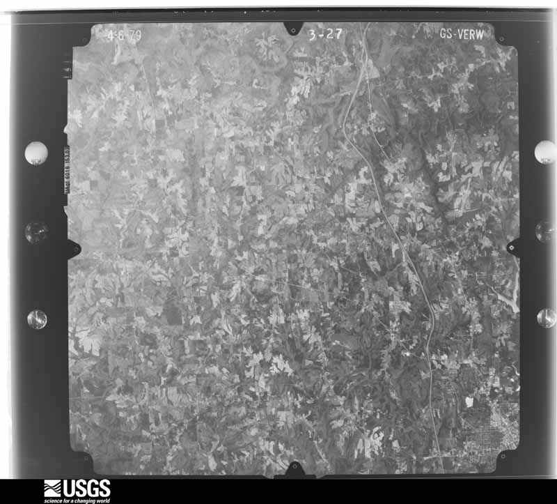
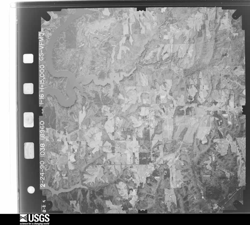
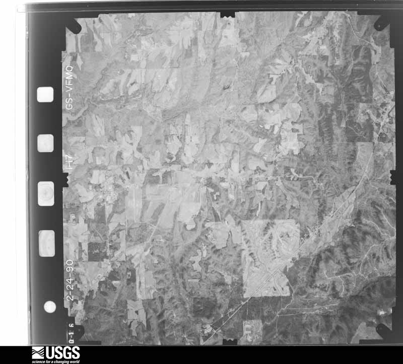
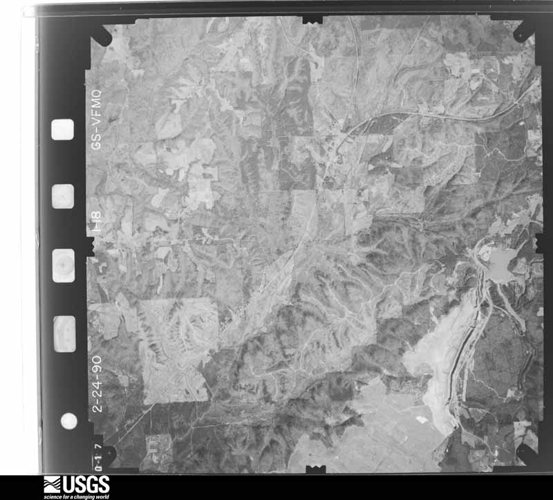
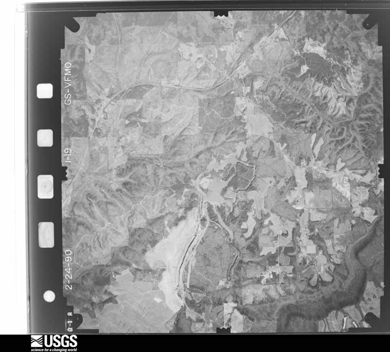
Flown by the U.S. Geological Survey between 1937 and 1989, the Aerial Photo Single Frames collection is the definitive mid-century view of the land: fields, roads and rivers as the camera saw them. The Survey holds 757 frames inside the rectangle that bounds this county; the 45 frames below were taken over the county itself, chosen across the decades of flights (at most four a year from that rectangle), so one flight cannot crowd out the rest. The full set is free to browse and download at EarthExplorer under the dataset Aerial Photo Single Frames.




















The thermometers that kept this county's weather, and the gages that measured the flow of its streams, as the federal records hold them. The extremes below are measured values from those records, not estimates.
Who lived here in 1950, one enumeration district at a time, as the Census Bureau described each district. Each row opens its official National Archives result, with Population Schedules and ED Maps available there.
Every wildfire the federal occurrence database records inside this county: 745 of them, burning about 9,392 acres. 2 started naturally and 192 were recorded as arson. Each settlement page carries the fires within five miles of it.
| Reported cause | Fires |
|---|---|
| Debris and open burning | 301 |
| Arson/incendiarism | 192 |
| Missing data/not specified/undetermined | 149 |
| Recreation and ceremony | 44 |
| Equipment and vehicle use | 24 |
| Misuse of fire by a minor | 10 |
| Smoking | 10 |
| Railroad operations and maintenance | 6 |
| Power generation/transmission/distribution | 5 |
| Natural | 2 |
| Other causes | 1 |
| Fireworks | 1 |
The five largest, by the area the report gives. Three of them were set deliberately.
| Date | Cause | Size | Reported by | Name on the report |
|---|---|---|---|---|
| 15 September 1999 | Arson/incendiarism | 890 acres | Alabama Forestry Commission | not named |
| 7 July 2012 | Missing data/not specified/undetermined | 400 acres | Alabama Forestry Commission | NER-20120707-002 |
| 2 July 2007 | Arson/incendiarism | 291 acres | Alabama Forestry Commission | not named |
| 6 October 2016 | Arson/incendiarism | 285 acres | Alabama Forestry Commission | 20161006-30 |
| 13 March 2005 | Recreation and ceremony | 212 acres | Alabama Forestry Commission | not named |
| 2 December 2012 | Recreation and ceremony | 200 acres | Alabama Forestry Commission | NER-20121202-003 |
| 23 September 2016 | Debris and open burning | 200 acres | Alabama Forestry Commission | 20160923-22 |
| 26 February 1995 | Recreation and ceremony | 195 acres | Alabama Forestry Commission | not named |
Every settlement page carries the fires within five miles of it - see the settlement index below.
The NOAA Storm Events Database holds 1,079 reports for this county, causing 13 deaths, 308 injuries and about $104,580,780 in recorded property damage. Each settlement page carries the reports that name it.
| Kind of event | Reports |
|---|---|
| Thunderstorm Wind | 595 |
| Hail | 265 |
| Tornado | 98 |
| Flash Flood | 80 |
| Lightning | 15 |
| Flood | 12 |
| Funnel Cloud | 9 |
| Heavy Rain | 5 |
The most serious of them, by death, then injury, then recorded damage. The accounts are quoted exactly as the forecast office filed them.
| When | Event | Place named | Harm | What the report says |
|---|---|---|---|---|
| February 1995 | Tornado (F3) | Joppa | 6 killed, 130 hurt, $5,000,000 | A tornado began in the extreme northeast part of Cullman County about three miles west of Joppa in a rural area. The tornado travelled east-northeast through Joppa and across Alabama Highway 69 crossing into Marshall County just southwest of Arab at 5:06 am CST. Continuing on an east-northeast track, the tornado crossed the southern side of Arab crossing U.S. Highway 231 at 5:08 am. The tornado moved into increasing rugged terrain as it moved east of Arab, dissipating at the Browns Creek section of Guntersville Lake just north of the Diamond community. Six people were killed in the tornado, five in Marshall County and one in Cullman County. One death occurred in a house and the rest in mobile homes. There were 130 injuries though it is impossible to specify how many occurred in each county. The Joppa area of Cullman County and the Arab area of Marshall County were the most heavily populated areas affected by the tornado with some of the worst damage occurring in these areas. Officials reported that 77 dwellings and six businesses were destroyed in Cullman County while 80 dwellings and six businesses were destroyed in Marshall County. In the city of Arab, there were 30 to 35 homes destroyed or heavily damaged along with 30 to 35 mobile homes. A pregnant woman severely injured in her mobile home in the tornado was sent into labor early, but the baby died at birth. F04H, M49M, M36M, F70M, F88M, M0M |
| March 1963 | Tornado (F4) | not stated | 2 killed, 6 hurt, $2,500,000 | no account filed |
| April 1974 | Tornado (F4) | not stated | 1 killed, 36 hurt, $25,000,000 | no account filed |
| July 1992 | Thunderstorm Wind | not stated | 1 killed, 1 hurt | no account filed |
| July 2015 | Thunderstorm Wind | Bethel | 1 killed | A tree was uprooted, falling onto a male, along County Road 1135. |
| April 2011 | Tornado (EF2) | Wilburn | 1 killed | A weak tornado touched down east of Cold Springs, toppling and snapping numerous trees. Several sheds sustained minor damage in this early part of the track. The storm crossed Highway 69 where it damaged a large shed. Additional damage was noted as the tornado tracked northeast across County Road 46, where trees continued to be snapped and damage sustained to many chicken coops, some of which collapsed. After crossing Interstate 65 just south of Dodge City, additional chicken coops and trees were damaged along the path of the storm.||The tornado then increased in strength as it approached Wallace State College in Hanceville, where winds were estimated to peak at 120 mph (EF-2 intensity). Eight large metal power poles were bent over just above the base and several campus buildings had significant portions of metal roofing torn off. A mid-rise under construction had its windows blown out, while the high-rise building sustained additional minor damage. The connected construction crane remained standing. To the south of the main track, in Hanceville proper, significant numbers of large pine, poplar and other hardwood trees were toppled onto houses. The roof of the high school gym in town was partly destroyed and additional small buildings near downtown Hanceville sustained damage..||The tornado continued its track northeast from Hanceville, nearly paralleling Highway 91. Between Center Hill and Walter, large hardwood trees were found snapped and twisted. In addition along County Road 645, a barn was nearly destroyed. Continuing northeast along a path, just south of Holly Pond along Highway 91, a portion (1/3 to 1/2) of a residential shelter or shed was destroyed and a portion of a chicken house was badly damaged.||Additional damage was seen along County Road 1742 and 1753, several miles northeast of Holly Pond, and along Highway 231 in extreme northeast Cullman county. This damage is considered to be with the same complex of storms that rolled across the area during the early morning hours April 27th, however there is too much distance between damage points to be considered one long track tornado. |
| April 2011 | Tornado (EF4) | Crane Hill | 1 killed | A violent long track tornado developed on the north side of Lewis Smith Lake along County Road 310 where some light damage was found. The tornado tracked northeast snapping numerous large trees and causing significant structural damage to residences along County Roads 222 and 436 near Grandview. The tornado tracked northeast into the city of Cullman. Some of the worst damage occurred just northeast of U.S. Highways 31 and 278. Several small retail buildings were completely destroyed. along with the near total destruction of a large church. The tornado tracked across State Highway 157, then caused additional damage north of State Highway 69 between Simcoe and Pleasant View. Just north of Fairview along County Roads 1559 and 1564, 2 homes were destroyed with significant portions of the homes not found. Further northeast along County Road 1589, the tornado caused major structural damage to several old (early 1900s) homes. Numerous hardwood trees were debarked. A 1/4 to 1/2 mile wide corridor of significant damage persisted between Fairview and the Morgan County line. |
| January 1988 | Tornado (F3) | not stated | 35 hurt, $25,000,000 | no account filed |
| November 1983 | Tornado (F3) | not stated | 19 hurt, $2,500,000 | no account filed |
| March 1976 | Tornado (F3) | not stated | 17 hurt, $2,500,000 | no account filed |
| October 2001 | Thunderstorm Wind | Crane Hill | 9 hurt, $2,000 | Power lines were blown down in Crane Hill. |
| November 2002 | Tornado (F3) | Bremen | 8 hurt, $1,300,000 | no account filed |
| August 1985 | Tornado (F3) | not stated | 6 hurt, $2,500,000 | no account filed |
| February 1986 | Thunderstorm Wind | not stated | 4 hurt | no account filed |
| February 1986 | Thunderstorm Wind | not stated | 4 hurt | no account filed |
| February 1952 | Tornado (F1) | not stated | 3 hurt, $2,500,000 | no account filed |
| November 1957 | Tornado (F1) | not stated | 3 hurt, $250,000 | no account filed |
| April 1977 | Tornado (F2) | not stated | 3 hurt, $25,000 | no account filed |
| June 2018 | Tornado (EF2) | Jones Chapel | 3 hurt | As the tornado crossed from Winston into Cullman County, the tornado likely lifted shortly after crossing CR 1069 and producing minor limb damage. The tornado likely touched down again west of the CR 1055 and CR 1082 intersection. Extensive tree damage was observed. Numerous trees were either uprooted or snapped as the tornado tracked through a depression on the north side of CR 1055. Intensity was documented as 90 mph (EF-1) as it approached CR 1082. At this point, the tornado likely lifted again as it moved east of CR 1082 with only minor limb damage observed through Sullivan Creek.||Peak intensity of the tornado was observed along CR 1091, west of CR 1114. A one year old manufactured home was completely destroyed as it broke away from its anchors, causing 3 injuries. The home was perpendicular to the winds, facing due west. It was displaced about 20 yards from its original location. Three of four corner anchor units were ripped from the ground. The fourth remained lodged in ground but the metal strap was ripped from the I-Beam. It is worth noting that the anchors were approximately 2-3 feet into the ground, and were strapped to the I-Beam (from what could be observed). However, given the highly saturated, muddy soil, the anchors were pulled out as the home tipped backwards. Given this potential failure, winds were estimated at 130 mph (EF-2), or slightly above the expected value for a completely destroyed manufactured home. Additionally, near this location, several trees were uprooted. Peak width of approximately 180 yards were also documented in this area.||As the tornado tracked east, another area of downed branches and uprooted trees were noted east of CR 1107. This was the final location of observed damage as the tornado likely lifted and eventually dissipated along CR 1114. |
| October 2014 | Thunderstorm Wind | Phelan | 2 hurt, $100,000 | A wide swath of hardwood trees were snapped or uprooted between Good Hope and South Vinemont. Many trees fell on homes causing extensive roof/structural damage. Several businesses in Cullman sustained minor roof damage. Several wooden power poles were even snapped near their base which resulted in the estimation of winds being around 100 MPH. |
| November 1951 | Tornado (F2) | not stated | 2 hurt, $2,500 | no account filed |
| April 2009 | Thunderstorm Wind | Corinth | 2 hurt | Widespread trees were reported blown down and power outages occurred countywide. Time was estimated by radar as winds affected the western portion of Cullman county. Two emergency responders were injured by a tree crashing through a house while responding to an call in the Berlin area. |
| February 1975 | Tornado (F2) | not stated | 1 hurt, $250,000 | no account filed |
| November 1966 | Tornado (F2) | not stated | 1 hurt, $250,000 | no account filed |
| June 1994 | Thunderstorm Wind | Cold Springs | 1 hurt, $50,000 | Thunderstorm winds downed trees in the Cold Springs area of Cullman County. One person was injured when a tree fell on a truck. |
| September 1996 | Flash Flood | Cullman | 1 hurt, $30,000 | no account filed |
| August 2012 | Thunderstorm Wind | Jones Chapel | 1 hurt, $10,000 | Strong thunderstorm winds estimated at 40 mph knocked down a few small tree limbs and produced slight damage to an awning at a Texaco gas station near Addison, Alabama. The awning fell onto a vehicle at the Texaco gas station and slightly injured a person. |
| March 2021 | Thunderstorm Wind | St Bernard | 1 hurt | A mobile home was blown off of its foundation. A person inside suffered minor injuries. Time estimated by radar. |
| March 2015 | Lightning | Cullman | 1 hurt | A 27 year old female was struck by lightning while leaning against a metal door frame. Victim was transported to a local hospital with non-life threatening injuries. |
| April 2011 | Thunderstorm Wind | Brooklyn | 1 hurt | Damaging straight-line winds knocked a large tree down on a house north of Holly Pond. One injury was reported. |
| July 2010 | Lightning | Jones Chapel | 1 hurt | A woman was struck by lightning in her home off highway 939. |
| May 2009 | Lightning | Fairview | 1 hurt | A person was struck by lightning on CR 1536 in the Fairview area. |
| May 2009 | Lightning | Good Hope | 1 hurt | Lighting struck a person along Good Hop School Road. Other details unknown. |
| April 2008 | Thunderstorm Wind | Cullman | 1 hurt | Several homes and businesses were heavily damaged in the downtown area, including the Cullman Shopping Center. Several power lines and large trees were also blown down. Some trees fell on houses and vehicles, heavily damaging them. A fuel tank spill resulted due to roof debris falling from a nearby building. The spill required a temporary closure of a one half mile radius near the intersection of Highways 278 and 31. Locations affected by the heaviest damage included the St. Joseph area of Cullman county near Katherine and Ann Street, locations along 278 north, and Arnold Street. Power outages affected as many as 4800 customers in Cullman County. An EMS/weather spotter reported that a female resident experienced a minor injury when a tree limb fell into the home and struck her on the head. |
| September 2002 | Lightning | Bremen | 1 hurt | One person was struck by lightning at Cold Springs High School. The extent of injuries was unknown. |
| July 1992 | Thunderstorm Wind | not stated | 1 hurt | no account filed |
| April 1985 | Thunderstorm Wind | not stated | 1 hurt | no account filed |
| April 2011 | Tornado (EF4) | Arkadelphia | $20,000,000 | A large violent tornado continued it's track from Walker County into the Huntsville County Warning Area (CWA) across the very southern tip of Cullman County, from about 3 miles southwest of Arkadelphia to just over 2 miles ESE of Arkadelphia. This tornado then tracked out of the Huntsville CWA into Blount County. In Cullman County, a wide swath of pine and hardwood trees was found snapped at the bases or splintered several feet off the ground, with some debarking of trees. South of Hwy 91 along Washington Loop, several homes were damaged or destroyed. A mobile home was obliterated and the frame was found at least 200 yards to the east up a hill. A cinder block home was wiped out, with the contents landing across the road, while the cars nearby were tossed. A truck landed in a nearby hollow at least 50 yards away while a sedan was smashed as it landed about 130 yards away. Farming equipment in a barn was displaced into the hollow, including a hay baler and a tractor. The storm shelter by the residence was partially lifted and damaged. The person inside received minor injuries. Additional homes and buildings nearby were destroyed and only a few trees were left standing or not debarked. The main damage path was fairly well confined, as a well built home just at the edge of the track only sustained minor roof damage. |
| March 1986 | Tornado (F2) | not stated | $2,500,000 | no account filed |
| April 2008 | Tornado (EF0) | Vinemont | $2,000,000 | An EF-0 Tornado with maximum winds of 60 mph, maximum path width of 10 yards, and path length of less than 1/4 of a mile developed briefly near the Vinemont area. This tornado produced tree and power line damage. |
| August 2007 | Thunderstorm Wind | Garden City | $1,000,000 | Two trees were blown down in the Garden city community. One of these trees damaged a house. |
| August 2007 | Thunderstorm Wind | Holly Pond | $1,000,000 | A portion of a barn's roof sustained heavy damage and was pealed back in the Holly Pond community. |
| May 1995 | Hail | Cullman to | $650,000 | Hail up to softball-size was reported in the area from southern Cullman to Hanceville. Numerous cars sustained damage in the hail including one Chevrolet dealership where every car sustained hail damage. |
| January 2009 | Flood | County Line | $300,000 | Heavy rainfall caused area creeks and streams to flood numerous roads. Some bridges and road were damaged or destroyed by flood waters including: A wooden bridge on County Road 1651, a bridge on County Road 1427, and County Road 310. Particularly hard hit areas were Baileyton, Holly Pond, and Fairview. |
| April 1985 | Tornado (F3) | not stated | $250,000 | no account filed |
| August 1985 | Tornado (F2) | not stated | $250,000 | no account filed |
| February 1983 | Tornado (F2) | not stated | $250,000 | no account filed |
| January 1982 | Tornado (F2) | not stated | $250,000 | no account filed |
| November 1973 | Tornado (F2) | not stated | $250,000 | no account filed |
| June 1970 | Tornado (F2) | not stated | $250,000 | no account filed |
| April 1964 | Tornado (F2) | not stated | $250,000 | no account filed |
| March 1961 | Tornado (F3) | not stated | $250,000 | no account filed |
| April 1958 | Tornado (F1) | not stated | $250,000 | no account filed |
| April 1957 | Tornado (F3) | not stated | $250,000 | no account filed |
| October 2010 | Thunderstorm Wind | Cullman | $200,000 | Significant building and roof damage occurred in downtown Cullman. Windows and some walls were blown out. Power lines were knocked down and numerous power outages resulted. At Sports Center on highway 31N, Seadoos and Four-Wheelers were flipped over. Big trees were also blown down near the Catholic Church. |
| August 2006 | Thunderstorm Wind | Cullman | $200,000 | A microburst produced brief but damaging winds up to 80 mph within the historic warehouse district of downtown Cullman. The tin roof on the north side of one building was peeled off. Several bricks were blown off of a retaining wall of another building. The high winds also blew out several windows, damaged signage along highway 31 and a garage door at an area business. |
| May 2008 | Tornado (EF2) | Arkadelphia | $150,000 | A tornado moved across far southern Cullman County. Several debris paths were found during this storm survey. The most significant damage with peak wind speeds of 120 mph occurred along Highway 91 in the vicinity of the town of Colony. Four chicken houses were either severely damaged or destroyed and numerous large trees were snapped or uprooted. Significant tree damage was found in the vicinity of Arkadelphia along County Roads 8 and 35. Spotty lighter damage was found near the end of the tornado's path just east of Interstate 65 near Black Bottom. |
| February 2000 | Thunderstorm Wind | Countywide | $150,000 | Several trees were blown down throughout the county. A few of the trees fell onto homes. A radio tower was blown down at the Health Department in Cullman. Several barns and chicken houses sustained varying degrees of damage. |
| April 2006 | Tornado (F1) | Cullman | $125,000 | A short lived F1 tornado struck a chicken farm near the Pleasant grove community. Two well built chicken houses were collapsed with most of the metal roofing flung into nearby trees and twisted around their branches approximately 40 to 50 yards away. A third chicken house was also moderately damaged. A small wooden shed was completely demolished and a feed bin attached to one of the chicken houses was completely toppled over. |
| August 2012 | Lightning | Ebenezer | $100,000 | Lightning struck a home and produced a fire that destroyed the home. |
Named settlements recorded in the Geographic Names Information System, each with the topographic sheets covering it. Villages, hamlets and abandoned places alike. Each is shown with the nearest named watercourse or landform and the survey quadrangle it falls on. The 1 place that was also surveyed for fire insurance comes first, with the number of atlases and photographs held for them.
Cullman census division · 35055 · On Wolf Creek · Cullman quadrangle
19 sheets, 1888 to 1984
Fire insurance: 8 atlases
Crane Hill census division · 35053 · On Bear Pen Branch · Cold Springs quadrangle
20 sheets, 1893 to 1984
Bremen census division · 35077 · On James Creek · Arkadelphia quadrangle
23 sheets, 1889 to 1984
Baileyton-Joppa census division · 35019 · On Herring Branch · Hulaco quadrangle
20 sheets, 1888 to 1984
Cullman census division · 35057 · On Chaney Branch · West Point quadrangle
17 sheets, 1888 to 1984
Bremen census division · 35077 · On Dean Creek · Arkadelphia quadrangle
23 sheets, 1889 to 1984
No longer a settlement
Vinemont census division · 35179 · On Kid Branch · Falkville quadrangle
20 sheets, 1888 to 1984
Baileyton-Joppa census division · 35058 · On Wolf Creek · Simcoe quadrangle
17 sheets, 1888 to 1984
Hanceville census division · 35077 · On Marriott Creek · Blount Springs quadrangle
23 sheets, 1889 to 1984
Baileyton-Joppa census division · 35083 · On Tarkiln Branch · Holly Pond quadrangle
19 sheets, 1888 to 1984
Bremen census division · 35033 · On Simpson Creek · Crane Hill quadrangle
12 sheets, 1956 to 2000
Cullman census division · 35055 · On Ryan Creek · Cullman quadrangle
19 sheets, 1888 to 1984
Hanceville census division · 35077 · Near Stout Mountain · Hanceville quadrangle
18 sheets, 1888 to 1984
Welti census division · 35077 · On Whaley Mill Creek · Garden City quadrangle
19 sheets, 1888 to 1984
Jones Chapel census division · 35057 · On Dripping Springs Creek · Jones Chapel quadrangle
11 sheets, 1956 to 2000
Jones Chapel census division · 35057 · Jones Chapel quadrangle
11 sheets, 1956 to 2000
Jones Chapel census division · 35179 · Near Hog Hollow · Massey quadrangle
18 sheets, 1935 to 2000
Bremen census division · 35033 · On Big Branch · Cold Springs quadrangle
20 sheets, 1893 to 1984
Jones Chapel census division · 35179 · Near Bugaboo Mountain · Massey quadrangle
18 sheets, 1935 to 2000
Crane Hill census division · 35053 · On Whetstone Creek · Crane Hill quadrangle
12 sheets, 1956 to 2000
Bremen census division · 35077 · Near Prospect Mountain · Blount Springs quadrangle
23 sheets, 1889 to 1984
Bremen census division · 35077 · Near Buttermilk Mountain · Trimble quadrangle
18 sheets, 1888 to 1984
Jones Chapel census division · 35057 · On Stable Branch · Jones Chapel quadrangle
11 sheets, 1956 to 2000
Vinemont census division · 35179 · On Gay Branch · Cullman quadrangle
19 sheets, 1888 to 1984
Simcoe census division · 35055 · On Polecat Branch · Cullman quadrangle
19 sheets, 1888 to 1984
Simcoe census division · 35058 · On Minnow Creek · Lawrence Cove quadrangle
18 sheets, 1888 to 1984
Hanceville census division · 35077 · On Garden City Mountain · Garden City quadrangle
19 sheets, 1888 to 1984
Logan census division · 35057 · On Vest Creek · West Point quadrangle
17 sheets, 1888 to 1984
Holly Pond census division · 35083 · On Turkey Hop Branch · Holly Pond quadrangle
19 sheets, 1888 to 1984
Jones Chapel census division · 35057 · On Dripping Springs Creek · Jones Chapel quadrangle
11 sheets, 1956 to 2000
Baileyton-Joppa census division · 35087 · On Berry Creek · Hulaco quadrangle
20 sheets, 1888 to 1984
Bremen census division · 35057 · Near Schmmuck Mountain · Trimble quadrangle
18 sheets, 1888 to 1984
Bremen census division · 35057 · On Reid Creek · Trimble quadrangle
18 sheets, 1888 to 1984
Baileyton-Joppa census division · 35016 · On Riley Maze Creek · Arab quadrangle
24 sheets, 1885 to 1984
Baileyton-Joppa census division · 35016 · On Cabin Creek · Holly Pond quadrangle
19 sheets, 1888 to 1984
Vinemont census division · 35179 · On Lick Creek · Eva quadrangle
17 sheets, 1888 to 1984
Holly Pond census division · 35055 · On Copperas Branch · Simcoe quadrangle
17 sheets, 1888 to 1984
Cullman census division · 35058 · On Price Creek · Cullman quadrangle
19 sheets, 1888 to 1984
Vinemont census division · 35057 · On Alvis Branch · West Point quadrangle
17 sheets, 1888 to 1984
Simcoe census division · 35058 · On Huckleberry Branch · Cullman quadrangle
19 sheets, 1888 to 1984
Vinemont census division · 35179 · On Moody Branch · Eva quadrangle
17 sheets, 1888 to 1984
Hanceville census division · 35077 · On Mud Creek · Garden City quadrangle
19 sheets, 1888 to 1984
Holly Pond census division · 35077 · On Buzzard Branch · Garden City quadrangle
19 sheets, 1888 to 1984
Cullman census division · 35055 · On Wolf Creek · Cullman quadrangle
19 sheets, 1888 to 1984
Vinemont census division · 35058 · On Adams Branch · Cullman quadrangle
19 sheets, 1888 to 1984
Vinemont census division · 35057 · On Alvis Branch · West Point quadrangle
17 sheets, 1888 to 1984
Hanceville census division · 35077 · On Whaley Mill Creek · Garden City quadrangle
19 sheets, 1888 to 1984
Crane Hill census division · 35053 · Near Davis Ridge · Crane Hill quadrangle
12 sheets, 1956 to 2000
Cullman census division · 35055 · On Price Creek · Cullman quadrangle
19 sheets, 1888 to 1984
Bremen census division · 35077 · On Clarkton Creek · Arkadelphia quadrangle
23 sheets, 1889 to 1984
Baileyton-Joppa census division · 35016 · Arab quadrangle
24 sheets, 1885 to 1984
Holly Pond census division · 35083 · On Beckworth Branch · Holly Pond quadrangle
19 sheets, 1888 to 1984
Baileyton-Joppa census division · 35016 · On Riley Maze Creek · Hulaco quadrangle
20 sheets, 1888 to 1984
Vinemont census division · 35179 · On Adams Branch · Cullman quadrangle
19 sheets, 1888 to 1984
Logan census division · 35057 · On Little Rock Creek · West Point quadrangle
17 sheets, 1888 to 1984
Bremen census division · 35033 · Near Hammonds Shinbone Mountain · Cold Springs quadrangle
20 sheets, 1893 to 1984
The vanished settlements of Cullman County: the places named above that are no longer on the map.
19 topographic sheets and 8 fire insurance atlases, 1888 to 1946