 Block
Ayres, Alabama
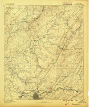
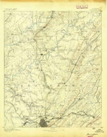
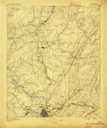
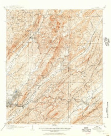
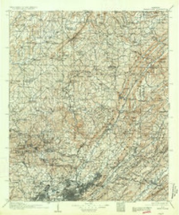
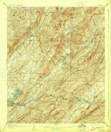
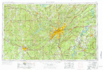
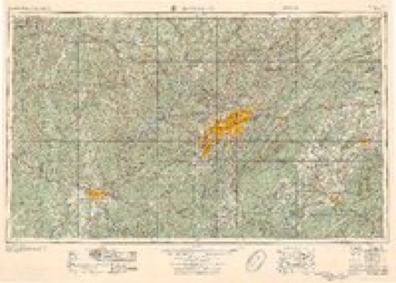
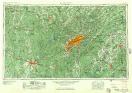
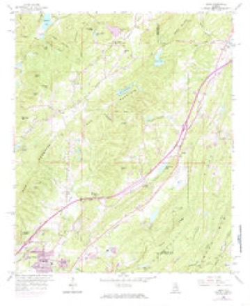
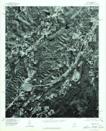
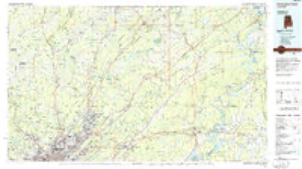
27 topographic sheets cover this place, the earliest surveyed in 1889 and the latest in 1984. It stands in the Clay census division. It lies in ZIP code area 35126. It lies near Meridian Knob. The Survey maps it on the Argo quadrangle.
Topographic sheets covering this place
12 surveys from 27 printed sheetsMatched by testing this settlement's coordinate against the published boundary of every sheet in the United States Geological Survey's historical collection. Each opens the scanned sheet at the Survey.
- 1889 USGS Birmingham quadrangle1:125000
- 1892 USGS Birmingham quadrangle1:125000
- 1895 USGS Birmingham quadrangle1:125000, 2 printings
- 1905 USGS Leeds quadrangle1:62500
- 1907 USGS Birmingham quadrangle1:125000, 5 printings
- 1907 USGS Leeds quadrangle1:62500, 3 printings
- 1953 USGS Birmingham quadrangle1:250000, 4 printings
- 1956 USGS Birmingham quadrangle1:250000
- 1957 USGS Birmingham quadrangle1:250000
- 1959 USGS Argo quadrangle1:24000, 5 printings
- 1975 USGS Argo quadrangle1:24000
- 1984 USGS Birmingham North quadrangle1:100000, 2 printings
Fires near this place
110 since 1994Regional context, not property-specific evidence. The federal wildfire occurrence database lists 110 fires within 5 miles of Ayres between 1994 and 2019, burning about 1,292 acres in total. None started naturally. 33 were recorded as arson. Distance is straight-line from the map coordinates, so a fire counted here may appear on a neighbouring settlement's page as well.
| Reported cause | Fires |
|---|---|
| Debris and open burning | 49 |
| Arson/incendiarism | 33 |
| Missing data/not specified/undetermined | 11 |
| Recreation and ceremony | 8 |
| Equipment and vehicle use | 4 |
| Misuse of fire by a minor | 2 |
| Railroad operations and maintenance | 2 |
| Smoking | 1 |
The most recent of them, most recent first, with the day each was reported and the service that recorded it.
| Date | Cause | Size | Reported by | Name on the report |
|---|---|---|---|---|
| 7 September 1995 | Debris and open burning | 20 acres | Alabama Forestry Commission | not named |
| 7 September 1995 | Debris and open burning | 15 acres | Alabama Forestry Commission | not named |
| 4 September 1995 | Recreation and ceremony | 2.0 acres | Alabama Forestry Commission | not named |
| 15 September 1998 | Arson/incendiarism | 1.0 acres | Alabama Forestry Commission | not named |
| 13 September 1997 | Debris and open burning | 7.0 acres | Alabama Forestry Commission | not named |
| 6 August 1995 | Debris and open burning | 3.0 acres | Alabama Forestry Commission | not named |
| 28 August 2007 | Arson/incendiarism | under an acre | Alabama Forestry Commission | not named |
| 22 August 1995 | Debris and open burning | 3.0 acres | Alabama Forestry Commission | not named |
Settlements close enough to share some of these fires:
Mines and quarries near this place
10 of 18 shownRegional context, not property-specific evidence. The federal mineral resources record lists 18 workings within 5 miles of Ayres: 16 occurrences, 1 unknown, 1 prospect. None of them still produces. What was taken out: Iron. Distance is straight-line from the map coordinates, so a quarry counted here may appear on a neighbouring settlement's page as well.
| Where | Site | Commodity | Status | Recorded |
|---|---|---|---|---|
| Blount Mountain Area | Iron | Unknown | ||
| D P Anderson Prospect | Iron | Occurrence | ||
| Unnamed Prospect | Iron | Occurrence | ||
| Unnamed Prospect | Iron | Occurrence | ||
| Unnamed Prospect | Iron | Occurrence | ||
| Unnamed Prospect | Iron | Occurrence | ||
| Unnamed Prospect | Iron | Prospect | ||
| Unnamed Prospect | Iron | Occurrence | ||
| Unnamed Prospect | Iron | Occurrence | ||
| Unnamed Prospect | Iron | Occurrence |
Storms near this place
12 since 2008Regional context, not property-specific evidence. The National Weather Service names Ayres in 12 storm reports between 2008 and 2026: 7 thunderstorm wind, 3 flash flood, 2 hail. The reports record 3 injuries. Each account below is quoted exactly as the forecast office filed it, from the NOAA Storm Events Database, and each date opens the federal record of that event.
| When | Event | Place named | Harm | What the report says |
|---|---|---|---|---|
| June 2010 | Flash Flood | Ayres | 3 hurt, $50,000 | Several locations northeast of the city of Birmingham experienced significant flash flooding. Several roads in and around the cities of Pinson, Center Point, and Trussville, became temporarily impassible due to flood waters. Three people suffered bumps and bruises after they were swept away on the Cahaba River and had to be rescued by a swift water team. |
| April 2008 | Thunderstorm Wind | Ayres | $5,000 | Several trees were blown down around Pinson and Center Point. |
| May 2011 | Thunderstorm Wind | Ayres | $2,000 | Several trees were snapped off, near Pinson. |
| February 2011 | Thunderstorm Wind | Ayres | $1,000 | A power pole was knocked down. |
| March 2026 | Thunderstorm Wind | Ayres | $500 | A power line was downed on Haversham Drive. |
| February 2026 | Thunderstorm Wind | Ayres | - | The National Weather Service surveyed damage in Pinson and determined that it was the result of a microburst. Most damage was found along a one-mile swath north to south from Highway 75 near Rudd School Rd to near Silver Lake Rd and Pine St. In this area, approximately 1,000 yards wide east to west, numerous trees were uprooted, falling on homes and power lines. Up to 15 homes were estimated to have been damaged, mainly by falling trees, with five homes sustaining moderate damage along Cobblestone Ct. Other streets with trees on homes included Church St, Silver Lake Rd, and Echo Dr. Also of note were numerous trees downed in a large cemetery, along with heavy timber damage in a swampy area between Highway 75 and Bud Holmes Rd. Most of the treefall was observed to have been south or southwest, although depending on the exact location relative to the microburst, some trees and debris were blown in various directions. This damage was the result of a rapidly descending thunderstorm core, associated with an ensuing hail storm in Pinson. Winds were estimated at 70-75 mph. The NWS would like to thank Jefferson County EMA for their assistance during this survey. |
| February 2026 | Hail | Ayres | - | Quarter to half dollar-size hail in the Pinson area. In addition, copious amounts of small hail coated the ground, resulting in the formation of hail fog. |
| August 2024 | Hail | Ayres | - | Quarter-size hail was estimated from a video received from the Pinson area. |
| January 2013 | Flash Flood | Ayres | - | Portions of Sweeney Hollow Rd were reported as flooded. |
| March 2013 | Thunderstorm Wind | Ayres | - | Trees were blown down, blocking all lanes of Highway 79, at mile marker 118. |
| March 2012 | Thunderstorm Wind | Ayres | - | A tree fell on a car at Dewey Heights Road and Hickory Trail. |
| July 2011 | Flash Flood | Ayres | - | A portion of Sweeney Hollow Road was closed due to flooding. |
Nearest settlements
The eight closest, with where each one stands in the county. Distances are straight-line, computed from the Geographic Names Information System coordinates.
| Map | Place | Distance | Sheets |
|---|---|---|---|
| Ayres Estates | 0.4 miles | 27 | |
| Dogwood Estates | 0.6 miles | 27 | |
| Countryside Estates | 1.6 miles | 27 | |
| Near Acres Estates | 1.7 miles | 27 | |
| Sunnyside | 1.8 miles | 27 | |
| Confederate Estates | 2.0 miles | 27 | |
| Clay | 2.8 miles | 27 | |
| West Ridge | 2.8 miles | 27 |
Provenance
This settlement is recorded in the Geographic Names Information System as feature 156009. The sheet list is computed by point-in-boundary test against the United States Geological Survey's historical topographic inventory. Both are works of the United States government and carry no copyright under 17 U.S.C. 105.
Wildfire. Short, Karen C. 2022. Spatial wildfire occurrence data for the United States, 1992-2020 [FPA_FOD_20221014]. 6th Edition. Fort Collins, CO: Forest Service Research Data Archive. https://doi.org/10.2737/RDS-2013-0009.6 Collected with United States Government funding and usable without additional permissions or fees.
Mines and quarries. USGS Mineral Resources Data System (MRDS) https://mrdata.usgs.gov/mrds/ A work of the United States government, no copyright under 17 U.S.C. 105.
Storms. NOAA National Centers for Environmental Information, Storm Events Database https://www.ncei.noaa.gov/stormevents/ A work of the United States government, no copyright under 17 U.S.C. 105. Narratives are quoted verbatim from the National Weather Service report and are not edited or summarised.