BlockBefore

Jefferson County, Alabama

218 topographic sheets and 38 fire insurance atlases across 3 places.

Research this county

From the record

189 National Register listings published here, 3 of them National Historic Landmarks.

Sources: the county history on the Internet Archive · the National Register database, National Park Service

Alabama within the United States
Jefferson County within Alabama
Explore by year 1885 1925

What the record shows

  • 3 places in this county were surveyed for fire insurance: Birmingham, Bessemer, Leeds, between 1885 and 1951.
  • 38 fire insurance atlases survive for the county. Topographic coverage is national; fire insurance survey reached only incorporated places with something worth insuring.
  • 17,378 topographic sheet readings cover the county's settlements.
  • 189 properties here are on the National Register of Historic Places: 115 buildings, 68 districts, 3 structures, 2 sites and 1 object.
  • 21 of the 189 listings were added during the 1970s.
  • The Geographic Names Information System records 670 populated places in this county; 657 are covered by at least one topographic sheet.

Photographs

63 photographs, 1936 to 1939

Taken for the Office of War Information and the Farm Security Administration, who photographed the country between 1935 and 1944. Works of United States government photographers, with no known restriction on use. Each opens its catalogue record.
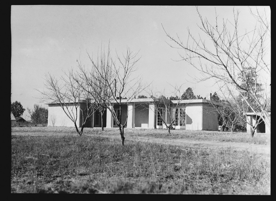
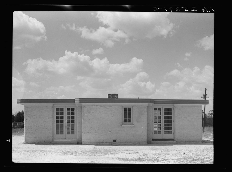
Rammed earth house near Birmingham, Alabama
Hibben, Thomas, photographer, 1937. Library of Congress
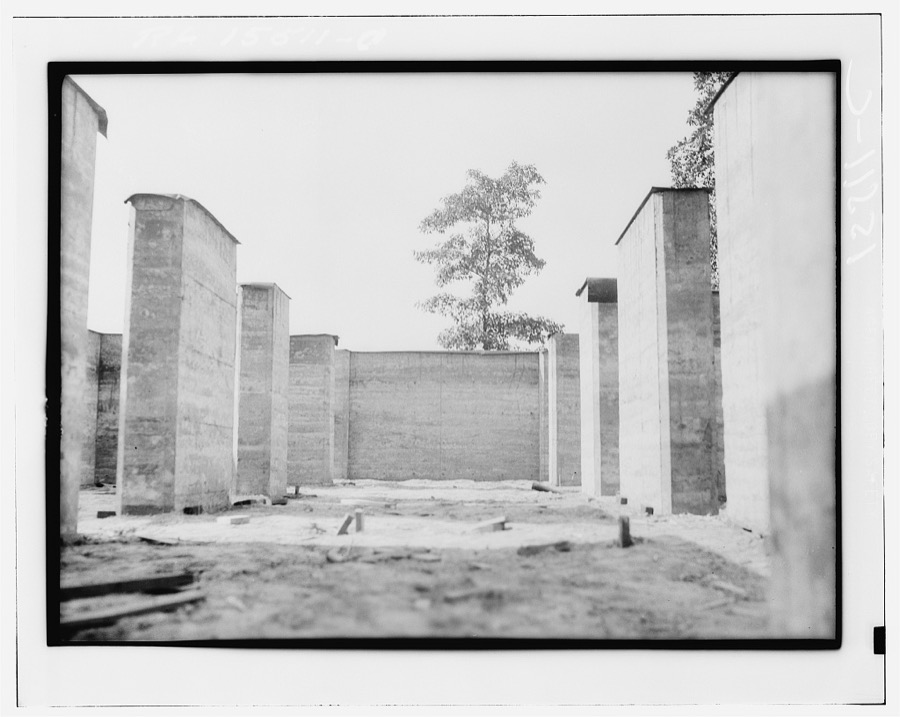
Rammed earth construction near Birmingham, Alabama
Hibben, Thomas, photographer, 1937. Library of Congress
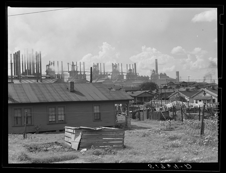
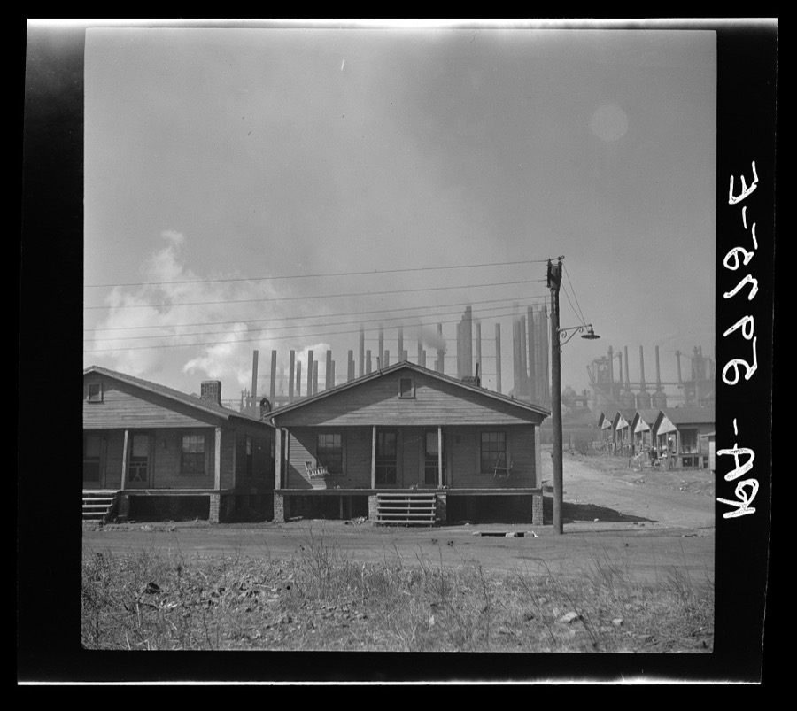
Steel plant and worker's houses. Birmingham, Alabama
Wolcott, Marion Post, 1939. Library of Congress
Rammed earth at Gardendale, Alabama
Rothstein, Arthur, 1937. Library of Congress
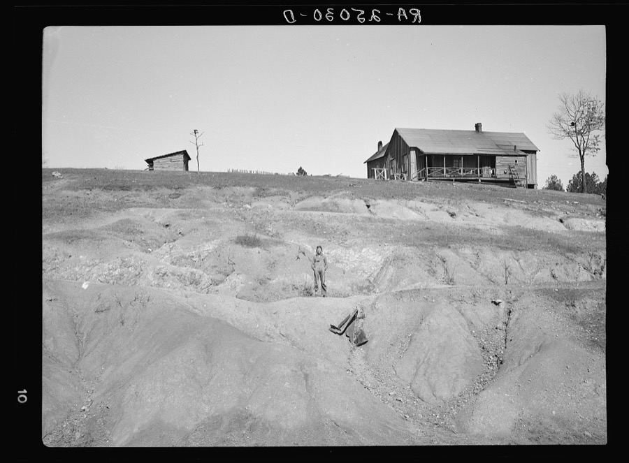
Eroded land on company-owned farm near Birmingham, Alabama
Rothstein, Arthur, 1937. Library of Congress
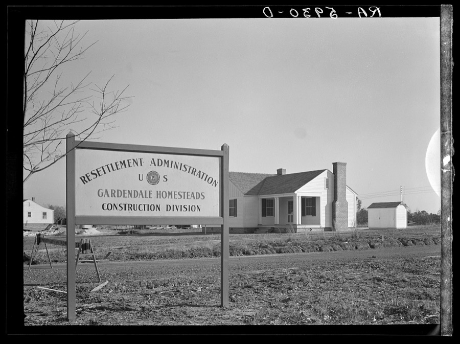
Rammed earth house at Gardendale, Alabama
Rothstein, Arthur, 1937. Library of Congress
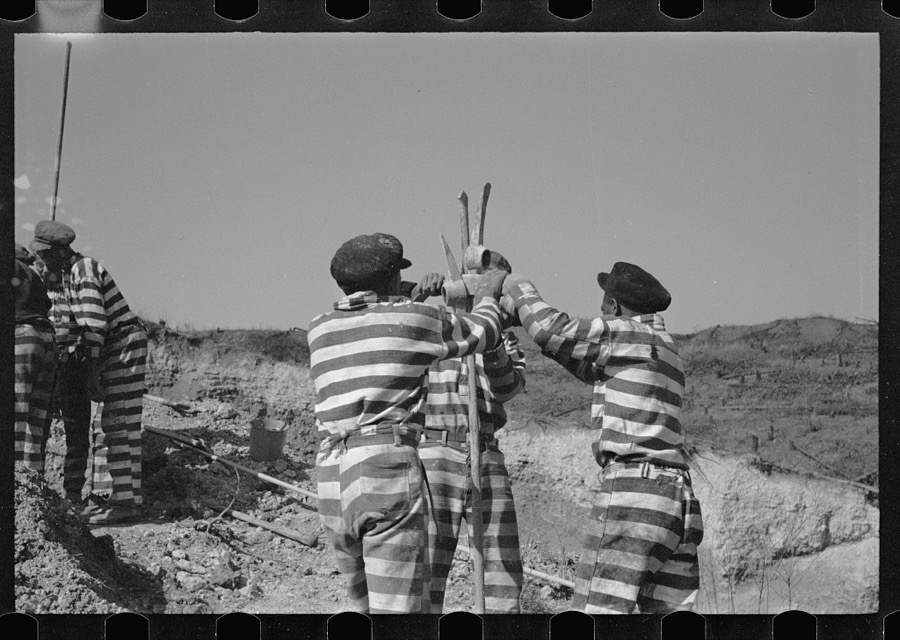
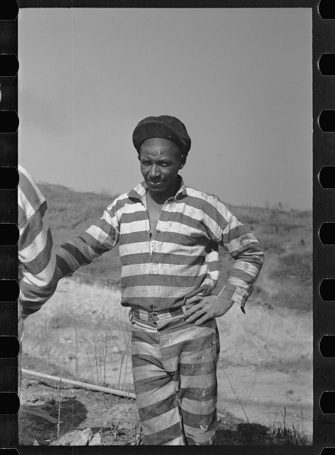
Negro road gang, Jefferson County, Alabama
Rothstein, Arthur, 1937. Library of Congress
House of Gardendale, Alabama
Rothstein, Arthur, 1937. Library of Congress
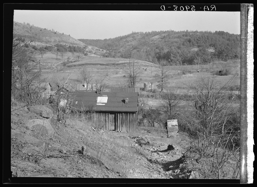
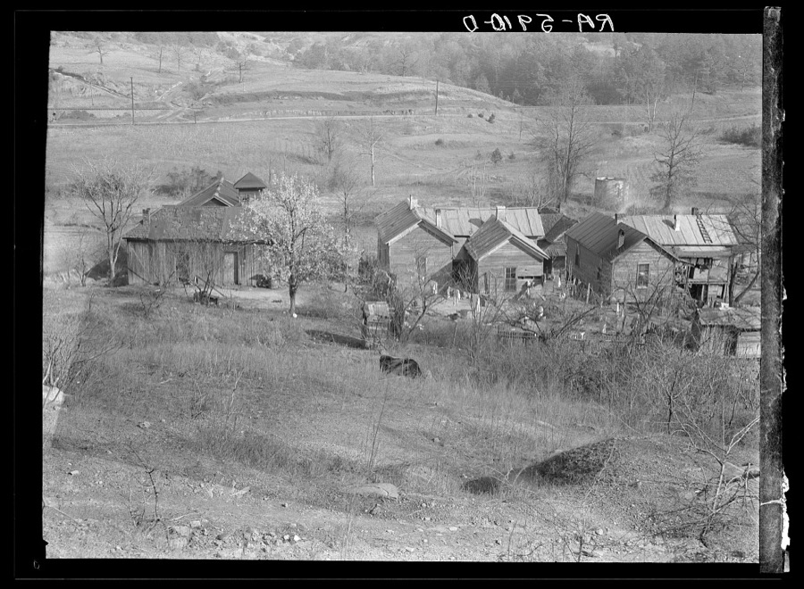
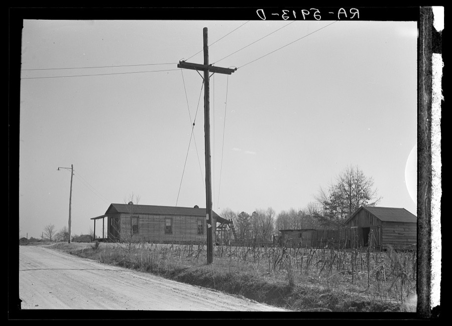
Rural slum near Birmingham, Alabama
Rothstein, Arthur, 1937. Library of Congress
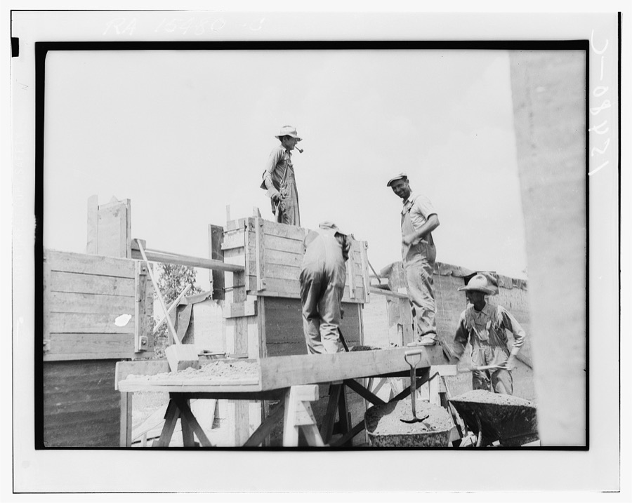
Rammed earth construction near Birmingham, Alabama
Hibben, Thomas, photographer, 1937. Library of Congress
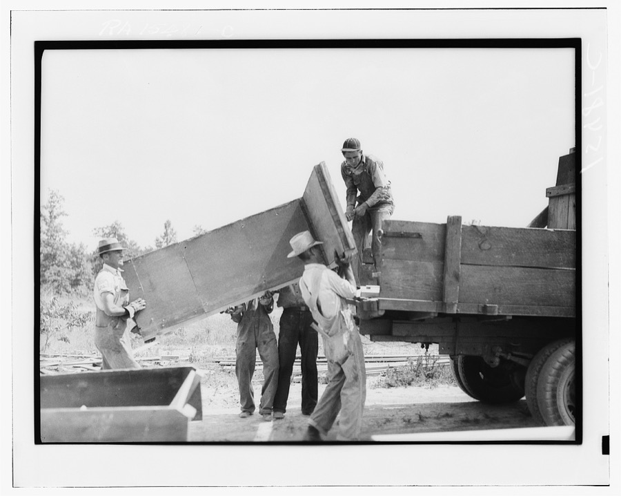
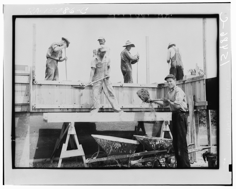
Rammed earth construction near Birmingham, Alabama. When one house has been completed the forms are moved to the next building site
Hibben, Thomas, photographer, 1937. Library of Congress
Barn constructed by rammed earth process. Gardendale, Alabama
Rothstein, Arthur, 1937. Library of Congress
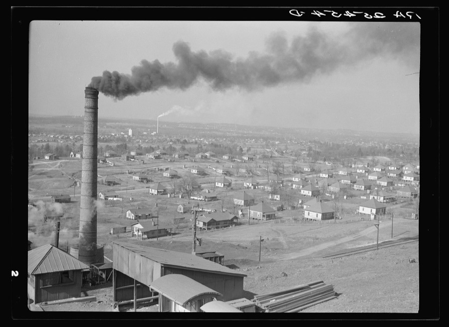
Company steel town. Jefferson County, Alabama
Rothstein, Arthur, 1937. Library of Congress
Company house near steel mill. Small garden plot in foreground. Ensley, Alabama
Rothstein, Arthur, 1937. Library of Congress
Negro road gang, Jefferson County, Alabama
Rothstein, Arthur, 1937. Library of Congress
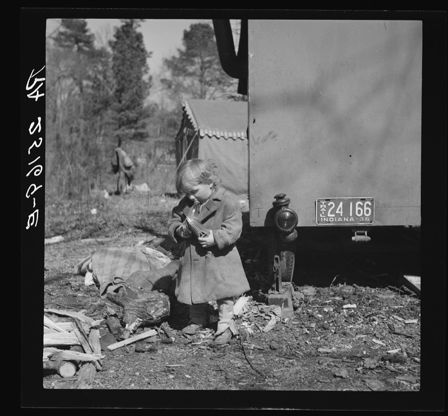
Child of migrant family near Birmingham, Alabama
Rothstein, Arthur, 1937. Library of Congress
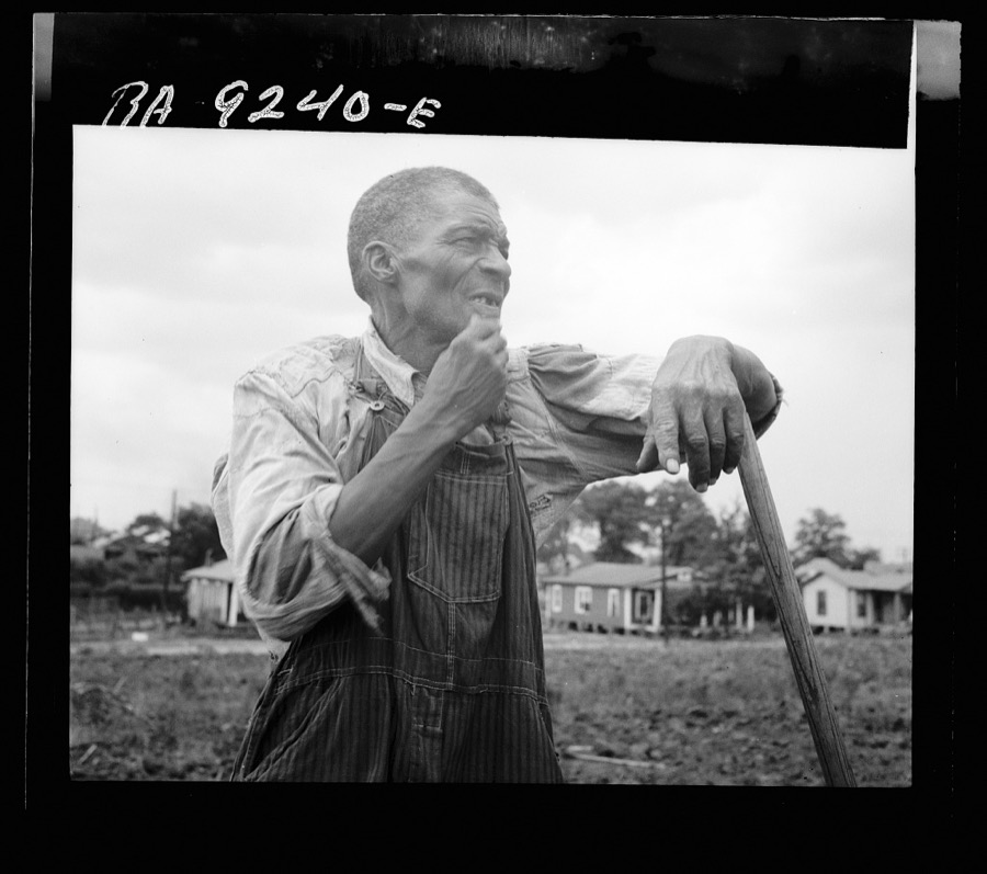
Hoe culture in the South. Negro farmhand. Near Birmingham, Alabama
Lange, Dorothea, photographer, 1936. Library of Congress
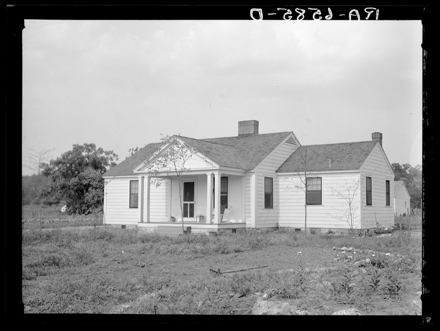
Five-room Southern colonial style house at the Palmerdale Homesteads, near Birmingham, Alabama
Mydans, Carl, photographer, 1936. Library of Congress
Steel mill and workers' houses near Birmingham, Alabama
Rothstein, Arthur, 1937. Library of Congress
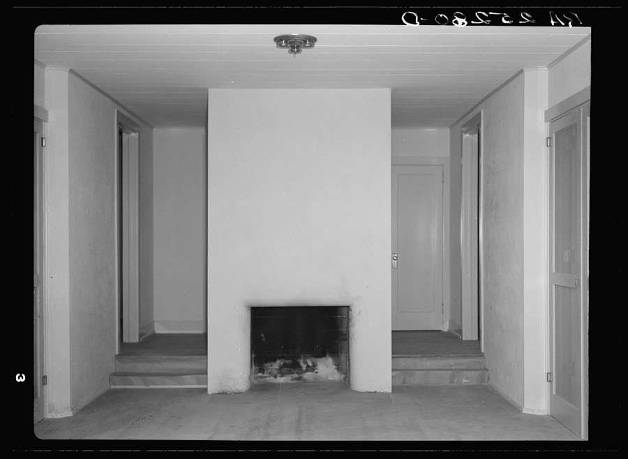
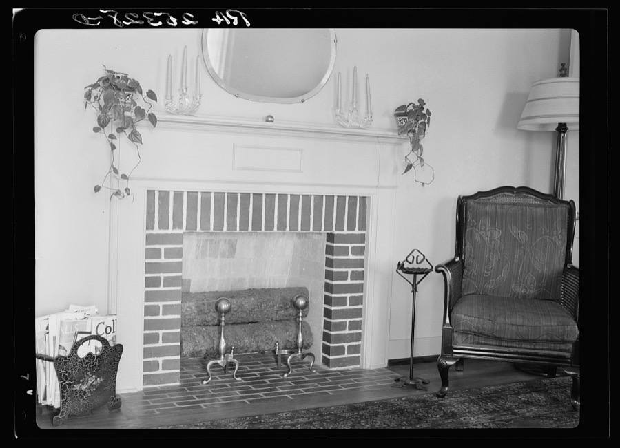
Interior of house at Gardendale, Alabama
Rothstein, Arthur, 1937. Library of Congress
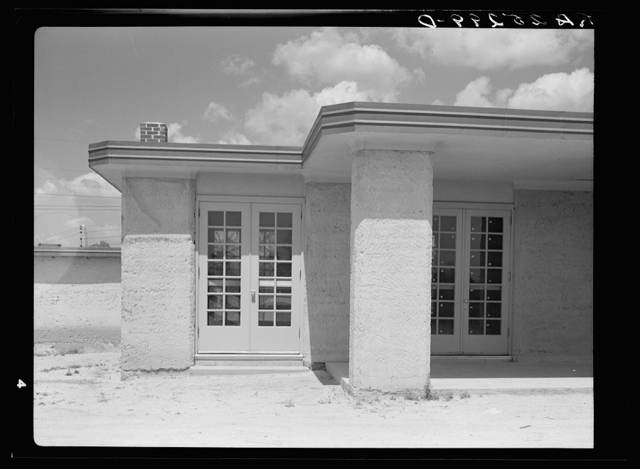
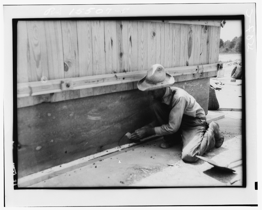
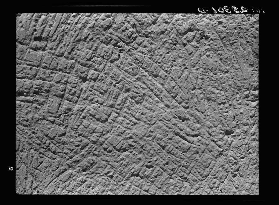
Detail of wall of rammed earth house. Gardendale, Alabama
Rothstein, Arthur, 1937. Library of Congress
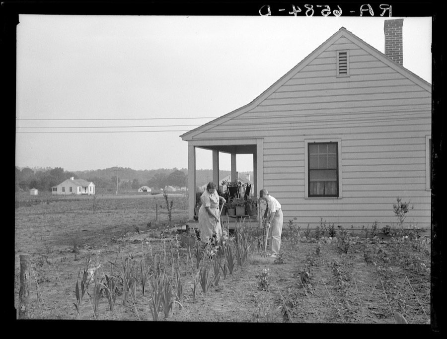
Five-room house and family at the Palmerdale Homesteads near Birmingham, Alabama
Mydans, Carl, photographer, 1936. Library of Congress
Interior of a Gardendale Homestead, Alabama
Rothstein, Arthur, 1937. Library of Congress
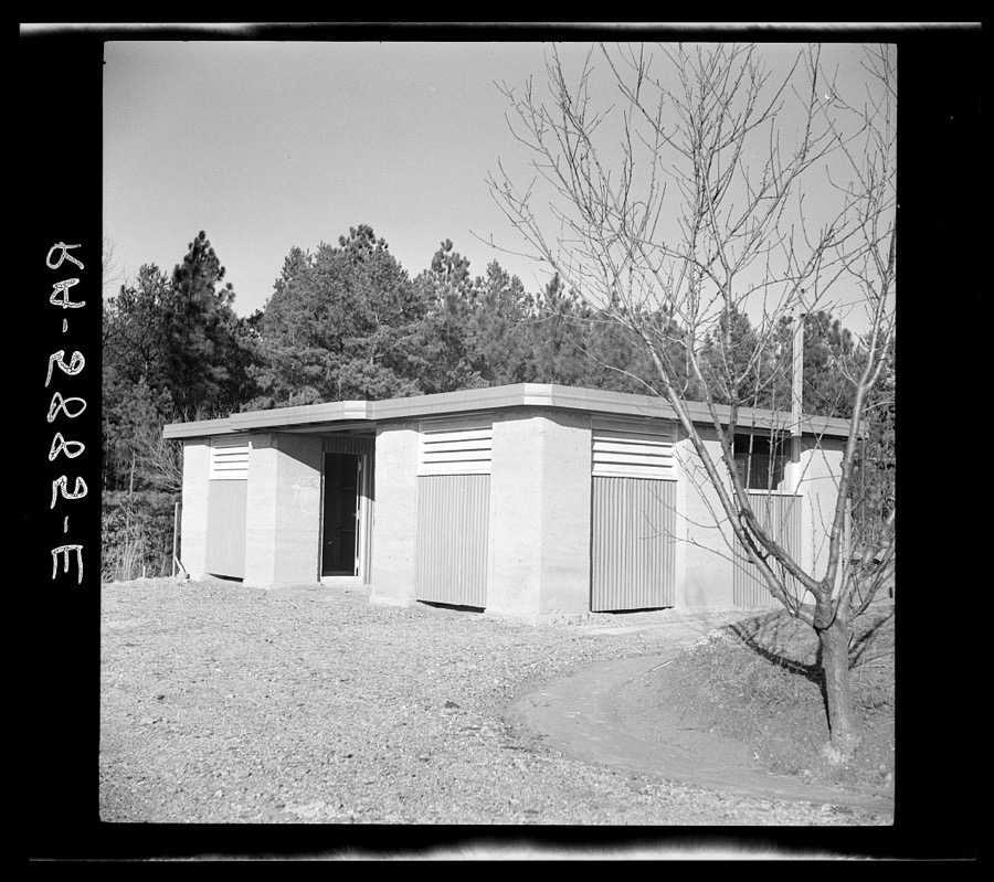
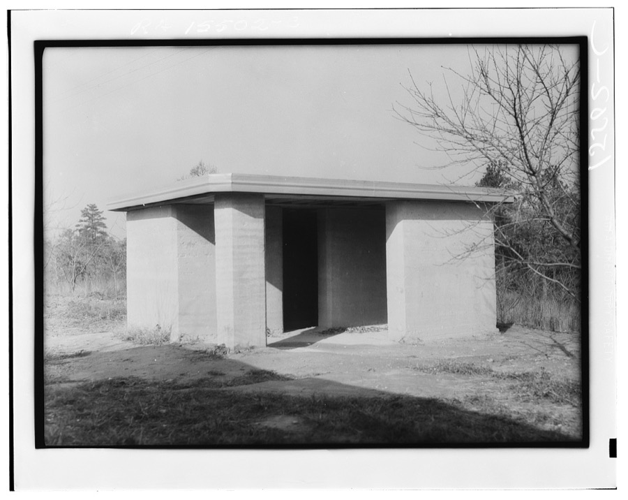
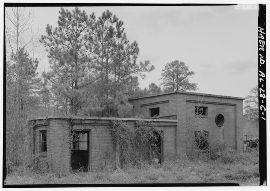
Rammed earth pump house near Birmingham, Alabama
Hibben, Thomas, photographer, 1937. Library of Congress
Rural slum area near Birmingham, Alabama
Rothstein, Arthur, 1937. Library of Congress
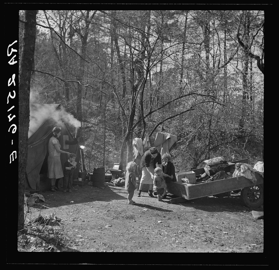
Scene of migrant camp on outskirts of Birmingham, Alabama
Rothstein, Arthur, 1937. Library of Congress
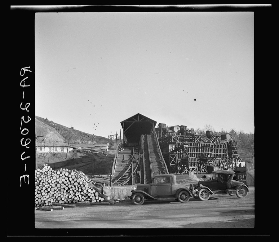
Coal mine at Lewisburg, Alabama. Some of the settlers on homesteads work here
Rothstein, Arthur, 1937. Library of Congress
Rammed earth construction near Birmingham, Alabama
Hibben, Thomas, photographer, 1937. Library of Congress
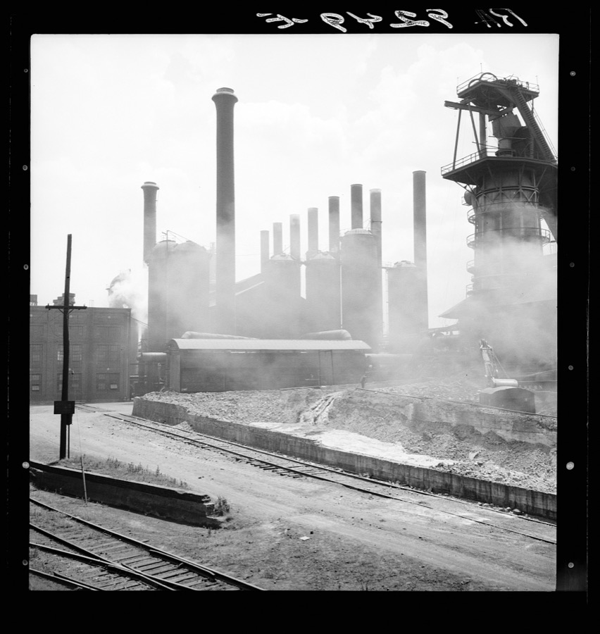
Sloss-Sheffield Steel and Iron Company. Birmingham, Alabama
Lange, Dorothea, photographer, 1936. Library of Congress
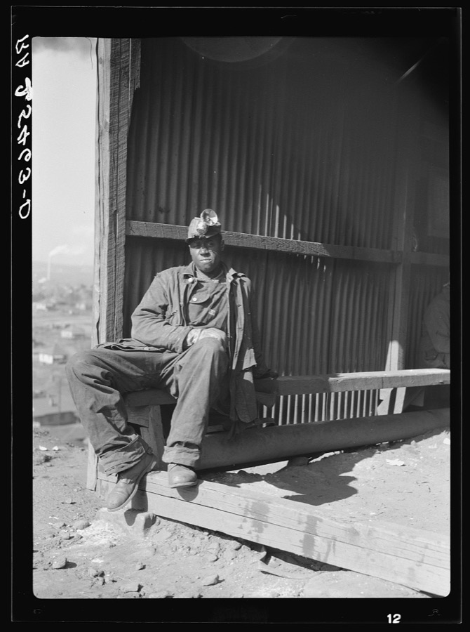
Iron ore miners. Jefferson County, Alabama
Rothstein, Arthur, 1937. Library of Congress
Rammed earth construction near Birmingham, Alabama. After each three-inch layer has been tamped, another layer is spread in the form and work resumed
Hibben, Thomas, photographer, 1937. Library of Congress
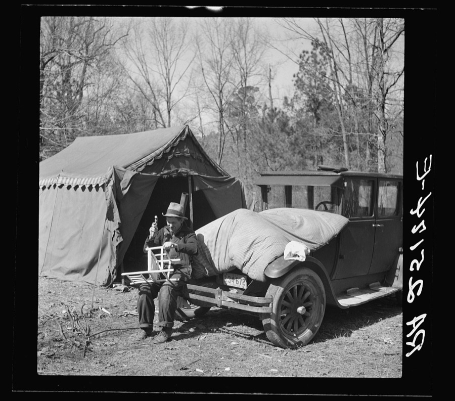
Making chairs to sell to tourists in a migrant camp on highway near Birmingham, Alabama
Rothstein, Arthur, 1937. Library of Congress
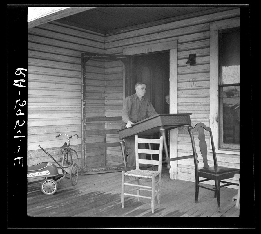
The Eargle Family moving their household goods out of their home at Fairfield, Alabama. They will become homesteaders at Gardendale, Alabama
Rothstein, Arthur, 1937. Library of Congress
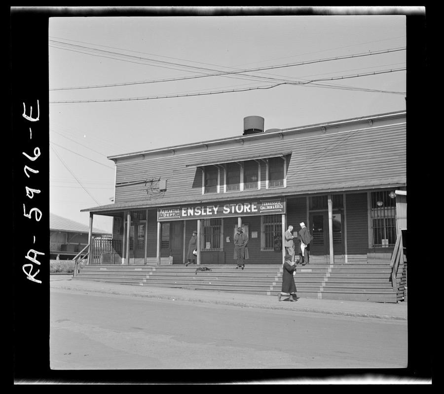
Company store for steel workers. Ensley, Alabama
Rothstein, Arthur, 1937. Library of Congress
Rural slum area near Birmingham, Alabama
Rothstein, Arthur, 1937. Library of Congress
Miners' houses. Birmingham, Alabama
Rothstein, Arthur, 1937. Library of Congress
Palmerdale Homestead boys working a watermelon patch near their house. Alabama
Mydans, Carl, photographer, 1936. Library of Congress
Rammed earth house at Gardendale, Alabama
Rothstein, Arthur, 1937. Library of Congress
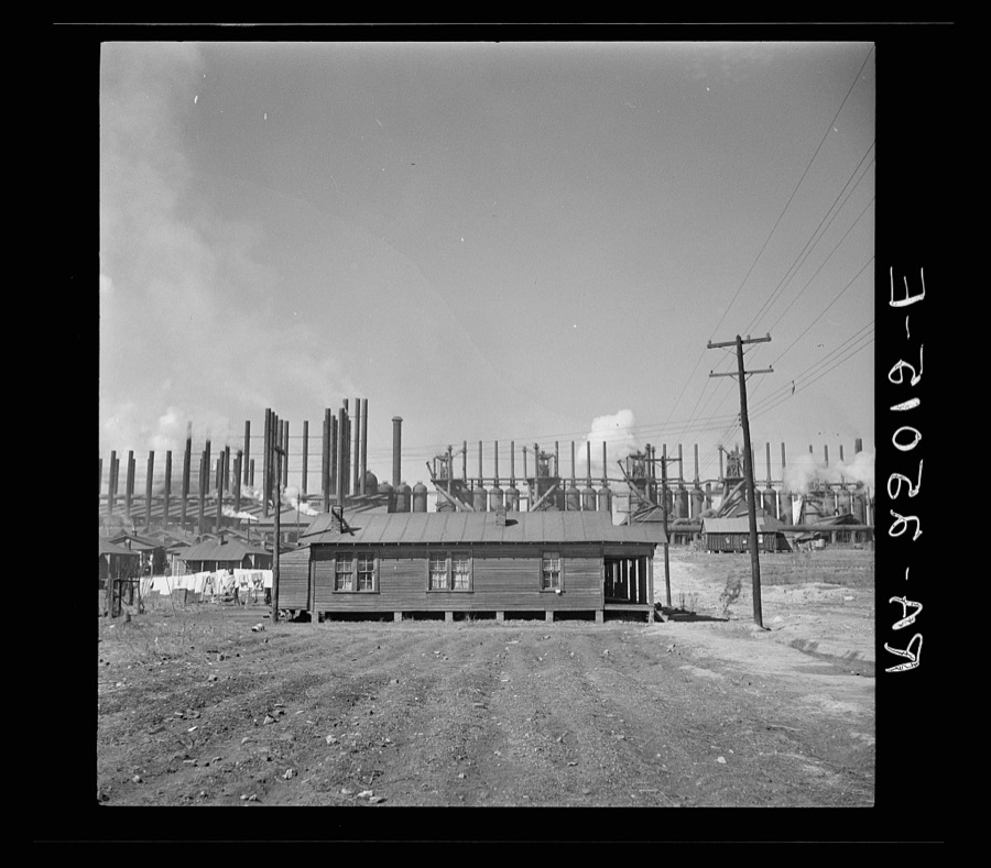
Company houses near steel mills. Ensley, Alabama
Rothstein, Arthur, 1937. Library of Congress
Home of Frank F. Densmore, near Bessemer, Alabama. Mr. Densmore and family will move to Greenwood, Alabama
Rothstein, Arthur, 1937. Library of Congress
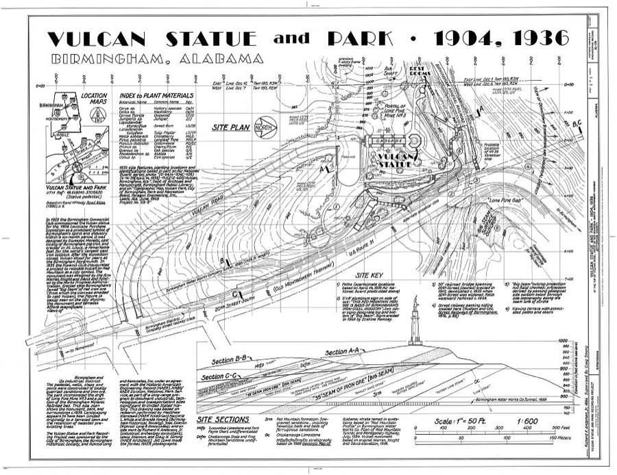
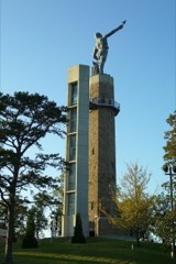
Vulcan Statue & Park, Atop Red Mountain off Vulcan Road, Birmingham, Jefferson County, AL
Photographer not recorded. Library of Congress
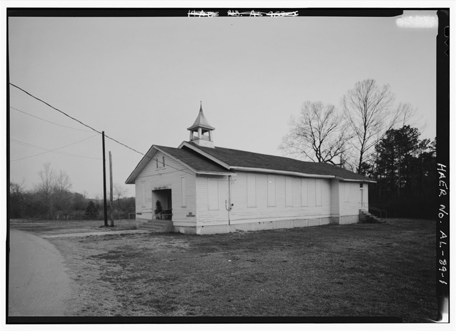
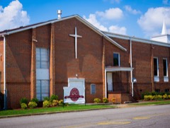
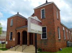
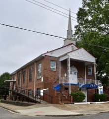
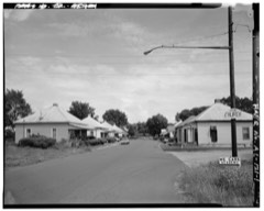
Tennessee Coal & Iron Company Church, State Route 150 at Morgan Road, Bessemer, Jefferson County, AL
Photographer not recorded. Library of Congress
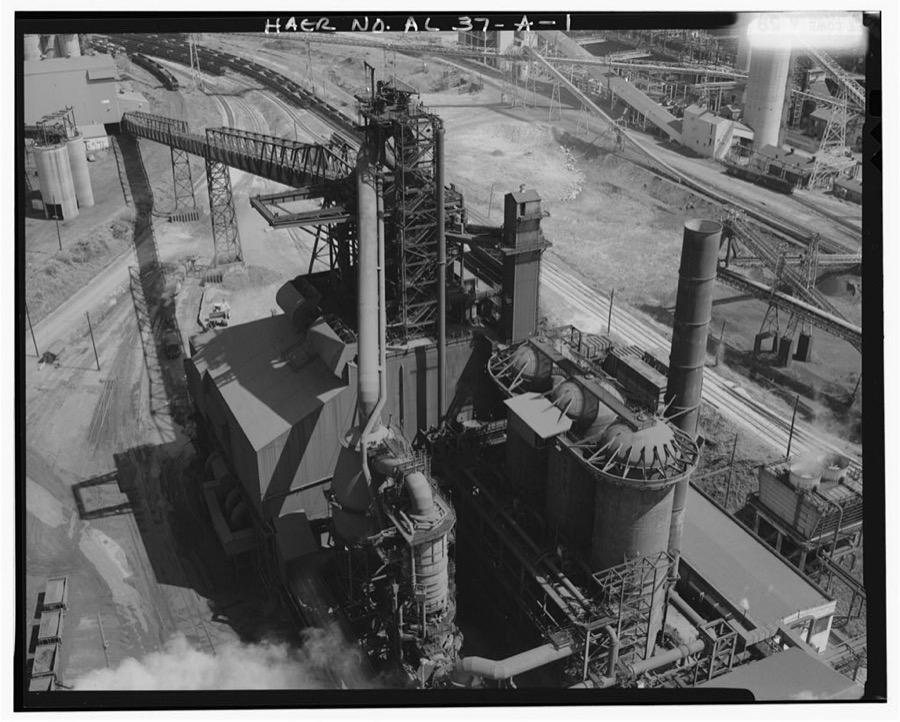
U.S. Steel, Fairfield Works, Blast Furnace No. 8, North of Valley Road, West of Ensley-Pleasant Grove Road, Fairfield, Jefferson County, AL
Photographer not recorded. Library of Congress
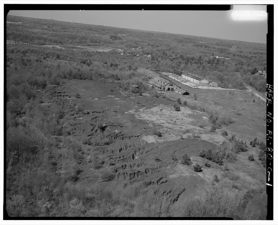
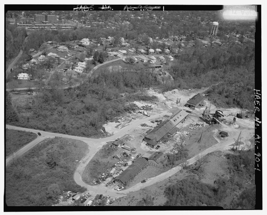
Tennessee Coal & Iron-U.S. Steel Surface Plant, Shop, East of State Route 150, on South slope of Red Mountain, Bessemer, Jefferson County, AL
Photographer not recorded. Library of Congress
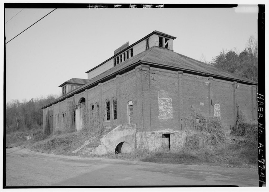
Pyne Red Ore Mine, Boiler House, State Route 150, Bessemer, Jefferson County, AL
Photographer not recorded. Library of Congress
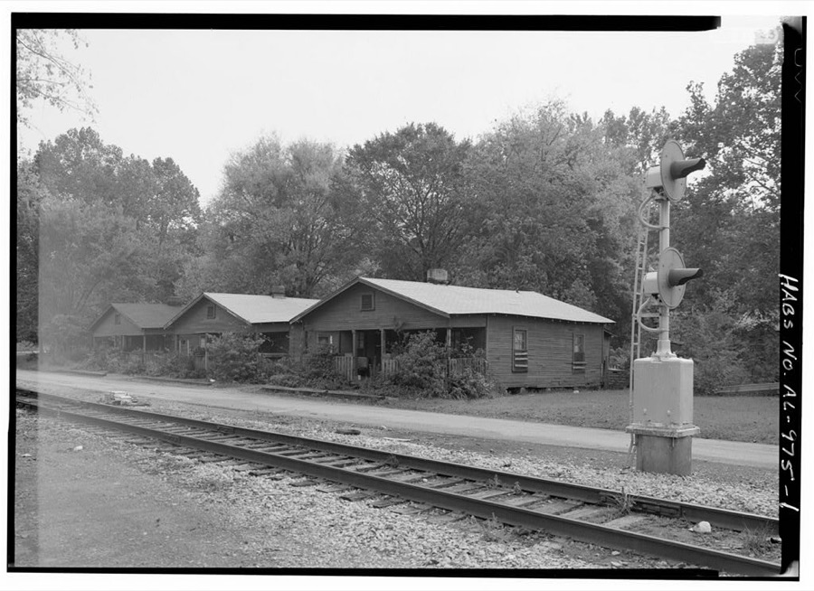
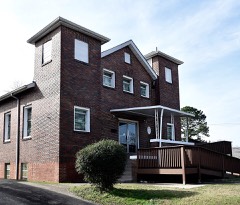
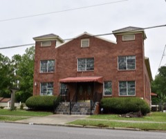
Worker Houses, 1500 Block Minnesota Avenue, Bessemer, Jefferson County, AL
Photographer not recorded. Library of Congress
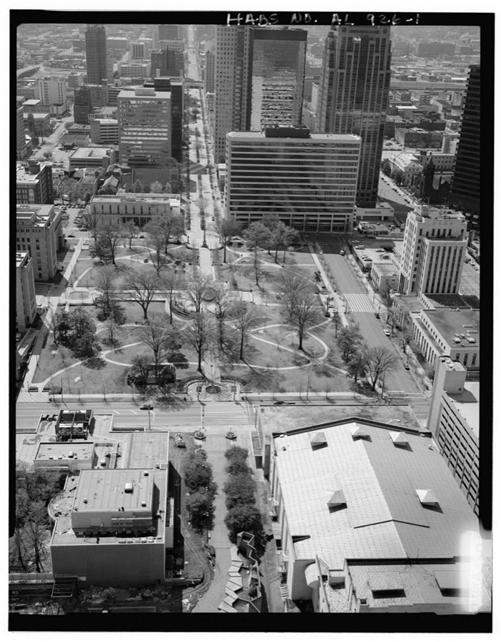
Linn Park, Bounded by Park Place, Eighth Avenue, Short Twentieth & Twenty-first Streets, Birmingham, Jefferson County, AL
Photographer not recorded. Library of Congress
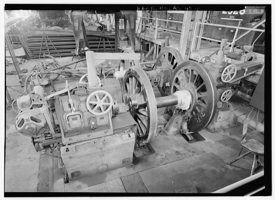
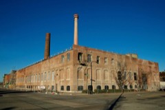
Norris Steam Restoration Shop, Norris Yards, east of Ruffner Road, Irondale, Jefferson County, AL
Photographer not recorded. Library of Congress
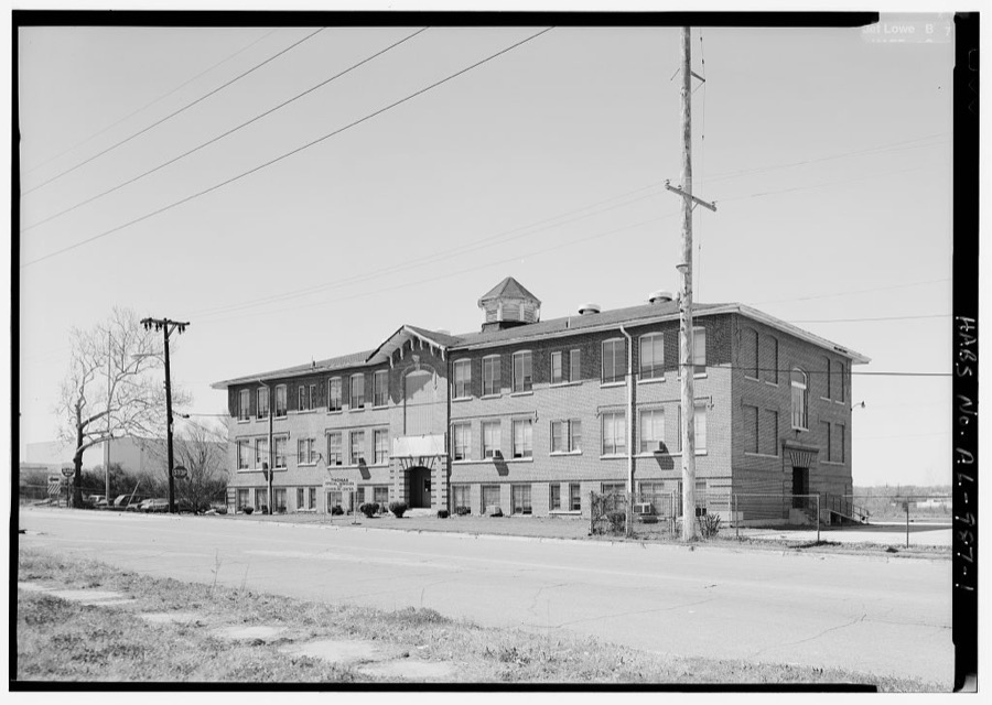
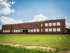
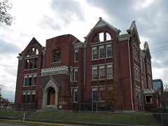
Thomas School, Second Avenue, North (Avondale), Birmingham, Jefferson County, AL
Photographer not recorded. Library of Congress
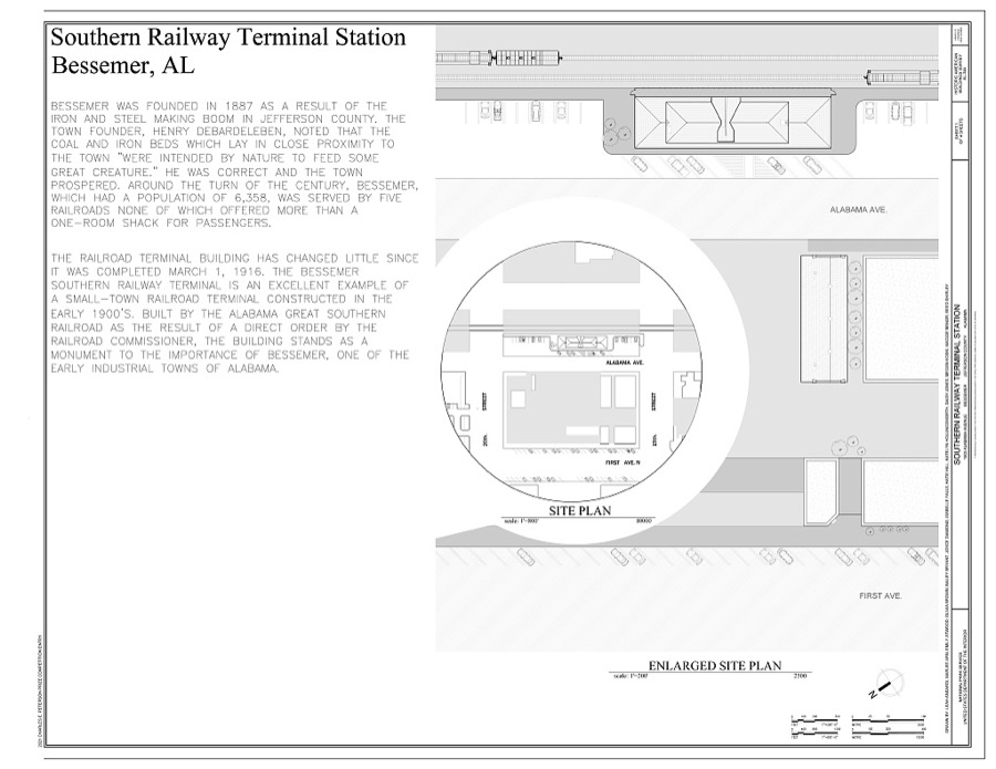
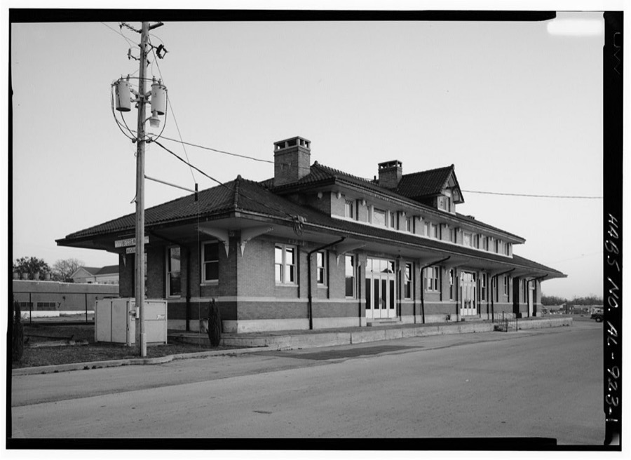
Southern Railway Terminal Station, 1905 Alabama Avenue, Bessemer, Jefferson County, AL
Photographer not recorded. Library of Congress
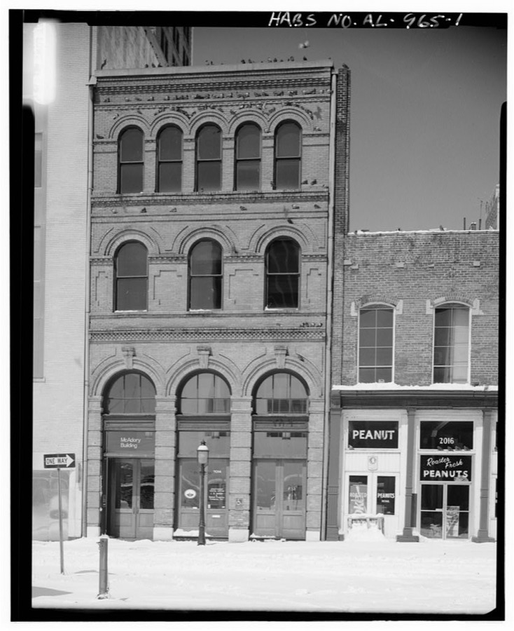
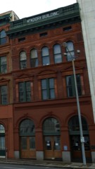
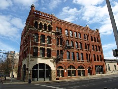
McAdory Building, 2014 Morris Avenue, Birmingham, Jefferson County, AL
Photographer not recorded. Library of Congress
Brookside Coal Mine, Tipple (Foundation), Mount Olive Road, North of Five Mile Creek Bridge, Brookside, Jefferson County, AL
Photographer not recorded. Library of Congress
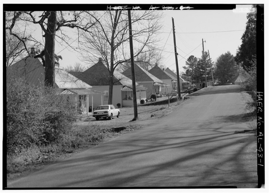
North Birmingham (Residential Streetscapes), Birmingham, Jefferson County, AL
Photographer not recorded. Library of Congress
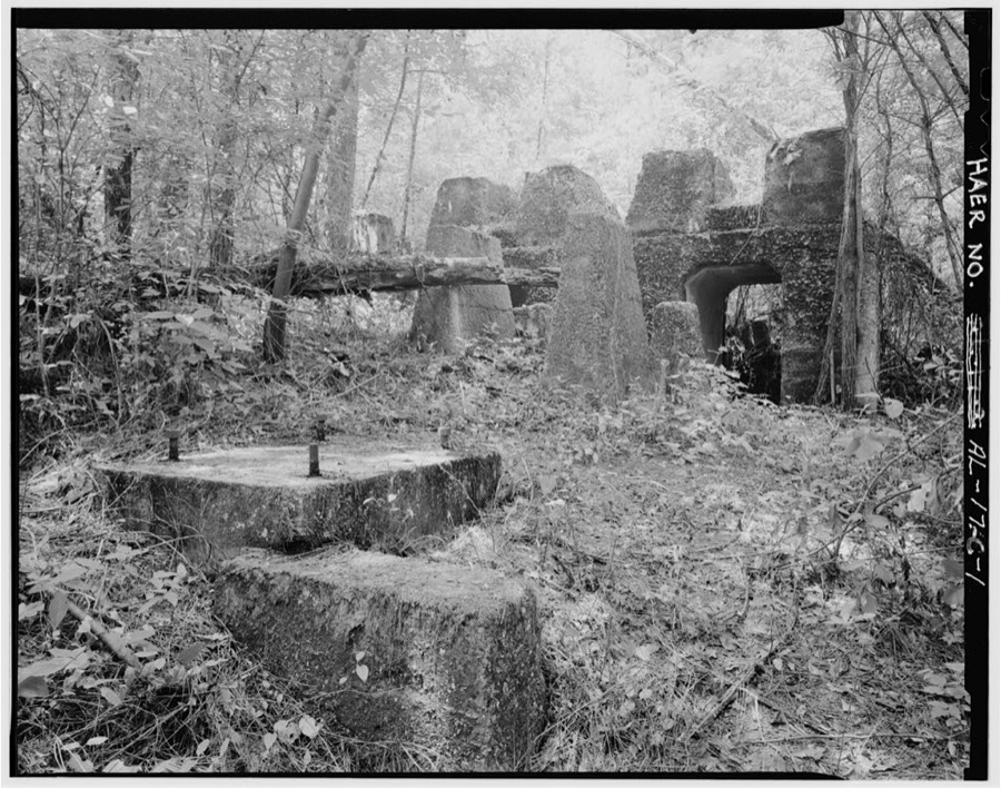
Pratt Coal & Coke Company, Pratt Mines, Convict Cemetery, Bounded by First Street, Avenue G, Third Place & Birmingham Southern Railroad, Birmingham, Jefferson County, AL
Photographer not recorded. Library of Congress
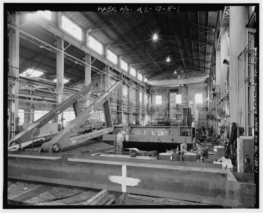
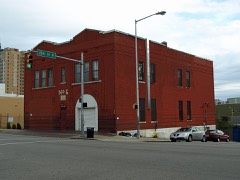
Hardie-Tynes Manufacturing Company, Erection Shop, 800 28th Street North, Birmingham, Jefferson County, AL
Photographer not recorded. Library of Congress
Southern Railway Depot, 1905 Alabama Avenue, Bessemer, Jefferson County, AL
Photographer not recorded. Library of Congress
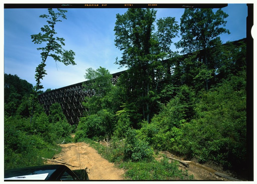
Birmingham Mineral Railroad Viaduct, Spanning Newfound Creek, Birmingham, Jefferson County, AL
Photographer not recorded. Library of Congress
Hardie-Tynes Manufacturing Company, Workshop, 800 28th Street North, Birmingham, Jefferson County, AL
Photographer not recorded. Library of Congress
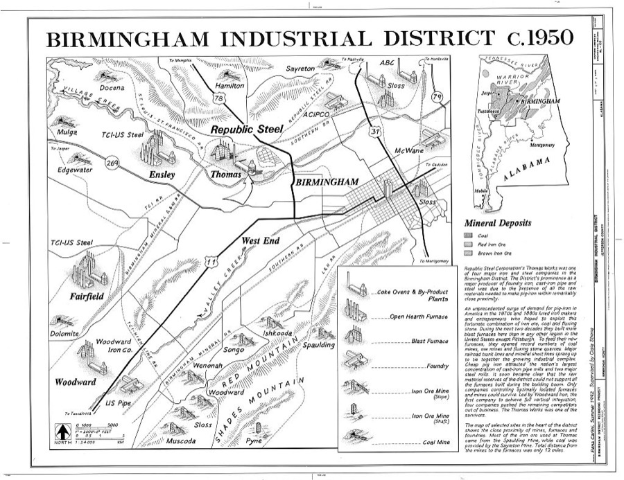
Birmingham Industrial District, Birmingham, Jefferson County, AL
Photographer not recorded. Library of Congress
Muscoda Red Ore Mining Community, Bessemer, Jefferson County, AL
Photographer not recorded. Library of Congress
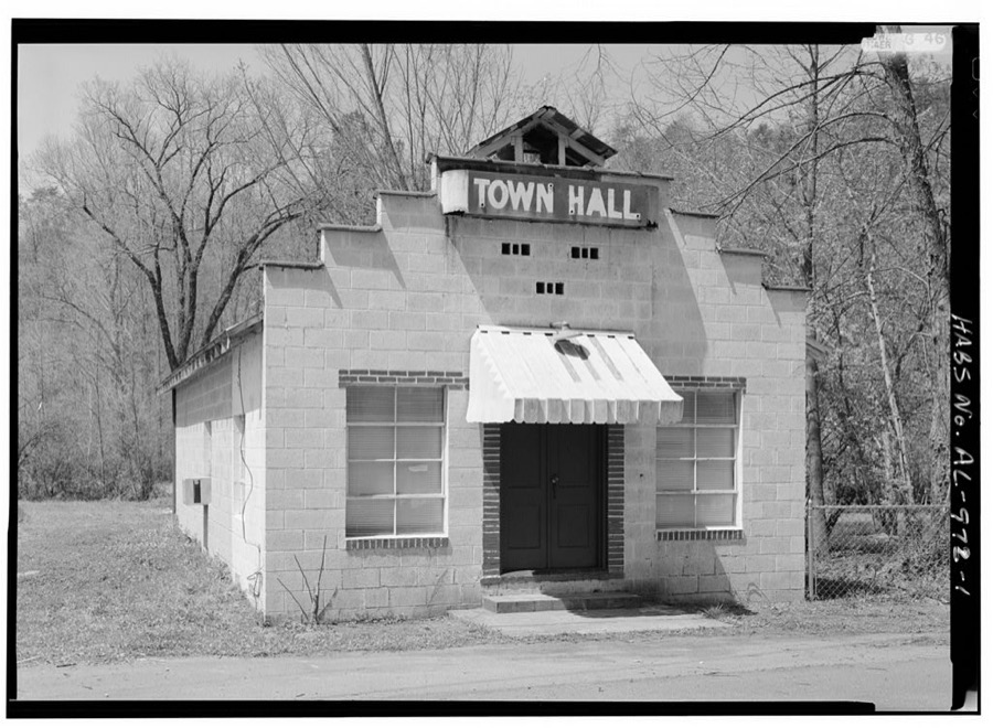
Cardiff Town Hall, Old County Road 109, Cardiff, Jefferson County, AL
Photographer not recorded. Library of Congress
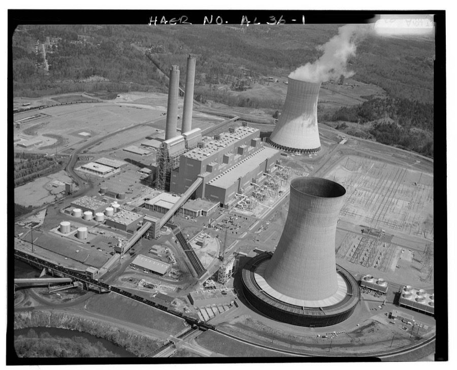
Miller Electric Generating Plant, Warrior River, Birmingham, Jefferson County, AL
Photographer not recorded. Library of Congress
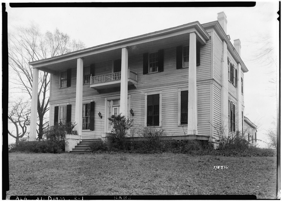
Walker House, 300 Center Street, Birmingham, Jefferson County, AL
Photographer not recorded. Library of Congress

Places on the National Register

189

Every property in this county listed on the National Register of Historic Places, with the year it was listed and the federal nomination document.

Photograph PropertyType ListedReference
Age-Herald Buildingbuilding198484000620
Agee Housebuilding198686001962
Alabama Penny Savings Bankbuilding198080004471
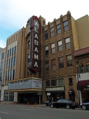
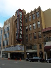
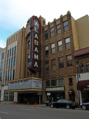
Alabama Theatrebuilding197979000386
American Laundry Company Buildingbuilding2024100010966
Anderson Place Historic Districtdistrict198686001981
Anderson Place Historic District (Boundary Increase)district199191000592
Arlingtonbuilding197070000103
Arlington Parkdistrict199595000097
Automotive Historic Districtdistrict199191000661
Avalonbuilding198585000444
Avondale Park Historic Districtdistrict199898000106
Bank of Ensleybuilding198484000623
Jonathan W. Bass Housebuilding200808000456
Belcher-Nixon Buildingbuilding200909000603
Belview Heights Historic Districtdistrict200000000713
Bethel Baptist Church, Parsonage, and Guardhousebuilding200505000455
Birmingham Wholesale & Retail (West) Historic Districtdistrict2024100004132
Birmingham Wholesale Warehouse Loop West Historic Districtdistrict201515000429
Railway Birmingham Light and Power Buildingbuilding198080000688
Birmingham-Southern Collegedistrict199999000466
Blessed Sacrament Academybuilding198080000689
Blessed Sacrament Catholic Churchbuilding201515000430
Bottega Favoritabuilding198686001952
Bradshaw Housebuilding198080000690
Brown Hallbuilding199493001031
Dr. A. M. Brown Housebuilding197474000413
Bush Hills Historic Districtdistrict2024100004133
Cahaba Homestead Village Historic Districtdistrict200606000187
Caldwell-Milner Buildingbuilding197979000387
Canaan Baptist Churchbuilding200505000290
Carver Theatrebuilding198282002041
Center Street Historic Districtdistrict200707001027
Chestnut Hill Historic Districtdistrict198787000940
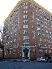
Claridge Manor Apartmentsbuilding198484000625
Continental Gin Companydistrict198080000691
Country Club Historic Districtdistrict200303001133
Crittenden Buildingbuilding198181000126
Cullom Street-Twelfth Street South Historic Districtdistrict198686001890
Downtown Bessemer Historic Districtdistrict199292000852
Downtown Birmingham Historic Districtdistrict198282002039
Downtown Birmingham Historic District (Boundary Increase II)district199898000105
Downtown Birmingham Historic District (Boundary Increase III)district201614001001
Downtown Birmingham Historic District (Boundary Increase)district198585000305
Downtown Birmingham Retail and Theatre Historic Districtdistrict198989000315
Downtown Birmingham Retail and Theatre Historic District (Boundary Increase)district199898000709
Downtown Ensley Historic Districtdistrict201009000604
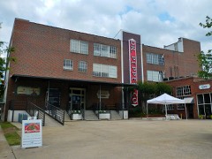
Dr. Pepper Syrup Plantbuilding199090001317
Dunbar High Schoolbuilding201110001051
East End Baptist Churchbuilding200505000292
Empire Buildingbuilding198282002040
Enslen Housebuilding197575000314
Episcopal Church of the Adventbuilding198383002972
Exclusive Furniture Shopbuilding198484000626
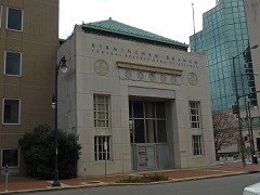
Federal Reserve Bank of Atlanta-Birmingham Branchbuilding200303000230
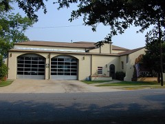
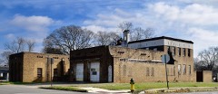
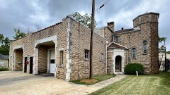
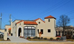
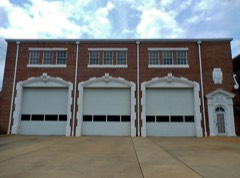
Fire Station No. 10building199090001556
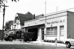
Fire Station No. 11building199090001557
Fire Station No. 12building199090001558
Fire Station No. 15building199090001559
Fire Station No. 16building199090001560
Fire Station No. 19building199090001561
Fire Station No. 22building199090001562
Fire Station No. 3building199090001554
Fire Station No. 6building199090001555
First Baptist Church, East Thomasbuilding200505000291
First Baptist Church, Kingstonbuilding200505000300
First Christian Church Education Buildingbuilding198080000692
First Ebenezer Baptist Churchbuilding200505000299
First National-John A. Hand Buildingbuilding198383002976
First Presbyterian Churchbuilding198282001604
First United Methodist Churchbuilding198282001605
Five Mile Creek Bridgestructure197373000350
Five Points South Historic Districtdistrict198383002973
Five Points South Historic District (Boundary Increase II)district199191000593
Five Points South Historic District (Boundary Increase)district198686001984
Flintridge Buildingbuilding200404000560
Forest Parkdistrict198080000693
Fox Buildingbuilding198080000694
A.G. Gaston Buildingbuilding200000001028
John D. and Katherine Gleissner Lustron Housebuilding200000000133
Glen Iris Park Historic Districtdistrict198484000628
Graymont Schoolbuilding200707000838
Hanover Court Apartmentsbuilding198888000446
Hanover Place Historic Districtdistrict200303001132
Heaviest Corner on Earthdistrict198585001502
Highland Avenue Historic Districtdistrict197777000206
Highland Plaza Apartmentsbuilding198484000630
Hollywood Historic Districtdistrict200202000482
Hotel Redmontbuilding198383002974
Howard College Estates Historic Districtdistrict199999000467
Ideal Department Store Buildingbuilding198585000918
Jefferson County Courthousebuilding198282001606
A.D. King Housebuilding200808000428
Kress, S. H., and Company Buildingbuilding198282002042
Lakeview Schoolbuilding197777000207
Lakewood Historic Districtdistrict200000000710
Leeds Downtown Historic Districtdistrict199594001546
Liberty National Life Insurance Company Buildingbuilding2025100011929
Loveman, Joseph, & Loeb Department Storebuilding198383002971
Lustron House on Columbiana Roadbuilding200000000131
Magnolia Avenue South Historic Districtdistrict2018100002766
Manchester Terracebuilding198989000163
McAdory Buildingbuilding197979000388
Thomas McAdory Housebuilding197272000161
Milner Heights Historic Districtdistrict200303001130
Morris Avenue Historic Districtdistrict197373000349
Morris Avenue-First Avenue North Historic Districtdistrict198686000009
Mount Ararat Baptist Churchbuilding200505000307
Mountain Brook Estates Buildingbuilding200303000232
Mountain Brook Office Park Historic Districtdistrict2022100008399
Morrow and Sinnige Nabers Buildingbuilding198080000695
New Pilgrim Baptist Churchbuilding200705000306
New Rising Star Baptist Churchbuilding200505000305
North Lakeview Industrial Districtdistrict201616000399
Norwood Boulevard Historic Districtdistrict200101001166
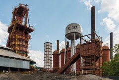
Number One Furnace, Sloss Blast Furnace Sitestructure197272000162
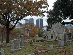
Oak Hill Cemeterysite197777000208
Orlando Apartmentsbuilding199090000309
Owen Plantation Housebuilding197676000330
Dr. Thomas McAdory Owen Housebuilding198282002038
Palmerdale Homesteads Historic Districtdistrict2019100004642
Parham Apothecary Buildingbuilding199696000595
Parsonage, Sixteenth Street Baptist Churchbuilding200606000940
Peace Baptist Churchbuilding200505000293
Phelan Park Historic Districtdistrict198988003241
Pinson Hills Historic Districtdistrict201615000975
Pinson Main Street Historic Districtdistrict201615000976
Powell Avenue Steam Plantbuilding201414001002
Powell Schoolbuilding197676000331
Pratt City Carline Historic Districtdistrict198989000118
Pratt Schoolbuilding199493001591
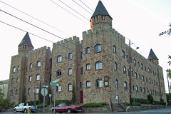
Quinlan Castlebuilding198484000632
Ramsay-McCormack Buildingbuilding200908001273
Red Mountain Suburbs Historic Districtdistrict198585002719
Redmont Garden Apartmentsdistrict199393000761
William Reed Housebuilding198787001778
Rhodes Parkdistrict198282002043
Rickwood Fieldstructure199392001826
Ridgely Apartmentsbuilding198484000634
Roebuck Springs Historic Districtdistrict199999000149
Rosedale Historic Districtdistrict200404000236
Rosedale Park Historic Districtdistrict200404000235
Sadler Housebuilding197575000315
Saint Andrew's Episcopal Churchbuilding198686001959
Sardis Baptist Churchbuilding200505000298
Seaboard Air Line Railway Freight Depotbuilding2023100009643
Second Presbyterian Churchbuilding198686002616
Shady Grove Baptist Churchbuilding200505000297
Sixteenth Street Baptist Churchbuilding198080000696
Slossfield Community Centerdistrict200808000457
Joseph Riley Smith Historic Districtdistrict198585002898
Smithfield Historic Districtdistrict198585002899
Smithfield Historic District (Boundary Increase)district199898001022
South Central Bell Buildingbuilding2020100004626
South East Lake Historic Districtdistrict199797000652
South Highlands of East Lake Historic Districtdistrict200303001136
Southern Railroad Depotbuilding198383002975
Southern Railway Terminal Stationbuilding197373000348
Southside Historic Districtdistrict200505000647
Southside Historic District (Boundary Increase)building201111000374
St. Luke AME Churchbuilding200505000296
St. Luke AME Zion Churchbuilding200505000295
St. Paul Methodist Churchbuilding200606000940
St. Paul's Catholic Churchbuilding198282001607
Steiner Bank Buildingbuilding197474000414
Stonecroftbuilding200101001290
Tarrant City Downtown Historic Districtdistrict201009000105
Thomas By-Product Coke Works Historic Districtdistrict199595001060
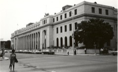
Thomas Historic Districtdistrict198989000119
U.S. Post Officebuilding197676000332
Vulcanobject197676000333
Waters Buildingbuilding198080000697
Watts Buildingbuilding197979000389
West End Hills Missionary Baptist Churchbuilding200505000303
West End Masonic Templebuilding198787001417
West Parksite198484000636
Whilldin Buildingbuilding198282002044
Williams Hallbuilding199493001031
Wimberly-Thomas Warehousebuilding198585002718
Windham Construction Office Buildingbuilding198484000638
Woodlawn City Hallbuilding198888000990
Woodlawn Comercial Historic Districtdistrict199190002179
Woodlawn Highlands Historic Districtdistrict200606000438
Woodlawn Historic Districtdistrict200303001129
Woodward Buildingbuilding198383002977
Bernice L. Wright Lustron Housebuilding200000000130
Wylam Fire Stationbuilding199090001563
Zinszer's Peter, Mammoth Furniture Housebuilding198080000698

Digitised newspapers

20 issues

Sampled issues, machine-read from the Library of Congress scan and published page by page, so every headline and column is searchable text.

Wide-Awake

Birmingham, Ala., 189? to 1906. Machine-read from the Library of Congress scan.

Birmingham Age-Herald

Birmingham, Ala., 1890 to 1895. Machine-read from the Library of Congress scan.

The Birmingham Age-Herald

Birmingham, Ala., 1902 to 1950. Machine-read from the Library of Congress scan.

Birmingham State Herald

Birmingham, Ala., 1895 to 1897. Machine-read from the Library of Congress scan.

The Age-Herald

Birmingham, Ala., 1897 to 1902. Machine-read from the Library of Congress scan.

Bird's-eye views and land ownership maps

1

Drawn when these were printed as single large sheets: the town seen from the air, and the county divided into its farms with every owner named. Each opens the original at the Library of Congress.

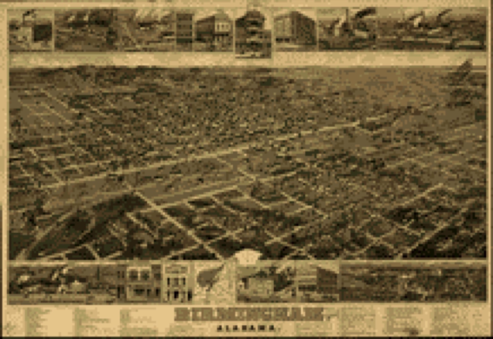
Bird's-eye view, 1885 - Birmingham, Alabama
Bird's-eye view (1885) - Birmingham, Alabama. Library of Congress.

Photographs from libraries nationwide

44 of 155 shown

Selected from the Digital Public Library of America's 155 image records catalogued for this county. Every one shown here carries a public-domain status or a licence that permits reuse on a site that carries advertising; non-commercial, share-alike and restricted images are excluded. The selection is spread across the county's towns (at most eight per town), so no single institution's bulk upload crowds out the rest. Each opens the holding library's record, and the complete set at the Digital Public Library of America is one click away.

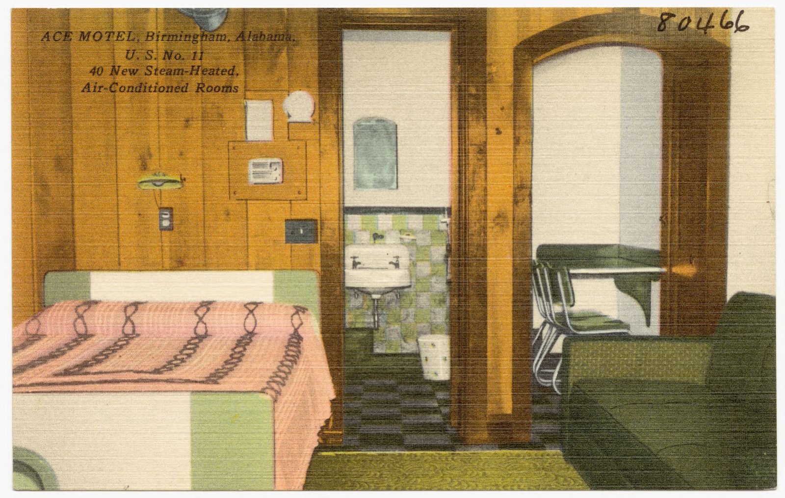
Ace Motel, Birmingham, Alabama, Boston Public Library - undated
Ace Motel, Birmingham, Alabama. Boston Public Library, via the Digital Public Library of America.
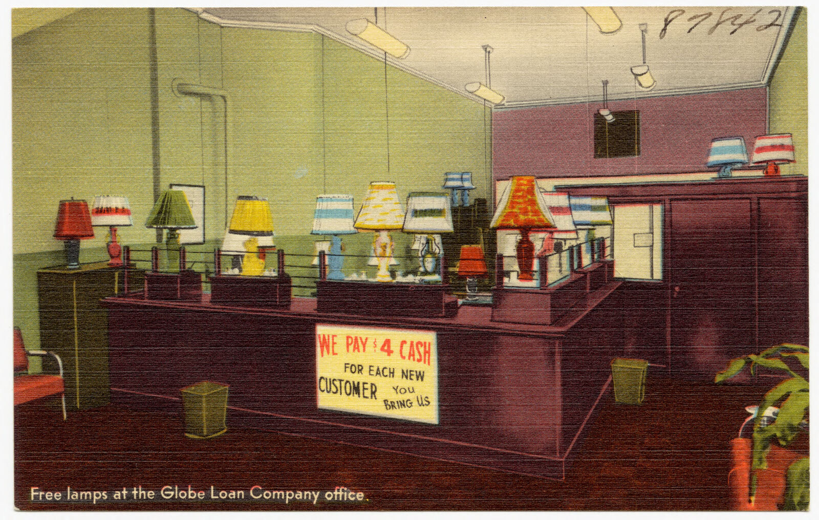
Free lamps at the Globe Loan Company office, Boston Public Library - undated
Free lamps at the Globe Loan Company office. Boston Public Library, via the Digital Public Library of America.
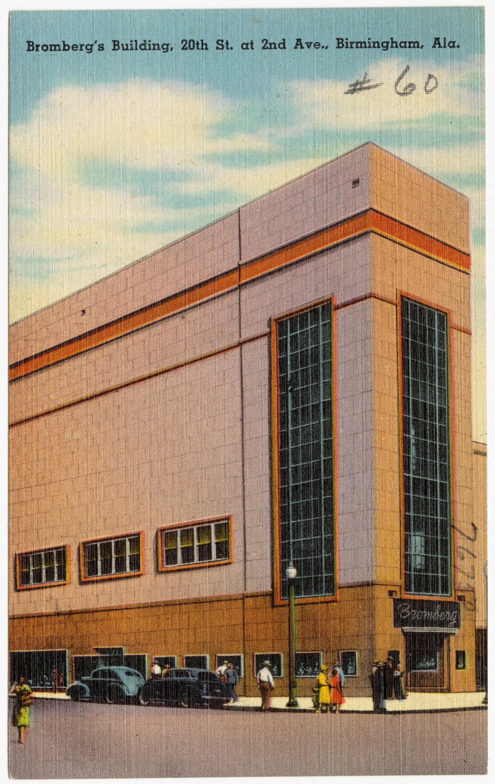
Bromberg's Building, 20th St. at 2nd Ave., Birmingham, Ala., Boston Public Library - undated
Bromberg's Building, 20th St. at 2nd Ave., Birmingham, Ala.. Boston Public Library, via the Digital Public Library of America.
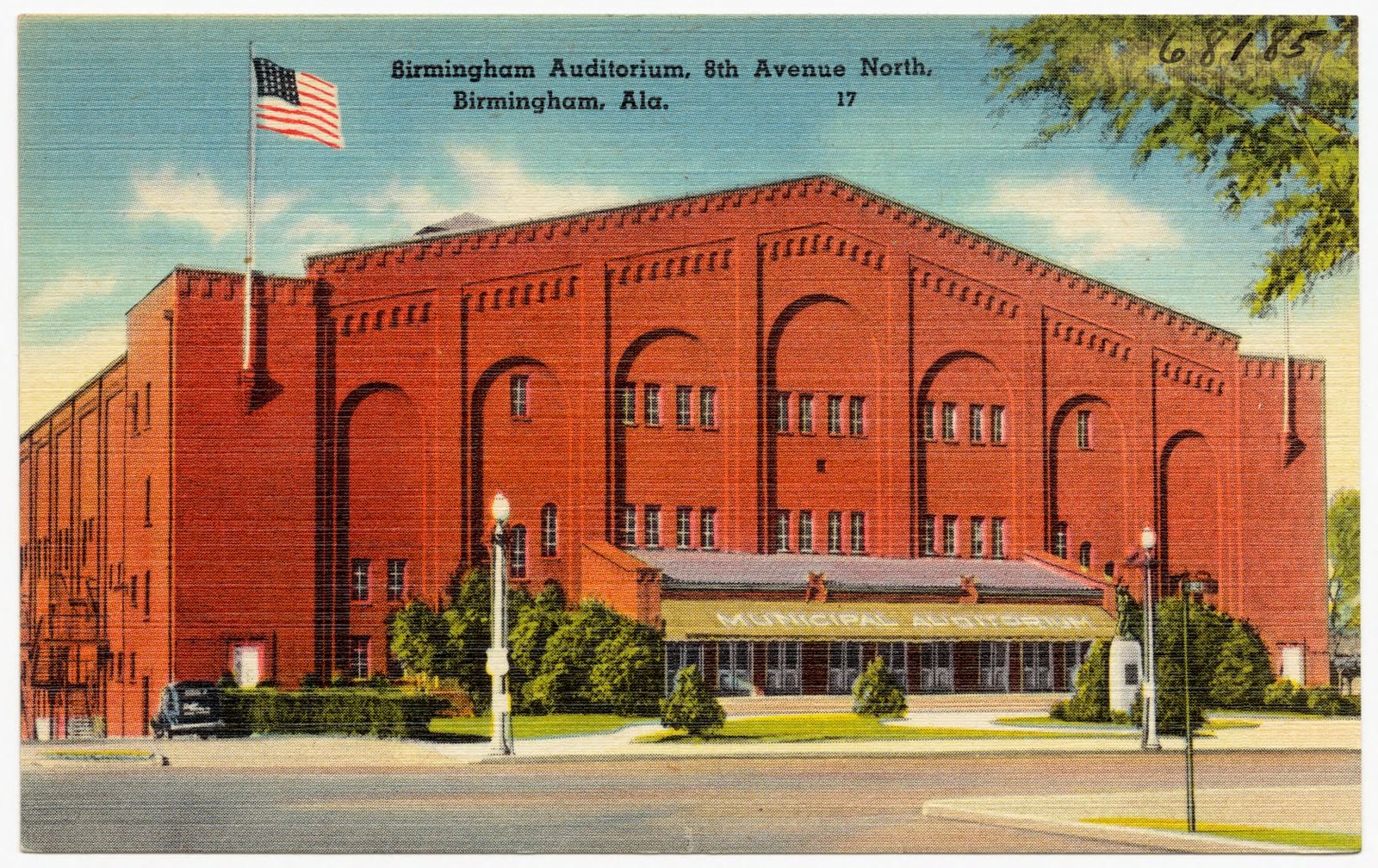
Birmingham Auditorium, 8th Avenue North, Birmingham, Ala., Boston Public Library - undated
Birmingham Auditorium, 8th Avenue North, Birmingham, Ala.. Boston Public Library, via the Digital Public Library of America.
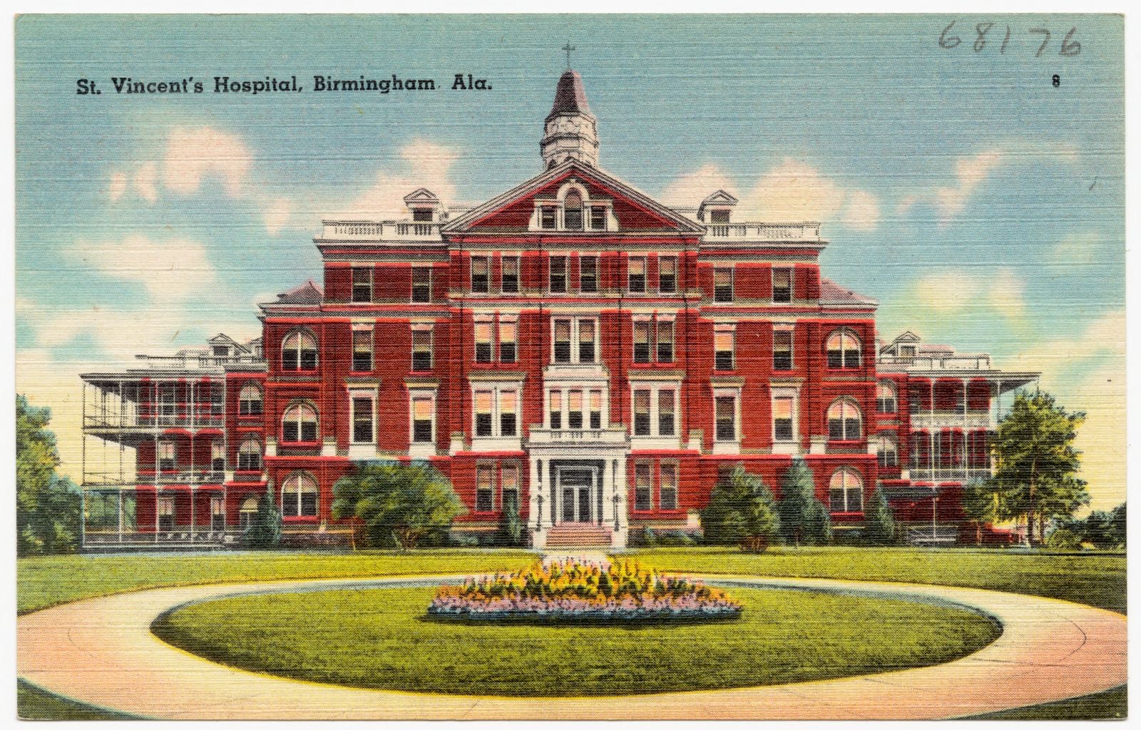
St. Vincent's Hospital, Birmingham, Ala., Boston Public Library - undated
St. Vincent's Hospital, Birmingham, Ala.. Boston Public Library, via the Digital Public Library of America.
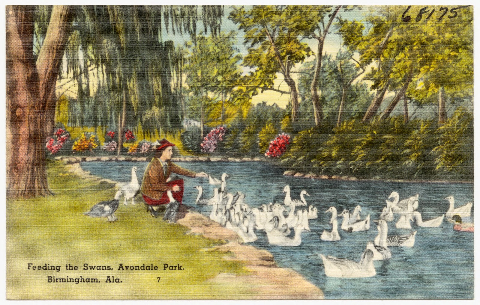
Feeding the swans, Avondale Park, Birmingham, Ala., Boston Public Library - undated
Feeding the swans, Avondale Park, Birmingham, Ala.. Boston Public Library, via the Digital Public Library of America.
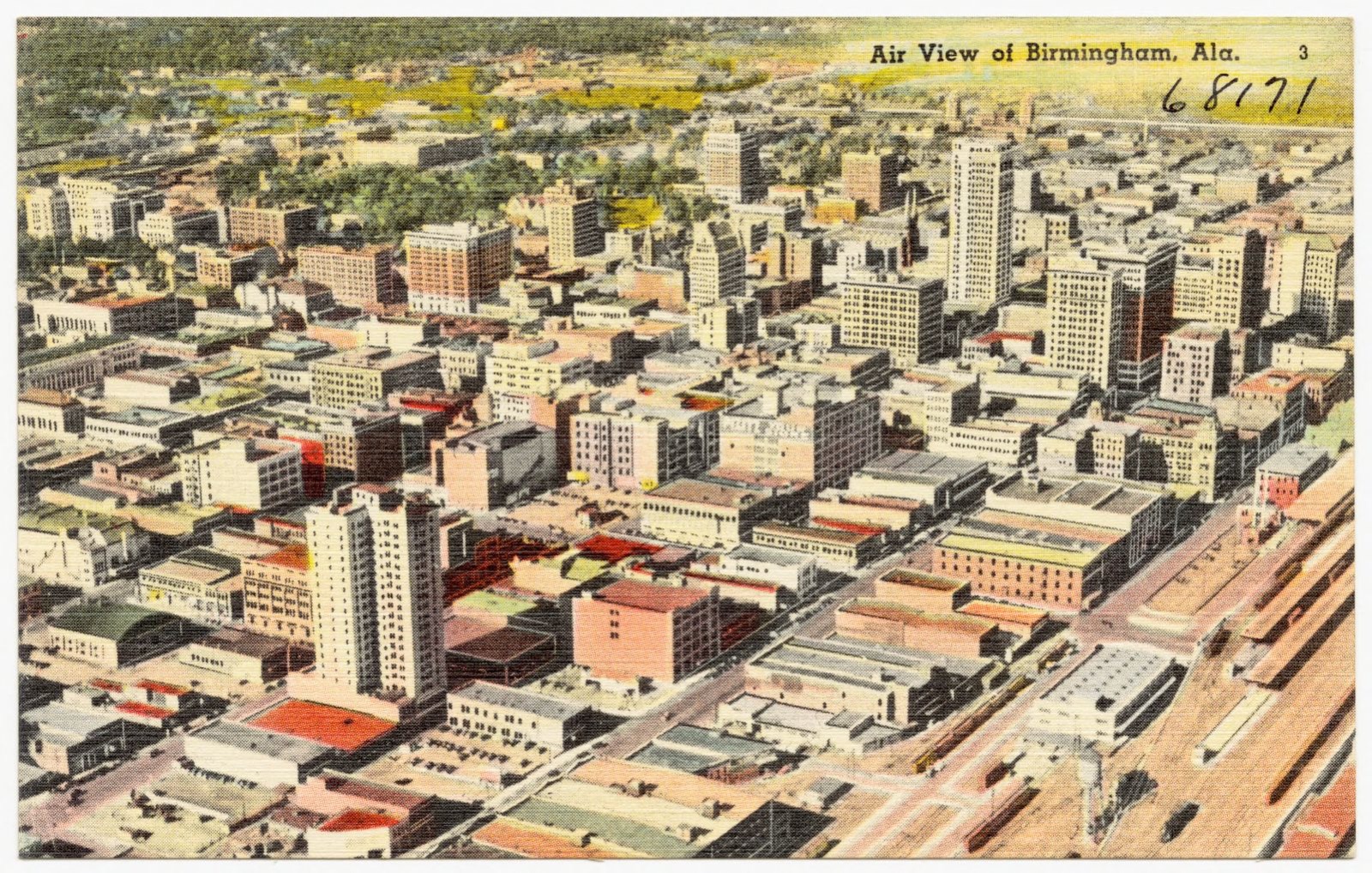
Air view of Birmingham, Ala., Boston Public Library - undated
Air view of Birmingham, Ala.. Boston Public Library, via the Digital Public Library of America.
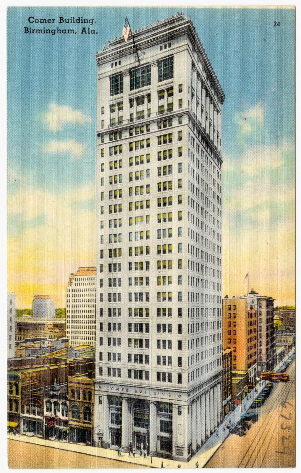
Comer Building, Birmingham, Ala., Boston Public Library - undated
Comer Building, Birmingham, Ala.. Boston Public Library, via the Digital Public Library of America.
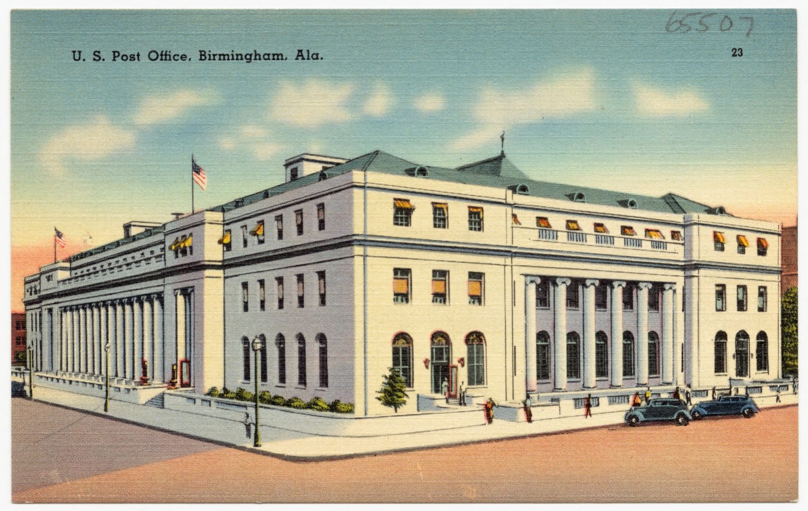
U.S. Post Office, Birmingham, Ala., Boston Public Library - undated
U.S. Post Office, Birmingham, Ala.. Boston Public Library, via the Digital Public Library of America.
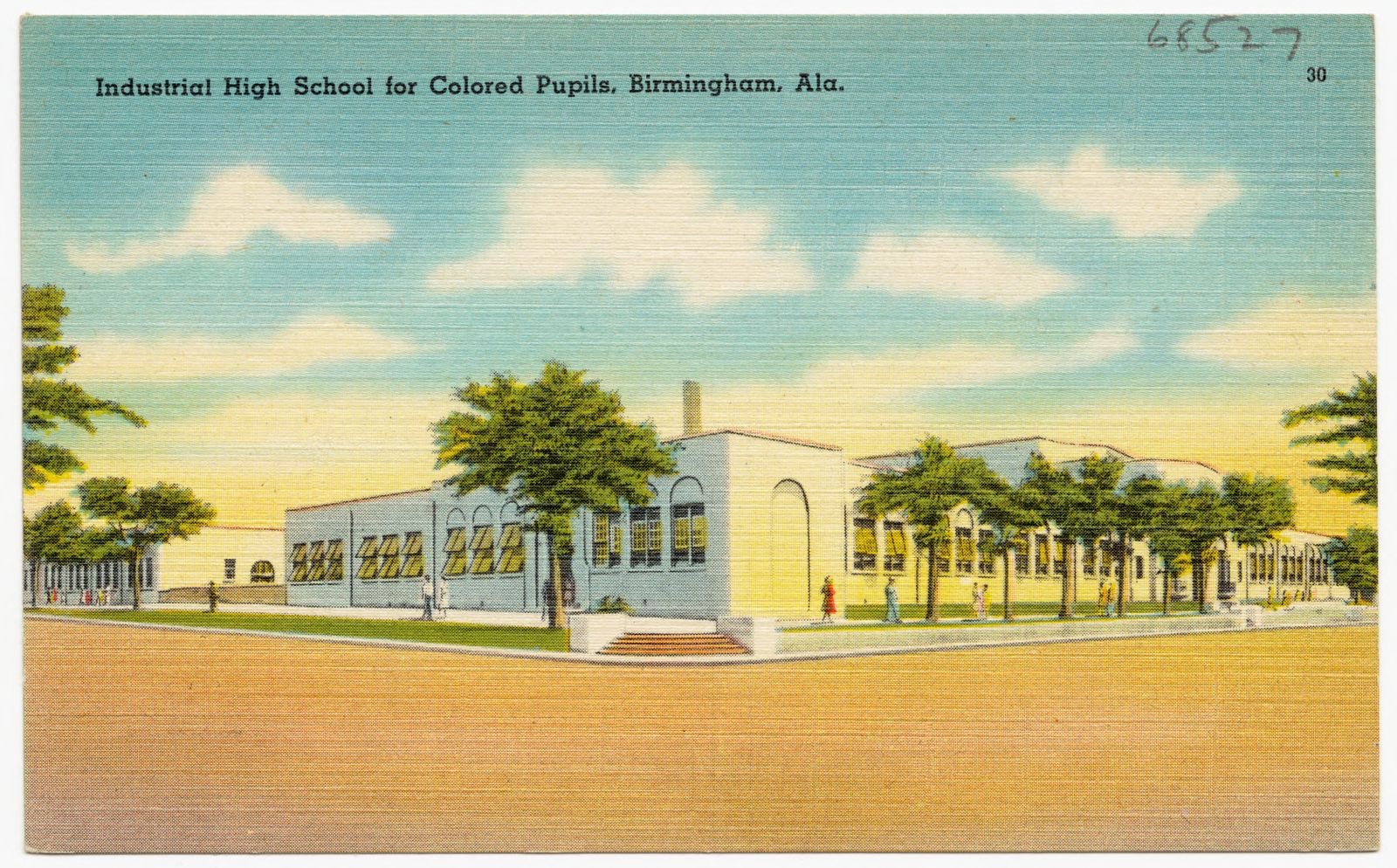
Industrial High School for Colored Pupils, Birmingham, Ala., Boston Public Library - undated
Industrial High School for Colored Pupils, Birmingham, Ala.. Boston Public Library, via the Digital Public Library of America.
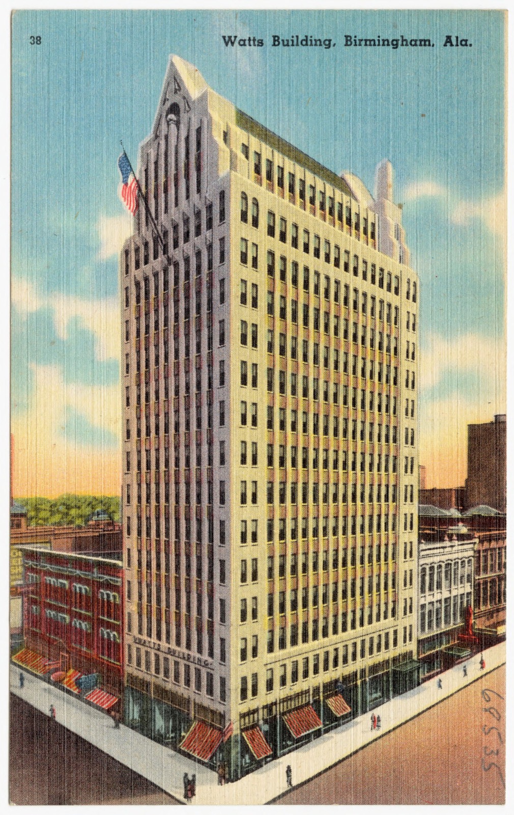
Watts Building, Birmingham, Ala., Boston Public Library - undated
Watts Building, Birmingham, Ala.. Boston Public Library, via the Digital Public Library of America.
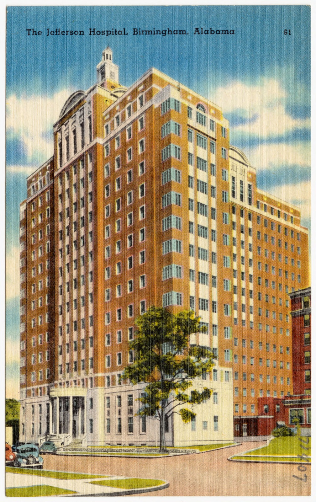
The Jefferson Hospital, Birmingham, Alabama, Boston Public Library - undated
The Jefferson Hospital, Birmingham, Alabama. Boston Public Library, via the Digital Public Library of America.
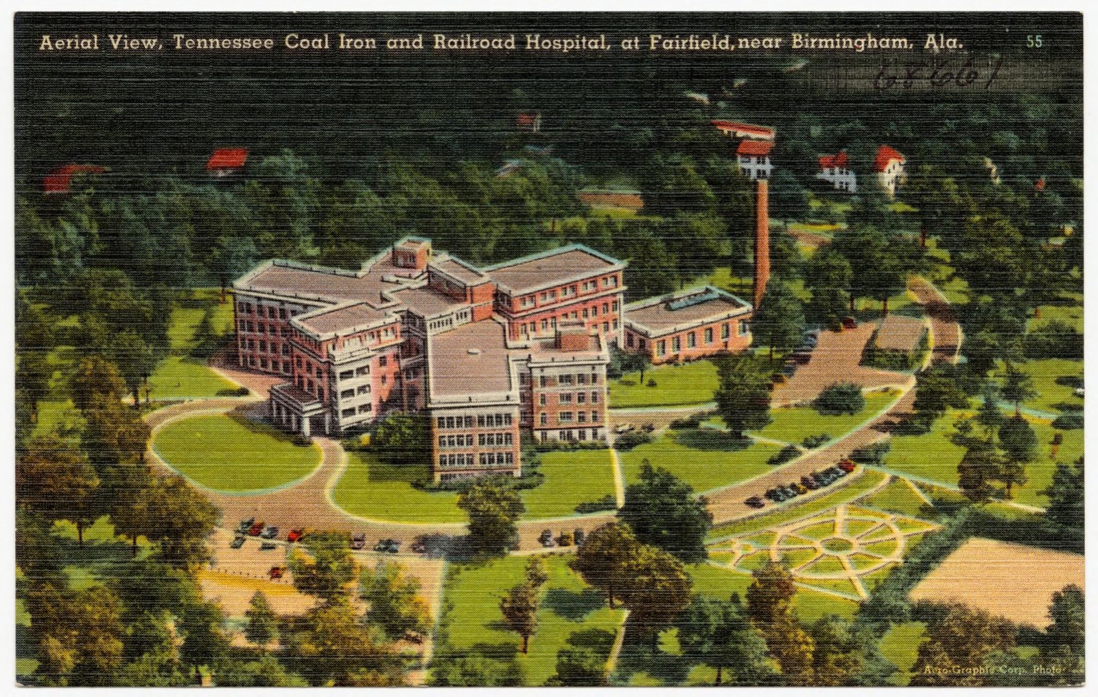
Aerial view, Tennessee Coal Iron and Railroad Hospital, at Fairfield, near Birmingham, Ala., Boston Public Library - undated
Aerial view, Tennessee Coal Iron and Railroad Hospital, at Fairfield, near Birmingham, Ala.. Boston Public Library, via the Digital Public Library of America.
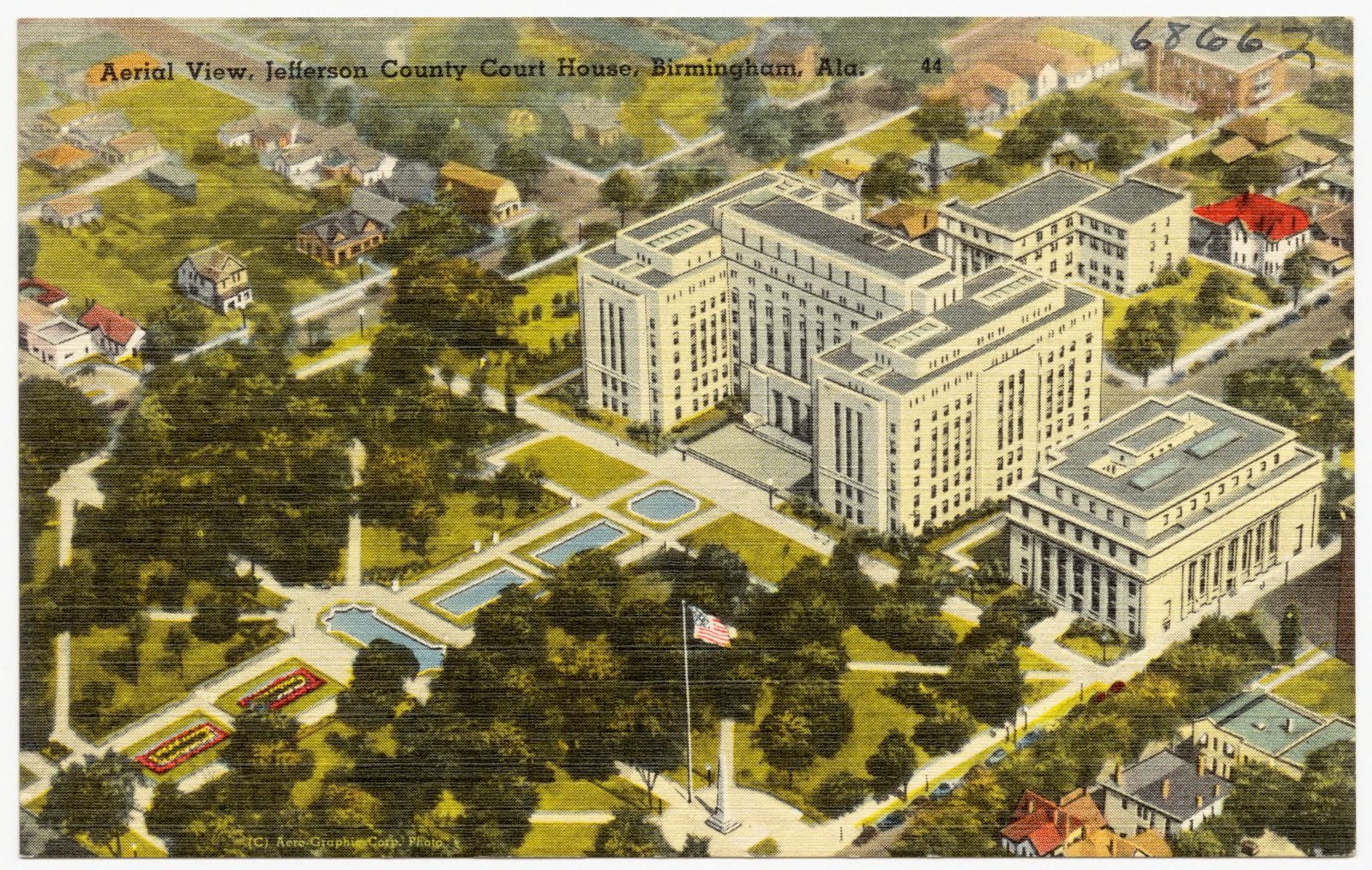
Aerial view, Jefferson County Court House, Birmingham, Ala., Boston Public Library - undated
Aerial view, Jefferson County Court House, Birmingham, Ala.. Boston Public Library, via the Digital Public Library of America.
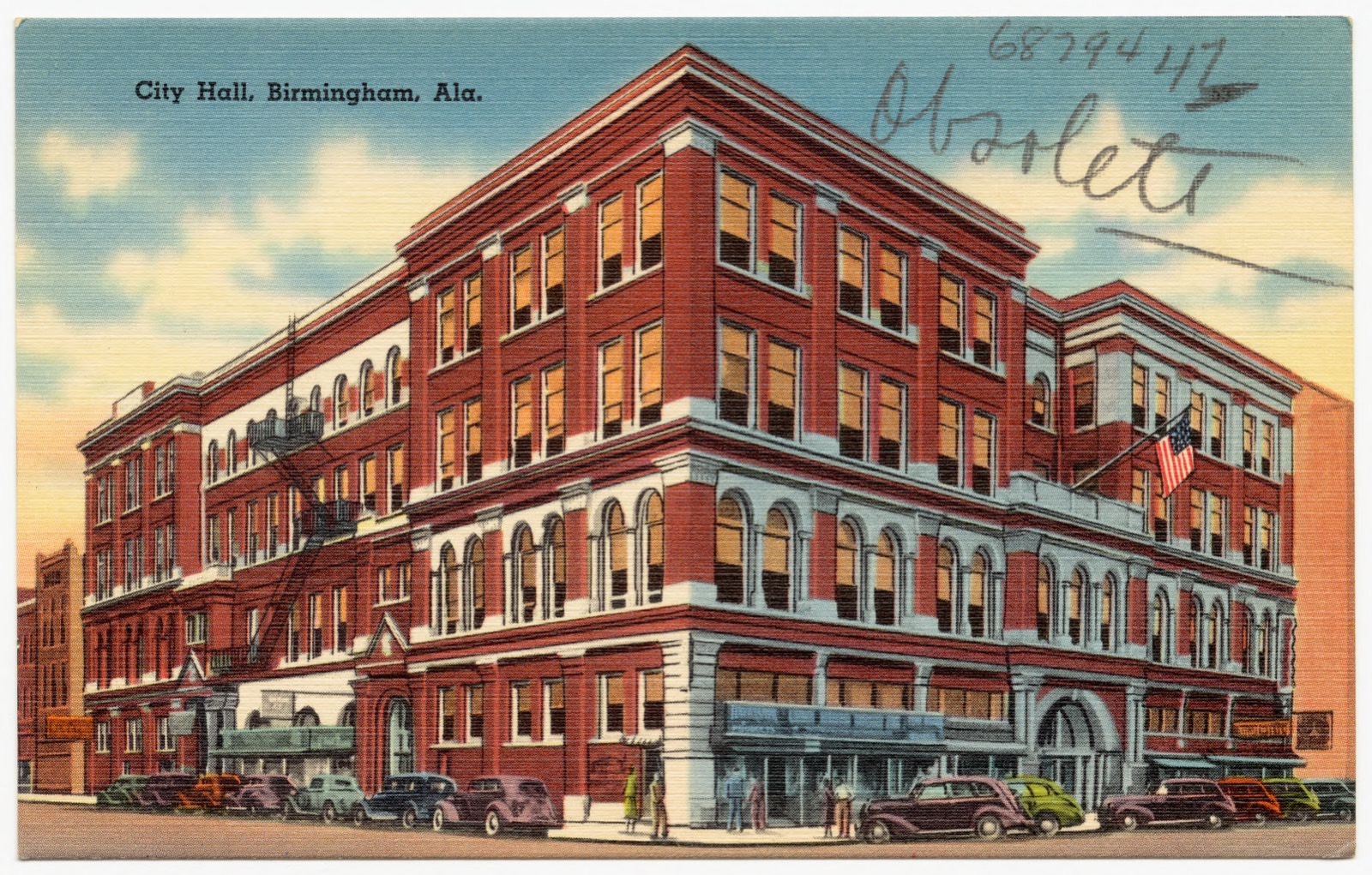
City Hall, Birmingham, Ala., Boston Public Library - undated
City Hall, Birmingham, Ala.. Boston Public Library, via the Digital Public Library of America.
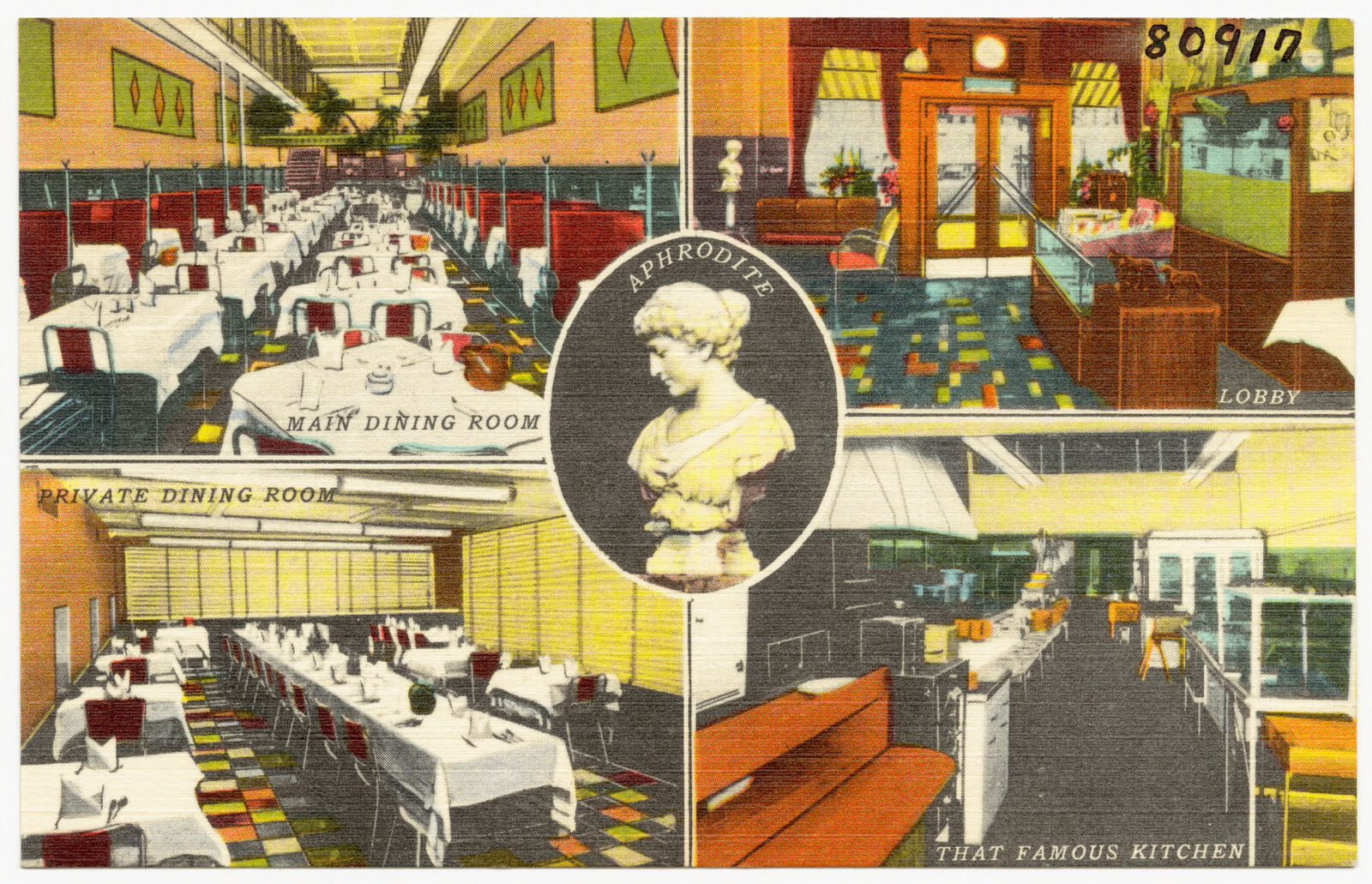
U.S. Famous Steak House; Aphrodite, main dining room, private dining room, lobby, that famous kitchen, Boston Public Library - undated
U.S. Famous Steak House; Aphrodite, main dining room, private dining room, lobby, that famous kitchen. Boston Public Library, via the Digital Public Library of America.
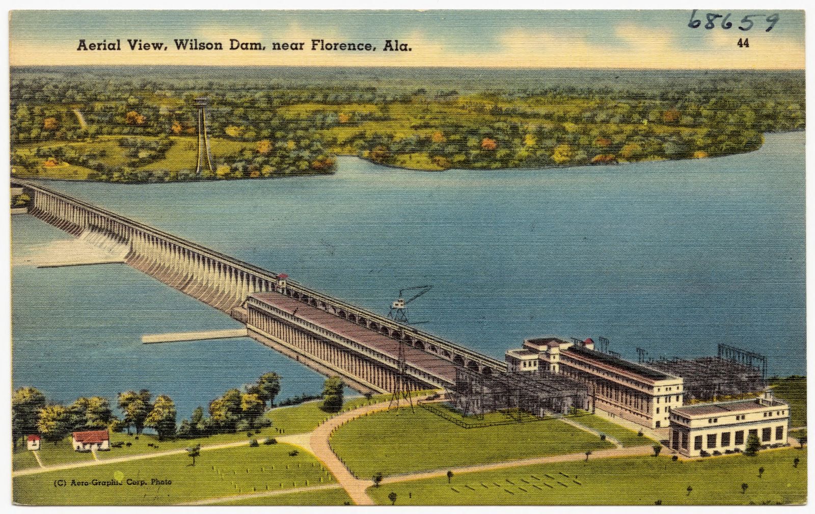
Aerial view, Wilson Dam, near Florence, Ala., Boston Public Library - undated
Aerial view, Wilson Dam, near Florence, Ala.. Boston Public Library, via the Digital Public Library of America.
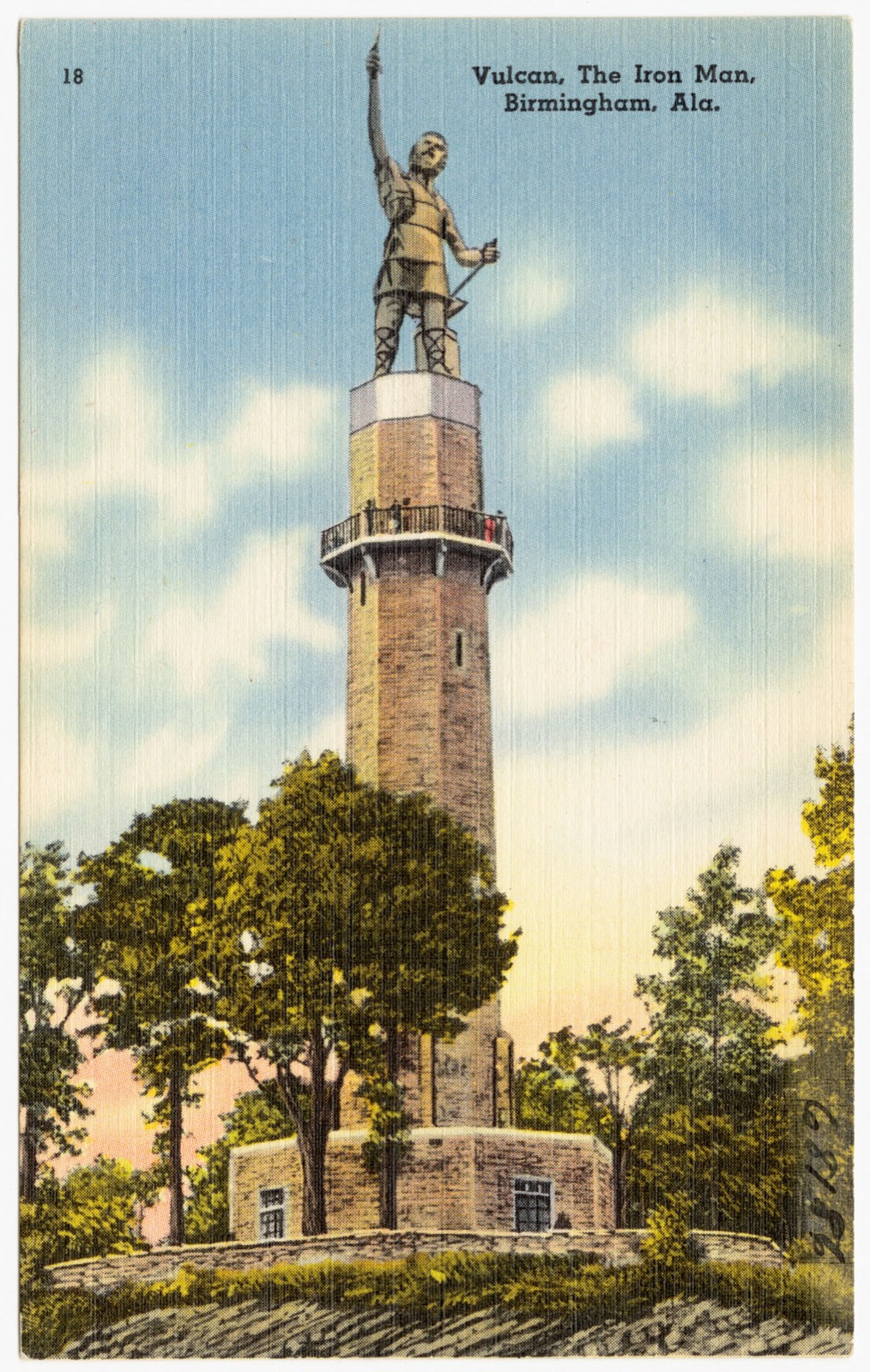
Vulcan, the Iron Man, Birmingham, Ala., Boston Public Library - undated
Vulcan, the Iron Man, Birmingham, Ala.. Boston Public Library, via the Digital Public Library of America.
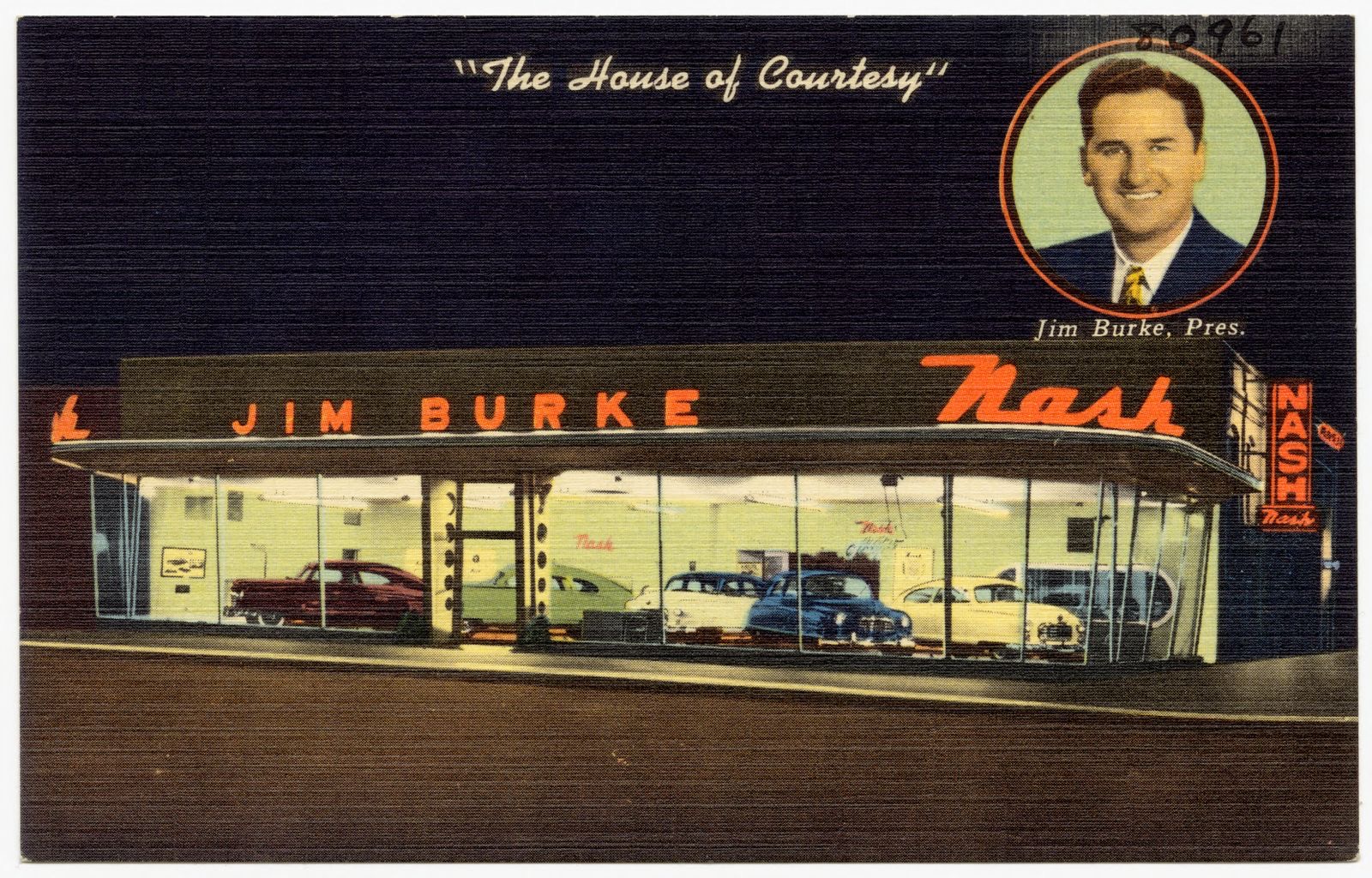
"The House of Courtesy," Jim Burke Nash, Inc., Boston Public Library - undated
"The House of Courtesy," Jim Burke Nash, Inc.. Boston Public Library, via the Digital Public Library of America.
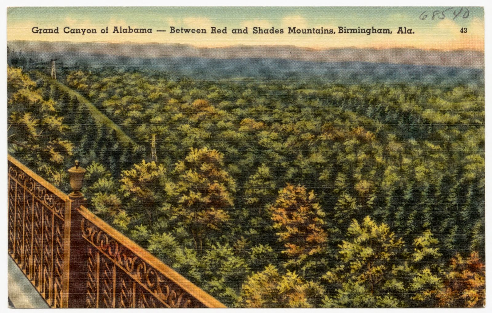
Grand Canyon of Alabama, between Red and Shades Mountains, Birmingham, Ala., Boston Public Library - undated
Grand Canyon of Alabama, between Red and Shades Mountains, Birmingham, Ala.. Boston Public Library, via the Digital Public Library of America.
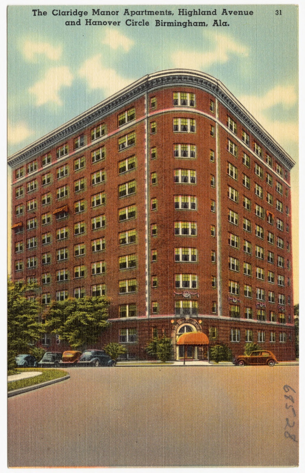
The Claridge Manor Apartments, Highland Avenue and Hanover Circle, Birmingham, Ala., Boston Public Library - undated
The Claridge Manor Apartments, Highland Avenue and Hanover Circle, Birmingham, Ala.. Boston Public Library, via the Digital Public Library of America.
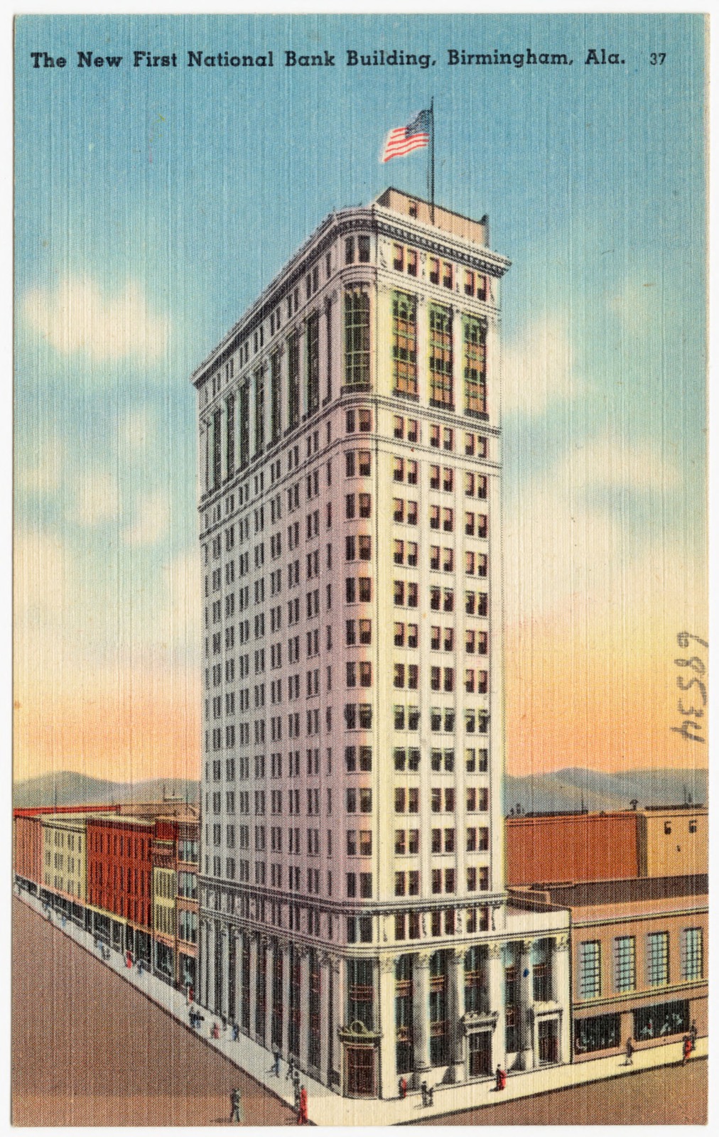
The New First National Bank building, Birmingham, Ala, Boston Public Library - undated
The New First National Bank building, Birmingham, Ala. Boston Public Library, via the Digital Public Library of America.
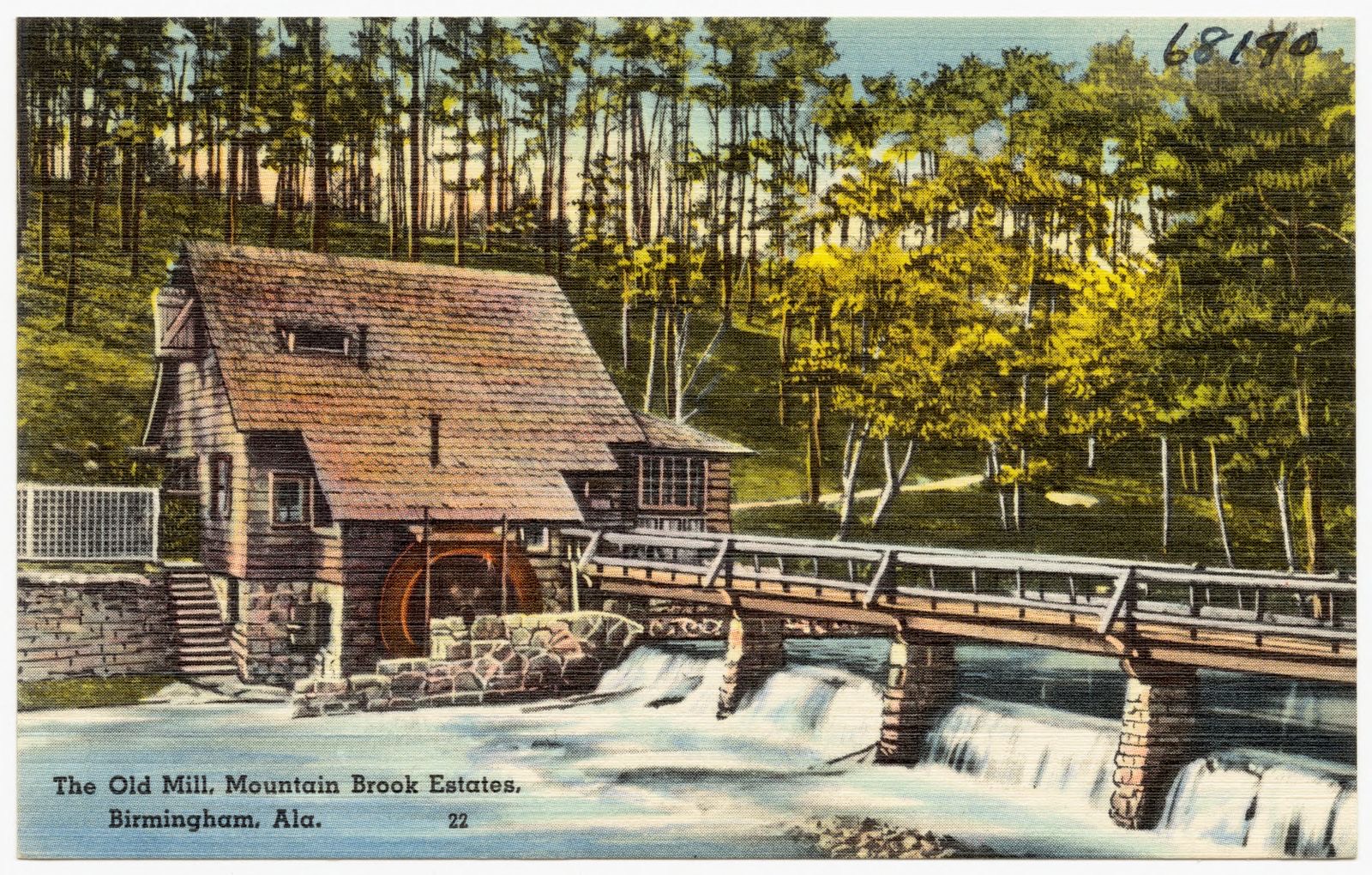
The Old Mill, Mountain Brook Estates, Birmingham, Ala., Boston Public Library - undated
The Old Mill, Mountain Brook Estates, Birmingham, Ala.. Boston Public Library, via the Digital Public Library of America.
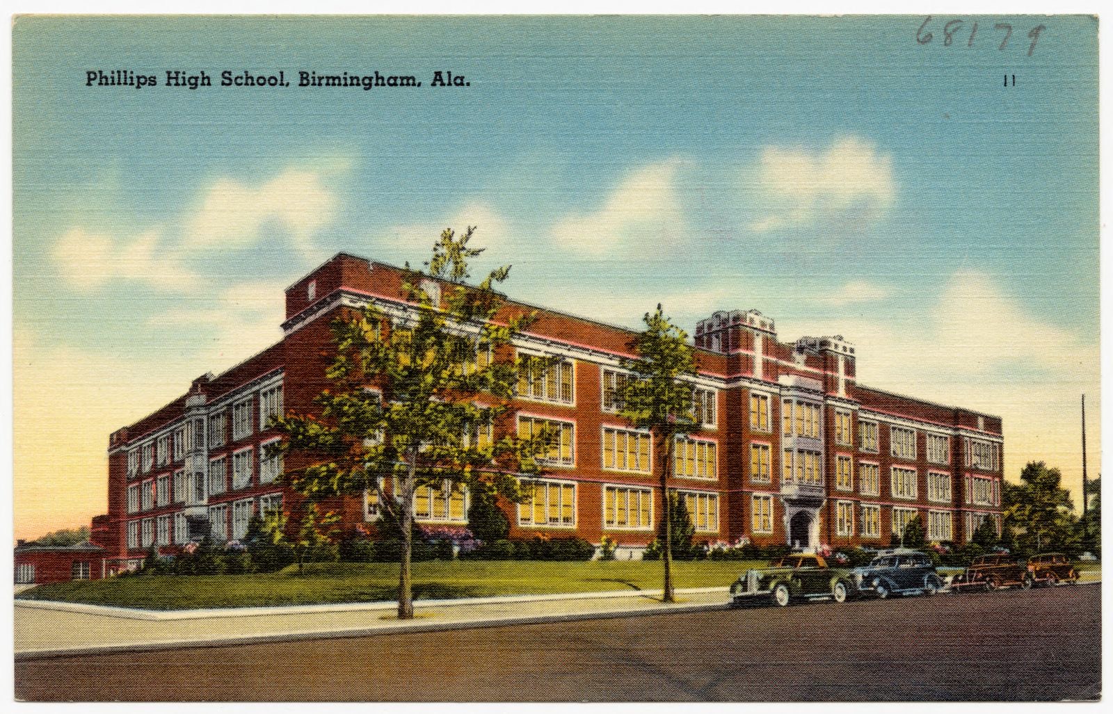
Phillips High School, Birmingham, Ala., Boston Public Library - undated
Phillips High School, Birmingham, Ala.. Boston Public Library, via the Digital Public Library of America.
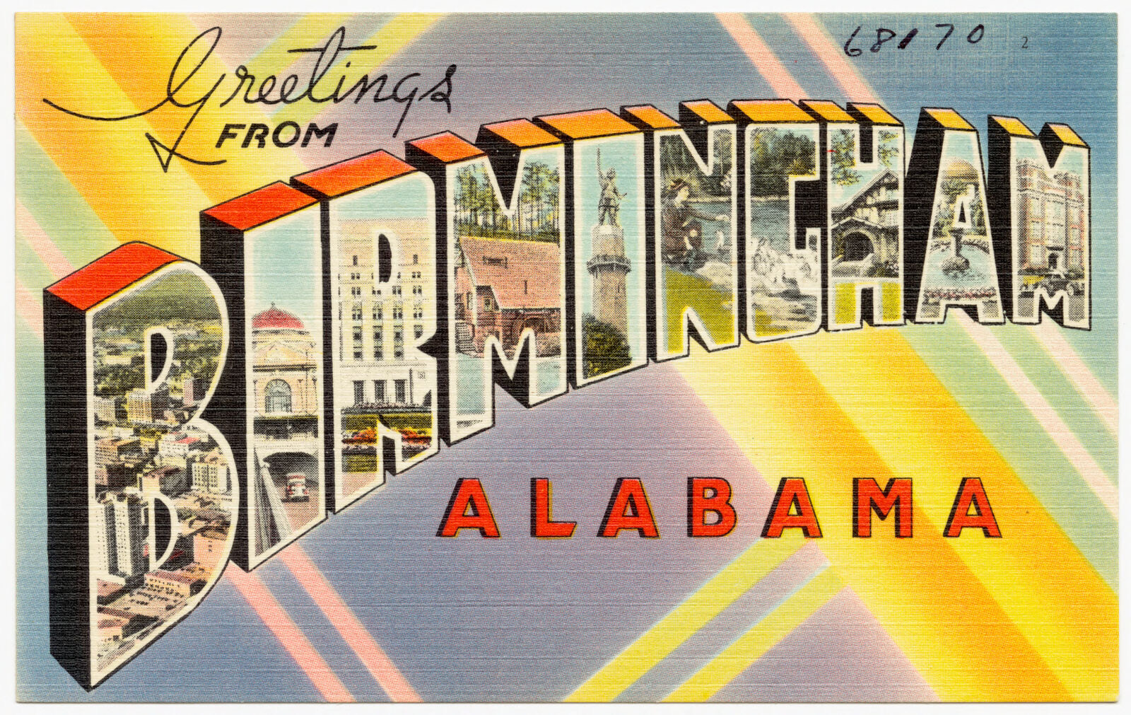
Greetings from Birmingham, Alabama, Boston Public Library - undated
Greetings from Birmingham, Alabama. Boston Public Library, via the Digital Public Library of America.
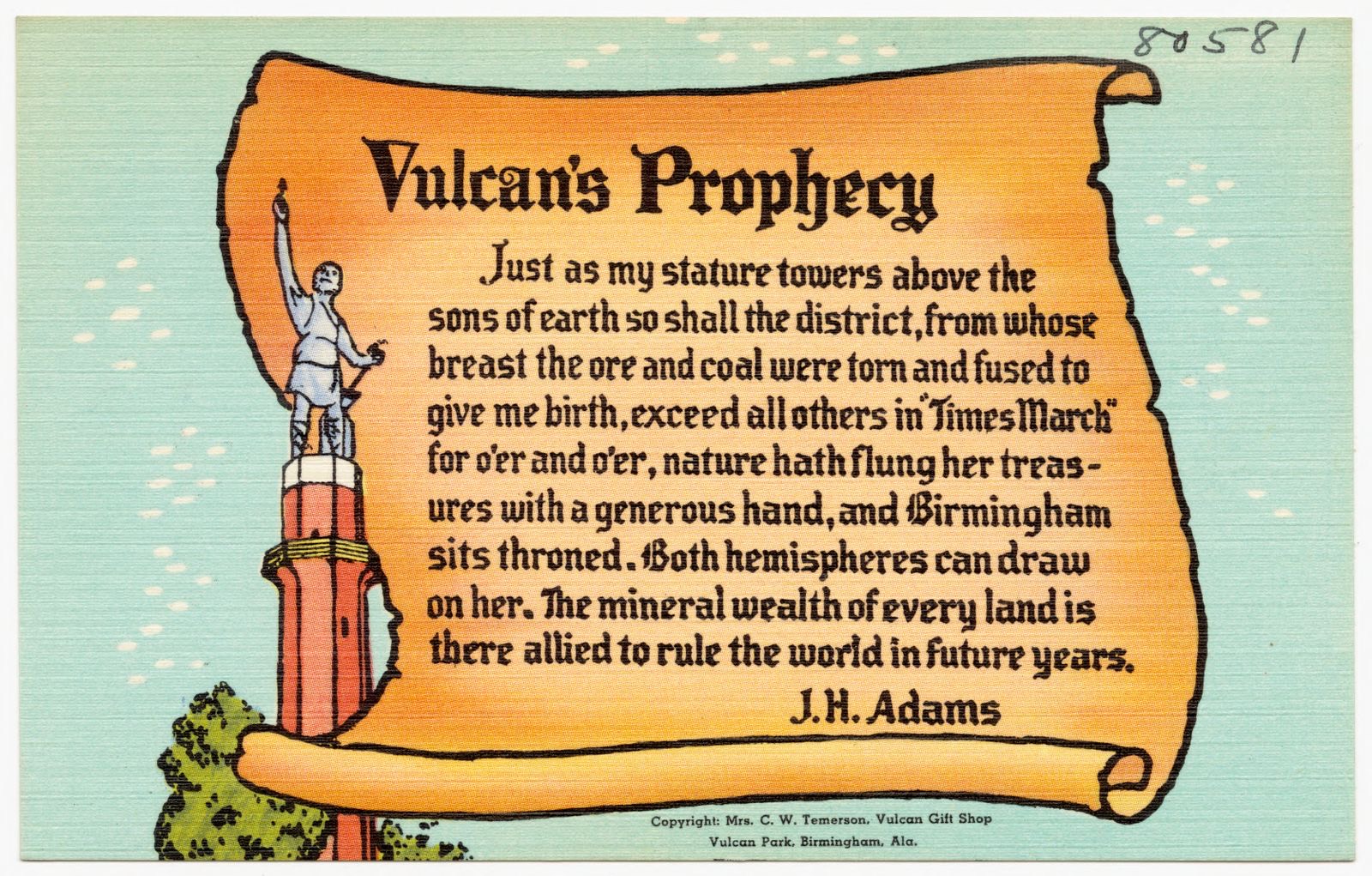
Vulcan's Prophecy, Boston Public Library - undated
Vulcan's Prophecy. Boston Public Library, via the Digital Public Library of America.
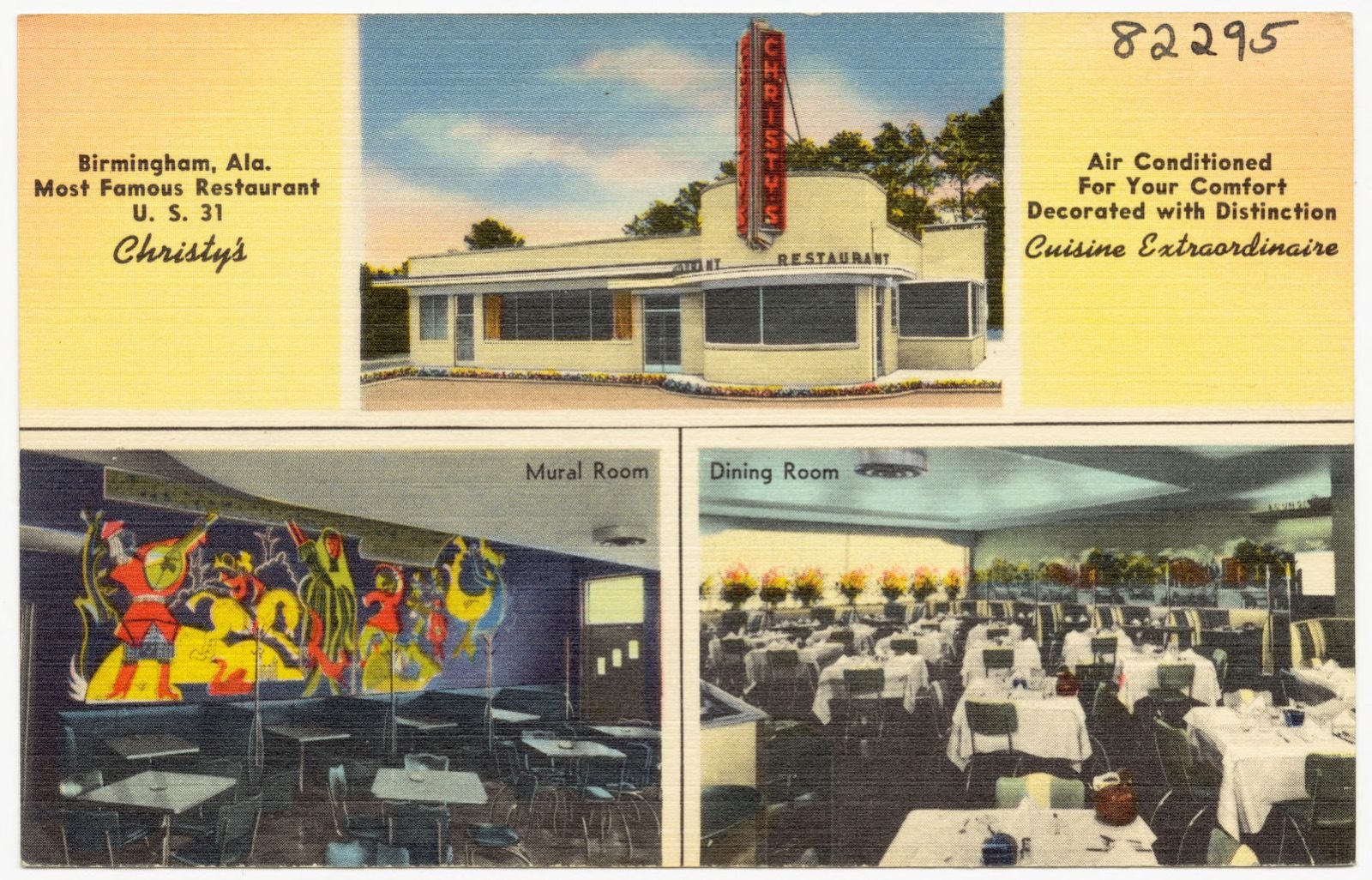
Christy's, Birmingham, Ala. Most famous restaurant, Boston Public Library - undated
Christy's, Birmingham, Ala. Most famous restaurant. Boston Public Library, via the Digital Public Library of America.
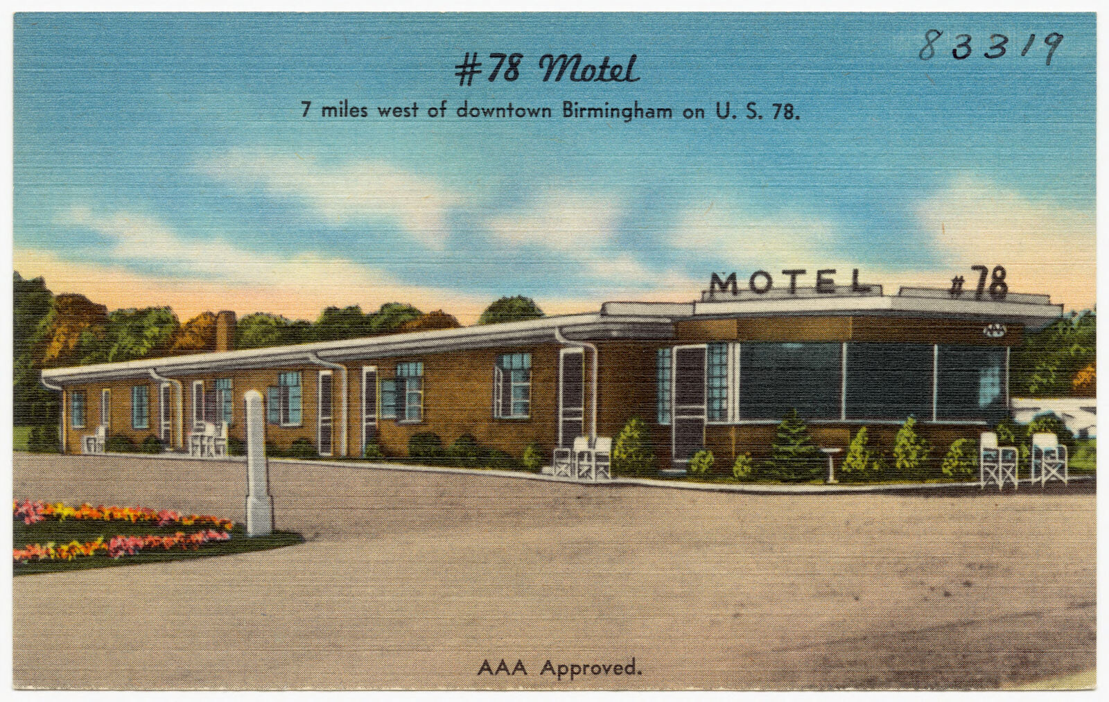
#78 Motel, Boston Public Library - undated
#78 Motel. Boston Public Library, via the Digital Public Library of America.
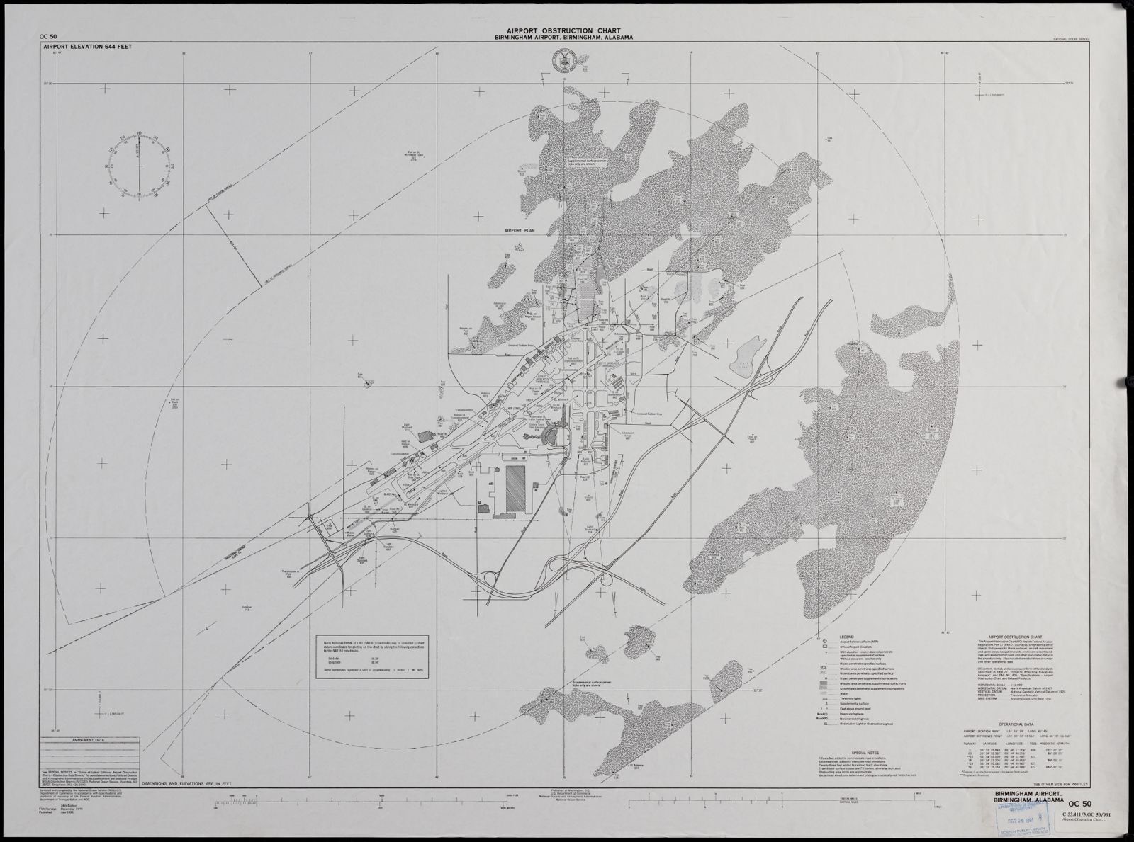
Birmingham Airport, Birmingham, Alabama, Boston Public Library - undated
Birmingham Airport, Birmingham, Alabama. United States. National Ocean Service, Boston Public Library, via the Digital Public Library of America.
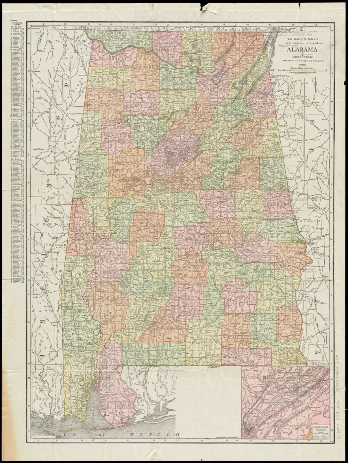
The Rand-McNally new commercial atlas map of Alabama, Boston Public Library - undated
The Rand-McNally new commercial atlas map of Alabama. Rand McNally and Company, Boston Public Library, via the Digital Public Library of America.
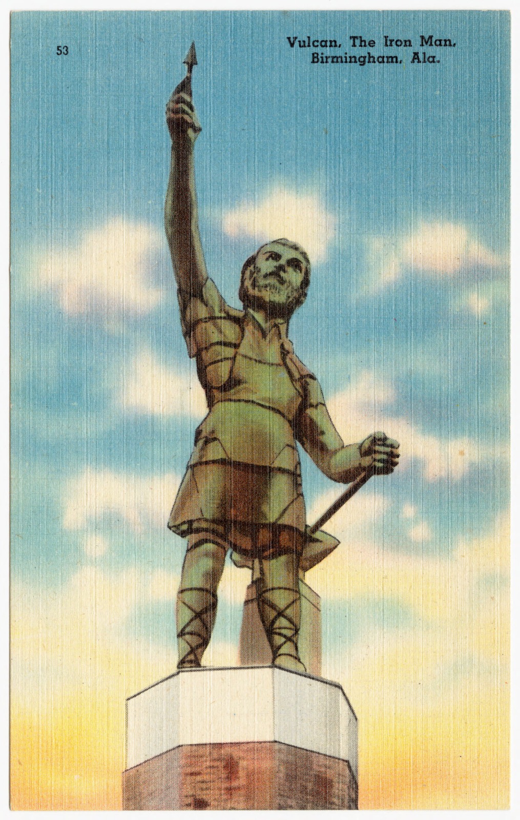
Vulcan, the Iron Man, Birmingham, Ala., Boston Public Library - undated
Vulcan, the Iron Man, Birmingham, Ala.. Boston Public Library, via the Digital Public Library of America.
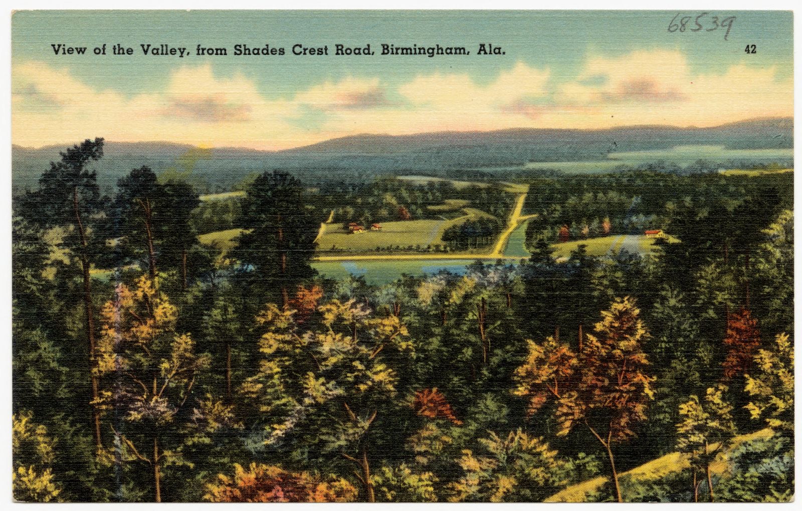
View of the Valley, from Shades Crest Road, Birmingham, Ala., Boston Public Library - undated
View of the Valley, from Shades Crest Road, Birmingham, Ala.. Boston Public Library, via the Digital Public Library of America.
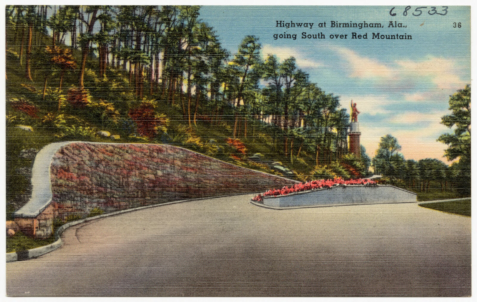
Highway at Birmingham, Ala., going south over Red Mountain, Boston Public Library - undated
Highway at Birmingham, Ala., going south over Red Mountain. Boston Public Library, via the Digital Public Library of America.
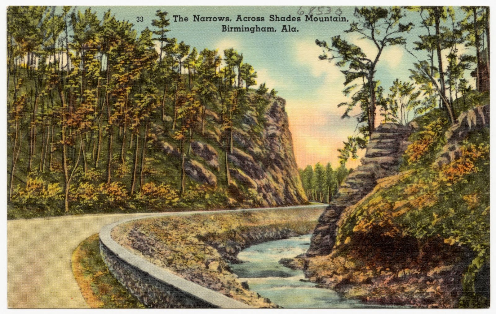
The Narrows, across Shade Mountain, Birmingham, Ala., Boston Public Library - undated
The Narrows, across Shade Mountain, Birmingham, Ala.. Boston Public Library, via the Digital Public Library of America.
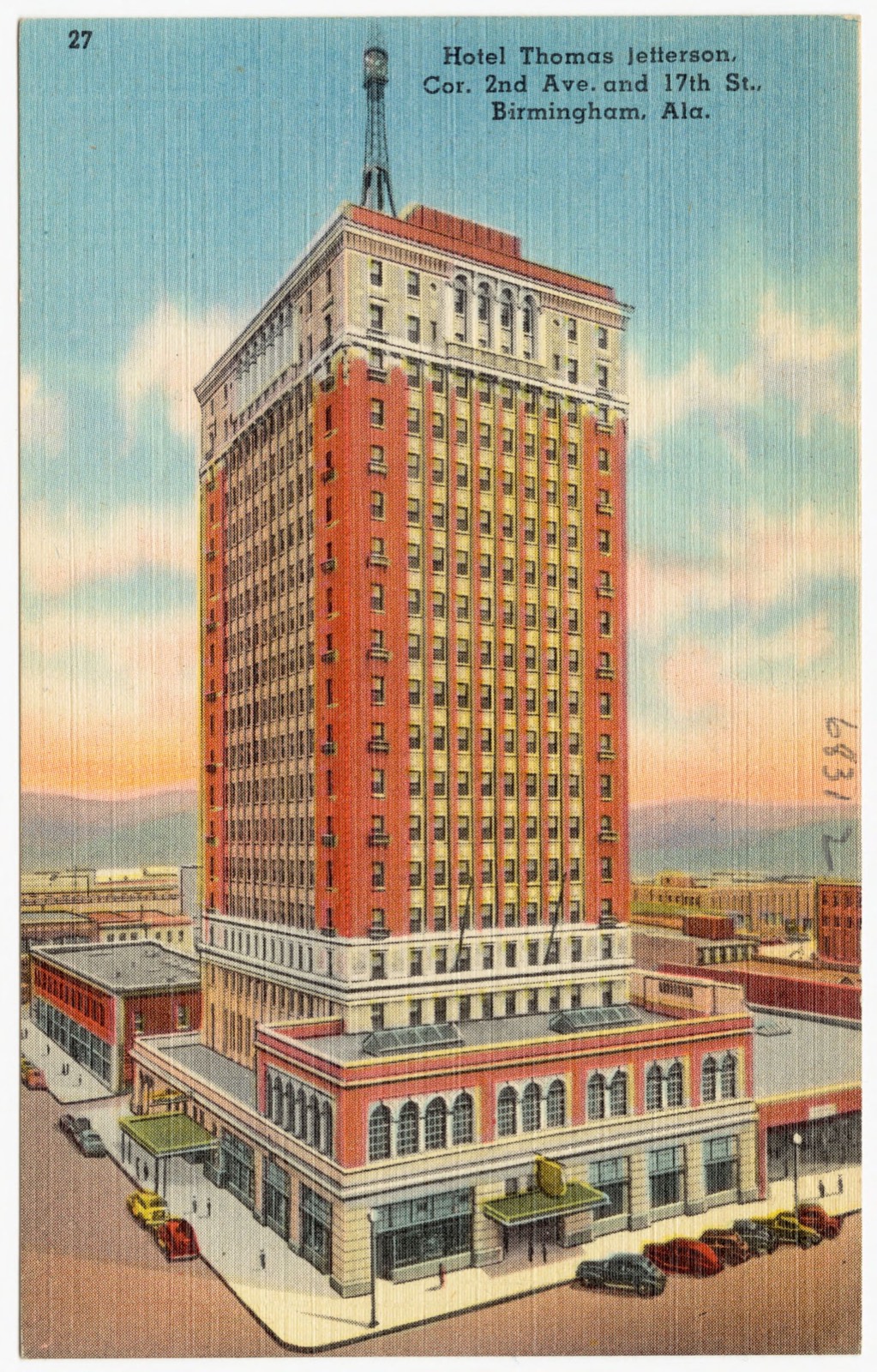
Hotel Thomas Jefferson, Cor. 2nd Ave. and 17th st., Birmingham, Ala., Boston Public Library - undated
Hotel Thomas Jefferson, Cor. 2nd Ave. and 17th st., Birmingham, Ala.. Boston Public Library, via the Digital Public Library of America.
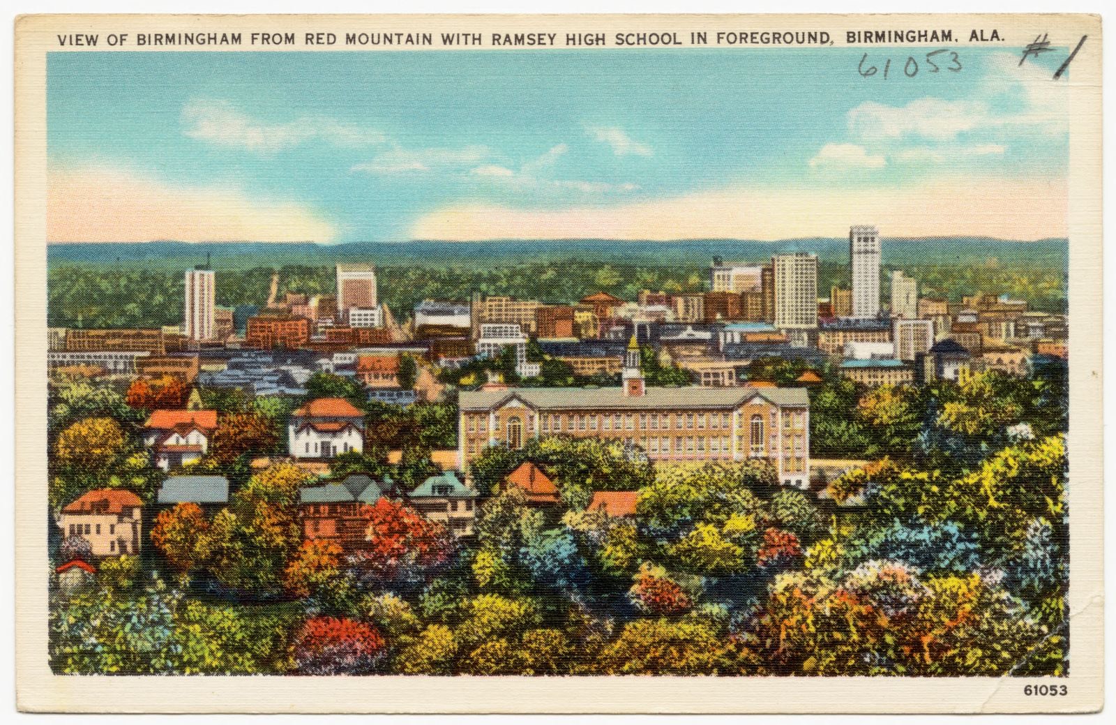
View of Birmingham from Red Mountain with Ramsey High School in foreground, Birmingham, Ala., Boston Public Library - undated
View of Birmingham from Red Mountain with Ramsey High School in foreground, Birmingham, Ala.. Boston Public Library, via the Digital Public Library of America.
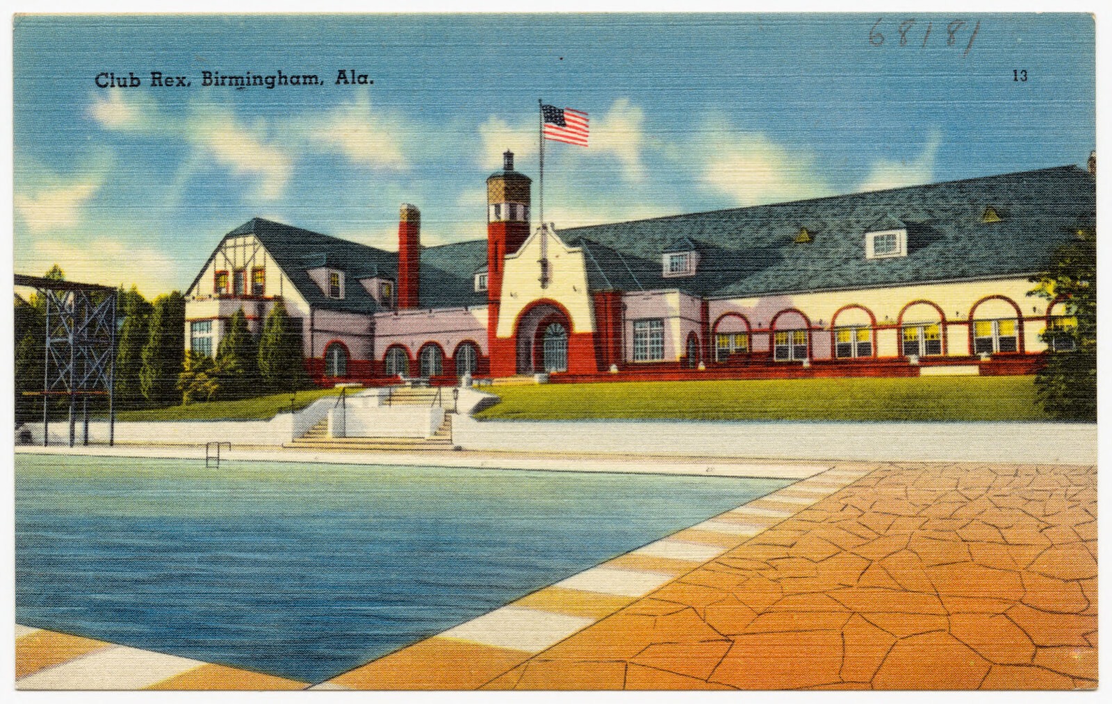
Club Rex, Birmingham, Ala., Boston Public Library - undated
Club Rex, Birmingham, Ala.. Boston Public Library, via the Digital Public Library of America.
Jefferson County Court House, Birmingham, Ala., Boston Public Library - undated
Jefferson County Court House, Birmingham, Ala.. Boston Public Library, via the Digital Public Library of America.
Vestavia, Country home of George B. Ward, Birmingham, Ala., Boston Public Library - undated
Vestavia, Country home of George B. Ward, Birmingham, Ala.. Boston Public Library, via the Digital Public Library of America.
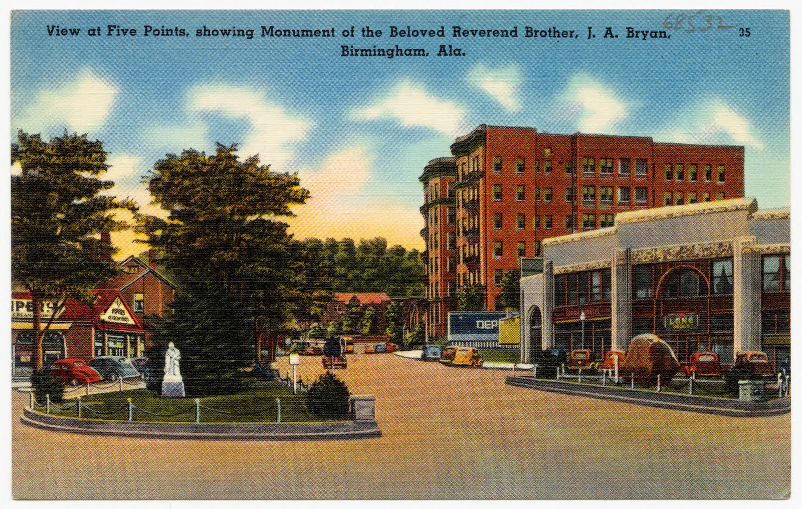
View at Five Points, showing monument of beloved Reverend Brother J. A. Bryan, Birmingham, Ala., Boston Public Library - undated
View at Five Points, showing monument of beloved Reverend Brother J. A. Bryan, Birmingham, Ala.. Boston Public Library, via the Digital Public Library of America.
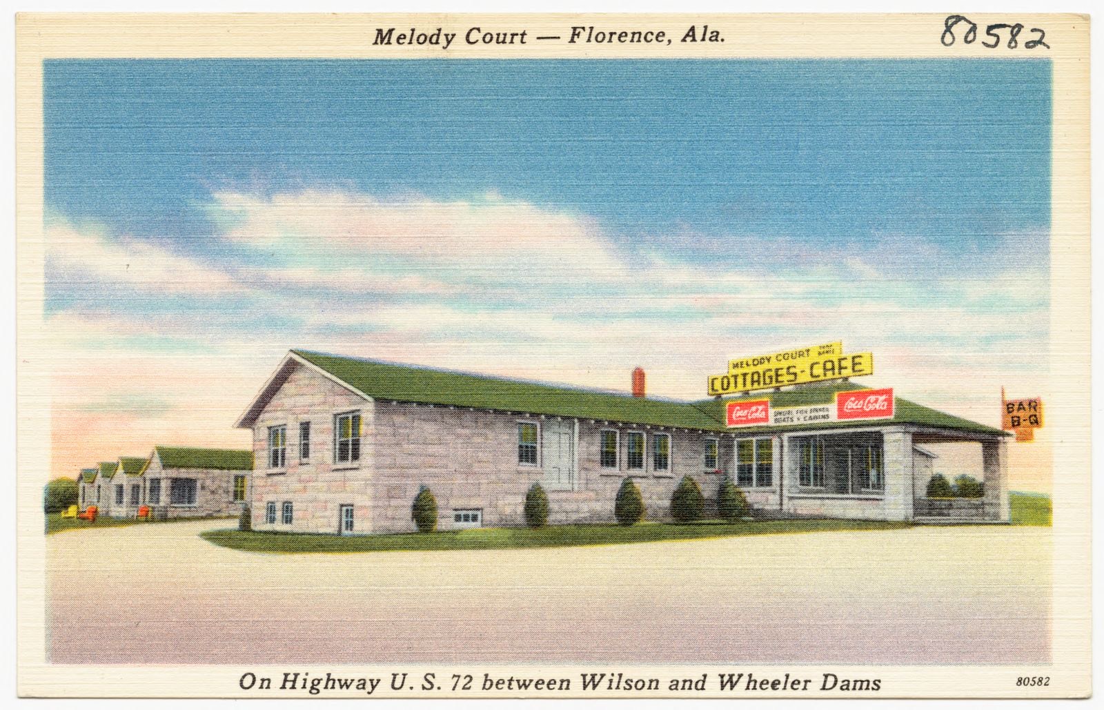
Melody Court, Florence, Ala., Boston Public Library - undated
Melody Court, Florence, Ala.. Boston Public Library, via the Digital Public Library of America.
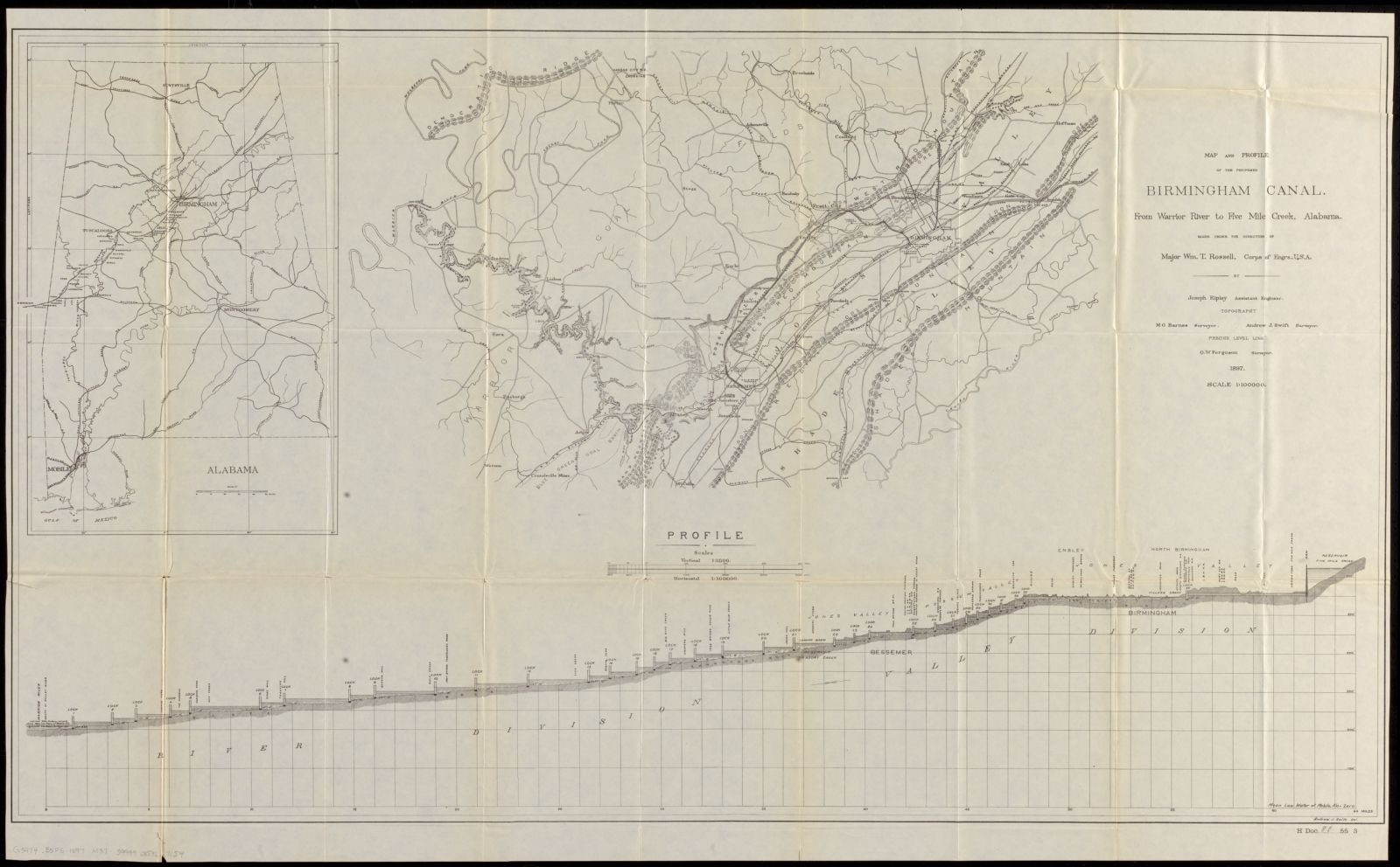
Map and profile of the proposed Birmingham Canal from Warrior River to Five Mile Creek, Alabama, Boston Public Library - undated
Map and profile of the proposed Birmingham Canal from Warrior River to Five Mile Creek, Alabama. United States. Army. Corps of Engineers, Boston Public Library, via the Digital Public Library of America.
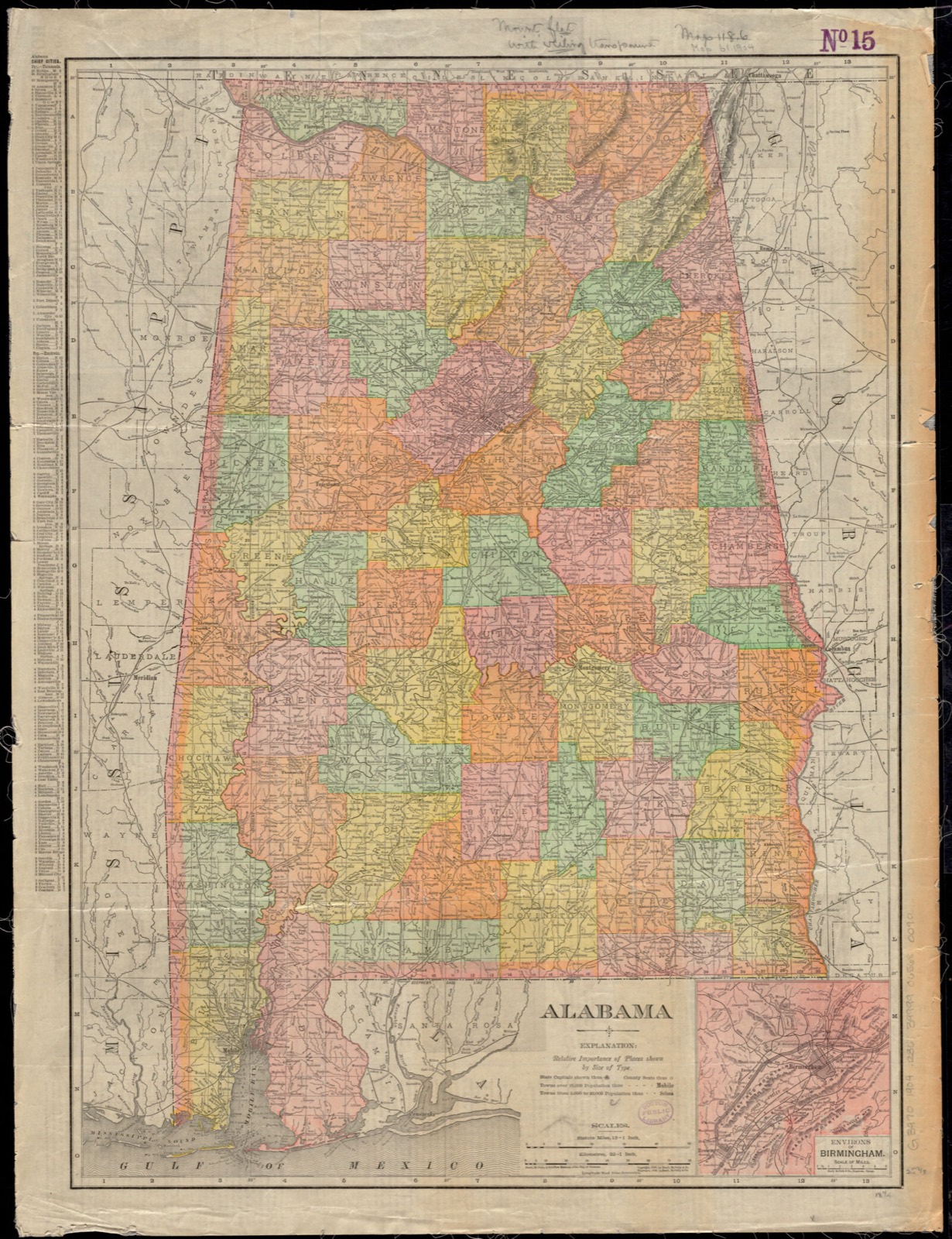
Alabama, Boston Public Library - undated
Alabama. Rand McNally and Company, Boston Public Library, via the Digital Public Library of America.
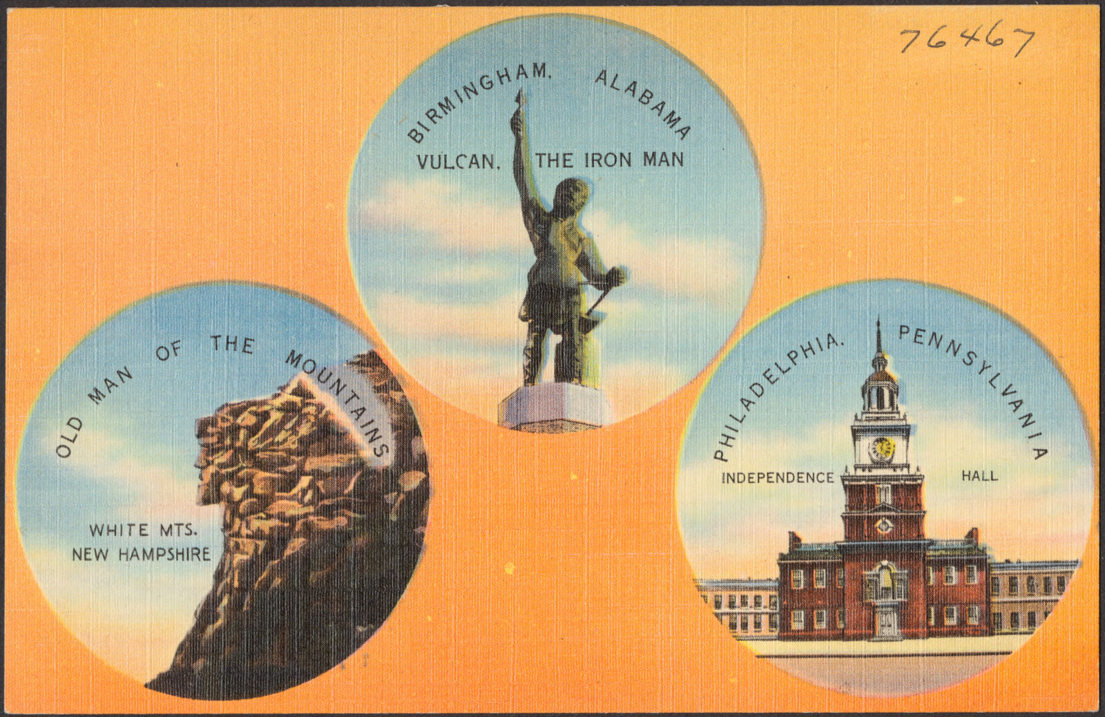
Birmingham, Alabama, Vulcan, the iron man. Old Man of the Mountains, White Mts., New Hampshire. Philadelphia Pennsylvania, Independence Hall, Boston Public Library - undated
Birmingham, Alabama, Vulcan, the iron man. Old Man of the Mountains, White Mts., New Hampshire. Philadelphia Pennsylvania, Independence Hall. Boston Public Library, via the Digital Public Library of America.

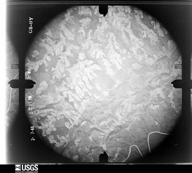
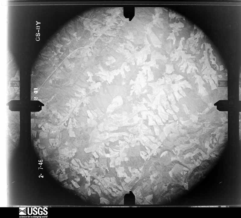
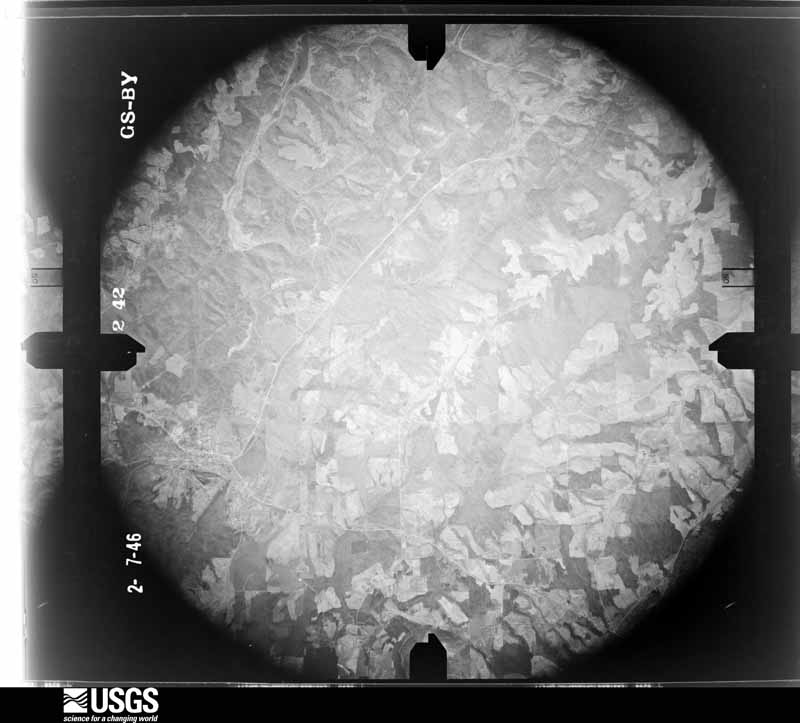
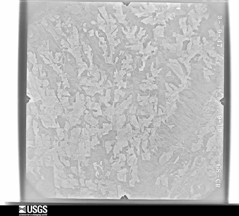
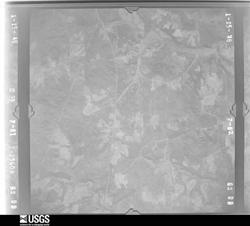
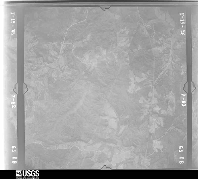
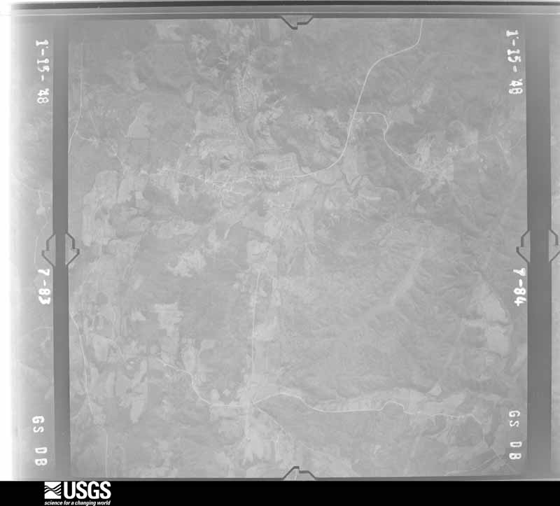
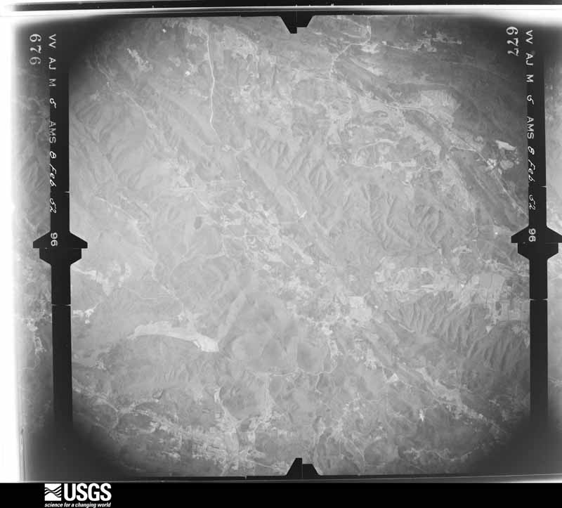
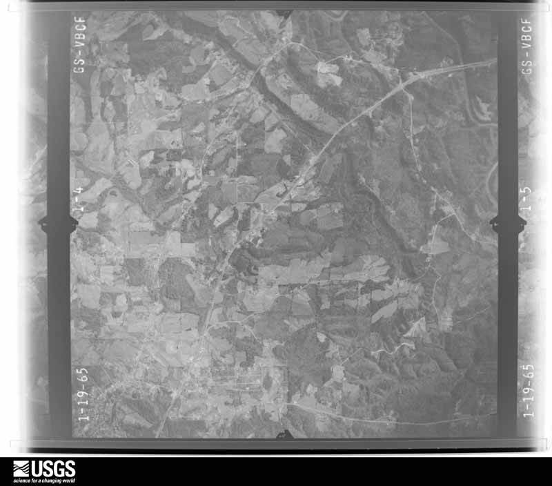
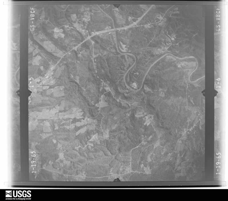
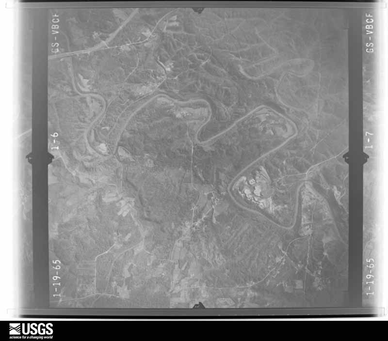
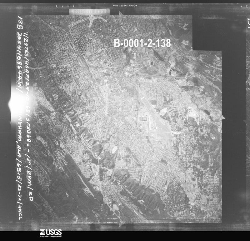
The county from the air

48 shown

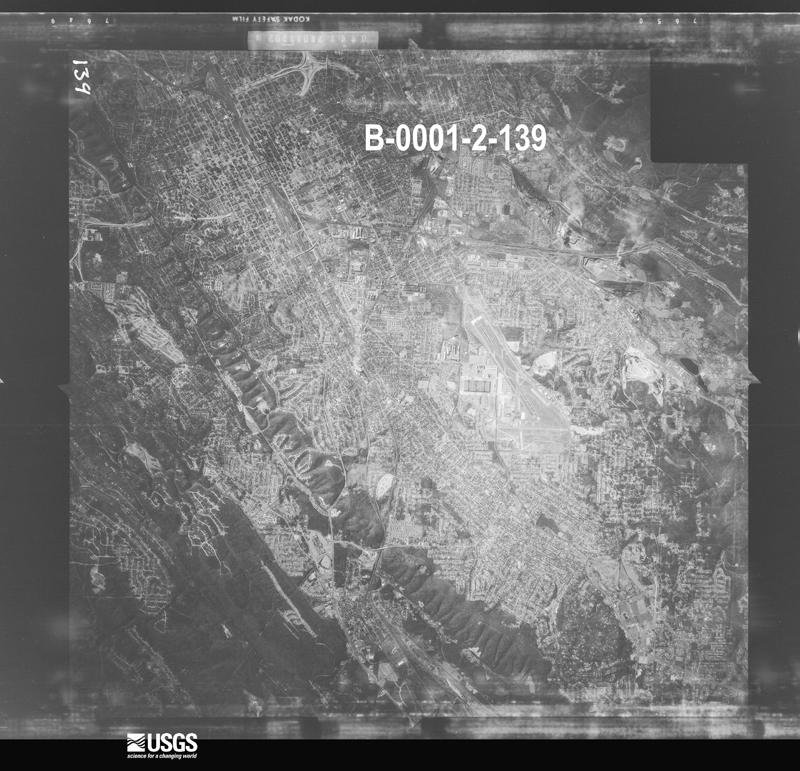
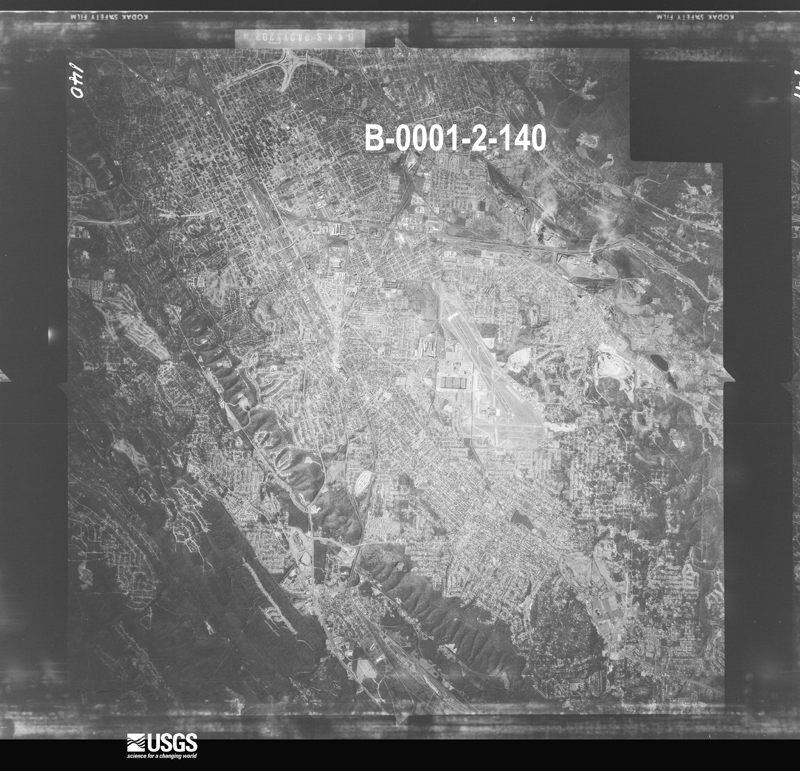
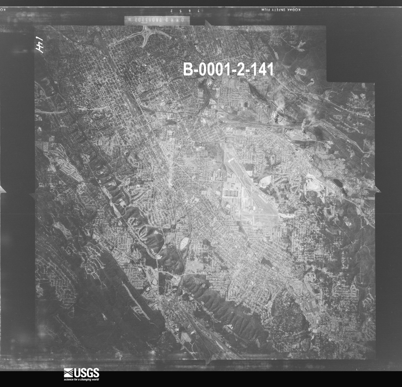
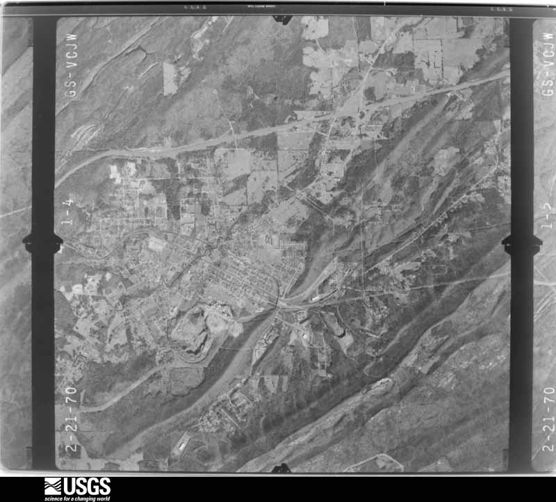
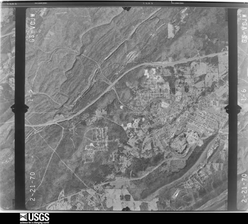
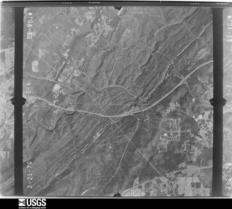
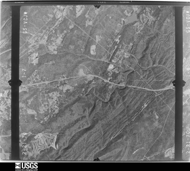
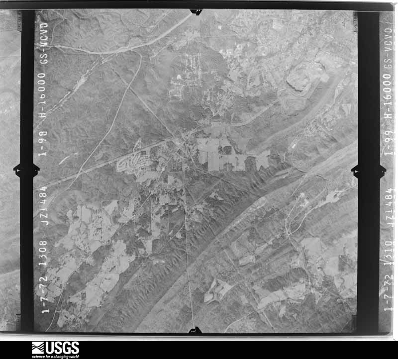
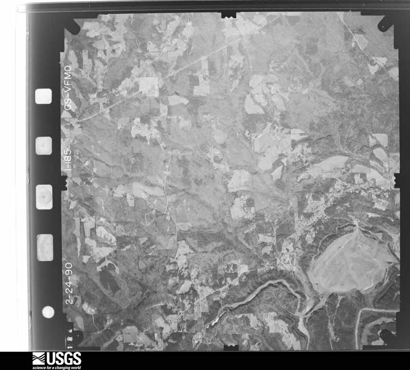
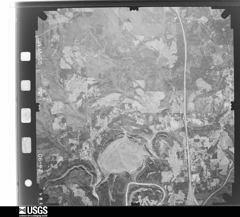
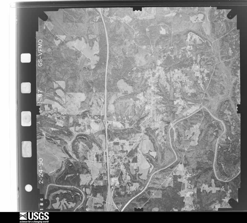
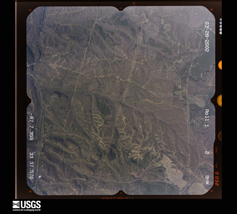
Flown by the U.S. Geological Survey between 1937 and 1989, the Aerial Photo Single Frames collection is the definitive mid-century view of the land: fields, roads and rivers as the camera saw them. The Survey holds 2,839 frames inside the rectangle that bounds this county; the 48 frames below were taken over the county itself, chosen across the decades of flights (at most four a year from that rectangle), so one flight cannot crowd out the rest. The full set is free to browse and download at EarthExplorer under the dataset Aerial Photo Single Frames.

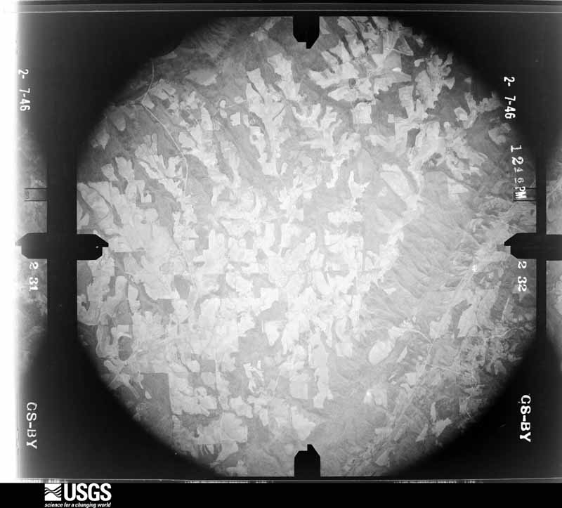
U.S. Geological Survey aerial photograph, 1946-02-07, scale 1:35400
1946-02-07, scale 1:35400. U.S. Geological Survey aerial photograph.
U.S. Geological Survey aerial photograph, 1946-02-07, scale 1:35400
1946-02-07, scale 1:35400. U.S. Geological Survey aerial photograph.
U.S. Geological Survey aerial photograph, 1946-02-07, scale 1:35400
1946-02-07, scale 1:35400. U.S. Geological Survey aerial photograph.
U.S. Geological Survey aerial photograph, 1946-02-07, scale 1:35400
1946-02-07, scale 1:35400. U.S. Geological Survey aerial photograph.
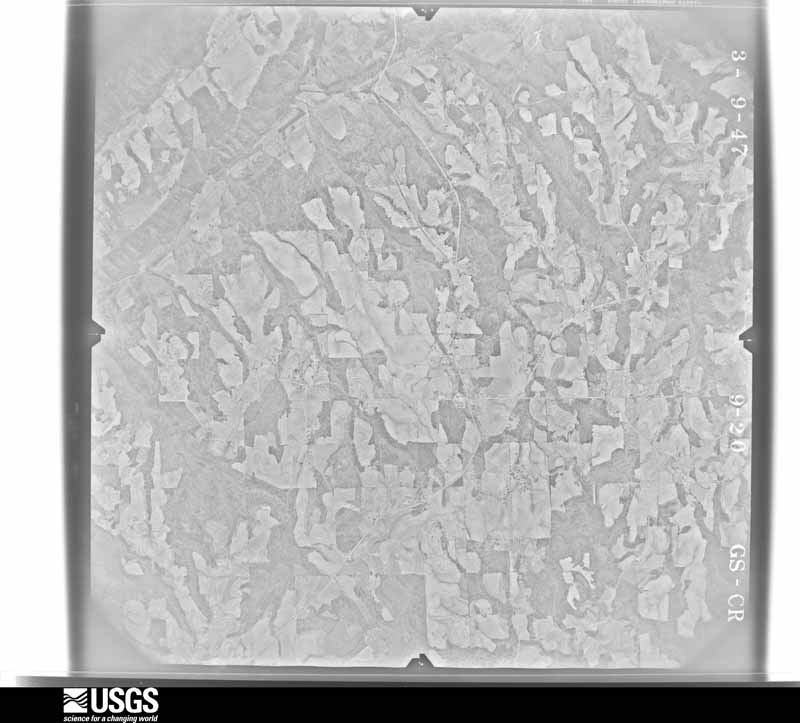
U.S. Geological Survey aerial photograph, 1947-03-09, scale 1:27200
1947-03-09, scale 1:27200. U.S. Geological Survey aerial photograph.
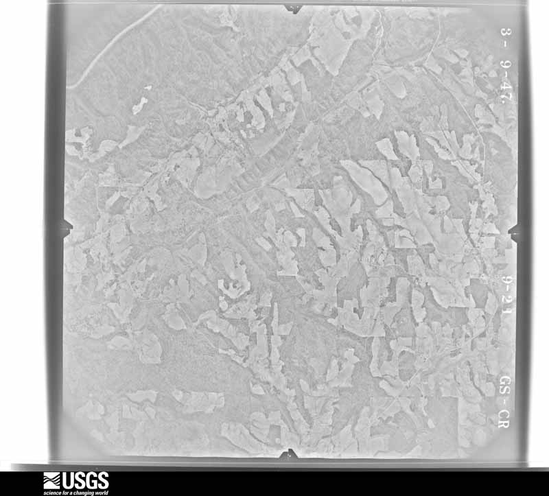
U.S. Geological Survey aerial photograph, 1947-03-09, scale 1:27200
1947-03-09, scale 1:27200. U.S. Geological Survey aerial photograph.
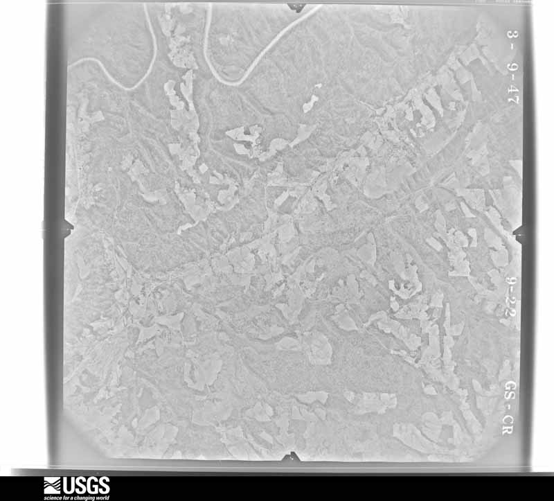
U.S. Geological Survey aerial photograph, 1947-03-09, scale 1:27200
1947-03-09, scale 1:27200. U.S. Geological Survey aerial photograph.
U.S. Geological Survey aerial photograph, 1947-03-09, scale 1:27200
1947-03-09, scale 1:27200. U.S. Geological Survey aerial photograph.
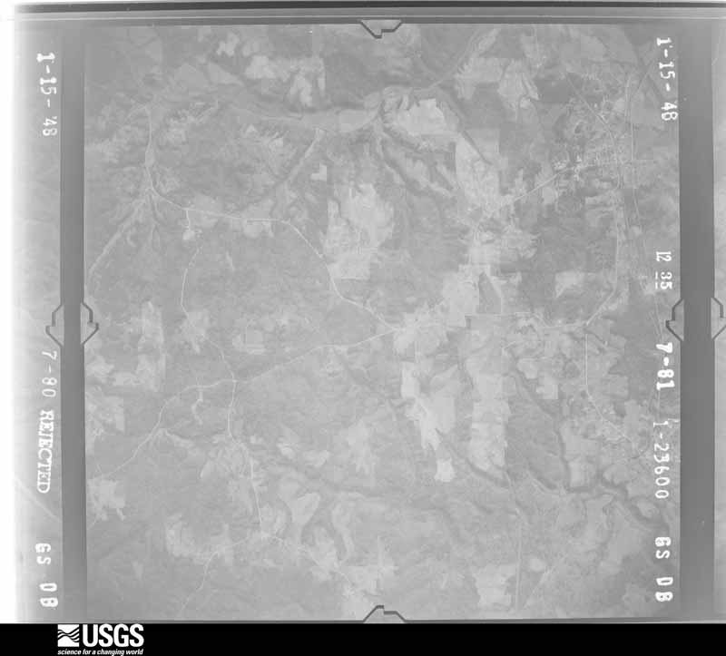
U.S. Geological Survey aerial photograph, 1948-01-15, scale 1:23600
1948-01-15, scale 1:23600. U.S. Geological Survey aerial photograph.
U.S. Geological Survey aerial photograph, 1948-01-15, scale 1:23600
1948-01-15, scale 1:23600. U.S. Geological Survey aerial photograph.
U.S. Geological Survey aerial photograph, 1948-01-15, scale 1:23600
1948-01-15, scale 1:23600. U.S. Geological Survey aerial photograph.
U.S. Geological Survey aerial photograph, 1948-01-15, scale 1:23600
1948-01-15, scale 1:23600. U.S. Geological Survey aerial photograph.
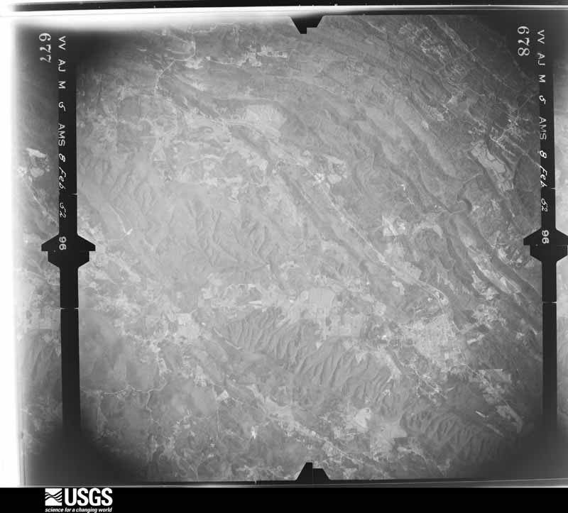
U.S. Geological Survey aerial photograph, 1952-02-08, scale 1:69000
1952-02-08, scale 1:69000. U.S. Geological Survey aerial photograph.
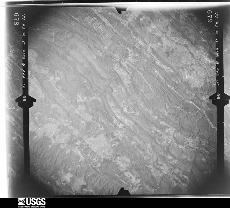
U.S. Geological Survey aerial photograph, 1952-02-08, scale 1:69000
1952-02-08, scale 1:69000. U.S. Geological Survey aerial photograph.
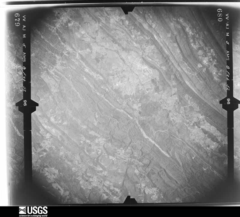
U.S. Geological Survey aerial photograph, 1952-02-08, scale 1:69000
1952-02-08, scale 1:69000. U.S. Geological Survey aerial photograph.
U.S. Geological Survey aerial photograph, 1952-02-08, scale 1:69000
1952-02-08, scale 1:69000. U.S. Geological Survey aerial photograph.
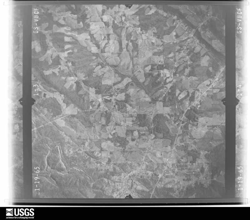
U.S. Geological Survey aerial photograph, 1965-01-19, scale 1:27000
1965-01-19, scale 1:27000. U.S. Geological Survey aerial photograph.
U.S. Geological Survey aerial photograph, 1965-01-19, scale 1:27000
1965-01-19, scale 1:27000. U.S. Geological Survey aerial photograph.
U.S. Geological Survey aerial photograph, 1965-01-19, scale 1:27000
1965-01-19, scale 1:27000. U.S. Geological Survey aerial photograph.
U.S. Geological Survey aerial photograph, 1965-01-19, scale 1:27000
1965-01-19, scale 1:27000. U.S. Geological Survey aerial photograph.
U.S. Geological Survey aerial photograph, 1968-02-09, scale 1:124816
1968-02-09, scale 1:124816. U.S. Geological Survey aerial photograph.
U.S. Geological Survey aerial photograph, 1968-02-09, scale 1:124816
1968-02-09, scale 1:124816. U.S. Geological Survey aerial photograph.
U.S. Geological Survey aerial photograph, 1968-02-09, scale 1:124816
1968-02-09, scale 1:124816. U.S. Geological Survey aerial photograph.
U.S. Geological Survey aerial photograph, 1968-02-09, scale 1:124816
1968-02-09, scale 1:124816. U.S. Geological Survey aerial photograph.
U.S. Geological Survey aerial photograph, 1970-02-21, scale 1:28000
1970-02-21, scale 1:28000. U.S. Geological Survey aerial photograph.
U.S. Geological Survey aerial photograph, 1970-02-21, scale 1:28000
1970-02-21, scale 1:28000. U.S. Geological Survey aerial photograph.
U.S. Geological Survey aerial photograph, 1970-02-21, scale 1:28000
1970-02-21, scale 1:28000. U.S. Geological Survey aerial photograph.
U.S. Geological Survey aerial photograph, 1970-02-21, scale 1:28000
1970-02-21, scale 1:28000. U.S. Geological Survey aerial photograph.
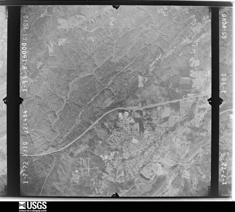
U.S. Geological Survey aerial photograph, 1972-01-07, scale 1:32000
1972-01-07, scale 1:32000. U.S. Geological Survey aerial photograph.
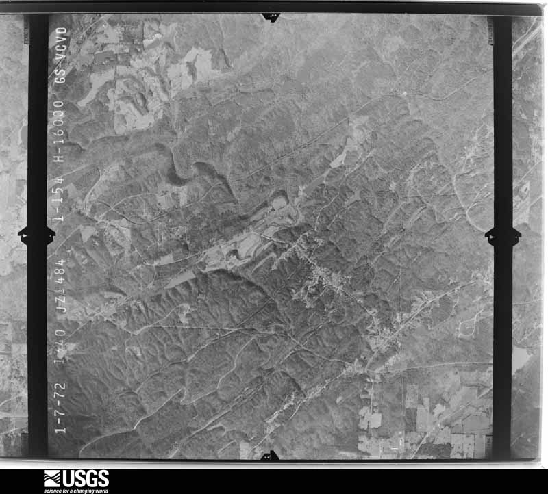
U.S. Geological Survey aerial photograph, 1972-01-07, scale 1:32000
1972-01-07, scale 1:32000. U.S. Geological Survey aerial photograph.
U.S. Geological Survey aerial photograph, 1972-01-07, scale 1:32000
1972-01-07, scale 1:32000. U.S. Geological Survey aerial photograph.
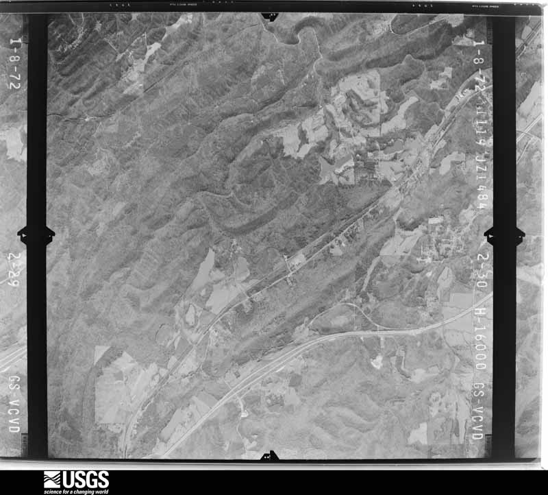
U.S. Geological Survey aerial photograph, 1972-01-08, scale 1:32000
1972-01-08, scale 1:32000. U.S. Geological Survey aerial photograph.
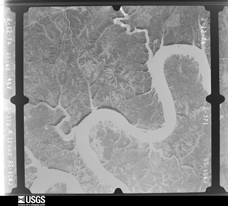
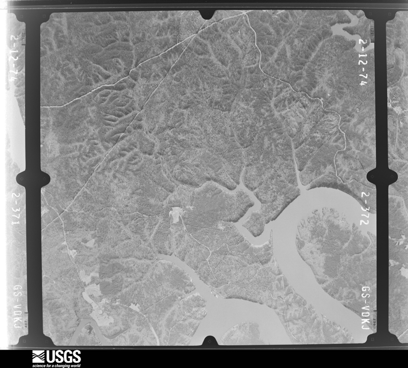
U.S. Geological Survey aerial photograph, 1974-02-12, scale 1:24000
1974-02-12, scale 1:24000. U.S. Geological Survey aerial photograph.
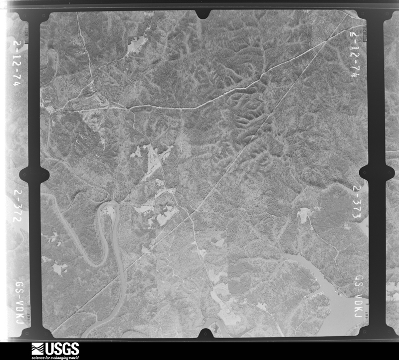
U.S. Geological Survey aerial photograph, 1974-02-12, scale 1:24000
1974-02-12, scale 1:24000. U.S. Geological Survey aerial photograph.
U.S. Geological Survey aerial photograph, 1974-02-12, scale 1:24000
1974-02-12, scale 1:24000. U.S. Geological Survey aerial photograph.
U.S. Geological Survey aerial photograph, 1974-02-12, scale 1:24000
1974-02-12, scale 1:24000. U.S. Geological Survey aerial photograph.
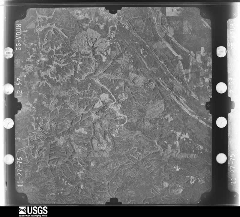
U.S. Geological Survey aerial photograph, 1975-12-01, scale 1:78000
1975-12-01, scale 1:78000. U.S. Geological Survey aerial photograph.
U.S. Geological Survey aerial photograph, 1975-12-01, scale 1:78000
1975-12-01, scale 1:78000. U.S. Geological Survey aerial photograph.
U.S. Geological Survey aerial photograph, 1975-12-01, scale 1:78000
1975-12-01, scale 1:78000. U.S. Geological Survey aerial photograph.
U.S. Geological Survey aerial photograph, 1975-12-01, scale 1:78000
1975-12-01, scale 1:78000. U.S. Geological Survey aerial photograph.
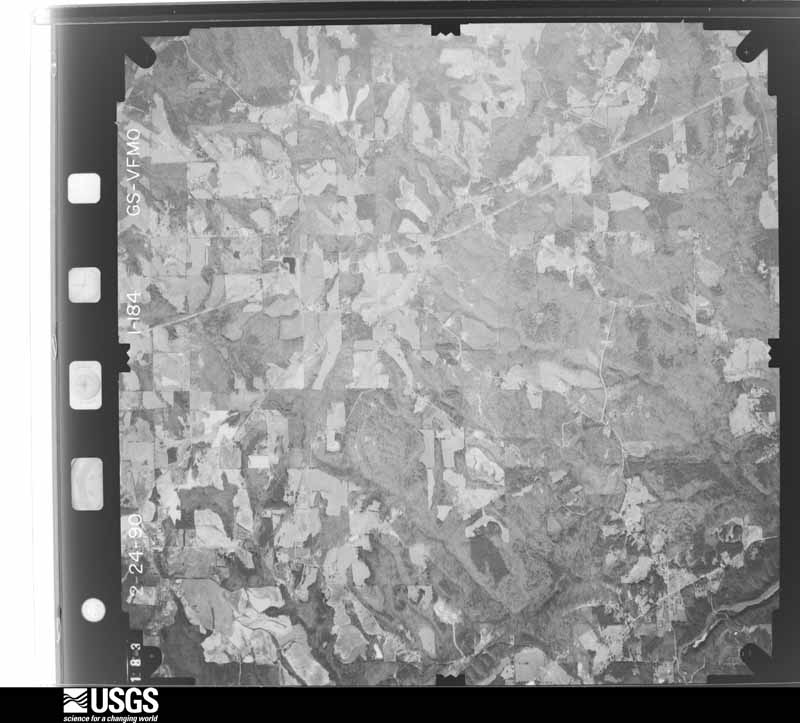
U.S. Geological Survey aerial photograph, 1990-02-01, scale 1:30000
1990-02-01, scale 1:30000. U.S. Geological Survey aerial photograph.
U.S. Geological Survey aerial photograph, 1990-02-01, scale 1:30000
1990-02-01, scale 1:30000. U.S. Geological Survey aerial photograph.
U.S. Geological Survey aerial photograph, 1990-02-01, scale 1:30000
1990-02-01, scale 1:30000. U.S. Geological Survey aerial photograph.
U.S. Geological Survey aerial photograph, 1990-02-01, scale 1:30000
1990-02-01, scale 1:30000. U.S. Geological Survey aerial photograph.
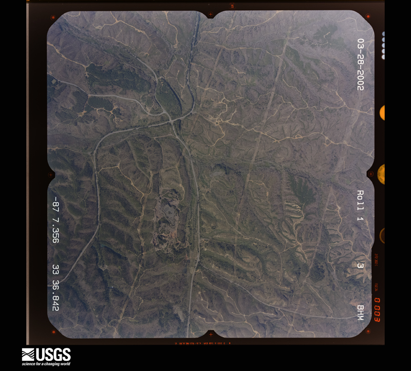
U.S. Geological Survey aerial photograph, 2002-03-28, scale 1:15000
2002-03-28, scale 1:15000. U.S. Geological Survey aerial photograph.
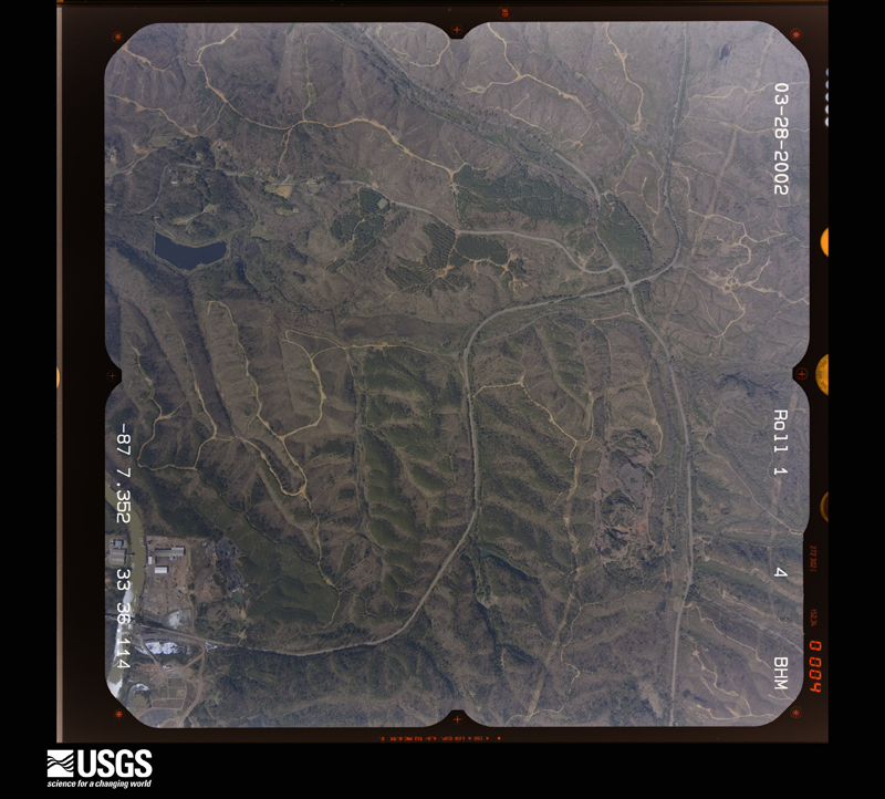
U.S. Geological Survey aerial photograph, 2002-03-28, scale 1:15000
2002-03-28, scale 1:15000. U.S. Geological Survey aerial photograph.
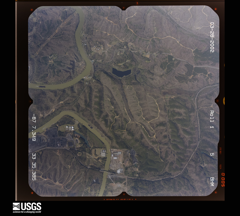
U.S. Geological Survey aerial photograph, 2002-03-28, scale 1:15000
2002-03-28, scale 1:15000. U.S. Geological Survey aerial photograph.
U.S. Geological Survey aerial photograph, 2002-03-28, scale 1:15000
2002-03-28, scale 1:15000. U.S. Geological Survey aerial photograph.

Weather records

63 stations, 36 gages

The thermometers that kept this county's weather, and the gages that measured the flow of its streams, as the federal records hold them. The extremes below are measured values from those records, not estimates.

The 1950 census, district by district

841 districts

Who lived here in 1950, one enumeration district at a time, as the Census Bureau described each district. Each row opens its official National Archives result, with Population Schedules and ED Maps available there.

  • 68-1Birmingham city, comprising Election Precinct 9 (Tract 14-part) Bounded by Village Creek; Election Precinct Line; Bankhead Highway; Center, Election Precinct Line. The Enumeration District consists of the following blocks: 5W, 10, 11, 12E, 13E, 14, 15, 16, 17, 23, 24, 25, 26, 31, 32W, 42, 43, 52W, 53W
  • 68-2Birmingham city, comprising Election Precinct 9 (Tract 13-part) Bounded by Bankhead Highway; 10th Avenue; 2nd, 11th Avenue, Center. This Enumeration District consists of the following blocks: 1, 2, 3, 4, 23, 24, 25, 26, 32, 33, 34, 35
  • 68-3Birmingham city - That part in Election Precinct 9 (Tract 13-part) Bounded by 11th Avenue, Election Precinct line, 11th Avenue, Election Precinct line, Center, 11th Avenue; 2nd; 10th Avenue, 2nd, 10th Court, 10th Avenue; Election Precinct line. This Enumeration District consists of the following blocks: 5S, 19S, 21S, 22E, 27, 28, 29, 30, 31
  • 68-4Birmingham city - That part in Election Precinct 9 (Tract 29-part) Bounded by 10th Avenue; 6th; 9th Court;, 2nd. This Enumeration District consists of the following blocks: 1, 2, 3, 4
  • 68-5Birmingham city - That part in Election Precinct 9 (Tract 29-part) Bounded by 10th Avenue; 2nd; 6th Avenue; 1st. This Enumeration District consists of the following blocks: 5, 13, 21, 26
  • 68-6Birmingham city - That part in Election Precinct 9 (Tract 29-part) Bounded by 10th Avenue; 1st, 9th Court, Center; 8th Avenue; 3rd, 9th Court, 2nd. This Enumeration District consists of the following blocks: 6, 7, 8, 9, 10, 11
  • 68-7Birmingham city - That part in Election Precinct 9 (Tract 29-part) Bounded by 9th Court; 1st; 8th Avenue; Center. This Enumeration District consists of the following block: 12
  • 68-8Birmingham city - That part in Election Precinct 9 (Tract 29-part) Bounded by 9th Court; 3rd; 8th Avenue; 2nd. This Enumeration District consists of the following block: 14
  • 68-9Birmingham city - That part in Election Precinct 9 (Tract 29-part) Bounded by 9th Court; 6th; 8th Avenue; 3rd. This Enumeration District consists of the following blocks: 15, 16, 17, 18, 19, 20
  • 68-10Birmingham city - That part in Election Precinct 9 (Tract 29-part) Bounded by 8th Avenue; 6th; Graymont Avenue, 4th, 6th Avenue; 2nd. This Enumeration District consists of the following blocks: 27, 28, 29, 30, 31, 32
  • 68-11Birmingham city - That part in Election Precinct 9 (Tract 29-part) Bounded by 8th Avenue; 1st, 6th Avenue, 2nd, Graymont Avenue, 1st; 4th Terrace; Center. This Enumeration District consists of the following blocks: 25, 35, 36, 40
  • 68-12Birmingham city - That part in Election Precinct 9 (Tract 29-part) Bounded by 8th Avenue; Center; Graymont Avenue; Jasper Road. This Enumeration District consists of the following blocks: 22, 23, 24, 37, 38, 39
  • 68-13Birmingham city - That part in Election Precinct 9 (Tract 29-part) Bounded by Graymont Avenue; 3rd; 4th Court; Center, 4th Terrace, 1st. This Enumeration District consists of the following blocks: 41, 42, 49, 50, 51
  • 68-14Birmingham city - That part in Election Precinct 9 (Tract 29-part) Bounded by 6th Avenue, 4th, Graymont Avenue; 6th, 6th extended; 4th Court; 3rd, Graymont Avenue, 2nd. This Enumeration District consists of the following blocks: 33, 34, 43, 44, 45, 46, 47, 48
  • 68-15Birmingham city - That part in Election Precinct 9 (Tract 30-part) Bounded by 10th Avenue, Election Precinct line, Arkadelphia Road, 10th Avenue, 10th Court; 2nd, 9th Court, 3rd; 8th Avenue, Jasper Road, 9th Avenue; Election Precinct line. This Enumeration District consists of the following blocks: 1, 2, 3, 5S, 7, 8, 9, 10, 11, 12, 13, 14, 15, 16
  • 68-16Birmingham city - That part in Election Precinct 9 (Tract 30-part) Bounded by 9th Avenue; Jasper Road;, 8th Avenue, 7th, 8th Court; Arkadelphia Road. This Enumeration District consists of the following blocks: 17, 18, 19, 20, 21, 22, 23, 24, 25, 26, 27, 28, 30, 31, 32
  • 68-17ABirmingham city - That part in Election Precinct 9 (Tract 30-part) Bounded by Graymont Avenue; Center; Elyton Court; 3rd. This Enumeration District consists of the following blocks: 58-part
  • 68-17BBirmingham city - That part in Election Precinct 9 (Tract 30-part) Bounded by Elyton Court; Elyton Parkway; 3rd Avenue; 3rd. This Enumeration District consists of the following blocks: 58-part
  • 68-17CBirmingham city - That part in Election Precinct 9 (Tract 30-part) Bounded by Elyton Court; Center; 3rd Avenue; Elyton Parkway. This Enumeration District consists of the following blocks: 58-part
  • 68-18Birmingham city - That part in Election Precinct 9 (Tract 30-part) Bounded by 8th Avenue; Jasper Road, Graymont Avenue, 3rd; 3rd Avenue; 6th. This Enumeration District consists of the following blocks: 33, 34, 35, 59, 60, 61, 62, 86, 87, 88, 89, 90, 91
  • 68-19Birmingham city - That part in Election Precinct 9 (Tract 30-part) Bounded by 8th Court, 7th, 8th Avenue; 6th, 3rd Avenue, 5th extended; Valley Creek; 7th, 8th. This Enumeration District consists of the following blocks: 29, 36, 37, 56, 57, 63, 64, 84, 85, 92, 112, 113
  • 68-20Birmingham city - That part in Election Precinct 9 (Tract 30-part) Bounded by 8th Avenue; 8th; 4th Terrace; 11th. This Enumeration District consists of the following blocks: 38, 39, 40, 54, 55, 65, 66
  • 68-21Birmingham city - That part in Election Precinct 9 (Tract 30-part) Bounded by Pike Road, 8th Avenue; 11th; 4th Terrace; 15th. This Enumeration District consists of the following blocks: 41, 42, 43, 50, 51, 52, 53, 67, 68, 69, 70, 71
  • 68-22Birmingham city - That part in Election Precinct 9 (Tract 30-part) Bounded by Pike Road; 15th, 4th Avenue, 16th; 3rd Avenue,; Border extended, Border, Border extended. This Enumeration District consists of the following blocks: 44, 45, 46, 47, 48, 49, 72, 73, 74, 75, 76, 77, 100, 101, 102, 103, 104
  • 68-23Birmingham city - That part in Election Precinct 9 (Tract 30-part) Bounded by 4th Terrace; 12th, 4th Avenue, 11th; 3rd Avenue; 16th, 4th Avenue, 15th. This Enumeration District consists of the following blocks: 78, 79, 80, 97, 98, 99, 105, 106, 107, 108, 109
  • 68-24Birmingham city - That part in Election Precinct 9 (Tract 30-part) Bounded by 4th Terrace; 8th; 3rd Avenue; 11th, 4th Avenue, 12th. This Enumeration District consists of the following blocks: 81, 82, 83, 93, 94, 95, 96, 110, 111
  • 68-25Birmingham city - That part in Election Precinct 9 (Tract 12-part) Bounded by Election Precinct line, 9th Avenue; Arkadelphia Road; 8th Avenue, Pike Road; Election Precinct line. This Enumeration District consists of the following blocks: 82SE, 88, 89
  • 68-26Birmingham city - That part in Election Precinct 9 (Tract 39-part) Bounded by 3rd Avenue; 8th, 7th, Alabama Avenue, 8th; Lomb Avenue; 12th. This Enumeration District consists of the following blocks: 1, 2, 3, 4, 17, 18, 19, 20, 21, 29, 30, 31, 32, 33
  • 68-27Birmingham city - That part in Election Precinct 9 (Tract 39-part) Bounded by 3rd Avenue; 12th; Lomb Avenue; 15th, 2nd Court, 14th. This Enumeration District consists of the following blocks: 5, 6, 14, 15, 16, 22, 23, 24, 26, 27, 28, 34, 35, 36
  • 68-28Birmingham city - That part in Election Precinct 9 (Tract 39-part) Bounded by Bessemer Road, 3rd Avenue; 14th, 2nd Court, 15th, Lomb Avenue; Valley Creek; 18th, Fayette Avenue. This Enumeration District consists of the following blocks: 7, 8, 9, 10, 11, 12, 13, 25, 37, 38, 39, 40, 41, 42, 44, 45, 50
  • 68-29Birmingham city - That part in Election Precinct 9 (Tract 39-part) Bounded by Bessemer Road; Fayette Avenue, 18th; Valley Creek; S. Park Road, Avenue U, 48th Place, Avenue V. This Enumeration District consists of the following blocks: 43, 46, 47, 48, 49, 51, 52
  • 68-30Birmingham city - That part in Election Precinct 9 (Tract 40-part) Bounded by Valley Creek; 5th; Tuscaloosa Avenue, 6th, Princeton Avenue, 7th, Lomb Avenue; 8th, Alabama Avenue, 7th. This Enumeration District consists of the following blocks: 1, 2, 3, 4, 5, 6, 7, 8, 9, 34, 35, 36, 63
  • 68-31Birmingham city - That part in Election Precinct 9 (Tract 40-part) Bounded by Lomb Avenue; 7th; Tuscaloosa Avenue; 10th. This Enumeration District consists of the following blocks: 16, 33, 37, 38, 59, 60
  • 68-32Birmingham city - That part in Election Precinct 9 (Tract 40-part) Bounded by Valley Creek, Lomb Avenue; 10th; Fulton Avenue; 13th, Woodland Avenue, 15th. This Enumeration District consists of the following blocks: 10, 15, 17, 18, 19, 30, 31, 32
  • 68-33Birmingham city - That part in Election Precinct 9 (Tract 40-part) Bounded by Valley Creek; 15th, Monroe Avenue, 16th; Woodland Avenue; 18th. This Enumeration District consists of the following blocks: 11, 12, SUPERVISOR NOTE: This Enumeration District is expected to require subdivision. Examine before enumeration. See instructions.
  • 68-34Birmingham city - That part in Election Precinct 9 (Tract 40-part) Bounded by Woodland Avenue, 16th, Monroe Avenue; 15th;, Fulton Avenue, 16th Place, Tuscaloosa Avenue, 16th Way, Waco Avenue, Frances Place, 17th, St. Charles Avenue; 18th. This Enumeration District consists of the following blocks: 13, 14, 22, 23, 24, 25, 26, 27, 47, 48, 49, 50, 53
  • 68-35Birmingham city - That part in Election Precinct 9 (Tract 40-part) Bounded by Woodland Avenue; 13th; Cotton Avenue; 14th, Fulton Avenue, 15th. This Enumeration District consists of the following blocks: 20, 21, 28, 29, 42, 55, 72
  • 68-36Birmingham city - That part in Election Precinct 9 (Tract 40-part) Bounded by Fulton Avenue; 10th; Tuscaloosa Avenue; 13th. This Enumeration District consists of the following blocks: 39, 40, 41, 56, 57, 58
  • 68-37Birmingham city - That part in Election Precinct 9 (Tract 40-part) Bounded by Princeton Avenue, 6th, Tuscaloosa Avenue; Montevallo Road; Alabama Great Southern Railroad; 7th. This Enumeration District consists of the following blocks: 61, 62, 64, 65, 94, 95, 96, 97, 98
  • 68-38Birmingham city - That part in Election Precinct 9 (Tract 40-part) Bounded by Tuscaloosa Avenue; 7th; Alabama Great Southern Railroad; 10th. This Enumeration District consists of the following blocks: 66, 67, 68, 91, 92, 93, 99, 100, 101
  • 68-39Birmingham city - That part in Election Precinct 9 (Tract 40-part) Bounded by Tuscaloosa Avenue; 10th; Alabama Great Southern Railroad; 14th, McMillon Avenue, 13th. This Enumeration District consists of the following blocks: 69, 70, 71, 88, 89, 90, 102, 103, 104
  • 68-40Birmingham city - That part in Election Precinct 9 (Tract 40-part) Bounded by Fulton Avenue; 14th; Cotton Avenue; 16th Place, Tuscaloosa Avenue, 16th Place. This Enumeration District consists of the following blocks: 43, 44, 45, 46, 54, 73
  • 68-41Birmingham city - That part in Election Precinct 9 (Tract 40-part), excluding Convent of the Most Holy Sacrament (Sisters of the Most Holy Sacrament) in Block 84 Bounded by Cotton Avenue; 13th, McMillon Avenue, 14th; Alabama Great Southern Railroad; Pearson Avenue, 16th Place. This Enumeration District consists of the following blocks: 83, 84-part, 85, 86, 87, 105, 106, 107, 108, 109
  • 68-42Birmingham city - That part in Election Precinct 9 (Tract 40-part), comprising Convent of the Most Holy Sacrament (Sisters of the Most Holy Sacrament) in Block 84
  • 68-43Birmingham city - That part in Election Precinct 9 (Tract 40-part) Bounded by Frances Place, Waco Avenue, 16th Way, Tuscaloosa Avenue; 16th Place, Pearson Avenue; Alabama Great Southern Railroad; 17th. This Enumeration District consists of the following blocks: 52, 75, 76, 81, 82, 110, 111
  • 68-44Birmingham city - That part in Election Precinct 9 (Tract 40-part) Bounded by St. Charles Avenue; 17th; Alabama Great Southern Railroad; 18th, Pearson Avenue, 17th Place, 18th. This Enumeration District consists of the following blocks: 51, 77, 78, 79, 80, 112, 113, 114, 115, 116
  • 68-45Birmingham city - That part in Election Precinct 9 (Tract 41-part) Bounded by 4th Court; 6th; 3rd Avenue; Valley Creek, 3rd. This Enumeration District consists of the following blocks: 1, 2, 3, 4, 11, 12, 13, 14
  • 68-46Birmingham city - That part in Election Precinct 9 (Tract 41-part) Bounded by 4th Court; 3rd, Valley Creek; 3rd Avenue; Center. This Enumeration District consists of the following blocks: 5, 6, 7, 8, 9, 10
  • 68-47Birmingham city - That part in Election Precinct 9 (Tract 41-part) Bounded by 3rd Avenue; Center; Tuscaloosa Avenue; 5th, 5th extended. This Enumeration District consists of the following blocks: 19, 20, 21, 22, 23, 24, 25, 26, 27, 28, 37, 38, 39, 40
  • 68-48Birmingham city - That part in Election Precinct 9 (Tract 41-part) Bounded by 3rd Avenue; 6th; 2nd Avenue; Center. This Enumeration District consists of the following blocks: 15, 16, 17, 18, 29, 30, 34, 35, 36
  • 68-49Birmingham city - That part in Election Precinct 9 (Tract 41-part) Bounded by 2nd Avenue; 5th, 5th extended; Alabama Great Southern Railroad, 2nd, Morris Avenue; Center. This Enumeration District consists of the following blocks: 31, 32, 33, 34, 45, 46, 47
  • 68-50Birmingham city - That part in Election Precinct 9 (Tract 41-part) Bounded by Tuscaloosa Avenue, Center, Morris Avenue; 2nd; Alabama Great Southern Railroad; Montevallo Road. This Enumeration District consists of the following blocks: 41, 42, 43, 48, 49, 50, 51, 52, 53, 54, 55, 56, 57, 58
  • 68-51Birmingham city - That part of Election Precinct 9 (Tract 28-part) Bounded by 6th; 6th Place, Election Precinct line; Alabama Great Southern Railroad; 5th extended, 5th. This Enumeration District consists of the following blocks: 76, 98, 99W, 114W
  • 68-52Birmingham city - That part in Election Precinct 9 (Tract 42-part) Bounded by Alabama Great Southern Railroad; Election Precinct line, 6th;, 6th Avenue, 5th, Kappa Avenue, 3rd, Iota Avenue, 2nd, 2nd Avenue; 1st, 1st Place. This Enumeration District consists of the following blocks: 1W, 2, 3
  • 68-53Birmingham city - That part in Election Precinct 9 (Tract 42-part) Bounded by 2nd Avenue, 2nd, Iota Avenue; 3rd, Kappa Avenue, Omega; 6th Avenue; 1st. This Enumeration District consists of the following blocks: 4, 5, 7, 8, 9, 10, 11, 12, 23, 24, 25, 26, 27
  • 68-54Birmingham city - That part in Election Precinct 9 (Tract 42-part) Bounded by Kappa Avenue; 5th; 6th Avenue; Omega. This Enumeration District consists of the following blocks: 13, 14, 15, 16, 20, 21, 22
  • 68-55Birmingham city - That part in Election Precinct 9 (Tract 42-part) Bounded by 6th Avenue; 6th, Election Precinct line; Louisville and Nashville Railroad; 16th Avenue, 1st. This Enumeration District consists of the following blocks: 28, 29, 30, 31, 32W, 33, 34, 35, 36, 37
  • 68-56Birmingham city - That part in Election Precinct 9 (Tract 42-part) Bounded by 16th Avenue; Louisville and Nashville Railroad; 1st extended, 1st. This Enumeration District consists of the following blocks: 38, 39, 40, 41, 42, 43, 45, 46, 47
  • 68-57Birmingham city - That part in Election Precinct 9 (Tract 51-part) Bounded by Alabama Great Southern Railroad; 1st Place, 1st, 2nd Avenue, Center Place, 3rd Avenue, Center; 6th Avenue; Montevallo Road. This Enumeration District consists of the following blocks: 1, 2, 3, 4, 5, 6, 7, 8, 9, 11, 12, 13, 14, 17, 18
  • 68-58Birmingham city - That part in Election Precinct 9 (Tract 51-part) Bounded by 3rd Avenue, Center Place, 2nd Avenue; 1st; 17th Avenue; Center. This Enumeration District consists of the following blocks: 10, 15, 16, 19, 20, 21, 22, 23, 28
  • 68-59Birmingham city - That part in Election Precinct 9 (Tract 51-part) Bounded by 6th Avenue, Center, 17th Avenue; 1st, 1st extended, Louisville and Nashville Railroad; Old City limits; Montevallo Road. This Enumeration District consists of the following blocks: 24, 25, 26, 27, 29, 30, 31, 32, 33, 34, 35, 36, 37, 38, 39, 40, 41, 42
  • 68-60Birmingham city - That part in Election Precinct 9 (Tract 52-part) Bounded by Alabama Great Southern Railroad; Montevallo Road; Old City limits; 16th, Boise Avenue, 15th Way. This Enumeration District consists of the following blocks: 1, 2, 3, 4, 16, 17, 18, 23, 24, 25, 26, 27, 28
  • 68-61Birmingham city - That part in Election Precinct 9 (Tract 52-part) Bounded by Alabama Great Southern Railroad; 15th Way, Boise Avenue, 16th; Old City limits; 17th. This Enumeration District consists of the following blocks: 5, 6, 7, 12, 13, 14, 15, 19, 20, 21, 22, 29, 30, 31
  • 68-62Birmingham city - That part in Election Precinct 9 (Tract 52-part) Bounded by Alabama Great Southern Railroad; 17th; Old City limits; 18th, Jefferson Avenue, 18th. This Enumeration District consists of the following blocks: 8, 9, 11, 32, 33, 34, 35, 36
  • 68-63Birmingham city - That part in Election Precinct 9 (Tract 57-part) Bounded by Alabama Great Southern Railroad; 18th, Jefferson Avenue, 18th; Old City limits. This Enumeration District consists of the following blocks: 1, 2
  • 68-64Birmingham city - That part in Election Precinct 9 (Tract 38-part) Bounded by Valley Creek; 18th; Fulton Avenue, 21st, St. Charles Avenue; Valley Creek. This Enumeration District consists of the following blocks: 46, 47, 48, 49, 50, 51, 52, 53, 54, 55, 56, 57, 58
  • 68-65Birmingham city - That part in Election Precinct 9 (Tract 38-part) bounded by Fulton Avenue; 18th, 17th Place; Pearson Avenue; 19th, Lee Avenue, 19th, Princeton Avenue, 21st. This Enumeration District consists of the following blocks: 59, 60, 61, 62, 63, 64, 65, 66, 67, 68, 69, 71
  • 68-66Birmingham city - That part in Election Precinct 9 (Tract 38-part) Bounded by St. Charles Avenue, 21st, Princeton Avenue; 19th; Lee Avenue, St. Charles Avenue; Valley Creek. This Enumeration District consists of the following blocks: 70, 72, 73, 74, 75, 76, 77, 78, 80, 81, 82, 83, 84
  • 68-67Birmingham city - That part in Election Precinct 9 (Tract 38-part) Bounded by Bessemer Road; Avenue V; 48th Place, Avenue U, 49th; Terrace S. This Enumeration District consists of the following blocks: 1, 2, 3, 17, 18, 19, 20, 21, 22
  • 68-68Birmingham city - That part in Election Precinct 9 (Tract 38-part) Bounded by Bessemer Road; Terrace S; 49th; Terrace R. This Enumeration District consists of the following blocks: 4, 5, 6, 14, 15, 16, 23, 24, 25
  • 68-69Birmingham city - That part in Election Precinct 9 (Tract 38-part) Bounded by Bessemer Road; Terrace R; 49th;, Quincy Court, 48th, Avenue Q. This Enumeration District consists of the following blocks: 7, 8, 9, 10, 11, 12, 13, 26, 27, 28, 29
  • 68-70Birmingham city - That part in Election Precinct 9 (Tract 38-part) Bounded by Bessemer Road; Avenue Q; 52nd. This Enumeration District consists of the following blocks: 33, 34, 35, 36, 37, 38, 86, 87
  • 68-71Birmingham city - That part in Election Precinct 9 (Tract 38-part) Bounded by Bessemer Road, 52nd; Avenue, Q, Old City limits; Old City limits; Old City limits, Avenue M. This Enumeration District consists of the following blocks: 88, 89, 90, 91, 92, 93, 94, 134, 135, 136, 137, 138, 139, 140, 141, 142, 143, 144, 145, 146, 147, 148, 149, 150
  • 68-72Birmingham city - That part in Election Precinct 9 (Tract 38-part) Bounded by 48th, Quincy Court, 49th Avenue; U. S. Park Road, Valley Creek; Old City limits; Avenue Q. This Enumeration District consists of the following blocks: 30, 31, 32, 39, 40, 41, 42, 43, 44, 45, 79, 85, 95, 96, 97, 131, 132, 133
  • 68-73Birmingham city - That part in Election Precinct 9 (Tract 38-part) Bounded by St. Charles Avenue, Lee Avenue; 19th, Pearson Avenue, 20th; Old City limits, S. Park Road, Pearson Avenue, Old City limits; Valley Creek. This Enumeration District consists of the following blocks: 98, 99, 100, 101, 110, 126, 127, 128, 129
  • 68-74Birmingham city - That part in Election Precinct 9 (Tract 57-part) Bounded by Pearson Avenue; S. Park Road; Old City limits. This Enumeration District consists of the following block: 5
  • 68-75Birmingham city - That part in Election Precinct 9 (Tract 38-part) Bounded by Pearson Avenue; 18th; Alabama Great Southern Railroad, Old City limits; 20th. This Enumeration District consists of the following blocks: 102, 103, 104, 105, 106, 107, 108, 109, 111, 112, 113, 114, 115, 116, 117, 118, 119, 120, 121, 122, 123, 124, 125
  • 68-76Birmingham city - That part in Election Precinct 9 (Tract 37-part) Bounded by Warrior Road; Avenue V; Bessemer Road; Terrace R. This Enumeration District consists of the following blocks: 57, 58, 59, 60, 81, 82, 83, 84
  • 68-77Birmingham city - That part in Election Precinct 9 (Tract 37-part) Bounded by Warrior Road; Terrace R; Bessemer Road, Avenue R., Avenue Q, 41st; Avenue K. This Enumeration District consists of the following blocks: 66, 67, 68, 69, 70, 71, 73, 74, 77, 78, 80, 85
  • 68-78Birmingham city - That part in Election Precinct 9 (Tract 34-part) Bounded by Pike Road, Warrior Road; Avenue K; 41st; City limits. This Enumeration District consists of the following blocks: 136, 137, 139, 140, 141
  • 68-79Birmingham city - That part in Election Precinct 9 (Tract 36-part) Bounded by 41st; Avenue Q; 44th, Martin Avenue, 45th; Avenue N. This Enumeration District consists of the following blocks: 1, 2, 3, 9, 10, 11, 12, 13, 14, 21, 22, 23
  • 68-80Birmingham city - That part in Election Precinct 9 (Tract 36-part) Bounded by 41st; Avenue N, 45th, Avenue M; 47th, Court I, 47th Place; City limits. This Enumeration District consists of the following blocks: 4, 5, 6, 7, 8, 15, 16, 17, 18, 19, 20, 28, 29, 30, 31, 32, 43, 44
  • 68-81Birmingham city - That part in Election Precinct 9 (Tract 36-part) Bounded by 47th Place; Avenue I, Court I; City limits; City limits. This Enumeration District consists of the following blocks: 45, 57, 58, 59, 60, 61, 62, 79, 80, 81, 82, 83, 84
  • 68-82Birmingham city - That part in Election Precinct 9 ( Tract 36-part) Bounded by 47th Place, Court I, 47th; Court M., Bessemer Road, Avenue M; Old City limits, City limits; Court I, Avenue I. This Enumeration District consists of the following blocks: 42, 51, 52, 53, 54, 55, 56, 63, 64, 65, 66, 67, 68, 69, 70, 71, 72, 73, 74, 75, 76, 77, 78, 85, 86, 87, 88, 90, 91, 92
  • 68-83Birmingham city - That part in Election Precinct 9 ( Tract 36-part) Bounded by 45th, Martin Avenue, 44th, Avenue R.; Bessemer Road; Court M, 47th, Avenue M.. This Enumeration District consists of the following blocks: 24, 25, 26, 27, 33, 34, 35, 36, 37, 38, 39, 40, 41, 46, 47, 48, 49, 50
  • 68-84Birmingham city - That part in Election Precinct 10 (Tract 1-part) Bounded by 87th;, 6th Avenue, 85th, 4th Avenue; 82nd; Old City limits. This Enumeration District consists of the following blocks: 1, 2, 8, 9, 10, 11, 12, 17, 18, 19, 20, 21, 24, 25, 26, 31, 32, 33
  • 68-85Birmingham city - That part in Election Precinct 10 (Tract 1-part) Bounded by 82nd; 4th Avenue; 30th, 8th Avenue, 81st; 75th. This Enumeration District consists of the following blocks: 6, 7, 13, 14, 15, 16, 27, 28, 29, 30
  • 68-86Birmingham city - That part in Election Precinct 10 (Tract 1-part) Bounded by 85th; Division Avenue; 80th; 4th Avenue. This Enumeration District consists of the following blocks: 36, 37, 43, 44, 45, 46, 47, 48
  • 68-87Birmingham city - That part in Election Precinct 10 (Tract 1-part) Bounded by 87th, Election Precinct line, 1st Avenue, 87th; Division Avenue; 85th; 6th Avenue. This Enumeration District consists of the following blocks: 23, 23, 34, 35, 38S, 39S, 40S, 42, 49
  • 68-88Birmingham city - That part in Election Precinct 10 (Tract 53-part) Bounded by Election Precinct line; 2nd Avenue; 87th; 1st Avenue. This Enumeration District consists of the following blocks: 14S, 15S, 16S
  • 68-89Birmingham city - That part in Election Precinct 10 (Tract 2-part) Bounded by 52nd Ave, 81st, 8th Avenue, 80th; 4th Avenue, 77th, 5th Avenue; 43rd Avenue, 65th; Old City limits. This Enumeration District consists of the following blocks: 1, 2, 3, 4, 5, 6, 7, 8, 9, 10, 11, 12, 13, 14, 15, 19, 20, 21
  • 68-90VOID
  • 68-91Birmingham city - That part in Election Precinct 10 (Tract 2-part) Bounded by 77th, 1st Avenue, 80th; Division Avenue, Division Avenue extended, Division Avenue; 75th; 5th Avenue. This Enumeration District consists of the following blocks: 16, 17, 18, 24, 25, 26, 27, 28, 29, 30, 31, 32, 33
  • 68-92Birmingham city - That part in Election Precinct 10 (Tract 2-part) Bounded by 80th; 1st Avenue; 77th; 4th Avenue. This Enumeration District consists of the following blocks: 22, 23
  • 68-93Birmingham city - That part in Election Precinct 10 (Tract 19-part) Bounded by 43rd Avenue; 5th Avenue, 72nd; 1st Avenue, 69th Place, 5th Court, 68th Place, 3rd Avenue; 65th, Election Precinct line. This Enumeration District consists of the following blocks: 1E, 5, 6, 7, 8, 9, 10, 11, 12, 13, 14, 15, 16, 17, 34
  • 68-94VOID
  • 68-95Birmingham city - That part in Election Precinct 10 (Tract 19-part) Bounded by 3rd Avenue, 68th Place; 5th Court, 69th Place, 1st Avenue, 68th; Division Avenue; 65th, 1st Avenue, 65th Place. This Enumeration District consists of the following blocks: 27, 28, 29, 30, 31, 32, 33, 45, 46, 47
  • 68-96Birmingham city - That part in Election Precinct 10 (Tract 19-part) Bounded by 75th; Division Avenue; 68th; 1st Avenue, 72nd, 2nd Avenue, 74th, 1st Avenue. This Enumeration District consists of the following blocks: 35, 36, 38, 39, 40, 41, 42, 43, 44
  • 68-97Birmingham city - That part in Election Precinct 10 (Tract 19-part) Bounded by 75th; 1st Avenue, 74th, 2nd Avenue; 72nd,; 5th Avenue. This Enumeration District consists of the following blocks: 18, 19, 20, 21, 22, 23, 24, 25, 26, 37
  • 68-98Birmingham city - That part in Election Precinct 10 (Tract 18-part) Bounded by 65th Place; 1st Avenue; Louisville and Nashville Railroad, Election Precinct line; 3rd Avenue. This Enumeration District consists of the following block: 28E
  • 68-99Birmingham city - That part in Election Precinct 10 (Tract 18-part) Bounded by 67th, 3rd Ave.; Election Precinct line; Louisville & Nashville Railroad; 1st Ave. This Enumeration District consists of the following blocks: 53, 54, 55, 56, 68, 69W, 70, 79, 80
  • 68-100Birmingham city - That part in Election Precinct 10 (Tract 22-part) Bounded by 75th; 4th Ave.; 72nd; Division Ave. This Enumeration District consists of the following blocks: 1, 2, 3, 14, 15, 16, 17, 18, 19, 26, 27, 28
  • 68-101Birmingham city - That part in Election Precinct 10 (Tract 22-part) Bounded by 72nd; 2nd Ave., 68th, 3rd Ave., 67th, 1st Ave.; 65th; Division Ave. This Enumeration District consists of the following blocks: 4, 5, 6, 7, 8, 9, 10, 11, 12, 13, 23
  • 68-102Birmingham city - That part in Election Precinct 10 (Tract 22-part) Bounded by 75th, 6th Avenue, 76th; London; 70th extended, 70th, Higdon Road; 3rd Avenue, 68th, 2nd Avenue, 72nd, 4th Avenue. This Enumeration District consists of the following blocks: 20, 21, 22, 24, 25, 29, 30, 31, 32, 33, 34, 35, 36, 37, 38, 39, 40, 41, 42, 43
  • 68-103Birmingham city - That part in Election Precinct 10 (Tract 22-part) Bounded by 76th, 77th; City limits; Election Precinct line; London. This Enumeration District consists of the following blocks: 44, 45, 46, 47, 48, 49, 50, 51, 52, 53, 54, 55, 56, 57, 58, 59, 60, 61, 62, 63, 64, 65, 66, 67, 68, 69
  • 68-104Birmingham city - That part in Election Precinct 10 (Tract 20-part) Bounded by 80th; 2nd Avenue; 75th; Division Avenue, Division Avenue extended, Division Avenue. This Enumeration District consists of the following blocks: 1, 2, 3, 4, 5, 6, 7, 8, 9, 10
  • 68-105Birmingham city - That part in Election Precinct 10 (Tract 20-part) Bounded by 78th; 5th Avenue; 75th; 2nd Avenue. This Enumeration District consists of the following blocks: 13, 14, 15, 16, 17, 18, 19, 20, 21, 26, 27, 28, 29, 30
  • 68-106Birmingham city - That part in Election Precinct 10 (Tract 20-part) Bounded by 80th; 7th Court; 78th, 6th Avenue, 78th; 2nd Avenue. This Enumeration District consists of the following blocks: 11, 12, 22, 23, 24, 25, 34, 35, 36, 37, 41, 42
  • 68-107Birmingham city - That part in Election Precinct 10 (Tract 20-part) Bounded by 78th, 6th Avenue, 78th; Rugby Avenue, Belmont Avenue; 77th, 76th, 6th Avenue, 75th; 5th Avenue. This Enumeration District consists of the following blocks: 31, 32, 33, 38, 39, 40, 45, 46, 47, 48
  • 68-108Birmingham city - That part in Election Precinct 10 (Tract 20-part) Bounded by 80th, Rugby Avenue, 80th, 8th Avenue, 80th; City limits; 77th; Belmont Avenue, Rugby Avenue, 78th, 7th Court. This Enumeration District consists of the following blocks: 43, 44, 49, 50, 51, 52, 53, 54, 55, 56, 57
  • 68-109Birmingham city - That part in Election Precinct 10 (Tract 21-part) Bounded by 87th, 2nd Avenue, Red Oak Road; 4th Avenue, 86th, 6th Avenue; 84th; Division Avenue. This Enumeration District consists of the following blocks: 1, 2, 3, 12, 13, 14, 15, 16, 17, 18, 27, 28, 29, 30, 40
  • 68-110Birmingham city - That part in Election Precinct 10 (Tract 21-part) Bounded by 84th; 3rd Avenue; 80th; Division Avenue. This Enumeration District consists of the following blocks: 4, 5, 6, 7, 8, 9, 10, 11, 19, 20, 21, 22
  • 68-111Birmingham city - That part in Election Precinct 10 (Tract 21-part), excluding Atheneum Orphans Home (Daughters of Charity of St. Vincent de Paul) in Block 33 Bounded by 84th; 5th Avenue, Rugby Avenue, 6th Avenue, 82nd, 6th Avenue, 81st Place, 7th Avenue, 81st, 7th Avenue; 80th; 3rd Avenue. This Enumeration District consists of the following blocks: 23, 24, 25, 26, 31, 32, 33-part, 34, 35, 36, 37
  • 68-112Birmingham city - That part in Election Precinct 10 (Tract 21-part), comprising Atheneum Orphans Home (Daughters of Charity of St. Vincent de Paul) in Block 33
  • 68-113Birmingham city - That part in Election Precinct 10 (Tract 21-part) Bounded by Rugby Avenue, 7th Avenue, 83rd; 10th Avenue, 82nd, City limits; 80th, 8th Avenue, 80th, Rugby Avenue, 80th; 7th Avenue, 81st, 7th Avenue, 81st Place, 6th Avenue, 82nd, 6th Avenue. This Enumeration District consists of the following blocks: 45, 46, 47, 48, 49, 50, 51, 58, 59, 60, 61, 62, 63, 64, 65, 66, 71, 72, 73, 74, 75
  • 68-114Birmingham city - That part in Election Precinct 10 (Tract 21-part) Bounded by 86th, 7th Avenue, 85th, 8th Avenue, 85th, 10th Avenue; City limits; 82nd, 10th Avenue, 83rd, 7th Avenue, Rugby Avenue; 5th Avenue, 84th, 6th Avenue. This Enumeration District consists of the following blocks: 38, 39, 41, 42, 43, 44, 52, 53, 54, 55, 56, 57, 67, 68, 69, 70, 76
  • 68-115Birmingham city - That part in Election Precinct 10 (Tract 53-part) Bounded by Election Precinct line; City limits; 10th Avenue, 85th, 8th Avenue, 85th, 7th Avenue, 86th, 6th Avenue, 86th; 4th Avenue. This Enumeration District consists of the following blocks: 24S, 34
  • 68-116Birmingham city - That part in Election Precinct 21 (Tract 6-part) Bounded by Election Precinct line; Louisville and Nashville Railroad; Southern Railway; Vanderbilt Road. This Enumeration District consists of the following blocks: 19S, 20
  • 68-117Birmingham city - That part in Election Precinct 21 (Tract 7-part) Bounded by Election Precinct line; Vanderbilt Road; Southern Railway. This Enumeration District consists of the following blocks: 72S, 73E
  • 68-118Birmingham city - That part in Election Precinct 21 (Tract 17-part) Bounded by Southern Railway; Louisville and Nashville Railroad; 12th Avenue; Vanderbilt Road. This Enumeration District consists of the following block: 1W
  • 68-119Birmingham city - That part in Election Precinct 21 (Tract 16-part) Bounded by Election Precinct line, Southern Railway; Vanderbilt Road; Norwood Boulevard, 35th, 15th Avenue, 33rd, 15th Court, 17th Avenue, 32nd, Norwood Boulevard; 30th. This Enumeration District consists of the following blocks: 1S, 17, 18, 19, 20, 21, 24
  • 68-120Birmingham city - That part in Election Precinct 21 (Tract 16-part) Bounded by 18th Avenue, Election Precinct line, 30th, Norwood Boulevard, 32nd, 17th Avenue; 15th Court, 33rd; 15th Avenue; 26th. This Enumeration District consists of the following blocks: 3S, 10, 11S, 13, 14, 15, 16, 25, 26, 27, 28, 29, 30, 31, 32, 33, 34
  • 68-121Birmingham city - That part in Election Precinct 21 (Tract 16-part) Bounded by 17th Avenue; 26th; 15th Avenue, 23rd, 14th Court; 22nd, 15th Avenue, 21st Place. This Enumeration District consists of the following blocks: 35, 36, 37, 38, 39, 40, 41, 42
  • 68-122Birmingham city - That part in Election Precinct 21 (Tract 16-part) Bounded by 14th Ct., 23rd, 15th Avenue; 26th; 14th Avenue, 23rd, 14th Avenue; 22nd. This Enumeration District consists of the following blocks: 43, 44, 45, 62
  • 68-123Birmingham city - That part in Election Precinct 21 (Tract 16-part) Bounded by 14th Avenue, 22nd, 14th Avenue, 23rd, 14th Avenue, 26th, 15th Avenue; 28th; 13th Avenue, 21st Place, 21st; 21st. This Enumeration District consists of the following blocks: 46, 57, 58, 59, 60, 61, 63, 64
  • 68-124Birmingham city - That part in Election Precinct 21 (Tract 16-part) Bounded by 15th Avenue; 32nd; 13th Avenue; 28th. This Enumeration District consists of the following blocks: 47, 48, 49, 50
  • 68-125Birmingham city - That part in Election Precinct 21 (Tract 16-part) Bounded by Norwood Boulevard; 34th; 11th Avenue; 32nd. This Enumeration District consists of the following blocks: 51, 52, 76, 77, 84
  • 68-126Birmingham city - That part in Election Precinct 21 (Tract 16-part) Bounded by Norwood Boulevard, 35th, Norwood Boulevard; Vanderbilt Road, 12th Avenue, Louisiana and Nashville Railroad; 11th Avenue extended, 11th Avenue; 34th. This Enumeration District consists of the following blocks: 22, 23, 53, 54, 55, 56, 78, 79, 80, 81, 82, 83
  • 68-127Birmingham city - That part in Election Precinct 21 (Tract 16-part) Bounded by 13th Avenue; 32nd; 11th Avenue; 30th. This Enumeration District consists of the following blocks: 74, 75, 85, 86
  • 68-128Birmingham city - That part in Election Precinct 21 (Tract 16-part) Bounded by 13th Avenue; 30th; 11th Avenue; 28th. This Enumeration District consists of the following blocks: 72, 73, 87, 88
  • 68-129Birmingham city - That part in Election Precinct 21 (Tract 16-part) Bounded by 13th Avenue; 28th; 11th Avenue; 24th, 12th Avenue, 25th. This Enumeration District consists of the following blocks: 69, 70, 71, 89, 90, 91, 92
  • 68-130Birmingham city - That part in Election Precinct 21 (Tract 16-part) Bounded by 21st Place, 13th Avenue; 25th, 12th Avenue, 24th; 11th Avenue; 21st. This Enumeration District consists of the following blocks: 65, 66, 67, 68, 93, 94, 95
  • 68-131Birmingham city - That part in Election Precinct 21 (Tract 26-part) Bounded by 11th Avenue, 11th Avenue extended; Louisville and Nashville Railroad; 5th Avenue; 31st, 8th Avenue, 30th. This Enumeration District consists of the following blocks: 1, 2, 3, 4, 5, 23, 24, 25, 26
  • 68-132Birmingham city - That part in Election Precinct 21 (Tract 26-part) Bounded by 11th Avenue; 30th; 8th Avenue; 24th, 9th Avenue, 27th. This Enumeration District consists of the following blocks: 6, 7, 8, 20, 21, 27, 28, 29, 30, 31, 32, 33, 34
  • 68-133Birmingham city - That part in Election Precinct 21 (Tract 26-part) Bounded by 11th Avenue; 27th; 9th Avenue; 24th, 10th Avenue, 23rd. This Enumeration District consists of the following blocks: 9, 10, 11, 12, 17, 18, 19
  • 68-134Birmingham city - That part in Election Precinct 21 (Tract 26-part) Bounded by 11th Avenue; 23rd; 10th Avenue; 20th. This Enumeration District consists of the following blocks: 13, 14, 15
  • 68-135Birmingham city - That part in Election Precinct 21 (Tract 26-part) Bounded by 10th Avenue; 24th; 8th Avenue; 20th. This Enumeration District consists of the following block: 16
  • 68-136Birmingham city - That part in Election Precinct 21 (Tract 26-part) Bounded by 8th Avenue; 31st, 5th Avenue; Louisville and Nashville Railroad, 1st Avenue; 28th, 7th Avenue, 25th. This Enumeration District consists of the following blocks: 35, 36, 37, 38, 39, 40, 41, 42, 47, 48, 49
  • 68-137Birmingham city - That part in Election Precinct 21 (Tract 26-part) Bounded by 7th Avenue; 28th; 1st Avenue; 26th. This Enumeration District consists of the following blocks: 43, 46
  • 68-138Birmingham city - That part in Election Precinct 21 (Tract 26-part) Bounded by 7th Avenue; 26th; 5th Avenue; 25th. This Enumeration District consists of the following blocks: 44, 45
  • 68-139Birmingham city - That part in Election Precinct 21 (Tract 26-part) Bounded by 5th Avenue; 26th, 1st Avenue;, Louisville and Nashville Railroad; 25th. This Enumeration District consists of the following blocks: 50, 51, 52, 53, 54
  • 68-140Birmingham city - That part in Election Precinct 21 (Tract 27-part) Bounded by 8th Avenue; 25th; 7th Avenue, 21st, 7th Avenue; 20th. This Enumeration District consists of the following blocks: 1, 2, 3, 4, 5, 6
  • 68-141Birmingham city - That part in Election Precinct 21 (Tract 27-part) Bounded by 7th Avenue, 21st, 7th Avenue; 22nd; 6th Avenue; 20th. This Enumeration District consists of the following blocks: 13, 14
  • 68-142Birmingham city - That part in Election Precinct 21 (Tract 27-part) Bounded by 7th Avenue; 23rd; 5th Avenue; 22nd. This Enumeration District consists of the following blocks: 15, 20
  • 68-143Birmingham city - That part in Election Precinct 21 (Tract 27-part) Bounded by 7th Avenue; 25th; 6th Avenue; 23rd. This Enumeration District consists of the following blocks: 16, 17
  • 68-144Birmingham city - That part in Election Precinct 21 (Tract 27-part) Bounded by 6th Avenue; 25th; 5th Avenue; 24th. This Enumeration District consists of the following block: 18
  • 68-145Birmingham city - That part in Election Precinct 21 (Tract 27-part), excluding Bankhead Hotel in Block 19 Bounded by 6th Avenue; 24th; 5th Avenue; 23rd. This Enumeration District consists of the following block: 19-part
  • 68-146Birmingham city - That part in Election Precinct 21 (Tract 27-part), comprising Bankhead Hotel in Block 19
  • 68-147Birmingham city - That part in Election Precinct 21 (Tract 27-part), excluding Molton Hotel in Block 22 Bounded by 6th Avenue; 22nd; 5th Avenue; 20th. This Enumeration District consists of the following blocks: 21, 22-part
  • 68-148Birmingham city - That part in Election Precinct 21 (Tract 27-part), comprising Molton Hotel in Block 22
  • 68-149Birmingham city - That part in Election Precinct 21 (Tract 27-part), excluding the Tutwiler Hotel in Block 29 Bounded by 5th Avenue; 21st; 4th Avenue; 20th. This Enumeration District consists of the following block: 29-part, SUPERVISOR NOTE: This Enumeration District is expected to require subdivision. Examine before enumeration. See instructions.
  • 68-150Birmingham city - That part in Election Precinct 21 (Tract 27-part), comprising the Tutwiler Hotel in Block 29
  • 68-151Birmingham city - That part in Election Precinct 21 (Tract 27-part), excluding Empire and Redmont Hotels in Block 30 Bounded by 5th Avenue; 22nd; 3rd Avenue; 21st. This Enumeration District consists of the following blocks: 30-part, 37
  • 68-152Birmingham city - That part in Election Precinct 21 (Tract 27-part), comprising Empire Hotel in Block 30
  • 68-153Birmingham city - That part in Election Precinct 21 (Tract 27-part), comprising Redmont Hotel in Block 30
  • 68-154Birmingham city - That part in Election Precinct 21 (Tract 27-part), excluding Granada Hotel in Block 31, Bounded by 5th Avenue; 24th; 3rd Avenue; 22nd. This Enumeration District consists of the following blocks: 31-part, 32, 35, 36
  • 68-155VOID
  • 68-156Birmingham city - That part in Election Precinct 21 (Tract 27-part), comprising Granada Hotel in Block 31
  • 68-157Birmingham city - That part in Election Precinct 21 (Tract 27-part), excluding Caswell Hotel in Block 33 Bounded by 5th Avenue; 25th; Louisville and Nashville Railroad; 24th. This Enumeration District consists of the following blocks: 33-part, 34, 49, 50, 64, 65
  • 68-158Birmingham city - That part in Election Precinct 21 (Tract 27-part), comprising Caswell Hotel in Block 33
  • 68-159Birmingham city - That part in Election Precinct 21 (Tract 27-part) Bounded by 3rd Avenue; 24th; Louisville and Nashville Railroad; 22nd. This Enumeration District consists of the following blocks: 47, 48, 51, 52, 62, 63, 66, 67
  • 68-160Birmingham city - That part in Election Precinct 21 (Tract 27-part) Bounded by 4th Avenue, 21st, 3rd Avenue; 22nd; 2nd Avenue; 20th. This Enumeration District consists of the following blocks: 38, 45, 46
  • 68-161Birmingham city - That part in Election Precinct 21 (Tract 27-part) Bounded by 2nd Avenue; 22nd; Louisville and Nashville Railroad; 20th. This Enumeration District consists of the following blocks: 53, 54, 60, 61, 68, 69
  • 68-162Birmingham city - That part in Election Precinct 21 (Tract 44-part) Bounded by Louisville and Nashville Railroad; 22nd; 5th Avenue; 21st, 6th Avenue, 20th. This Enumeration District consists of the following blocks: 1, 2, 7, 8, 9, 10, 21, 22, 23, 24, 35, 36, 38
  • 68-163Birmingham city - That part in Election Precinct 21 (Tract 44-part) Bounded by 6th Avenue, 21st, 5th Avenue; 22nd; 8th Court; 20th. This Enumeration District consists of the following blocks: 37, 49, 50, 51, 52, 65, 66
  • 68-164Birmingham city - That part in Election Precinct 21 (Tract 45-part) Bounded by Louisville and Nashville Railroad; 27th extended, 27th; 3rd Avenue, 26th, 4th Avenue; 25th. This Enumeration District consists of the following blocks: 1, 2, 8, 9, 10, 17, 18, 20
  • 68-165Birmingham city - That part in Election Precinct 21 (Tract 45-part) Bounded by Louisville and Nashville Railroad; 25th; 3rd Avenue; 22nd. This Enumeration District consists of the following blocks: 3, 4, 5, 6, 7, 11, 12, 13, 14, 15, 16
  • 68-166Birmingham city - That part in Election Precinct 21 (Tract 45-part) Bounded by 3rd Avenue; 25th; 4th Avenue; 22nd. This Enumeration District consists of the following blocks: 21, 22, 23
  • 68-167Birmingham city - That part in Election Precinct 21 (Tract 45-part) Bounded by 4th Avenue; 25th; 7th Avenue; 22nd. This Enumeration District consists of the following blocks: 24, 25, 26, 31, 32, 33, 34, 35, 36
  • 68-168Birmingham city - That part in Election Precinct 21 (Tract 45-part) Bounded by 4th Ave., 26th, 3rd Ave.; 27th; 6th Ave.; 25th. This Enumeration District consists of the following blocks: 19, 27, 28, 29, 30
  • 68-169Birmingham city - That part in Election Precinct 21 (Tract 45-part) Bounded by 7th Ave., 25th, 6th Ave.; 27th, 7th Ave., 26th; 8th Ave.; 22nd. This Enumeration District consists of the following blocks: 37, 38, 39, 40, 41, 42
  • 68-170Birmingham city - That part in Election Precinct 21 (Tract 45-part) Bounded by 8th Ave.; 26th; 9th Ave.; 24th. This Enumeration District consists of the following block: 45
  • 68-171Birmingham city - That part in Election Precinct 21 (Tract 45-part) Bounded by 9th Avenue; 26th; 10th Avenue; 24th. This Enumeration District consists of the following blocks: 46, 49
  • 68-172Birmingham city - That part in Election Precinct 21 (Tract 45-part) Bounded by 8th Avenue; 24th; 10th Avenue, 23rd, 9th Avenue; 22nd. This Enumeration District consists of the following blocks: 43, 44, 47, 48
  • 68-173Birmingham city - That part in Election Precinct 21 (Tract 46-part) Bounded by Louisville and Nashville Railroad; 32nd; 4th Avenue; 27th, 27th extended. This Enumeration District consists of the following blocks: 1, 2, 3, 4, 5, 6, 7, 8, 9, 10, 11, 12, 13
  • 68-174Birmingham city - That part in Election Precinct 21 (Tract 46-part) Bounded by 4th Avenue; 28th, 5th Avenue, 29th; 7th Avenue; 27th. This Enumeration District consists of the following blocks: 14, 24, 25, 26, 27
  • 68-175Birmingham city - That part in Election Precinct 21 (Tract 46-part) Bounded by 4th Avenue; 30th; 7th Avenue; 29th, 5th Avenue, 28th. This Enumeration District consists of the following blocks: 15, 16, 23, 28
  • 68-176Birmingham city - That part in Election Precinct 21 (Tract 46-part) Bounded by 4th Avenue, 32nd, 5th Avenue; 33rd; 6th Avenue; 30th. This Enumeration District consists of the following blocks: 17, 18, 20, 21, 22
  • 68-177Birmingham city - That part in Election Precinct 21 (Tract 46-part) Bounded by 6th Avenue; 33rd; Clairmont Avenue, 32nd, 8th Avenue; 30th, 7th Avenue, 30th. This Enumeration District consists of the following blocks: 29, 30, 31, 32
  • 68-178Birmingham city - That part in Election Precinct 21 (Tract 47-part) Bounded by Election Precinct line; Election Precinct line; City limits; Country Club Road, Altamont Road, 38th, Cliff Road, 4lst, 11th, 42nd, 12th Avenue, Cliff Road, Essex Road, 10th Avenue, Linwood Road, 8th Avenue, Clairmont Avenue, Overlook Road, Woodvale Road. This Enumeration District consists of the following blocks: 3SE, 47, 48, 80, 104, 105, 127, 128, 129, 130, 131
  • 68-179Birmingham city - That part in Election Precinct 21 (Tract 47-part) Bounded by Election Precinct line; Woodvale Road, Overlook Road, Clairmont Avenue, 8th Avenue, Linwood Road; 10th Avenue, Essex Road, Cliff Road, 11th, 43rd Place, 9th Court; 42nd. This Enumeration District consists of the following blocks: 3SW, 49, 76, 77, 78, 79, 81, 103
  • 68-180Birmingham city - That part in Election Precinct 21 (Tract 47-part) Bounded by Election Precinct line, 8th Court; 42nd; 9th Court, 39th, 9th Court, 38th, Clairmont Avenue; 36th. This Enumeration District consists of the following blocks: 36S, 50, 74, 75
  • 68-181Birmingham city - That part in Election Precinct 21 (Tract 47-part) Bounded by 5th Avenue; 36th, Election Precinct line, 36th; Clairmont Avenue; 33rd. This Enumeration District consists of the following blocks: 17, 18, 19, 20, 21, 36W, 37, 38, 39, 40, 41, 51, 52
  • 68-182Birmingham city - That part in Election Precinct 21 (Tract 47-part) Bounded by 7th Avenue; 30th; Clairmont Avenue; 26th. This Enumeration District consists of the following blocks: 54, 55, 56, 57, 58, 59, 60
  • 68-183Birmingham city - That part in Election Precinct 21 (Tract 47-part), excluding St. Vincents Hospital and Nurses Training School (11 Daughters of Charity of St. Vincent de Paul) in Block 63, Bounded by Clairmont Avenue; 30th; 10th Avenue; 26th. This Enumeration District consists of the following blocks: 61, 62, 63-part, 64, 65, 66, 69
  • 68-184Birmingham city - That part in Election Precinct 21 (Tract 47-part), comprising St. Vincents Hospital and Nurses Training School (11 Daughters of Charity of St. Vincent de Paul) in Block 63
  • 68-185Birmingham city - That part in Election Precinct 21 (Tract 47-part) Bounded by 8th Avenue, 32nd, Clairmont Avenue; Highland Avenue; Highland Avenue; 30th. This Enumeration District consists of the following blocks: 53, 70, 71, 72, 86, 87, 88, 89, 111
  • 68-186Birmingham city - That part in Election Precinct 21 (Tract 47-part) Bounded by Clairmont Avenue; 38th, 11th, 41st; Cliff Road, 38th, Altamont Road, Pawnee Avenue; 33rd, Hillside Avenue, 33rd, Highland Avenue. This Enumeration District consists of the following blocks: 73, 106, 107, 108, 125, 126
  • 68-187Birmingham city - That part in Election Precinct 21 (Tract 47-part) Bounded by 9th Court, 39th, 9th Court; 43rd Place, 11th, Cliff Road; 12th Avenue, 42nd, 11th; 38th. This Enumeration District consists of the following blocks: 82, 83, 84, 85, 97, 98, 99, 100, 101, 102
  • 68-188Birmingham city - That part in Election Precinct 21 (Tract 47-part) Bounded by 10th Avenue; 30th; 11th Avenue; 28th. This Enumeration District consists of the following blocks: 67, 68, 90, 91, 92, 96
  • 68-189Birmingham city - That part in Election Precinct 21 (Tract 47-part) Bounded by 10th Avenue; 28th; 11th Avenue; 26th. This Enumeration District consists of the following blocks: 93, 94, 95, 116
  • 68-190Birmingham city - That part in Election Precinct 21 (Tract 47-part) Bounded by 11th Avenue, 28th, 11th Avenue; 30th; Highland Avenue, 27th Place; 26th. This Enumeration District consists of the following blocks: 112, 113, 114, 115, 117, 118
  • 68-191Birmingham city - That part in Election Precinct 21 (Tract 47-part) Bounded by Highland Avenue, 28th, 13th Avenue; 31st; Pawnee Avenue, 29th, Niazuma Avenue; 27th Place. This Enumeration District consists of the following blocks: 119, 132, 133, 134
  • 68-192Birmingham city - That part in Election Precinct 21 (Tract 47-part) Bounded by Highland Avenue; 29th; 13th Avenue; 28th. This Enumeration District consists of the following block: 120
  • 68-193Birmingham city - That part in Election Precinct 21 (Tract 47-part) Bounded by Highland Avenue; 31st; 13th Avenue; 29th. This Enumeration District consists of the following blocks: 121, 122
  • 68-194Birmingham city - That part in Election Precinct 21 (Tract 47-part) Bounded by Highland Avenue; 33rd, Hillside Avenue, 33rd; Pawnee Avenue; 31st. This Enumeration District consists of the following blocks: 109, 110, 123, 124
  • 68-195Birmingham city - That part in Election Precinct 21 (Tract 48-part) Bounded by Niazuma Avenue, 29th, Pawnee Avenue; Country Club Road; City limits; Cahaba Road, 28th, Caldwell Avenue, 27th Place. This Enumeration District consists of the following blocks: 30, 39, 40, 41, 48, 49, 50
  • 68-196Birmingham city - That part in Election Precinct 21 (Tract 48-part) Bounded by 11th Court, 26th; 27th Place, Caldwell Avenue, 28th; Arlington Avenue; 23rd, Highland Avenue. This Enumeration District consists of the following blocks: 20, 21, 22, 23
  • 68-197Birmingham city - That part in Election Precinct 21 (Tract 48-part) Bounded by 10th Avenue; 26th; 11th Court, Highland Avenue; 23rd, 10th Court. This Enumeration District consists of the following blocks: 7, 8, 9, 14
  • 68-198Birmingham city - That part in Election Precinct 21 (Tract 48-part) Bounded by 8th Court, 22nd, 9th Avenue, 23rd, 10th Avenue; 10th Court; 22nd, Magnolia Avenue; 21st. This Enumeration District consists of the following blocks: 1, 2, 3, 4, 5, 6
  • 68-199Birmingham city - That part in Election Precinct 21 (Tract 48-part) Bounded by Magnolia Avenue, 22nd; Highland Avenue; 11th Court; 21st. This Enumeration District consists of the following blocks: 10, 11, 12, 16, 17
  • 68-200Birmingham city - That part in Election Precinct 21 (Tract 48-part) Bounded by 10th Court; 23rd; Highland Avenue; 22nd. This Enumeration District consists of the following block: 13
  • 68-201Birmingham city - That part in Election Precinct 21 (Tract 48-part) Bounded by Highland Avenue; 23rd, Arlington Avenue; 15th Avenue; 21st Way, Highland Avenue. This Enumeration District consists of the following blocks: 15, 19, 28, 29
  • 68-202Birmingham city - That part in Election Precinct 21 (Tract 48-part) Bounded by 11th Court; Highland Avenue, 21st Way; 14th Avenue, 21st Place, Highland Avenue; 21st. This Enumeration District consists of the following blocks: 18, 24
  • 68-203Birmingham city - That part in Election Precinct 21 (Tract 48-part) Bounded by Highland Avenue, 21st Place, 14th Avenue; 21st Way; 16th Avenue; 21st Court, 21st. This Enumeration District consists of the following blocks: 25, 26, 27, 33
  • 68-204Birmingham city - That part in Election Precinct 21 (Tract 48-part) Bounded by 16th Avenue, 21st Way, 15th Avenue, Arlington Avenue; 28th; Aberdeen Road, Lanark Road, Henrietta Road, 22nd, Warwick Drive; Old City limits, 21st Court. This Enumeration District consists of the following blocks: 31, 32, 34, 35, 36, 37, 38, 43, 44
  • 68-205Birmingham city - That part in Election Precinct 21 (Tract 48-part) Bounded by Warwick Drive, 22nd, Henrietta Road, Lanark Road, Aberdeen Road; Cahaba Road, City limits; City limits, Old City limits; City limits, Old City limits. This Enumeration District consists of the following blocks: 42, 45, 46, 47, 51, 52, 53, 54, 55, 56, 57, 58, 59, 60, 61, 62, 63
  • 68-206Birmingham city - That part in Election Precinct 21 (Tract 49-part), excluding LaSalle Apt. Hotel in Block 26, Bounded by 8th Court; 21st; 11th Avenue; 20th. This Enumeration District consists of the following blocks: 1, 13, 14, 26-part
  • 68-207Birmingham city - That part in Election Precinct 21 (Tract 49-part), comprising LaSalle Apt. Hotel in Block 26
  • 68-208Birmingham city - That part in Election Precinct 21 (Tract 49-part) Bounded by 11th Avenue; 21st; 21st Court, 20th; 20th. This Enumeration District consists of the following blocks: 27, 41, 42, 61, 62
  • 68-209Birmingham city - That part in Election Precinct 21 (Tract 15-part) Bounded by 17th Avenue; 21st Place, 15th Avenue, 22nd, 14th Avenue, 21st, 13th Avenue, 21st; 11th Avenue; 20th, Huntsville Road. This Enumeration District consists of the following blocks: 10, 19, 20, 21, 41, 55, 71
  • 68-210Birmingham city - That part in Election Precinct 29 (Tract 14-part) Bounded by Village Creek; Election Precinct line, Center; Bankhead Highway; 3rd. This Enumeration District consists of the following blocks: 12W, 13W, 27, 28, 29, 30, 44
  • 68-211Birmingham city - That part in Election Precinct 29 (Tract 10-part) Bounded by City limits; Election Precinct line, Village Creek, 3rd; St. Louis and San Francisco Railway; Arkadelphia Road, Arkadelphia Road extended. This Enumeration District consists of the following blocks: 22W, 30W, 46, 47W, 48, 49, 50, 51, 52, 63, 64, 65, 66
  • 68-212Birmingham city - That part in Election Precinct 29 (Tract 11-part) Bounded by City limits; Arkadelphia Road extended, Arkadelphia Road; Thomas & Sayreton Railroad, Highway; Jasper Road, Hibernia, Dugan Avenue. This Enumeration District consists of the following blocks: 1, 2, 3, 4, 5, 9, 10, 11, 12, 13, 14, 15, 16, 17, 21, 22, 23
  • 68-213Birmingham city - That part in Election Precinct 29 (Tract 11-part) Bounded by City limits; Dugan Avenue; 1st, Highway; Old City limits. This Enumeration District consists of the following blocks: 6, 7, 8, 18, 19, 20, 31, 32, 33, 34, 35, 36
  • 68-214Birmingham city - That part in Election Precinct 29 (Tract 11-part) Bounded by Highway; Avenue T, Street Railway, Avenue G; 4th, Court E, 5th, Avenue D, 5th Place; Old City limits. This Enumeration District consists of the following blocks: 52, 66, 67, 68, 77, 78, 79, 80, 81, 82, 83, 84, 92, 93, 94
  • 68-215Birmingham city - That part in Election Precinct 29 (Tract 11-part) Bounded by Hibernia; Maple, Beall, Page Avenue, Mitchell, Alder Avenue; 2nd, Street Railway; Avenue T, 1st, Dugan Avenue. This Enumeration District consists of the following blocks: 28, 29, 30, 37, 38, 39, 41, 45, 46, 47, 48, 49, 50, 51, 53, 54, 55
  • 68-216Birmingham city - That part in Election Precinct 29 (Tract 11-part) Bounded by Street Railway, 2nd, Alder Avenue, Mitchell, Page Avenue, Beall, Maple, Hibernia; Jasper Road, Highway; Southern Railway; Avenue W, 3rd, Avenue U. This Enumeration District consists of the following blocks: 24, 25, 26, 27, 40, 42, 43, 44, 56, 57, 58, 59, 60, 61, 62, 63, 64
  • 68-217Birmingham city - That part in Election Precinct 29 (Tract 11-part) Bounded by 4th, Avenue G, Street Railway, Avenue U, 3rd; Avenue W; Southern Railway, Avenue V, 5th; Court E. This Enumeration District consists of the following blocks: 65, 69, 70, 71, 72, 73, 74, 75, 76, 85, 86, 87, 88, 89, 90, 91
  • 68-218Birmingham city - That part in Election Precinct 29 (Tract 12-part) Bounded by Southern Railway, Thomas & Sayreton Railroad; Arkadelphia Road; Village Creek; Avenue W. This Enumeration District consists of the following blocks: 1, 2, *3, 47, 48, 49, 50, 51, 52, *4, 53, 54, 55, 56, 57, 58, 59
  • 68-219Birmingham city - That part in Election Precinct 29 (Tract 12-part) Bounded by 5th, Avenue V, Southern Railway; Avenue W; St. Louis and San Francisco Railway; Avenue G. This Enumeration District consists of the following blocks: 5, 6, 7, 33, 34, 35, 36, 37, 38, 39, 40, 43, 44, 45, 46
  • 68-220Birmingham city - That part in Election Precinct 29 (Tract 12-part) Bounded by 5th Place, Avenue D, 5th; Avenue G; St. Louis and San Francisco Railway; Old City limits. This Enumeration District consists of the following blocks: 8, 9, 10, 11, 12, 13, 14, 15, 16, 17, 18, 19, 20, 21, 22, 23, 24, 25, 26, 27, 28, 29, 30, 31, 32, 41, 42
  • 68-221Birmingham city - That part in Election Precinct 29 (Tract 12-part) Bounded by St. Louis and San Francisco Railway; Avenue W, 9th, Avenue T, 10th, Avenue M; Village Creek; Street Railway, Avenue E. This Enumeration District consists of the following blocks: 60, 61, 62, 63, 64, 65, 66, 67, 68, 69, 70, 71, 76
  • 68-222Birmingham city - That part in Election Precinct 29 (Tract 12-part) Bounded by 9th; Avenue W; Village Creek; Avenue M, 10th, Avenue T. This Enumeration District consists of the following blocks: 72, 73, 74, 75, 77, 78, 79
  • 68-223Birmingham city - That part in Election Precinct 29 (Tract 12-part) Bounded by Village Creek; Arkadelphia Road, 11th Court, 10th extended, Election Precinct line; Election Precinct line; Election Precinct line. This Enumeration District consists of the following blocks: 80 81 82N
  • 68-224Birmingham city - That part in Election Precinct 29 (Tract 12-part) Bounded by St. Louis and San Francisco Railway; Avenue E, Street Railway; Village Creek; Old City limits. This Enumeration District consists of the following blocks: 104, 105
  • 68-225Birmingham city - That part in Election Precinct 29 (Tract 13-part) Bounded by St. Louis and San Francisco Railway, Bankhead Highway; Center, Election Precinct line; 11th Avenue, Election Precinct line, 11th Avenue; 5th, 11th Court, 7th. This Enumeration District consists of the following blocks: 5N, 6, 7, 8, 20, 21N, 22W
  • 68-226Birmingham city - That part in Election Precinct 29 (Tract 13-part) Bounded by 11th Court, Arkadelphia Road, St. Louis and San Francisco Railway, 7th, 11th Court; 5th; Election Precinct line, 10th Avenue, 7th Place, 10th Court; 10th extended. This Enumeration District consists of the following blocks: 9, 10, 11, 12, 13, 14, 15, 16, 17, 18, 19N
  • 68-227Birmingham city - That part in Election Precinct 29 (Tract 30-part) Bounded by 10th Court; 7th Place; 10th Avenue, Election Precinct line, 10th Avenue; 10th extended. This Enumeration District consists of the following blocks: 4, 5N, 6
  • 68-228Birmingham city - That part in Election Precinct 34 (Tract 54-part) Bounded by Old City limits; 65th; 43rd Avenue, Woodlawn Road; Louisville and Nashville Railroad, Election Precinct line. This Enumeration District consists of the following blocks: 24, 25, 30E
  • 68-229VOID
  • 68-230Birmingham city - That part in Election Precinct 34 (Tract 3-part) Bounded by Louisville and Nashville Railroad; Woodlawn Road; 15th Avenue; 51st, 18th, 50th. This Enumeration District consists of the following blocks: 4, 5, 7, 8
  • 68-231Birmingham city - That part in Election Precinct 34 (Tract 3-part) Bounded by 18th; 51st; 15th Avenue; 50th. This Enumeration District consists of the following block: 6
  • 68-232Birmingham city - That part in Election Precinct 34 (Tract 3-part), excluding The Mercy Home in block 9 Bounded by 15th Avenue; West and south property line of Forrest Hill Cemetery, 53rd; Georgia Road; 50th. This Enumeration District consists of the following blocks: 9-part, 10, 11, 12, 13, 14, 15, 16, 23, 24, 25, 26
  • 68-233Birmingham city - That part in Election Precinct 34 (Tract 3-part), comprising The Mercy Home in block 9
  • 68-234Birmingham city - That part in Election Precinct 34 (Tract 3-part) Bounded by South line of Forrest Hill Cemetery, 4th Avenue; 57th, 55th, 57th; 1st Avenue, Georgia Road; 53rd. This Enumeration District consists of the following blocks: 17, 18, 19, 20, 21, 22, 27, 28, 29
  • 68-235Birmingham city - That part in Election Precinct 34 (Tract 3-part) Bounded by Georgia Road, 1st Avenue; 57th, 1st Avenue, 57th, 57th extended; Alabama Great Southern Railroad; 54th, 1st Avenue, 54th, 2nd Avenue, 53rd, 9th Avenue, 52nd Way. This Enumeration District consists of the following blocks: 30, 31, 32, 33, 47, 48, 49, 50, 51, 52, 53, 54
  • 68-236Birmingham city - That part in Election Precinct 34 (Tract 3-part) Bounded by Georgia Road; 52nd Way, 9th Avenue, 52nd Place; 1st Avenue; 50th, Georgia Road. This Enumeration District consists of the following blocks: 34, 35, 36, 37, 38, 39, 40, 43
  • 68-237Birmingham city - That part in Election Precinct 34 (Tract 3-part) Bounded by 1st Avenue, 52nd Place, 9th Avenue, 53rd, 2nd Avenue; 54th, 1st Avenue, 54th; Alabama Great Southern Railroad; 50th. This Enumeration District consists of the following blocks: 41, 42, 44, 45, 46, 55
  • 68-238Birmingham city - That part in Election Precinct 34 (Tract 5-part) Bounded by Louisville and Nashville Railroad; 50th; 9th Terrace, 47th, 9th Terrace; 46th, 11th Avenue, 45th, Election Precinct line. This Enumeration District consists of the following blocks: 1E, 3, 4, 5, 6, 7, 8, 9, 10, 22, 23, 24
  • 68-239Birmingham city - That part in Election Precinct 34 (Tract 5-part) Bounded by 9th Terrace; 50th; Georgia Road; 47th, 9th Court, 47th. This Enumeration District consists of the following blocks: 25, 26, 27, 46, 47, 48, 49
  • 68-240Birmingham city - That part in Election Precinct 34 (Tract 5-part) Bounded by 9th Terrace; 47th, 9th Court, 47th; Georgia Road; 46th, 8th Terrace, 46th, Election Precinct line. This Enumeration District consists of the following block: 28E
  • 68-241Birmingham city - That part in Election Precinct 34 (Tract 5-part) Bounded by Georgia Road; 48th; Central of Georgia Railroad; Southern Railway. This Enumeration District consists of the following blocks: 53, 64, 65, 66, 71, 72
  • 68-242Birmingham city - That part in Election Precinct 34 (Tract 5-part) Bounded by Georgia Road; 50th; Central of Georgia Railroad; 48th. This Enumeration District consists of the following blocks: 40, 51, 52, 67, 68, 69, 70, 73, 74
  • 68-243Birmingham city - That part in Election Precinct 34 (Tract 24-part) Bounded by Central of Georgia Railroad; Alabama Great Southern Railroad; Election Precinct line. This Enumeration District consists of the following block: 1E
  • 68-244Birmingham city - That part in Election Precinct 34 (Tract 19-part) Bounded by 43rd Avenue; Election Precinct line, 65th; 35th Avenue, 63rd Avenue, University Avenue; Woodlawn Road. This Enumeration District consists of the following blocks: 1W, 2, 3, 4
  • 68-245N/A
  • 68-246Birmingham city - That part in Election Precinct 34 (Tract 18-part) Bounded by University Avenue, 63rd Avenue, 35th Avenue; 65th, Election Precinct line; Louisville and Nashville Railroad, 3rd Avenue, 62nd, 4th Avenue, South line of Forrest Hill Cemetery; West line of Forrest Hill Cemetery, Woodlawn Road. This Enumeration District consists of the following blocks: 1, 2, 3, 4, 5, 6, 7, 8, 9
  • 68-247Birmingham city - That part in Election Precinct 34 (Tract 18-part) Bounded by 4th Avenue; 62nd; 2nd Avenue, 60th, 2nd Avenue; 57th, 55th, 57th. This Enumeration District consists of the following blocks: 10, 11, 12, 13, 17, 18, 19, 20, 21, 22, 23
  • 68-248Birmingham city - That part in Election Precinct 34 (Tract 18-part) Bounded by 3rd Avenue; Louisville and Nashville Railroad; 1st Avenue; 62nd. This Enumeration District consists of the following blocks: 14, 15, 16, 26, 27, 28W, 29, 38, 39, 40, 41, 42, 43
  • 68-249Birmingham city - That part in Election Precinct 34 (Tract 18-part) Bounded by 2nd Avenue, 60th, 2nd Avenue; 62nd; 1st Avenue; 57th, 1st Avenue, 57th. This Enumeration District consists of the following blocks: 24, 25, 30, 31, 32, 33, 34, 35, 36, 37
  • 68-250Birmingham city - That part in Election Precinct 34 (Tract 18-part) Bounded by 1st Avenue; 62nd, Georgia Road, 60th; Alabama Great Southern Railroad; 57th extended, 57th. This Enumeration District consists of the following blocks: 44, 45, 46, 47, 48, 61, 62W
  • 68-251Birmingham city - That part in Election Precinct 34 (Tract 18-part) Bounded by 1st Avenue; 64th, 3rd Court, 64th Place, Georgia Road, 64th Place; Alabama Great Southern Railroad; 60th, Georgia Road, 62nd. This Enumeration District consists of the following blocks: 49, 50, 58, 59, 60, 62E, 63, 64
  • 68-252Birmingham city - That part in Election Precinct 34 (Tract 18-part) Bounded by 1st Avenue; Louisville and Nashville Railroad, Election Precinct line; Alabama Great Southern Railroad; 64th Place, Georgia Road, 64th Place, 3rd Court, 64th. This Enumeration District consists of the following blocks: 51, 52, 57, 65, 66, 67, 71, 72, 73, 74, 75, 76, 77, 78, 84, 85W
  • 68-253Birmingham city - That part in Election Precinct 34 (Tract 23-part) Bounded by Alabama Great Southern Railroad; Election Precinct line; 48th; 56th, 9th Avenue, 37th, 8th Court, 37th, 7th Avenue, 54th, 6th Court, 56th, Seaboard Airline Railway, 60th Place, 61st. This Enumeration District consists of the following blocks: 36W, 37W, 38, 39, 40, 41, 60, 61, 62, 72W, 73, 90
  • 68-254Birmingham city - That part in Election Precinct 34 (Tract 23-part) Bounded by Alabama Great Southern Railroad; 61st, 60th Place; Seaboard Airline Railway; 56th. This Enumeration District consists of the following blocks: 42, 43, 44, 45, 57, 58, 59, 63, 64, 65, 66, 68, 69, 70
  • 68-255Birmingham city - That part in Election Precinct 34 (Tract 23-part) Bounded by Alabama Great Southern Railroad; 56th; Seaboard Airline Railway; 53rd. This Enumeration District consists of the following blocks: 46, 47, 48, 49, 50, 55, 56, 67
  • 68-256Birmingham city - That part in Election Precinct 34 (Tract 23-part) Bounded by Alabama Great Southern Railroad; 53rd; 6th Avenue, 52nd, 7th Avenue; 50th. This Enumeration District consists of the following blocks: 51, 52, 53, 54, 76, 77, 78, 79, 86, 87
  • 68-257Birmingham city - That part in Election Precinct 34 (Tract 23-part) Bounded by Seaboard Airline Railway; 56th, 6th Court, 54th, 7th Avenue, 56th, 48th, Election Precinct line; Election Precinct line; Election Precinct line, 7th Terrace, 7th Avenue, 52nd, 6th Avenue, 53rd. This Enumeration District consists of the following blocks: 74, 75, 88, 89, 92, 93, 94, 95, 96, 97, 98, 100, 101, 102, 103, 104W
  • 68-258Birmingham city - That part in Election Precinct 34 (Tract 23-part) Bounded by 7th Avenue; 37th, 8th Court, 37th; 9th Avenue; 56th. This Enumeration District consists of the following blocks: 91, 99
  • 68-259Birmingham city - That part in Election Precinct 34 (Tract 47-part) Bounded by 7th Terrace; Election Precinct Line; 47th Way, 7th Avenue. This Enumeration District consists of the following block: 3E
  • 68-260Birmingham city - That part in Election Precinct 36 (Tract 23-part) Bounded by Higdon Road, 70th, Election Precinct line; City limits; Old City limits; Election Precinct line, Alabama Great Southern Railroad, Chester Avenue, Tennessee Avenue, Dublin Avenue. This Enumeration District consists of the following blocks: 1, 2, 3, 4, 5, 6, 7, 8, 9, 10, 11, 12, 13, 14, 15, 16, 17, 18, 19, 20, 21, 22, 23, 24, 25, 26, 27, 28, 29, 30, 31, 32, 33, 34, 35, 36E, 37E, 71, 72E, 104E
  • 68-261Birmingham city - That part in Election Precinct 36 (Tract 18-part) Bounded by 3rd Avenue, Higdon Road; Dublin Avenue, Tennessee Avenue, Chester Avenue; Alabama Great Southern Railroad; Election Precinct line. This Enumeration District consists of the following blocks: 69E, 81, 82, 83, 85E
  • 68-262Birmingham city - That part in Election Precinct 37 (Tract 27-part) Bounded by 8th Avenue; 20th, 7th Avenue, 20th; 6th Avenue; 17th. This Enumeration District consists of the following blocks: 7, 8, 9, 10, 11, 12
  • 68-263Birmingham city - That part in Election Precinct 37 (Tract 27-part) Bounded by 6th Avenue; 20th; 5th Avenue; 17th. This Enumeration District consists of the following blocks: 23, 24, 25
  • 68-264Birmingham city - That part in Election Precinct 37 (Tract 27-part) Bounded by 5th Avenue; 20th; 4th Avenue; 17th. This Enumeration District consists of the following blocks: 26, 27, 28
  • 68-265Birmingham city - That part in Election Precinct 37 (Tract 27-part) Bounded by 4th Avenue; 18th; 2nd Avenue; 17th Avenue. This Enumeration District consists of the following blocks: 41 42
  • 68-266Birmingham city - That part in Election Precinct 37 (Tract 27-part), excluding Hillman Hotel in Block 40, Bounded by 4th Avenue; 19th; 3rd Avenue; 18th. This Enumeration District consists of the following block: 40-part
  • 68-267Birmingham city - That part in Election Precinct 37 (Tract 27-part), comprising Hillman Hotel in Block 40
  • 68-268Birmingham city - That part in Election Precinct 37 (Tract 27-part) Bounded by 4th Avenue; 20th; 2nd Avenue; 19th. This Enumeration District consists of the following blocks: 39, 44
  • 68-269Birmingham city - That part in Election Precinct 37 (Tract 27-part) Bounded by 2nd Avenue; 20th; 1st Avenue; 19th. This Enumeration District consists of the following block: 55
  • 68-270Birmingham city - That part in Election Precinct 37 (Tract 27-part) Bounded by 3rd Avenue; 19th; 1st Avenue; 17th, 2nd Avenue, 18th. This Enumeration District consists of the following blocks: 43, 56, 57
  • 68-271Birmingham city - That part in Election Precinct 37 (Tract 27-part), excluding Gilbert and Morris Hotels in Block 59, Bounded by 1st Avenue; 20th;Louisiana and Nashville Railroad; 17th extended, 17th. This Enumeration District consists of the following blocks: 58, 59-part, 70
  • 68-272Birmingham city - That part in Election Precinct 37 (Tract 27-part), comprising Gilbert Hotel in Block 59
  • 68-273Birmingham city - That part in Election Precinct 37 (Tract 27-part), comprising Morris Hotel in Block 59
  • 68-274Birmingham city - That part in Election Precinct 37 (Tract 44-part) Bounded by Louisiana and Nashville Railroad; 20th; 4th Avenue; 15th, 15th extended. This Enumeration District consists of the following blocks: 3, 4, 5, 6, 11, 12, 13, 14, 15, 16, 17, 18, 19, 20, 25, 26, 27, 28, 29
  • 68-275Birmingham city - That part in Election Precinct 37 (Tract 44-part) Bounded by 4th Avenue; 17th; 6th Avenue; 15th. This Enumeration District consists of the following blocks: 30, 31, 42, 43
  • 68-276Birmingham city - That part in Election Precinct 37 (Tract 44-part) Bounded by 6th Avenue; 17th; 7th Avenue; 15th. This Enumeration District consists of the following blocks: 44, 45
  • 68-277Birmingham city - That part in Election Precinct 37 (Tract 44-part) Bounded by 4th Avenue; 20th, 6th Avenue, 19th; 7th Avenue; 17th. This Enumeration District consists of the following blocks: 32, 33, 34, 39, 40, 41, 46, 47
  • 68-278Birmingham city - That part in Election Precinct 37 (Tract 44-part) Bounded by 6th Avenue; 20th; 7th Avenue; 19th. This Enumeration District consists of the following block: 48. SUPERVISORS NOTE: This Enumeration District is expected to require subdivision. Examine before enumeration. See instructions
  • 68-279Birmingham city - That part in Election Precinct 37 (Tract 44-part), excluding Veterans Administration Hospital in Block 64 Bounded by 7th Avenue; 20th; 9th Avenue; 18th, 8th Avenue, 19th. This Enumeration District consists of the following blocks: 53, 63, 64-part
  • 68-280Birmingham city - That part in Election Precinct 37 (Tract 44-part), comprising Veterans Administration Hospital in Block 64
  • 68-281Birmingham city - That part in Election Precinct 37 (Tract 44-part) Bounded by 7th Avenue; 19th, 8th Avenue, 18th; 9th Avenue; 17th. This Enumeration District consists of the following blocks: 54, 55, 62
  • 68-282Birmingham city - That part in Election Precinct 37 (Tract 44-part) Bounded by 7th Avenue; 17th; 8th Avenue; 15th. This Enumeration District consists of the following blocks: 56, 57
  • 68-283Birmingham city - That part in Election Precinct 37 (Tract 44-part) Bounded by 8th Avenue; 17th; 9th Avenue; 15th. This Enumeration District consists of the following blocks: 58, 59, 60, 61
  • 68-284Birmingham city - That part in Election Precinct 37 (Tract 49-part) Bounded by 9th Avenue; 20th; 10th Avenue; 17th. This Enumeration District consists of the following blocks: 2, 3, 4
  • 68-285Birmingham city - That part in Election Precinct 37 (Tract 49-part) Bounded by 9th Avenue; 17th; 10th Avenue; 12th. This Enumeration District consists of the following blocks: 5, 6, 7, 8, 9, 10, 11, 12
  • 68-286Birmingham city - That part in Election Precinct 37 (Tract 49-part) Bounded by 10th Avenue; 17th; 11th Avenue; 12th. This Enumeration District consists of the following blocks: 19, 20, 21, 22, 23, 24, 25
  • 68-287Birmingham city - That part in Election Precinct 37 (Tract 49-part) Bounded by 10th Avenue; 20th; 11th Avenue; 17th. This Enumeration District consists of the following blocks: 15, 16, 17, 18
  • 68-288Birmingham city - That part in Election Precinct 37 (Tract 49-part) Bounded by 11th Avenue; 20th; 13th Avenue; 17th. This Enumeration District consists of the following blocks: 28, 29, 30, 39, 40
  • 68-289Birmingham city - That part in Election Precinct 37 (Tract 49-part) Bounded by 11th Avenue; 17th; 13th Avenue; 14th. This Enumeration District consists of the following blocks: 31, 32, 33, 36, 37, 38
  • 68-290Birmingham city - That part in Election Precinct 37 (Tract 49-part) Bounded by 11th Avenue; 14th, 13th Avenue, 14th; 14th Avenue; 12th. This Enumeration District consists of the following blocks: 34, 45, 50
  • 68-291Birmingham city - That part in Election Precinct 37 (Tract 49-part) Bounded by 14th Avenue; 14th; 16th Avenue, 13th Place, 16th Avenue; 12th. This Enumeration District consists of the following blocks: 51, 52, 53, 68, 69, 70, 71
  • 68-292Birmingham city - That part in Election Precinct 37 (Tract 49-part) Bounded by 13th Avenue; 16th; 16th Avenue; 14th. This Enumeration District consists of the following blocks: 48, 49, 54, 55, 66, 67
  • 68-293Birmingham city - That part in Election Precinct 37 (Tract 49-part) Bounded by 13th Avenue; 17th; 16th Avenue; 16th. This Enumeration District consists of the following blocks: 47, 56, 65
  • 68-294Birmingham city - That part in Election Precinct 37 (Tract 49-part) Bounded by 13th Avenue; 19th, 14th Avenue, 18th; 15th Avenue; 17th. This Enumeration District consists of the following blocks: 44, 45, 46, 57, 58
  • 68-295Birmingham city - That part in Election Precinct 37 (Tract 49-part) Bounded by 15th Avenue, 18th, 14th Avenue, 19th, 13th Avenue; 20th; 16th Avenue; 17th. This Enumeration District consists of the following blocks: 43, 59, 60, 63, 64
  • 68-296Birmingham city - That part in Election Precinct 37 (Tract 49-part) Bounded by 16th Avenue, 13th, 16th Avenue; 20th, 21st Court; Old City limits, Louisville and Nashville Railroad, Election Precinct line; 12th extended, 12th. This Enumeration District consists of the following blocks: 72, 73, 74, 75, 76, 77, 78
  • 68-297Birmingham city - That part in Election Precinct 37 (Tract 58-part) Bounded by Louisville and Nashville Railroad; Election Precinct line; Election Precinct line. This Enumeration District consists of the following block: 2
  • 68-298Birmingham city - That part in Election Precinct 37 (Tract 15-part) Bounded by 16th Avenue, Election Precinct line; Huntsville Road; 13th Avenue; 20th, 14th Avenue, 19th, 15th Avenue, 20th. This Enumeration District consists of the following blocks: 3SE, 11, 22, 34, 42
  • 68-299Birmingham city - That part in Election Precinct 37 (Tract 15-part) Bounded by Election Precinct line; 20th; 15th Avenue; 18th. This Enumeration District consists of the following blocks: 3SW, 4S, 12, 17, 18, 23, 32, 33
  • 68-300Birmingham city - That part in Election Precinct 37 (Tract 15-part) Bounded by Village Creek, Election Precinct line; 18th; 16th Avenue, 17th, 15th Court, 11th, 15th Avenue; 6th, 16th. This Enumeration District consists of the following blocks: 5S, 6, 7, 8, 13, 14, 15, 16, 24, 25, 26, 27
  • 68-301Birmingham city - That part in Election Precinct 37 (Tract 15-part) Bounded by 15th Avenue, 11th, 15th Court, 17th, 16th Avenue; 18th, 15th Avenue, 19th; 14th Avenue, 16th, 14th Avenue, 12th, 13th Avenue; 6th. This Enumeration District consists of the following blocks: 28, 29, 30, 31, 35, 36, 37, 38, 39, 40
  • 68-302Birmingham city - That part in Election Precinct 37 (Tract 15-part) Bounded by 14th Avenue, 16th, 14th Avenue; 17th; 12th Avenue, 12th Court; 12th. This Enumeration District consists of the following blocks: 46, 47, 48, 49, 58, 59, 60, 61
  • 68-303Birmingham city - That part in Election Precinct 37 (Tract 15-part) Bounded by 14th Avenue; 20th, 13th Avenue, 20th; 11th Avenue, 18th, 10th Avenue; 17th. This Enumeration District consists of the following blocks: 43, 44, 45, 50, 51, 52, 53, 54, 56, 57, 68, 69, 70, 83
  • 68-304Birmingham city - That part in Election Precinct 37 (Tract 15-part) Bounded by 12th Avenue, 15th, 12th Court, 12th Avenue; 17th; 10th Avenue; 15th, 10th Court, 14th. This Enumeration District consists of the following blocks: 66, 67, 72, 73, 74, 80, 81, 82
  • 68-305Birmingham city - That part in Election Precinct 37 (Tract 15-part) Bounded by 13th Avenue; 12th, 12th Court, 15th, 12th Avenue, 14th; 10th Court, 11th Avenue; 11th, 12th Avenue, 6th, 12th Court, 5th. This Enumeration District consists of the following blocks: 62, 63, 64, 65, 75, 76, 77, 78, 79
  • 68-306Birmingham city - That part in Election Precinct 37 (Tract 9-part) Bounded by Election Precinct line; Village Creek; 16th. This Enumeration District consists of the following block: 77S
  • 68-307Birmingham city - That part in Election Precinct 37 (Tract 10-part) Bounded by Election Precinct line; 16th; Village Creek; Election Precinct line. This Enumeration District consists of the following block: 47SE
  • 68-308Birmingham city - That part in Election Precinct 37 (Tract 14-part) Bounded by Village Creek; 16th, 6th; 13th Court, 4th Place, 14th Court; Election Precinct line. This Enumeration District consists of the following blocks: 1, 2, 3, 4, 5E, 6, 7, 8, 9, 18, 19, 20, 21, 22, 23, 34
  • 68-309Birmingham city - That part in Election Precinct 37 (Tract 14-part) Bounded by 14th Court, 4th Place, 13th Court; 6th, 13th Avenue, 5th, 12th Court, 6th, 12th Avenue, 11th; 11th Avenue, 5th, 12th Avenue; Election Precinct line. This Enumeration District consists of the following blocks: 32E, 35, 36, 37, 38, 39, 40, 41, 45, 46, 47, 48
  • 68-310Birmingham city - That part in Election Precinct 37 (Tract 14-part) Bounded by 12th Avenue; 5th, 11th Avenue, 6th; Bankhead Highway; Election Precinct line. This Enumeration District consists of the following blocks: 49, 50, 51, 52E, 53E, 54, 55, 56, 57
  • 68-311Birmingham city - That part in Election Precinct 37 (Tract 28-part) Bounded by 11th Avenue; 20th, Election Precinct line, 20th; 8th Avenue; 18th, 9th Avenue, 17th, 10th Avenue, 18th. This Enumeration District consists of the following blocks: 1, 2, 3, 19, 20, 21, 22, 23, 24
  • 68-312Birmingham city - That part in Election Precinct 37 (Tract 28-part) Bounded by 11th Avenue, 10th Court, 15th, 10th Avenue; 17th; 9th Avenue; 13th. This Enumeration District consists of the following blocks: 4, 5, 16, 17, 18
  • 68-313Birmingham city - That part in Election Precinct 37 (Tract 28-part) Bounded by 11th Avenue; 13th; 10th Avenue; 11th, 10th Court, 6th. This Enumeration District consists of the following blocks: 6, 7, 8, 9
  • 68-314Birmingham city - That part in Election Precinct 37 (Tract 28-part) Bounded by 10th Court, 11th, 10th Avenue; 13th; 9th Avenue; 6th. This Enumeration District consists of the following blocks: 10, 11, 12, 13, 14, 15
  • 68-315Birmingham city - That part in Election Precinct 37 (Tract 28-part) Bounded by 9th Avenue; 14th; 8th Avenue; 6th. This Enumeration District consists of the following blocks: 29, 30, 31, 32, 33, 34, 35
  • 68-316Birmingham city - That part in Election Precinct 37 (Tract 28-part) Bounded by 9th Avenue; 16th; 7th Avenue, 15th, 8th Avenue; 14th. This Enumeration District consists of the following blocks: 27, 28, 44
  • 68-317Birmingham city - That part in Election Precinct 37 (Tract 28-part) Bounded by 9th Avenue; 18th; 8th Avenue, 17th, 7th Avenue; 16th. This Enumeration District consists of the following blocks: 25, 26, 45
  • 68-318Birmingham city - That part in Election Precinct 37 (Tract 28-part) Bounded by 8th Avenue, 15th, 7th Avenue; 17th; 6th Avenue; 14th. This Enumeration District consists of the following blocks: 43, 46, 47, 48
  • 68-319Birmingham city - That part in Election Precinct 37 (Tract 28-part) Bounded by 8th Avenue; 14th; 6th Avenue; 11th. This Enumeration District consists of the following blocks: 40, 41, 42, 49, 50, 51
  • 68-320Birmingham city - That part in Election Precinct 37 (Tract 28-part) Bounded by 8th Avenue; 11th; 5th Avenue, Graymont Avenue; 6th. This Enumeration District consists of the following blocks: 36, 37, 38, 39, 52, 53, 54, 55, 56, 57
  • 68-321Birmingham city - That part in Election Precinct 37 (Tract 28-part) Bounded by Graymont Avenue, 5th Avenue; 11th; 2nd Avenue, 10th, 3rd Avenue; 6th Place, 6th, 6th extended, 6th. This Enumeration District consists of the following blocks: 70, 71, 72, 73, 74, 75, 77, 78, 79, 80, 93
  • 68-322Birmingham city - That part in Election Precinct 37 (Tract 28-part) Bounded by 6th Avenue; 14th, 5th Avenue, 13th; 4th Avenue; 11th. This Enumeration District consists of the following blocks: 58, 59, 60, 68, 69
  • 68-323Birmingham city - That part in Election Precinct 37 (Tract 28-part) Bounded by 6th Avenue; 17th; 4th Avenue; 14th. This Enumeration District consists of the following blocks: 61, 62, 63, 64, 65, 66
  • 68-324Birmingham city - That Part in Election Precinct 37 (Tract 28-part) Bounded by 5th Avenue, 14th, 4th Avenue; 17th; 2nd Avenue; 13th. This Enumeration District consists of the following blocks: 67, 83, 84, 85, 86, 87, 88, 89, 90
  • 68-325Birmingham city - That part in Election Precinct 37 (Tract 28-part), excluding Thomas Jefferson Hotel in Block 109 Bounded by 4th Avenue, 13th, 2nd Avenue; 17th, 17th extended; Alabama Great Southern Railroad; 11th. This Enumeration District consists of the following blocks: 81, 82, 91, 92, 105, 106, 107, 108, 109-part, 110, 111, 112
  • 68-326Birmingham city - That part in Election Precinct 37 (Tract 28-part), comprising Thomas Jefferson Hotel in Block 109
  • 68-327Birmingham city - That part in Election Precinct 37 (Tract 28-part) Bounded by 3rd Avenue, 10th, 2nd Avenue; 11th; Alabama Great Southern Railroad; Election Precinct line, 6th Place. This Enumeration District consists of the following blocks: 94, 95, 96, 97, 99E, 100, 101, 102, 103, 104, 113, 114E
  • 68-328Birmingham city - That part in Election Precinct 37 (Tract 42-part) Bounded by Alabama Great Southern Railroad; 12th; 2nd Avenue, Louisville and Nashville Railroad; Election Precinct line. This Enumeration District consists of the following blocks: 1E, 6, 17, 18, 19, 32E
  • 68-329Birmingham city - That part in Election Precinct 37 (Tract 43-part) Bounded by Alabama Great Southern Railroad; 15th extended, 15th; 4th Avenue; 12th. This Enumeration District consists of the following blocks: 1, 2, 3, 4, 5, 6, 7, 11, 12, 13, 14, 15, 16
  • 68-330Birmingham city - That part in Election Precinct 37 (Tract 43-part) Bounded by 2nd Avenue; 12th; 5th Avenue, 10th, 6th Avenue, 9th, 5th Avenue; Louisiana and Nashville Railroad. This Enumeration District consists of the following blocks: 8, 9, 10, 17, 18, 19, 20, 21
  • 68-331Birmingham city - That part in Election Precinct 37 (Tract 43-part) Bounded by 5th Avenue, 9th, 6th Avenue, 10th, 5th Avenue; 13th; 7th Avenue; Louisville and Nashville Railroad. This Enumeration District consists of the following blocks: 27, 28, 29, 30, 31, 32, 33, 34, 35, 36, 37, 38
  • 68-332Birmingham city - That part in Election Precinct 37 (Tract 43-part) Bounded by 4th Avenue; 15th; 7th Avenue, 14th, 6th Avenue, 13th, 5th Avenue; 12th. This Enumeration District consists of the following blocks: 22, 23, 24, 25, 26, 40
  • 68-333Birmingham city - That part in Election Precinct 37 (Tract 43-part) Bounded by 6th Avenue, 14th, 7th Avenue; 15th; 8th Avenue, 14th, 8th Court; 13th. This Enumeration District consists of the following blocks: 39, 41, 42, 43, 46
  • 68-334Birmingham city - That part in Election Precinct 37 (Tract 43-part) Bounded by 7th Avenue, 13th, 8th Court, 14th, 8th Avenue; 15th; 9th Avenue; 12th. This Enumeration District consists of the following blocks: 44, 45, 47, 48, 49, 50
  • 68-335Birmingham city - That part in Election Precinct 37 (Tract 50-part) Bounded by 7th Avenue; 12th; 11th Avenue; 11th, 8th Avenue, 10th. This Enumeration District consists of the following blocks: 1, 2, 15, 16, 27, 28, 29, 30, 31, 32, 33
  • 68-336Birmingham city - That part in Election Precinct 37 (Tract 50-part) Bounded by 7th Avenue; 10th, 8th Avenue, 11th, 10th Avenue, 10th; 10th Court, 5th, 10th Avenue, 16th Avenue; Louisville and Nashville Railroad. This Enumeration District consists of the following blocks: 3, 4, 5, 6, 7, 8, 9, 10, 11, 12, 13, 14, 17, 18, 19, 20, 21, 22, 23, 24, 25, 26, 35, 36, 37, 38, 40, 41, 42
  • 68-337Birmingham city - That part in Election Precinct 37 (Tract 50-part) Bounded by 10th Avenue, 11th, 11th Avenue; 11th; 16th Avenue; 10th. This Enumeration District consists of the following blocks: 34, 43, 44, 50, 51
  • 68-338Birmingham city - That part in Election Precinct 37 (Tract 50-part) Bounded by 11th Avenue; 12th; 14th Avenue, 11th Place, 16th Avenue; 11th. This Enumeration District consists of the following blocks: 45, 46, 47, 49
  • 68-339Birmingham city - That part in Election Precinct 37 (Tract 50-part) Bounded by 16th Avenue, 11th Place, 14th Avenue; 12th; 18th Avenue, Cullom, 18th Avenue, 11th Place, 18th Avenue; 10th. This Enumeration District consists of the following blocks: 48, 55, 56, 57, 58, 59, 60
  • 68-340Birmingham city - That part in Election Precinct 37 (Tract 50-part) Bounded by 16th Avenue, 10th Avenue, 5th, 10th Court; 10th, 18th Avenue, 11th Place, 18th Avenue, Cullom, 18th Avenue, 12th extended; Election Precinct line; Last line of Green Springs Park extended, South line of Green Springs Park, 2nd Place. This Enumeration District consists of the following blocks: 39, 52, 53, 54, 61, 62, 63, 64, 65, 66, 67, 68, 69, 70, 71, 72
  • 68-341Birmingham city - That part in Election Precinct 37 (Tract 42-part) Bounded by 2nd Place, South line of Green Springs Park; East line of Green Springs Park extended; Election Precinct line, City limits; Louisville and Nashville Railroad. This Enumeration District consists of the following blocks: 44, 48, 49, 50, 51, 52, 53, 54, 55, 56, 57, 58
  • 68-342Birmingham city - That part in Election Precinct 42 (Tract 55-part) Bounded by Old City limits; 35th Avenue; Southern Railway. This Enumeration District consists of the following blocks: 103, 104, 105, 106
  • 68-343Birmingham city - That part in Election Precinct 42 (Tract 7-part) Bounded by 35th Avenue, Old City limits; Huntsville Road; 30th Avenue, 30th, 29th Avenue; Southern Railway. This Enumeration District consists of the following blocks: 2, 3, 4, 5, 6, 11, 12, 13, 14, 15, 16, 17, 26, 27, 28, 31, 32, 33, 49
  • 68-344Birmingham city - That part in Election Precinct 42 (Tract 7-part) Bounded by Old City limits; 35th, 35th extended; 32nd Avenue, 34th, 31st Avenue, 33rd, Louisville and Nashville Railroad; Huntsville Road. This Enumeration District consists of the following blocks: 1N, 18, 20, 21, 22, 23, 24, 25, 29, 30, 36
  • 68-345Birmingham city - That part in Election Precinct 42 (Tract 55-part) Bounded by Old City limits; Old City limits, Election Precinct line; Louisiana and Nashville Railroad; 35th, 35th extended. This Enumeration District consists of the following blocks: 107, 108, 109, 110, 111, 112W
  • 68-346Birmingham city - That part in Election Precinct 42 (Tract 7-part) Bounded by 31st Avenue, 34th, 32nd Avenue, 35th, Louisiana and Nashville Railroad; Louisiana and Nashville Railroad; 27th Avenue; 33rd. This Enumeration District consists of the following blocks: 1S, 38, 39, 40, 41, 42, 43, 44, 58, 59, 60, 61, 62, 63, 64, 65
  • 68-347Birmingham city - That part in Election Precinct 42 (Tract 7-part) Bounded by Louisville and Nashville Railroad, 33rd, 27th Avenue; Vanderbilt Road; Election Precinct line, Southern Railway, Village Creek; Huntsville Road. This Enumeration District consists of the following blocks: 37, 45, 46, 56, 57, 66, 67, 71, 72N, 73W
  • 68-348Birmingham city - That part in Election Precinct 42 (Tract 7-part) Bounded by 29th Avenue, 30th, 30th Avenue; Huntsville Road; Village Creek; Southern Railway. This Enumeration District consists of the following blocks: 34, 35, 47, 48, 50, 51, 52, 53, 54, 55, 68, 69, 70
  • 68-349Birmingham city - That part in Election Precinct 42 (Tract 6-part) Bounded by 27th Avenue; Louisiana and Nashville Railroad; Election Precinct line; Vanderbilt Road. This Enumeration District consists of the following block: 19N
  • 68-350Birmingham city - That part in Election Precinct 42 (Tract 16-part) Bounded by 20th Avenue, 28th, 21st Avenue, Southern Railway, Village Creek; Southern Railway; Election Precinct line, 18th Avenue, 26th, 17th Avenue; 25th. This Enumeration District consists of the following blocks: 1N, 2, 3N, 4, 5, 6, 7, 8, 9, 11N, 12
  • 68-351Birmingham city - That part in Election Precinct 42 (Tract 8-part) Bounded by Old City limits; Southern Railway; 35th Avenue; 24th, This Enumeration District consists of the following blocks: 1, 2, 3, 22, 23, 24, 25, 26, 27, 28, 43, 44
  • 68-352Birmingham city - That part in Election Precinct 42 (Tract 8-part) Bounded by City limits, Old City limits; 24th; 36th Avenue, 15th, Thomas & Sayreton Railroad; Old City limits, City limits. This Enumeration District consists of the following blocks: 4, 5, 6, 7, 8, 9, 10, 11, 12, 13, 14, 15, 16, 17, 18, 19, 20, 21, 29, 30, 31, 32, 33, 34
  • 68-353Birmingham city - That part in Election Precinct 42 (Tract 8-part) Bounded by 36th Avenue; 20th; 31st Avenue; 16th. This Enumeration District consists of the following blocks: 35, 36, 37, 38, 55, 56, 57, 58, 59, 60, 61, 82, 83, 84, 85, 86, 87, 88
  • 68-354Birmingham city - That part in Election Precinct 42 (Tract 8-part) Bounded by 36th Avenue; 23rd; 31st Avenue, 22nd, 30th Avenue; 19th, 31st Avenue, 20th. This Enumeration District consists of the following blocks: 39, 40, 41, 52, 53, 54, 62, 63, 64, 79, 80, 81, 89, 90, 91, 107
  • 68-355Birmingham city - That part in Election Precinct 42 (Tract 8-part) Bounded by 36th Avenue, 24th, 35th Avenue; 26th; 31st Avenue; 23rd. This Enumeration District consists of the following blocks: 42, 49, 50, 51, 65, 66, 67, 76, 77, 78, 92, 93, 94
  • 68-356Birmingham city - That part in Election Precinct 42 (Tract 8-part) Bounded by 35th Avenue; Southern Railway; 31st Avenue; 26th. This Enumeration District consists of the following blocks: 45, 46, 47, 48, 68, 69, 70, 71, 72, 73, 74, 75, 95, 96, 97, 98
  • 68-357Birmingham city - That part in Election Precinct 42 (Tract 8-part) Bounded by 31st Avenue; Southern Railway; Southern Railway; 26th. This Enumeration District consists of the following blocks: 99, 100, 101, 102, 121, 122, 123, 124, 125, 126, 127, 128, 141, 142, 143
  • 68-358Birmingham city - That part in Election Precinct 42 (Tract 8-part) Bounded by 30th Avenue, 22nd, 31st Avenue; 26th; Southern Railway; 20th. This Enumeration District consists of the following blocks: 103, 104, 105, 106, 115, 116, 117, 118, 119, 120, 129, 130, 131, 132, 133, 138, 139, 140
  • 68-359Birmingham city - That part in Election Precinct 42 (Tract 8-part) Bounded by 31st Avenue, 19th, 30th Avenue; 20th; Southern Railway; 16th. This Enumeration District consists of the following blocks: 108, 109, 110, 111, 112, 113, 114, 134, 135, 136, 137
  • 68-360Birmingham city - That part in Election Precinct 42 (Tract 10-part) Bounded by City limits, 4th, 41st Avenue, Thomas & Sayreton Railroad, Old City limits, Thomas & Sayreton Railroad, 15th, 36th Avenue; 16th; Louisville and Nashville Railroad; Election Precinct line, City limits. This Enumeration District consists of the following blocks: 1, 2, 3, 4, 5, 6, 7, 8, 9, 10, 11, 12, 13, 14, 15, 16, 17, 18, 19, 20, 21, 22E, 23, 24, 25, 26, 27, 28, 29, 68, 69
  • 68-361Birmingham city - That part in Election Precinct 42 (Tract 8-part) Bounded by Old City limits; Thomas & Sayreton Railroad; 41st Avenue; 4th. This Enumeration District consists of the following block: 158
  • 68-362Birmingham city - That part in Election Precinct 42 (Tract 10-part) Bounded by Louisville and Nashville Railroad; 16th; Election Precinct line, Village Creek; Election Precinct line, 4th, Election Precinct line. This Enumeration District consists of the following blocks: 30E, 31, 32, 33, 34, 35, 36, 37, 38, 39, 40, 41, 42, 43, 44, 45, 47E, 53, 54, 55, 56, 57, 58, 59, 60, 61, 62
  • 68-363Birmingham city - That part in Election Precinct 42 (Tract 9-part) Bounded by Southern Railway; Southern Railway; 22nd Avenue, 28th, 23rd Avenue; 25th. This Enumeration District consists of the following blocks: 1, 2, 3, 17, 18, 19, 20, 39, 45, 46
  • 68-364Birmingham city - That part in Election Precinct 42 ( Tract 9-part) Bounded by Southern Railway; 25th; 23rd Avenue, 24th, 24th Avenue; 23rd, 26th Avenue, 22nd. This Enumeration District consists of the following blocks: 4, 5, 15, 16, 21, 22, 37, 38, 40
  • 68-365Birmingham city - That part in Election Precinct 42 (Tract 9-part) Bounded by Southern Railway; 22nd, 26th Avenue, 23rd; 24th Avenue; 21st, 26th Avenue, 20th. This Enumeration District consists of the following blocks: 6, 14, 23, 24, 35, 36
  • 68-366Birmingham city - That part in Election Precinct 42 (Tract 9-part) Bounded by Southern Railway; 20th, 26th Avenue, 21st; 24th Avenue; 18th. This Enumeration District consists of the following blocks: 7, 8, 12, 13, 25, 26, 27, 32, 33, 34
  • 68-367Birmingham city - That part in Election Precinct 42 (Tract 9-part) Bounded by Southern Railway; 18th; 24th Avenue; 16th. This Enumeration District consists of the following blocks: 9, 10, 11, 28, 29, 30, 31
  • 68-368Birmingham city - That part in Election Precinct 42 (Tract 9-part) Bounded by 24th Avenue; 24th; 23rd Avenue, Village Creek, Election Precinct line; 16th. This Enumeration District consists of the following blocks: 41, 42, 43, 44, 45, 46, 56, 57, 77N
  • 68-369Birmingham city - That part in Election Precinct 42 (Tract 9-part) Bounded by 23rd Avenue; 26th, 21st Avenue, 25th; 20th Avenue, Stouts Road, 21st Avenue, 19th Court; 19th Place, Village Creek. This Enumeration District consists of the following blocks: 49, 50, 51, 52, 53, 58, 59, 60, 61, 62, 63, 70, 71, 72, 73, 74, 75, 76
  • 68-370Birmingham city - That part in Election Precinct 42 (Tract 9-part) Bounded by 23rd Avenue, 28th, 22nd Avenue; Southern Railway, 21st Avenue, 28th; 20th Avenue; 25th, 21st Avenue, 26th. This Enumeration District consists of the following blocks: 47, 48, 64, 65, 66, 67, 68, 69
  • 68-371Birmingham city - That part in Election Precinct 42 (Tract 15-part) Bounded by Village Creek, 19th Place, 19th Court, 21st Avenue, Stouts Road, 20th Avenue, 25th, 17th Avenue, Election Precinct line, 16th Avenue, Election Precinct line. This Enumeration District consists of the following blocks: 1, 2, 3N, 4N, 5N, 9
  • 68-372Birmingham city - That part in Election Precinct 44 (Tract 53-part), excluding Alabama Boys Industrial School in Blocks 1N and 13N Bounded by City limits, Old City limits, City limits; Old City limits; Election Precinct line; Old City limits. This Enumeration District consists of the following blocks: 1N-part, 13N-part
  • 68-373Birmingham city - That part in Election Precinct 44 (Tract 53-part), comprising Alabama Boys Industrial School in Blocks 1N and 13N
  • 68-374Birmingham city - That part in Election Precinct 45 (Tract 12-part) Bounded by Village Creek; Election Precinct line; 13th; Avenue V. This Enumeration District consists of the following block: 82W
  • 68-375Birmingham city - That part in Election Precinct 45 ( Tract 33-part) Bounded by Village Creek; Avenue E; 19th; Old City limits. This Enumeration District consists of the following blocks: 7, 38, 56, 57, 58, 71, 72, 73, 74
  • 68-376Birmingham city - That part in Election Precinct 45 (Tract 33-part) Bounded by Village Creek; Avenue V; 13th, Avenue S, 12th Place, Avenue K, 12th; Avenue E. This Enumeration District consists of the following blocks: 1, 2, 3, 4, 8, 9, 10, 11, 12, 13, 14, 15
  • 68-377Birmingham city - That part in Election Precinct 45 (Tract 33-part) Bounded by 12th Place, Avenue S, 13th; Avenue T; 18th, Avenue S, 14th; Avenue I. This Enumeration District consists of the following blocks: 23, 24, 25, 26, 27, 28, 29, 30
  • 68-378Birmingham city - That part in Election Precinct 45 (Tract 33-part) Bounded by 12th, Avenue K, 12th Place; Avenue I; 14th; Avenue I. This Enumeration District consists of the following blocks: 16, 17, 22, 31, 32, 33
  • 68-379Birmingham city - That part in Election Precinct 45 (Tract 33-part) Bounded by 12th; Avenue I; 14th; Avenue E. This Enumeration District consists of the following blocks: 18, 19, 20,21, 34, 35, 36, 37
  • 68-380Birmingham city - That part in Election Precinct 45 (Tract 33-part) Bounded by 14th; Avenue J; 16th; Ave E. This Enumeration District consists of the following blocks: 39, 40, 41, 42, 43, 51, 52, 53, 54, 55
  • 68-381Birmingham city - That part in Election Precinct 45 (Tract 33-part) Bounded by 14th; Avenue S; 18th, 17th; Avenue J. This Enumeration District consists of the following blocks: 44, 45, 46, 47, 48, 49, 50, 64, 65
  • 68-382Birmingham city - That part in Election Precinct 45 (Tract 33-part) Bounded by 16th; Avenue J, 17th; 18th, Avenue I, 19th, Avenue H, 18th; Avenue G. This Enumeration District consists of the following blocks: 61, 62, 63, 66, 67, 68, 78
  • 68-383Birmingham city - That part in Election Precinct 45 (Tract 33-part) Bounded by 16th; Avenue G, 18th, Avenue H; 19th; Avenue E. This Enumeration District consists of the following blocks: 59, 60, 69, 70, 75, 76, 77
  • 68-384Birmingham city - That part in Election Precinct 45 (Tract 32-part) Bounded by 13th; Avenue W; 20th; Avenue T. This Enumeration District consists of the following blocks: 1, 2, 3, 4, 5, 6, 7, 8, 14, 15, 16, 17, 18
  • 68-385Birmingham city - That part in Election Precinct 45 (Tract 32-part) Bounded by 18th; Avenue T; 20th; Ensley Avenue. This Enumeration District consists of the following blocks: 12, 13, 19, 20
  • 68-386Birmingham city - That part in Election Precinct 45 (Tract 32-part) Bounded by 18th; Ensley Avenue; 20th; Avenue P. This Enumeration District consists of the following blocks: 11, 21, 22, 23
  • 68-387Birmingham city - That part in Election Precinct 45 (Tract 32-part) Bounded by 18th, Avenue P, 20th; Ensley Avenue; 20th Place; Avenue O. This Enumeration District consists of the following blocks: 10, 24, 28, 29, 30
  • 68-388Birmingham city - That part in Election Precinct 45 (Tract 32-part) Bounded by 18th; Avenue O; 21st; Avenue I. This Enumeration District consists of the following blocks: 9, 25, 26, 27, 39
  • 68-389Birmingham city - That part in Election Precinct 45 (Tract 32-part) Bounded by 21st, Avenue O, 20th Place; Avenue P; 22nd; Avenue I. This Enumeration District consists of the following blocks: 38, 40, 41, 42, 43, 44
  • 68-390Birmingham city - That part in Election Precinct 45 (Tract 32-part) Bounded by 20th Place; Ensley Avenue; 22nd; Avenue P. This Enumeration District consists of the following blocks: 37, 45
  • 68-391Birmingham city - That part in Election Precinct 45 (Tract 32-part) Bounded by 20th; Avenue S; 21st, Ct. R, Pike Road; Ensley Avenue. This Enumeration District consists of the following blocks: 31, 36, 46
  • 68-392Birmingham city - That part in Election Precinct 45 (Tract 32-part) Bounded by 21st, Avenue S., 20th; Avenue W, Pike Road; Pike Road; Ct. R. This Enumeration District consists of the following blocks: 32, 33, 34, 35, 47, 48, 49
  • 68-393Birmingham city - That part in Election Precinct 45 (Tract 32-part) Bounded by 22nd; Ensley Avenue; Pike Road; Avenue O. This Enumeration District consists of the following blocks: 50, 51, 52, 59
  • 68-394Birmingham city - That part in Election Precinct 45 (Tract 32-part) Bounded by 22nd; Avenue O, Pike Road; 25th; Avenue I. This Enumeration District consists of the following block 53, 54, 55, 56, 57, 58, 60, 61
  • 68-395Birmingham city - That part in Election Precinct 45 (Tract 12-part) Bounded by Election Precinct line; Election Precinct line; 15th, Eufaula Avenue, Pike Road, 17th; Avenue W. This Enumeration District consists of the following blocks: 82SW, 83, 84, 85, 86, 87, 90, 91, 92, 93
  • 68-396Birmingham city - That part in Election Precinct 45 (Tract 12-part) Bounded by 17th; Pike Road, Avenue Z; 20th; Avenue W. This Enumeration District consists of the following blocks: 94, 95, 96, 97, 98, 99, 100, 101, 102
  • 68-397Birmingham city - That part in Election Precinct 45 (Tract 31-part) Bounded by Pike Road, Eufaula Avenue, 15th; Election Precinct line; Bush Boulevard; Avenue Z, Pike Road. This Enumeration District consists of the following blocks: 1, 2, 3, 4, 5, 6, 7, 8, 9, 10, 11, 12
  • 68-398Birmingham city - That part in Election Precinct 45 (Tract 31-part) Bounded by Bush Boulevard; Border, Border extended; Bessemer Road, Eufaula Avenue, 23rd; Avenue Z. This Enumeration District consists of the following blocks: 13, 14, 15, 16, 23, 24, 25, 26, 27, 28, 29, 42
  • 68-399Birmingham city - That part in Election Precinct 45 (Tract 31-part) Bounded by 20th; Avenue Z; 24th, 23rd; Pike Road, Avenue W. This Enumeration District consists of the following blocks: 17, 18, 19, 20, 21, 22, 30, 31, 38, 39
  • 68-400Birmingham city - That part in Election Precinct 45 (Tract 31-part) Bounded by Pike Road, 23rd, 24th; Avenue Z, 28th, Avenue W; 29th, Avenue V, Ensley Avenue; Avenue T. This Enumeration District consists of the following blocks: 35, 36, 37, 47, 48, 49, 53, 54, 63, 66, 67, 83, 84, 85
  • 68-401Birmingham city - That part in Election Precinct 45 (Tract 31-part) Bounded by 23rd; Eufaula Avenue; Bessemer Road, 31st, Anniston Avenue, 30th, Avenue Z, 29th, Avenue Z; Avenue Z. This Enumeration District consists of the following blocks: 40, 41, 43, 44, 45, 46, 56, 57, 58, 59, 73, 74, 75
  • 68-402Birmingham city - That part in Election Precinct 45 (Tract 31-part) Bounded by Avenue Z, 29th, Avenue Z, 30th, Anniston Avenue, 31st; Bessemer Road; Avenue Y; 28th. This Enumeration District consists of the following blocks: 55, 60, 61, 70, 71, 72, 76, 77, 78
  • 68-403Birmingham city - That part in Election Precinct 45 (Tract 31-part) Bounded by Avenue Y; Bessemer Road; Avenue W, Ensley Avenue, Avenue V; 29th, Avenue W, 28th. This Enumeration District consists of the following blocks: 62, 68, 69, 79, 80, 81, 82, 86, 87, 88, 89, 90
  • 68-404Birmingham city - That part in Election Precinct 45 (Tract 31-part) Bounded by Pike Road; Avenue T; Ensley Avenue. This Enumeration District consists of the following blocks: 32, 33, 34, 50, 51, 52, 64, 65
  • 68-405Birmingham city - That part in Election Precinct 45 (Tract 37-part) Bounded by Pike Road; Ensley Avenue, Avenue S; 30th; Avenue Q., 29th, Avenue Q. This Enumeration District consists of the following blocks: 1, 4, 5, 12, 13, 14, 15, 16, 26, 27
  • 68-406Birmingham city - That part in Election Precinct 45 (Tract 37-part) Bounded by Pike Road; Avenue Q., 29th, Avenue Q.; 30th; Avenue N. This Enumeration District consists of the following blocks: 2, 3, 6, 7, 8, 9, 10, 11, 17, 18, 19, 20, 21, 22, 23, 24, 25
  • 68-407Birmingham city - That part in Election Precinct 45 (Tract 37-part) Bounded by 30th; Avenue P; Warrior Road; Pike Road, 32nd, Oakland Avenue. This Enumeration District consists of the following blocks: 35, 36, 37, 38, 39, 51, 52, 53, 54, 64, 65, 72, 75
  • 68-408Birmingham city - That part in Election Precinct 45 (Tract 37-part) Bounded by 30th; Avenue S; Warrior Road; Avenue P. This Enumeration District consists of the following blocks: 32, 33, 34, 40, 41, 42, 48, 49, 50, 55, 56, 61, 62, 63, 76, 79
  • 68-409Birmingham city - That part in Election Precinct 45 (Tract 37-part) Bounded by Ensley Avenue; Avenue W; Bessemer Road, Avenue V., Warrior Road; Avenue S. This Enumeration District consists of the following blocks: 28, 29, 30, 31, 43, 44, 45, 46, 47
  • 68-410Birmingham city - That part in Election Precinct 45 (Tract 34-part) Bounded by 19th; Avenue I; 22nd; Avenue C. This Enumeration District consists of the following blocks: 1, 2, 3, 4, 5, 6, 11, 12, 13, 14, 15, 16, 17, 18, 19, 20, 21, 22
  • 68-411Birmingham city - That part in Election Precinct 45 (Tract 34-part) Bounded by 19th; Avenue C; City limits; Avenue A extended, 34th, Election Precinct line, Old City limits. This Enumeration District consists of the following blocks: 7, 8, 9E, 10, 50, 69, 70, 71, 87, 88, 89, 90, 105, 106, 107, 108, 122, 123, 124, 125
  • 68-412Birmingham city - That part in Election Precinct 45 (Tract 34-part) Bounded by 22nd; Avenue F; 27th; Avenue C. This Enumeration District consists of the following blocks: 23, 24, 25, 32, 33, 34, 35, 36, 37, 47, 48, 49, 51, 52, 53
  • 68-413Birmingham city - That part in Election Precinct 45 (Tract 34-part) Bounded by 22nd; Avenue I; 26th, Avenue H, 27th; Avenue F. This Enumeration District consists of the following blocks: 26, 27, 28, 29, 30, 31, 38, 39, 40, 44, 45, 46, 54, 55
  • 68-414Birmingham city - That part in Election Precinct 45 (Tract 34-part) Bounded by 25th; Pike Road, Avenue N, Oakland Avenue, 32nd, Pike Road; City limits; Park Avenue, Avenue I. This Enumeration District consists of the following blocks: 41, 42, 43, 57, 58, 59, 60, 61, 62, 78, 79, 80, 97, 98, 99, 100, 115, 133, 134, 135, 138
  • 68-415Birmingham city - That part in Election Precinct 45 (Tract 34-part) Bounded by 27th, Avenue H, 26th; Avenue I; 30th; Avenue C. This Enumeration District consists of the following blocks: 56, 63, 64, 65, 66, 67, 68, 72, 73, 74, 75, 76, 77, 81, 82, 83, 84, 85, 86
  • 68-416Birmingham city - That part in Election Precinct 45 (Tract 34-part) Bounded by 30th; Avenue I; 33rd, Avenue E, 32nd; Avenue C. This Enumeration District consists of the following blocks: 92, 92, 93, 94, 95, 96, 101, 102, 103, 104, 111, 112, 113, 114
  • 68-417Birmingham city - That part in Election Precinct 45 (Tract 34-part) Bounded by 32nd, Avenue E, 33rd; Avenue I; Park Avenue, City limits; Avenue C. This Enumeration District consists of the following blocks: 109, 110, 116, 117, 118, 119, 120, 121, 126, 127, 128, 129, 130, 131, 132
  • 68-418Birmingham city - That part in Election Precinct 45 (Tract 35-part) Bounded by 34th; Avenue A extended; Election Precinct line; Election Precinct line. This Enumeration District consists of the following block: 65E
  • 68-419Birmingham city . That part in Election Precinct 46 (Tract 54-part) Bounded by Village Creek; Election Precinct line; Louisville and Nashville Railroad. This Enumeration District consists of the following block: 30W
  • 68-420Birmingham city - That part in Election Precinct 46 (Tract 5-part) Bounded by Louisville and Nashville Railroad; Election Precinct line, 45th, 11th Avenue, 46th; 10th Avenue, 42nd, 8th Avenue, 41st, Southern Railway; 40th, Village Creek. This Enumeration District consists of the following blocks: 1W, 11, 12, 13, 14, 15, 16, 17, 18, 19, 31, 32, 33, 34, 35, 36, 37, 59, 60
  • 68-421Birmingham city - That part in Election Precinct 46 (Tract 5-part) Bounded by 10th Avenue; 46th, Election Precinct line, 46th; 9th Avenue; 42nd Place. This Enumeration District consists of the following blocks: 20, 21, 28W, 29, 30, 39, 40, 41, 42, 43, 44
  • 68-422Birmingham city - That part in Election Precinct 46 (Tract 5-part) Bounded by 9th Avenue; 46th, 8th Terrace, 46th; Southern Railway; 45th, 8th Avenue, 44th Place. This Enumeration District consists of the following blocks: 45, 54, 55, 62, 63
  • 68-423Birmingham city - That part in Election Precinct 46 (Tract 5-part) Bounded by 10th Avenue, 42nd Place, 9th Avenue; 44th Place, 8th Avenue, 45th, Southern Railway; Central of Georgia Railroad; 41st, 8th Avenue, 42nd. This Enumeration District consists of the following blocks: 38, 56, 57, 58, 61, 75
  • 68-424Birmingham city - That part in Election Precinct 46 (Tract 6-part) Bounded by Village Creek; 40th; 13th Avenue; Apalachee, 14th Avenue, Southern Railway. This Enumeration District consists of the following blocks: 22, 23, 24, 28, 29, 31, 32, 33
  • 68-425Birmingham city - That part in Election Precinct 46 (Tract 6-part) Bounded by Village Creek, Southern Railway, 14th Avenue; Apalachee; Southern Railway; Louisville and Nashville Railroad. This Enumeration District consists of the following blocks: 21, 34, 35, 45, 51
  • 68-426Birmingham city - That part in Election Precinct 46 (Tract 6-part) Bounded by 13th Avenue; 40th; 11th Avenue, Cahaba, 12th Avenue; Apalachee. This Enumeration District consists of the following blocks: 36, 37, 38, 39, 40, 41, 42
  • 68-427Birmingham city - That part in Election Precinct 46 (Tract 6-part) Bounded by 12th, Cahaba, 11th Avenue; 40th; Southern Railway; Apalachee. This Enumeration District consists of the following blocks: 43, 44, 46, 47, 48, 49, 50
  • 68-428Birmingham city - That part in Election Precinct 46 (Tract 17-part) Bounded by Southern Railway; 10th Avenue; Louisville and Nashville Railroad. This Enumeration District consists of the following blocks: 1E, 2, 3, 4, 5, 6, 7
  • 68-429Birmingham city - That part in Election Precinct 46 (Tract 17-part) Bounded by 10th Avenue, Southern Railway; 41st; Central of Georgia Railroad, 7th Ct., 40th, Apalachee, 8th Avenue; 37th Place, 9th Avenue, 36th Way. This Enumeration District consists of the following blocks: 8, 9, 10, 11, 12, 15, 16, 17, 18, 19, 20
  • 68-430Birmingham city - That part in Election Precinct 46 (Tract 17-part) Bounded by 10th Avenue, 36th Way, 9th Avenue, 37th Place, 8th Avenue; Apalachee, 40th, 7th Court, 39th; 5th Avenue; Louisville and Nashville Railroad. This Enumeration District consists of the following blocks: 13, 14, 21, 22, 23
  • 68-431Birmingham city - That part in Election Precinct 46 (Tract 25-part) Bounded by 5th Avenue; 41st; 1st Avenue; 37th. This Enumeration District consists of the following blocks: 7, 8, 9, 10, 11, 12
  • 68-432Birmingham city - That part in Election Precinct 46 (Tract 25-part) Bounded by 5th Avenue; 37th, 2nd Avenue, 35th; 1st Avenue; 32nd, Louisville and Nashville Railroad. This Enumeration District consists of the following blocks: 1, 2, 3, 4, 5, 6, 13, 14, 15, 16, 17, 18, 19
  • 68-433Birmingham city - That part in Election Precinct 46 (Tract 25-part) Bounded by 1st Avenue, 35th, 2nd Avenue, 37th, 1st Avenue; 41st, 1st Avenue, 39th, 2nd Avenue, 38th; 4th Avenue; 32nd. This Enumeration District consists of the following blocks: 20, 21, 22, 23, 24, 25, 26, 27, 28, 33, 34, 35, 36, 37, 38, 39, 40
  • 68-434Birmingham city - That part in Election Precinct 46 (Tract 25-part) Bounded by 1st Avenue; 41st; 4th Avenue; 38th, 2nd Avenue, 39th. This Enumeration District consists of the following blocks: 29, 30, 31, 32, 41, 42
  • 68-435Birmingham city - That part in Election Precinct 46 (Tract 24-part) Bounded by Central of Georgia Railroad; Georgia Road, 44th; 1st Avenue; 43rd, Georgia Road, 43rd, 6th Avenue, 42nd Place. This Enumeration District consists of the following blocks: 3, 4, 19
  • 68-436Birmingham city - That part in Election Precinct 46 (Tract 24-part) Bounded by Central of Georgia Railroad; 42nd Place, 6th Avenue, 43rd; Georgia Road; 41st Place, 6th Avenue, 41st. This Enumeration District consists of the following blocks: 5, 9, 10, 14, 15, 16
  • 68-437Birmingham city - That part in Election Precinct 46 (Tract 24-part) Bounded by Central of Georgia Railroad; 41st, 6th Avenue, 41st Place; Georgia Road, 41st, 5th Avenue; 39th. This Enumeration District consists of the following blocks: 6, 7, 8, 11, 12, 13
  • 68-438Birmingham city - That part in Election Precinct 46 (Tract 24-part) Bounded by Georgia Road; 43rd; 1st Avenue; 41st. This Enumeration District consists of the following blocks: 20, 21, 22, 23, 31
  • 68-439Birmingham city - That part in Election Precinct 46 (Tract 24-part) Bounded by 1st Avenue, 44th, Georgia Road, Central of Georgia Railroad; Southern Railway, 50th; 1st Avenue, 48th, Alabama Great Southern Railroad; 43rd. This Enumeration District consists of the following blocks: 1W, 2, 17, 18, 24, 25, 26, 27
  • 68-440Birmingham city - That part in Election Precinct 46 (Tract 24-part) Bounded by 1st Avenue; 50th, 3rd Avenue, 49th; 5th Avenue; 46th, 4th Avenue, 47th, 2nd Avenue, 48th. This Enumeration District consists of the following blocks: 37, 38, 39, 40, 41, 42, 52, 53, 54, 55, 56
  • 68-441Birmingham city - That part in Election Precinct 46 (Tract 24-part) Bounded by Alabama Great Southern Railroad, 48th, 2nd Avenue, 47th, 4th Avenue, 46th, 5th Avenue, 4th Avenue, 43rd, 2nd Avenue, 43rd, 1st Avenue, 43rd. This Enumeration District consists of the following blocks: 28, 29, 30, 34, 35, 36, 43, 44, 49, 50, 51, 57
  • 68-442Birmingham city - That part in Election Precinct 46 (Tract 24-part) Bounded by 1st Avenue; 43rd, 2nd Avenue, 43rd; 4th Avenue; 41st. This Enumeration District consists of the following blocks: 32, 33, 45. 46. 47, 48
  • 68-443Birmingham city - That part in Election Precinct 46 (Tract 23-part) Bounded by 3rd Avenue; 50th; 7th Avenue; 48th, 6th Avenue, 49th. This Enumeration District consists of the following blocks: 80, 81, 82, 83, 84, 85
  • 68-444Birmingham city - That part in Election Precinct 46 (Tract 47-part) Bounded by 5th Avenue; 49th, 6th Avenue, 48th, 7th Avenue, 47th Way, Election Precinct Line, 7th Terrace, Election Precinct line; Election Precinct line; 47th Place, 7th Court, 47th, 7th Court, 46th, 7th Avenue, 45th. This Enumeration District consists of the following blocks: 1, 2, 3C, 4, 5, 30
  • 68-445Birmingham city - That part in Election Precinct 46 (Tract 47-part) Bounded by 5th Avenue, 44th, 4th Avenue; 45th, 7th Avenue, 46th, 7th Court, 47th, 7th Court, 47th Place; Election Precinct line; 8th. This Enumeration District consists of the following blocks: 3W, 6, 7, 25, 26, 27, 28, 29, 31, 32, 33, 34, 45, 46
  • 68-446Birmingham city - That part in Election Precinct 46 (Tract 47-part) Bounded by 4th Avenue;, 44th; 5th Avenue; 33rd. This Enumeration District consists of the following blocks: 8, 9, 10, 11, 12, 13, 14, 15, 16
  • 68-447Birmingham city - That part in Election Precinct 46 (Tract 47-part) Bounded by 5th Avenue; 8th Avenue, 42nd; 8th Court, Election Precinct line; Election Precinct line, 36th. This Enumeration District consists of the following blocks: 22, 23, 24, 35, 36N, 42, 43, 44
  • 68-448Birmingham city - That part in Election Precinct 46 (Tract 46-part) Bounded by 4th Avenue; 33rd; 5th Avenue; 32nd. This Enumeration District consists of the following block: 19
  • 68-449Birmingham city - That part in Election Precinct 52 (Tract 35-part) Bounded by Old City limits; Old City limits; 7th Avenue, Huron, 8th Avenue; Indiana, Slayden Road. This Enumeration District consists of the following blocks: 1, 19, 20, 21, 22, 23, 24, 27, 28, 29, 30, 31, 32, 38, 39, 40, 41
  • 68-450Birmingham city - That part in Election Precinct 52 (Tract 35-part) Bounded by City limits; Slayden Road, Indiana; 8th Avenue, Knoxville, 7th Avenue, Morny Road; Old City limits, City limits. This Enumeration District consists of the following blocks: 2, 3, 4, 5, 6, 7, 8, 9, 10, 11, 12, 13, 14, 15, 16, 17, 18, 33, 34, 35, 36, 37
  • 68-451Birmingham city - That part in Election Precinct 52 (Tract 35-part) Bounded by Morny Road, 7th Avenue, Knoxville, 8th Avenue; Indiana, 15th Avenue, Erie, Birmingham Southern Railroad; City limits; City limits, Old City limits. This Enumeration District consists of the following blocks: 55, 56, 57, 58, 72, 78, 79, 80, 81, 87, 88
  • 68-452Birmingham city - That part in Election Precinct 52 (Tract 35-part) Bounded by 8th Avenue, Huron, 7th Avenue; Erie; 11th Avenue; Indiana. This Enumeration District consists of the following blocks: 42, 43, 44, 51, 52, 53, 54, 59, 60, 61, 62, 68, 69, 70, 71
  • 68-453Birmingham city - That part in Election Precinct 52 (Tract 35-part) Bounded by 7th Avenue, Albany, 9th Avenue; Election Precinct line, City limits; City limits; Birmingham Southern Railroad, Erie. This Enumeration District consists of the following blocks: 25, 26, 45, 46, 47, 49, 50, 63, 64, 65W, 66, 67
  • 68-454Birmingham city - That part in Election Precinct 52 (Tract 35-part) Bounded by 11th Avenue; Erie; 15th Avenue; Indiana. This Enumeration District consists of the following blocks: 73, 74, 75, 76, 77, 82, 83, 84, 85, 86
  • 68-455Birmingham city - That part in Election Precinct 54 (Tract 4-part) Bounded by City limits; City limits, Old City limits; 43rd Avenue, 44th, 44th Avenue, 43rd Place, 43rd Avenue, 43rd, 42nd Avenue, 42nd, 46th Avenue, 41st Place, 44th Avenue, 41st Place, 43rd Avenue; 40th Place, 44th Avenue, 40th, Pulaski. This Enumeration District consists of the following blocks: 1, 2, 3, 4, 5, 6, 7, 8, 9, 10, 11, 14, 15, 16, 17, 18, 20, 21, 23, 24, 31
  • 68-456Birmingham city - That part in Election Precinct 54 (Tract 4-part) Bounded by Pulaski, 40th; Maury; Vanderbilt Road, 41st Court; Old City limits, City limits. This Enumeration District consists of the following blocks: 12, 13, 26, 27, 28, 29, 34, 35, 36, 37, 38, 39, 40, 41, 42, 43, 44
  • 68-457Birmingham city - That part in Election Precinct 54 (Tract 4-part) Bounded by 40th, 44th Avenue, 40th Place, 41st Avenue; 42nd; 40th Court, 40th Avenue, 41st, 39th Avenue, 40th, 40th Avenue; Vanderbilt Road, Maury Avenue. This Enumeration District consists of the following blocks: 25, 30, 33, 45, 46, 47, 48, 49, 51, 56
  • 68-458Birmingham city - That part in Election Precinct 54 (Tract 4-part) Bounded by 42nd Avenue, 43rd, 43rd Avenue, 43rd Place, 44th Avenue, 44th, 43rd Avenue; Old City limits; East Lake Boulevard , 43rd, 38th Avenue; 41st, 40th Avenue, 40th Court, 42nd, 41st Avenue, 40th Place, 43rd Avenue, 41st Place, 44th Avenue, 41st Place, 46th Avenue, 42nd. This Enumeration District consists of the following blocks: 19, 22, 32, 50
  • 68-459Birmingham city - That part in Election Precinct 54 (Tract 4-part) Bounded by 40th Avenue, 40th, 39th Avenue; 41st; 37th Avenue; Vanderbilt Road. This Enumeration District consists of the following blocks: 52, 53, 54, 55, 57, 58, 59, 60, 61, 62
  • 68-460Birmingham city - That part in Election Precinct 54 (Tract 4-part) Bounded by 37th Avenue, 41st, 38th Avenue; 43rd; East Lake Boulevard, 40th extended, Louisville and Nashville Railroad; Vanderbilt Road. This Enumeration District consists of the following blocks: 63, 64, 65, 66, 67, 68, 69, 70, 71, 72, 73, 74, 75, 76, 77, 78
  • 68-461Birmingham city - That part in Election Precinct 54 (Tract 54-part) Bounded by East Lake Boulevard; Old City limits, Village Creek; Louisville and Nashville Railroad; 40th extended. This Enumeration District consists of the following block: 29
  • 68-462Birmingham city - That part in Election Precinct 54 (Tract 5-part) Bounded by Louisville and Nashville Railroad; Village Creek; 40th. This Enumeration District consists of the following block: 2
  • 68-463Birmingham city - That part in Election Precinct 54 (Tract 6-part) Bounded by Louisville and Nashville Railroad; 40th; Village Creek; Coosa, 16th Avenue, Tallapoosa. This Enumeration District consists of the following blocks: 1, 2, 3, 4, 5, 9, 10, 11, 12, 13, 14, 15, 16, 17, 25, 26, 27, 30
  • 68-464Birmingham city - That part in Election Precinct 54 (Tract 6-part) Bounded by Louisville and Nashville Railroad; Tallapoosa, 16th Avenue, Coosa; Village Creek; Louisville and Nashville Railroad. This Enumeration District consists of the following blocks: 5, 6, 7, 8, 18
  • 68-465Birmingham city - That part in Election Precinct 56 (Tract 53-part) Bounded by Election Precinct line; City limits; Election Precinct line, Red Oak Road, Election Precinct line; 1st Avenue, West Boulevard, This Enumeration District consists of the following blocks: 13S, 14N, 15N, 16N, 17, 18, 19, 20, 21, 22, 23, 24N, 25, 26, 27, 28, 29, 30, 31, 32, 33
  • 68-466Birmingham city - That part in Election Precinct 56 (Tract 53-part) Bounded Election Precinct line; West Boulevard; Hood, 3rd Avenue, 87th; Old City limits. This Enumeration District consists of the following blocks: 1S, 2, 3, 4, 5, 6, 7, 8, 9, 10, 11, 12
  • 68-467Birmingham city - That part in Election Precinct 56 (Tract 1-part) Bounded by Hood; West Boulevard; 1st Avenue; Election Precinct line. This Enumeration District consists of the following blocks: 38N, 39N, 40N, 41
  • 68-468Birmingham city - That part in Election Precinct 9 (Tract 38-part) Bounded by Old City limits; Alabama Great Southern Railroad; Wesley Avenue; 24th S. W.. This Enumeration District consists of the following blocks: 158, 159
  • 68-469Birmingham city - That part in Election Precinct 9 (Tract 38-part) Bounded by Old City limits; Bessemer Highway; Gordon Avenue, Garrison, Garrison extended; Alabama, Birmingham & Coast Railroad. This Enumeration District consists of the following blocks: 154E, 155, 156, 157
  • 68-470Birmingham city - That part in Election Precinct 9 (Tract 38-part) Bounded by Old City limits; Alabama, Birmingham & Coast Railroad; WoodWard Road; City limits. This Enumeration District consists of the following blocks: 154W, 160, 161, 162, 163, 164, 165, 166, 167, 168, 169, 170
  • 68-471Birmingham city - That part in Election Precinct 9 (Tract 38-part) Bounded by Old City limits; Old City limits; Old City limits; City limits. This Enumeration District consists of the following blocks: 151, 152, 153
  • 68-472Birmingham city - That part in Election Precinct 9 (Tract 42-part) Bounded by Old City limits; Birmingham Mineral Railroad (Election Precinct line); City limits. This Enumeration District consists of the following block: 59
  • 68-473Birmingham city - That part in Election Precinct 9 (Tract 51-part) Bounded by Old City limits; (Birmingham Mineral Railroad), City limits; Montevallo Road. This Enumeration District consists of the following block: 43
  • 68-474Birmingham city - That part in Election Precinct 9 (Tract 52-part) Bounded by Old City limits; Montevallo Road; City limits; West End-Spalding Road, 6th Avenue, Palmer, 8th Avenue. This Enumeration District consists of the following blocks: 42, 43, 44, 45, 46
  • 68-475Birmingham city - That part in Election Precinct 9 (Tract 52-part) Bounded by Old City limits; 8th Avenue, Palmer, 6th Avenue, West End-Spalding Road; City limits; 18th W. This Enumeration District consists of the following blocks: 37, 38, 39, 40, 41
  • 68-476Birmingham city - That part in Election Precinct 9 (Tract 57-part) Bounded by Jefferson Avenue, Hanson Road, Lincoln Avenue, Lee Avenue, Old City limits; 18th W; City limits, 7th, Pine Boulevard; Ishkooda Road. This Enumeration District consists of the following blocks: 15, 18, 19, 20, 21, 22, 23, 33, 34, 35, 36, 37, 38, 39, 56, 57, 58
  • 68-477Birmingham city - That part in Election Precinct 9 (Tract 57-part) Bounded by Old Tuscaloosa Highway, Myrtle, Bessemer Highway, Old City limits, 24th S.W., Wesley Avenue, Alabama Great Southern Railroad, Old City limits; Lee Avenue, Lincoln Avenue, Hanson Road, Jefferson Avenue, Ishkooda Road; Mayfield Avenue, Center, Matilda Avenue, 3rd, 1st Avenue; Red Mountain Pike. This Enumeration District consists of the following blocks: 3, 4, 6, 7, 16, 17, 24
  • 68-478Birmingham city - That part in Election Precinct 9 (Tract 57-part) Bounded by Garrison extended, Garrison, Gordon Avenue, Bessemer Highway; Myrtle, Old Tuscaloosa Highway, Red Mountain Pike; 1st Avenue, WoodWard Road; Valley Creek. This Enumeration District consists of the following blocks: 8, 9, 10, 11, 13, 14, 25, 26, 27, 30, 31, 32, 42, 43, 44, 51, 52, 53, 62, 63
  • 68-479Birmingham city - That part in Election Precinct 9 (Tract 57-part) Bounded by WoodWard Road, Alabama, Birmingham & Coast Railroad, Garrison extended; Valley Creek, WoodWard Road, 1st Avenue; Alabama Great Southern Railroad; City limits. This Enumeration District consists of the following blocks: 12, 28, 29, 45, 46, 47, 48, 49, 50, 64, 65, 66, 67,6 8
  • 68-480Birmingham city - That part in Election Precinct 9 (Tract 57-part) Bounded by 1st Avenue; Red Mountain Pike; Oakland, Harrison Avenue, Cedar, 3rd Avenue, Daniel; Alabama Great Southern Railroad. This Enumeration District consists of the following blocks: 61, 69, 83, 84, 85, 86, 87, 88, 103, 104, 105, 106, 107, 108, 109, 110, 111, 112, 113, 114, 115, 116, 117, 118, 127
  • 68-481Birmingham city - That part in Election Precinct 9 (Tract 57-part) Bounded by 1st Avenue, 3rd, Matilda Avenue, Center, Mayfield Avenue, Pine Boulevard; 7th; City limits; Red Mountain Pike. This Enumeration District consists of the following blocks: 40, 41, 54, 55, 59, 60, 70, 71, 72, 73, 74, 75, 76, 77, 78, 79, 80, 81, 82, 89, 90, 91, 92, 93, 94, 95, 96, 97, 98, 99, 100, 101, 102
  • 68-482Birmingham city - That part in Election Precinct 9 (Tract 57-Part) Bounded by Daniel, 3rd Avenue, Cedar, Harrison Avenue, Oakland; Red Mountain Pike, City limits; 1st Avenue, Harrison Avenue, 2nd Avenue, Jefferson; Alabama Great Southern Railroad. This Enumeration District consists of the following blocks: 120, 119, 121, 122, 123, 124, 125, 126, 128, 129, 130, 131, 132, 133, 134, 135, 136, 137, 138, 139, 140, 141, 142
  • 68-483Birmingham city - That part in Election Precinct 9 (Tract 57-part) Bounded by 2nd Avenue, Harrison Avenue, 1st Avenue; City limits; City limits; Nellrose Avenue, Selma, 1st, 6th Avenue, 2nd. This Enumeration District consists of the following blocks: 143, 144, 145, 146, 154, 155, 156, 157, 158, 159, 160, 164, 165, 166, 167, 168, 169, 179, 180, 181, 182, 183, 184
  • 68-484Birmingham city - That part in Election Precinct 9 ( Tract 57-part) Bounded by Jefferson, 2nd Avenue;2nd., 6th Avenue, 1st., Selma, Nellrose Avenue; City limits; City limits, Alabama Great Southern Railroad. This Enumeration District consists of the following blocks: 147, 148, 149, 150, 151, 152, 153, 161, 162, 163, 170, 171, 172, 173, 174, 175, 176, 177, 178, 185, 186, 187, 188
  • 68-485Birmingham city - That part in Election Precinct 10 (Tract 1-part) Bounded by City limits; Old City limits; 75th. This Enumeration District consists of the following blocks: 55, 56, 57
  • 68-486Birmingham city - That part in Election Precinct 10 (Tract 2-part) Bounded by City limits; 75th; Old City limits; Election Precinct line. This Enumeration District consists of the following blocks: 34, 35, 36, 37, 38, 39, 40, 43, 44
  • 68-487Birmingham city - That part in Election Precinct 10 (Tract 2-part) Bounded by Old City limits; 75th; 81st; 52nd Avenue. This Enumeration District consists of the following blocks: 41, 42, 45, 46
  • 68-488Birmingham city - That part in Election Precinct 11 (Tract 55-part) Bounded by City limits; City limits; Election precinct line; Election precinct line. This Enumeration District consists of the following block: 47N
  • 68-489Birmingham city, comprising Election Precincts 21, 34, 37, 46, and 54 and parts of Election Precincts 8, 9, 10, 11, 20, 22, 25, 29, 36, 42, 44, 45, 52, 56, and 59: Birmingham city, comprising Election Precinct 8 (Tract 58-part) Bounded by Birmingham Mineral Railroad (Election Precinct Line); Election Precinct Line; City limits. This Enumeration District consists of the following block: 3W
  • 68-490Birmingham city - That part in Election Precinct 20 (Tract 56-part) Bounded by Election Precinct line; City limits; City limits; Election Precinct line. This Enumeration District consists of the following blocks: 1E, 5E, 10E, 11, 12, 13, 14, 15, 16, 17, 18, 19, 20, 21, 22E
  • 68-491Birmingham city - That part in Election Precinct 21 (Tract 48-part) Bounded by Old City limits; Old City limits; Old City limits; Election Precinct line, Montgomery Highway. This Enumeration District consists of the following blocks: 74, 75, 76
  • 68-492Birmingham city - That part in Election Precinct 21 (Tract 49-part) Bounded by Election Precinct line; Montgomery Highway; Election Precinct line; Election Precinct line. This Enumeration District consists of the following block: 79E
  • 68-493Birmingham city - That part in Election Precinct 22 (Tract 55-part) Bounded by City limits; City limits; Election Precinct line; City limits. This Enumeration District consists of the following blocks: 1, 2, 3, 4, 5, 6, 7, 8, 9
  • 68-494Birmingham city - That part in Election Precinct 25 (Tract 49-part) Bounded by Election Precinct line; Election Precinct line; Louisville and Nashville Railroad. This Enumeration District consists of the following block: 79W
  • 68-495Birmingham city - That part in Election Precinct 25 (Tract 58-part) Bounded by Election Precinct line, Old City limits, Election Precinct line; Montgomery Highway; City limits; Election Precinct line. This Enumeration District consists of the following blocks: 1, 3E
  • 68-496Birmingham city - That part in Election Precinct 29 (Tract 11-part) Bounded by City limits; City limits, Black Creek; Pitts Hill; City limits. This Enumeration District consists of the following blocks: 95, 96, 97, 98, 99, 100, 101, 102, 103, 104, 105, 106, 107
  • 68-497Birmingham city - That part in Election Precinct 29 (Tract 11-part) Bounded by Pitts Hill, Black Creek, City limits; Old City limits, Birmingham Southern Railroad; Village Creek (Election Precinct line); City limits. This Enumeration District consists of the following blocks: 108, 109, 110, 111, 112, 113, 114, 115, 116, 117, 118, 119, 120
  • 68-498Birmingham city - That part in Election Precinct 29 (Tract 12-part) Bounded by Birmingham Southern Railroad; Old City limits; Village Creek (Election Precinct line). This Enumeration District consists of the following block: 103
  • 68-499Birmingham city - That part in Election Precinct 34 (Tract 54-part) Bounded by Election Precinct line, Election Precinct line; Old City limits; Old City limits, Election Precinct line. This Enumeration District consists of the following blocks: 22-part, 26, 27
  • 68-500Birmingham city - That Part in Election Precinct 34 (Tract 54-part) comprising Birmingham Municipal Airport (That part housing military personnel) in Block 22
  • 68-501Birmingham city - That part in Election Precinct 36 (Tract 23 - part) Bounded by City limits; Election Precinct line; Old City limits. This Enumeration District consists of the following blocks: 105, 106, 107, 108, 109, 110, 111, 112, 113, 114
  • 68-502Birmingham city - That part in Election Precinct 42 (Tract 8-part) Bounded by James, James extended; Southern Railroad; Old City limits; City limits. This Enumeration District consists of the following blocks: 144, 145, 146, 147, 148
  • 68-503Birmingham city - That part in Election Precinct 42 (Tract 8-part) Bounded by City limits; Old City limits, Thomas & Sayreton Railroad; Old City limits, City limits; City limits This Enumeration District consists of the following blocks: 149, 150, 152, 153, 154, 155, 156, 157
  • 68-504Birmingham city - That part in Election Precinct 42 ( Tract 10-part) Bounded by Thomas & Sayreton Railroad; Old City limits; Old City limits. This Enumeration District consists of the following block: 67
  • 68-505Birmingham city - That part in Election Precinct 42 (Tract 55-part) Bounded by Election Precinct line, City limits; City limits, Harrison, Summitt, 5th, 3rd Avenue, Warrior Road, Cheek Road; McCoy Avenue, Milton, McCoy Avenue, Pensacola, State Mountain View Avenue; City limits. This Enumeration District consists of the following blocks: 10, 11, 12, 13, 14, 15, 16, 17, 18, 19, 20, 21, 22, 23, 24, 25, 26, 31, 32, 33, 34, 35, 36, 37, 38, 39, 40, 41, 43, 44, 45
  • 68-506Birmingham city - That part in Election Precinct 42 (Tract 55-part) Bounded by Harrison, City limits; Louisville and Nashville Railroad; 41st Avenue extended, 41st Avenue; Thompson, Cheek Road, Warrior Road, 3rd Avenue, 5th, Summit. This Enumeration District consists of the following blocks: 27, 28, 29, 30, 42, 45
  • 68-507Birmingham city - That part in Election Precinct 42 (Tract 55-part) Bounded by City limits; Election Precinct line; Old City limits; Milton, 39th Avenue, Pensacola, McCoy Avenue, Milton, McCoy Avenue, Thompson, 41st Avenue, 41st Avenue extended, Louisville and Nashville Railroad. This Enumeration District consists of the following blocks: 46, 47W, 48, 49, 50, 51, 52, 53, 57, 58, 59, 60, 61, 62, 90, 91, 92, 93, 94, 95, 96, 97, 98, 99, 100, 113, 114
  • 68-508Birmingham city - That part in Election Precinct 42 ( Tract 55-part) Bounded by City limits, State Mountain View Avenue; Pensacola, 39th Avenue, Milton; Old City limits; Southern Railroad, Boydga Road, 27th, Crest Road, Unnamed street. This Enumeration District consists of the following blocks: 55, 56, 63, 64, 65, 66, 67, 68, 69, 81, 82, 83, 84, 85, 86, 87, 88, 89, 101, 102
  • 68-509Birmingham city - That part in Election Precinct 42 ( Tract 55-part) Bounded by City limits; City limits, Unnamed street, Crest Road, 27th, Boydga Road; Southern Railroad, James extended, James; City limits. This Enumeration District consists of the following blocks: 70, 71, 72, 73, 74, 75, 76, 77, 78, 79, 80
  • 68-510Birmingham city - That part in Election Precinct 44 (Tract 53-part) Bounded by City limits; City limits; Election Precinct line; Old City limits. This Enumeration District consists of the following blocks: 35, 36, 37
  • 68-511Birmingham city - That part in Election Precinct 44 (Tract 53-part) Bounded by City limits; Old City limits; Old City limits; City limits. This Enumeration District consists of the following blocks: 38, 39, 40, 41, 42, 43, 44, 45, 46, 47, 48, 49
  • 68-512Birmingham city - That part in Election Precinct 44 (Tract 53-part) Bounded by City limits; Old City limits; Election Precinct line; City limits. This Enumeration District consists of the following blocks: 50, 51, 52, 53, 54, 55, 56, 57, 58, 59, 60, 61, 62, 63, 64
  • 68-513Birmingham city - That part in Election Precinct 45 (Tract 33-part) Bounded by Village Creek (Election Precinct line); Old City limits; 19th, City limits; City limits, 16th, 1st Avenue, City limits. This Enumeration District consists of the following blocks: 79, 84, 85, 86, 87, 88, 96, 97, 98
  • 68-514Birmingham city - That part in Election Precinct 45 (Tract 33-part) Bounded by City limits; City limits; 1st Avenue; 16th. This Enumeration District consists of the following blocks: 80, 81, 82, 83, 89, 90, 91, 92, 93, 94, 95
  • 68-515Birmingham city - That part in Election Precinct 45 (Tract 34-part) Bounded by City limits, 19th; Old City limits; Election Precinct line (Old City limits); Election Precinct line (Old City limits). This Enumeration District consists of the following blocks: 142, 143, 144, 145
  • 68-516Birmingham city - That part in Election Precinct 52 (Tract 34-part) Bounded by, Election Precinct line; Election Precinct line; 9th Avenue; Albany. This Enumeration District consists of the following block: 9W
  • 68-517Birmingham city - That part in Election Precinct 52 (Tract 35-part) Bounded by City limits; Old City limits; City limits; City limits. This Enumeration District consists of the following blocks: 89, 90, 91, 92, 93, 94, 95, 96, 97, 98, 99, 100, 101, 102, 103
  • 68-518Birmingham city - That part in Election Precinct 54 (Tract 4-part) Bounded by City limits; Tarrant Road; County Road 99; Old City limits. This Enumeration District consists of the following block: 79
  • 68-519Birmingham city - That part in Election Precinct 54 (Tract 54-part), Bounded by City limits; Election Precinct line; Election Precinct line; Old City limits, County Road 99, Tarrant Road. This Enumeration District consists of the following blocks: 1, 2, 3, 4, 5, 6, 7, 8, 9, 10, 11, 12, 13, 14, 15, 16, 17, 18, 19, 20, 21, 23 - part, 28
  • 68-520VOID
  • 68-521Birmingham city - That part in Election Precinct 54 (Tract 55-part) Bounded by Election Precinct line; Old City limits; Old City limits; Election Precinct line. This Enumeration District consists of the following block: 47S
  • 68-522Birmingham city - That part in Election Precinct 54 (Tract 55-part) Bounded by Old City limits; Vanderbilt Road; Louisville and Nashville Railroad; Election Precinct line. This Enumeration District consists of the following block: 112E
  • 68-523Birmingham city - That part in Election Precinct 56 (Tract 1-part) Bounded by Bates; Election Precinct line; City limits. This Enumeration District consists of the following blocks: 50, 51, 52, 53, 54
  • 68-524Birmingham city - That part in Election Precinct 56 (Tract 53-part) Bounded by City limits, Election Precinct line; Old City limits; Bates; City limits This Enumeration District consists of the following blocks: 65, 66, 67, 68, 69, 70, 71, 72, 73, 74, 75, 76, 77, 78, 79
  • 68-525Birmingham city - That part in Election Precinct 59 (Tract 47-part) Bounded by Election Precinct line; City limits; City limits; City limits. This Enumeration District consists of the following block: 135
  • 68-526Birmingham city - That part in Election Precinct 59 (Tract 48-part) Bounded by Election Precinct line, City limits; City limits; City limits; City limits. This Enumeration District consists of the following blocks: 64, 65, 66, 67, 68, 69, 70, 71, 72, 73
  • 68-527Birmingham city - That part in Election Precinct 59 (Tract 56-part) Bounded by Election Precinct line; Election Precinct line; City limits; City limits. This Enumeration District consists of the following blocks: 1W, 2, 3, 4, 5W, 6, 7, 8, 9, 10W, 22W
  • 37-1Election Precinct 1: Election Precinct 1 - That part northwest of Red Mountain Highway
  • 37-2Election Precinct 1 - That part southeast of Red Mountain Highway
  • 37-3Bessemer city, comprising parts of Election Precincts 2 and 33: Bessemer city - That part of Ward 5 in Election Precinct 2 Bounded by 10th, 4th Avenue, 6th, Election Precinct line; Alabama Great Southern Railroad; 4th, 2nd Avenue, 3rd; City limits
  • 37-4Bessemer city - That part of Ward 5 in Election Precinct 2 Bounded by Election Precinct line, Jonesboro Montevallo Road; Jefferson Avenue; Wellington; Alabama Great Southern Railroad
  • 37-5Bessemer city - That part of Ward 5 in Election Precinct 2 Bounded by Jonesboro - Montevallo Road; City limits; City limits; Eastern Valley Road, Jefferson Avenue
  • 37-6Bessemer city - That part of Ward 5 in Election Precinct 2 Bounded by Wellington; Jefferson Avenue, Eastern Valley Road; City limits; Ash Avenue
  • 37-7Bessemer city - That part of Ward 5 in Election Precinct 2 Bounded by 3rd, 2nd Avenue, 4th, Alabama Great Southern Railroad, Wellington; Ash Avenue; City limits; City limits
  • 37-8Bessemer city - That part of Ward 1 in Election Precinct 33 Bounded by 19th; City limits; 16th; Clarendon Avenue
  • 37-9Bessemer city - That part of Ward 1 in Election Precinct 33 Bounded by 19th; Clarendon Avenue; 16th; Alabama Great Southern Railroad
  • 37-10Bessemer city - That part of Ward 1 in Election Precinct 33 Bounded by 16th; Clarendon Avenue; Ward line; Alabama Great Southern Railroad
  • 37-11Bessemer city - That part of Ward 1 in Election Precinct 33 Bounded by 16th; City limits; City limits; Clarendon Avenue
  • 37-12Bessemer city - That part of Ward 2 in Election Precinct 33 Bounded by 19th; Alabama Great Southern Railroad; 16th; 6th Avenue
  • 37-13Bessemer city - That part of Ward 2 in Election Precinct 33 Bounded by 19th; 6th Avenue; 17th; 8th Avenue
  • 37-14Bessemer city - That part of Ward 2 in Election Precinct 33 Bounded by 19th; 8th Avenue; 17th; 10th Avenue
  • 37-15Bessemer city - That part of Ward 2 in Election Precinct 33 Bounded by 19th; 10th Avenue; City limits; City limits
  • 37-16Bessemer city - That part of Ward 2 in Election Precinct 33 Bounded by 17th; 6th Avenue; City limits; City limits, 10th Avenue
  • 37-17Bessemer city - That part of Ward 2 in Election Precinct 33 Bounded by 16th; 3rd Avenue; Ward line; 6th Avenue
  • 37-18Bessemer city - That part of Ward 2 in Election Precinct 33 Bounded by 16th; Alabama Great Southern Railroad; Ward line; 3rd Avenue
  • 37-19Bessemer city - That part of Ward 3 in Election Precinct 33 Bounded by City limits; City limits; 30th, Berkley Avenue, 29th; Alabama Great Southern Railroad, City limits
  • 37-20Bessemer city - That part of Ward 3 in Election Precinct 33 Bounded by 29th, Berkley Avenue, 30th; Dartmouth Avenue; 24th; Alabama Great Southern Railroad,
  • 37-21Bessemer city - That part of Ward 3 in Election Precinct 33 Bounded by 30th; City limits; 24th extended, 24th; Dartmouth Avenue
  • 37-22Bessemer city - That part of Ward 3 in Election Precinct 33 Bounded by 24th, 24th extended; City limits; 19th; Exeter Avenue
  • 37-23Bessemer city - That part of Ward 3 in Election Precinct 33 Bounded by 24th; Exeter Avenue; 19th; Clarendon Avenue
  • 37-24Bessemer city - That part of Ward 3 in Election Precinct 33 Bounded by 24th; Clarendon Avenue; 21st; Alabama Great Southern Railroad
  • 37-25Bessemer city - That part of Ward 3 in Election Precinct 33 Bounded by 21st; Clarendon Avenue; 19th; Alabama Great Southern Railroad
  • 37-26Bessemer city - That part of Ward 4 in Election Precinct 33 Bounded by City limits; 5th Avenue; 27th; City limits
  • 37-27Bessemer city - That part of Ward 4 in Election Precinct 33 Bounded by City limits; Alabama Great Southern Railroad; 21st; 5th Avenue
  • 37-28Bessemer city - That part of Ward 4 in Election Precinct 33 Bounded by 21st; Alabama Great Southern Railroad; 19th; 5th Avenue
  • 37-29Bessemer city - That part of Ward 4 in Election Precinct 33 Bounded by 27th; 5th Avenue; 19th; 7th Avenue, 20th, 8th Avenue, 22nd, 7th Avenue
  • 37-30Bessemer city - That part of Ward 4 in Election Precinct 33 Bounded by 27th; 7th Avenue; 24th; 9th Avenue
  • 37-31Bessemer city - That part of Ward 4 in Election Precinct 33 Bounded by 27th; 9th Avenue; 24th; City limits
  • 37-32Bessemer city - That part of Ward 4 in Election Precinct 33 Bounded by 24th; 9th Avenue; 19th; City limits
  • 37-33Bessemer city - That part of Ward 4 in Election Precinct 33 Bounded by 24th; 7th Avenue, 22nd, 8th Avenue, 20th, 7th Avenue; 19th; 9th Avenue
  • 37-34Bessemer city - That part of Ward 5 in Election Precinct 33 Bounded by Ward line; City limits; Jonesboro - Montevallo Road, Election Precinct line; Alabama Great Southern Railroad
  • 37-35Bessemer city - That part of Ward 5 in Election Precinct 33 Bounded by Ward line; Alabama Great Southern Railroad; Election Precinct line, 6th, 4th Avenue, 10th; City limits
  • 37-36Election Precinct 2, outside Bessemer city: Election Precinct 2 - That part Bounded by Election Precinct line; 11th, West Lake Boulevard, 9th, 10th Avenue, 8th, Adger Road, County Road, Pike Road, McAdory - McCalla Public Road; Lawsontown Road; Election Precinct line
  • 37-37Election Precinct 2 - That part Bounded by Pike Road, County Road, Adger Road; Lake Dr., Ridge Avenue, 5th, Bessemer City limits, U.S. Highway 11; Lawsonton Road; McCalla - McAdory Public Rd.
  • 37-38Election Precinct 2 - That part Bounded by Election Precinct line; Bessemer City limits; 5th; Ridge Avenue, Lake Dr., 8th, 10th Avenue, 9th, West Lake Boulevard , 11th
  • 37-39Election Precinct 2 - That part Bounded by Bessemer City limits; Eastern Valley Road; Election Precinct line; Election Precinct line, Lawsontown Road, U.S. Highway 11
  • 37-40Election Precinct 2 - That part Bounded by Sargon-Hopewell Church Road; County Road 471, Election Precinct line; Greenwood-McCalla Road; Election Precinct line, Eastern Valley Rd.
  • 37-41Election Precinct 2 - That part Bounded by Unnamed stream gully; Unnamed road from unnamed stream gully to Sargon-Hopewell Church Road; Sargon - Hopewell Church Road; Eastern Valley Rd.
  • 37-42Election Precinct 2 - That part Bounded by Elre Boulevard, Elre Boulevard extended; Birmingham Mineral Railroad; Unnamed stream gully; Eastern Valley Rd.
  • 37-43Election Precinct 2 - That part Bounded by Bessemer City limits, Election Precinct line; Birmingham Mineral Railroad; Elre Boulevard extended, Elre Boulevard; Eastern Valley Rd.
  • 37-44Election Precinct 2 - That part Bounded by Election Precinct line, New County Road 472; Power line, Short, County Road 471; Hopewell Church-Sargon Road; Unnamed road from Hopewell Church-Sargon Road to unnamed stream gully, Unnamed stream gully, Birmingham Mineral Railroad
  • 37-45Election Precinct 2 - That part Bounded by Unnamed road extended, Unnamed road, Unnamed road on old Railroad right-of-way, Unnamed road; Unnamed alley (east of Gary Avenue), Unnamed road, County Road 471, Unnamed alley, Unnamed alley (east of County Road 471); County Road 471, Short; Power line
  • 37-46Election Precinct 2 - That part Bounded by Election Precinct line; Election Precinct line; Election Precinct line; County Road 471, Unnamed alley (east of County Road 471), Unnamed alley, County Road 471, Unnamed road, Unnamed alley (east of Gary Avenue), Unnamed road, Unnamed road on old Railroad right-of-way, Unnamed road, Unnamed road extended, Power line, New County Road 472, Election Precinct line
  • 37-47Election Precinct 2 - That part Bounded by McCalla-Greenwood Road; Election Precinct line; Election Precinct line; Election Precinct line (Remainder of Election Precinct 2 is in Bessemer city)
  • 37-48Election Precinct 3: North Johns town
  • 37-49Election Precinct 3 - That part outside North Johns town
  • 37-50Election Precinct 4
  • 37-51Election Precinct 5
  • 37-52Election Precinct 6: Election Precinct 6 - That part northeast of U.S. Highway 78
  • 37-53Election Precinct 6 - That part southwest of U.S. Highway 78 Election Precinct 7: Pleasant Grove town:
  • 37-54Pleasant Grove town - That part north of section line from southeast corner of southwest quarter of southeast quarter of section 4, Township 14 South, Range 4 West to southwest corner of Section 5, Township 14 South, Range 4 West
  • 37-55Pleasant Grove town - That part south of section line from southwest corner of Section 5, Township 14 South, Range 4 West to southeast corner of southwest quarter of southeast quarter of section 4, Township 14 South, Range 4 West
  • 37-56Election Precinct 7 - That part Bounded by Election Precinct line; Pleasant Grove town limits; Election Precinct line; Election Precinct line
  • 37-57Election Precinct 7 - That part Bounded by Election Precinct line; Birmingham City limits, Birmingham Southern Railroad, Va. N.C. Chemical Corp. Plant property fence line, Dolomite Road; WoodWard Road, WoodWard Iron Co. Railroad, Single pole power line; Atlanta, Birmingham and Coast Railroad, Pleasant Grove town limits
  • 37-58Election Precinct 7 - That part Bounded by Pleasant Grove town limits; Atlanta, Birmingham and Coast Railroad, West Branch of Little Creek, WoodWard Dr., Garywood Place, Cypress, N. Bessemer Highway, Owen, Spur line of WoodWard Iron Co. Railroad, WoodWard Iron Co. Railroad (outside track); Election Precinct line; Election Precinct line
  • 37-59Election Precinct 7 - That part Bounded by Single pole power line; WoodWard Iron Co. Railroad; N. Bessemer Highway; WoodWard Dr., West Branch of Little Creek, Atlanta, Birmingham and Coast Railroad
  • 37-60Election Precinct 7 - That part Bounded by WoodWard Road; Dolomite Road, Unnamed road from Dolomite Road to N. Bessemer Highway; N. Bessemer Highway; WoodWard Iron Co. Railroad
  • 37-61BElection Precinct 7 - That part Bounded by Beech, Section line (northern boundary Section 15), Election Precinct line; Louisville & Nashville Railroad; N. Bessemer Highway; Unnamed road from N. Bessemer Highway to Dolomite Road, Dolomite Rd.
  • 37-61AElection Precinct 7 - That part Bounded by Birmingham Southern Railroad; Election Precinct line; Section line (southern boundary Section 10), Beech; Dolomite Road, Va. N. C. Chemical Corp. Plant property line
  • 37-62Election Precinct 7 - That part Bounded by N. Bessemer Highway; Cypress, Garywood Place, WoodWard Dr.; N. Bessemer Hwy.; Unnamed road, Jaybird Road, 5th Avenue 9th, 9th Avenue, 12th, 13th, 9th Avenue, 14th, 12th Avenue Election Precinct line WoodWard Iron Co. Railroad (outside track), Spur line of WoodWard Iron Co. Railroad, Owen , N. Bessemer Highway
  • 37-63Election Precinct 7 - That part Bounded by Election Precinct line, Fairfield City limits; Seminole Circle, Grasselli Road, N. Bessemer Highway; Fairfield Boulevard, Overridge Dr., 10th Avenue, 3rd Avenue, Wilkes Road; 5th Avenue, Jaybird Road, Unnamed road., N. Bessemer Highway Louisville & Nashville Railroad
  • 37-64Election Precinct 7 - That part Bounded by Grasselli Road, Seminole Circle, Fairfield City limits; Election Precinct line; Election Precinct line; Wilkes Road Wilkes Road, 3rd Avenue, 10th Avenue, Overridge Dr., Fairfield Boulevard, N. Bessemer Highway
  • 37-65Election Precinct 7 - That part Bounded by 5th Avenue, Wilkes Road; Election Precinct line; Election Precinct line; 12th Avenue, 14th, 9th Avenue, 13th, 12th, 9th Avenue, 9th
  • 37-66Election Precinct 8, outside Birmingham city: Election Precinct 8 - That part northwest of Shades Creek, outside Birmingham city
  • 37-67Election Precinct 8 - That part southeast of Shades Creek (Remainder of Election Precinct 8 is in Birmingham city)
  • 37-68VOID
  • 37-69VOID
  • 37-70VOID
  • 37-71VOID
  • 37-72VOID
  • 37-73VOID
  • 37-74VOID
  • 37-75VOID
  • 37-76Election Precinct 9 - That part Bounded by Birmingham City limits; Unnamed stream; Election Precinct line
  • 37-77Election Precinct 9 - That part Bounded by Birmingham City limits, Standard and Shell Oil Tank Farms property line, Birmingham City limits, Ishkooda - Powderly Road; Unnamed road, Avenue C extended, Unnamed stream, Wenonah Road; Election Precinct line; Unnamed stream
  • 37-78Election Precinct 9 - That part Bounded by Birmingham City limits; Standard and Shell Oil Tank Farms property line; Standard and Shell Oil Tank Farms property line
  • 37-79Election Precinct 9 - That part Bounded by Birmingham City limits, Unnamed stream, Avenue D extended, Avenue D, Avenue D extended, Unnamed stream, Avenue C; Unnamed stream; Avenue A, Avenue A extended, Unnamed stream, Southern branch of unnamed stream, Avenue A, Wenonah Road; Unnamed stream, Avenue C extended, Unnamed road, Ishkooda- Powderly Rd.
  • 37-80VOID
  • 37-81Election Precinct 9 - That part Bounded by Birmingham City limits, 8th Avenue extended, 8th Avenue, 3rd, 10th Avenue, 2nd, 11th Avenue, Wenonah Road, 9th Avenue, 2nd, 7th Avenue, 1st, 1st extended, Republic Steel Plant Water Reservoir property fence line, Montevallo Road, Entrance road to Republic Steel Plant, Louisville & Nashville Railroad (Birmingham Mineral Branch), Birmingham City limits; Election Precinct line; Election Precinct line; Wenonah Road, Avenue A, Southern branch of unnamed stream, Unnamed stream, Avenue A extended, Avenue A, Unnamed stream, Avenue C, Unnamed stream, Avenue D extended, Avenue D, Avenue D extended, Unnamed stream
  • 37-82Election Precinct 9 - That part Bounded by Birmingham City limits; Louisville & Nashville Railroad (Birmingham Mineral Branch); Entrance road to Republic Steel Plant, Montevallo Road, Republic Steel Plant Water Reservoir property fence line, 1st extended, 1st, 7th Avenue, 2nd, 9th Avenue, Wenonah Road; 11th Avenue, 2nd, 10th Avenue, 3rd, 8th Avenue, 8th Avenue extended (Remainder of Election Precinct 9 is in Birmingham city)
  • 37-83VOID
  • 37-84Election Precinct 10 - That part outside Birmingham city (Remainder of Election Precinct 10 is in Birmingham city)
  • 37-85Election Precinct 11, outside Birmingham city: Tarrant City: Tarrant City - That part of Ward 1 Bounded by City limits; City limits; City limits, East Lake Boulevard, Woodrow Dr., Mountain Dr., Etowah, Elizabeth Avenue; Birmingham Water Works Co. right of Way
  • 37-86Tarrant City - That part of Ward 1 Bounded by City limits; Birmingham Water Works Co. right of Way; Birmingham Water Works Co. right of Way; 1st Avenue, Jackson Boulevard , East Lake Boulevard , Pinson, Pinson Rd.
  • 37-87Tarrant City - That part of Ward 1 Bounded by City limits; Pinson Road, Pinson, East Lake Boulevard, Jackson Boulevard; 1st Avenue, Pinson, Thomason Avenue, Ward line
  • 37-88Tarrant City - That part of Ward 1 Bounded by Elizabeth Avenue, Etowah, Mountain Dr., Woodrow Dr.; Woodrow Dr.; East Lake Boulevard; Birmingham Water Works Co. right of Way
  • 37-89Tarrant City - That part of Ward 2 Bounded by East Lake Boulevard; East Lake Boulevard, City limits; City limits; Birmingham
  • 37-90Tarrant City - That part of Ward 2 Bounded by East Lake Boulevard; Birmingham City limits; City limits; Westley, Auburn Avenue, Etowah
  • 37-91Tarrant City - That part of Ward 2 Bounded by East Lake Boulevard; Etowah, Auburn Avenue, Westley; City limits; Water, Birmingham Water Works Co. right of Way
  • 37-92Tarrant City - That part of Ward 3 Bounded by Ward line, Thomason Avenue; Pinson, 1st Avenue; Jackson Avenue, Cedar, 3rd Avenue; City limits
  • 37-93Tarrant City - That part of Ward 3 Bounded by 1st Avenue; Water, City limits; Alabama; Jackson Avenue
  • 37-94Tarrant City - That part of Ward 3 Bounded by Alabama; City limits; City limits; 3rd Avenue, Cedar, Jackson Avenue
  • 37-95Election Precinct 11 - That part Bounded by Election Precinct line; Mt. Pinson Highway, 6th Avenue, Unnamed stream, 6th extension, 6th, Unnamed stream, Louisville & Nashville Railroad, 11th, 1st Avenue extension, 1st Avenue, Louisville & Nashville Railroad, Power line, Black Creek Road, Unnamed road, Unnamed stream, Fannie Avenue extension, Fannie Avenue, Eddie, Halgler Boulevard, Louisville & Nashville Railroad, Power line, Mt. Pinson Highway; Tarrant City limits; Election Precinct line
  • 37-96Election Precinct 11 - That part Bounded by 11th, Louisville & Nashville Railroad, Unnamed stream; Unnamed stream, 6th, 6th extension, Unnamed stream, 6th Avenue, Mt. Pinson Highway Power line, Louisville & Nashville Railroad; Halgler Boulevard, Eddie, Fannie Avenue, Fannie Avenue extension, Unnamed stream, Unnamed road, Black Creek Road, Power line, Louisville & Nashville Railroad; 1st Avenue, 1st Avenue extension
  • 37-97VOID
  • 37-98Election Precinct 11 - That part Bounded by Election Precinct line; Election Precinct line; Trenton Road, Hartford Avenue, McDonald, Templeton, Martin Avenue, Tarrant City limits; Mt. Pinson Highway
  • 37-99Election Precinct 11 - That part Bounded by Martin Avenue, Templeton, McDonald, Hartford Avenue, Trenton Road; Election Precinct line; Birmingham City limits; Tarrant City limits (Remainder of Election Precinct 11 is in Birmingham city)
  • 37-100Election Precinct 12: Leeds city - That part in Jefferson County comprising part of Election Precinct 12: Leeds city - That part Bounded by County line City limits Southern Railway 26th, Ashville Rd.
  • 37-101Leeds city - That part Bounded by City limits; County line; Ashville Road, 26th Southern Railway; City limits
  • 37-102Leeds city - That part Bounded by Southern Railway; 27th; 3rd Avenue, 34th; City limits
  • 37-103Leeds city - That part Bounded by Southern Railway; City limits; City limits; City limits, 34th, 3rd Avenue, 27th (Remainder of Leeds city is in Election Precinct 17, Moody, St. Clair County)
  • 37-104Election Precinct 12 - That part north of Leeds-Irondale Road, via Grants Mill, outside Leeds city
  • 37-105Election Precinct 12 - That part south of Irondale-Leeds Road, via Grants Mill, outside Leeds city
  • 37-106Election Precinct 13: Trussville town: Trussville town - That part east of Avenue A and Chalkville Rd.
  • 37-107Trussville town - That part west of Chalkville Road and Avenue A
  • 37-108Election Precinct 13 - That part northwest of U.S. Highway 11, outside Trussville town
  • 37-109Election Precinct 13 - That part southeast of U.S. Highway 11, outside Trussville town
  • 37-110Election Precinct 14: Election Precinct 14, excluding State Training School for Girls
  • 37-111State Training School for Girls (In Election Precinct 14)
  • 37-112Bradford-Dixiana, unincorporated, comprising parts of Election Precincts 15 and 32: Bradford-Dixiana, unincorporated - That part in Election Precinct 15 Bounded by Election Precinct line; Southwesterly line from election Precinct line to junction of unnamed road and end of Birmingham Mineral Railroad spur; Northwesterly line from junction of unnamed road and end of Birmingham Mineral Railroad spur to Election Precinct line
  • 37-113Bradford-Dixiana, unincorporated - That part in Election Precinct 32 Bounded by Unnamed road, Southeasterly line from intersection of branch of Self Creek and unnamed road to junction of Bradford-Mt. Pinson Road and unnamed road; Southwesterly line from junction of Bradford-Mt. Pinson Road and unnamed road to Election Precinct line; Election Precinct line, Northwesterly line from Election Precinct line to branch of Self Creek; Branch of Self Creek, Unnamed road
  • 37-114Election Precinct 15, outside Bradford-Dixiana, unincorporated: Election Precinct 15 - That part northeast of Turkey Creek, outside the unincorporated place of Bradford-Dixiana. (See separate map for boundaries of Bradford-Dixiana)
  • 37-115Election Precinct 15 - That part southwest of Turkey Creek (Remainder of Election Precinct 15 is in the unincorporated place of Bradford-Dixiana)
  • 37-116Election Precinct 16: Election Precinct 16 - That part north and east of Louisville & Nashville Railroad
  • 37-117Election Precinct 16 - That part west and south of Louisville & Nashville Railroad
  • 37-118Election Precinct 17: Warrior town: Warrior town - That part east of Brake, 2nd, Main, and Bee Line Highway
  • 37-119Warrior town - That part west of Bee Line Highway, Main, 2nd, and Brake
  • 37-120Election Precinct 17 - That part west of U.S. Highway 31, outside Warrior town
  • 37-121Election Precinct 17 - That part east of U.S. Highway 31, outside Warrior town
  • 37-122Election Precinct 18: Brookside town
  • 37-123Cardiff town
  • 37-124Election Precinct 18 - That part outside Brookside and Cardiff towns
  • 37-125Praco, unincorporated, comprising parts of Election Precincts 19 and 43: Praco, unincorporated - That part in Election Precinct 19 Bounded by County line; Power line; Power line; Election Precinct line
  • 37-126Praco, unincorporated - That part in Election Precinct 43 Bounded by Louisville & Nashville Railroad; Election Precinct line; Power line; Louisville & Nashville Railroad
  • 37-127Election Precinct 19, outside Praco, unincorporated: Election Precinct 19 - That part east of Porter-Quinton Road and north of Palos-Flat Creek Rd.
  • 37-128Election Precinct 19 - That part east and south of Flat Creek- Palos Road, west of Quinton-Porter Road and north and east of county road from east Election Precinct line to Flat Creek, via Labuco
  • 37-129Election Precinct 19 - That part west and south of Palos-Flat Creek and Flat Creek-Labuco Rds., and north of Labuco-Praco Road, outside the unincorporated place of Praco. (See separate map for boundaries of Praco)
  • 37-130Election Precinct 19 - That part south of Praco-Labuco Road, and west of county road from Flat Creek to East Election Precinct line, via Labuco, outside the unincorporated place of Praco. (See separate map for boundaries of Praco) (Remainder of Election Precinct 19 is in the unincorporated place of Praco)
  • 37-131Irondale town, comprising parts of Election Precincts 20 and 36: Irondale town - That part in Election Precinct 20 Bounded by Town limits; Town limits; Seaboard Airline Railroad; Election Precinct line
  • 37-132Irondale town - That part in Election Precinct 20 Bounded by Seaboard Airline Railroad; Town limits; Town limits; Election Precinct line
  • 37-133Irondale town - That part in Election Precinct 36 Bounded by Town limits; Election Precinct line; Town limits; Town limits
  • 37-134Election Precinct 20, outside Birmingham city and Irondale town: Overton, unincorporated: Overton, unincorporated - That part Bounded by North fork of unnamed tributary of Cahaba River, Unnamed stream, Abandoned Railroad bed; Power line; Unnamed highway; Unnamed tributary of Cahaba River
  • 37-135Overton, unincorporated - That part Bounded by Unnamed highway Unnamed road, Unnamed tributary of Cahaba River Election Precinct line Unnamed tributary of Cahaba River
  • 37-136Election Precinct 20 - That part north of Southern Railway, outside Irondale town
  • 37-137Election Precinct 20 - That part south of Southern Rwy and north of Grants Mill-Irondale Road, outside Irondale town
  • 37-138Election Precinct 20 - That part south of Irondale-Grants Mill Road, outside Birmingham city, Irondale town and the unincorporated place of Overton. (See separate map for boundaries of Overton) (Remainder of Election Precinct 20 is in Birmingham city and Irondale town)
  • 37-139VOID
  • 37-140Fultondale town, comprising parts of Election Precincts 22 and 47: Fultondale town - That part in Election Precinct 22 Bounded by Town limits; Election Precinct line, Town limits; Newcastle Road, Coalburg Road, 9th Avenue; Town limits
  • 37-141Fultondale town - That part of Election Precinct 22 Bounded by 9th Avenue, Coalburg Road, Newcastle Road; Town limits; Town limits; Town limits
  • 37-142Fultondale town - That part of Election Precinct 47 Bounded by Town limits; Town limits; Town limits; Election Precinct line
  • 37-143Election Precinct 22, outside Birmingham city and Fultondale town: Election Precinct 22 - That part Bounded by Election Precinct line, Fultondale town limits, Unnamed tributary of Five Mile Creek, Power line, Sloss-Sheffield Steel & Iron Railroad, U. S. Highway 31, Pine, Five Mile Creek, U. S. Highway 31, Fultondale town limits, Election Precinct line; Election Precinct line, Tarrant City, City limits; Election Precinct line, Birmingham City limits, Election Precinct line; Election Precinct line
  • 37-144Election Precinct 22 - That part Bounded by Fultondale town limits; U. S. Highway 31, Five Mile Creek; Pine, U. S. Highway 31, Sloss-Sheffield Steel & Iron Railroad; Power line, Unnamed tributary of Five Mile Creek
  • 37-145Election Precinct 22 - That part Bounded by Birmingham City limits; Election Precinct line; Rifle Range Road (Remainder of Election Precinct 22 is in Birmingham city and Fultondale town)
  • 37-146Election Precinct 23
  • 37-147Election Precinct 24
  • 37-148Election Precinct 25, outside Birmingham city: Homewood city: Homewood city - That part of Ward 1 Bounded by City limits; Park Avenue; 11th, Central Avenue, 16th, 2nd Avenue W., 18th, Sutherland Place, Clermont Dr., Manhattan; Ward line
  • 37-149Homewood city - That part of Ward 1 Bounded by Manhattan, Clermont Dr., Sutherland Place, 18th, 2nd Avenue W., 16th, Central Avenue, 11th; Park Avenue; Hollywood Boulevard, Oxmoor Road; Ward line
  • 37-150Homewood city - That part of Ward 2 Bounded by Oxmoor Road; Ward line; Roseland Dr.; Broadway
  • 37-151Homewood city - That part of Ward 2 Bounded by Roseland Dr.; Ward line; Saulter Road, Carr Avenue; Broadway Rd.
  • 37-152Homewood city - That part of Ward 2 Bounded by Carr Avenue, Saulter Road; Ward line, City limits; City limits; City limits
  • 37-153Homewood city - That part of Ward 3 Bounded by City limits; Ward line; Oxmoor Road; City limits
  • 37-154Homewood city - That part of Ward 3 Bounded by Oxmoor Road; Broadway, Broadway Road; Carr Avenue; City limits
  • 37-155Homewood city - That part of Ward 4 Bounded by Oxmoor Road, Hollywood Boulevard; Montgomery; Mayfair Dr., Whithall Road, Kensington Road, Ridge Road, Roseland Dr.; Ward line
  • 37-156Homewood city - That part of Ward 4 Bounded by Roseland Dr., Ridge Road, Kensington Road, Whithall Road, Mayfair Dr.; Montgomery, Old Montgomery Highway; City limits; Ward line
  • 37-157Homewood city - That part of Ward 4 Bounded by Ward line, City limits; City limits; City limits; Old Montgomery Highway, Montgomery
  • 37-158Homewood city - That part of Ward 5 Bounded by City limits; City limits, Montgomery; Hollywood Boulevard; Park Avenue
  • 37-159Homewood city - That part of Ward 5 Bounded by City limits; City limits; Ward line; Montgomery
  • 37-160VOID
  • 37-161Election Precinct 25 - That part Bounded by Homewood City limits; Green Springs Super Highway; Election Precinct line
  • 37-162Election Precinct 25 - That part Bounded by Green Springs Super Highway, Broadway, Homewood City limits; Election Precinct line; Rosewood Dr., Trousdale, Southwood Road, Montgomery Highway, County Road, Shades Cliff Boulevard; Election Precinct line
  • 37-163Election Precinct 25 - That part Bounded by Shades Cliff Boulevard, County Road, Montgomery Highway, Southwood Road, Trousdale, Rosewood Dr.; Election Precinct line; Election Precinct line; Election Precinct line (Remainder of Election Precinct 25 is in Birmingham city)
  • 37-164Election Precinct 26
  • 37-165Election Precinct 27
  • 37-166Election Precinct 28
  • 37-167Election Precinct 29, outside Birmingham city: Election Precinct 29 - That part Bounded by Election Precinct line; Election Precinct line, Birmingham City limits, Election Precinct line, Birmingham City limits; Birmingham City limits; Bankhead Highway, Election Precinct line
  • 37-168Election Precinct 29 - That part comprising 2 areas Bounded by Bankhead Highway; Birmingham City limits; Birmingham City limits, Unnamed road, 10th Avenue, 10th Avenue extended, Election Precinct line and Bounded by U. S. Highway 78; Anna, Birmingham City limits, Broad extended, Unnamed branch of Black Creek, Birmingham City limits; Election Precinct line; Election Precinct line; Part of this original Enumeration District annexed to Birmingham city
  • 37-169Election Precinct 29 - That part comprising 2 areas Bounded by 10th Avenue extended, 10th Avenue; Unnamed road; Birmingham City limits; Anna, U. S. Highway 78, Election Precinct line and Bounded by Birmingham City limits; Birmingham City limits; Unnamed branch of Black Creek; Broad extended. NOTE: Part of this original Enumeration District annexed to Birmingham city (Remainder of Election Precinct 29 is in Birmingham city)
  • 37-170Election Precinct 30: Maben, unincorporated (See boundaries shown on aerial photo CPM-2A-145)
  • 37-171Election Precinct 30 - That part northeast of Williamsburg Road and north of Village Creek, outside the unincorporated place of Maber. (See aerial photo CPM-2A-145 for boundaries of Maben)
  • 37-172Election Precinct 30 - That part south of Village Creek and southwest of Williamsburg Rd.
  • 37-173Election Precinct 31: Election Precinct 31 - That part east of Cahaba River
  • 37-174Election Precinct 31 - That part west of Cahaba River and northeast of State Highway 91
  • 37-175Election Precinct 31 - That part southwest of State Highway 91
  • 37-176Election Precinct 32, outside Bradford-Dixiana, unincorporated Trafford town
  • 37-177Election Precinct 32 - That part west of county road from county line to Bradford-Dixiana, via Bethel Church, outside Trafford town and the unincorporated place of Bradford-Dixiana. (See separate map for boundaries of Bradford-Dixiana)
  • 37-178Election Precinct 32 - That part east of county road from Bradford-Dixiana to county line, via Bethel Church, outside the unincorporated place of Bradford-Dixiana. (See separate map for boundaries of Bradford-Dixiana) (Remainder of Election Precinct 32 is in the unincorporated place of Bradford-Dixiana)
  • 37-179Brighton town, comprising parts of Election Precincts 33 and 55: Brighton town - That part in Election Precinct 33 Bounded by Election Precinct line Town limits Town limits Town limits
  • 37-180Brighton town - That part in Election Precinct 55 Bounded by Town limits; Town limits; Election Precinct line; Town limits, Huntsville Avenue, Hill
  • 37-181Brighton town - That part in Election Precinct 55 Bounded by Town limits; Hill; Huntsville Avenue; Town limits
  • 37-182Lipscomb town, comprising parts of Election Precincts 33 and 58: Lipscomb town - That part in Election Precinct 33
  • 37-183Lipscomb town - That part in Election Precinct 58, southeast of Louisville & Nashville Railroad
  • 37-184Lipscomb town - That part in Election Precinct 58, northwest of Louisville & Nashville Railroad
  • 37-185Election Precinct 33, outside Bessemer city and Brighton and Lipscomb towns Election Precinct 33 - That part Bounded by Election Precinct line; N. Bessemer Highway; 7th Avenue, Bush, 8th Avenue; Election Precinct line
  • 37-186Election Precinct 33 - That part Bounded by Election Precinct line, 8th Avenue, Bush, 7th Avenue, N. Bessemer Highway, Election Precinct line; Brighton town limits, Bessemer City limits, Atlanta, Birmingham and Coast Railroad, Valley Creek, 18th Avenue, Louisville & Nashville Railroad, Valley Creek, 23rd Avenue, 21st, 24th Avenue, 19th, Tennessee Coal and Iron Railroad, Unnamed branch of Valley Creek, N. Bessemer Road, Circle Dr., branch of Valley Creek, 19th Street Road, 30th Avenue, 31st Avenue, N. 18th, S. 19th, 29th Avenue, N. 18th, 28th Avenue, 17th, 29th Avenue, 16th, 26th Avenue, Unnamed branch of Valley Creek, 15th, Tennessee Coal and Iron Railroad, Unnamed street, Valley Dr., 19th, Valley Creek, 17th extended, 17th, 21st Avenue, 15th, 20th Avenue, Unnamed highway, 21st Avenue, N. 12th, N. 20th Avenue, 11th, 18th Avenue, Unnamed diagonal street, S. 14th, 16th Avenue; N. 14th, 15th Avenue, 15th, Louisville & Nashville Railroad, S. 11th, 15th Avenue, 15th Avenue extended; Election Precinct line; Election Precinct line
  • 37-187Election Precinct 33 - That part Bounded by Unnamed branch of Valley Creek, Circle Dr.; N. Bessemer Road, Unnamed branch of Valley Creek, Tennessee Coal and Iron Railroad, 19th, Valley Dr., Unnamed street, Tennessee Coal and Iron Railroad; 15th, Unnamed branch of Valley Creek; 26th Avenue, 16th, 29th Avenue, 17th, 28th Avenue, N. 18th, 29th Avenue, S. 19th, N. 18th, 31st Avenue, 30th Avenue, 19th Street Rd.
  • 37-188Election Precinct 33 - That part Bounded by 19th; 17th Avenue, Unnamed diagonal street, 18th Avenue; 11th; 20th Avenue, N. 12th, 21st Avenue, Unnamed highway, 20th Avenue, 15th, 21st Avenue, 17th extended, Valley Creek
  • 37-189Election Precinct 33 - That part Bounded by 24th; Avenue 21st, 23rd Avenue, Valley Creek; Louisville & Nashville Railroad; 15th, 15th Avenue, N. 14th, 16th Avenue, S. 14th, Unnamed diagonal street 17th Avenue, 19th
  • 37-190Election Precinct 33 - That part Bounded by 19th; Bessemer City limits; Election Precinct line; 15th Avenue extended, 15th Avenue, S. 11th, Louisville & Nashville Railroad
  • 37-191Election Precinct 33 - That part Bounded by Atlanta, Birmingham and Coast Railroad; Bessemer City limits; 19th; Louisville & Nashville Railroad, 18th Avenue, Valley Creek
  • 37-192Election Precinct 33 - That part Bounded by Election Precinct line, Lipscomb town limits; Election Precinct line, S. Bessemer Highway; Bessemer City limits, Atlanta, Birmingham and Coast Railroad, Bessemer City limits, Brighton town limits
  • 37-193Election Precinct 33 - That part Bounded by Atlanta, Birmingham and Coast Railroad; Atlanta, Birmingham and Coast Railroad; Bessemer City limits
  • 37-194Election Precinct 33 - That part Bounded by Election Precinct line, Lipscomb town limits; Election Precinct line, Red Ore Camp Road, Power line; Power line, Tennessee Coal and Iron Railroad, 1st, Avenue C., 3rd; Bessemer City limits, S. Bessemer Highway
  • 37-195Election Precinct 33 - That part Bounded by 3rd, Avenue C., 1st; Tennessee Coal and Iron Railroad, Louisville & Nashville Railroad (Sloss Mines Branch); 25th, Sloss Road, 22nd; Bessemer City limits
  • 37-196Election Precinct 33 - That part Bounded by Election Precinct line; Election Precinct line; Election Precinct line; Louisville & Nashville Railroad, 19th, Bessemer City limits, 22nd, Sloss Road, 25th, Louisville & Nashville Railroad (Sloss Mines Branch), Tennessee Coal and Iron Railroad, Power line, Power line, Red Ore Camp Road, Election Precinct line, Lipscomb town limits
  • 37-197Election Precinct 33 - That part Bounded by Bessemer City limits, 19th; Birmingham Mineral Railroad, Election Precinct line; Election Precinct line; Bessemer City limits (Remainder of Election Precinct 33 is in Bessemer city and Brighton and Lipscomb towns)
  • 37-198VOID
  • 37-199VOID
  • 37-200Election Precinct 35
  • 37-201Election Precinct 36 - That part outside Birmingham city and Irondale town (Remainder of Election Precinct 36 is in Birmingham city and Irondale town)
  • 37-202Election Precinct 37 - In Birmingham city
  • 37-203Election Precinct 38: Graysville town Election Precinct 38 - That part outside Graysville town
  • 37-204Election Precinct 39: Adamsville, unincorporated (See boundaries shown on aerial photo CPM-3A-44)
  • 37-205Election Precinct 39: Docena, unincorporated (See boundaries shown on aerial photo CPM-3A-40)
  • 37-206Election Precinct 39 - That part southwest of U.S. Highway 78 and St. Louis and San Francisco Railroad, outside the unincorporated places of Adamsville and Docena. (See aerial photo CPM-3A-44 for boundaries of Adamsville and aerial photo CPM-3A-40 for boundaries of Docena)
  • 37-207Election Precinct 39 - That part northeast of U.S. Highway 78, outside the unincorporated place of Adamsville. (See aerial photo CPM-3A-44 for boundaries of Adamsville)
  • 37-208Election Precinct 39 - That part southwest of U.S. Highway 78 and northeast of St. Louis and San Francisco Railroad, outside the unincorporated places of Adamsville and Docena. (See aerial photo CPM-3A-44 for boundaries of Adamsville, and aerial photo CPM-3A-40 for boundaries of Docena)
  • 37-209Election Precinct 40: Election Precinct 40 - That part outside Area A Bounded by Election Precinct line; Election Precinct line; Election Precinct line, N. Bessemer Highway, Unnamed stream, N. Bessemer Highway, Unnamed stream, 3rd Avenue, Bush, Election Precinct line; Election Precinct line (See Enumeration District map for boundaries of Area A)
  • 37-210Election Precinct 40 - That part of Area A Bounded by Birmingham - Bessemer Road, Manor Avenue, 4th, Oakwood Avenue, 5th; Cherry, 4th, Pinewood Avenue, Unnamed road; Laird Avenue, Unnamed road, Faust Avenue; Beachwood Avenue, Pine Avenue, Bessemer-Warrior River Rd
  • 37-211Election Precinct 40 - That part of Area A Bounded by 5th; Calloway Lane, 3rd, Crest Road, Warrior River Road; Forest Road, Dobbs Avenue; Unnamed road, Pinewood Avenue, 4th, Cherry Avenue
  • 37-212Election Precinct 40 - That part Bounded by N. Bessemer Highway; Unnamed stream, N. Bessemer Highway; Election Precinct line; Bush, 3rd Avenue, Unnamed stream
  • 37-213Election Precinct 41: Greenwood, unincorporated Bounded by Southern Railway; Unnamed road; Unnamed road extended, Unnamed road, Unnamed road, Unnamed road, Greenwood Road, McCalla-Greenwood Road; Shades Creek
  • 37-214Election Precinct 41 - That part northeast of Atlanta, Birmingham and Coast Railroad
  • 37-215Election Precinct 41 - That part southwest of Atlanta, Birmingham and Coast Railroad, outside the unincorporated place of Greenwood. (See separate map for boundaries of Greenwood)
  • 37-216Election Precinct 42, outside Birmingham city: Election Precinct 42 - That part comprising 2 areas Bounded by Election Precinct line; Rifle Range Road, Unnamed stream, Huntsville Road; Birmingham City limits, Unnamed street, 20th, James, Birmingham City limits, Southern Railroad, Coalburg Road, Republic St., Birmingham City limits; Election Precinct line and Bounded by Birmingham City limits; Birmingham City limits; Birmingham City limits; Election Precinct line. NOTE: Part of this original Enumeration District annexed to Birmingham city
  • 37-217Election Precinct 42 - That part Bounded by Southern Railroad; Birmingham City limits; Birmingham City limits; Republic St., Coalburg Rd.
  • 37-218Election Precinct 42 - That part comprising 2 areas Bounded by Huntsville Road; Boydga Ter.; Birmingham City limits; Birmingham City limits and Bounded by Unnamed street; Birmingham City limits; Birmingham City limits; James, 20th. NOTE: Part of this original Enumeration District annexed to Birmingham city 9-16-49
  • 37-219Election Precinct 42 - That part comprising 2 areas Bounded by Election Precinct line; Birmingham City limits; Birmingham City limits; Boydga Ter., Huntsville Road, Unnamed stream, Rifle Range Road and Bounded by Election Precinct line; Summit Road; Birmingham City limits. NOTE: Part of this original Enumeration District annexed to Birmingham city 9-16-49
  • 37-220Election Precinct 42 - That part Bounded by Election Precinct line; Unnamed tributary of Five Mile Creek; Birmingham City limits; Birmingham City limits, Summit Rd.
  • 37-221Election Precinct 42 - That part Bounded by Election Precinct line; Tarrant City city limits; Birmingham City limits; Unnamed tributary of Five Mile Creek (Remainder of Election Precinct 42 is in Birmingham city)
  • 37-222Election Precinct 43 - That part outside the unincorporated place of Praco. (See separate map for boundaries of Praco) (Remainder of Election Precinct 43 is in the unincorporated place of Praco)
  • 37-223Election Precinct 44, outside Birmingham city: Huffman, unincorporated: Huffman, unincorporated - That part Bounded by Power line; Blountsville Road; Birmingham City limits; Drainage ditch, Five Mile Creek Rd.
  • 37-224Huffman, unincorporated - That part Bounded by Unnamed road; Due south line from intersection of unnamed road and power line to U. S. Highway 11; U. S. Highway 11, Unnamed road, Unnamed road extended, Election Precinct line; Birmingham City limits, Blountsville Rd.
  • 37-225Election Precinct 44 - That part outside the unincorporated place of Huffman Bounded by Election Precinct line Election Precinct line; Election Precinct line, Unnamed road extended, Unnamed road, U. S. Highway 11, Due north line from U. S. Highway 11 to intersection of unnamed road and power line, Unnamed road, Blountsville Road, Power line, Five Mile Creek Road; Five Mile Creek; Election Precinct line (See separate map for boundaries of Huffman)
  • 37-226Election Precinct 44 - That part outside the unincorporated place of Huffman Bounded by Five Mile Creek; Five Mile Creek Road, Drainage ditch; Birmingham City limits, High, Birmingham City limits, Loveta extended, Loveta, Cascade Avenue, Election Precinct line; Election Precinct line (See separate map for boundaries of Huffman)
  • 37-227Election Precinct 44 - That part Bounded by Loveta, Loveta extended; Birmingham City limits; Birmingham City limits, Election Precinct line; Cascade Avenue
  • 37-228Election Precinct 44 - That part Bounded by Birmingham City limits; Birmingham City limits; High (Remainder of Election Precinct 44 is in Birmingham city)
  • 37-229Election Precinct 45, outside Birmingham city: Election Precinct 45 - That part Bounded by Election Precinct line; Birmingham City limits; Railroad spur to slag heap, Edge of slag heap, 6th extended, 6th, 19th, Unnamed stream, Birmingham City limits; Election Precinct line
  • 37-230Election Precinct 45 - That part Bounded by Railroad spur from slag heap; Birmingham City limits; Birmingham City limits; 19th, 6th, 6th extended, Edge of slag heap
  • 37-231Election Precinct 45 - That part Bounded by 19th, Birmingham City limits; Birmingham City limits; Unnamed stream (Remainder of Election Precinct 45 is in Birmingham city)
  • 37-232Election Precinct 46 - In Birmingham city Election Precinct 47, outside Fultondale town: Gardendale, unincorporated: Gardendale, unincorporated - That part Bounded by Unnamed road, Unnamed road extended; West Branch of Black Creek; Gardendale-Newcastle Road; U.S. Highway 31
  • 37-233Gardendale, unincorporated - That part Bounded by Unnamed road; U.S. Highway 31; Gardendale Road, Buckhorn Road; Gardendale - Shady Grove Church Rd.
  • 37-234Gardendale, unincorporated - That part Bounded by Buckhorn Road, Gardendale Road; U.S. Highway 31; Unnamed road; Power line, Gardendale-Shady Grove Church Rd.
  • 37-235Election Precinct 47 - That part outside the unincorporated place of Gardendale. (See separate map for boundaries of Gardendale) (Remainder of Election Precinct 47 is in Fultondale town)
  • 37-236Election Precinct 48
  • 37-237Election Precinct 49
  • 37-238Election Precinct 50: Mt. Olive, unincorporated (See boundaries shown on aerial photo CPM-5A-1)
  • 37-239Election Precinct 50 - That part north of Gardendale-Brookside Road, outside the unincorporated place of Mt. Olive (See aerial photo CPM-5A-1 for boundaries of Mt. Olive)
  • 37-240Election Precinct 50 - That part south of Brookside-Gardendale Rd.
  • 37-241Election Precinct 51
  • 37-242Election Precinct 52, outside Birmingham city: Election Precinct 52 - That part Bounded by Election Precinct line; Election Precinct line; Birmingham City limits; Election Precinct line, Wooden pole power line, Wooden pole power line, Pearl Avenue, Ethel Avenue, Election Precinct line
  • 37-243Election Precinct 52- That part Bounded by Ethel Avenue, Pearl Avenue; Wooden pole power line; Wooden pole power line; Election Precinct line
  • 37-244Election Precinct 52 - That part Bounded by Birmingham City limits; Election Precinct line; Election Precinct line; Election Precinct line (Remainder of Election Precinct 52 is in Birmingham city)
  • 37-245Election Precinct 53: Fairfield city: Fairfield city - That part of Ward 1 Bounded by City limits; Palmer Avenue, 37th, Palmer Avenue, 41st, Gary Avenue, 42nd, Palmer Avenue; Crawford; City limits
  • 37-246Election Precinct 53: Fairfield city - That part of Ward 1 Bounded by Crawford, Palmer Avenue, 42nd; Gary Avenue; 49th, Ward line; City limits
  • 37-247Election Precinct 53: Fairfield city - That part of Ward 2 Bounded by 37th; Avenue F, Ward line, Avenue F; 43rd, Gary Avenue, 41st; Palmer Avenue
  • 37-248Election Precinct 53: Fairfield city - That part of Ward 2 Bounded by 38th, Ct. G, 37th; City limits; Ward line, 41st; Avenue F.
  • 37-249Election Precinct 53: Fairfield city - That part of Ward 2 Bounded by City limits; City limits, 37th, Ct. G; 38th, Avenue F, 37th; Palmer Avenue
  • 37-250Election Precinct 53: Fairfield city - That part comprising Ward 3 Bounded by 43rd, Avenue F, Ward line, 41st, Ward line; City limits; Ward line, Avenue F, Ward line, Valley Road, Ridgeway Road, 49th; Gary Avenue
  • 37-251Election Precinct 53: Fairfield city - That part of Ward 4 Bounded by Valley Road; Ward line, Avenue F; 52nd; Ct. B, Ward line
  • 37-252Election Precinct 53: Fairfield city - That part of Ward 4 Bounded by 52nd; Avenue D; 56th, Ward line, 55th Place; Ct. B.
  • 37-253Election Precinct 53: Fairfield city - That part of Ward 4 Bounded by 56th; Ct. E; 59th; Avenue D
  • 37-254Election Precinct 53: Fairfield city - That part of Ward 4 Bounded by 59th; Ct. E; City limits; Avenue D
  • 37-255Election Precinct 53: Fairfield city - That part of Ward 4 Bounded by 55th, Avenue F, Ward line; City limits; City limits; Ct. E, 56th, Avenue E
  • 37-256Election Precinct 53: Fairfield city - That part of Ward 4 Bounded by 52nd; Avenue F; 55th, Avenue E, 56th; Avenue D
  • 37-257Election Precinct 53: Fairfield city - That part of Ward 5 Bounded by City limits, Flint Ridge Road, 57th extended, 57th; Terrace Avenue; City limits
  • 37-258Election Precinct 53: Fairfield city - That part of Ward 5 Bounded by Ward line, 49th; Ridgeway Road, Valley Road, Ward line, Ct. B, 55th Place, Ward line, Avenue D; 57th, 57th extended; Flint Ridge Road, City limits
  • 37-259Election Precinct 53: Fairfield city - That part of Ward 5 Bounded by 57th; Avenue D; 60th; Terrace Avenue
  • 37-260Election Precinct 53: Fairfield city - That part of Ward 5 Bounded by 60th; Avenue D; City limits; Terrace Avenue
  • 37-261Election Precinct 53 - That part outside Fairfield city
  • 37-262VOID
  • 37-263VOID
  • 37-264VOID
  • 37-265Election Precinct 55, outside Brighton town: Election Precinct 55 - That part Bounded by Election Precinct line; WoodWard Iron Co. Railroad, Opossum Creek; Election Precinct line; Election Precinct line
  • 37-266Election Precinct 55 - That part Bounded by Election Precinct line; Unnamed road, McLaw, 4th, 7th Avenue, 3rd, 8th Avenue, Jay Bird Paved Road, Brighton town limits; Election Precinct line; Opossum Creek, WoodWard Iron Co. Railroad
  • 37-267Election Precinct 55 - That part Bounded by 8th Avenue, 3rd, 7th Avenue; 4th; Brighton town limits; Jay Bird Paved Rd.
  • 37-268Election Precinct 55 - That part Bounded by 10th Avenue, 10th Avenue extended, Unnamed stream, Harris extended, Harris; Main, Huntsville Road, Bush, Bush extended, Unnamed stream, Valley Creek; Brighton town limits; 4th, McLaw
  • 37-269Election Precinct 55 - That part Bounded by Unnamed road; Indian, Birmingham - Bessemer Super Highway, Valley Creek, Election Precinct line, Fossil Avenue, Birmingham - Bessemer Super Highway; Election Precinct line; Brighton town limits, Valley Creek, Unnamed stream, Bush extended, Bush, Birmingham Electric Co. car line
  • 37-270Election Precinct 55 - That part Bounded by Fossil Avenue; Election Precinct line; Election Precinct line; Birmingham - Bessemer Super Highway
  • 37-271Election Precinct 55 - That part outside Area B Bounded by Fairfield City limits, Avenue D, 66th, Avenue G, Avenue G extended, Unnamed stream, Birmingham Electric Car line, Election Precinct line, 58th extended, 58th, 58th extended; Election Precinct line; Election Precinct line, Valley Creek, Unnamed stream, Gray's Dr. extension, Gray's Dr., Gray's Dr. extension, Valhalla Cemetery property line, Wilkes Road, Birmingham - Bessemer Super Highway, Nail, Birmingham Electric/Co. Car line, Huntsville Road, 1st Avenue, Park Avenue, 2nd Avenue, East Way, 4th Avenue, 1st, Huntsville Road, Wilkes Road, Birmingham Electric/Co. Car line, unnamed road, Huntsville Road, Jefferson, Unnamed street, McDonald, Harris, Harris extended, Unnamed stream, 10th Avenue extended, 10th Avenue.; McLaw, Unnamed road, Election Precinct line (see Enumeration District map for boundaries of Area B).
  • 37-272Election Precinct 55 - That part Bounded by McDonald, Unnamed street, Jefferson, Huntsville Road, Unnamed road, Birmingham Electric/Co. Car line, Cherry; Wilkes Boulevard; Bessemer Avenue, Fairbanks, Brighton Avenue, Unnamed road, Birmingham Electric/Co. Car line, Bush; Huntsville Road, Main
  • 37-273Election Precinct 55 - That part Bounded by Brighton Avenue, Fairbanks, Bessemer Avenue; Gray's Dr., Gray's Dr. extension, Unnamed stream, Valley Creek; Valley Creek, Election Precinct line, Valley Creek; Birmingham - Bessemer Super Highway, Indian
  • 37-274Election Precinct 55 - That part Bounded by East Way, 2nd Avenue; Park Avenue, 1st Avenue, Huntsville Road; Birmingham Electric/Co. Car line, Tennessee Coal Iron High Line Railroad, Nail, Birmingham - Bessemer Super Highway, Wilkes Road, Valhalla Cemetery Property line, Gray's Dr. extension, Gray's Dr.; Bessemer Avenue; Wilkes Boulevard, Cherry, Birmingham Electric /Co. Car line, Wilkes Road, Huntsville Road, 1st, 4th Avenue
  • 37-275Election Precinct 55 - That part comprising Area B Bounded by Birwood Avenue, Fairwood Road; Midfield, WoodWard Road, Unnamed tributary of Valley Creek; Valley Creek, Tennessee Coal Iron High Line Railroad; Birmingham - Bessemer Super Highway, Springwood
  • 37-276Election Precinct 55 - That part Bounded by Fairfield City limits; Birmingham Electric/Co. Car Line; Birmingham Electric/Co. Car Line, unnamed stream, Avenue G extended, Avenue G., 66th; Avenue D
  • 37-277Election Precinct 55 - That part Bounded by Birmingham City limits; Birmingham City limits; 58th extended, 58th, 58th extended; Fairfield City limits (Remainder of Election Precinct 55 in in Brighton town)
  • 37-278Election Precinct 56, outside Birmingham city: Election Precinct 56 - That part Bounded by Election Precinct line; Unnamed road, Unnamed road extended, Unnamed stream; Birmingham City limits; Election Precinct line
  • 37-279Election Precinct 56 - That part Bounded by Election Precinct line; Birmingham City limits, Council, 6th Avenue, 88th, Birmingham City limits; Birmingham City limits; Unnamed stream, Unnamed road extended, Unnamed road
  • 37-280Election Precinct 56 - That part Bounded by Council; Birmingham City limits; 88th; 6th Avenue
  • 37-281Election Precinct 56 - That part Bounded by Election Precinct line; Election Precinct line; Election Precinct line; Birmingham City limits (Remainder of Election Precinct 56 is in Birmingham city)
  • 37-282Election Precinct 57: Mulga town
  • 37-283Bay View, unincorporated: Bay View, unincorporated - That part Bounded by Election Precinct line; Election Precinct line, Village Creek Reservoir; Unnamed road (to Ensley); Bay View Dr., School Road, Railroad Avenue, Railroad Avenue extended
  • 37-284Bay View, unincorporated - That part Bounded by Election Precinct line; Railroad Avenue extended, Railroad Avenue, School Road, Bay View Dr.; Power line clearing, Unnamed stream
  • 37-285Edgewater, unincorporated: Edgewater, unincorporated - That part Bounded by Unnamed stream, Village Creek Reservoir; Camp Branch; Hill Road, Cedar, Unnamed street, Beech, Unnamed street; Warrior Road, Southern Railway
  • 37-286Edgewater, unincorporated - that part Bounded by Unnamed street, Beech, Unnamed street, Cedar, Hill Road, Camp Branch, Village Creek Reservoir, Unnamed stream; Birmingham Southern Railroad; Woodland Avenue extended, Woodland Avenue, Edgewater Road; Warrior Rd.
  • 37-287Edgewater, unincorporated - that part Bounded by Church Avenue; 6th, Park Avenue, Unnamed alley; Woodland Avenue, Woodland Avenue extended; Birmingham Southern Railroad
  • 37-288Mulga Mine unincorporated (See boundaries shown on aerial photo CPM-2A-172)
  • 37-289Election Precinct 57 - That part outside Mulga town and the unincorporated places of Bay View, Edgewater, and Mulga: Bounded by Election Precinct Line, unnamed stream, Power line clearing, Bayview Dr., Unnamed road, Village Creek Reservoir; Election Precinct Line, Milner, McDonald Chapel Road, Unnamed stream, Forrest extended, Forrest, Unnamed road, Wooden pole power line, Election Precinct Line; Election Precinct Line; Election Precinct Line (see separate maps for boundaries of Bay View and Edgewater and aerial photo CPM-2A-172 for boundaries of Mulga)
  • 37-290Election Precinct 57 - That part bounded by Milner; Election Precinct Line; Wooden pole power line; Forrest, unnamed road, Forrest extended, Unnamed stream, McDonald Chapel Rd.
  • 37-291Election Precinct 58, outside Lipscomb town: Election Precinct 58 - That part Bounded by Election Precinct line; Alabama Great Southern Railroad; Tennessee Coal Iron High Line Railroad
  • 37-292Election Precinct 58 - That part Bounded by Election Precinct line, Tennessee Coal & Iron High Line Railroad, Alabama Great Southern Railroad, Election Precinct line, Birmingham City limits; Birmingham Mineral Railroad; Unnamed stream, Birmingham Electric Co. Car line, 1st, Alabama Great Southern Railroad; Election Precinct line
  • 37-293Election Precinct 58 - That part Bounded by Alabama Great Southern Railroad, Election Precinct line, Alabama Great Southern Railroad; 1st, Birmingham Electric Co. Car line, Tennessee Coal & Iron High line Railroad; Power line, Wenonah Road, Birmingham Mineral Railroad, Lipscomb town limits; Lipscomb town limits, 4th Avenue, 3rd
  • 37-294Election Precinct 58 - That part Bounded by Birmingham Mineral Railroad, Wenonah Road, Power line, Tennessee Coal & Iron High Line Railroad, Birmingham Electric Co. Car line, Unnamed stream, Birmingham Mineral Railroad, Unnamed street, Todd Avenue, Willard, Unnamed stream, Unnamed stre.et extended, Unnamed street, 6th Ct., 6th, New Hill Place, Unnamed street, Unnamed street, Power line, Tennessee Coal & Iron High Line Railroad, Birmingham Electric Co. Car Line, Unnamed stream, Birmingham Mineral Railroad, Unnamed street, Todd Avenue, Willard, Unnamed stream, Unnamed street extended, Unnamed street, 6th Ct., 6th, New Hill Place, Unnamed street, Unnamed street, Power line, Tennessee Coal & Iron High Line Railroad, Wenonah Road, 9th, Wenonah Avenue, Avenue C, 5th, Avenue B, 4th, Avenue C, Unnamed street, Unnamed alley, Country Road, Ishkooda Road, Unnamed alley, 5th Avenue, Spring Gap, 3rd Avenue, Fossil, Election Precinct Line; Election Precinct Line; Election Precinct Line; Lipscomb town limits
  • 37-295Election Precinct 58 - That part Bounded by Ishkooda Road County Road; Unnamed alley, Unnamed street, Avenue C, 4th, Avenue B, 5th, Avenue C, Wenonah Avenue; 9th, Wenonah Road; Tennessee Coal & Iron High Line Railroad, Power line, Unnamed street, Unnamed street, New Hill Place, 6th, 6th Ct., Unnamed street
  • 37-296Election Precinct 58 - That part Bounded by Election Precinct line; Fossil, 3rd Avenue, Spring Gap, 5th Avenue; Unnamed alley; Unnamed alley, Ishkooda Road; Unnamed street, Unnamed street extended, Unnamed stream, Willard, Todd Avenue, Unnamed street, Birmingham Mineral Railroad
  • 37-297Election Precinct 58 - That part Bounded by Election Precinct line; Alabama Great Southern Railroad, 3rd, 4th Avenue; Lipscomb town limits, Lipscomb town limits, Unnamed stream, Fossil Avenue; Election Precinct line
  • 37-298Election Precinct 58 - That part Bounded by Fossil Avenue; Unnamed stream, Lipscomb town limits; Lipscomb town limits; Election Precinct line
  • 37-299Election Precinct 58 - That part Bounded by Lipscomb town limits; Lipscomb town limits; Election Precinct line; Election Precinct line
  • 37-300Election Precinct 58 - That part Bounded by Lipscomb town limits; Election Precinct line; Election Precinct line (Remainder of Election Precinct 58 is in Lipscomb town)
  • 37-301AElection Precinct 59: Mountain Brook city: Mountain Brook city - That part Bounded by City limits, Bankhead Highway; Memory Lane; County Club Road, Lane Park Road, City limits
  • 37-301CMountain Brook city - That part Bounded by City limits; City limits; City limits, Montevallo Road; Matthews Road, Country Club Boulevard, Shades Valley Road, Memory Lane, Bankhead Highway
  • 37-301BMountain Brook city - That part Bounded by Country Club Road; Memory Lane, Shades Valley Road, Country Club Boulevard, Matthews Road; Montevallo Road, Hollywood Blvd; City limits, Lane Park Rd.
  • 37-302AMountain Brook city - That part Bounded by Hollywood Boulevard, Montevallo Road; City limits; City limits, City limits to Overbrook Road, Overbrook Road, Pine Crest Road, Balmoral Road, Watkins Road; City limits
  • 37-302BMountain Brook city - That part Bounded by Watkins Road, Balmoral Road, Pine Crest Road; Overbrook Road, Overbrook Road to City limits; City limits; City limits
  • 37-303BElection Precinct 59 - That part Bounded by Shades Creek, Election Precinct line; Election Precinct line; Election Precinct line; Election Precinct line, Mountain Brook City limits, Overbrook Road, Cherokee Road, Leeds Road, Mountain Brook City limits
  • 37-303AElection Precinct 59 - That part Bounded by Election Precinct line; Election Precinct line; Shades Creek; Mountain Brook City limits
  • 37-304Election Precinct 59 - That part Bounded by Mountain Brook City limits; Leeds Road; Cherokee Road; Overbrook Road, Mountain Brook City limits
  • 37-305Election Precinct 59 - That part Bounded by Birmingham City limits; Birmingham City limits; Homewood City limits; Homewood City limits
  • 37-306Election Precinct 59 - That part Bounded by Election Precinct line; Mountain Brook City limits; Mountain Brook City limits; Mountain Brook City limits (Remainder of Election Precinct 59 is in Birmingham city)
  • 37-307VOID

Wildfire, 1993 to 2020

2,186 fires

Every wildfire the federal occurrence database records inside this county: 2,186 of them, burning about 31,264 acres. 22 started naturally and 900 were recorded as arson. Each settlement page carries the fires within five miles of it.

Reported cause Fires
Arson/incendiarism900
Debris and open burning698
Missing data/not specified/undetermined299
Recreation and ceremony99
Railroad operations and maintenance62
Equipment and vehicle use41
Misuse of fire by a minor30
Smoking22
Natural22
Power generation/transmission/distribution8
Other causes3
Fireworks2

The five largest, by the area the report gives. Three of them were set deliberately.

DateCause SizeReported by Name on the report
4 June 2011Debris and open burning2,950 acresAlabama Forestry Commission3145 VALLEY FORD RD., AL
10 September 1998Arson/incendiarism700 acresAlabama Forestry Commissionnot named
1 August 1995Debris and open burning625 acresAlabama Forestry Commissionnot named
16 March 1994Debris and open burning510 acresAlabama Forestry Commissionnot named
15 September 1999Equipment and vehicle use505 acresAlabama Forestry Commissionnot named
16 September 1999Arson/incendiarism495 acresAlabama Forestry Commissionnot named
23 November 2016Missing data/not specified/undetermined460 acresAlabama Forestry CommissionPUMPKIN
23 November 2016Arson/incendiarism460 acresAlabama Forestry Commission20161123-10

Every settlement page carries the fires within five miles of it - see the settlement index below.

Storms, 1952 to 2026

60 of 1,610 shown

The NOAA Storm Events Database holds 1,610 reports for this county, causing 117 deaths, 1,705 injuries and about $2,024,898,100 in recorded property damage. Each settlement page carries the reports that name it.

Kind of event Reports
Thunderstorm Wind794
Hail490
Flash Flood145
Tornado111
Heavy Rain26
Lightning22
Funnel Cloud13
Flood8
Dust Devil1

The most serious of them, by death, then injury, then recorded damage. The accounts are quoted exactly as the forecast office filed them.

WhenEvent Place namedHarm What the report says
April 1998Tornado (F5)Oak Grove32 killed, 258 hurt, $200,000,000no account filed
April 1956Tornado (F4)not stated25 killed, 200 hurt, $2,500,000no account filed
April 1977Tornado (F5)not stated22 killed, 130 hurt, $25,000,000no account filed
April 2011Tornado (EF4)Weller20 killed, 700 hurt, $700,000,000This tornado initially touched down in rural northern Greene County and moved northeast through southern Tuscaloosa and western Jefferson Counties. The tornado caused devastating damage consistent with a violent EF4 rating to portions of the city of Tuscaloosa and western suburbs of Birmingham and then lifted northeast of downtown Birmingham. The tornado entered western Jefferson County 5.5 miles west of North Johns. The tornado continued to cause significant tree damage as it crossed Sealy Ann Mountain Rd and CR 23. As the tornado crossed Valley Creek and the far northern portion of Virginia, several homes sustained minor damage. The tornado strengthened to a violent EF4 rating with winds of 190 mph as it approached Concord. Several retail stores were destroyed along CR 46 and only piles of debris were left on their foundations. Several cinder block homes were completely destroyed with debris swept away. In addition, numerous other homes in the area were destroyed with only a few interior walls left standing. At least five fatalities occurred in Concord. The violent tornado continued northeastward toward Pleasant Grove, where extensive damage occurred across western and northern parts of town. Numerous homes were destroyed and foundations swept clean of debris. Several vehicles were picked up and tossed 15 yds. At least 11 fatalities occurred in Pleasant Grove. The tornado quickly moved into McDonald Chapel, near the intersection of CR 80 and Vicksburg St, killing one person. The tornado weakened to an EF2 with winds of 125 mph, but still damaged many homes and destroyed several others. The tornado moved through the Smithfield Estates area where it caused significant damage along Cherry Ave between Daniel Payne Dr and US Hwy 78 and resulted in one fatality. Numerous homes and a 2-story apartment complex sustained significant damage, consistent with an EF2 rating. As the tornado moved northeast, it crossed Interstate 65 near mile marker 266 and into the city of Fultondale. The path width increased to around 1.5 miles. Hundreds of trees were downed along the interstate and several light poles were folded over. Several buildings along US Hwy 31 sustained significant roof and structural damage. The tornado continued northeast where it crossed CR 124, and lifted just west of AL Hwy 79, 4 miles north of Tarrant. ||This tornado was produced by a supercell thunderstorm that began in Newton county Mississippi at 13:54 pm CST, finally dissipating in Macon county, North Carolina at approximately 21:18 pm CST. This supercell spawned several strong to violent tornadoes along its long path, including another violent EF4 tornado that crossed portions of east Central Alabama.
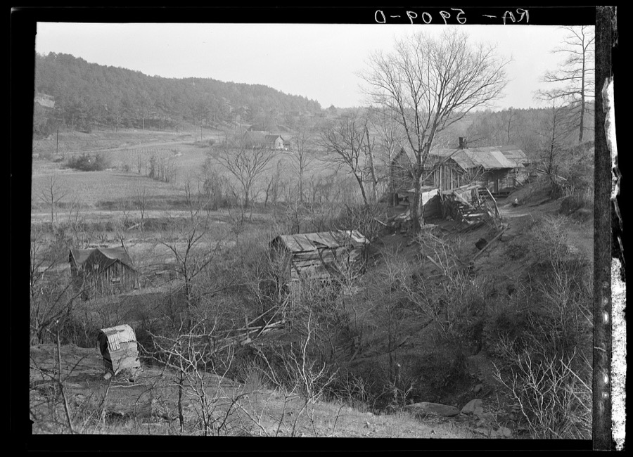
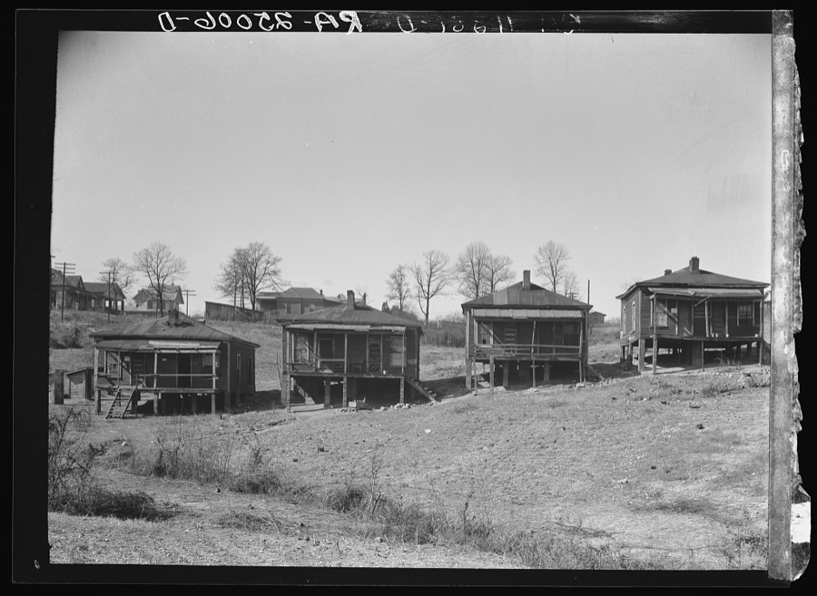
February 1971Tornado (F1)not stated3 killed, $25,000no account filed
July 2022Thunderstorm WindThomas Jct2 killed, 3 hurtHigh winds toppled a large tree onto a brick home. The tree killed two children and injured three adults inside the home.
January 2012Tornado (EF3)Ketona1 killed, 75 hurtThe tornado touched down in central Jefferson county and tracked northeastward for 15.69 miles, before lifting in western St. Clair county. It touched down along Pawnee Village Rd, about 3.25 miles northeast of Tarrant where several businesses sustained roof and wall damage. The tornado then tracked to the northeast, across Pinson Valley Parkway where several additional businesses were heavily damaged or destroyed. In the city of Center Point, the path width increased to 880 yds as the tornado strengthened to 120 mph. Center Point Elementary School sustained extreme damage, with one building destroyed and extensive damage to several other buildings. The destroyed building was valued at $13 million and the loss of contents inside at $5 million. The tornado continued northeast, crossing Center Point Parkway, causing damage to numerous businesses near 24th St. Minor roof damage, consistent with winds of 100 MPH, occurred to multiple businesses, gas stations, and a strip mall. The tornado crossed Sweeney Hollow Rd and Tyler Loop Rd, and moved through Paradise Valley subdivision, damaging or destroying approximately 200 homes. As the tornado crossed Old Springville Rd, it intensified to 150 MPH, causing extensive damage or destroying to two dozen homes in the George Brook subdivision. Of the homes destroyed, most, if not all, exterior and interior walls were collapsed. The tornado crossed the southern extent of Steeplechase subdivision, destroying two homes, where one fatality occurred, and causing minor to moderate roof damage to numerous other homes. Path width was approximately 600 yds wide at this point. The tornado continued northeast, causing minor to moderate damage to numerous homes in the Pilgrims Rest subdivision. The heaviest damage was along Plymouth Rock Dr., where approximately a dozen homes were destroyed. As the tornado approached the St. Clair county line, it weakened to an EF1 with winds of 105 MPH, and caused significant damage to at least two homes, with minor damage to several others along Skyline Way. In addition, numerous trees were knocked down. The tornado crossed into St. Clair County south of Will Keith Rd, one mile north of Interstate 59, Exit 148. In total, approximately 50 businesses received some degree of damage, 200 homes were heavily damaged or destroyed, and 200 homes received minor to moderate damage. Merchantable timber losses estimated by the Alabama Forestry Commission for this track are approximately $132K.
May 1973Tornado (F3)not stated1 killed, 44 hurt, $25,000,000no account filed
November 1957Tornado (F2)not stated1 killed, 35 hurt, $2,500,000no account filed
January 2021Tornado (EF3)Walker Chapel1 killed, 30 hurtNational Weather Service meteorologists surveyed damage in northern Jefferson County and determined that it was consistent with an EF3 tornado, with maximum winds near 150 mph. The tornado began along Chapel Hills Parkway, where minor shingle damage occurred. The tornado tracked northeastward across Ellard Road and directly over the Walker Chapel Road overpass on Interstate 65. It was at this interstate exit where the tornado began to intensify rapidly, snapping numerous power poles and causing substantial damage to a hotel. The tornado continued northeastward, crossing Highway 31, causing mostly tree damage along the highway. As the tornado moved into residential areas along Fulton Drive and Lykes Boulevard, substantial damage occurred with several homes being destroyed with at least one being swept off the foundation. There was also significant tree damage in the neighborhood. Several homes along Georgetown Lane suffered significant damage as wind breached garage doors, aiding in complete roof loss in some cases. Other damage included destroyed fences, sheds, and lofting of a hot tub. Numerous trees were uprooted or snapped.||As the tornado continued toward the northeast, it paralleled Carson Road and caused substantial damage to homes along Meida Circle, Darlene Drive, and New Castle Road. Buildings in an industrial area along Carson Road were damaged, including a fleet of vehicles at Hurst Towing. The damage along New Castle Road was widespread with a few trees debarked or snapped half way down the trunk, and debris from homes thrown considerable distances. The tornado began to weaken somewhat after crossing North Pine Hill Road, but still caused minor damage to the Fultondale High School and a wooded area to the east. As it continued eastward crossing Indian Valley Road, several trees were uprooted and a few homes received minor damage. Along Highway 79, dozens of mobile homes were damaged by falling trees in the Rusk Mobile Home Park. The tornado then crossed Highway 75 in Center Point, where trees and power lines were downed near the Jefferson County Multi-Services Facility. The tornado began to weaken further at this point, but still produced a narrow discernable track of EF0 damage just east of Center Point Lake, where trees were uprooted and minor roof and structural damage occurred. Nearing the end of its life cycle, the tornado turned northward before dissipating near Country View Court in the Arrowhead subdivision of Center Point.
February 1952Tornado (F3)not stated1 killed, 26 hurt, $250,000no account filed
May 1967Tornado (F3)not stated1 killed, 25 hurt, $2,500,000no account filed
February 2001Thunderstorm WindCountywide1 killed, 4 hurt, $400,000Jefferson County reported numerous trees and power lines down. One woman was killed in Ensley when a large tree smashed her car. One person was injured when a tree fell onto an automobile traveling down Mountain Brook Parkway. One person was injured when an 18-wheel truck was blown over on Interstate 65. Two people sustained minor injuries when a tree fell on a doctor's office building. Wind gust of 68 mph were reported at the Birmingham International Airport. Wind gusts of 99 mph were measured at the grandstand level of Legion Field. Wind gusts of 80 mph or more occurred on Red Mountain. Area officials estimated that a very large percentage of county roads were temporarily closed due to downed trees. Many more trees fell on automobiles, homes, and businesses causing major damage. Legion Field sustained damage to the large video screen used for replays at the professional football games. Two private aircraft at the Birmingham International Airport were damaged. The roof was torn off a portion of Riley Elementary School in southwest Birmingham. The storms also sheared roofs off buildings and broke several windows. Hail up to the size of golf balls was also reported with these storms.
September 2001Heavy RainPalmerdale1 killed, 1 hurt, $18,000Heavy rain weakened the root system of a large oak tree that toppled onto a passing truck killing a 15-year old male passenger and injuring the driver. Three to five inches of rain fell in the area, and the Sheriffs Department investigator believed that standing water surrouding the tree weakened the root system allowing the tree to fall.
March 2022Flash FloodBrownville1 killed, 1 hurtA cluster of slow moving thunderstorms developed over the Birmingham metro area and produced flash flooding. Numerous roads were impassible and vehicles were flooded in the downtown area and near the University of Alabama-Birmingham campus. Flash flooding was also reported in the city of Homewood along Shades Creek and Oxmoor Road. One injury and one fatality due to flooding. Radar estimated rainfall amounts were in the 2-4 inch range.
January 2012Tornado (EF2)Oak Grove1 killed, 1 hurtThis tornado initially touched down in northeast Tuscaloosa County, and traveled to the northeast, crossing into Jefferson County northeast of Groundhog Rd. As the tornado tracked toward, across, and then parallel to Lock 17 Rd, numerous trees were snapped or uprooted. The tornado continued northeastward crossing Camp Oliver Road and took a turn to the north at Blue Sky Rd. Tree damage continued as the tornado tracked parallel to Toadvine Rd and winds increased to a maximum of 130 MPH. Approximately 50 homes were damaged or destroyed along Toadvine Rd, including a manufactured home that was destroyed resulting in one fatality. Several more homes were damaged along Taylors Ferry Rd. The tornado lifted along Toadvine Road just southwest of Short Creek. Merchantable timber losses estimated by the Alabama Forestry Commission for this track are approximately $75K.
February 2008Tornado (EF1)Leeds1 killed, $1,000,000After investigating a very complex pattern of widespread damage with both a ground survey team and an aerial survey, surveys teams concluded that a portion of the damage in the city of Leeds was caused by a tornado. The tornado touched down east of Interstate 20 near Henry Ellen Rd, where trees falling on a mobile home caused one fatality to an elderly woman. The tornado tracked east-southeastward, roughly between the railroad tracks and US-78 towards the city center. There was significant roof damage to several buildings along Highway 78 from Leeds City Park in the downtown area, windows were blown out of several businesses, buildings were partially de-roofed, and the brick facade of one building was collapsed. The old rock wool warehouse facility received major irreparable damage. The most concentrated and significant material damage occured near Leeds High School. Fencing around the girls softball field was mangled and twisted, and a large batting catch was overturned and rolled. Tall wooden utility poles with field lighting were snapped half way up. Several homes just to the east of the athletic fields received significant damage. Over the path of this tornado, an estimated 30 to 40 homes and 20 to 30 businesses were damaged or destroyed. Several hundred trees were either snapped off or were uprooted along the path. Aside from the one fatality, no other injuries were reported.
May 2024Thunderstorm WindKimbrel1 killedA line of severe thunderstorms with winds estimated at 60-70 mph moved through southern portions of Jefferson County, with widespread tree and power line damage. Some trees landed on homes. Several trees were downed in the McCalla area, including Stage Coach Rd, Victoria Dr, and Crestview Dr, as well as in Bessemer, where a tree fell across power lines along Parkwood Rd. In Hoover, numerous trees were downed, including along Old Montgomery Hwy, Riverchase Pkwy, Atwillher Dr, Terrace Hills Dr, Hugh Daniels Dr, and Stone Briar Ln. Many trees were downed across Homewood and Mountain Brook as well, including along Montevallo Rd. One large tree fell into an apartment building in Mountain Brook, resulting in a fatality.
June 2021Flash FloodHopkins1 killedHeavy rainfall associated with Tropical Depression Claudette produced widespread flooding across Jefferson County during the evening hours on June 19th and the early morning hours on June 20th. Many roads in the Birmingham metro area were flooded and impassable and several water rescues were performed from flooded vehicles. Storm total rainfall amounts were in the 3-5 inch range. Village Creek in Birmingham recorded its 4th highest stage on record at 14.22 feet. One fatality occurred when a man was washed away in flood waters near Pebble Creek Parkway and Highway 78.
March 1963Tornado (F4)not stated35 hurt, $250,000no account filed
April 2011Tornado (EF2)Cahaba Hgts20 hurt, $18,000,000A tornado developed along a Quasi-Linear Convective System. It touched down in south central Jefferson County where it affected the Cahaba Heights and Liberty Park communities of the Birmingham Metro area. The tornado touched down near Gresham Elementary School. It knocked down several trees along Country Ridge Pl. The tornado moved northeast and crossed US Hwy 280, near Dolly Ridge Rd where it knocked down numerous trees and damaging buildings along the highway. The tornado strengthened as it moved into Cahaba Heights where it produced damage consistent with an EF2 rating and winds of 120 mph. The most significant area of damage occurred between US Hwy 280 and Cahaba Heights Rd, near Cahaba Heights Elementary School, where numerous homes sustained significant damage from fallen trees. The tornado weakened to an EF1 rating with winds of 100 mph as it continued northeast, but still knocked down trees which resulted in damage to homes and businesses. The tornado crossed Interstate 459 south of Liberty Park knocking down dozens of trees, and continued northeast causing minor tree damage. The tornado lifted near Grants Mill Rd, 2 miles south of Interstate 459. A person was killed (indirect) during clean-up efforts.
February 1990Tornado (F1)not stated15 hurt, $2,500,000no account filed
April 1953Tornado (F3)not stated12 hurt, $2,500no account filed
May 1959Tornado (F3)not stated5 hurt, $250,000no account filed
February 1999Thunderstorm WindGraysville5 hurt, $8,000Strong straight line wind downed several trees in the Graysville area including one pine tree that fell on a house on 10th Avenue Southwest. Five people including two children and three adults sustained injury when the tree came through the roof around 7:00 pm.
September 2000LightningGraysville5 hurtIn the Bagley Community, eight individuals took shelter under a tree that was subsequently struck by lightning. Five of the eight people were injured. Three of the victims were transported to area hospitals by ambulance.
February 1990Thunderstorm Windnot stated5 hurtno account filed
January 1975Tornado (F2)not stated4 hurt, $250,000no account filed
June 2017Tornado (EF1)Red Ore4 hurtNWS Meteorologists surveyed damage in western Jefferson County and found that the damage was consistent with an EF1 tornado, with maximum sustained winds near 110 mph. There were three separate notable increases in damage severity and/or density, likely indicating that the funnel had a skipping/cycling characteristic as it swayed from less to more intense.||The tornado touched down along 5th Street North, between Highway 11 and Avenue A, where damage ranged from broken large limbs to uprooted and snapped trees. The tornado then traveled northeast with a long swath of damage centered along a track generally between Interstate 20/59 and Highway 11. Aside from continued uprooting of trees and downing of limbs, the first notable damage occurred just west of Western Hills Mall, where there was hefty damage to an Express Oil Change, Alabama ABC store, and mini strip mall, along Dr. M.L.K. Boulevard. Damage at this location was likely the result of a short-lived, concentrated vortex, with a track around 300 yards in length and EF1 intensity. Beyond this point, damage fell into EF0 range.||The tornado continued knocking down trees as it moved northeast, with some trees falling onto homes, resulting in severe roof damage. Tornadic winds also caused minor to moderate roof damage ranging from missing shingles to sections of roof damaged or blown off, especially in neighborhoods adjacent to Miles College (to the south and northeast). Given a noticeable increase in damage density, it is possible that the tornado briefly intensified in this area, over the course of roughly a 700 yard path. While there was an obvious increase in the amount of uprooted trees, there was a large contribution from shallow root systems and especially saturated soil conditions; thus, given a lack of notable wind-driven damage to homes (which held in EF0, characteristic of shingle and roof trim damage), the overall damage pattern did not tip the scale for a small corridor of EF1 rating.||Next, the tornado neared and crossed Interstate 20/59 where the extent of damage backed off, though some minor structural damage done to the Tire Tech car bay, and Freeway Honda. Windows were also blown out of a few cars at the Honda dealership. An increase in the number of uprooted trees was again observed surrounding Tuxedo Park on the north side of Interstate 20/59, along with roof damage to a few homes. Tornado damage became very sporadic and increasingly less significant as the tornado neared Bankhead Highway, dissipating near the CSX Transportation railways adjacent to Pratt Highway.
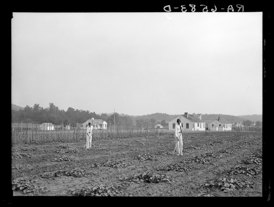
March 2016Tornado (EF2)Mc Calla4 hurtNational Weather Service meteorologists surveyed damage in Western Jefferson County just east of McCalla and south of Bessemer and determined that the damage was consistent with an EF-2 tornado. Maximum winds were estimated to be around 120-125 mph. The tornado touched down just east of McAdory High School on the west side of Overlook Circle with some damage to a roof. There were 12 homes and 1 church that suffered minor damage up to this point as the tornado proceeded east crossing Harper's Dairy Loop. From here it strengthened to an EF-2 as it crossed the Bent Brook neighborhood where it destroyed 6 homes and caused significant damage to 6 other homes. The pro shop at Bent Brook Golf Course also sustained minor damage along with a vehicle overturned. The tornado weakened to an EF-1 as it moved east of the golf course and caused minor damage to 2 more homes and destroyed a free standing garage. The tornado finally lifted just east of Morgan Road on Rice Circle. In total, 14 homes sustained minor damage, 6 sustained substantial damage, and 6 homes were destroyed. An additional 3 buildings sustained damage, along with several hundred trees snapped or uprooted along the path.
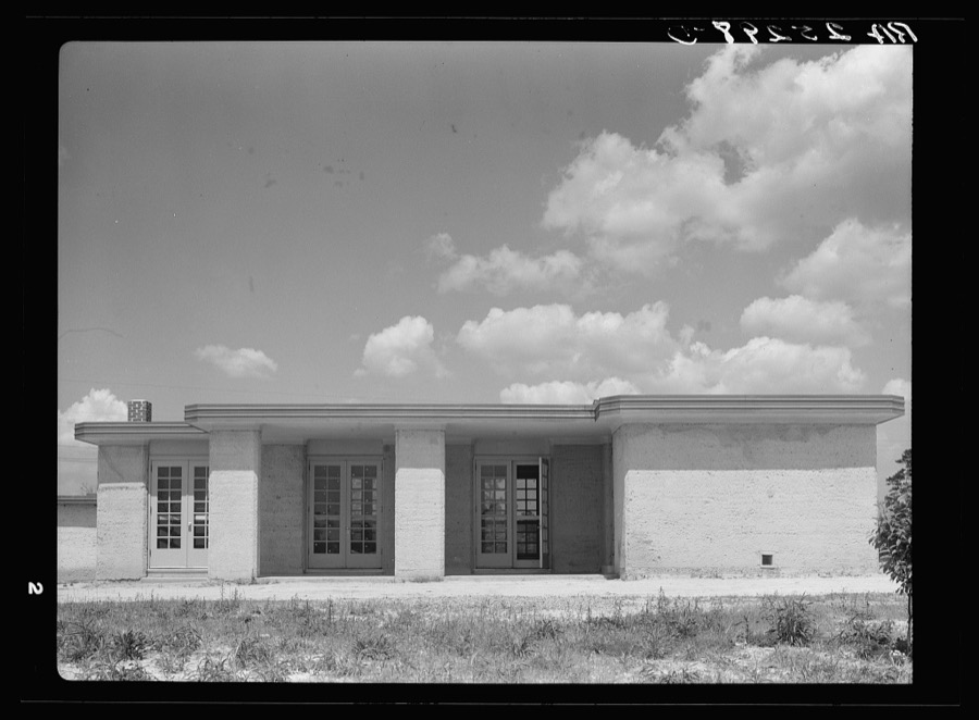
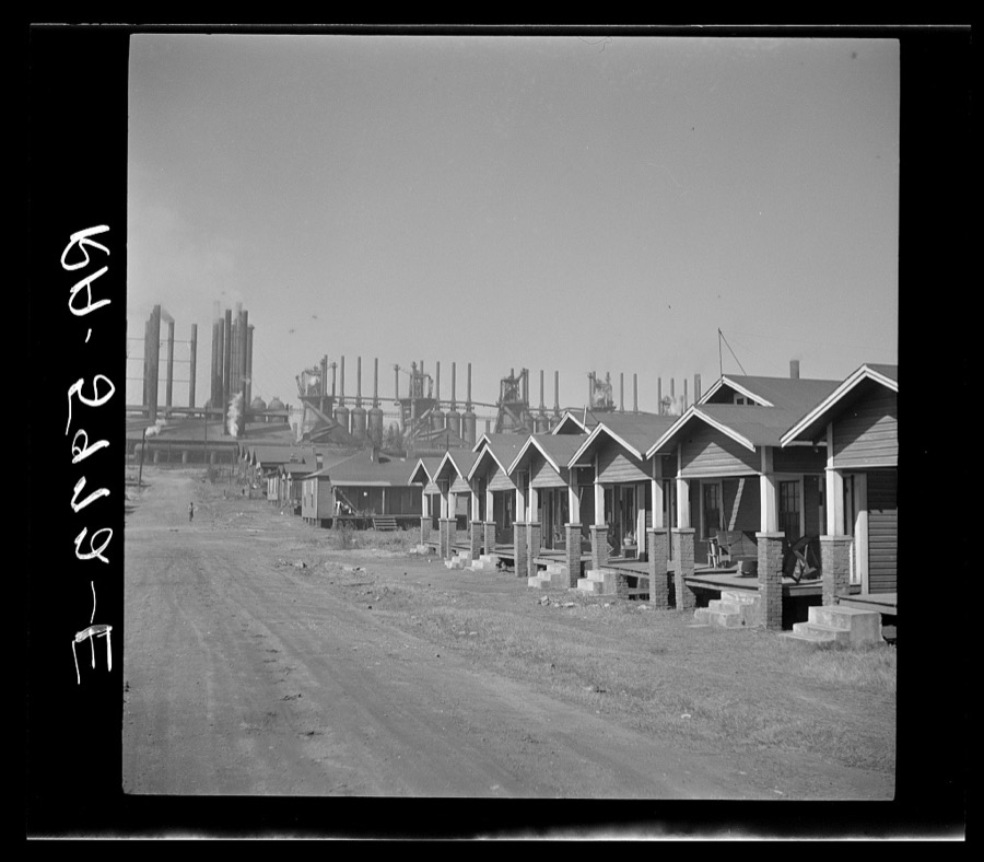
April 2014Tornado (EF1)Morris4 hurtThe tornado touched down near Interstate 65, about one-half mile south of Sardis Road. The tornado moved to the northeast and crossed Interstate 65, where it snapped and uprooted hundreds of trees along the path. As the tornado continued to the northeast, it strengthened to winds of 100 mph. The tornado moved into the city limits of Kimberly where several structures were damaged. A vacant large retail building had its roof removed. The most extensive damage occurred to the Kimberly Church of God where uplift of most of the roof structure resulted in exterior wall collapse. The tornado crossed Stouts Road where the Kimberly Fire Department sustained major damage.The tornado continued to snap dozens of trees as it moved northeast and several homes had shingle damage. As the tornado crossed Bradford Trafford Road, multiple trees were uprooted with one falling on a home causing major roof damage. The tornado continued northward into Blount County.
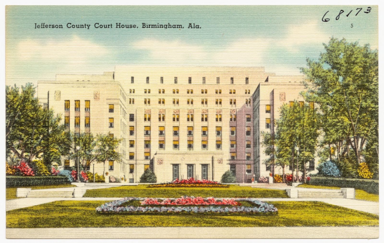
May 1995Thunderstorm WindBirmingham3 hurt, $500,000Much of Jefferson County was affected by a strong thunderstorm with wind gusts to hurricane force and large hail. Dime and nickel-size hail was reported in Gardendale. Trees were downed in scattered areas especially across the northern two-thirds of Jefferson County. Trees were uprooted in Bluff Park, a tree fell on a car near downtown Birmingham in the University of Alabama at Birmingham area, and numerous trees were down in the Roebuck area of northeast Birmingham. All of the Birmingham television stations on Red Mountain were knocked off the air by the high wind and the large WBRC sign at Channel 6 was destroyed. The buildings at Channel 6 and 13 suffered minor damage. Most of the radio stations located along Red Mountain were also off the air for a period of time. More than 99,000 electric customers were without power after the storm. A security guard was injured when he was struck in the knee with a piece of flying metal. A woman had to have the tip of her finger amputated when the wind slammed a car door on her finger. A woman was injured at the Birmingham Zoo when a tree limb fell on her arm. Wind at the Birmingham Airport was measured from the northwest at 71 miles an hour at 1312 CST.
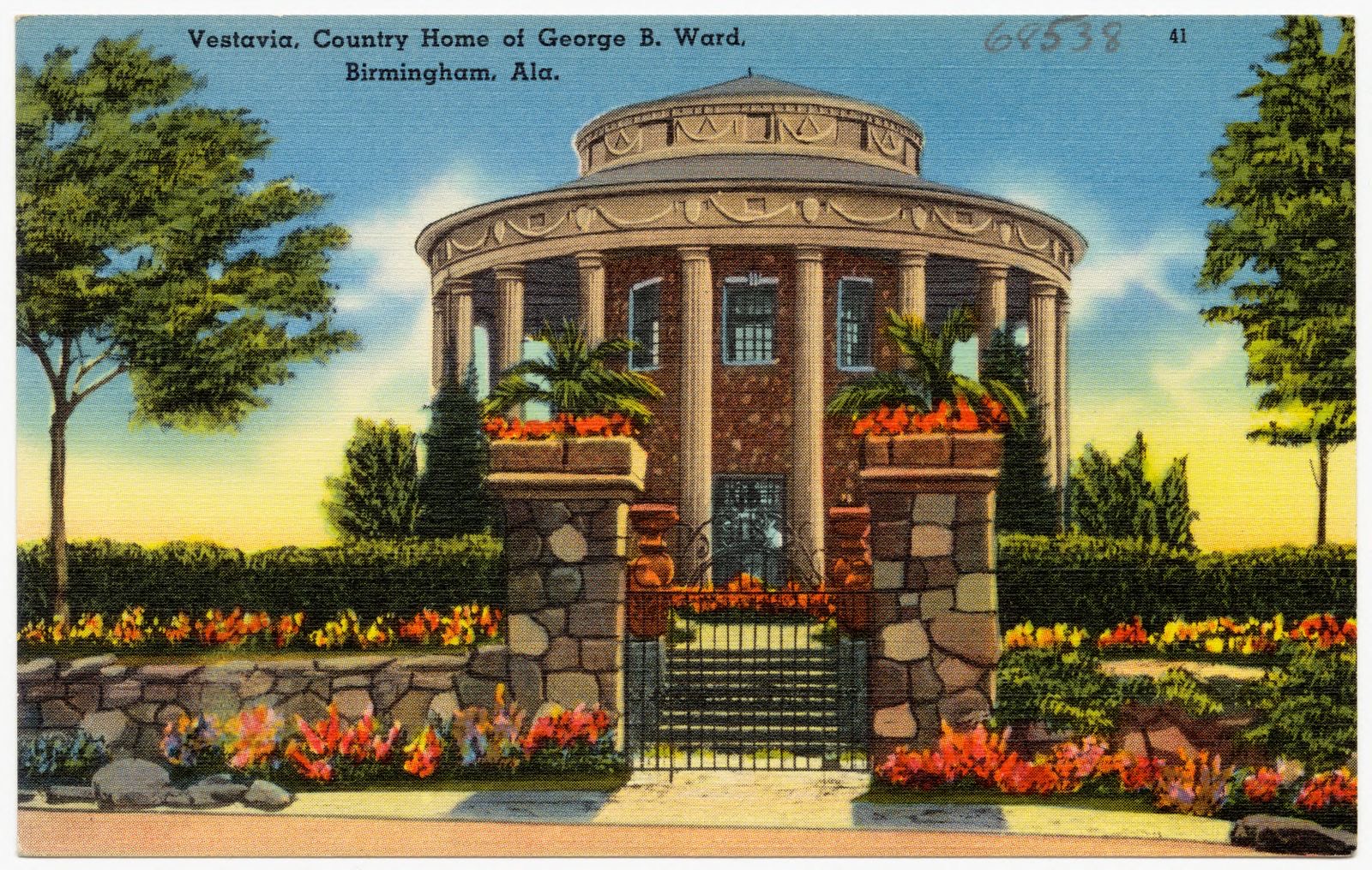
May 1973Tornado (F2)not stated3 hurt, $250,000no account filed
June 2010Flash FloodAyres3 hurt, $50,000Several locations northeast of the city of Birmingham experienced significant flash flooding. Several roads in and around the cities of Pinson, Center Point, and Trussville, became temporarily impassible due to flood waters. Three people suffered bumps and bruises after they were swept away on the Cahaba River and had to be rescued by a swift water team.
April 2014Tornado (EF2)Mulga Mine3 hurtThe tornado touched down near Oak Leaf Circle and traveled to the northeast where it snapped and uprooted dozens of trees along its path. The tornado intensified as it neared Cruce Road just south of Graysville, with winds of 105 mph. Here, approximately four manufactured homes sustained major damage with one being completely destroyed after it rolled several times. The tornado continued on its northeast path and snapped and uprooted hundreds of trees. As it crossed Adamsville Parkway, just south of Graysville, the tornado strengthened with winds of 125 mph. In this area, two brick homes sustained damage from partial exterior wall collapse. Several other homes sustained roof damage and a manufactured home sustained damage. Additionally, hundreds of trees were downed. The tornado took a slight right turn and crossed Interstate 22 near Cherry Avenue before it lifted along Brookside Cardiff Road near McCay Road.
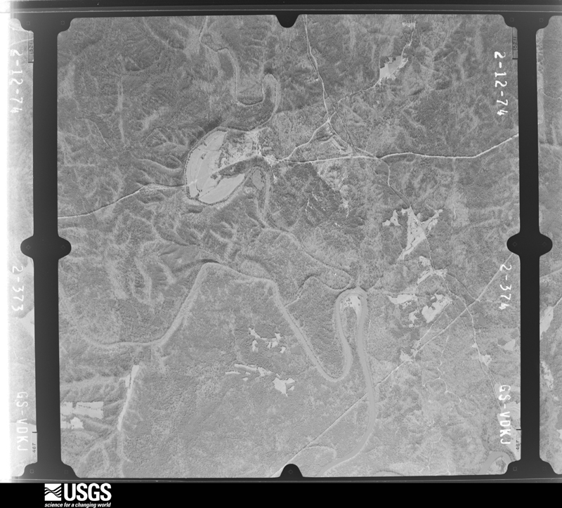
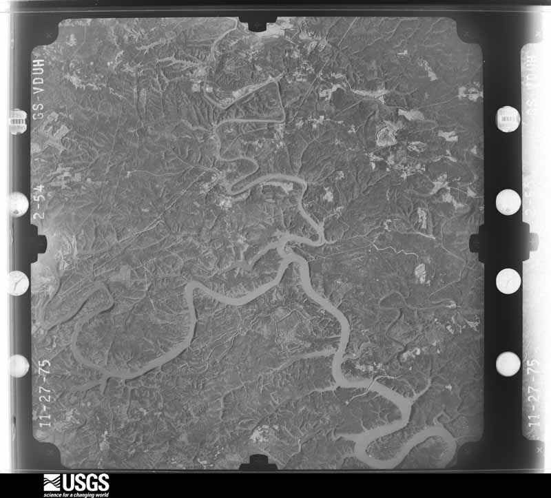
May 1991Thunderstorm Windnot stated3 hurtno account filed
February 1990Tornado (F1)not stated2 hurt, $2,500,000no account filed
April 1994Thunderstorm WindCenterpoint2 hurt, $50,000Two people were injured at the Centerpoint ball park when thunderstorm winds damaged the bleachers and press box.
May 1984Tornado (F1)not stated2 hurt, $25,000no account filed
March 1971Tornado (F2)not stated2 hurt, $25,000no account filed
March 1966Tornado (F1)not stated2 hurt, $25,000no account filed
October 2010LightningCenter Pt2 hurtTwo children were rendered unconscious after being in close proximity to a lightning strike. The boys were transported to the hospital with no apparent lingering injuries.
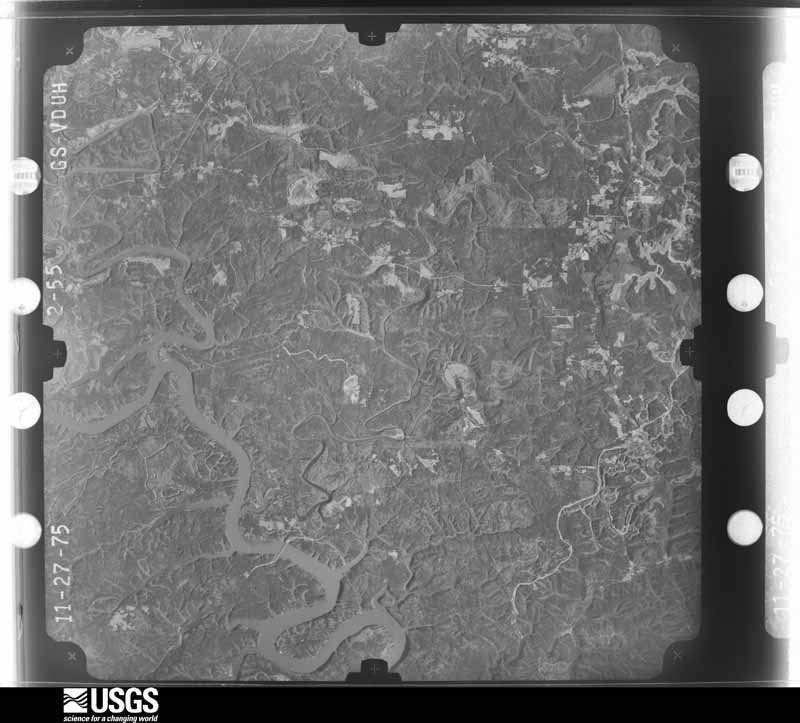
March 1986Thunderstorm Windnot stated2 hurtno account filed
April 2006Tornado (F1)Gardendale1 hurt, $500,000The tornado touched down near the intersection of US Highway 31 and Main Street. It knocked a few trees down west of US Highway 31, then traveled southeastward and affected the business district along US Highway 31. A few dozen businesses were heavily damaged. The damage included significant roof damage, broken windows, large bay doors blown out, air conditioning unit damage and sign damage. Three vary large air conditioning units were blown off the roof of a K-Mart. These units were estimated at 5 to 8 thousand pounds each. A church along US Highway 31 suffered roof damage. Dozens of homes were damaged and numerous trees were blown down east of US Highway 31 in the vicinity of Tarrant Road and Peterson Road. One woman was injured when a tree fell through the roof of her home. South of Tarrant Road, the tornado mainly produced tree damage. The tornado lifted near Lumen Park and Taihaiti Lane.
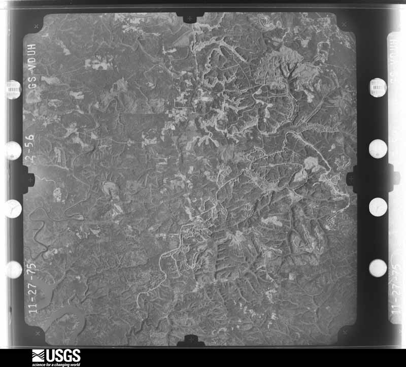
February 2000Thunderstorm WindLipscomb1 hurt, $300,000Numerous trees and power lines were blown down in Lipscomb. Sixteen homes were damaged by the trees and 2 were almost totally destroyed. One woman suffered minor injuries when the ceiling rafters fell onto her bed.
June 1982Tornado (F1)not stated1 hurt, $250,000no account filed
May 1979Tornado (F1)not stated1 hurt, $250,000no account filed
January 1976Tornado (F2)not stated1 hurt, $250,000no account filed
November 2001Tornado (F2)Argo1 hurt, $200,000no account filed
April 2006Thunderstorm WindHueytown1 hurt, $50,000A tree fell onto a house, injuring one person.
March 2006Thunderstorm WindBessemer1 hurt, $20,000Several trees were blown down and one home was damaged in Bessemer. One injury resulted from a tree that fell onto a house on Dicky Springs Road.
June 2008Thunderstorm WindFultondale1 hurt, $5,000A tree was blown down onto a vehicle, injuring one woman.
June 2000LightningHomewood1 hurt, $1,000A woman with a telephone headset on her head was affected by lightning. The lightning apparently ran through the telephone lines and into the building. She was taken to the hospital and released with only very minor injuries.
June 2025Thunderstorm WindIrondale1 hurtMultiple trees were downed around Irondale, with some falling on homes. One tree fell on a home along Redwood St, resulting in an injury.
June 2025Flash FloodMagella1 hurtFlooding was reported in parts of Homewood, Irondale, and Trussville. Highway 31 was flooded just south of Highway 280, along with 16th St and 1st Ave in Irondale. In Trussville, an individual was caught in floodwaters and swept through a culvert under Highway 11 near the entrance of the Stockton neighborhood, resulting in minor injuries.
March 2021Tornado (EF0)Mt Olive1 hurtNational Weather Service meteorologists surveyed damage in northern Jefferson County and determined that it was consistent with an EF0 tornado, with maximum winds near 85 mph. A tornado touched down near Sutherland Road on the west side of Interstate 65 and tracked northeast crossing Interstate 65 and Highway 31. Damage consisted of downed trees with relatively minor structural damage. However, there were several instances of significant residential and vehicle damage from fallen trees. One person was taken to the hospital with non-life-threatening injuries.
June 2018Thunderstorm WindMountain Brook1 hurtSeveral trees uprooted along Cliff Road in the city limits of Birmingham. One large tree fell on a home, producing significant damage to the home and minor injuries to one occupant.
March 2017Thunderstorm WindWoodlawn Jct1 hurtSeveral trees uprooted in the Avondale Community. One tree fell on a car with one injury.
July 2017LightningOverton1 hurtA young male approximately 10-12 years old was struck by lightning while fishing at Lunkner Public Lake. He was transported to a local hospital and was said to be in stable condition.
July 2016Thunderstorm WindWest End1 hurtLarge tree down on home at 1841 St. Charles Avenue SW. One injury reported.

Mines and quarries

170 recorded

The Survey's mineral resources record lists 170 workings inside this county. 21 still produce and 149 are closed or unrecorded. Each settlement page carries the workings within five miles of it.

Commodity Workings
Iron139
Clay9
Stone, Crushed/Broken7
Aluminum2
Barium-Barite2
Sand and Gravel, Construction2
Vermiculite2
Stone2
Bloating Material1
Iron, Manganese1
Perlite1
Clay, Stone, Crushed/Broken1
Manganese1
Fire Clay (Refractory)1

The least common of them first, because a county's hundredth gravel pit says nothing its first ten did not.

Where SiteCommodity StatusRecorded
Leeds Mine & QuarryClay, Stone, Crushed/BrokenProducer
Mine No. 53Fire Clay (Refractory)Producer
Mt Pinson MinesIron, ManganesePast ProducerGoethite
ParkwoodBloating MaterialProducerSedimentary
R C Coleman ProspectIron, ManganeseOccurrence
W. R. Grace Irondale PlantPerlitePast Producer
Alpha Portland Cement Company PlantStonePlant
Birmingham PlantVermiculitePast Producer
Irondale PlantVermiculitePast Producer
J M Dorough MineBarium-BaritePast Producer
J.M. DoroughBarium-BaritePast ProducerResidual
Leeds Cement PlantStonePlant
U.S. Steel Corp. PitSand and Gravel, ConstructionProducer
Wade Sand & Gravel Co. PitSand and Gravel, ConstructionProducer
Waste Pond - Bessie MineAluminumOccurrenceIllite, Kaolinite
Waste Pond - Flat Top MineAluminumOccurrenceIllite, Kaolinite
Birmingham QuarryStone, Crushed/BrokenProducer
Citadel Cement OperationStone, Crushed/BrokenPast Producer
Dolcito QuarryStone, Crushed/BrokenProducer
Dolonah QuarryStone, Crushed/BrokenProducer
East Thomas Quarry & PlantStone, Crushed/BrokenProducer
Industrial Sand Co. QuarryStone, Crushed/BrokenPast Producer
Trussville PitStone, Crushed/BrokenPast Producer
Bessemer MineClayProducer
Bessemer PitClayProducer
Jef 1 Clay ProspectClayProspect
Jef 2 Clay ProspectClayProspect
Jef 3 Clay ProspectClayProspect
Jef 6 Clay ProspectClayProspect
Parkwood MineClayProducer
Shannon PitClayProducer
Watkins Number 1 PitClayProducer
Alfretta MinesIronPast Producer1903
Alfretta No 1 MineIronPast Producer
Alfretta No. 2 MineIronPast Producer
Alfretta No. 3 MineIronUnknown
Alfretta No. 4 MineIronPast Producer
Alfretta No. 5 MineIronPast Producer
Bald Eagle MineIronPast Producer
Birmingham Red Ore Dist.IronProducer
Birmingham Red Ore Mines DistrictIronPast Producer1864, 1972
Blount Mountain AreaIronUnknown
D P Anderson ProspectIronOccurrence
Green Spring MineIronPast Producer
Hammond MineIronPast Producer
Hammond, Dago, Hendona, and Valleyview MinesIronPast ProducerHematite
Helen Bess MineIronPast Producer
Irondale MineIronPast Producer
Ishkooda MinesIronPast Producer1863, 1969
J O Norris ProspectIronOccurrence
Kewanaw MineIronPast Producer
Leeds Brown Fe MinesIronPast ProducerResidual
Leeds Brown Iron Ore MinesIronPast ProducerGoethite
Mt. Pinson MinesIronPast ProducerResidual
No NameIronPast ProducerHematite
O A Griffin ProspectIronOccurrence
Potter MineIronPast Producer
Potter No. 1 MineIronPast Producer
Pyne MineIronPast ProducerHematite
Pyne MineIronPast Producer
Raimund MineIronPast ProducerHematite
Raimund No. 1 MineIronPast Producer
Red Ridge Area, Birmingham DistriIronPast Producer
Republic Steel/ Birmingham, Ala.IronPlant
Ruffner MineIronPast Producer1887, 1955
Ruffner MineIronPast Producer
Shannon MineIronPast Producer
Sloss MinesIronPast ProducerHematite
Sloss No. 1 MineIronPast Producer
Sloss No. 2 MineIronPast Producer
So. Electric Steel/Birmingham, Ala.IronPlant
Songo MineIronPast Producer
Spaulding MineIronPast Producer1886
Spaulding MineIronPast Producer
T No. 1 MineIronPast Producer
T No. 10 MineIronPast Producer
T No. 11 MineIronPast Producer
T No. 12 MineIronPast Producer
T No. 13 MineIronPast Producer
T No. 14 MineIronPast Producer
T No. 15 MineIronPast Producer
T No. 2 MineIronPast Producer
T No. 3 MineIronPast Producer
T No. 4 MineIronPast Producer
T No. 5 MineIronPast Producer
T No. 6 MineIronPast Producer
T No. 7 MineIronPast Producer
T No. 8 MineIronPast Producer
T No. 9 MineIronPast Producer
TarrantIronUnknown
U S Steel/ Birmingham, Ala.IronPlant
U S Steel/ Fairfield, Ala.IronPlant
UnnamedIronUnknown
UnnamedIronUnknown
UnnamedIronUnknown
UnnamedIronUnknown
UnnamedIronUnknown
UnnamedIronUnknown
UnnamedIronUnknown
UnnamedIronUnknown
UnnamedIronUnknown
UnnamedIronUnknown
UnnamedIronUnknown
UnnamedIronUnknown
Unnamed MineIronPast Producer
Unnamed ProspectIronOccurrence
Unnamed ProspectIronProspect
Unnamed ProspectIronOccurrence
Valley View MineIronPast Producer
W No. 1 MineIronPast Producer
W No. 2 MineIronPast Producer
W No. 3 MineIronPast Producer
Wenonah MinesIronPast Producer1880
Woodward MinesIronPast ProducerHematite

Every populated place in the county

670

Named settlements recorded in the Geographic Names Information System, each with the topographic sheets covering it. Villages, hamlets and abandoned places alike. Each is shown with the nearest named watercourse or landform and the survey quadrangle it falls on. The 3 places that were also surveyed for fire insurance come first, with the number of atlases and photographs held for them.

The vanished settlements of Jefferson County: the places named above that are no longer on the map.

Recorded here

Birmingham, Alabama

30 topographic sheets and 26 fire insurance atlases, 1885 to 1951

Bessemer, Alabama

24 topographic sheets and 10 fire insurance atlases, 1888 to 1950

Leeds, Alabama

27 topographic sheets and 2 fire insurance atlases, 1930

Everything this county holds

208 records

Each is a separate federal document with its own page: a survey report, or the case file that argued a property on to the National Register. Both are public domain and reproduced word for word. There are too many to list here without burying the rest of this page.

The complete index for Jefferson County, and the vanished settlements.
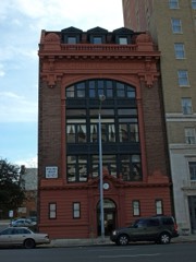
Provenance

  • Topographic sheets. USGS Historical Topographic Map Collection, county index, measured from the bulk metadata.
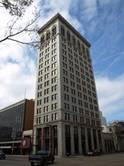
  • Fire insurance maps. Library of Congress Sanborn collection, faceted to this county.
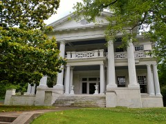
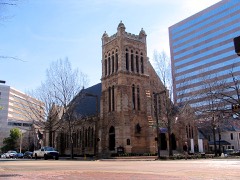
  • Photographs. Each place queried individually against the Library of Congress Prints and Photographs search.
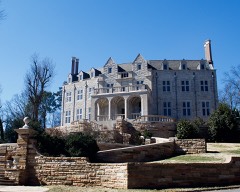
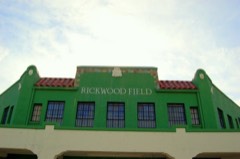
  • Wildfire. Short, Karen C. 2022. Spatial wildfire occurrence data for the United States, 1992-2020 [FPA_FOD_20221014]. 6th Edition. Fort Collins, CO: Forest Service Research Data Archive. https://doi.org/10.2737/RDS-2013-0009.6 Collected with United States Government funding and usable without additional permissions or fees.
  • Mines and quarries. USGS Mineral Resources Data System (MRDS) https://mrdata.usgs.gov/mrds/ A work of the United States government, no copyright under 17 U.S.C. 105.
  • Storms. NOAA National Centers for Environmental Information, Storm Events Database https://www.ncei.noaa.gov/stormevents/ A work of the United States government, no copyright under 17 U.S.C. 105. Narratives are quoted verbatim from the National Weather Service report and are not edited or summarised.