 Block
Bell Factory, Alabama
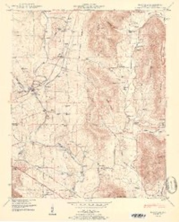
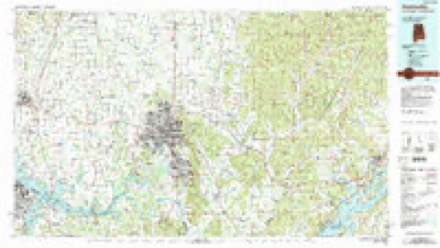
24 topographic sheets cover this place, the earliest surveyed in 1888 and the latest in 1984. It stands in the New Market census division. It lies in ZIP code area 35811. It stands on Brier Fork Flint River. The Survey maps it on the Maysville quadrangle.
Topographic sheets covering this place
10 surveys from 24 printed sheetsMatched by testing this settlement's coordinate against the published boundary of every sheet in the United States Geological Survey's historical collection. Each opens the scanned sheet at the Survey.
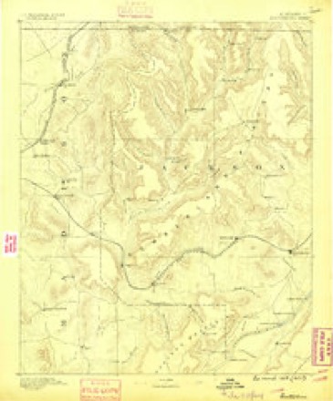
- 1888 USGS Scottsboro quadrangle1:125000
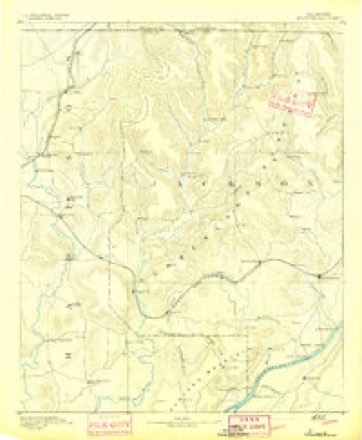
- 1892 USGS Scottsboro quadrangle1:125000, 5 printings
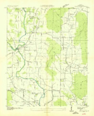
- 1936 USGS Maysville quadrangle1:24000
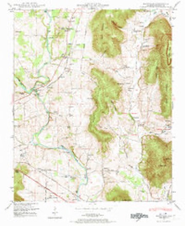
- 1948 USGS Maysville quadrangle1:24000, 5 printings
- 1951 USGS Maysville quadrangle1:24000, 2 printings
- 1956 USGS Gadsden quadrangle1:250000, 3 printings
- 1958 USGS Gadsden quadrangle1:250000
- 1960 USGS Gadsden quadrangle1:250000, 2 printings
- 1963 USGS Gadsden quadrangle1:250000
- 1984 USGS Huntsville quadrangle1:100000, 3 printings




Fires near this place
61 since 1997Regional context, not property-specific evidence. The federal wildfire occurrence database lists 61 fires within 5 miles of Bell Factory between 1997 and 2019, burning about 99 acres in total. None started naturally. 12 were recorded as arson. Distance is straight-line from the map coordinates, so a fire counted here may appear on a neighbouring settlement's page as well.
| Reported cause | Fires |
|---|---|
| Debris and open burning | 33 |
| Arson/incendiarism | 12 |
| Missing data/not specified/undetermined | 8 |
| Misuse of fire by a minor | 3 |
| Equipment and vehicle use | 2 |
| Smoking | 2 |
| Recreation and ceremony | 1 |
The most recent of them, most recent first, with the day each was reported and the service that recorded it.
| Date | Cause | Size | Reported by | Name on the report |
|---|---|---|---|---|
| 8 September 1999 | Misuse of fire by a minor | under an acre | Alabama Forestry Commission | not named |
| 7 September 2001 | Arson/incendiarism | under an acre | Alabama Forestry Commission | not named |
| 27 September 2001 | Debris and open burning | under an acre | Alabama Forestry Commission | not named |
| 25 September 2006 | Debris and open burning | 1.0 acres | Alabama Forestry Commission | not named |
| 22 September 2019 | Arson/incendiarism | 4.0 acres | Alabama Forestry Commission | 20190922-20 |
| 20 September 2000 | Misuse of fire by a minor | under an acre | Alabama Forestry Commission | not named |
| 19 September 1999 | Equipment and vehicle use | 1.0 acres | Alabama Forestry Commission | not named |
| 17 September 1999 | Debris and open burning | under an acre | Alabama Forestry Commission | not named |
Settlements close enough to share some of these fires:
Storms near this place
40 since 2008Regional context, not property-specific evidence. The National Weather Service names Bell Factory in 40 storm reports between 2008 and 2025: 23 thunderstorm wind, 10 hail, 3 lightning, 2 flash flood. The reports record 1 death. Each account below is quoted exactly as the forecast office filed it, from the NOAA Storm Events Database, and each date opens the federal record of that event.
| When | Event | Place named | Harm | What the report says |
|---|---|---|---|---|
| July 2012 | Lightning | Bell Factory | 1 killed | A 40 year old male was struck by lightning in the driveway of his residence near the intersection of Bell Factory Road and Red Rock Drive. The person was transported to the hospital and died five days later on the 20th. Exact time of the lightning strike is unknown. |
| April 2025 | Lightning | Bell Factory | $100,000 | Lightning struck a tree which fell over and sparked a house on fire on Maysville Road in New Market. The fire destroyed the home and all belongings. The homeowner, an 84 year old female, suffered a heart attack following the fire but recovered. The NCEI Severe Weather Data Inventory was used to corroborate the location and time of the lightning strike. |
| July 2010 | Lightning | Bell Factory | $50,000 | Madison county's deputy fire marshall attributed a huge fire at a residence on River Laurel Way to lightning activity. |
| August 2023 | Thunderstorm Wind | Bell Factory | $8,000 | Several trees were reported down and uprooted near Winchester Road NE and the Flint River. |
| June 2011 | Thunderstorm Wind | Bell Factory | $8,000 | Trees were blown down on Streakley road. |
| June 2011 | Thunderstorm Wind | Bell Factory | $8,000 | Trees were blown down on Bell Factory Road. |
| December 2024 | Thunderstorm Wind | Bell Factory | $5,000 | Multiple trees were knocked down on Bell Factory Road. |
| June 2008 | Thunderstorm Wind | Bell Factory | $3,000 | A severe thunderstorm produced 70 mph winds, which were reported at the intersection of Maysville and Bell Factory Road in northeast Huntsville. Multiple trees were blown down in this area. |
| April 2025 | Thunderstorm Wind | Bell Factory | $2,000 | Power lines were knocked down on the roadway at 11172 Riverton Road. |
| April 2025 | Thunderstorm Wind | Bell Factory | $2,000 | Power lines were knocked down at 889 Naugher Road. |
| April 2025 | Thunderstorm Wind | Bell Factory | $2,000 | Power lines were knocked down across the roadway at Sawmill Road at Case Road. |
| April 2025 | Thunderstorm Wind | Bell Factory | $2,000 | Power lines were knocked down at 2615 Winchester Road. |
| April 2025 | Thunderstorm Wind | Bell Factory | $1,000 | A one foot diameter tree limb was blown down onto the road near the intersection of Homer Nance Road and Clearvue Roads. |
| March 2022 | Thunderstorm Wind | Bell Factory | $1,000 | A tree was down onto the south bound lanes of Homestead Road at Plainview Circle. |
| March 2021 | Thunderstorm Wind | Bell Factory | $1,000 | A fence was damaged in the Mt. Carmel community. Time estimated by radar. |
| May 2020 | Thunderstorm Wind | Bell Factory | $500 | A tree was knocked down onto a fence in the Bellglade subdivision. Report was relayed via social media. |
| June 2018 | Thunderstorm Wind | Bell Factory | $500 | A tree was knocked down onto a power line at Southern Oaks at Linda in Moores Mill. |
| June 2018 | Thunderstorm Wind | Bell Factory | $500 | A tree was knocked down onto a house at the intersection of Winchester and Shields Road. |
| May 2017 | Thunderstorm Wind | Bell Factory | $200 | A tree was knocked down onto power lines. |
| May 2017 | Thunderstorm Wind | Bell Factory | $200 | Tree limbs were knocked down along Homer Nance Road. |
| May 2017 | Thunderstorm Wind | Bell Factory | $200 | A tree was knocked down onto power lines. |
| April 2021 | Hail | Bell Factory | - | Hail up to 0.75 inches in diameter was reported via mPING. |
| May 2020 | Thunderstorm Wind | Bell Factory | - | Trees were knocked down. Time estimated by radar. |
| March 2019 | Hail | Bell Factory | - | Hail up to the size of nickels accumulated southeast of Moores Mill. |
| May 2017 | Thunderstorm Wind | Bell Factory | - | Wind gusts estimated between 60 to 65 MPH from thunderstorms. |
| May 2017 | Thunderstorm Wind | Bell Factory | - | Thunderstorm wind produced damage at Riverton Intermediate School. A roof was blown off of a softball dugout along with around 20 masonry rocks. Metal fascia of around 200 feet was torn off at two locations at the school. |
| June 2016 | Hail | Bell Factory | - | Quarter sized hail was reported. |
| June 2016 | Hail | Bell Factory | - | Half dollar sized hail was reported in the Mount Carmel area. |
| June 2016 | Hail | Bell Factory | - | Nickel to quarter sized hail was reported on Sugar Plum Road. |
| February 2011 | Thunderstorm Wind | Bell Factory | - | Several roof shingles were torn off by thunderstorm winds. |
| March 2011 | Flash Flood | Bell Factory | - | Flash flooding was occurring at the intersection of Homer Nance Road near Jordan Road. |
| June 2011 | Hail | Bell Factory | - | Quarter size hail was reported. |
| April 2009 | Hail | Bell Factory | - | Hail up to golf ball size hail was reported. |
| April 2009 | Hail | Bell Factory | - | Golf ball size hail was reported 3 miles south of the Buckhorn community. |
| May 2009 | Funnel Cloud | Bell Factory | - | A funnel cloud was reported at Bell Factory Road in the Maysville area. |
| February 2008 | Thunderstorm Wind | Bell Factory | - | Trees were blown down in the Mount Carmel community along Naugher Road. |
| June 2008 | Flash Flood | Bell Factory | - | Several severe thunderstorms during the afternoon hours caused flash flooding along the Barry Springs Creek at the intersection of Maysville Road and Bell Factory Road in northeast Huntsville. Ten inches of water was reported over the road in this location. |
| June 2008 | Heavy Rain | Bell Factory | - | A CoCoRaHS Observer reported rainfall of 1.88 inches in 30 minutes. |
| June 2008 | Hail | Bell Factory | - | A severe thunderstorm produced penny size hail, which was reported to last 4 minutes by a CoCoRaHS observer. |
| August 2008 | Hail | Bell Factory | - | Penny size hail was reported at the intersection of Maysville road and Bell Factory road. |
Nearest settlements
The eight closest, with where each one stands in the county. Distances are straight-line, computed from the Geographic Names Information System coordinates.
| Map | Place | Distance | Sheets |
|---|---|---|---|
| Three Forks | 0.4 miles | 24 | |
| McCaleb Mill | 0.6 miles | 24 | |
| The Woodlands | 1.7 miles | 24 | |
| Blue Spring Garden | 1.9 miles | 24 | |
| Mount Carmel | 2.1 miles | 24 | |
| Deposit | 2.1 miles | 24 | |
| Pleasant Acres | 2.6 miles | 24 | |
| Moores Mill | 2.7 miles | 24 |
Elsewhere
Matched on this settlement's Geographic Names Information System number rather than its name, so it cannot be a different place of the same name in another state.
| Wikidata item Q122599041 | The structured record the population and elevation above come from. Public domain (CC0). |
Provenance
This settlement is recorded in the Geographic Names Information System as feature 113859. The sheet list is computed by point-in-boundary test against the United States Geological Survey's historical topographic inventory. Both are works of the United States government and carry no copyright under 17 U.S.C. 105.
Wildfire. Short, Karen C. 2022. Spatial wildfire occurrence data for the United States, 1992-2020 [FPA_FOD_20221014]. 6th Edition. Fort Collins, CO: Forest Service Research Data Archive. https://doi.org/10.2737/RDS-2013-0009.6 Collected with United States Government funding and usable without additional permissions or fees.
Storms. NOAA National Centers for Environmental Information, Storm Events Database https://www.ncei.noaa.gov/stormevents/ A work of the United States government, no copyright under 17 U.S.C. 105. Narratives are quoted verbatim from the National Weather Service report and are not edited or summarised.