BlockBefore

Madison County, Alabama

137 topographic sheets and 15 fire insurance atlases across 2 places.

Research this county

From the record

97 National Register listings published here, 6 of them National Historic Landmarks · the county-history sources tell 1 story.

Sources: the county history on the Internet Archive · the National Register database, National Park Service

Alabama within the United States
Madison County within Alabama
Explore by year 1871 1900

What the record shows

  • 2 places in this county were surveyed for fire insurance: Huntsville, Gurley, between 1884 and 1949.
  • 15 fire insurance atlases survive for the county. Topographic coverage is national; fire insurance survey reached only incorporated places with something worth insuring.
  • 5,560 topographic sheet readings cover the county's settlements.
  • 97 properties here are on the National Register of Historic Places: 72 buildings, 17 districts, 5 structures and 3 sites.
  • 17 of the 97 listings were added during the 1970s.
  • The Geographic Names Information System records 235 populated places in this county; 233 are covered by at least one topographic sheet.

What happened here

1 accounts

Among them: Conditions Resulting From Federal Raid In 1862. These passages come from the identified county-history source books. Each inset names its own source and opens the exact section it comes from.

From Early History of Huntsville, Alabama, 1804-1870, published 1916 - Huntsville

Conditions Resulting From Federal Raid In 1862

Huntsville did not fall into the hands of the Federals until April 11, 1862, when General O. M. Mitchell raided North Alabama.'' Probably the greatest destruction and loss of property, throughout all Alabama during the war was effected when the Federals took possession of Huntsville. Here they captured and confiscated practically all the rolling stock of the Memphis and Charleston Railroad, which had been collected
Read the rest of this passage

Photographs

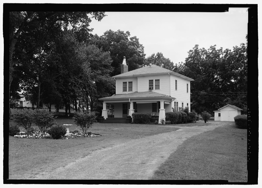
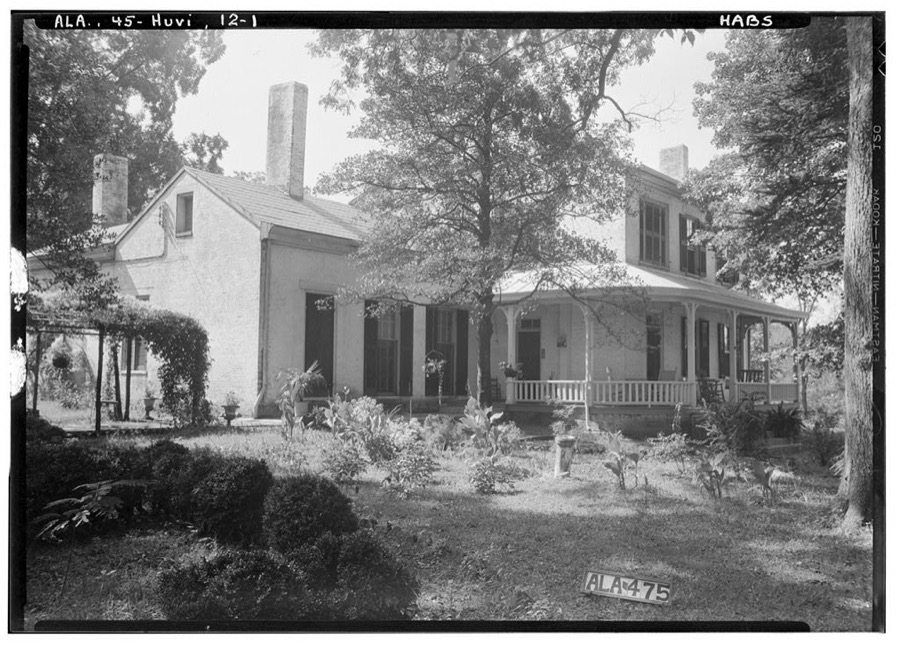
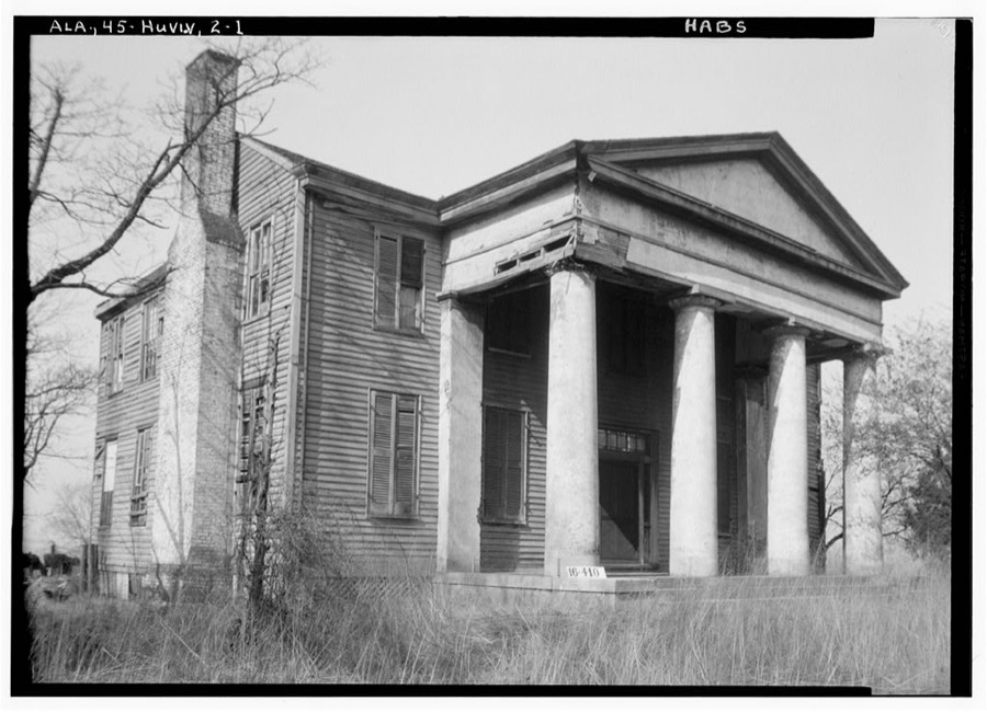
42 photographs, 1939 to 1941

Taken for the Office of War Information and the Farm Security Administration, who photographed the country between 1935 and 1944. Works of United States government photographers, with no known restriction on use. Each opens its catalogue record.

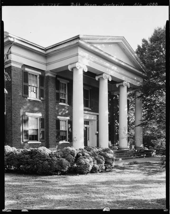
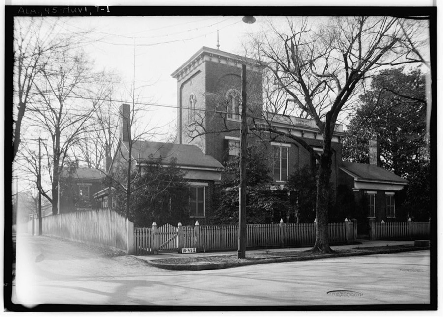
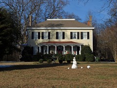
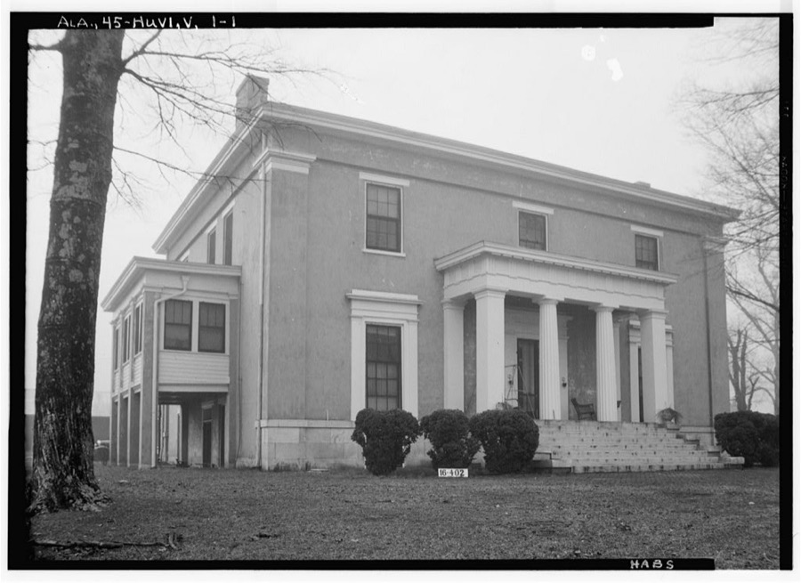
Gov. Thomas Bib House, 303 Williams St., Huntsville, Madison County, Alabama
Johnston, Frances Benjamin, 1939. Library of Congress
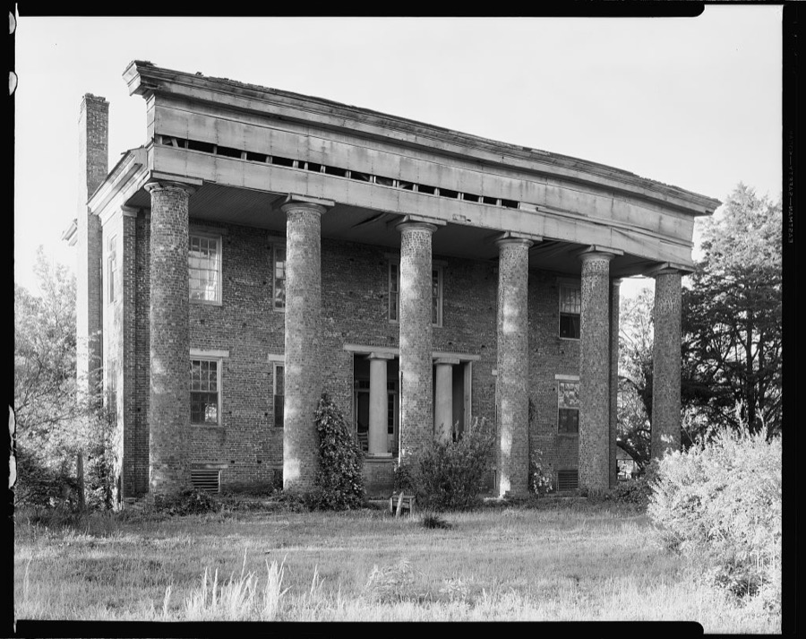
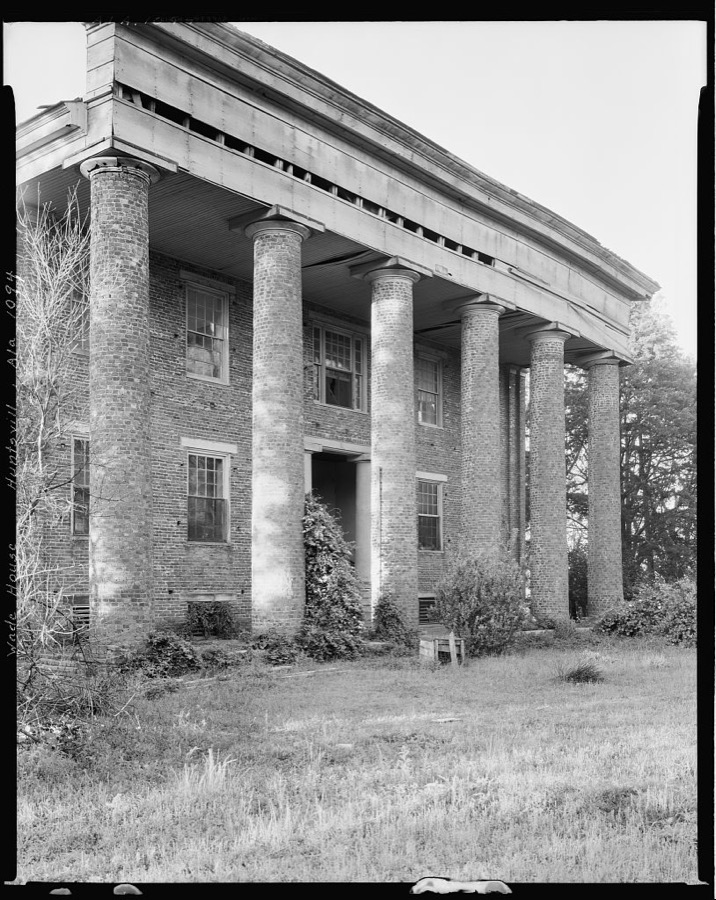
Wade House, Huntsville vic., Madison County, Alabama
Johnston, Frances Benjamin, 1939. Library of Congress
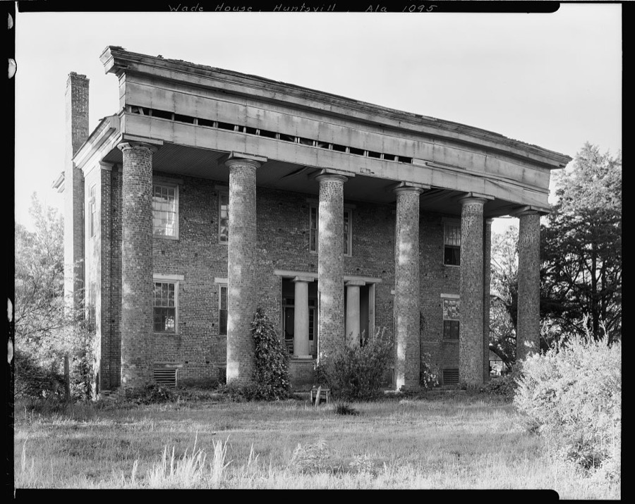
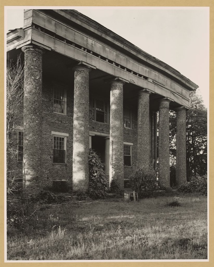
Wade House, Huntsville vic., Madison County, Alabama
Johnston, Frances Benjamin, 1939. Library of Congress
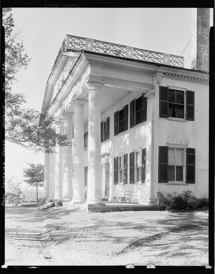
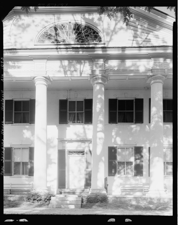
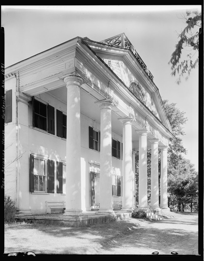
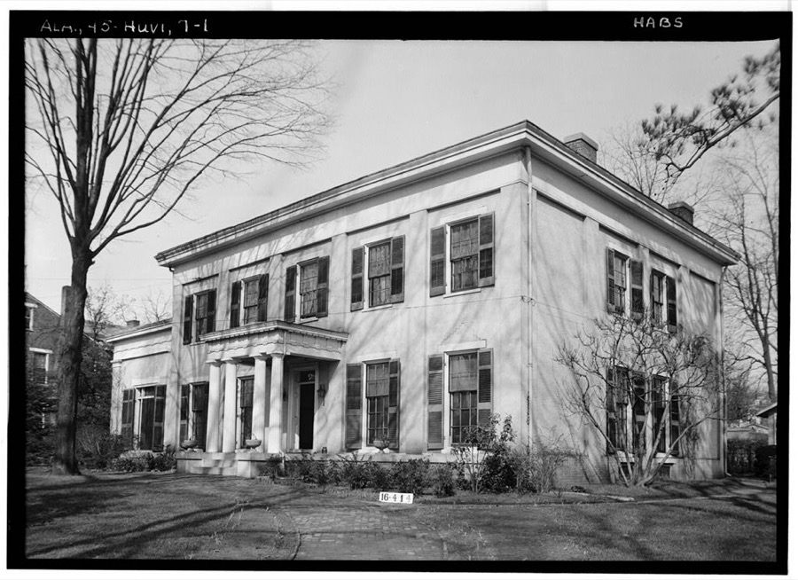
Col. Leroy Pope House, Huntsville, Madison County, Alabama
Johnston, Frances Benjamin, 1939. Library of Congress
Wade House, Huntsville vic., Madison County, Alabama
Johnston, Frances Benjamin, 1939. Library of Congress
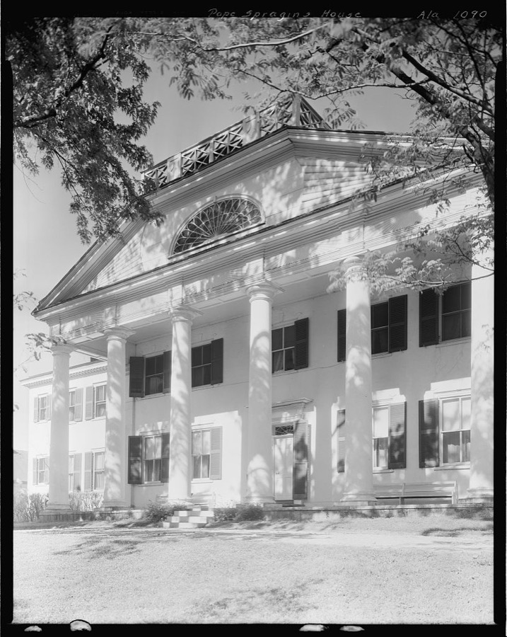
Col. Leroy Pope House, Huntsville, Madison County, Alabama
Johnston, Frances Benjamin, 1939. Library of Congress
Col. Leroy Pope House, Huntsville, Madison County, Alabama
Johnston, Frances Benjamin, 1939. Library of Congress
Wade House, Huntsville vic., Madison County, Alabama
Johnston, Frances Benjamin, 1939. Library of Congress
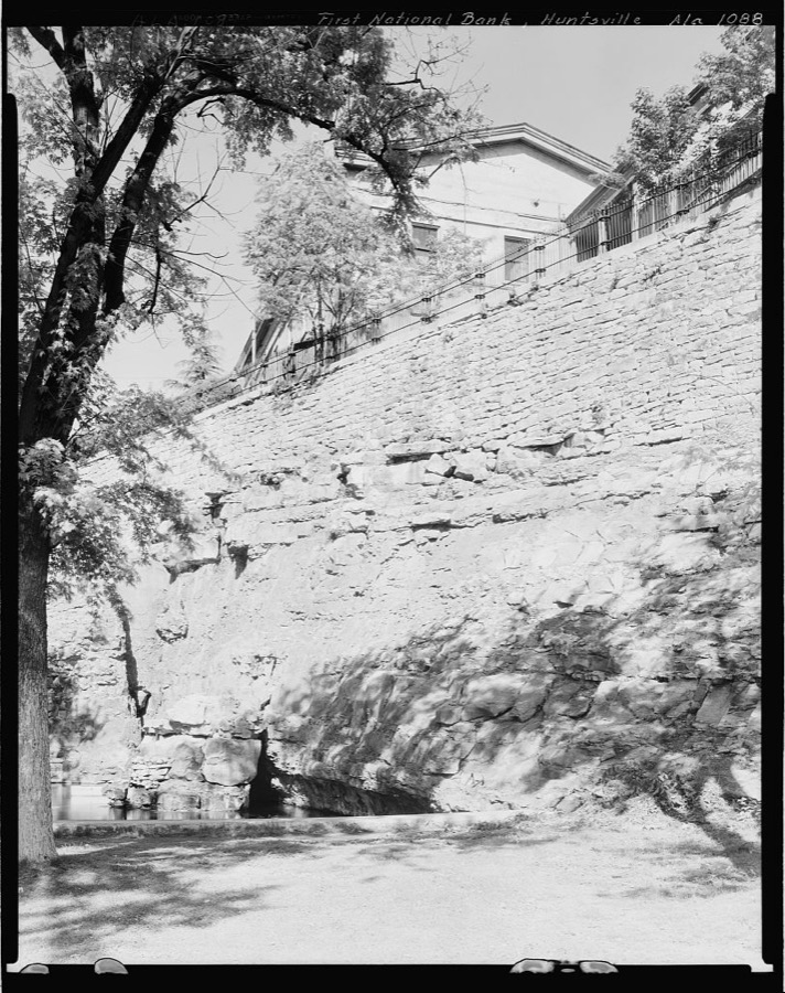
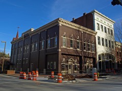
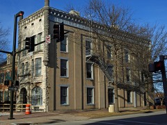
First National Bank, W. Court Square & Foundation Rd., Huntsville, Madison County, Alabama
Johnston, Frances Benjamin, 1939. Library of Congress
Col. Leroy Pope House, Huntsville, Madison County, Alabama
Johnston, Frances Benjamin, 1939. Library of Congress
[Madison County, Ala. 1940? community cotton gin owned and operated by Negroes
[Madison County, Ala. 1940? community cotton gin owned and operated by Negroes
Photographer not recorded, 1940. Library of Congress
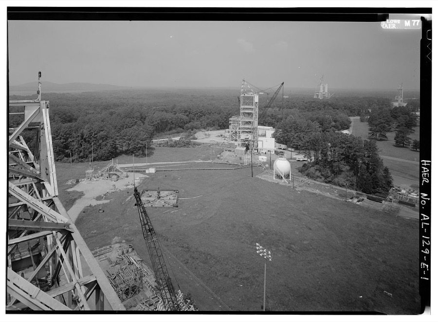
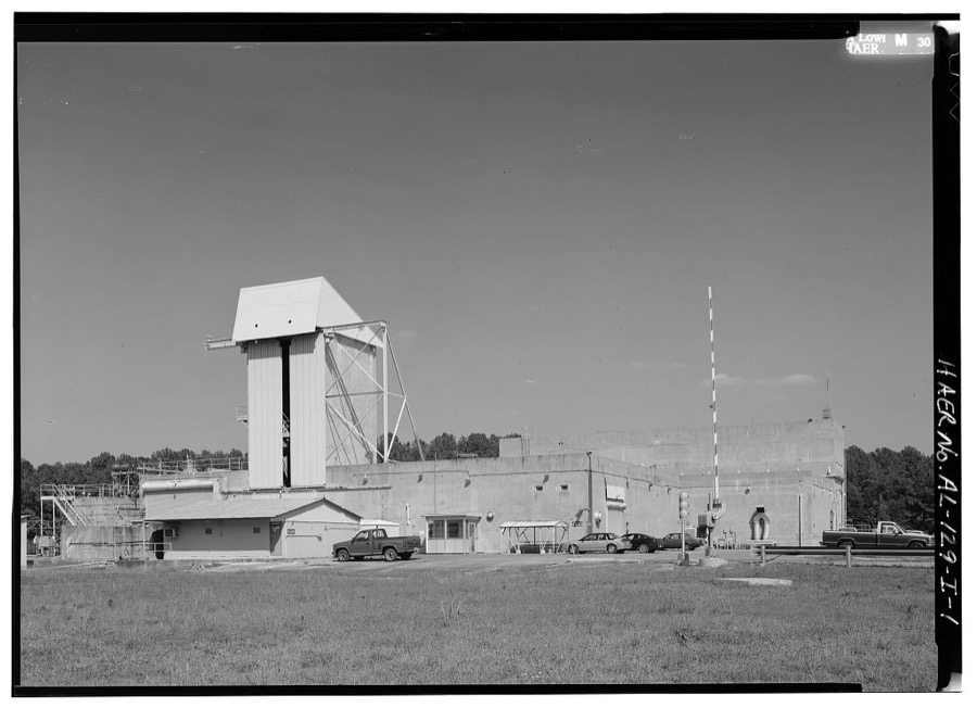
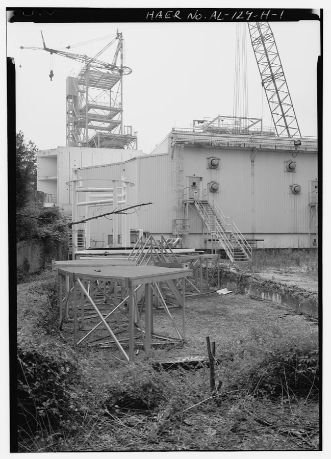
Marshall Space Flight Center, East Test Area, Dodd Road, Huntsville, Madison County, AL
Photographer not recorded. Library of Congress
Burritt House, 303 Eustis Avenue, Huntsville, Madison County, AL
Photographer not recorded. Library of Congress
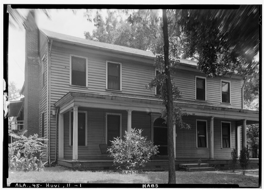
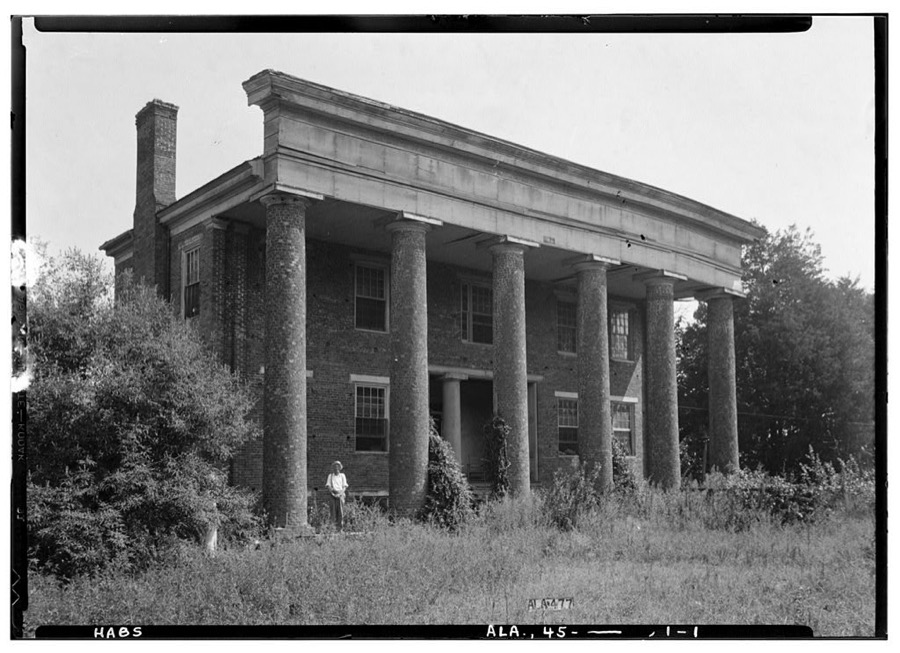
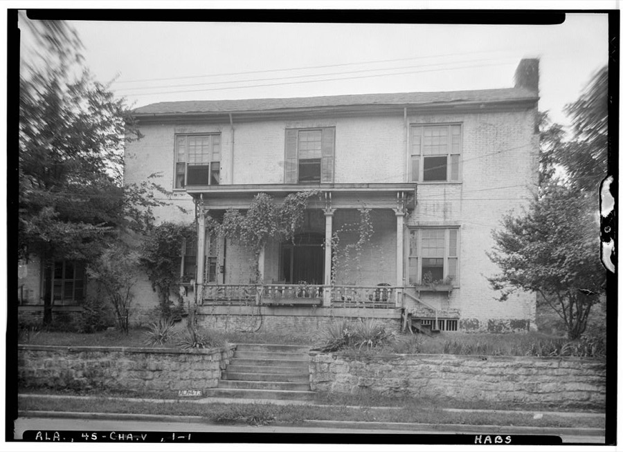
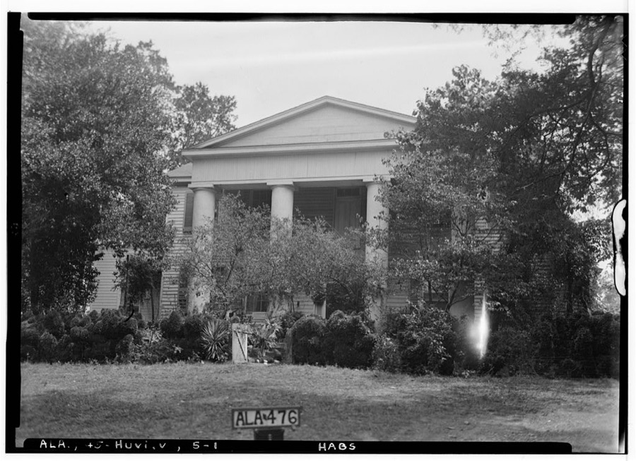
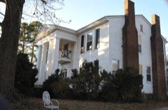
David Wade House, Bob Wade Lane, Huntsville, Madison County, AL
Photographer not recorded. Library of Congress
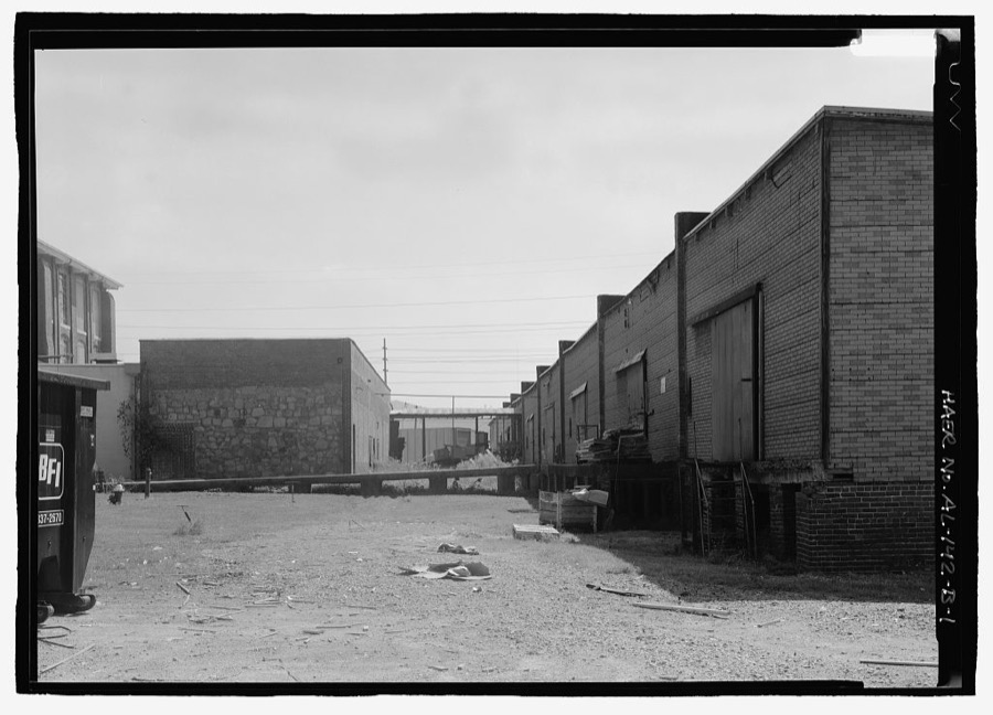
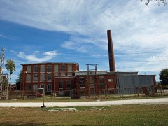
Lowe Mill, Warehouses, Eighth Avenue, Southwest, Huntsville, Madison County, AL
Photographer not recorded. Library of Congress
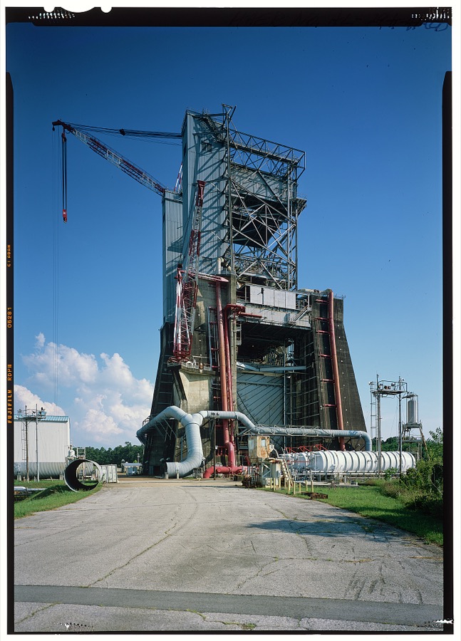
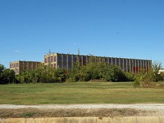
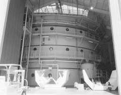
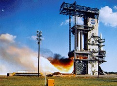
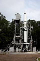
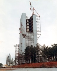
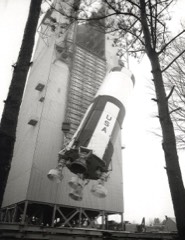
Marshall Space Flight Center, Saturn V S-IC Static Test Facility, West Test Area, Huntsville, Madison County, AL
Photographer not recorded. Library of Congress
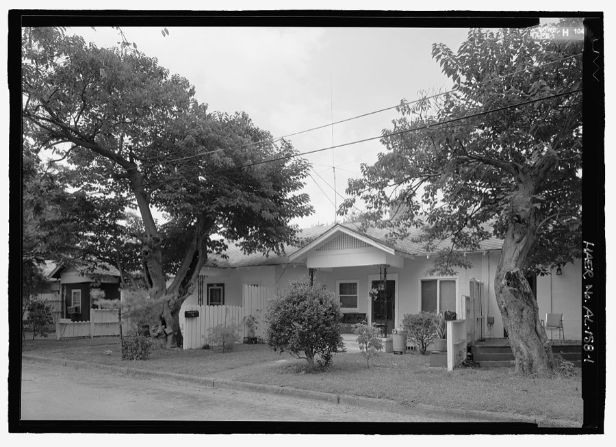
80 North Broad Place, Southwest (House), 80 North Broad Place, Southwest, Huntsville, Madison County, AL
Photographer not recorded. Library of Congress
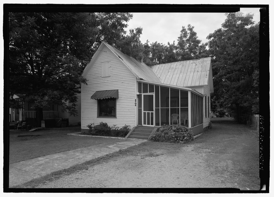
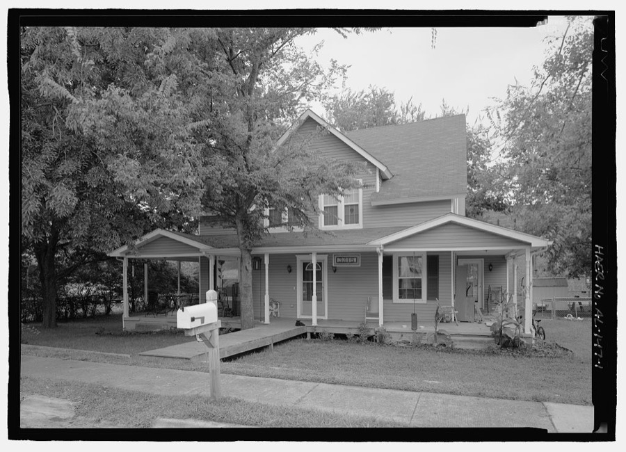
2709 Ninth Avenue (House), Huntsville, Madison County, AL
Photographer not recorded. Library of Congress
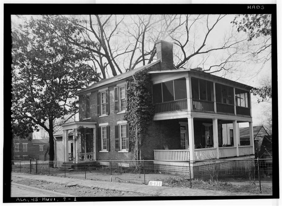
Thomas W. White House, 461 Eustis Avenue, Huntsville, Madison County, AL
Photographer not recorded. Library of Congress
McCracken House, Meridian Pike, Huntsville, Madison County, AL
Photographer not recorded. Library of Congress
3516 South Broad Place, Southwest (House), 3516 South Broad Place, Southwest, Huntsville, Madison County, AL
Photographer not recorded. Library of Congress
Gus Mastin House, Meridian Pike, Huntsville, Madison County, AL
Photographer not recorded. Library of Congress
1940 Ford G.P. - No. 1 (Pygmy), 2060A Airport Road, Huntsville, Madison County, AL
Photographer not recorded. Library of Congress
Lowe Mill, Paymaster's Office, Eighth Avenue, Southwest, Huntsville, Madison County, AL
Photographer not recorded. Library of Congress
J. Withers Clay House, 513 Eustis Avenue, Huntsville, Madison County, AL
Photographer not recorded. Library of Congress
Neal House, 558 Franklin Street, Huntsville, Madison County, AL
Photographer not recorded. Library of Congress
Marshall Space Flight Center, East Test Area, Components Test Laboratory, Huntsville, Madison County, AL
Photographer not recorded. Library of Congress
Marshall Space Flight Center, Engineering and Administration Building, Rideout Road, Huntsville, Madison County, AL
Photographer not recorded. Library of Congress
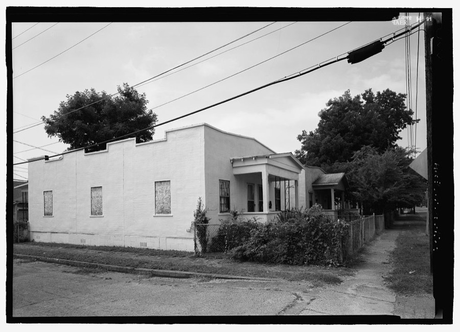
3315 Alpine Street, Southwest (House), Huntsville, Madison County, AL
Photographer not recorded. Library of Congress
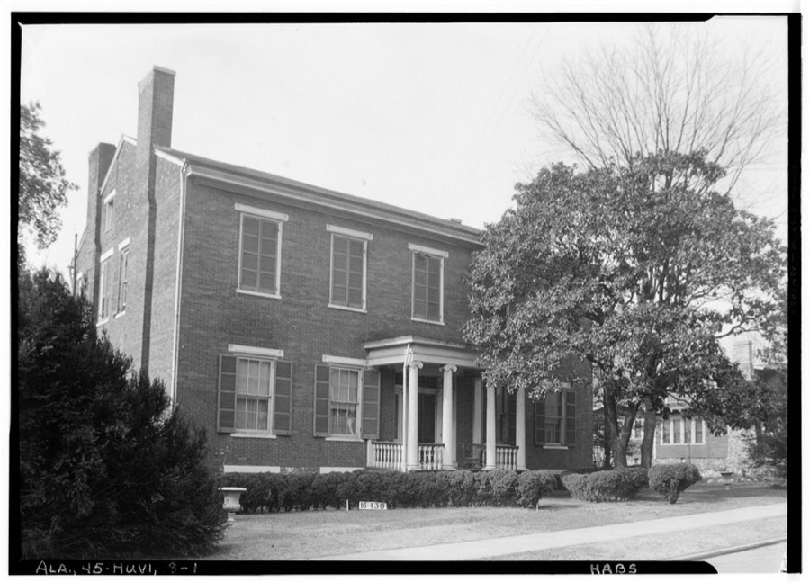
Perkins-Orgain-Winston House, 401 Lincoln Street, Huntsville, Madison County, AL
Photographer not recorded. Library of Congress
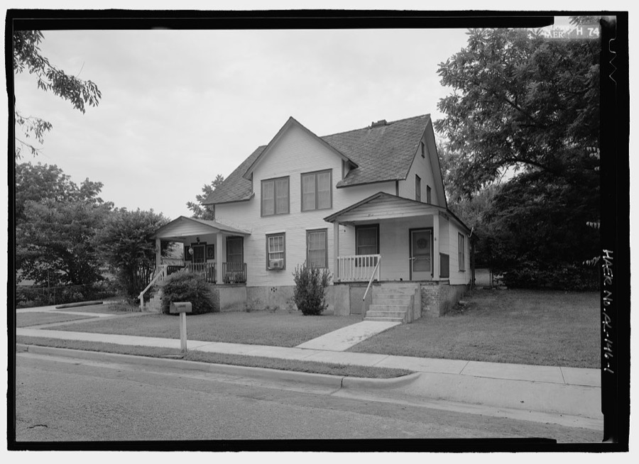
115 King Avenue (House), Huntsville, Madison County, AL
Photographer not recorded. Library of Congress
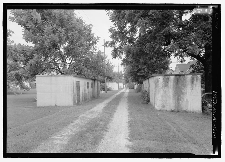
3703 Alpine Street, Southwest (Outbuilding), 3703 Alpine Street, Southwest, Huntsville, Madison County, AL
Photographer not recorded. Library of Congress
301 Abington Avenue (House), Huntsville, Madison County, AL
Photographer not recorded. Library of Congress
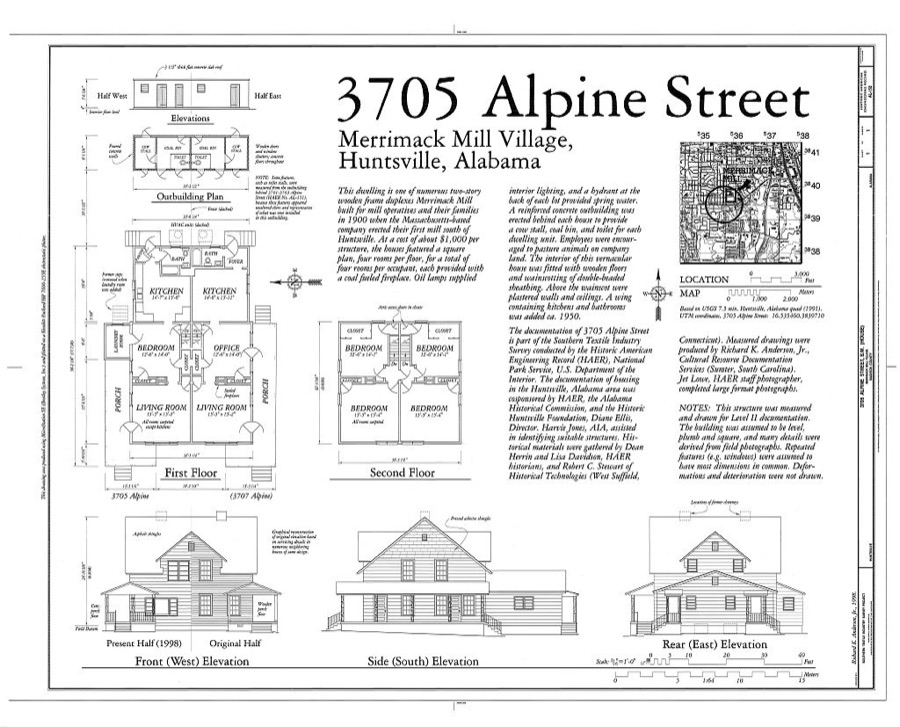
3705 Alpine Street, Southwest (House), 3705 Alpine Street, Southwest, Huntsville, Madison County, AL
Photographer not recorded. Library of Congress
Madison County, Ala., 1941-1943(?)--Mrs. Frank Jacobs likes to can fruits and vegetables
Photographer not recorded, 1941. Library of Congress
Pynchon House, 518 Adams Avenue, Huntsville, Madison County, AL
Photographer not recorded. Library of Congress
Oaks Place, 808 Maysville Road, Huntsville, Madison County, AL
Photographer not recorded. Library of Congress
Fearn-Garth House, 517 Franklin Street, Huntsville, Madison County, AL
Photographer not recorded. Library of Congress
Marshall Space Flight Center, East Test Area, Power Plant Test Stand, Huntsville, Madison County, AL
Photographer not recorded. Library of Congress
Greenlawn, U.S. Highway 431 (Memorial Parkway), Huntsville, Madison County, AL
Photographer not recorded. Library of Congress
3312-3314 Alpine Street, Southwest (House), 3312-3314 Alpine Street, Southwest, Huntsville, Madison County, AL
Photographer not recorded. Library of Congress
Cabiness House, 603 Randolph Street, Huntsville, Madison County, AL
Photographer not recorded. Library of Congress

Places on the National Register

97

Every property in this county listed on the National Register of Historic Places, with the year it was listed and the federal nomination document.

Photograph PropertyType ListedReference
Beckers Blockbuilding198080000703
James H. Bibb Housebuilding198484000651
Big Springsite198080000704
Building at 105 N. Washington Streetbuilding198484000653
Building at 305 Jeffersonbuilding200303001134
Buildings at 104-128 S. Side Sq.building198080004472
William Burritt Mansionbuilding199292000627
Butlers' Storebuilding199292001089
Carnegie Librarybuilding200101001407
Church of the Visitationbuilding198080000705
Clemens Housebuilding197474000419
Dallas Millbuilding197878000496
Dallas Mill Village Historic Districtdistrict201111000406
Domestic Science Buildingbuilding197373000358
Donegan Blockbuilding198080000706
Downtown Chevron Stationbuilding198080000707
Dunnavant's Buildingbuilding198080000708
Edmonton Heights Historic Districtdistrict2021100006659
Episcopal Church of the Nativitybuilding197474000420
Everett Buildingbuilding198080000709
First Baptist Churchbuilding2025100011919
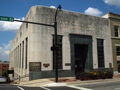
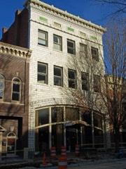
First National Bankbuilding197474000421
Five Points Historic Districtdistrict201212000522
Flint River Placebuilding198282002050
Hezekiah Ford Housebuilding201414000318
Fowler's Department Storebuilding199696000597
George C. McCaller Vocational Buildingbuilding200101001407
Glenwood Cemeterysite2023100009123
Gurley Historic Districtdistrict200404000562
Halsey Grocery Warehousebuilding198080000710
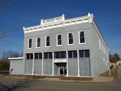
W. L. Halsey Warehousebuilding198080000711
Harrison Bros. Hardwarebuilding198080004472
Henderson National Bankbuilding198080000712
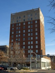
Hotel Russel Erskinebuilding198080000713
David C. Humphreys Housebuilding197777000211
Hundley Housebuilding197878000497
Hundley Rental Housesbuilding198080000714
Terry Hutchens Buildingbuilding198080000715
W. T. Hutchens Buildingbuilding198383004374
George Jude Housebuilding200000000139
Kelly Brothers and Rowe Buildingbuilding198080000716
Kildare-McCormick Housebuilding198282002051
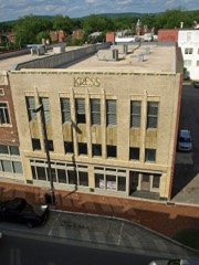
Kress Buildingbuilding198080000717
William Lanford Housedistrict199494000499
Leech-Hauer Housebuilding197878000498
Lincoln Mill and Mill Village Historic Districtdistrict201010000200
Lincoln Schoolbuilding198282001608
Lombardo Buildingbuilding198080000718
Lowe Mill and Mill Village Historic Districdistrict201111000375
Lowry Housebuilding200101001165
Madison Station Historic Districtdistrict200606000185
Maple Hill Cemeterysite201212000523
Mason Buildingbuilding198080000719
May and Cooney Dry Goods Companybuilding198080000720
McCartney-Bone Housebuilding197777000213
McCrary Housebuilding198282002052
McThornmor Acres Subdivision Historic Districtdistrict2022100004119
Merrimack Mill Village Historic Districtdistrict201010000172
Milligan Blockbuilding198080000721
Monte Sano Railroad Workers' Housebuilding199898001019
Neutral Buoyancy Space Simulatorstructure198585002807
New Market Historic Districtdistrict200404000237
New Market Presbyterian Churchbuilding198888001348
New Market United Methodist Churchbuilding199090000919
Old Town Historic Districtdistrict197878000499
Old Town Historic District (Boundary Increase & Additional Documentation)district201515000069
William Madison Otey Housebuilding198282002056
Phelps-Jones Housebuilding198282002053
Propulsion and Structural Test Facilitystructure198585002804
Rand Buildingbuilding198080000722
Randolph Street Church of Christbuilding198080000723
Redstone Test Standstructure197676000341
John Robinson Housebuilding197777000212
Mrs. William Robinson Housebuilding198282002054
Saturn V Dynamic Test Standstructure198585002806
Saturn V Space Vehiclestructure197878000500
Schiffman Buildingbuilding198080000724
Southern Railway System Depotbuilding197171000101
Steele-Fowler Housebuilding197474000422
Steger Housebuilding198282002055
Struve-Hay Buildingbuilding198080000725
Times Buildingbuilding198080000726
Twickenham Historic Districtdistrict197373000357
Twickenham Historic District (Boundary Increase & Additional Documentation)district201514000045
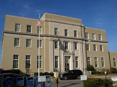
U.S. Courthouse and Post Officebuilding198181000129
Urguhart Housebuilding199292000034
Vaught Housebuilding198181000130
Virginia McCormick Buildingbuilding200101001407
Warden's Residencebuilding201010000258
White-Turner-Sanford Housebuilding198484000655
Whitesburg Estates Historic Districtdistrict2024100010967
Whitman-Cobb Housebuilding198282002057
Withers-Chapman Housebuilding197878000501
Yarbrough Hotelbuilding198080000727

Digitised newspapers

5 issues

Sampled issues, machine-read from the Library of Congress scan and published page by page, so every headline and column is searchable text.

The Huntsville Star

Huntsville, Ala., 1900 to 19??. Machine-read from the Library of Congress scan.

Huntsville Gazette

Huntsville, Ala., 1879 to 1894. Machine-read from the Library of Congress scan.

Bird's-eye views and land ownership maps

2

Drawn when these were printed as single large sheets: the town seen from the air, and the county divided into its farms with every owner named. Each opens the original at the Library of Congress.

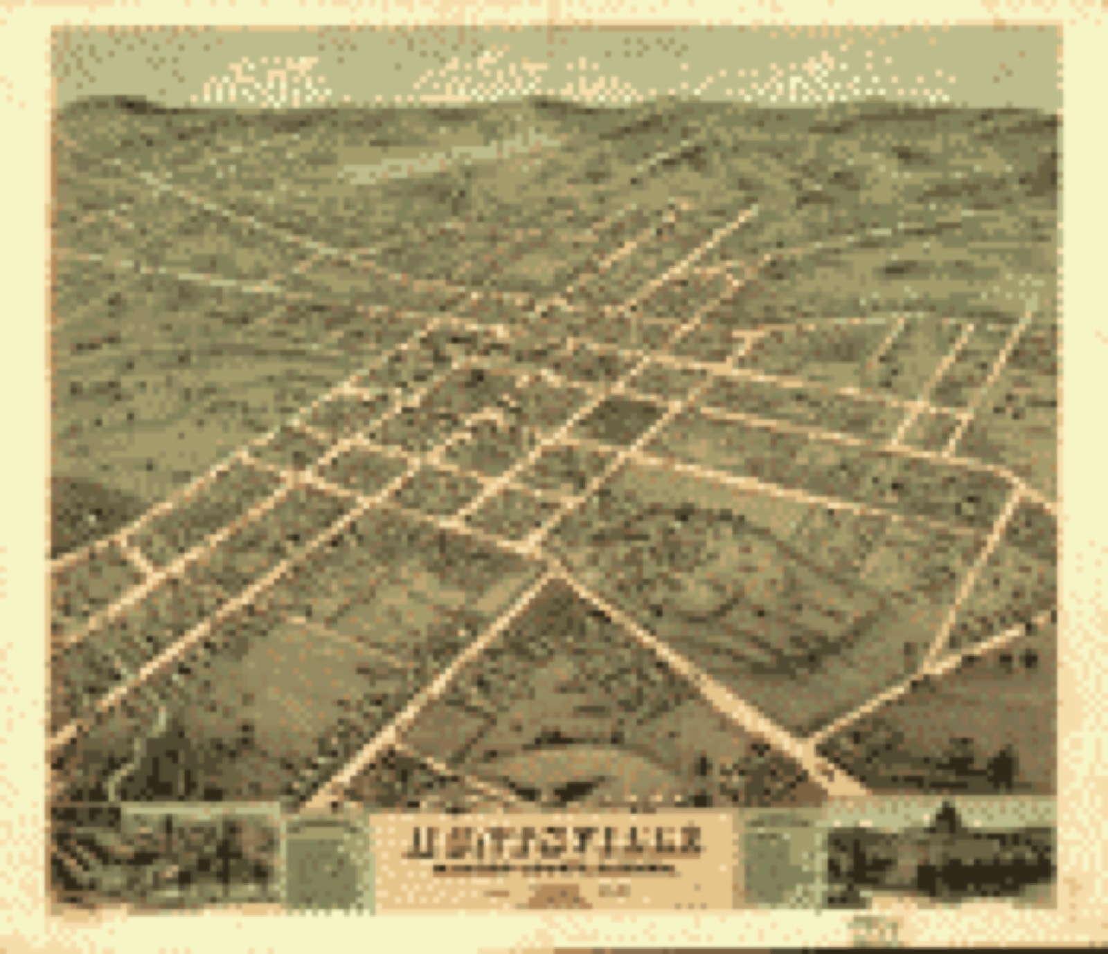
Bird's-eye view, 1871 - Bird's eye view of the city of Huntsville, Madison County, Alabama 1871
Bird's-eye view (1871) - Bird's eye view of the city of Huntsville, Madison County, Alabama 1871. Library of Congress.
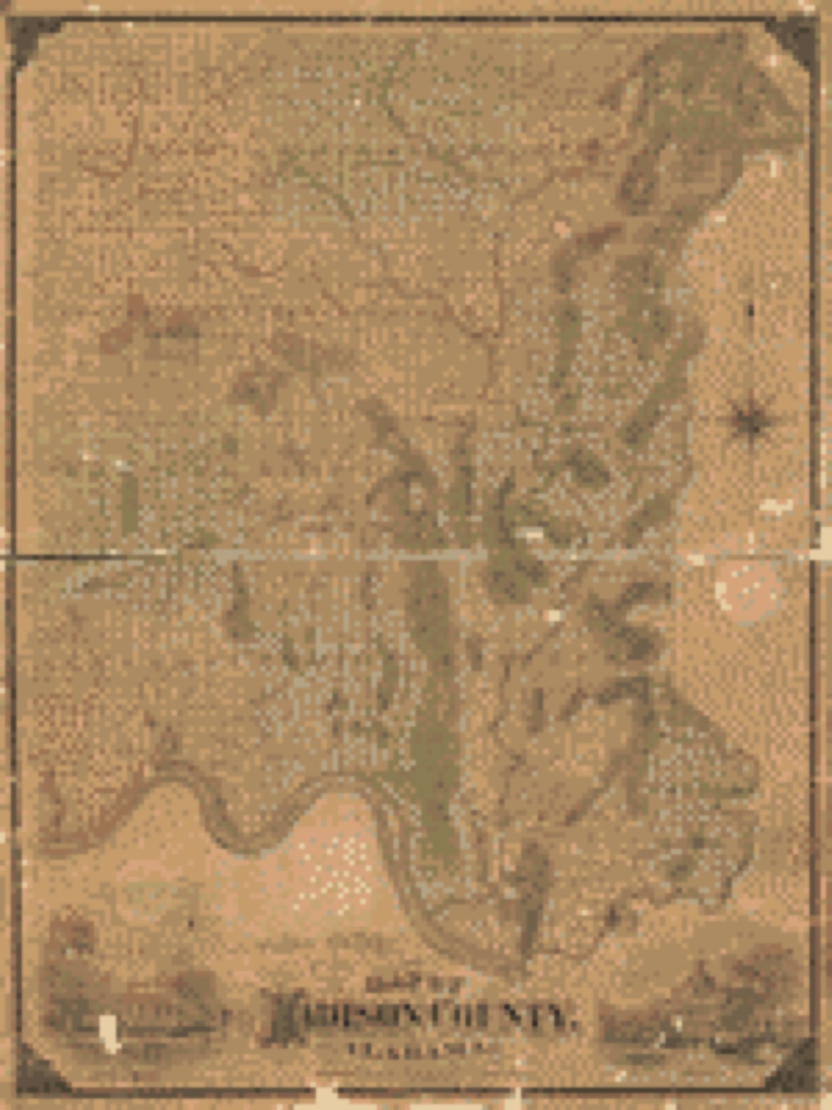
Land ownership map, 1875 - Map of Madison county, Alabama
Land ownership map (1875) - Map of Madison county, Alabama. Library of Congress.

Photographs from libraries nationwide

6 of 31 shown

Selected from the Digital Public Library of America's 31 image records catalogued for this county. Every one shown here carries a public-domain status or a licence that permits reuse on a site that carries advertising; non-commercial, share-alike and restricted images are excluded. The selection is spread across the county's towns (at most eight per town), so no single institution's bulk upload crowds out the rest. Each opens the holding library's record, and the complete set at the Digital Public Library of America is one click away.

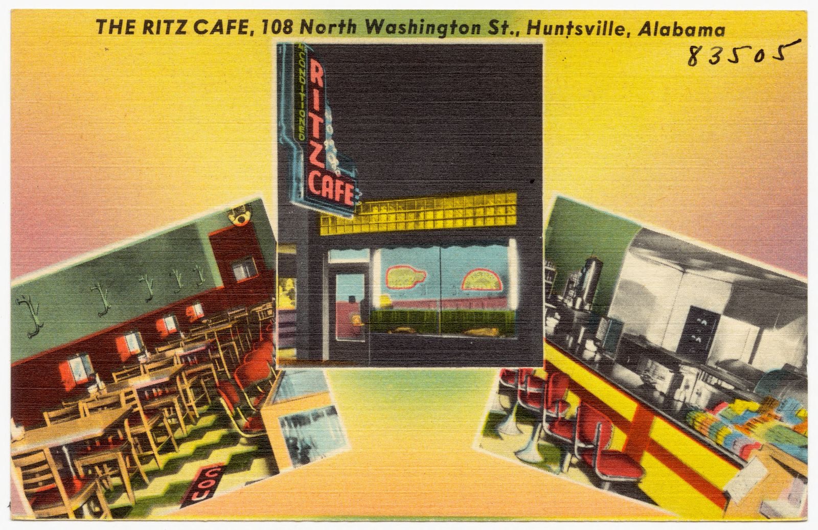
The Ritz Café, 108 North Washington St., Huntsville, Alabama, Boston Public Library - undated
The Ritz Café, 108 North Washington St., Huntsville, Alabama. Boston Public Library, via the Digital Public Library of America.
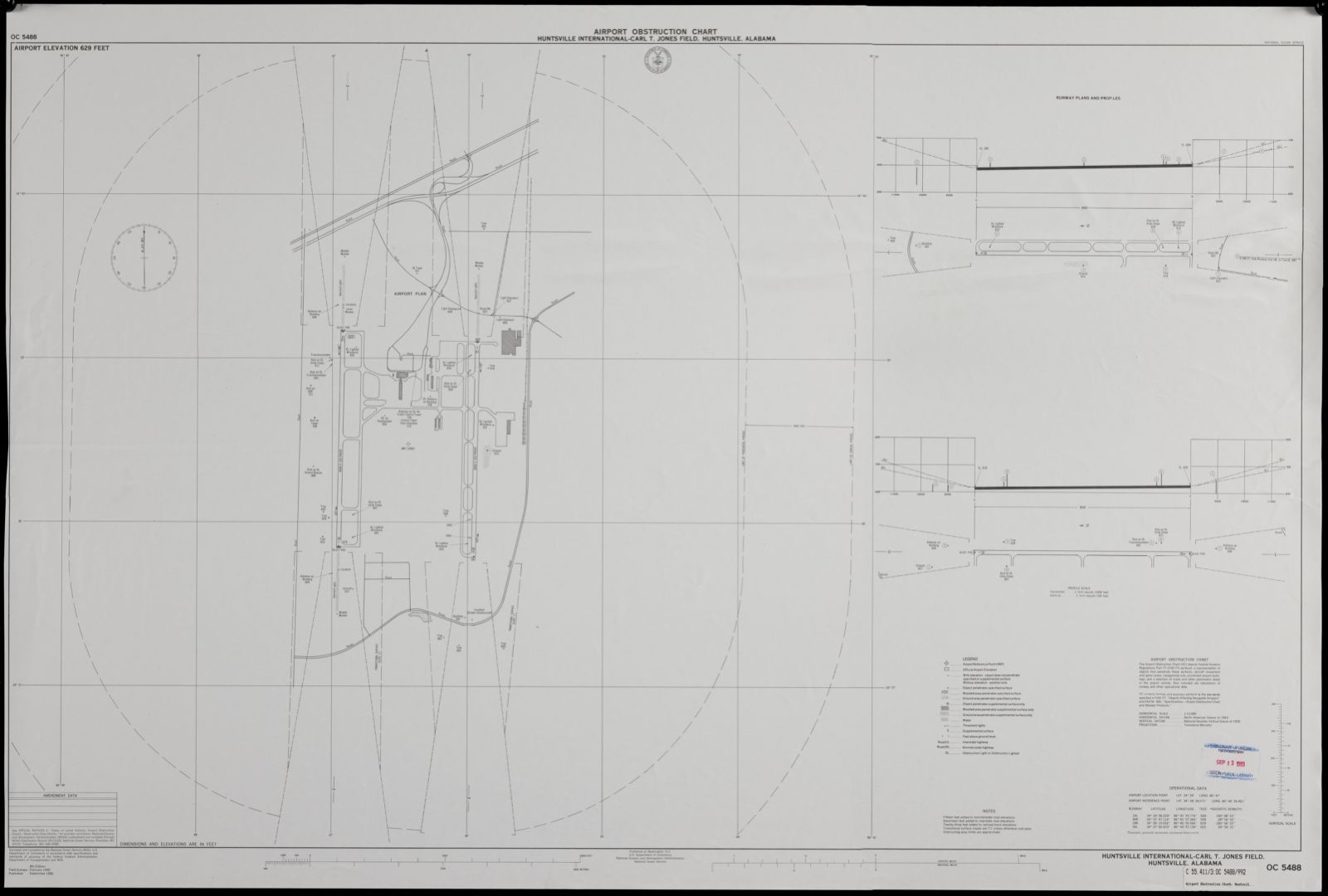
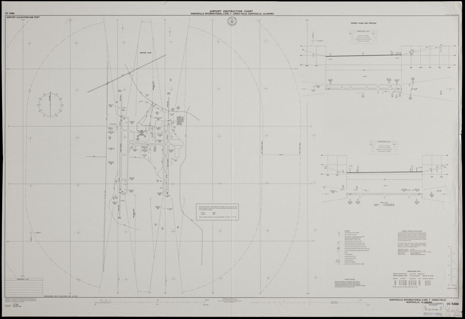
Airport obstruction chart, OC 5488, Huntsville International-Carl T. Jones Field, Huntsville, Alabama, Boston Public Library - undated
Airport obstruction chart, OC 5488, Huntsville International-Carl T. Jones Field, Huntsville, Alabama. United States. National Ocean Service, Boston Public Library, via the Digital Public Library of America.
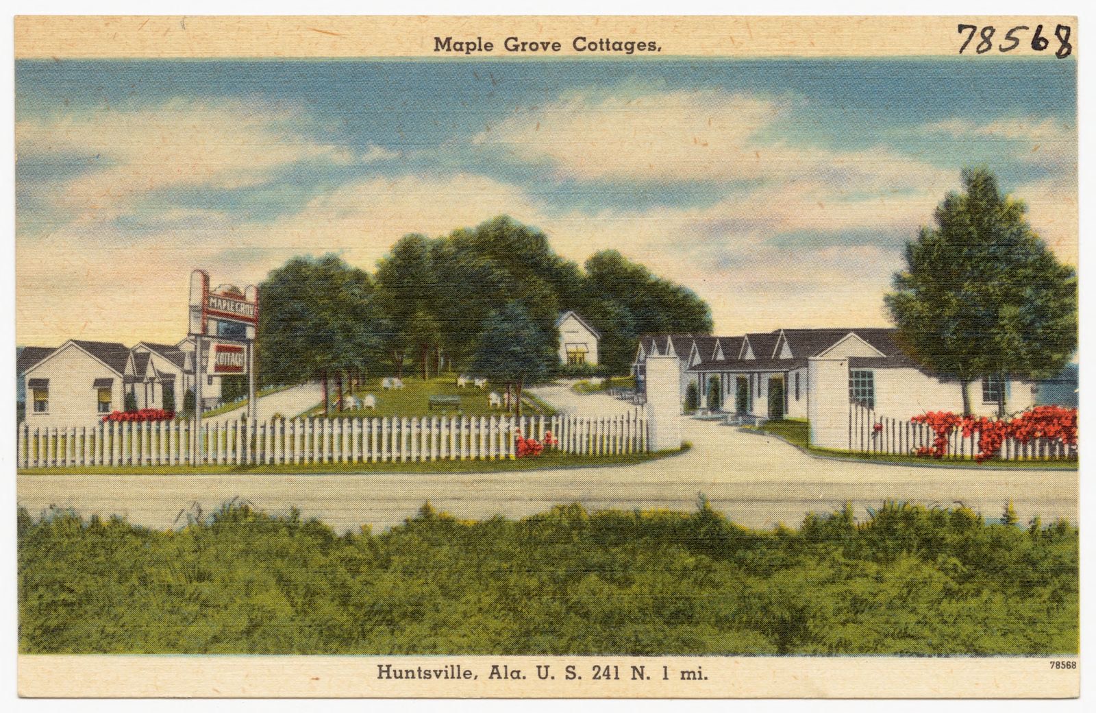
Maple Grove Cottages, Boston Public Library - undated
Maple Grove Cottages. Boston Public Library, via the Digital Public Library of America.
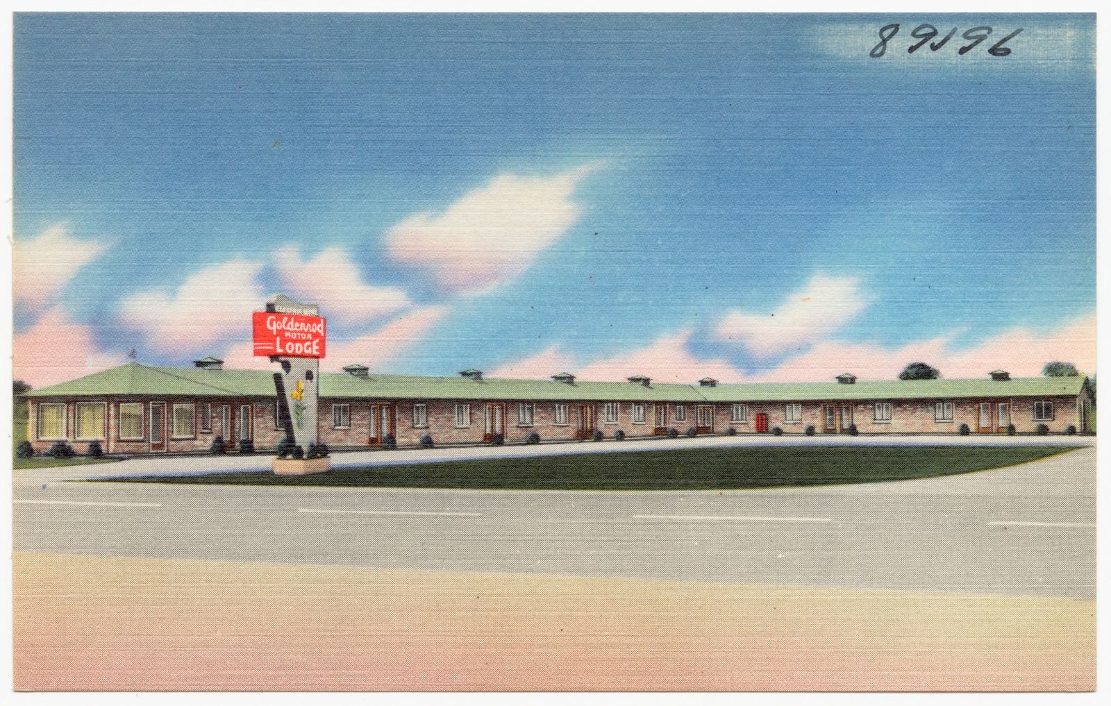
Goldenrod Motor Lodge, Boston Public Library - undated
Goldenrod Motor Lodge. Boston Public Library, via the Digital Public Library of America.
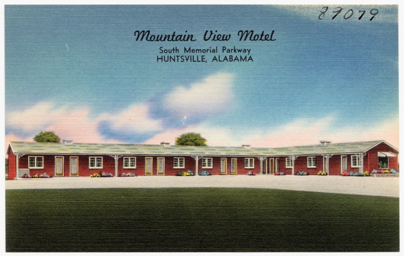
Mountain View Motel, Boston Public Library - undated
Mountain View Motel. Boston Public Library, via the Digital Public Library of America.
Airport obstruction chart, OC 5488, Huntsville International-Carl T. Jones Field, Huntsville, Alabama, Boston Public Library - undated
Airport obstruction chart, OC 5488, Huntsville International-Carl T. Jones Field, Huntsville, Alabama. United States. National Ocean Service, Boston Public Library, via the Digital Public Library of America.

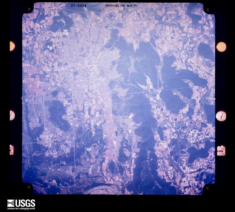
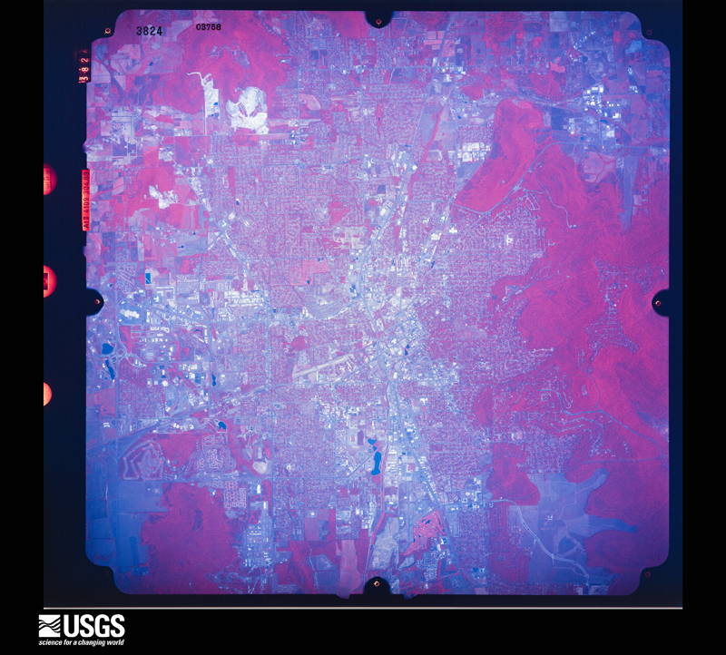
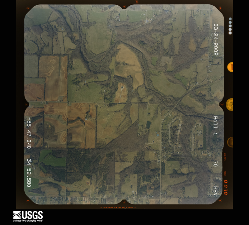
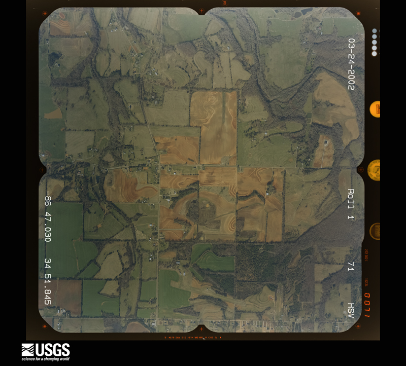
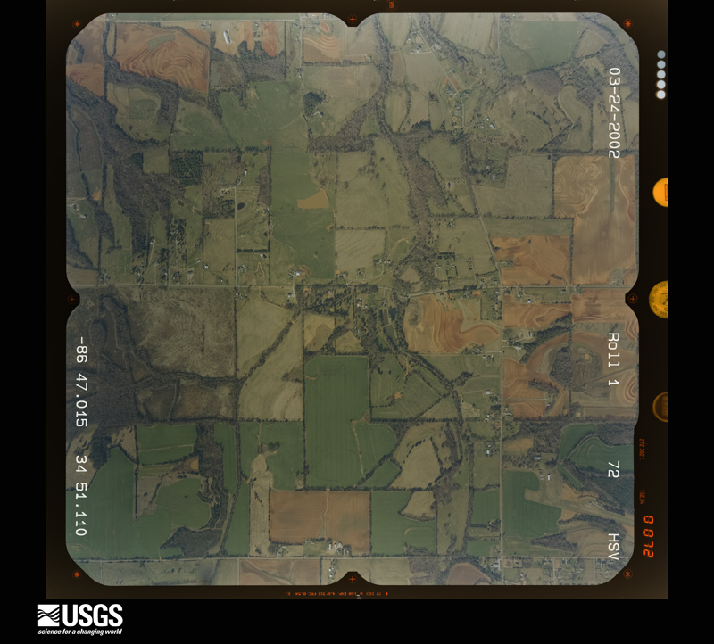
The county from the air

16 shown

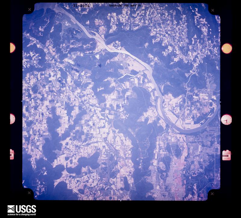
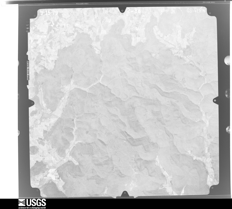
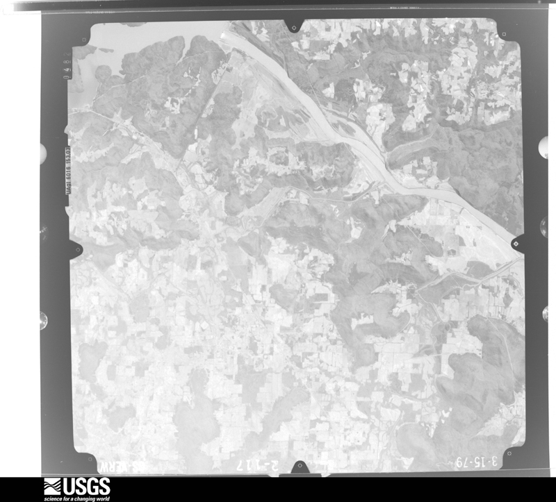
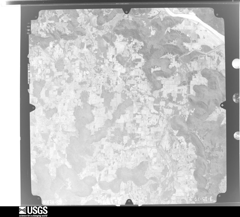
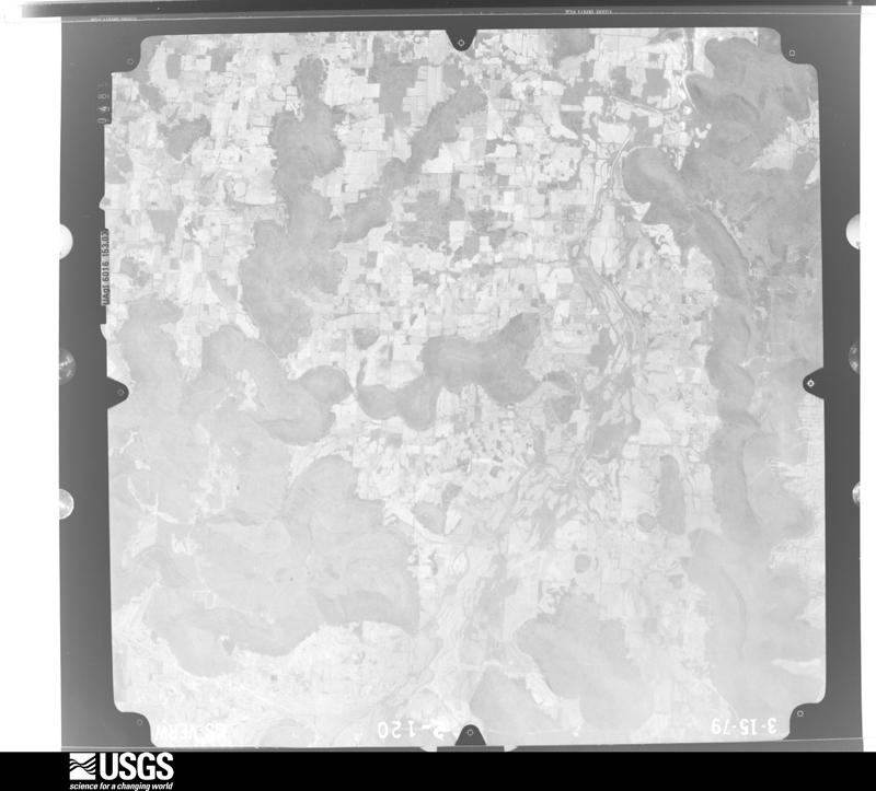
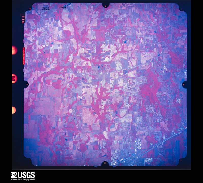
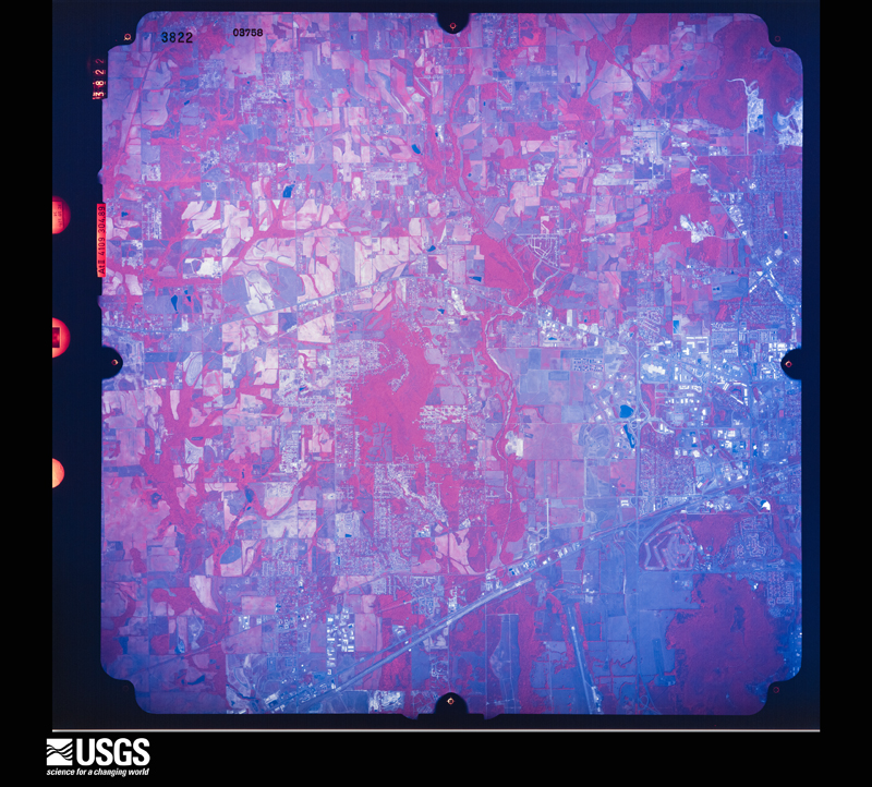
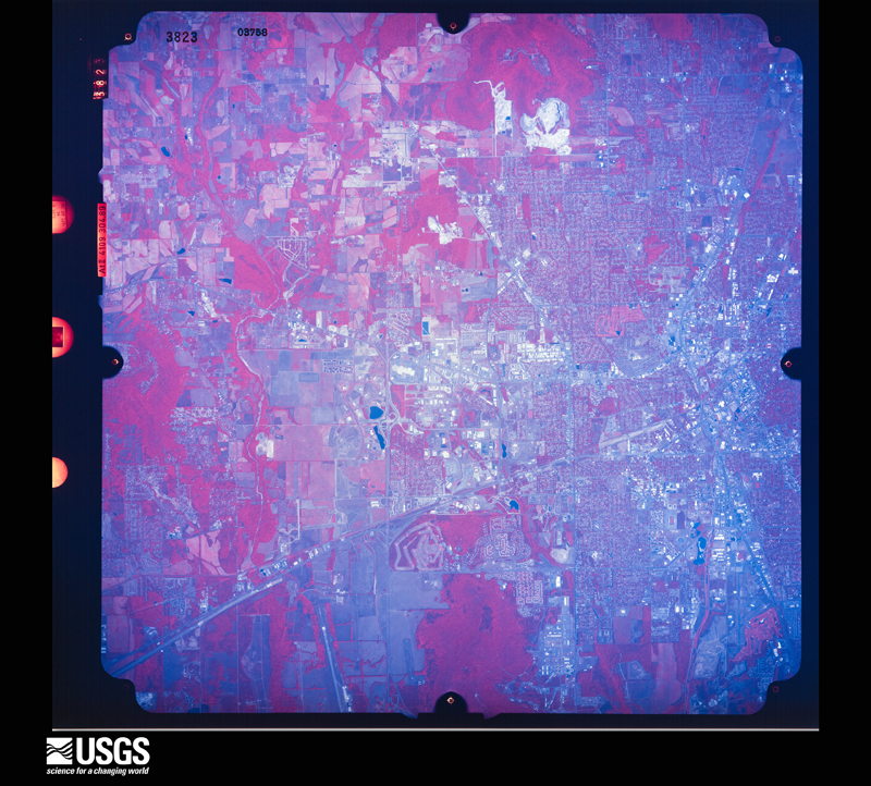
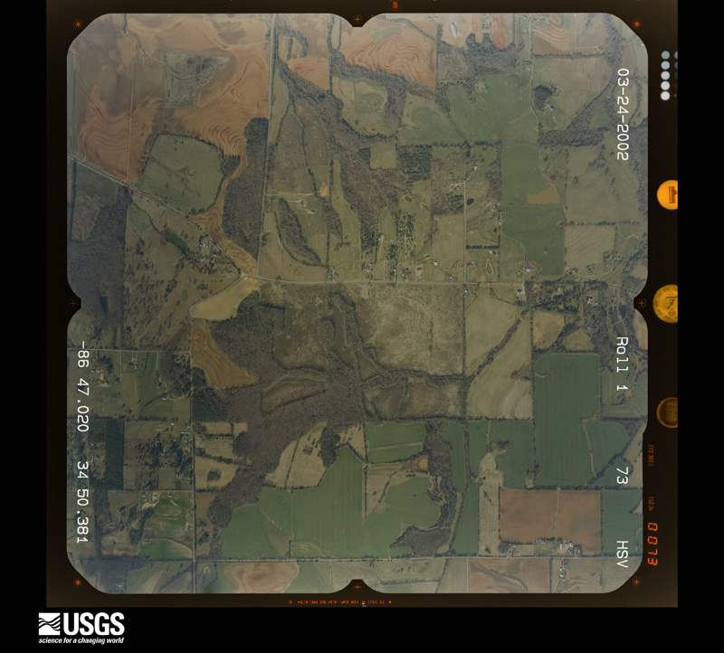
Flown by the U.S. Geological Survey between 1937 and 1989, the Aerial Photo Single Frames collection is the definitive mid-century view of the land: fields, roads and rivers as the camera saw them. The Survey holds 1,053 frames inside the rectangle that bounds this county; the 16 frames below were taken over the county itself, chosen across the decades of flights (at most four a year from that rectangle), so one flight cannot crowd out the rest. The full set is free to browse and download at EarthExplorer under the dataset Aerial Photo Single Frames.

U.S. Geological Survey aerial photograph, 1971-05-21, scale 1:121003
1971-05-21, scale 1:121003. U.S. Geological Survey aerial photograph.
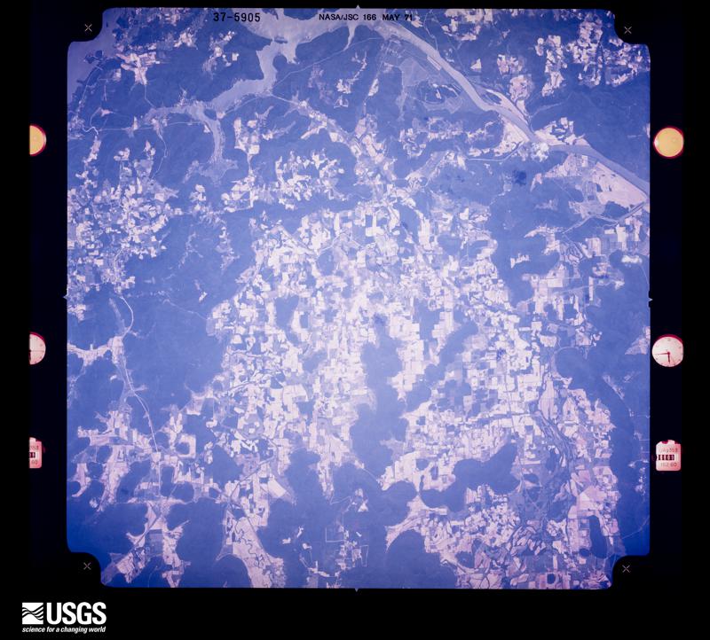
U.S. Geological Survey aerial photograph, 1971-05-21, scale 1:121003
1971-05-21, scale 1:121003. U.S. Geological Survey aerial photograph.
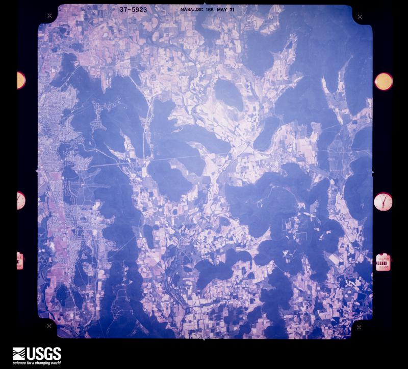
U.S. Geological Survey aerial photograph, 1971-05-21, scale 1:117492
1971-05-21, scale 1:117492. U.S. Geological Survey aerial photograph.
U.S. Geological Survey aerial photograph, 1971-05-21, scale 1:117492
1971-05-21, scale 1:117492. U.S. Geological Survey aerial photograph.
U.S. Geological Survey aerial photograph, 1979-03-15, scale 1:80000
1979-03-15, scale 1:80000. U.S. Geological Survey aerial photograph.
U.S. Geological Survey aerial photograph, 1979-03-15, scale 1:80000
1979-03-15, scale 1:80000. U.S. Geological Survey aerial photograph.
U.S. Geological Survey aerial photograph, 1979-03-15, scale 1:80000
1979-03-15, scale 1:80000. U.S. Geological Survey aerial photograph.
U.S. Geological Survey aerial photograph, 1979-03-15, scale 1:80000
1979-03-15, scale 1:80000. U.S. Geological Survey aerial photograph.
U.S. Geological Survey aerial photograph, 1988-07-09, scale 1:64000
1988-07-09, scale 1:64000. U.S. Geological Survey aerial photograph.
U.S. Geological Survey aerial photograph, 1988-07-09, scale 1:64000
1988-07-09, scale 1:64000. U.S. Geological Survey aerial photograph.
U.S. Geological Survey aerial photograph, 1988-07-09, scale 1:64000
1988-07-09, scale 1:64000. U.S. Geological Survey aerial photograph.
U.S. Geological Survey aerial photograph, 1988-07-09, scale 1:64000
1988-07-09, scale 1:64000. U.S. Geological Survey aerial photograph.
U.S. Geological Survey aerial photograph, 2002-03-24, scale 1:15000
2002-03-24, scale 1:15000. U.S. Geological Survey aerial photograph.
U.S. Geological Survey aerial photograph, 2002-03-24, scale 1:15000
2002-03-24, scale 1:15000. U.S. Geological Survey aerial photograph.
U.S. Geological Survey aerial photograph, 2002-03-24, scale 1:15000
2002-03-24, scale 1:15000. U.S. Geological Survey aerial photograph.
U.S. Geological Survey aerial photograph, 2002-03-24, scale 1:15000
2002-03-24, scale 1:15000. U.S. Geological Survey aerial photograph.

Weather records

134 stations, 9 gages

The thermometers that kept this county's weather, and the gages that measured the flow of its streams, as the federal records hold them. The extremes below are measured values from those records, not estimates.

The 1950 census, district by district

88 districts

Who lived here in 1950, one enumeration district at a time, as the Census Bureau described each district. Each row opens its official National Archives result, with Population Schedules and ED Maps available there.

  • 45-1Election Precinct 1, Huntsville, coextensive with Huntsville city: Huntsville city - That part of Ward 1 Bounded by City limits; City limits; Pratt Avenue; 7th
  • 45-2Election Precinct 1, Huntsville city - That part of Ward 1 Bounded by City limits; 7th; Pratt Avenue, Howe; Patton, Dallas Avenue, 1st
  • 45-3Election Precinct 1, Huntsville city - That part of Ward 1 Bounded by City limits; 1st, Dallas Avenue, Patton; Howe; Meridian, Patton, Josephine
  • 45-4Election Precinct 1, Huntsville city - That part of Ward 1 Bounded by City limits; Josephine, Patton, Meridian; Halsey, Jefferson, W. Holmes; Church
  • 45-5Election Precinct 1, Huntsville city - That part of Ward 1 Bounded by City limits; Church; W. Holmes, Athens Pike; Pulaski
  • 45-6Election Precinct 1, Huntsville city - That part of Ward 1 Bounded by City limits; Pulaski; Athens Pike; City limits
  • 45-7Election Precinct 1, Huntsville city - That part of Ward 2 Bounded by Pratt Avenue; City limits; City limits; 9th
  • 45-8Election Precinct 1, Huntsville city - That part of Ward 2 Bounded by Pratt Avenue; 9th; City limits, Wells Avenue; White
  • 45-9Election Precinct 1, Huntsville city - That part of Ward 2 Bounded by Howe, Pratt Avenue; White; E. Holmes; Jefferson, Halsey, Meridian
  • 45-10Election Precinct 1, Huntsville city - That part of Ward 2, excluding Twickenham Hotel Bounded by E. Holmes; White; Wells Avenue, Randolph; Jefferson
  • 45-11Twickenham Hotel (In Huntsville city, Ward 2, Election Precinct 1)
  • 45-12Election Precinct 1, Huntsville city - That part of Ward 3 Bounded by Wells Avenue; City limits; McClung; California
  • 45-13Election Precinct 1, Huntsville city - That part of Ward 3 Bounded by Randolph, Wells Avenue; California; McClung, Williams; Madison
  • 45-14Election Precinct 1, Huntsville city - That part of Ward 3 Bounded by Williams; Adams Avenue, California; Big Cove Pike; Whitesburg Drive, Madison
  • 45-15Election Precinct 1, Huntsville city - That part of Ward 3 Bounded by McClung; Tennessee Avenue; Fraser, California; Adams Avenue
  • 45-16Election Precinct 1, Huntsville city - That part of Ward 3 Bounded by McClung; City limits; Big Cove Pike; California, Fraser, Tennessee Avenue
  • 45-17Election Precinct 1, Huntsville city - That part of Ward 4 Bounded by Athens Pike, W. Holmes; Jefferson; E. Clinton, W. Clinton; City limits
  • 45-18Election Precinct 1, Huntsville city - That part of Ward 4, excluding Russell Erskine Hotel Bounded by W. Clinton, E. Clinton; Jefferson, Madison; Williams, Gallatin, Davis, Pearl, Huntsville Spring Branch; City limits
  • 45-19Russell Erskine Hotel (In Huntsville city, Ward 4, Election Precinct 1)
  • 45-20Election Precinct 1, Huntsville city - That part of Ward 4 Bounded by Huntsville Spring Branch, Pearl, Davis, Gallatin, Williams; Madison, Whitesburg Drive; 5th Avenue; City limits, Huntsville Spring Branch
  • 45-21Election Precinct 1, Huntsville city - That part of Ward 4 Bounded by 5th Avenue; Whitesburg Drive, Brandon; Marsheutz Avenue, Ward line, City limits; City limits
  • 45-22Election Precinct 1, Huntsville city - That part of Ward 5 Bounded by Big Cove Pike, City limits; City limits; City limits; Whitesburg Drive, Bob Wallace Avenue, Lytle
  • 45-23Election Precinct 1, Huntsville city - That part of Ward 5 Bounded by Big Cove Pike; Lytle; Bob Wallace Avenue; Whitesburg Drive
  • 45-24Election Precinct 1, Huntsville city - That part of Ward 5 Bounded by Marsheutz Avenue, Brandon; Whitesburg Drive; Bob Wallace Avenue; Billie Watkins Avenue
  • 45-25Election Precinct 1, Huntsville city - That part of Ward 5 Bounded by Ward line, Marsheutz Avenue, Billie Watkins Avenue, Bob Wallace Avenue; Whitesburg Drive; City limits; City limits, Ward line
  • 45-26Election Precinct 2, New Market: Election Precinct 2, New Market - That part east of Nashville, Chattanooga and St. Louis Railroad
  • 45-27Election Precinct 2, New Market - That part west of Nashville, Chattanooga and St. Louis Railroad
  • 45-28Election Precinct 3, Maysville
  • 45-29Election Precinct 4, Colliers
  • 45-30Election Precinct 5, New Hope
  • 45-31Election Precinct 6, Whitesburg: Election Precinct 6, Whitesburg - That part including Hobbs Island, and excluding Huntsville Arsenal (part) and Redstone Arsenal
  • 45-32Huntsville Arsenal - That part in Election Precinct 6, Whitesburg (Remainder of Huntsville Arsenal is in Election Precincts 8, Madison and 25, Huntsville Part (Merrimack)
  • 45-33Redstone Arsenal (In Election Precinct 6, Whitesburg)
  • 45-34Oakwood-Lincoln Mills, unincorporated, comprising parts of Election Precincts 7, Lincoln, and 14, Northwest Huntsville: Oakwood-Lincoln Mills, unincorporated - That part in Election Precinct 7, Lincoln Bounded by Virginia Avenue extended, Virginia Avenue, Virginia Avenue extended, Unnamed street; Election Precinct line; Oakwood Avenue; Election Precinct line
  • 45-35Oakwood-Lincoln Mills, unincorporated - That part in Election Precinct 7, Lincoln Bounded by Oakwood Avenue; Election Precinct line;, Huntsville City limits; Election Precinct line
  • 45-36Oakwood-Lincoln Mills, unincorporated - That part in Election Precinct 14, Northwest Huntsville Bounded by Oakwood Avenue; Election Precinct line; Huntsville City limits, Pulaski, Maple Avenue; B, Avenue B extended, N.Boundary extended, N. Boundary, Pulaski
  • 45-37Election Precinct 7, Lincoln- That part outside the unincorporated place of Oakwood - Lincoln Mills. (See separate map for boundaries of Oakwood - Lincoln Mills) (Remainder of Election Precinct 7, Lincoln is in the unincorporated place of Oakwood - Lincoln Mills)
  • 45-38Election Precinct 8, Madison: Madison town
  • 45-39Election Precinct 8, Madison - That part north of Southern Railway and east of Indian Creek
  • 45-40Election Precinct 8, Madison - That part west of Indian Creek and north of Southern Railway, outside Madison town
  • 45-41Election Precinct 8, Madison - That part south of Southern Railway, outside Madison town, and excluding Huntsville Arsenal (part)
  • 45-42Huntsville Arsenal - That part in Election Precinct 8, Madison (Remainder of Huntsville Arsenal is in Election Precincts 6, Whitesburg and 25, Huntsville Part (Merrimack)
  • 45-43Election Precinct 9, Harvest: Election Precinct 9, Harvest - That part east and north of Harvest - Jeff and Harvest - Toney Roads
  • 45-44Election Precinct 9, Harvest - That part west and south of Harvest - Toney and Harvest - Jeff Roads
  • 45-45Election Precinct 10, Lower Madison Cross Roads: Election Precinct 10, Lower Madison Cross Roads - That part east of Harvest-Toney - Elkwood Road
  • 45-46Election Precinct 10, Lower Madison Cross Roads - That part west of Harvest - Toney Elkwood Road
  • 45-47Election Precinct 11, Meridianville: Election Precinct 11, Meridianville - That part north of Brier Fork and Beaverdam Creeks and east of U. S. Highway 241
  • 45-48Election Precinct 11, Meridianville - That part west of U. S. Highway 241, excluding A. and M. Institute for Negroes
  • 45-49A. and M. Institute for Negroes (In Election Precinct 11, Meridianville)
  • 45-50Election Precinct 11, Meridianville - That part south of Beaverdam and Brier Fork Creeks and east of U. S. Highway 241
  • 45-51Election Precinct 12, Hazel Green: Election Precinct 12, Hazel Green - That part northeast of Flint River
  • 45-52Election Precinct 12, Hazel Green - That part southwest and west of Flint River and U. S. Highway 241 and north of road from U. S. Highway 241 to west Precinct line near Banyon
  • 45-53Election Precinct 12, Hazel Green - That part south and east of road from west Precinct line near Banyon to U. S. Highway 241, U. S. Highway 241, and Flint River
  • 45-54Election Precinct 13, Poplar Ridge, West Huntsville, unincorporated, comprising parts of Election Precincts 14, Northwest Huntsville, 24, West Huntsville, and 25, Huntsville Park (Merrimack)
  • 45-55West Huntsville, unincorporated - That part in Election Precinct 14, Northwest Huntsville Bounded by Maple, Pulaski; Huntsville City limits; Election Precinct line; 8th, Athens Pike, Maple
  • 45-56West Huntsville, unincorporated - That part in Election Precinct 24, West Huntsville Bounded by Election Precinct line; Huntsville City limits, Huntsville Spring Creek; 5th Avenue; 9th
  • 45-57West Huntsville, unincorporated - That part in Election Precinct 24, West Huntsville Bounded by Election Precinct line; 9th, 5th Avenue, 10th; Election Precinct line; Unnamed road
  • 45-58West Huntsville, unincorporated - That part in Election Precinct 24, West Huntsville Bounded by 5th Avenue; Huntsville Spring Creek; Election Precinct line; 10th
  • 45-59West Huntsville, unincorporated - That part in Election Precinct 25, Huntsville Park (Merrimack) Bounded by Election Precinct line; Newry Road; Burr Road, 15th Avenue; 7th
  • 45-60Election Precinct 14, Northwest Huntsville - That part outside the unincorporated places of Oakwood-Lincoln Mills and West Huntsville. (See separate maps for boundaries of Oakwood- Lincoln Mills and West Huntsville) (Remainder of Election Precinct 14, Northwest Huntsville is in the unincorporated places of Oakwood-Lincoln Mills and West Huntsville)
  • 45-61Election Precinct 15, Gurley: Election Precinct 15, Gurley - That part southeast of Hurricane Creek
  • 45-62Election Precinct 15, Gurley - That part northwest of Hurricane Creek
  • 45-63Election Precinct 16, Deposit: Election Precinct 16, Deposit - That part southeast of Nashville, Chattanooga and St. Louis Railroad
  • 45-64Election Precinct 16, Deposit - That part northwest of Nashville, Chattanooga and St. Louis Railroad
  • 45-65Election Precinct 17, Plevna
  • 45-66Election Precinct 18, Elon
  • 45-67Election Precinct 19, Owens Cross Roads
  • 45-68Election Precinct 20, Dallas: Dallas Mills - East Side, unincorporated: Dallas Mills - East Side, unincorporated - That part Bounded by Oakwood Avenue; 14th; Huntsville City limits; 10th
  • 45-69Dallas Mills - East Side, unincorporated - That part Bounded by Oakwood Avenue; 10th; Huntsville City limits; 6th
  • 45-70Dallas Mills - East Side, unincorporated - That part Bounded by Unnamed street, Unnamed street, Oakwood Avenue; 6th; Huntsville City limits; Huntsville City limits, Election Precinct line
  • 45-71Election Precinct 20, Dallas - That part outside the unincorporated place of Dallas Mills-East Side (See separate map for boundaries of Dallas Mills - East Side)
  • 45-72Election Precinct 21, Monrovia: Election Precinct 21, Monrovia - That part east of Indian Creek
  • 45-73Election Precinct 21, Monrovia - That part west of Indian Creek
  • 45-74Election Precinct 22, Hurricane
  • 45-75Election Precinct 23, Sulphur Springs: Election Precinct 23, Sulphur Springs - That part east and north of Flint River
  • 45-76Election Precinct 23, Sulphur Springs - That part south and west of Flint River
  • 45-77Election Precinct 24, West Huntsville - That part outside the unincorporated place of West Huntsville (See separate map for boundaries of West Huntsville) (Remainder of Election Precinct 24, West Huntsville is in the unincorporated place of West Huntsville) Election Precinct 25, Huntsville Park (Merrimack), outside the unincorporated place of West Huntsville: Merrimack, unincorporated:
  • 45-78Merrimack, unincorporated - That part Bounded by 15th Avenue, Burr Road, Newry Road, Election Precinct line; Huntsville Spring Creek; Johnson Road, Knight Road, Hood Road, Cobb Road, Linden; Park Boulevard
  • 45-79Merrimack, unincorporated - That part Bounded by Cedar; Park Boulevard; Linden; Grote Avenue
  • 45-80Merrimack, unincorporated - That part Bounded by Election Precinct line; 7th, Park Boulevard, Cedar, Grote Avenue; Ridgecrest; Unnamed road
  • 45-81Merrimack, unincorporated - That part Bounded by Ridgecrest, Grote Avenue, Linden; Dubose Avenue, Ridgecrest, The Prado, Archer Drive, Park Blvd; Johnson Road, Johnson Road extended; Unnamed road
  • 45-82Merrimack, unincorporated - That part Bounded by Linden, Cobb Road, Hood Road; Knight Road; Johnson Road, Offset 1/4 mile east of and parallel to Park Boulevard, Due west line to the junction of Park Boulevard and Unnamed road; Park Boulevard , Archer Drive, The Prado, Ridgecrest, Dubose Avenue
  • 45-83Election Precinct 25, Huntsville Park (Merrimack) - That part outside the unincorporated places of Merrimack and West Huntsville, and excluding Huntsville Arsenal (part). (See separate maps for boundaries of Merrimack and West Huntsville)
  • 45-84Huntsville Arsenal - That part in Election Precinct 25, Huntsville Park (Merrimack) (Remainder of Huntsville Arsenal is in Election Precincts 6, Whitesburg and 8, Madison) (Remainder of Election Precinct 25, Huntsville Park (Merrimack) is in the unincorporated place of West Huntsville)
  • 45-85Election Precinct 26, Ryland
  • 45-86Election Precinct 27, Upper Madison Cross Roads: Election Precinct 27, Upper Madison Cross Roads - That part east of Limestone Creek and branch of Limestone Creek
  • 45-87Election Precinct 27, Upper Madison Cross Roads - That part west of branch of Limestone Creek and Limestone Creek
  • 45-88Election Precinct 28, East and South Huntsville

Wildfire, 1993 to 2020

399 fires

Every wildfire the federal occurrence database records inside this county: 399 of them, burning about 2,192 acres. None started naturally and 70 were recorded as arson. Each settlement page carries the fires within five miles of it.

Reported cause Fires
Debris and open burning169
Missing data/not specified/undetermined70
Arson/incendiarism70
Equipment and vehicle use31
Misuse of fire by a minor24
Recreation and ceremony19
Smoking13
Fireworks2
Railroad operations and maintenance1

The five largest, by the area the report gives. One of them was set deliberately.

DateCause SizeReported by Name on the report
25 February 2006Recreation and ceremony200 acresAlabama Forestry CommissionMADISON LAKE
14 September 1999Equipment and vehicle use100 acresAlabama Forestry Commissionnot named
21 February 2013Missing data/not specified/undetermined85 acresAlabama Forestry CommissionNOR-20130221-001
8 March 2001Debris and open burning85 acresAlabama Forestry Commissionnot named
7 September 1999Debris and open burning70 acresAlabama Forestry Commissionnot named
15 April 2003Arson/incendiarism60 acresAlabama Forestry CommissionSOUTH SHAWNEE RD., AL
11 November 2005Equipment and vehicle use55 acresAlabama Forestry Commissionnot named
29 January 2004Debris and open burning50 acresAlabama Forestry Commissionnot named

Every settlement page carries the fires within five miles of it - see the settlement index below.

Storms, 1951 to 2026

60 of 1,981 shown

The NOAA Storm Events Database holds 1,981 reports for this county, causing 68 deaths, 830 injuries and about $550,768,350 in recorded property damage. Each settlement page carries the reports that name it.

Kind of event Reports
Thunderstorm Wind1055
Hail471
Flash Flood203
Tornado96
Lightning69
Flood42
Heavy Rain26
Funnel Cloud17
Dust Devil2

The most serious of them, by death, then injury, then recorded damage. The accounts are quoted exactly as the forecast office filed them.

WhenEvent Place namedHarm What the report says
November 1989Tornado (F4)not stated21 killed, 463 hurt, $250,000,000no account filed
July 1984Thunderstorm Windnot stated11 killed, 2 hurtno account filed
April 1974Tornado (F5)not stated9 killed, 110 hurtno account filed
April 2011Tornado (EF4)Cluttsville9 killedThe tornado crossed in Madison County east of Limestone County Prisonalong Orvil Smith Road with a path width of mile. The tornado maintained an EF-3 strength with winds of 140 to 160 MPH and a path width between and mile for much of its track northeast across Old Railroad Bed Road and Ford Chapel Road, before narrowing to around 300 yards in Anderson Hills. Dozens of well-constructed homes were destroyed, in some cases with all exterior walls collapsing in both single and two-story homes. At least 3-5 mobile homes were either destroyed or swept completely clean with no evidence of debris. At least 2 other well-constructed homes had complete wall collapse in Anderson Hills and were shifted off their foundation. This damage was once again consistent with low end EF-4 wind speeds of around 170 MPH.||Numerous tall pines and other hardwood trees were snapped, uprooted and debarked along the entire path. The path width widened once again to around mile as the tornado tracked through residential areas along Bald Eagle Lane, Old Eli Road and Ginnery Row. At least 2 of these homes had complete wall collapse, but these structures had foundation straps and nails in lieu of bolts. At least one fatality was confirmed at one of these residences. Eight additional fatalities occurred in Madison County along the track of this violent tornado. The damage was consistent with high end EF-3 wind speeds between 140 and 160 MPH. The tornado lifted just south of the Patterson Lane after twisting irrigation equipment and snapping additional trees. Just to the northeast of this location, the tornado touched down again as an EF-0 tornado with peak wind speeds of 70 MPH. Along Grimwood Road and Walker Lane, south of Hazel Green, the tornado uprooted and snapped several trees. The tornado weakened or may have lifted briefly across extreme northeast Madison County before re-strengthening again as it entered Lincoln County in Southern Middle Tennessee.
April 1974Tornado (F5)not stated5 killed, 110 hurtno account filed
April 1974Tornado (F3)not stated2 killed, 3 hurt, $2,500,000no account filed
June 2008Thunderstorm Wind(Hsv)Huntsville Jone1 killed, 12 hurt, $1,000,000A non-severe thunderstorm produced a microburst as it was dissipating at the Huntsville International Airport during an air show. Several tents were damaged and destroyed by the thunderstorm winds. A large and expensive army tent and equipment was extensively damaged.
April 1974Tornado (F3)not stated1 killed, 6 hurt, $2,500,000no account filed
April 2023Tornado (EF3)Fisk1 killed, 5 hurtThe tornado began west of Highway 431 and south of Elkwood Section Road where multiple trees were uprooted and several trees fell on homes. On the east side of Highway 431, near the Lincoln Road intersection, numerous structures were heavily damaged including multiple stores which sustained major damage. This includes a collapse of walls and roofs displaced with debris thrown eastward. Given the degree of damage at this location, a mid-range EF-3 rating was reported. The tornado tracked east-northeast through Mulberry Road. Along this path, the tornado uprooted and snapped numerous trees and caused significant roof damage to a single-family home. Unfortunately, the tornado continued to intensify on route to Borderline Road which is along the Alabama and Tennessee state line. At this location, heavy damage was noted where houses were damaged and two homes experienced a complete collapse of walls, destroying the structures. One fatality was reported at a single-family home along Borderline Road where the structure was destroyed. In addition, HEMSI reported five injuries, three of which were transported to the hospital with critical injuries and two were treated on scene with minor injuries.
July 2016LightningChelsea1 killed, 3 hurtMedia reports lightning has struck an individual on the Redstone Stone Arsenal grounds. Strike developed well outside the line of storms. Time estimated by NASA SPoRT.||From WAAY: Redstone Arsenal officials confirm that a contractor was killed on post Thursday after a possible lightning strike. ||The man, who worked for Eskola Roofing based in Morristown TN., was pronounced deceased Thursday night at 11:30pm at UAB Hospital. Garrison officials say that the man was working near PEO Aviation at 2:45pm when he was injured.
June 1999Flash FloodHuntsville1 killed, 1 hurt, $1,500,000Heavy rainfall of four to seven inches, most of which occurred in just less than two hours, flooded the Huntsville area. According to newspaper reports, one woman was killed when her car stalled on a flooded bridge on Vermont Road. As she exited the car, she was swept away in the water. A television cameraman was injured when he was swept away by high water while filming. He was rescued by the Huntsville Fire Department. Several other motorists were stranded in high water and were rescued by the fire department. Numerous roads in the area were flooded and subsequently closed. Many local streams and creeks were out of their banks, sending several feet of water into approximately 300 homes and businesses. Several residents were rescued from their homes. Several thousand area customers were without power through the early morning hours due to lightning strikes. A mudslide occurred in Monte Sano State Park covering part of the park road.
August 2002LightningHuntsville1 killed, 1 hurt, $100,000Four fires were started almost simultaneously by lightning strikes. One man died in a fire caused by a lightning strike. This occurred when the Royal Pines apartment complex caught on fire and damaged eight units. One unit of the University Park Apartments was heavily damaged by a lightning induced fire. One house received attic damage from a fire and one person suffered smoke inhalation.
August 2022Thunderstorm WindHuntsville Mills Arp1 killed, $500A 22 year old male was killed after being struck by a large falling tree limb along Bluff Line Trail at Monte Sano Nature Preserve near Bankhead Parkway. Time was estimated from radar.
September 2021Flash FloodHazel Green1 killedA 35 year old man drowned as a strong water current pulled him into a nearby drainage pipe along Bullard Road.
June 2018LightningCherrytree1 killedBroadcast media relayed a report of a woman stuck by lightning while inspecting a seawall in the Hampton Cove community. She passed away from her injuries 2 weeks later.
December 2015FloodElon1 killedFrom WHNT News Article: Madison County Coroner has identified a man who drowned Sunday afternoon in the New Hope area. Coroner Bobby Berryhill said Gary Sloman, 53, of New Hope, died around 2 p.m. Berryhill said Sloman had left his truck near the flooding to go check on a friend and got caught in the rushing water. Investigator Jeremy Hughes with the Madison County Sheriffs Office said Sunday they received a call about a body found in flood waters. Deputies responded to CC Ivey Road around 4 p.m. Berryhill said the death was accidental, there were no signs of foul play.
July 2012LightningBell Factory1 killedA 40 year old male was struck by lightning in the driveway of his residence near the intersection of Bell Factory Road and Red Rock Drive. The person was transported to the hospital and died five days later on the 20th. Exact time of the lightning strike is unknown.
November 1973Tornado (F3)not stated42 hurt, $2,500,000no account filed
December 1967Tornado (F2)not stated27 hurt, $2,500,000no account filed
May 1973Tornado (F2)not stated10 hurt, $250,000no account filed
November 1967Tornado (F2)not stated7 hurt, $250,000no account filed
November 1992Tornado (F2)not stated5 hurt, $2,500,000no account filed
January 2020Thunderstorm WindNebo3 hurtA large tree was knocked down onto an ambulance, injuring 3 occupants. The injuries were thankfully minor. The event occurred on Balch Road just north of U.S. Highway 72.
June 1994Tornado (F2)not stated2 hurt, $5,000,000The edge of the thunderstorm entered Alabama from Tennessee around 1924 CST moving on a southeasterly course that took it across the eastern sections of Lauderdale County, across central Limestone County, and across southern Madison County. Lauderdale County: The tornado that began in Tennessee and moved across Iron City continued into Lauderdale County ending in the Lexington area. The F-scale associated with this report reflecknots the damage that was caused in Tennessee. Significant damage was done to more than 15 homes in the Mary's Chapel area just northwest of Lexington near the state line. Two people were injured when their mobile home was overturned. Limestone County: Another tornado (F3) touched down for a short path on the northwest side of Athens totally destroying one house. No one was home at the time. A third tornado (F1) touched down about five miles east-southeast of Tanner and stayed on the ground for approximately five miles. In Elkmont, the top of a steel water tower weighing between two and three tons and measuring 30 feet by 10 feet was ripped off and blown 50 yards where it struck a car and the edge of a church. Madison County: A fourth tornado was produced beginning on the north side of Madison continuing across the east side of Madison and extending into the northern portion of the Redstone Arsenal. Homes and businesses were damaged or destroyed by the tornado as well as numerous trees downed. Extensive damage in the Pebble Brook Subdivision and around Bob Jones High School. A man was injured when a tree fell on him on Old Madison Pike. Over 300 trees were estimated to be blown down on the Redstone Golf Course. Wind gusted to 58 knoknots (67 mph) reported at the Hunknotsville International Airport at the National Weather Service office. The thunderstorm produced straight-line wind damage along the entire path of the storm.
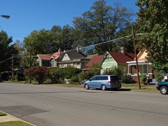
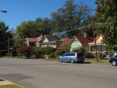
February 2000Thunderstorm WindHuntsville2 hurt, $250,000A downburst event began around 7:28 pm and continued about 4 minutes until 7:32 pm. Minor damage occurred just west of Huntsville Park with damage at Joe Davis Stadium and a shopping area known as Stadium Place. Several businesses sustained significant damage including an NTB store where the wind collapsed an exterior wall and threw roofing materials across Memorial Parkway. A number of other businesses in the immediate area sustained damage, too. Two people were apparently slightly injured as they sought shelter when the wind struck while eating at one of the restaurants that was damaged. After crossing Memorial Parkway, the downburst worked its way eastward blowing down numerous trees and power lines. The wind damage extended up the west side of a ridge running north from Garth Mountain. Significant damage ends near the top of the ridge. Most homes that were damaged had roof damage that consisted mainly of shingles being removed. One tree fell on a car and severely damaged it. One man was killed as he was walking across the Tennessee River Bridge in Madison County and fell off. County authorities were unsure whether it was directly related to the high wind or he jumped.
July 2000Thunderstorm WindCountywide2 hurt, $40,000Numerous trees and power lines were blown down throughout the county. At least 40,000 customers were without power for several hours. In Huntsville, a man fell into a rain swollen creek and was swept away. The swift water rescue squad saved the man with only minor injuries. At the NASA Space Flight Center in Huntsville, a young boy was injured when a tree fell on him.
June 1951Tornado (F2)not stated2 hurt, $2,500no account filed
May 1997Tornado (F2)Meridianville1 hurt, $600,000A short but powerful tornado struck the area northwest of Meridianville destroying four homes along with major damage to two otehrs and minor damage to twelve more. The tornado path began in an hope area just southwest of the Colonial Golf Course. The torndo moved through a small subdivision on the north and east sides of the golf course and moved into an open area again as it dissipated.
June 1994Thunderstorm WindMadison1 hurt, $500,000The edge of the thunderstorm entered Alabama from Tennessee around 1924 CST moving on a southeasterly course that took it across the eastern sections of Lauderdale County, across central Limestone County, and across southern Madison County. Lauderdale County: The tornado that began in Tennessee and moved across Iron City continued into Lauderdale County ending in the Lexington area. The F-scale associated with this report reflecknots the damage that was caused in Tennessee. Significant damage was done to more than 15 homes in the Mary's Chapel area just northwest of Lexington near the state line. Two people were injured when their mobile home was overturned. Limestone County: Another tornado (F3) touched down for a short path on the northwest side of Athens totally destroying one house. No one was home at the time. A third tornado (F1) touched down about five miles east-southeast of Tanner and stayed on the ground for approximately five miles. In Elkmont, the top of a steel water tower weighing between two and three tons and measuring 30 feet by 10 feet was ripped off and blown 50 yards where it struck a car and the edge of a church. Madison County: A fourth tornado was produced beginning on the north side of Madison continuing across the east side of Madison and extending into the northern portion of the Redstone Arsenal. Homes and businesses were damaged or destroyed by the tornado as well as numerous trees downed. Extensive damage in the Pebble Brook Subdivision and around Bob Jones High School. A man was injured when a tree fell on him on Old Madison Pike. Over 300 trees were estimated to be blown down on the Redstone Golf Course. Wind gusted to 58 knoknots (67 mph) reported at the Hunknotsville International Airport at the National Weather Service office. The thunderstorm produced straight-line wind damage along the entire path of the storm.
December 1967Tornado (F1)not stated1 hurt, $250,000no account filed
July 1998LightningHuntsville1 hurt, $75,000Lightning struck a tree outside the Huntsville city hall. The tree split in half and collapsed, falling on four city vehicles. A man was struck by lightning while doing yard work, he was transported to the hospital in critical condition.
January 1997Thunderstorm WindHuntsville1 hurt, $15,000no account filed
July 2004Tornado (F0)Huntsville1 hurt, $10,000A short lived tornado produced scattered wind damage just southwest of Huntsville with a few trees snapped in half and one tree fell onto a home. One person was slightly injured due to the falling tree.
January 1997LightningHuntsville1 hurt, $10,000no account filed
January 2022Tornado (EF0)Hazel Green1 hurtA tornado with a peak wind speed of 85 mph touched down at Nix Road and Charity Lane doing some minor structure damage and knocking down several tree branches. As it crossed U.S. Highway 231 it produced minor structural damages to several businesses. The tornado continued moving northeast eventually crossing Boles Road. Just to the north of Buddy Williamson Road and along Manley Road, the tornado reached its peak intensity where it knocked the roof off a mobile home and snapped several tree branches. The tornado dissipated near J.B. Walker Road west of School House Road.
October 2014LightningHuntsville1 hurtA person was struck by lightning and was slightly injured.
January 2010Tornado (EF2)Huntsville Park1 hurtA tornado first touched down in a residential development on the Redstone Arsenal, just 2 miles south of the National Weather Service office located on the campus of the University of Alabama in Huntsville. A narrow tornado path uprooted a large tree, then moved into a residential area along Magnolia Circle. Here, the tornado tore shingles off of roofs and ripped siding off several homes. The tornado then lifted briefly before touching down again near the intersection of Triana Blvd and 9th Ave in Huntsville. It then proceeded northeast another 4.4 miles, through the Old Town and Five Points communities, before lifting near the intersection of Gaboury Lane and Rosalie Ridge road near Chapman Mountain. Along it's path, many hardwood/softwood trees and utility poles were snapped. Multiple well-built single family homes sustained substantial roof damage. Two teenagers sustained minor injuries near the Windover Drive and Maysville road intersection, when a tree fell onto the truck while they were inside. The tornado also picked up a truck in its path and threw it approximately 30 feet into the the porch of a residence on Oakwood Avenue. The driver of the truck sustained minor injuries. Luckily no one was injured at the residence. The winds were estimated to reach peak speeds of 115 mph.
May 2006LightningHuntsville1 hurtLightning struck adjacent to the National Weather Service office on the campus of the University of Alabama at Huntsville. A National Weather Service employee who was on-duty viewed the close flash through an adjacent window and experienced a jolt of electricity while using the telephone. Afterwards, the employee noticed a tingling sensation in his ear, arms and experienced a severe headache through that evening. No apparent damage was observed in the office or on office grounds.
May 2006LightningHuntsville1 hurtA woman received minor injuries due to a lightning strike. Other details unknown.
November 1989Tornado (F4)not stated$250,000,000no account filed
March 2022Thunderstorm WindFisk$7,500,000A power pole was reported down at this location.
March 1963Tornado (F2)not stated$2,500,000no account filed
May 2003Flash FloodCountywide$1,500,000extensive flooding across county with around 200 homes and businesses sustaining extensive flood damage.
May 2009Tornado (EF1)Madison$1,000,000The tornado continued northeast into Madison County. Significant tree damage occurred in several subdivisions along County Line Road, Mill Road, Browns Ferry, Wall Triana Highway, Hughes Road and Slaughter Road. Windows were blown out of several houses in the Huntington Chase subdivision along with significant roof damage. A large attached garage was completely flattened along Browns Ferry Road and roof damage was observed in the Bridgefield subdivision. Several residents of the Bridgefield subdivision noted that they received the tornado warning and took cover before the storm hit. The tornado tracked through the parking lot of West Madison Elementary School, knocking large pine trees down onto apartment buildings and a home adjacent to the school. The tornado then tracked through the Wellington subdivision producing tree and roof damage. Sporadic damage persisted as the tornado moved northeast across Hughes Road, atop Rainbow Mountain, and across Slaughter Road into northwest Huntsville and the Providence development. The tornado finally lifted near Research Park and Plummer Road.
November 2007Thunderstorm WindOwens Xrds$1,000,000Severe thunderstorm winds ripped a quality metal roof off a building on Old Cove Road near Green Mountain and blew it 800 feet.
August 2007Thunderstorm WindNew Hope$1,000,000A large tree was blown down on a mobile home. Power lines were also blown down.
August 2007Thunderstorm WindHazel Green$1,000,000Thunderstorm winds produced some siding damage to a home in the Hazel Green community.
June 1995Thunderstorm WindCountywide$1,000,000A thunderstorm that moved from eastern Limestone County across Madison County left numerous trees and power lines down. In Limestone County, two airplanes were flipped at the airport at Mooresville. Athens Utilities reported 4,500 customers without power. Damage to trees was reported in southern and eastern Limestone County. Nearly an inch of rain was reported at the National Weather Service office at the Huntsville International Airport. Huntsville Utilities estimated that as many as 21,000 customers were without power in Madison County. Several businesses reported broken windows. Several roads were blocked by fallen trees.
March 2023Thunderstorm WindMadison Co Jet Port$610,000According to Huntsville Utilities alone, 59 power poles were knocked down or damaged, 110 power lines were downed, and 64 trees were knocked down. These are likely conservative estimates for the entire county.
September 2009LightningNunn Store$600,000A lightning strike caused a fire to develop at 2906 Allen Ben Road, which tragically gutted the home. This fire jumped to the house next door at 2904 Allen Ben Road causing damage to the upperstairs portion of the home.
November 2017Thunderstorm WindMadison Co Jet Port$500,000FAA representatives reported damage to 5 aircraft and 1 helicopter in two hangers. Three inch diameter ropes were broken that tied the vertical blades down. Time estimated by HSV ASOS wind report and radar.
November 2001Tornado (F2)New Hope$500,000The same storm that spawned the Union Grove Tornado moved northeast across the Tennessee River and produced another tornado in southeastern Madison County. This tornado, rated an F2 on the Fujita scale, touched down around 1:50 pm about 3.6 miles west-southwest of the city of New Hope near the base of Lemley Mountain where it downed trees and produced light damage to some homes. The tornado then strengthened as it moved northeast through a mobile home community where several mobile homes were thrown and demolished. After crossing US 431 and damaging several businesses, the tornado lifted about three-quarters of a mile northeast of the US 431/Old US 431 intersection around 1:54 pm. Despite damage to at least 21 homes, including eight that were completely demolished, there were no known injuries. In the mobile home community where the greatest damage occurred, residents stated they heard the Tornado Warning on televison and through NOAA Weather Radio and took cover in underground storm shelters. Beg: 34 31.445/86 26.951 End: 34 33.250/86 25.254
June 1994Thunderstorm WindRedstone Arsenal$500,000The edge of the thunderstorm entered Alabama from Tennessee around 1924 CST moving on a southeasterly course that took it across the eastern sections of Lauderdale County, across central Limestone County, and across southern Madison County. Lauderdale County: The tornado that began in Tennessee and moved across Iron City continued into Lauderdale County ending in the Lexington area. The F-scale associated with this report reflecknots the damage that was caused in Tennessee. Significant damage was done to more than 15 homes in the Mary's Chapel area just northwest of Lexington near the state line. Two people were injured when their mobile home was overturned. Limestone County: Another tornado (F3) touched down for a short path on the northwest side of Athens totally destroying one house. No one was home at the time. A third tornado (F1) touched down about five miles east-southeast of Tanner and stayed on the ground for approximately five miles. In Elkmont, the top of a steel water tower weighing between two and three tons and measuring 30 feet by 10 feet was ripped off and blown 50 yards where it struck a car and the edge of a church. Madison County: A fourth tornado was produced beginning on the north side of Madison continuing across the east side of Madison and extending into the northern portion of the Redstone Arsenal. Homes and businesses were damaged or destroyed by the tornado as well as numerous trees downed. Extensive damage in the Pebble Brook Subdivision and around Bob Jones High School. A man was injured when a tree fell on him on Old Madison Pike. Over 300 trees were estimated to be blown down on the Redstone Golf Course. Wind gusted to 58 knoknots (67 mph) reported at the Hunknotsville International Airport at the National Weather Service office. The thunderstorm produced straight-line wind damage along the entire path of the storm.
March 1998Thunderstorm WindNew Hope$382,000One home and five mobile homes were destroyed and 65 others structures sustained major or minor damage in the New Hope area.
March 2013LightningMt Leventov$250,000Lightning is suspected to have sparked a house fire at 712 Liberty Road. Based upon photographs, most of the structure was lost.
June 2012LightningHuntsville$250,000Lightning associated with the severe thunderstorms moving through Madison county, struck 10 homes and produced quite a bit of fire damage to these residences across the county.
July 2012LightningNew Sharon$250,000Lightning sparked a fire at a residence at 1098 Scott Road in Toney. The residents were not at home during the fire. The home was considered a total loss.
July 2011LightningMonrovia$250,000A lightning induced fire burnt a home down to the ground on Oakhurst Drive near Slaughter road.
August 1985Tornado (F2)not stated$250,000no account filed
April 1982Tornado (F1)not stated$250,000no account filed

Mines and quarries

11 recorded

The Survey's mineral resources record lists 11 workings inside this county. 9 still produce and 2 are closed or unrecorded. Each settlement page carries the workings within five miles of it.

Commodity Workings
Sand and Gravel, Construction5
Stone, Crushed/Broken3
Clay2
Molybdenum1

The least common of them first, because a county's hundredth gravel pit says nothing its first ten did not.

Where SiteCommodity StatusRecorded
Teledyne Wah Chang/Huntsville, Ala.MolybdenumUnknown
General Shale Products Co. PitClayProducer
Wheeler Lake MineClayProducer
Huntsville North QuarryStone, Crushed/BrokenProducer
South Parway Quarry No. 1Stone, Crushed/BrokenPast Producer
Vulcan Materials Co. QuarryStone, Crushed/BrokenProducer
Baker TerminalSand and Gravel, ConstructionProducer
Base PlantSand and Gravel, ConstructionPlant
Dixie Dredge No.8Sand and Gravel, ConstructionProducer
New Hope QuarrySand and Gravel, ConstructionProducerQuartz
Pit #1Sand and Gravel, ConstructionProducer

Town by town, in the county's histories

42,618 words

The part of each published history that is about one town: 1 chapter, each reproduced complete.

TownChapter FromLength
HuntsvilleEarly History of Huntsville, Alabama, 1804-1870Early History of Huntsville, Alabama, 1804-1870 (1916)42,618 words in 3 parts

Every populated place in the county

235

Named settlements recorded in the Geographic Names Information System, each with the topographic sheets covering it. Villages, hamlets and abandoned places alike. Each is shown with the nearest named watercourse or landform and the survey quadrangle it falls on. The 2 places that were also surveyed for fire insurance come first, with the number of atlases and photographs held for them.

The vanished settlements of Madison County: the places named above that are no longer on the map.

Recorded here

Huntsville, Alabama

25 topographic sheets and 10 fire insurance atlases, 1884 to 1949

Gurley, Alabama

22 topographic sheets and 5 fire insurance atlases, 1898 to 1927

Everything this county holds

The complete index, with nothing left out. Each of these is a separate record with its own page: a federal survey report, or the case file that argued a property on to the National Register. Both are public domain and reproduced word for word.

Surveyed structures

79 structures

The vanished settlements of Madison County, the places these records name that are no longer on the map.

Provenance

  • Topographic sheets. USGS Historical Topographic Map Collection, county index, measured from the bulk metadata.
  • Fire insurance maps. Library of Congress Sanborn collection, faceted to this county.
  • Photographs. Each place queried individually against the Library of Congress Prints and Photographs search.
  • Wildfire. Short, Karen C. 2022. Spatial wildfire occurrence data for the United States, 1992-2020 [FPA_FOD_20221014]. 6th Edition. Fort Collins, CO: Forest Service Research Data Archive. https://doi.org/10.2737/RDS-2013-0009.6 Collected with United States Government funding and usable without additional permissions or fees.
  • Mines and quarries. USGS Mineral Resources Data System (MRDS) https://mrdata.usgs.gov/mrds/ A work of the United States government, no copyright under 17 U.S.C. 105.
  • Storms. NOAA National Centers for Environmental Information, Storm Events Database https://www.ncei.noaa.gov/stormevents/ A work of the United States government, no copyright under 17 U.S.C. 105. Narratives are quoted verbatim from the National Weather Service report and are not edited or summarised.