 Block
Cottage Hill, Alabama
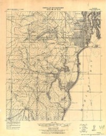
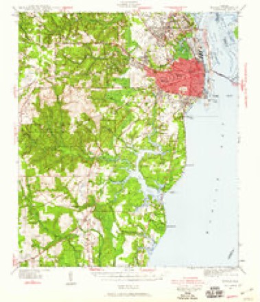
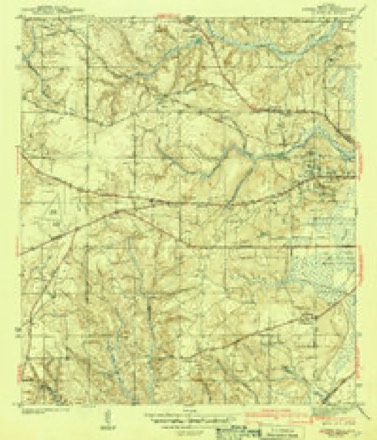
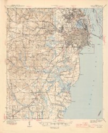
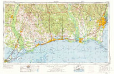
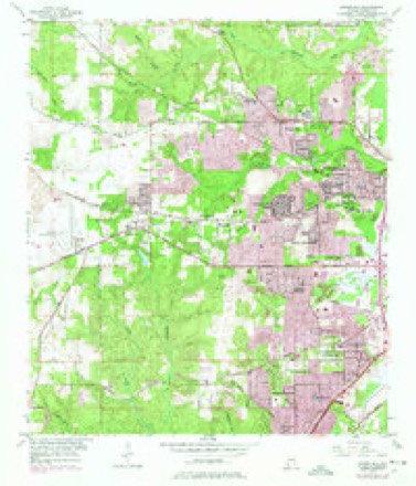
32 topographic sheets cover this place, the earliest surveyed in 1922 and the latest in 1994. It stands in the Mobile census division. It lies in ZIP code area 36693. It stands on Spencer Branch. The Survey maps it on the Spring Hill quadrangle.
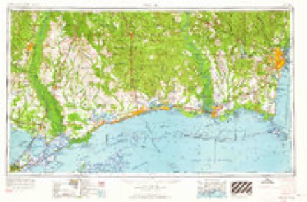
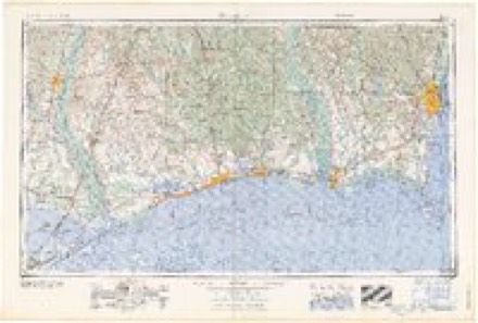
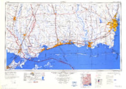
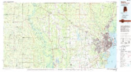
Topographic sheets covering this place
13 surveys from 32 printed sheetsMatched by testing this settlement's coordinate against the published boundary of every sheet in the United States Geological Survey's historical collection. Each opens the scanned sheet at the Survey.
- 1922 USGS Mobile quadrangle1:62500
- 1940 USGS Mobile quadrangle1:62500, 5 printings
- 1943 USGS Spring Hill quadrangle1:31680, 2 printings
- 1944 USGS Mobile quadrangle1:62500, 4 printings
- 1953 USGS Mobile quadrangle1:250000, 3 printings
- 1953 USGS Spring Hill quadrangle1:24000, 6 printings
- 1957 USGS Mobile quadrangle1:250000, 3 printings
- 1960 USGS Mobile quadrangle1:250000
- 1963 USGS Mobile quadrangle1:250000
- 1965 USGS Mobile quadrangle1:250000
- 1984 USGS Mobile quadrangle1:250000, 3 printings
- 1984 USGS Mobile quadrangle1:100000
- 1994 USGS Mobile quadrangle1:100000
Fires near this place
72 since 1994Regional context, not property-specific evidence. The federal wildfire occurrence database lists 72 fires within 5 miles of Cottage Hill between 1994 and 2017, burning about 928 acres in total. 1 started naturally. 31 were recorded as arson. Distance is straight-line from the map coordinates, so a fire counted here may appear on a neighbouring settlement's page as well.
| Reported cause | Fires |
|---|---|
| Arson/incendiarism | 31 |
| Missing data/not specified/undetermined | 23 |
| Debris and open burning | 11 |
| Recreation and ceremony | 3 |
| Equipment and vehicle use | 2 |
| Natural | 1 |
| Misuse of fire by a minor | 1 |
The most recent of them, most recent first, with the day each was reported and the service that recorded it.
| Date | Cause | Size | Reported by | Name on the report |
|---|---|---|---|---|
| 30 September 2000 | Arson/incendiarism | 60 acres | Alabama Forestry Commission | not named |
| 2 September 2015 | Missing data/not specified/undetermined | under an acre | Alabama Forestry Commission | SWR-20150902-001 |
| 18 September 2000 | Arson/incendiarism | 3.0 acres | Alabama Forestry Commission | not named |
| 1 July 2006 | Arson/incendiarism | 2.0 acres | Alabama Forestry Commission | not named |
| 1 July 1998 | Missing data/not specified/undetermined | under an acre | Alabama Forestry Commission | not named |
| 1 July 1998 | Missing data/not specified/undetermined | under an acre | Alabama Forestry Commission | not named |
| 6 June 2011 | Missing data/not specified/undetermined | 16 acres | Alabama Forestry Commission | TODD ACRES, AL |
| 5 June 2011 | Missing data/not specified/undetermined | under an acre | Alabama Forestry Commission | TODD ACRES, AL |
Settlements close enough to share some of these fires:
Mines and quarries near this place
4 within 5 milesRegional context, not property-specific evidence. The federal mineral resources record lists 4 workings within 5 miles of Cottage Hill: 3 producers, 1 past producer. 3 still produce. What was taken out: Sand and Gravel, Construction, Silica, Clay. Distance is straight-line from the map coordinates, so a quarry counted here may appear on a neighbouring settlement's page as well.
| Where | Site | Commodity | Status | Recorded |
|---|---|---|---|---|
| Halls Mill Pit | Silica | Producer | Unconsolidated Sediments | |
| Harrison Pit | Clay | Past Producer | ||
| Halls Mill Pit | Sand and Gravel, Construction | Producer | ||
| Unnamed Quarry | Sand and Gravel, Construction | Producer | Quartz |
Storms near this place
26 since 1997Regional context, not property-specific evidence. The National Weather Service names Cottage Hill in 26 storm reports between 1997 and 2025: 11 thunderstorm wind, 8 flash flood, 2 lightning, 2 tornado. No death or injury is recorded in these reports. Each account below is quoted exactly as the forecast office filed it, from the NOAA Storm Events Database, and each date opens the federal record of that event.
| When | Event | Place named | Harm | What the report says |
|---|---|---|---|---|
| January 2017 | Thunderstorm Wind | Cottage Hill | $300,000 | Approximately 40 cars were damaged at a car dealership near Interstate 65 and Government Boulevard. |
| July 2006 | Lightning | Cottage Hill | $40,000 | Lightning stuck a home in west Mobile. The strike caused a fire in the attic of the home and the roof was heavily damaged by the fire. |
| April 2019 | Thunderstorm Wind | Cottage Hill | $25,000 | High winds downed several large trees along Westbury Drive and downed a tree on a home on Cottage Hill Road and another home on Longleaf Road. |
| April 2019 | Thunderstorm Wind | Cottage Hill | $20,000 | High winds downed multiple trees on residences. |
| June 2003 | Thunderstorm Wind | Cottage Hill | $20,000 | High winds from a thunderstorm damaged some buildings at a baseball park. Most of the damage was to light weight buildings. A telephone pole and a few trees were also blown down. |
| January 2017 | Lightning | Cottage Hill | $10,000 | House fire on Cortez Drive due to a lightning strike. |
| June 2019 | Flash Flood | Cottage Hill | $5,000 | A slow moving, severe thunderstorm produced flash flooding in oarts of west Mobile and Midtown Mobile, particularly along and just north and south of Airport Blvd. Several vehicles were stranded due to the flooded roads. |
| June 2003 | Thunderstorm Wind | Cottage Hill | $5,000 | High winds from thunderstorms blew down several trees near Cottage Hill. |
| May 2016 | Thunderstorm Wind | Cottage Hill | $3,000 | Severe thunderstorm wind gusts blew down trees near Emelda Drive and Pleasant Valley Road. |
| July 1997 | Thunderstorm Wind | Cottage Hill | $3,000 | Several trees were blown down in the western part of Mobile county near Cottage Hill. |
| September 2015 | Thunderstorm Wind | Cottage Hill | $2,000 | Winds estimated at 60 mph downed a tree on Cottage Hill Road between Azalea Road and Demetropolis Roads. |
| May 2025 | Flash Flood | Cottage Hill | - | Several reports on social media of water rescues and flooded roads near I-65 and in downtown Mobile. |
| August 2024 | Thunderstorm Wind | Cottage Hill | - | High winds downed a large tree down in Country Club Woods subdivision off Airport Blvd near Azalea Road. |
| January 2024 | Thunderstorm Wind | Cottage Hill | - | Siding ripped off the side of a hotel in the McGowan Park area. Numerous pictures and videos via social media. |
| July 2024 | Flash Flood | Cottage Hill | - | Heavy rain caused flooding on Montlimar Drive adjacent to Briquettes. |
| July 2024 | Flash Flood | Cottage Hill | - | Heavy rain caused flooding on Bel Air Blvd neat Bel Air Mall. |
| May 2022 | Hail | Cottage Hill | - | Quarter size hail reported via social media. |
| August 2022 | Flash Flood | Cottage Hill | - | Heavy rain caused flooding near the intersection of Airport Blvd and University Blvd near the Publix. |
| April 2021 | Thunderstorm Wind | Cottage Hill | - | Several trees snapped in half along with downed fences. |
| September 2021 | Flash Flood | Cottage Hill | - | Heavy rain caused the intersection to flooded at Hillcrest and Grelot Roads. |
| August 2018 | Flash Flood | Cottage Hill | - | Stalled vehicles along Cottage Hill Road due to water over the road. |
| August 2017 | Flash Flood | Cottage Hill | - | Heavy rain caused water over the roadway at US 90 and Azalea Road. |
| August 2016 | Flood | Cottage Hill | - | Multiple reports of water covered roads in downtown Mobile. |
| December 2012 | Tornado (EF1) | Cottage Hill | - | The tornado initially touched down along Michael Boulevard producing|EF-0 damage (winds estimated up to 85 mph) where it damaged the roof|of the YMCA and produced moderate damage to the Davidson High School|baseball field. The tornado continued moving northeast|strengthening as it moved across Montlimar Boulevard producing EF-1|damage (from winds estimated at 86 to 110 mph) to several businesses|on the southwest corner of the Interstate 65/Airport Boulevard|intersection. The tornado circulation widened to near 75 yards as|it moved northeast affecting numerous homes through midtown mobile,|blowing large sections of roofs off of several homes, snapping or|blowing over numerous trees. Here the storm produced damages|estimated in the millions of dollars to local businesses (including|significant amounts of damage to the facility and inventory of a|Mercedes Benz dealership). Also impacted was the regional American|Red Cross headquarters in Mobile where significant damage to the|roof and damage to several support vehicles/trailers was noted. The|tornado continued at EF-1 strength as it tracked northeast into the|city of Prichard doing similar damage, before weakening and|dissipating along U.S. Highway 43 at Woodland Avenue. |
| October 2010 | Tornado (EF1) | Cottage Hill | - | The tornado touched down at the corner of Bomar Place and Michael Boulevard (30.670618 deg. latitude and -88.153471 deg. longitude) where the damage assessment team found one home with roof damage, and 4 other homes with minor gutter and fascia damage. Several trees suffered damage by being snapped off at the top or losing several large limbs. Wind estimates at this location were approximately 65 mph based on the damage seen. The width of the path at this location was approximately 100 yards.||The second damage point the team found was at the corner of Michael Boulevard and Azalea Road (30.6705 deg latitude and -88.1494 deg Longitude). At this location the path widened to approximately 150 Yards and the circulation intensified. Meteorologists here found evidence of winds near 92 mph with sections of roofing missing from 2 restaurants (one a McDonald's) and 1 car-wash. Several windows were blown out of the McDonald's restaurant. A Chevron gas station next door had several pumps blown over with metal panels blown away from the metal canopy. Damage at this location was estimated to be in the EF-1 range of the Enhanced Fujita Scale.||The intensity of the damage weakened at the Cabana Apartments (between Azalea Road and Downtowner Boulevard at 30.6714 deg latitude and 88.1428 deg longitude). Here the team found minor damage to some pine trees with sections of large limbs stripped out. Wind estimates at this point were near 65 mph with a path width of 80 yards.||The tornado re-intensified at the Festival Center between Downtowner Boulevard and Montlimar Drive (30.6724 deg Latitude and -88.1387 deg longitude). Here the team found damage at 2 buildings in the Festival Center where sections of roofing were blown off. On the roof of Virginia College, 6 large air conditioning units (HVAC) were damaged and blown off of their mounts. One of the air conditioning units was blown off of the 2 story roof and landed in the parking lot in front of Virginia College. Wind estimates based on the damage observed indicated winds near 108 MPH at this location, or EF-1 on the Enhanced Fujita Scale. ||The tornado lifted near Montlimar Drive between the Home Depot and Sonic Restaurant at 30.671745 deg latitude and -88.133328 deg longitude. At this location minor tree damage (large limbs stripped out of pine trees) was observed along with a section of a large metal sign being damaged at the Sonic. Winds were estimated to be near 70 mph at this location. ||Interviews of individuals at the damage sites and a post-analysis of NWS doppler radar data from Mobile suggests the storm passed through the area between 417 AM CST and 421 AM CST. No injuries were reported to the National Weather Service from this short lived tornado. Total dollar damage estimates are not available. |
| October 2006 | Funnel Cloud | Cottage Hill | - | A funnel cloud was observed near the intersection of University and Cottage Hill. The funnel never touched down. |
Nearest settlements
The eight closest, with where each one stands in the county. Distances are straight-line, computed from the Geographic Names Information System coordinates.
| Map | Place | Distance | Sheets |
|---|---|---|---|
| Burma Hills | 0.7 miles | 32 | |
| Belle Chene | 0.8 miles | 32 | |
| Cambridge Estates | 0.9 miles | 32 | |
| Wildwood Heights | 1.1 miles | 32 | |
| El Monte | 1.2 miles | 32 | |
| Eau Claire Estates | 1.3 miles | 32 | |
| Sunset Ranch | 1.3 miles | 32 | |
| Spring Valley | 1.4 miles | 32 |
Provenance
This settlement is recorded in the Geographic Names Information System as feature 116675. The sheet list is computed by point-in-boundary test against the United States Geological Survey's historical topographic inventory. Both are works of the United States government and carry no copyright under 17 U.S.C. 105.
Wildfire. Short, Karen C. 2022. Spatial wildfire occurrence data for the United States, 1992-2020 [FPA_FOD_20221014]. 6th Edition. Fort Collins, CO: Forest Service Research Data Archive. https://doi.org/10.2737/RDS-2013-0009.6 Collected with United States Government funding and usable without additional permissions or fees.
Mines and quarries. USGS Mineral Resources Data System (MRDS) https://mrdata.usgs.gov/mrds/ A work of the United States government, no copyright under 17 U.S.C. 105.
Storms. NOAA National Centers for Environmental Information, Storm Events Database https://www.ncei.noaa.gov/stormevents/ A work of the United States government, no copyright under 17 U.S.C. 105. Narratives are quoted verbatim from the National Weather Service report and are not edited or summarised.