BlockBefore

Mobile County, Alabama

188 topographic sheets and 20 fire insurance atlases across 2 places.

Research this county

From the record

146 National Register listings published here, 4 of them National Historic Landmarks.

Sources: the National Register database, National Park Service

Alabama within the United States
Mobile County within Alabama
Explore by year 1841 1895

What the record shows

  • 2 places in this county were surveyed for fire insurance: Mobile, Citronelle, between 1885 and 1969.
  • 20 fire insurance atlases survive for the county. Topographic coverage is national; fire insurance survey reached only incorporated places with something worth insuring.
  • 5,583 topographic sheet readings cover the county's settlements.
  • 146 properties here are on the National Register of Historic Places: 105 buildings, 34 districts, 3 sites, 3 structures and 1 object.
  • 31 of the 146 listings were added during the 1970s.
  • The Geographic Names Information System records 201 populated places in this county; 201 are covered by at least one topographic sheet.

Photographs

65 photographs, 1937 to 1939

Taken for the Office of War Information and the Farm Security Administration, who photographed the country between 1935 and 1944. Works of United States government photographers, with no known restriction on use. Each opens its catalogue record.
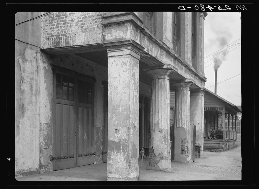
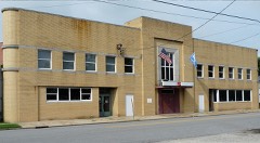
Old firehouse. Mobile, Alabama
Rothstein, Arthur, 1937. Library of Congress
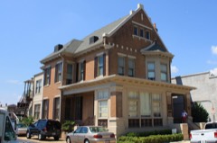
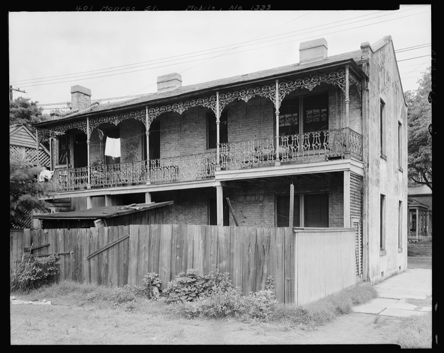
House, 401 Monroe St., rear balcony, Mobile, Mobile County, Alabama
Johnston, Frances Benjamin, 1939. Library of Congress
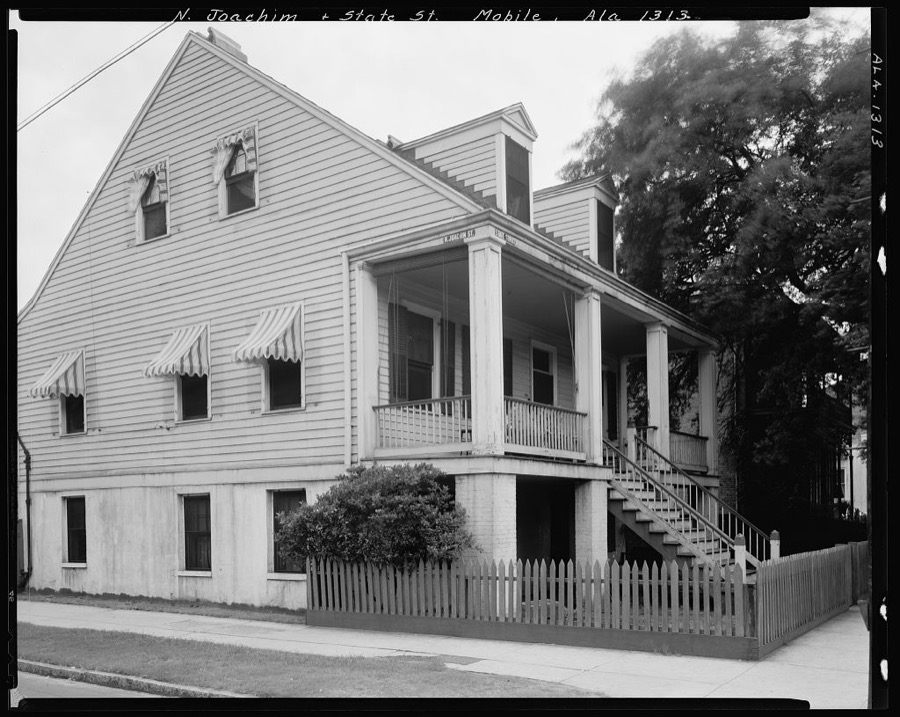
House, N. Joachim & State St., Mobile, Mobile County, Alabama
Johnston, Frances Benjamin, 1939. Library of Congress
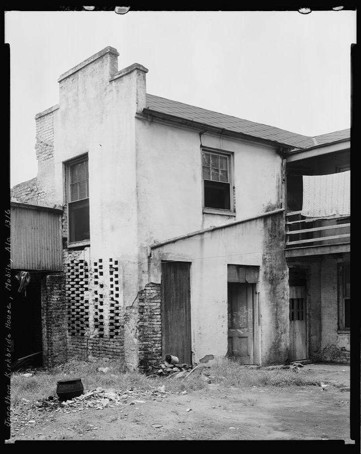
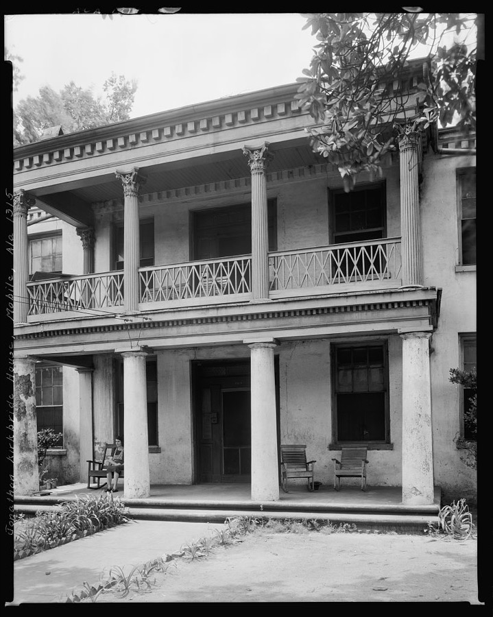
Jonathan Kirkbride House, 104 Theatre St., Mobile, Mobile County, Alabama
Johnston, Frances Benjamin, 1939. Library of Congress
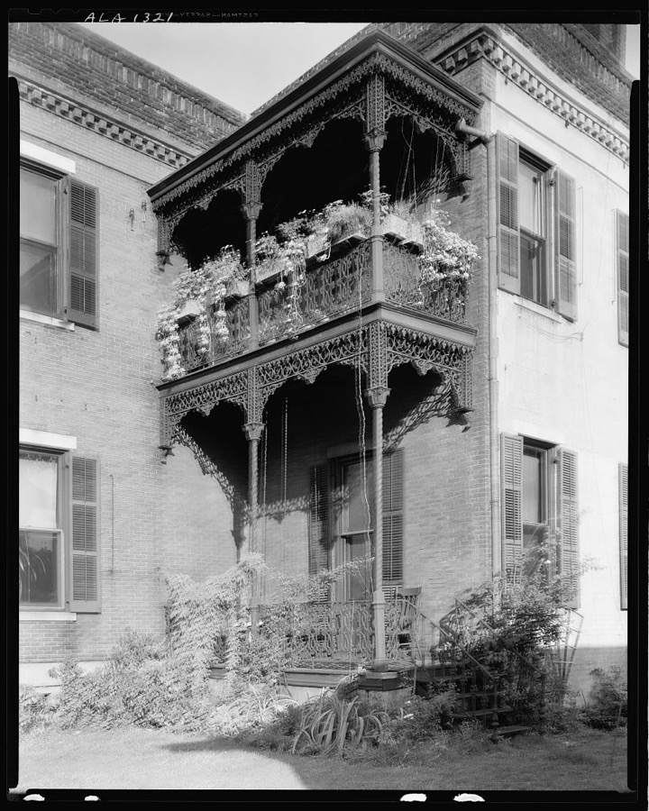
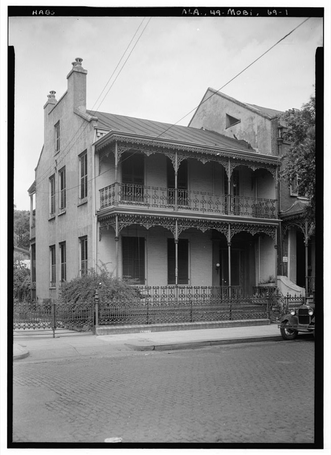
Mme. Le Vert House, 151-153 Government St., Mobile, Mobile County, Alabama
Johnston, Frances Benjamin, 1939. Library of Congress
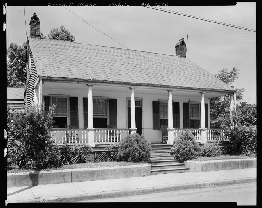
Laronill House, 257 Claiborne St., Mobile, Mobile County, Alabama
Johnston, Frances Benjamin, 1939. Library of Congress
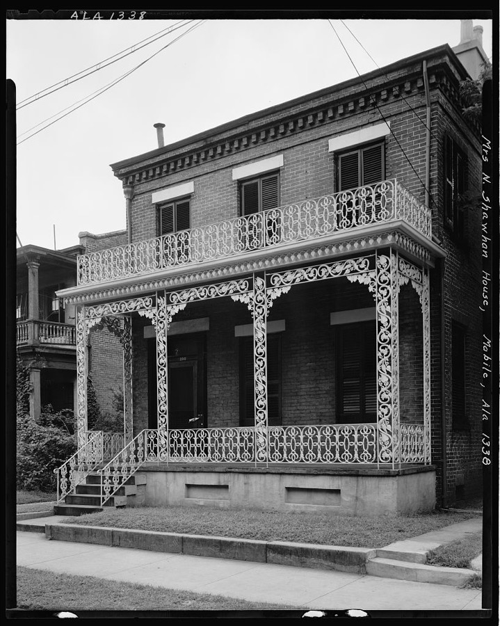
Mrs. N.Shawhan house, 254 N. Conception St., Mobile, Mobile County, Alabama
Johnston, Frances Benjamin, 1939. Library of Congress
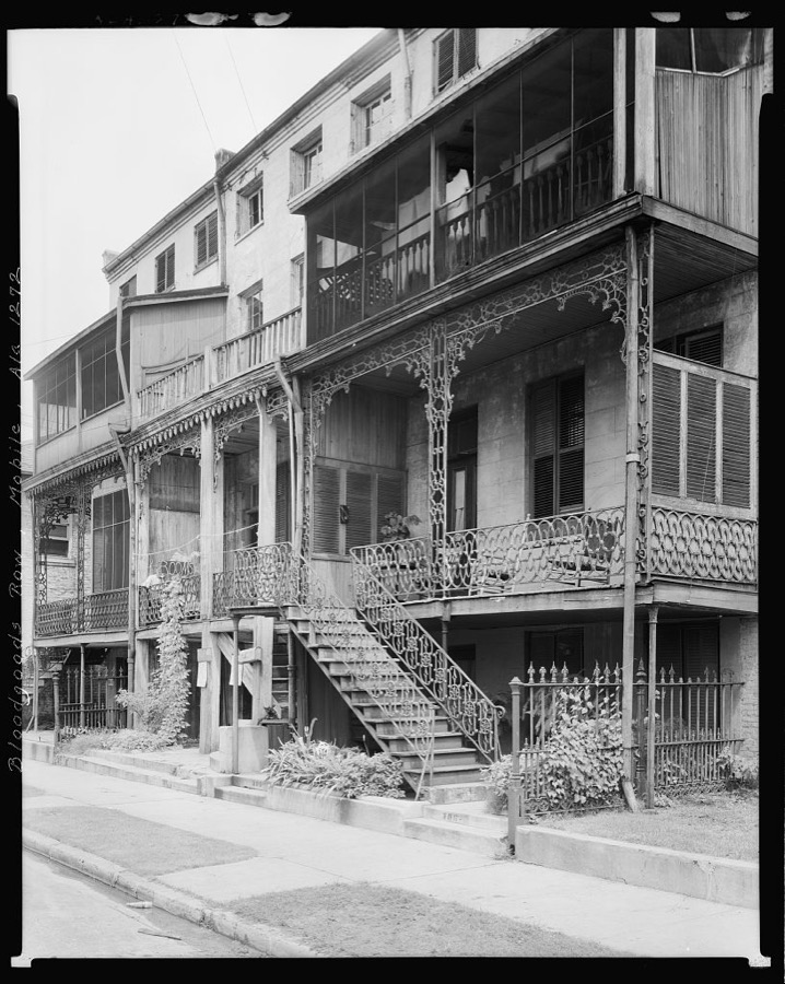
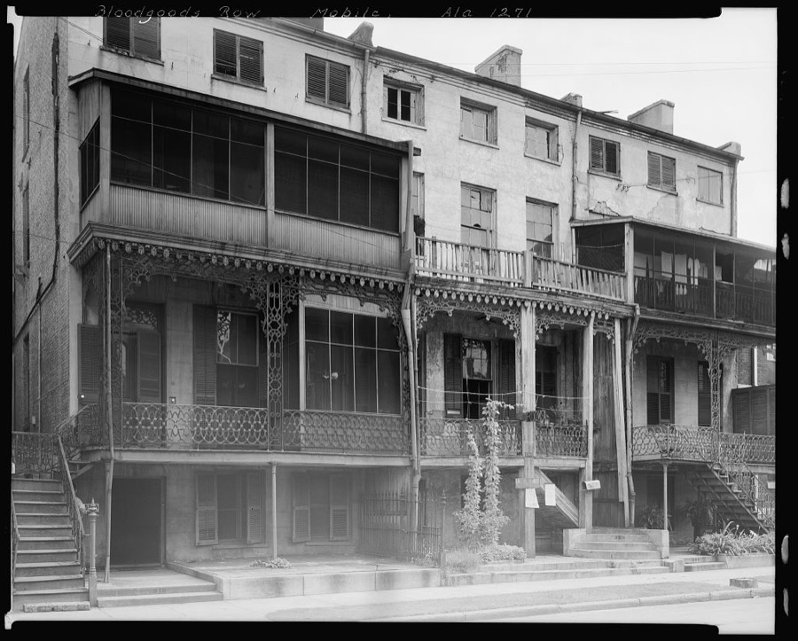
Bloodgoods Row, 306-308-310 Monroe St., Mobile, Mobile County, Alabama
Johnston, Frances Benjamin, 1939. Library of Congress
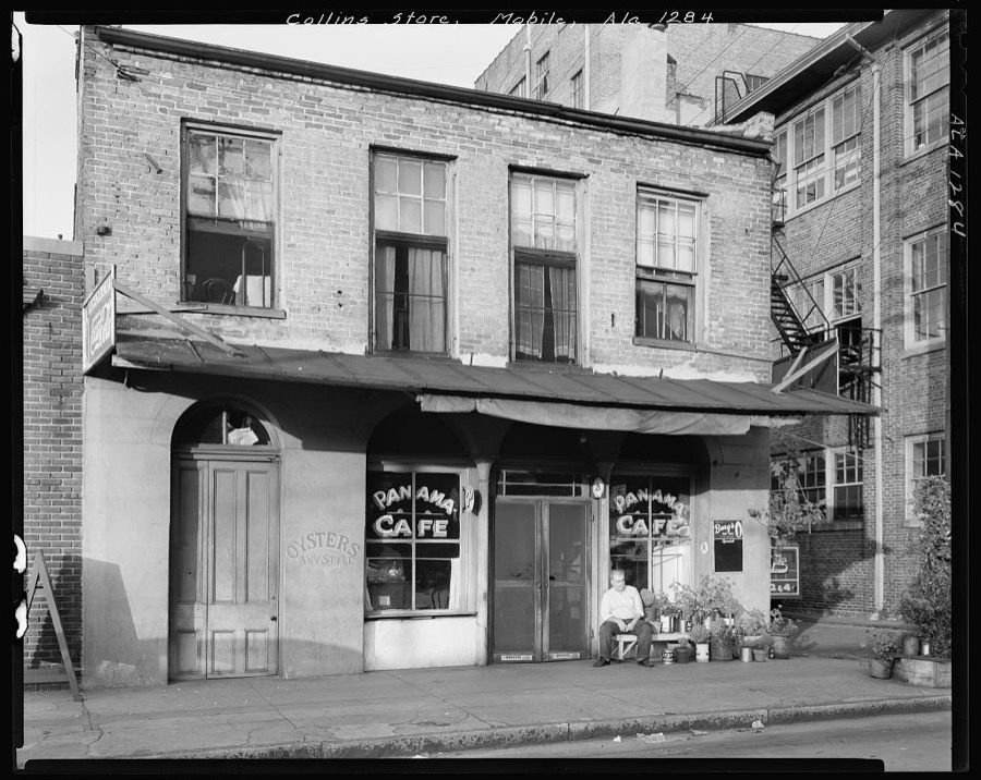
Collins House, Royal St. near St. Louis St., Mobile, Mobile County, Alabama
Johnston, Frances Benjamin, 1939. Library of Congress
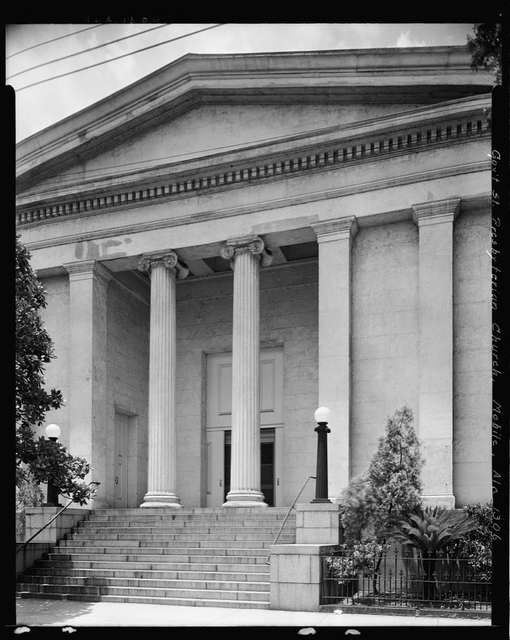
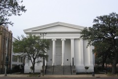
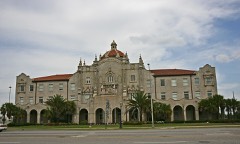
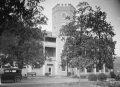
Gov't St. Presbyterian Church, 251 Government St., Mobile, Mobile County, Alabama
Johnston, Frances Benjamin, 1939. Library of Congress
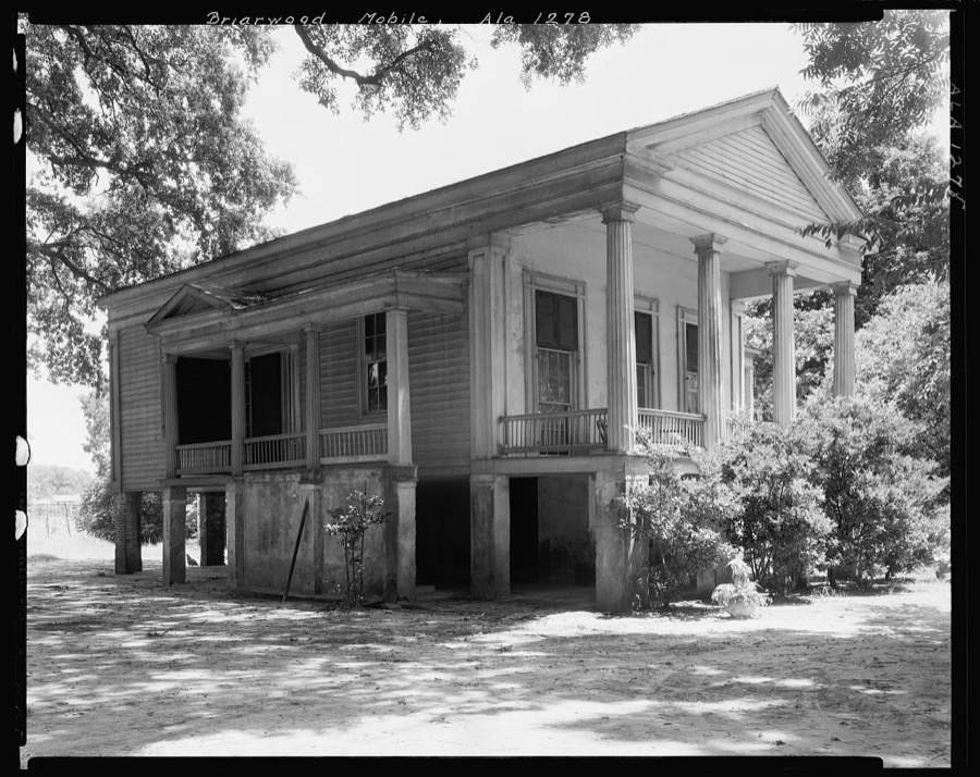
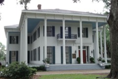
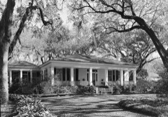
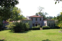
Briarwood, Mobile, Mobile County, Alabama
Johnston, Frances Benjamin, 1939. Library of Congress
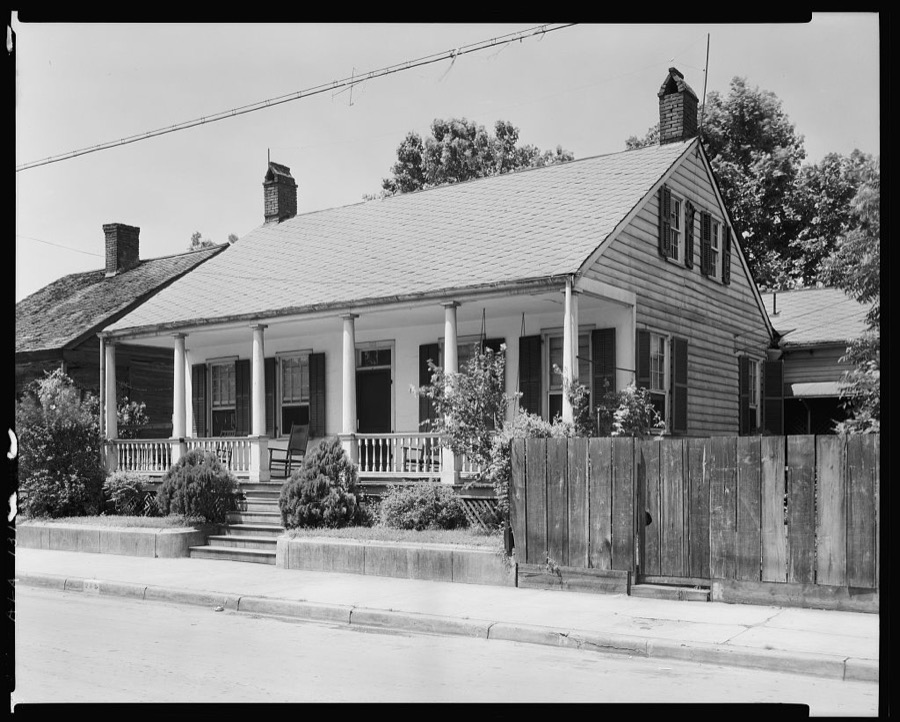
House in Mobile, Alabama
Rothstein, Arthur, 1937. Library of Congress
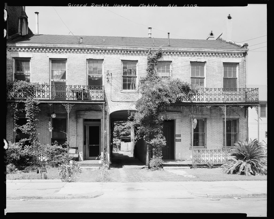
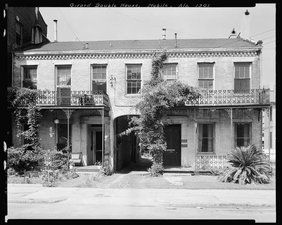
Girard Double House, 56-58 Conception St., Mobile, Mobile County, Alabama
Johnston, Frances Benjamin, 1939. Library of Congress
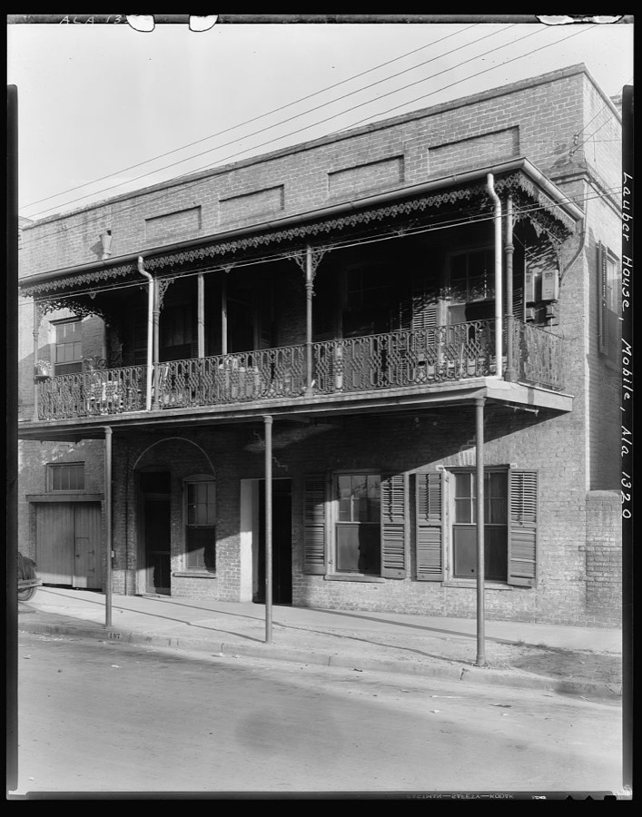
Lauber House, 107 Theatre St., Ironwork, Mobile, Mobile County, Alabama
Johnston, Frances Benjamin, 1939. Library of Congress
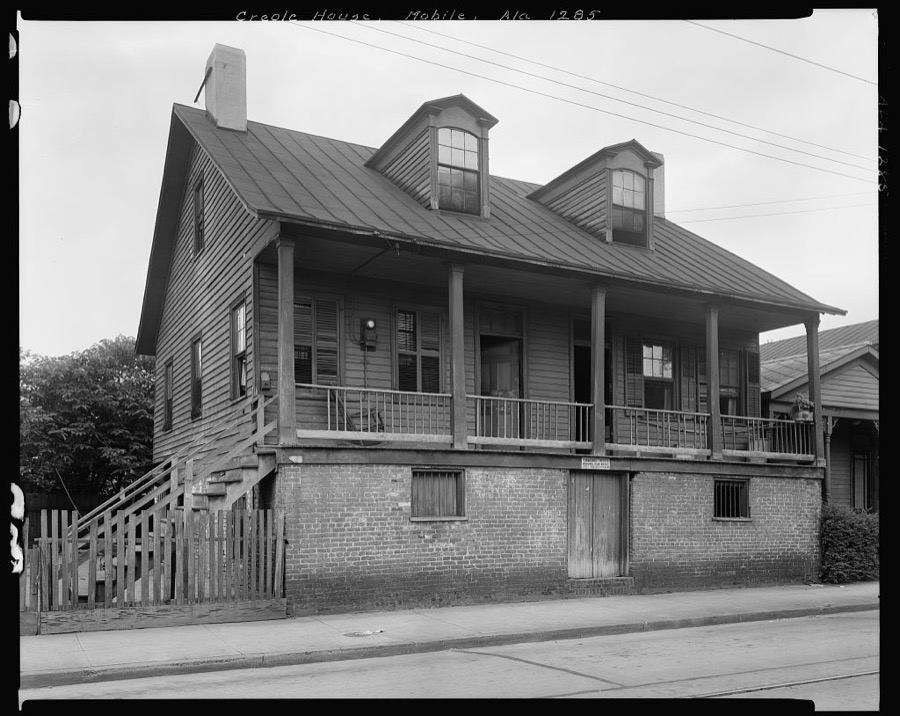
Creole House, 605 St. Francis St., Mobile, Mobile County, Alabama
Johnston, Frances Benjamin, 1939. Library of Congress
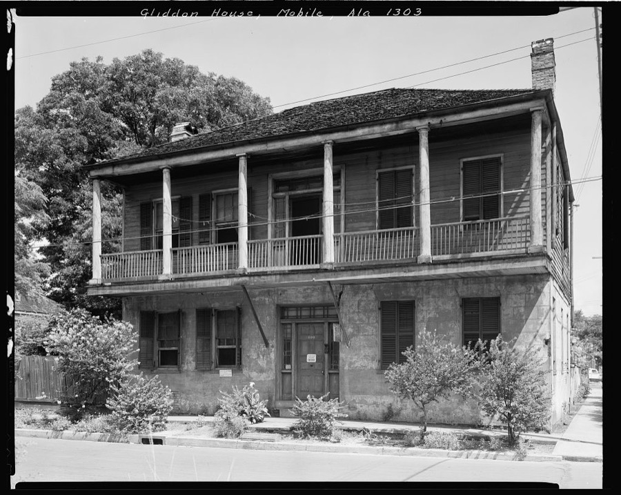
Gliddon House, 400 St. Anthony St., Mobile, Mobile County, Alabama
Johnston, Frances Benjamin, 1939. Library of Congress
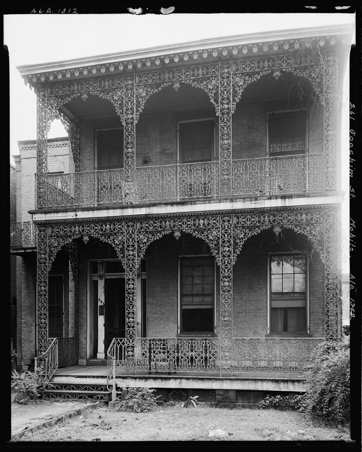
261 Joachim St., Ironwork, Mobile, Mobile County, Alabama
Johnston, Frances Benjamin, 1939. Library of Congress
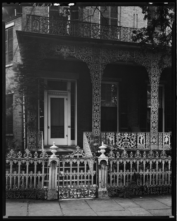
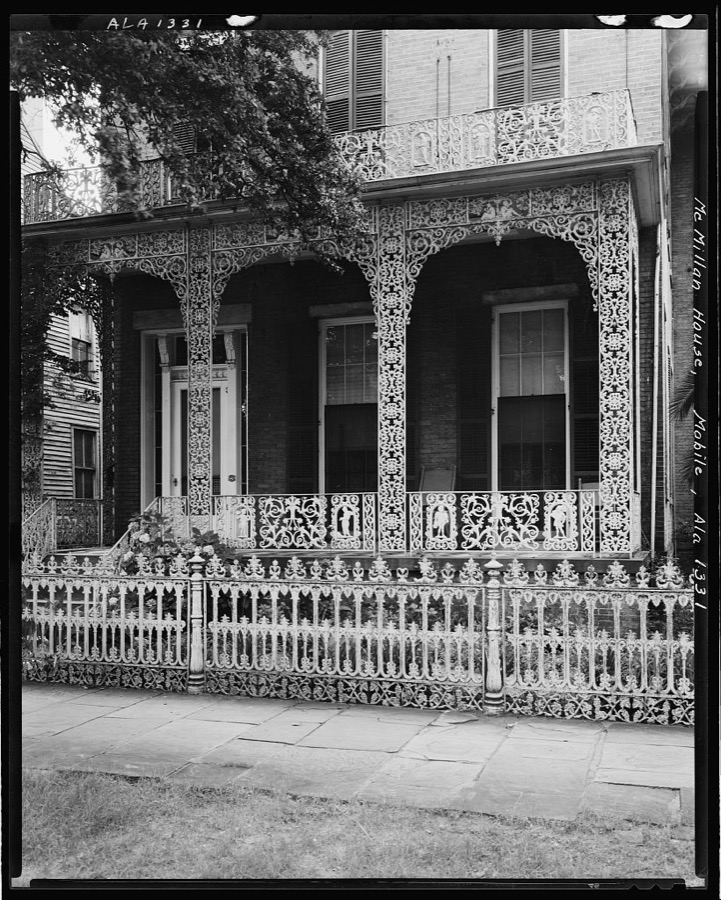
McMillan House, 256 Joachim St., Ironwork, Mobile, Mobile County, Alabama
Johnston, Frances Benjamin, 1939. Library of Congress
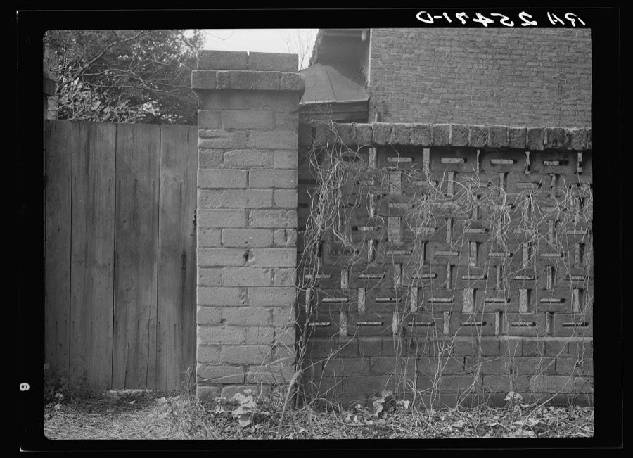
Brick fence. Mobile, Alabama
Rothstein, Arthur, 1937. Library of Congress
Laronill House, 257 Claiborne St., Mobile, Mobile County, Alabama
Johnston, Frances Benjamin, 1939. Library of Congress
House in Mobile, Alabama
Rothstein, Arthur, 1937. Library of Congress
Bloodgoods Row, 306-308-310 Monroe St., Mobile, Mobile County, Alabama
Johnston, Frances Benjamin, 1939. Library of Congress
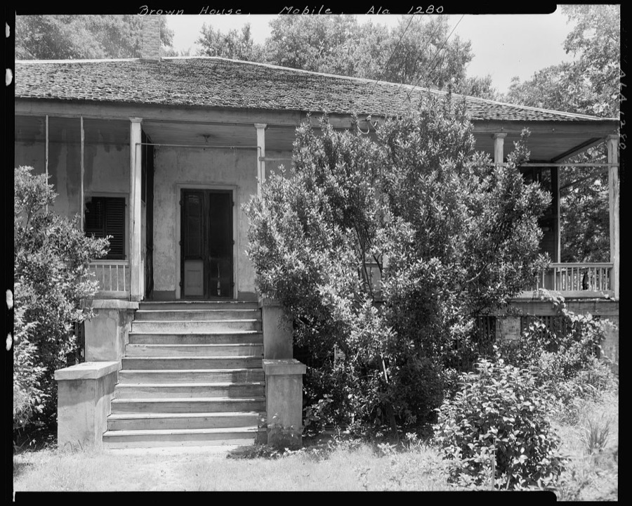
Broun House, off Old Shell Rd., Spring Hill, Mobile County, Alabama
Johnston, Frances Benjamin, 1939. Library of Congress
McMillan House, 256 Joachim St., Ironwork, Mobile, Mobile County, Alabama
Johnston, Frances Benjamin, 1939. Library of Congress
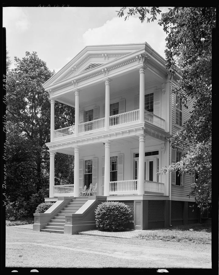
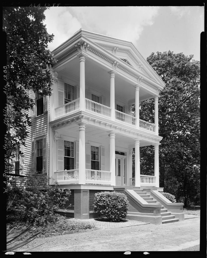
William A. Dawson House, Mobile, Mobile County, Alabama
Johnston, Frances Benjamin, 1939. Library of Congress
Jonathan Kirkbride House, 104 Theatre St., Mobile, Mobile County, Alabama
Johnston, Frances Benjamin, 1939. Library of Congress
Girard Double House, 56-58 Conception St., Mobile, Mobile County, Alabama
Johnston, Frances Benjamin, 1939. Library of Congress
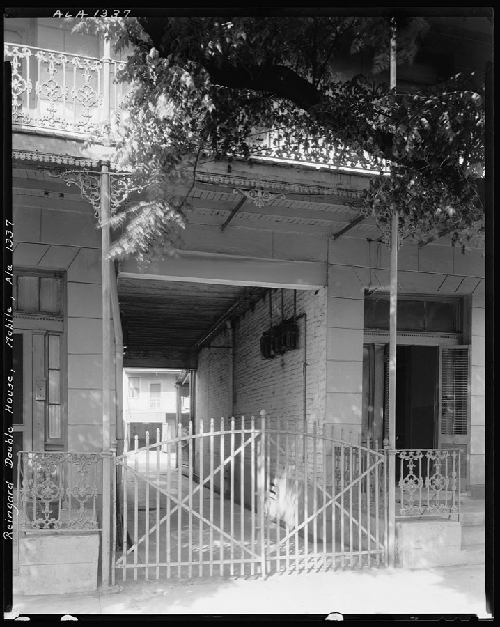
Reingard Double House, 8-10 Jackson St., Mobile, Mobile County, Alabama
Johnston, Frances Benjamin, 1939. Library of Congress
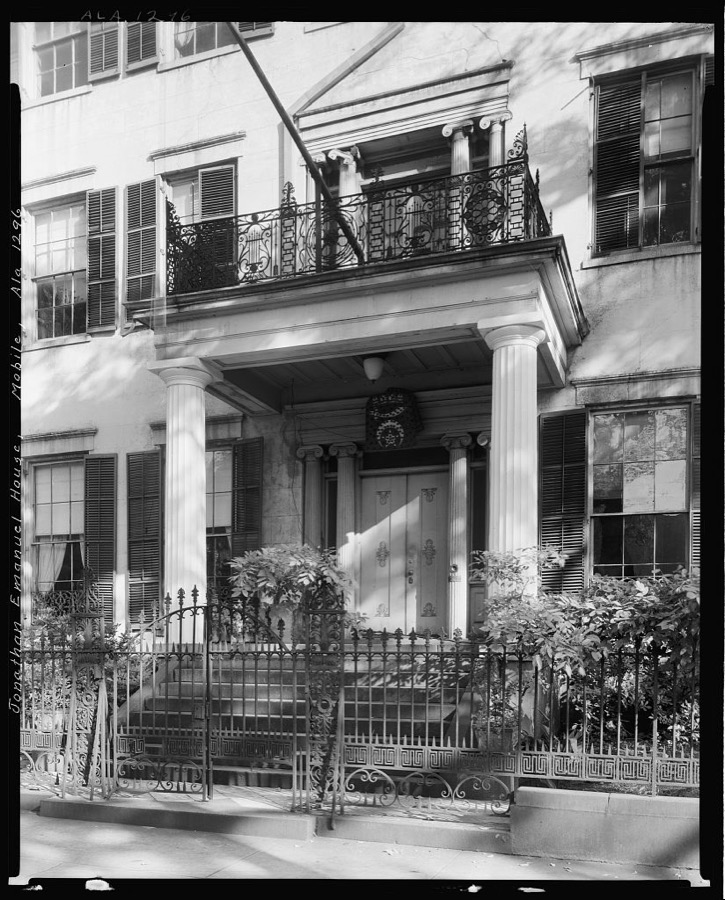
Jonathan Emanuel House, 251 Gov't St. at Joachim, Mobile, Mobile County, Alabama
Johnston, Frances Benjamin, 1939. Library of Congress
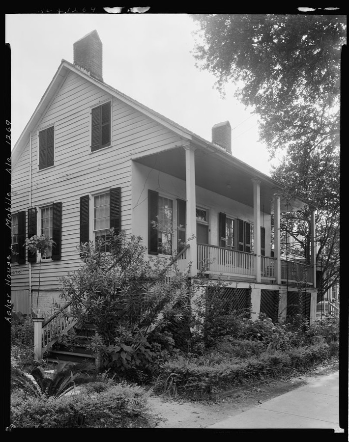
Acker House, 63 Springhill Ave., Mobile, Mobile County, Alabama
Johnston, Frances Benjamin, 1939. Library of Congress
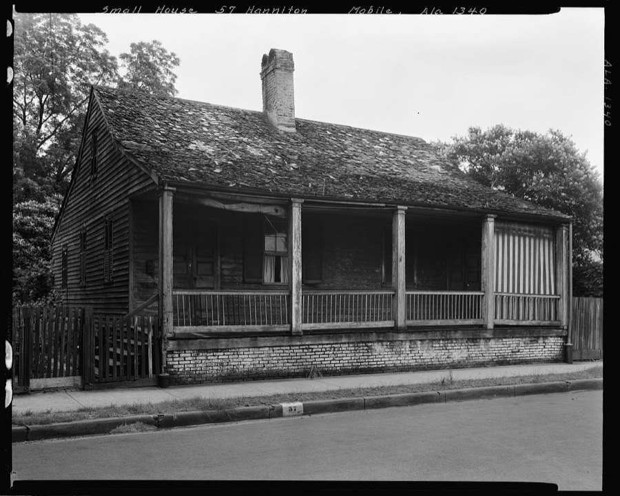
Small house, 57 Hamilton St., Mobile, Mobile County, Alabama
Johnston, Frances Benjamin, 1939. Library of Congress
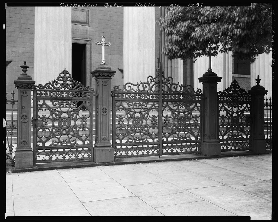
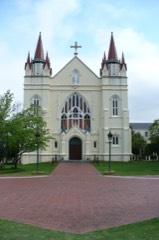
Cathedral of the Immaculate Conception, Gates, Claiborne & Conti Sts., Mobile, Mobile County, Alabama
Johnston, Frances Benjamin, 1939. Library of Congress
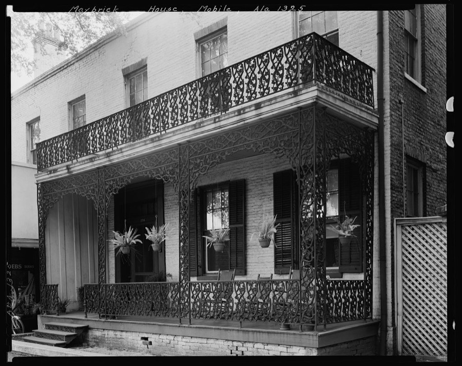
Maybrick House, 254 Government St., Porch, Mobile, Mobile County, Alabama
Johnston, Frances Benjamin, 1939. Library of Congress
Maury Gate, Carter House, Mobile, Mobile County, Alabama
Johnston, Frances Benjamin, 1939. Library of Congress
William A. Dawson House, Mobile, Mobile County, Alabama
Johnston, Frances Benjamin, 1939. Library of Congress
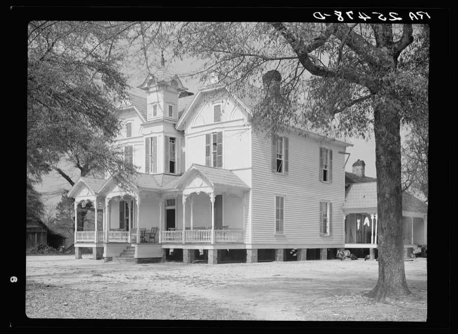
An old house in Mobile, Alabama
Rothstein, Arthur, 1937. Library of Congress
McMillan House, 256 Joachim St., Ironwork, Mobile, Mobile County, Alabama
Johnston, Frances Benjamin, 1939. Library of Congress
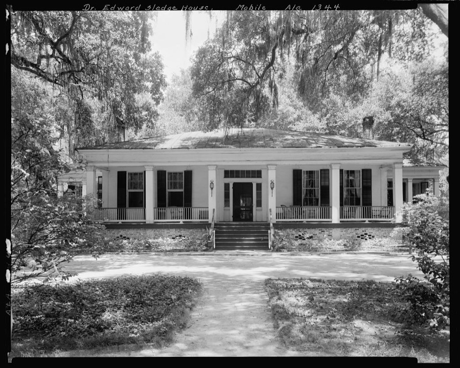
Dr. & Mrs. Edward Sledge House, 2564 Spring Hill Ave., Mobile, Mobile County, Alabama
Johnston, Frances Benjamin, 1939. Library of Congress
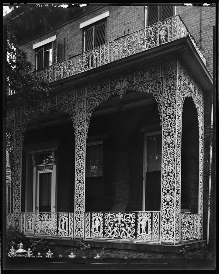
House, 403 Government St., iron work detail, Mobile, Mobile County, Alabama
Johnston, Frances Benjamin, 1939. Library of Congress
Rider House, 303 Conti Street, Mobile, Mobile County, AL
Photographer not recorded. Library of Congress
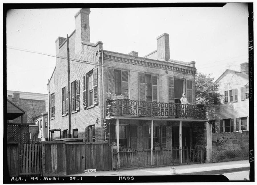
Phillipi-Mastin House, 53 North Jackson Street, Mobile, Mobile County, AL
Photographer not recorded. Library of Congress
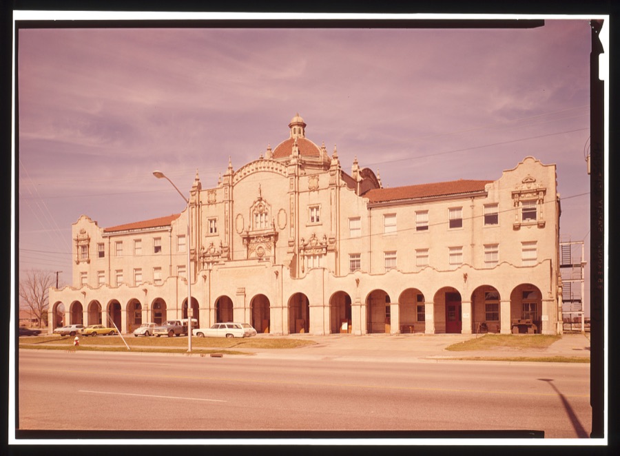
Gulf, Mobile & Ohio Railroad, Passenger Terminal, Beauregard Street & Telegraph Road, Mobile, Mobile County, AL
Photographer not recorded. Library of Congress
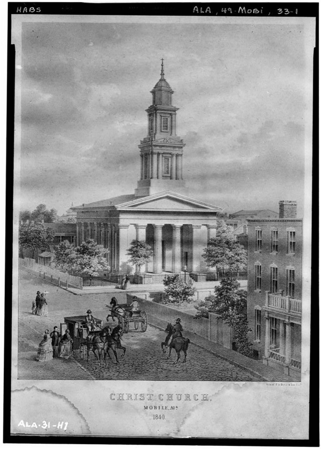
Christ Episcopal Church, Church & Saint Emanuel Streets, Mobile, Mobile County, AL
Photographer not recorded. Library of Congress
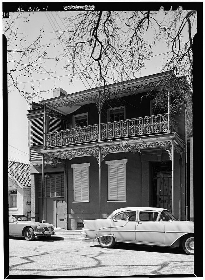
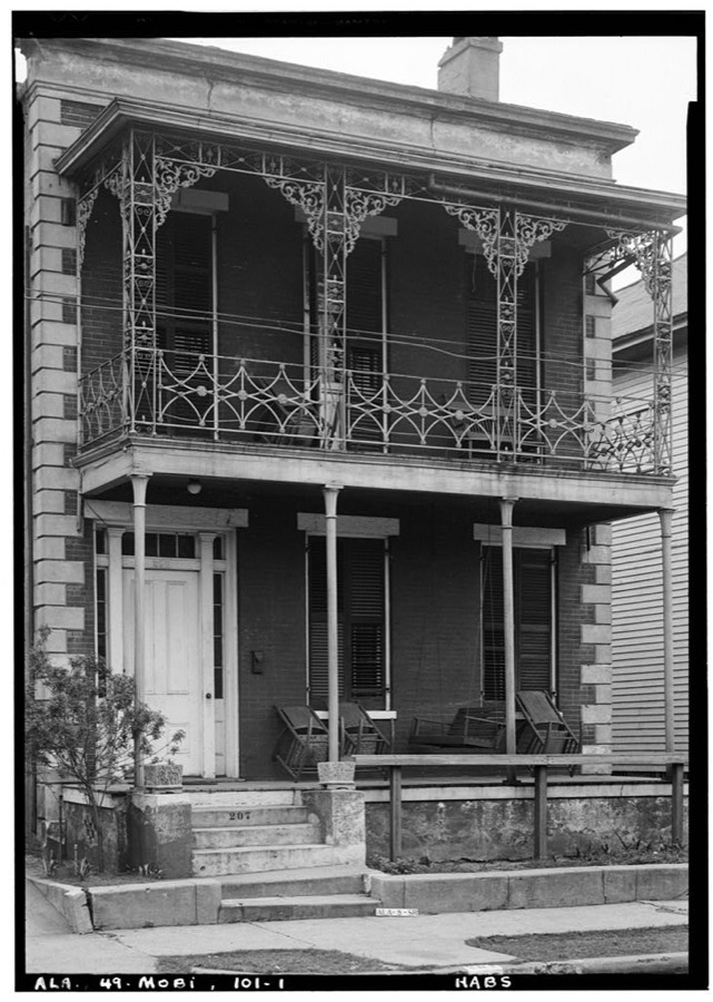
207 South Conception Street (House), Mobile, Mobile County, AL
Photographer not recorded. Library of Congress
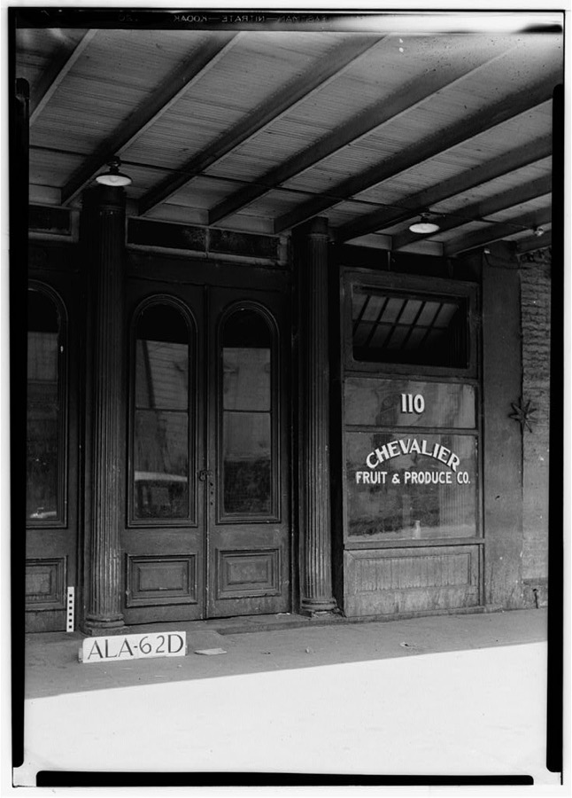
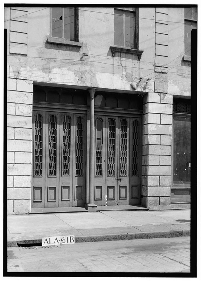
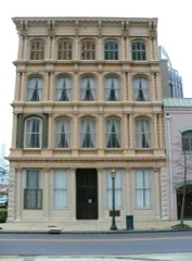
110 Government Street (Commercial Building), Mobile, Mobile County, AL
Photographer not recorded. Library of Congress
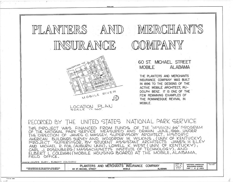
Planters & Merchants Insurance Company, 60 Saint Michael Street, Mobile, Mobile County, AL
Photographer not recorded. Library of Congress
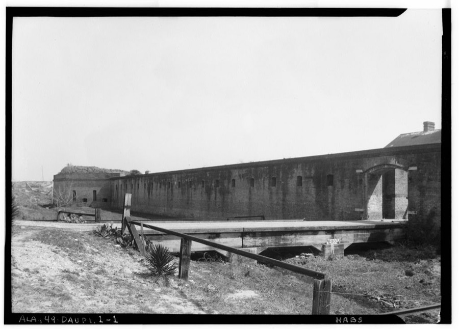
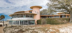
Fort Gaines, Pelican Point, Dauphin Island, Mobile County, AL
Photographer not recorded. Library of Congress
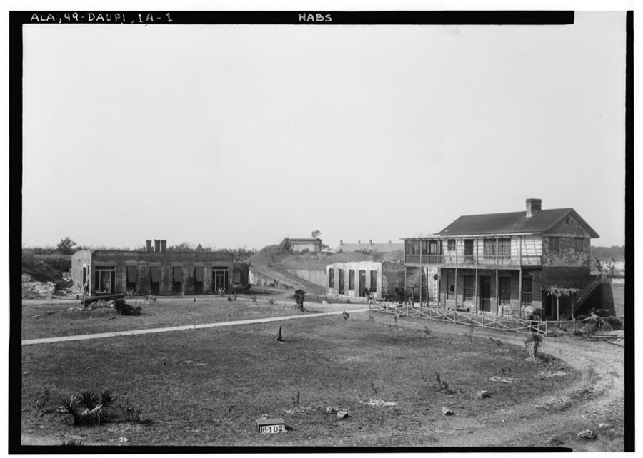
Fort Gaines, Officers' Quarters & Barracks, Dauphin Island, Mobile County, AL
Photographer not recorded. Library of Congress
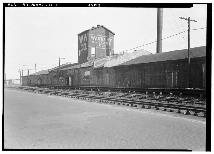
Magnolia Cotton Warehouse, Lipscomb & Magnolia Streets, Mobile, Mobile County, AL
Photographer not recorded. Library of Congress
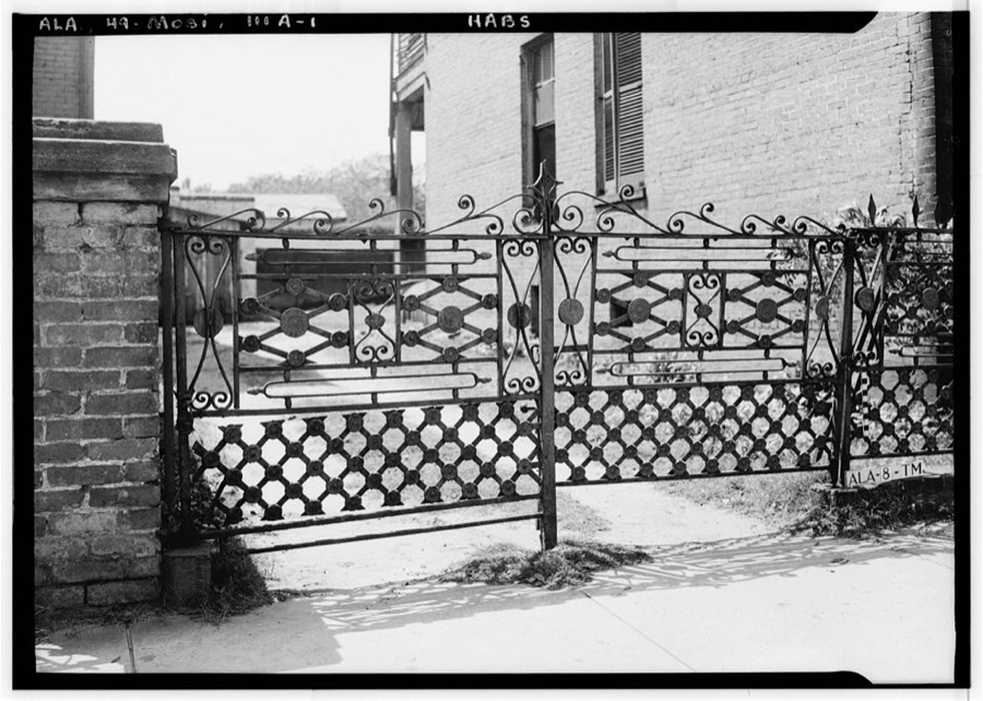
253 Saint Joseph Street (Iron Gate), Mobile, Mobile County, AL
Photographer not recorded. Library of Congress
The Sledge Place, 54 South Jackson Street, Mobile, Mobile County, AL
Photographer not recorded. Library of Congress
Waring House, Stables, 108 South Claiborne Street, Mobile, Mobile County, AL
Photographer not recorded. Library of Congress
Doctor Henderson House, 12 North Jackson Street, Mobile, Mobile County, AL
Photographer not recorded. Library of Congress
Commercial Building, Exchange Alley, Mobile, Mobile County, AL
Photographer not recorded. Library of Congress
Gibbons-Torry House, Gate & Privy, 60 South Conception Street, Mobile, Mobile County, AL
Photographer not recorded. Library of Congress
House at 50 South Franklin Street, Mobile, Mobile County, AL
Photographer not recorded. Library of Congress
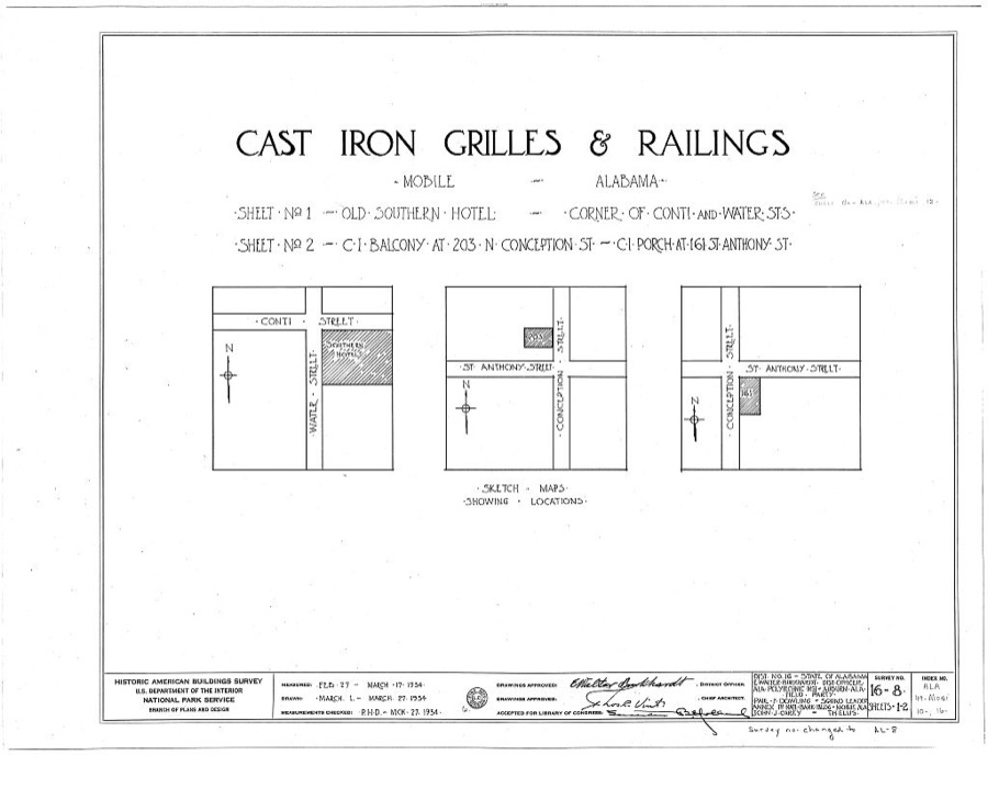
Cast Iron Grilles & Railings, Mobile, Mobile County, AL
Photographer not recorded. Library of Congress
Cox-Deasy House, 1115 Palmetto Street, Mobile, Mobile County, AL
Photographer not recorded. Library of Congress
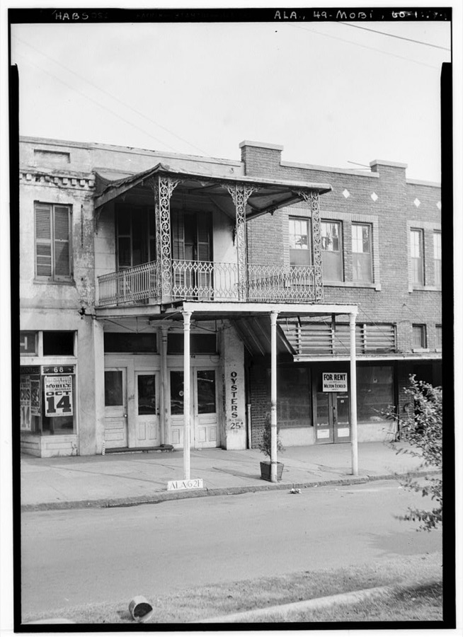
66 Government Street (Commercial Building), Mobile, Mobile County, AL
Photographer not recorded. Library of Congress
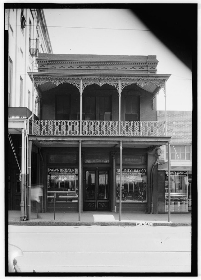
23 South Royal Street (Commercial Building), Mobile, Mobile County, AL
Photographer not recorded. Library of Congress
Convent of the Visitation, Section B, Spring Hill Avenue, Mobile, Mobile County, AL
Photographer not recorded. Library of Congress
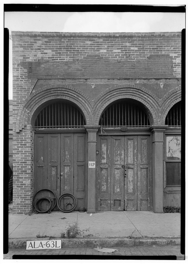
117 North Commerce Street (Commercial Building), Mobile, Mobile County, AL
Photographer not recorded. Library of Congress
652 Saint Francis Street (House), Mobile, Mobile County, AL
Photographer not recorded. Library of Congress
Wilson-Gibbs House, 1012 Palmetto Street, Mobile, Mobile County, AL
Photographer not recorded. Library of Congress
2 Dauphin Street (Commercial Building), Mobile, Mobile County, AL
Photographer not recorded. Library of Congress

Places on the National Register

146

Every property in this county listed on the National Register of Historic Places, with the year it was listed and the federal nomination document.

Photograph PropertyType ListedReference
558 Conti St.building198484000668
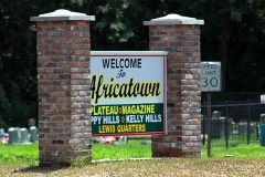
Africatown Historic Districtdistrict201212000990
Aimwell Baptist Churchbuilding200808000458
Ashland Place Historic Districtdistrict198787000935
Wade Askew Housebuilding199191000858
Hiram B. Austin Housebuilding198888000106
Automobile Alley Historic Districtdistrict201616000400
Automobile Alley Historic District (Boundary Increase)district2023100009107
Azalea Court Apartmentsbuilding198888000108
Barr's Subdivision Historic Districtdistrict199089002452
Barton Academybuilding197070000107
Battle House Royalebuilding197575000322
Beal-Gaillard Housebuilding198484000078
Bellingrath Gardens and Homedistrict198282001609
Bishop Manor Estatebuilding198585000255
Blue Bird Hardware and Seedbuilding2018100002768
Bragg-Mitchell Housebuilding197272000168
Brisk & Jacobson Storebuilding197373000361
Caldwell Schoolbuilding201111000898
Campground, Thedistrict200505000648
Carlen Housebuilding198181000131
Carolina Hallbuilding197373000362
Cavellero Housebuilding198282001610
Center-Gaillard Housebuilding198484000081
Central Core Historic Districtdistrict199089002424
Chickasaw Shipyard Village Historic Districtdistrict200404000924
Church Street East Historic Districtdistrict197171000102
Church Street East Historic District (Boundary Increase)district200505000289
Church Street Historic District (Boundary Increase)district198484000663
Citronelle Railroad Historic Districtdistrict199089002421
Willis G. Clark Housebuilding199089002454
U. J. Cleveland Housebuilding199393000420
Coley Buildingbuilding198282001611
Collins-Marston Housebuilding198484000083
Collins-Robinson Housebuilding198484000087
Common Street Districtdistrict198282002058
Conde-Charlotte Museum Housebuilding197373000363
Convent and Academy of the Visitationdistrict199291000844
Convent of Mercybuilding199291000845
D'Iberville Apartmentsbuilding200404000925
Dahm Housebuilding198484000665
Dauphin Island Schoolbuilding2018100001878
Davis Avenue Branch, Mobile Public Librarybuilding198383003459
Davis Avenue Recreation Centerbuilding201111000407
Davis-Oak Grove Districtdistrict198888000445
De Tonti Square Historic Districtdistrict197272000169
Denby Housebuilding198484000668
Ellicott Stoneobject197373000359
Emanuel AME Churchbuilding198787000853
Emanuel Buildingbuilding197878000503
George Fearn Housebuilding199191000855
Fire Station No. 5building198383003462
First National Bankbuilding197878000504
Fort Conde-Charlottesite196969000033
Fort Gainesbuilding197676000348
Charles Denby Garrison Sr. Housebuilding200909000693
Gates-Daves Housebuilding197474000427
Georgia Cottagebuilding197272000170
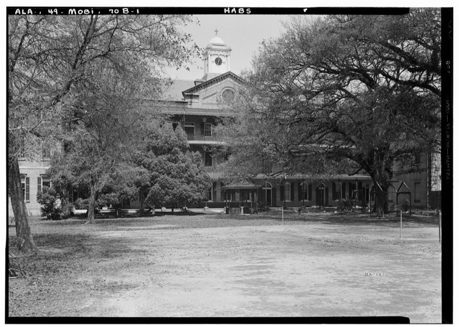
Government Street Presbyterian Churchbuilding199292001885
Grand Bay Historic Districtdistrict199090000918
Greene-Marston Housebuilding198383002966
Gulf, Mobile, and Ohio Passenger Terminalbuilding197575000323
Hawthorn Housebuilding198484000671
Martin Horst Housebuilding197171000103
Hunter Housebuilding198585000446
International Longshoreman's Association Hallbuilding201111000408
Isle Dauphine Clubbuilding201716000815
Joseph Jossen Housebuilding199292000628
Kirkbride Housebuilding197373000363
Ross Knox Housebuilding200808001252
Lafayette Heights Historic Districtdistrict201414001004
George Leatherbury Housebuilding199090000917
Leinkauf Historic Districtdistrict198787000936
George Levy Housebuilding199191000861
Martin Lindsey Housebuilding199190002176
Lower Dauphin Street Commercial Districtdistrict2019100001307
Lower Dauphin Street Commercial District (Boundary Increase II)district199595000779
Lower Dauphin Street Commercial District (Boundary Increase III)district199898001027
Lower Dauphin Street Historic Districtdistrict197979000392
Lower Dauphin Street Historic District (Boundary Increase)district198282002059
Jacob Magee Housebuilding198888000112
Magnolia Cemetery including Mobile National Cemeterysite198686003757
Maysville Historic Districtdistrict201313000959
Meaher-Zoghby Housebuilding198484000672
Ernest Megginson Housebuilding199191000860
Metzger Housebuilding198484000675
Middle Bay Lightstructure197474000429
Midtown Historic Districtdistrict200101001293
Miller-O'Donnell Housebuilding198282002060
Mobile City Hallbuilding196969000034
Mobile City Hospitalbuilding197070000108
Mobile Seamen's Club Buildingbuilding100004131
Monterey Placebuilding198484000680
James Arthur Morrison Housebuilding199191000863
Mount Vernon Arsenal-Searcy Hospital Complexdistrict198888000676
Mt. Olive Missionary Baptist Church No.1building200808000459
Murphy High Schoolbuilding198282001612
Neville Housebuilding198484000682
Oakdale Historic Districtdistrict201414001005
Oakleighbuilding197171000104
Oakleigh Garden Historic Districtdistrict197272000171
Oakleigh Garden Historic District (Boundary Decrease & Additional Documentation)district201616000863
Oakleigh Garden Historic District (Boundary Increase)district199190002175
Old Dauphin Way Historic Districtdistrict198484000686
Paterson Housebuilding198686001065
J. E. Paterson Housebuilding199191000859
Dave Patton Housebuilding198787000937
Pfau-Creighton Cottagebuilding198484000120
Phillipi Housebuilding198484000689
Pincus Buildingbuilding197676000345
Bishop Portier Housebuilding197070000109
Protestant Children's Homebuilding197373000364
Roberts Housebuilding199494000789
Saint Francis Xavier Roman Catholic Churchbuilding199191000842
Saint Joseph's Roman Catholic Churchbuilding199191000841
Saint Matthew's Catholic Churchbuilding199191000840
Saint Paul's Episcopal Chapelbuilding198484000123
Saint Vincent de Paulbuilding199291000839
Scottish Rites Templebuilding198484000694
Raphael Semmes Housebuilding197070000110
Sodality Chapelbuilding198484000122
South Lafayette Street Creole Cottagesbuilding197676000346
Robert L. Spotswood Housebuilding199191000854
Spring Hill College Quadranglebuilding197373000365
St. Francis Street Methodist Churchbuilding198484000690
St. Louis Street Missionary Baptist Churchbuilding197676000347
State Street A.M.E. Zion Churchbuilding197878000505
Amelia Stewart Housebuilding199292000629
Stewartfieldbuilding198484000124
Stone Street Baptist Churchbuilding198585001749
Stone Street Cemeterysite199191000843
Tanner Farmhousebuilding200808000429
N. Q. and Virginia M. Thompson Housebuilding199089002453
Trinity Episcopal Churchbuilding199090001240
Tschiener Housebuilding198282002061
Turner-Todd Motor Companybuilding200808000460
U.S. Marine Hospitalbuilding197474000428
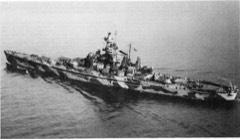
USS ALABAMA (battleship)structure198686000083
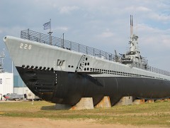
USS DRUM (submarine)structure198686000086
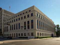
United States Court House and Custom Housebuilding200808000964
Arthur VanderSys Housebuilding199191000857
Jacob VanderSys Housebuilding199191000862
Vickers and Schumacher Buildingsbuilding198383003474
Joseph M. Walker Housebuilding199191000856
Weems Housebuilding198282001613
Wilmer Halldistrict2025100012074

Digitised newspapers

10 issues

Sampled issues, machine-read from the Library of Congress scan and published page by page, so every headline and column is searchable text.

Mobile Daily Commercial Register and Patriot

Mobile, Ala., 1834 to 1841. Machine-read from the Library of Congress scan.

Mobile Register and Journal

Mobile, Ala., 1841 to 1849. Machine-read from the Library of Congress scan.

Bird's-eye views and land ownership maps

1

Drawn when these were printed as single large sheets: the town seen from the air, and the county divided into its farms with every owner named. Each opens the original at the Library of Congress.

Land ownership map, 1895 - Township and sectional map of Mobile County, State of Alabama : compiled and drawn from the most reliable and recent data : showing the railroads, public roads, school houses, Old Spanish & other grants, etc., etc
Land ownership map (1895) - Township and sectional map of Mobile County, State of Alabama : compiled and drawn from the most reliable and recent data : showing the railroads, public roads, school houses, Old Spanish & other grants, etc., etc. Library of Congress.

Photographs from libraries nationwide

16 of 63 shown

Selected from the Digital Public Library of America's 63 image records catalogued for this county. Every one shown here carries a public-domain status or a licence that permits reuse on a site that carries advertising; non-commercial, share-alike and restricted images are excluded. The selection is spread across the county's towns (at most eight per town), so no single institution's bulk upload crowds out the rest. Each opens the holding library's record, and the complete set at the Digital Public Library of America is one click away.

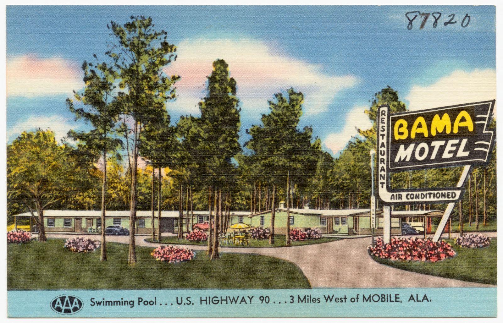
Bama Motel & Restaurant, Boston Public Library - undated
Bama Motel & Restaurant. Boston Public Library, via the Digital Public Library of America.
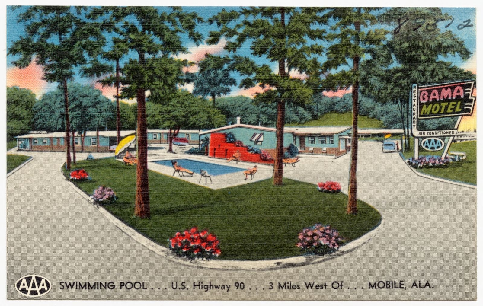
Bama Motel & Restaurant, Boston Public Library - undated
Bama Motel & Restaurant. Boston Public Library, via the Digital Public Library of America.
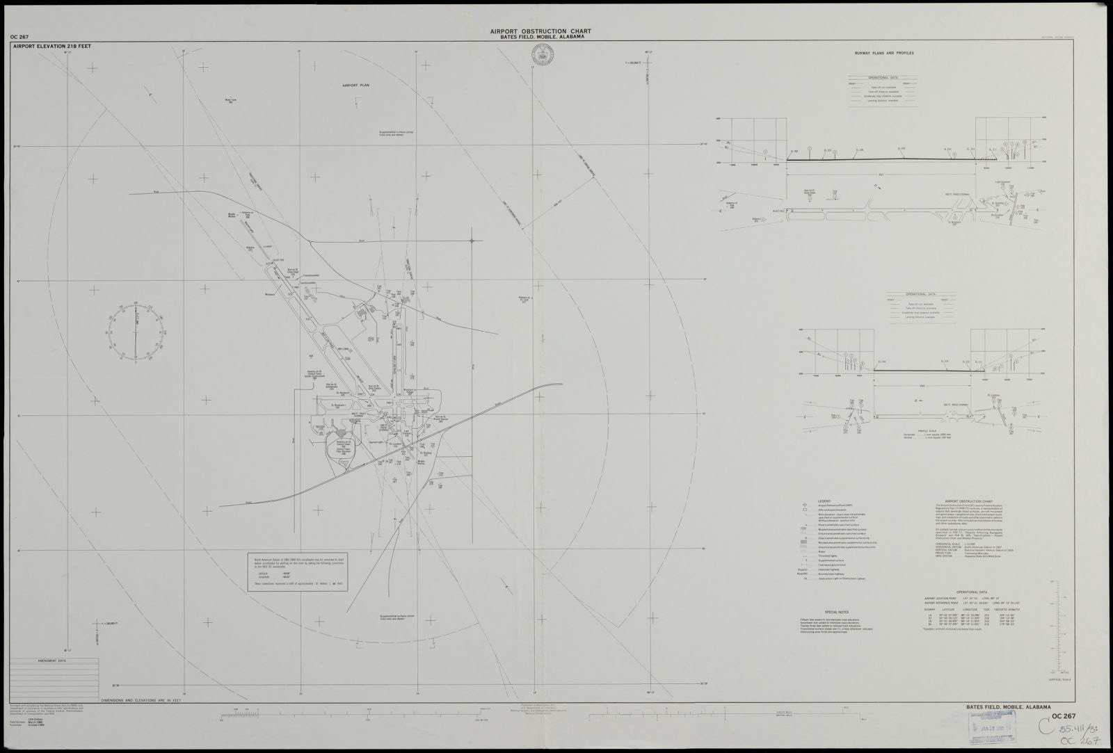
Airport obstruction chart OC 267, Bates Field Mobile, Alabama, Boston Public Library - undated
Airport obstruction chart OC 267, Bates Field Mobile, Alabama. United States. National Ocean Service, Boston Public Library, via the Digital Public Library of America.
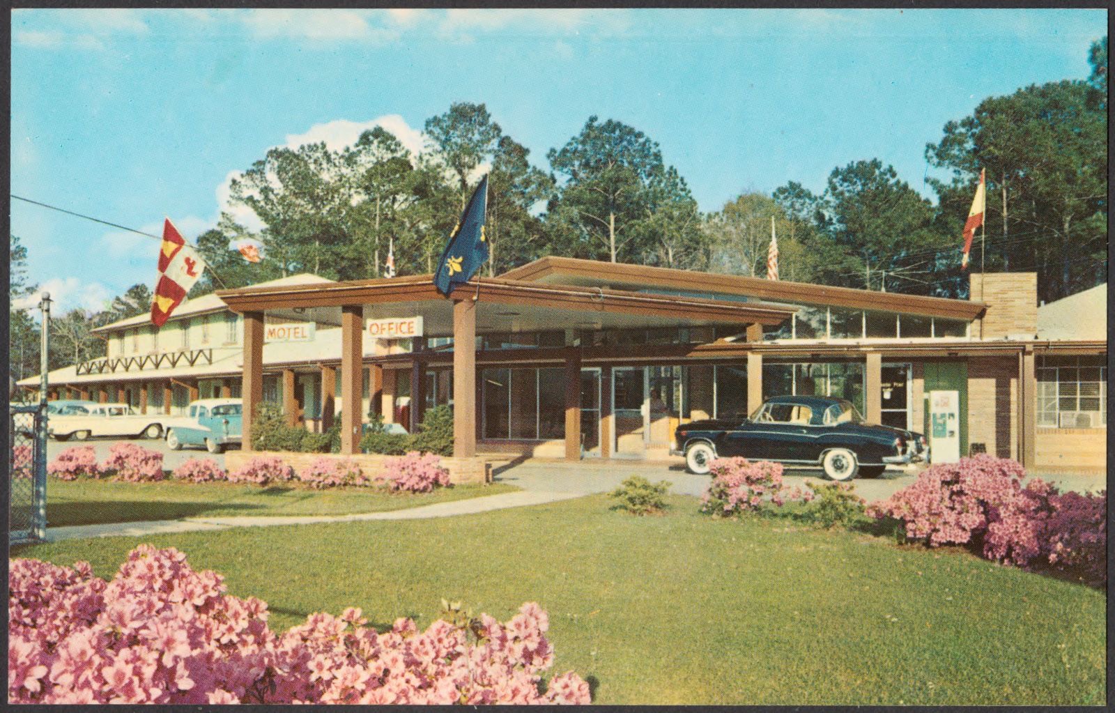
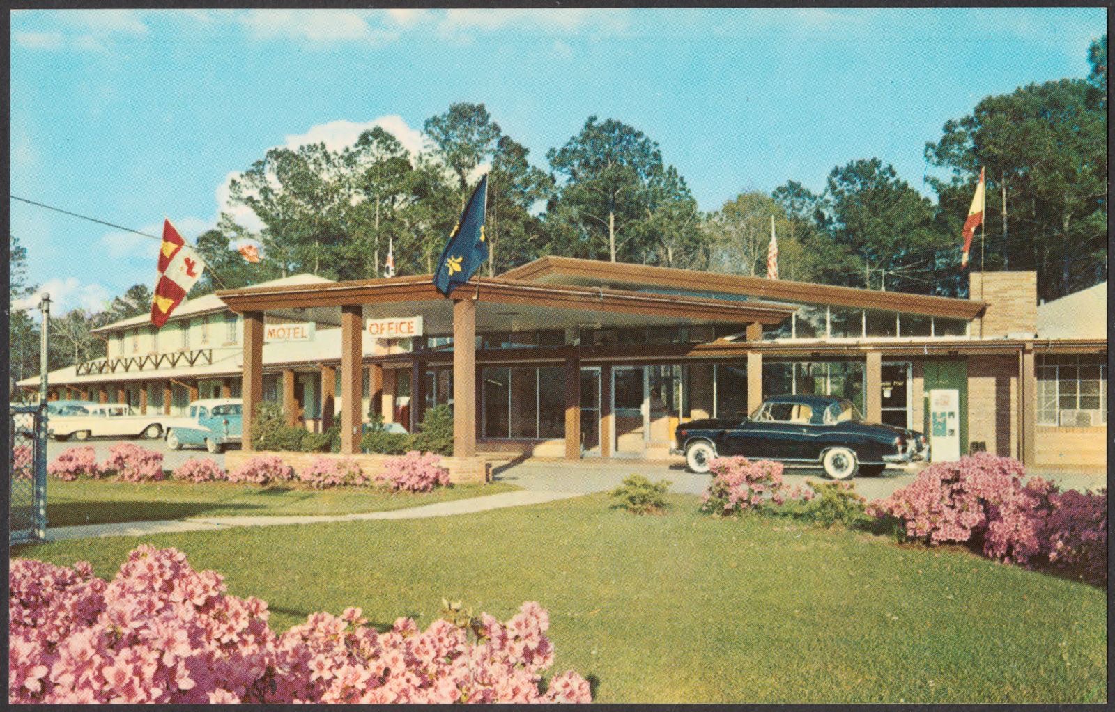
Spanish Fort Motel is located on a spacious, beautifully landscaped grounds, 8 miles E. of Mobile, Ala., Boston Public Library - undated
Spanish Fort Motel is located on a spacious, beautifully landscaped grounds, 8 miles E. of Mobile, Ala.. Boston Public Library, via the Digital Public Library of America.
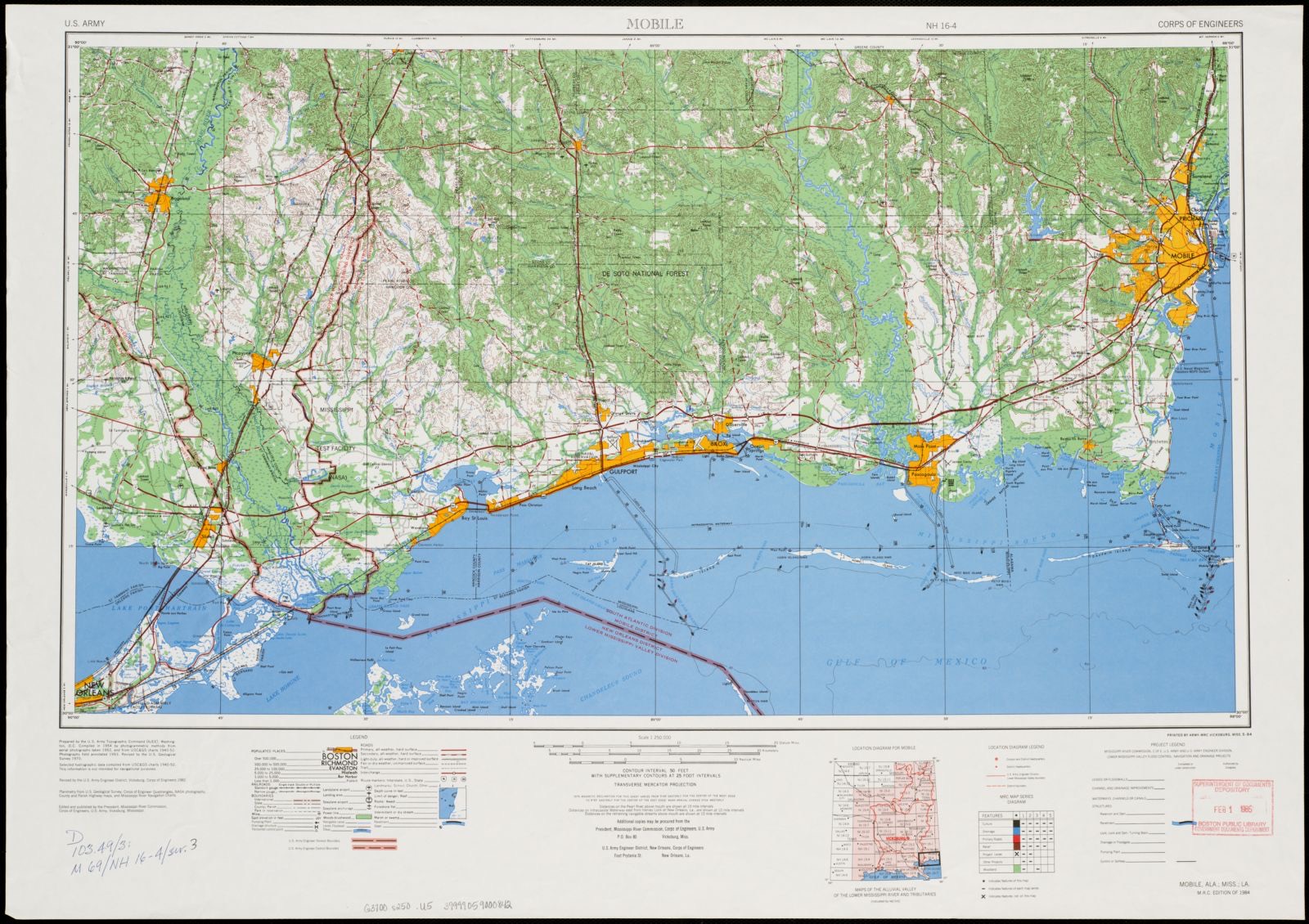
Mobile, Boston Public Library - undated
Mobile. United States. Mississippi River Commission, Boston Public Library, via the Digital Public Library of America.
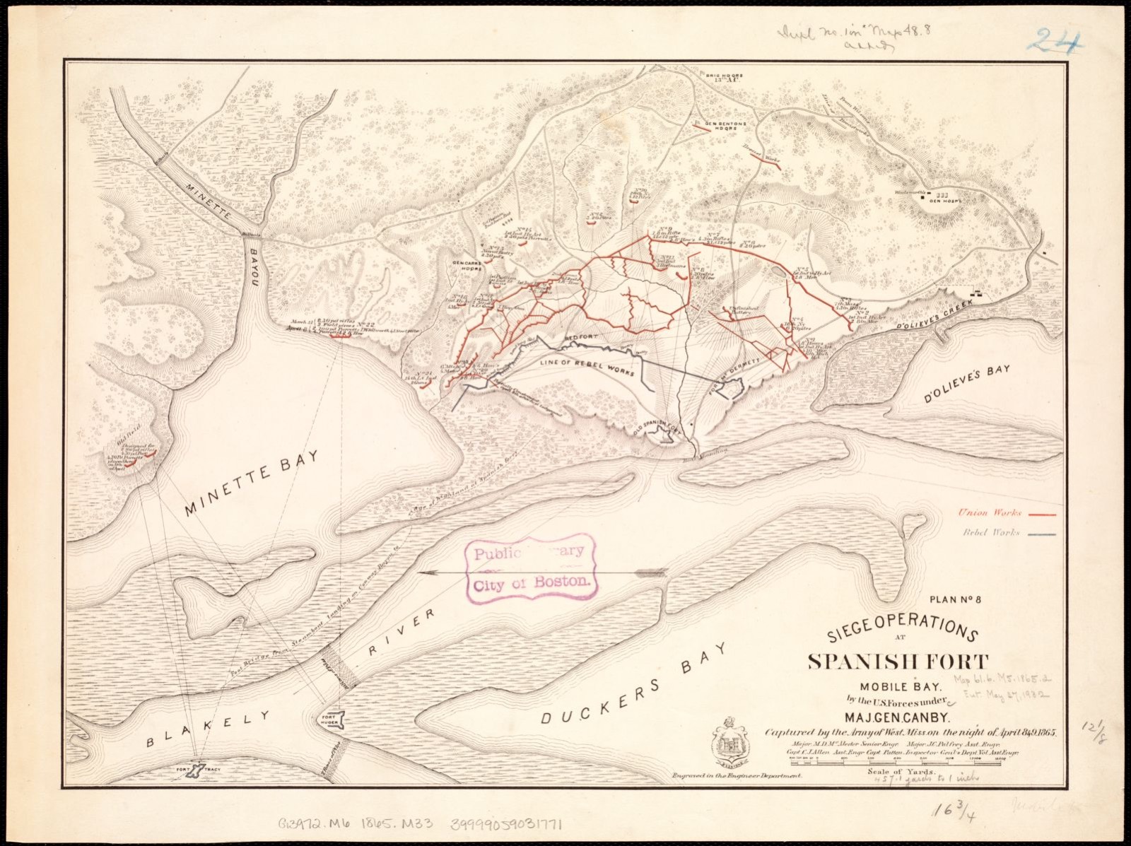
Siege operations at Spanish Fort, Mobile Bay by the U.S. forces under Maj. Gen. Canby. Captured by the Army of West Miss. on the night of April 8 & 9, 1865, Boston Public Library - undated
Siege operations at Spanish Fort, Mobile Bay by the U.S. forces under Maj. Gen. Canby. Captured by the Army of West Miss. on the night of April 8 & 9, 1865. McAlester, M. D, Boston Public Library, via the Digital Public Library of America.
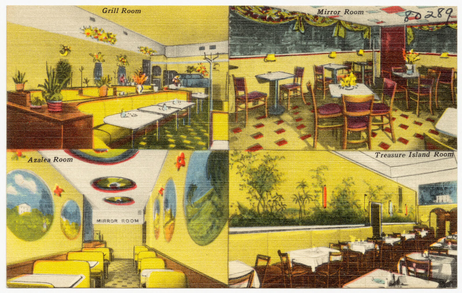
Azalea Grill, Boston Public Library - undated
Azalea Grill. Boston Public Library, via the Digital Public Library of America.
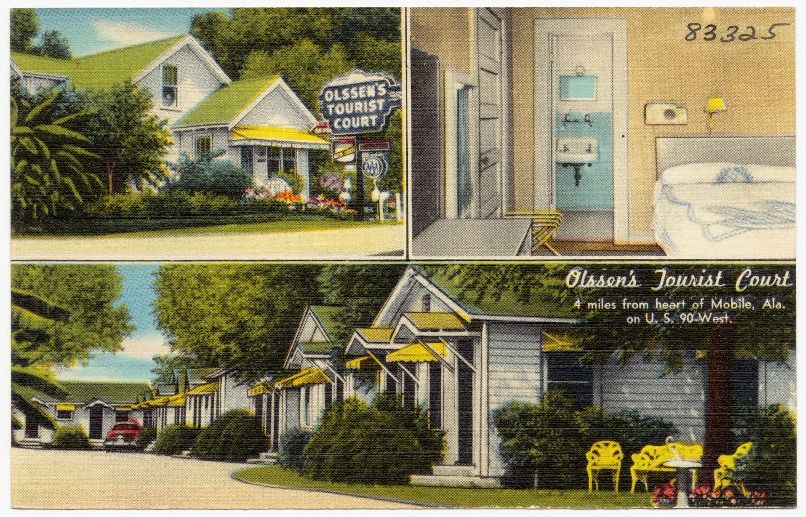
Olssen's Tourist Court, Boston Public Library - undated
Olssen's Tourist Court. Boston Public Library, via the Digital Public Library of America.
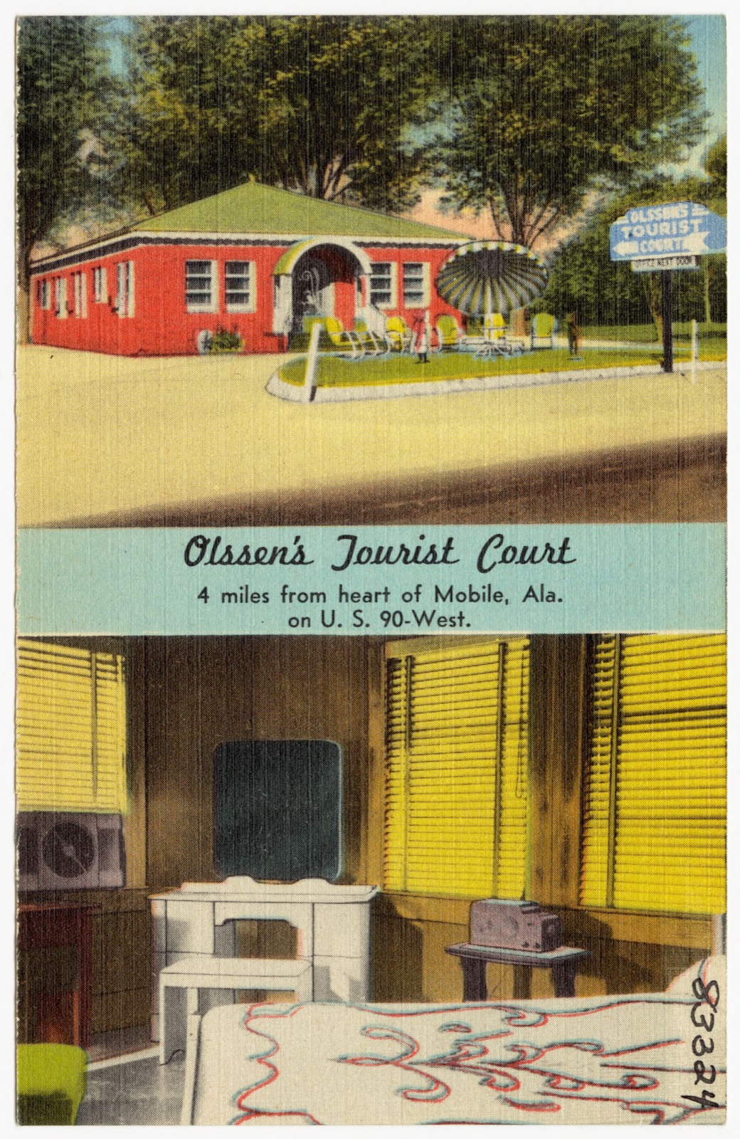
Olssen's Tourist Court, Boston Public Library - undated
Olssen's Tourist Court. Boston Public Library, via the Digital Public Library of America.
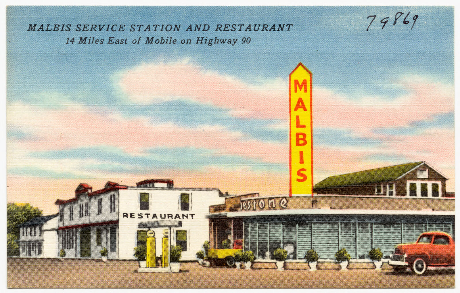
Malbis Service Station and Restaurant, Boston Public Library - undated
Malbis Service Station and Restaurant. Boston Public Library, via the Digital Public Library of America.
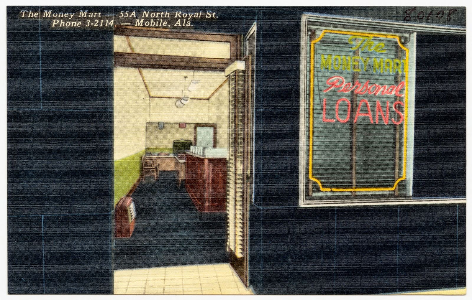
The Money Mart, Boston Public Library - undated
The Money Mart. Boston Public Library, via the Digital Public Library of America.
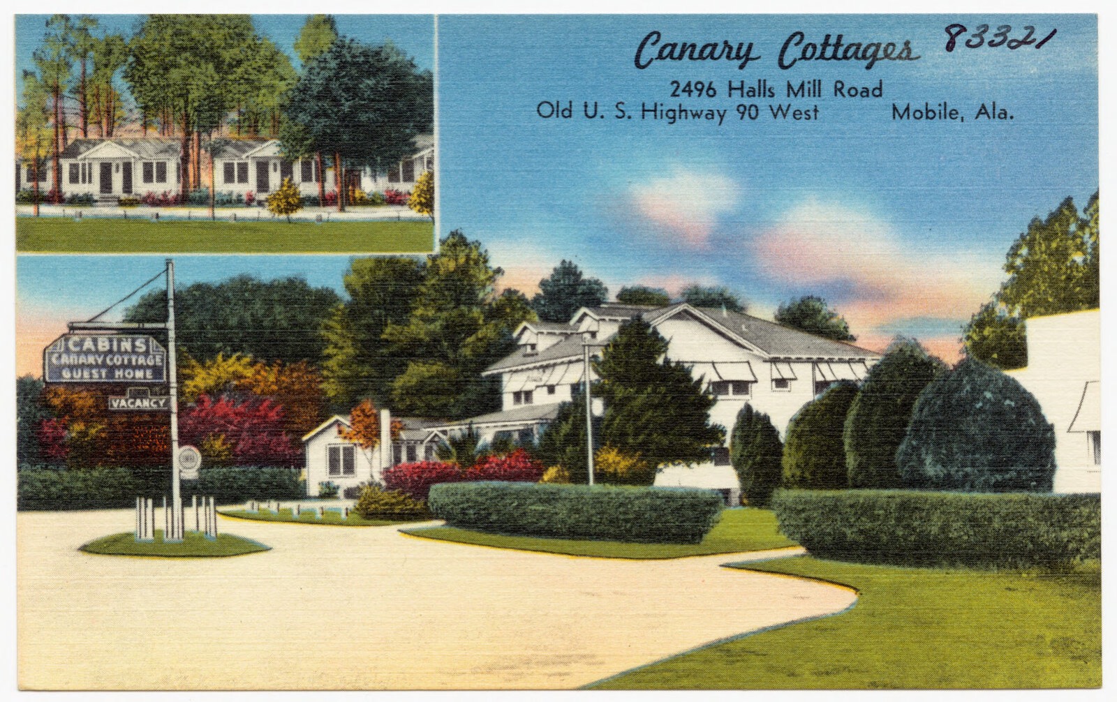
Canary Cottages, Boston Public Library - undated
Canary Cottages. Boston Public Library, via the Digital Public Library of America.
Spanish Fort Motel is located on a spacious, beautifully landscaped grounds, 8 miles E. of Mobile, Ala., Boston Public Library - undated
Spanish Fort Motel is located on a spacious, beautifully landscaped grounds, 8 miles E. of Mobile, Ala.. Boston Public Library, via the Digital Public Library of America.
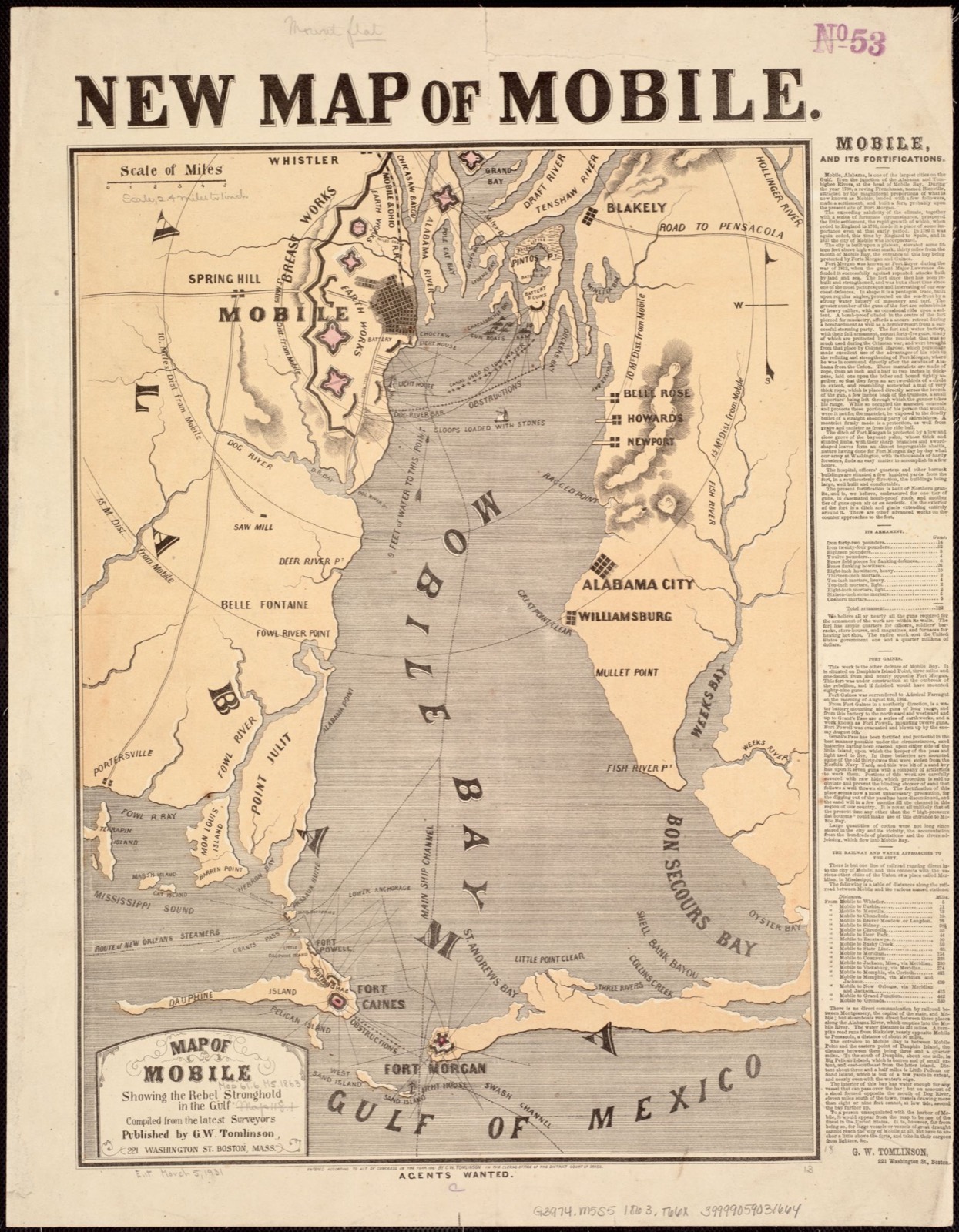
Map of Mobile showing the Rebel stronghold in the Gulf, Boston Public Library - undated
Map of Mobile showing the Rebel stronghold in the Gulf. Tomlinson, G. W. (George W.), Boston Public Library, via the Digital Public Library of America.
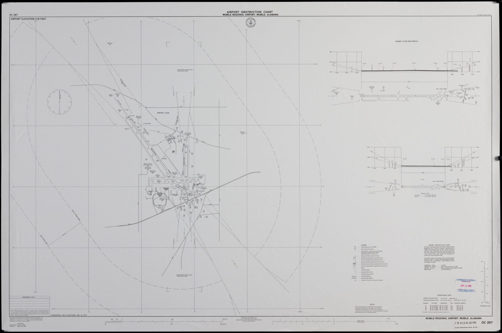
Airport obstruction chart OC 267, Mobile Regional Airport, Mobile, Alabama, Boston Public Library - undated
Airport obstruction chart OC 267, Mobile Regional Airport, Mobile, Alabama. United States. National Ocean Service, Boston Public Library, via the Digital Public Library of America.
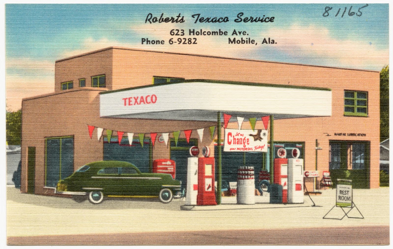
Roberts Texaco Service, Boston Public Library - undated
Roberts Texaco Service. Boston Public Library, via the Digital Public Library of America.

The county from the air

48 shown

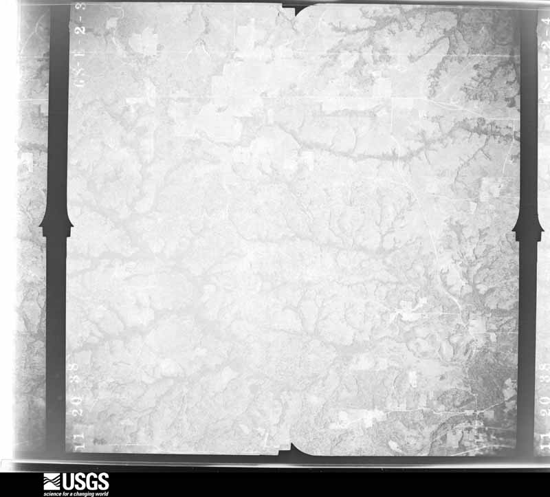
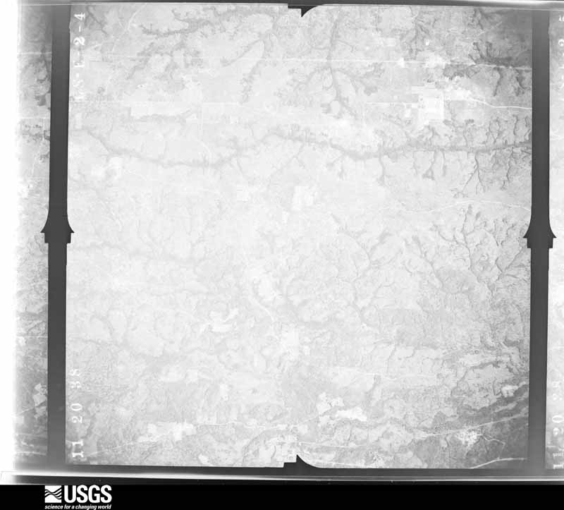
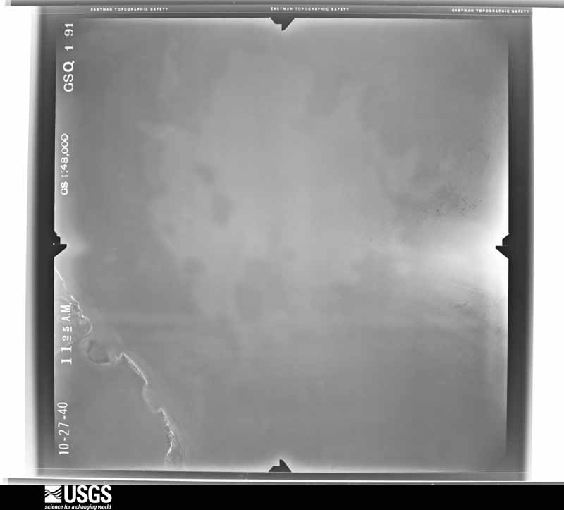
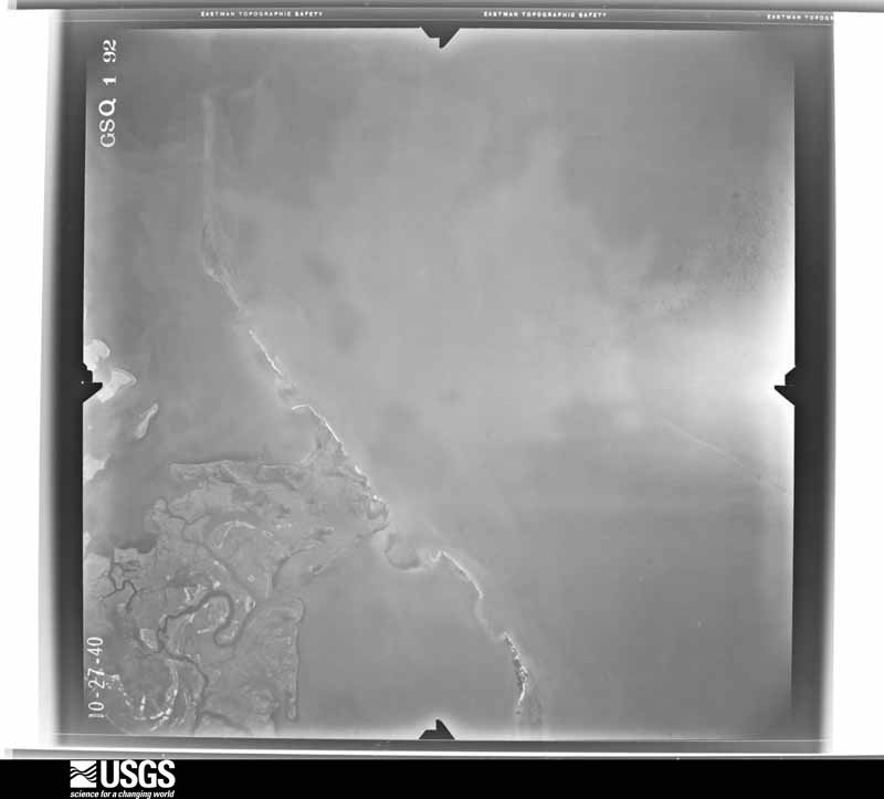
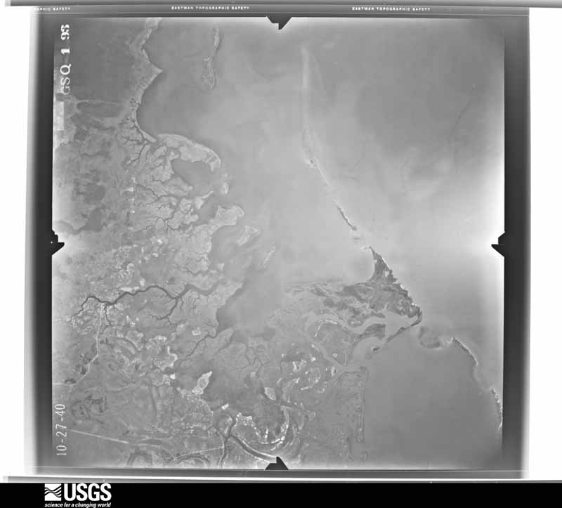
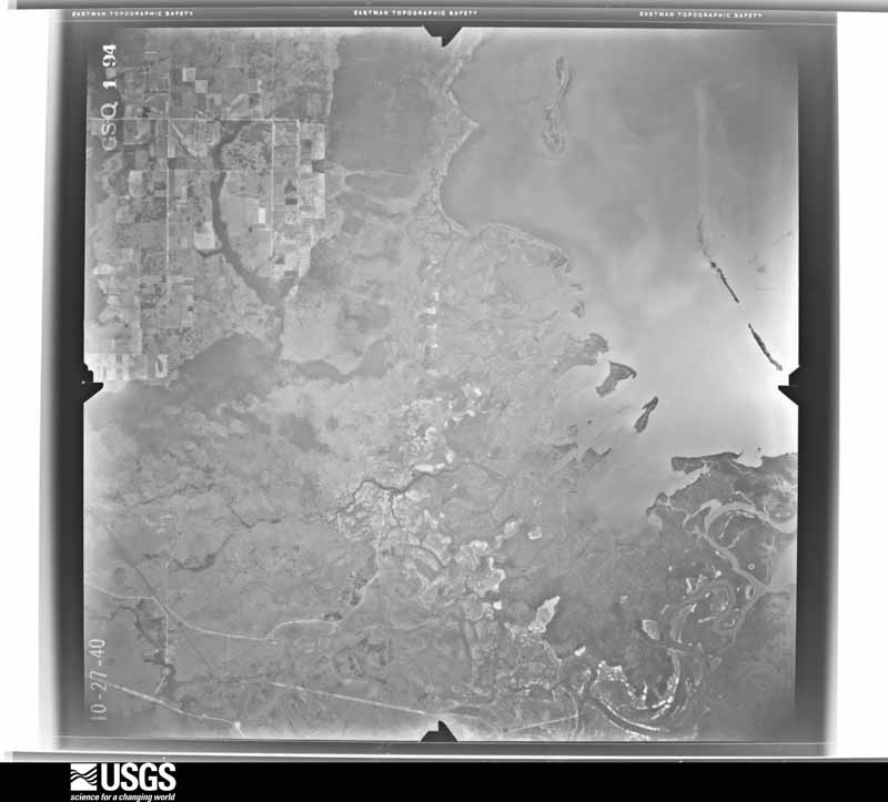
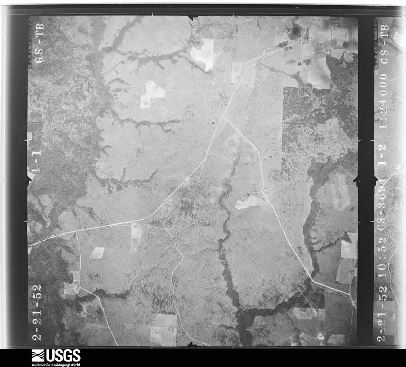
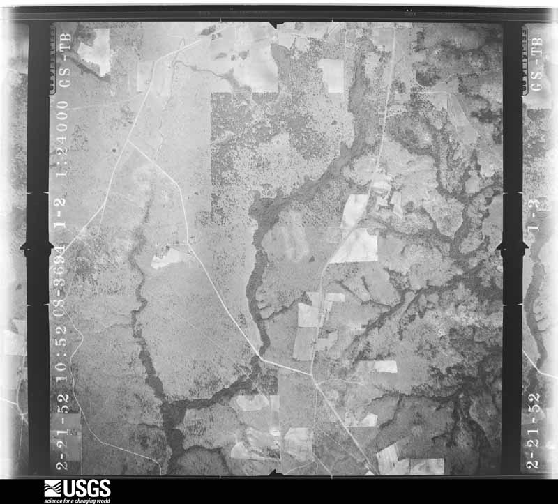
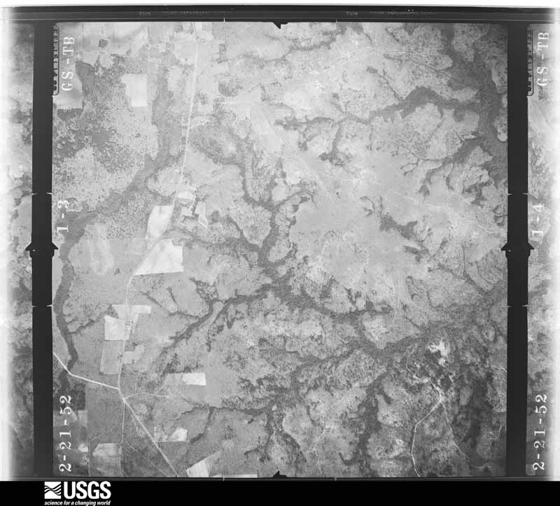
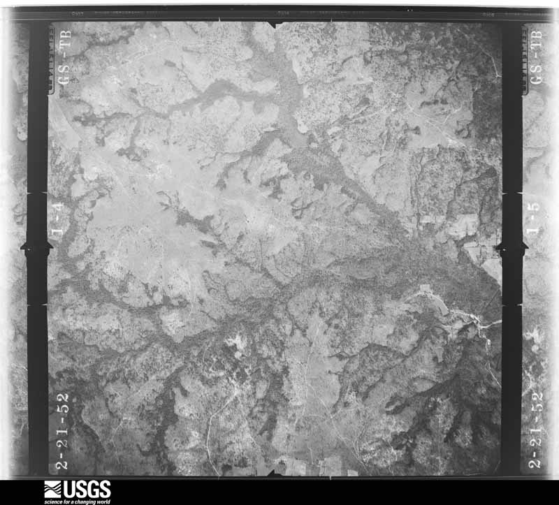
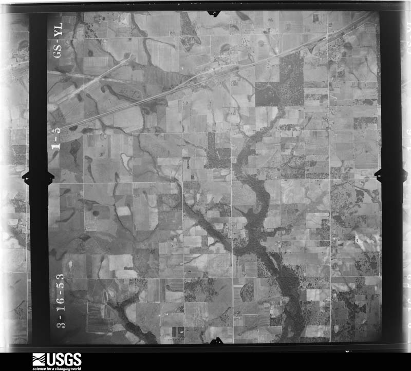
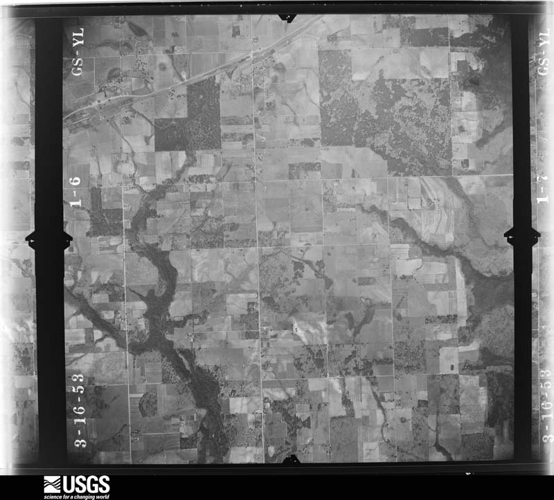
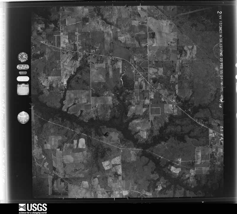
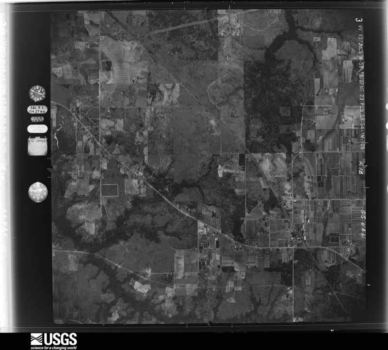
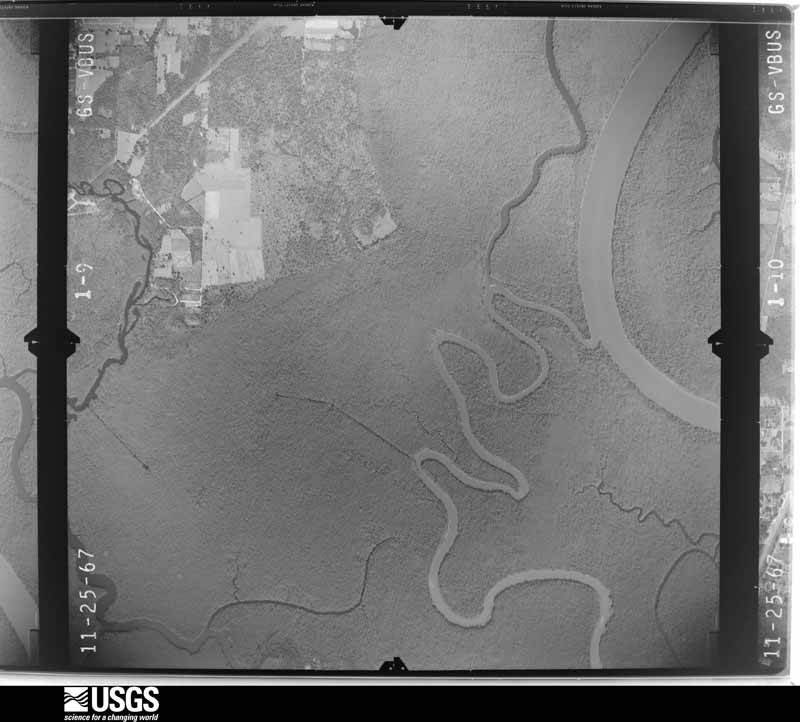
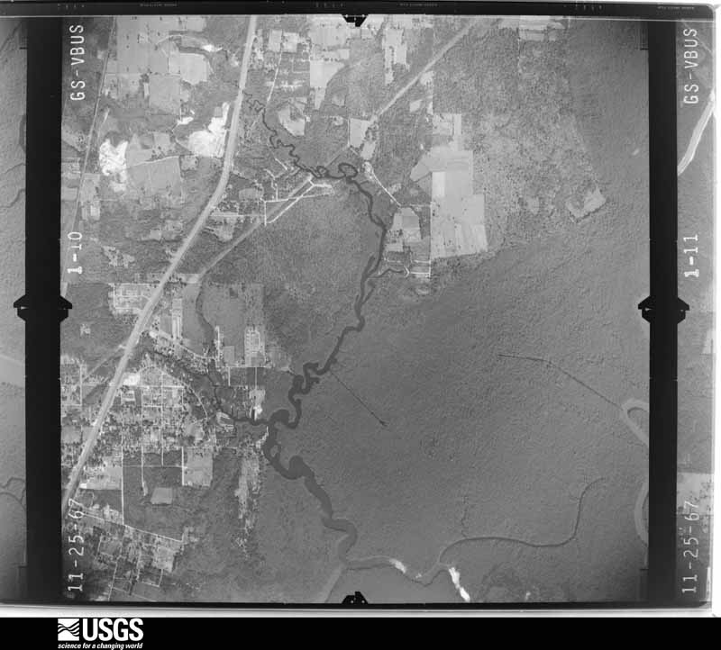
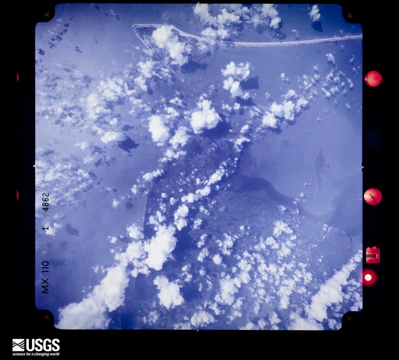
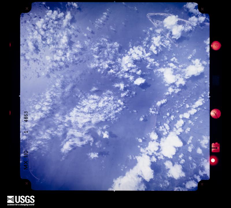
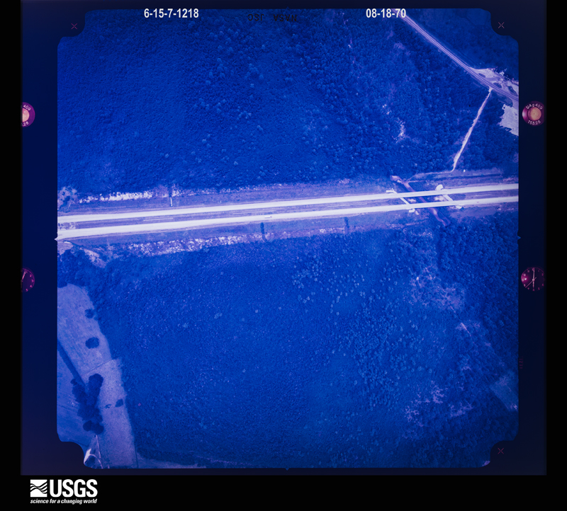
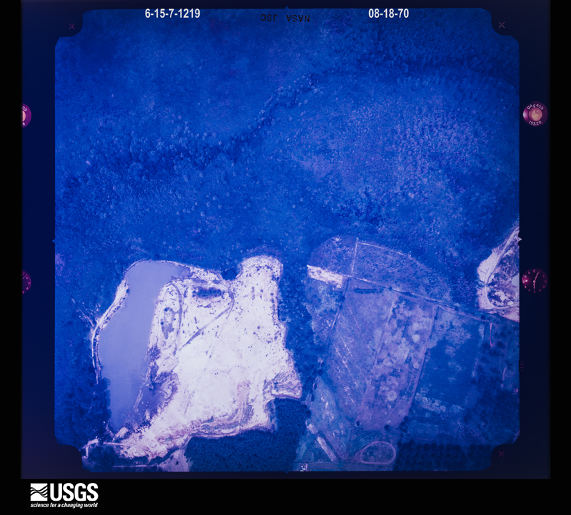
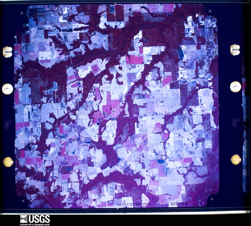
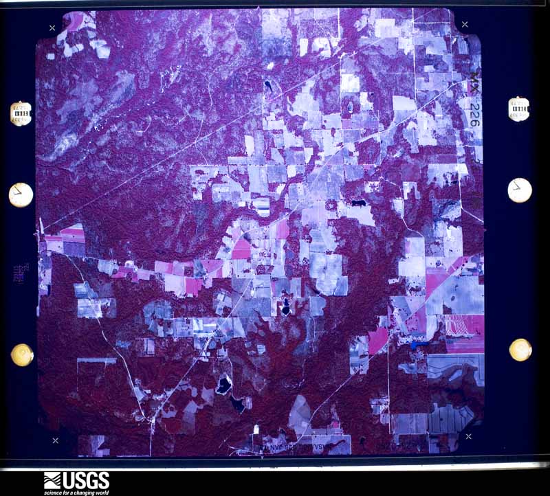
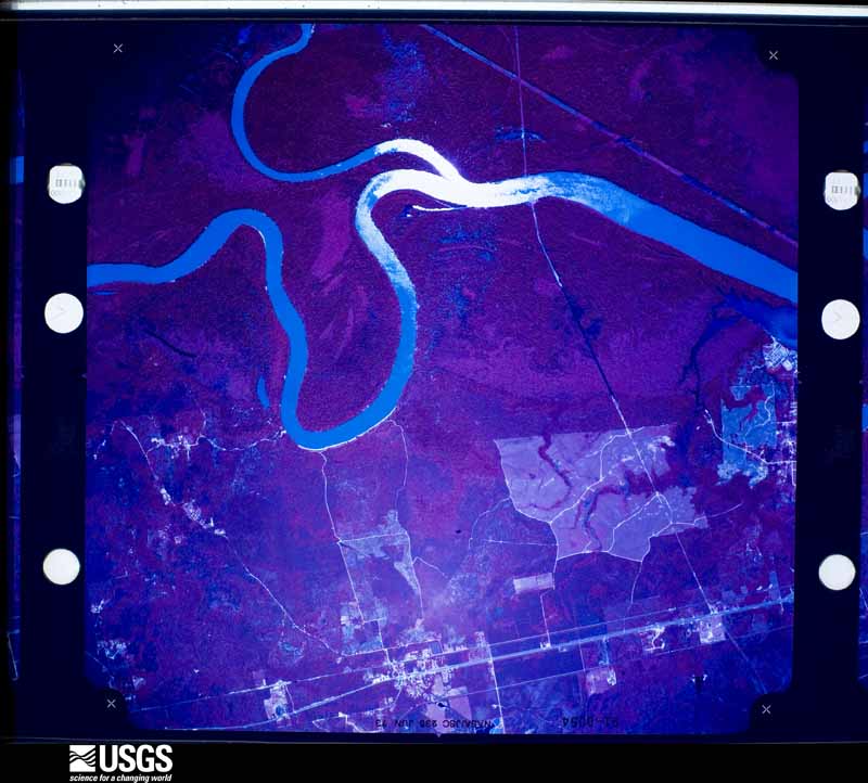
Flown by the U.S. Geological Survey between 1937 and 1989, the Aerial Photo Single Frames collection is the definitive mid-century view of the land: fields, roads and rivers as the camera saw them. The Survey holds 3,702 frames inside the rectangle that bounds this county; the 48 frames below were taken over the county itself, chosen across the decades of flights (at most four a year from that rectangle), so one flight cannot crowd out the rest. The full set is free to browse and download at EarthExplorer under the dataset Aerial Photo Single Frames.

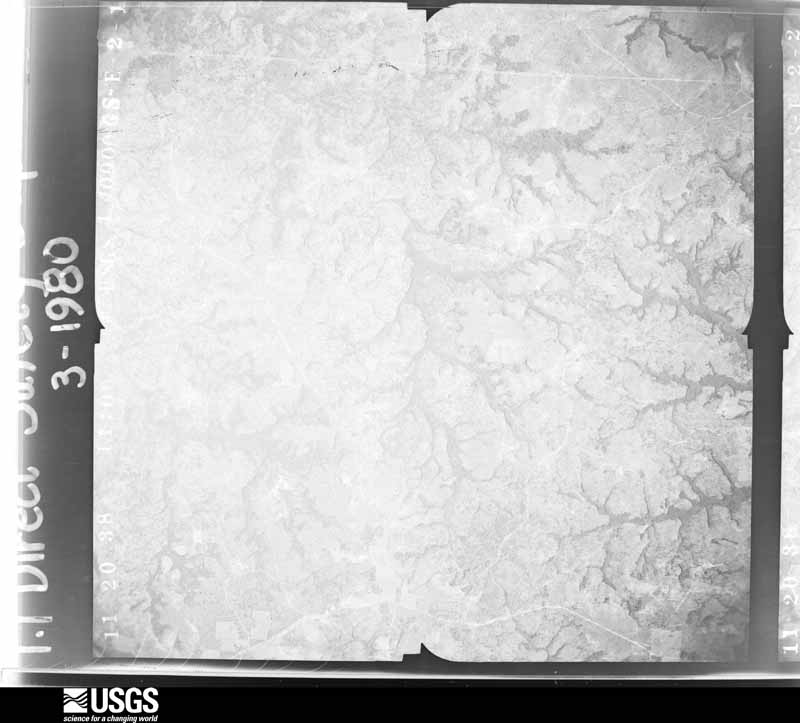
U.S. Geological Survey aerial photograph, 1938-11-20, scale 1:40000
1938-11-20, scale 1:40000. U.S. Geological Survey aerial photograph.
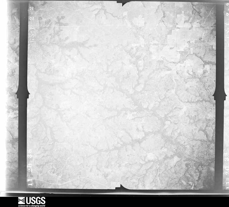
U.S. Geological Survey aerial photograph, 1938-11-20, scale 1:40000
1938-11-20, scale 1:40000. U.S. Geological Survey aerial photograph.
U.S. Geological Survey aerial photograph, 1938-11-20, scale 1:40000
1938-11-20, scale 1:40000. U.S. Geological Survey aerial photograph.
U.S. Geological Survey aerial photograph, 1938-11-20, scale 1:40000
1938-11-20, scale 1:40000. U.S. Geological Survey aerial photograph.
U.S. Geological Survey aerial photograph, 1940-10-27, scale 1:48000
1940-10-27, scale 1:48000. U.S. Geological Survey aerial photograph.
U.S. Geological Survey aerial photograph, 1940-10-27, scale 1:48000
1940-10-27, scale 1:48000. U.S. Geological Survey aerial photograph.
U.S. Geological Survey aerial photograph, 1940-10-27, scale 1:48000
1940-10-27, scale 1:48000. U.S. Geological Survey aerial photograph.
U.S. Geological Survey aerial photograph, 1940-10-27, scale 1:48000
1940-10-27, scale 1:48000. U.S. Geological Survey aerial photograph.
U.S. Geological Survey aerial photograph, 1952-02-21, scale 1:23600
1952-02-21, scale 1:23600. U.S. Geological Survey aerial photograph.
U.S. Geological Survey aerial photograph, 1952-02-21, scale 1:23600
1952-02-21, scale 1:23600. U.S. Geological Survey aerial photograph.
U.S. Geological Survey aerial photograph, 1952-02-21, scale 1:23600
1952-02-21, scale 1:23600. U.S. Geological Survey aerial photograph.
U.S. Geological Survey aerial photograph, 1952-02-21, scale 1:23600
1952-02-21, scale 1:23600. U.S. Geological Survey aerial photograph.
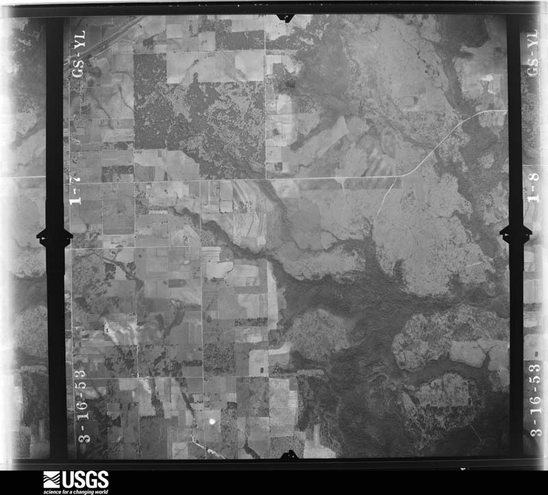
U.S. Geological Survey aerial photograph, 1953-03-16, scale 1:23600
1953-03-16, scale 1:23600. U.S. Geological Survey aerial photograph.
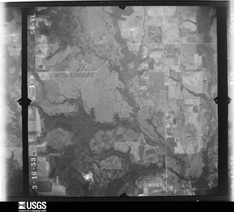
U.S. Geological Survey aerial photograph, 1953-03-16, scale 1:23600
1953-03-16, scale 1:23600. U.S. Geological Survey aerial photograph.
U.S. Geological Survey aerial photograph, 1953-03-16, scale 1:23600
1953-03-16, scale 1:23600. U.S. Geological Survey aerial photograph.
U.S. Geological Survey aerial photograph, 1953-03-16, scale 1:23600
1953-03-16, scale 1:23600. U.S. Geological Survey aerial photograph.
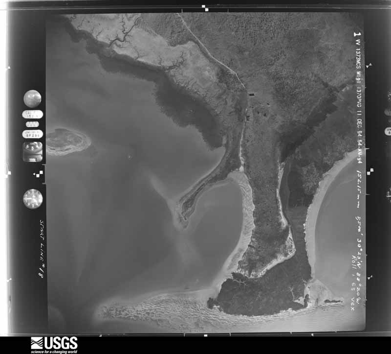
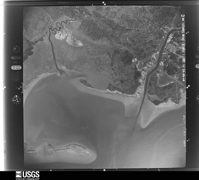
U.S. Geological Survey aerial photograph, 1954-12-11, scale 1:17000
1954-12-11, scale 1:17000. U.S. Geological Survey aerial photograph.
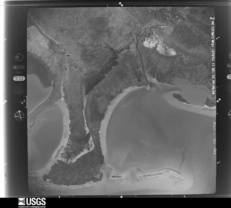
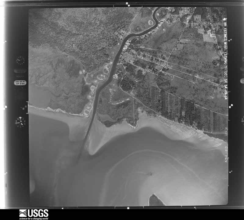
U.S. Geological Survey aerial photograph, 1954-12-11, scale 1:17000
1954-12-11, scale 1:17000. U.S. Geological Survey aerial photograph.
U.S. Geological Survey aerial photograph, 1954-12-11, scale 1:17000
1954-12-11, scale 1:17000. U.S. Geological Survey aerial photograph.
U.S. Geological Survey aerial photograph, 1954-12-11, scale 1:17000
1954-12-11, scale 1:17000. U.S. Geological Survey aerial photograph.
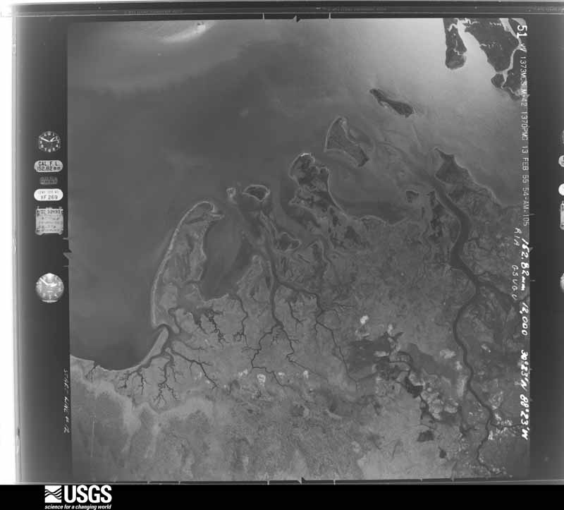
U.S. Geological Survey aerial photograph, 1955-02-13, scale 1:23600
1955-02-13, scale 1:23600. U.S. Geological Survey aerial photograph.
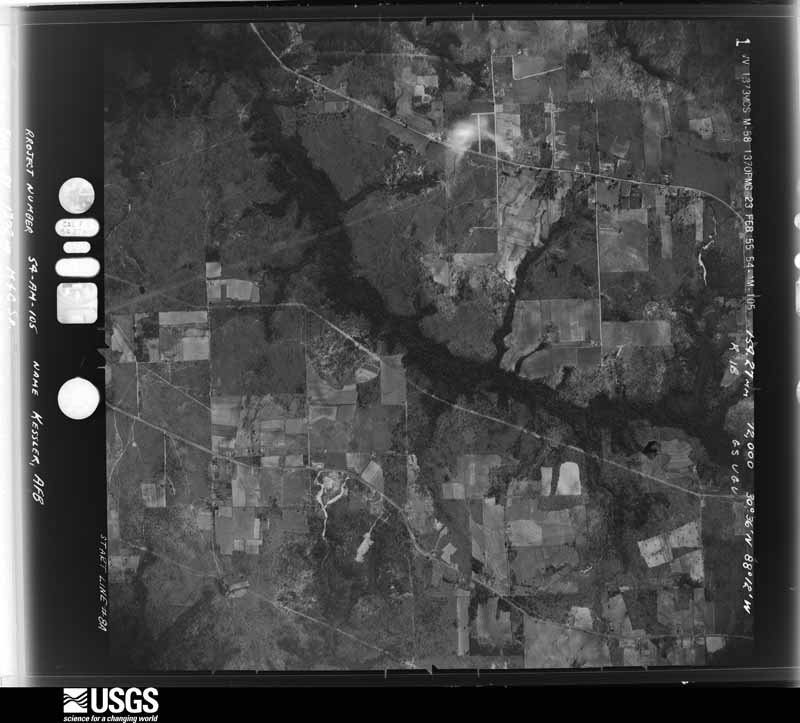
U.S. Geological Survey aerial photograph, 1955-02-23, scale 1:24000
1955-02-23, scale 1:24000. U.S. Geological Survey aerial photograph.
U.S. Geological Survey aerial photograph, 1955-02-23, scale 1:24000
1955-02-23, scale 1:24000. U.S. Geological Survey aerial photograph.
U.S. Geological Survey aerial photograph, 1955-02-23, scale 1:24000
1955-02-23, scale 1:24000. U.S. Geological Survey aerial photograph.
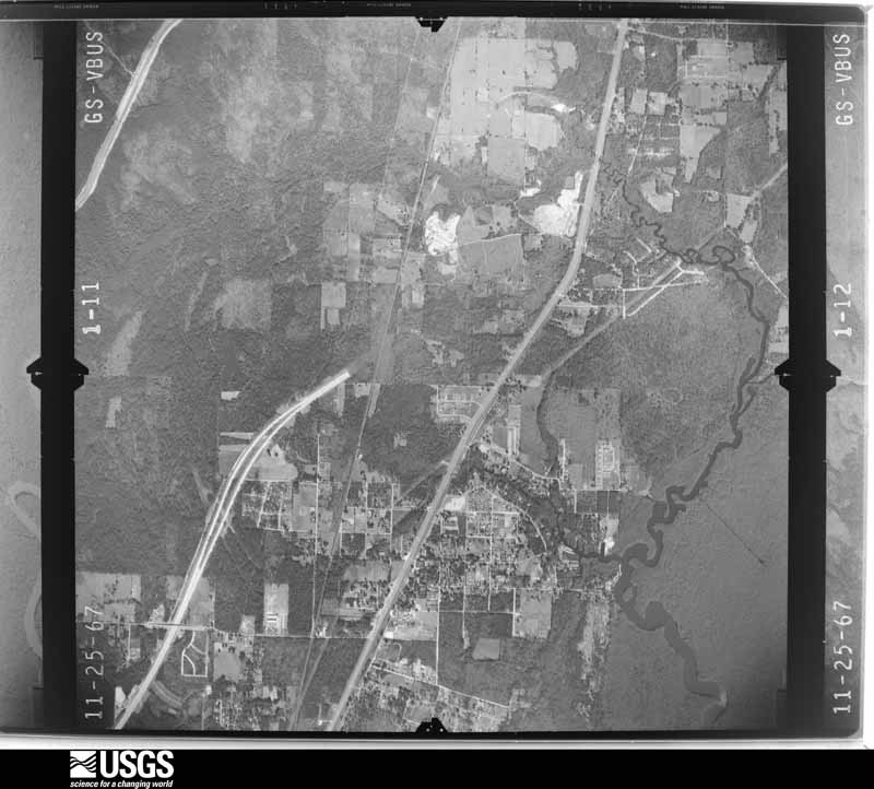
U.S. Geological Survey aerial photograph, 1967-11-25, scale 1:24000
1967-11-25, scale 1:24000. U.S. Geological Survey aerial photograph.
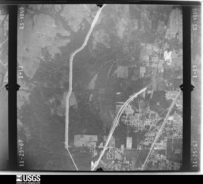
U.S. Geological Survey aerial photograph, 1967-11-25, scale 1:24000
1967-11-25, scale 1:24000. U.S. Geological Survey aerial photograph.
U.S. Geological Survey aerial photograph, 1967-11-25, scale 1:24000
1967-11-25, scale 1:24000. U.S. Geological Survey aerial photograph.
U.S. Geological Survey aerial photograph, 1967-11-25, scale 1:24000
1967-11-25, scale 1:24000. U.S. Geological Survey aerial photograph.
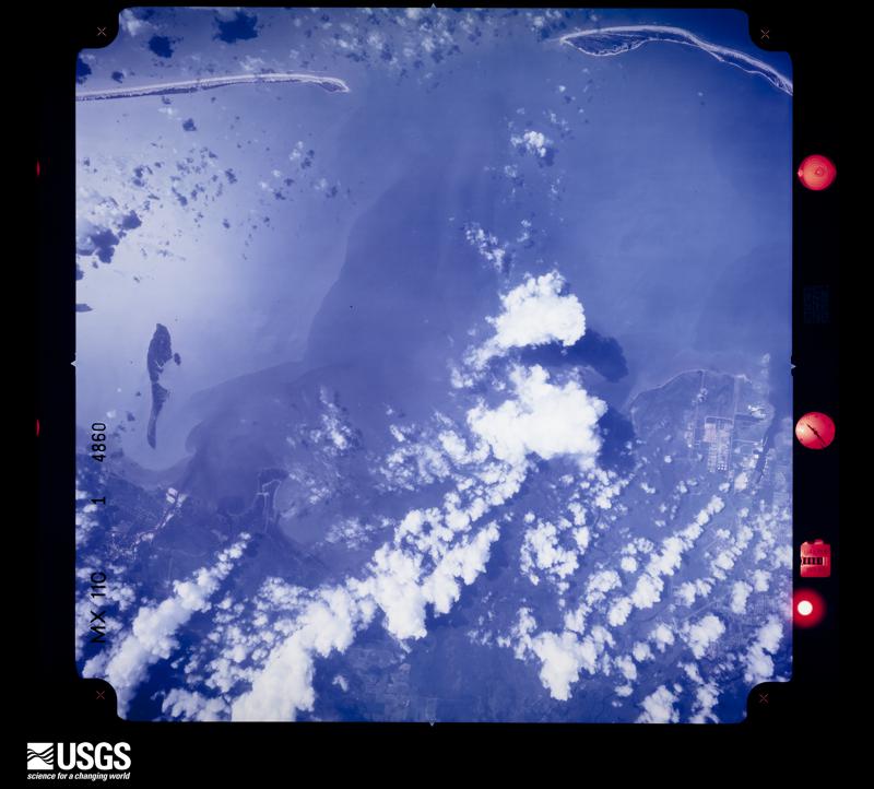
U.S. Geological Survey aerial photograph, 1969-08-19, scale 1:124719
1969-08-19, scale 1:124719. U.S. Geological Survey aerial photograph.
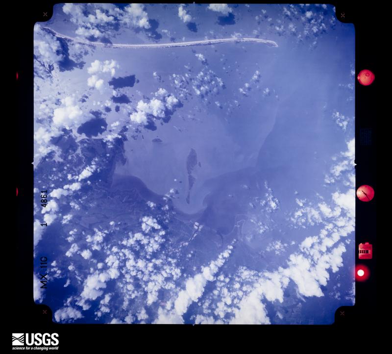
U.S. Geological Survey aerial photograph, 1969-08-19, scale 1:124719
1969-08-19, scale 1:124719. U.S. Geological Survey aerial photograph.
U.S. Geological Survey aerial photograph, 1969-08-19, scale 1:124325
1969-08-19, scale 1:124325. U.S. Geological Survey aerial photograph.
U.S. Geological Survey aerial photograph, 1969-08-19, scale 1:124325
1969-08-19, scale 1:124325. U.S. Geological Survey aerial photograph.
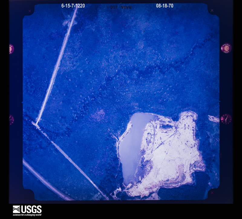
U.S. Geological Survey aerial photograph, 1970-08-18, scale 1:4195
1970-08-18, scale 1:4195. U.S. Geological Survey aerial photograph.
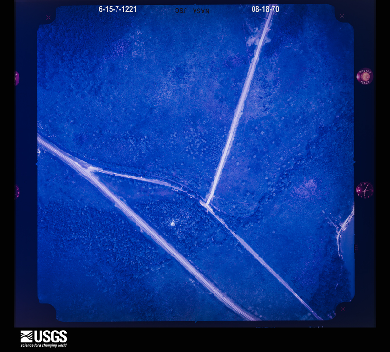
U.S. Geological Survey aerial photograph, 1970-08-18, scale 1:4234
1970-08-18, scale 1:4234. U.S. Geological Survey aerial photograph.
U.S. Geological Survey aerial photograph, 1970-08-18, scale 1:4234
1970-08-18, scale 1:4234. U.S. Geological Survey aerial photograph.
U.S. Geological Survey aerial photograph, 1970-08-18, scale 1:4021
1970-08-18, scale 1:4021. U.S. Geological Survey aerial photograph.
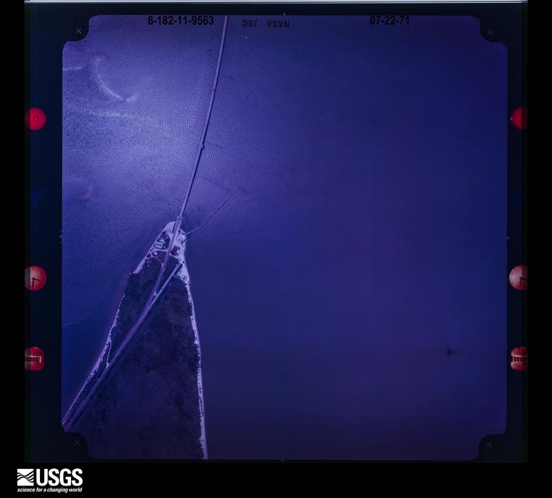
U.S. Geological Survey aerial photograph, 1971-07-22, scale 1:4108
1971-07-22, scale 1:4108. U.S. Geological Survey aerial photograph.
U.S. Geological Survey aerial photograph, 1971-07-22, scale 1:3739
1971-07-22, scale 1:3739. U.S. Geological Survey aerial photograph.
U.S. Geological Survey aerial photograph, 1971-07-22, scale 1:6770
1971-07-22, scale 1:6770. U.S. Geological Survey aerial photograph.
U.S. Geological Survey aerial photograph, 1971-07-22, scale 1:6770
1971-07-22, scale 1:6770. U.S. Geological Survey aerial photograph.
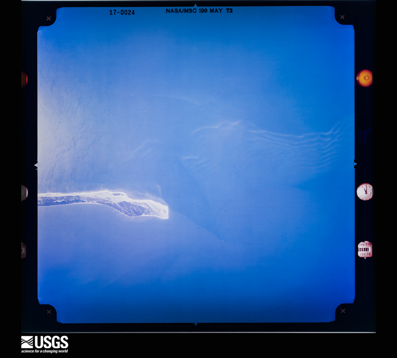
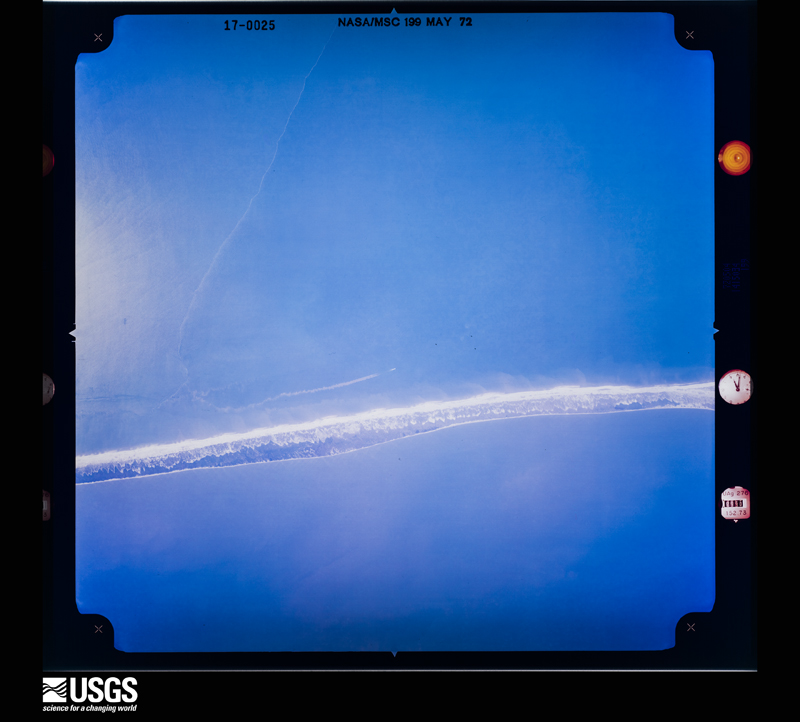
U.S. Geological Survey aerial photograph, 1972-05-04, scale 1:35634
1972-05-04, scale 1:35634. U.S. Geological Survey aerial photograph.
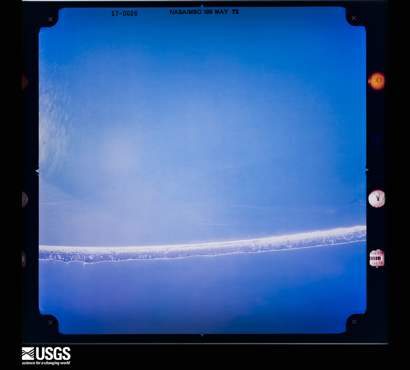
U.S. Geological Survey aerial photograph, 1972-05-04, scale 1:35634
1972-05-04, scale 1:35634. U.S. Geological Survey aerial photograph.
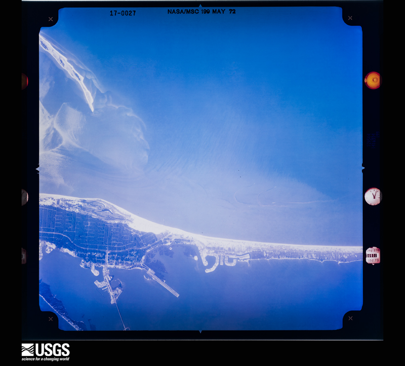
U.S. Geological Survey aerial photograph, 1972-05-04, scale 1:35634
1972-05-04, scale 1:35634. U.S. Geological Survey aerial photograph.
U.S. Geological Survey aerial photograph, 1972-05-04, scale 1:35634
1972-05-04, scale 1:35634. U.S. Geological Survey aerial photograph.
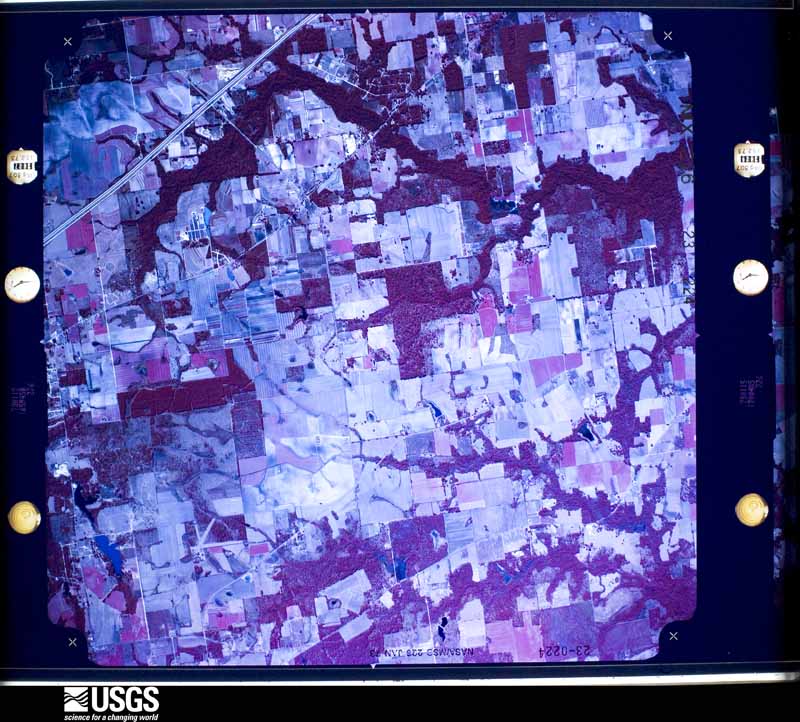
U.S. Geological Survey aerial photograph, 1973-01-15, scale 1:41256
1973-01-15, scale 1:41256. U.S. Geological Survey aerial photograph.
U.S. Geological Survey aerial photograph, 1973-01-15, scale 1:41256
1973-01-15, scale 1:41256. U.S. Geological Survey aerial photograph.
U.S. Geological Survey aerial photograph, 1973-01-15, scale 1:42937
1973-01-15, scale 1:42937. U.S. Geological Survey aerial photograph.
U.S. Geological Survey aerial photograph, 1973-06-24, scale 1:41979
1973-06-24, scale 1:41979. U.S. Geological Survey aerial photograph.

Weather records

71 stations, 17 gages

The thermometers that kept this county's weather, and the gages that measured the flow of its streams, as the federal records hold them. The extremes below are measured values from those records, not estimates.

The 1950 census, district by district

302 districts

Who lived here in 1950, one enumeration district at a time, as the Census Bureau described each district. Each row opens its official National Archives result, with Population Schedules and ED Maps available there.

  • 49-1Election Precinct 1, Citronelle: Citronelle town: Citronelle town - That part east of U.S. Highway 45
  • 49-2Citronelle town - That part west of U.S. Highway 45
  • 49-3Election Precinct 1, Citronelle - That part outside Citronelle town
  • 49-4Election Precinct 2, Mount Vernon and Calvert: Election Precinct 2 Mount Vernon and Calvert - That part north of Mobile River and Cedar Creek, and east of U.S. Highway 43
  • 49-5Election Precinct 2, Mount Vernon and Calvert - That part west of U.S. Highway 43 and north of Cedar Creek, excluding Searcy Hospital (for Colored Insane)
  • 49-6Searcy Hospital (for Colored Insane) (In Election Precinct 2, Mount Vernon and Calvert)
  • 49-7Election Precinct 2, Mount Vernon and Calvert - That part south of Cedar Creek and Mobile River
  • 49-8Election Precinct 3, Gulfcrest
  • 49-9Election Precinct 4, Georgetown
  • 49-10Election Precinct 5, Creola
  • 49-11Election Precinct 6, Kushla
  • 49-12Election Precinct 7, Wilmer
  • 49-13Election Precinct 8, 8 Mile Station: Election Precinct 8, 8 Mile Station - That part northeast of U.S. Highway 45
  • 49-14Election Precinct 8, 8 Mile Station - That part southwest of U.S. Highway 45
  • 49-15Election Precinct 9, Whistler: Election Precinct 9, Whistler - That part Bounded by Election Precinct line; Election Precinct line; Watson, Warren, Whatley, N. Railroad, Gould, Mobile and Ohio Railway, Anderson, Engine, Branch; Election Precinct line
  • 49-16Election Precinct 9, Whistler - That part Bounded by Branch, Engine, Anderson; Mobile and Ohio Railway, Gould, Engine; 4th; Election Precinct line
  • 49-17Election Precinct 9, Whistler - That part Bounded by 4th, Engine, Gould; Mobile and Ohio Railway; Arthur, Wisconsin, Magee, 9th; Election Precinct line
  • 49-18Election Precinct 9, Whistler - That part Bounded by Gould, N. Railroad, E. 6th, Culvert, E. 7th; Warren, E. 8th, Turner Road; Gum Tree Branch; Mobile and Ohio Railway
  • 49-19Election Precinct 9, Whistler - That part bounded by Whatley, Warren, Watson, Election Precinct line; Election Precinct line; Mobile and Ohio Railway, Gum Tree branch, Turner Road, E. 8th, Warren, E. 7th, Culvert, E. 6th, N. Railroad
  • 49-20Election Precinct 9, Whistler - That part Bounded by Wisconsin, Engine, Arthur; Mobile and Ohio Railway; Election Precinct line, Prichard City limits; Magee
  • 49-21Election Precinct 9, Whistler - That part Bounded by 9th; Magee; Prichard City limits, Election Precinct line; Election Precinct line
  • 49-22Election Precinct 10, Toulminville: Election Precinct 10, Toulminville - That part Bounded by Terminal Railway; Prichard City limits; Chastang; Canal, Alley No. 2, Wellington
  • 49-23Election Precinct 10, Toulminville - That part Bounded by Election Precinct line; Prichard City limits, Terminal Railway; West, Jessie, Berkley Avenue
  • 49-24Election Precinct 10, Toulminville - That part Bounded by Berkley Avenue, Jessie, West; Terminal Railway, Main extended, Main, 4th Avenue; Butler
  • 49-25Election Precinct 10, Toulminville - That part Bounded by Election Precinct line; Berkley Avenue, Butler, 4th Avenue, Main, Main extended, Terminal Railway, Wellington, Gulf Mobile and Ohio Railway; Mobile City limits; Election Precinct line
  • 49-26Election Precinct 10, Toulminville - That part Bounded by Wellington, Alley No. 2, Canal, Chastang; Prichard City limits; Mobile City limits; Gulf Mobile, and Ohio Railway
  • 49-27Election Precinct 10, Toulminville - That part Bounded by Prichard City limits; Mobile City limits; Mobile City limits; Prichard City limits
  • 49-28Election Precinct 12, Spring Hill: Election Precinct 12, Spring Hill - That part Bounded by Election Precinct line; Election Precinct line, Mobile City limits; Inactive car line, Dogwood Lane, Fedy Place, Dilston, Sheips Lane, Unnamed street, Springhill Avenue, McGregor Avenue, Forest Hill Drive; Election Precinct line
  • 49-29Election Precinct 12, Spring Hill - That part excluding Spring Hill College Bounded by Springhill Avenue, Unnamed street, Sheips Lane, Dilston, Fedy Place, Dogwood Lane, Inactive car line; Mobile City limits; Unnamed stream, Spring Hill College property line; Spring Hill College property line, Old Shell Road, Dilston, Stein, McGregor Avenue, Princess Anne Road, W. Hathaway Road, N. Hathaway Road, McGregor Avenue
  • 49-30Spring Hill College (In Election Precinct 12, Spring Hill)
  • 49-31Election Precinct 12, Spring Hill - That part Bounded by Election Precinct line, Forest Hill Drive; McGregor Avenue, N. Hathaway Road, W. Hathaway Road, Princess Anne Road, McGregor Avenue, Stein, Dilston; Old Shell Road, Country Club Road, Union Church Road, Old Shell Road, E. Border Dr., Hillwood Circle, N. Border Drive, W. Border Drive, S. Border Drive, Old Shell Road; Twelve Mile Creek
  • 49-32Election Precinct 12, Spring Hill - That part Bounded by N. Border Drive, Hillwood Circle; Hillwood Circle, E. Border Drive; Old Shell Road; W. Parkway, Azalea Circle
  • 49-33Election Precinct 12, Spring Hill - That part Bounded by N. Border Drive; Azalea Circle, W. Parkway; Old Shell Road, S. Border Drive; W. Border Drive
  • 49-34Election Precinct 12, Spring Hill - That part Bounded by Election Precinct line, Twelve Mile Creek, Old Shell Road, Union Church Road, Country Club Road, Old Shell Road, Spring Hill College property line, Unnamed stream; Mobile City limits; Government Street Road; Election Precinct line
  • 49-35Election Precinct 12, Spring Hill - That part Bounded by Election Precinct line, Government Street Road; Mobile City limits; Election Precinct line; Election Precinct line
  • 49-36AElection Precinct 11, Wheelerville - That part of original Enumeration District comprising sections 10, 11, 12, 13, 14 and 15 Township 4 South, Range 3 West, sections 16, 17, 18, 19, 20, 21, 29, 30, 31 and 32, Township 4 South, Range 2 West and sections 4 pt., 5, 6 pt., 7 pt., 8 pt., 9. 16 pt., and 17 pt., Township 5 South, Range 2 West
  • 49-36BElection Precinct 13, Wheelerville - That part of original Enumeration District comprising sections 22, 23, 24, 25, 26, 27, 34, 35 and 36, Township 4 South, Range 3 West
  • 49-37Election Precinct 14, Seven Hills
  • 49-38Election Precinct 15, Grand Bay and Union Church: Election Precinct 15, Grand Bay and Union Church - That part north of U.S. Highway 90
  • 49-39Election Precinct 15, Grand Bay and Union Church - That part south of U.S. Highway 90, and including Barton, Grand Betture, Marsh, Petit Bois, and West Sand Islands and all other islands in this enumeration district
  • 49-40Election Precinct 16, St. Elmo and Irvington: Election Precinct 16, St. Elmo and Irvington - That part north of U.S. Highway 90
  • 49-41Election Precinct 16, St. Elmo and Irvington - That part south of U.S. Highway 90
  • 49-42Election Precinct 17, Theodore: Election Precinct 17, Theodore - That part east of Mobile and Ohio Railroad, excluding U.S. Naval Magazine
  • 49-43U.S. Naval Magazine (In Election Precinct 17, Theodore)
  • 49-44Election Precinct 17, Theodore - That part west of Mobile and Ohio Railroad
  • 49-45Election Precinct 18, Bayou La Batre: Bayou La Batre, unincorporated Bounded by Offset line 1/4 mile north of and parallel to Unnamed road, Gulf Bloc., Offset line 1/4 mile north of and parallel to Unnamed road; Branch of Bayou La Batre, Bayou La Batre, Unnamed road, Unnamed road extended; Unnamed canal (Branch of Bayou Coden), Unnamed canal, Unnamed canal extended, Gulf Mobile and Ohio Railroad, Unnamed road, Unnamed road extended; Bayou La Batre, Branch of Bayou La Batre
  • 49-46Election Precinct 18, Bayou La Batre - That part east of Coden - Irvington Road, outside the unincorporated place of Bayou La Batre. (See separate map for boundaries of Bayou La Batre)
  • 49-47Election Precinct 18, Bayou La Batre - That part west of Irvington-Coden Road, outside the unincorporated place of Bayou La Batre, and including Isle au Dame and all other islands in this enumeration district. (See separate map for boundaries of Bayou La Batre)
  • 49-48Election Precinct 19, Herron Bay
  • 49-49AElection Precinct 20, Satsuma-Saraland and Blakely Island - That part including all islands in this enumeration district Bounded by Election Precinct line; County line (Mobile River); Bayou Sara Creek (North of Twelve Mile Island), Line running in northwesterly direction from Bayou Sara Creek to Baldwin Avenue, Baldwin Avenue, U.S. Highway 43, Bayou Sara Creek Election; Precinct line
  • 49-49BElection Precinct 20, Satsuma-Saraland and Blakely Island - That part including all islands in this enumeration district Bounded by Bayou Sara Creek, U.S. Highway 43, Baldwin Avenue, Line running in southeasterly direction from Baldwin Avenue to Bayou Sara Creek, Bayou Sara Creek (North of Twelve Mile Island); County line (Mobile River), Mobile River; Election Precinct line; Election Precinct line
  • 49-50Election Precinct 20, Satsuma-Saraland and Blakeley Island - That part outside Area A, Pinto Island and Sand Island, and excluding U.S. Naval Reserve Armory Bounded by Mobile River; County Line; Mobile Bay; Mobile City limits
  • 49-51U.S. Naval Reserve Armory (In Election Precinct 20, Satsuma-Saraland and Blakeley Island)
  • 49-52Election Precinct 20, Satsuma - Saraland and Blakeley Island - That part of Area A Bounded by 7th; Cochrane Avenue; 6th; West Avenue
  • 49-53Election Precinct 20, Satsuma-Saraland and Blakeley Island - That part of Area A Bounded by 6th; Cochrane Avenue; 3rd; West Avenue
  • 49-54Election Precinct 20, Satsuma-Saraland and Blakeley Island - That part of Area A Bounded by 5th; East Avenue; 3rd; Cochrane Avenue
  • 49-55Election Precinct 20, Satsuma-Saraland and Blakeley Island - That part of Area A Bounded by 3rd; East Avenue; 1st; Cochrane Avenue
  • 49-56Election Precinct 20, Satsuma-Saraland and Blakeley Island - That part of Area A Bounded by 3rd; Cochrane Avenue; Unnamed street; West Avenue
  • 49-57Election Precinct 20, Satsuma-Saraland and Blakeley Island - That part comprising Pinto Island Bounded by Pinto Pass; Mobile Bay; Mobile Bay; Mobile River
  • 49-58Election Precinct 20, Satsuma-Saraland and Blakeley Island - That part comprising Sand Island, and excluding Continental Quarantine Station, Sand Island U.S. Lighthouse and U.S. Coast Guard Radiobeacon Station Bounded by Mobile Bay; Mobile Bay; Mobile Bay
  • 49-59Continental Quarantine Station (In Election Precinct 20, Satsuma-Saraland and Blakeley Island)
  • 49-60Sand Island U.S. Lighthouse (In Election Precinct 20, Satsuma-Saraland and Blakeley Island)
  • 49-61U.S. Coast Guard Radiobeacon Station (In Election Precinct 20, Satsuma-Saraland and Blakeley Island)
  • 49-62Election Precinct 21, Highway 90 and Cottage Hill: Election Precinct 21, Highway 90 and Cottage Hill - That part northwest of U.S. Highway 90
  • 49-63Election Precinct 21, Highway 90 and Cottage Hill - That part southeast of U.S. Highway 90
  • 49-64Election Precinct 22, Fowl River
  • 49-65Election Precinct 23, Cedar Point Road Brookley Air Force Base - That part in Election Precinct 23, Cedar Point Road (Remainder of Brookley Air Force Base is in Mobile city, Wards 10 and 11)
  • 49-66Election Precinct 23, Cedar Point Road - That part west of county road from Brookley Air Force Base to Dog River, and including all islands in this enumeration district
  • 49-67Election Precinct 23, Cedar Point Road - That part east of county road from to Brookley Air Force Base
  • 49-68Election Precinct 24, Tanner Williams
  • 49-69Election Precinct 25, Coden
  • 49-70Election Precinct 26, Semmes
  • 49-71Election Precinct 27, Prichard, coextensive with Prichard city: Prichard city - That part Bounded by City limits; City limits; Marian, Telegraph Road, Petain, Craft Highway, Wood; Wilson Avenue
  • 49-72Prichard city - That part Bounded by City limits; Wilson Avenue; Turner Road; Edgewood Road
  • 49-73Prichard city - That part Bounded by City limits; Edgewood Road, Turner Road, Craft Highway; Butler; City limits
  • 49-74Prichard city - That part Bounded by Wood, Craft Highway, Petain, Telegraph Road, Marian; City limits; Woodland Avenue, Telegraph Road, Turner Road, Craft Highway, Turner Road; Wilson Avenue
  • 49-75Prichard city - That part Bounded by Turner Road, Telegraph Road, Woodland Avenue; City limits; Meaher Avenue; Telegraph Road, Cawthon, Palmetto Avenue
  • 49-76Prichard city - That part Bounded by Turner Road; Palmetto Avenue, Cawthon, Telegraph Road; George, 7th; Craft Highway
  • 49-77Prichard city - That part Bounded by 7th, George; Telegraph Road, Birmingham Avenue, Hedge; Montgomery Avenue; Craft Highway
  • 49-78Prichard city - That part Bounded by City limits, Butler; Craft Highway; 5th Avenue, Wilson Avenue; Gulf Mobile, and Ohio Railroad
  • 49-79Prichard city - That part Bounded by City limits; Gulf Mobile and Ohio Railroad, Wilson Avenue; Max, Holmes, John; Main
  • 49-80Prichard city - That part Bounded by City limits; Main; Alley No. 2 (Hogan Lane); Magee
  • 49-81Prichard city - That part Bounded by City limits; Magee; Alley No. 2 (Hogan Lane); City limits
  • 49-82Prichard city - That part Bounded by Alley No. 2 (Hogan Lane); N. 3rd; Alley No. 1 (Prichard Lane); City limits
  • 49-83Prichard city - That part Bounded by Alley No. 2 (Hogan Lane), Main, John, Holmes, Max; Wilson Avenue; Alley No. 1 (Prichard Lane); N. 3rd
  • 49-84Prichard City - That part Bounded by 5th Avenue; Craft Highway, 4th Avenue, North Boulevard , 2nd Avenue, Craft Highway; Alley No. 1 (Prichard Lane); Wilson Avenue
  • 49-85APrichard city - That part Bounded by Montgomery Avenue; Utah extended, Sipsey, Timothy, Meaher, Timothy; Second Avenue; North Boulevard, Fourth Avenue, Craft Highway
  • 49-85BPrichard city - That part Bounded by Montgomery Avenue, Hedge, Birmingham Avenue; Telegraph Road; Meaher; Timothy, Sipsey, Utah extended
  • 49-86Prichard city - That part Bounded by Meaher Avenue, Telegraph Road, Meaher Avenue, City limits; City limits; City limits, Bay Bridge Road; Timothy
  • 49-87Prichard city - That part Bounded by 2nd Avenue, Bay Bridge Road; City limits; City limits; South Boulevard
  • 49-88Prichard city - That part Bounded by 2nd Avenue; South Boulevard, City limits; City limits, Conception Street Road; Craft Highway
  • 49-89Prichard city - That part Bounded by Alley No. 1 (Prichard Lane); Craft Highway; Sanders Road, Craftmore Drive, Sanders Road, Sweenys Lane; Wilson Avenue
  • 49-90Prichard city - That part Bounded by Alley No. 1 (Prichard Lane); Wilson Avenue; Reynolds Avenue; City limits
  • 49-91Prichard city - That part Bounded by Reynolds Avenue; Wilson Avenue; City limits
  • 49-92Prichard city - That part Bounded by Sweenys Lane, Sanders Road, Craftmore Drive, Sanders Road, Craft Highway, Conception Street Road; City limits; City limits; Wilson Avenue
  • 49-93Election Precinct 28, Plateau: Election Precinct 28, Plateau - That part Bounded by Election Precinct line; Election Precinct line; Mobile City limits, Herbert, East, Green, Center, Shelby, EdWards, Wiley, Whitley Avenue, McKinley, Cherry Avenue, Garfield, Newman Lane; Prichard City limits
  • 49-94Election Precinct 28, Plateau - That purt Bounded by Newman Lane, Garfield, Cherry Avenue, McKinley, Whitley Avenue; Wiley, EdWards, Shelby; Center; Prichard City limits
  • 49-95Election Precinct 28, Plateau - That part Bounded by Center; Green, East, Herbert; Mobile City limits; Prichard City limits
  • 49-96Election Precinct 28, Plateau - That part Bounded by Prichard City limits; Prichard City limits; Prichard City limits; Election Precinct line
  • 49-97Election Precinct 28, Plateau - That part Bounded by Prichard City limits; Prichard City limits; Mobile City limits; Prichard City limits
  • 49-98Election Precinct 29, Chunchula
  • 49-99Election Precinct 30, Dauphin Island
  • 49-100Election Precinct 31, Forest Hill
  • 49-101Election Precinct 32, Chickasaw and North Mobile: Chickasaw town: Chickasaw town - That part excluding U.S. Naval Barracks Bounded by Town limits; Town limits; Town limits; Craft Highway
  • 49-102U.S. Naval Barracks (In Chickasaw town in Election Precinct 32)
  • 49-103AElection Precinct 32, Chickasaw town - That part Bounded by Town limits; Craft Highway; Jefferson, Jackson, Lee, 2nd Avenue, Town limits; Town limits
  • 49-103BChickasaw town - That part Bounded by Jefferson; Craft Highway; Grant, Northwest Boulevard, 3rd, Lee; Jackson
  • 49-104Election Precinct 32, Chickasaw town - That part Bounded by 2nd Avenue, Lee, 3rd, Northwest Boulevard, Grant; Craft Highway; Southwest Boulevard , 5th, Grant, 7th Avenue; Town limits
  • 49-105Election Precinct 32, Chickasaw and North Mobile - That part including all islands in this enumeration district Bounded by Election Precinct line; Election Precinct line; Election Precinct line; Craft Highway, High tension power line, Telegraph Road, Unnamed road, Southern Railway, Chickasaw town limits, Craft Highway, Hillside Drive, Private road, Unnamed stream, Election Precinct line
  • 49-106Election Precinct 32, Chickasaw and North Mobile - That part Bounded by Hillside Drive; Craft Highway, Chickasaw town limits; Chickasaw town limits; Pelham
  • 49-107Election Precinct 32, Chickasaw and North Mobile - That part Bounded by Hillside Drive; Pelham; Chickasaw town limits; Forest
  • 49-108Election Precinct 32, Chickasaw and North Mobile - That part Bounded by Hillside Drive; Forest; Chickasaw town limits; Private road
  • 49-109Election Precinct 32, Chickasaw and North Mobile - That part Bounded by Election Precinct line, Unnamed stream; Private road, Chickasaw town limits; 3rd Avenue, 1st Place, 4th Avenue; Election Precinct line. SUPERVISOR NOTE: This Enumeration District is expected to require subdivision. Examine before enumeration. See instructions.
  • 49-110Election Precinct 32, Chickasaw and North mobile - That part Bounded by 4th Avenue, 1st Place, 3rd Avenue; Chickasaw town limits; 12th Avenue, Election Precinct line; Election Precinct line
  • 49-111Election Precinct 32, Chickasaw town - That part Bounded by 7th Avenue, Grant, 5th, Southwest Boulevard; Craft Highway, Town limits; Town limits; Town limits
  • 49-112Election Precinct 32, Chickasaw and North Mobile - That part Bounded by Chickasaw town limits; Southern Railway, Unnamed road, Telegraph Road; High tension power line; Chickasaw town limits
  • 49-113Election Precinct 32, Chickasaw and North mobile - That part Bounded by Baldwin Avenue, Wilson Avenue; Craft Highway; Prichard City limits; Dunlap Circle, Barbour Avenue
  • 49-114Election Precinct 32, Chickasaw and North Mobile - That part Bounded by N. Fairport; Wilson Avenue; S. Fairport; Center
  • 49-115Election Precinct 32, Chickasaw and North Mobile - That part Bounded by 12th Avenue, Chickasaw town limits; Wilson Avenue, N. Fairport, Center, S. Fairport, Wilson Avenue; Baldwin Avenue; Election Precinct Line
  • 49-116Election Precinct 32, Chickasaw and North Mobile - That part Bounded by Chilton; Baldwin Avenue; Dallas; Dallas
  • 49-117Election Precinct 32, Chickasaw and North Mobile - That part Bounded by Baldwin Avenue; Baldwin Avenue, Chilton, Dallas, Baldwin Avenue, Barbour Avenue; Dunlap Circle, 9th; 9th
  • 49-118Election Precinct 32, Chickasaw and North Mobile - That part Bounded by Baldwin Avenue; 9th, Madison; Geneva; Election Precinct line
  • 49-119Election Precinct 32, Chickasaw and North Mobile - That part Bounded by Geneva; Madison; Marengo; Election Precinct line
  • 49-120Election Precinct 32, Chickasaw and North Mobile - That part Bounded by 9th; Dunlap Circle; Prichard City limits; Election Precinct line, Marengo, Madison
  • 49-121Election Precinct 32, Chickasaw and North Mobile - That part Bounded by Dunlap Circle; Barbour Avenue; Barbour Avenue; Barbour Avenue
  • 49-122Election Precinct 33, Dawes
  • 69-1Mobile city - That part of Ward 1 (Area A-part) Bounded by City limits, Conception Street Road; Three Mile Creek; Stone; Stephens Road, Kearney. This Enumeration District consists of the following blocks: 25, 26, 27, 28, 29, 30, 31, 32, 150, 151, 152, 153, 154, 155, 156, 157, 238, 239
  • 69-2Mobile city - That part of Ward 1 (Area A-part) Bounded by City limits; City limits; Kearney; Stephens Road. This Enumeration District consists of the following blocks: 33, 34, 35, 36, 37, 38, 39, 40, 41, 42, 43
  • 69-3Mobile city - That part of Ward 1 (Area A-part), excluding Zimmer Memorial Orphanage (Colored) (Sisters of the Holy Family of Nazareth) in Block 44, Bounded by City limits; Stephens Road; Brownlee, Carleton Avenue, Wright, Donald, Barretts Lane; Summerville. This Enumeration District consists of the following blocks: 44-part, 56, 57, 58, 59, 60, 61, 62, 66, 67, 68, 69, 70, 71, 72, 73, 74, 75, 76, 77
  • 69-4Mobile city - That part of Ward 1 (Area A-part), comprising Zimmer Memorial Orphanage (Colored) (Sisters of the Holy Family of Nazareth) in Block 44
  • 69-5Mobile city - That part of Ward 1 (Area A-part) Bounded by City limits; Summerville, Costarides, Stanton Road; Three Mile Creek; Three Mile Creek, City limits. This Enumeration District consists of the following blocks: 45, 46, 47, 48, 49, 50, 51, 52, 53, 54, 55, 92, 123, 124, 125, 126, 127, 128, 129, 130, 131, 132, 197, 198, 199, 200, 201, 202, 209
  • 69-6Mobile city - That part of Ward 1 (Area A-part) Bounded by Barretts Lane, Donald, Wright, Carleton Avenue, Brownlee; Stephens Road; Toulman Avenue, Carleton Avenue, Clinton Avenue, Donald, Clinton; Summerville. This Enumeration District consists of the following blocks: 63, 64, 65, 78, 79, 80, 81, 82, 83, 84, 85, 86, 87, 89, 90, 91
  • 69-7Mobile city - That part of Ward 1 (Area A-part) Bounded by Clinton, Donald, Clinton Avenue, Carleton Avenue, Toulman Avenue; Stephens Road; Andrews, Galveston, Wagner; Summerville. This Enumeration District consists of the following blocks: 88, 134, 135, 136, 137, 138, 139, 140, 141, 142, 143, 144, 145, 146, 147, 148, 176, 177, 178, 179, 180, 181, 182, 183, 184, 187, 188, 189, 190
  • 69-8Mobile city - That part of Ward 1 (Area A-part) Bounded by Stone; Cassidy, Cedar Drive; Stephens Road. This Enumeration District consists of the following blocks: 149, 167, 168, 169, 170, 171, 172, 173, 174
  • 69-9Mobile city - That part of Ward 1 (Area A-part) Bounded by Cedar Drive, Cassidy; Stone; Three Mile Creek; Stephens Road. This Enumeration District consists of the following blocks: 166, 236, 237
  • 69-10Mobile city - That part of Ward 1 (Area A-part) Bounded by Wagner, Galveston, Andrews; Stephens Road; Three Mile Creek; Stanton Road, Costarides, Summerville. This Enumeration District consists of the following blocks: 133, 175, 185, 186, 191, 192, 193, 194, 195, 196, 230, 231, 232, 233, 234, 235
  • 69-11Mobile city - That part of Ward 2 (Area A-part) Bounded by City limits; City limits; St. Anthony; St. Joseph, Telegraph Road. This Enumeration District consists of the following blocks: 1, 2, 3, 4, 5, 6, 7, 8, 9, 162, 163, 164, 261, 410, 411, 412, 413, 414, 415, 416, 417, 418, 419, 438, 439, 440, 441, 442, 443, 444, 445, 554, 556, 558
  • 69-12Mobile city - That part of Ward 2 (Area A-part) Bounded by City limits; Telegraph Road, St. Joseph; Marion, Conception, Sumpter, One Mile Creek; Franklin, Ward line, Conception Street Road, City limits. This Enumeration District consists of the following blocks: 10, 11, 12, 13, 14, 15, 16, 17, 18, 19, 20, 21, 22, 23, 24, 158E, 159, 160, 161
  • 69-13Mobile city - That part of Ward 2 (Area A-part) Bounded by One Mile Creek; Jackson; Bloodgood; Franklin. This Enumeration District consists of the following blocks: 267, 268, 269, 270, 274, 275, 319, 320, 321, 322, 330, 331
  • 69-14Mobile city - That part of Ward 2 (Area A-part) Bounded by One Mile Creek, Sumpter; Joachim; Lipscomb; Jackson. This Enumeration District consists of the following blocks: 265, 266, 273, 328, 407
  • 69-15Mobile city - That part of Ward 2 (Area A-part) Bounded by Sumpter, Conception, Marion; St. Joseph; Bloodgood; Joachim. This Enumeration District consists of the following blocks: 262, 263, 264, 271, 272, 323, 324, 325
  • 69-16Mobile city - That part of Ward 2 (Area A-part) Bounded by Bloodgood; St. Joseph; Congress; Jackson, Lipscomb, Joachim. This Enumeration District consists of the following blocks: 326, 327, 408, 409, 420, 421, 422, 435, 436, 437
  • 69-17Mobile city - That part of Ward 2 (Area A-part) Bounded by Bloodgood; Jackson, State, Jackson; St. Anthony; Franklin. This Enumeration District consists of the following blocks: 329, 332, 405, 406, 423, 424, 433, 434, 449, 450, 545, 546
  • 69-18Mobile city - That part of Ward 2 (Area A-part) Bounded by Congress; St. Joseph; St. Anthony; Jackson, State, Jackson. This Enumeration District consists of the following blocks: 446, 447, 448, 549, 550, 553
  • 69-19Mobile city - That part of Ward 3 (Area A-part) Bounded by St. Anthony; City limits; St. Francis; Conception. This Enumeration District consists of the following blocks: 552, 555, 557, 559, 560, 561, 562, 563, 564, 565, 566, 567, 735, 736, 739, 740, 743, 744
  • 69-20Mobile city - That part of Ward 3 (Area A-part) Bounded by St. Anthony; Conception; St. Francis, Jackson, St. Michael; Franklin This Enumeration District consists of the following blocks: 542, 544, 547, 548, 551, 568, 569, 570, 571, 731, 732
  • 69-21Mobile city - That part of Ward 3 (Area A-part) Bounded by St. Michael, Jackson, St. Francis; Joachim; Conti; Franklin. This Enumeration District consists of the following blocks: 726, 727, 728, 729, 730, 760, 761, 764
  • 69-22Mobile city - That part of Ward 3 (Area A-part), excluding Cawthon Hotel in Block 733 Bounded by St. Francis; Conception; Conti; Joachim. This Enumeration District consists of the following blocks: 733-part, 757
  • 69-23Mobile city - That part of Ward 3 (Area A-part), comprising Cawthon Hotel in Block 733
  • 69-24Mobile city - That part of Ward 3 (Area A-part) Bounded by St. Francis; Royal; Government; Conception. This Enumeration District consists of the following blocks: 734, 737, 753, 754, 755, 756
  • 69-25Mobile city - That part of Ward 3 (Area A-part), excluding The New Battle House in Block 738 Bounded by St. Francis; City limits; Dauphin; Royal. This Enumeration District consists of the following blocks: 738-part, 741, 742, 745
  • 69-26Mobile city - That part of Ward 3 (Area A-part), comprising The New Battle House in Block 738
  • 69-27Mobile city - That part of Ward 3 (Area A-part) Bounded by Dauphin; City limits; Government; Royal. This Enumeration District consists of the following blocks: 746, 747, 748, 749, 750, 751, 752
  • 69-28Mobile city - That part of Ward 3 (Area A-part), excluding St. Marys Female Orphan Asylum (Daughters of Charity of St. Vincent de Paul) in Block 763 Bounded by Conti; Conception; Government; Franklin. This Enumeration District consists of the following blocks: 758, 759, 762, 763-part
  • 69-29Mobile city - That part of Ward 3 (Area A-part), comprising St. Marys Female Orphan Asylum (Daughters of Charity of St. Vincent de Paul) in Block 763
  • 69-30Mobile city - That part of Ward 3 (Area B-part), excluding Admiral Semmes Hotel in Block 7 Bounded by Government; Conception; Monroe; Franklin. This Enumeration District consists of the following blocks: 6, 7-part, 8, 9, 93, 94, 95, 96
  • 69-31Mobile city - That part of Ward 3 (Area B-part), comprising Admiral Semmes Hotel in Block 7
  • 69-32Mobile city - That part of Ward 3 (Area B-part), excluding Mobile County Jail in Block 4 Bounded by Government; City limits; Ward line, Water, Monroe; Conception. This Enumeration District consists of the following blocks: 1N, 2, 3, 4-part, 5, 97, 98, 99, 100, 101, 102, 103, 104
  • 69-33Mobile city - That part of Ward 3 (Area B-part), comprising Mobile County Jail in Block 4
  • 69-34Mobile city - That part of Ward 3 (Area B-part) Bounded by Madison, Emanuel, Monroe; Water; Canal; Franklin. This Enumeration District consists of the following blocks: 212, 213, 214, 215, 219, 220, 221, 222, 223
  • 69-35Mobile city - That part of Ward 3 (Area B-part) Bounded by Monroe; Emanuel; Madison; Franklin. This Enumeration District consists of the following blocks: 105, 106, 107, 108, 208, 209, 210, 211, 216
  • 69-36Mobile city - That part of Ward 4 (Area B-part), excluding Naval Section Base - Choctaw Point in Block 1C Bounded by Ward line; City limits; City limits, Ward line; Lawrence, Virginia, Franklin, New Jersey, Royal, Elmira, Water. This Enumeration District consists of the following blocks: 1C-part, 303, 370, 371, 372, 373, 374, 375, 420, 421, 422, 423, 424, 425, 426, 427, 428, 429, 430, 431, 616
  • 69-37Mobile city - That part of Ward 4 (Area B-part), comprising Naval Section Base - Choctaw Point in Block 1C
  • 69-38Mobile city - That part of Ward 4 (Area B-part) Bounded by Canal; Water; Elmira; Franklin, Augusta, Emanuel, Palmetta, Conception. This Enumeration District consists of the following blocks: 224, 225, 226, 240, 241, 242, 243, 267, 268, 271, 272, 273, 274, 299, 300, 301, 302
  • 69-39Mobile city - That part of Ward 4 (Area B-part) Bounded by Canal; Conception, Palmetto, Emanuel; Augusta; Lawrence. This Enumeration District consists of the following blocks: 227, 228, 229, 236, 237, 238, 239, 244, 245, 246, 247
  • 69-40Mobile city - That part of Ward 4 (Area B-part) Bounded by Augusta; Franklin; Texas; Lawrence. This Enumeration District consists of the following blocks: 265, 266, 275, 276, 297, 298, 307, 308
  • 69-41Mobile city - That part of Ward 4 (Area B-part) Bounded by Texas; Franklin; Virginia; Lawrence. This Enumeration District consists of the following blocks: 338, 339, 346, 347, 368, 369, 376, 377
  • 69-42Mobile city - That part of Ward 4 (Area B-part) Bounded by Elmira; Royal; New Jersey; Franklin. This Enumeration District consists of the following blocks: 304, 305, 306, 340, 341, 342, 343, 344, 345
  • 69-43Mobile city - That part of Ward 5 (Area B-part) Bounded by Augusta; Lawrence; Selma; Bayou. This Enumeration District consists of the following blocks: 259, 260, 261, 262, 263, 264, 277, 278, 279, 280, 281, 282
  • 69-44Mobile city - That part of Ward 5 (Area B-part) Bounded by Augusta; Bayou, Selma, Scott; Texas; Broad. This Enumeration District consists of the following blocks: 257, 258, 283, 289, 290, 291, 314, 315, 316
  • 69-45Mobile city - That part of Ward 5 (Area B-part) Bounded by Selma; Lawrence; Texas; Scott. This Enumeration District consists of the following blocks: 292, 293, 294, 295, 296, 309, 310, 311, 312, 313
  • 69-46Mobile city - That part of Ward 5 (Area B-part) Bounded by Texas; Lawrence; New Jersey, Cedar, Montgomery; Dearborn. This Enumeration District consists of the following blocks: 334, 335, 336, 337, 348, 349, 350
  • 69-47Mobile city - That part of Ward 5 (Area B-part) Bounded by Texas; Dearborn, New Jersey, Scott; Montgomery; Broad. This Enumeration District consists of the following blocks: 323, 324, 325, 326, 327, 328, 329, 330, 331, 332, 333, 354, 355, 356
  • 69-48Mobile city - That part of Ward 5 (Area B-part) Bounded by Montgomery, Scott, New Jersey; Dearborn; Virginia; Broad. This Enumeration District consists of the following blocks: 351, 352, 353, 361, 362, 363, 364, 381, 382, 383, 384, 385
  • 69-49Mobile city - That part of Ward 5 (Area B-part) Bounded by Montgomery, Cedar, New Jersey; Lawrence; Ward line, Gulf, Mobile, and Ohio Railway; Wilkinson, Shawnee, Dearborn. This Enumeration District consists of the following blocks: 365, 366, 367, 378, 379, 380, 414, 415, 416, 417, 418, 419, 432, 433, 434, 435, 436, 437, 438
  • 69-50Mobile city - That part of Ward 5 (Area B-part) Bounded by Virginia; Dearborn, Shawnee, Wilkinson; Gulf, Mobile, and Ohio Railway; Broad. This Enumeration District consists of the following blocks: 406, 407, 408, 409, 410, 411, 412, 413, 439, 440, 441, 442
  • 69-51Mobile city - That part of Ward 6 (Area A-part) Bounded by St. Anthony; Franklin, St. Louis, Hamilton; St. Michael, Bayou, St. Francis; Broad. This Enumeration District consists of the following blocks: 524, 525, 526, 529, 530, 533, 534, 537, 538, 543, 573, 574, 575, 576, 577
  • 69-52Mobile city - That part of Ward 6 (Area A-part), excluding Convent and Academy of the Sisters of Mercy of the Union in the U.S.A. in Block 711 Bounded by St. Francis, Bayou, St. Michael , Hamilton, St. Louis; Franklin; Dauphin; Broad. This Enumeration District consists of the following blocks: 308, 572, 708, 709, 710, 711-part, 712, 713, 714, 715, 716, 717, 718, 719, 720, 721, 722, 723, 724, 725
  • 69-53Mobile city - That part of Ward 6 (Area A-part), comprising Convent and Academy of the Sisters of Mercy of the Union in the U.S.A. in Block 711
  • 69-54Mobile city - That part of Ward 6 (Area A-part) Bounded by Dauphin; Franklin; Government; Broad. This Enumeration District consists of the following blocks: 765, 766, 767, 768, 769, 770, 771, 772, 773, 774, 775, 776, 777, 778, 779, 780, 781, 782, 783, 784
  • 69-55Mobile city - That part of Ward 6 (Area B-part) Bounded by Government; Franklin; Monroe, Dearborn, Church; Washington. This Enumeration District consists of the following blocks: 10, 11, 12, 13, 14, 15, 88, 89, 90, 91, 92
  • 69-56Mobile city - That part of Ward 6 (Area B-part) Bounded by Government; Washington, Church, Dearborn; Eslava, Canal; Broad. This Enumeration District consists of the following blocks: 16, 17, 18, 86, 87, 114, 115, 116, 117
  • 69-57Mobile city - That part of Ward 6 (Area B-part) Bounded by Monroe; Franklin; Canal; Eslava, Dearborn. This Enumeration District consists of the following blocks: 109, 110, 111, 112, 113, 203, 204, 205, 206, 207, 217, 218, 269
  • 69-58Mobile city - That part of Ward 6 (Area B-part) Bounded by Canal; Lawrence; Augusta; Washington, Charleston, Dearborn. This Enumeration District consists of the following blocks: 202, 230, 231, 233, 234, 235, 248, 249, 250, 251
  • 69-59Mobile city - That part of Ward 5 (Area B-part) Bounded by Canal; Dearborn, Charleston, Washington; Augusta; Broad. This Enumeration District consists of the following blocks: 118, 197, 198, 199, 200, 201, 232, 252, 253, 254
  • 69-60Mobile city - That part of Ward 7 (Area A-part) Bounded by Conception Street Road; Ward line, Franklin; Morgan, Marmotte, Manassas, Monday, Chinquapin, Hickory, Persimmon, Live Oak, Chinquapin, Titi, Pecan, English, Davis Avenue, Stone; Three Mile Creek. This Enumeration District consists of the following blocks: 158W, 241, 242, 243, 244, 245, 246, 249, 250, 252, 253, 254, 255, 290, 291, 293, 363, 364, 927, 929
  • 69-61Mobile city - That part of Ward 7 (Area A-part) Bounded by Chinquapin; Live Oak; St. Madar; English, Pecan, Titi. This Enumeration District consists of the following blocks: 247, 248, 288, 289, 292, 294, 295, 296, 297, 298, 299, 358
  • 69-62Mobile city - That part of Ward 7 (Area A-part) Bounded by St. Madar; Live Oak, Hercules, Plum; Davis Avenue; English. This Enumeration District consists of the following blocks: 352, 355, 356, 357, 359, 360, 361, 362
  • 69-63Mobile city - That part of Ward 7 (Area A-part) Bounded by Persimmon, Hickory, Chinquapin; Plum; Hercules; Live Oak. This Enumeration District consists of the following blocks: 287, 300, 301, 302, 303, 353, 554
  • 69-64Mobile city - That part of Ward 7 (Area A-part) Bounded by Chinquapin; Monday; Hercules; Plum. This Enumeration District consists of the following blocks: 283, 284, 285, 286, 304, 305, 349, 350
  • 69-65Mobile city - That part of Ward 7 (Area A-part) Bounded by Manassas; Marmotte; St. Madar; Monday. This Enumeration District consists of the following blocks: 251, 280, 282, 306
  • 69-66Mobile city - That part of Ward 7 (Area A-part) Bounded by Hercules, Monday, St. Madar; Marmotte; Davis Ave.; Plum. This Enumeration District consists of the following blocks: 281, 307, 345, 346, 347, 348, 351
  • 69-67Mobile city - That part of Ward 7 (Area A-part) Bounded by Morgan; Lawrence, Armistead, Walnut, Sengstak; Davis Ave.; Marmotte. This Enumeration District consists of the following blocks: 278, 279, 310, 311, 312, 313, 314, 337, 338, 339, 340, 399, 400, 401, 928, 932
  • 69-68Mobile city - That part of Ward 7 (Area A-part) Bounded by Morgan; Franklin; Beauregard, Hamilton, Cleveland, Walnut; Armistead, Lawrence. This Enumeration District consists of the following blocks: 276, 277, 315, 316, 317, 318, 333, 334, 335, 336, 403
  • 69-69Mobile city - That part of Ward 7 (Area A-part) Bounded by Walnut, Cleveland, Hamilton, Beauregard; Franklin, Morton; Congress, Cedar, Davis Avenue; Sengstak. This Enumeration District consists of the following blocks: 402, 404, 426, 427, 428, 429, 430, 453
  • 69-70Mobile city - That part of Ward 7 (Area A-part) Bounded by Davis Avenue, Cedar, Congress, Morton; Franklin; St. Anthony; Warren. This Enumeration District consists of the following blocks: 425, 431, 432, 451, 452, 454, 488, 489, 490, 491, 535, 536, 539, 540, 541
  • 69-71Mobile city - That part of Ward 7 (Area A-part) Bounded by Davis Avenue; Warren; St. Anthony; Washington, Congress, Scott, Lyon, Washington. This Enumeration District consists of the following blocks: 455, 456, 457, 485, 486, 487, 492, 493, 531, 532
  • 69-72Mobile city - That part of Ward 7 (Area A-part) Bounded by Davis Avenue; Washington, Lyon, Scott; Congress; Broad, Basil, Hospital, Lyon, Hospital. This Enumeration District consists of the following blocks: 396, 397, 398, 458, 459, 460, 482, 483, 484
  • 69-73Mobile city - That part of Ward 7 (Area A-part) Bounded by Davis Avenue; Hospital, Lyon, Hospital; Basil; Kennedy. This Enumeration District consists of the following blocks: 388, 389, 390, 391, 392, 393, 394, 395
  • 69-74Mobile city - That part of Ward 7 (Area A-part) Bounded by Davis Avenue; Kennedy; Basil; Ann, Glenmon Avenue, Marshall. This Enumeration District consists of the following blocks: 382, 383, 384, 385, 386, 387
  • 69-75Mobile city - That part of Ward 7 (Area A-part) Bounded by Davis Avenue; Marshall, Glenmon Avenue, Ann; Basil, Avlands, Congress; Lexington Avenue. This Enumeration District consists of the following blocks: 374, 375, 376, 377, 378, 379, 380, 381
  • 69-76Mobile city - That part of Ward 7 (Area A-part) Bounded by Davis Avenue; Lexington Avenue, Congress, Lexington Avenue; St. Stephens Road; Congress, Lafayette, Adams, Catherine, Delusser, Lafayette. This Enumeration District consists of the following blocks: 370, 371, 372, 373, 470, 471, 506, 507
  • 69-77Mobile city - That part of Ward 7 (Area A-part) Bounded by Stone, Davis Avenue; Lafayette, Delusser, Catherine, Adams, Lafayette, Congress; St. Stephens Road; Three Mile Creek. This Enumeration District consists of the following blocks: 240, 365, 366, 367, 368, 472
  • 69-78Mobile city - That part of Ward 7 (Area A-part) Bounded by Congress, Avlands, Adams, Cuba, Congress; Ann; St. Stephens Road; Lexington Avenue. This Enumeration District consists of the following blocks: 473, 503, 504, 505, 587, 588
  • 69-79Mobile city - That part of Ward 7 (Area A-part) Bounded by Basil; Gaston; Congress; Cuba, Adams, Avlands. This Enumeration District consists of the following blocks: 465, 466, 467, 468, 469, 474, 475, 476, 477
  • 69-80Mobile city - That part of Ward 7 (Area A-part) Bounded by Congress; Pine; Springhill Avenue; Ann. This Enumeration District consists of the following blocks: 500, 501, 502, 521, 586
  • 69-81Mobile city - That part of Ward 7 (Area A-part) Bounded by Basil; Broad; Congress; Gaston. This Enumeration District consists of the following blocks: 461, 462, 463, 464, 478, 479, 480, 481
  • 69-82Mobile city - That part of Ward 7 (Area A-part), excluding City Hospital and Nurse Training School (Daughters of Charity of St. Vincent de Paul) in Block 497 Bounded by Congress; Jefferson; St. Anthony, Springhill Avenue; Pine. This Enumeration District consists of the following blocks: 497-part, 498, 499, 522
  • 69-83Mobile city - That part of Ward 7 (Area A-part), comprising City Hospital (and Nurse Training School) (Daughters of Charity of St. Vincent de Paul) in Block 497
  • 69-84Mobile city - That part of Ward 7 (Area A-part), excluding U.S. Marine Hospital in Block 496 Bounded by Congress; Washington; St. Anthony; Jefferson. This Enumeration District consists of the following blocks: 494, 495, 496-part, 527, 528
  • 69-85Mobile city - That part of Ward 7 (Area A-part), comprising U.S. Marine Hospital in Block 496
  • 69-86Mobile city - That part of Ward 8 (Area A-part) Bounded by Springhill Avenue, St. Anthony; Broad; Old Shell Road; Ann. This Enumeration District consists of the following blocks: 523, 582, 583, 584, 585, 702
  • 69-87Mobile city - That part of Ward 8 (Area A-part) Bounded by Old Shell Road; Broad; Dauphins Avenue; Ann. This Enumeration District consists of the following blocks: 309, 700, 701, 703, 704, 705, 706
  • 69-88Mobile city - That part of Ward 8 (Area A-part) Bounded by Dauphins Avenue; Broad; Government; Hallett. This Enumeration District consists of the following blocks: 785, 786, 787, 788, 789, 790
  • 69-89Mobile city - That part of Ward 8 (Area A-part) Bounded by Dauphins Avenue; Hallett; Government; Ann. This Enumeration District consists of the following blocks: 165, 791, 792, 793, 794, 795
  • 69-90Mobile city - That part of Ward 8 (Area B-part) Bounded by Government; Roper, Selma, Rapier; Texas; Ann. This Enumeration District consists of the following blocks: 24, 25, 26, 77, 78, 79, 80, 125, 126, 127, 128, 177
  • 69-91Mobile city - That part of Ward 8 (Area B-part) Bounded by Government; Chatham; Elmira; Rapier, Selma, Roper. This Enumeration District consists of the following blocks: 22, 23, 81, 82, 122, 123, 124, 182, 183, 184, 185, 186
  • 69-92Mobile city - That part of Ward 8 (Area B-part) Bounded by Government; Broad; Charleston; Chatham. This Enumeration District consists of the following blocks: 19, 20, 21, 83, 84, 85, 119, 120, 121
  • 69-93Mobile city - That part of Ward 8 (Area B-part) Bounded by Charleston; Broad; Elmira; Chatham. This Enumeration District consists of the following blocks: 191, 192, 193, 194, 195, 196, 255, 256, 285, 286, 287, 288
  • 69-94Mobile city - That part of Ward 8 (Area B-part) Bounded by Elmira; Broad; Virginia; Gayle, New Jersey, Charles. This Enumeration District consists of the following blocks: 317, 318, 319, 321, 322, 357, 358, 359, 360, 386, 387
  • 69-95Mobile city - That part of Ward 8 (Area B-part) Bounded by Texas, Rapier, Elmira; Charles, New Jersey, Gayle; Virginia; Ann. This Enumeration District consists of the following blocks: 178, 179, 180, 181, 187, 188, 189, 190, 320
  • 69-96Mobile city - That part of Ward 9 (Area B-part) Bounded by Virginia; Broad, Gulf, Mobile, and Ohio Railway, Washington Avenue; Gorgas; Gayle. This Enumeration District consists of the following blocks: 400, 401, 402, 403, 404, 405, 444, 445, 446, 582, 583, 584, 589, 590, 591
  • 69-97Mobile city - That part of Ward 9 (Area B-part) Bounded by Virginia; Gayle, Baltimore, Gayle; Heustis, Kelly, Seneca, Ross, Seneca; Ann. This Enumeration District consists of the following blocks: 388, 389, 561, 562, 563, 564, 565, 566, 567, 578, 579, 580, 581, 592, 602
  • 69-98Mobile city - That part of Ward 9 (Area B-part) Bounded by Seneca, Ross, Seneca, Kelly, Heustis, Gayle, Baltimore, Gayle, Gorgas; Marine, Washington Avenue; Bay Avenue, O'Donnell, Bay Avenue, Race Track, Bay Avenue; Ann. This Enumeration District consists of the following blocks: 559, 560, 568, 569, 576, 577, 593, 601, 603, 604, 605, 606, 615, 617, 618, 619, 620, 621, 622, 625
  • 69-99Mobile city - That part of Ward 9 (Area B-part) Bounded by Gulf, Mobile, and Ohio Railway; Scott, McQuillian, Leoyard; Parham,; Marine, Gorgas, Washington Avenue. This Enumeration District consists of the following blocks: 585, 588, 594, 595, 596, 599, 600, 607, 609, 614
  • 69-100Mobile city - That part of Ward 9 (Area B-part) Bounded by Gulf, Mobile, and Ohio Railway; Ward line, City limits; Ward line, Bay Avenue; Washington Avenue, Parham, Leoyard, McQuillan, Scott. This Enumeration District consists of the following blocks: 1S, 586, 587, 597, 598, 608, 610, 611, 612, 613
  • 69-101Mobile city - That part of Ward 10 (Area B-part) Bounded by Bay Avenue, Race Track, Bay Avenue, O'Donnell, Bay Avenue; Washington Avenue; Cottrell, Kelly, Cottrell; Ann. This Enumeration District consists of the following blocks: 557, 558, 570, 571, 574, 575, 623, 624, 628, 629, 630
  • 69-102Mobile city - That part of Ward 10 (Area B-part) Bounded by Duval, Ann, Cottrell; Kelly, Arlington, Kellogg; Ann, Robert E. Lee; Michigan Avenue. This Enumeration District consists of the following blocks: 556, 572, 573, 633, 638
  • 69-103Mobile city - That part of Ward 10 (Area B-part) Bounded by Robert E. Lee; Ann; Van Dorn; Michigan Avenue. This Enumeration District consists of the following blocks: 639, 646
  • 69-104Mobile city - That part of Ward 10 (Area B-part) Bounded by Van Dorn, Ann; Kellogg; Hurtel; Michigan Avenue. This Enumeration District consists of the following blocks: 643, 647
  • 69-105Mobile city - That part of Ward 10 (Area B-part) Bounded by Arlington, Kelly, Cottrell; Washington Avenue, Louisville and Nashville Railroad; Hurtel; Kellogg. This Enumeration District consists of the following blocks: 631, 632, 634, 637, 640, 642
  • 69-106Mobile city - That part of Ward 10 (Area B-part), excluding Brookley Air Force Base (part) and U.S. Coast Guard Radio Station Mobile - NOQ in Block 726 Bounded by Hurtel, Louisville and Nashville Railroad, Washington Avenue, Bay Avenue, Ward line; City limits; City limits; Michigan Avenue. This Enumeration District consists of the following blocks: 626, 627, 635, 636, 641, 721, 722, 723, 724, 725, 726-part
  • 69-107Mobile city - That part of Ward 10 (Area B-part), comprising Brookley Air Force Base (part) in Block 726 (Remainder of Brookley Air Force Base is in Ward 11, Mobile city and Election Precinct 23, Cedar Point Road, Mobile County)
  • 69-108Mobile city - That part of Ward 10 (Area B-part), comprising U.S. Coast Guard Radio Station Mobile - NOQ in Block 726
  • 69-109Mobile city - That part of Ward 11 (Area B-part) Bounded by Duval; Michigan Avenue; Hurtel; Houston. This Enumeration District consists of the following blocks: 644, 645, 648, 649, 650, 651, 652, 653, 654, 655, 658, 659, 660, 661, 662, 663, 664, 714, 766
  • 69-110Mobile city - That part of Ward 11 (Area B-part) Bounded by Hurtel; Michigan Avenue; Eagle, Raven Drive; Raven Drive. This Enumeration District consists of the following blocks: 712, 713, 715, 716, 717, 718, 720
  • 69-111Mobile city - That part of Ward 11 (Area B-part) Bounded by Eagle Drive; Michigan Avenue; Raven Drive. This Enumeration District consists of the following blocks: 711, 719
  • 69-112Mobile city - That part of Ward 11 (Area B-part), excluding Brookley Air Force Base (part) in Block 727 Bounded by Eagle Drive, Raven Drive; Michigan Avenue; City limits; Fulton Road, Englewood, Linwood Drive. This Enumeration District consists of the following blocks: 704, 705, 706, 707, 708, 709, 710, 728, 749, 727-part
  • 69-113Mobile city - That part of Ward 11 (Area B-part), comprising Brookley Air Force Base in Block 727 (part) (Remainder of Brookley Air Force Base is in Ward 10, Mobile city and Election Precinct 23, Cedar Point Road, Mobile County)
  • 69-114Mobile city - That part of Ward 11 (Area B-part) Bounded by Raven Drive; Eagle Drive; Cardinal Drive. This Enumeration District consists of the following blocks: 700, 701, 702, 703
  • 69-115Mobile city - That part of Ward 11 (Area B-part) Bounded by Duval; Houston, Raven Drive, Cardinal Drive; Eagle Drive, Linwood Drive, N. Maryvale; Fulton Road. This Enumeration District consists of the following blocks: 656, 657, 665
  • 69-116Mobile city - That part of Ward 11 (Area B-part) Bounded by Halls Mill Road; Fulton Road, N. Gimon Circle, Jackson Road, Holmes Dr., Foster Lane, W. Bucker Road, S. Bucker Road, Fulton Road; City limits; City limits, Eslavia Creek This Enumeration District consists of the following blocks: 666, 667, 668, 669, 670, 686, 689, 734, 735, 746, 747, 751, 752, 753, 754, 755, 756, 767
  • 69-117Mobile city - That part of Ward 11 (Area B-part) Bounded by N. Gimon Circle; Fulton Road; S. Bucker Road; W. Bucker Road, Foster Lane, Holmes Drive, Jackson Road. This Enumeration District consists of the following blocks: 687, 688, 690, 691, 692, 693, 694, 695, 696, 697
  • 69-118Mobile city - That part of Ward 11 (Area B-part) Bounded by N. Maryvale; Linwood Drive; Linwood Drive, Englewood; Fulton Road. This Enumeration District consists of the following blocks: 698, 699, 729, 730, 731, 732, 733, 748, 750
  • 69-119Mobile city - That part of Ward 11 (Area B-part) Bounded by Fairway Drive; Eslava Creek; City limits; Halls Mill Road. This Enumeration District consists of the following blocks: 671, 672, 682, 683, 684, 685, 736, 737, 738, 739, 740, 741, 742, 743, 744, 745
  • 69-120Mobile city - That part of Ward 12 (Area B-part) Bounded by Virginia; Ann; Gulf, Mobile, and Ohio Railway; Old Canal, Tisdale. This Enumeration District consists of the following blocks: 134, 162, 163, 390, 391, 392, 393, 394, 395, 396, 397, 398, 399, 447, 448, 449, 450, 451, 452, 453
  • 69-121Mobile city - That part of Ward 12 (Area B-part) Bounded by Government; Houston, Virginia, Tisdale; Old Canal, Gulf, Mobile, and Ohio Railway; Cherokee. This Enumeration District consists of the following blocks: 39, 40, 60, 61, 62, 63, 64, 135, 136, 157, 158, 159, 160, 161
  • 69-122Mobile city - That part of Ward 12 (Area B-part) Bounded by Government, Cherokee, Gulf, Mobile, and Ohio Railway; Old Canal, Sunset Avenue; Dublin; Fulton Road. This Enumeration District consists of the following blocks: 41, 59, 137, 138, 154, 155, 156, 459, 460, 461, 462, 757, 758, 759, 760, 761, 762, 763
  • 69-123Mobile city - That part of Ward 12 (Area B-part) Bounded by Gulf, Mobile, and Ohio Railway; Swan Drive, Kingfisher Drive, Swallow Drive, E. Dublin, Antwerp; Sligo; Rotterdam, Dublin, Sunset Avenue, Old Canal. This Enumeration District consists of the following blocks: 454, 455, 456, 457, 458, 510, 511, 512, 513, 518, 519, 520, 521, 522, 523, 524, 525, 529, 530, 764, 765, 769
  • 69-124Mobile city - That part of Ward 12 (Area B-part) Bounded by East Dublin, Swallow Drive, Kingfisher Drive, Swan Drive, Gulf, Mobile, and Ohio Railway; Michigan Avenue; Bay Avenue, Partridge, Lemon; Antwerp. This Enumeration District consists of the following blocks: 528, 531, 532. SUPERVISOR NOTE: This Enumeration District is expected to require subdivision. Examine before enumeration. See instructions
  • 69-125Mobile city - That part of Ward 12 (Area B-part) Bounded by Gulf, Mobile, and Ohio Railway; Ann; Duval; Michigan Avenue. This Enumeration District consists of the following blocks: 270, 543, 544, 545, 546, 547, 548, 549, 550, 551, 552, 553, 554, 555, 768
  • 69-126Mobile city - That part of Ward 12 (Area B-part) Bounded by Sligo, Antwerp, Lemon, Partridge, Bay Avenue; Michigan Avenue; Duval; Rotterdam. This Enumeration District consists of the following blocks: 514, 515, 516, 517, 526, 527, 533, 534, 535, 536, 537, 538, 539, 540, 541, 542
  • 69-127Mobile city - That part of Ward 12 (Area B-part) Bounded by Dublin; Rotterdam; Duval; Halls Mill Road, Fulton Road. This Enumeration District consists of the following blocks: 492, 493, 494, 495, 496, 497, 498, 499, 500, 501, 502, 503, 504, 505, 506, 507, 508, 509
  • 69-128Mobile city - That part of Ward 13 (Area A-part) Bounded by Dauphins; Ann; Brown; Catherine. This Enumeration District consists of the following blocks: 796, 797, 801, 802, 804, 808, 810
  • 69-129Mobile city - That part of Ward 13 (Area A-part) Bounded by Dauphins; Catherine; Monterey Place, Monterey, McGill Avenue; Houston Avenue. This Enumeration District consists of the following blocks: 816, 817, 829, 830, 831
  • 69-130Mobile city - That part of Ward 13 (Area A-part), excluding House of the Little Sisters of the Poor in Block 828 Bounded by McGill Avenue, Monterey, Monterey Place; Macy; Laurel; Houston Avenue. This Enumeration District consists of the following blocks: 818, 825, 826, 827, 828-part
  • 69-131Mobile city - That part of Ward 13 (Area A-part), comprising House of the Little Sisters of the Poor in Block 828
  • 69-132Mobile city - That part of Ward 13 (Area A-part) Bounded by Laurel; Macy; Government; Houston Avenue. This Enumeration District consists of the following blocks: 819, 820, 821, 822, 823, 824
  • 69-133Mobile city - That part of Ward 13 (Area A-part) Bounded by Monterey Place, Brown; Ann; Government; Macy. This Enumeration District consists of the following blocks: 798, 799, 800, 805, 806, 807, 809, 811, 812, 813, 814, 815
  • 69-134Mobile city - That part of Ward 13 (Area B-part) Bounded by Government; Ann; Virginia; Flint, Stocking. This Enumeration District consists of the following blocks: 27, 28, 29, 74, 75, 76, 129, 169, 170, 171, 172, 173, 174, 175, 176
  • 69-135Mobile city - That part of Ward 13 (Area B-part) Bounded by Government; Stocking, Flint; Virginia; Tuttle Avenue, Eslava, Tuttle Avenue. This Enumeration District consists of the following blocks: 30, 31, 72, 73, 130, 131, 164, 165, 166, 167, 168
  • 69-136Mobile city - That part of Ward 13 (Area B-part) Bounded by Government; Tuttle Avenue, Eslava, Tuttle Avenue; Virginia; McMillam, Lamar, West. This Enumeration District consists of the following blocks: 32, 33, 67, 68, 69, 70, 71, 132, 133
  • 69-137Mobile city - That part of Ward 13 (Area B-part) Bounded by Government; West, Lamar, McMillam; Virginia; Houston Avenue. This Enumeration District consists of the following blocks: 34, 35, 36, 37, 38, 65, 66
  • 69-138Mobile city - That part of Ward 14 (Area A-part) Bounded by St. Stephens Road; Ann; Old Shell Road; Lafayette, Springhill Avenue, Cottage Drive. This Enumeration District consists of the following blocks: 516, 517, 519, 520, 589, 590, 591, 592
  • 69-139Mobile city - That part of Ward 14 (Area A-part), excluding Bishop Allen Memorial Home (Maternity Hospital and Infant Home) (Daughters of Charity of St. Vincent de Paul) and Providence Hospital and Nurses Training School (Daughters of Charity of St. Vincent de Paul) in Block 514 Bounded by St. Stephens Road; Cottage Drive; Springhill Avenue; Catherine. This Enumeration District consists of the following blocks: 513, 514-part, 515, 518
  • 69-140Mobile city - That part of Ward 14 (Area A-part), comprising Bishop Allen Memorial Home (Maternity Hospital and Infant Home) (Daughters of Charity of St. Vincent de Paul) in Block 514
  • 69-141Mobile city - That part of Ward 14 (Area A-part), comprising Providence Hospital and Nurses Training School (Daughters of Charity of St. Vincent de Paul) in Block 514
  • 69-142Mobile city - That part of Ward 14 (Area A-part) Bounded by Three Mile Creek, St. Stephens Road; Catherine, Springhill Avenue, Lafayette; Old Shell Road; Kenneth, Springhill Avenue, Louiselle, Ward line. This Enumeration District consists of the following blocks: 369, 508E, 509, 510, 511, 512, 593, 594, 595, 596, 597, 598
  • 69-143Mobile city - That part of Ward 14 (Area A-part) Bounded by Old Shell Road; Reed Avenue; Dauphins; Kenneth. This Enumeration District consists of the following blocks: 684, 685, 686, 687, 688
  • 69-144Mobile city - That part of Ward 14 (Area A-part) Bounded by Old Shell Road; Fearway, Catherine; Dauphins; Reed Avenue. This Enumeration District consists of the following blocks: 689, 690, 691, 692
  • 69-145Mobile city - That part of Ward 14 (Area A-part), excluding Catholic Boys Home (Brothers of the Sacred Heart) in Block 694 Bounded by Old Shell Road; Lafayette; Dauphins; Catherine, Fearway. This Enumeration District consists of the following blocks: 693, 694-part
  • 69-146Mobile city - That part of Ward 14 (Area A-part), comprising Catholic Boys Home (Brothers of the Sacred Heart) in Block 694
  • 69-147Mobile city - That part of Ward 14 (Area A-part) Bounded by Old Shell Road; Ann; Dauphins; Lafayette. This Enumeration District consists of the following blocks: 695, 696, 697, 698, 699, 803
  • 69-148Mobile city - That part of Ward 15 (Area A-part) Bounded by Three Mile Creek; Ward line, Louiselle, Springhill Avenue, Kenneth; Dauphin, Carlan, Old Shell Road; Tuscaloosa, Springhill Avenue, Stanton Road. This Enumeration District consists of the following blocks: 508W, 599, 600, 601, 602, 683
  • 69-149Mobile city - That part of Ward 15 (Area A-part), excluding Convent and Academy of the Visitation in Block 611 Bounded by Three Mile Creek; Stanton Road; Springhill Avenue; Ward line. This Enumeration District consists of the following blocks: 604, 605, 606, 607, 612, 613, 614, 619, 620, 621, 925E
  • 69-150Mobile city - That part of Ward 15 (Area A-part), comprising Convent and Academy of the Visitation in Block 611
  • 69-151Mobile city - That part of Ward 15 (Area A-part) Bounded by Springhill Avenue; Lanier Avenue, Wilson Avenue, Ryan Avenue, Old Shell Road, Wistyria; Dauphins; Florida. This Enumeration District consists of the following blocks: 616, 617, 618, 669, 670, 671, 672, 673, 674, 675, 676, 677, 678
  • 69-152Mobile city - That part of Ward 15 (Area A-part) Bounded by Springhill Avenue; Tuscaloosa, Old Shell Road, Carlan; Dauphin; Wistyria, Old Shell Road, Ryan Avenue, Wilson Avenue, Lanier Avenue. This Enumeration District consists of the following blocks: 603, 608, 609, 610, 615, 679, 680, 681, 682
  • 69-153Mobile city - That part of Ward 16 (Area A-part) Bounded by Dauphin; Houston Avenue; Clearmont; Carlan. This Enumeration District consists of the following blocks: 832, 833, 834, 872, 873, 874, 930
  • 69-154Mobile city - That part of Ward 16 (Area A-part) Bounded by Dauphin; Carlan; Clearmont; Fulton. This Enumeration District consists of the following blocks: 344, 835, 836, 871, 878, 879
  • 69-155Mobile city - That part of Ward 16 (Area A-part) Bounded by Dauphin; Fulton; Clearmont, Crenshaw, Emogene; Westwood. This Enumeration District consists of the following blocks: 837, 838, 839, 868, 869, 870, 880, 881, 882, 883, 884, 885, 886
  • 69-156Mobile city - That part of Ward 16 (Area A-part) Bounded by Emogene, Crenshaw, Clearmont; Gretzners Lane, Hunter Avenue, Topic, New Government, Fulton Road; Government, Ward line, Grant; Westwood, Ward line, Westwood. This Enumeration District consists of the following blocks: 887, 895, 896, 897, 898, 899, 900, 901, 902, 903, 904, 905, 906, 907, 908, 909, 910, 911, 912, 913, 914
  • 69-157Mobile city - That part of Ward 16 (Area A-part) Bounded by Clearmont, Carlan, Clearmont; Houston Avenue; Government; Fulton Road, New Government, Topic, Hunter Avenue, Gretzners Lane. This Enumeration District consists of the following blocks: 875, 876, 877, 915, 916, 917, 918, 919
  • 69-158Mobile city - That part of Ward 17 (Area B-part) Bounded by Grant, Ward line, Government; Fulton Road; Senator, Williams, Holcombe Avenue, Bankhead; Euclid Avenue, Clarke, Glenwood. This Enumeration District consists of the following blocks: 42, 43, 44, 56, 57, 58, 139, 140, 141, 152, 153, 464, 465, 466
  • 69-159Mobile city - That part of Ward 17 (Area B-part) Bounded by Grant; Glenwood, Clarke; Senator; Woodcock Creek. This Enumeration District consists of the following blocks: 45, 46, 47, 48, 49, 54, 55, 142, 143, 144, 145, 146, 147, 151
  • 69-160Mobile city - That part of Ward 17 (Area B-part) Bounded by Senator, Euclid Avenue, Bankhead, Holcombe Avenue, Williams, Senator; Fulton Road; Halls Mill Road; Eslava Creek, Woodcock Creek. This Enumeration District consists of the following blocks: 463, 467, 468, 484, 485, 486, 487, 488, 489, 490, 491
  • 69-161Mobile city - That part of Ward 17 (Area B-part) Bounded by Government, Grant; Woodcock Creek, Eslava Creek; Fairway Drive, McRae Avenue, Pleasant Valley Drive; City limits. This Enumeration District consists of the following blocks: 50, 51, 52, 53, 148, 149, 150, 469, 470, 471, 472, 473, 474, 476, 477, 478, 482, 483
  • 69-162Mobile city - That part of Ward 17 (Area B-part) Bounded by Pleasant Valley Drive, McRae Avenue, Fairway Drive; Halls Mill Road; City limits; City limits. This Enumeration District consists of the following blocks: 475, 479, 480, 481, 673, 674, 675, 676, 677, 678, 679, 680, 681
  • 69-163Mobile city - That part of Ward 18 (Area A-part) Bounded by Dauphin; Westwood; Emogene; Sage Avenue. This Enumeration District consists of the following blocks: 343, 840, 841, 842, 858, 864, 865, 866, 867
  • 69-164Mobile city - That part of Ward 18 (Area A-part) Bounded by Emogene; Westwood, Ward line, Westwood; Grant; Florida. This Enumeration District consists of the following blocks: 861, 862, 863, 888, 889, 890, 891, 892, 893, 894
  • 69-165Mobile city - That part of Ward 18 (Area A-part) Bounded by Ward line, Dauphin; Sage Avenue, Emogene, Glenn Avenue, Ralston Dr., Sage Avenue; Government; City limits. This Enumeration District consists of the following blocks: 654S, 843, 844, 845, 846, 847, 848, 849
  • 69-166Mobile city - That part of Ward 18 (Area A-part) Bounded by Emogene; Florida; Grant, Government; Sage Avenue, Ralston Drive, Glenn Avenue. This Enumeration District consists of the following blocks: 852, 853, 854, 855, 856, 857, 859, 860
  • 69-167Mobile city - That part of Ward 19 (Area A-part) Bounded by City limits; Three Mile Creek; Josephine, Mobile, Josephine; Bay Shore Avenue, Farrell, McKinney, Gulf, Mobile and Ohio Railway. This Enumeration District consists of the following blocks: 93, 94, 95, 96, 97, 98, 99, 100, 101, 102, 113, 114, 115, 116, 117, 118, 119, 120, 122, 933
  • 69-168Mobile city - That part of Ward 19 (Area A-part) Bounded by City limits; Gulf, Mobile, and Ohio Railway, McKinney, Farrell, Bay Shore Avenue; Josephine, Ogden Avenue, Frederick, Union Avenue, Springhill Avenue, Moffat Road; City limits. This Enumeration District consists of the following blocks: 102, 103, 104, 105, 106, 107, 108, 109, 110, 111, 121, 926. SUPERVISOR NOTE: This Enumeration District is expected to require subdivision. Examine before enumeration. See instructions.
  • 69-169Mobile city - That part of Ward 19 (Area A-part) Bounded by Josephine; Bay Shore Avenue; Haas Avenue; Union Avenue, Frederick, Ogden Avenue. This Enumeration District consists of the following blocks: 208, 209, 210, 211, 212, 213, 214, 215, 216, 217, 218, 219, 220, 629, 631, 632
  • 69-170Mobile city - That part of Ward 19 (Area A-part) Bounded by Josephine; Mobile; Springhill Avenue; Bay Shore Avenue. This Enumeration District consists of the following blocks: 204, 205, 206, 207, 221, 222, 223, 224, 225, 226, 227, 228
  • 69-171Mobile city - That part of Ward 19 (Area A-part) Bounded by Josephine; Three Mile Creek, Ward line; Springhill Avenue; Mobile. This Enumeration District consists of the following blocks: 203, 920, 921, 922, 923, 924, 925W
  • 69-172Mobile city - That part of Ward 19 (Area A-part) Bounded by Springhill Avenue; Florida; Old Shell Road, Alexander, Old Shell Road; Bay Shore Avenue. This Enumeration District consists of the following blocks: 622, 623, 624, 625, 626, 627, 628
  • 69-173Mobile city - That part of Ward 19 (Area A-part) Bounded by Springhill Avenue, Union Avenue, Haas Avenue; Bay Shore Avenue; Old Shell Road; Sage Avenue, Page Avenue. This Enumeration District consists of the following blocks: 341, 342, 630, 633, 634, 635, 636, 637, 638, 639
  • 69-174Mobile city - That part of Ward 19 (Area A-part) Bounded by Moffat Road; Page Avenue, Sage Avenue; Old Shell Road; City limits. This Enumeration District consists of the following blocks: 640, 641, 642, 643, 644, 645, 646, 647, 648, 649, 650, 651, 652, 653
  • 69-175Mobile city - That part of Ward 19 (Aree A-part) Bounded by Old Shell Road; Mobile; Dauphin, Ward line; City limits. This Enumeration District consists of the following blocks: 654N, 655, 656, 657, 658, 659
  • 69-176Mobile city - That part of Ward 19 (Area A-part) Bounded by Old Shell Road, Alexander, Old Shell Road; Florida; Dauphin; Mobile. This Enumeration District consists of the following blocks: 662, 663, 664, 665, 666, 667, 668

Wildfire, 1992 to 2020

4,950 fires

Every wildfire the federal occurrence database records inside this county: 4,950 of them, burning about 99,554 acres. 40 started naturally and 2,339 were recorded as arson. Each settlement page carries the fires within five miles of it.

Reported cause Fires
Arson/incendiarism2339
Debris and open burning1307
Missing data/not specified/undetermined906
Recreation and ceremony176
Equipment and vehicle use87
Misuse of fire by a minor46
Natural40
Railroad operations and maintenance29
Smoking12
Power generation/transmission/distribution6
Fireworks1
Other causes1

The five largest, by the area the report gives. Three of them were set deliberately.

DateCause SizeReported by Name on the report
16 September 2005Arson/incendiarism4,394 acresAlabama Forestry CommissionBAY FIRE
23 June 2009Debris and open burning2,100 acresAlabama Forestry CommissionBAYOU LA BATRE
7 September 2015Natural1,594 acresAlabama Forestry CommissionSWR-20150907-003
25 March 2007Arson/incendiarism1,209 acresAlabama Forestry CommissionBAYOU LB
12 May 2020Missing data/not specified/undetermined1,120 acresAlabama Forestry Commission20200512-2
5 April 2007Arson/incendiarism1,060 acresAlabama Forestry CommissionBAYOU LA BATRE FIRE
7 March 2006Missing data/not specified/undetermined1,052 acresAlabama Forestry Commissionnot named
14 March 2006Debris and open burning1,031 acresAlabama Forestry CommissionDELANEY

Every settlement page carries the fires within five miles of it - see the settlement index below.

Storms, 1950 to 2026

60 of 1,123 shown

The NOAA Storm Events Database holds 1,123 reports for this county, causing 6 deaths, 85 injuries and about $27,724,330 in recorded property damage. Each settlement page carries the reports that name it.

Kind of event Reports
Thunderstorm Wind473
Hail242
Flash Flood173
Tornado129
Lightning63
Heavy Rain12
Waterspout11
Flood7
Funnel Cloud6
Coastal Flood5
Rip Current2

The most serious of them, by death, then injury, then recorded damage. The accounts are quoted exactly as the forecast office filed them.

WhenEvent Place namedHarm What the report says
January 1996Tornado (F1)Gulf Crest1 killed, 3 hurt, $100,000no account filed
June 2019LightningPrichard1 killedA 59 year old man was struck by lightning while he was climbing a ladder to perform repairs on the roof of a home. He was on life support for a few weeks, but was unable to recover from his injuries and passed away.
April 2003Rip CurrentDauphin Is1 killedA local male drowned while rescuing his two sons who got into trouble in rough water near the west end of Dauphin Island. The two kids were swimming when the current started carrying them out into the Gulf. The father jumped into the current and was able to get his two kids into shallow water but he collapsed and drowned. Rescuers were not able to resuscitate him.
March 1998LightningMobile1 killedTwo males were fishing from a boat near the bayway in Mobile Bay in a fishing tournament. Thunderstorms had been moving through the area for several hours. Lightning hit one of the males and he died before reaching the hospital.
May 1997LightningDauphin Is1 killedTwo males were fishing in a wooden boat, when lightning struck and killed one occupant. The other occupant was not injured. They were fishing along the northern section of the island when the lightning struck. There were numerous storms in the area at the time.
December 1985Thunderstorm Windnot stated1 killedno account filed
April 1950Tornado (F3)not stated15 hurt, $25,000no account filed
November 1968Tornado (F3)not stated14 hurt, $250,000no account filed
July 2007Thunderstorm WindMobile8 hurt, $3,500,000Eye witness interviews, archived radar data, photographic evidence and media reports indicate that a thunderstorm downburst with peak winds of 70 mph, accompanied by a gustnado along the leading edge of the gustfront, was the cause of the damage that occurred in the vicinity of the I-65 and Dauphin Street interchange at around 120 pm CST on the afternoon of July 3. |A short lived gustnado developed along the leading edge of the thunderstorm downburst near the Dauphin Way Baptist Church, just on the west side of I-65. Most reports indicate that the gustnado was visible along the gustfront for 30 to 60 seconds. Slight damage occurred to a couple of trees along Dauphin Street near the church. In that same area a car was damaged when it was pushed into a tree. The occupant of the car was wearing a seat belt and was uninjured, but the back window of the car was shattered and some body damage to the vehicle occurred. In addition, an approximate 5 by 8 foot section of shingles was torn away from the roof of the Dauphin Way Baptist Church, resulting in water damage to the church's interior. |The gustfront and accompanying gustnado then quickly moved east across I-65. A National Weather Service interview with a motorists driving on the I-65 southbound on-ramp indicates that the strong crosswinds hit the vehicle just as it was merging onto the southbound lane of the interstate. The driver reported that his vehicle was spun around twice, ending up facing north in the southbound lanes of I-65. Luckily no oncoming traffic was in the vicinity at the time, and the motorist was not injured and only minimal damage occurred to the vehicle. The driver reported that it was not raining before the gustfront hit, but did rain very heavily just after the event, which is classic evidence of a typical thunderstorm downburst. |The more significant damage associated with the event then occurred just east of I-65 at the Super Wal-Mart on the I-65 service road. Eyewitness reports and a National Weather Service storm survey indicate that the thunderstorm downburst, still accompanied by the gustnado, reached its peak intensity near the Wal-Mart store. Several sections of roofing material near the back of the store were torn away after high winds, estimated by public reports, observed damage and radar data to have been around 70 mph, blew a large air conditioning unit off the roof. These strong winds were then funneled off the roof of the store and downward into the rear parking lot, where a minivan with several passengers was nearly overturned and sustained window damage, most likely due to flying debris. Five people in the van suffered minor injuries. As a result of the wind damage to sections of the stores roof, significant water damage then occurred to much of the interior of the store. Some minor wind damage was also noted at the garden section of the store, where light weight roofing materials and numerous other small objects were blown 50 to 100 yards downwind from the store. A large tarp that was hung along a fence was also blown down. The 70 mph estimate is supported by the observed nature of the damage in a localized area and the near complete lack of any other damage in the vicinity. Three people in Wal-Mart were injured. One of the persons who was injured later died from an Aneurysm, but it is unknown if this was a result of the injury. |No other significant damage was reported anywhere in Mobile county.|
March 1997Lightning(Bfm)Mobile Brookley5 hurtno account filed
March 1957Tornado (F1)not stated4 hurt, $25,000no account filed
March 2011Tornado (EF2)Theodore4 hurtThe tornado touched down near Fire Tower Road blowing off the roof of a residence and blowing over several trees. The tornado strengthened and widened to around 100 yards wide as it crossed the Food World grocery store just west of Theodore Dawes Road, taking sections of the roof off the store, and tossing several cars in the parking lot several feet. The tornado continued east across Theodore Dawes Road severely damaging a Church's Chicken restaurant, destroying a gas service station and a small metal frame shopping center. The tornado continued along Old Pascagoula road destroying a small business, destroying a wood framed home and significantly damaging several other residences and apartments. The tornado lifted as it crossed an apartment complex on Sperry Road, doing minor damage to the roof of 2 units. Mobile County Emergency Management Agency reported the tornado damaged about 25 commercial and residential structures. The damage ranged from minor to serious, with about half of the buildings in the serious category.
August 2021Tornado (EF1)Saraland3 hurtThe tornado began at approximately 12:20 PM at the intersection of highway|158 and highway 43 where trees were uprooted and a few pines snapped. As the|tornado moved northeast along highway 43 it produced sporadic damage to trees.|The roof of a motel on the west side of highway 43 was uplifted and partially|removed. As the tornado crossed 43 the most intense damage occured where several|sections of another motel`s roof was removed, one person had minor injuries at the|motel. Due to the roofs older build and lack of tree damage, a lower bound estimate|was used. The tornado continued northeast and crossed Jackintoport Blvd. where the|roof of an open sided industrial building was partially removed and an 18 wheeler|was overturned. Another injury occured with the overturned tractor trailer. Tree|damage became sporadic and the path may have been discontinuous until several|softwood trees were uprooted or snapped along Bayou Sara Ave. The tornado likely,|continued northeast along Gunnison Creek and damage was found as the tornado crossed|near Boboshilly Cir. This was where the most significant tree damage was noted with|several snapped softwood pines. The tornado continued northeast towards I-65 where|a couple trees were uprooted onto a home along Ellison Ave before likely dissipating|north of Dead Lake Marina Rd. Most of the damage indicators appeared right of the track and based off radar estimates the tornado could have possibly continued further into the Mobile delta.
November 2000Tornado (F2)Irvington2 hurt, $100,000A thunderstorm produced an F2 tornado that first touched down near the intersection of Highway 188 and Four Mile Road. A house suffered roof damage and a couple of barns were damaged. Trees were also blown down. The tornado moved northeast and trees were blown down along County Road 15. The tornado then touched down in a Mobile Home Park. One of the homes was completely destroyed with the occupants riding out the storm huddled together inside a bathtub. The two sisters were thrown out of the home as the tornado blew it from its foundation and turned it over several times. They were found in the woods behind their home with only minor injuries. Some of the other homes in the neighborhood suffered damage with skirting and parts of roofs torn off. The tornado continued northeast and did some minor damage near Howerin Road and near the intersection of Two Mile and Beverly Roads. The tornado then lifted back into the cloud.
April 1952Tornado (F1)not stated2 hurt, $25,000no account filed
March 1953Tornado (F2)not stated2 hurt, $2,500no account filed
July 2002LightningBayou La Batre2 hurtTwo young boys were struck by lightning while playing outside. A thunderstorm had moved through the area earlier and the boys had went back out to play. They were likely hit by the last strike from the storm. A passing motorist saw a blue flash and the two boys were knocked to the ground. One of the boys was wearing a necklace and it burned his neck. Both were taken to the hospital and were kept for several days before being released.
July 2002Rip CurrentDauphin Is2 hurtTwo children were rescued after nearly drowning in rough surf near Dauphin Island. Both were taken to a local hospital and were kept for several days
August 2002Lightning(Mob)Mobile Bates Fl2 hurtTwo men suffered electrical shock from a lightning strike while pushing a plane into a hangar at the airport. The two men were pushing the plane into a hangar after a thunderstorm had moved out of the area. The strike hit a grassy area near them and ran across the wet tarmac and knocked them down. The grass where the strike occurred was smoking from the strike. The two men were taken to a local hospital where they were treated and released. The men were likely hit by the last strike from a storm that had moved across the airport earlier.
February 1983Tornado (F0)not stated1 hurt, $25,000no account filed
November 1975Tornado (F1)not stated1 hurt, $25,000no account filed
December 1973Tornado (F2)not stated1 hurt, $25,000no account filed
June 2021Tornado (EF0)Heron Bay1 hurtAn EF-0 tornado, with maximum estimated winds of 85 mph, moved across Cedar Point Pier. The pier suffered damage to some railings and light poles. A large metal storage unit was lifted and moved ten feet, heavily damaging the structure. A utility pole was also knocked over. A 2x4 board was launched through the window of a pickup truck. The occupant of the truck suffered minor injuries. The end point is an estimation as the tornado could have continued to the north. However, given this area is marsh, the survey team was not able to find a definitive end point.
May 2019Thunderstorm WindTheodore1 hurtHigh winds broke two large windows at Mobile Greyhound Park.
July 2015LightningMobile Bates Fld1 hurtA parking lot attendant was struck by lightning at the Mobile Regional Airport.
June 2006LightningTheodore1 hurtA 24 year old male went outside to retrieve his lawn mower and trash can as a thunderstorm was approaching. A lightning strike knocked him to the ground and he passed out. When he awoke, he was on his back and rain was falling on him. The drink he had in his hand when he went to retrieve the items in the yard, was still in his hand and not a drop had spilled. His lawn had a large brown spot where the bolt hit. He was treated at the scene and refused to go to the hospital.
June 2004LightningMobile1 hurtA thirty-six year old male was struck by lightning while boating on Mobile Bay. The man was trying to get to shore when lightning struck the boat. The man was injured and his boat was disabled and had to be towed ashore. He was treated and released at a local hospital.
August 2004LightningForest Hill1 hurtLightning struck near a male who was walking back to his vehicle after visiting a convenience store. The strike knocked him to the ground. He was taken to a local hospital, examined and later released.
August 2003LightningSaraland1 hurtA man was riding a motorcycle when he was struck by lightning. The man was stopped at a light when he was struck and shut down his motorcycle. He was able to get to a convenience store and call for help. He was taken to a local hospital, treated and released.
August 2002Lightning(Mob)Mobile Bates Fl1 hurtLightning struck near a restaurant located close to the airport and injured an employee. The employee was working at the drive through window when lightning hit nearby. The man suffered an electrical shock and was examined at the scene by local medical personnel.
May 2001LightningEight Mile1 hurtA 30 year old male was running from his business to his vehicle during a thunderstorm, when he was struck by lightning. It appeared that the lightning strike entered his left leg and exited near his toe. His pants were shredded and his shoe was burned off. He had second degree burns on his legs. After a couple of days in the hospital he had recovered enough to be released.
May 2001LightningPrichard1 hurtJust a few miles from where the above lightning strike occurred, another strike injured a 25 year old male while he was on the telephone. He was sitting in a barbers chair, talking on the phone when he was struck. The strike knocked the man unconscious; he woke up about 45 minutes later in the hospital. Other than the short period of unconsciousness, followed by soreness in his body, the strike victim was apparently otherwise uninjured. He was checked out at the hospital and released.
September 2001LightningMobile1 hurtA 14 year old male was struck by lighting when he took refuge from a thunderstorm under a large tree. The lighting strike knocked the boy to the ground and rendered him unconscious for a short time. When the boy became conscious again, he complained of numbness along his left side. The numbness was only temporary, and after being briefly taken to a hospital for treatment, the boy made a full recovery.
June 2000LightningMobile1 hurtA tow truck operator was at the scene of a traffic accident, preparing to tow one of the disabled vehicles, when he was jolted by a nearby lightning strike. He reported that the jolt made his skin tingle. He was taken to a nearby hospital, treated and released.
June 2000LightningMobile1 hurtA television cameraman was outside filming a news story. The cameraman was stunned by a nearby lightning strike, then taken to a nearby hospital, treated and released.
December 1990Thunderstorm Windnot stated1 hurtno account filed
April 2014Flash FloodSaraland$6,500,000Ten to seventeen inches of rain fell across much of central and southern Mobile county. Most of that rain fell during the evening of April 29th through the early morning of April 30th. Widespread flash flooding was reported across central and southern Mobile county, including the city of Mobile. Numerous roads were closed due to being impassable and dozens of people had to be rescued from cars that drove into flooded areas. Massive sinkholes developed on Girby Street and on Dauphin Street at Mcgreror Street. Homes were flooded in a Theodore subdivision.
November 1997Tornado (F3)Saraland$2,000,000An F3 tornado touched down just east of I-65 in Saraland near Shelton Beach Estates. The tornado skipped east northeast along the ground before lifting back into the cloud near U S Highway 43. Three homes were almost completely gone, three more suffered major damage and about sixty homes in the middle-class neighbourhood suffered some damage. Most of the damage was consistent with an F1 or F2 tornado. No one was injured. Several people knew they were under a tornado warning and were able to take cover before the storm struck. Most of the residents said they did not hear the familiar "Freight Train Sound" before the tornado struck.
April 2013Tornado (EF1)Laurendine$1,500,000A brief tornado developed along a squall line of thunderstorms moving across east central Mobile county, producing significant damage to 3 large storage warehouses, various outbuildings and numerous automobiles at the Evonik chemical processing plant on Degussa Road near the Theodore Industrial Canal. Approximately 30 employee automobiles had the windows broken from flying debris.
December 2012Tornado (EF2)Mertz$1,350,000The initial tornado touchdown was located near|Dauphin Island Parkway...Duval Street and Halls Mill Road...where it|initially moved northwestward. The tornado continued northward to|near the intersections of Holcomb Avenue...Government Street and|Dauphin Island Parkway where it produced damage consistent with an|EF-1 tornado...damaging several commercial retailers. The tornado|continued northward...damaging homes and producing roof damage to|numerous homes. It then reached Murphy High School...where it|destroyed several out-buildings...blew out windows and produced|significant roof damage to the high school. From here...The tornado|tracked northward to Dauphin Street where it strengthened and widened|to 200 yards producing damage consistent with an EF-2 tornado to|several homes. Also significantly damaged was the Trinity Episcopal|Church on Dauphin Street. The tornado then moved into the Silverwood|Street area where it produced EF-1 damage and sporadic EF-2 damage to|several homes. The tornado next tracked north northeast across the|Mobile Infirmary Hospital ...where it blew out several windows and|damaged several automobiles...as well as flipping one automobile. The|tornado continued tracking northeastward across interstate 165 moving|into the Prichard area where it produced damage to the roofs of|several homes...as well as snapping several trees. The tornado|continued across Telegraph Road where it tossed several large|shipping containers and damaged a warehouse facility before|dissipating on Jakes Lane in Prichard.
March 1998Flash FloodCountywide$1,000,000no account filed
April 2006LightningSemmes$800,000Lightning struck an elementary school just north of Semmes. The lightning struck the roof and a fire started in the ceiling. It took several hours to put the fire out. Most of the damage was confined to the roof and ceiling area.
October 2007Tornado (EF1)Bayou La Batre Arpt$750,000The National Weather Service in Mobile conducted a damage assessment of the tornadic thunderstorms that moved across south Mobile county late Monday afternoon, October 22nd.|Meteorologists from the Weather Service in Mobile found that a tornado first touched down just south of Memory lane southeast of Bayou La Batre airport. This area was where most of the damage occurred. A manufactured home was broadsided by the tornado and the home was overturned and demolished. Another manufactured home was pushed several feet by the winds but stayed anchored into the ground. A shed was completely destroyed by the winds. Several other homes were damaged in the area. Trees and power lines were also blown down. Seven people took refuge in a bathtub, fortunately their home only suffered some siding and roof damage. The tornado then tracked north northeast, paralleling Walker road and lifted just south of Roy E Ray road. A couple of homes were damaged and sheds and travel trailers were damaged along this track. Trees were also blown down. At the end of the track of the tornado, just south of Roy E Ray road, several homes suffered roof and eave damage. Trees and power lines were also damaged in this area. A resident said the tornado struck around 436 pm CDT.|The tornado was rated at an EF1 (86 to 109 mph) on the enhanced Fujita scale. The length of the tornado track was about three-quarters of a mile and the width of the tornado was 200 yards. There were no injuries caused by the tornado. The tornado damaged fifteen to twenty residences with one destroyed and two severely damaged. Others suffered minimum to moderate damage.|
August 2006LightningMt Vernon$500,000Lightning struck a church in the Mount Vernon area. The strike started a fire and the church was totally destroyed by the blaze.
August 2004LightningSeven Hills$500,000Lightning struck the roof of a middle school in west Mobile. A fire smoldered overnight before anyone noticed it, damaging thirty to forty percent of the roof. The school is expected to remain closed until after christmas while repairs are made. The students will attend another school while repairs are being made.
March 1994Thunderstorm WindSemmes Area$500,000Trees were blown down and minor roof damage was caused by thunderstorms moving across the northern portion of Mobile County in the area of the Semmes Community. One person reported hail with the thunderstorms, but no size was available.
January 2017Thunderstorm WindCottage Hill$300,000Approximately 40 cars were damaged at a car dealership near Interstate 65 and Government Boulevard.
July 1996LightningMobile$300,000no account filed
April 1996Flash FloodFowl River$300,000no account filed
September 2008Flash FloodPiercie$250,000Heavy rains from Gustav brought flooding to generally the north and east parts of Mobile county. The heavy rains began around mid day and lasted into the evening. Rainfall estimates of 6-8 inches were widespread across the area. Many streets had standing water in them and had to be closed for several hours due to high water. The heaviest rains occurred in downtown Mobile and near Saraland. Heavy rains along with storm surge caused Bayou Sara in Saraland to reach the second highest reading in over ten years. The water forced several people along the bayou to evacuate.
July 1989Tornado (F2)not stated$250,000no account filed
March 1983Tornado (F1)not stated$250,000no account filed
April 1982Tornado (F3)not stated$250,000no account filed
November 1977Tornado (F1)not stated$250,000no account filed
May 1960Tornado (F2)not stated$250,000no account filed
April 2015Flash FloodHeron Bay$200,000A series of slow moving thunderstorms resulted in excessive rainfall and flash flooding over southern Mobile County. Numerous locations across the area reported rainfall totals in excess of 7 inches, with a few locations west of Tillmans Corner receiving just under 11 inches of rain. The highest rainfall report received was 10.94 inches from a CoCoRAHS observer 4 miles west northwest of Tillmans Corner. Mobile Regional Airport recorded a daily rainfall record of 7.28 inches for April 12th, with the majority of the rainfall occurring during the evening hours. ||This copious rainfall in a short duration resulted in flash flooding and the closure of numerous roads. A portion of Halls Mill Rd was covered by nearly 6 feet of water. A person had to be rescued from a vehicle on McDonald Rd near Interstate 10. Another vehicle was submerged on Old Pascagoula Rd near McDonald Rd. A portion of Warren Creek Rd was washed out in Grand Bay. Several other roads across southern Mobile County experienced 2 to 3 feet of water flowing over them during the height of the event.
September 2015Flash FloodSpring Hill$200,000A series of slow moving thunderstorms produced several inches of rain in the Mobile metro in just a few hours. Mobile Regional Airport recorded a storm total of 7.79 inches. ||An off-duty employee reported 10-12 inches of water cover Airport Blvd just west of I-65. Numerous cars were flooded and people had to be rescued from their cars. Dauphin St near Du Rhu Dr was impassable. Flooding was also reported on parts of Old Shell Rd as well as near Grelot Rd and Hillcrest Rd. A parking lot at the University of South Alabama was severely flooded with water entering some parked vehicles.
April 2000Tornado (F1)Mobile$200,000It was found from a National Weather Service Storm Survey that a F1 tornado struck near downtown Mobile. The tornado's path length was approximately 1 mile long and touched down near I -165, passing through the State Docks area. Some roof damage to apartments occurred near I-165. The storm then moved through the State Docks area, where four buildings suffered major damage. Some ship containers were also turned over. No injuries were reported, but several birds were killed.
June 1998Thunderstorm WindCountywide$200,000A line of severe thunderstorms moved across the county between 1050 pm and 1205 am. Trees and power lines were blown down throughout the county. Most of the damage was in the north part of the county and around the regional airport. The National Weather Service office reported a wind gust of 58 mph. No major injuries were reported.
August 2006Lightning(Mob)Mobile Bates Fl$150,000Lightning struck the Mobile National Weather Service office and knocked out most of the communications. It took several hours to change out items that were damaged by the strike and get the office fully operational.

Mines and quarries

75 recorded

The Survey's mineral resources record lists 75 workings inside this county. 53 still produce and 22 are closed or unrecorded. Each settlement page carries the workings within five miles of it.

Commodity Workings
Sand and Gravel, Construction40
Sand and Gravel, Construction, Clay10
Clay8
Silica4
Clay, Sand and Gravel, Construction4
Calcium3
Titanium, Metal1
Zirconium1
Aluminum1
Perlite1
Stone1
Manganese1
Titanium1

The least common of them first, because a county's hundredth gravel pit says nothing its first ten did not.

Where SiteCommodity StatusRecorded
Airco Alloys/ Mobile, Ala.ManganeseUnknown
Chris Dobbins Cement PlantStonePlant
Dauphine Island Offshore SandsTitanium, Metal, ZirconiumOccurrencePlacer
Kerr-Mcgee Mobile FacilityTitaniumPlant
Mobile Aluminum Refining PlantAluminumPlant
Mobile PlantPerliteProducer
Gull DredgeCalciumPast Producer
Mobile DredgeCalciumProducer
Oyster Shell Products/Canal PlantCalciumProducer
Grand Bay QuarrySilicaProducerUnconsolidated Sediments
Halls Mill PitSilicaProducerUnconsolidated Sediments
Jackson Creek PitClay, Sand and Gravel, ConstructionProducer
Laidlaw Number 1 QuarryClay, Sand and Gravel, ConstructionProducerUnconsolidated Sediments
Mallette Brothers Number 1 PitSilicaProducerUnconsolidated Sediments
Old Shell Road QuarryClay, Sand and Gravel, ConstructionProducerUnconsolidated Sediments
Smith PitSilicaProducerUnconsolidated Sediments
Tommy Graham Pit No. 2Clay, Sand and Gravel, ConstructionPast Producer
Axis Clay QuarryClayProducer
Harrison PitClayPast Producer
Laidlaw No. 1 PitClayPast Producer
Mob 14 Clay ProspectClayProspect
Mob 2 Clay ProspectClayProspect
Mob 5 Clay ProspectClayProspect
Mob 7 Clay ProspectClayProspect
Whitehead PitClayPast Producer
Adams Dirt PitSand and Gravel, Construction, ClayProducerUnconsolidated Sediments
Alabama Asphalt Paving Co., Inc PitSand and Gravel, Construction, ClayPast Producer
Axis MineSand and Gravel, Construction, ClayProducerClay, Quartz
Harris QuarrySand and Gravel, Construction, ClayProducerUnconsolidated Sediments
Joe Yates PitSand and Gravel, Construction, ClayProducerUnconsolidated Sediments
John Maples PitSand and Gravel, Construction, ClayPast Producer
Maples PitSand and Gravel, Construction, ClayProducerUnconsolidated Sediments
Mcconnell QuarrySand and Gravel, Construction, ClayProducerUnconsolidated Sediments
Tommy Graham Pit No. 1Sand and Gravel, Construction, ClayPast Producer
Unnamed QuarrySand and Gravel, Construction, ClayProducerClay, Quartz
Boe PitSand and Gravel, ConstructionPast Producer
Brunson Constrction Co. PitSand and Gravel, ConstructionProducer
Brunson Number 5 QuarrySand and Gravel, ConstructionProducerQuartz
Brunson Pit Number 6Sand and Gravel, ConstructionProducerQuartz
Busby PitSand and Gravel, ConstructionProducer
Dirt PitSand and Gravel, ConstructionProducerQuartz
Eight Mine PitSand and Gravel, ConstructionPast Producer
Flamingo DredgeSand and Gravel, ConstructionProducer
Garry Gurley Co. PitSand and Gravel, ConstructionProducer
George Knapp Construction Co. PitSand and Gravel, ConstructionProducer
Grand Bay QuarrySand and Gravel, ConstructionProducerQuartz
Gull Dredge QuarrySand and Gravel, ConstructionProducerQuartz
H & J Sand Co. PitSand and Gravel, ConstructionProducer
Halls Mill PitSand and Gravel, ConstructionProducer
Horn PitSand and Gravel, ConstructionProducer
Joe Moore PitSand and Gravel, ConstructionPast Producer
Laidlaw No. 2 PitSand and Gravel, ConstructionPast Producer
Laidlaw Pit No. 3Sand and Gravel, ConstructionPast Producer
Maples PitsSand and Gravel, ConstructionProducerUnconsolidated Sediments
Mcconnell and Moore PitSand and Gravel, ConstructionPast Producer
Mobile MineSand and Gravel, ConstructionProducer
Mobile Sand PitSand and Gravel, ConstructionProducer
Nicholson PitSand and Gravel, ConstructionPast Producer
Pierre DredgeSand and Gravel, ConstructionProducer
Pit Camp No 3Sand and Gravel, ConstructionPast Producer
S.D. Tew Construction Co. PitSand and Gravel, ConstructionProducer
Unnamed QuarrySand and Gravel, ConstructionProducerQuartz
Yates Construction Co. PitSand and Gravel, ConstructionProducer

Every populated place in the county

201

Named settlements recorded in the Geographic Names Information System, each with the topographic sheets covering it. Villages, hamlets and abandoned places alike. Each is shown with the nearest named watercourse or landform and the survey quadrangle it falls on. The 2 places that were also surveyed for fire insurance come first, with the number of atlases and photographs held for them.

Recorded here

Mobile, Alabama

34 topographic sheets and 17 fire insurance atlases, 1885 to 1969

Citronelle, Alabama

16 topographic sheets and 3 fire insurance atlases, 1908 to 1926

Everything this county holds

272 records

Each is a separate federal document with its own page: a survey report, or the case file that argued a property on to the National Register. Both are public domain and reproduced word for word. There are too many to list here without burying the rest of this page.
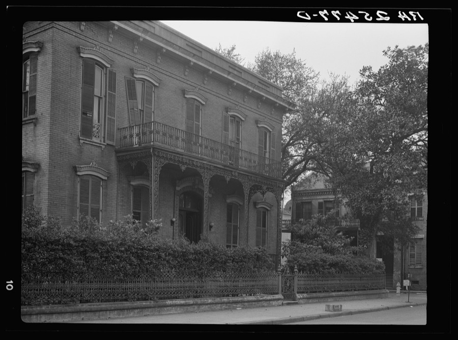
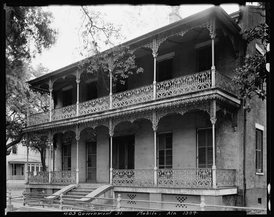
The complete index for Mobile County.

Provenance

  • Topographic sheets. USGS Historical Topographic Map Collection, county index, measured from the bulk metadata.
  • Fire insurance maps. Library of Congress Sanborn collection, faceted to this county.
  • Photographs. Each place queried individually against the Library of Congress Prints and Photographs search.
  • Wildfire. Short, Karen C. 2022. Spatial wildfire occurrence data for the United States, 1992-2020 [FPA_FOD_20221014]. 6th Edition. Fort Collins, CO: Forest Service Research Data Archive. https://doi.org/10.2737/RDS-2013-0009.6 Collected with United States Government funding and usable without additional permissions or fees.
  • Mines and quarries. USGS Mineral Resources Data System (MRDS) https://mrdata.usgs.gov/mrds/ A work of the United States government, no copyright under 17 U.S.C. 105.
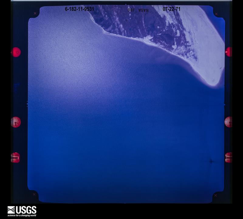
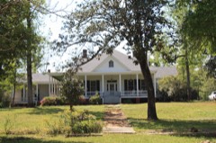
  • Storms. NOAA National Centers for Environmental Information, Storm Events Database https://www.ncei.noaa.gov/stormevents/ A work of the United States government, no copyright under 17 U.S.C. 105. Narratives are quoted verbatim from the National Weather Service report and are not edited or summarised.